All terrains
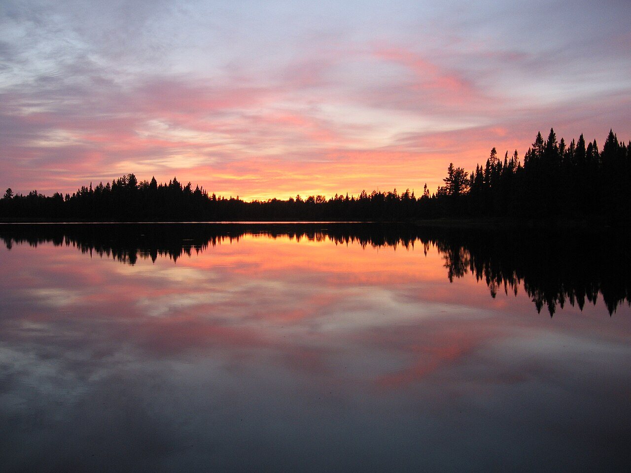
Plate LXXXI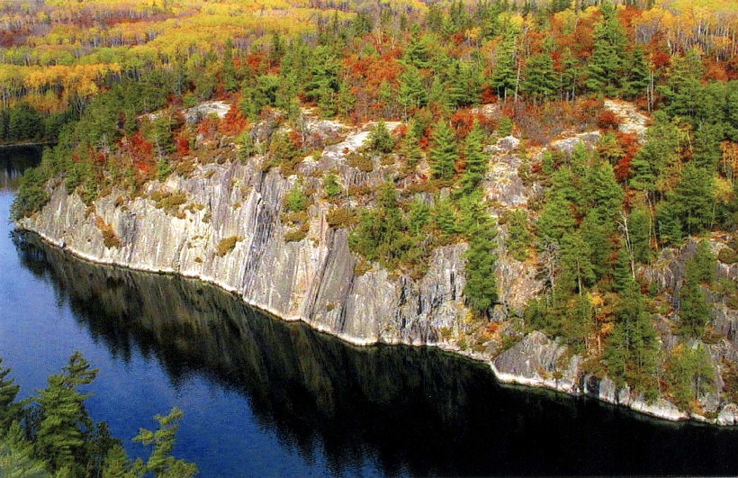 Plate CCCV
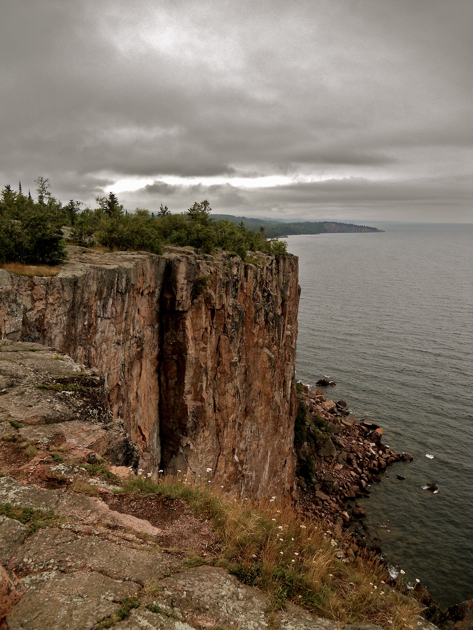 Plate CCCXI
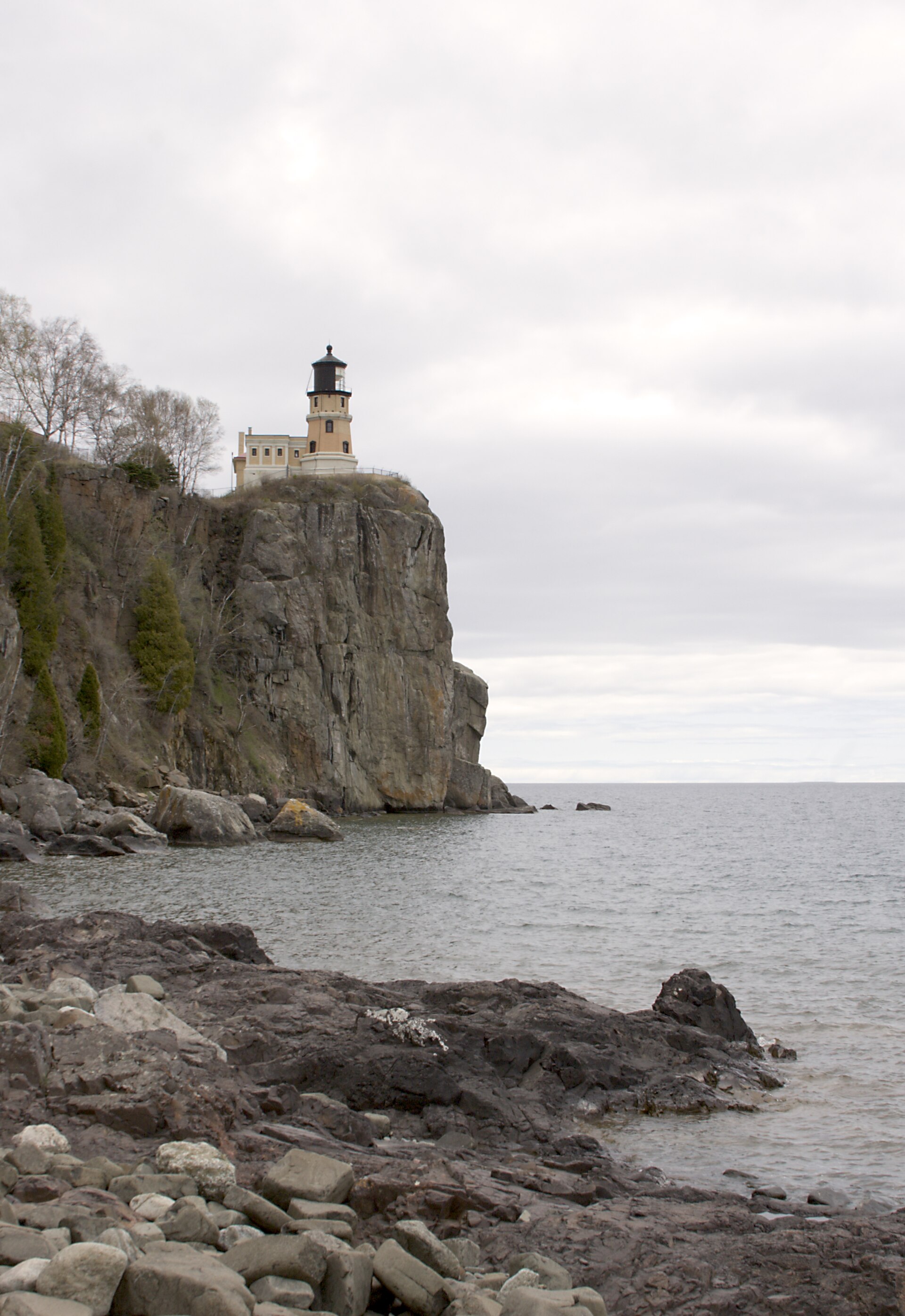 Plate CCCXVI
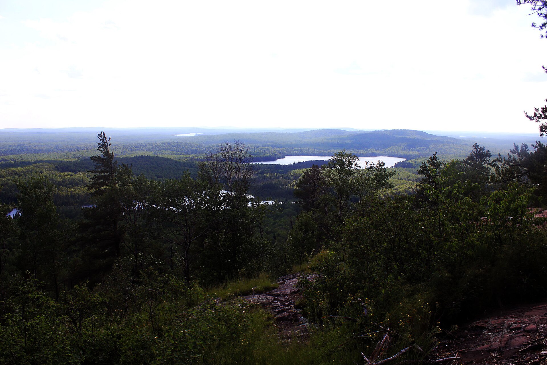 Plate CCCXLIX
State chapter
Wild places in Minnesota
Minnesota has 5 plates in this atlas, on hills, forest, and coast ground.
FrontispieceBoundary Waters, Minnesota
- Plates
- 5
- Terrains
- Hills, Forest, Coast
Minnesota
The plates
Plate LXXXIBoundary Waters
forestSuperior National Forest, Minnesota
A forest you cross by water, one lake at a time.
48.0° N · 91.5° WOpen plate →
Plate CCCVVoyageurs
forestKabetogama, Rainy, and Namakan lakes, Minnesota
A park you enter by water.
48.5° N · 92.8° WOpen plate →
Plate CCCXIPalisade Head
coastTettegouche State Park, North Shore, Minnesota
A rhyolite cliff dropping into Superior.
47.3° N · 91.2° WOpen plate →
Plate CCCXVISplit Rock
coastSplit Rock Lighthouse State Park, North Shore, Minnesota
A Superior cliff and a light on the brow.
47.2° N · 91.4° WOpen plate →
Plate CCCXLIXEagle Mountain
hillsMisquah Hills, Superior National Forest, Minnesota
The highest rock in Minnesota.
47.9° N · 90.6° WOpen plate →