The Field Atlas
0/363The open atlas
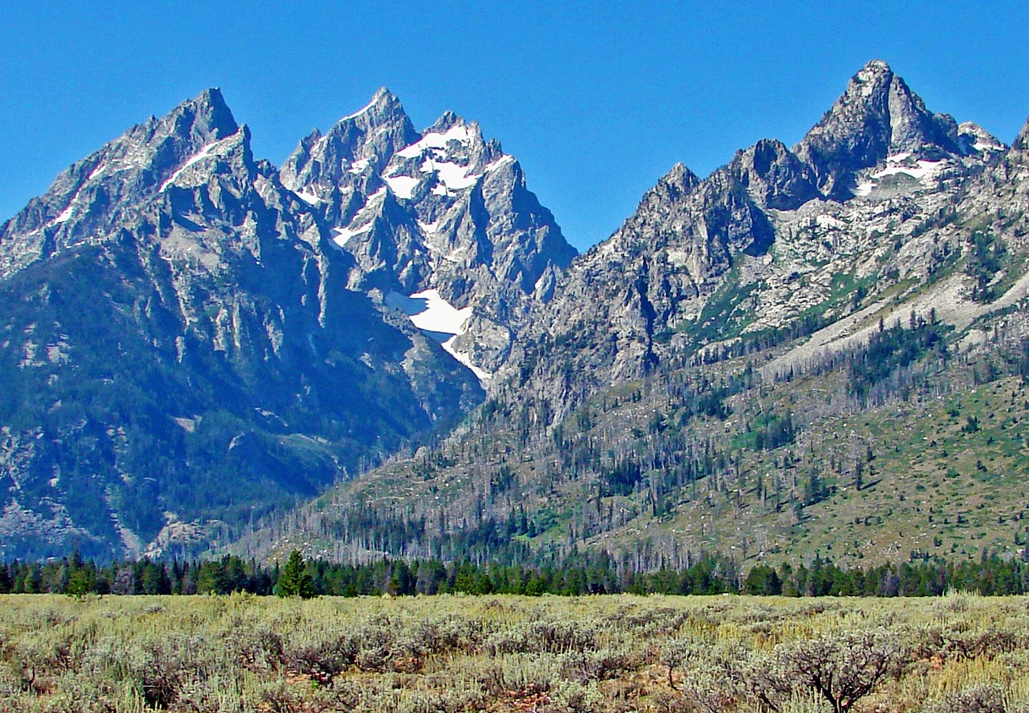 Plate XXXVI
Grand Teton
Teton Range, Jackson Hole, Wyoming
Open the plateThe Cathedral Group rising sheer from the valley
Before the road
A field book of American wilds
Spread it open the night before you leave.
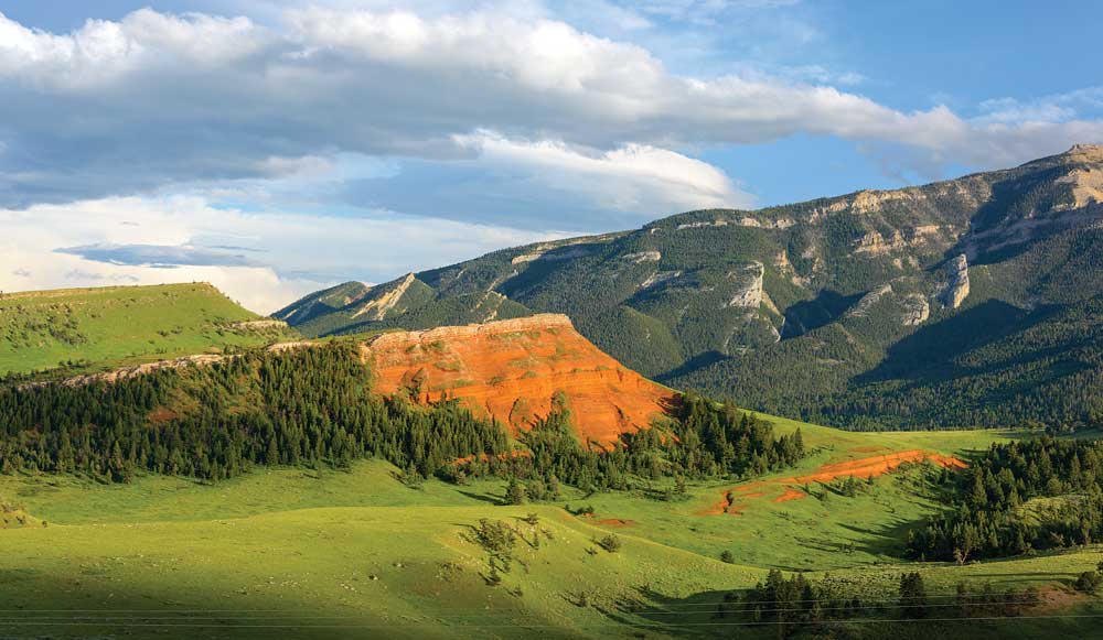 Plate XCII
Chief Joseph Byway
hillsPark County, Cody to the Beartooth, Wyoming
A red hill in a green park, and a mountain watching it.
44.7° N · 109.4° WOpen plate →
 Plate XV
The Palouse
hillsWashington
A country of hills that look poured, not built.
46.7° N · 117.2° WOpen plate →
 Plate XLVII
Badlands
hillsWhite River drainage, South Dakota
A prairie that has been taken apart and left in piles.
43.9° N · 102.3° WOpen plate →
Also on this route
- The Needles, Black Hills
- Theodore Roosevelt National Park
- Dolly Sods
- Dead Indian Pass
- Garden of the Gods
- Pawnee Buttes
- Flat Tops
- Plaza Blanca
- Organ Mountains
- Lake of the Clouds
- Alabama Hills
- City of Rocks
- Gros Ventre Red Hills
- Gros Ventre Slide
- Steamboat Point
- Red Mountain Open Space
- Chimney Rock
- Paint Mines
- Mount Ellen
- Burr Trail
- Checkerboard Mesa
- Fisher Towers
- Weaver's Needle
- Cathedral Rock
- Picacho Peak
- Hueco Tanks
- Davis Mountains
- Little Missouri National Grassland
- Enchanted Rock
- Buffalo Gap National Grassland
- South Llano
- Black Mesa
- Wichita Mountains
- Grayson Highlands
- Spruce Knob
- Uncompahgre Plateau
- Castle Crags
- Makoshika
- Medicine Rocks
- Shawnee Garden of the Gods
- Hercules Glades
- Eagle Mountain
- Mogollon Rim
- Abert Rim
Tallgrass and dry prairie
Prairie
Prairie is the American distance without a summit: tallgrass, Dakota mixed-grass, coastal grassland, and fire-kept dry prairie under a working sky.
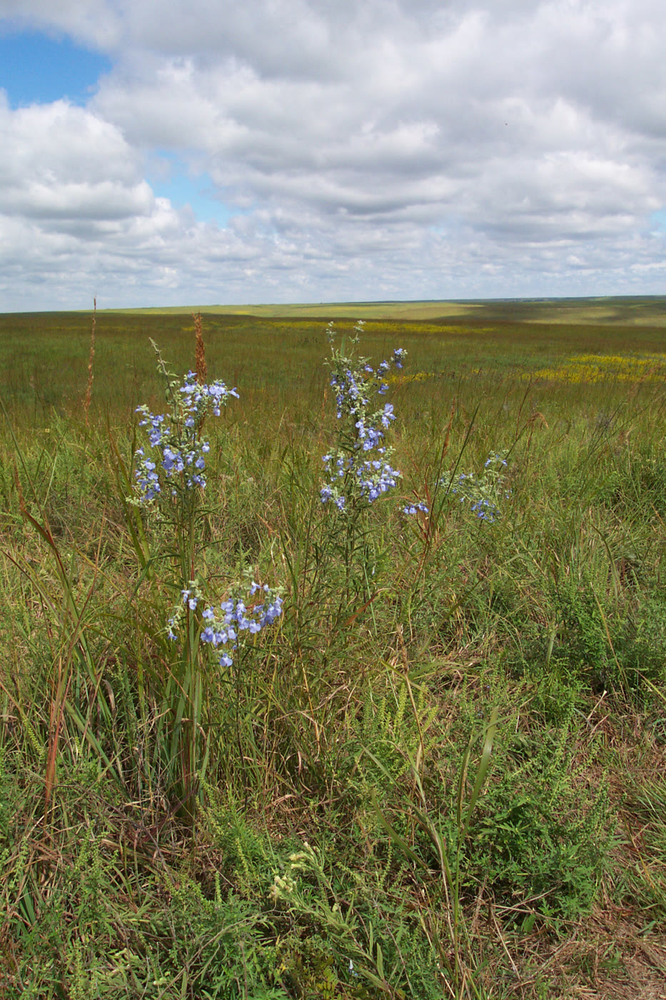 Plate CLIII
Tallgrass Prairie National Preserve
prairieFlint Hills, Chase County, Kansas
A sea of grass the plow never reached.
38.4° N · 96.6° WOpen plate →
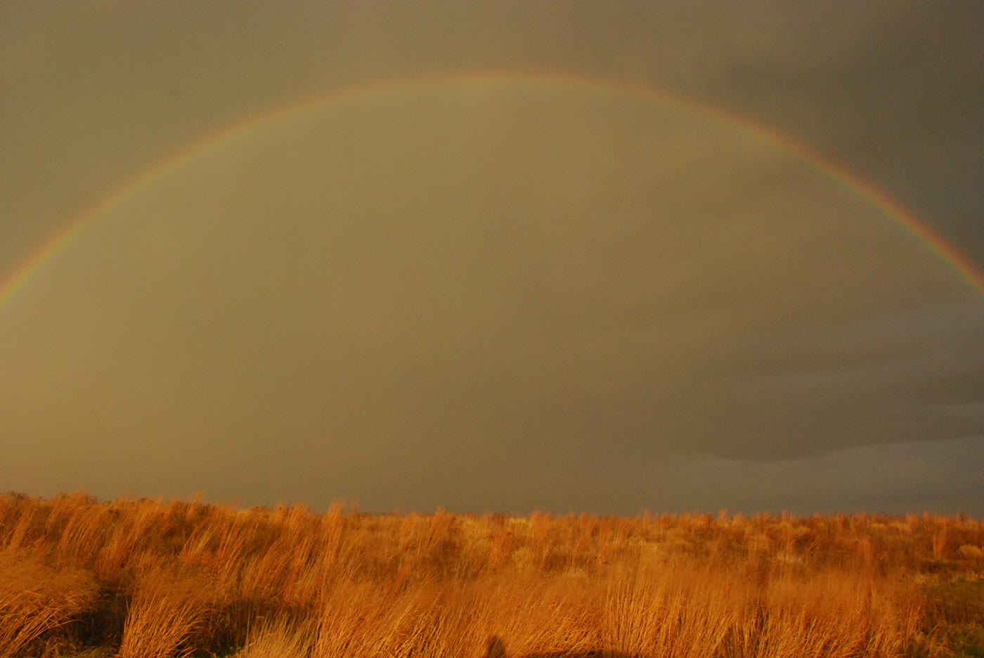 Plate CLIV
Neal Smith National Wildlife Refuge
prairiePrairie City, Jasper County, Iowa
Iowa’s reconstructed sea of grass.
41.6° N · 93.3° WOpen plate →
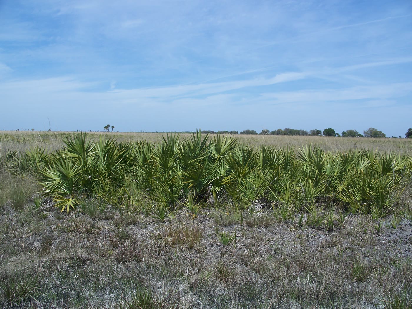 Plate CLV
Kissimmee Prairie Preserve
prairieOkeechobee County, Florida
The largest remaining Florida dry prairie.
27.6° N · 81.0° WOpen plate →
Also on this route
Vertical country
Canyon
This chapter is the vertical country: river gorges, plateau rims, and slot canyons cut through the Colorado Plateau, with a few quieter cuts farther afield.
 Plate I
Grand Canyon
canyonSouth Rim, Coconino County, Arizona
Two billion years of stone stacked like a book, opened by the Colorado River.
36.1° N · 112.1° WOpen plate →
 Plate II
Antelope Canyon
canyonNavajo Nation, near Page, Arizona
Wind and flood wrote a corridor of fire-colored stone.
36.9° N · 111.4° WOpen plate →
 Plate V
Zion Canyon
canyonZion National Park, Utah
A river walking through a cathedral of red walls.
37.3° N · 113.0° WOpen plate →
Also on this route
- Big Bend
- Bryce Canyon
- Horseshoe Bend
- Waimea Canyon
- New River Gorge
- Island in the Sky
- Dead Horse Point
- Cedar Breaks
- Goosenecks
- Canyon de Chelly
- Palo Duro Canyon
- Palouse Falls
- Watkins Glen
- Red River Gorge
- Kings Canyon
- River of No Return
- Red Canyon
- Clarks Fork Canyon
- Black Canyon of the Gunnison
- Colorado National Monument
- Rio Grande Gorge
- Toroweap Overlook
- Hells Canyon
- Columbia Gorge
- Calf Creek
- Shell Falls
- Bighorn Canyon
- Flaming Gorge
- Ayres Natural Bridge
- Tensleep Canyon
- Medicine Wheel Passage
- Mesa Verde
- Square Tower House
- Canyons of the Ancients
- Rattlesnake Canyon
- Harper's Corner
- Rifle Falls
- Zapata Falls
- Split Mountain
- Desolation Canyon
- Snow Canyon
- Waterpocket Fold
- Cassidy Arch
- Buckskin Gulch
- Peekaboo Gulch
- Golden Cathedral
- Metate Arch
- Grosvenor Arch
- Kolob Canyons
- The Subway
- Hickman Bridge
- Chimney Rock, Capitol Reef
- The Narrows
- Angels Landing
- Corona Arch
- The Doll House
- Great Gallery
- Little Wild Horse Canyon
- The Wedge Overlook
- House on Fire
- Muley Point
- Hovenweep Square Tower
- Havasu Falls
- Devil's Bridge
- Paria Canyon
- Marble Canyon
- Cape Royal
- Caprock Canyons
- Copper Breaks
- Kiowa National Grassland
- Seminole Canyon
- Colorado Bend
- Lake Meredith
- Linville Gorge
- Blodgett Canyon
- Letchworth
- Taughannock Falls
- Petit Jean
- Needles Overlook
- Anticline Overlook
- Canyonlands Overlook
- Head of the Rocks Overlook
- Boynton Overlook
- Alstrom Point
- Moki Dugway
- Comb Ridge
- Burr Point Overlook
- Logan Canyon Wind Caves
- Dark Canyon
- Gulf Hagas
- Little River Canyon
- Pedernales Falls
Basin and butte
Desert
American deserts are not empty. Monument Valley, Death Valley, White Sands, and Organ Pipe sit beside quieter basins where the light lasts longer than the towns.
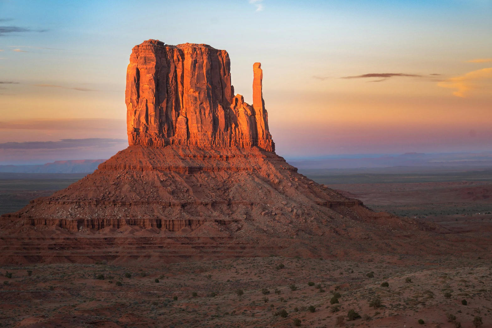 Plate III
Monument Valley
desertNavajo Tribal Park, Utah / Arizona
Red buttes standing like ships on a sea of sage.
37.0° N · 110.1° WOpen plate →
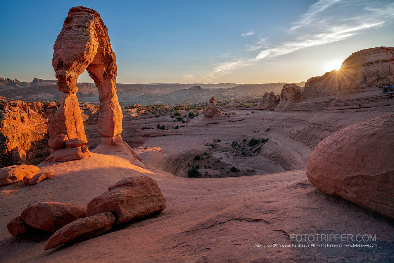 Plate IV
Arches
desertArches National Park, near Moab, Utah
A desert of windows punched through red rock.
38.7° N · 109.6° WOpen plate →
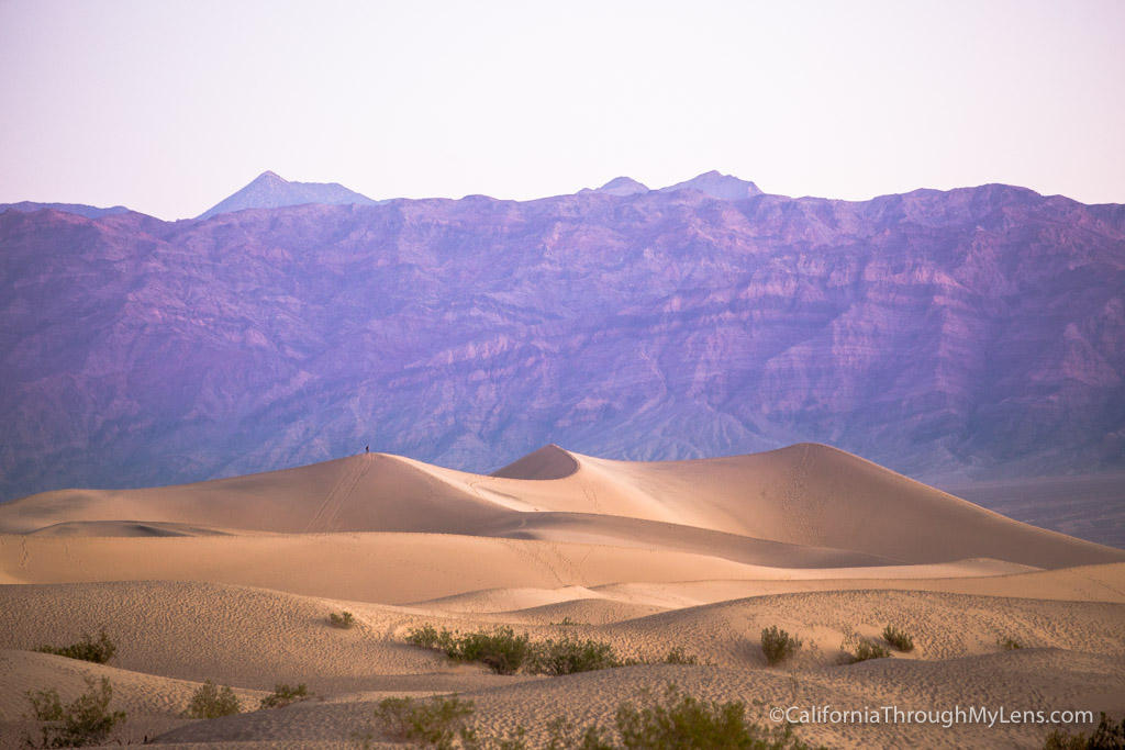 Plate VII
Death Valley
desertMojave & Great Basin, California
A basin so deep the air itself grows heavy.
36.5° N · 116.9° WOpen plate →
Also on this route
- Painted Hills
- Sedona
- Mesa Arch
- Joshua Tree
- Valley of Fire
- Mono Lake
- Goblin Valley
- The Needles
- White Pocket
- Cathedral Valley
- Natural Bridges
- Blue Mesa
- Guadalupe Mountains
- McCullough Peaks
- Ah-Shi-Sle-Pah
- Bisti / De-Na-Zin
- Valley of the Gods
- Wahweap Hoodoos
- Factory Butte
- Cathedral Gorge
- Little Finland
- Trona Pinnacles
- Anza-Borrego
- Pyramid Lake
- Red Rock Canyon
- Alvord Desert
- Kodachrome Basin
- Organ Pipe
- Bonneville Salt Flats
- Notch Peak
- Toadstool Hoodoos
- Sun Tunnels
- The Wave
- Saguaro National Park
- Painted Desert
- Big Bend Ranch
- Escalante Petrified Forest
- The Blues Overlook
- Moonscape Overlook
Seas of sand
Dunes
Sand dunes gather where wind has a long fetch and loose grain: Colorado’s Great Sand Dunes, Oregon’s coastal ridges, and inland basins that still behave like a shore.
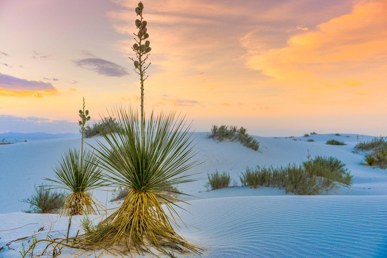 Plate VI
White Sands
duneTularosa Basin, New Mexico
A sea of gypsum that behaves like snow and light.
32.8° N · 106.3° WOpen plate →
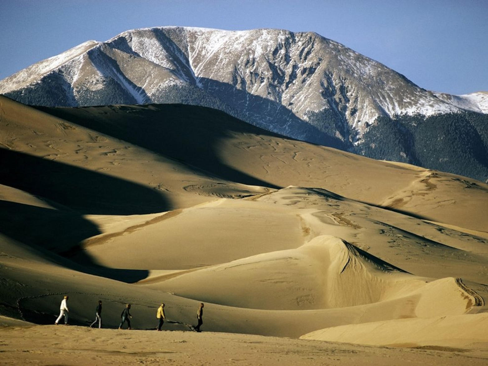 Plate XIX
Great Sand Dunes
duneSan Luis Valley, Colorado
A Sahara parked at the foot of fourteeners.
37.8° N · 105.6° WOpen plate →
 Plate XLVIII
Sleeping Bear Dunes
duneMichigan
A dune so high the lake looks like another sky.
44.9° N · 86.1° WOpen plate →
High country
Alpine
Alpine country means the Rockies, Sierras, Cascades, and Alaska ranges where trees thin and stone takes over.
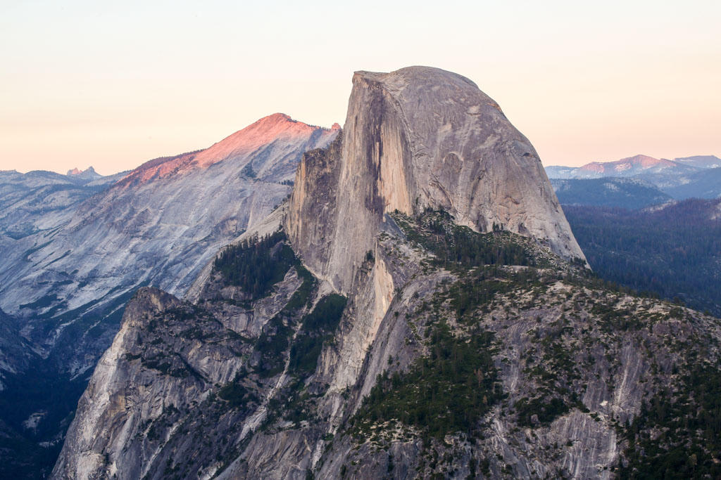 Plate IX
Yosemite Valley
alpineSierra Nevada, California
Ice carved a hall of granite and left the water falling.
37.7° N · 119.6° WOpen plate →
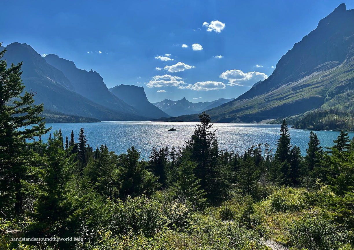 Plate XVII
Glacier Country
alpineGlacier National Park, Montana
A range still wearing the shape of its vanished ice.
48.8° N · 113.8° WOpen plate →
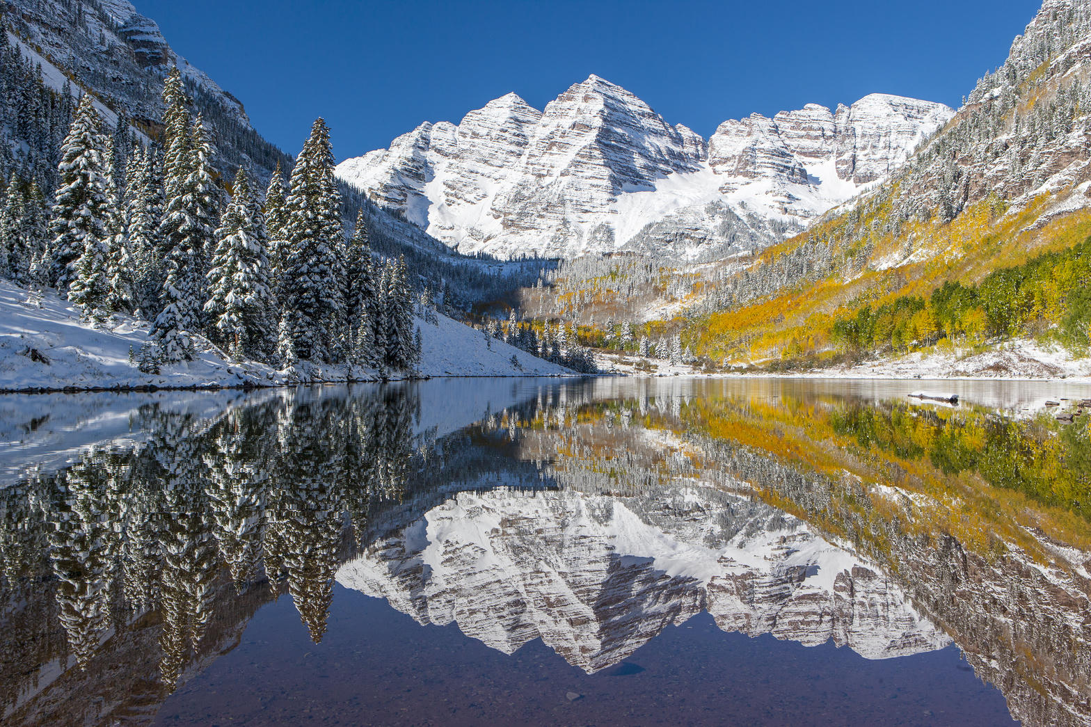 Plate XVIII
Maroon Bells
alpineWhite River National Forest, near Aspen, Colorado
Two matching summits doubled in still water.
39.1° N · 107.0° WOpen plate →
Also on this route
- Denali
- White Mountains
- Great Basin
- Grand Teton
- North Cascades
- Lake Tahoe
- The Sawtooths
- Beartooth Pass
- Green River Lakes
- Adirondack High Peaks
- High Uintas
- Sunlight Basin
- Mount Sneffels
- American Basin
- Sangre de Cristo Range
- Uncompahgre Peak
- Wheeler Peak
- Kiger Gorge
- Ruby Mountains
- Wallowa Mountains
- Cirque of the Towers
- Cloud Peak
- Togwotee Pass
- Fremont Lake
- Medicine Bow
- Laramie Peak
- Medicine Wheel
- Meadowlark Lake
- Bridal Veil Falls
- Lizard Head
- Trout Lake
- Chicago Basin
- Blue Lakes
- Hanging Lake
- Crystal Mill
- Lake Blanche
- Emerald Lake
- Cecret Lake
- Tony Grove Lake
- Red Castle
- Humphreys Peak
- State Forest State Park
- Silver Jack
- Columbine
- Platoro
- Holy Cross
- La Sal Mountains
- Pecos Wilderness
- Chugach
- Cabinet Mountains
- Anaconda-Pintler
- Mount Eddy
- Guardsman Pass Overlook
- Mirror Lake Highway
- Larkins Lake
- Fourth of July Lake
- Angel Lake
- Arc Dome
- Image Lake
- Holland Lake
- Ice Lake
- Waldo Lake
Canopy country
Forest
American forests are not one biome. Coastal redwoods, Pacific Northwest fir, eastern hardwoods, and isolated woods on the plains all ask for different walking.
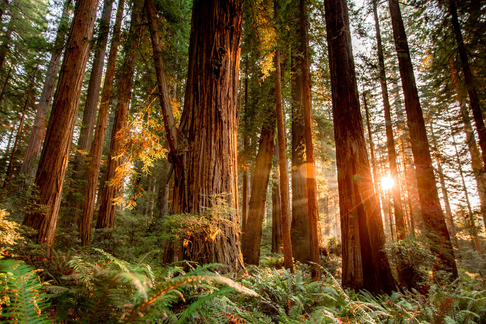 Plate X
Coast Redwoods
forestRedwood National and State Parks, California
A forest that drinks the Pacific fog.
41.2° N · 124.0° WOpen plate →
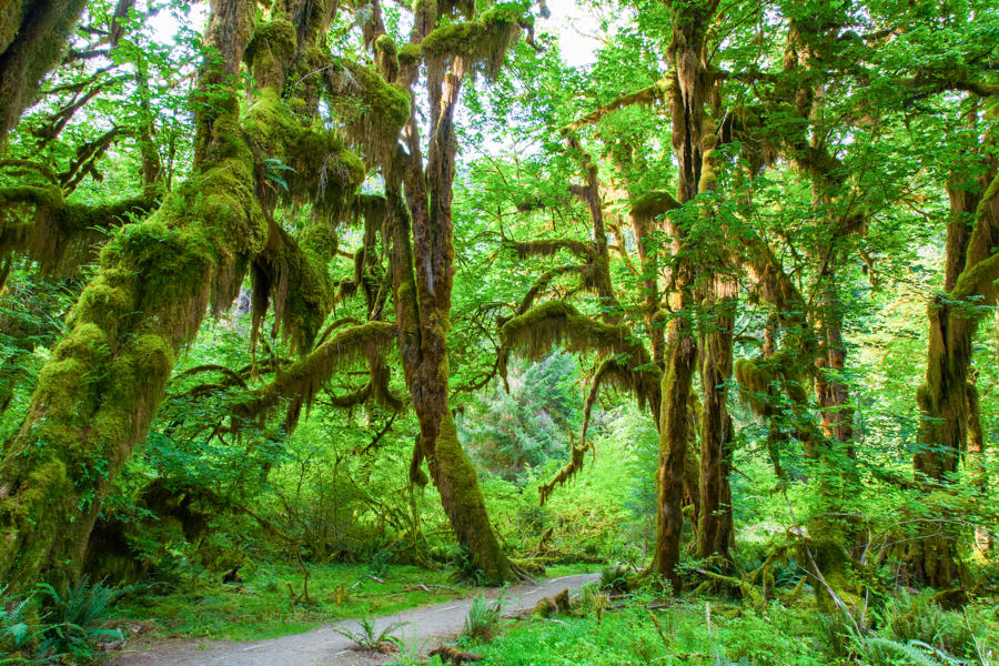 Plate XII
Hoh Rain Forest
forestOlympic National Park, Washington
A green hush that never quite dries.
47.9° N · 123.9° WOpen plate →
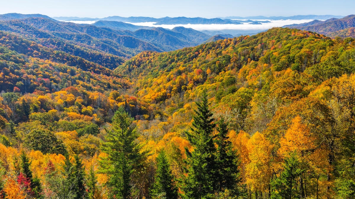 Plate XXVI
Great Smoky Mountains
forestSouthern Appalachians, Tennessee / North Carolina
A forest so old it makes its own blue weather.
35.6° N · 83.5° WOpen plate →
Also on this route
- Giant Sequoias
- Shenandoah
- Shoshone National Forest
- Tongass
- Ancient Bristlecones
- Boundary Waters
- Gila Wilderness
- The Bob
- Pisgah
- Kaibab Plateau
- Grand Mesa
- Lost Creek Wilderness
- Kebler Pass
- Pando
- Donut Falls
- Oak Creek Canyon
- Lost Maples
- Big Thicket
- Sugarite Canyon
- Voyageurs
- Tahquamenon Falls
- Blackwater Falls
- Ricketts Glen
- Burney Falls
- Proxy Falls
- Silver Falls
- Panthertown Valley
- McCormick Wilderness
- Joyce Kilmer Memorial Forest
- Richland Creek
- Sylvania Wilderness
Headland and shore
Coast
The American coast is not only a beach. Headlands, sea stacks, tide flats, and volcanic islands sit beside quieter strands.
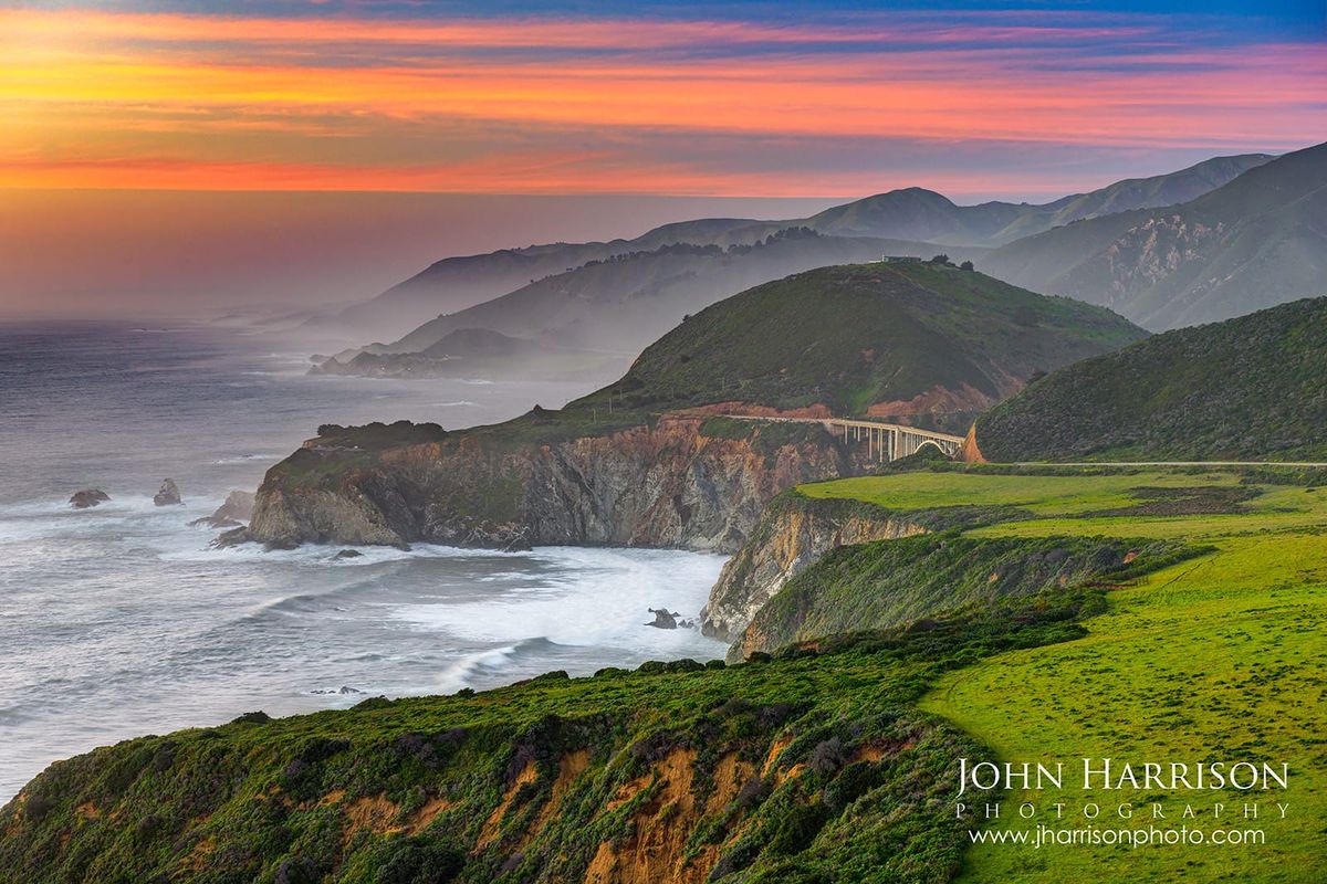 Plate XI
Big Sur
coastSanta Lucia Range, Central Coast, California
Where the continent ends in a long green fall to the sea.
36.3° N · 121.8° WOpen plate →
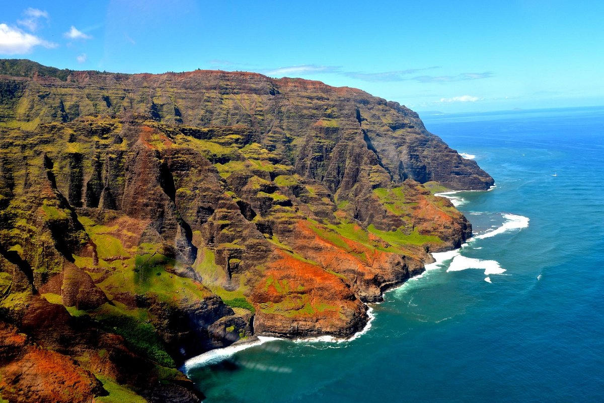 Plate XXII
Nā Pali Coast
coastKauaʻi, Hawaii
A green cathedral falling straight into deep water.
22.2° N · 159.6° WOpen plate →
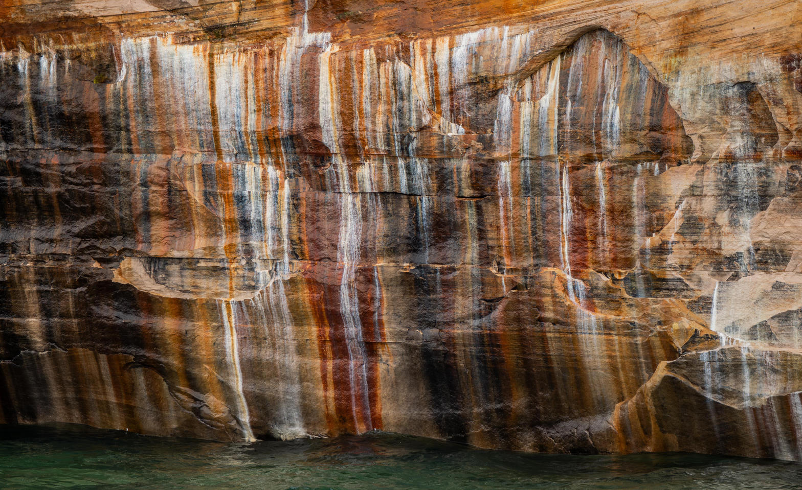 Plate XXIII
Pictured Rocks
coastLake Superior shore, Michigan
A painted wall standing in freshwater sea.
46.6° N · 86.3° WOpen plate →
Water and grass
Wetland
Wetlands are some of the most living ground in the United States: sawgrass, cypress, prairie potholes, and salt marsh.
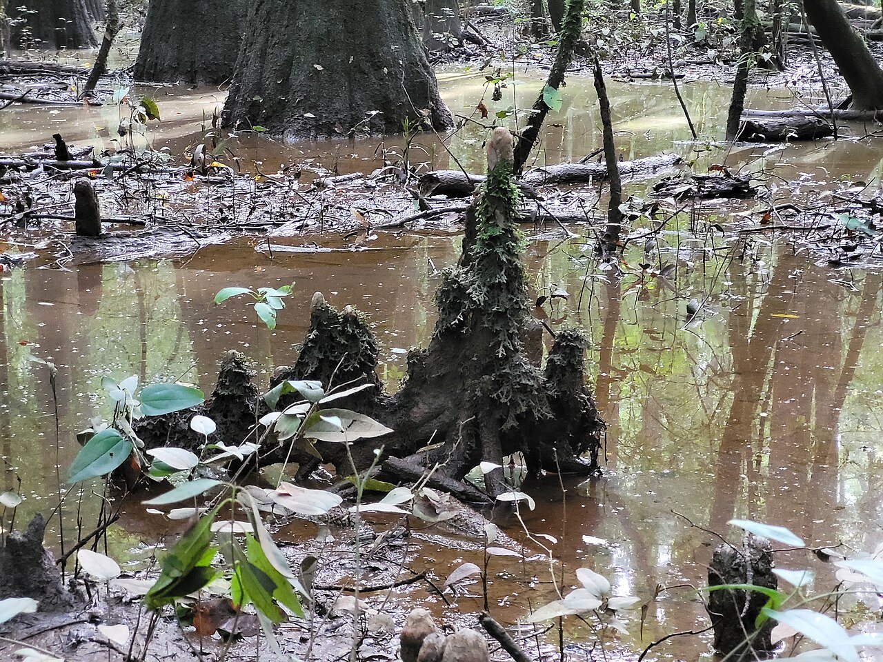 Plate XXVII
Congaree
wetlandCongaree River floodplain, South Carolina
A floodplain forest that still remembers being a wilderness.
33.8° N · 80.8° WOpen plate →
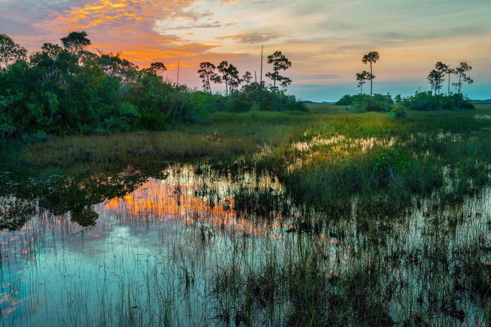 Plate XXVIII
Everglades
wetlandFlorida
Not a swamp so much as a river too wide to see.
25.3° N · 80.9° WOpen plate →
 Plate LII
Caddo Lake
wetlandCypress swamp on the Texas–Louisiana line, Texas / Louisiana
A forest that decided to stand in the water.
32.7° N · 94.1° WOpen plate →
Also on this route
Fire country
Volcanic
Volcanic landscapes run from Hawaiian shield slopes to Cascade cones and high desert craters.
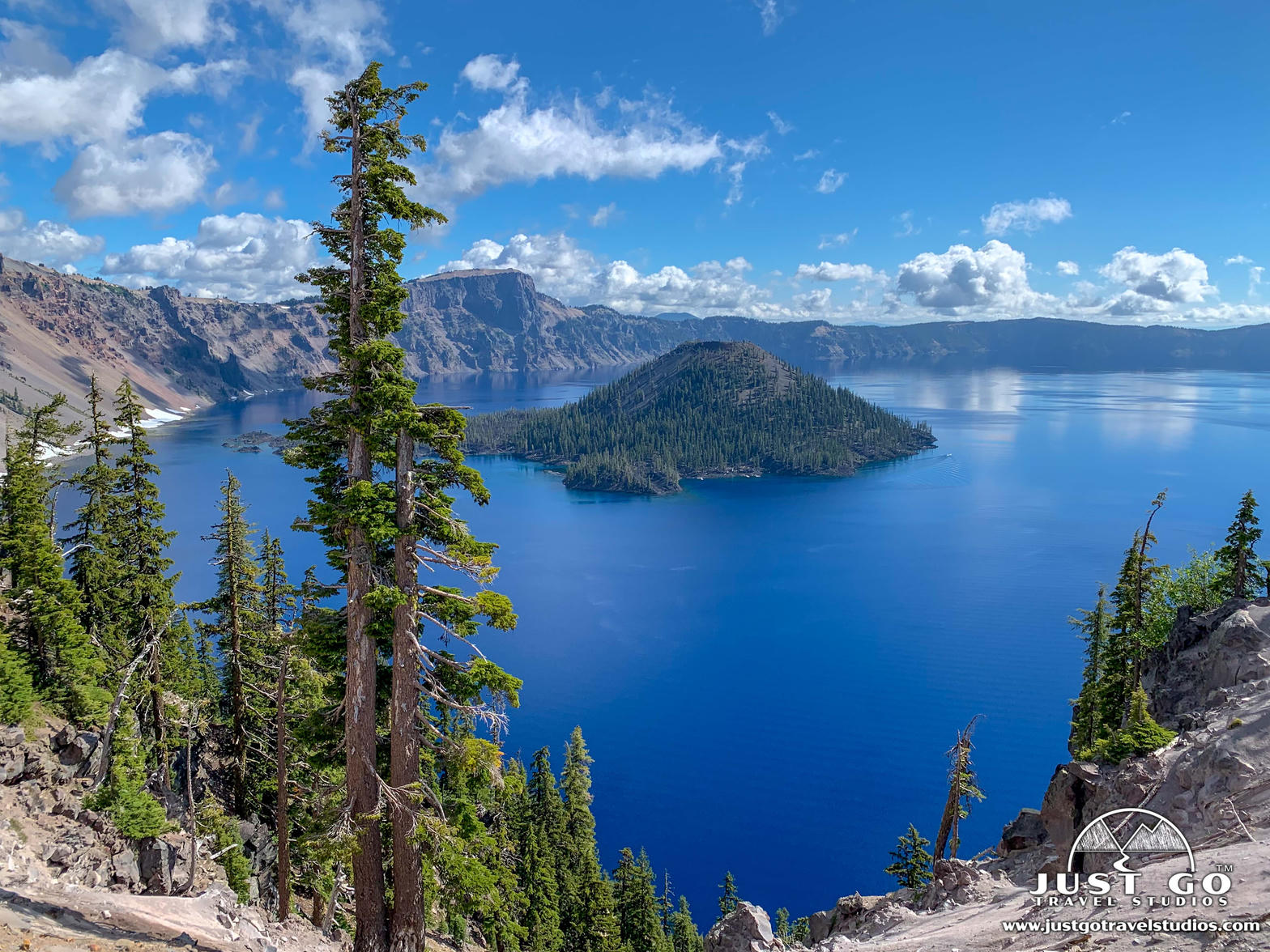 Plate XIII
Crater Lake
volcanicCascade Range, Oregon
A mountain that became a bowl of impossible blue.
42.9° N · 122.1° WOpen plate →
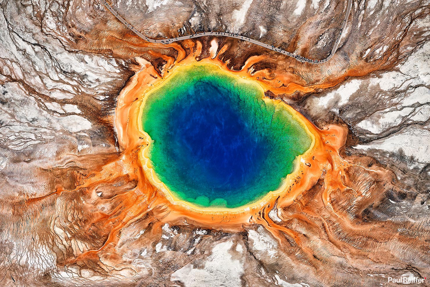 Plate XVI
Yellowstone
volcanicYellowstone Caldera, Wyoming
The ground here is still being written by fire.
44.4° N · 110.6° WOpen plate →
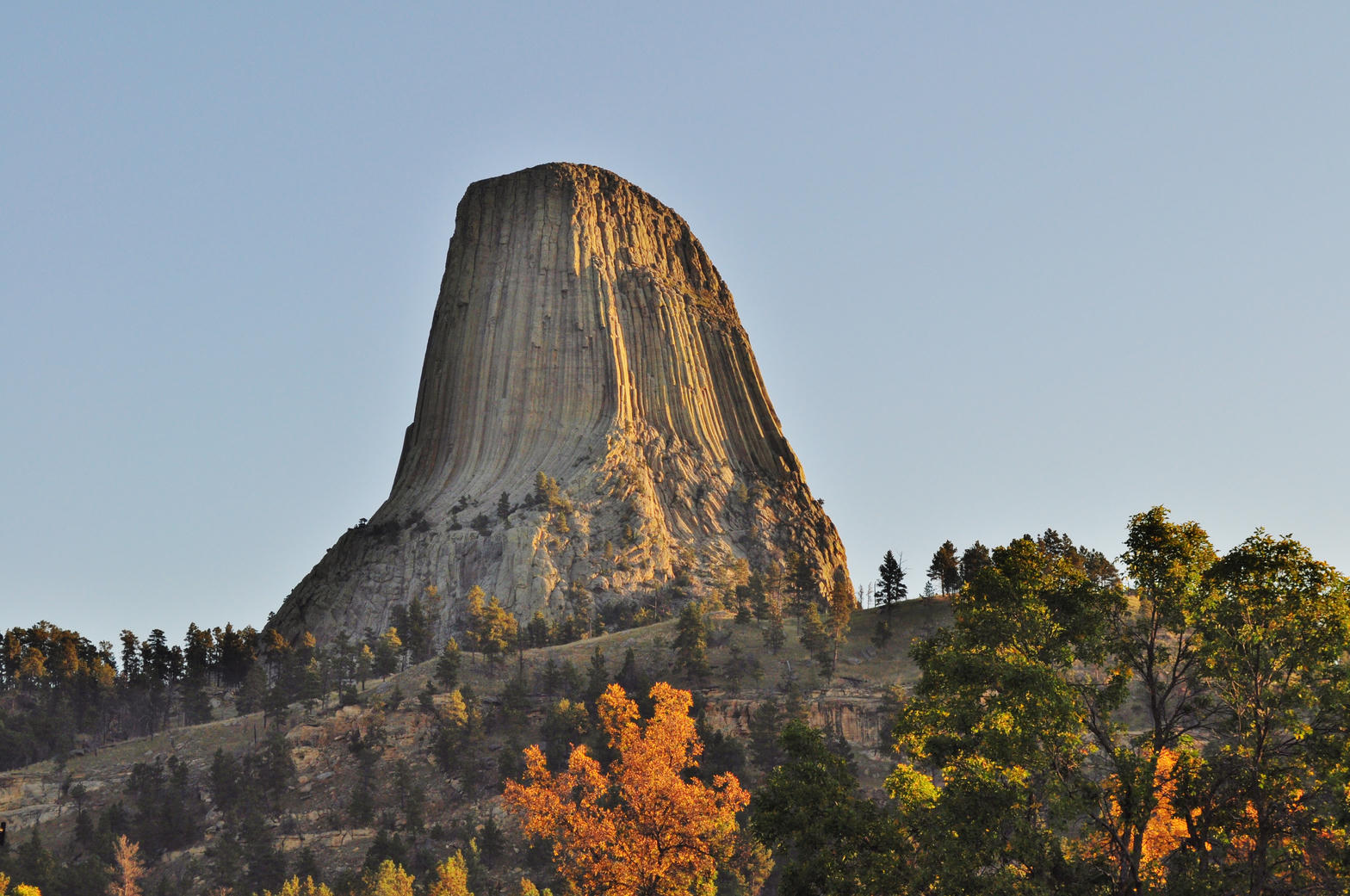 Plate XXXVII
Devils Tower
volcanicBear Lodge Mountains, Black Hills, Wyoming
A single stone column standing in a sea of prairie.
44.6° N · 104.7° WOpen plate →
Also on this route
- Craters of the Moon
- Mount Rainier
- Haleakalā
- Chiricahua
- Smith Rock
- Mount Shasta
- Three Sisters
- Red Mountain Pass
- Wheeler Geologic Area
- Shiprock
- Kasha-Katuwe Tent Rocks
- La Ventana
- Cabezon Peak
- Valles Caldera
- City of Rocks
- Valley of Fires
- Leslie Gulch
- Lassen
- Mount St. Helens
- Spanish Peaks
- Sunset Crater
- El Malpais
- Black Butte
- Medicine Lake
- Lava Beds
- Newberry
- Mount Thielsen
- Broken Top
- Mount McLoughlin
- Diamond Peak
- Pinnacles
- Mount Adams
Ice country
Glacier
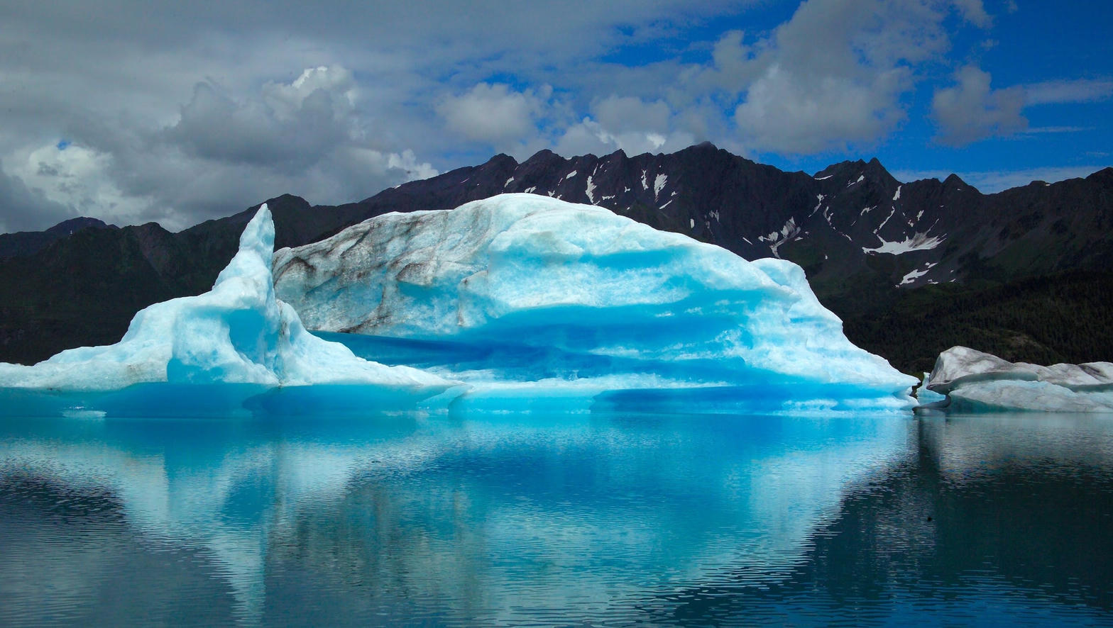
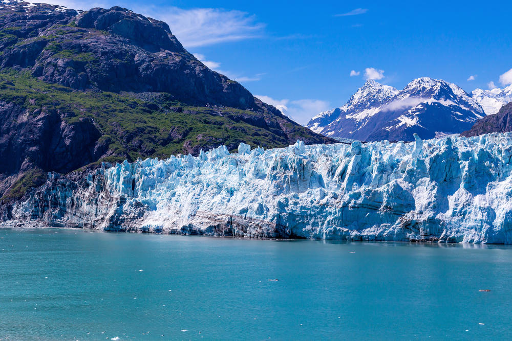
Glacier country still means Alaska first, then a handful of Lower 48 icefields that are thinning year by year.
Fold-out
The chart
Unfold the lower forty-eight, plus the far countries.
