State chapter
Wild places in Arizona
Arizona has 27 plates in this atlas, on hills, canyon, desert, alpine, forest, and volcanic ground.

FrontispieceGrand Canyon, Arizona
- Plates
- 27
- Terrains
- Hills, Canyon, Desert, Alpine, Forest, Volcanic
Arizona
The plates
Plate IGrand Canyon
canyonSouth Rim, Coconino County, Arizona
Two billion years of stone stacked like a book, opened by the Colorado River.
36.1° N · 112.1° WOpen plate →
 Plate II
Antelope Canyon
canyonNavajo Nation, near Page, Arizona
Wind and flood wrote a corridor of fire-colored stone.
36.9° N · 111.4° WOpen plate →
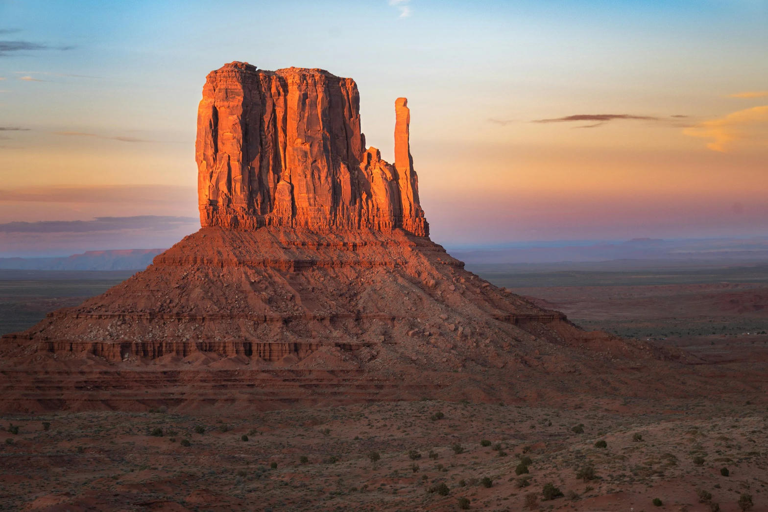 Plate III
Monument Valley
desertNavajo Tribal Park, Utah / Arizona
Red buttes standing like ships on a sea of sage.
37.0° N · 110.1° WOpen plate →
 Plate XXX
Horseshoe Bend
canyonGlen Canyon, near Page, Arizona
The river turning back on itself in a perfect horseshoe of stone.
36.9° N · 111.5° WOpen plate →
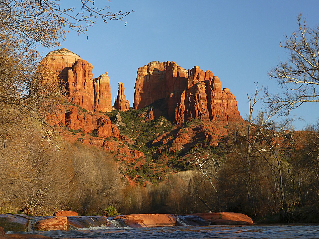 Plate XXXI
Sedona
desertRed Rock Country, Verde Valley, Arizona
Red rock that holds the last of the sun like a coal.
34.9° N · 111.8° WOpen plate →
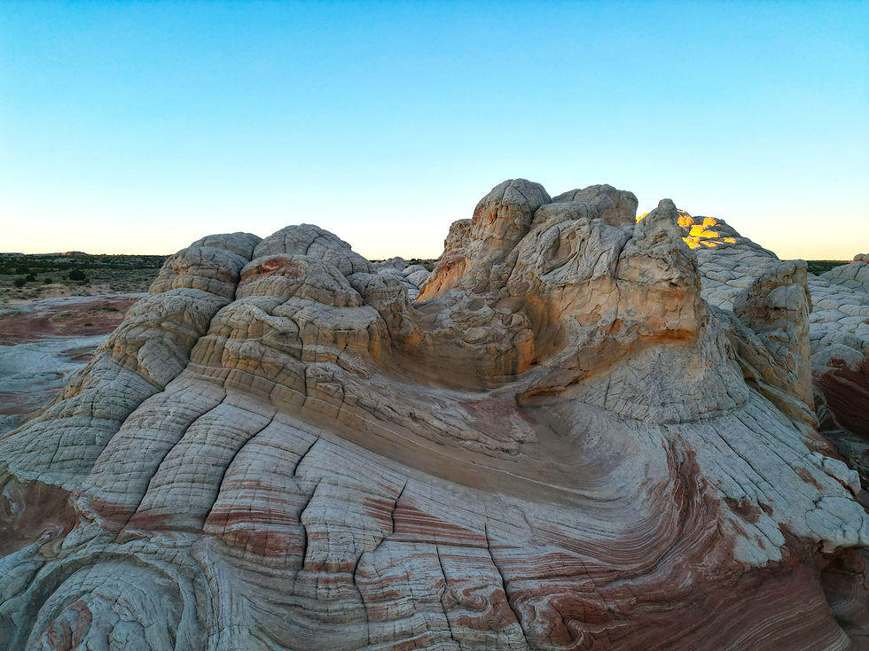 Plate LVII
White Pocket
desertVermilion Cliffs, Paria Plateau, Arizona
A stone that looks poured, then frozen mid-pour.
37.0° N · 111.9° WOpen plate →
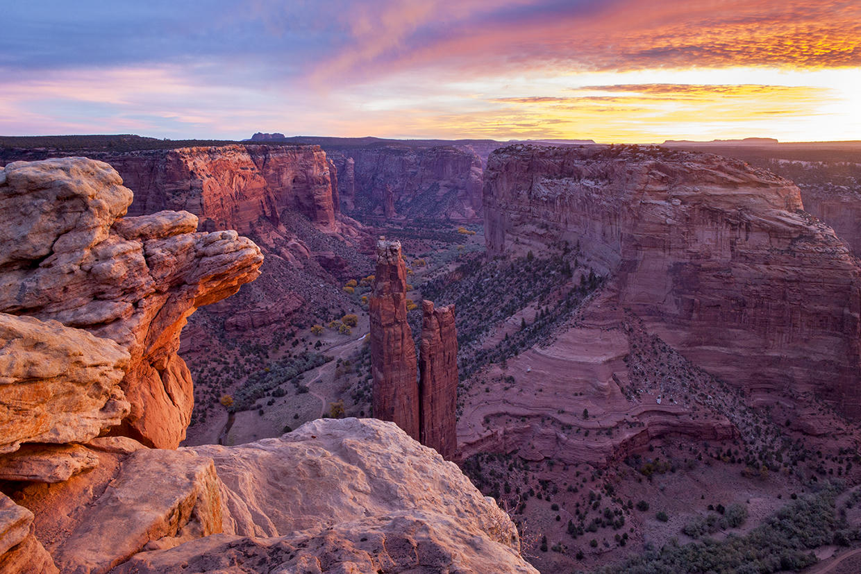 Plate LXII
Canyon de Chelly
canyonNavajo Nation, near Chinle, Arizona
A canyon that is still a home, not only a view.
36.1° N · 109.5° WOpen plate →
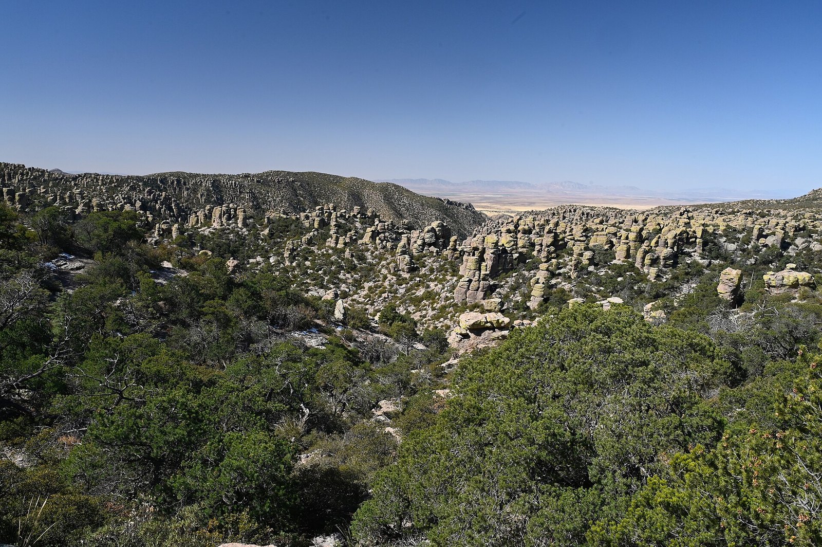 Plate LXIII
Chiricahua
volcanicChiricahua Mountains, Sky Island, Arizona
A mountain that exploded, then learned to balance.
32.0° N · 109.4° WOpen plate →
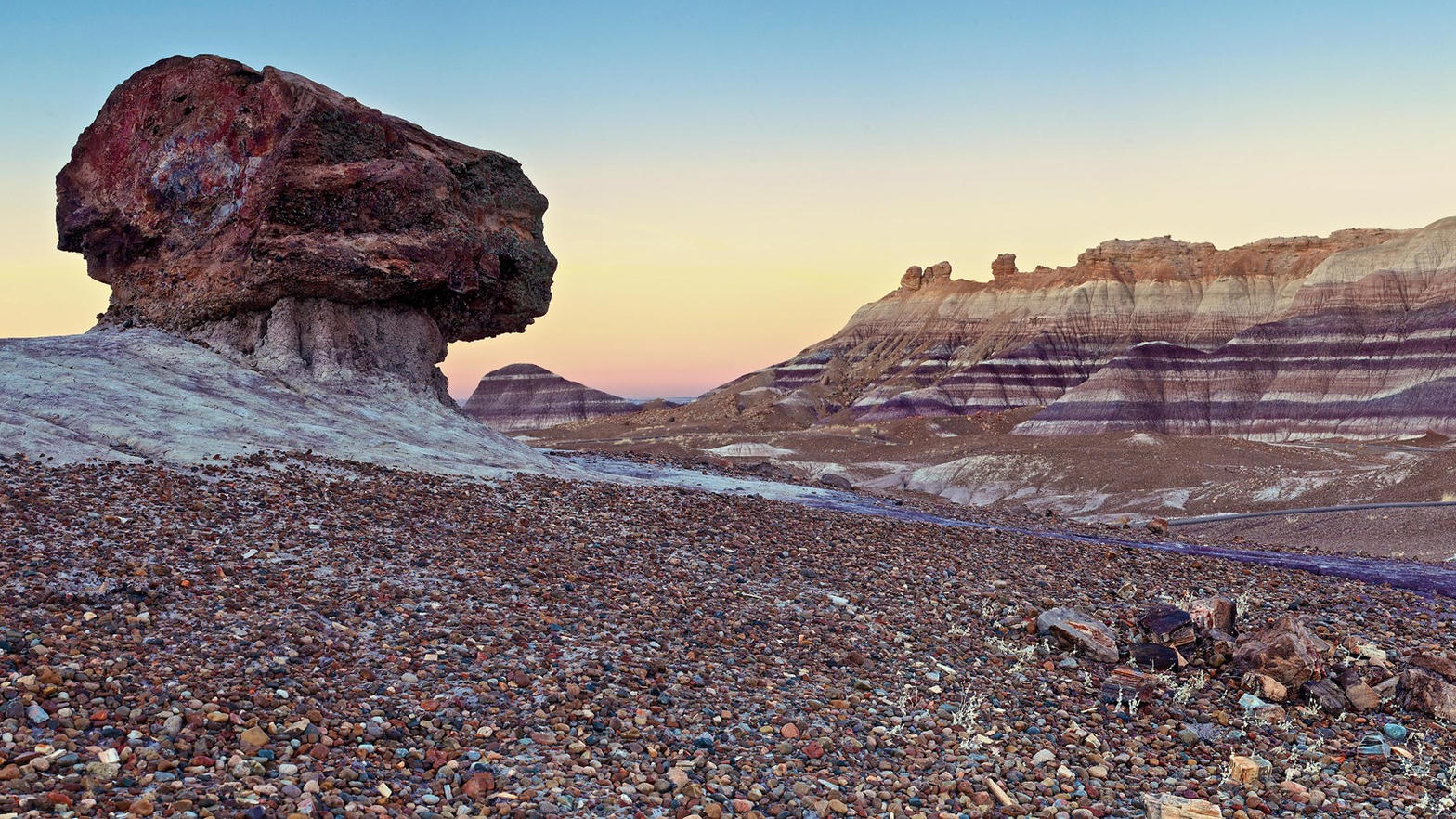 Plate LXIV
Blue Mesa
desertPetrified Forest National Park, Arizona
A hillside wearing the colors of a vanished river.
34.9° N · 109.8° WOpen plate →
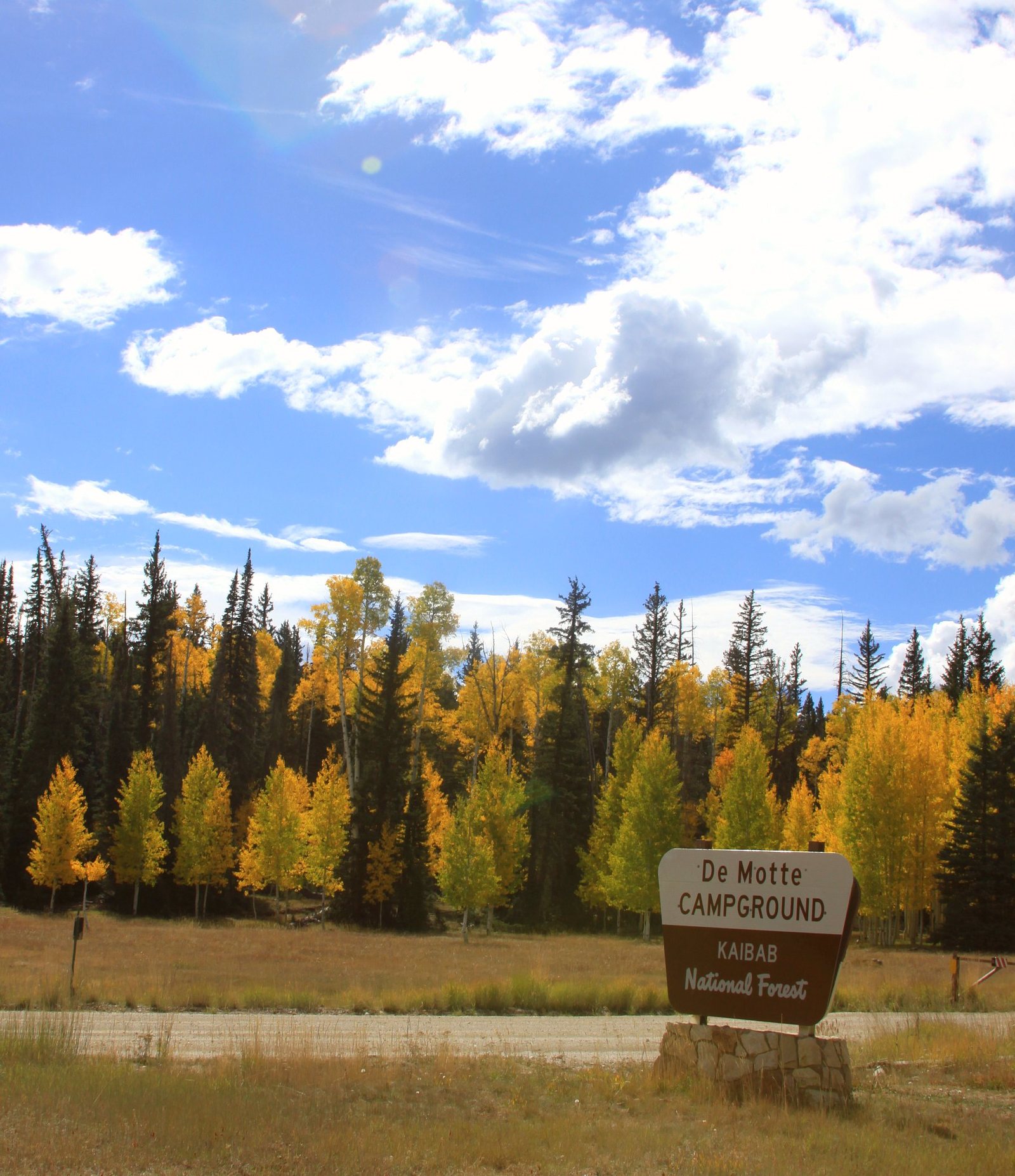 Plate LXXXVI
Kaibab Plateau
forestKaibab National Forest, North Rim country, Arizona
A yellow-pine forest standing on the canyon’s other door.
36.4° N · 112.1° WOpen plate →
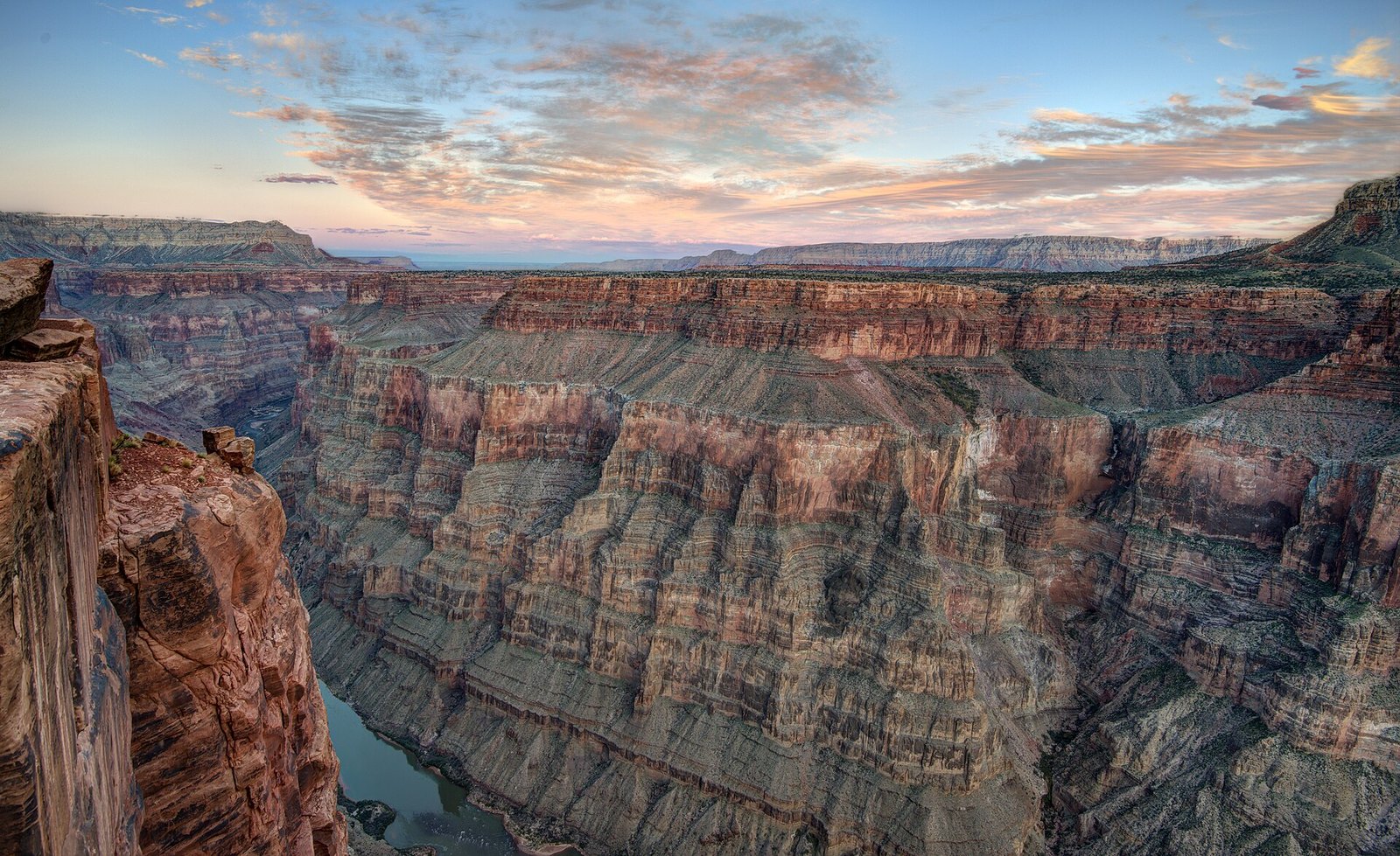 Plate CXXIV
Toroweap Overlook
canyonnorth rim of the Grand Canyon, remote west, Arizona
The canyon without the crowd.
36.2° N · 113.1° WOpen plate →
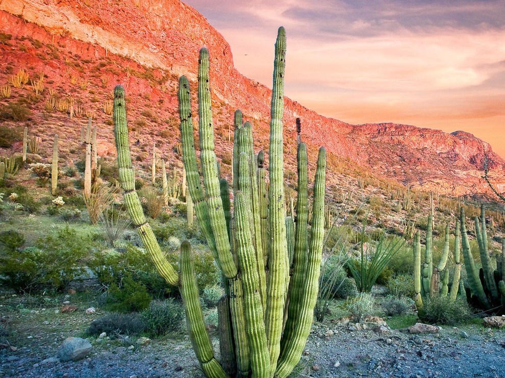 Plate CLI
Organ Pipe
desertOrgan Pipe Cactus National Monument, Arizona
A cactus forest that barely crosses the border.
32.0° N · 112.8° WOpen plate →
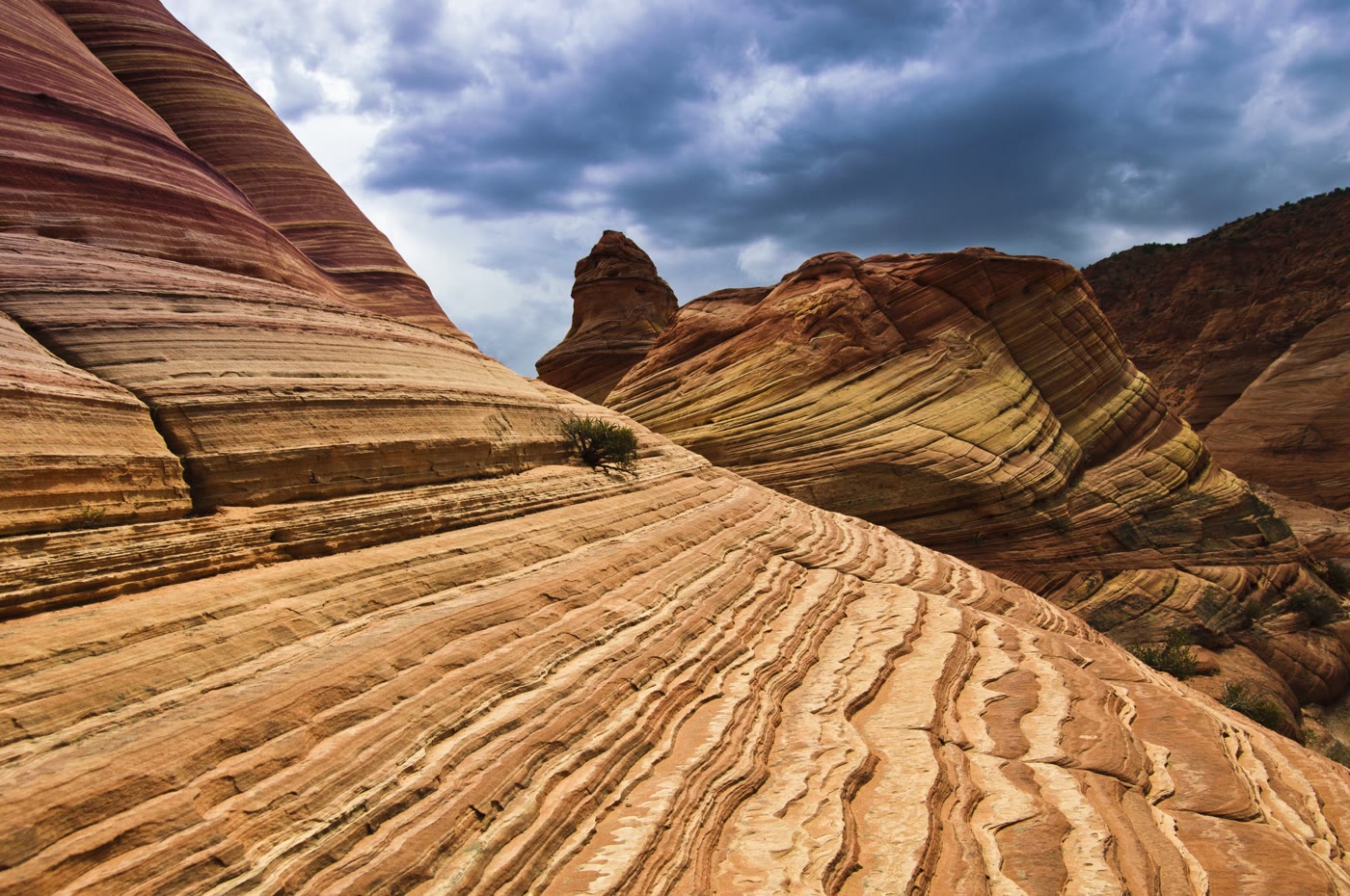 Plate CCXXXIV
The Wave
desertCoyote Buttes North, Arizona
Stone that learned the motion of water.
37.0° N · 112.0° WOpen plate →
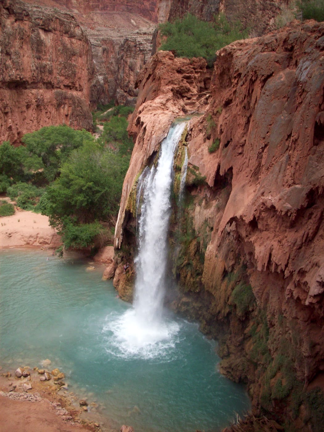 Plate CCXXXV
Havasu Falls
canyonHavasupai Reservation, Arizona
A blue pool the red wall still holds.
36.3° N · 112.7° WOpen plate →
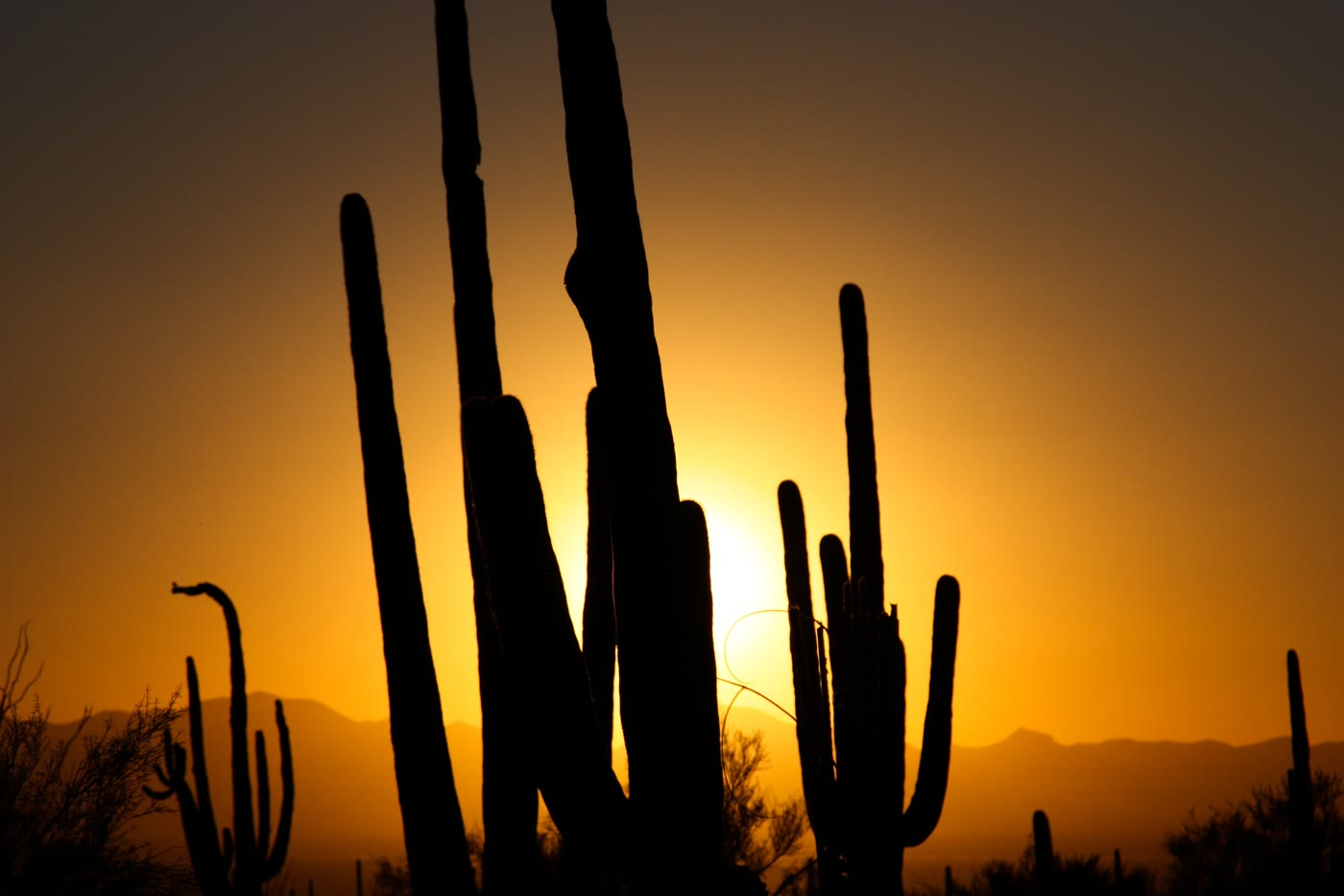 Plate CCXXXVI
Saguaro National Park
desertSonoran Desert, Tucson, Arizona
Arms the desert learned to hold up to the sun.
32.2° N · 111.2° WOpen plate →
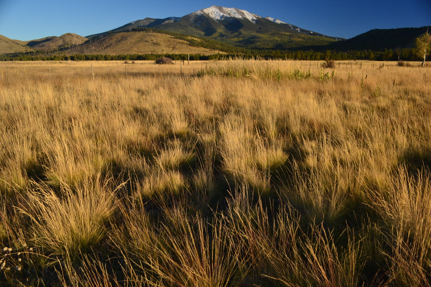 Plate CCXXXVII
Humphreys Peak
alpineSan Francisco Peaks, Arizona
The state’s high roof, still wearing snow.
35.3° N · 111.7° WOpen plate →
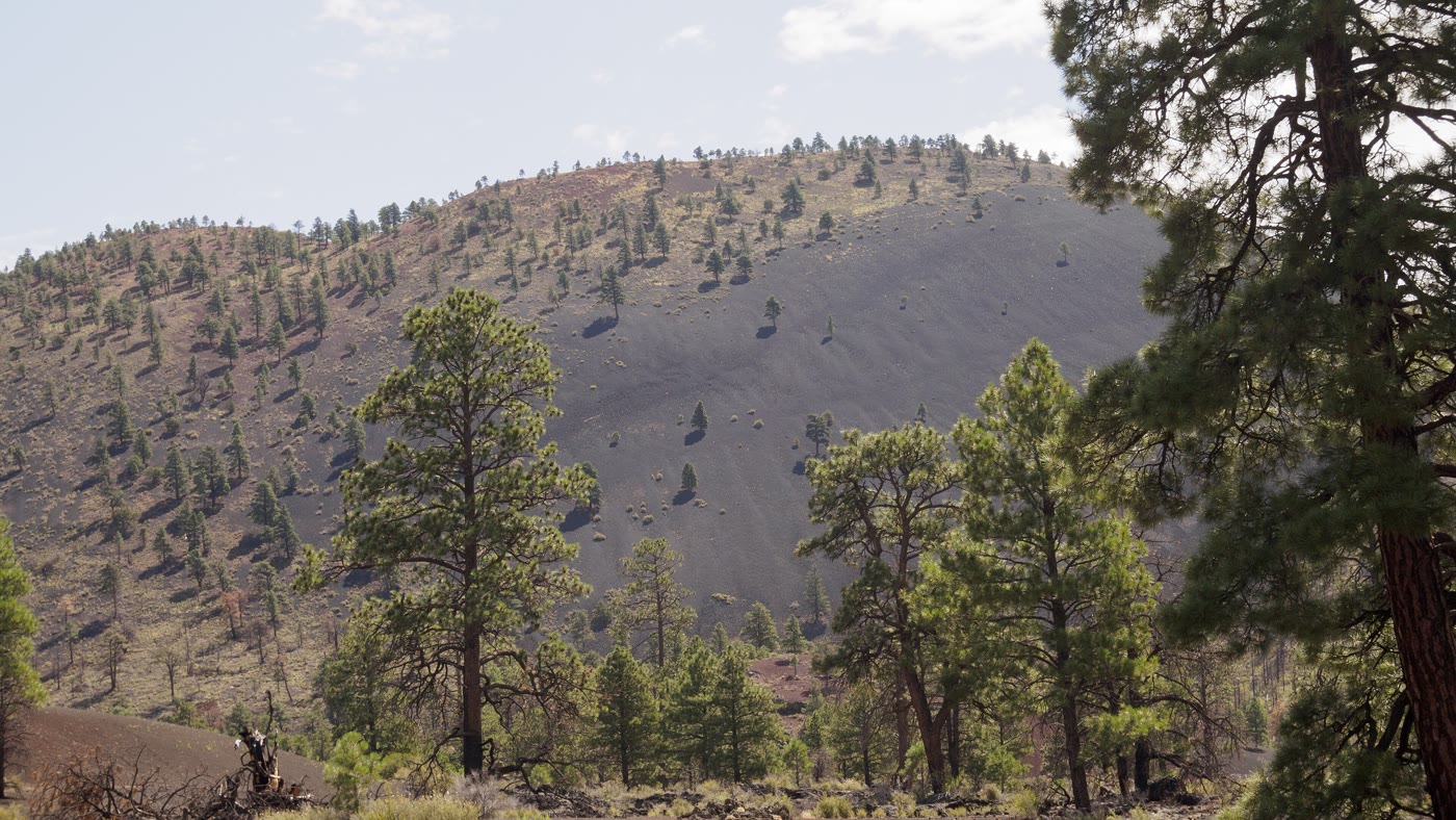 Plate CCXXXVIII
Sunset Crater
volcanicSan Francisco Volcanic Field, Arizona
A cone the last fire left standing.
35.4° N · 111.5° WOpen plate →
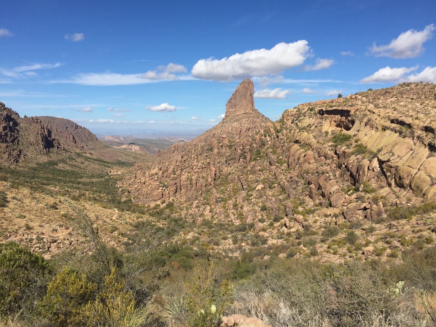 Plate CCXXXIX
Weaver's Needle
hillsSuperstition Mountains, Arizona
A needle the Superstitions kept for a landmark.
33.4° N · 111.4° WOpen plate →
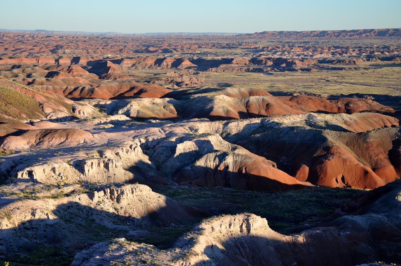 Plate CCXL
Painted Desert
desertTawa Point, Petrified Forest, Arizona
A desert that kept every color of old mud.
35.1° N · 109.8° WOpen plate →
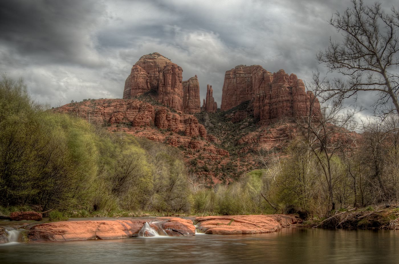 Plate CCXLI
Cathedral Rock
hillsOak Creek, Sedona, Arizona
Spires the creek was asked to look up at.
34.8° N · 111.8° WOpen plate →
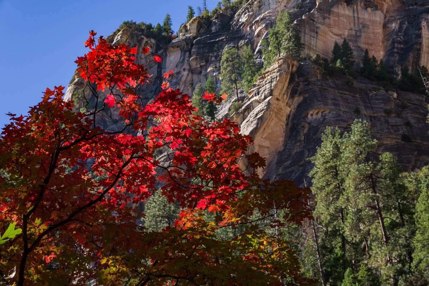 Plate CCXLII
Oak Creek Canyon
forestWest Fork, Coconino National Forest, Arizona
A gold corridor the creek kept under stone.
35.0° N · 111.7° WOpen plate →
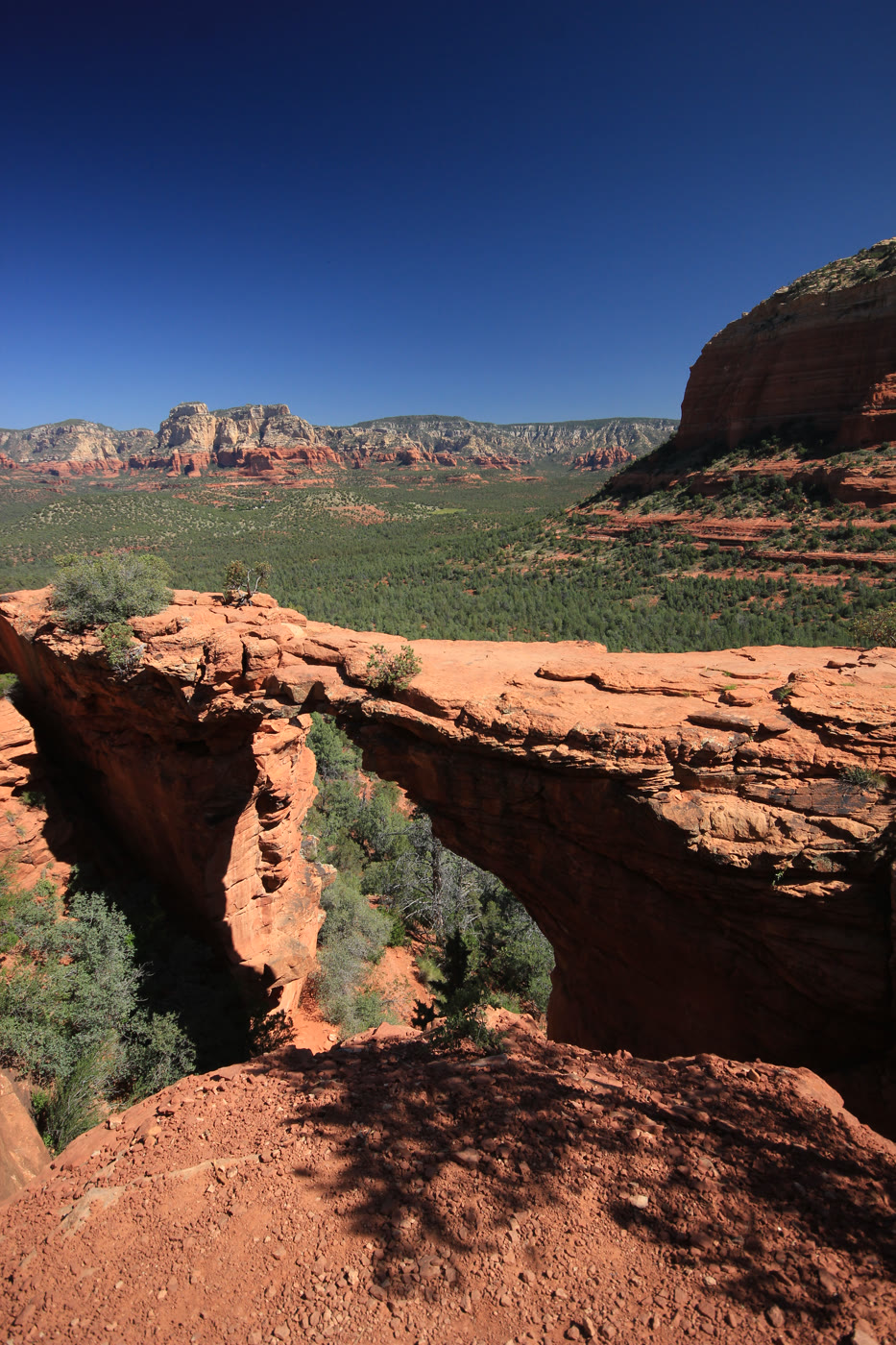 Plate CCXLIII
Devil's Bridge
canyonCoconino National Forest, Sedona, Arizona
A bridge the hollow left standing.
34.9° N · 111.8° WOpen plate →
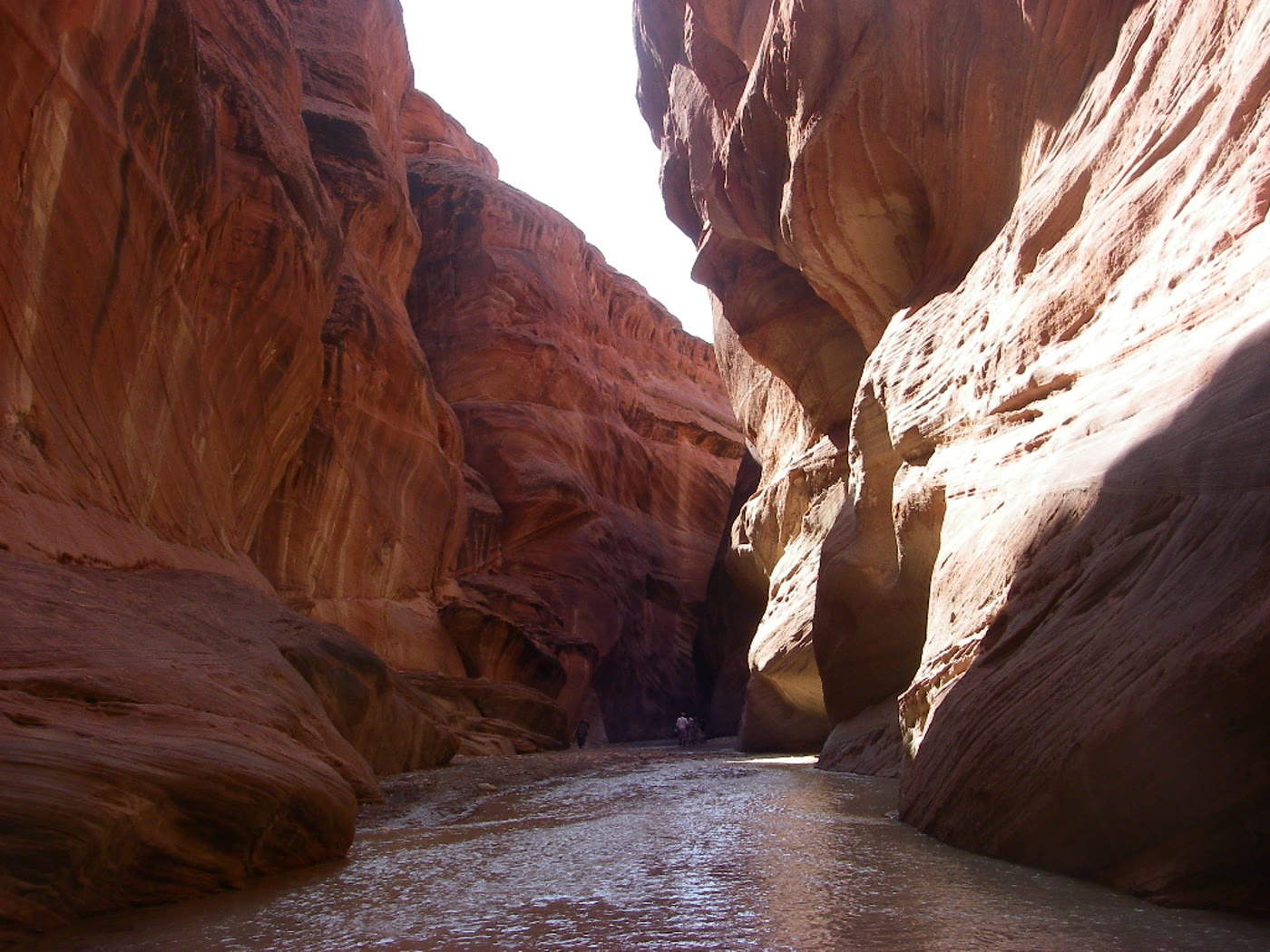 Plate CCXLIV
Paria Canyon
canyonArizona–Utah corridor, Arizona
A river that kept both states for a hallway.
36.9° N · 111.7° WOpen plate →
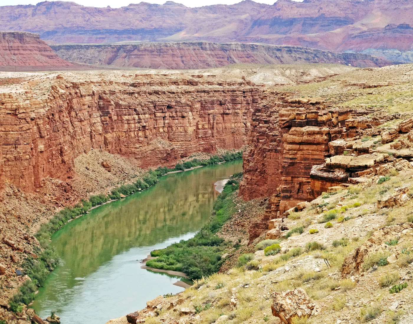 Plate CCXLV
Marble Canyon
canyonColorado River, Arizona
A marble-named trench the river kept narrow.
36.8° N · 111.6° WOpen plate →
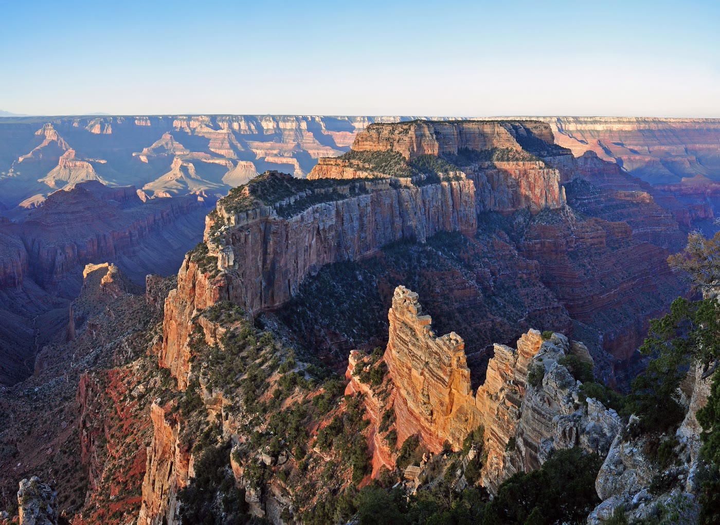 Plate CCXLVI
Cape Royal
canyonNorth Rim, Grand Canyon, Arizona
The North Rim’s long look into the eastern gorge.
36.1° N · 111.9° WOpen plate →
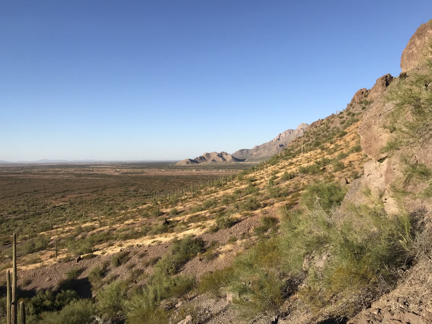 Plate CCXLVII
Picacho Peak
hillsPicacho Peak State Park, Arizona
A peak the basin raised like a warning.
32.6° N · 111.4° WOpen plate →
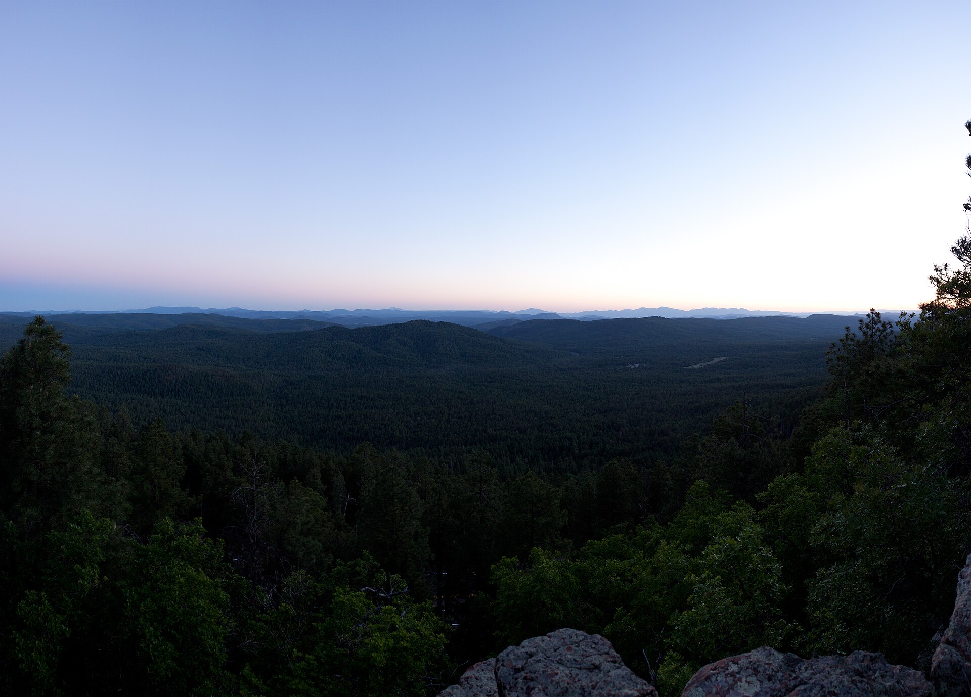 Plate CCCLI
Mogollon Rim
hillsWoods Canyon overlook, Apache-Sitgreaves, Arizona
Where the Colorado Plateau ends.
34.3° N · 110.9° WOpen plate →