State chapter
Wild places in Montana
Montana has 10 plates in this atlas, on hills, canyon, alpine, and forest ground.
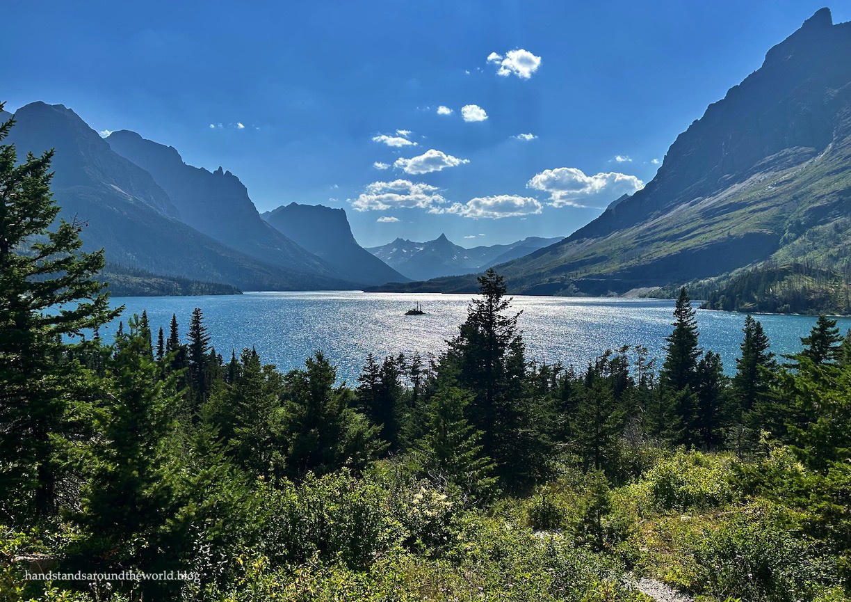
FrontispieceGlacier Country, Montana
- Plates
- 10
- Terrains
- Hills, Canyon, Alpine, Forest
Montana
The plates
Plate XVIIGlacier Country
alpineGlacier National Park, Montana
A range still wearing the shape of its vanished ice.
48.8° N · 113.8° WOpen plate →
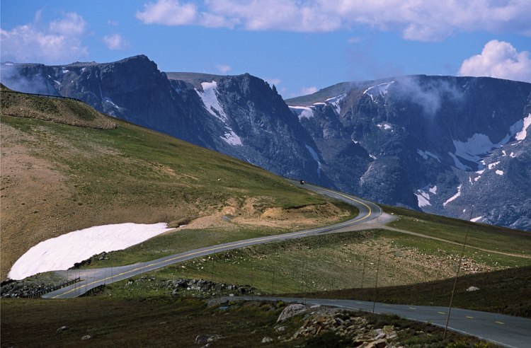 Plate LXXII
Beartooth Pass
alpineBeartooth Highway, Absaroka–Beartooth, Montana / Wyoming
A road that climbs until the trees give up.
45.0° N · 109.5° WOpen plate →
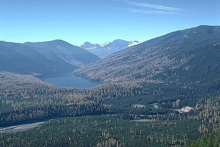 Plate LXXXIII
The Bob
forestBob Marshall Wilderness, Flathead National Forest, Montana
A forest big enough to lose a mountain range inside.
47.6° N · 113.4° WOpen plate →
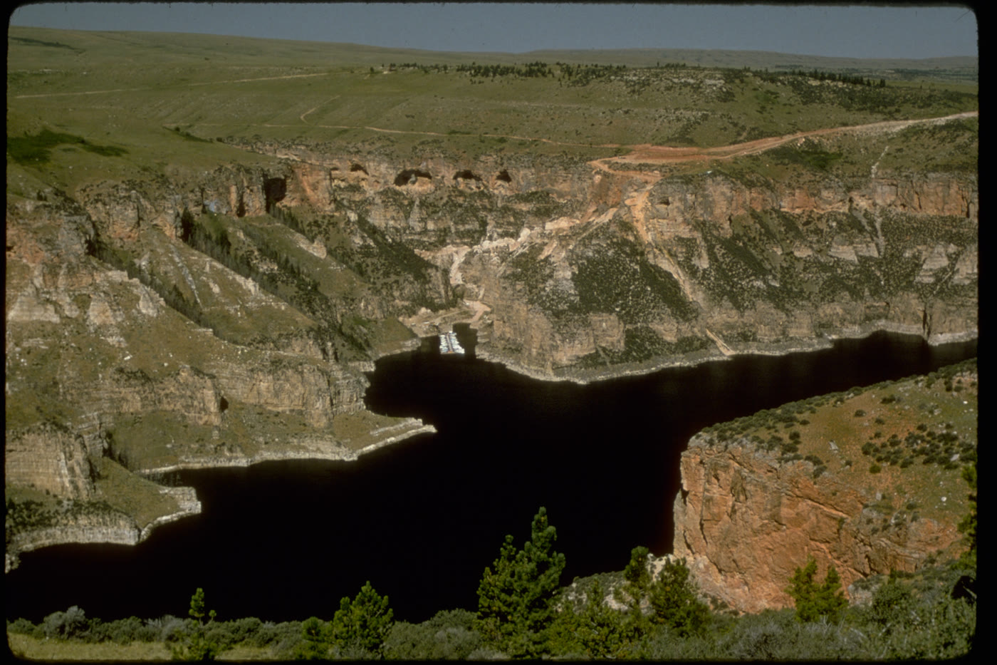 Plate CLX
Bighorn Canyon
canyonBighorn Canyon National Recreation Area, Wyoming / Montana
A canyon the river kept, then a lake filled.
45.0° N · 108.3° WOpen plate →
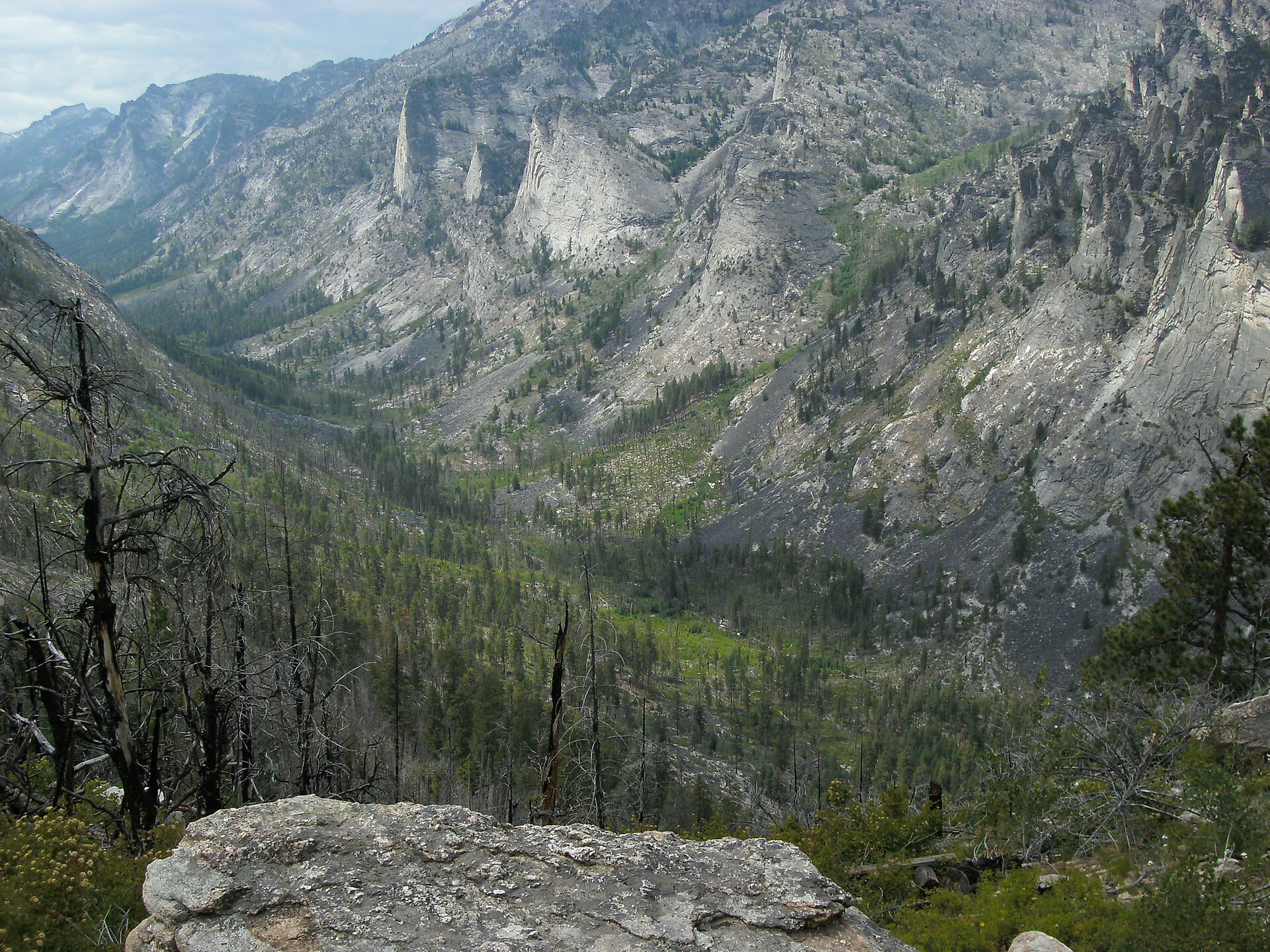 Plate CCLXXXVII
Blodgett Canyon
canyonBitterroot National Forest, Ravalli County, Montana
A granite canyon the Bitterroot still cuts.
46.3° N · 114.3° WOpen plate →
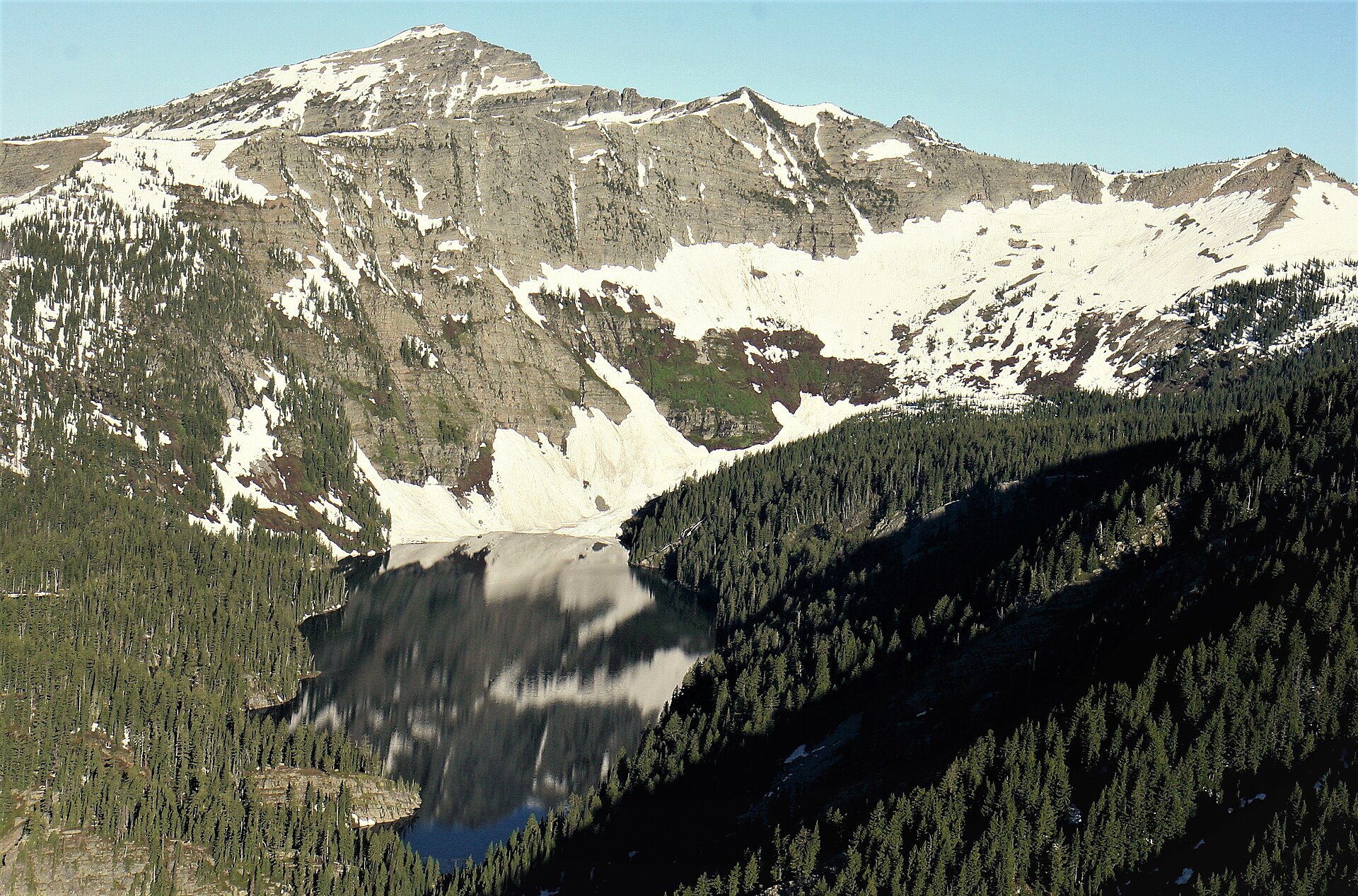 Plate CCLXXXVIII
Cabinet Mountains
alpineCabinet Mountains Wilderness, Kootenai NF, Montana
Lakes the Cabinet walls still hold.
48.2° N · 115.7° WOpen plate →
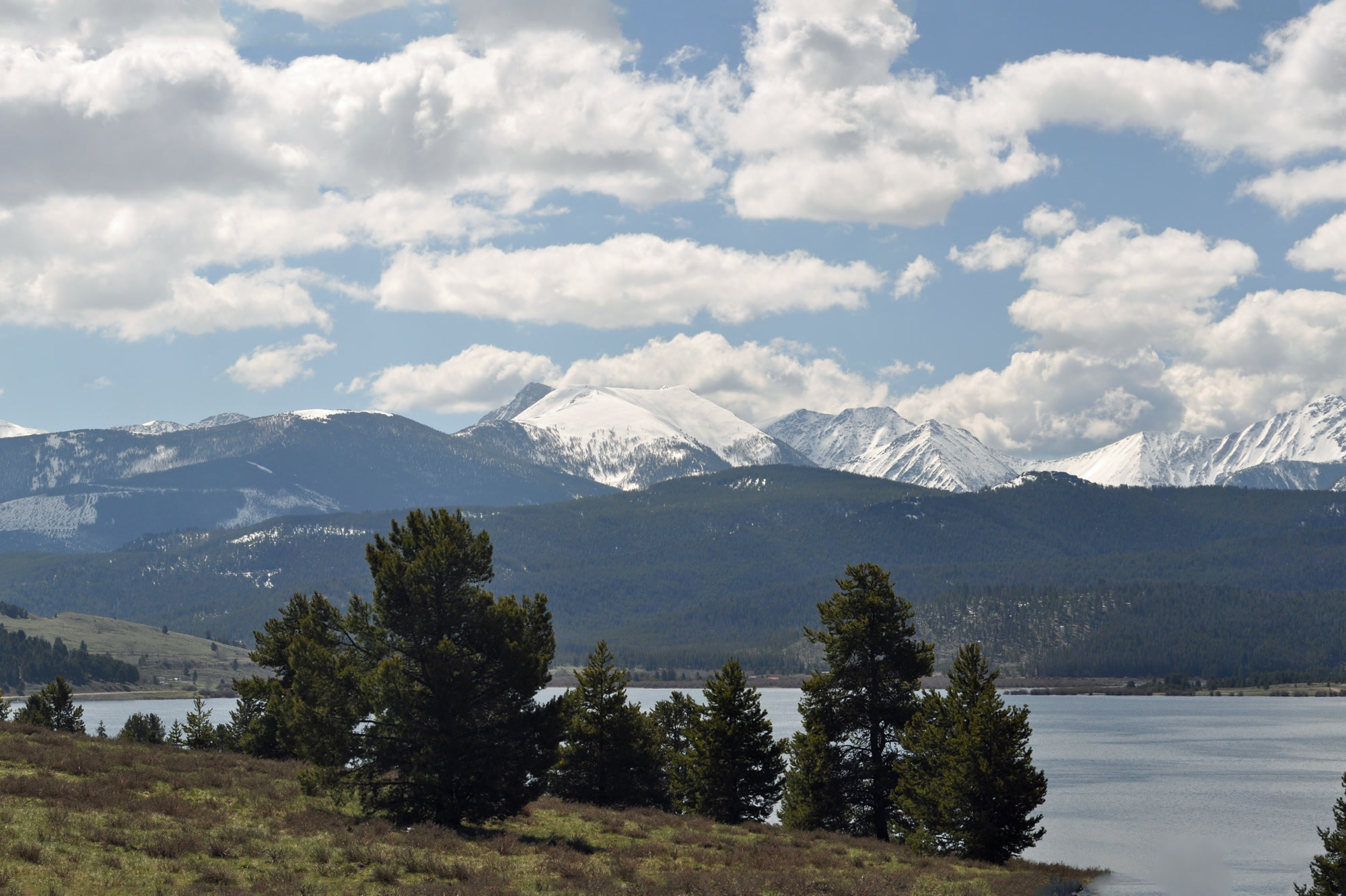 Plate CCXCI
Anaconda-Pintler
alpineAnaconda-Pintler Wilderness, Beaverhead-Deerlodge NF, Montana
A wilderness the Pintler wall still keeps.
46.0° N · 113.4° WOpen plate →
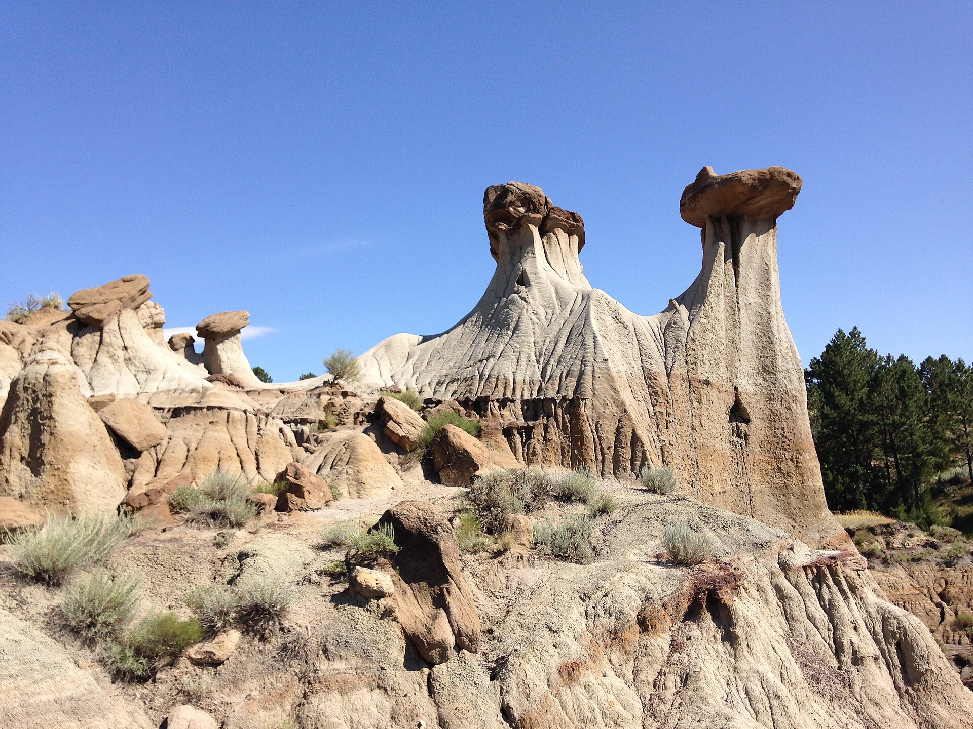 Plate CCCII
Makoshika
hillsHell Creek badlands, east of Glendive, Montana
Pale hoodoos over sage and a hard Montana sky.
47.1° N · 104.7° WOpen plate →
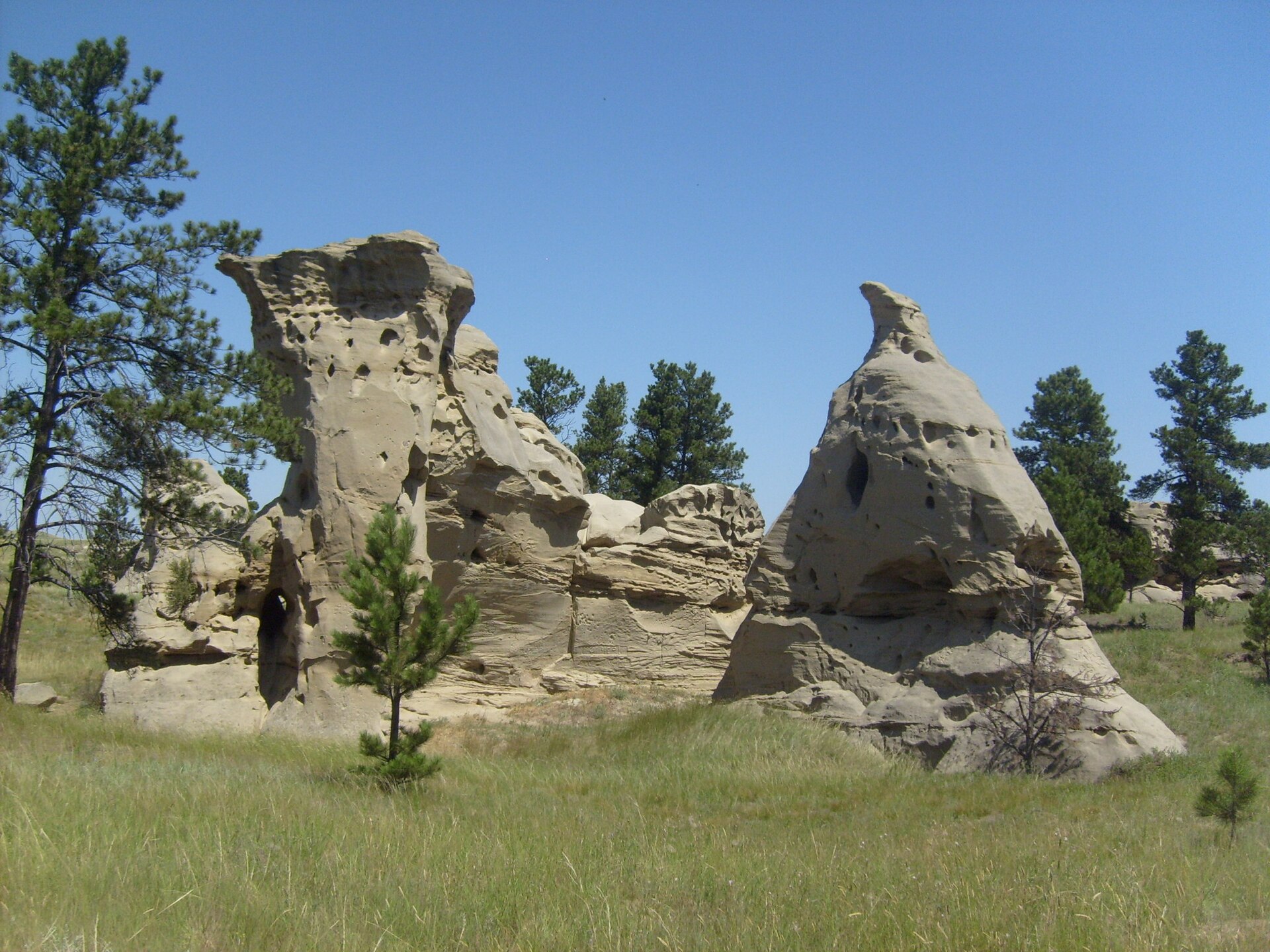 Plate CCCIII
Medicine Rocks
hillsMedicine Rocks State Park, near Ekalaka, Montana
Honeycombed sandstone rising from shortgrass.
46.0° N · 104.4° WOpen plate →
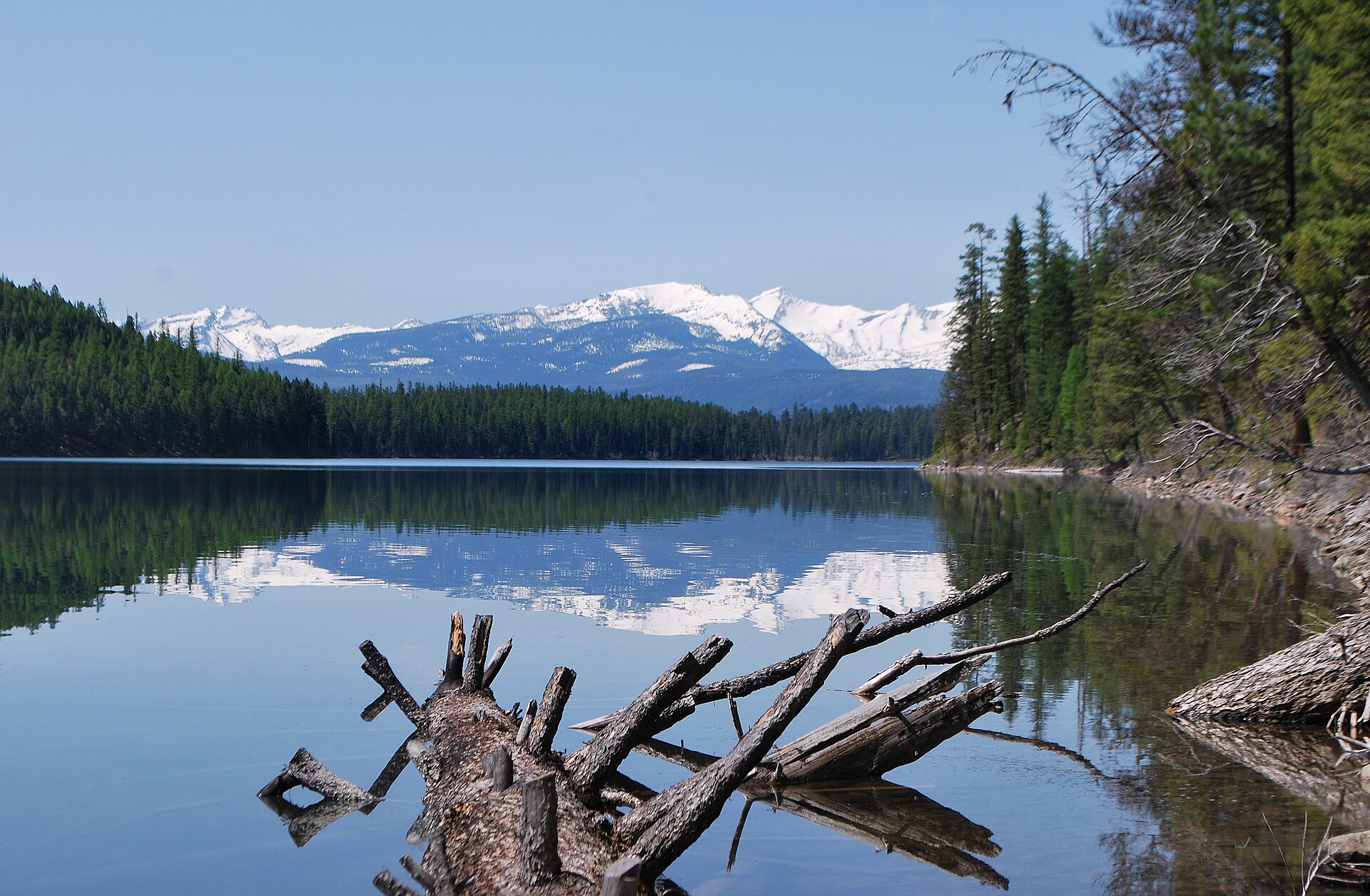 Plate CCCLIV
Holland Lake
alpineSwan Range, Flathead National Forest, Montana
A Forest Service lake under the Swan crest.
47.5° N · 113.6° WOpen plate →