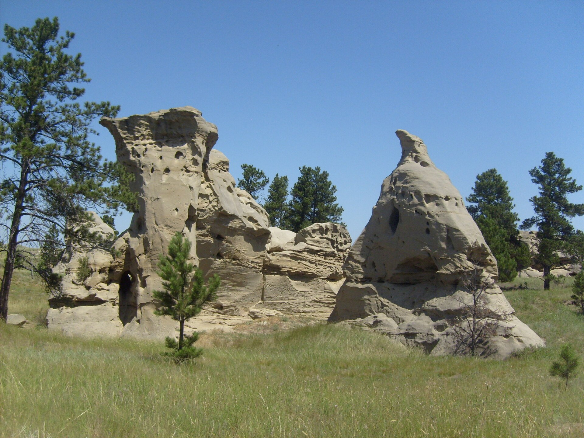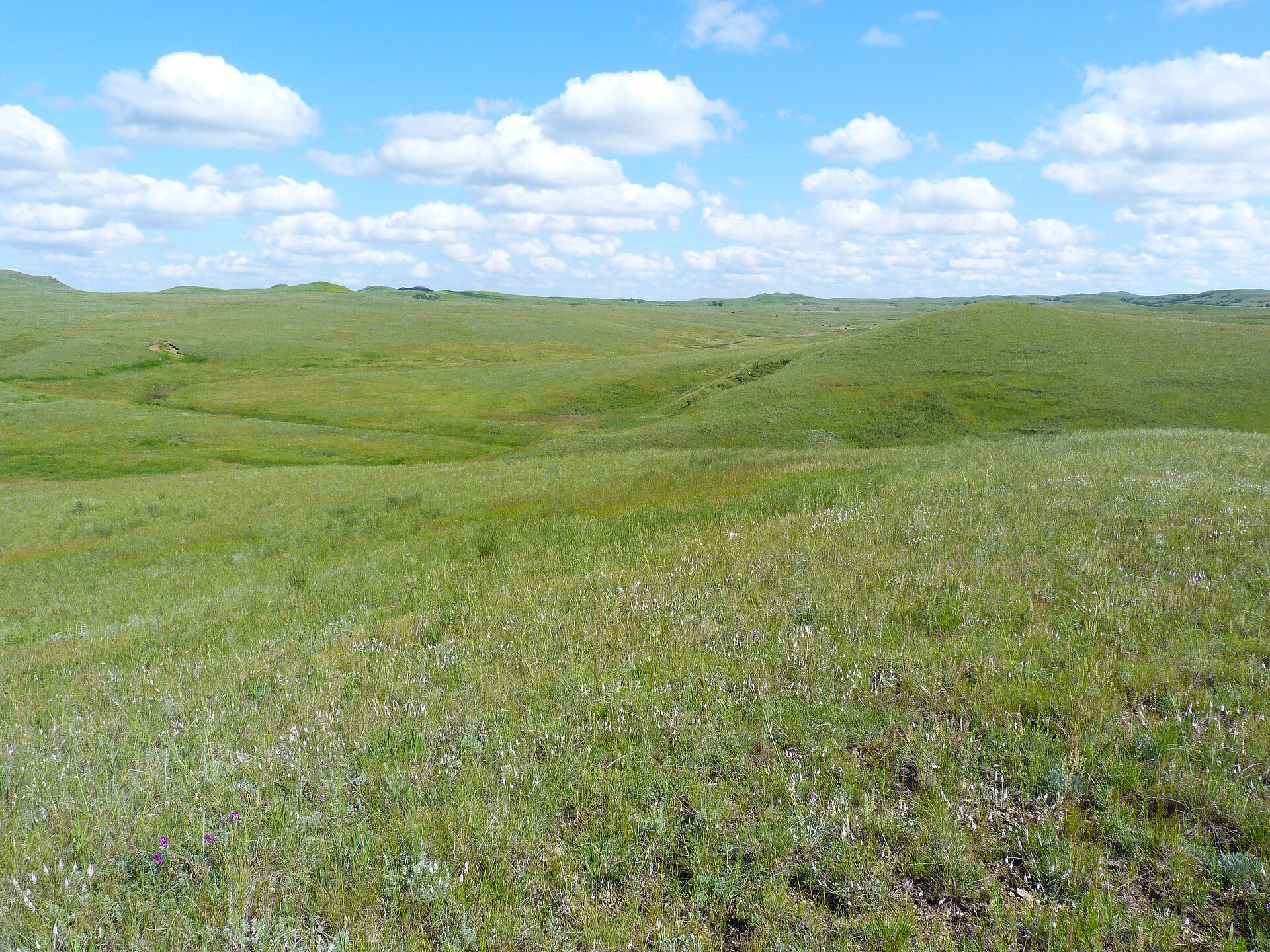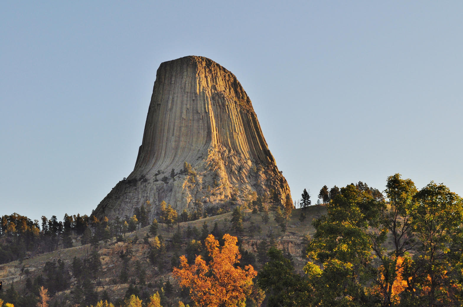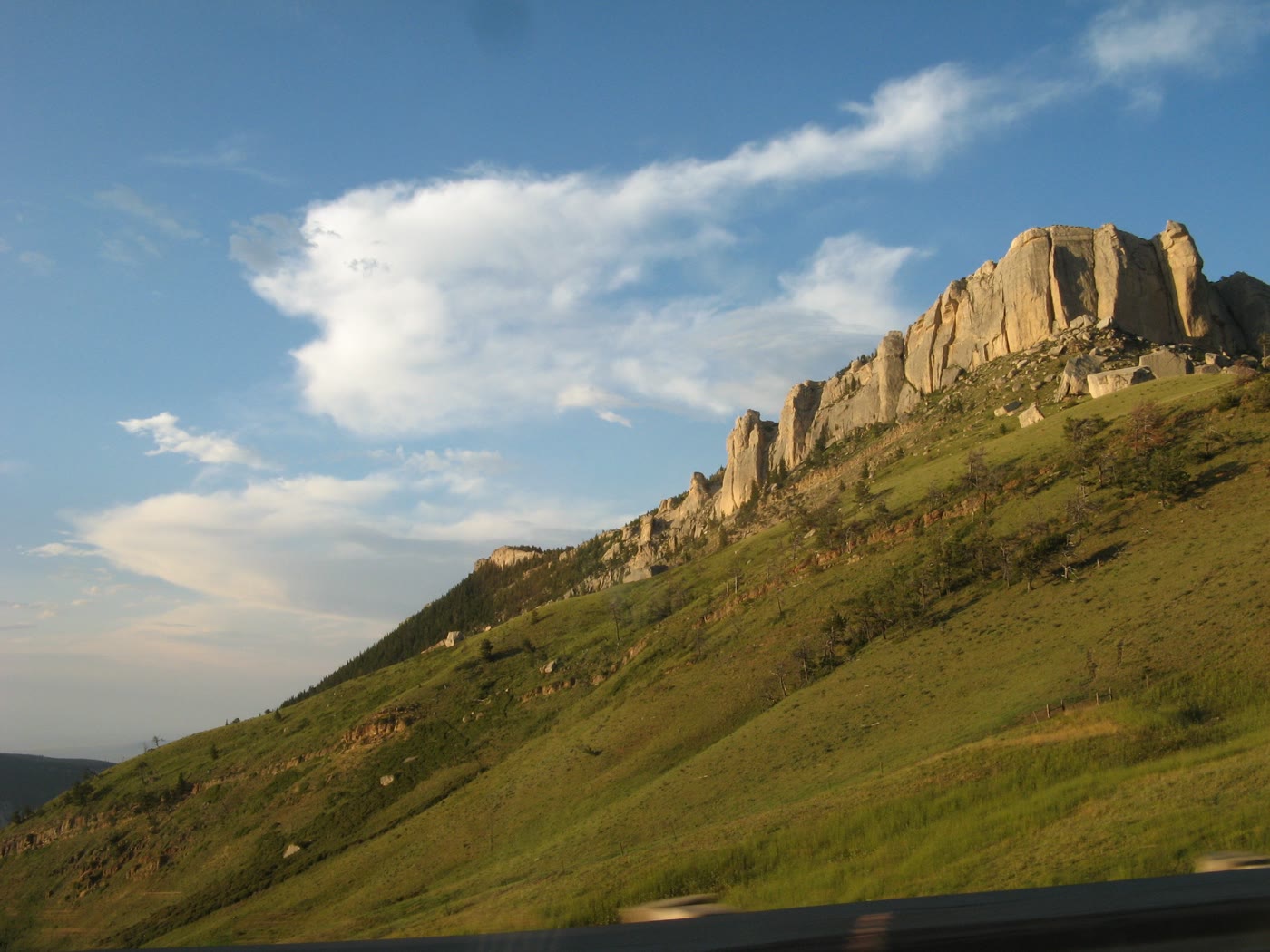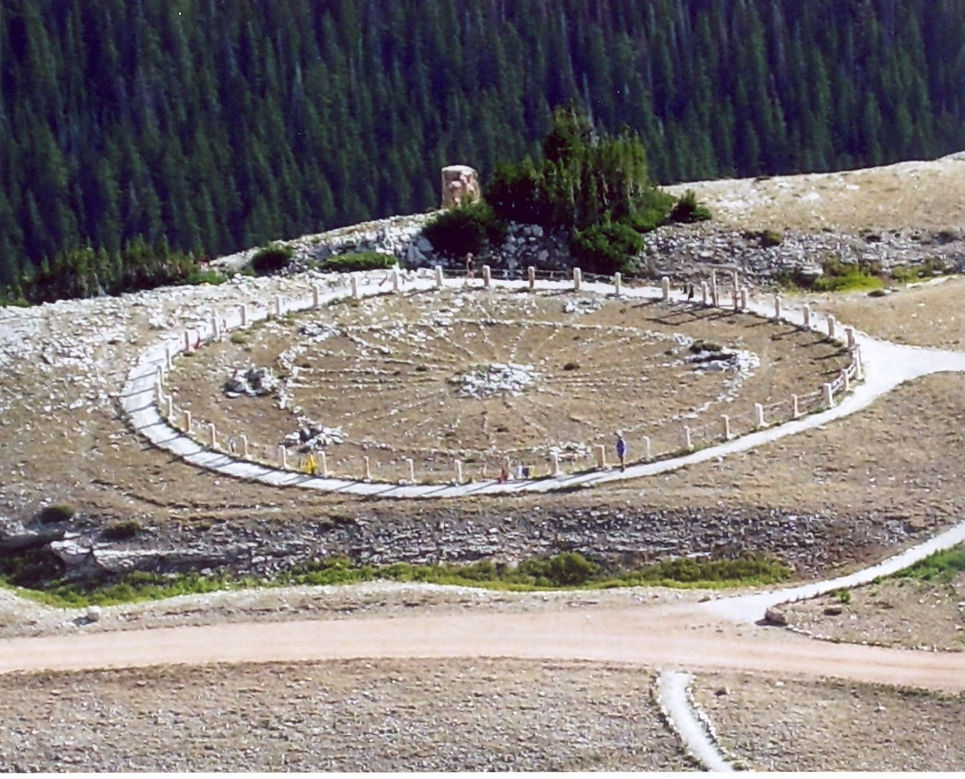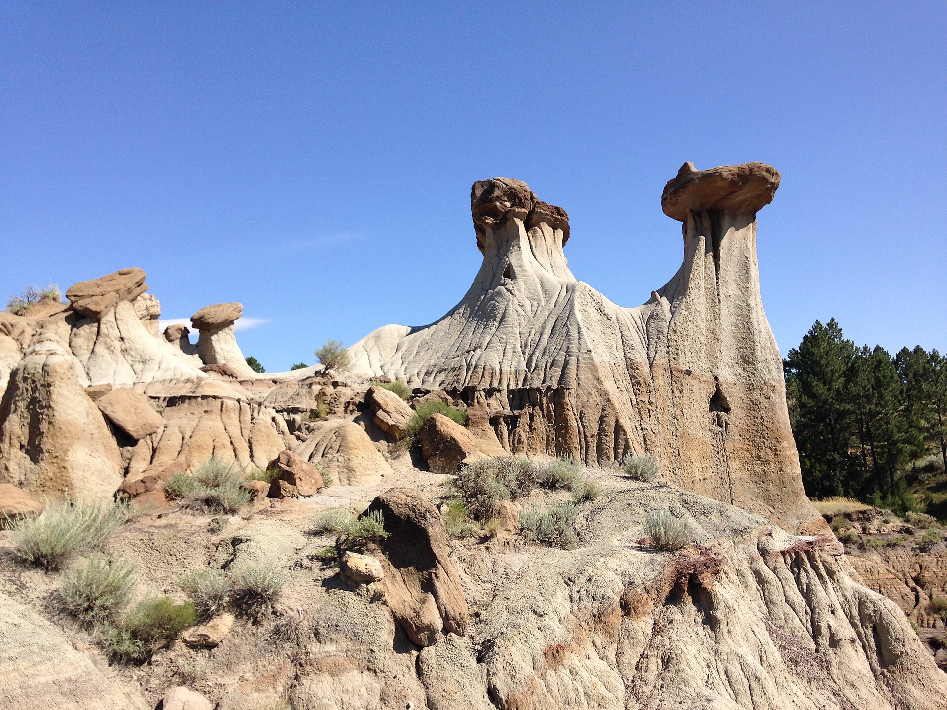
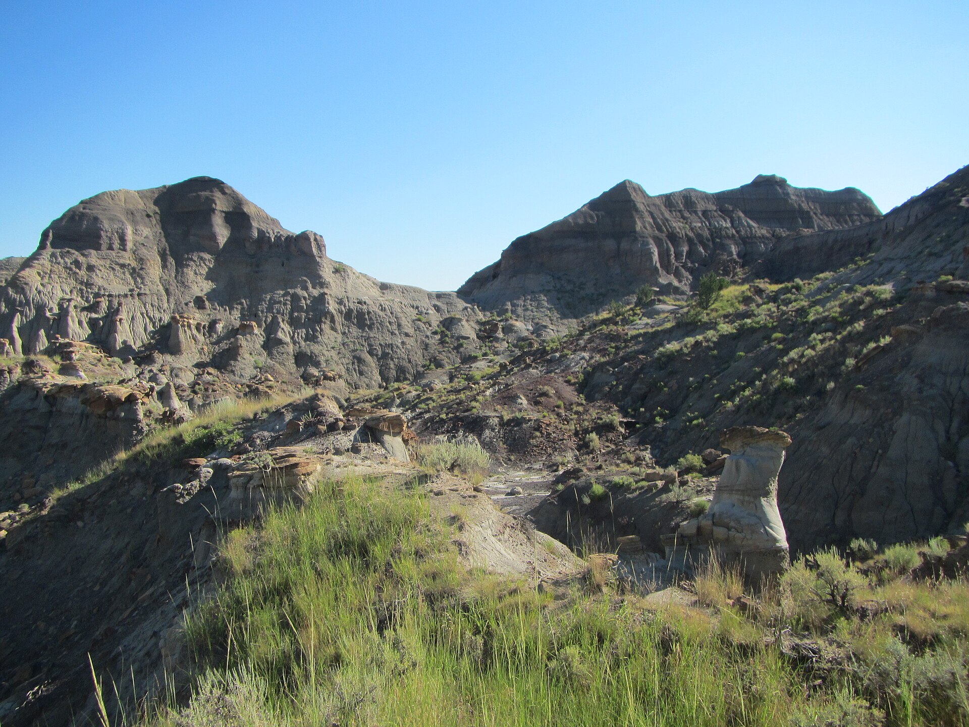
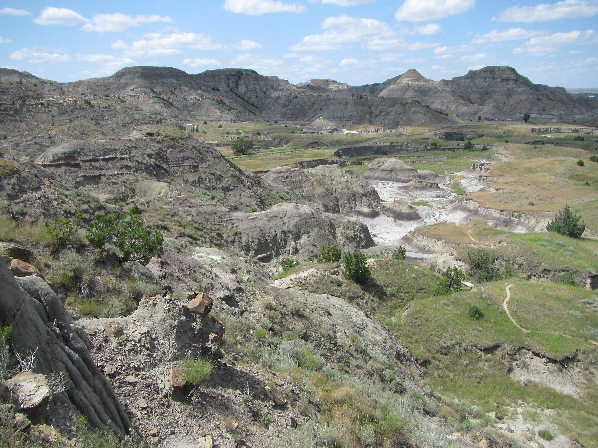
Fig. 1Pale hoodoos under a hard Montana sky, Makoshika State Park
Landform
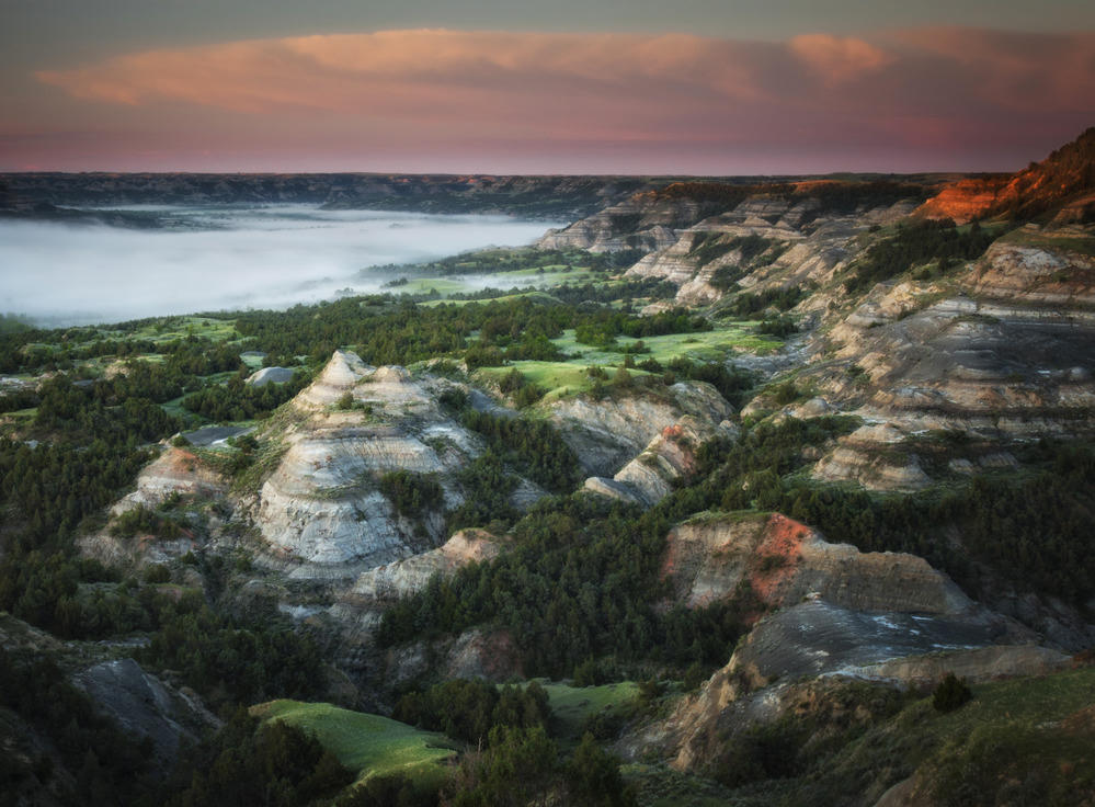
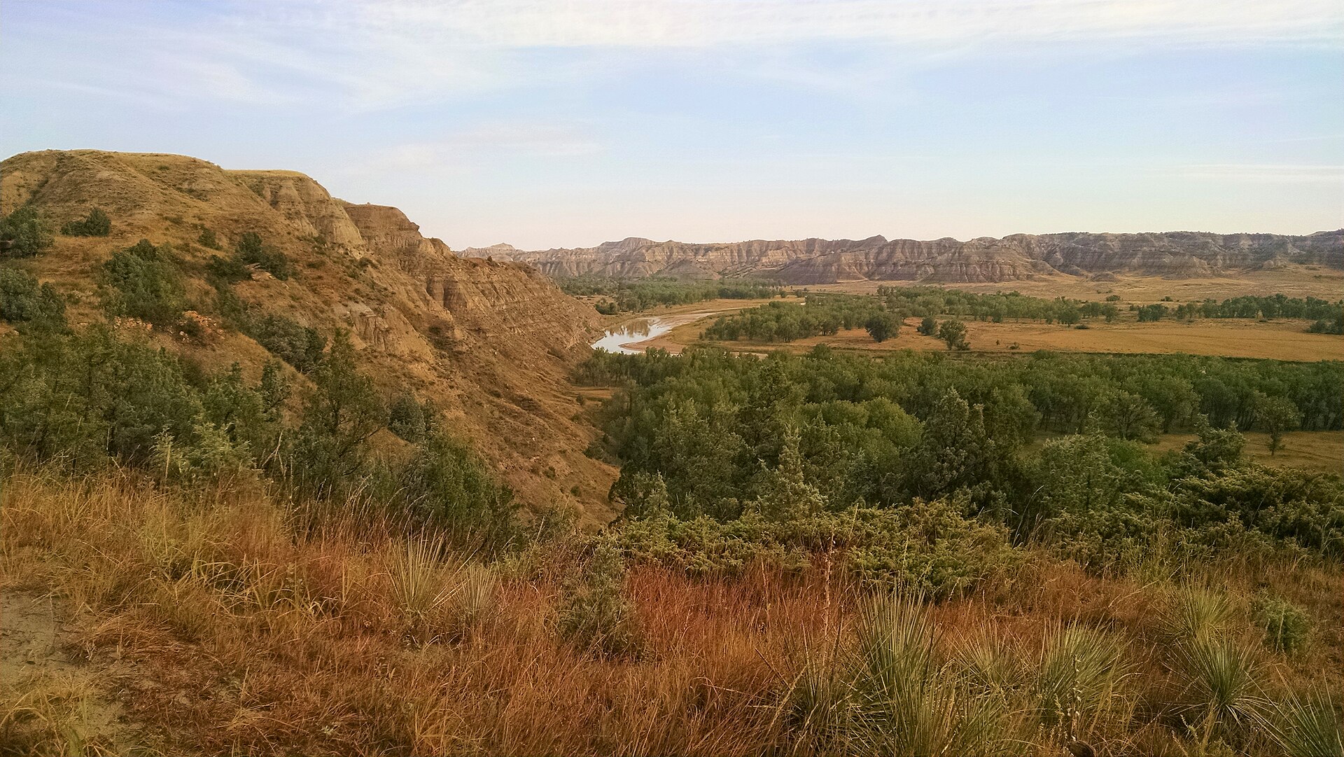
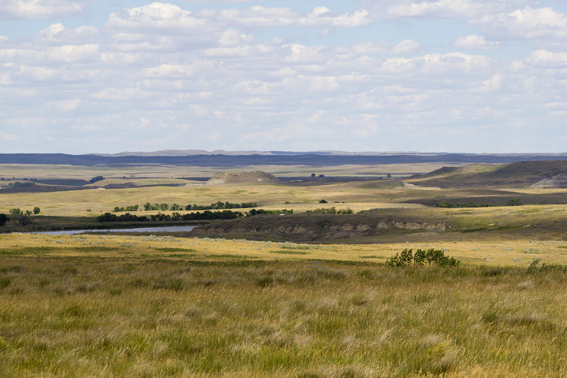
Montana’s largest state park — pale Hell Creek hoodoos, caprock tables, and pine in the draws east of Glendive.
Field note
Twin Sisters and the pale hoodoos stand over pine and sage. Glendive is the town. This plate is Makoshika State Park, not Theodore Roosevelt National Park and not the South Dakota Badlands Loop.
Makoshika is Montana’s largest state park — pale Hell Creek hoodoos and caprock tables east of Glendive. Twin Sisters stand over pine and sage. This plate is the Montana badland, not Theodore Roosevelt National Park and not the South Dakota Loop.