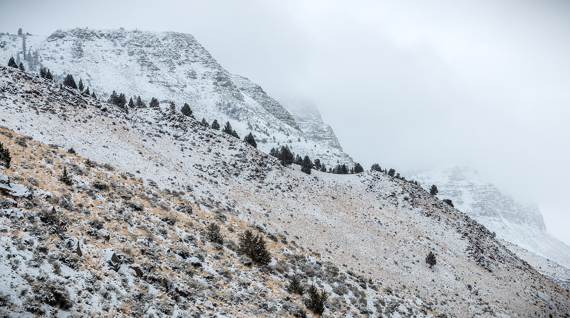
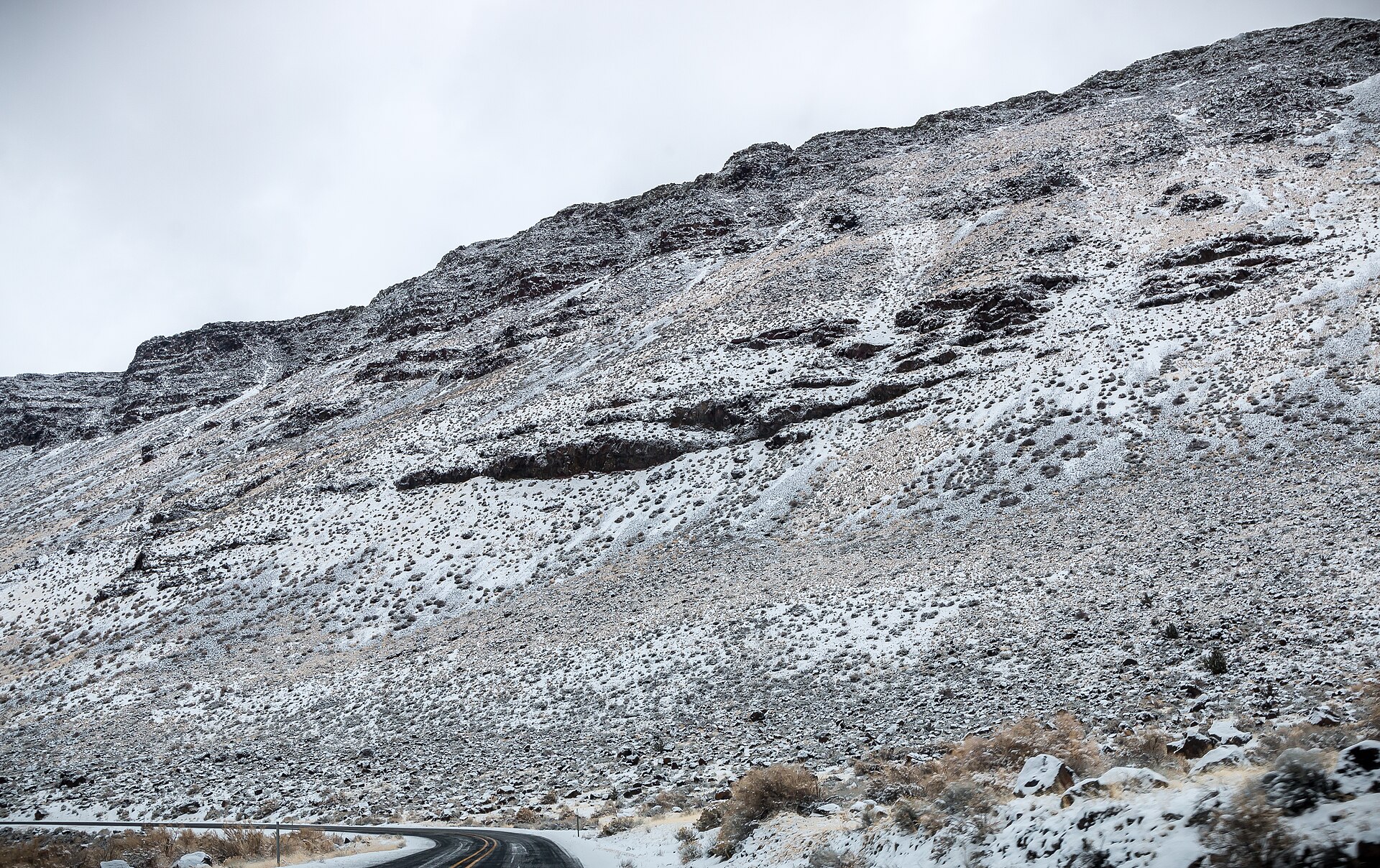
Fig. 1The basalt face of Abert Rim above the sage
Landform
A basalt fault scarp thirty miles long, rising 2,490 feet above Lake Abert
Field note
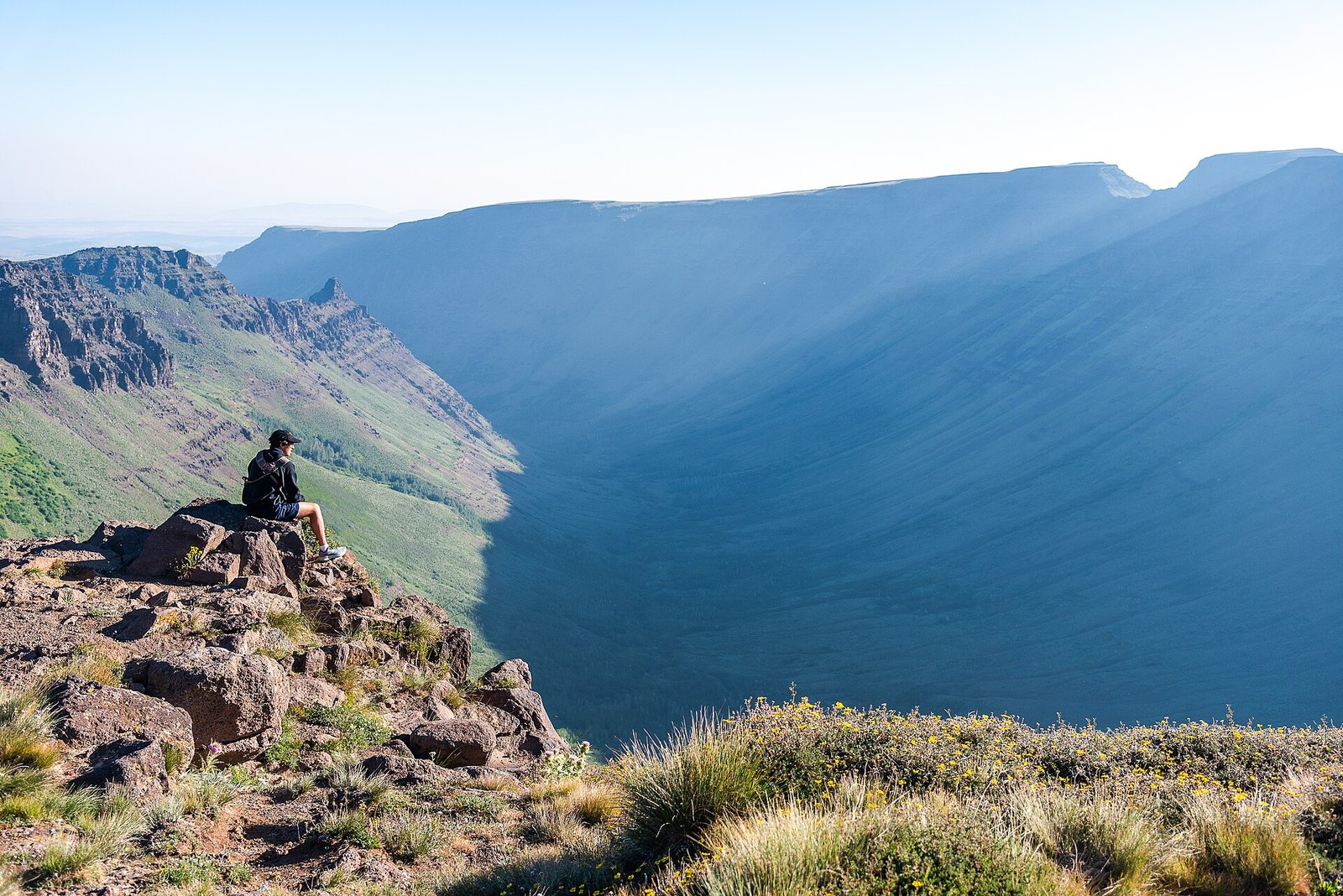
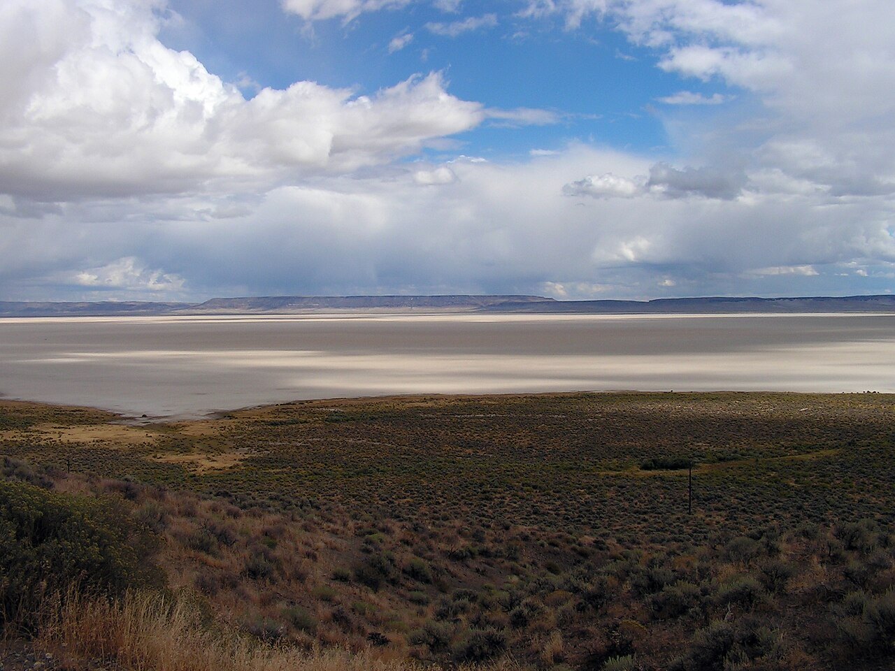
Abert Rim runs more than thirty miles in Lake County, a fault scarp rising 2,490 feet above the valley, with an 820-foot basalt cap. Lake Abert, below, has no outlet. Highway 395 is the approach. Kiger Gorge and the Alvord keep the Steens plates. Great Basin National Park is the Snake Range. This plate is Abert Rim.
Abert Rim is the long fault scarp over Lake Abert, along Highway 395. The face is basalt. This plate is that rim, not Kiger Gorge and not the Alvord.