The Field Atlas
0/363Hill country
Hills destinations in the USA
Hills are the American middle distance: not alpine, not flat.
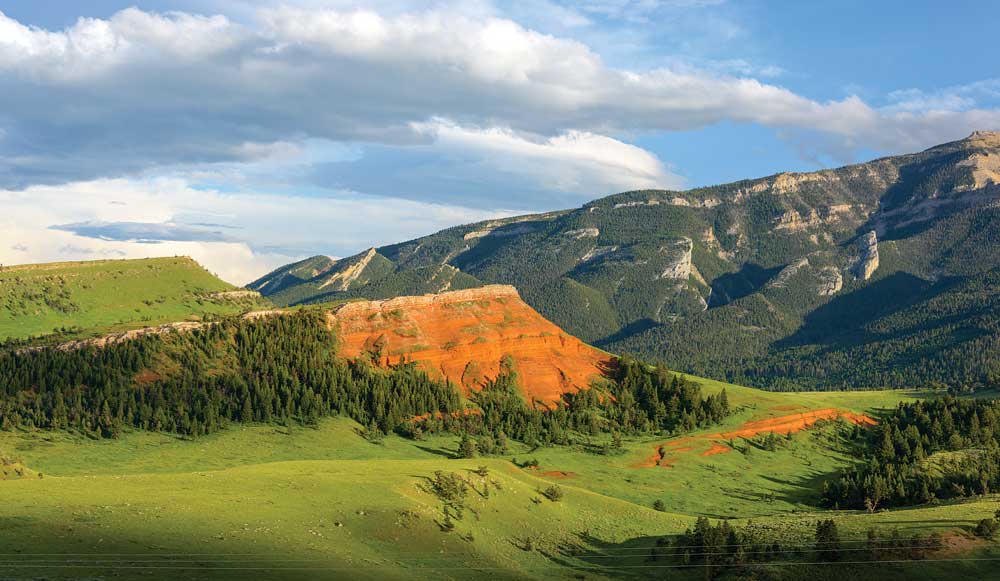
FrontispieceChief Joseph Byway, Wyoming
Ozark and Appalachian folds, including the limestone balds at Hercules Glades, prairie knobs, granite whales on the plains, Edwards Plateau hill country — Enchanted Rock, South Llano, Hueco Tanks, the Davis Mountains — and Castle Crags’ granite towers in northern California belong here. Eagle Mountain is the high rock of Superior National Forest. The Mogollon Rim near Woods Canyon Lake is the plateau edge over ponderosa. These plates collect that quieter relief — a walk with a horizon, not a summit list.
- Plates
- 47
- States
- 20
States in this chapter
- Arizona
- California
- Colorado
- Idaho
- Illinois
- Michigan
- Minnesota
- Missouri
- Montana
- New Mexico
- North Dakota
- Oklahoma
- Oregon
- South Dakota
- Texas
- Utah
- Virginia
- Washington
- West Virginia
- Wyoming
Hills chapter
The plates
Plate XCIIChief Joseph Byway
hillsPark County, Cody to the Beartooth, Wyoming
A red hill in a green park, and a mountain watching it.
44.7° N · 109.4° WOpen plate →
 Plate XV
The Palouse
hillsWashington
A country of hills that look poured, not built.
46.7° N · 117.2° WOpen plate →
 Plate XLVII
Badlands
hillsWhite River drainage, South Dakota
A prairie that has been taken apart and left in piles.
43.9° N · 102.3° WOpen plate →
 Plate LXV
The Needles, Black Hills
hillsNeedles Highway, Custer State Park, South Dakota
A granite forest the plains were not supposed to have.
43.8° N · 103.5° WOpen plate →
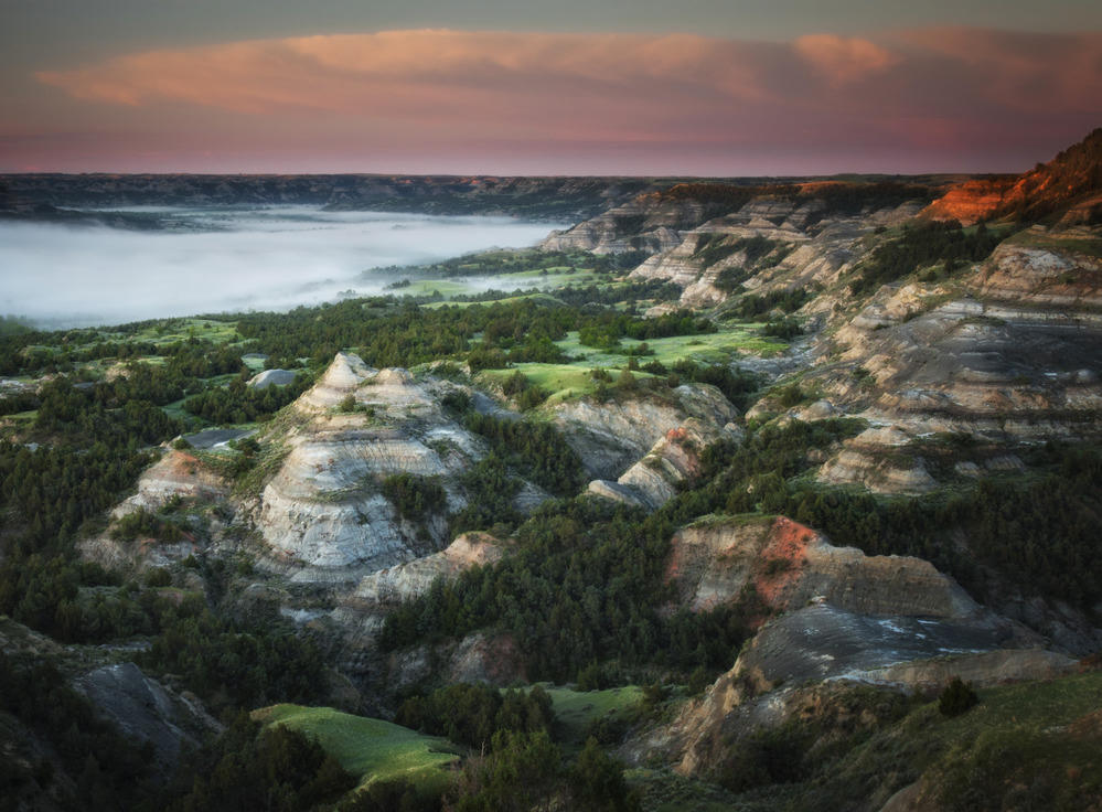 Plate LXVI
Theodore Roosevelt National Park
hillsSouth Unit near Medora; North Unit on the river, North Dakota
The national park that holds the painted river — two units, one ranch, still wearing grass.
47.0° N · 103.5° WOpen plate →
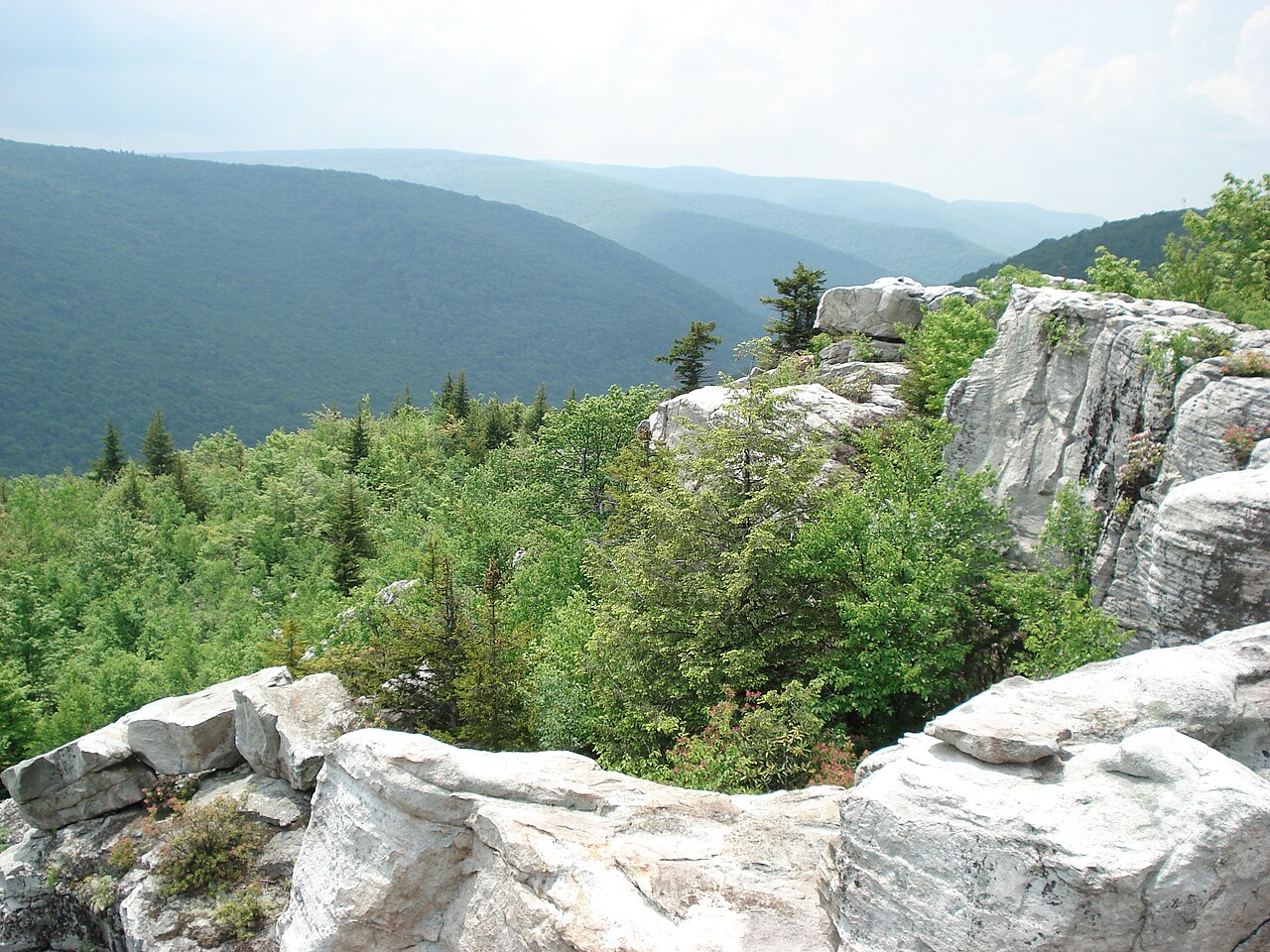 Plate LXXV
Dolly Sods
hillsAllegheny Plateau, West Virginia
A northern bog set down on a southern mountain.
39.0° N · 79.4° WOpen plate →
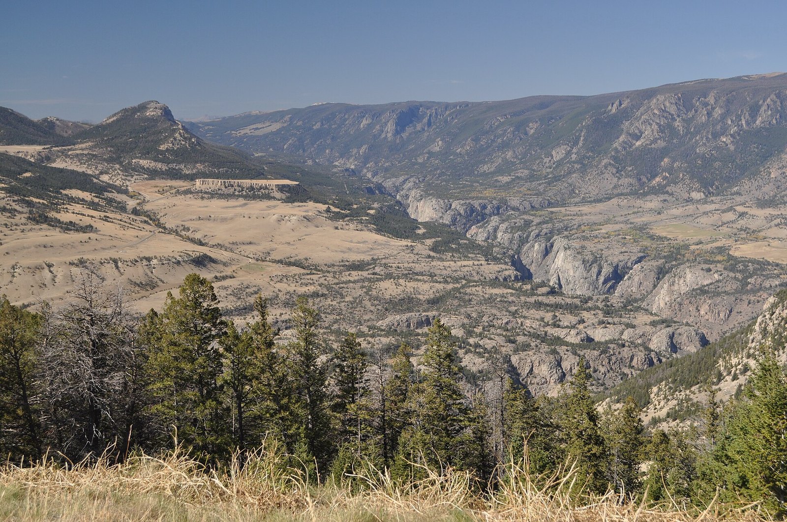 Plate XCIV
Dead Indian Pass
hillsChief Joseph Scenic Byway, Wyoming
A pass that opens the Absarokas like a door.
44.7° N · 109.4° WOpen plate →
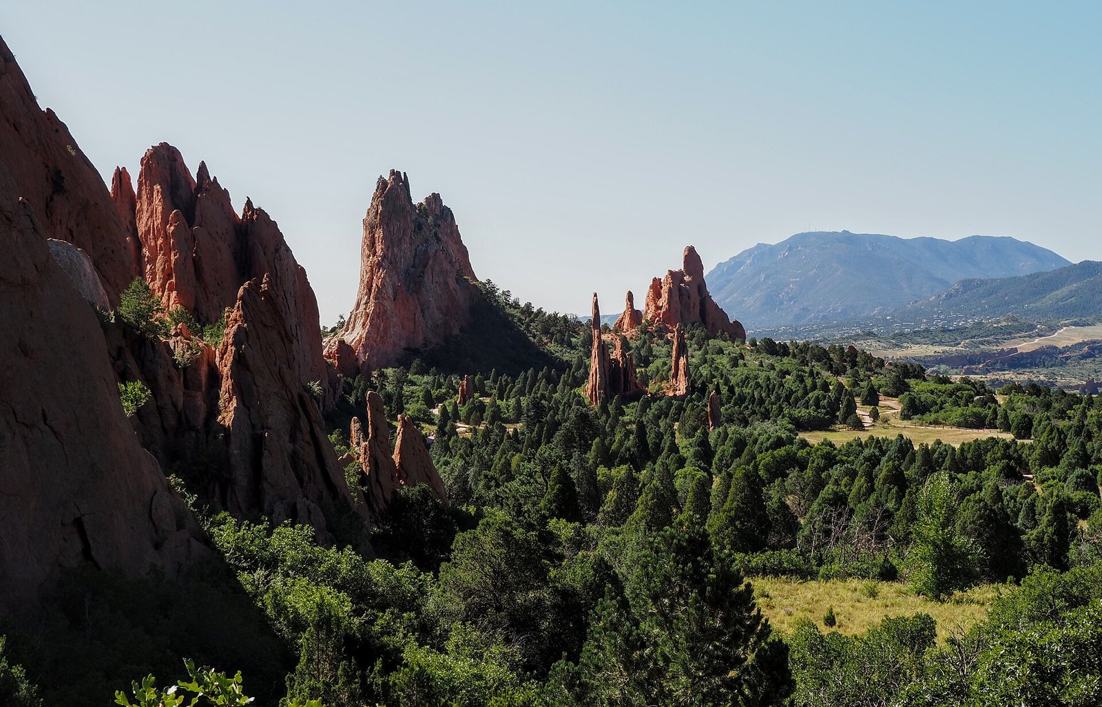 Plate XCIX
Garden of the Gods
hillsColorado Springs, Front Range, Colorado
Red towers holding a mountain in the doorway.
38.9° N · 104.9° WOpen plate →
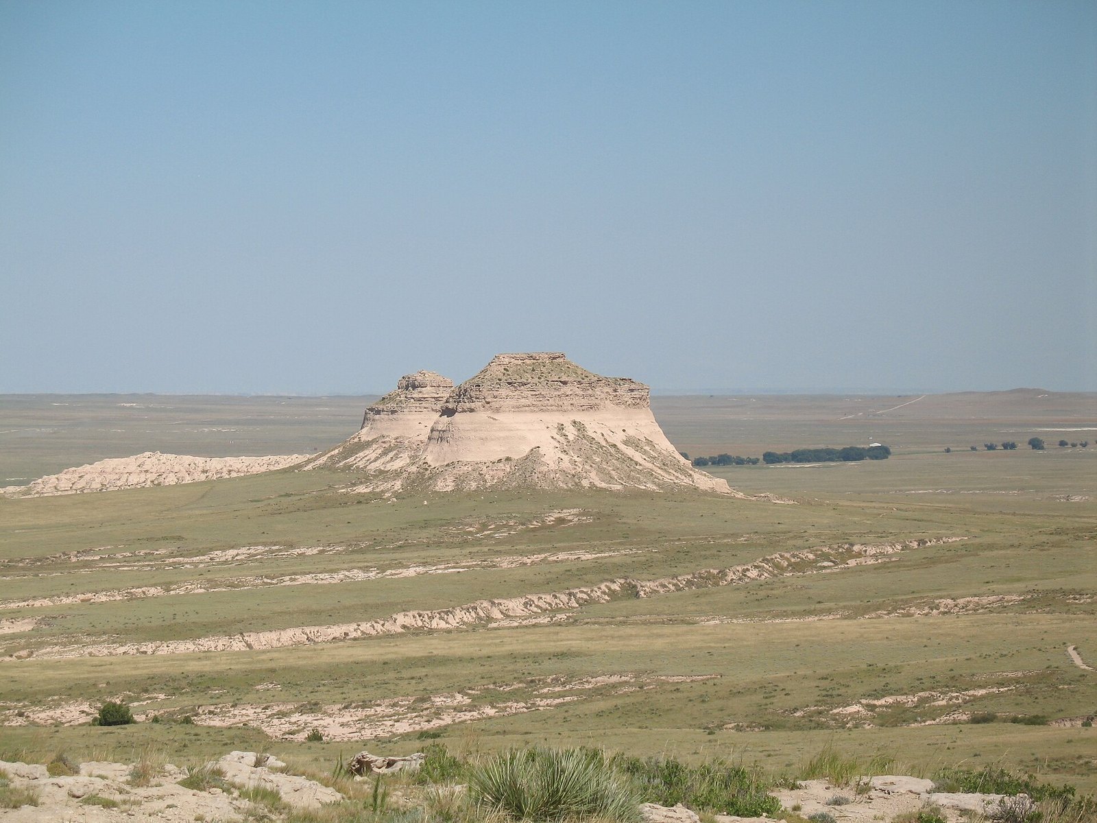 Plate CV
Pawnee Buttes
hillsPawnee National Grassland, Colorado
Two hills the plains forgot to flatten.
40.8° N · 104.0° WOpen plate →
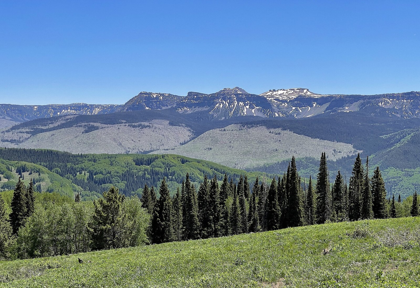 Plate CVI
Flat Tops
hillsWhite River Plateau, Colorado
Mountains that chose to be a table.
40.0° N · 107.3° WOpen plate →
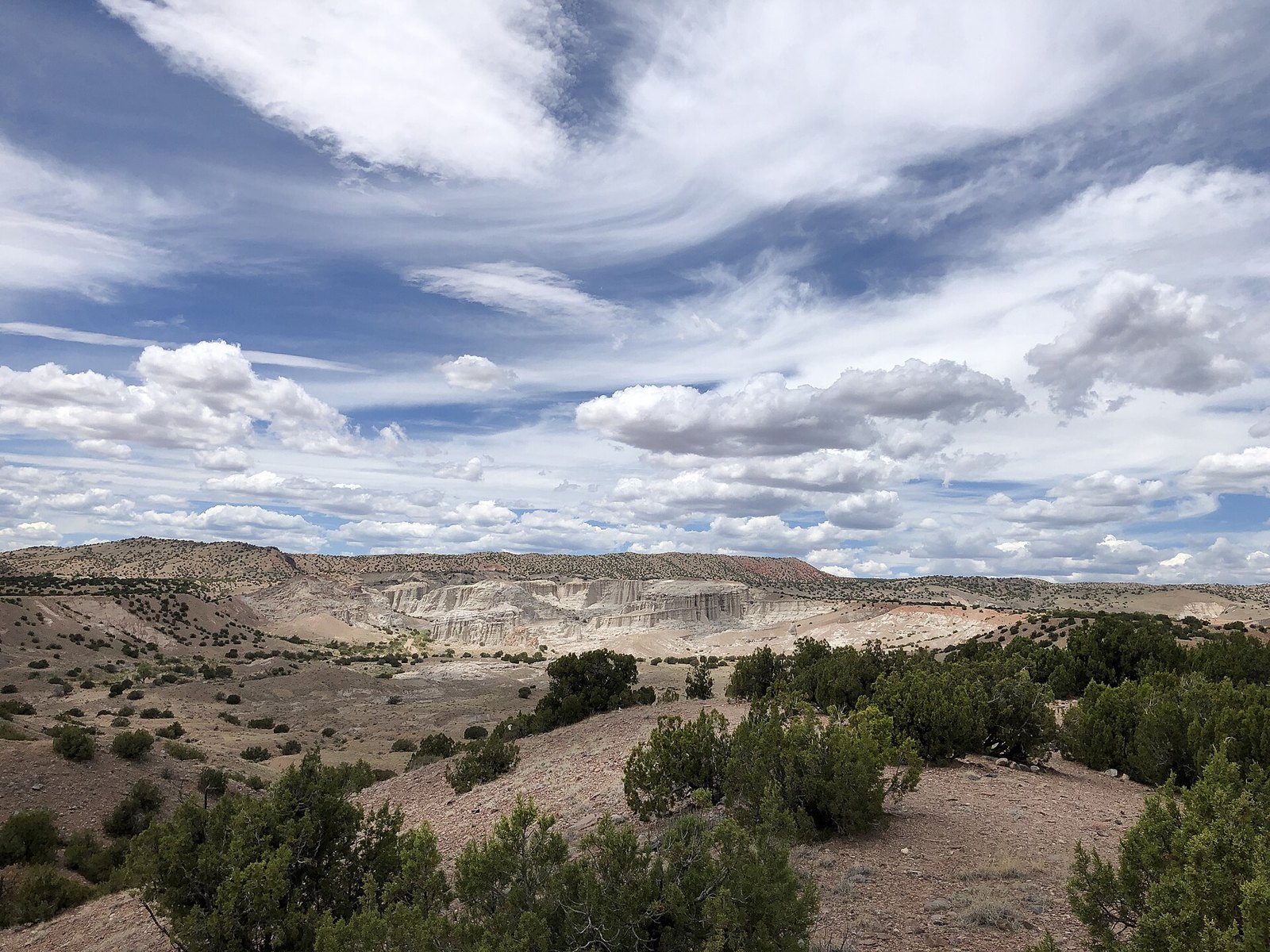 Plate CXII
Plaza Blanca
hillsoutside Abiquiu, New Mexico
A white garden the wind is still carving.
36.2° N · 106.3° WOpen plate →
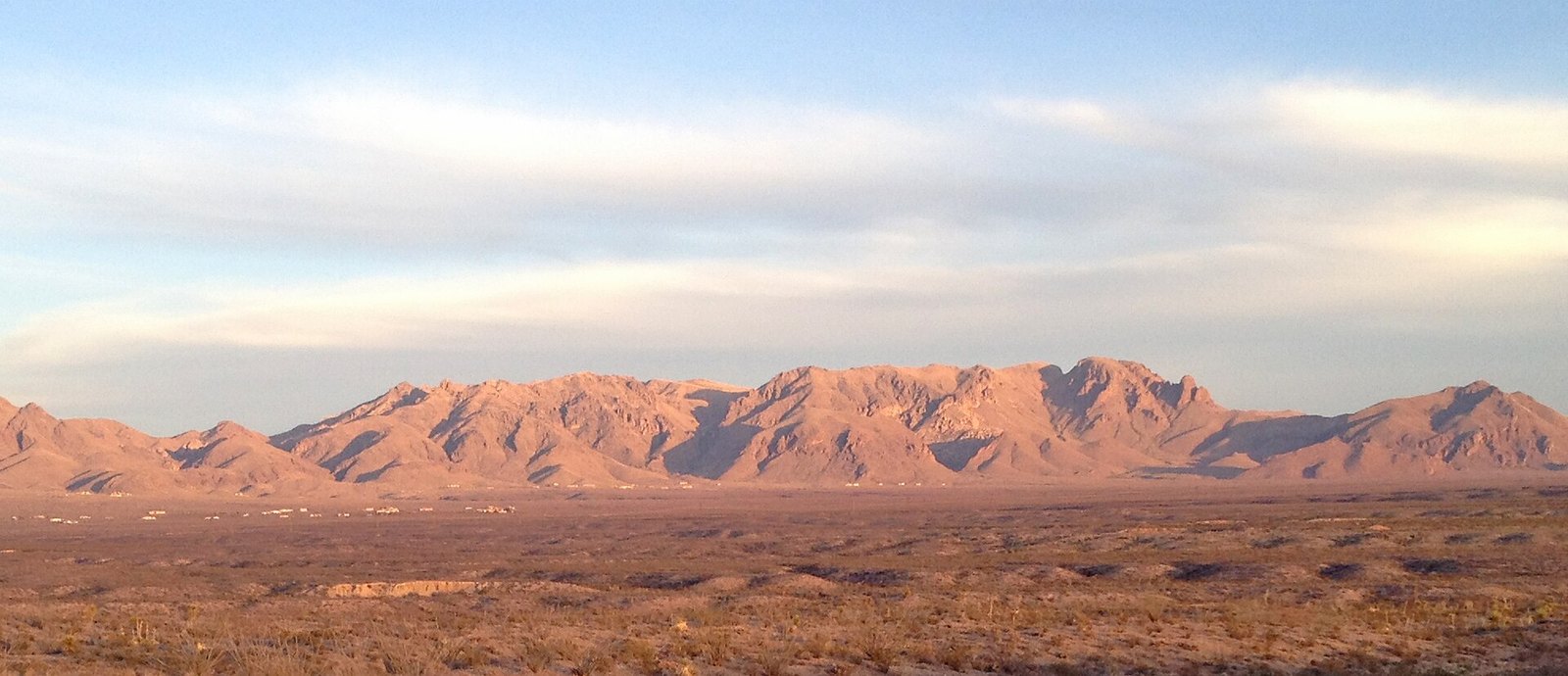 Plate CXV
Organ Mountains
hillseast of Las Cruces, New Mexico
A mountain range that learned to be a spine.
32.3° N · 106.6° WOpen plate →
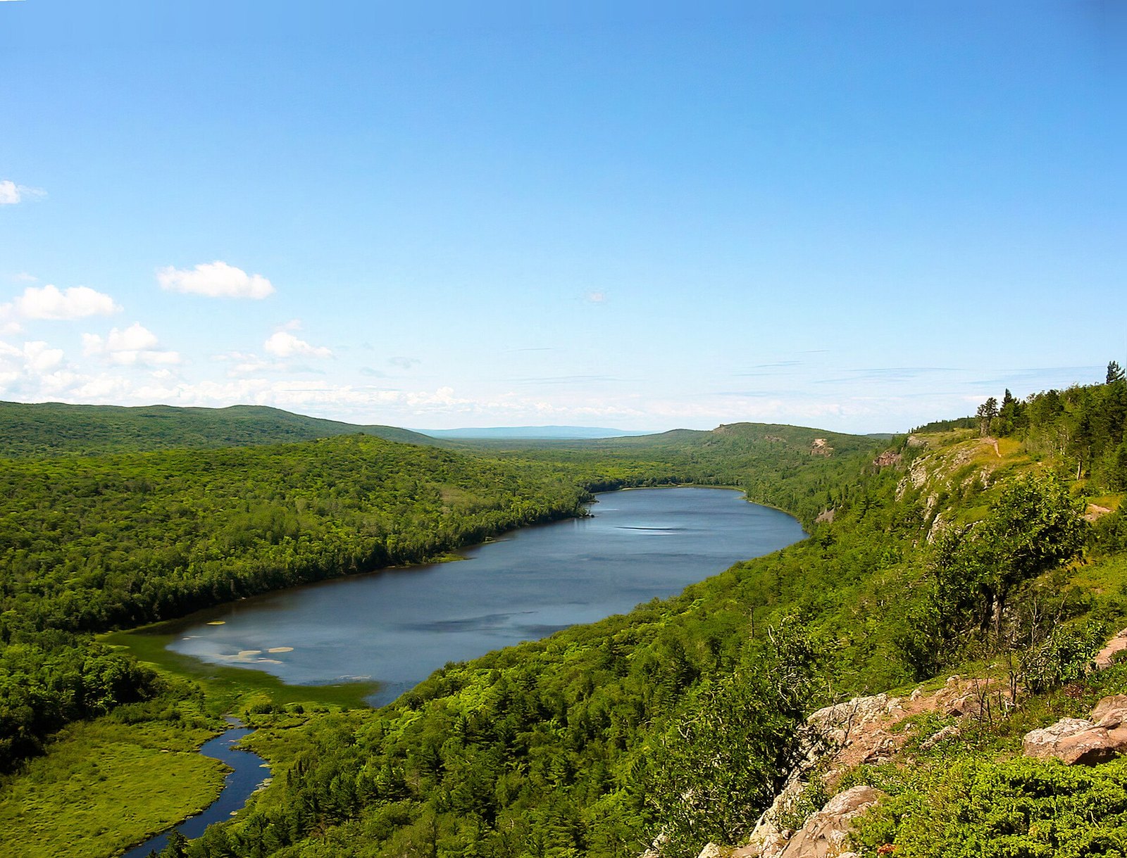 Plate CXXXIII
Lake of the Clouds
hillsPorcupine Mountains, Upper Peninsula, Michigan
A lake that sits in a notch of an old mountain.
46.8° N · 89.8° WOpen plate →
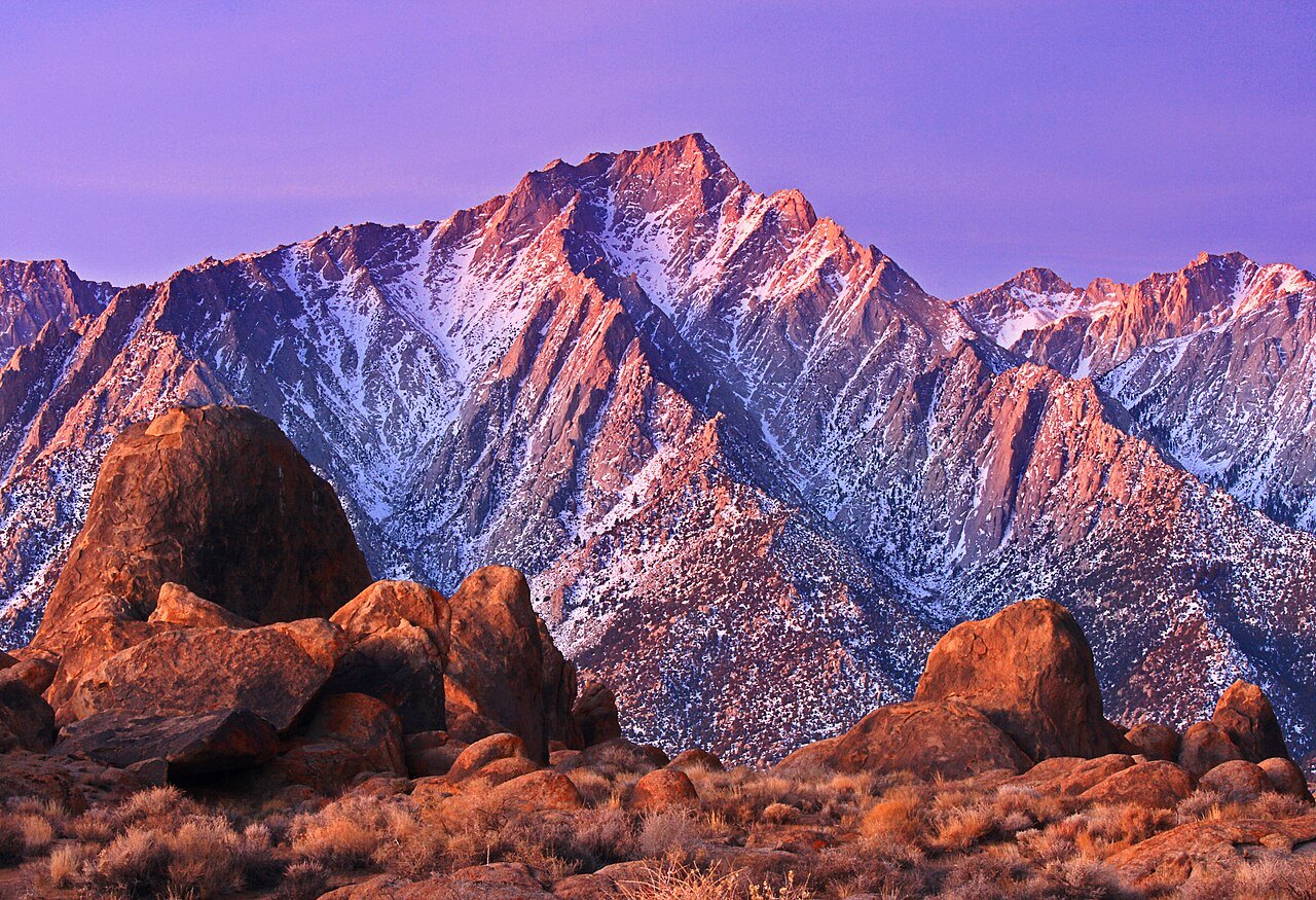 Plate CXXXV
Alabama Hills
hillsOwens Valley, below Mount Whitney, California
Granite that learned to sit still under the highest mountain.
36.6° N · 118.1° WOpen plate →
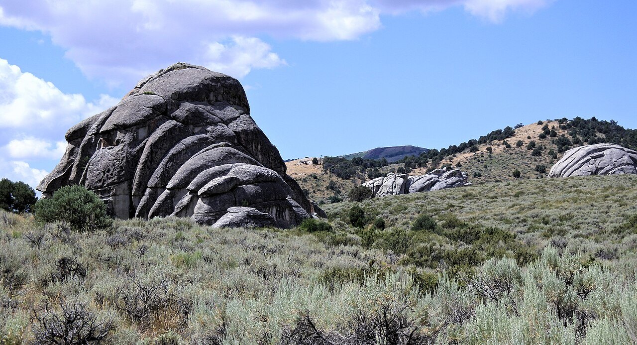 Plate CXLIX
City of Rocks
hillsAlbion Mountains, Cassia County, Idaho
A stone city the wagons named and then left.
42.1° N · 113.7° WOpen plate →
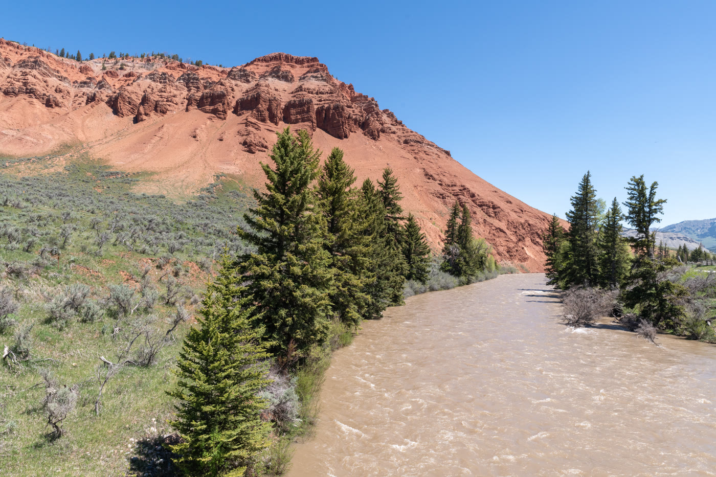 Plate CLXI
Gros Ventre Red Hills
hillseast of Kelly, Wyoming
Red hills the river kept for itself.
43.6° N · 110.5° WOpen plate →
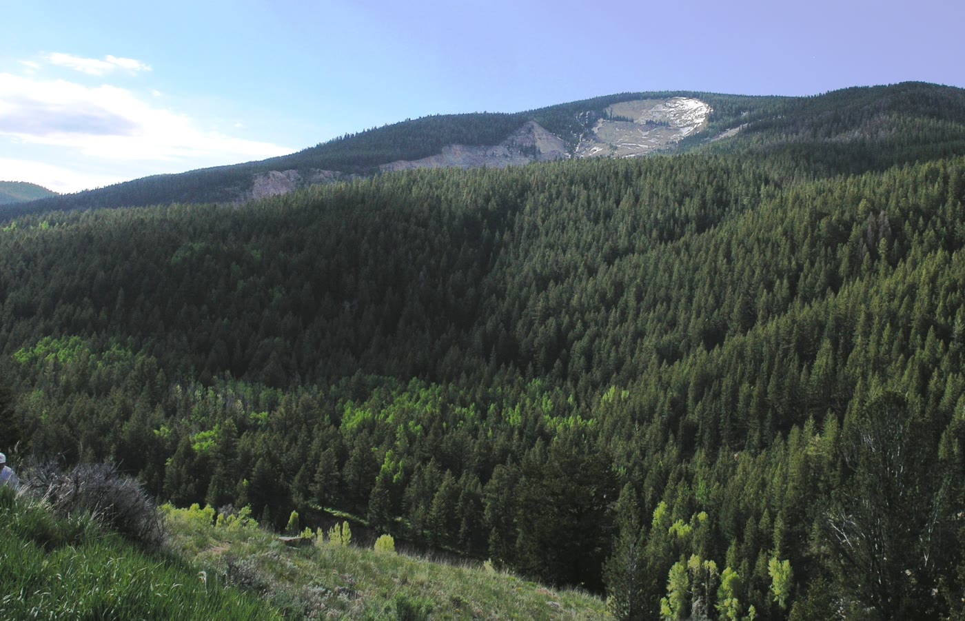 Plate CLXII
Gros Ventre Slide
hillsSlide Lake, Wyoming
The mountain that walked.
43.6° N · 110.5° WOpen plate →
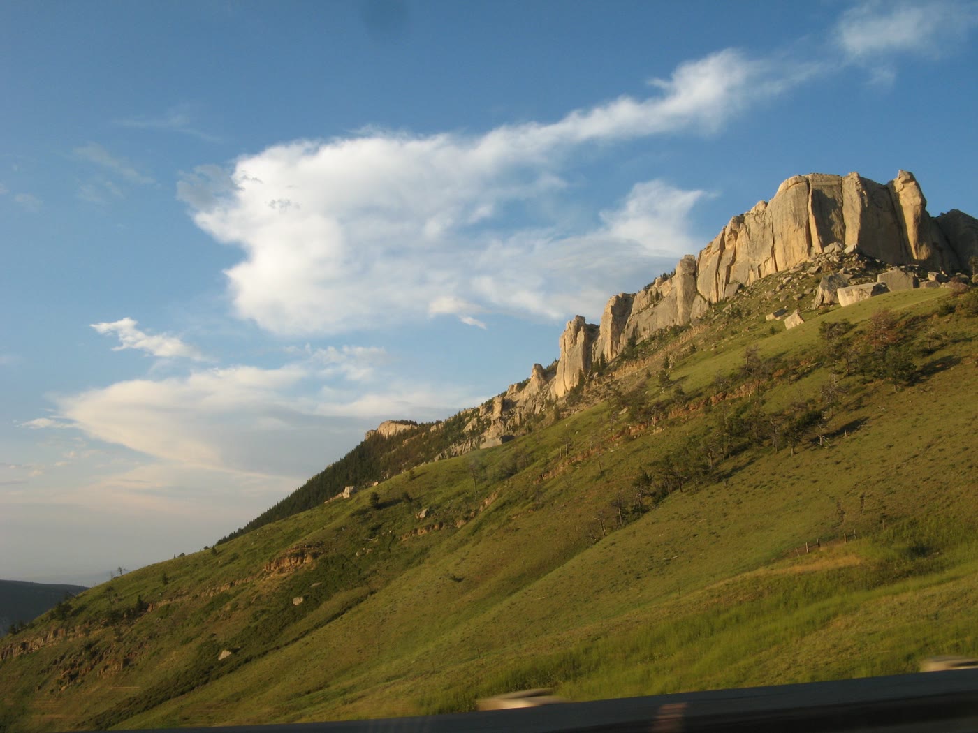 Plate CLXXIII
Steamboat Point
hillsBighorn National Forest, US-14, Wyoming
A stone bow the highway runs under.
44.8° N · 107.4° WOpen plate →
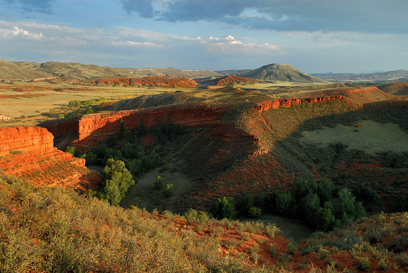 Plate CLXXV
Red Mountain Open Space
hillsLarimer County, on the Wyoming line, Colorado
Red hills the prairie kept.
41.0° N · 105.2° WOpen plate →
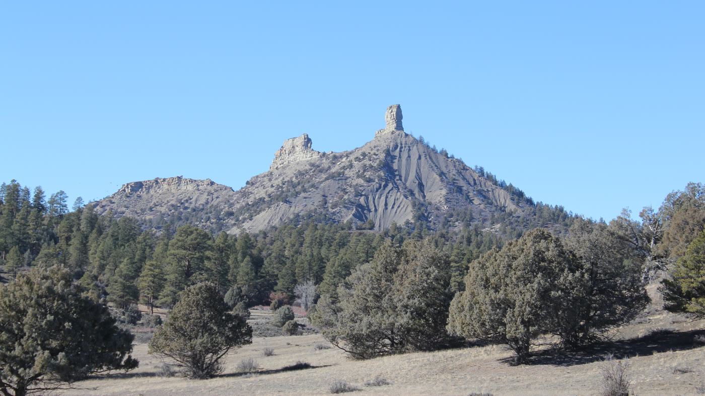 Plate CLXXXI
Chimney Rock
hillsNational Monument, near Pagosa Springs, Colorado
Two stones the mesa stood on end.
37.2° N · 107.3° WOpen plate →
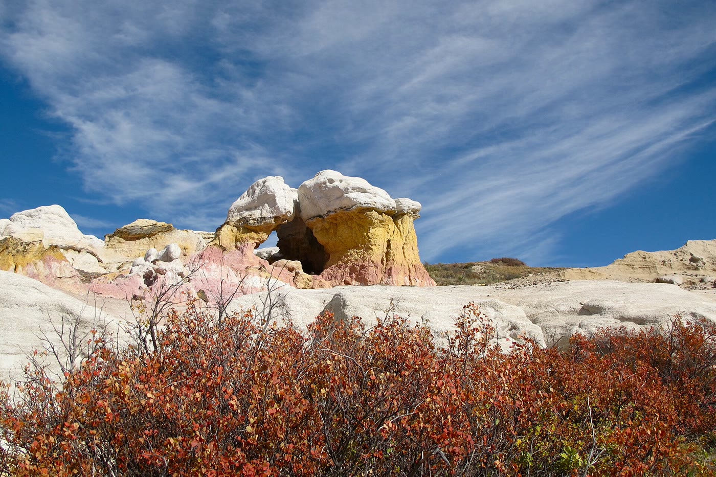 Plate CXCIII
Paint Mines
hillsInterpretive Park, Calhan, Colorado
Color the prairie left standing as towers.
39.0° N · 104.3° WOpen plate →
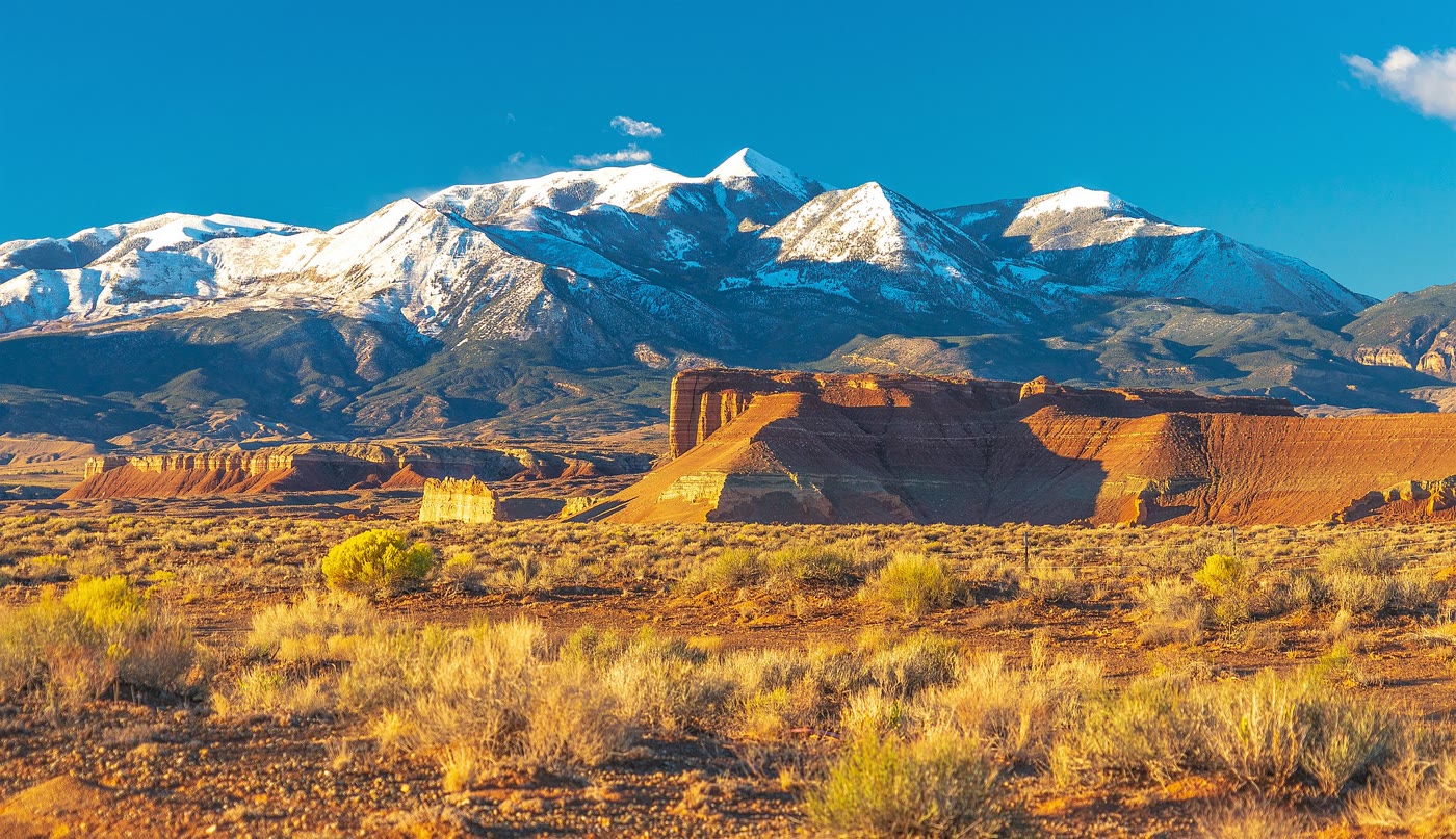 Plate CXCV
Mount Ellen
hillsHenry Mountains, Utah
A mountain that rose alone from the desert floor.
38.1° N · 110.8° WOpen plate →
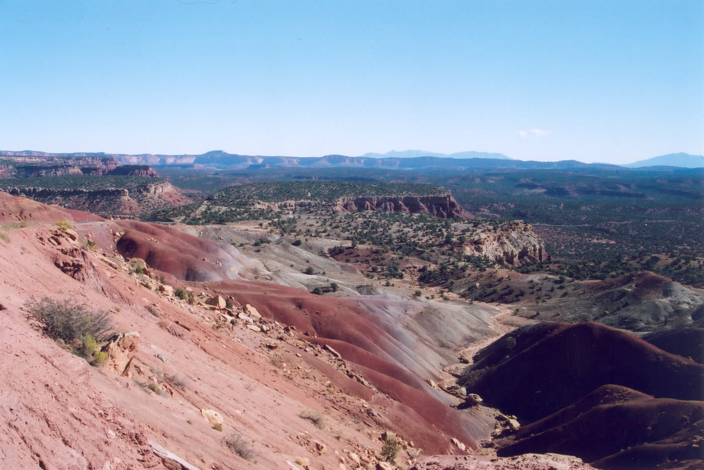 Plate CCXVIII
Burr Trail
hillsCircle Cliffs, Utah
A backway that looks down on its own hills.
37.9° N · 111.3° WOpen plate →
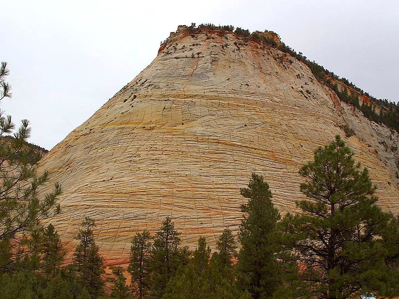 Plate CCXXII
Checkerboard Mesa
hillsZion National Park, east, Utah
A hill the stone ruled into squares.
37.2° N · 112.9° WOpen plate →
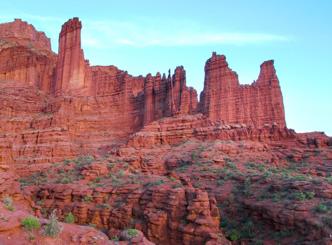 Plate CCXXIV
Fisher Towers
hillsCastle Valley, Utah
Towers the valley kept like a skyline.
38.7° N · 109.3° WOpen plate →
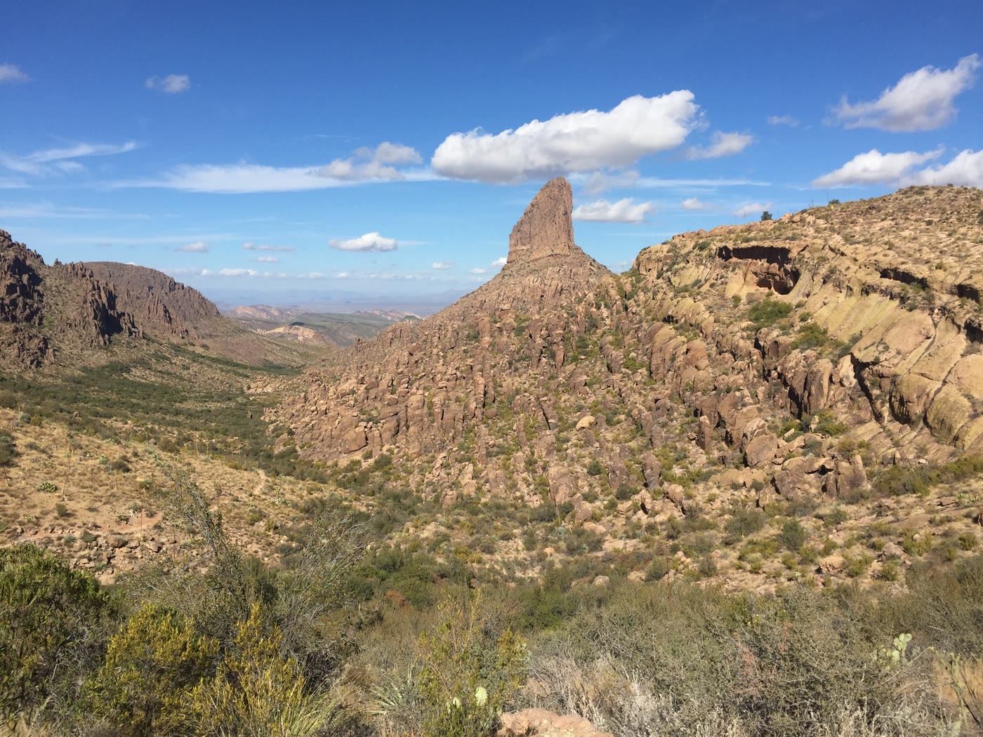 Plate CCXXXIX
Weaver's Needle
hillsSuperstition Mountains, Arizona
A needle the Superstitions kept for a landmark.
33.4° N · 111.4° WOpen plate →
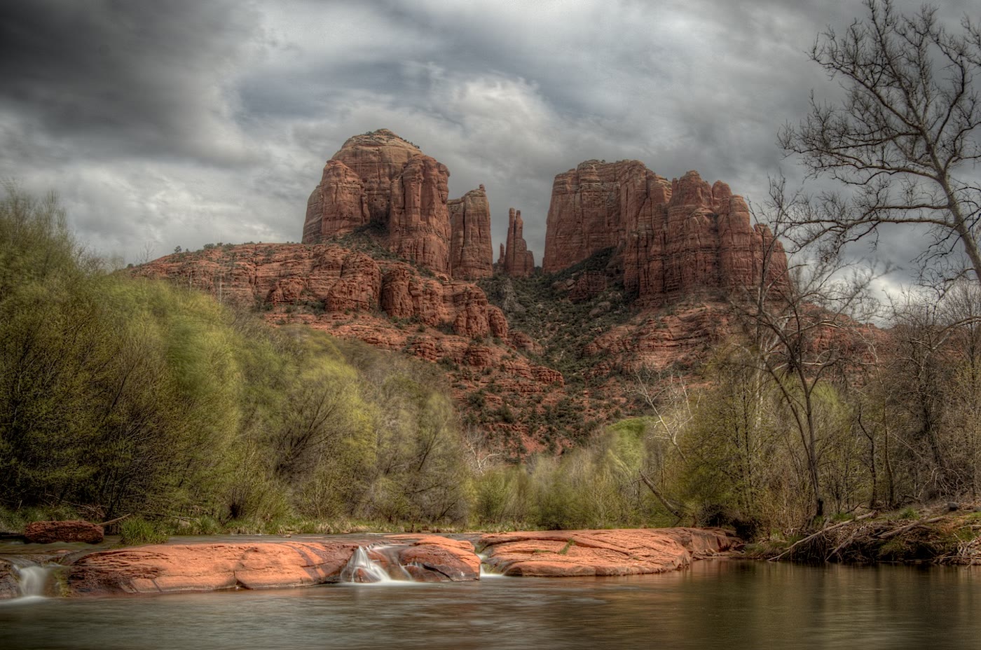 Plate CCXLI
Cathedral Rock
hillsOak Creek, Sedona, Arizona
Spires the creek was asked to look up at.
34.8° N · 111.8° WOpen plate →
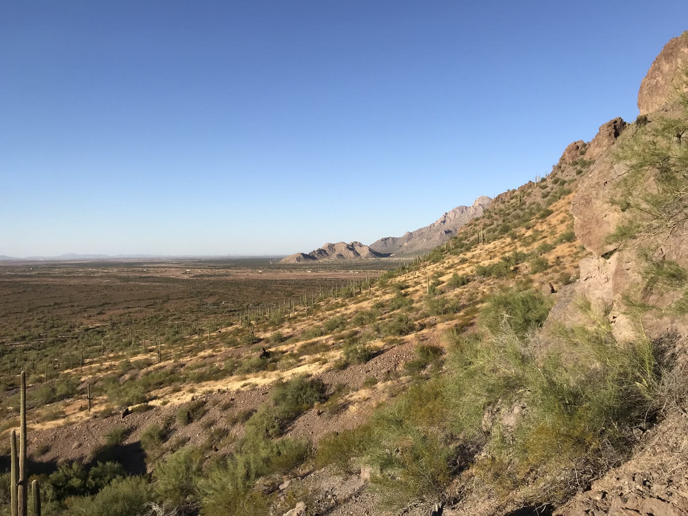 Plate CCXLVII
Picacho Peak
hillsPicacho Peak State Park, Arizona
A peak the basin raised like a warning.
32.6° N · 111.4° WOpen plate →
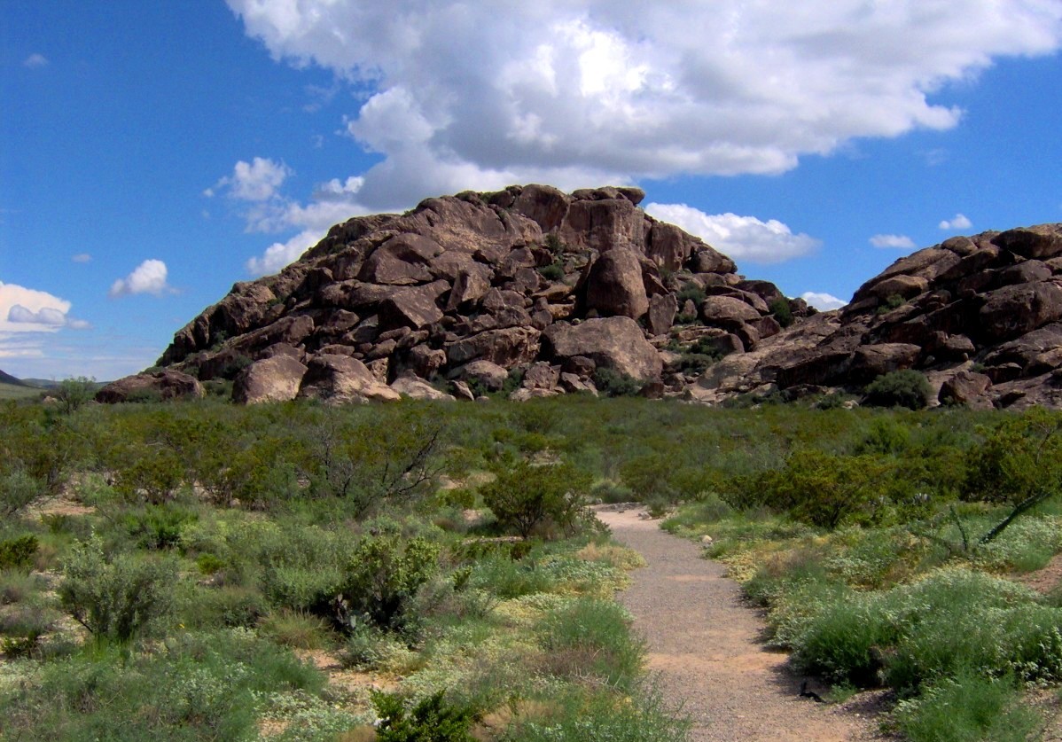 Plate CCLI
Hueco Tanks
hillsHueco Mountains, east of El Paso, Texas
Three stone hills that learned to keep water.
31.9° N · 106.0° WOpen plate →
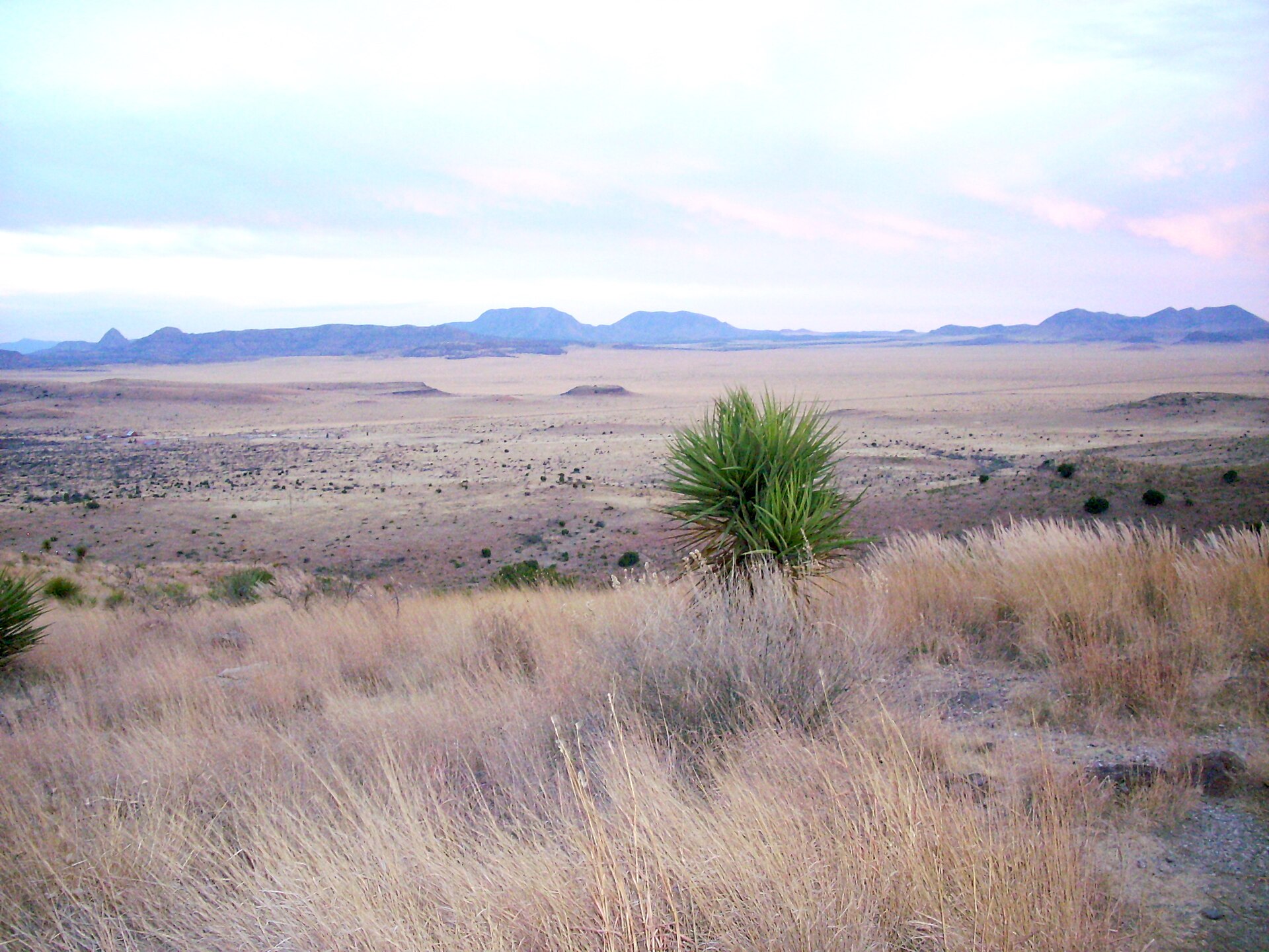 Plate CCLII
Davis Mountains
hillsTrans-Pecos, Jeff Davis County, Texas
A sky island the interstate forgot.
30.6° N · 103.9° WOpen plate →
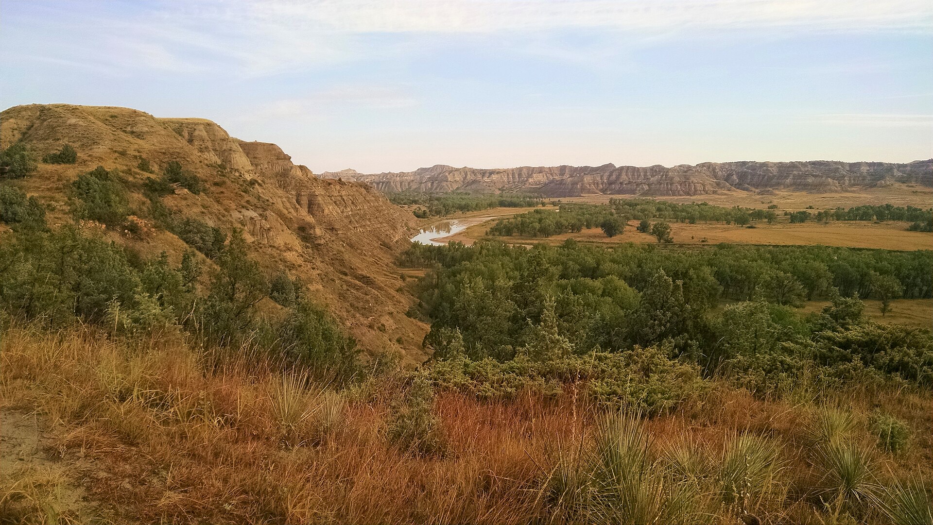 Plate CCLVII
Little Missouri National Grassland
hillsBurnt Hills, McKenzie County, North Dakota
The grassland that wears the park’s same paint.
48.1° N · 103.1° WOpen plate →
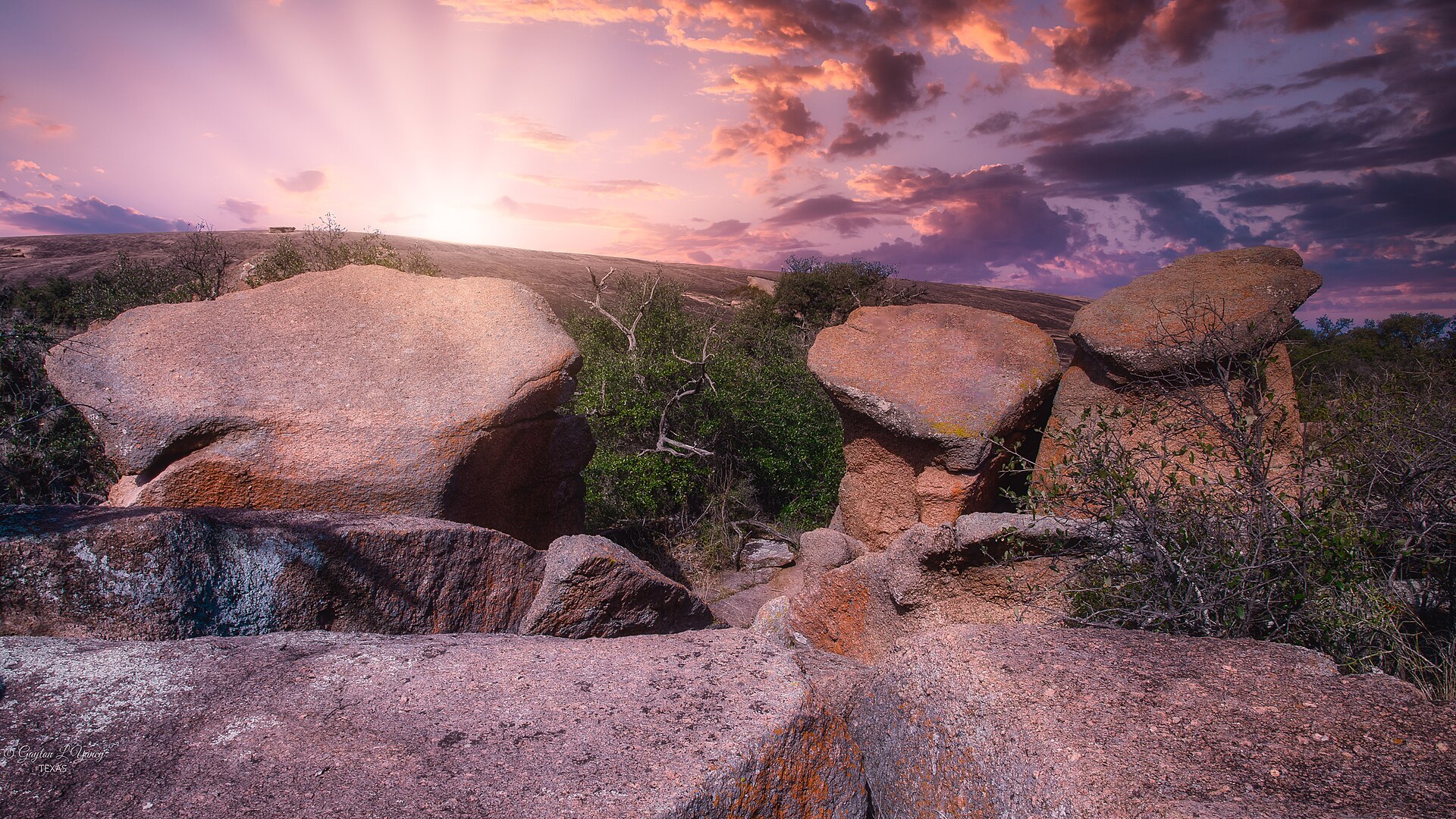 Plate CCLVIII
Enchanted Rock
hillsTexas Hill Country, Gillespie County, Texas
A granite whale the Hill Country kept.
30.5° N · 99.3° WOpen plate →
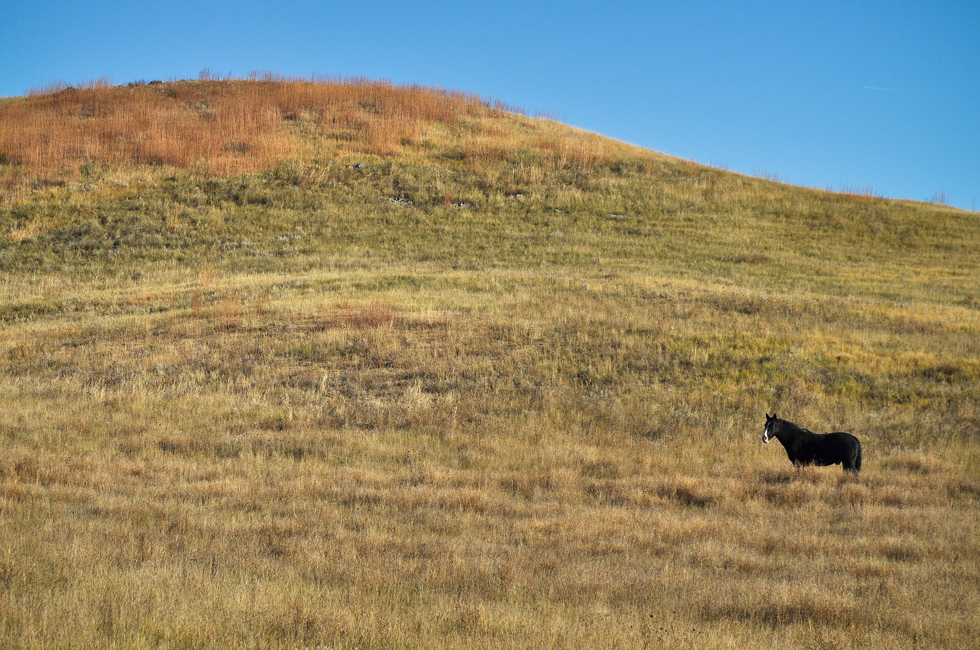 Plate CCLIX
Buffalo Gap National Grassland
hillssouthwestern South Dakota, near Wall, South Dakota
The grass that walks up to the Badlands and stops.
43.8° N · 102.2° WOpen plate →
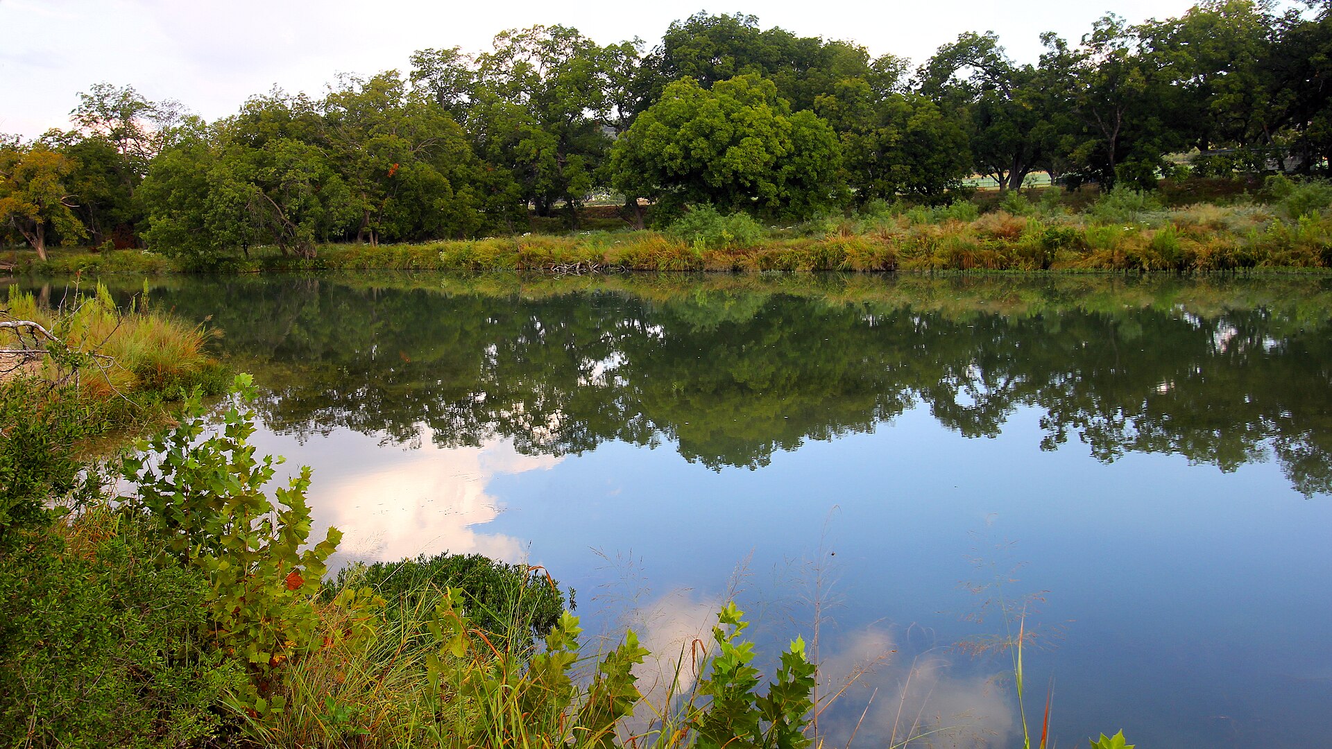 Plate CCLX
South Llano
hillsEdwards Plateau, Kimble County, Texas
A Hill Country river that still reads as water and woods.
30.4° N · 99.8° WOpen plate →
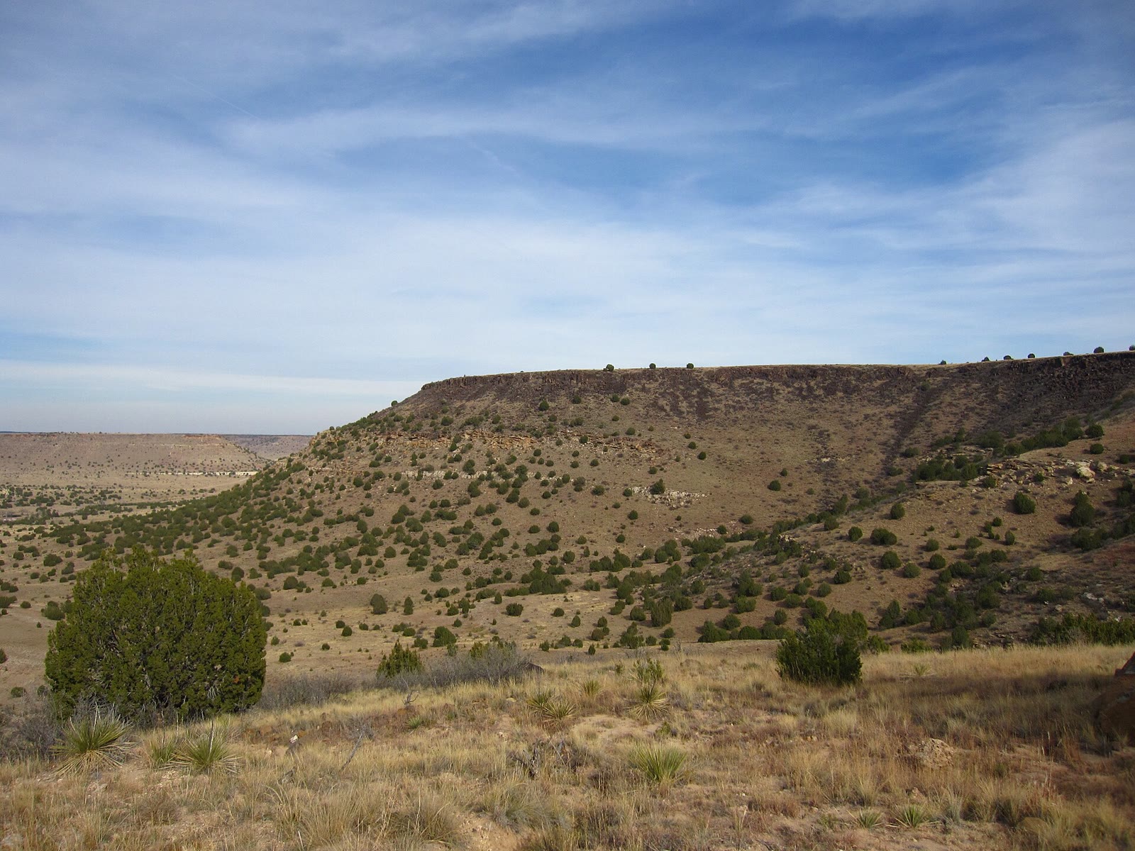 Plate CCLXVII
Black Mesa
hillsOklahoma Panhandle, Cimarron County, Oklahoma
Oklahoma’s last mesa, still wearing grass.
36.9° N · 103.0° WOpen plate →
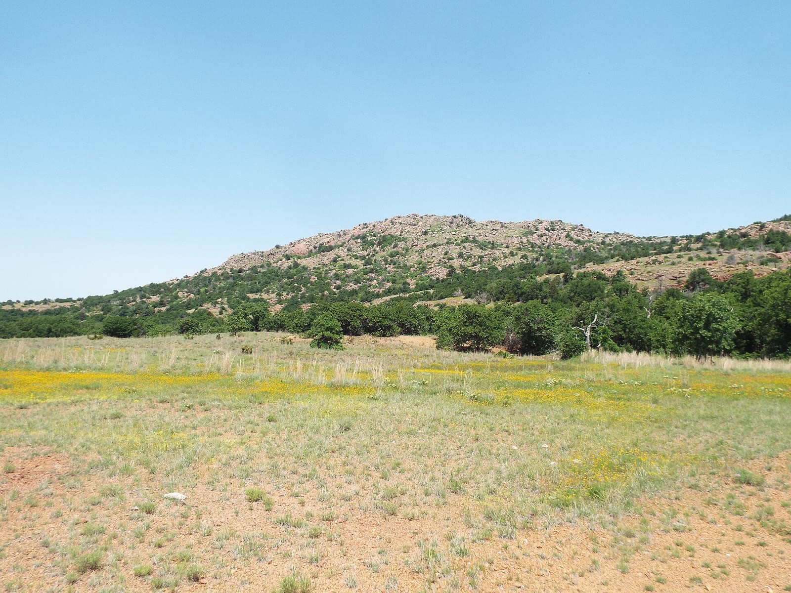 Plate CCLXXII
Wichita Mountains
hillsWichita Mountains NWR, Comanche County, Oklahoma
Granite islands in a sea of grass.
34.8° N · 98.7° WOpen plate →
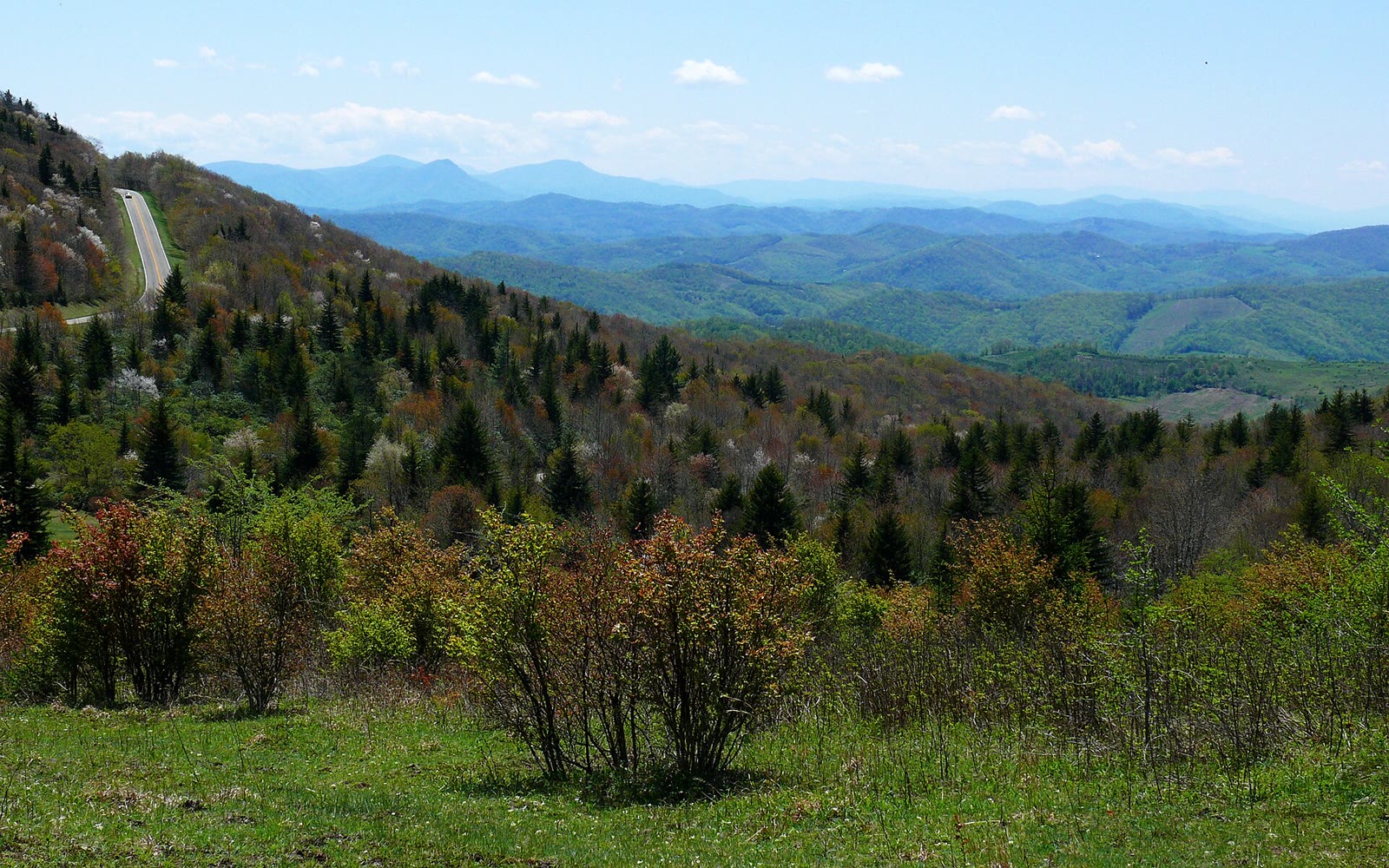 Plate CCLXXVII
Grayson Highlands
hillsMount Rogers high country, Grayson County, Virginia
A highland bald the ponies still keep.
36.6° N · 81.5° WOpen plate →
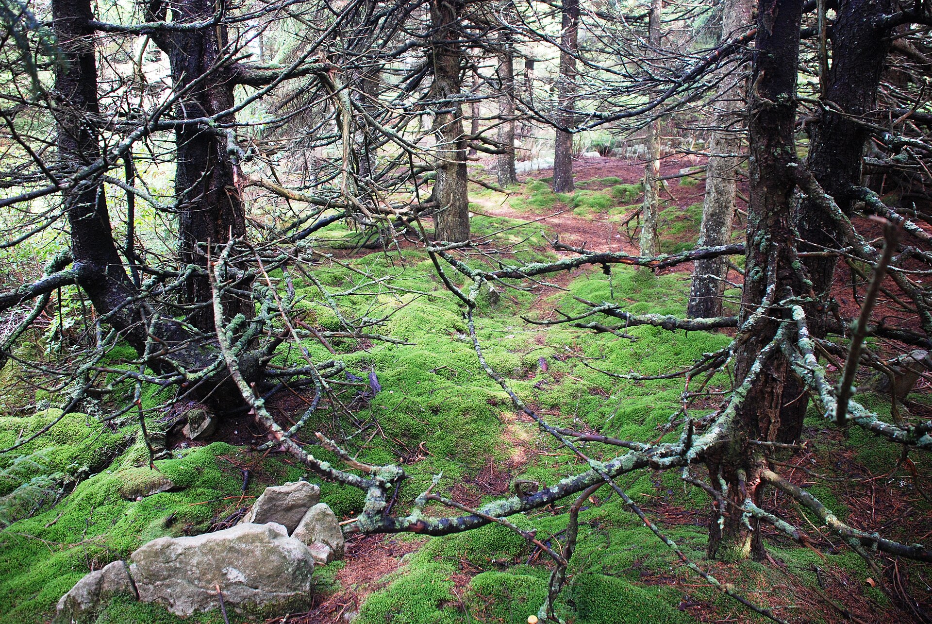 Plate CCLXXXIX
Spruce Knob
hillsMonongahela NF, Pendleton County, West Virginia
A spruce heath the East still keeps high.
38.7° N · 79.5° WOpen plate →
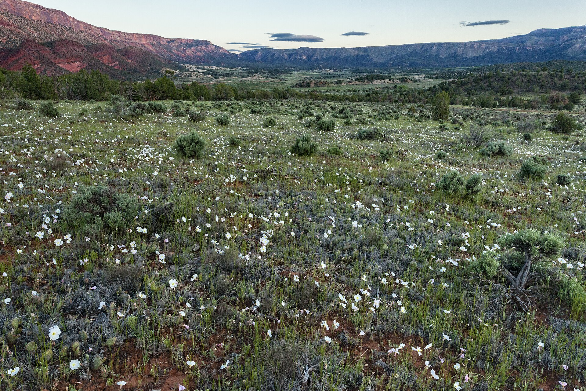 Plate CCXC
Uncompahgre Plateau
hillsSewemup and Unaweep country, Uncompahgre NF, Colorado
A mesa the forest still keeps high.
38.5° N · 108.6° WOpen plate →
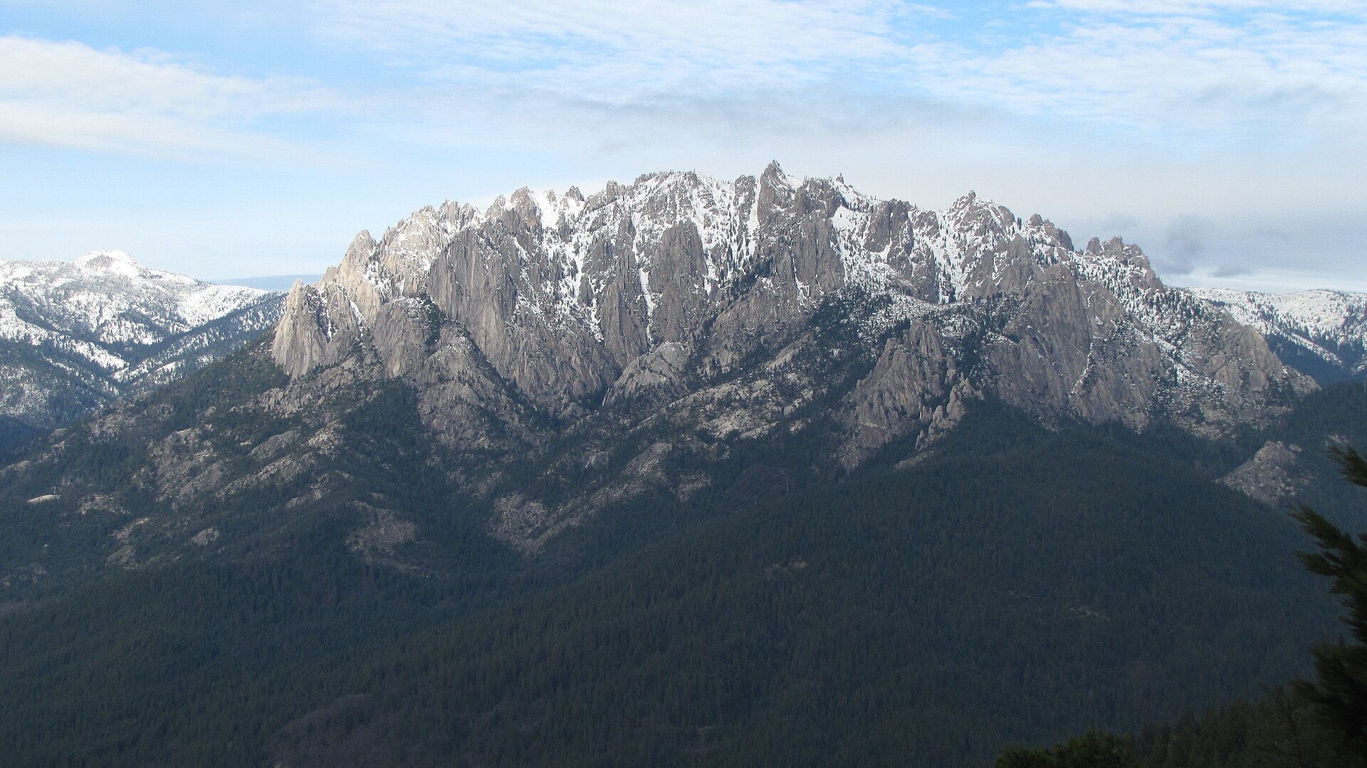 Plate CCXCIII
Castle Crags
hillsCastle Crags Wilderness, Shasta-Trinity NF, California
Granite towers the interstate only glances at.
41.2° N · 122.3° WOpen plate →
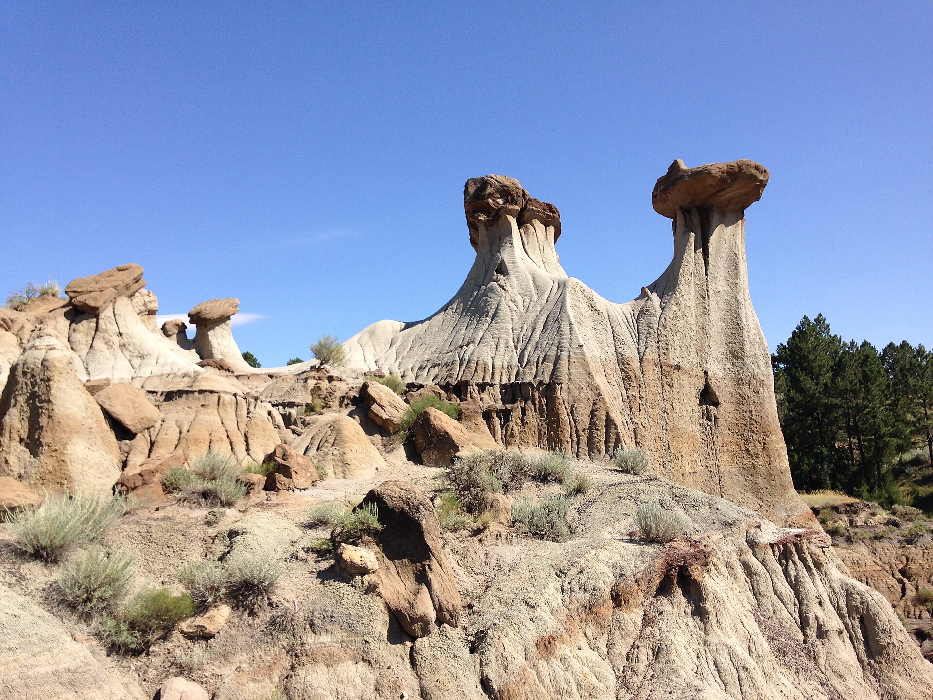 Plate CCCII
Makoshika
hillsHell Creek badlands, east of Glendive, Montana
Pale hoodoos over sage and a hard Montana sky.
47.1° N · 104.7° WOpen plate →
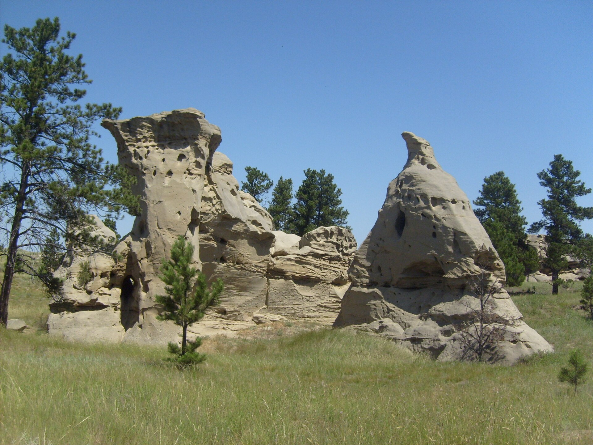 Plate CCCIII
Medicine Rocks
hillsMedicine Rocks State Park, near Ekalaka, Montana
Honeycombed sandstone rising from shortgrass.
46.0° N · 104.4° WOpen plate →
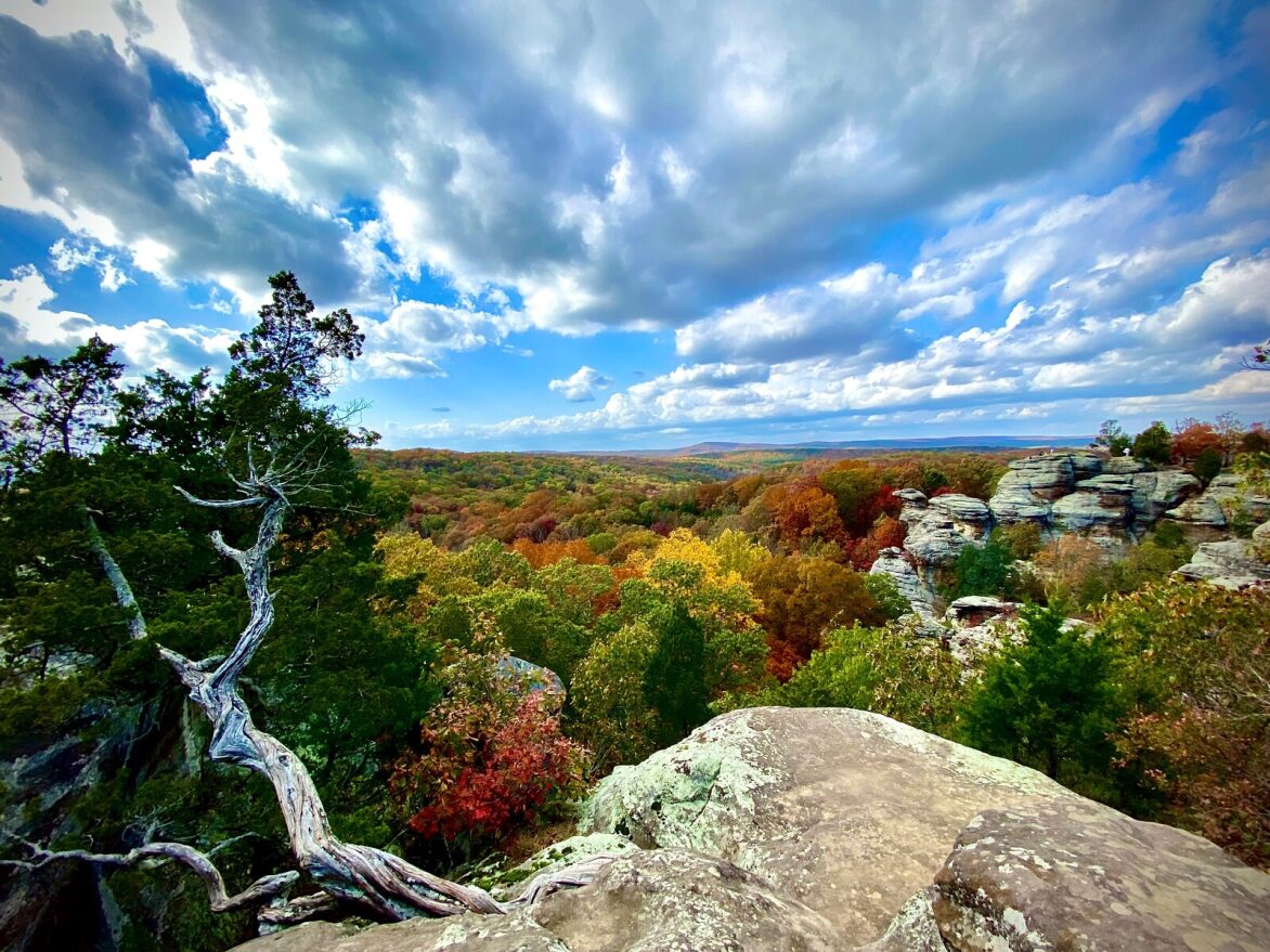 Plate CCCVI
Shawnee Garden of the Gods
hillsGarden of the Gods Wilderness, Shawnee NF, Illinois
Illinois stone the fall still paints.
37.6° N · 88.4° WOpen plate →
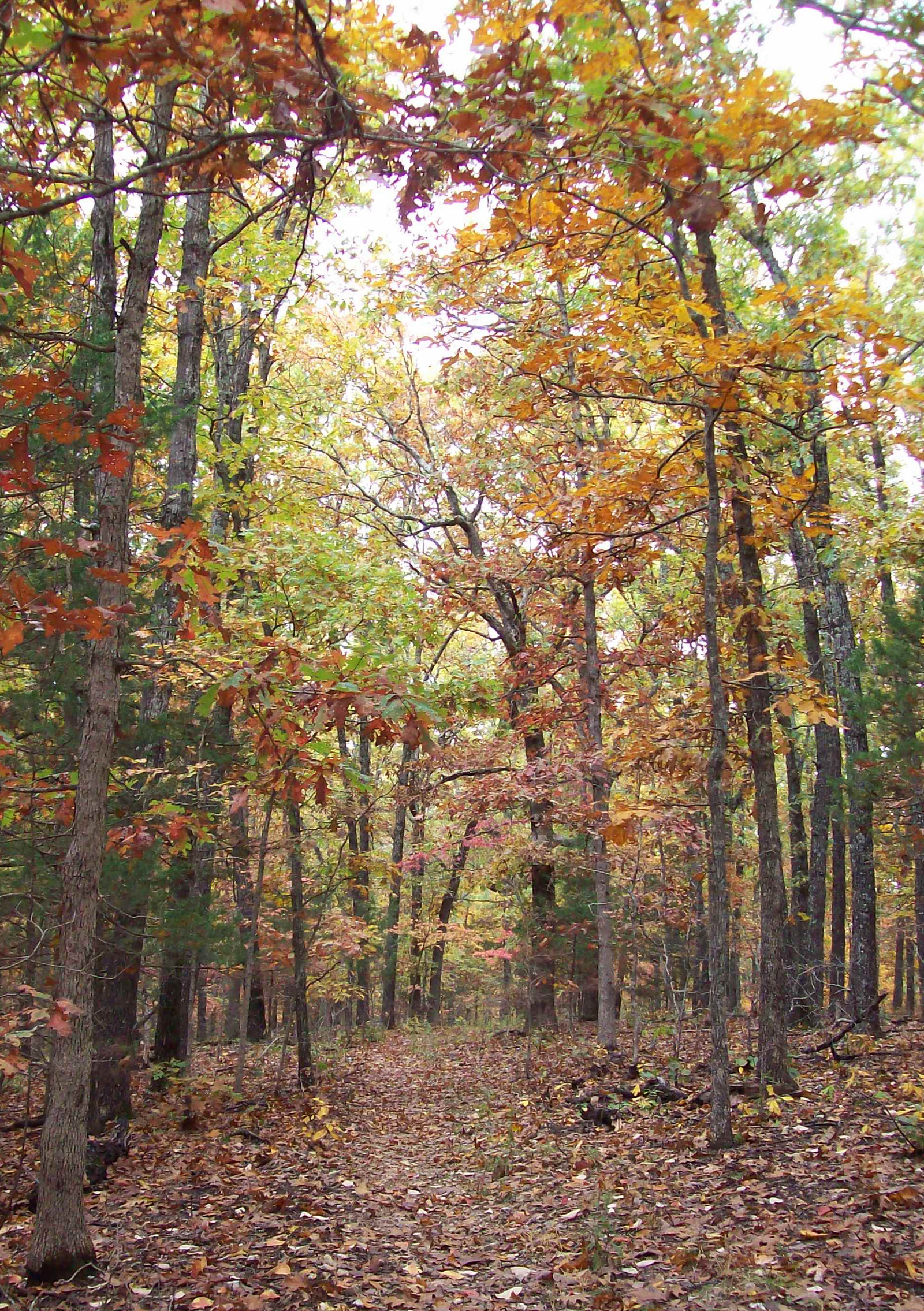 Plate CCCXLI
Hercules Glades
hillsMark Twain National Forest, Taney County, Missouri
Bald limestone and a creek the Ozarks kept.
36.7° N · 92.9° WOpen plate →
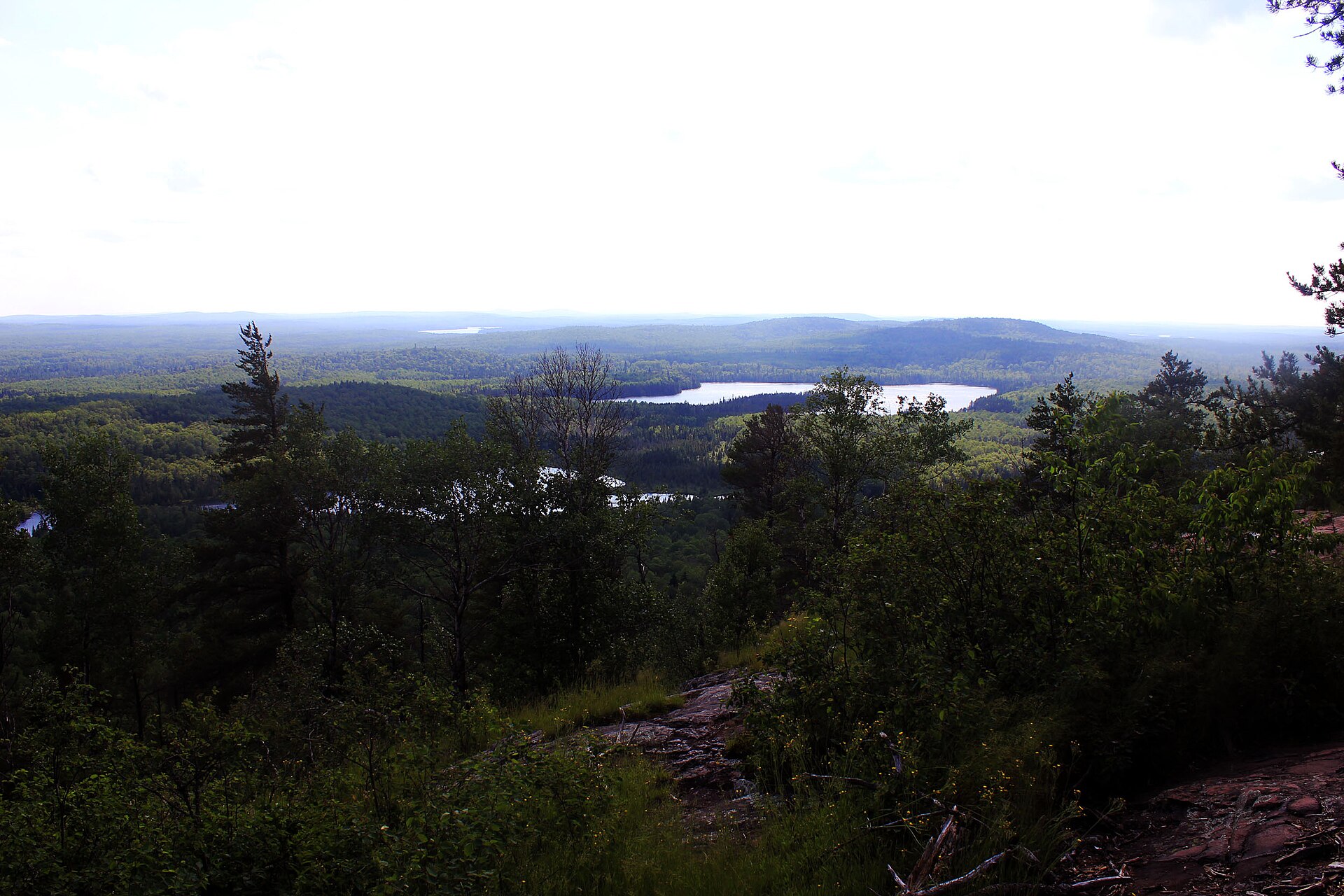 Plate CCCXLIX
Eagle Mountain
hillsMisquah Hills, Superior National Forest, Minnesota
The highest rock in Minnesota.
47.9° N · 90.6° WOpen plate →
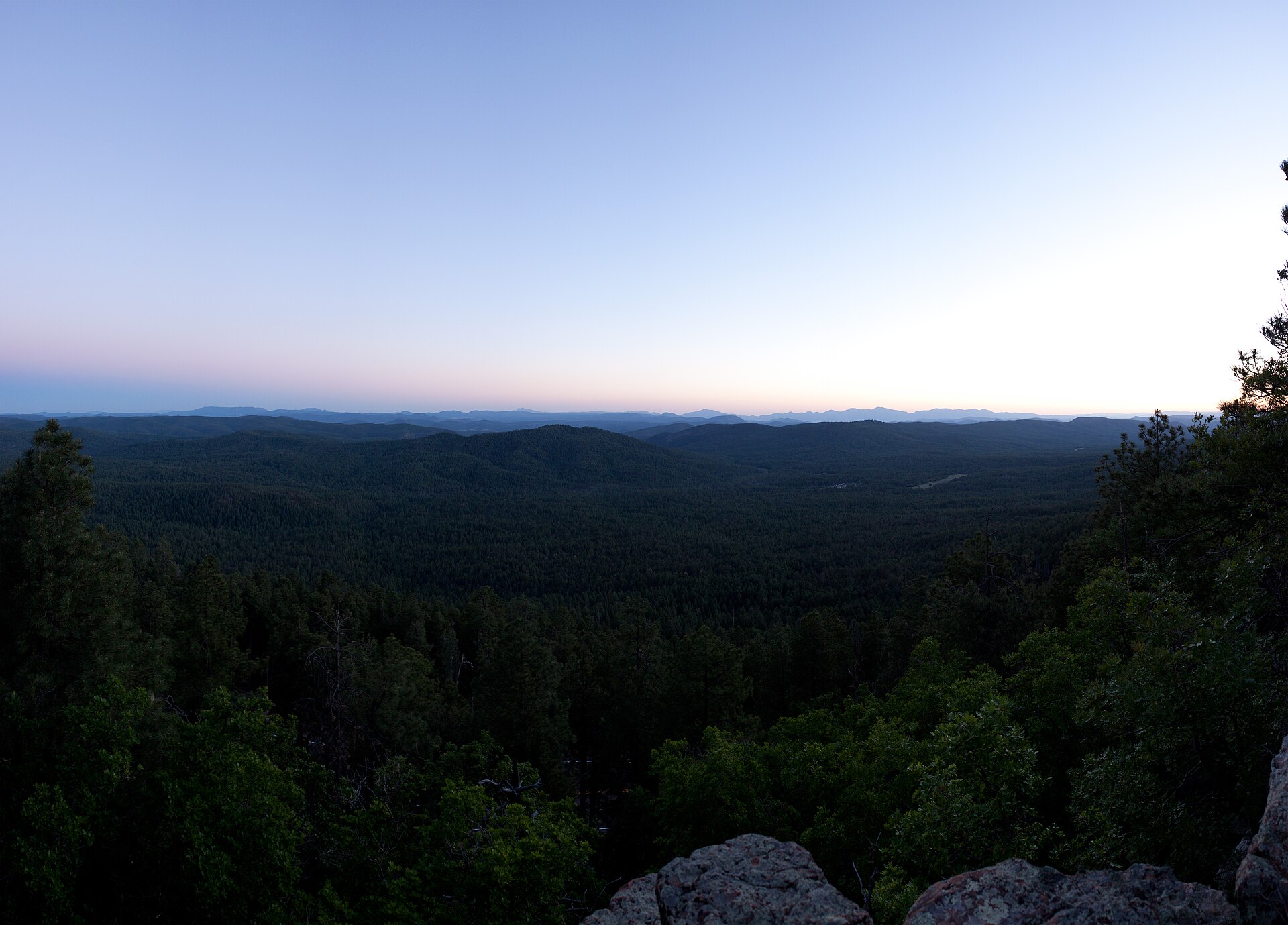 Plate CCCLI
Mogollon Rim
hillsWoods Canyon overlook, Apache-Sitgreaves, Arizona
Where the Colorado Plateau ends.
34.3° N · 110.9° WOpen plate →
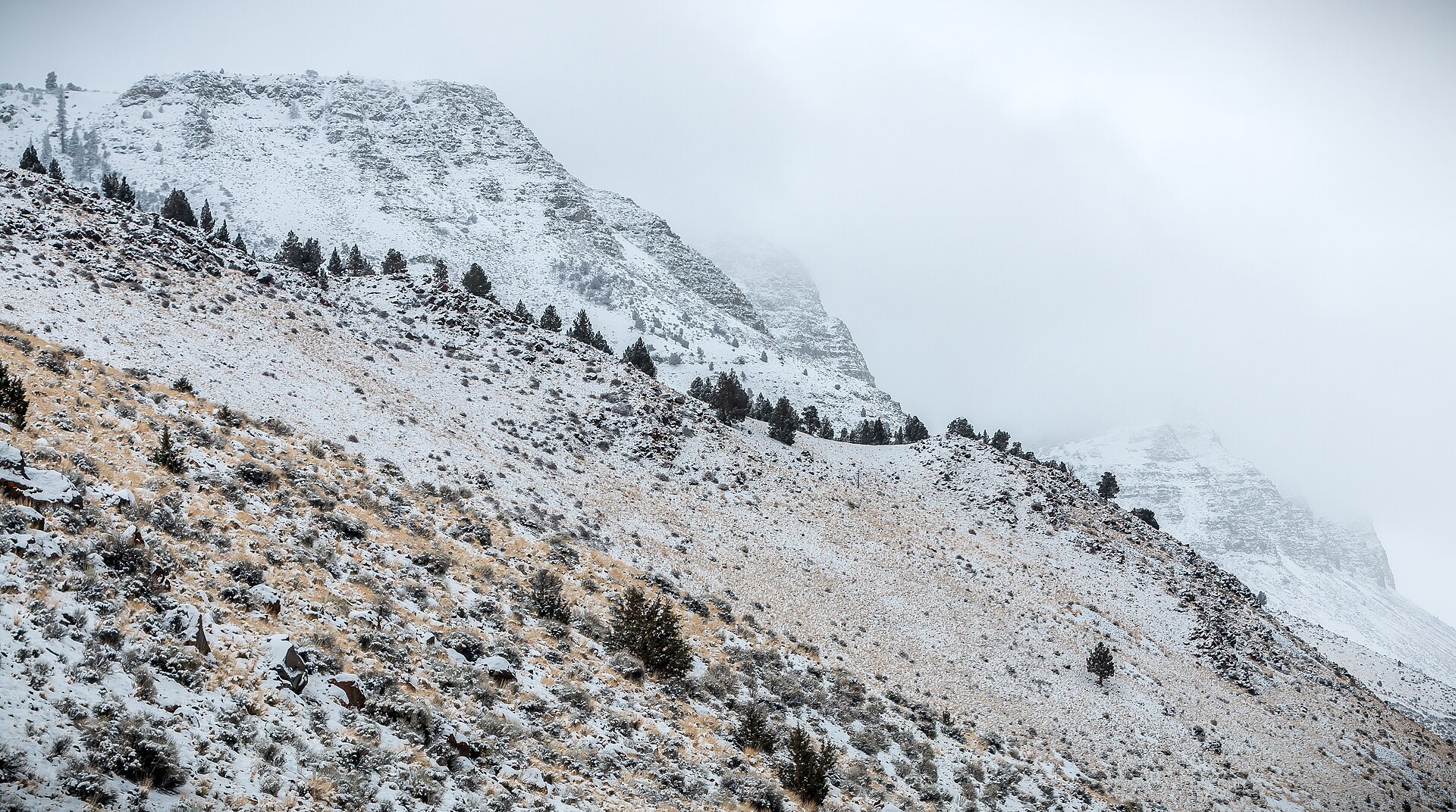 Plate CCCLXI
Abert Rim
hillsLake County, Highway 395, Oregon
The long rim over a bitter Great Basin lake.
42.6° N · 120.2° WOpen plate →
Asked at the trailhead
Questions already asked
- What counts as hill country in this atlas?
- Uplands that are not true alpine: folded ridges, granite knobs, and rolling ranges. Open the hills index to see hill-country plates by state.
Change course