The Field Atlas
0/363Ocean-facing ranges
Pacific destinations in the USA
Pacific country in this atlas is coast, redwood, volcano, and high Sierra.
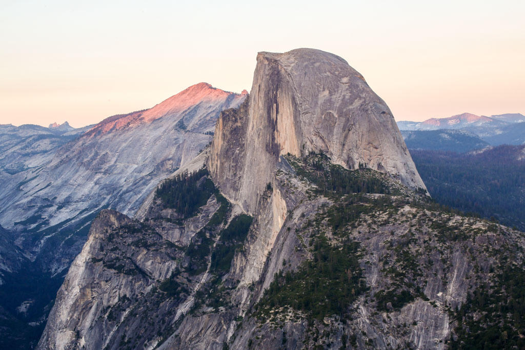
FrontispieceYosemite Valley, California
Travelers come for Big Sur, Olympic spray, and granite that holds snow. Quieter Cascade country — Black Butte, Castle Crags, Medicine Lake, Lava Beds, Newberry, Thielsen, Broken Top — sits between the famous cones. Image Lake is Miners Ridge water in the Glacier Peak Wilderness, south of the North Cascades park. The King Range is the Lost Coast where the Coast Range meets the Pacific without a highway. Waldo Lake is the clear water in the Willamette National Forest. Abert Rim is the fault scarp over Lake Abert. Use these plates to plan a West Coast nature trip that is not only highway overlooks.
- Plates
- 49
- States
- 5
Pacific
The plates
Plate IXYosemite Valley
alpineSierra Nevada, California
Ice carved a hall of granite and left the water falling.
37.7° N · 119.6° WOpen plate →
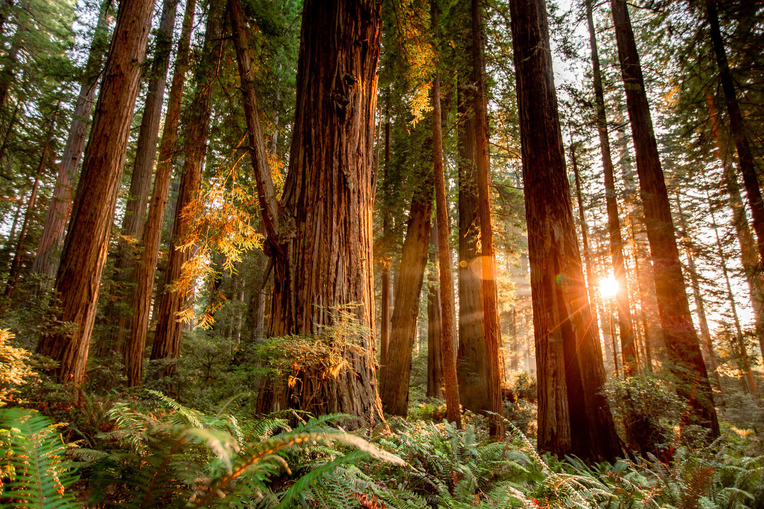 Plate X
Coast Redwoods
forestRedwood National and State Parks, California
A forest that drinks the Pacific fog.
41.2° N · 124.0° WOpen plate →
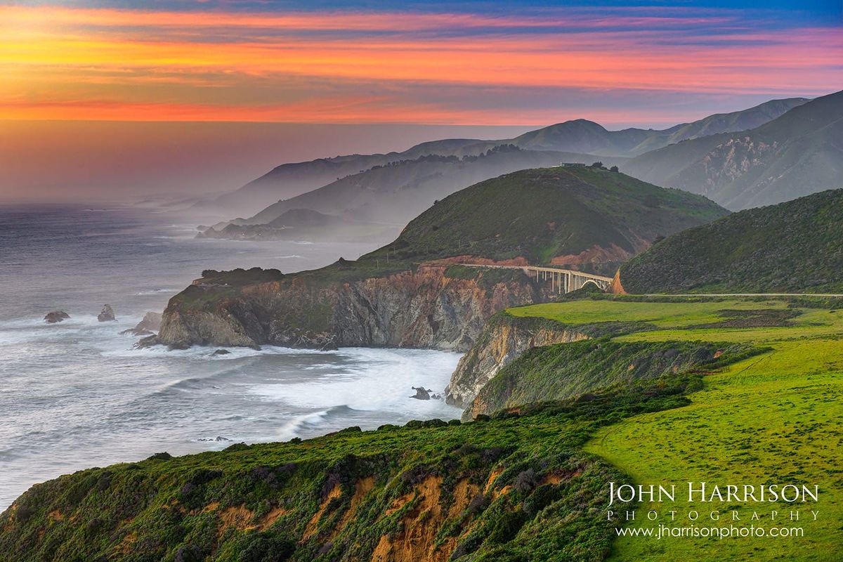 Plate XI
Big Sur
coastSanta Lucia Range, Central Coast, California
Where the continent ends in a long green fall to the sea.
36.3° N · 121.8° WOpen plate →
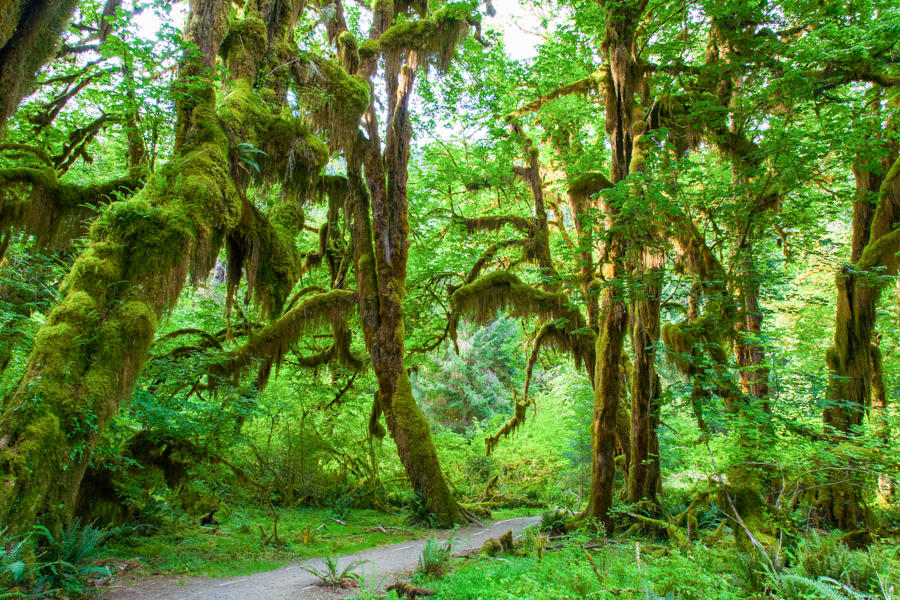 Plate XII
Hoh Rain Forest
forestOlympic National Park, Washington
A green hush that never quite dries.
47.9° N · 123.9° WOpen plate →
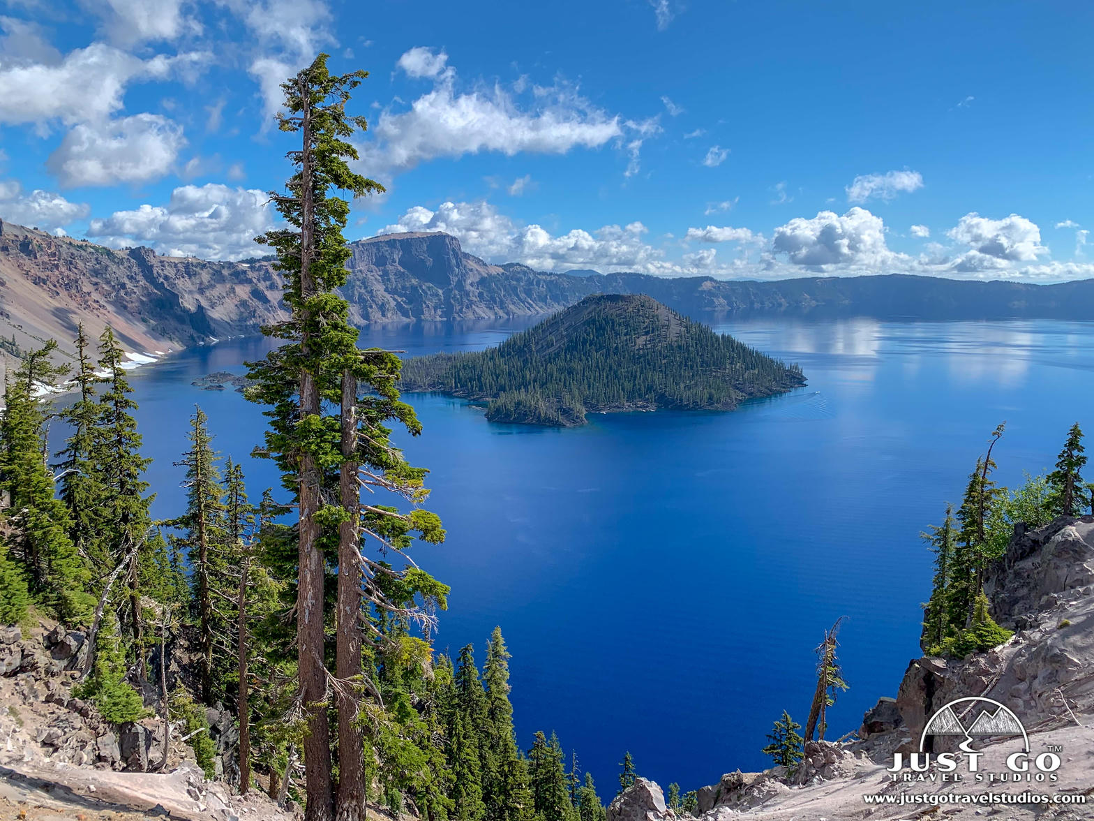 Plate XIII
Crater Lake
volcanicCascade Range, Oregon
A mountain that became a bowl of impossible blue.
42.9° N · 122.1° WOpen plate →
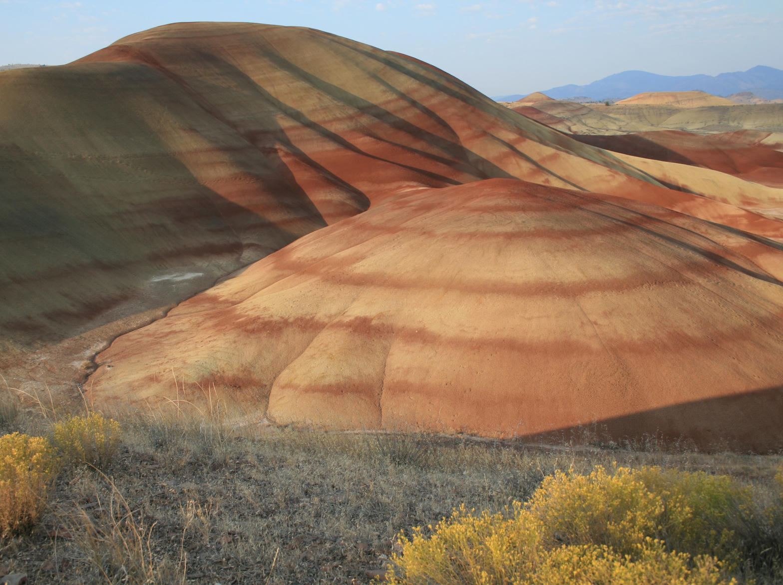 Plate XIV
Painted Hills
desertJohn Day Fossil Beds, Oregon
A hillside painted by climates that no longer exist.
44.7° N · 120.3° WOpen plate →
 Plate XV
The Palouse
hillsWashington
A country of hills that look poured, not built.
46.7° N · 117.2° WOpen plate →
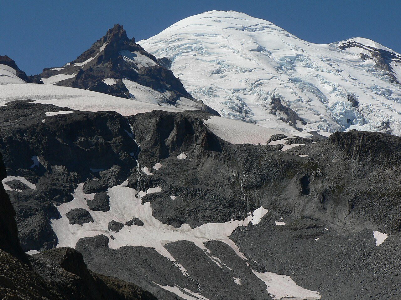 Plate XXXIX
Mount Rainier
volcanicCascade Range, Washington
A volcano wearing a meadow like a collar.
46.9° N · 121.8° WOpen plate →
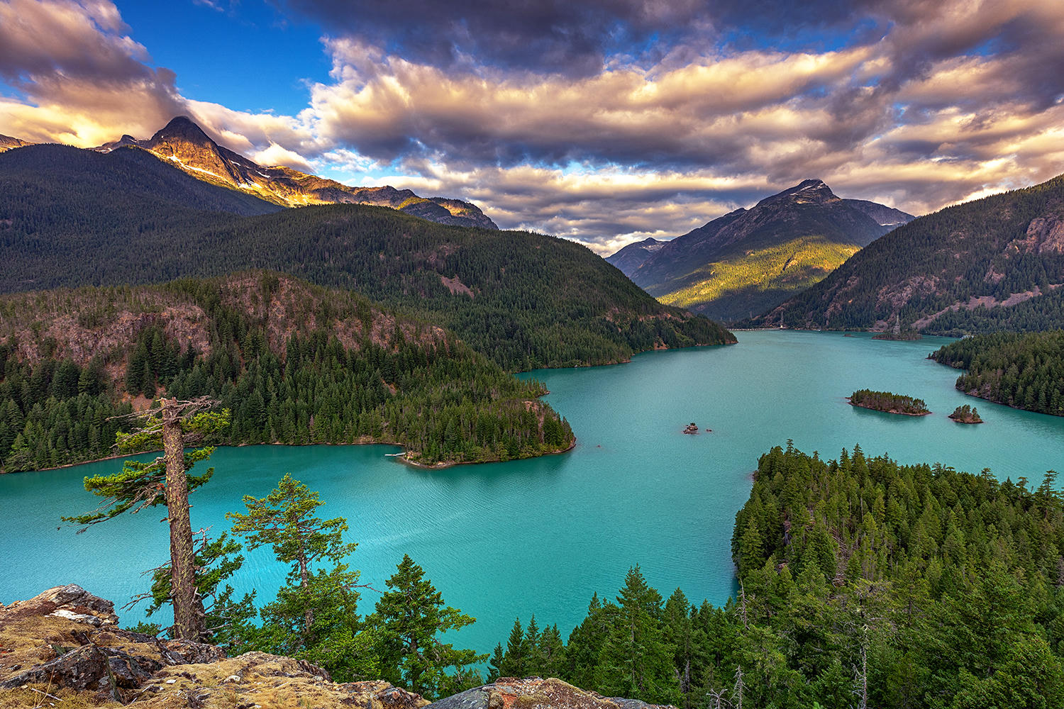 Plate XL
North Cascades
alpineSkagit country, Washington
The American Alps, still mostly empty of roads.
48.8° N · 121.3° WOpen plate →
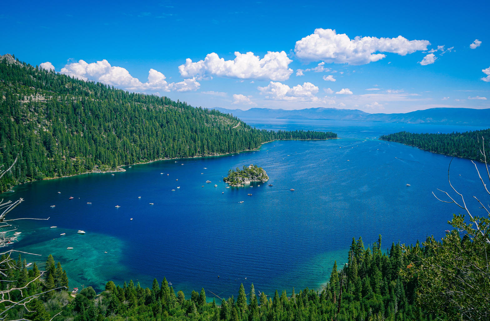 Plate XLI
Lake Tahoe
alpineSierra Nevada / Carson Range, California / Nevada
A high blue bowl the Sierra could not quite drain.
38.9° N · 120.0° WOpen plate →
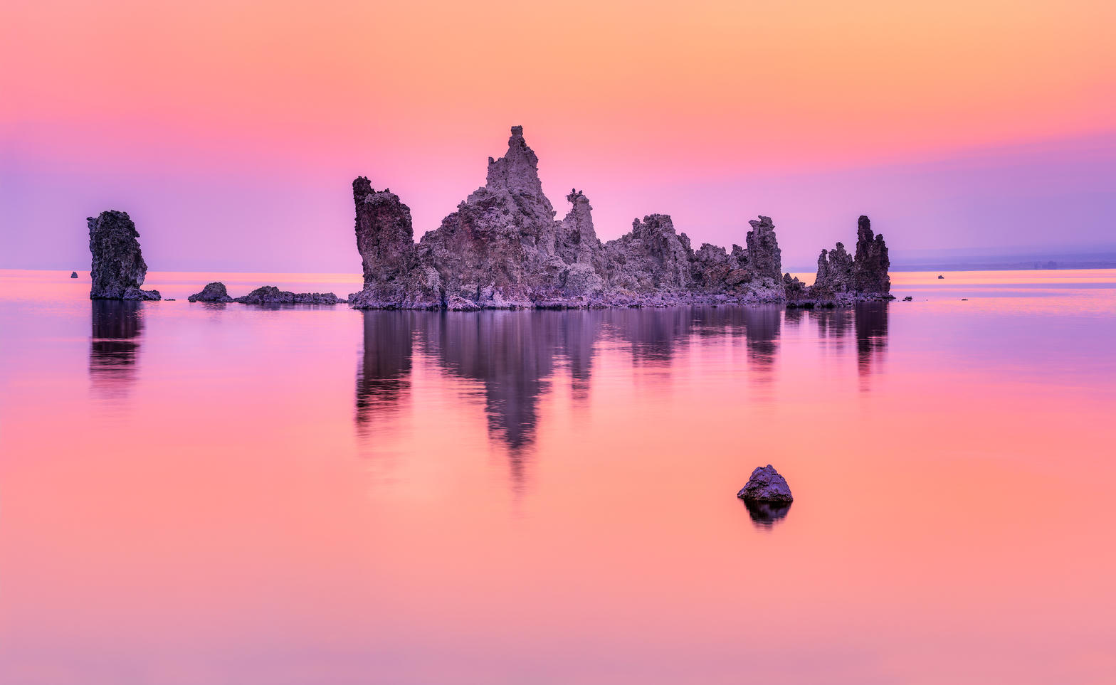 Plate XLII
Mono Lake
desertEastern Sierra, near Lee Vining, California
A pale inland sea planted with stone trees.
38.0° N · 119.0° WOpen plate →
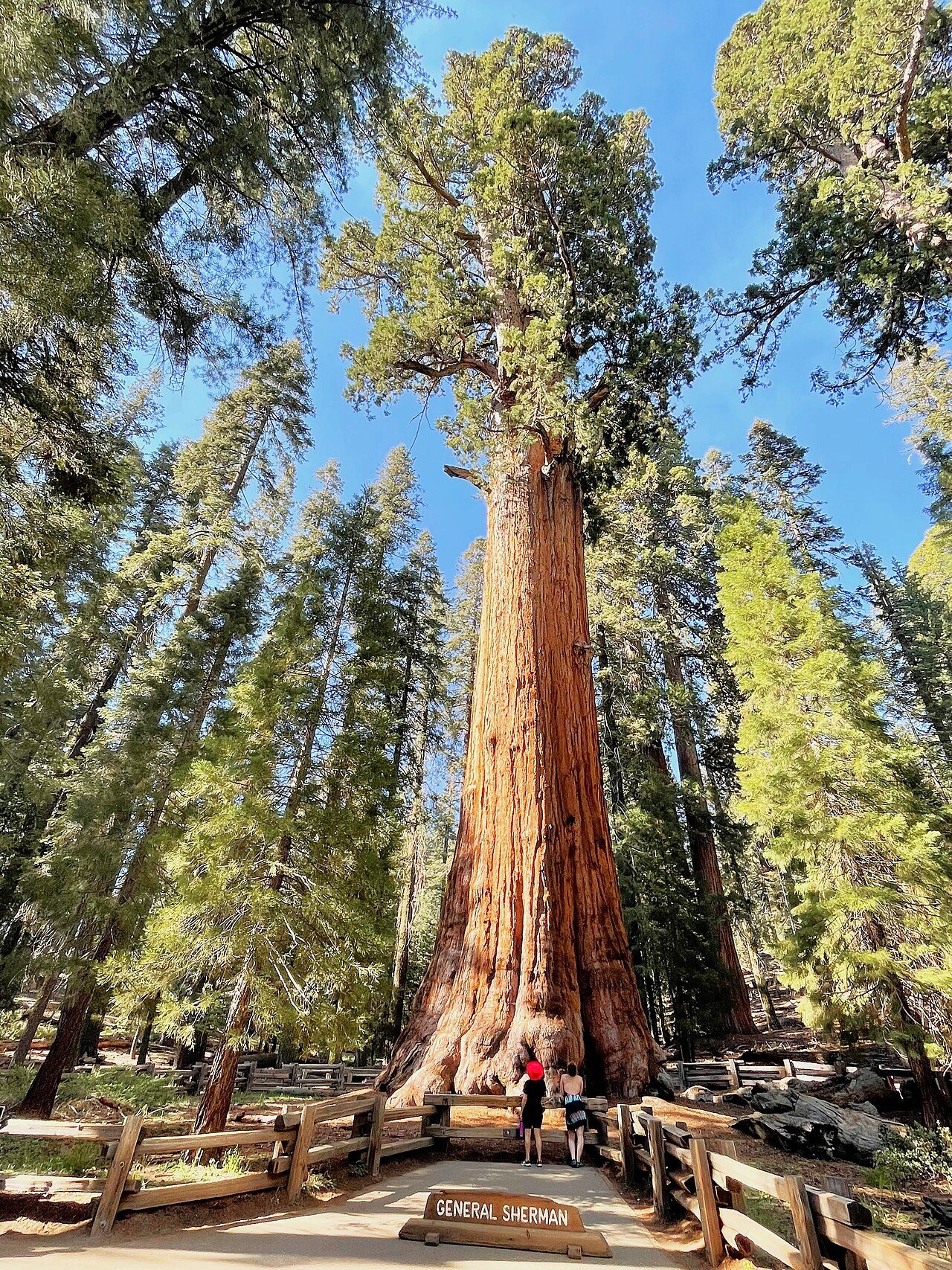 Plate XLIII
Giant Sequoias
forestWestern Sierra Nevada, California
Trees so large they reset your sense of scale.
36.5° N · 118.6° WOpen plate →
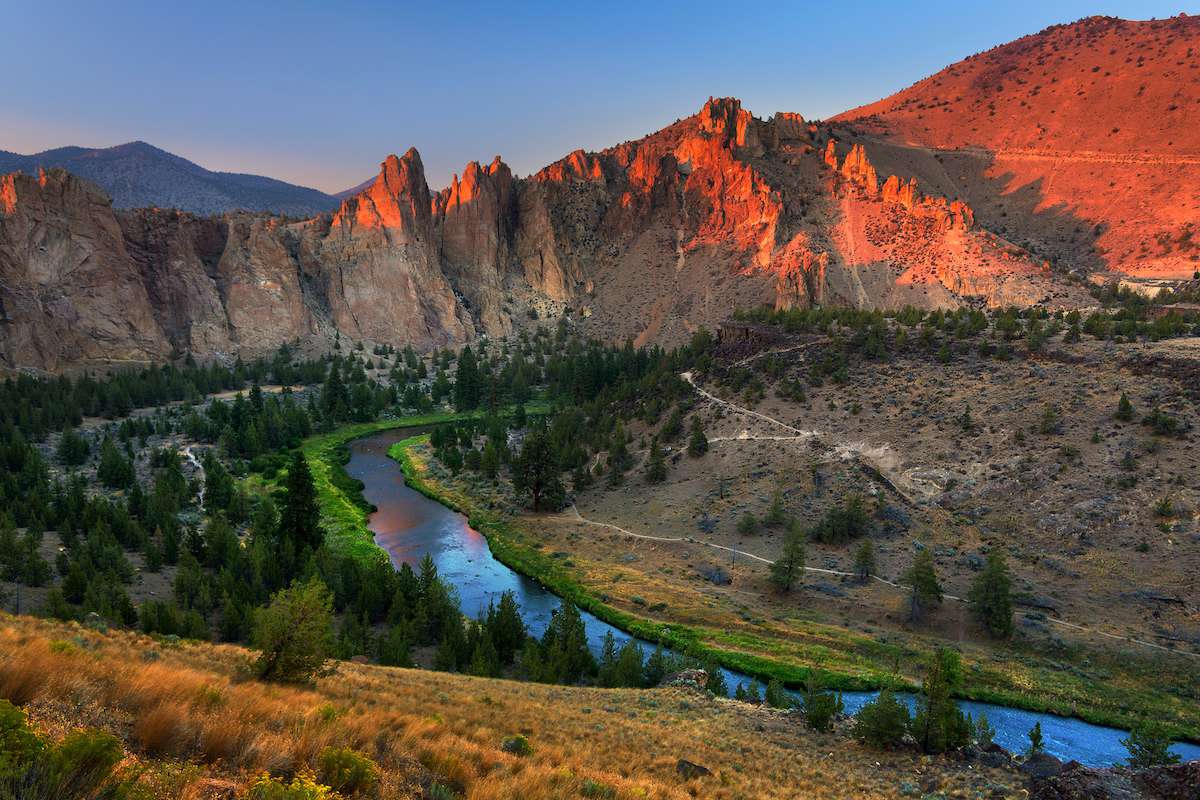 Plate LXIX
Smith Rock
volcanicCrooked River, near Terrebonne, Oregon
A red wall the river decided to keep circling.
44.4° N · 121.1° WOpen plate →
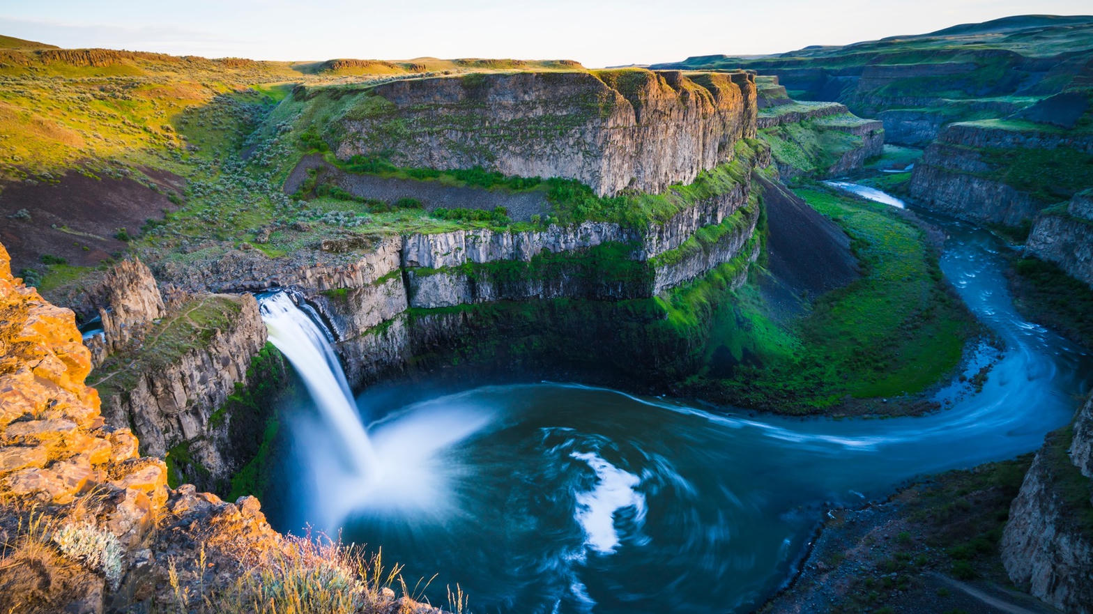 Plate LXX
Palouse Falls
canyonChanneled Scablands, Washington
A flood that ended twelve thousand years ago, still falling.
46.7° N · 118.2° WOpen plate →
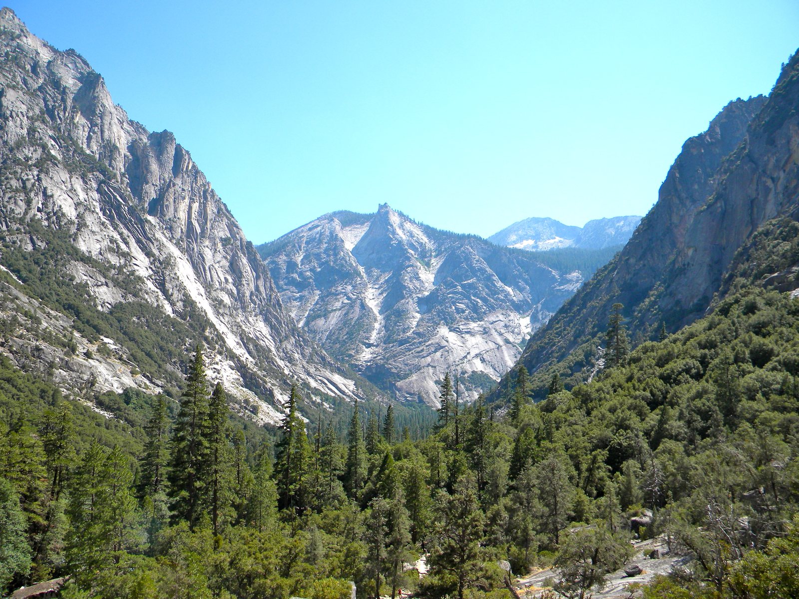 Plate LXXIX
Kings Canyon
canyonSouthern Sierra Nevada, California
A Yosemite that kept the canyon and gave away the crowds.
36.8° N · 118.6° WOpen plate →
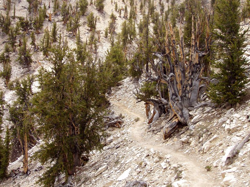 Plate LXXX
Ancient Bristlecones
forestWhite Mountains, Inyo National Forest, California
A forest that has been dying, and living, for forty-five centuries.
37.4° N · 118.2° WOpen plate →
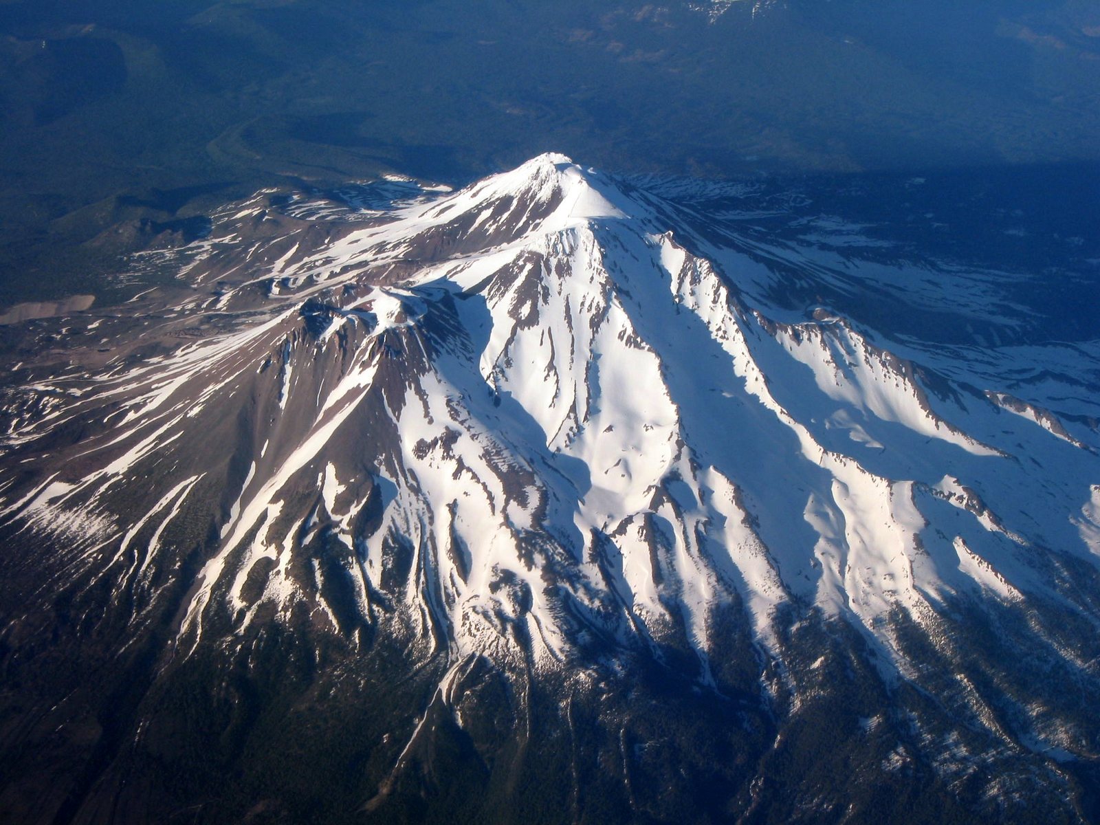 Plate LXXXVII
Mount Shasta
volcanicShasta-Trinity National Forest, California
A mountain that stands alone and makes a sky to match.
41.4° N · 122.2° WOpen plate →
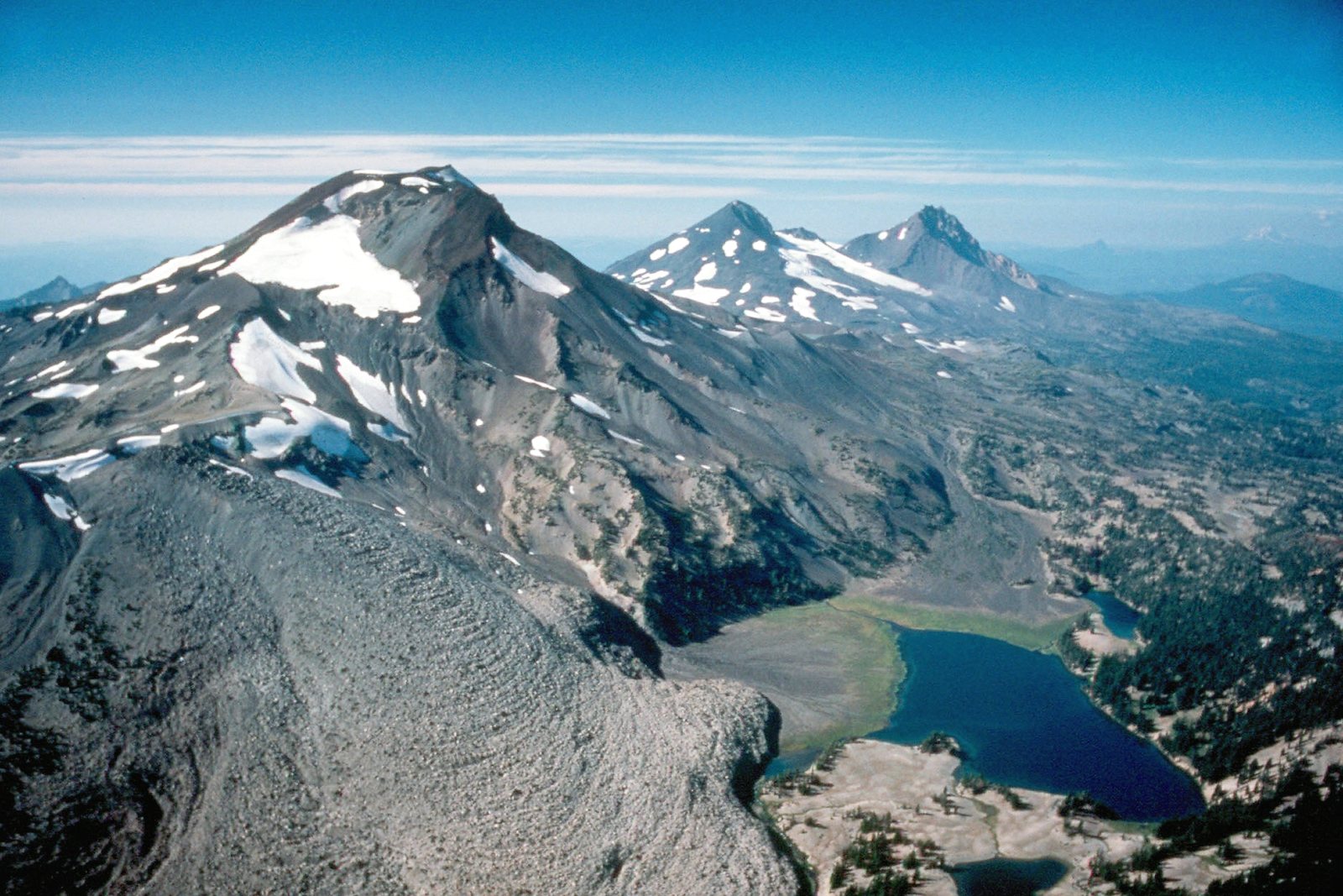 Plate XC
Three Sisters
volcanicWillamette & Deschutes National Forests, Oregon
Three volcanoes standing like siblings over a fir sea.
44.1° N · 121.8° WOpen plate →
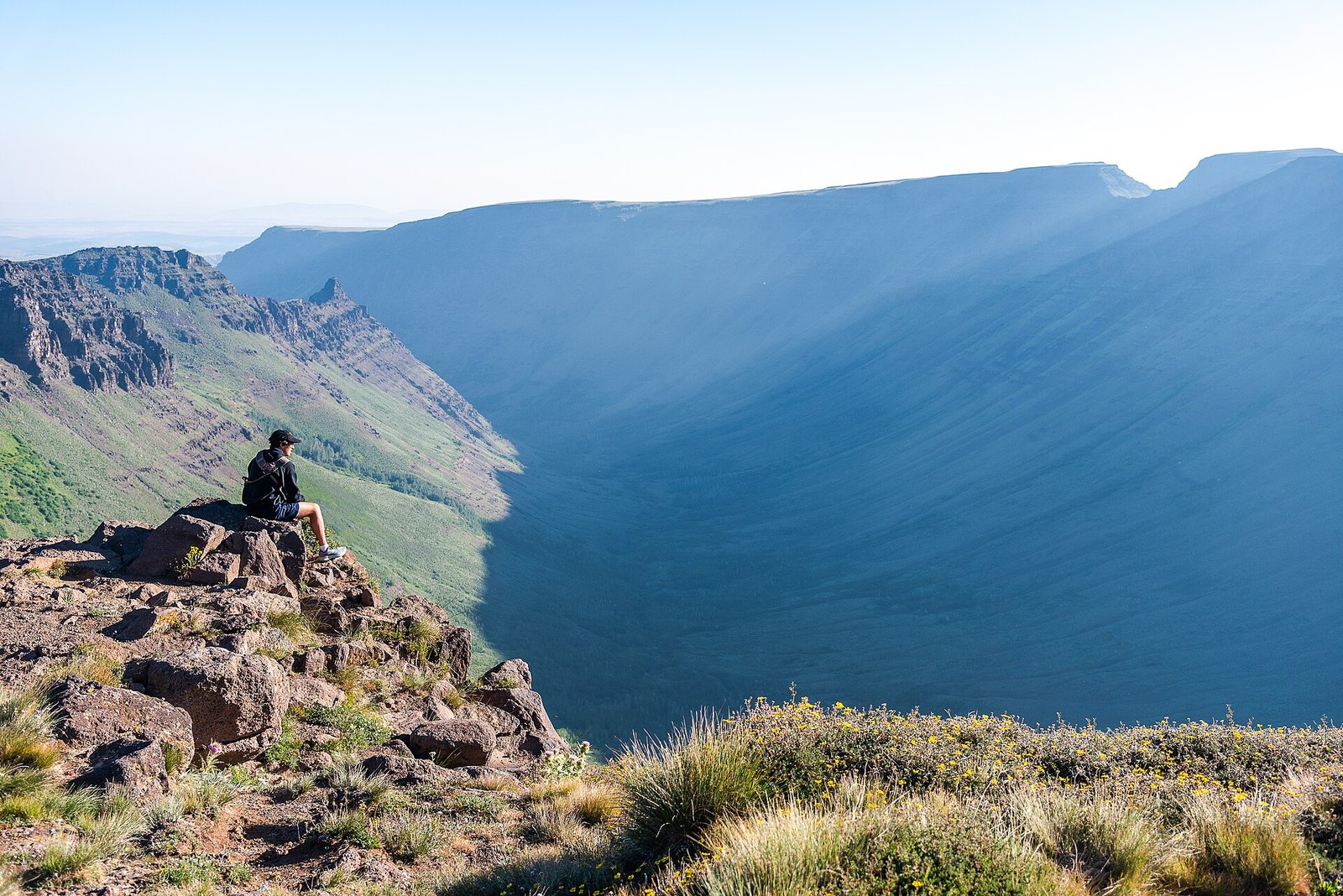 Plate CXXXI
Kiger Gorge
alpineSteens Mountain, Oregon
A gorge a glacier carved into a desert mountain.
42.7° N · 118.6° WOpen plate →
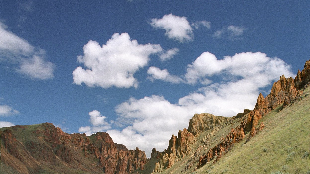 Plate CXXXII
Leslie Gulch
volcanicOwyhee Canyonlands, Oregon
A gulch that grew a skyline.
43.3° N · 117.3° WOpen plate →
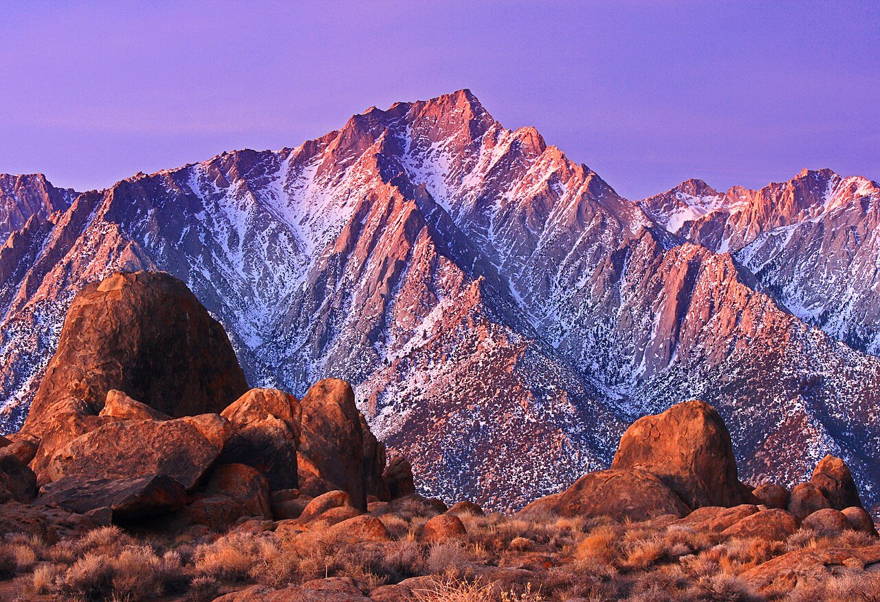 Plate CXXXV
Alabama Hills
hillsOwens Valley, below Mount Whitney, California
Granite that learned to sit still under the highest mountain.
36.6° N · 118.1° WOpen plate →
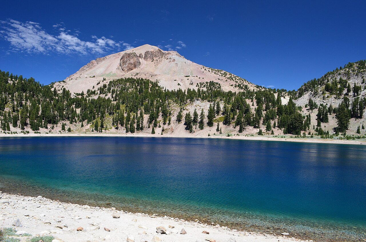 Plate CXXXVIII
Lassen
volcanicLassen Volcanic National Park, California
A mountain that still remembers how to boil.
40.5° N · 121.5° WOpen plate →
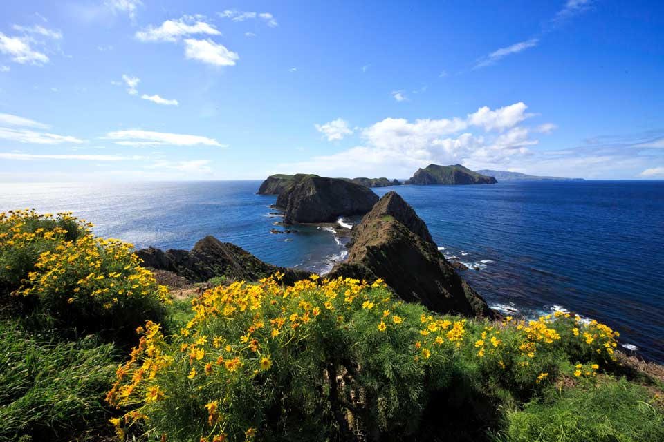 Plate CXXXIX
Channel Islands
coastAnacapa Island, off Ventura, California
The California that kept its wildness by sitting in the water.
34.0° N · 119.4° WOpen plate →
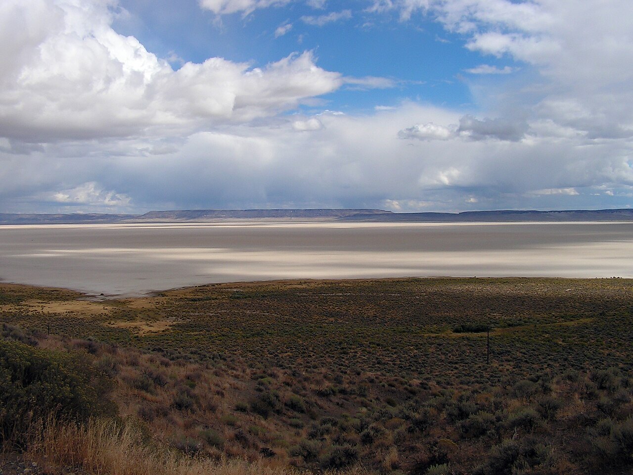 Plate CXLII
Alvord Desert
deserteast of Steens Mountain, Oregon
A white floor under Oregon’s secret escarpment.
42.5° N · 118.5° WOpen plate →
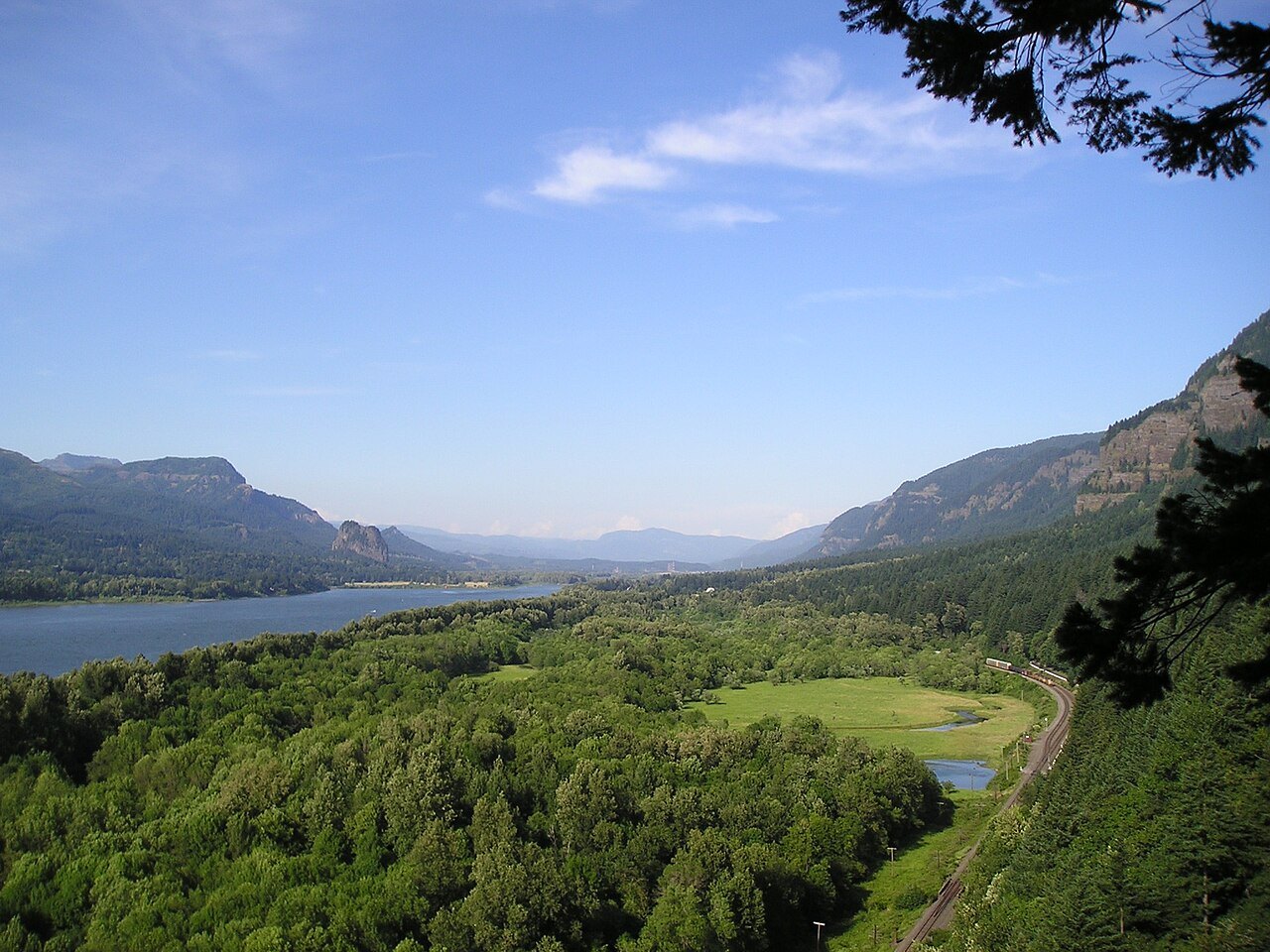 Plate CXLIV
Columbia Gorge
canyonColumbia River, Multnomah Falls to Rowena, Oregon / Washington
The river that opened the mountains to the sea.
45.6° N · 122.1° WOpen plate →
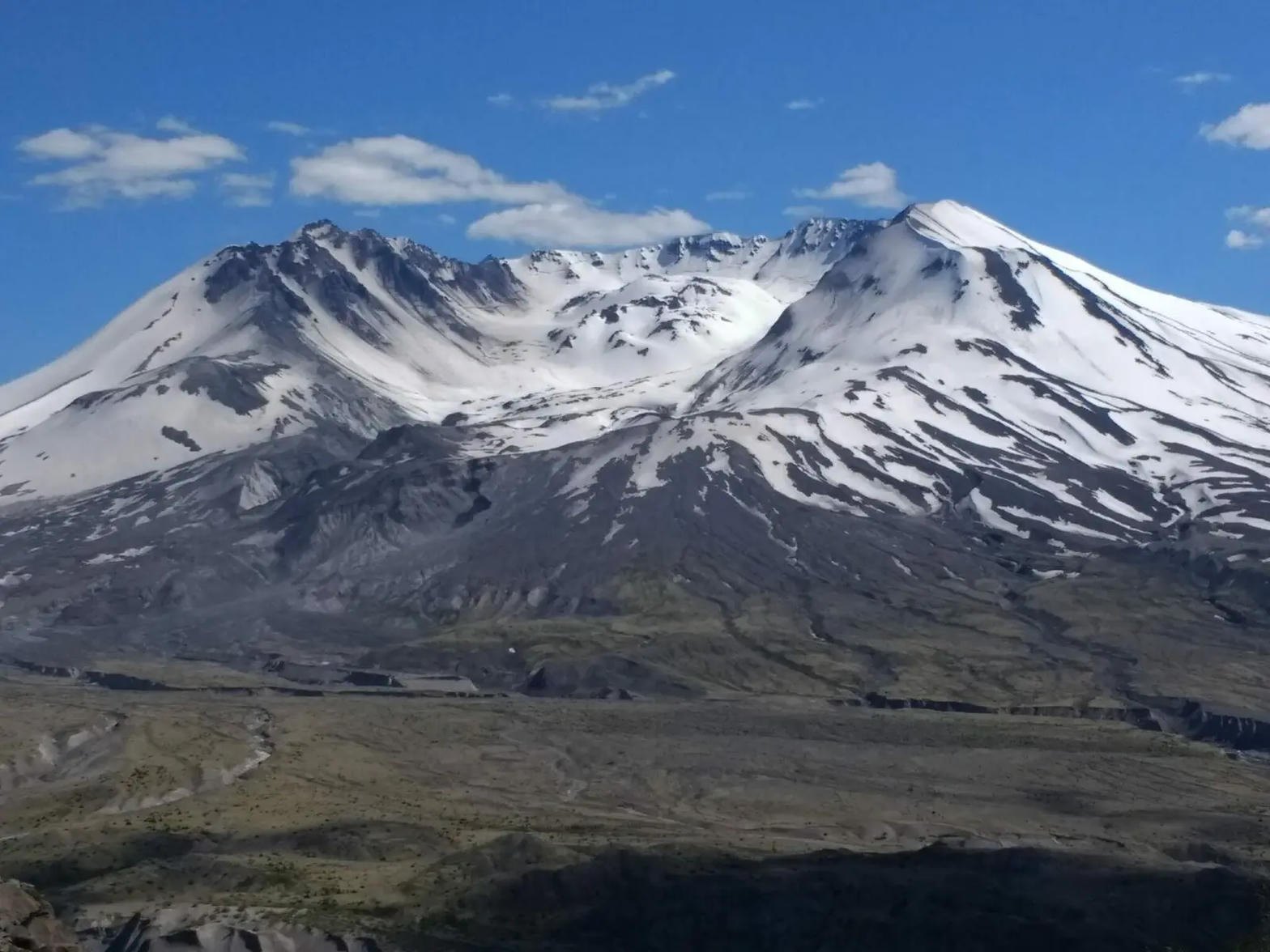 Plate CXLV
Mount St. Helens
volcanicJohnston Ridge, Gifford Pinchot, Washington
A mountain that took its own top off, and is still writing the sequel.
46.2° N · 122.2° WOpen plate →
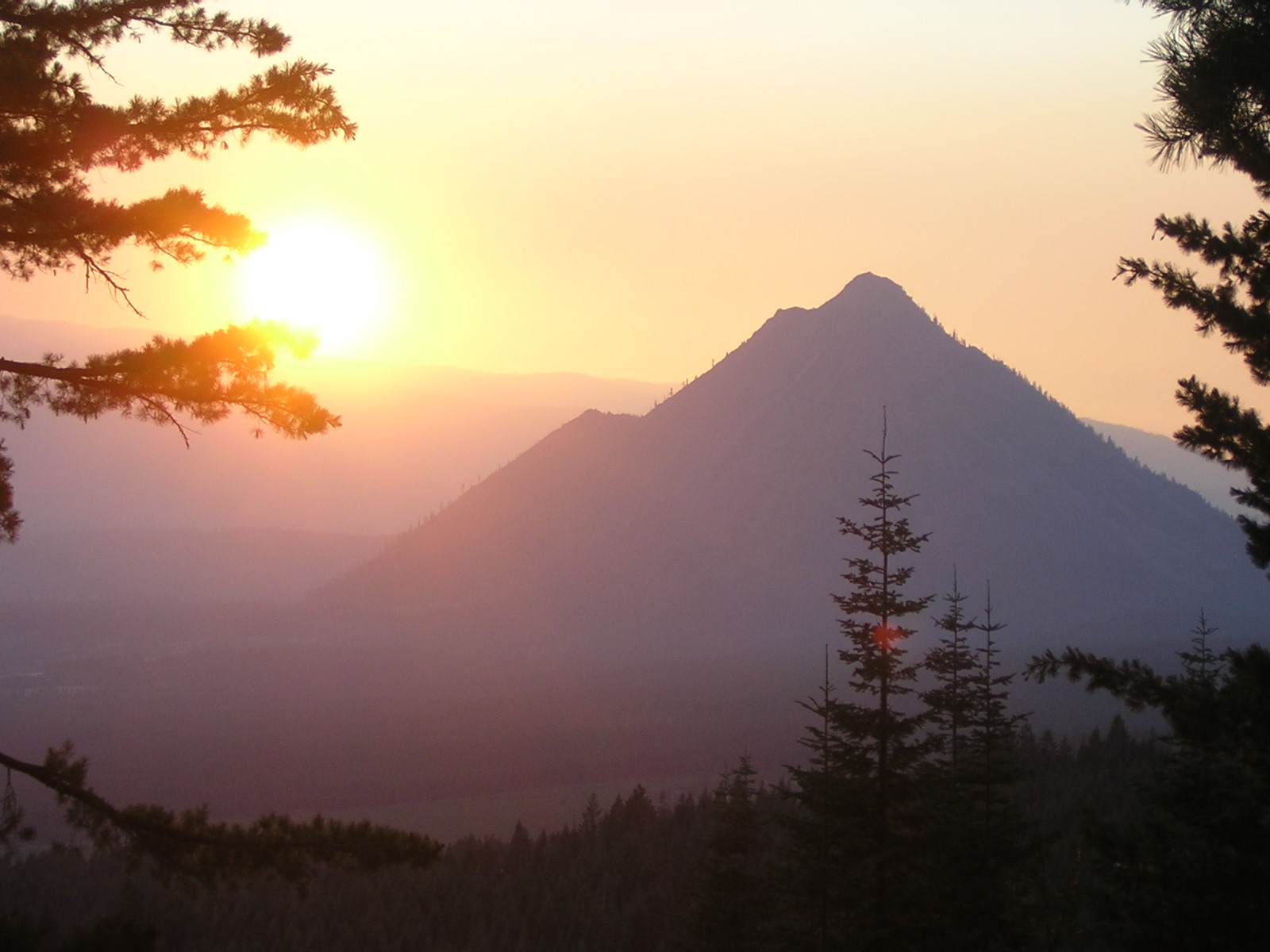 Plate CCXCII
Black Butte
volcanicShasta-Trinity NF, west of Weed, California
A dark cone the interstate looks at and keeps driving past.
41.4° N · 122.3° WOpen plate →
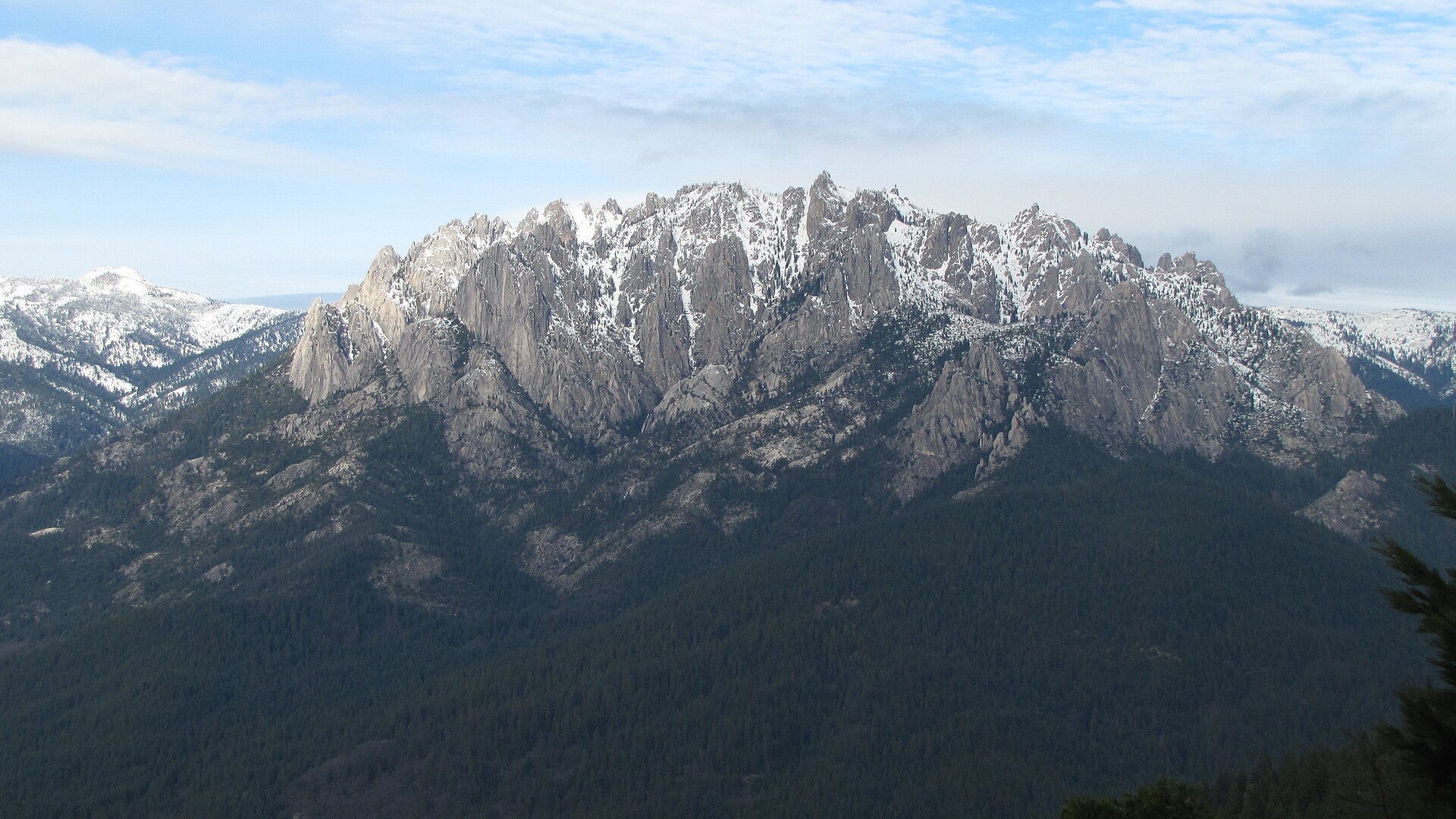 Plate CCXCIII
Castle Crags
hillsCastle Crags Wilderness, Shasta-Trinity NF, California
Granite towers the interstate only glances at.
41.2° N · 122.3° WOpen plate →
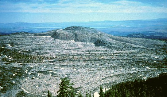 Plate CCXCIV
Medicine Lake
volcanicMedicine Lake Volcano, Modoc NF, California
A caldera lake the obsidian still keeps.
41.6° N · 121.6° WOpen plate →
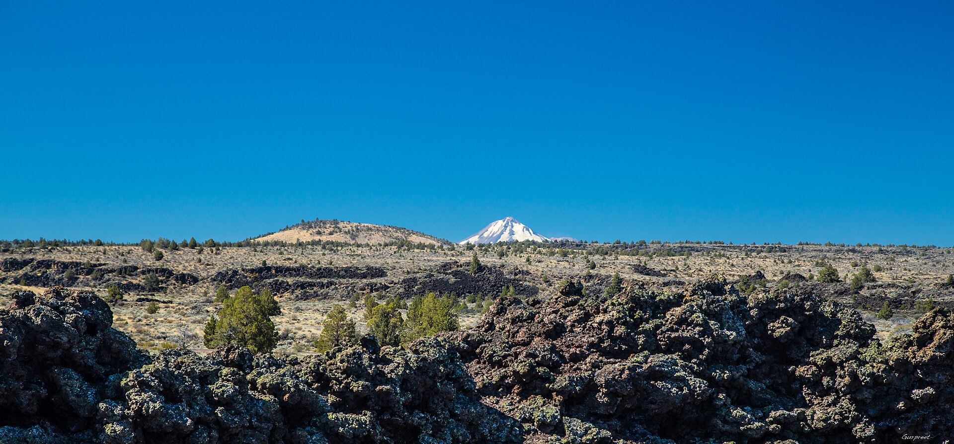 Plate CCXCV
Lava Beds
volcanicLava Beds National Monument, Modoc & Siskiyou, California
Black rock the tubes still keep cool.
41.7° N · 121.5° WOpen plate →
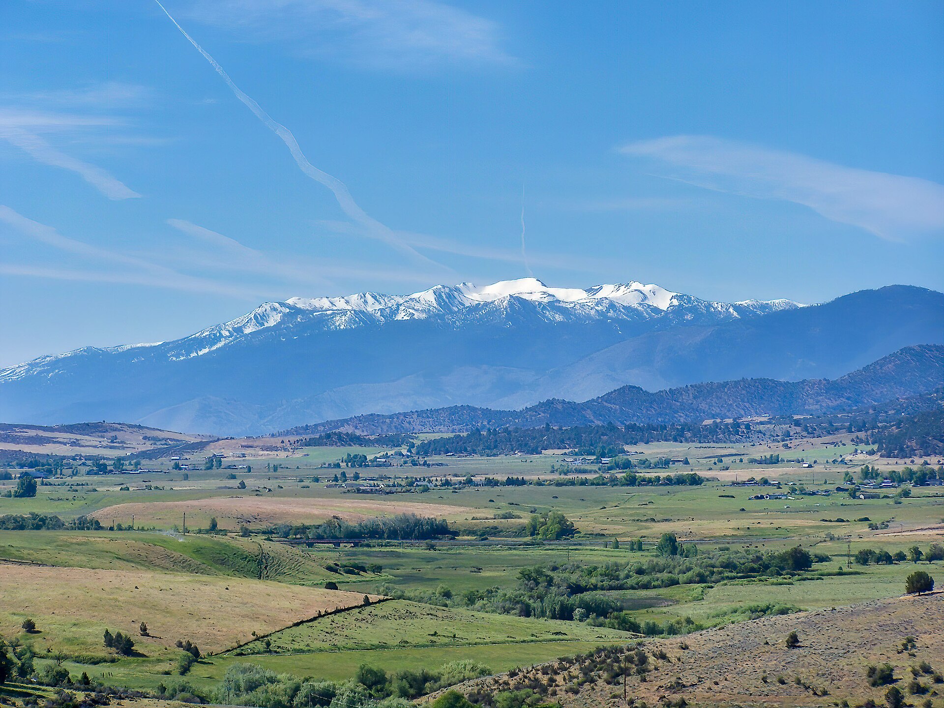 Plate CCXCVI
Mount Eddy
alpineTrinity Divide, Shasta-Trinity NF, California
The quiet mountain that looks back at Shasta.
41.3° N · 122.5° WOpen plate →
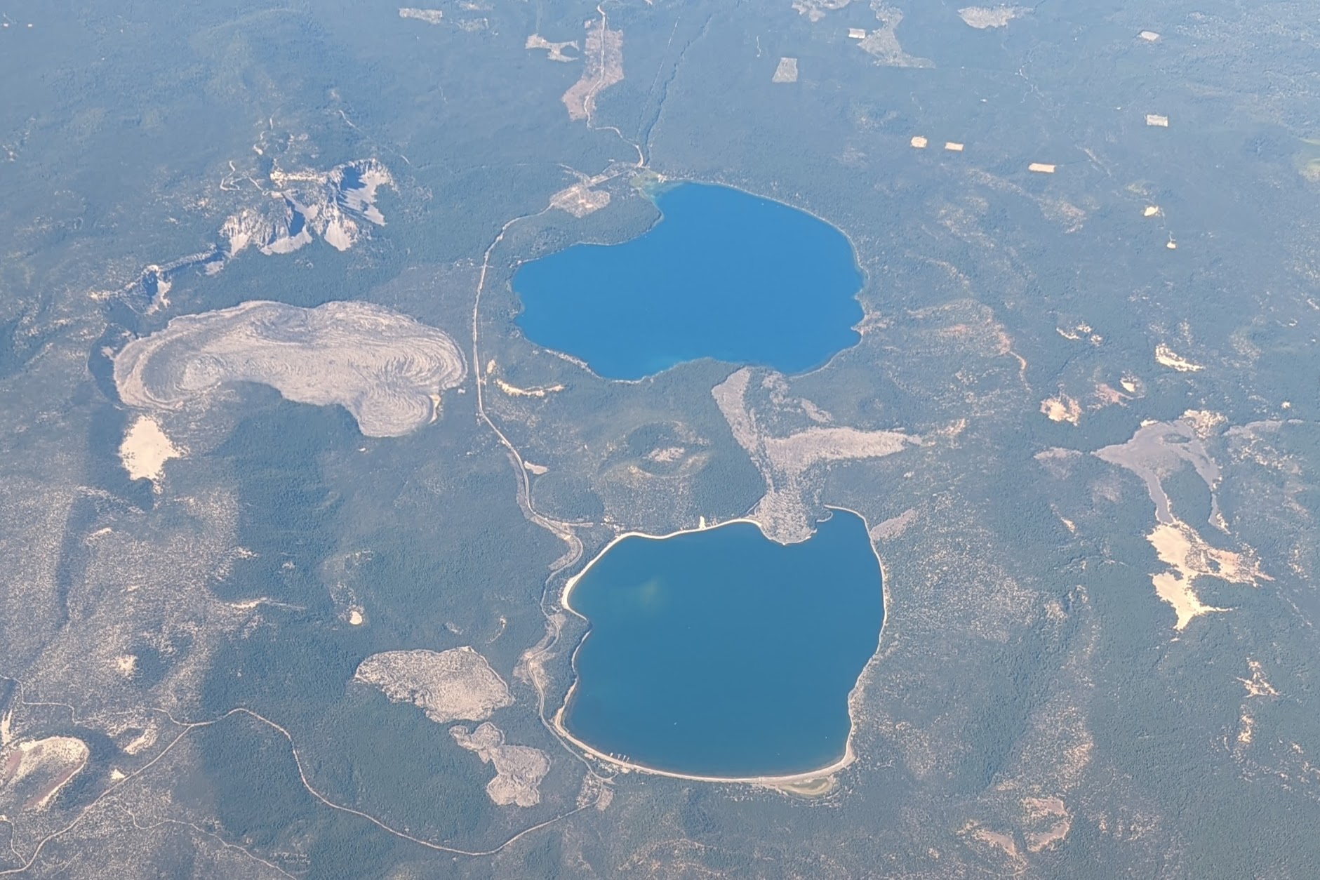 Plate CCXCVII
Newberry
volcanicNewberry National Volcanic Monument, Oregon
Two lakes in a caldera most people drive past.
43.7° N · 121.2° WOpen plate →
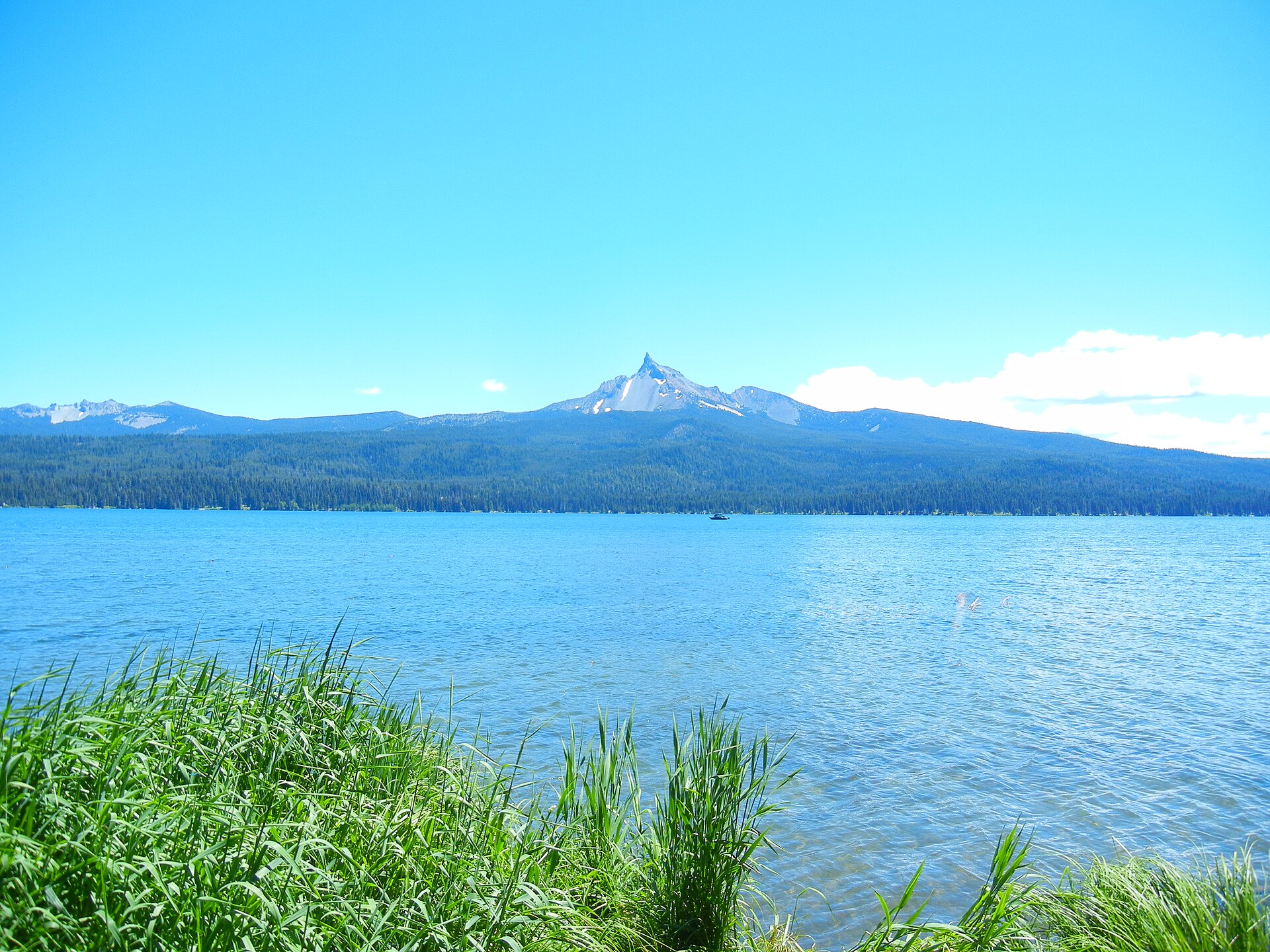 Plate CCXCVIII
Mount Thielsen
volcanicMount Thielsen Wilderness, Umpqua NF, Oregon
A stone needle the lake still looks at.
43.2° N · 122.1° WOpen plate →
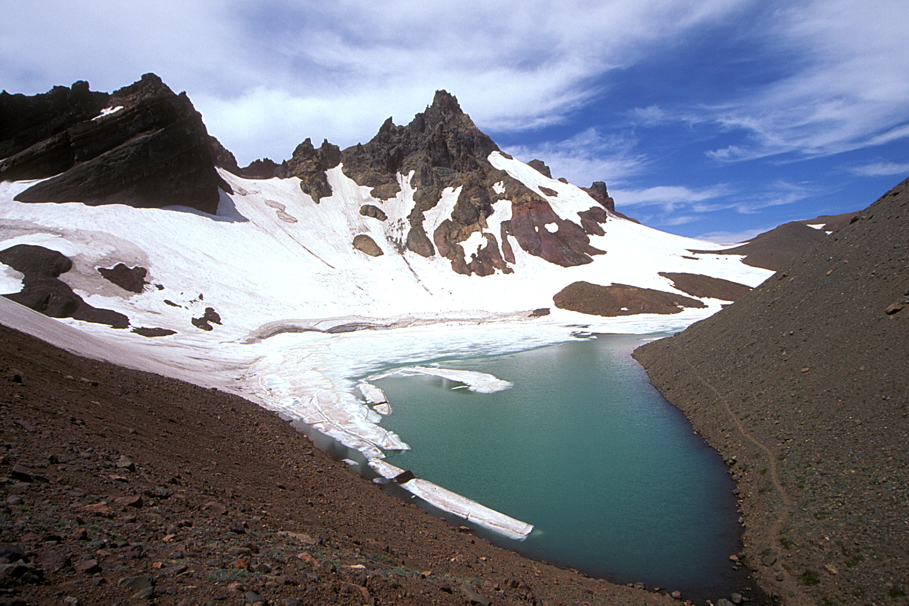 Plate CCXCIX
Broken Top
volcanicThree Sisters Wilderness, Deschutes NF, Oregon
A broken summit the wilderness still keeps.
44.1° N · 121.7° WOpen plate →
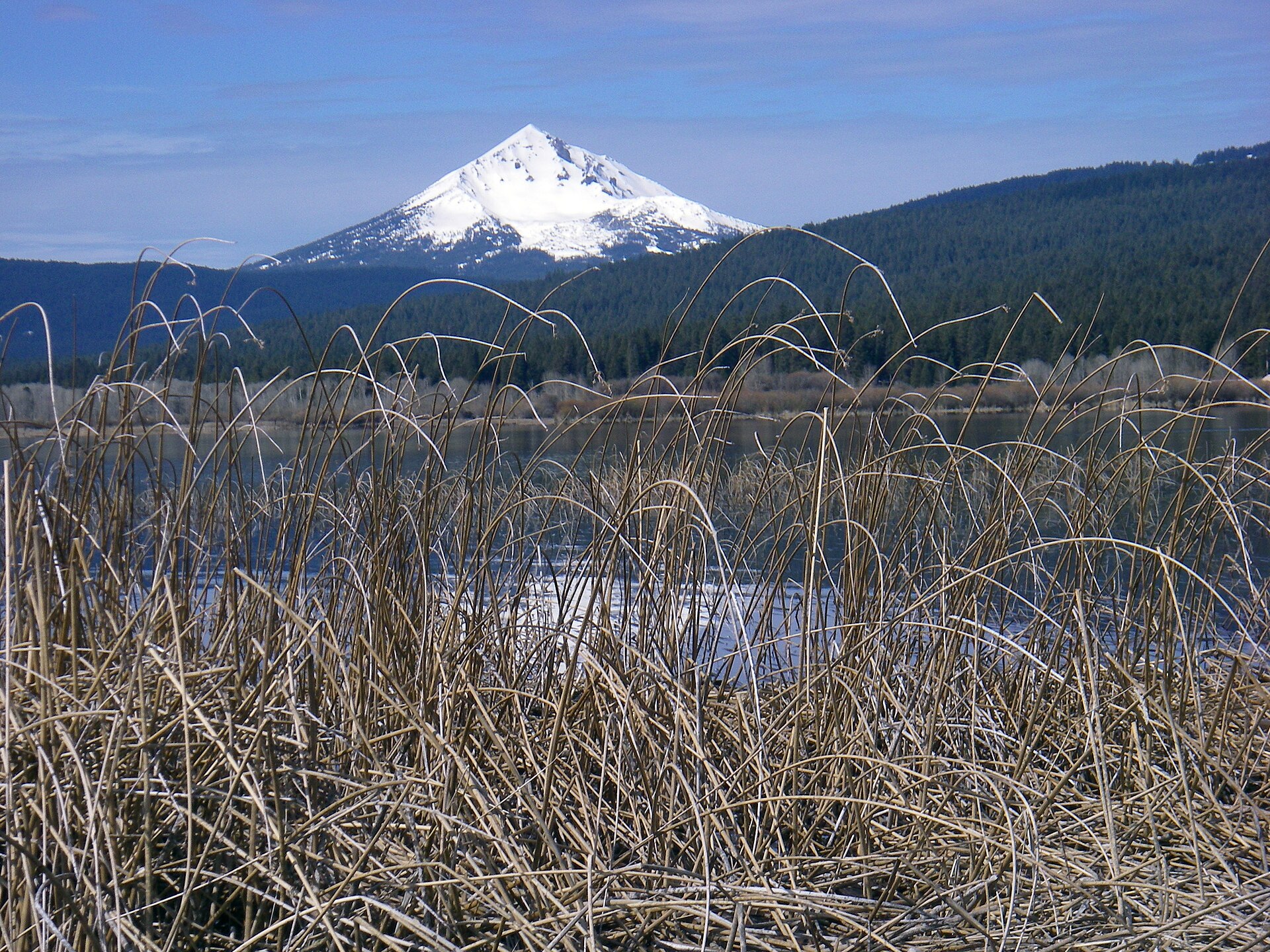 Plate CCC
Mount McLoughlin
volcanicSky Lakes Wilderness, Fremont-Winema NF, Oregon
The quiet cone between Shasta and Crater Lake.
42.4° N · 122.3° WOpen plate →
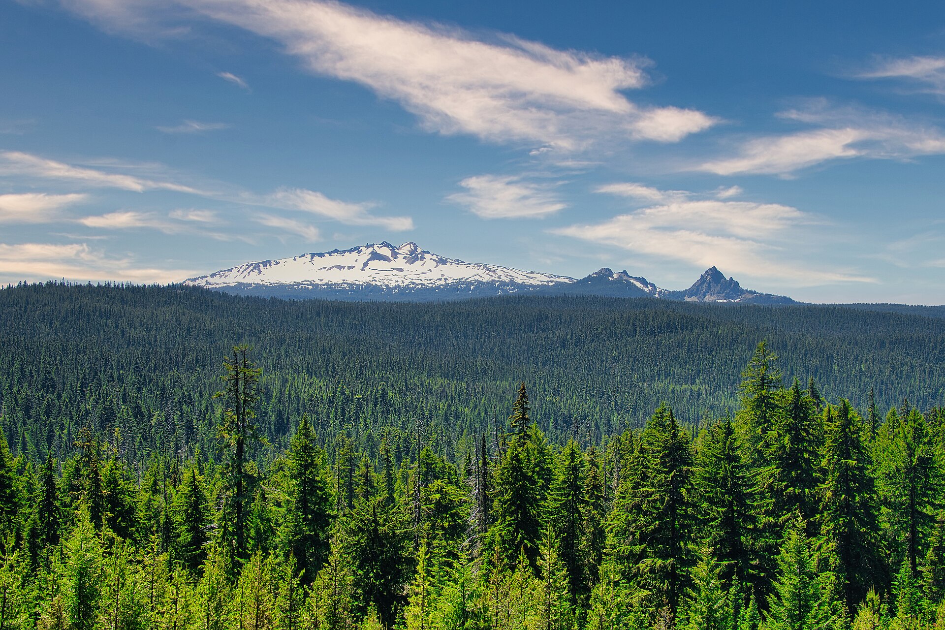 Plate CCCI
Diamond Peak
volcanicDiamond Peak Wilderness, Willamette & Deschutes NF, Oregon
A white roof the fir sea still hides.
43.5° N · 122.1° WOpen plate →
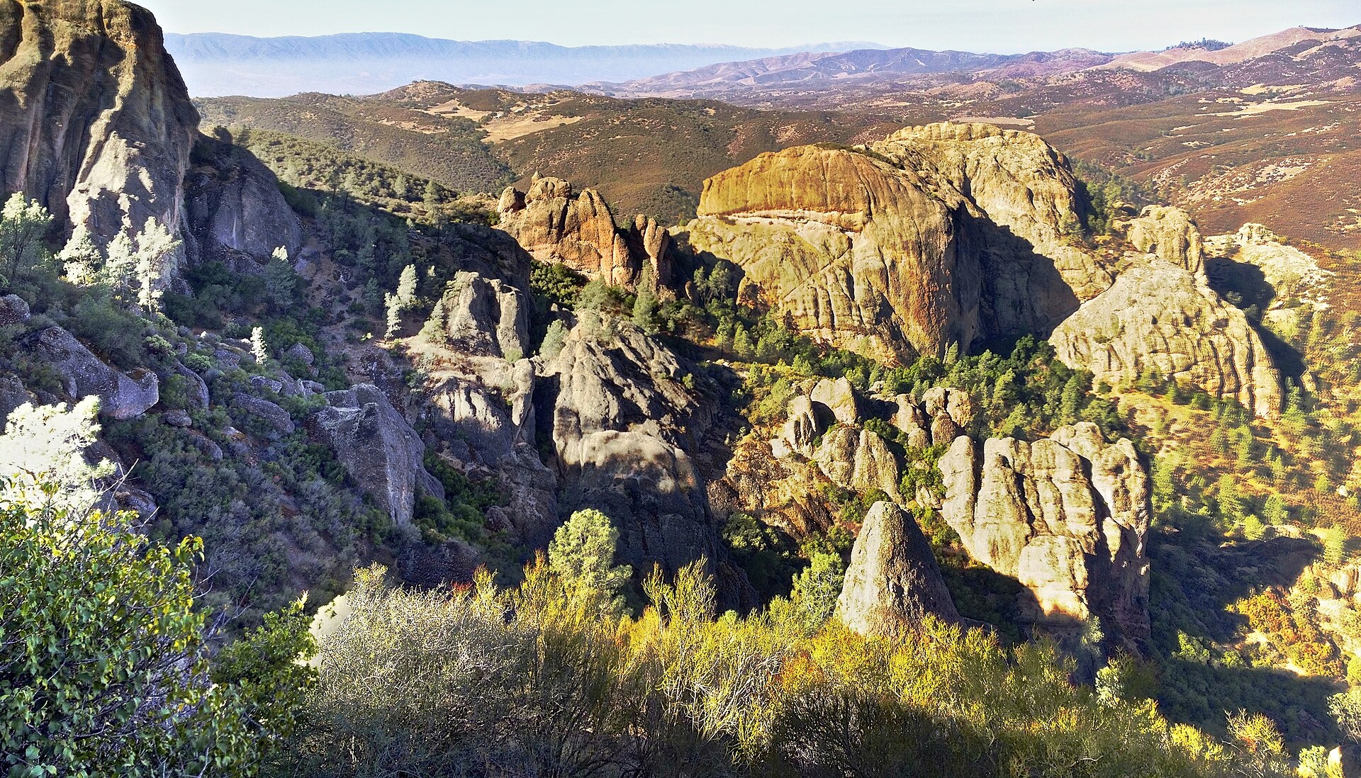 Plate CCCIV
Pinnacles
volcanicPinnacles National Park, Gabilan Range, California
Rhyolite High Peaks over chaparral.
36.5° N · 121.2° WOpen plate →
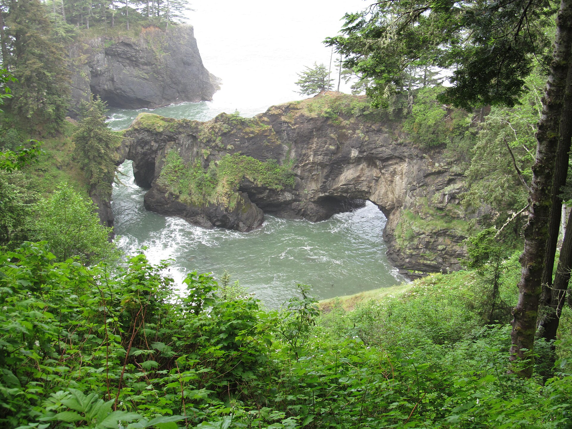 Plate CCCVII
Samuel H. Boardman
coastSamuel H. Boardman State Scenic Corridor, Oregon
Sea arches in a green Oregon cove.
42.2° N · 124.4° WOpen plate →
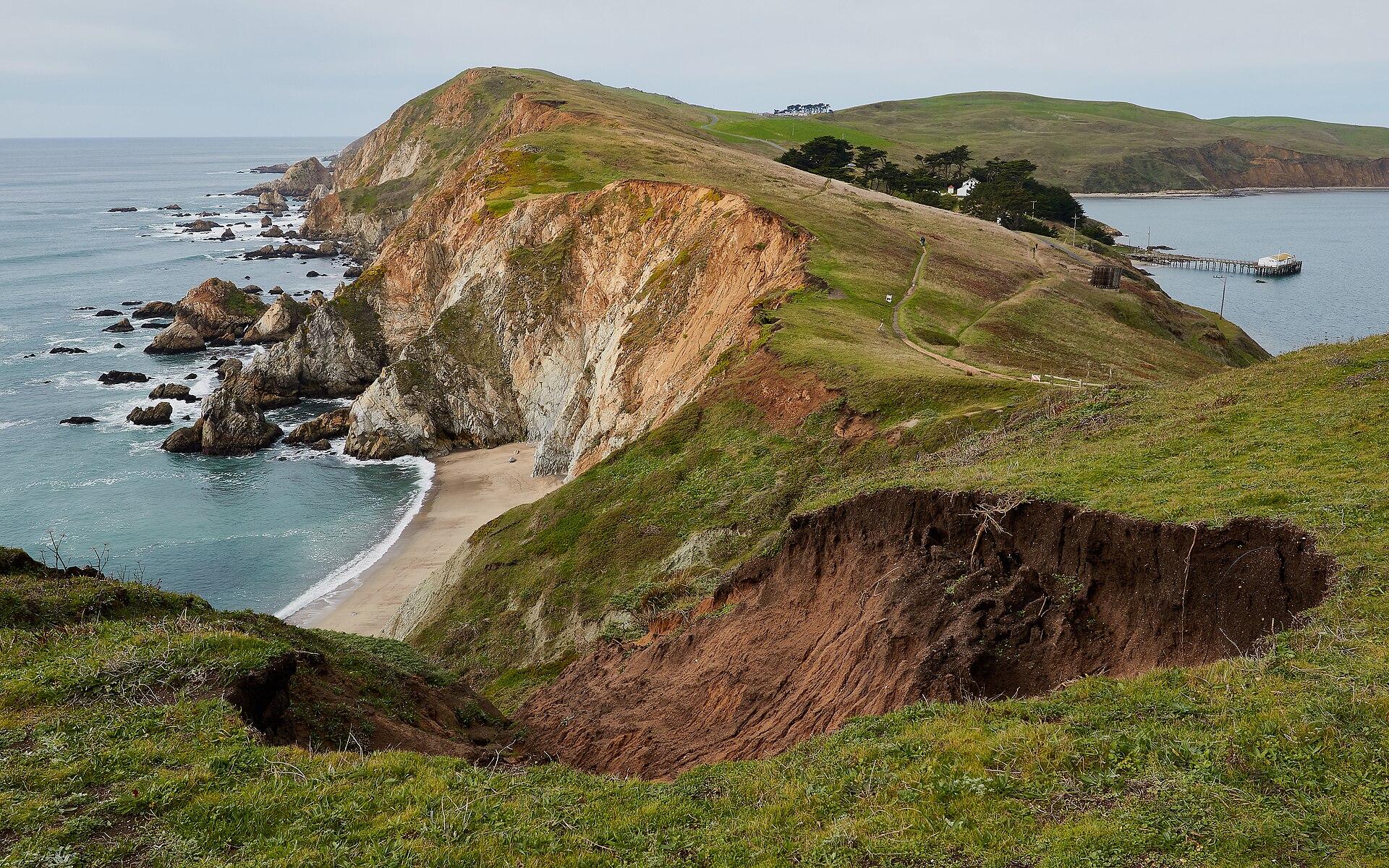 Plate CCCVIII
Point Reyes
coastPoint Reyes National Seashore, Marin, California
A headland that still feels like the continent’s end.
38.0° N · 123.0° WOpen plate →
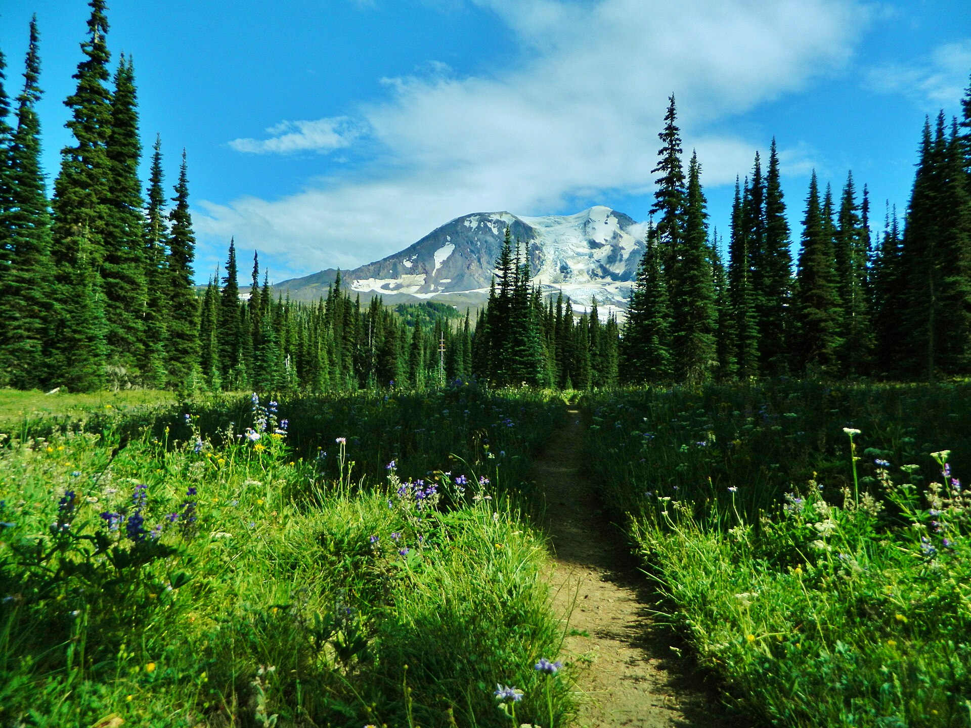 Plate CCCXIII
Mount Adams
volcanicMount Adams Wilderness, Gifford Pinchot NF, Washington
A white cone over Bird Creek Meadows.
46.2° N · 121.5° WOpen plate →
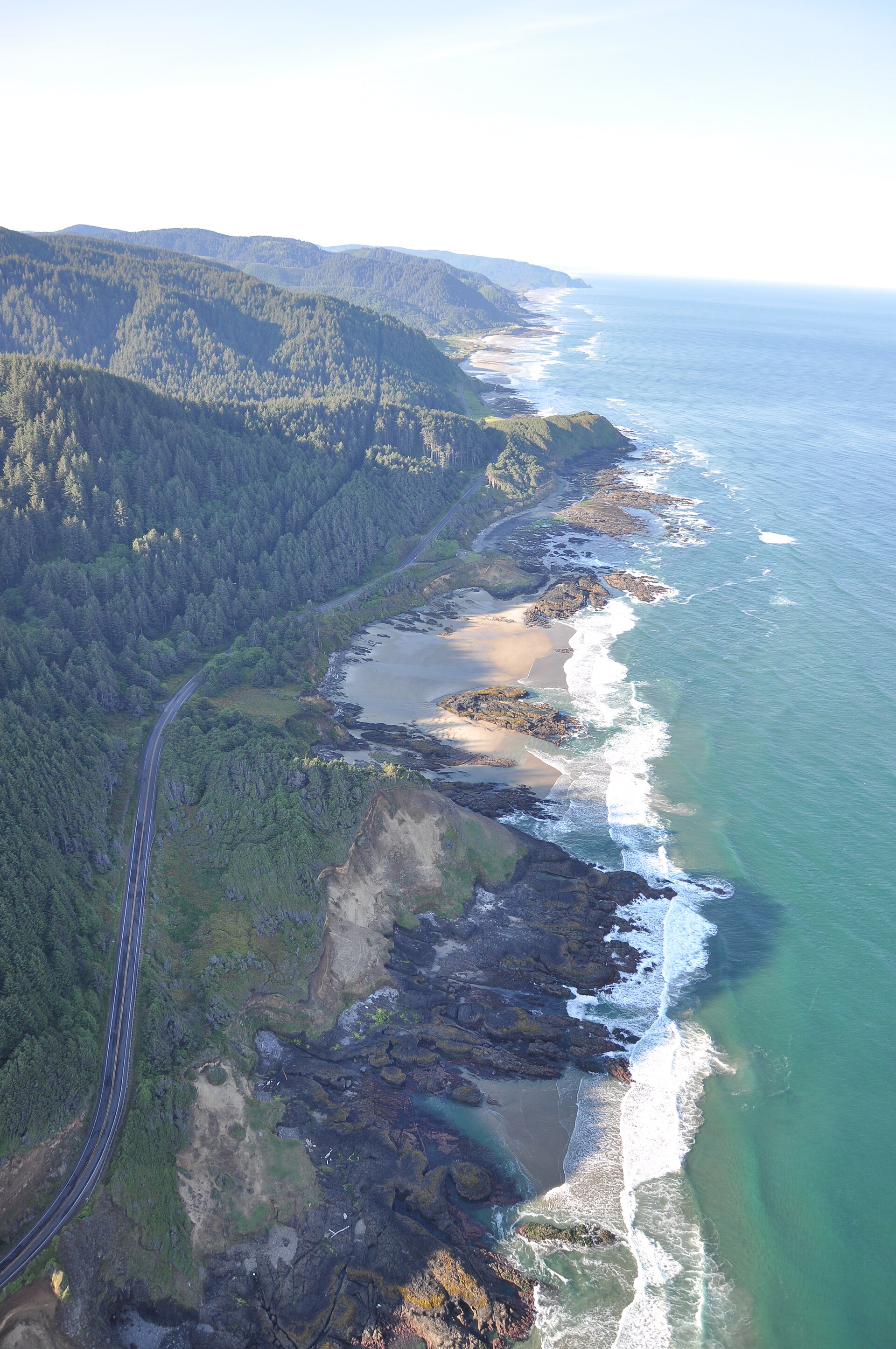 Plate CCCXVII
Cape Perpetua
coastCape Perpetua Scenic Area, Siuslaw NF, Oregon
Fir headlands running south into a white sea.
44.3° N · 124.1° WOpen plate →
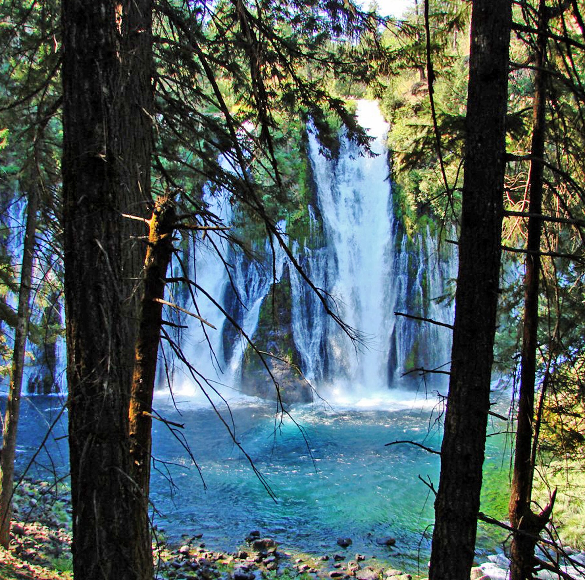 Plate CCCXX
Burney Falls
forestMcArthur-Burney Falls Memorial State Park, California
Spring water falling into a teal bowl.
41.0° N · 121.7° WOpen plate →
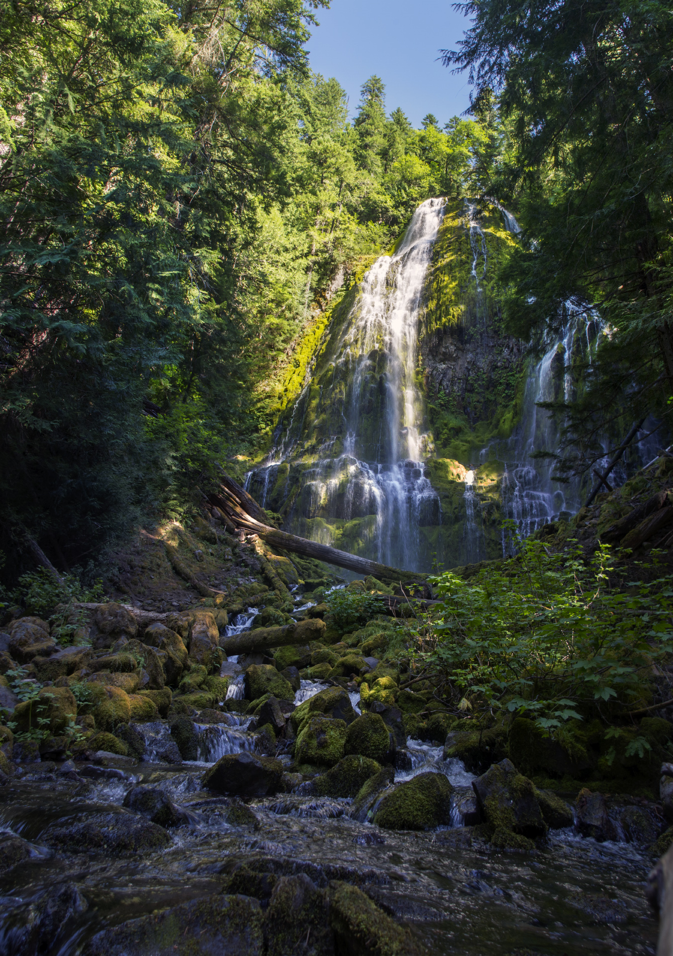 Plate CCCXXI
Proxy Falls
forestThree Sisters Wilderness, Willamette NF, Oregon
White threads on a green lava wall.
44.2° N · 121.9° WOpen plate →
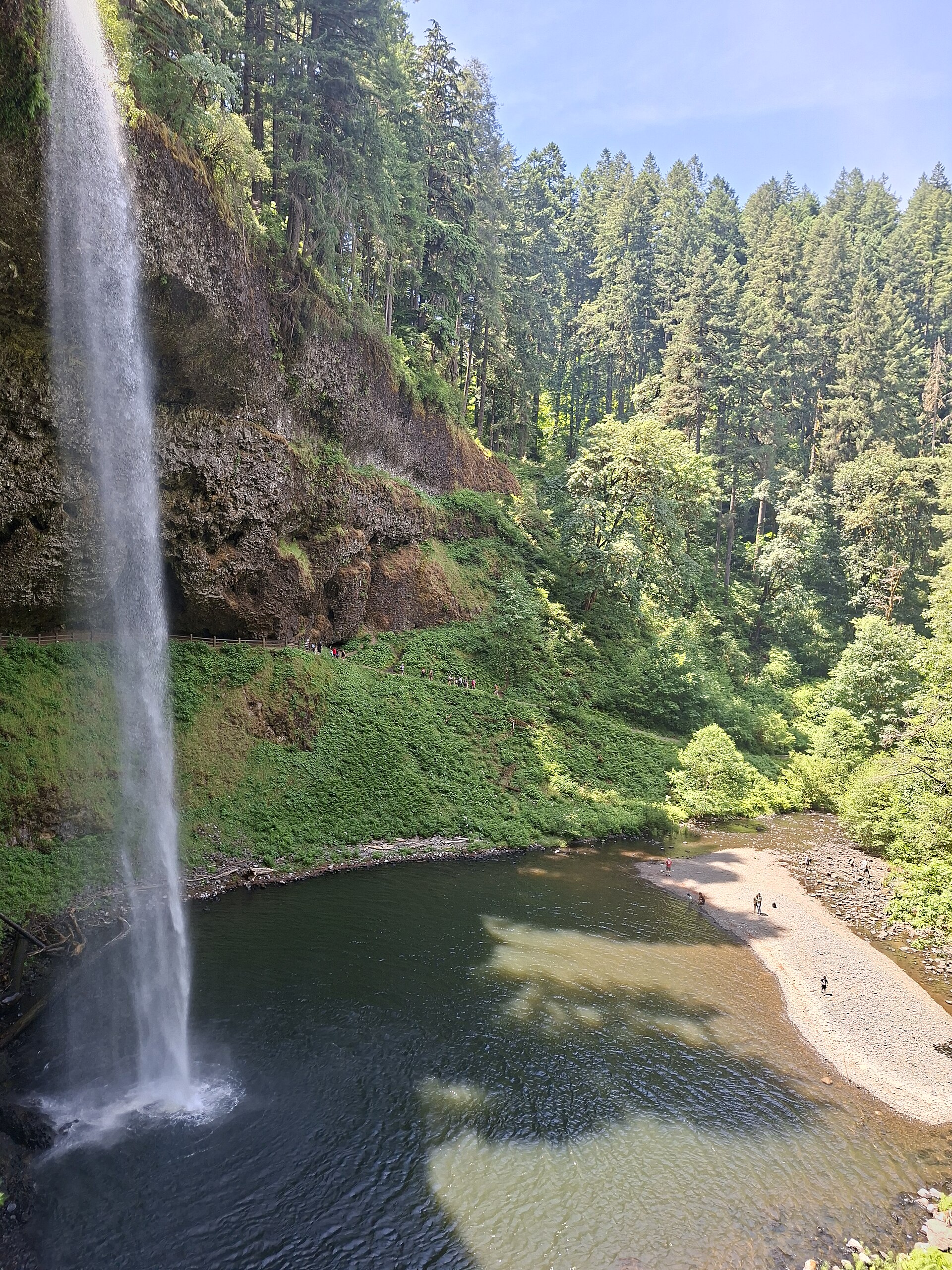 Plate CCCXXII
Silver Falls
forestSilver Falls State Park, near Silverton, Oregon
A long white drop into a fir canyon.
44.9° N · 122.7° WOpen plate →
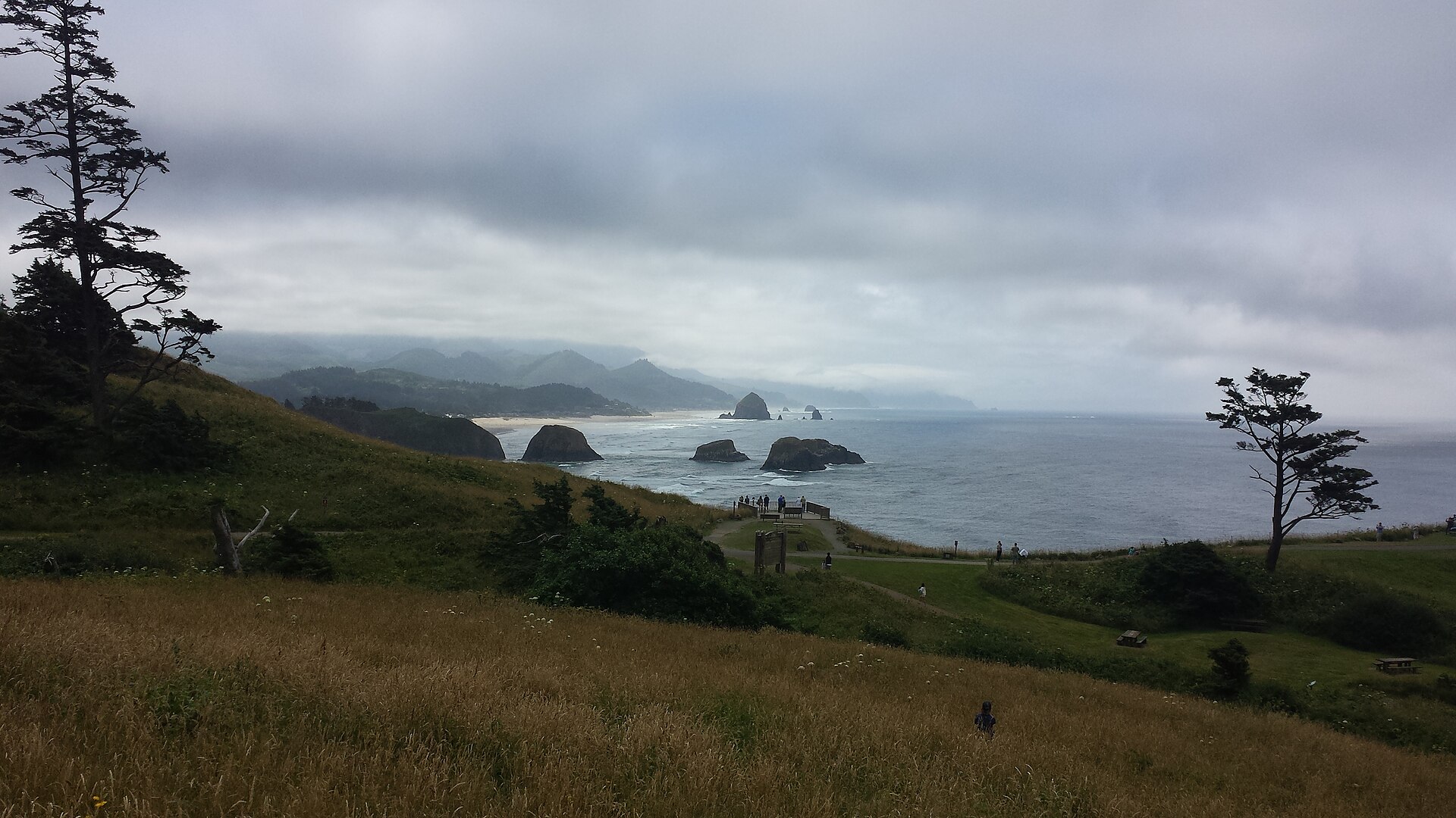 Plate CCCXXIV
Ecola
coastEcola State Park, Tillamook Head, Oregon
Spruce headlands and a black rock in a gray sea.
45.9° N · 124.0° WOpen plate →
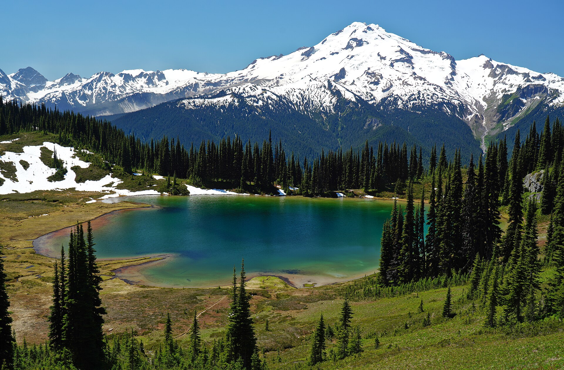 Plate CCCL
Image Lake
alpineMiners Ridge, Glacier Peak Wilderness, Washington
A tarn holding Glacier Peak.
48.2° N · 121.0° WOpen plate →
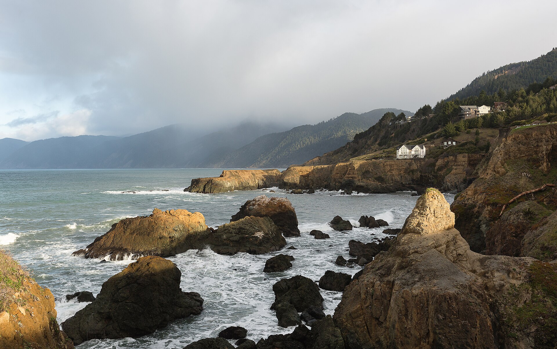 Plate CCCLV
King Range
coastLost Coast, King Range National Conservation Area, California
California’s roadless coast.
40.0° N · 124.1° WOpen plate →
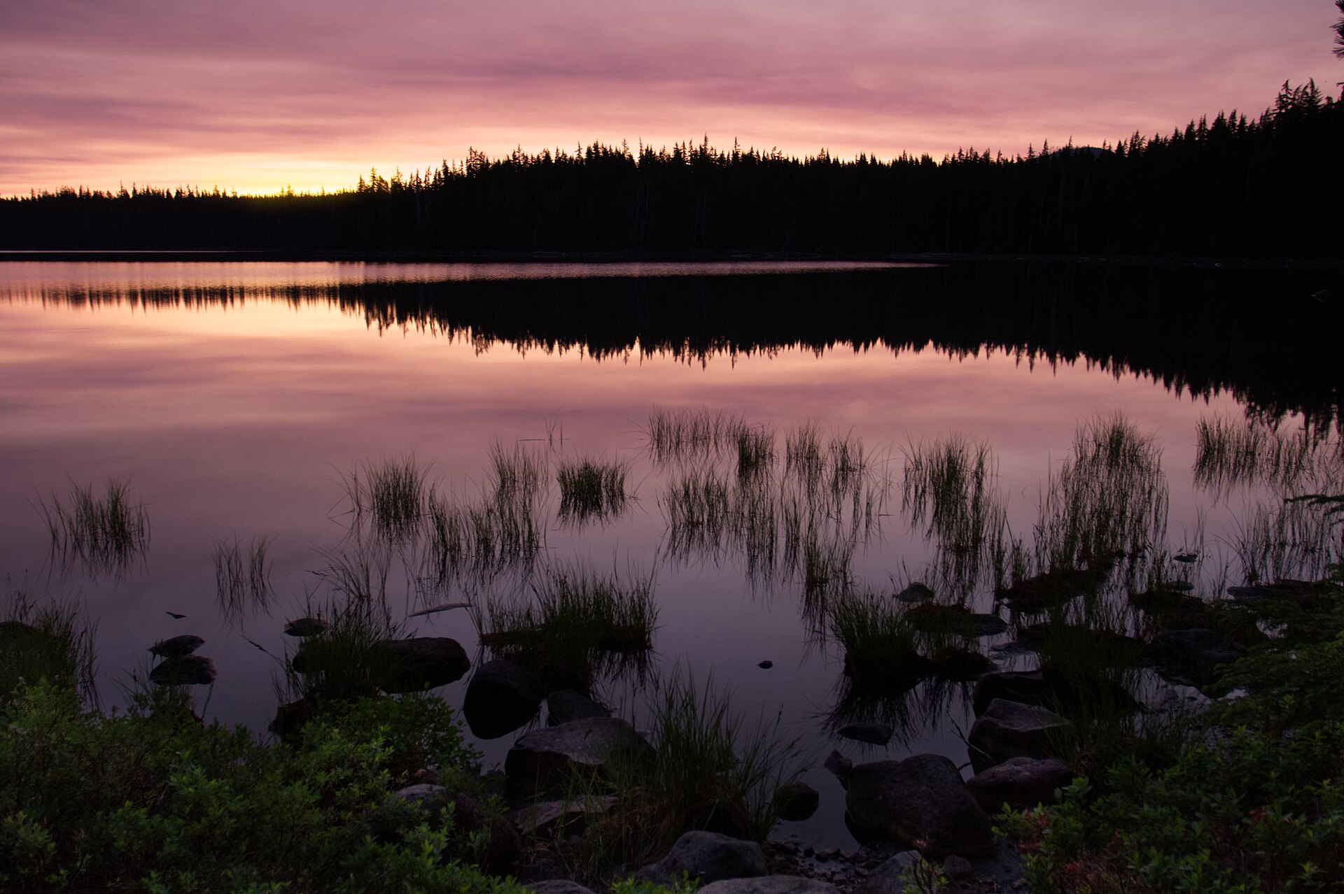 Plate CCCLX
Waldo Lake
alpineWillamette National Forest, Lane County, Oregon
A clear Cascade lake the highways miss.
43.7° N · 122.0° WOpen plate →
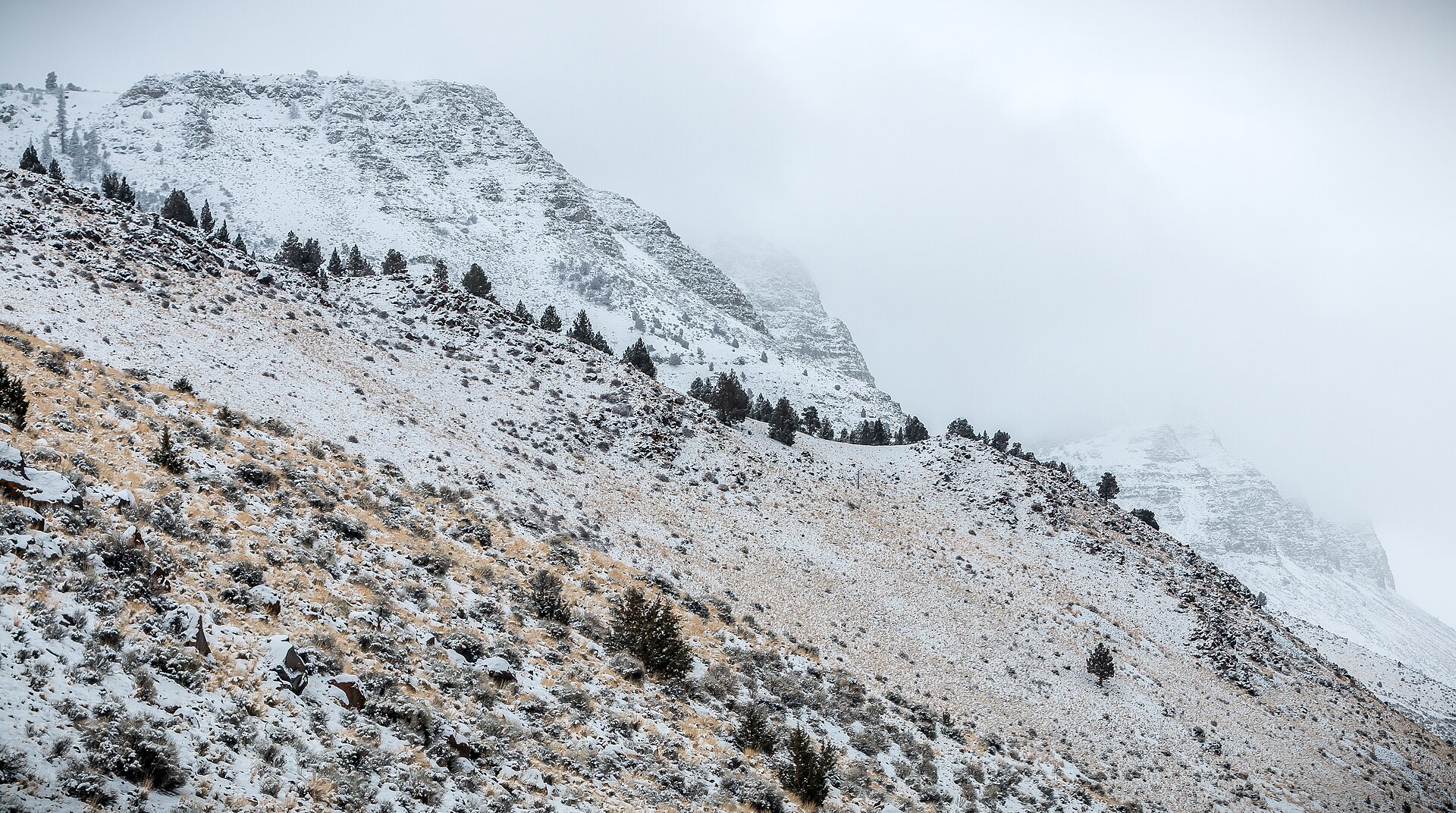 Plate CCCLXI
Abert Rim
hillsLake County, Highway 395, Oregon
The long rim over a bitter Great Basin lake.
42.6° N · 120.2° WOpen plate →
Asked at the trailhead
Questions already asked
- Where should I go for Pacific nature travel?
- California and the Pacific Northwest hold most plates here: coasts, forests, and volcanic cones. For quieter fire country, start at Black Butte and Castle Crags near Shasta, then Medicine Lake, Lava Beds, Newberry, Thielsen, and Broken Top. Open the Pacific index and follow the chart north or south.
Change course