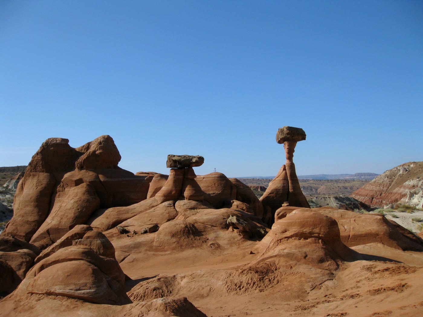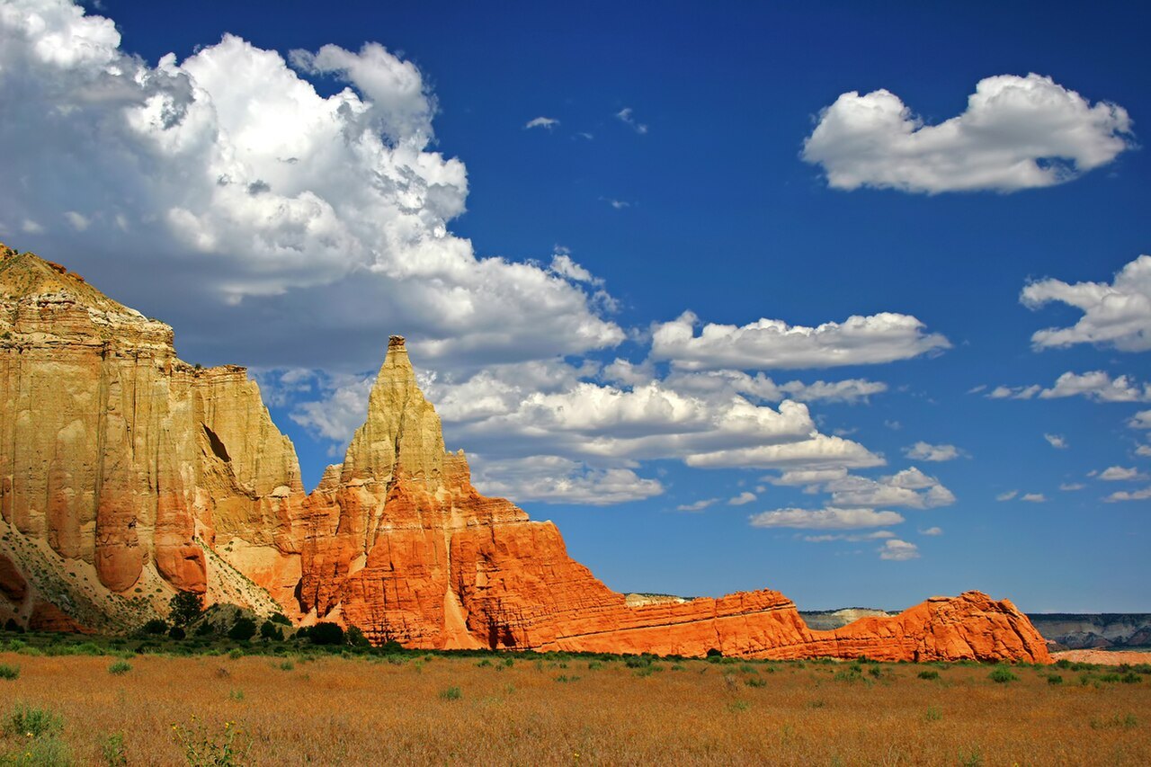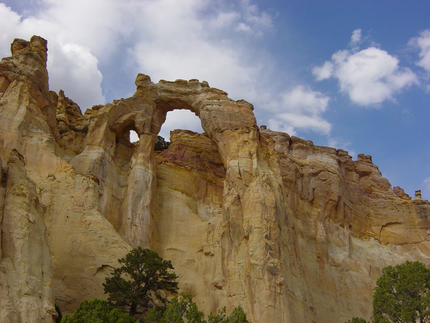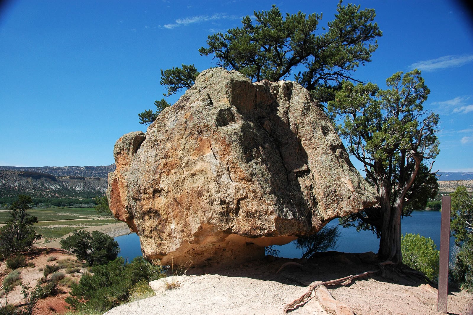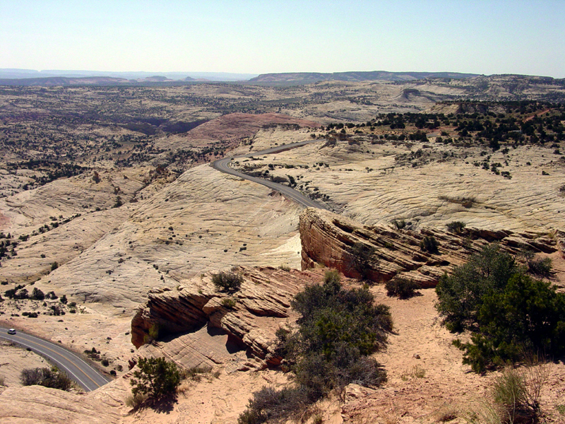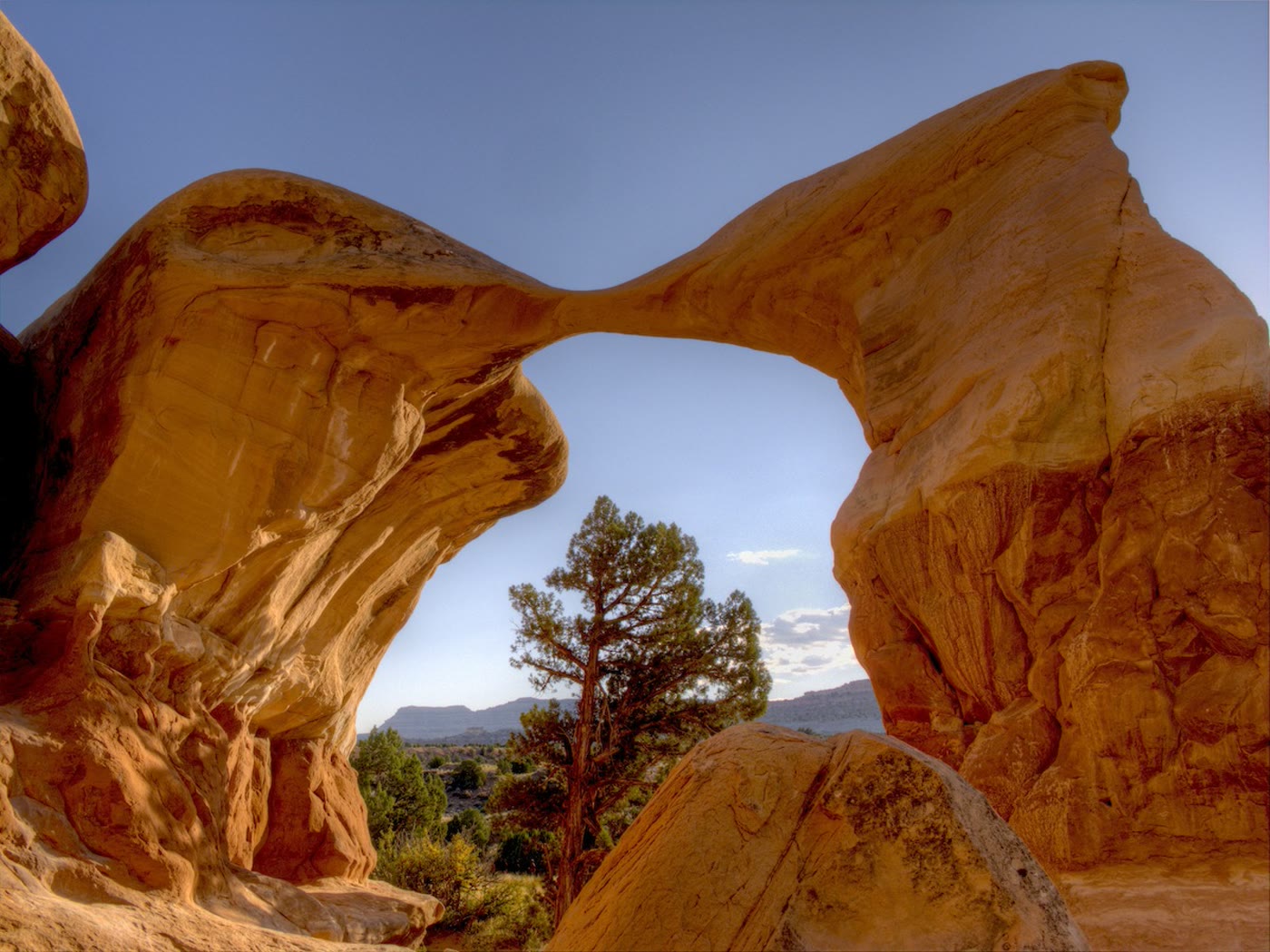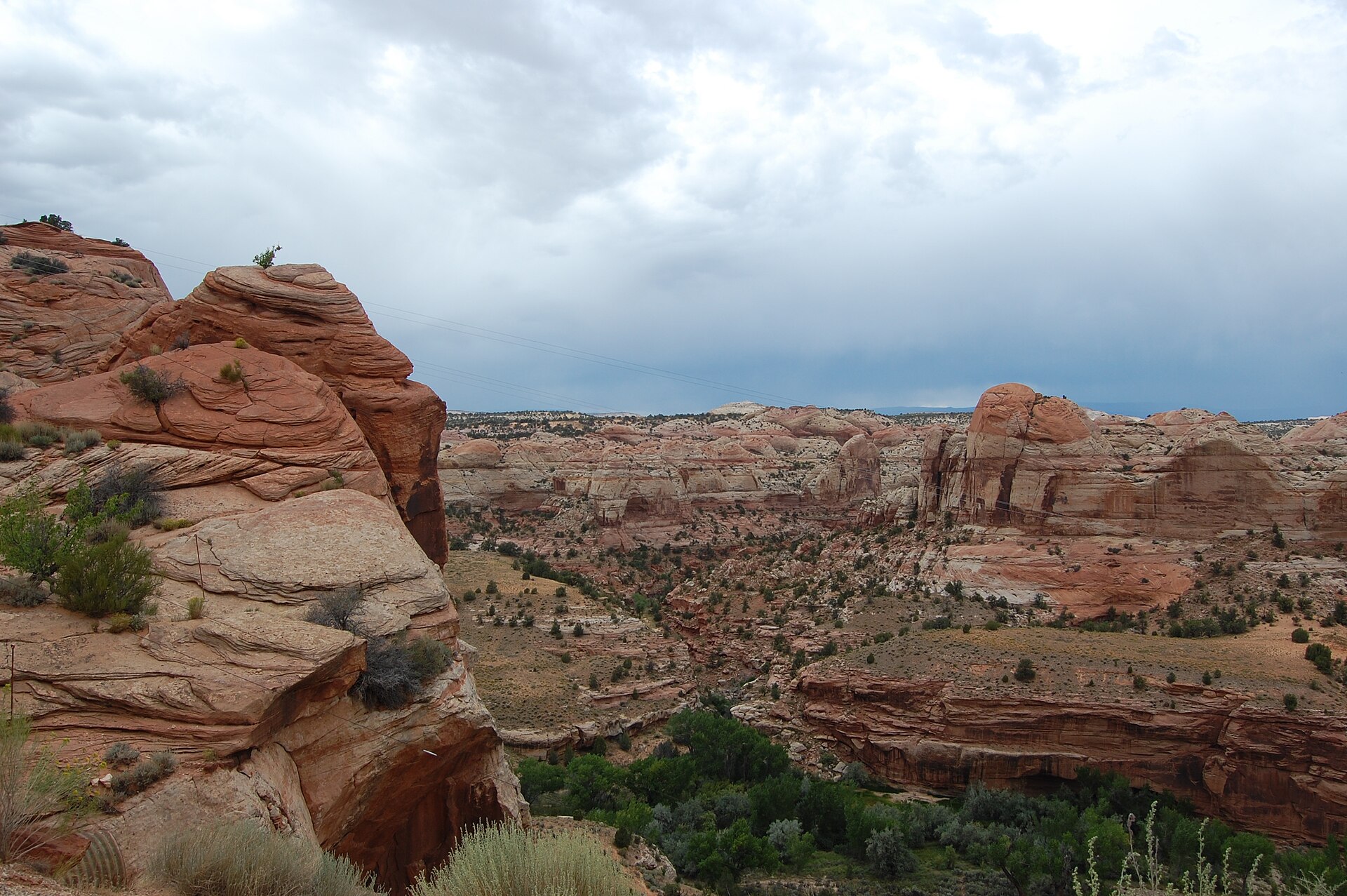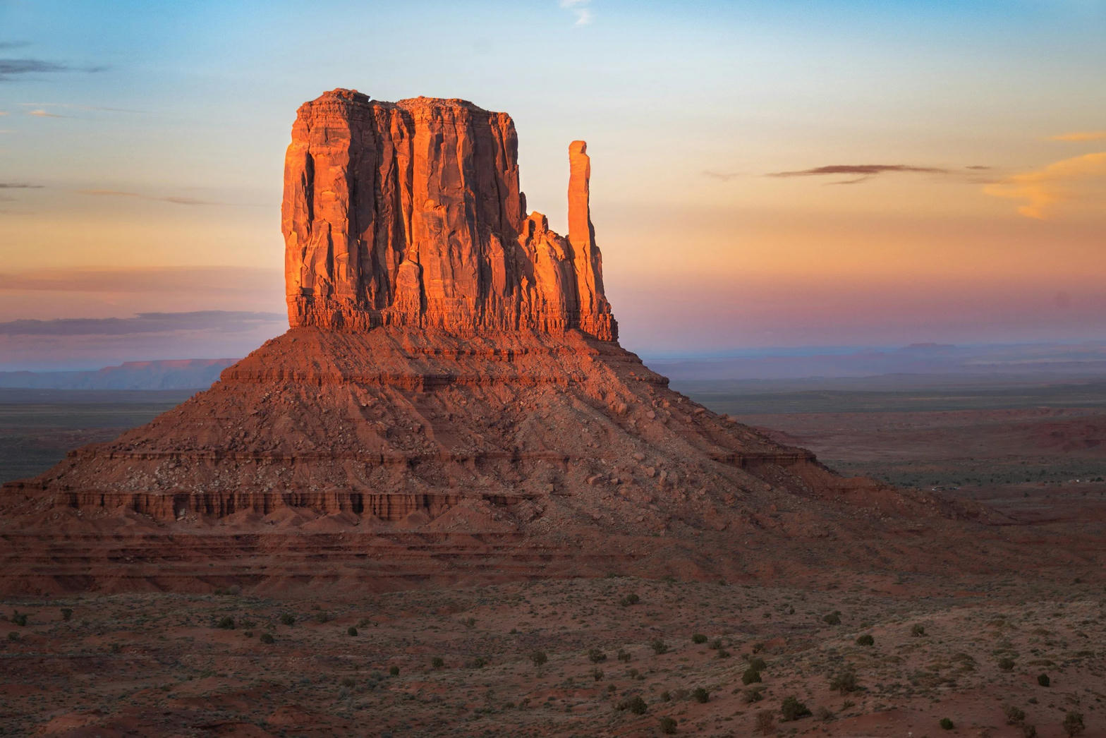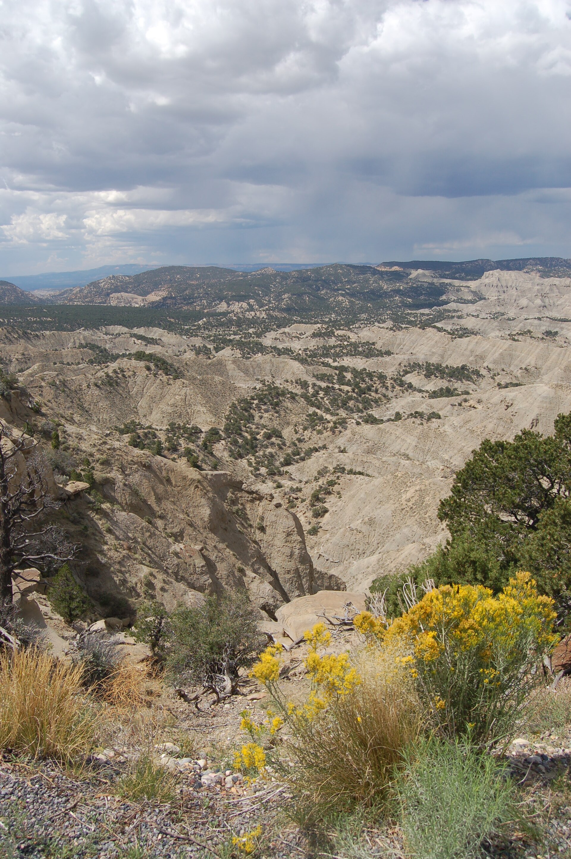
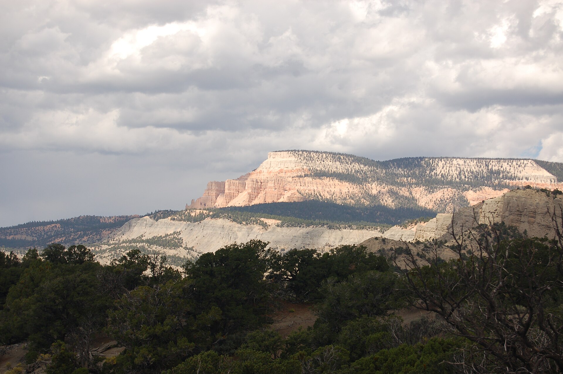
Fig. 1Tropic Shale badlands from The Blues Overlook
Photo: A. E. Crane, U.S. Department of Transportation · Public domain
Landform
A Highway 12 wayside over Tropic Shale badlands — gray-blue hills under Powell Point, not the Escalante slickrock east of town.
Field note
The BLM Blues Overlook Wayside sits seventeen miles west of Escalante on Highway 12. The Blues are Tropic Shale. Powell Point stands pink and white above the gray. This plate is The Blues Overlook, not Head of the Rocks and not Kodachrome.
The Blues Overlook is the BLM Highway 12 wayside seventeen miles west of Escalante, over Tropic Shale badlands. Gray-blue hills sit under Powell Point. This plate is The Blues, not the Escalante slickrock east of town and not Kodachrome.