The Field Atlas
0/363Basin and butte
Desert destinations in the USA
American deserts are not empty. Monument Valley, Death Valley, White Sands, and Organ Pipe sit beside quieter basins where the light lasts longer than the towns.
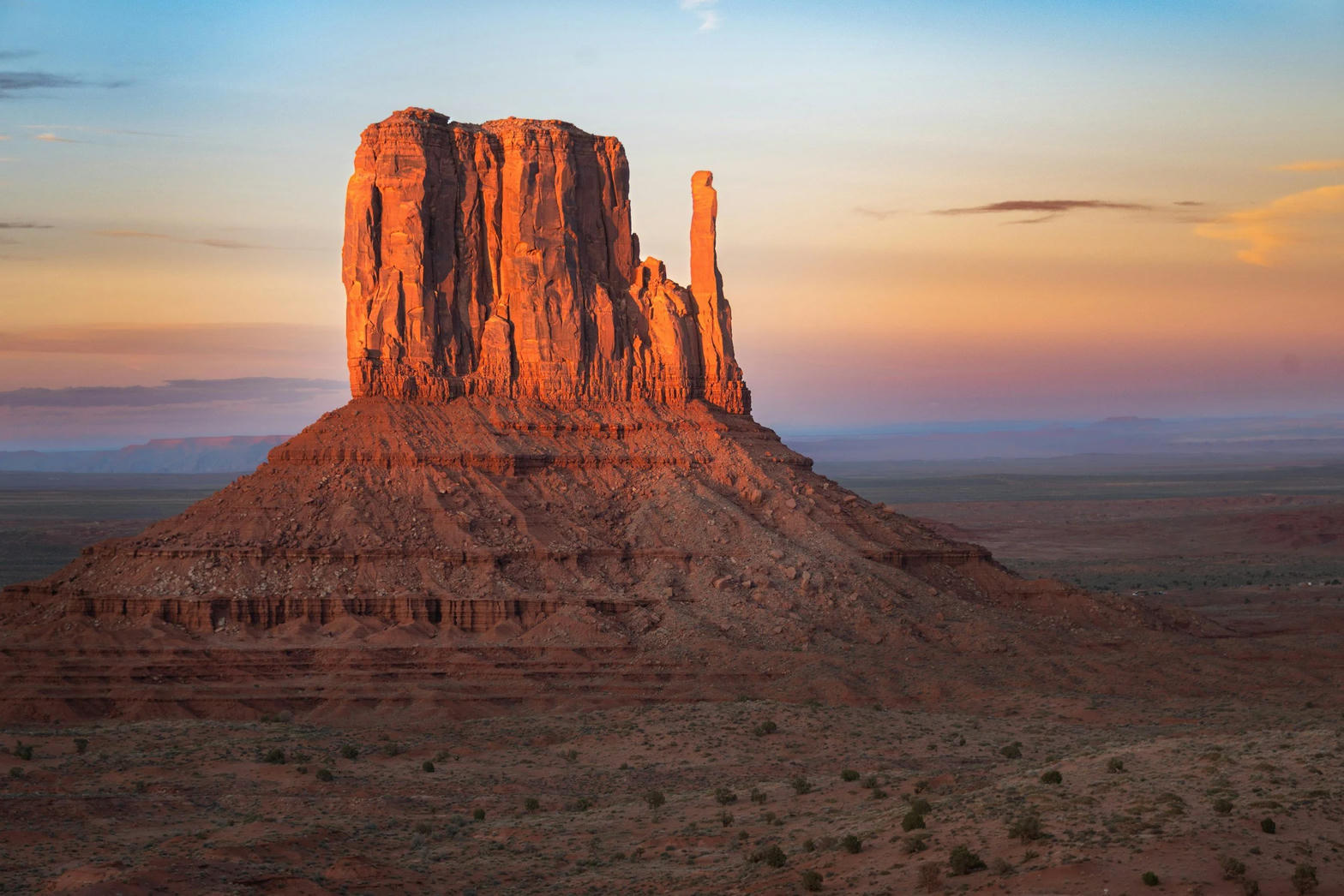
FrontispieceMonument Valley, Utah / Arizona
These plates cover red-rock buttes, alkali flats, and shrub steppe. Early starts, spare water, and a map of landforms matter more than a single park name.
- Plates
- 42
- States
- 9
States in this chapter
- Arizona
- California
- Nevada
- New Mexico
- Oregon
- Texas
- Utah
- Utah / Arizona
- Wyoming
Desert chapter
The plates
Plate IIIMonument Valley
desertNavajo Tribal Park, Utah / Arizona
Red buttes standing like ships on a sea of sage.
37.0° N · 110.1° WOpen plate →
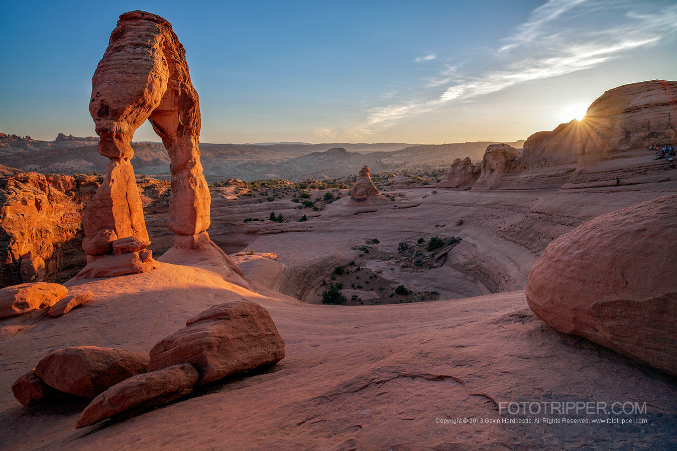 Plate IV
Arches
desertArches National Park, near Moab, Utah
A desert of windows punched through red rock.
38.7° N · 109.6° WOpen plate →
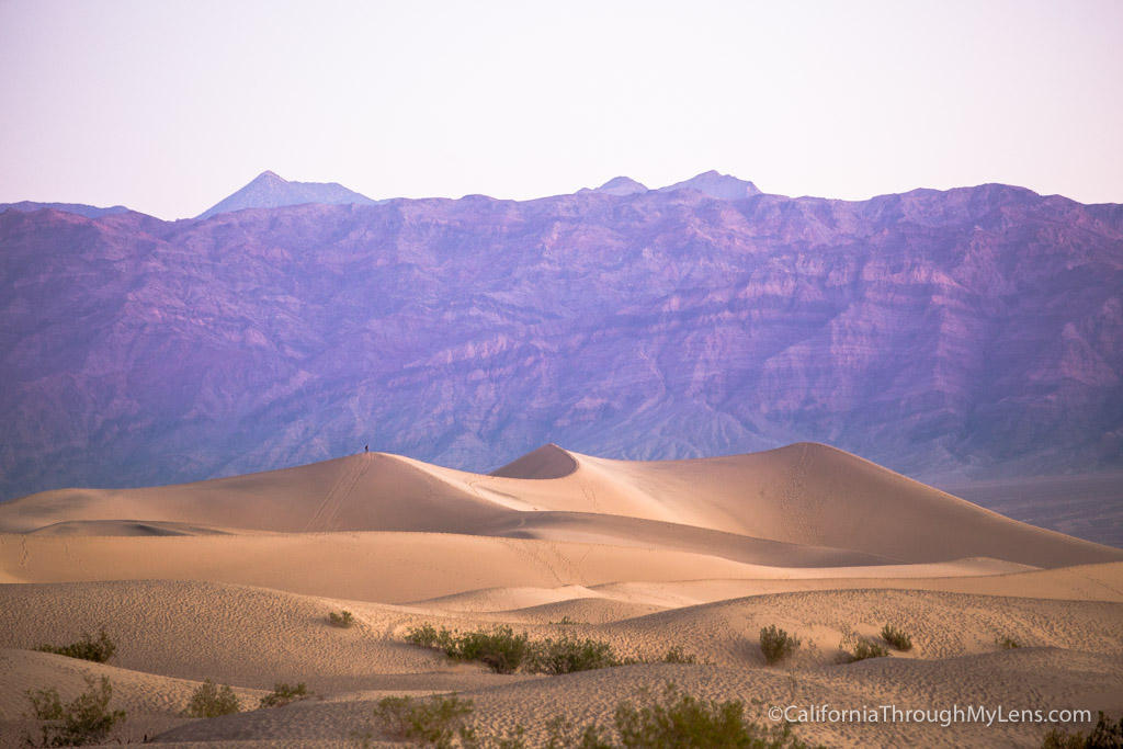 Plate VII
Death Valley
desertMojave & Great Basin, California
A basin so deep the air itself grows heavy.
36.5° N · 116.9° WOpen plate →
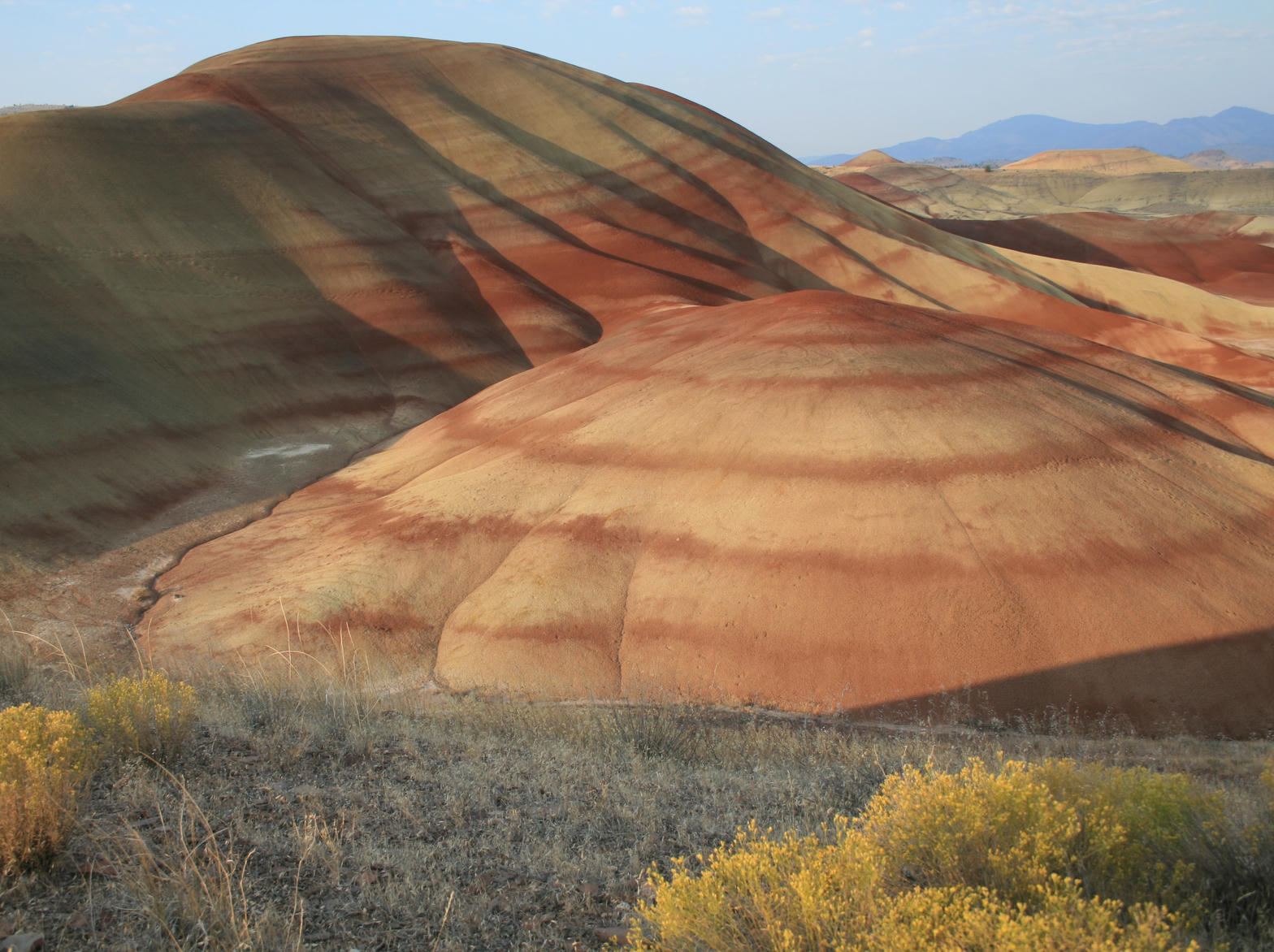 Plate XIV
Painted Hills
desertJohn Day Fossil Beds, Oregon
A hillside painted by climates that no longer exist.
44.7° N · 120.3° WOpen plate →
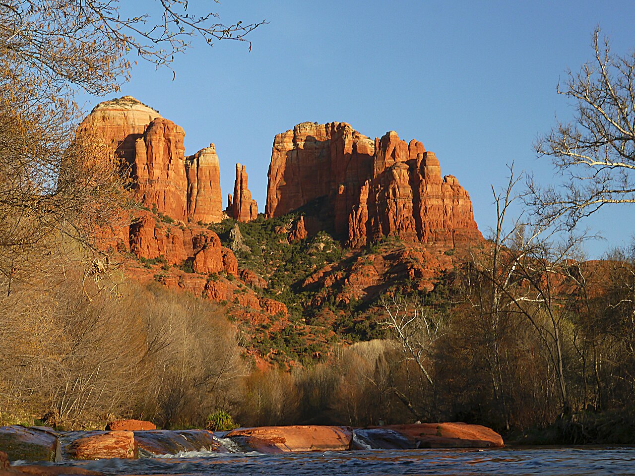 Plate XXXI
Sedona
desertRed Rock Country, Verde Valley, Arizona
Red rock that holds the last of the sun like a coal.
34.9° N · 111.8° WOpen plate →
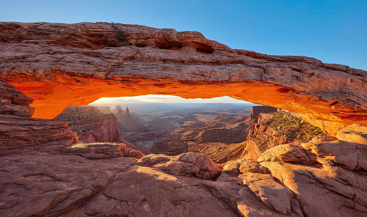 Plate XXXII
Mesa Arch
desertIsland in the Sky, Canyonlands, Utah
A stone eyelid that opens onto the whole plateau.
38.4° N · 109.9° WOpen plate →
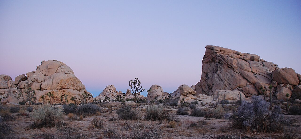 Plate XXXIII
Joshua Tree
desertMojave & Colorado Deserts, California
A garden of stone and a tree that is not quite a tree.
33.9° N · 115.9° WOpen plate →
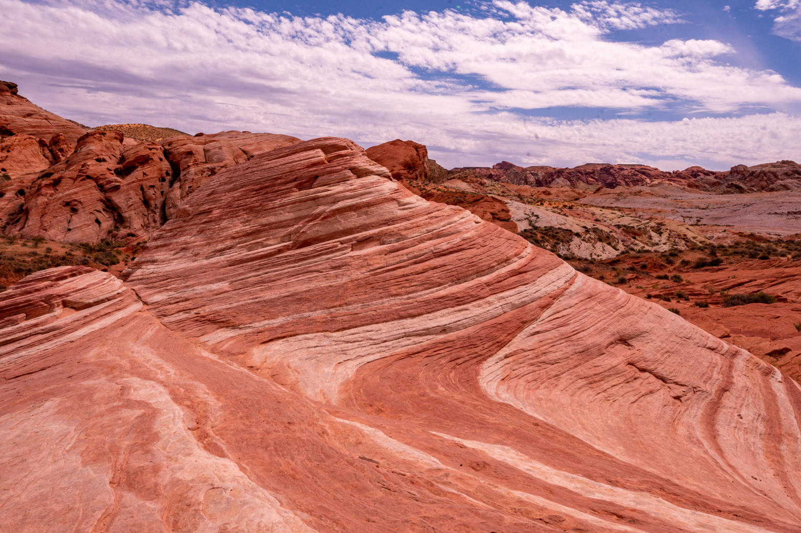 Plate XXXIV
Valley of Fire
desertMojave Desert, near Lake Mead, Nevada
A small desert of flame-colored stone, easily missed.
36.5° N · 114.5° WOpen plate →
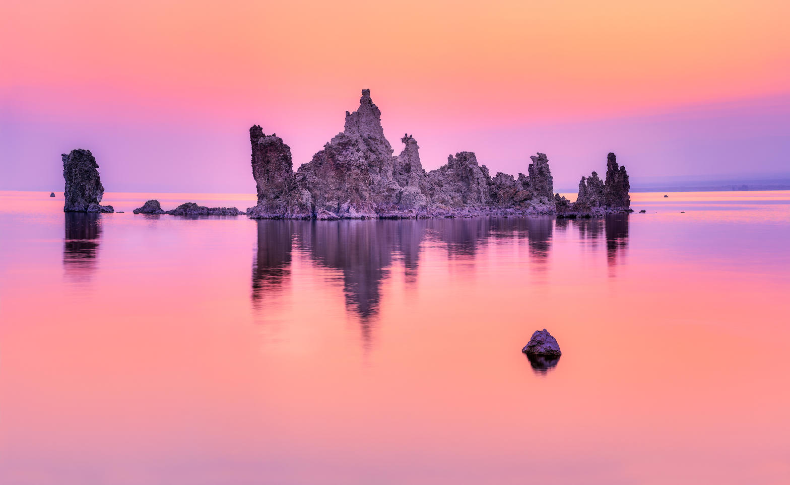 Plate XLII
Mono Lake
desertEastern Sierra, near Lee Vining, California
A pale inland sea planted with stone trees.
38.0° N · 119.0° WOpen plate →
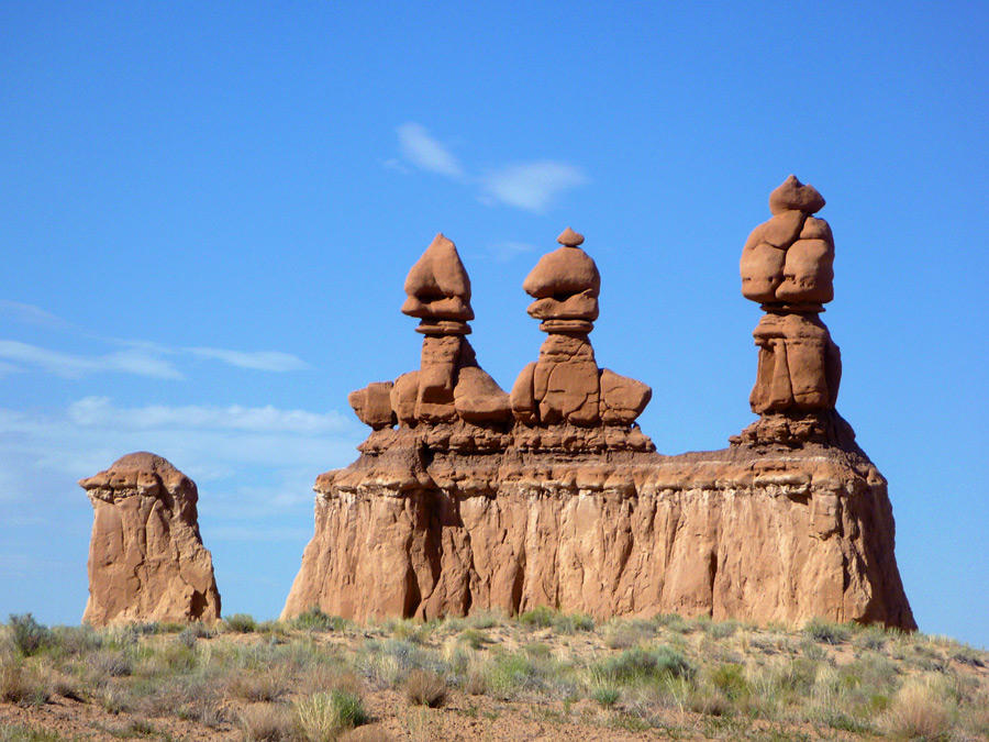 Plate LIII
Goblin Valley
desertSan Rafael Desert, near Hanksville, Utah
A valley of stone figures that look as if they might walk at dusk.
38.6° N · 110.7° WOpen plate →
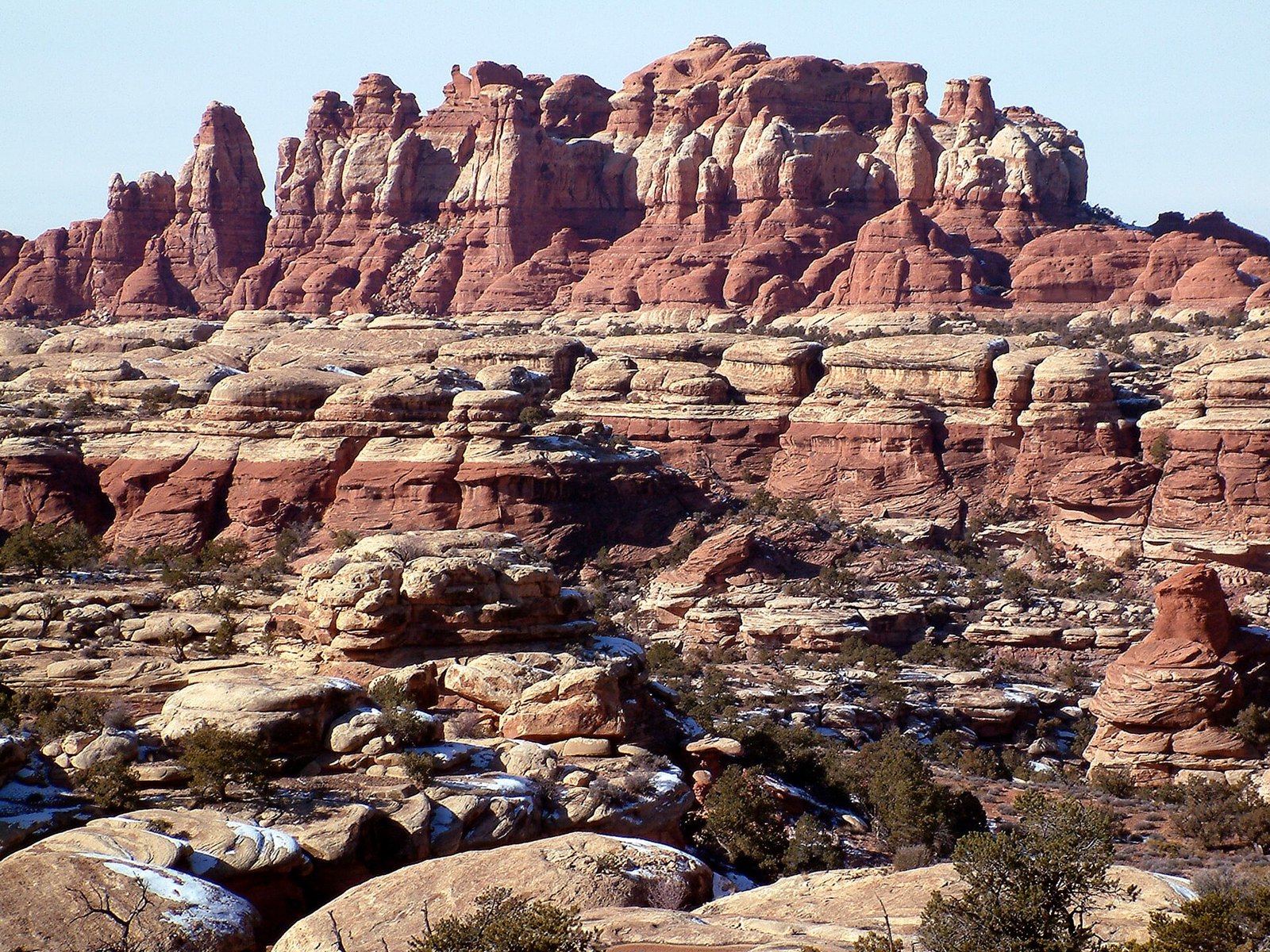 Plate LIV
The Needles
desertCanyonlands National Park, Needles District, Utah
A city of stone towers with almost no one in the streets.
38.1° N · 109.8° WOpen plate →
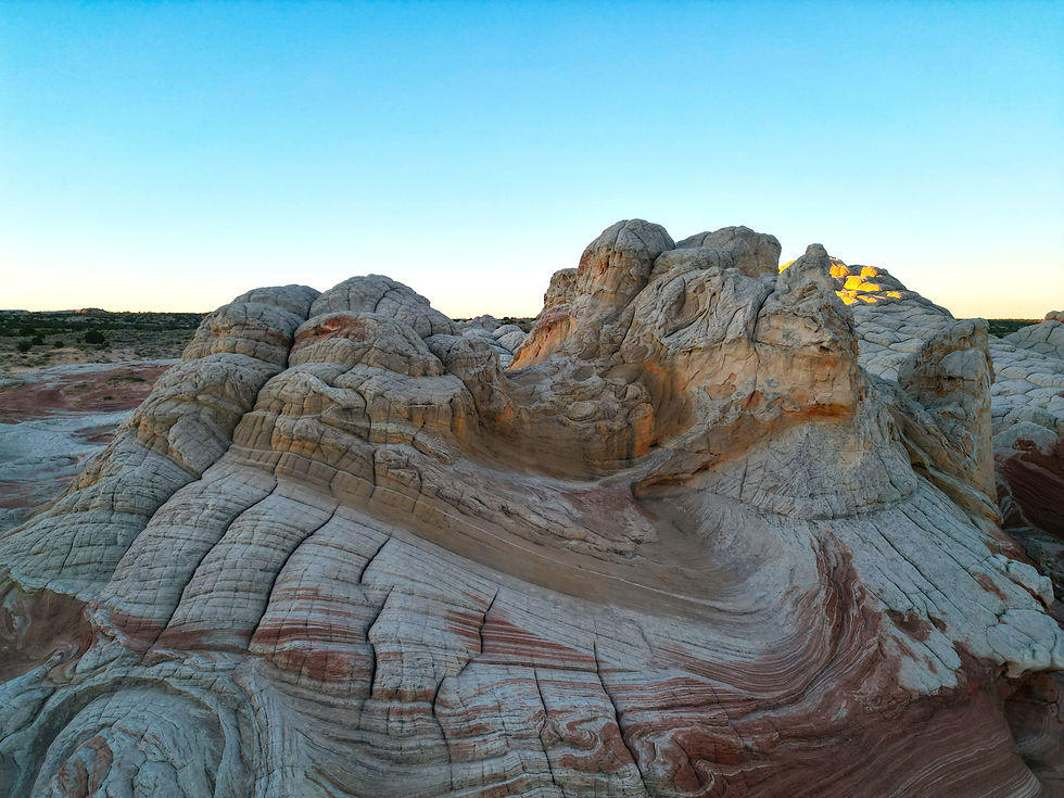 Plate LVII
White Pocket
desertVermilion Cliffs, Paria Plateau, Arizona
A stone that looks poured, then frozen mid-pour.
37.0° N · 111.9° WOpen plate →
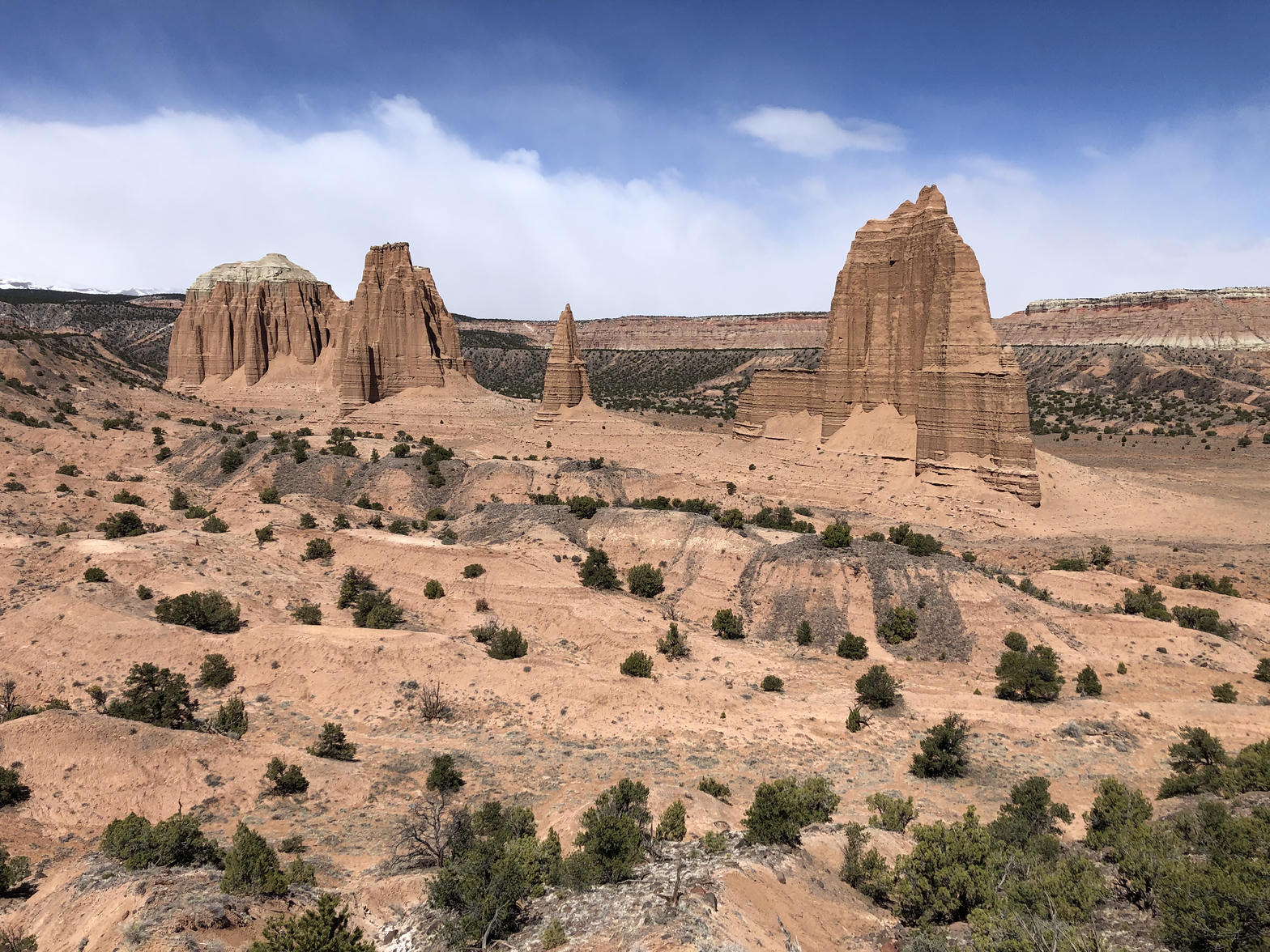 Plate LVIII
Cathedral Valley
desertCapitol Reef National Park, north district, Utah
A desert nave with two red temples and no congregation.
38.5° N · 111.1° WOpen plate →
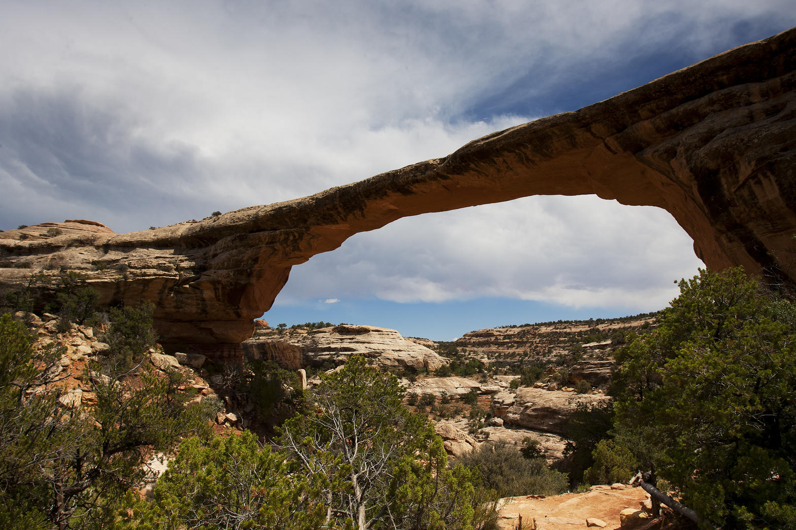 Plate LXI
Natural Bridges
desertWhite Canyon, Cedar Mesa, Utah
A quieter Arches, cut by water instead of frost.
37.6° N · 110.0° WOpen plate →
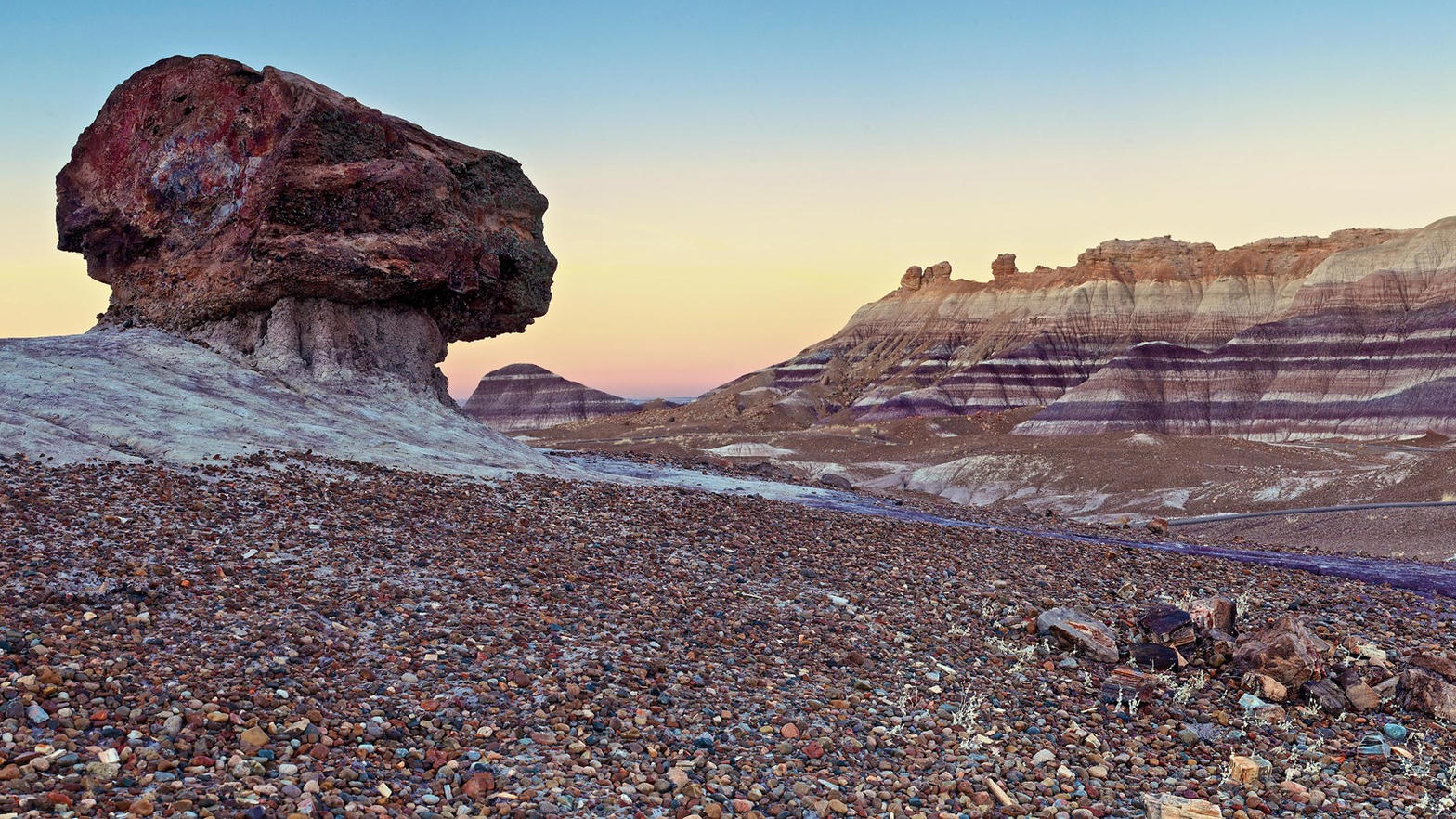 Plate LXIV
Blue Mesa
desertPetrified Forest National Park, Arizona
A hillside wearing the colors of a vanished river.
34.9° N · 109.8° WOpen plate →
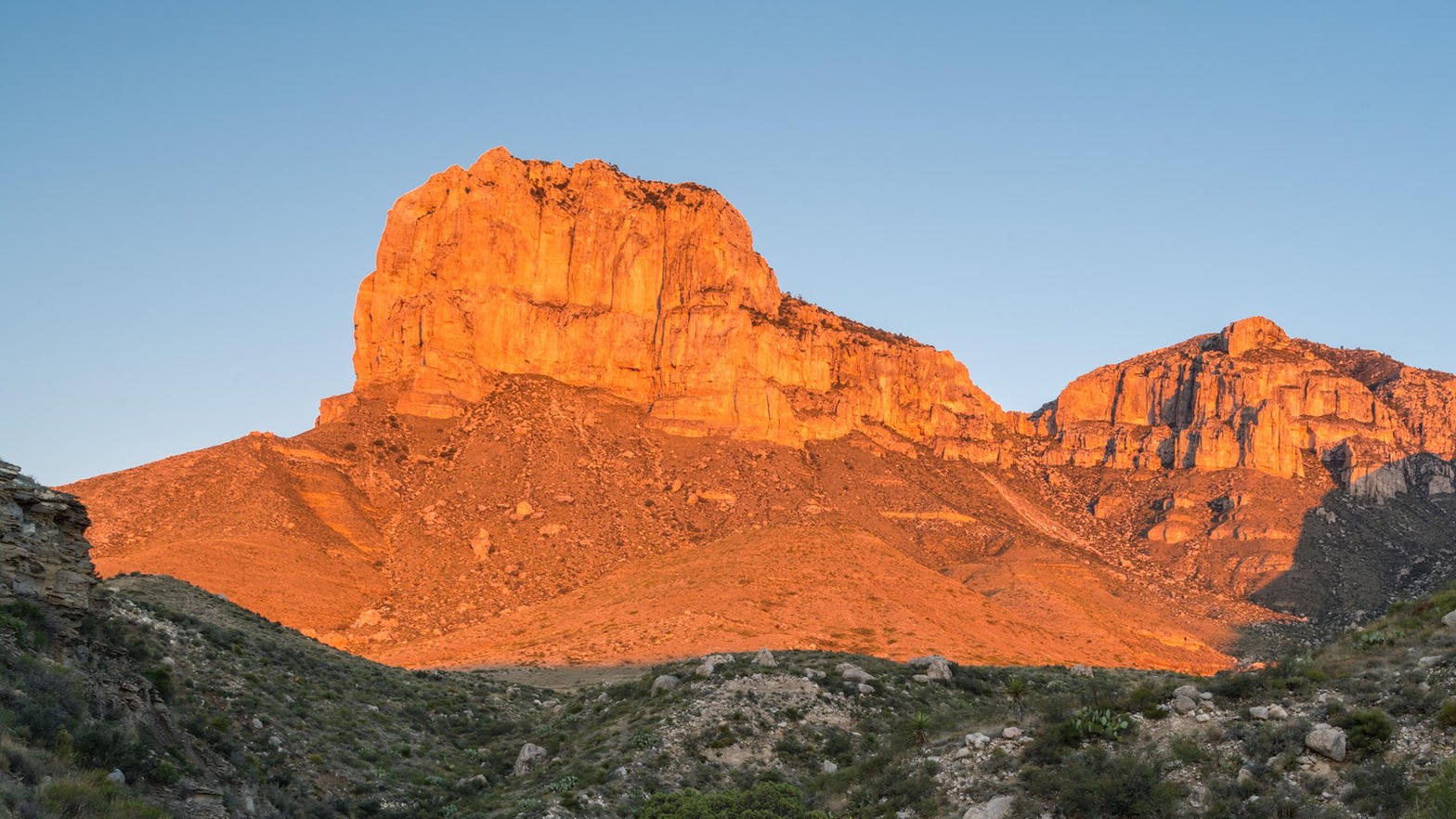 Plate LXVIII
Guadalupe Mountains
desertPermian Reef, Chihuahuan Desert, Texas
A fossil sea, now a mountain, now a wall of evening fire.
31.9° N · 104.9° WOpen plate →
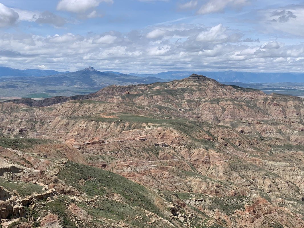 Plate XCV
McCullough Peaks
desertBighorn Basin, east of Cody, Wyoming
A naked range of colored hills the basin kept for itself.
44.6° N · 108.8° WOpen plate →
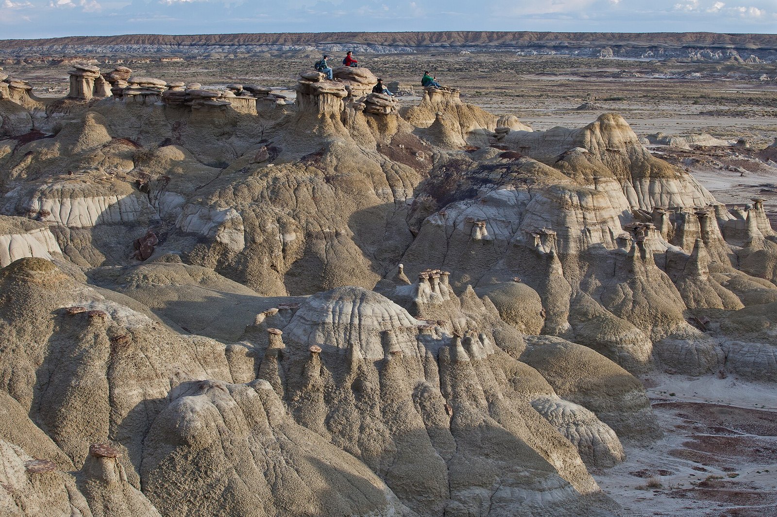 Plate CXIV
Ah-Shi-Sle-Pah
desertSan Juan Basin, New Mexico
A wilderness that learned to grow wings.
36.2° N · 107.9° WOpen plate →
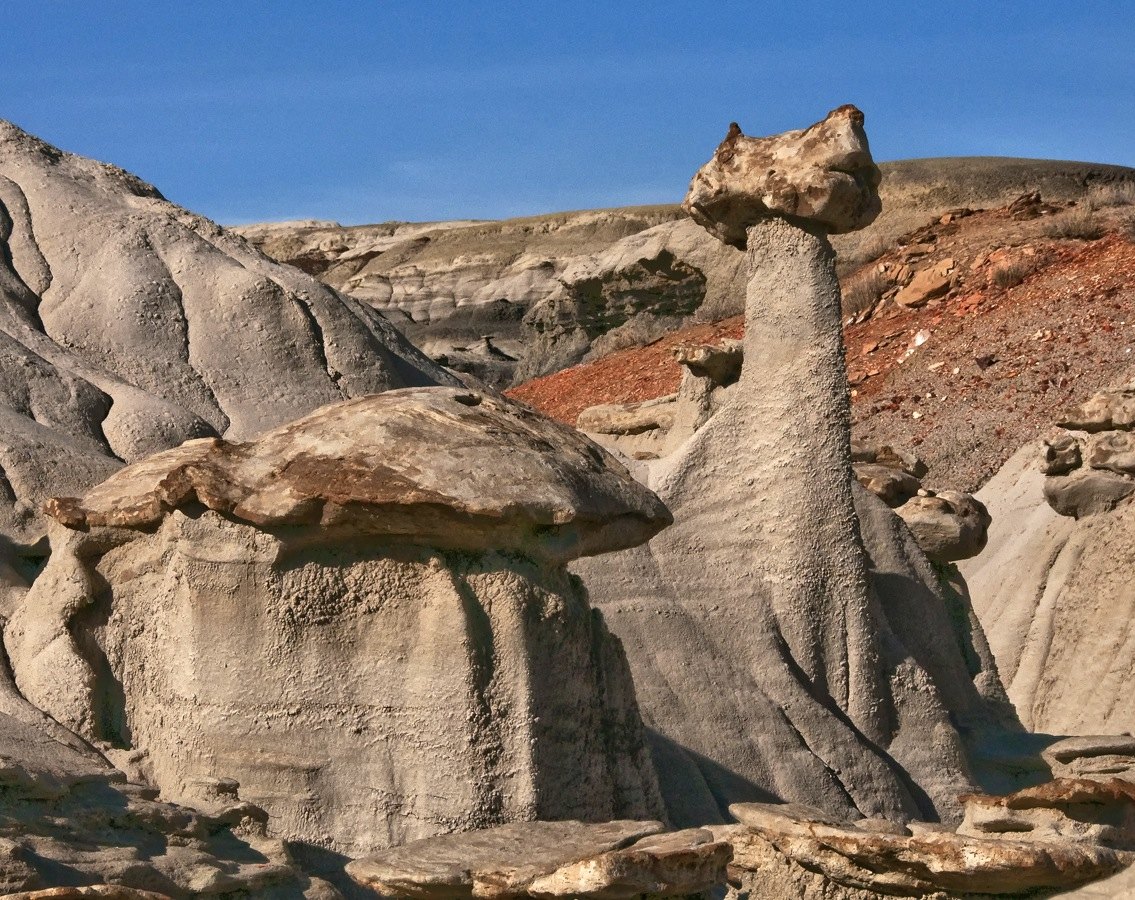 Plate CXXIII
Bisti / De-Na-Zin
desertSan Juan Basin, New Mexico
A wilderness that looks like another planet’s shore.
36.3° N · 108.2° WOpen plate →
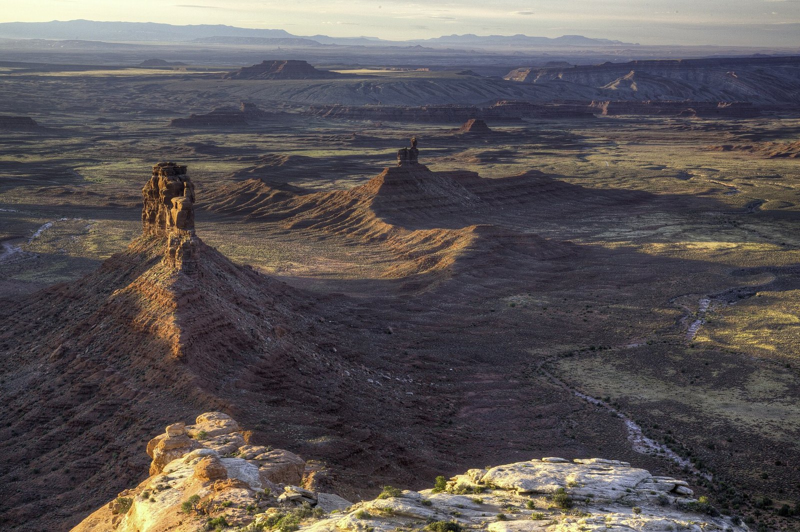 Plate CXXV
Valley of the Gods
desertCedar Mesa, Utah
The valley the buses forgot.
37.3° N · 109.9° WOpen plate →
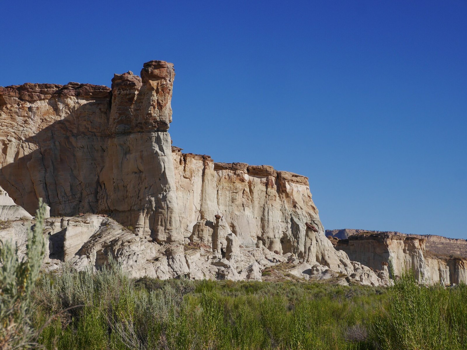 Plate CXXVI
Wahweap Hoodoos
desertGrand Staircase–Escalante, near Big Water, Utah
A choir of white stone in an empty wash.
37.1° N · 111.5° WOpen plate →
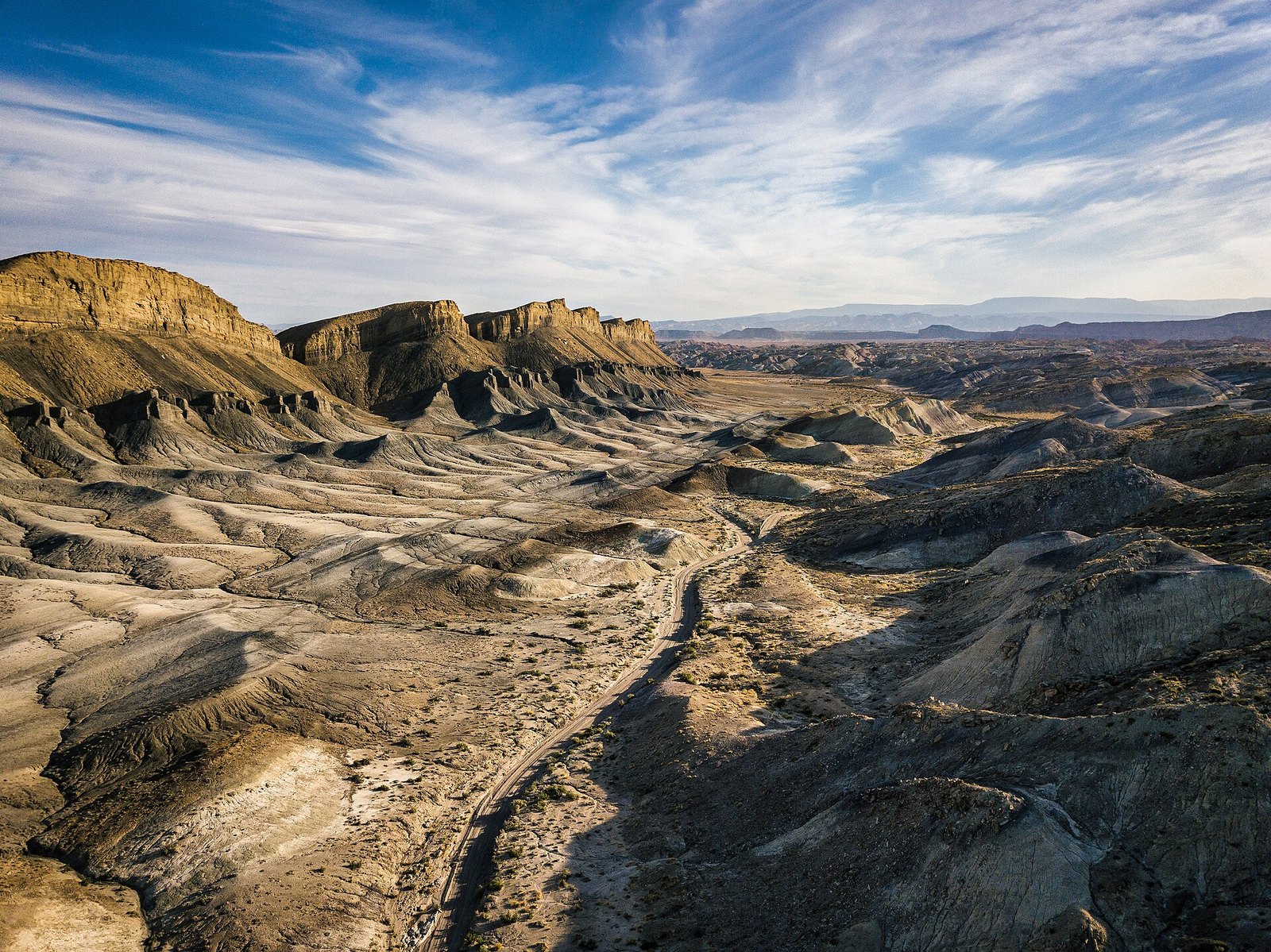 Plate CXXVII
Factory Butte
desertFactory Bench, near Hanksville, Utah
A butte that looks like it belongs to another planet.
38.3° N · 110.9° WOpen plate →
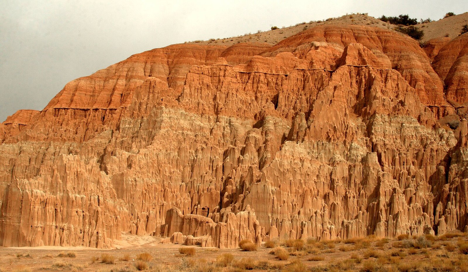 Plate CXXVIII
Cathedral Gorge
deserteastern Nevada, near Panaca, Nevada
A church the weather built out of lakebed.
37.8° N · 114.4° WOpen plate →
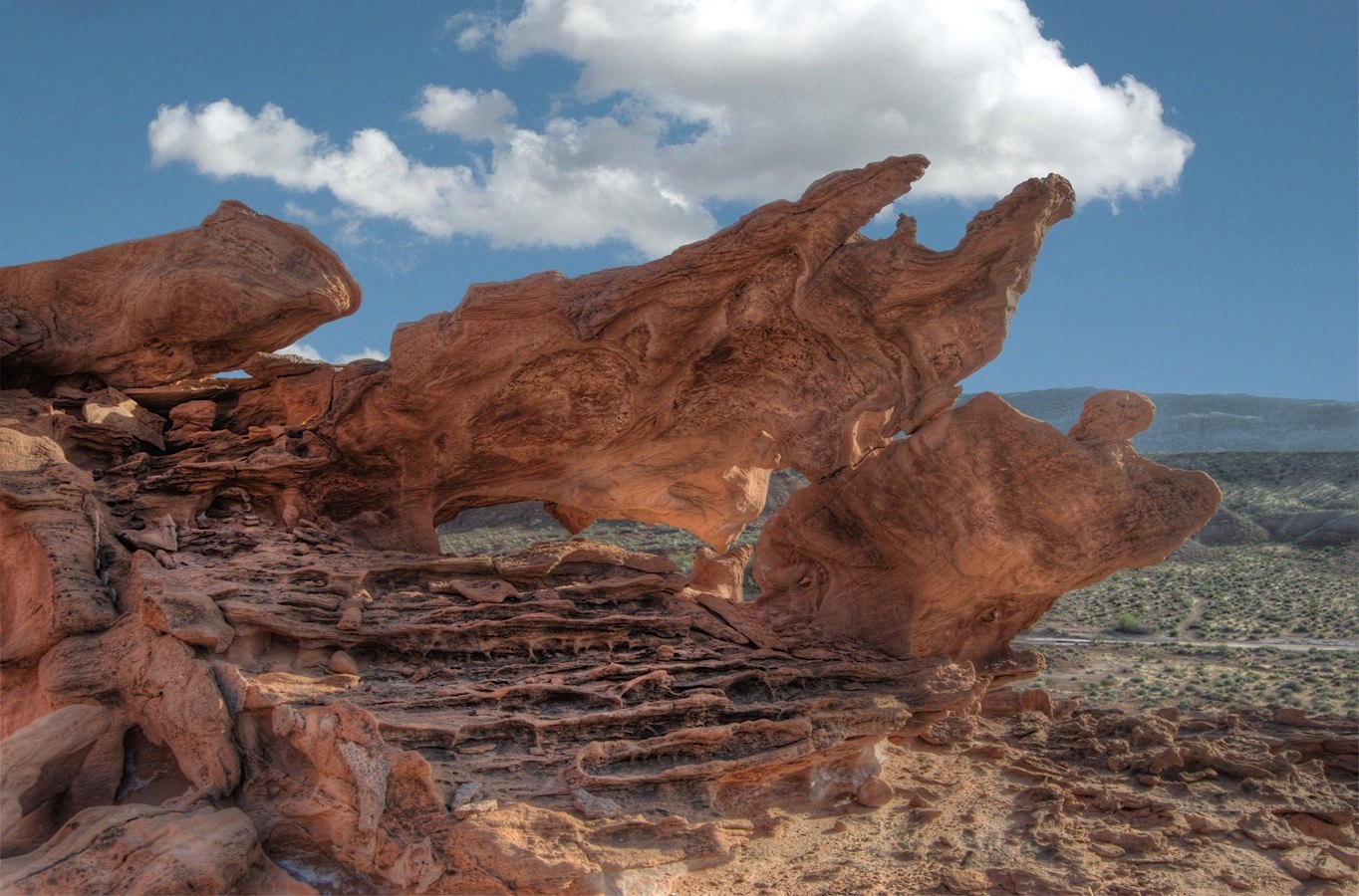 Plate CXXIX
Little Finland
desertGold Butte, northeast of Las Vegas, Nevada
A red stone that learned to be lace.
36.4° N · 114.2° WOpen plate →
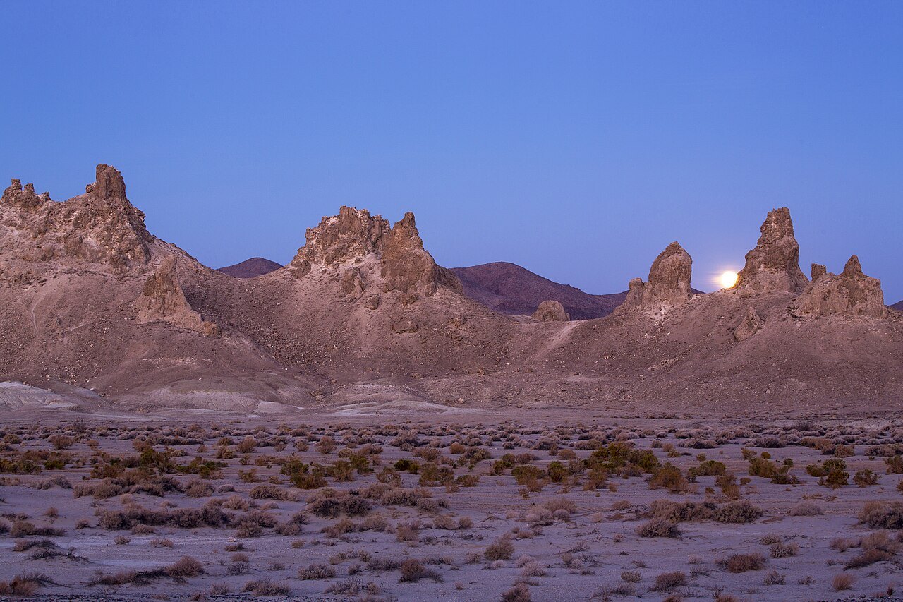 Plate CXXXVI
Trona Pinnacles
desertSearles Lake, near Ridgecrest, California
A stone forest that grew underwater, then the water left.
35.6° N · 117.4° WOpen plate →
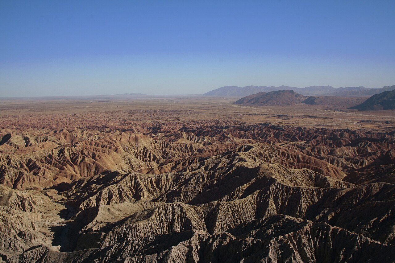 Plate CXXXVII
Anza-Borrego
desertColorado Desert, Font’s Point, California
A desert that hides an ocean of folded earth.
33.3° N · 116.2° WOpen plate →
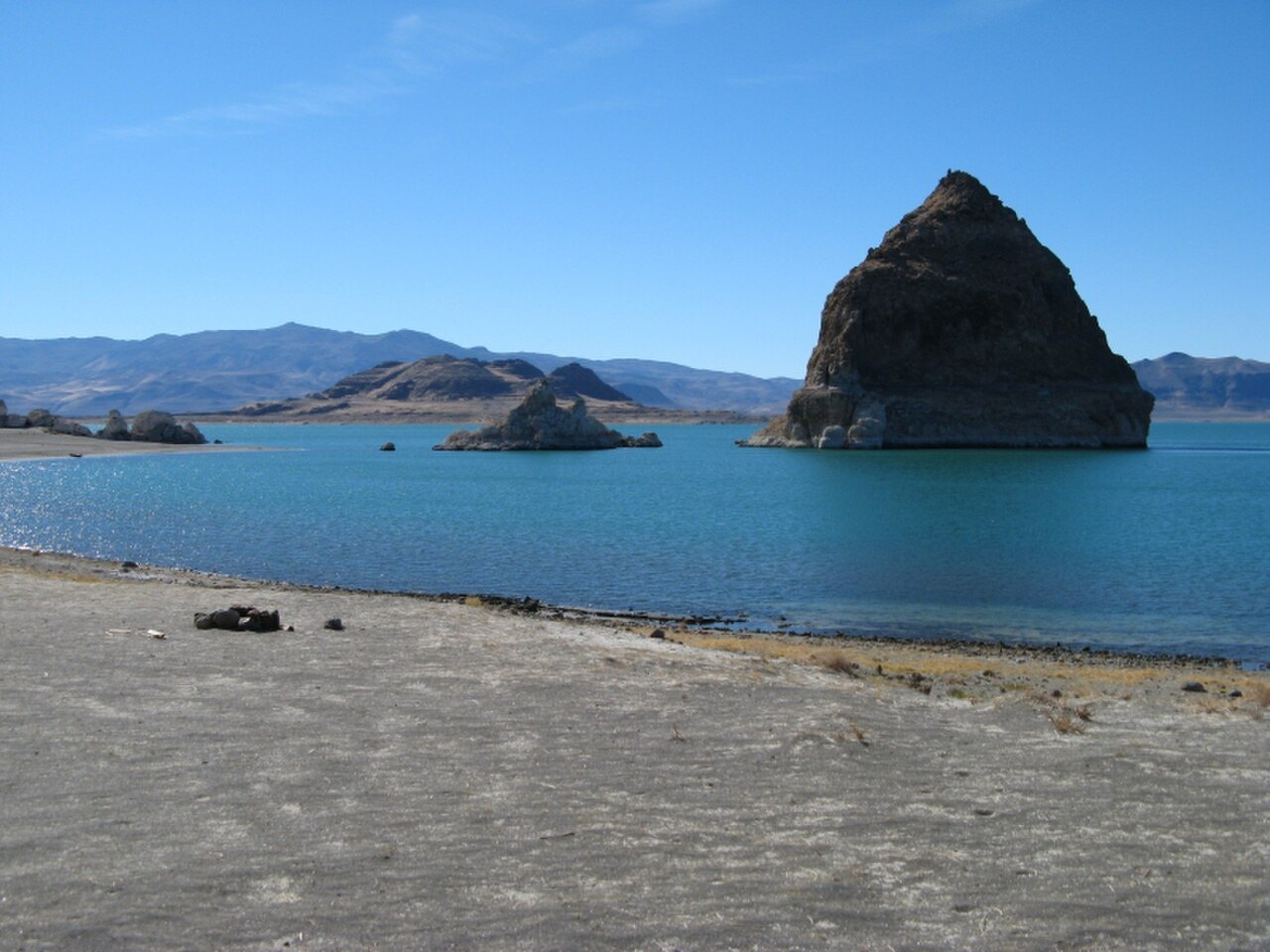 Plate CXL
Pyramid Lake
desertPyramid Lake Paiute Reservation, Nevada
A desert sea with a pyramid for an island.
40.0° N · 119.6° WOpen plate →
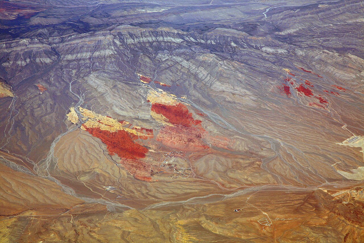 Plate CXLI
Red Rock Canyon
desertSpring Mountains, west of Las Vegas, Nevada
Red stone the city almost hid.
36.1° N · 115.4° WOpen plate →
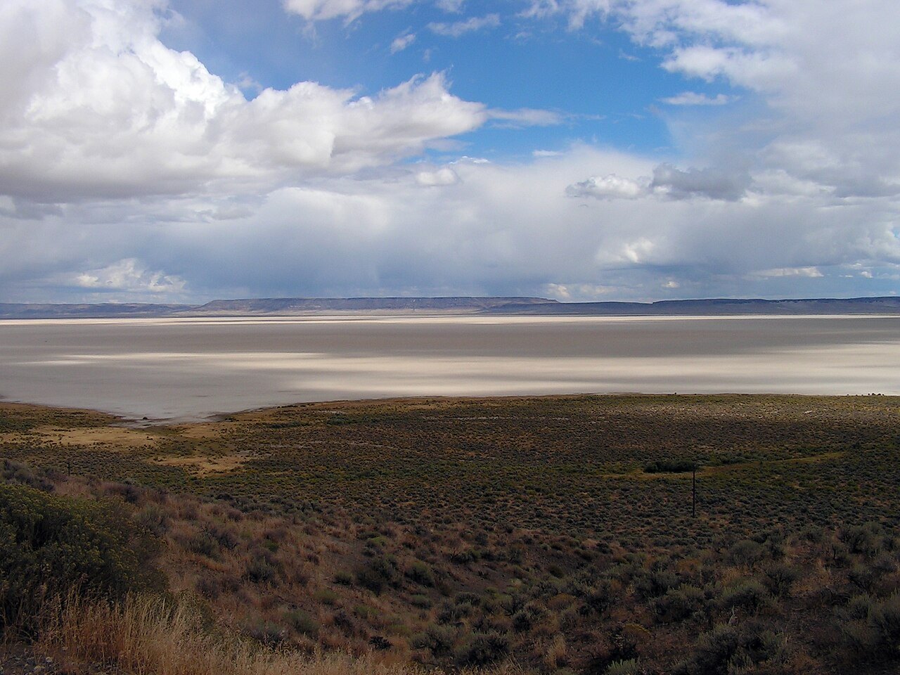 Plate CXLII
Alvord Desert
deserteast of Steens Mountain, Oregon
A white floor under Oregon’s secret escarpment.
42.5° N · 118.5° WOpen plate →
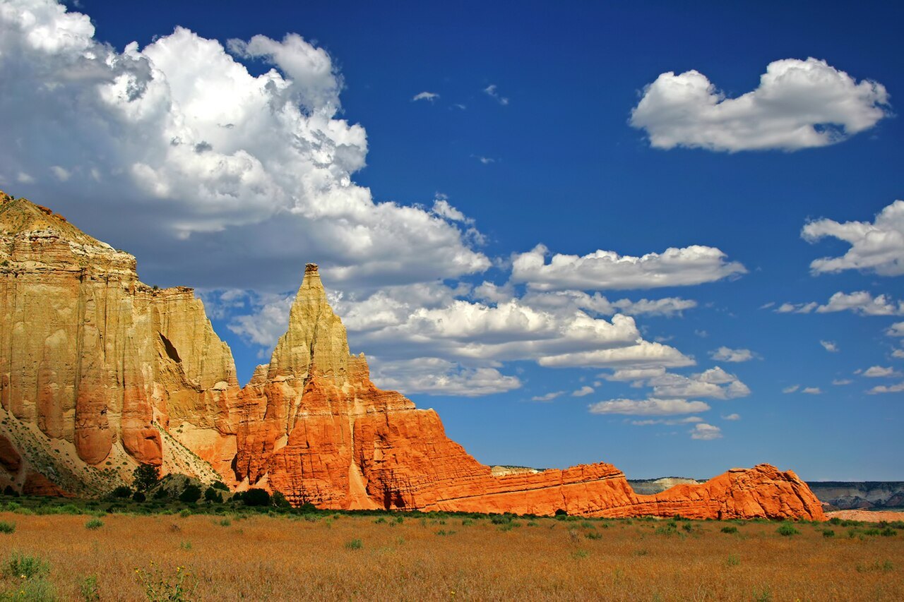 Plate CXLVI
Kodachrome Basin
desertGrand Staircase, near Cannonville, Utah
Stone chimneys named for a color of film.
37.5° N · 112.0° WOpen plate →
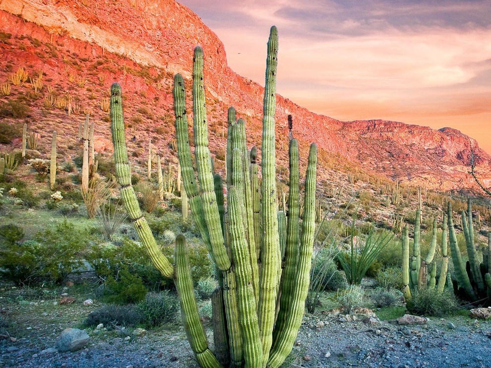 Plate CLI
Organ Pipe
desertOrgan Pipe Cactus National Monument, Arizona
A cactus forest that barely crosses the border.
32.0° N · 112.8° WOpen plate →
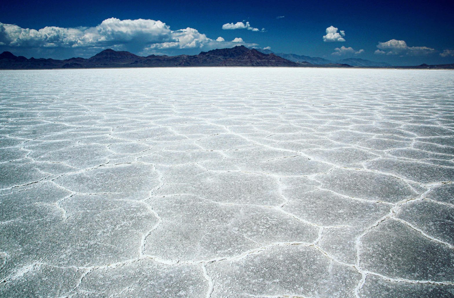 Plate CLII
Bonneville Salt Flats
desertwest of Wendover, Great Salt Lake Desert, Utah
A lake that dried into a sheet of light.
40.8° N · 113.8° WOpen plate →
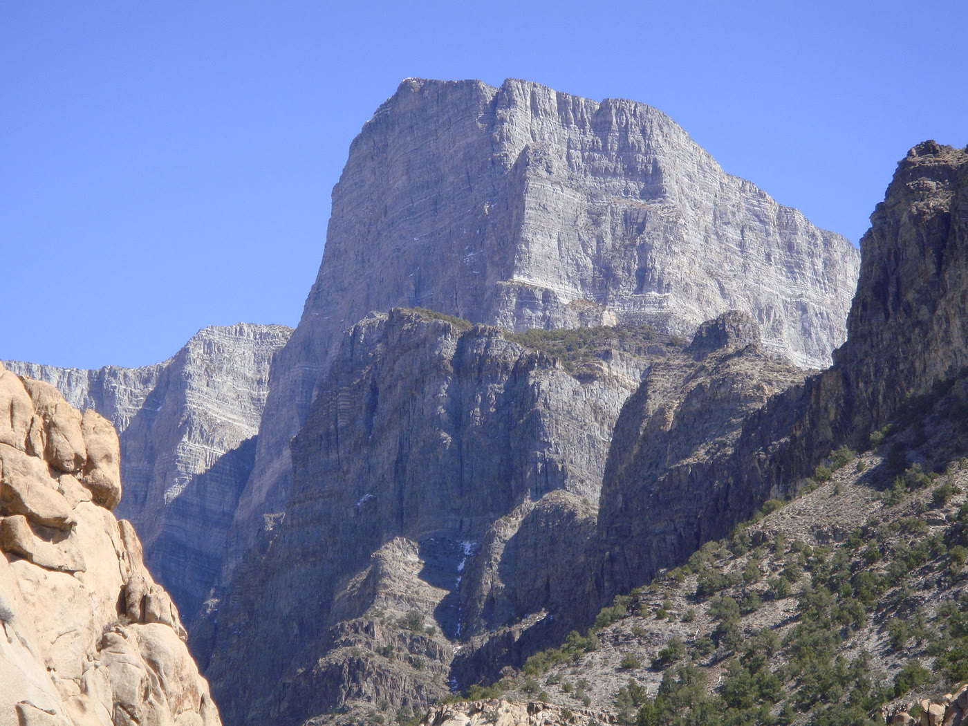 Plate CXCVI
Notch Peak
desertHouse Range, west of Delta, Utah
A limestone wall the desert stood on end.
39.1° N · 113.4° WOpen plate →
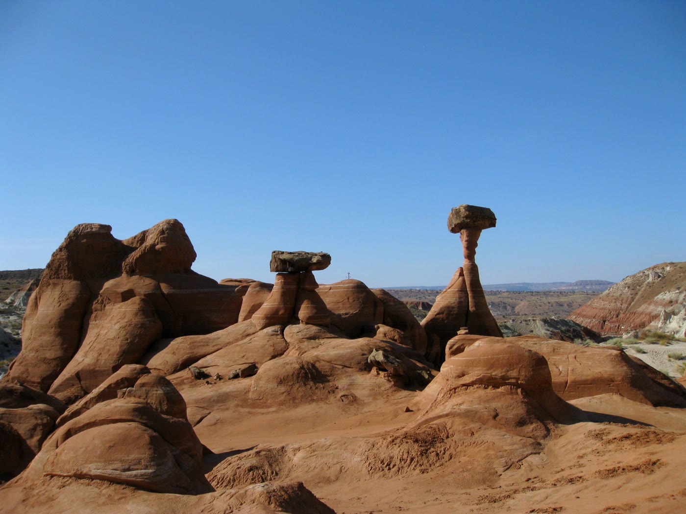 Plate CCXVII
Toadstool Hoodoos
desertParia Rimrocks, Utah
Capstones the rimrocks learned to balance.
37.5° N · 111.9° WOpen plate →
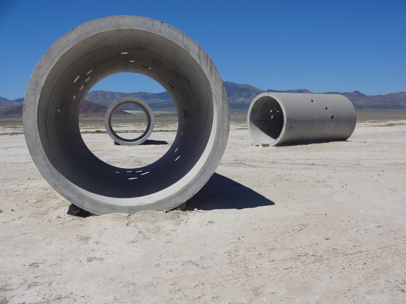 Plate CCXXXIII
Sun Tunnels
desertLucin, Utah
Four tunnels that keep the sun’s appointments.
41.3° N · 113.9° WOpen plate →
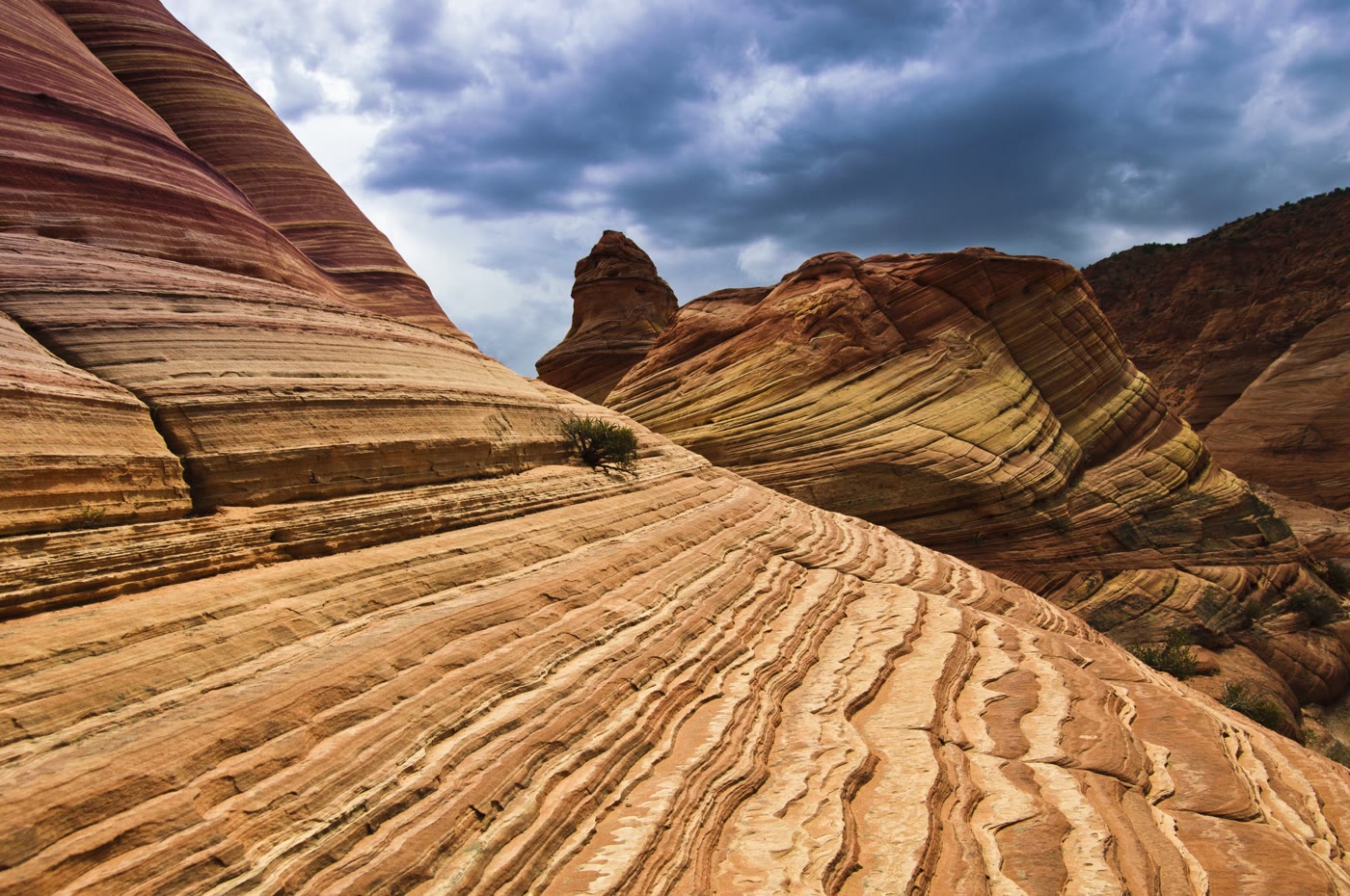 Plate CCXXXIV
The Wave
desertCoyote Buttes North, Arizona
Stone that learned the motion of water.
37.0° N · 112.0° WOpen plate →
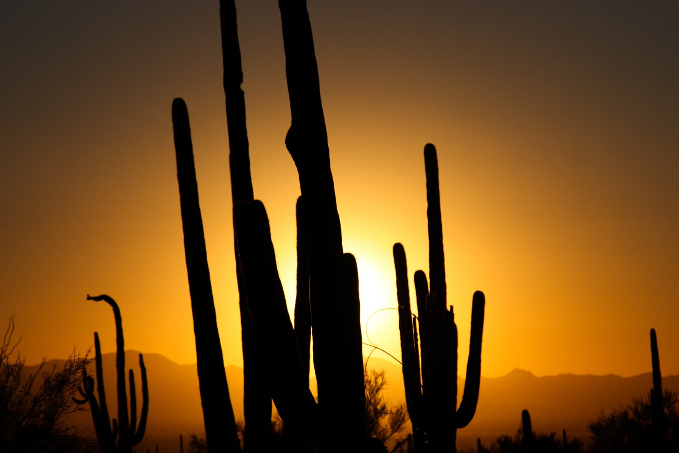 Plate CCXXXVI
Saguaro National Park
desertSonoran Desert, Tucson, Arizona
Arms the desert learned to hold up to the sun.
32.2° N · 111.2° WOpen plate →
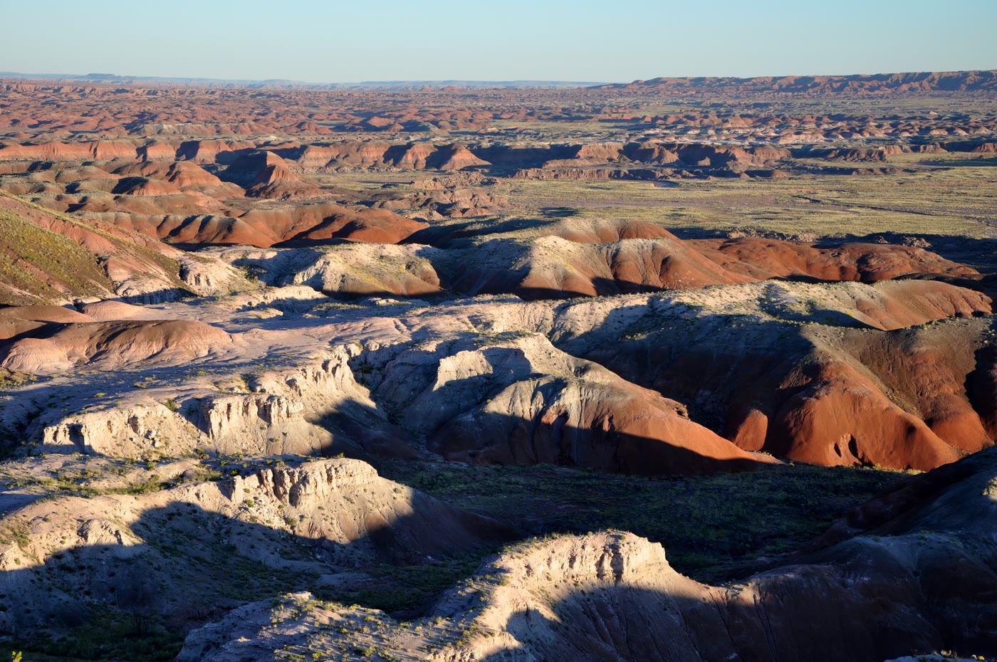 Plate CCXL
Painted Desert
desertTawa Point, Petrified Forest, Arizona
A desert that kept every color of old mud.
35.1° N · 109.8° WOpen plate →
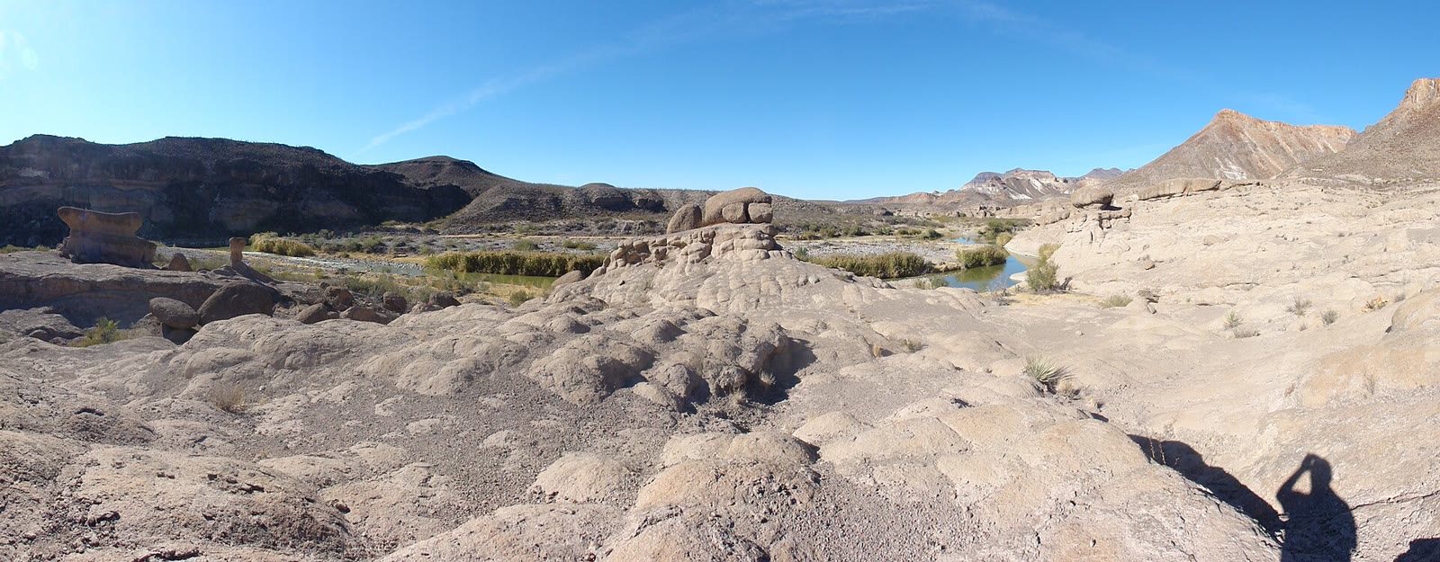 Plate CCLXVI
Big Bend Ranch
desertChihuahuan Desert, west of Lajitas, Texas
The desert the national park does not own.
29.5° N · 104.1° WOpen plate →
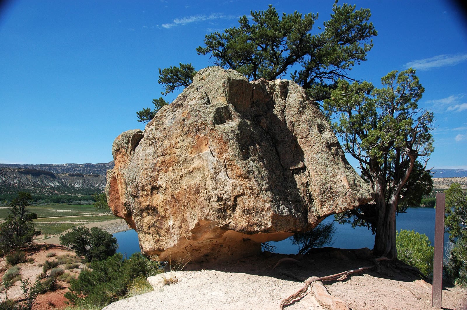 Plate CCLXXVI
Escalante Petrified Forest
desertWide Hollow, Escalante, Utah
A small forest the desert turned to stone.
37.8° N · 111.6° WOpen plate →
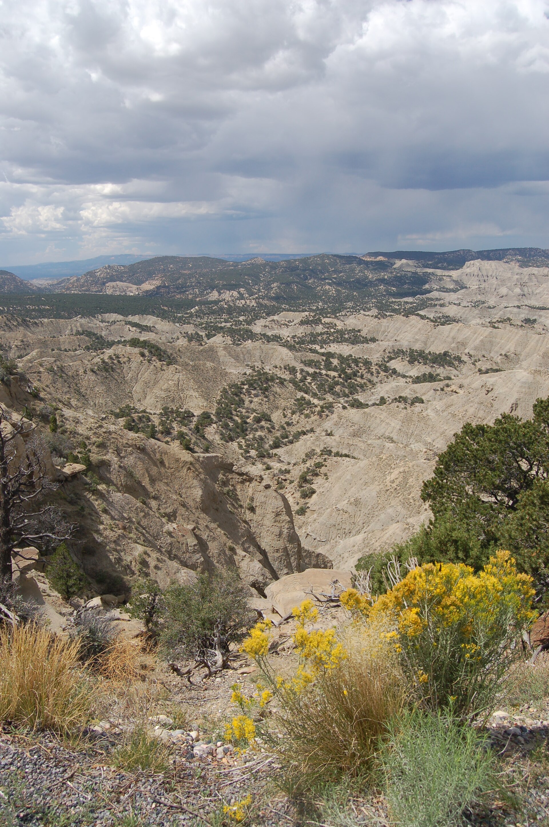 Plate CCCXXX
The Blues Overlook
desertScenic Byway 12, west of Escalante, Utah
Gray hills under a pink table of stone.
37.6° N · 111.8° WOpen plate →
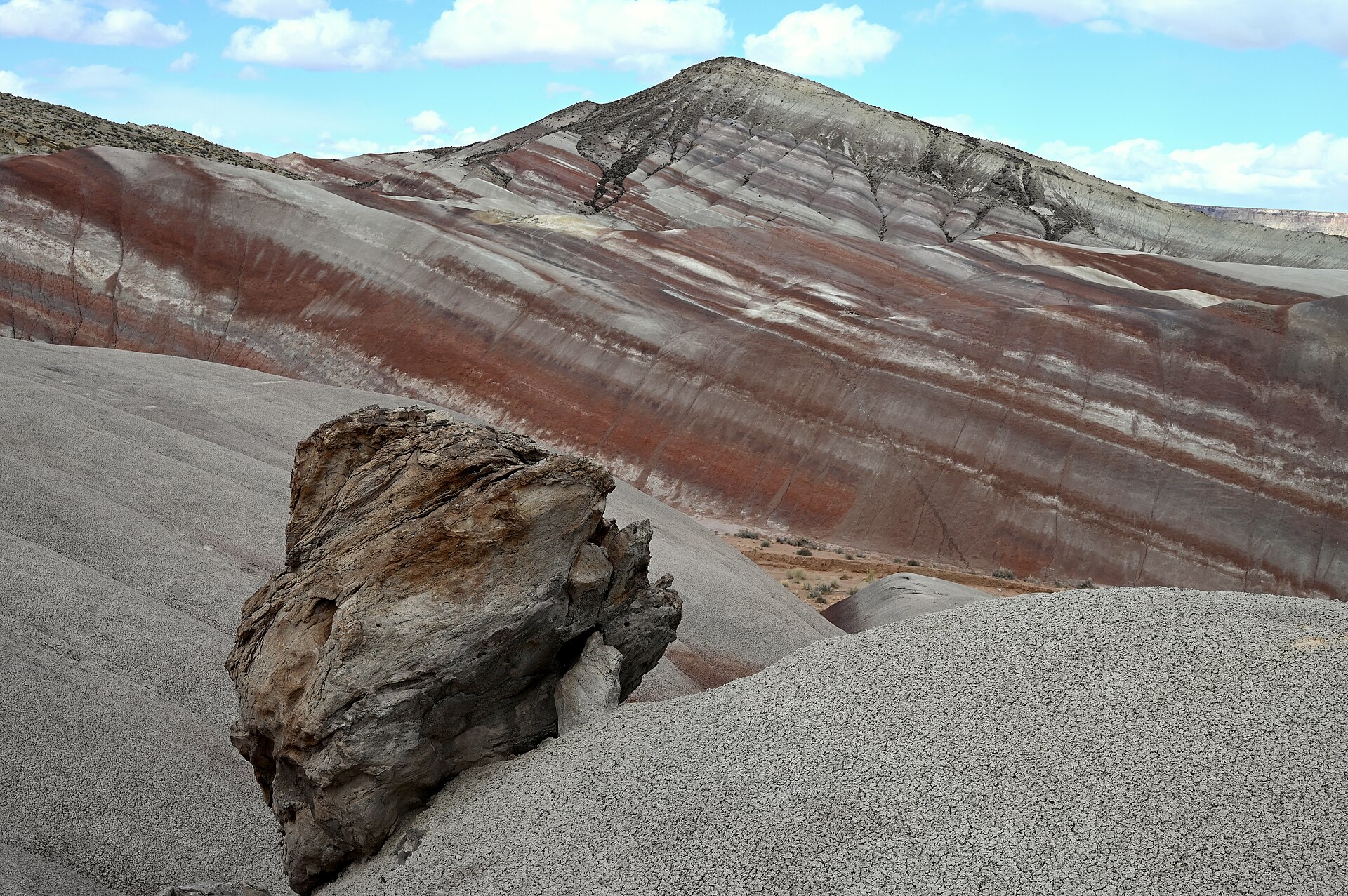 Plate CCCXXXI
Moonscape Overlook
desertSkyline Rim, Factory Bench (approx), Utah
Gray benches the Mancos kept after the sea left.
38.5° N · 110.8° WOpen plate →
Asked at the trailhead
Questions already asked
- Which US deserts are worth visiting?
- The Mojave, Sonoran, Chihuahuan, and Great Basin deserts all appear in this atlas, including Death Valley, Monument Valley, White Sands, and Organ Pipe.
- Is desert travel only in summer?
- No. Spring and fall are kinder in the low deserts. High basins can be cold at night year-round. Each plate notes elevation and landform.
Change course