The Field Atlas
0/363Red rock road
Southwest destinations in the USA
This chapter follows the red-rock road from Arizona into Utah and New Mexico: canyons, deserts, and buttes under the same hard sky.

FrontispieceGrand Canyon, Arizona
The plates here share light more than a state line — a rim one day, a bench or slot the next. Angel Lake and Arc Dome are the Nevada basins. The Mogollon Rim near Woods Canyon Lake is the Arizona edge. Dark Canyon is the quiet Utah wilderness cut behind the Needles. Read the landform note, then open the neighbors on the chart.
- Plates
- 127
- States
- 9
Southwest
The plates
Plate IGrand Canyon
canyonSouth Rim, Coconino County, Arizona
Two billion years of stone stacked like a book, opened by the Colorado River.
36.1° N · 112.1° WOpen plate →
 Plate II
Antelope Canyon
canyonNavajo Nation, near Page, Arizona
Wind and flood wrote a corridor of fire-colored stone.
36.9° N · 111.4° WOpen plate →
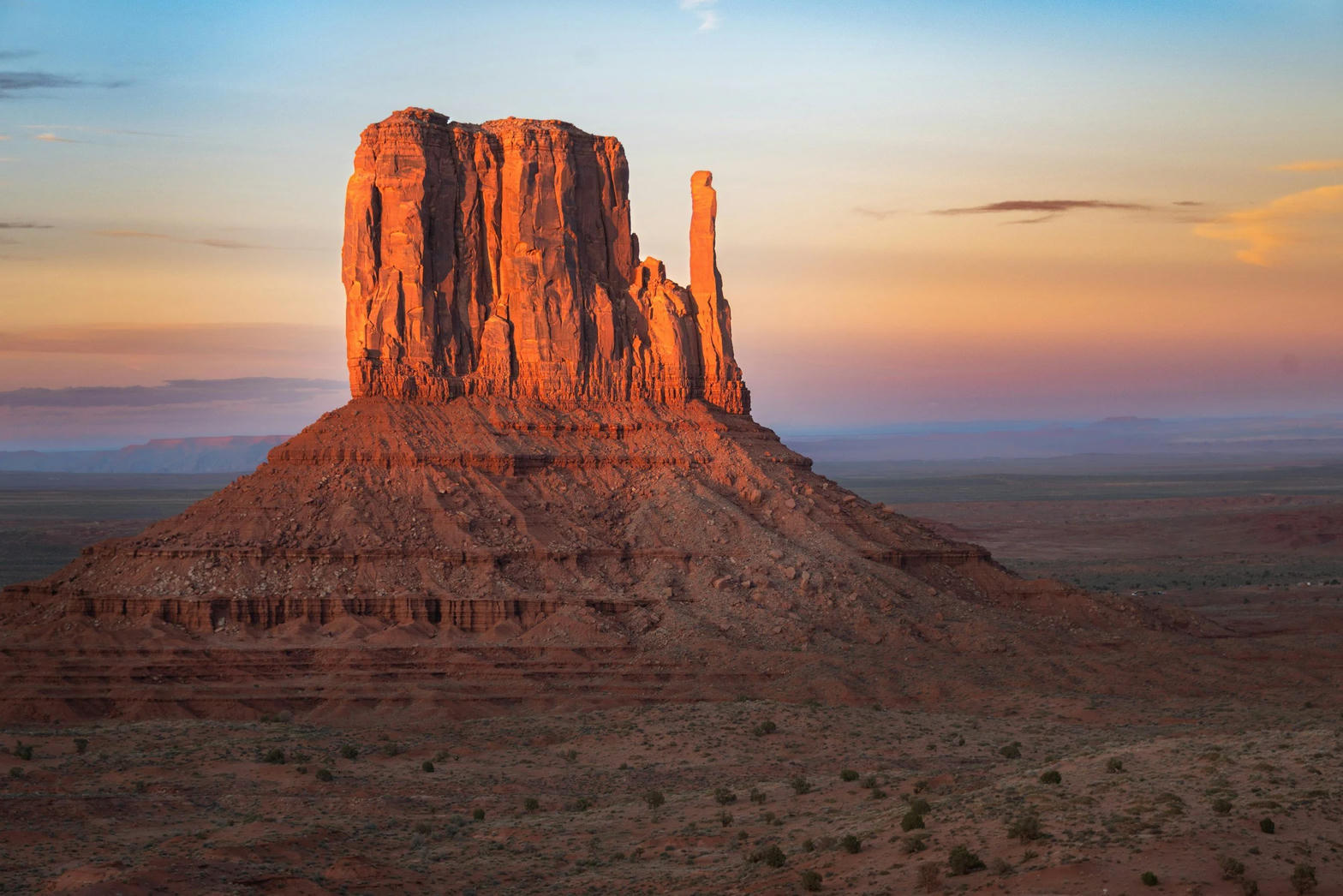 Plate III
Monument Valley
desertNavajo Tribal Park, Utah / Arizona
Red buttes standing like ships on a sea of sage.
37.0° N · 110.1° WOpen plate →
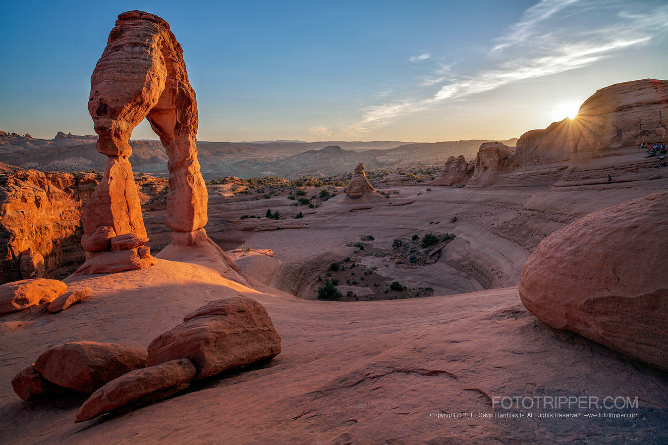 Plate IV
Arches
desertArches National Park, near Moab, Utah
A desert of windows punched through red rock.
38.7° N · 109.6° WOpen plate →
 Plate V
Zion Canyon
canyonZion National Park, Utah
A river walking through a cathedral of red walls.
37.3° N · 113.0° WOpen plate →
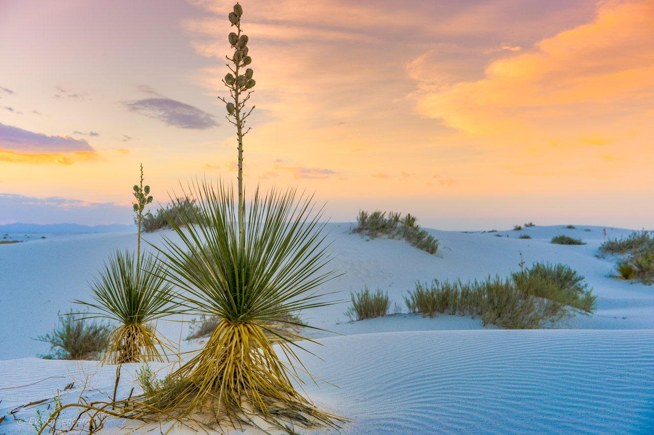 Plate VI
White Sands
duneTularosa Basin, New Mexico
A sea of gypsum that behaves like snow and light.
32.8° N · 106.3° WOpen plate →
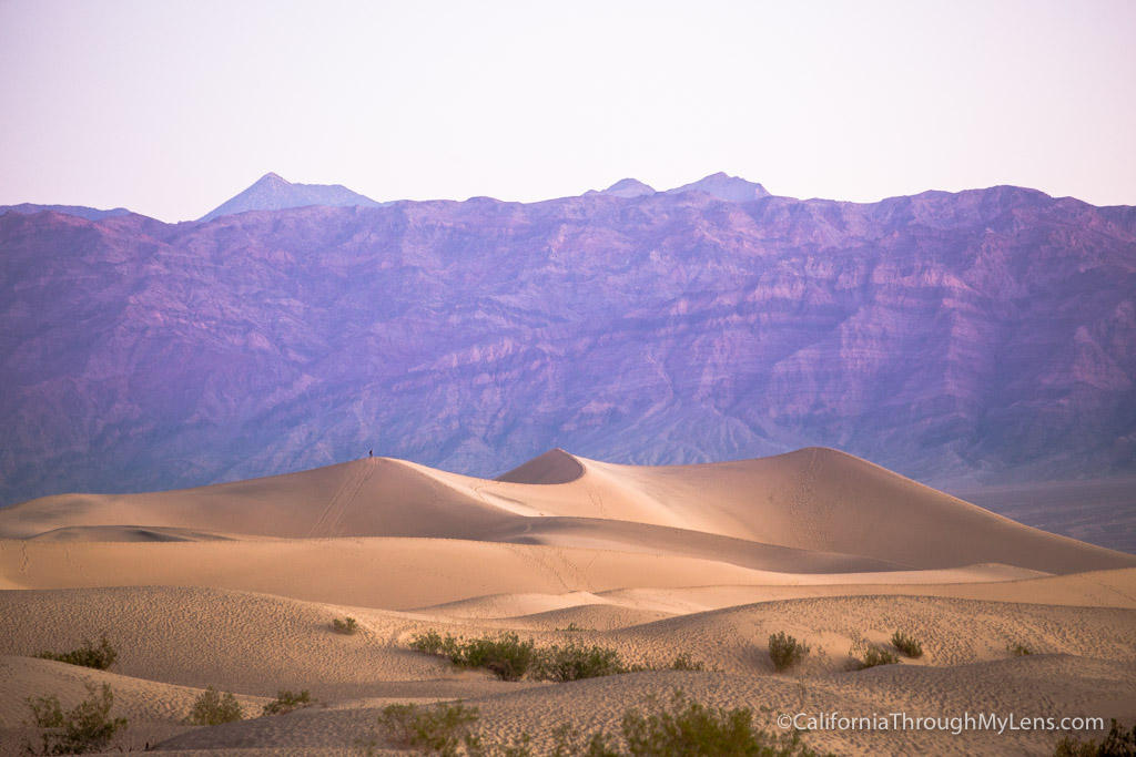 Plate VII
Death Valley
desertMojave & Great Basin, California
A basin so deep the air itself grows heavy.
36.5° N · 116.9° WOpen plate →
 Plate VIII
Big Bend
canyonChihuahuan Desert, Rio Grande, Texas
Where the river cuts a door through desert mountains.
29.2° N · 103.3° WOpen plate →
 Plate XXIX
Bryce Canyon
canyonPaunsaugunt Plateau, Utah
A frozen congregation of stone, lit from within at sunrise.
37.6° N · 112.2° WOpen plate →
 Plate XXX
Horseshoe Bend
canyonGlen Canyon, near Page, Arizona
The river turning back on itself in a perfect horseshoe of stone.
36.9° N · 111.5° WOpen plate →
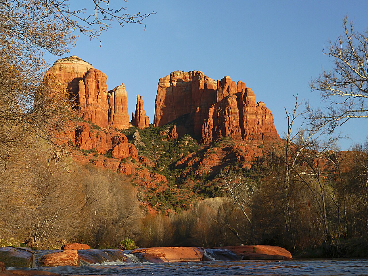 Plate XXXI
Sedona
desertRed Rock Country, Verde Valley, Arizona
Red rock that holds the last of the sun like a coal.
34.9° N · 111.8° WOpen plate →
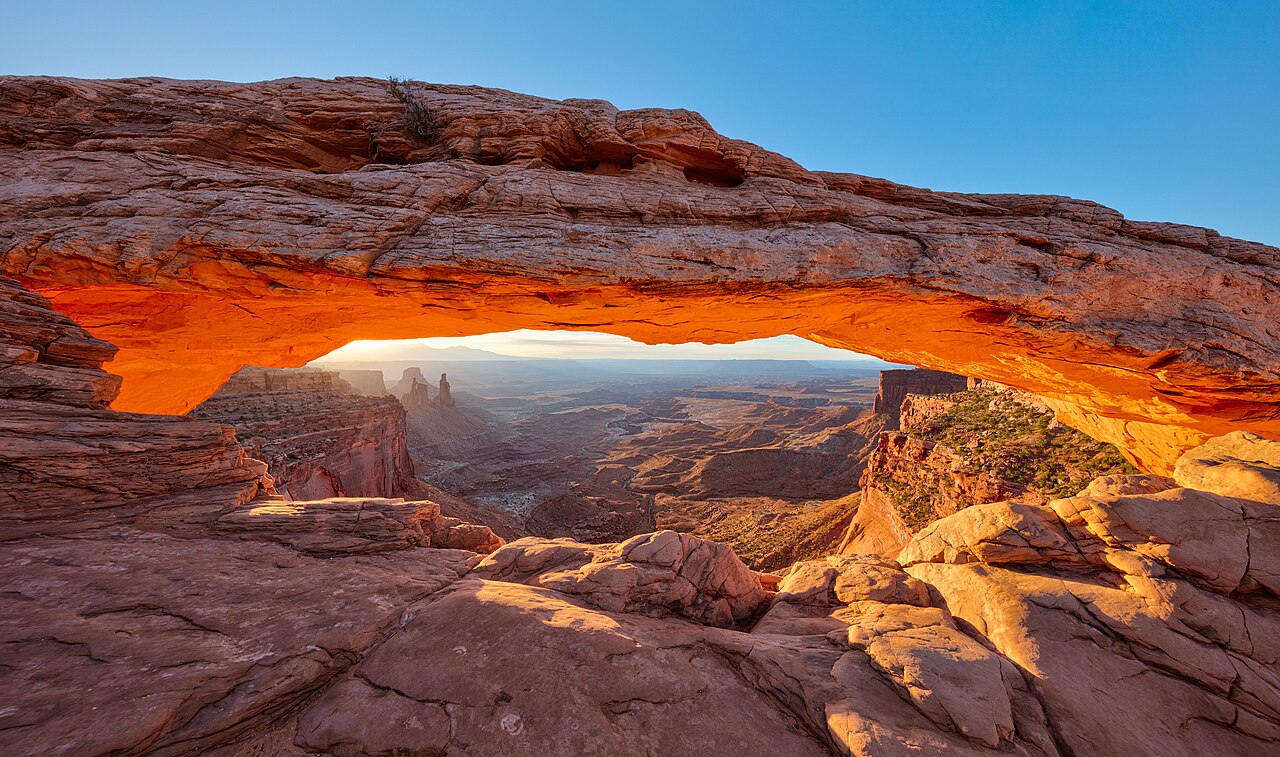 Plate XXXII
Mesa Arch
desertIsland in the Sky, Canyonlands, Utah
A stone eyelid that opens onto the whole plateau.
38.4° N · 109.9° WOpen plate →
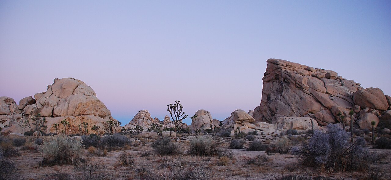 Plate XXXIII
Joshua Tree
desertMojave & Colorado Deserts, California
A garden of stone and a tree that is not quite a tree.
33.9° N · 115.9° WOpen plate →
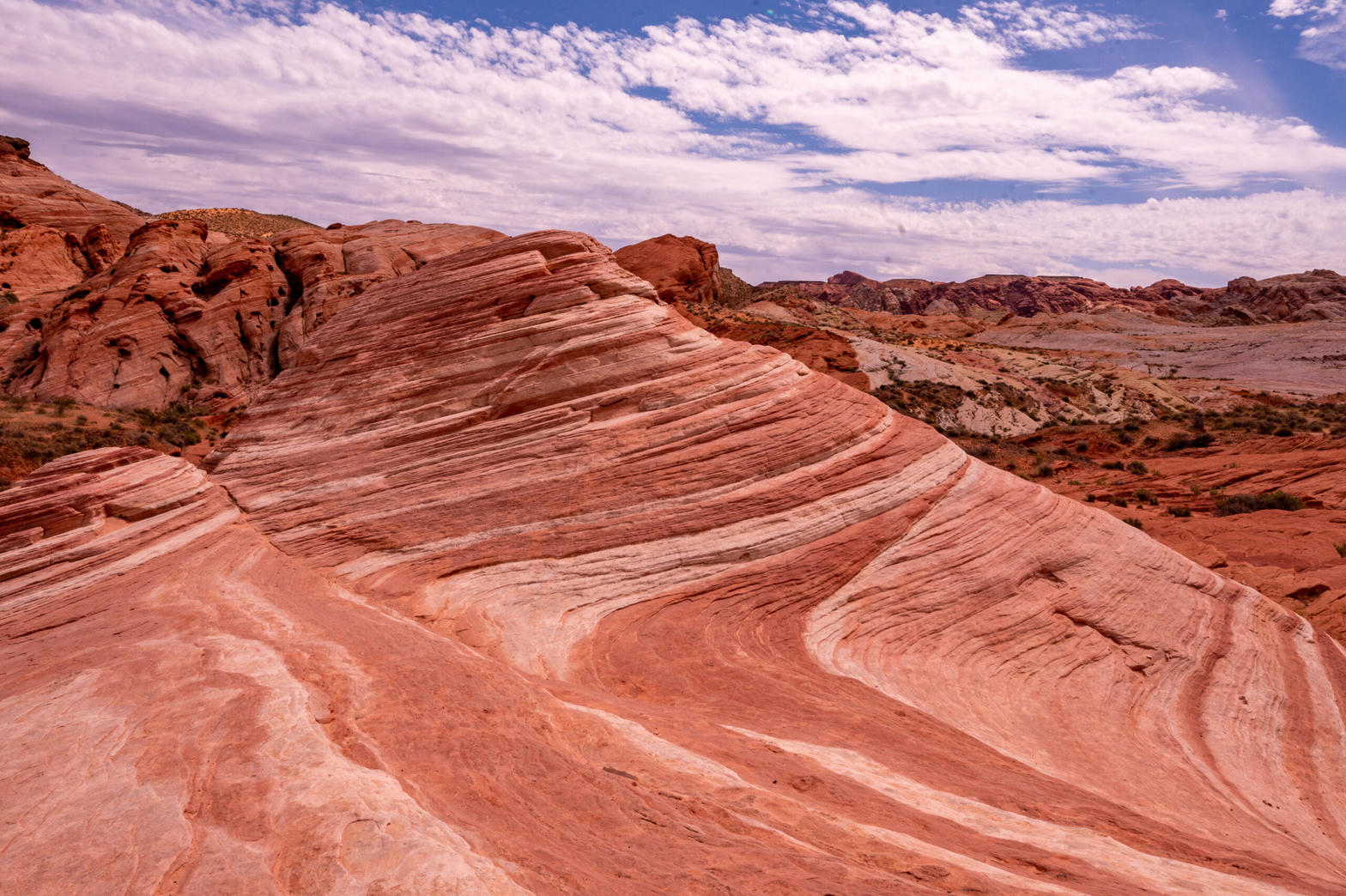 Plate XXXIV
Valley of Fire
desertMojave Desert, near Lake Mead, Nevada
A small desert of flame-colored stone, easily missed.
36.5° N · 114.5° WOpen plate →
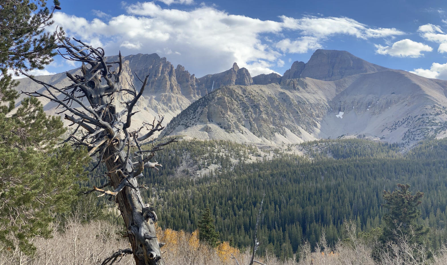 Plate XXXV
Great Basin
alpineSnake Range, near Baker, Nevada
The emptiest national park, and one of the oldest forests.
39.0° N · 114.3° WOpen plate →
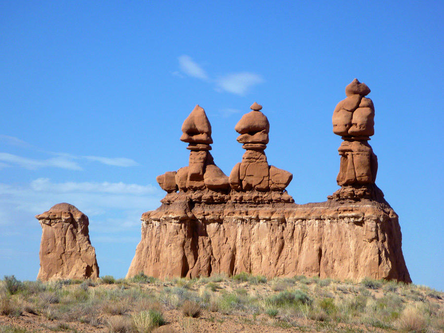 Plate LIII
Goblin Valley
desertSan Rafael Desert, near Hanksville, Utah
A valley of stone figures that look as if they might walk at dusk.
38.6° N · 110.7° WOpen plate →
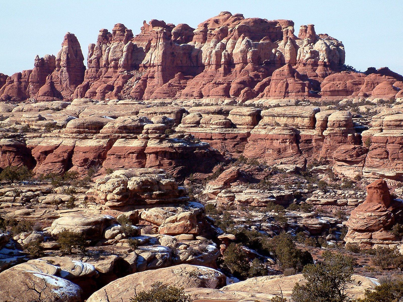 Plate LIV
The Needles
desertCanyonlands National Park, Needles District, Utah
A city of stone towers with almost no one in the streets.
38.1° N · 109.8° WOpen plate →
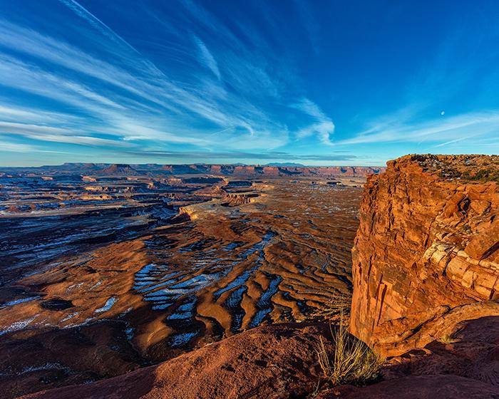 Plate LV
Island in the Sky
canyonCanyonlands National Park, north mesa, Utah
A tableland with two rivers cutting the floor out from under it.
38.5° N · 109.8° WOpen plate →
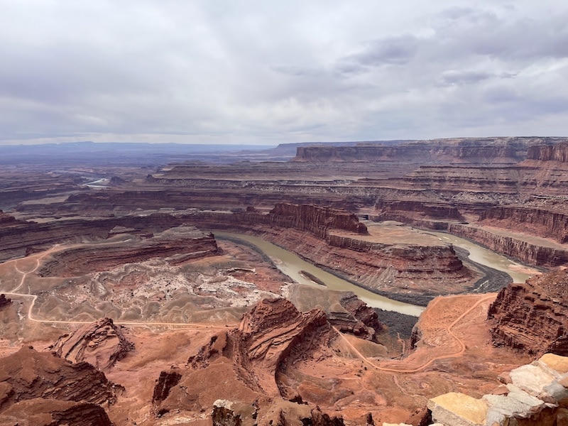 Plate LVI
Dead Horse Point
canyonDead Horse Point State Park, near Moab, Utah
A peninsula of stone hanging over a river that has nowhere to hurry.
38.5° N · 109.7° WOpen plate →
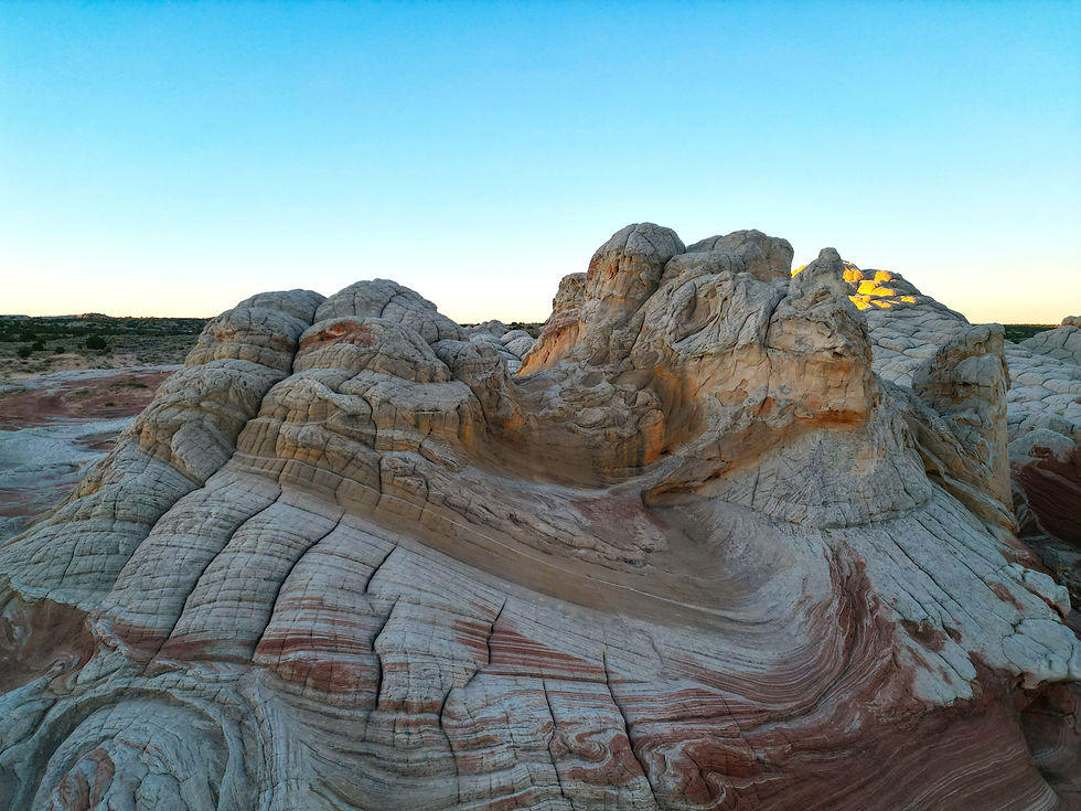 Plate LVII
White Pocket
desertVermilion Cliffs, Paria Plateau, Arizona
A stone that looks poured, then frozen mid-pour.
37.0° N · 111.9° WOpen plate →
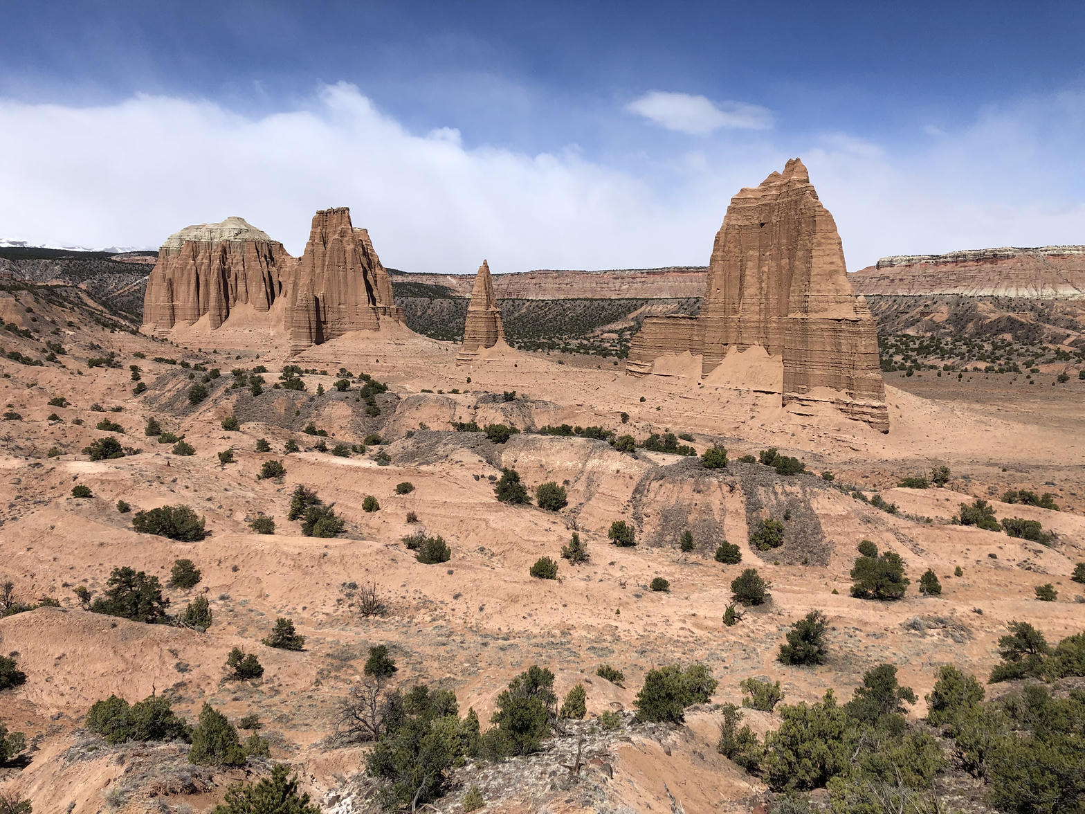 Plate LVIII
Cathedral Valley
desertCapitol Reef National Park, north district, Utah
A desert nave with two red temples and no congregation.
38.5° N · 111.1° WOpen plate →
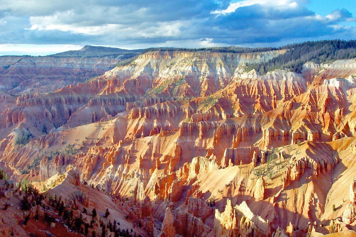 Plate LIX
Cedar Breaks
canyonMarkagunt Plateau, Utah
A Bryce that kept the altitude and lost the crowds.
37.6° N · 112.8° WOpen plate →
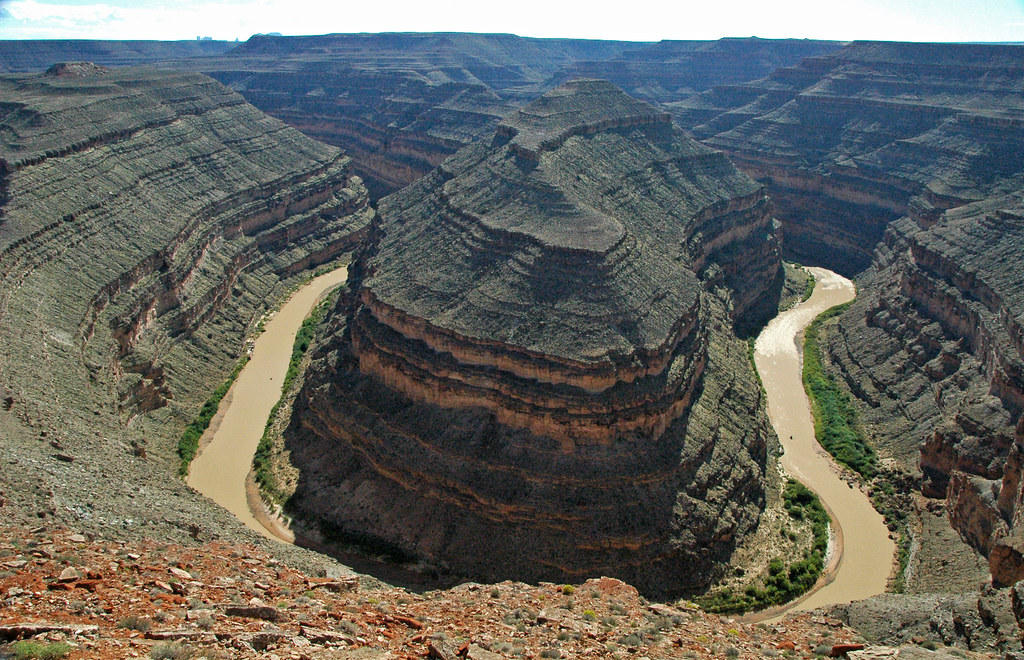 Plate LX
Goosenecks
canyonSan Juan River, near Mexican Hat, Utah
A river that refused to straighten, and cut down instead.
37.2° N · 109.9° WOpen plate →
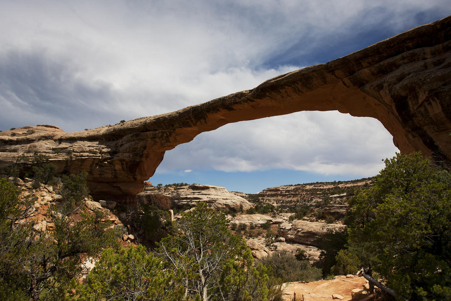 Plate LXI
Natural Bridges
desertWhite Canyon, Cedar Mesa, Utah
A quieter Arches, cut by water instead of frost.
37.6° N · 110.0° WOpen plate →
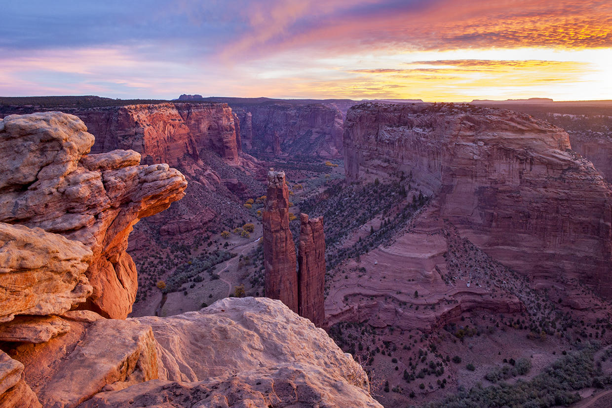 Plate LXII
Canyon de Chelly
canyonNavajo Nation, near Chinle, Arizona
A canyon that is still a home, not only a view.
36.1° N · 109.5° WOpen plate →
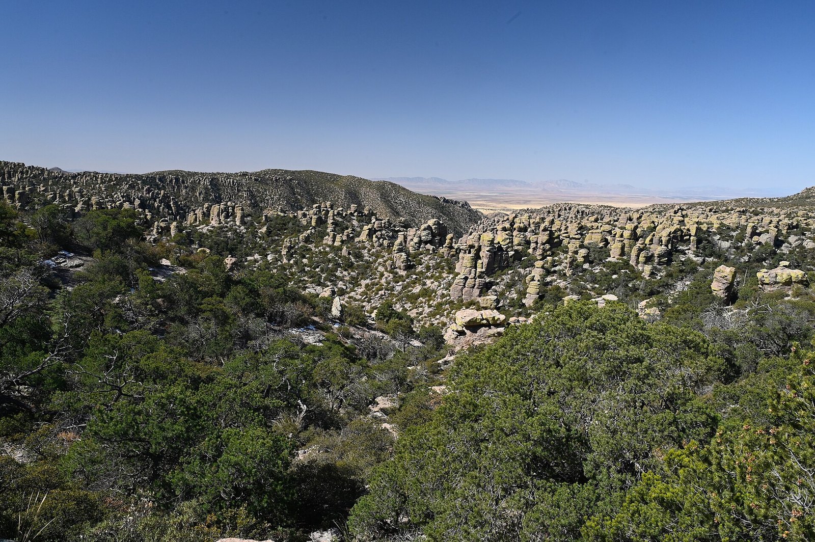 Plate LXIII
Chiricahua
volcanicChiricahua Mountains, Sky Island, Arizona
A mountain that exploded, then learned to balance.
32.0° N · 109.4° WOpen plate →
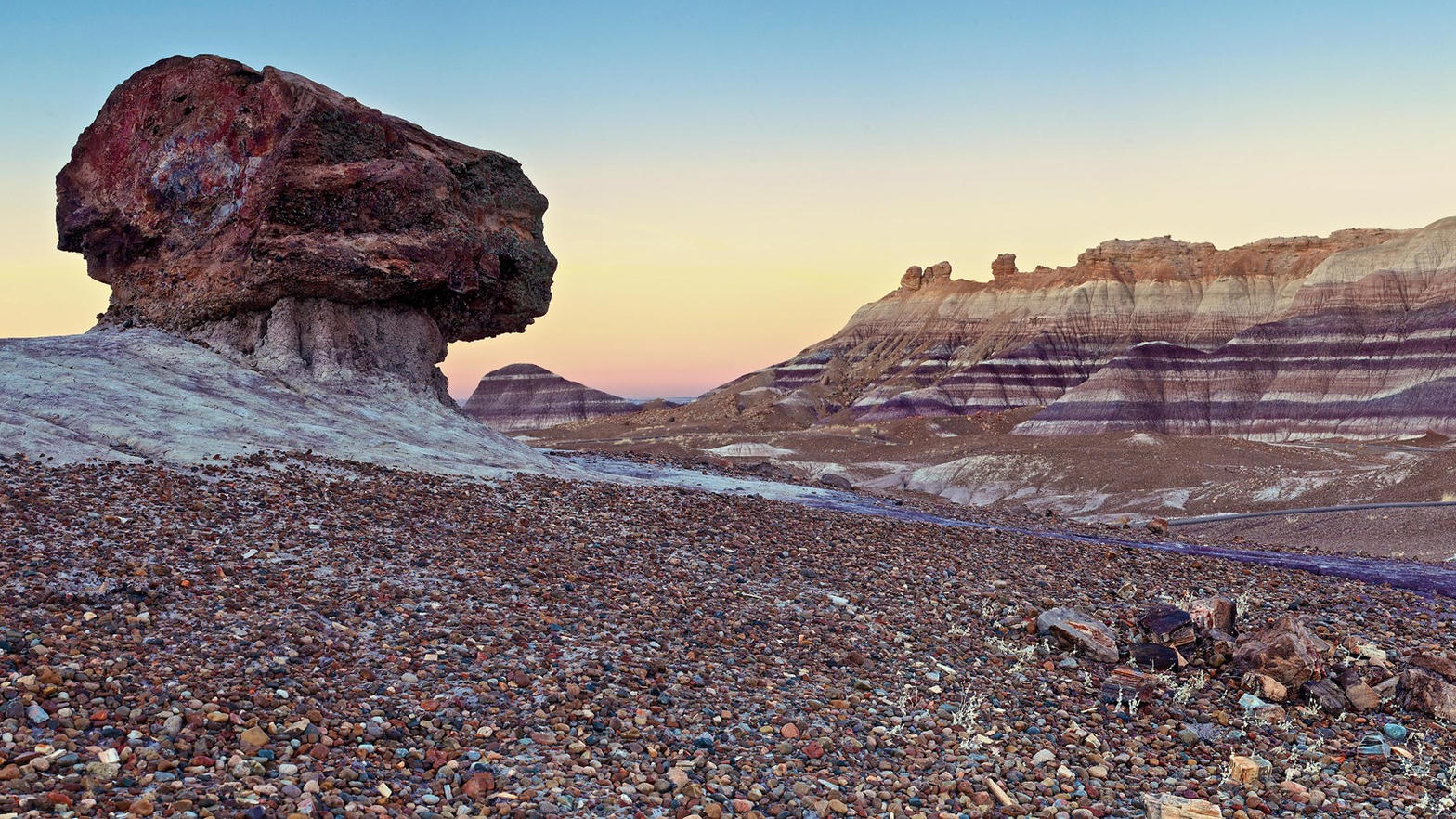 Plate LXIV
Blue Mesa
desertPetrified Forest National Park, Arizona
A hillside wearing the colors of a vanished river.
34.9° N · 109.8° WOpen plate →
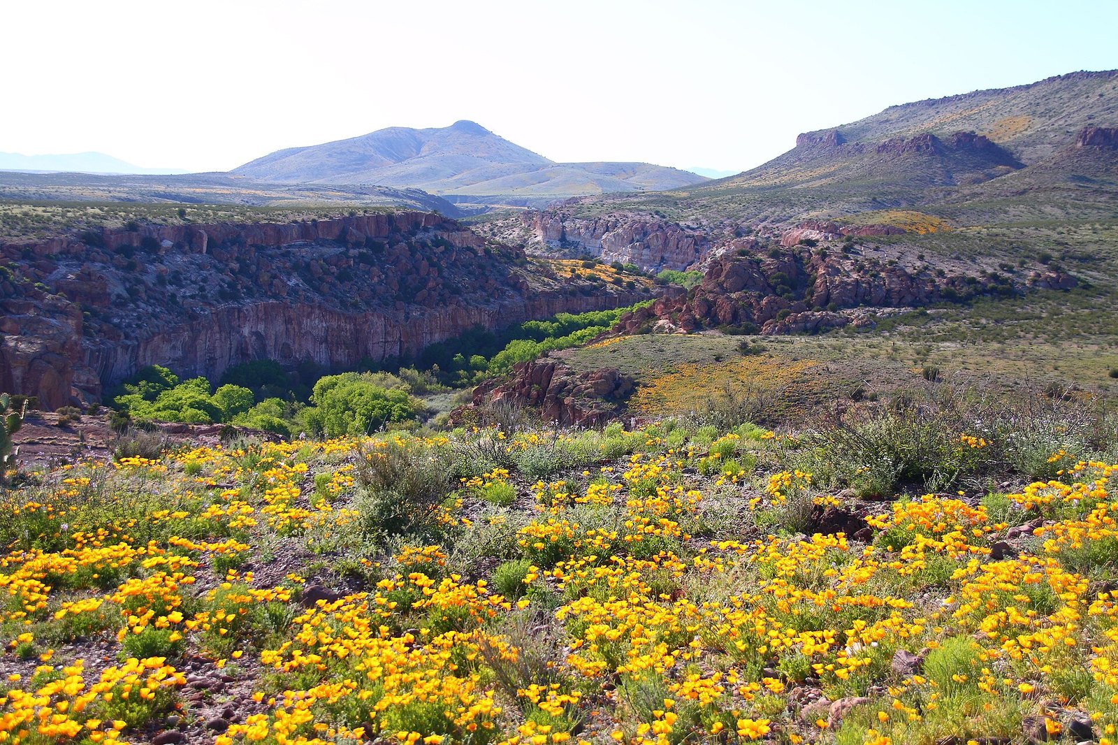 Plate LXXXII
Gila Wilderness
forestGila National Forest, Mogollon Mountains, New Mexico
The place the idea of wilderness was invented.
33.2° N · 108.3° WOpen plate →
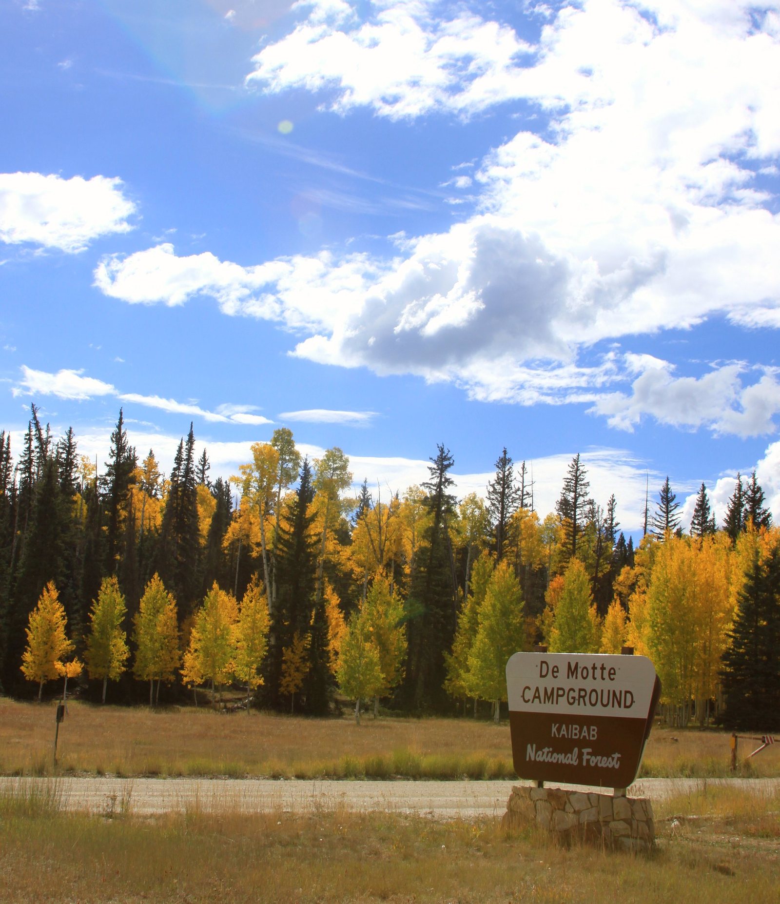 Plate LXXXVI
Kaibab Plateau
forestKaibab National Forest, North Rim country, Arizona
A yellow-pine forest standing on the canyon’s other door.
36.4° N · 112.1° WOpen plate →
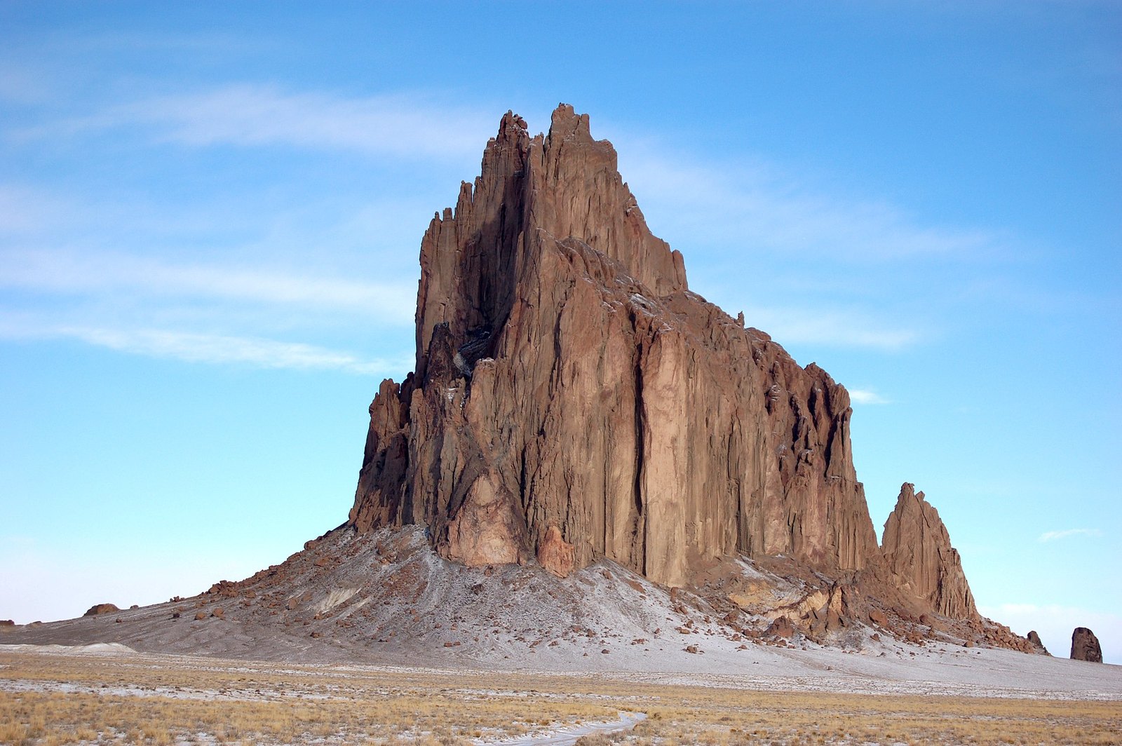 Plate CXI
Shiprock
volcanicNavajo Nation, San Juan County, New Mexico
A ship of stone, and a spine of dike.
36.7° N · 108.8° WOpen plate →
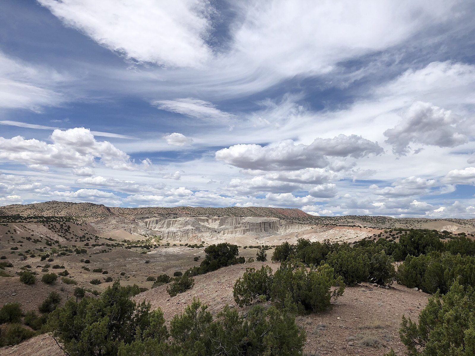 Plate CXII
Plaza Blanca
hillsoutside Abiquiu, New Mexico
A white garden the wind is still carving.
36.2° N · 106.3° WOpen plate →
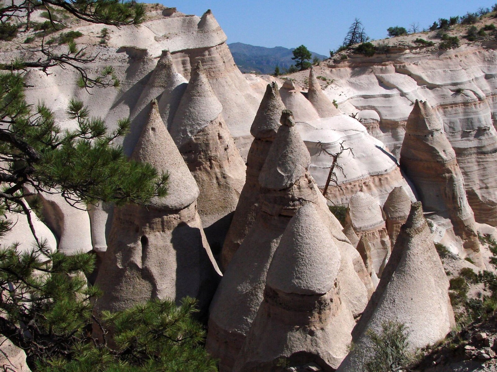 Plate CXIII
Kasha-Katuwe Tent Rocks
volcanicJemez volcanic field, near Cochiti, New Mexico
A canyon of tents the volcano pitched and left.
35.7° N · 106.4° WOpen plate →
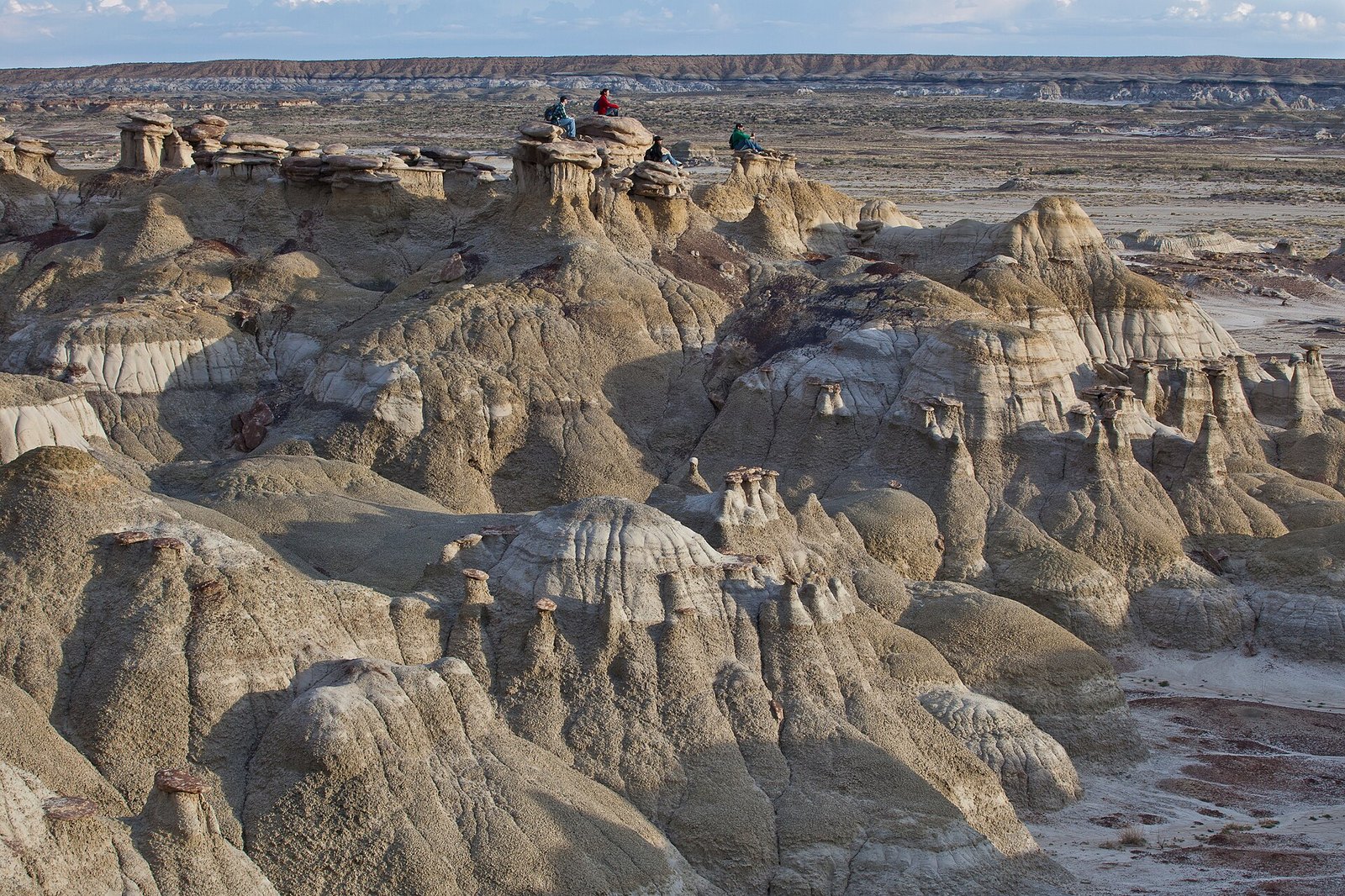 Plate CXIV
Ah-Shi-Sle-Pah
desertSan Juan Basin, New Mexico
A wilderness that learned to grow wings.
36.2° N · 107.9° WOpen plate →
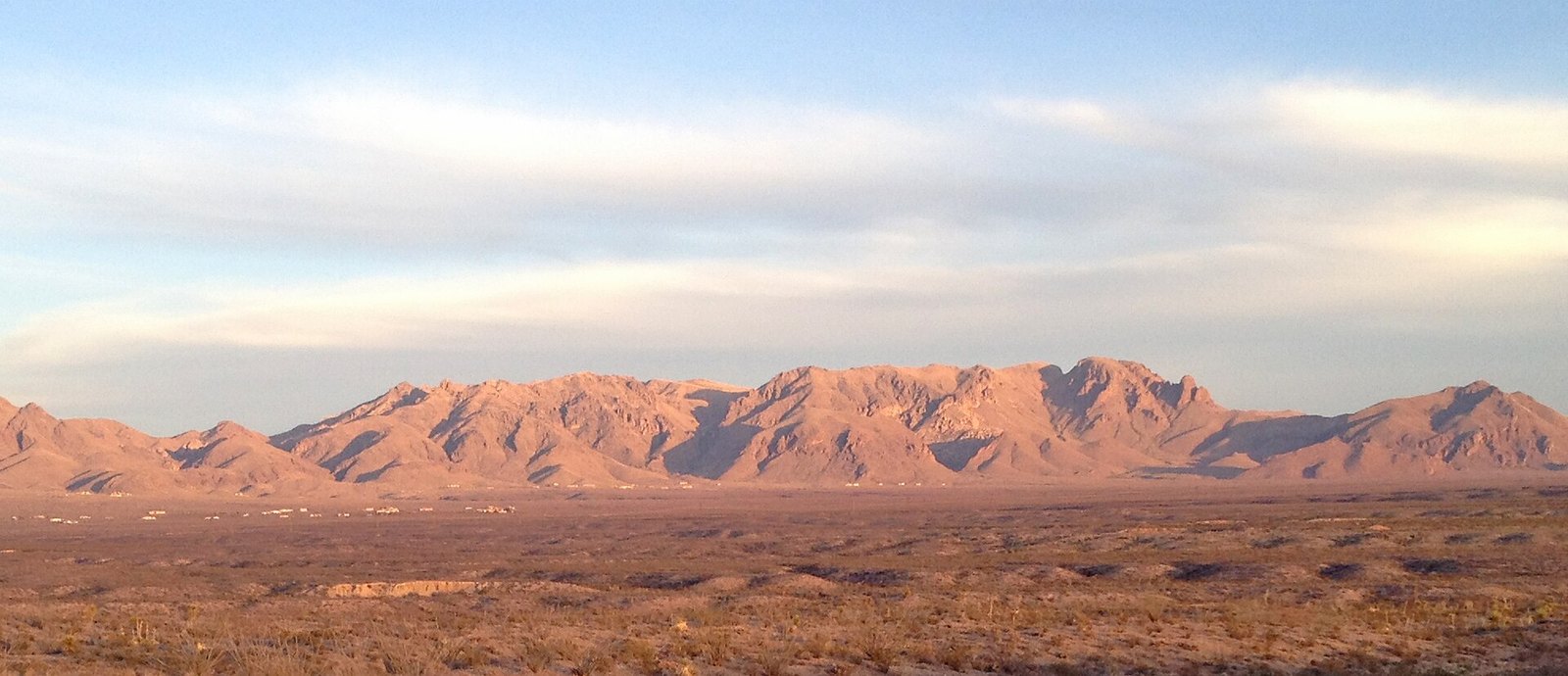 Plate CXV
Organ Mountains
hillseast of Las Cruces, New Mexico
A mountain range that learned to be a spine.
32.3° N · 106.6° WOpen plate →
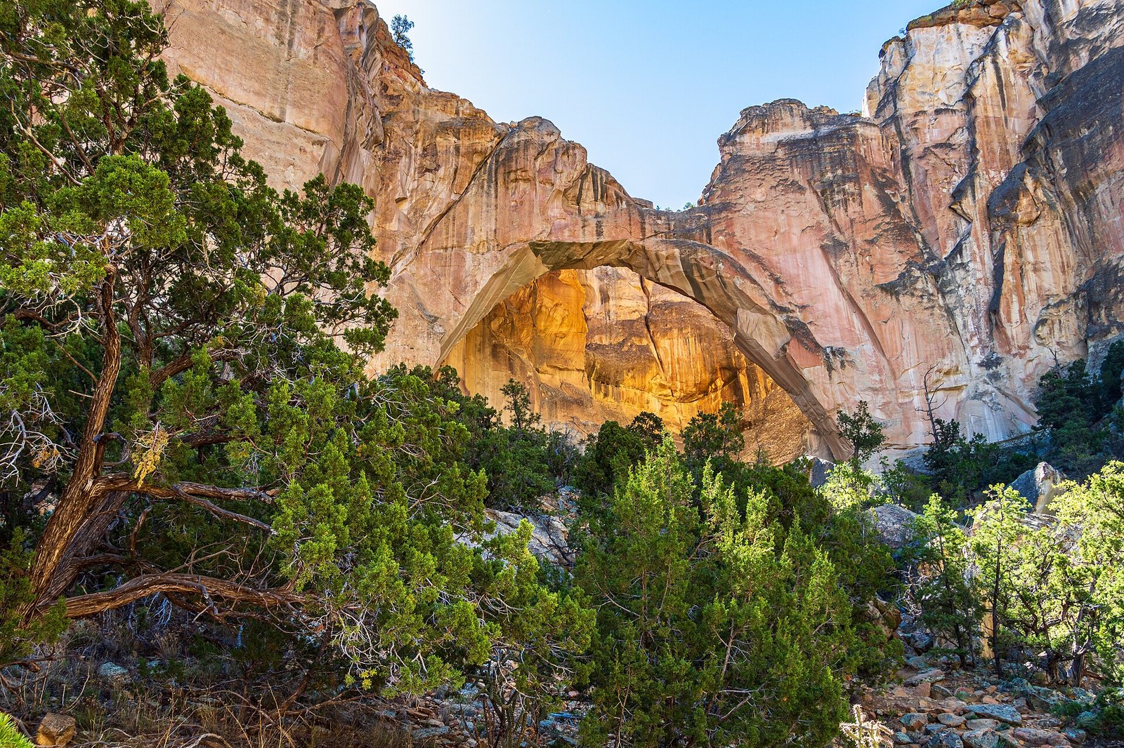 Plate CXVII
La Ventana
volcanicEl Malpais National Monument, New Mexico
A window the lava never reached.
35.0° N · 107.9° WOpen plate →
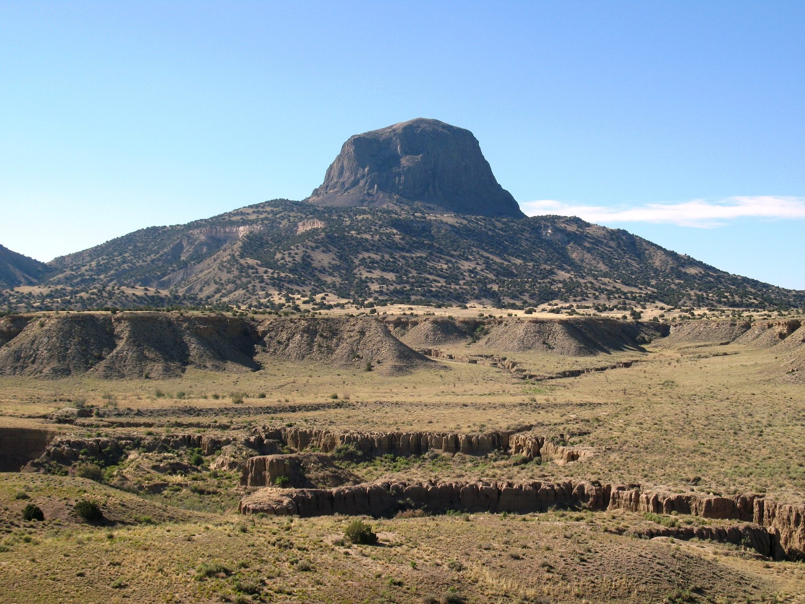 Plate CXVIII
Cabezon Peak
volcanicRio Puerco Valley, New Mexico
A mountain that is only the throat of one.
35.6° N · 107.1° WOpen plate →
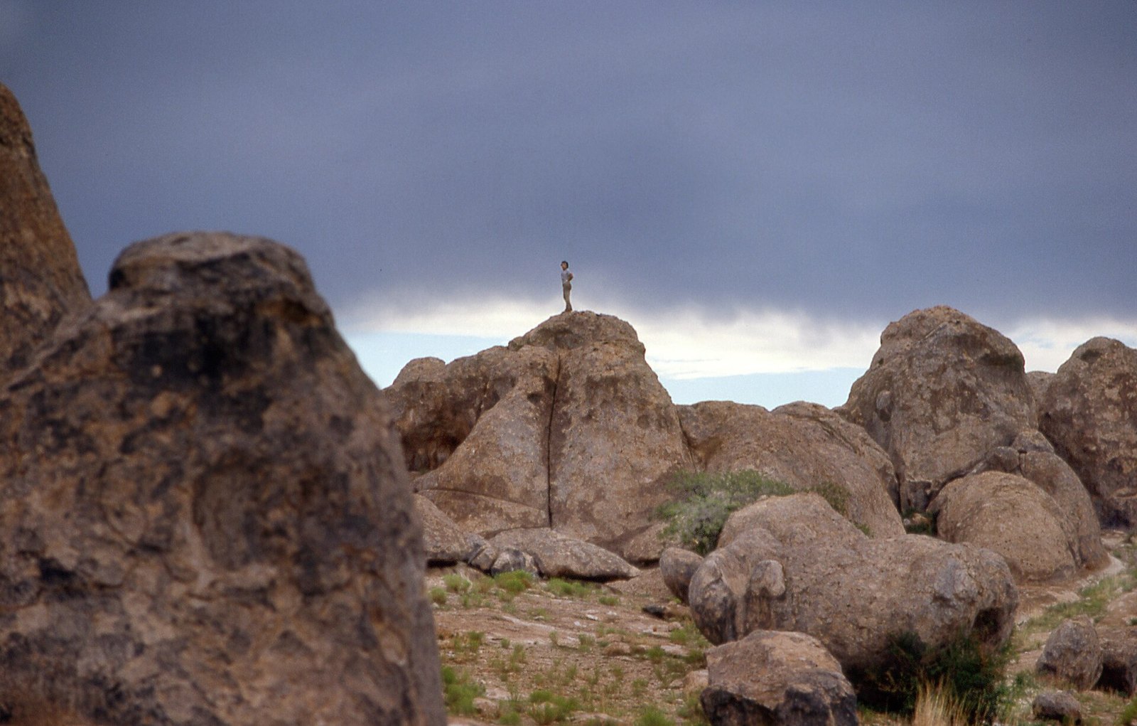 Plate CXX
City of Rocks
volcanicthe Bootheel, near Faywood, New Mexico
A town the ash built and the weather unbuilt.
32.6° N · 108.0° WOpen plate →
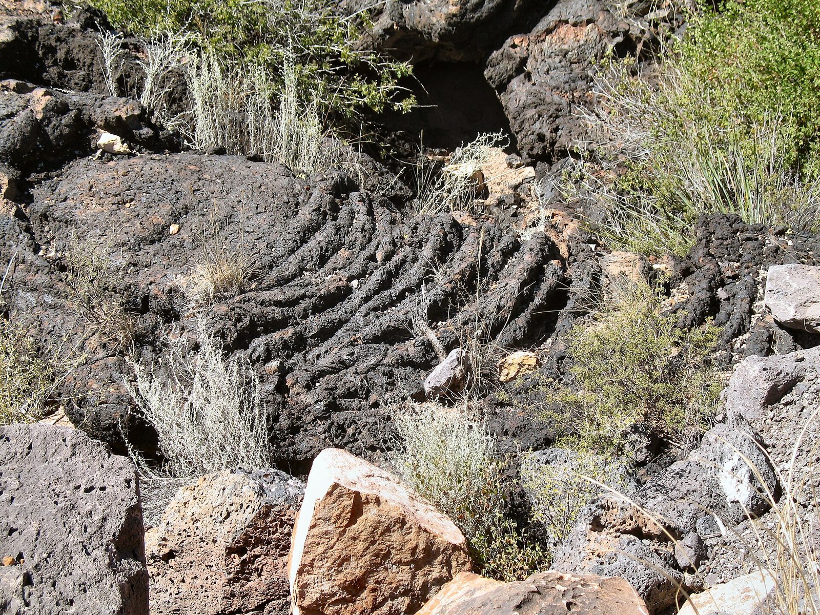 Plate CXXI
Valley of Fires
volcanicCarrizozo malpais, New Mexico
A fire that cooled in place and kept the shape.
33.7° N · 105.9° WOpen plate →
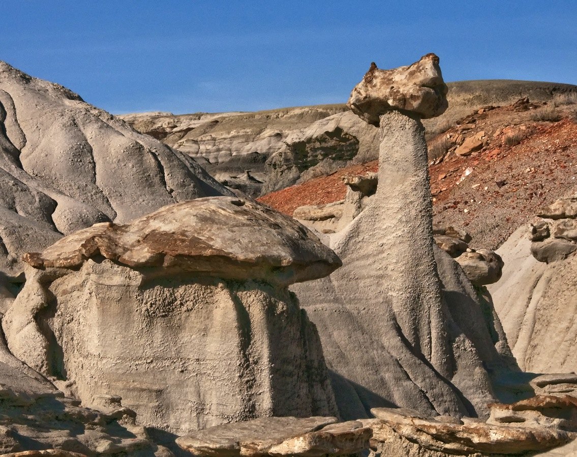 Plate CXXIII
Bisti / De-Na-Zin
desertSan Juan Basin, New Mexico
A wilderness that looks like another planet’s shore.
36.3° N · 108.2° WOpen plate →
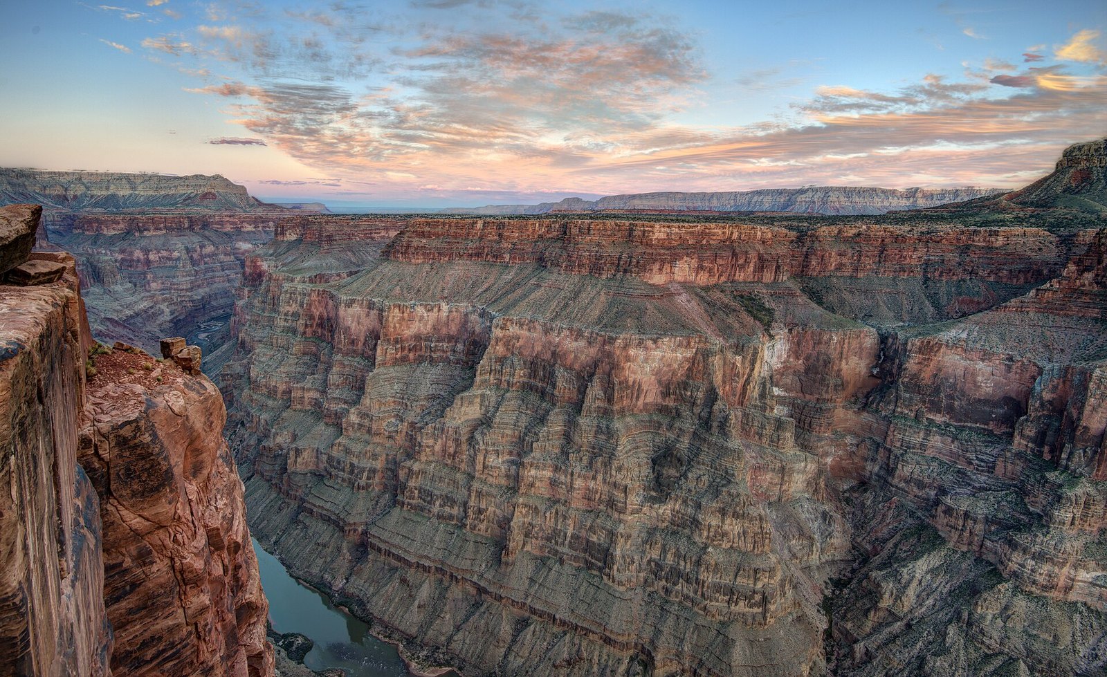 Plate CXXIV
Toroweap Overlook
canyonnorth rim of the Grand Canyon, remote west, Arizona
The canyon without the crowd.
36.2° N · 113.1° WOpen plate →
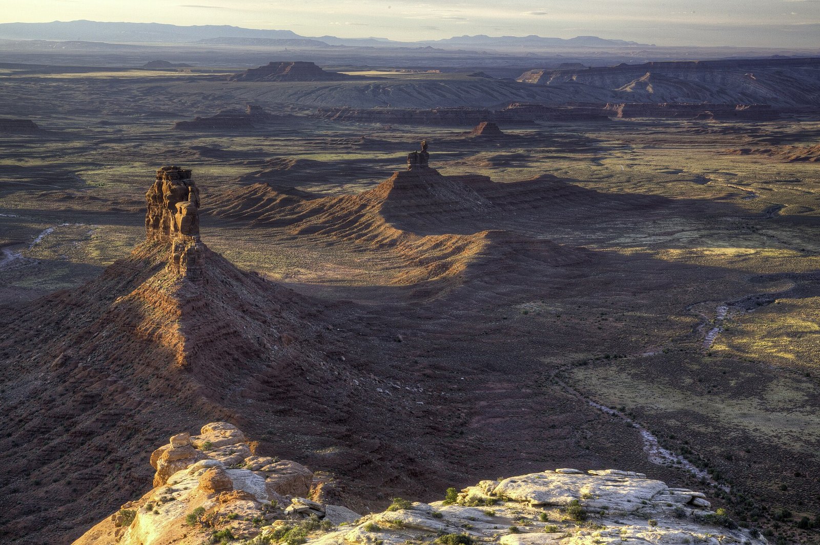 Plate CXXV
Valley of the Gods
desertCedar Mesa, Utah
The valley the buses forgot.
37.3° N · 109.9° WOpen plate →
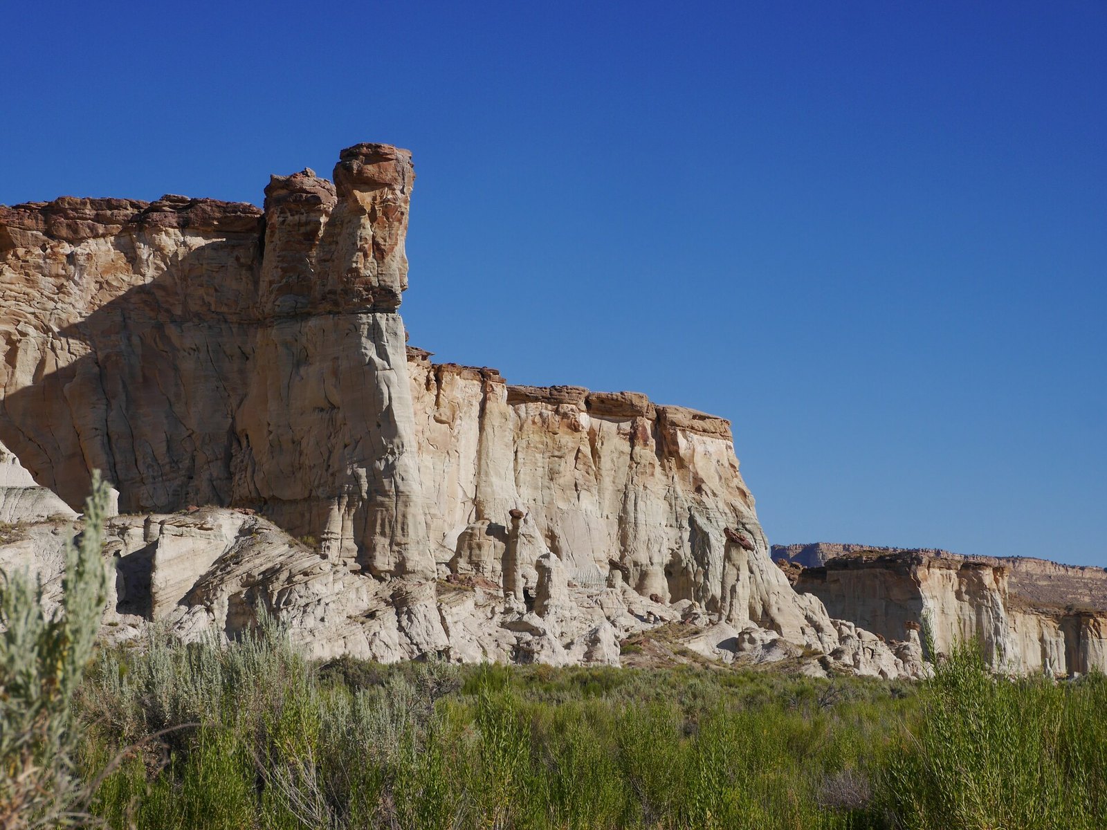 Plate CXXVI
Wahweap Hoodoos
desertGrand Staircase–Escalante, near Big Water, Utah
A choir of white stone in an empty wash.
37.1° N · 111.5° WOpen plate →
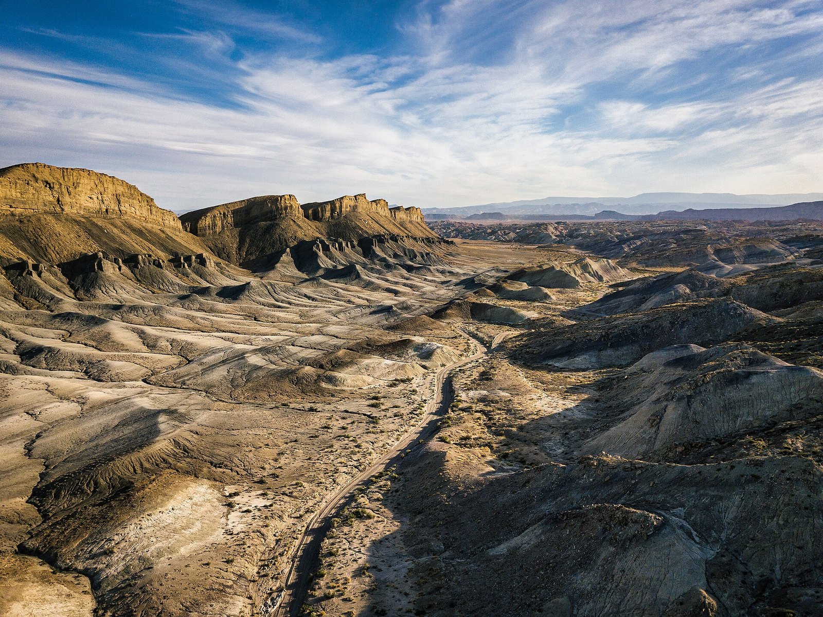 Plate CXXVII
Factory Butte
desertFactory Bench, near Hanksville, Utah
A butte that looks like it belongs to another planet.
38.3° N · 110.9° WOpen plate →
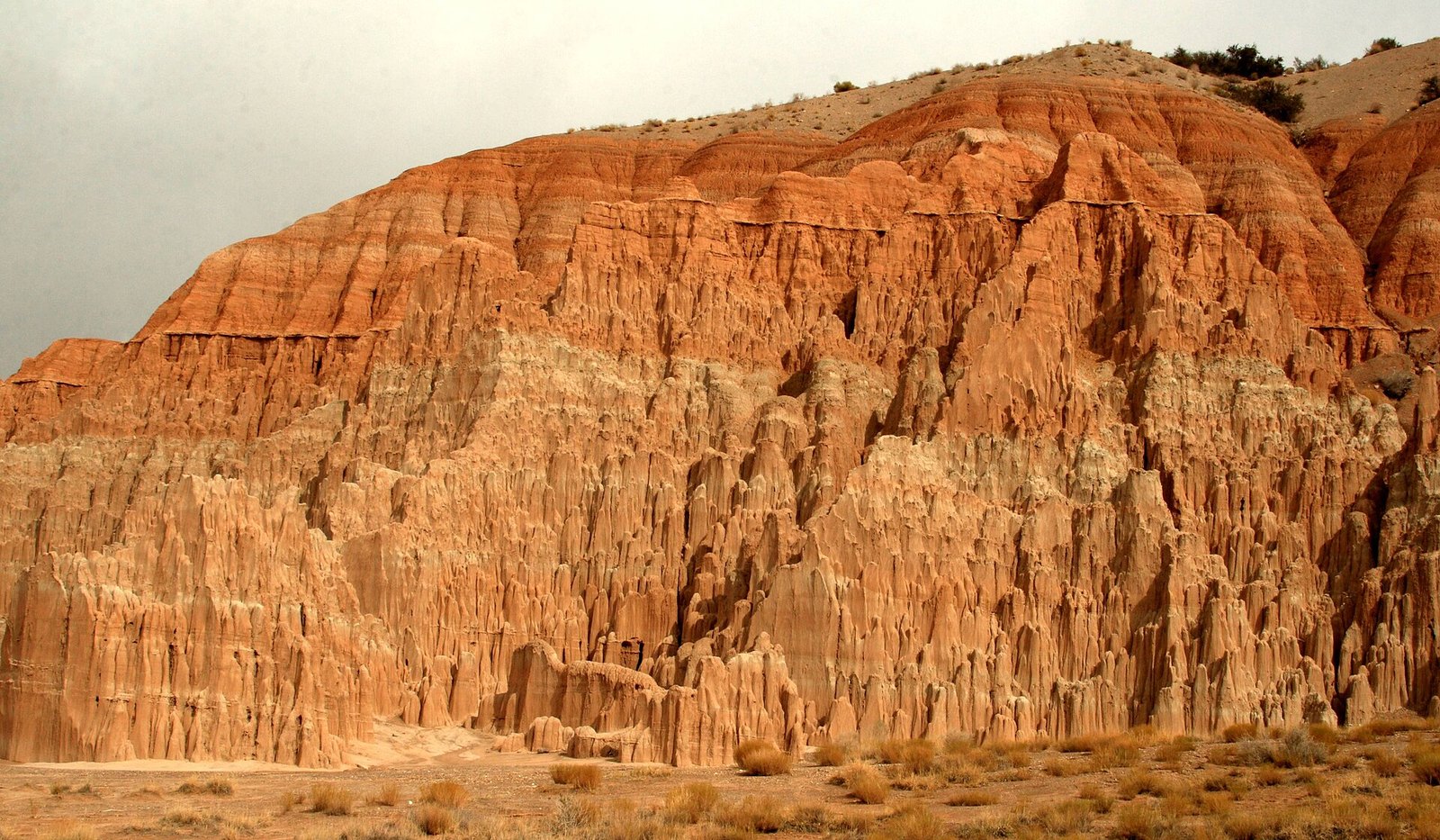 Plate CXXVIII
Cathedral Gorge
deserteastern Nevada, near Panaca, Nevada
A church the weather built out of lakebed.
37.8° N · 114.4° WOpen plate →
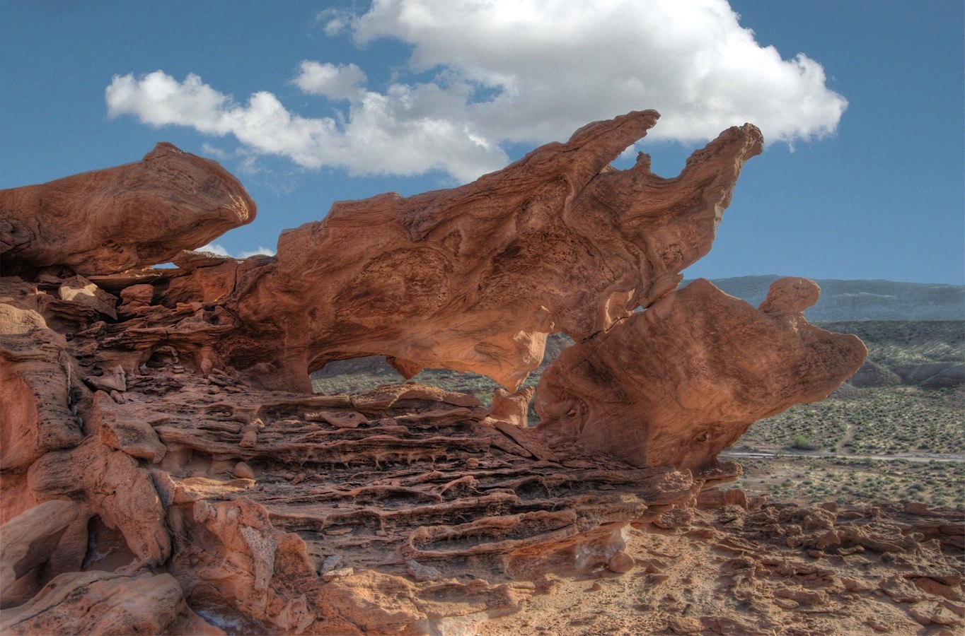 Plate CXXIX
Little Finland
desertGold Butte, northeast of Las Vegas, Nevada
A red stone that learned to be lace.
36.4° N · 114.2° WOpen plate →
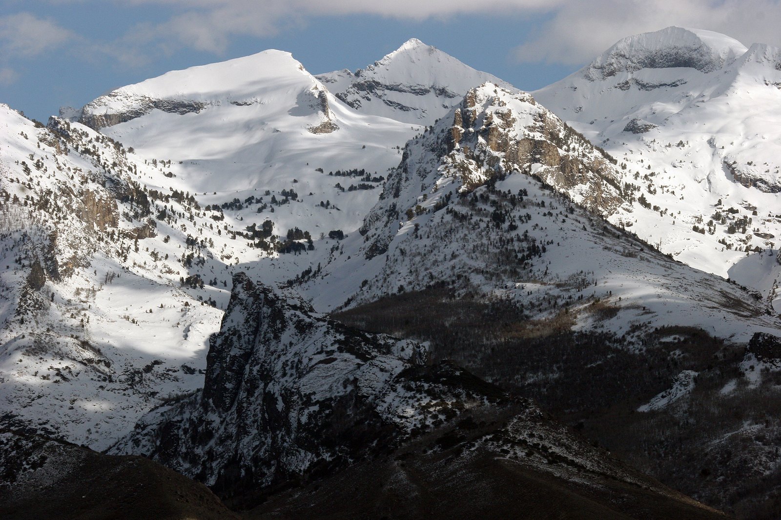 Plate CXXXIV
Ruby Mountains
alpineElko County, Lamoille Canyon, Nevada
An alpine range hiding in a desert state.
40.6° N · 115.5° WOpen plate →
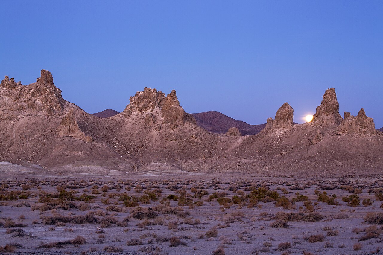 Plate CXXXVI
Trona Pinnacles
desertSearles Lake, near Ridgecrest, California
A stone forest that grew underwater, then the water left.
35.6° N · 117.4° WOpen plate →
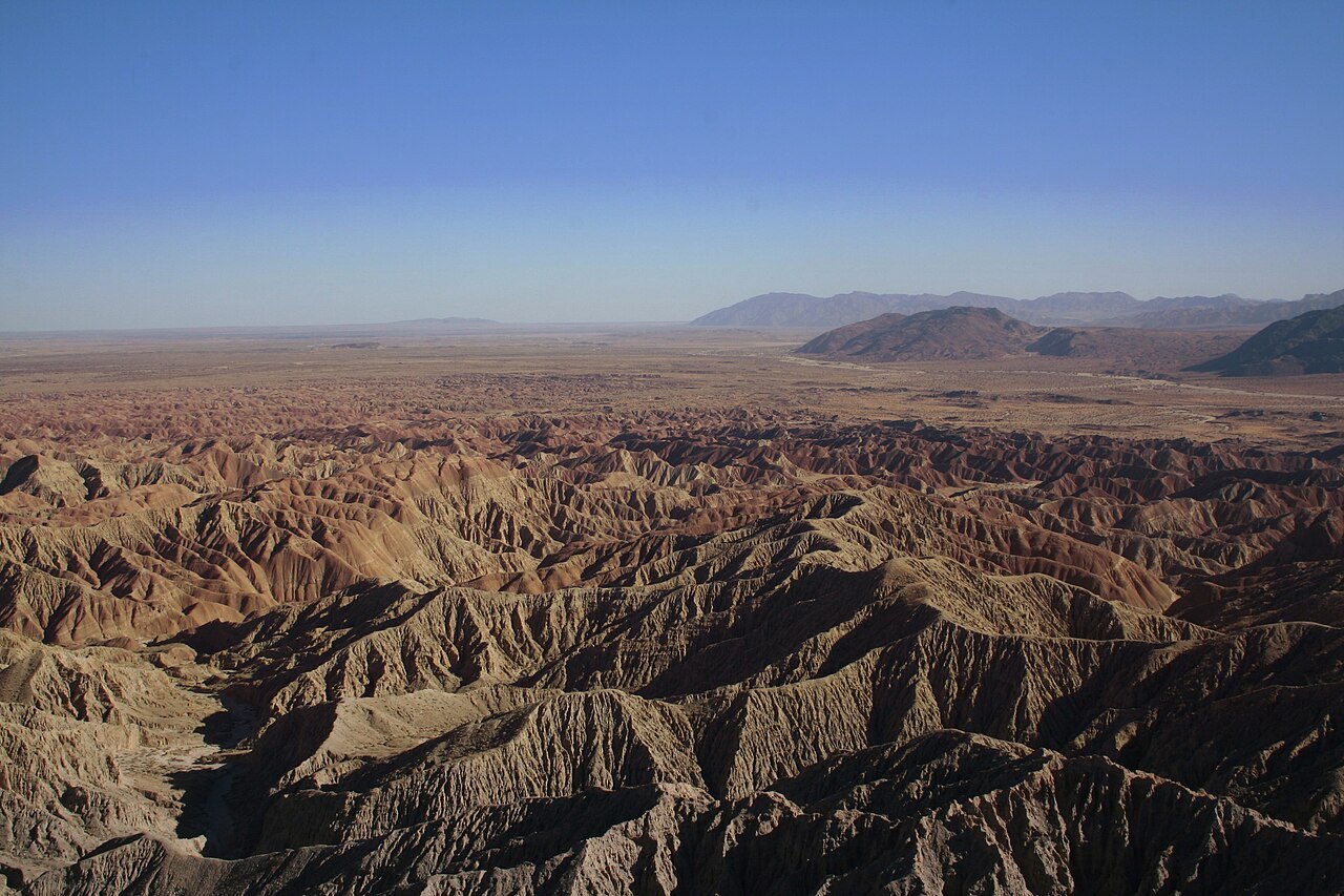 Plate CXXXVII
Anza-Borrego
desertColorado Desert, Font’s Point, California
A desert that hides an ocean of folded earth.
33.3° N · 116.2° WOpen plate →
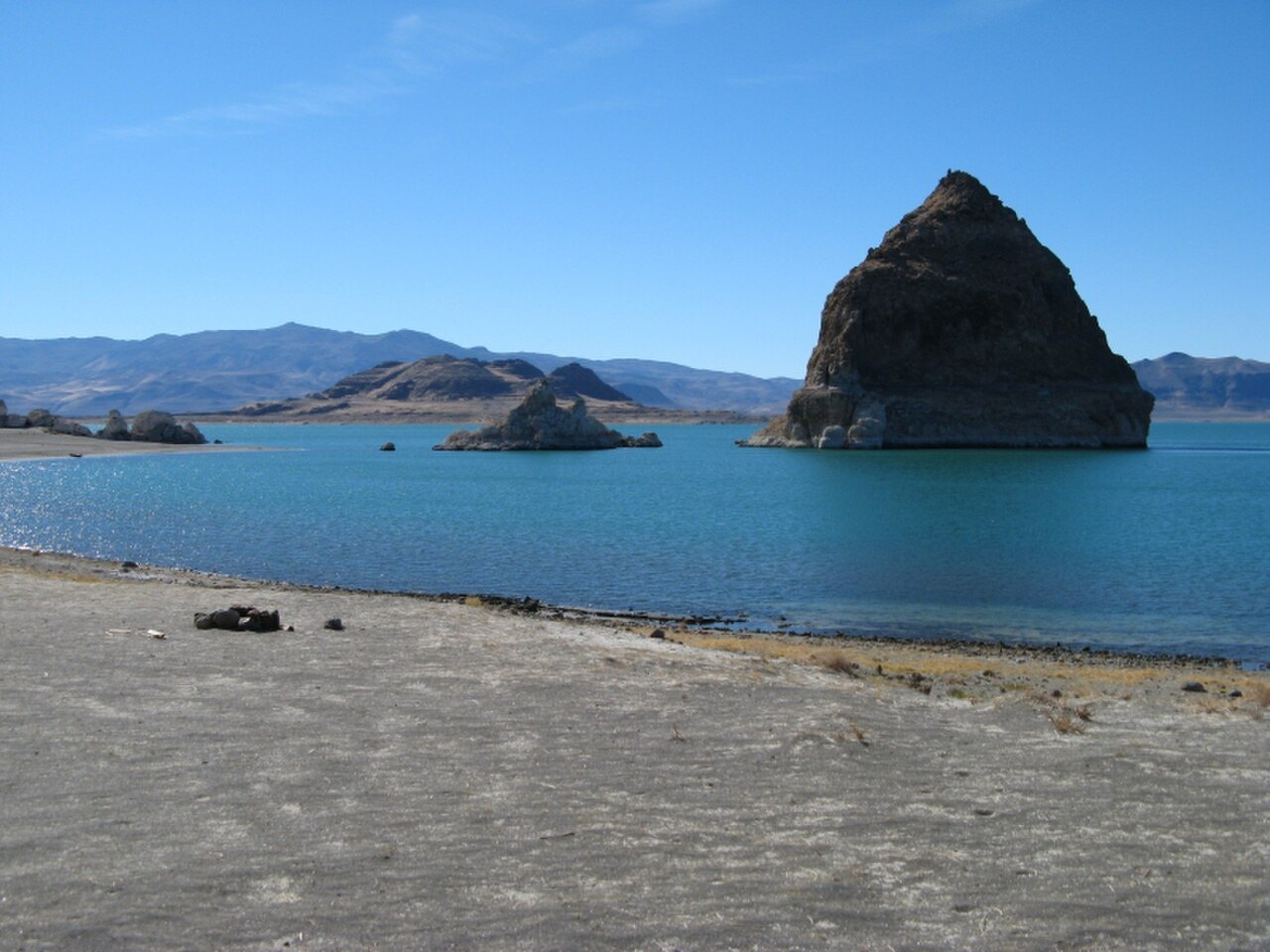 Plate CXL
Pyramid Lake
desertPyramid Lake Paiute Reservation, Nevada
A desert sea with a pyramid for an island.
40.0° N · 119.6° WOpen plate →
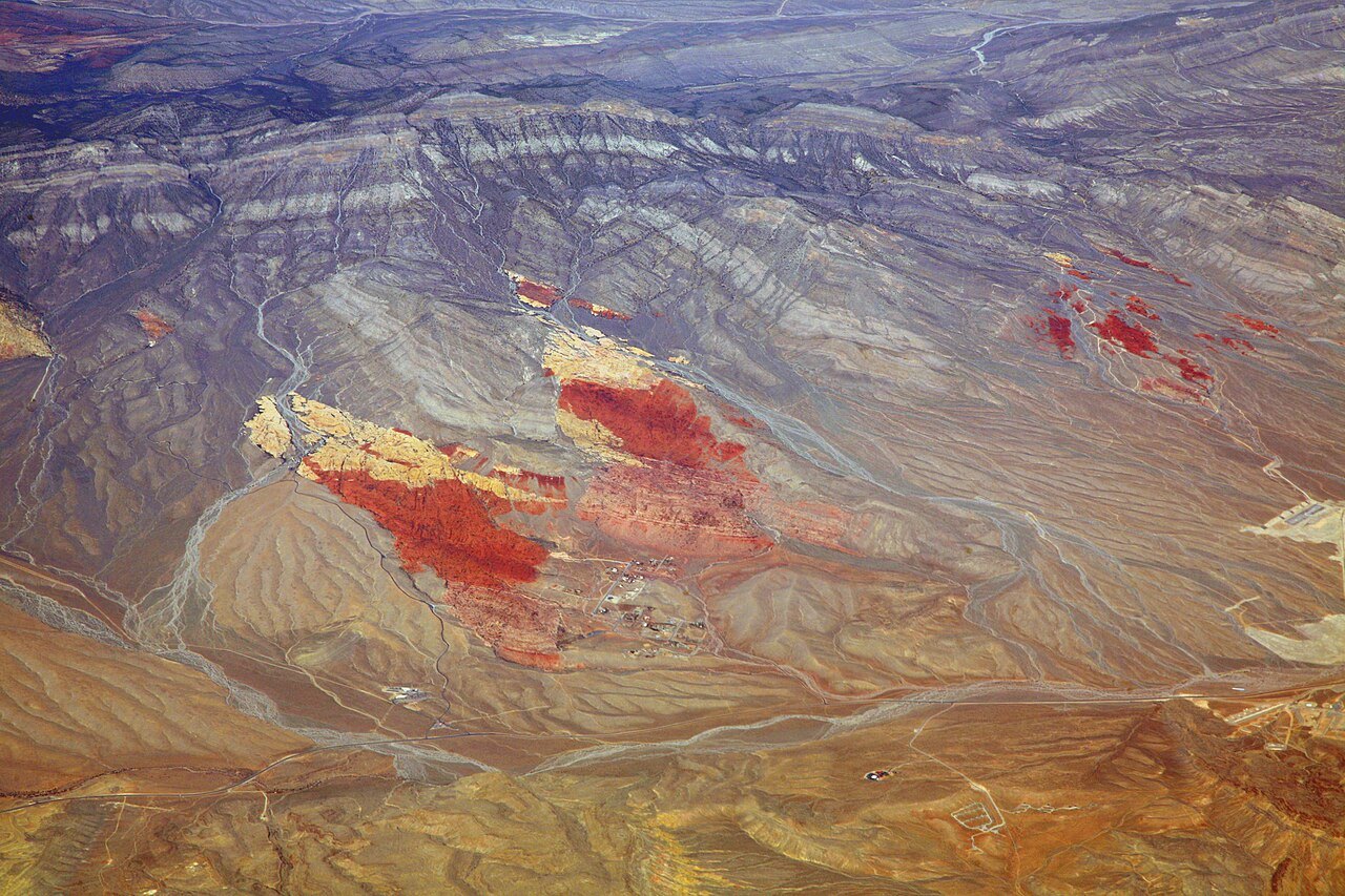 Plate CXLI
Red Rock Canyon
desertSpring Mountains, west of Las Vegas, Nevada
Red stone the city almost hid.
36.1° N · 115.4° WOpen plate →
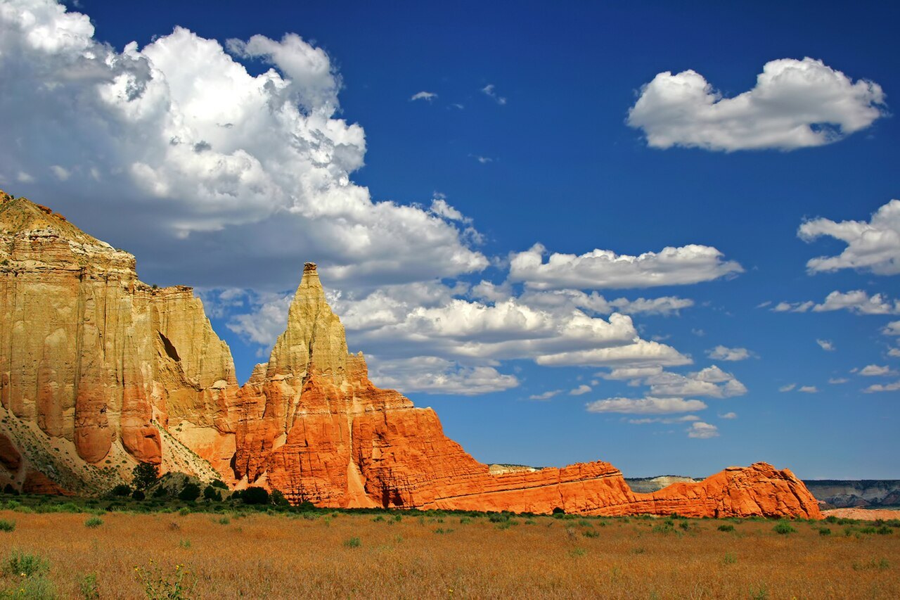 Plate CXLVI
Kodachrome Basin
desertGrand Staircase, near Cannonville, Utah
Stone chimneys named for a color of film.
37.5° N · 112.0° WOpen plate →
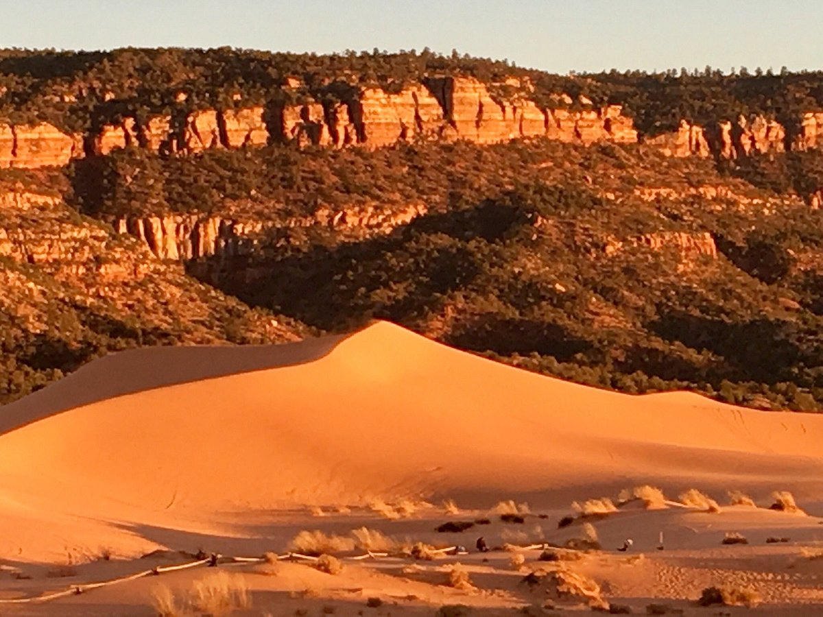 Plate CXLVII
Coral Pink Dunes
dunesouth of Mount Carmel Junction, Utah
Sand that is still the mountain, walking.
37.0° N · 112.7° WOpen plate →
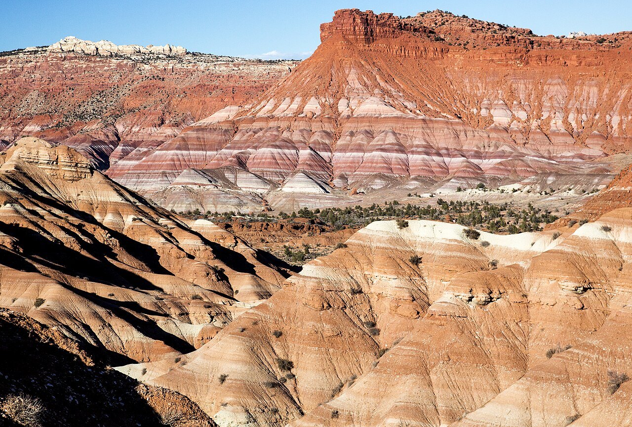 Plate CXLVIII
Calf Creek
canyonGrand Staircase–Escalante, Utah
A waterfall the canyon kept for itself.
37.8° N · 111.4° WOpen plate →
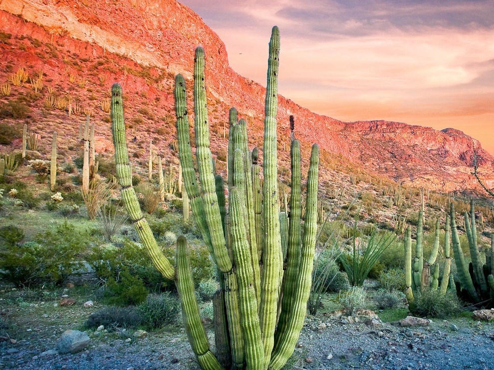 Plate CLI
Organ Pipe
desertOrgan Pipe Cactus National Monument, Arizona
A cactus forest that barely crosses the border.
32.0° N · 112.8° WOpen plate →
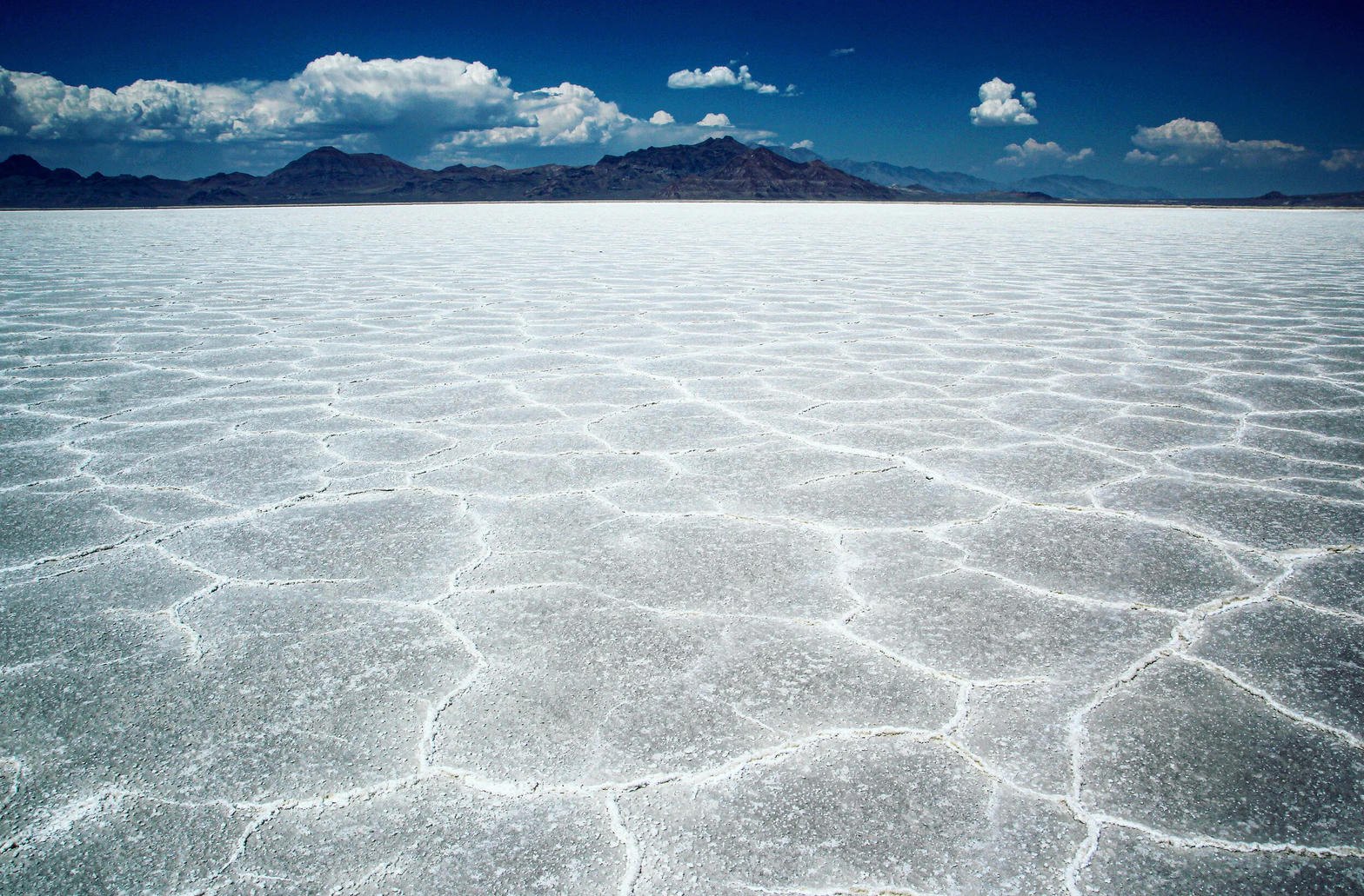 Plate CLII
Bonneville Salt Flats
desertwest of Wendover, Great Salt Lake Desert, Utah
A lake that dried into a sheet of light.
40.8° N · 113.8° WOpen plate →
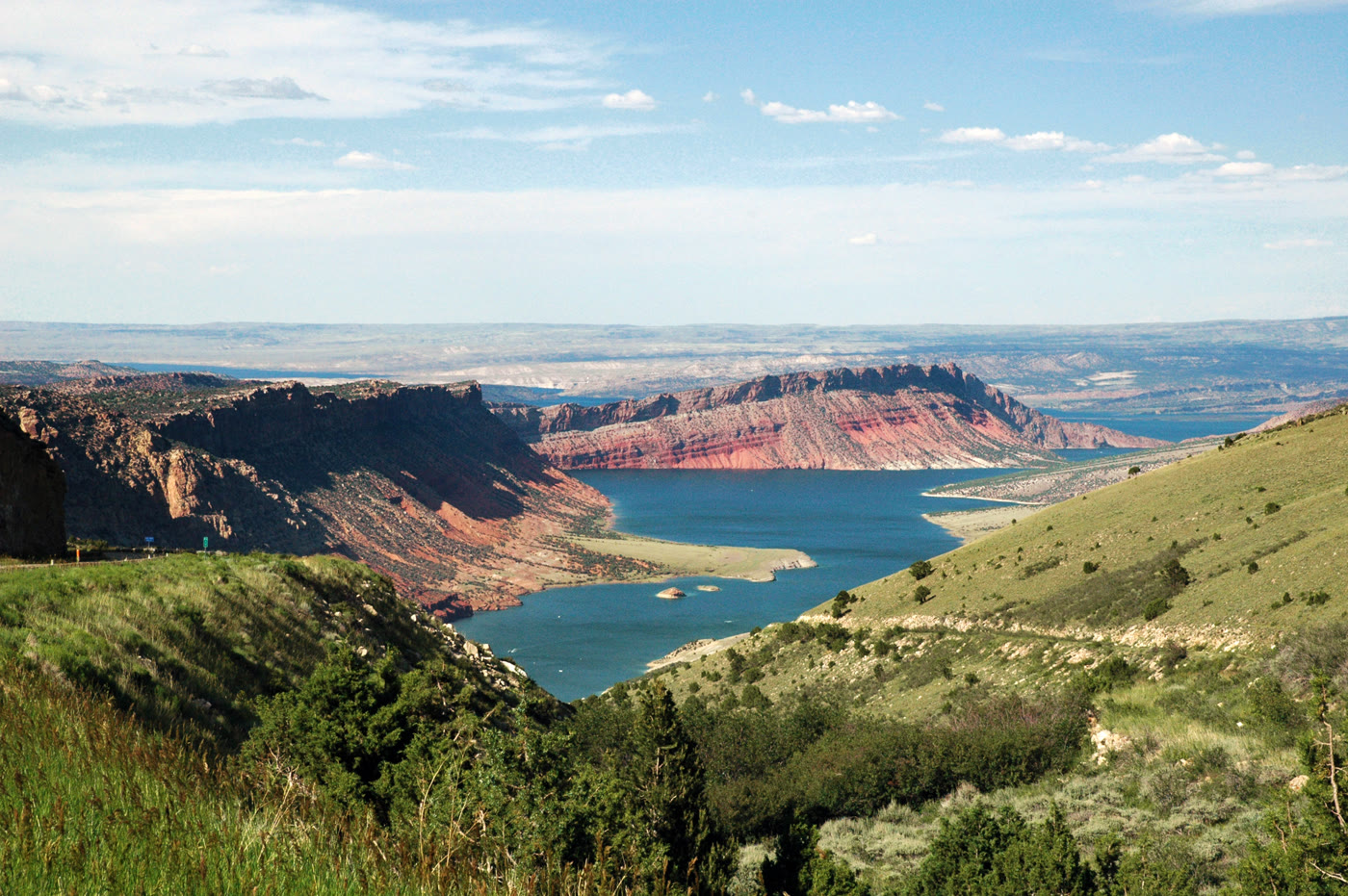 Plate CLXV
Flaming Gorge
canyonFlaming Gorge National Recreation Area, Utah / Wyoming
A red gorge the river turned into a lake.
40.9° N · 109.4° WOpen plate →
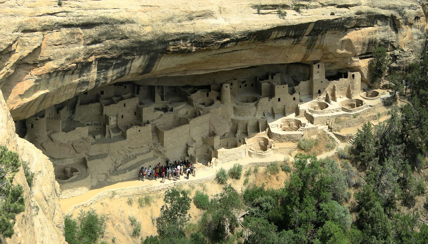 Plate CLXXXII
Mesa Verde
canyonCliff Palace, Mesa Verde National Park, Colorado
A village the cliff still holds.
37.2° N · 108.5° WOpen plate →
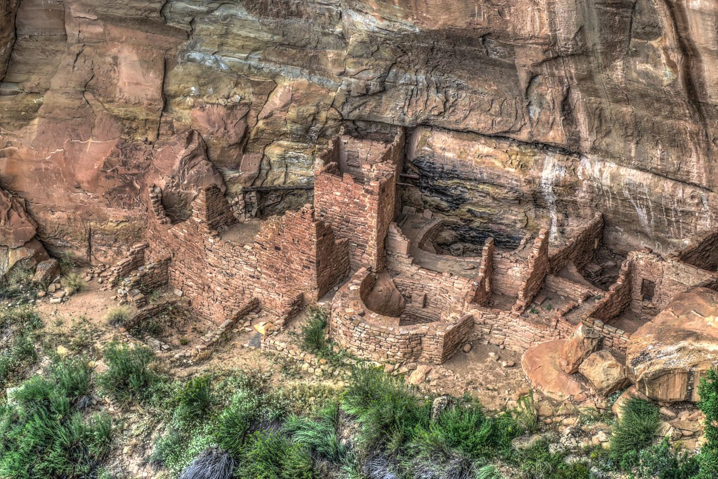 Plate CLXXXIII
Square Tower House
canyonMesa Verde National Park, Colorado
A tower the alcove kept standing.
37.2° N · 108.5° WOpen plate →
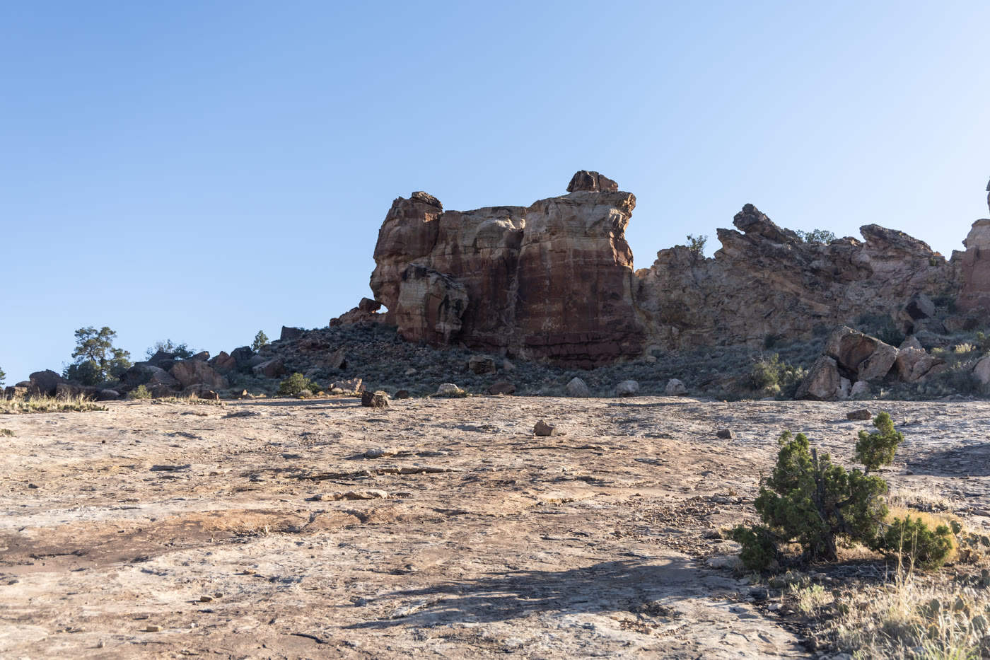 Plate CLXXXIV
Canyons of the Ancients
canyonwest of Cortez, BLM, Colorado
Homes set into red stone west of Cortez.
37.4° N · 109.0° WOpen plate →
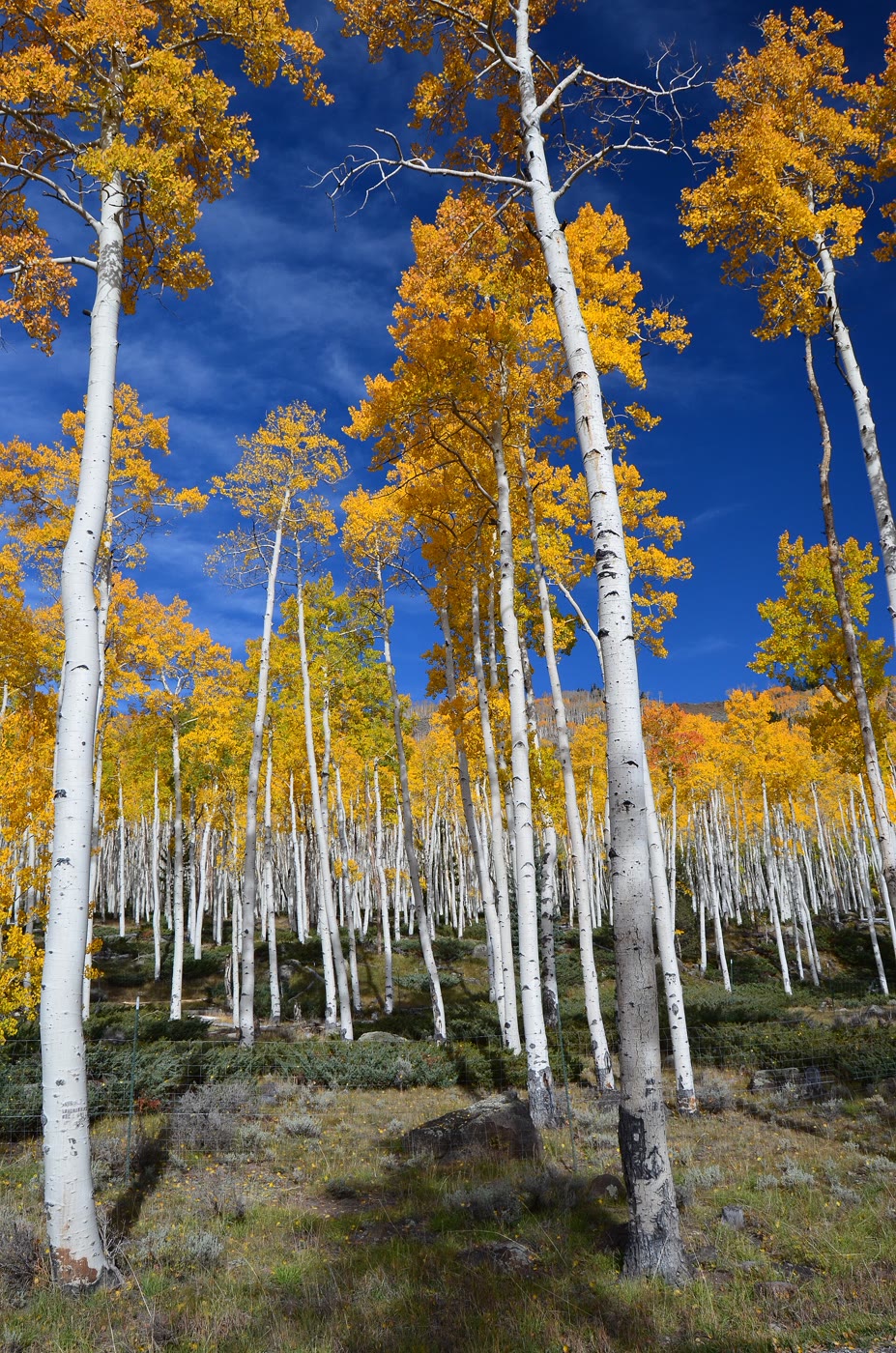 Plate CXCIV
Pando
forestFishlake National Forest, Utah
One tree that learned to be a forest.
38.5° N · 111.7° WOpen plate →
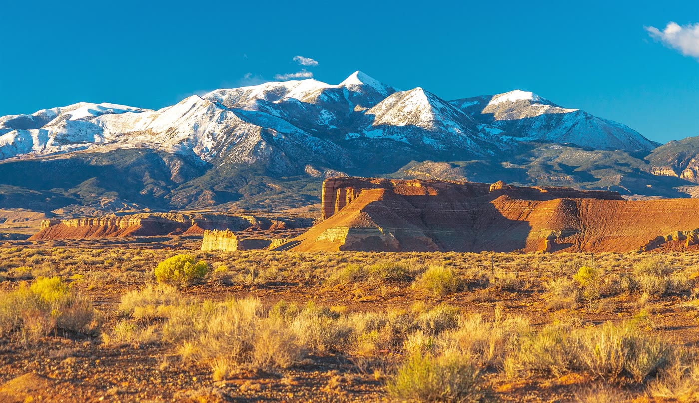 Plate CXCV
Mount Ellen
hillsHenry Mountains, Utah
A mountain that rose alone from the desert floor.
38.1° N · 110.8° WOpen plate →
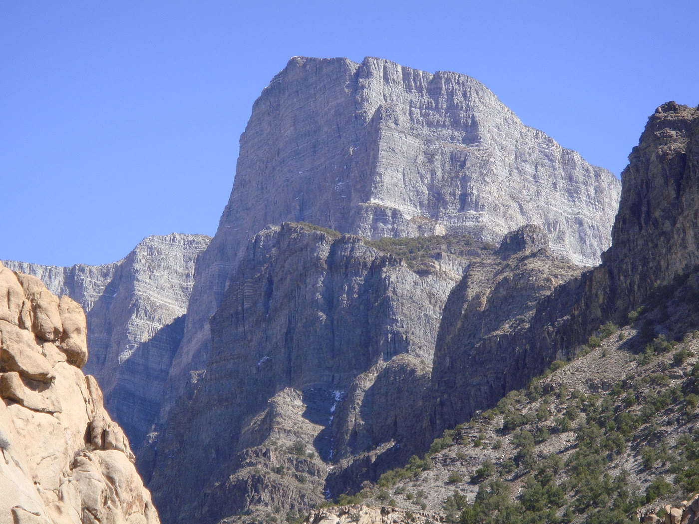 Plate CXCVI
Notch Peak
desertHouse Range, west of Delta, Utah
A limestone wall the desert stood on end.
39.1° N · 113.4° WOpen plate →
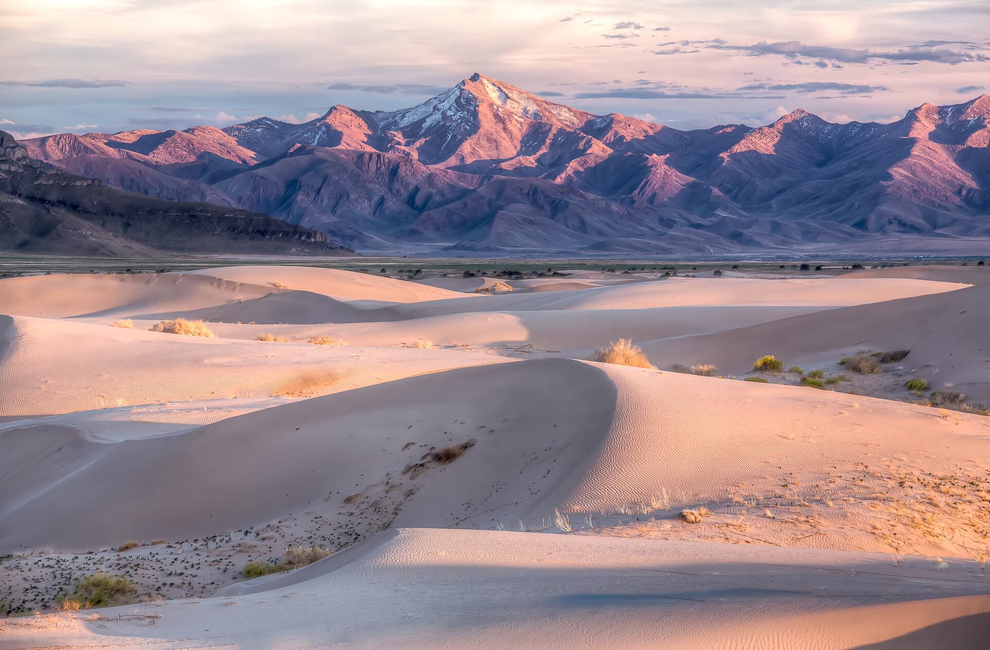 Plate CXCVII
Little Sahara
duneSevier Desert, Utah
A small Sahara the basin kept.
39.7° N · 112.3° WOpen plate →
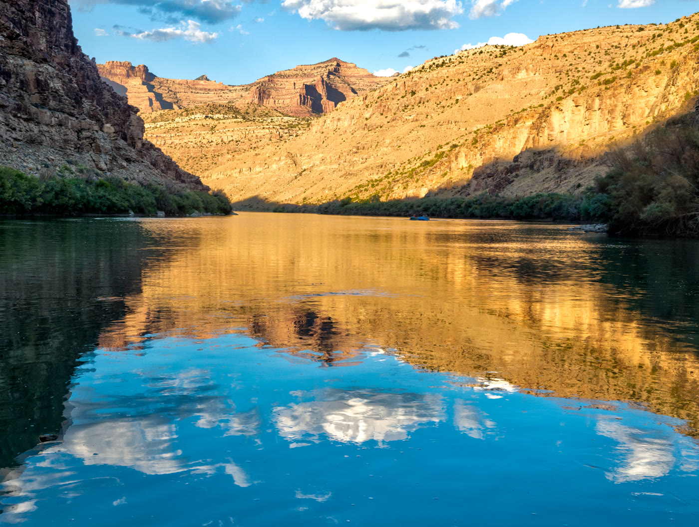 Plate CCV
Desolation Canyon
canyonGreen River, Utah
A river that kept its own distance.
39.5° N · 110.0° WOpen plate →
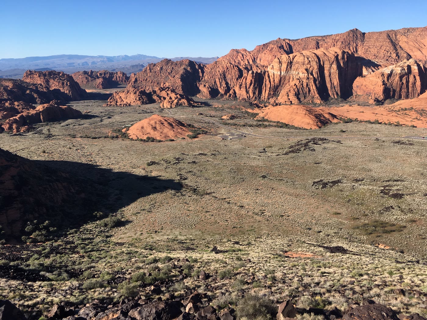 Plate CCVII
Snow Canyon
canyonSnow Canyon State Park, Utah
Red stone and a black river of rock.
37.2° N · 113.6° WOpen plate →
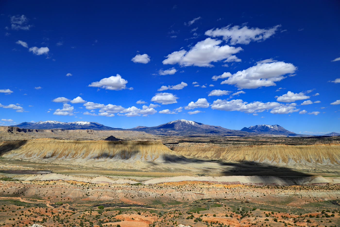 Plate CCVIII
Waterpocket Fold
canyonStrike Valley Overlook, Capitol Reef, Utah
A hundred miles of stone stood on edge.
37.8° N · 111.0° WOpen plate →
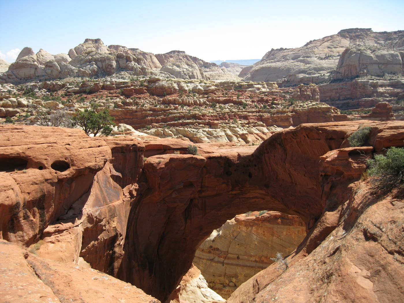 Plate CCIX
Cassidy Arch
canyonCapitol Reef National Park, Utah
An arch you look down through.
38.3° N · 111.2° WOpen plate →
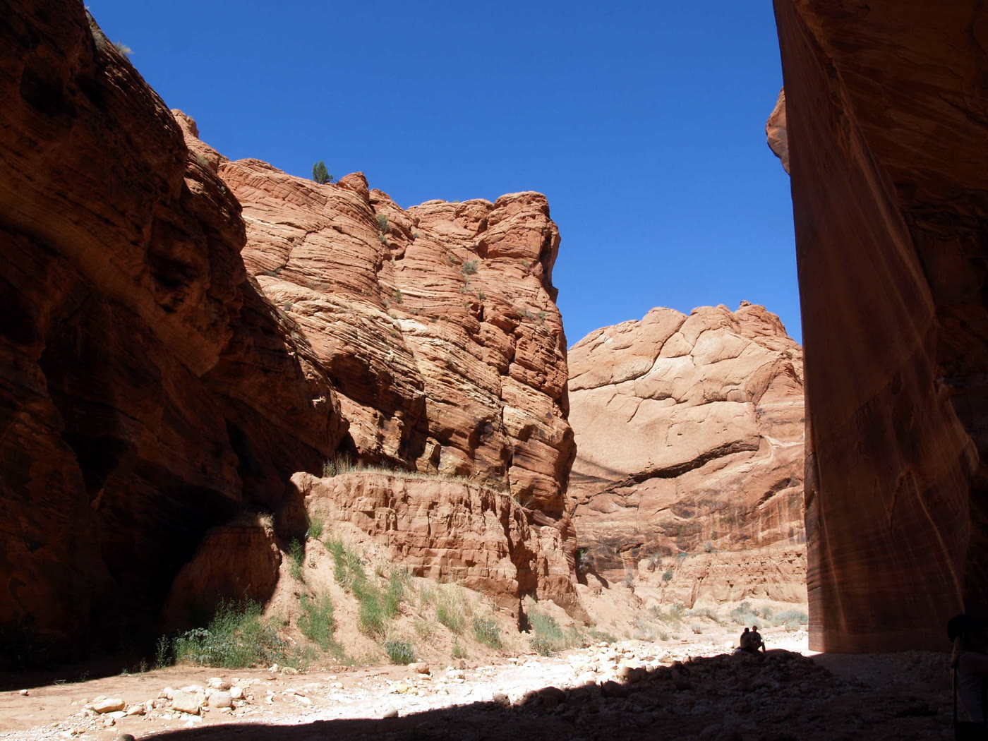 Plate CCX
Buckskin Gulch
canyonParia Canyon–Vermilion Cliffs, Utah
A slot that does not end soon.
37.0° N · 112.0° WOpen plate →
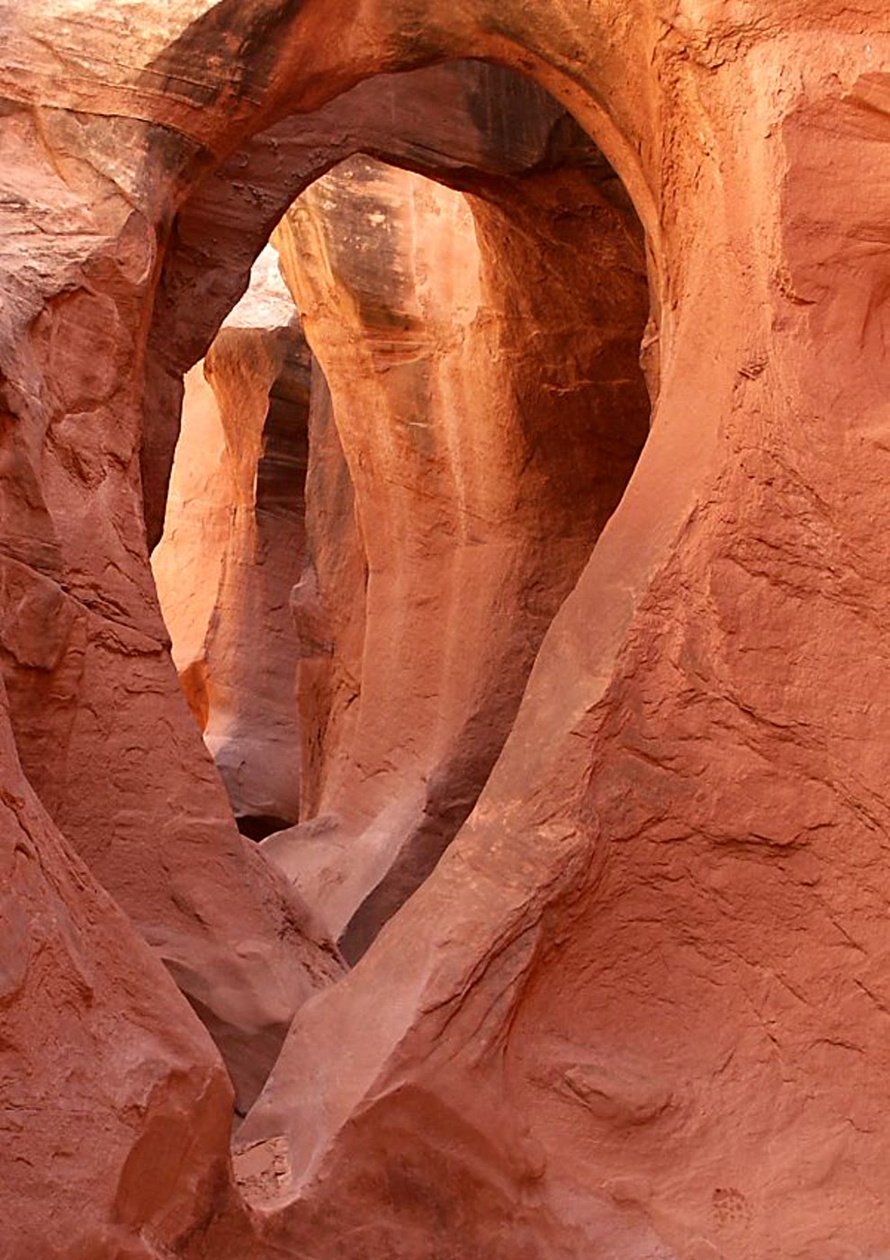 Plate CCXI
Peekaboo Gulch
canyonDry Fork of Coyote Gulch, GSENM, Utah
A window the slot kept for itself.
37.5° N · 111.2° WOpen plate →
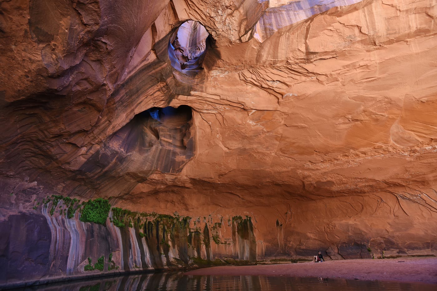 Plate CCXII
Golden Cathedral
canyonNeon Canyon, Glen Canyon NRA, Utah
A room the potholes lit from above.
37.7° N · 111.0° WOpen plate →
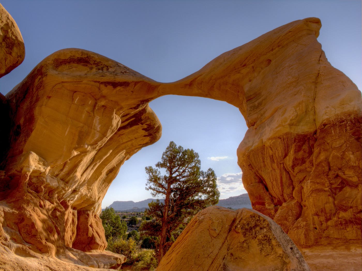 Plate CCXIII
Metate Arch
canyonDevil's Garden, Grand Staircase–Escalante, Utah
A blade of stone the wind left standing.
37.6° N · 111.4° WOpen plate →
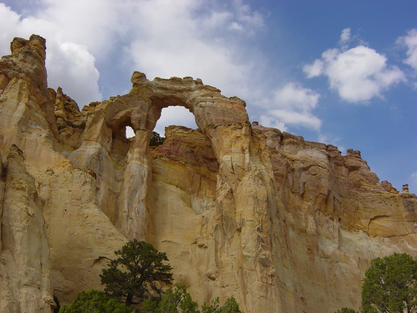 Plate CCXIV
Grosvenor Arch
canyonGrand Staircase–Escalante, Utah
Two windows in one cream wall.
37.5° N · 111.8° WOpen plate →
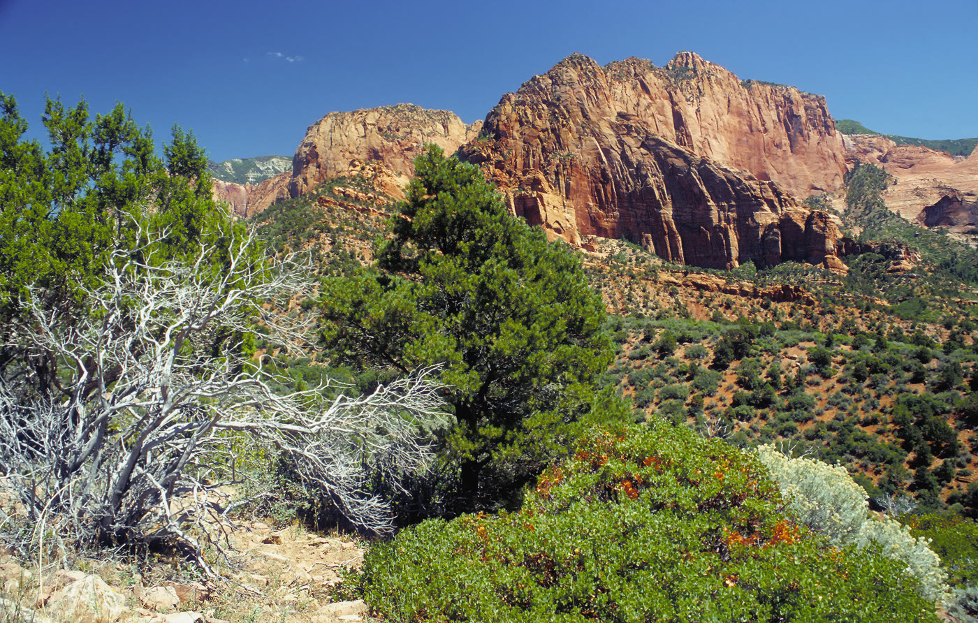 Plate CCXV
Kolob Canyons
canyonZion National Park, north, Utah
Zion’s north wall, fingered into the plateau.
37.4° N · 113.2° WOpen plate →
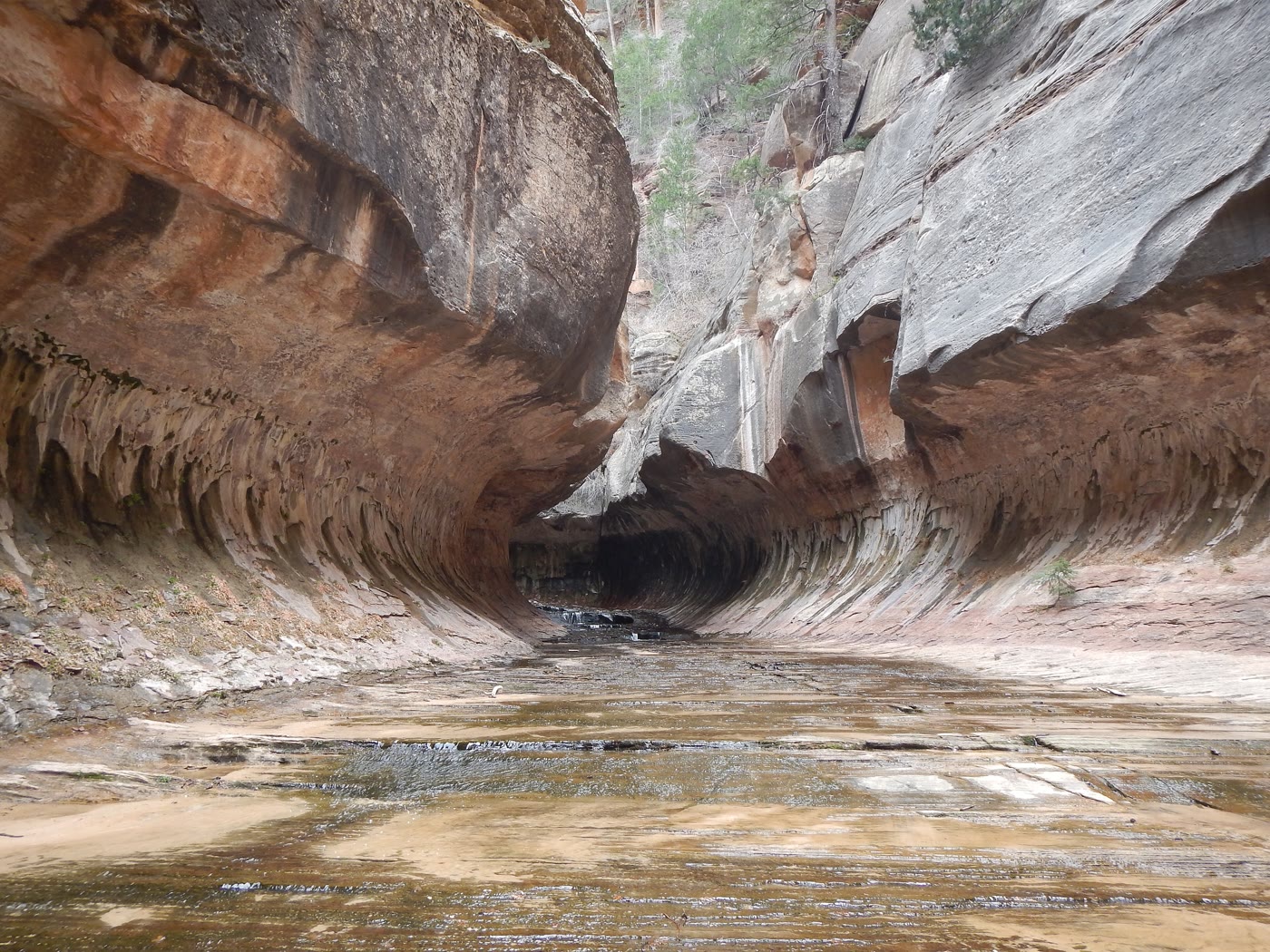 Plate CCXVI
The Subway
canyonLeft Fork of North Creek, Zion, Utah
A tunnel the creek carved and kept.
37.3° N · 113.1° WOpen plate →
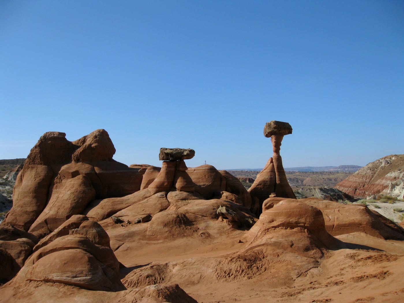 Plate CCXVII
Toadstool Hoodoos
desertParia Rimrocks, Utah
Capstones the rimrocks learned to balance.
37.5° N · 111.9° WOpen plate →
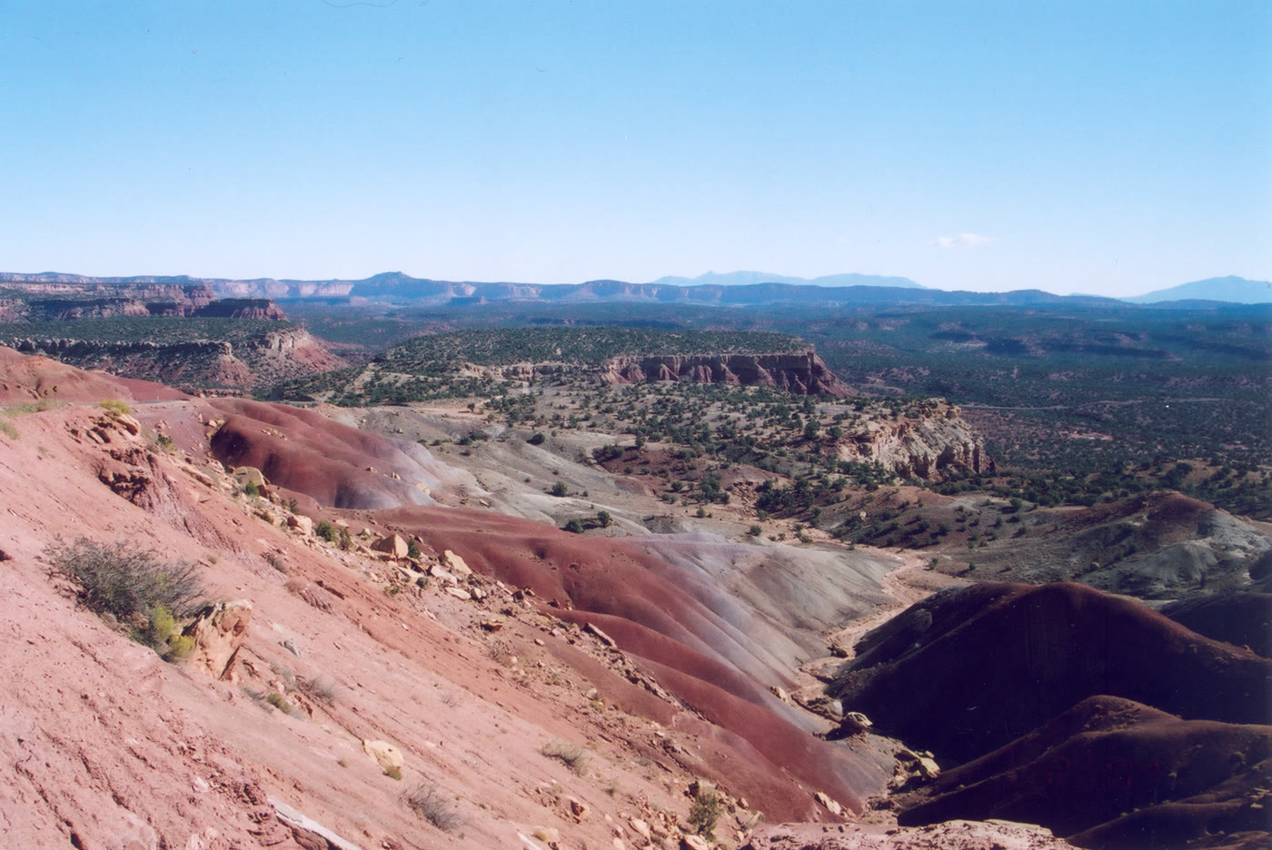 Plate CCXVIII
Burr Trail
hillsCircle Cliffs, Utah
A backway that looks down on its own hills.
37.9° N · 111.3° WOpen plate →
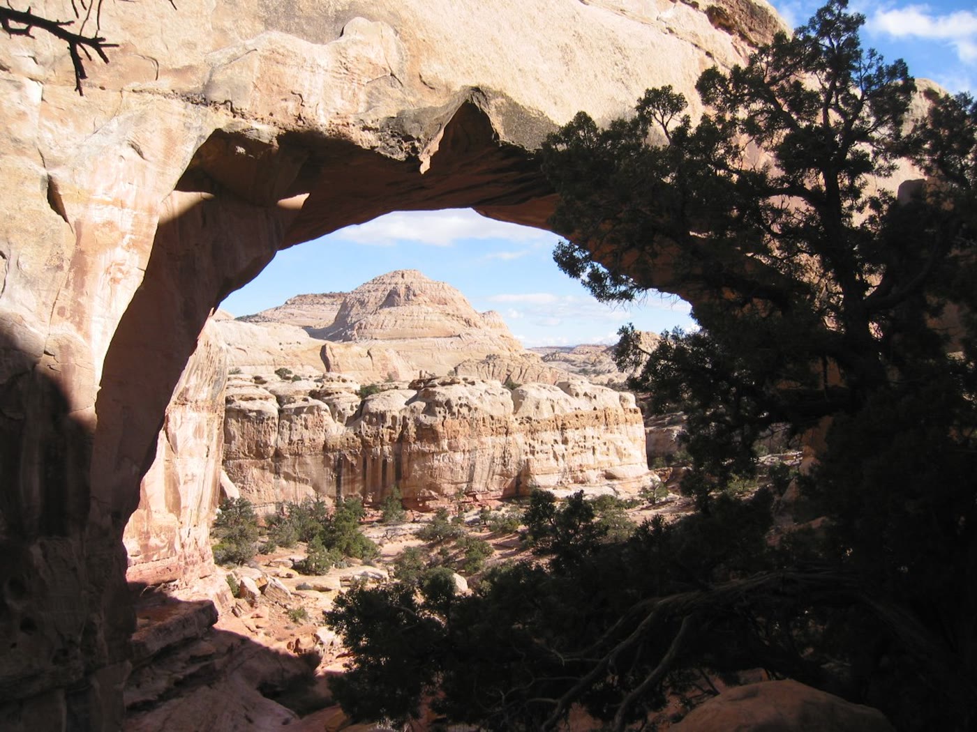 Plate CCXIX
Hickman Bridge
canyonCapitol Reef National Park, Utah
A cream bridge the wash walked under.
38.3° N · 111.2° WOpen plate →
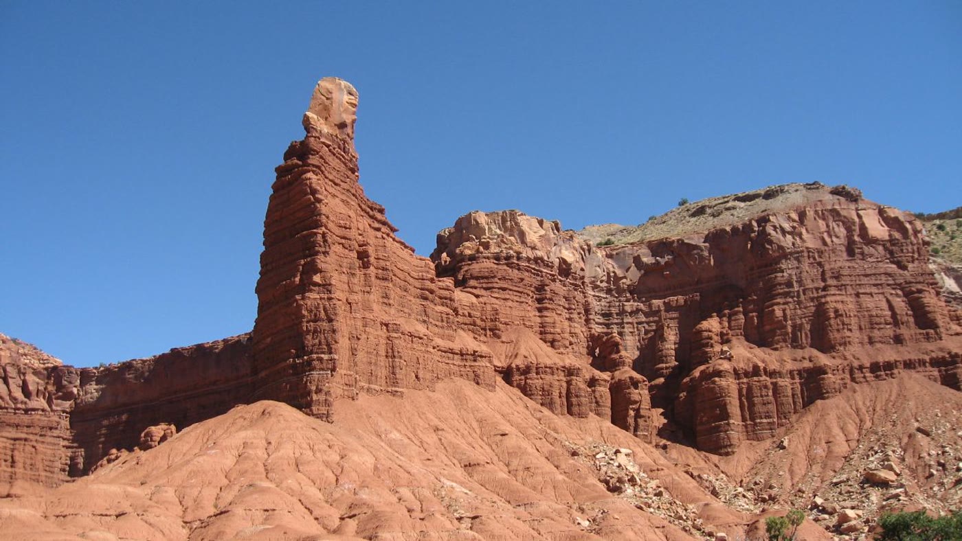 Plate CCXX
Chimney Rock, Capitol Reef
canyonCapitol Reef National Park, Utah
A chimney the Reef stood alone.
38.3° N · 111.3° WOpen plate →
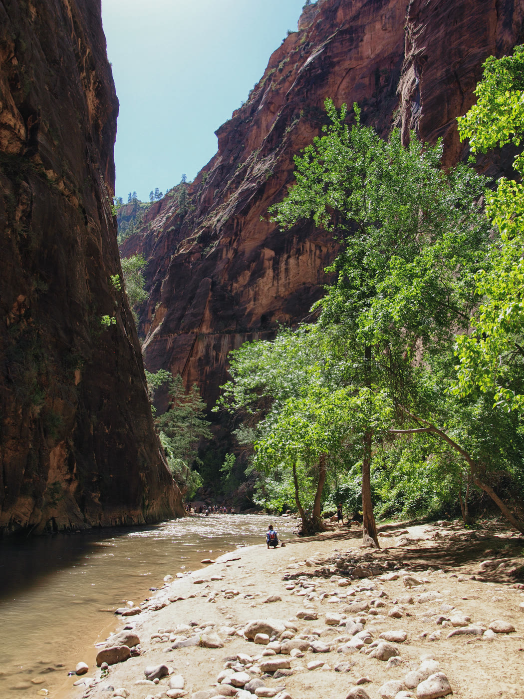 Plate CCXXI
The Narrows
canyonNorth Fork Virgin River, Zion, Utah
A cathedral you walk in the river.
37.3° N · 112.9° WOpen plate →
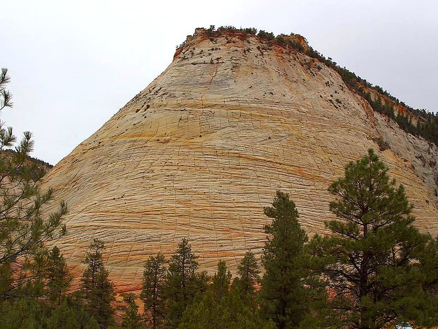 Plate CCXXII
Checkerboard Mesa
hillsZion National Park, east, Utah
A hill the stone ruled into squares.
37.2° N · 112.9° WOpen plate →
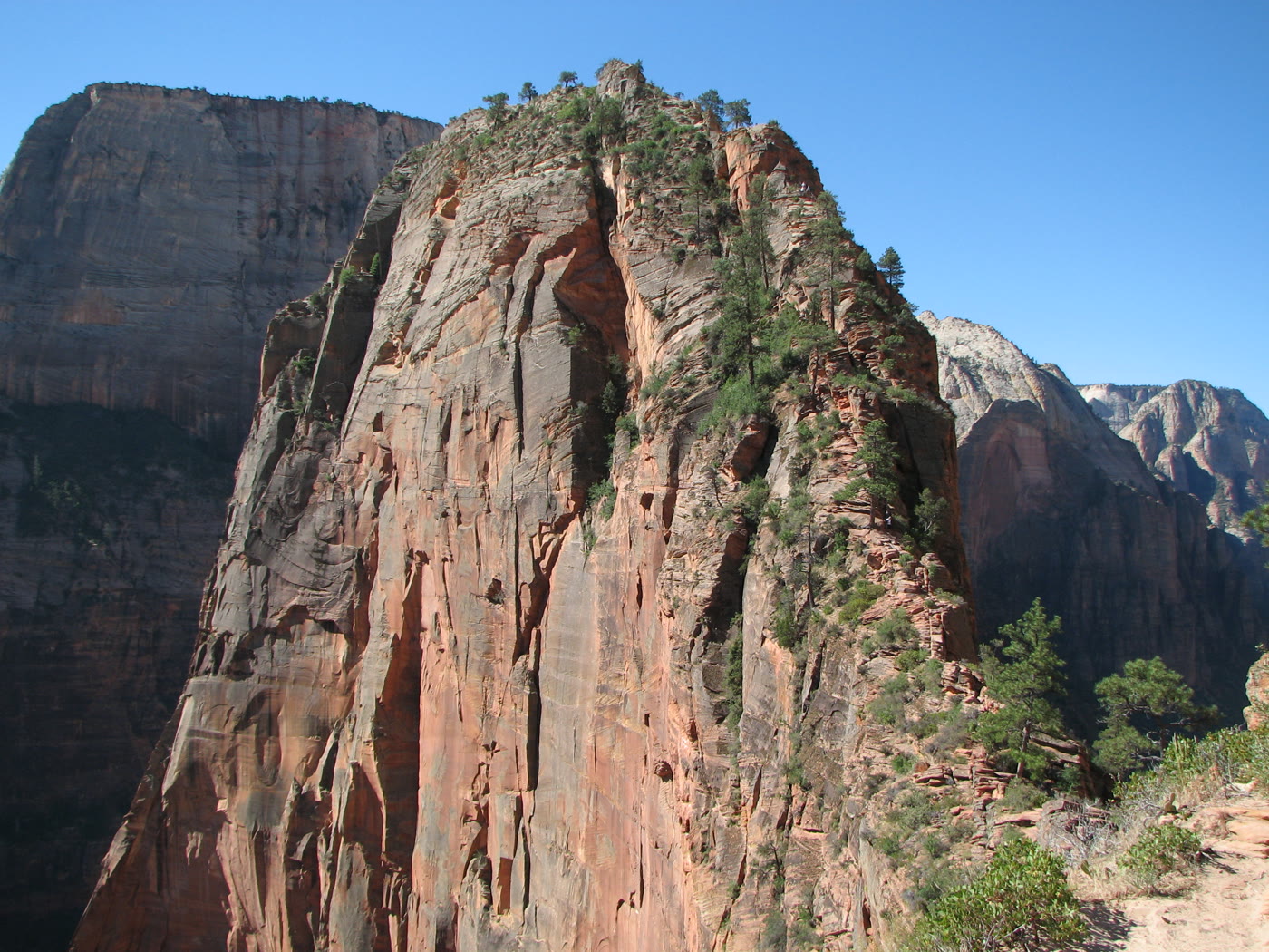 Plate CCXXIII
Angels Landing
canyonZion Canyon, Utah
A ridge that keeps only as much path as it must.
37.3° N · 112.9° WOpen plate →
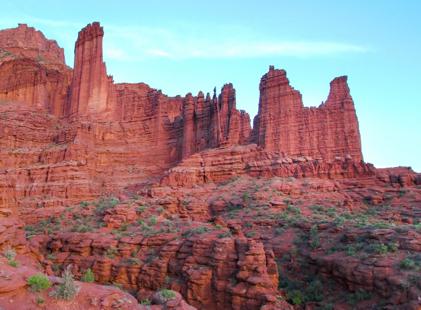 Plate CCXXIV
Fisher Towers
hillsCastle Valley, Utah
Towers the valley kept like a skyline.
38.7° N · 109.3° WOpen plate →
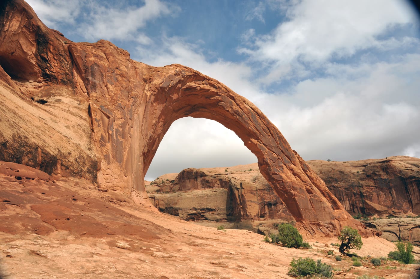 Plate CCXXV
Corona Arch
canyonMoab backcountry, Utah
A crown the cliff wore and opened.
38.6° N · 109.6° WOpen plate →
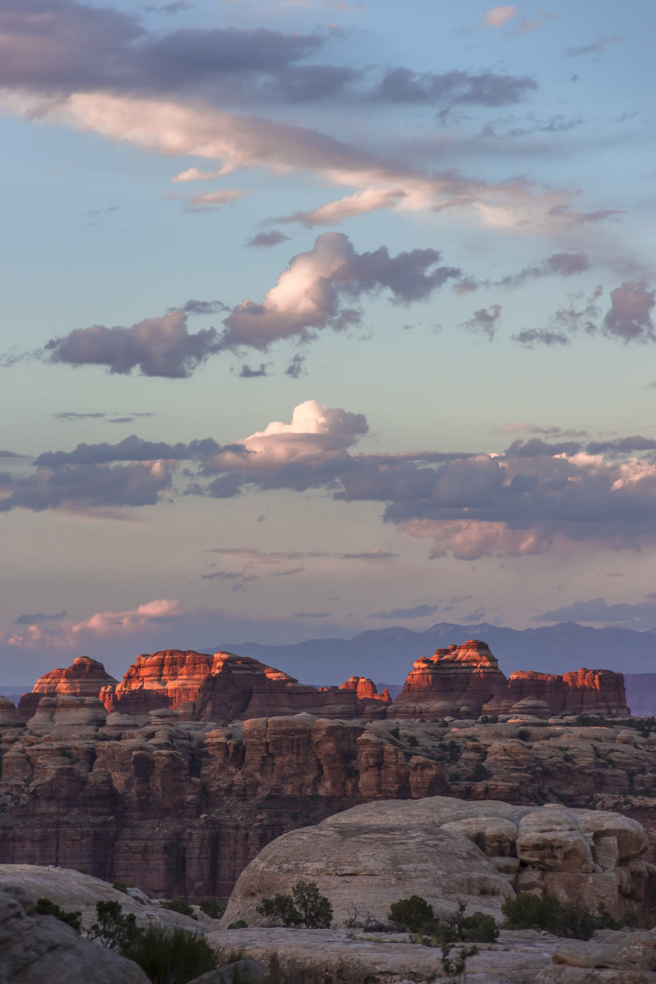 Plate CCXXVI
The Doll House
canyonThe Maze, Canyonlands, Utah
A room of stone figures the Maze kept.
38.2° N · 109.9° WOpen plate →
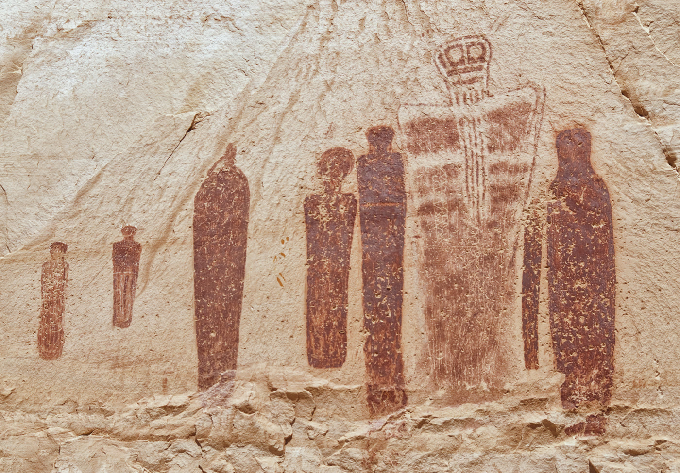 Plate CCXXVII
Great Gallery
canyonHorseshoe Canyon, Canyonlands, Utah
Figures the canyon has held for a very long time.
38.5° N · 110.2° WOpen plate →
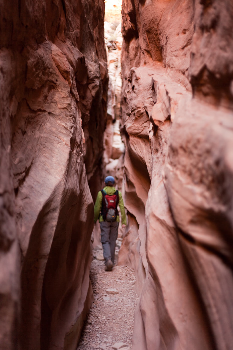 Plate CCXXVIII
Little Wild Horse Canyon
canyonSan Rafael Swell, Utah
A narrow walk the Swell cut for a horse.
38.6° N · 110.8° WOpen plate →
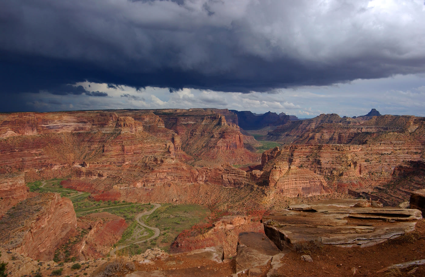 Plate CCXXIX
The Wedge Overlook
canyonSan Rafael Swell, Utah
A little Grand Canyon the Swell kept.
39.1° N · 110.7° WOpen plate →
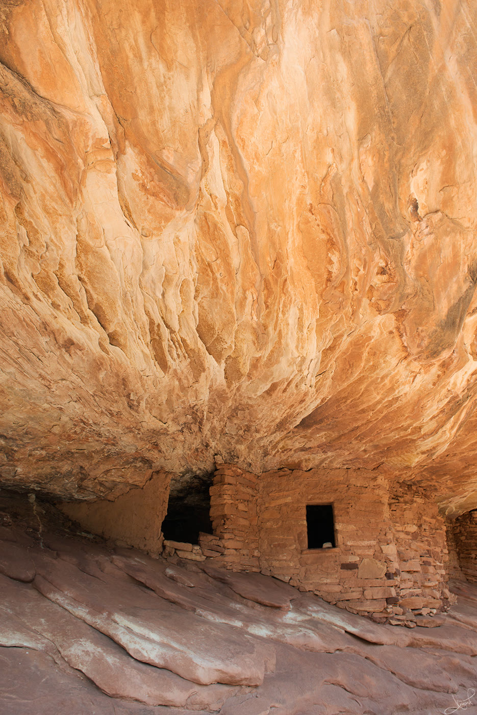 Plate CCXXX
House on Fire
canyonMule Canyon, Utah
Rooms the ceiling still seems to warm.
37.5° N · 109.7° WOpen plate →
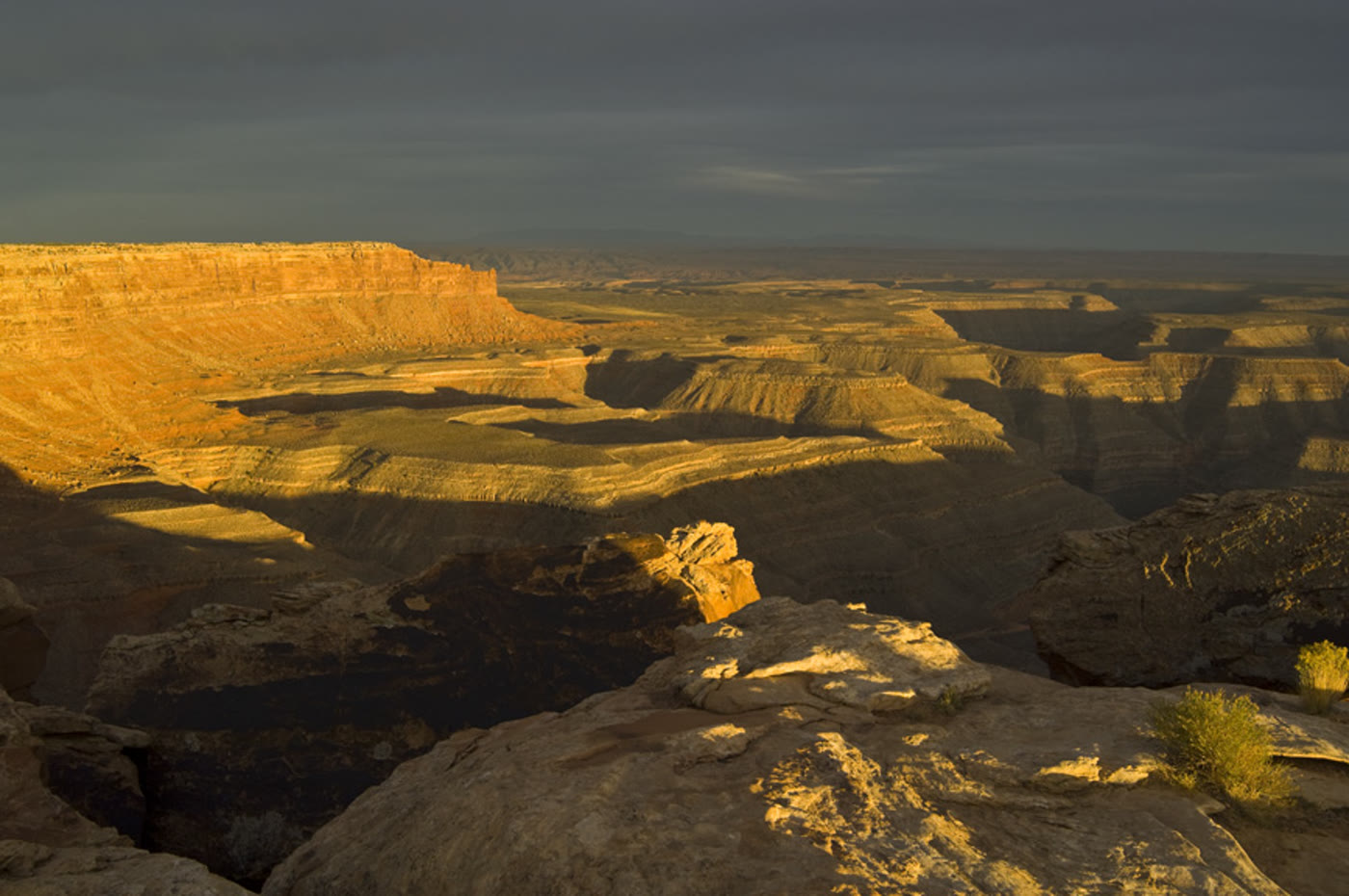 Plate CCXXXI
Muley Point
canyonCedar Mesa rim, Utah
A rim that looks past the river’s turns.
37.2° N · 110.0° WOpen plate →
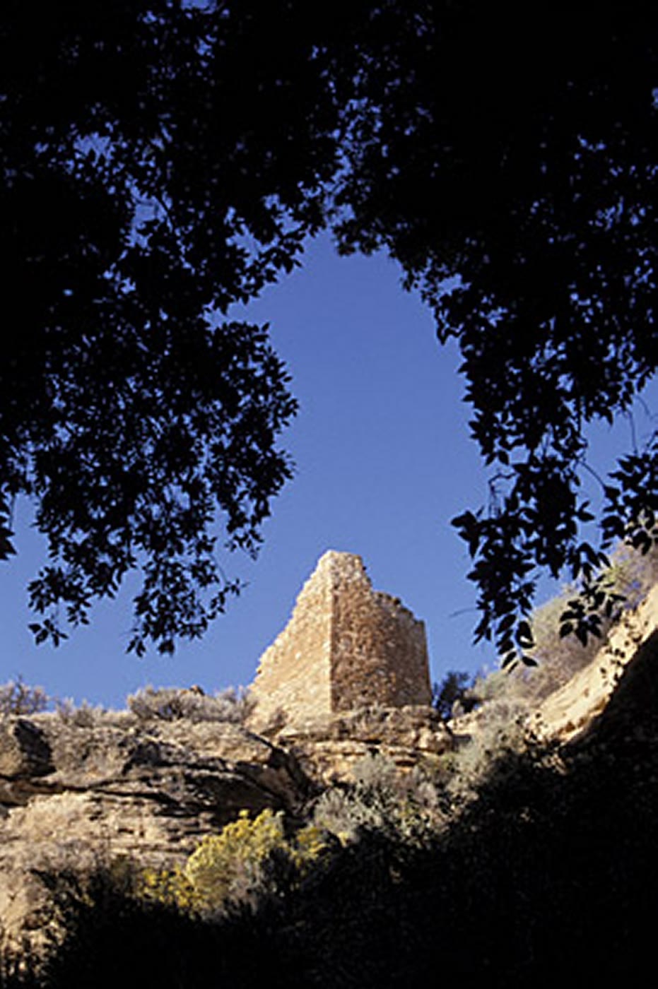 Plate CCXXXII
Hovenweep Square Tower
canyonHovenweep National Monument, Utah
Towers a community set on the rim.
37.4° N · 109.1° WOpen plate →
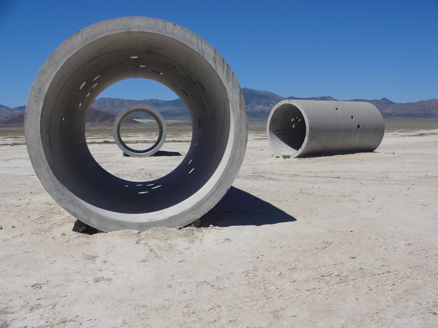 Plate CCXXXIII
Sun Tunnels
desertLucin, Utah
Four tunnels that keep the sun’s appointments.
41.3° N · 113.9° WOpen plate →
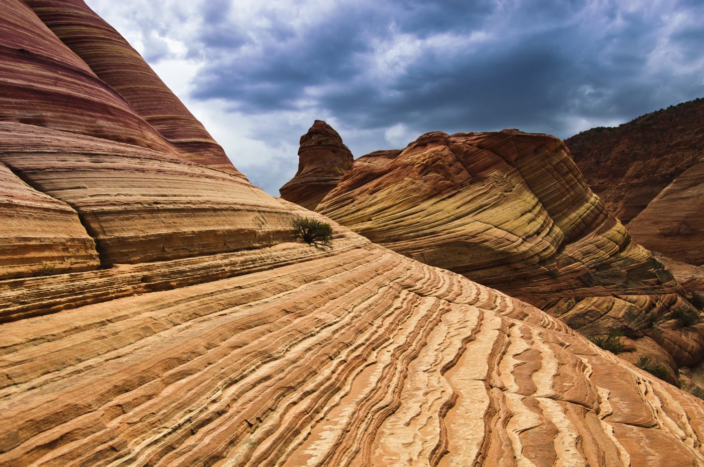 Plate CCXXXIV
The Wave
desertCoyote Buttes North, Arizona
Stone that learned the motion of water.
37.0° N · 112.0° WOpen plate →
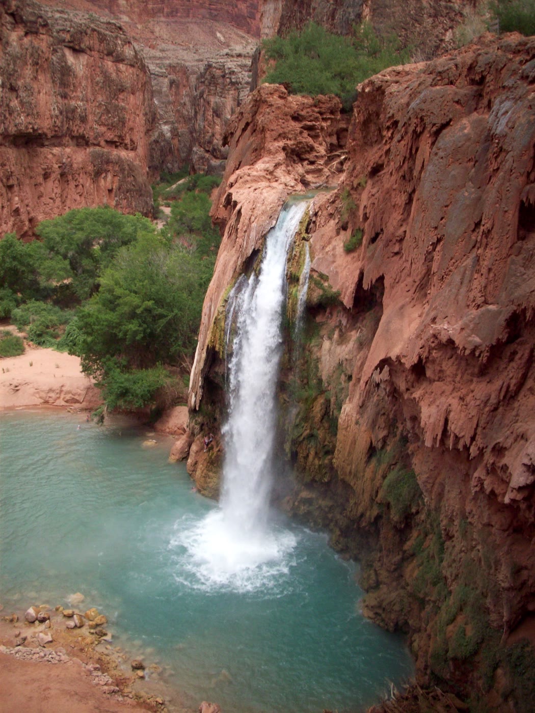 Plate CCXXXV
Havasu Falls
canyonHavasupai Reservation, Arizona
A blue pool the red wall still holds.
36.3° N · 112.7° WOpen plate →
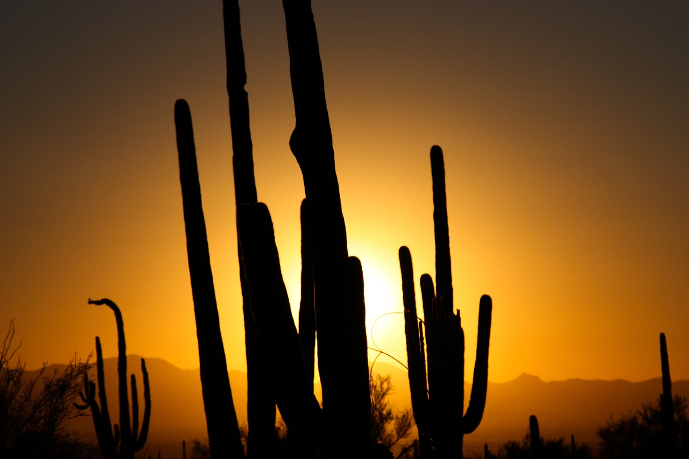 Plate CCXXXVI
Saguaro National Park
desertSonoran Desert, Tucson, Arizona
Arms the desert learned to hold up to the sun.
32.2° N · 111.2° WOpen plate →
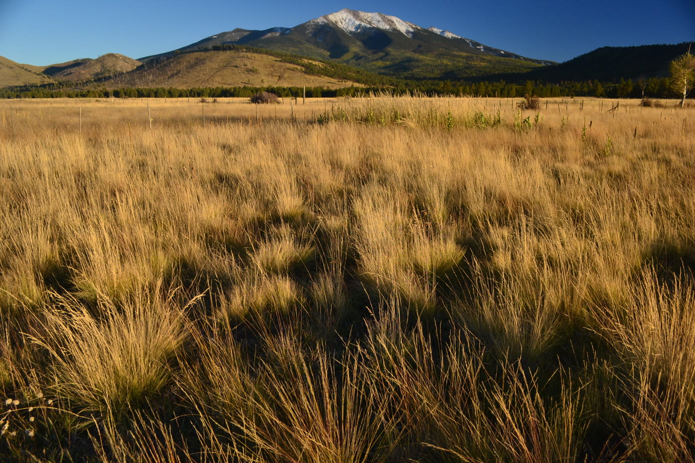 Plate CCXXXVII
Humphreys Peak
alpineSan Francisco Peaks, Arizona
The state’s high roof, still wearing snow.
35.3° N · 111.7° WOpen plate →
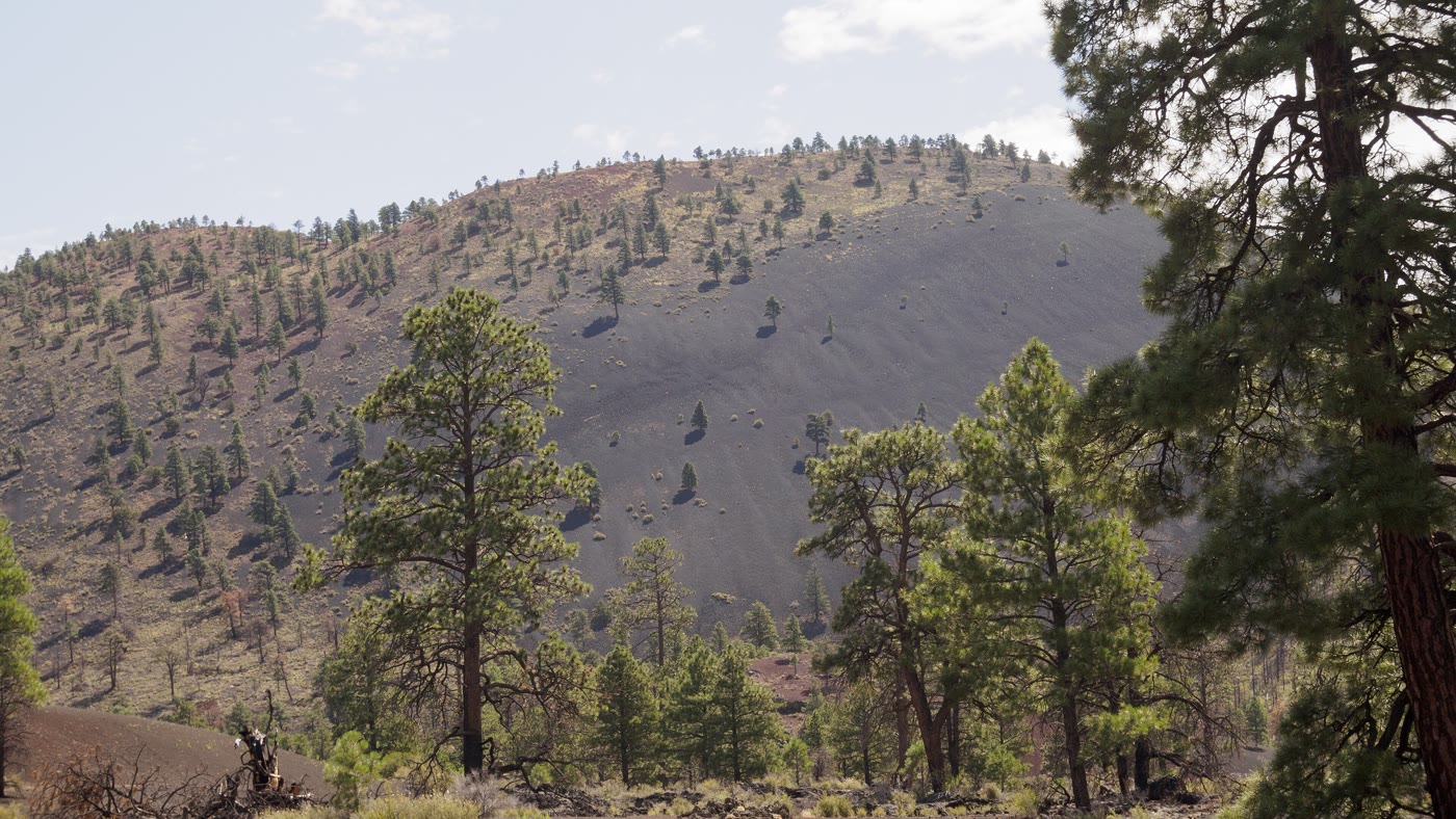 Plate CCXXXVIII
Sunset Crater
volcanicSan Francisco Volcanic Field, Arizona
A cone the last fire left standing.
35.4° N · 111.5° WOpen plate →
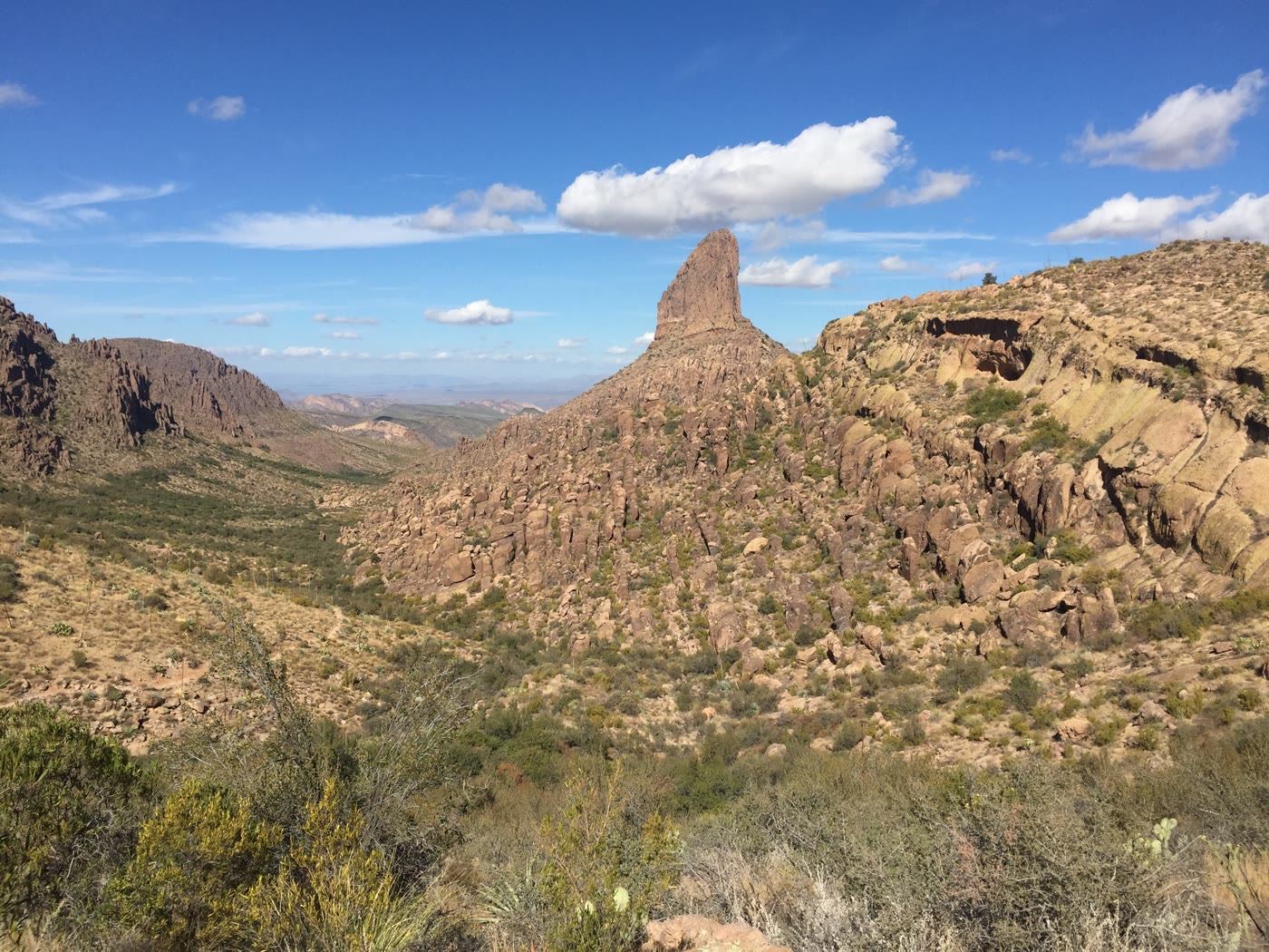 Plate CCXXXIX
Weaver's Needle
hillsSuperstition Mountains, Arizona
A needle the Superstitions kept for a landmark.
33.4° N · 111.4° WOpen plate →
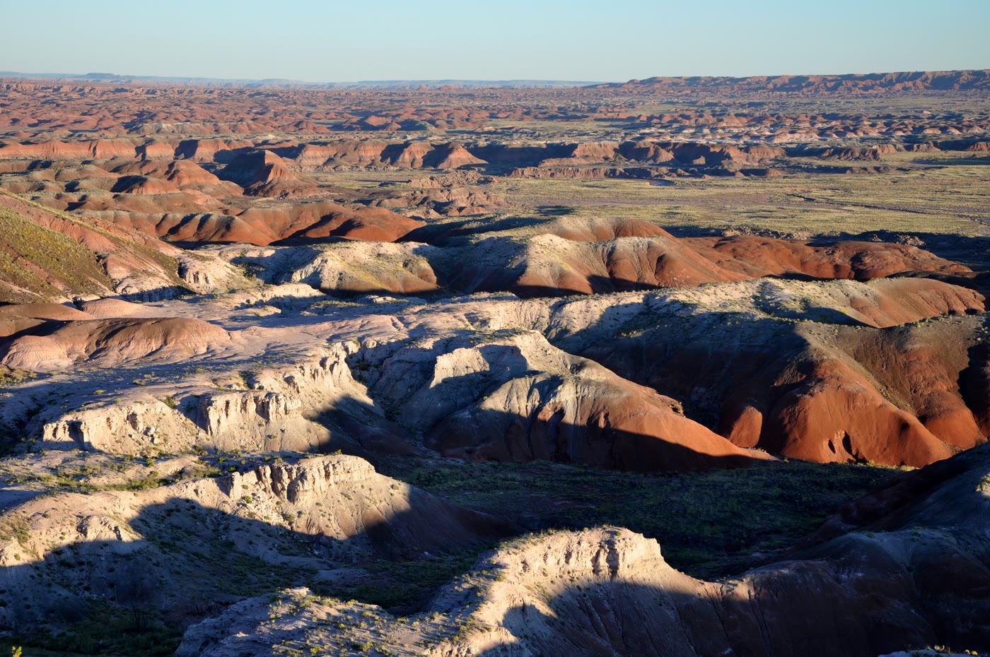 Plate CCXL
Painted Desert
desertTawa Point, Petrified Forest, Arizona
A desert that kept every color of old mud.
35.1° N · 109.8° WOpen plate →
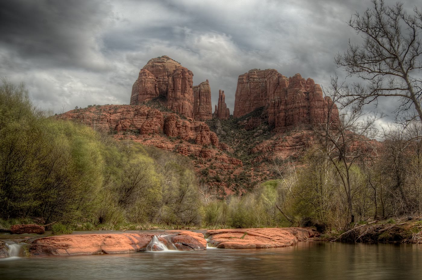 Plate CCXLI
Cathedral Rock
hillsOak Creek, Sedona, Arizona
Spires the creek was asked to look up at.
34.8° N · 111.8° WOpen plate →
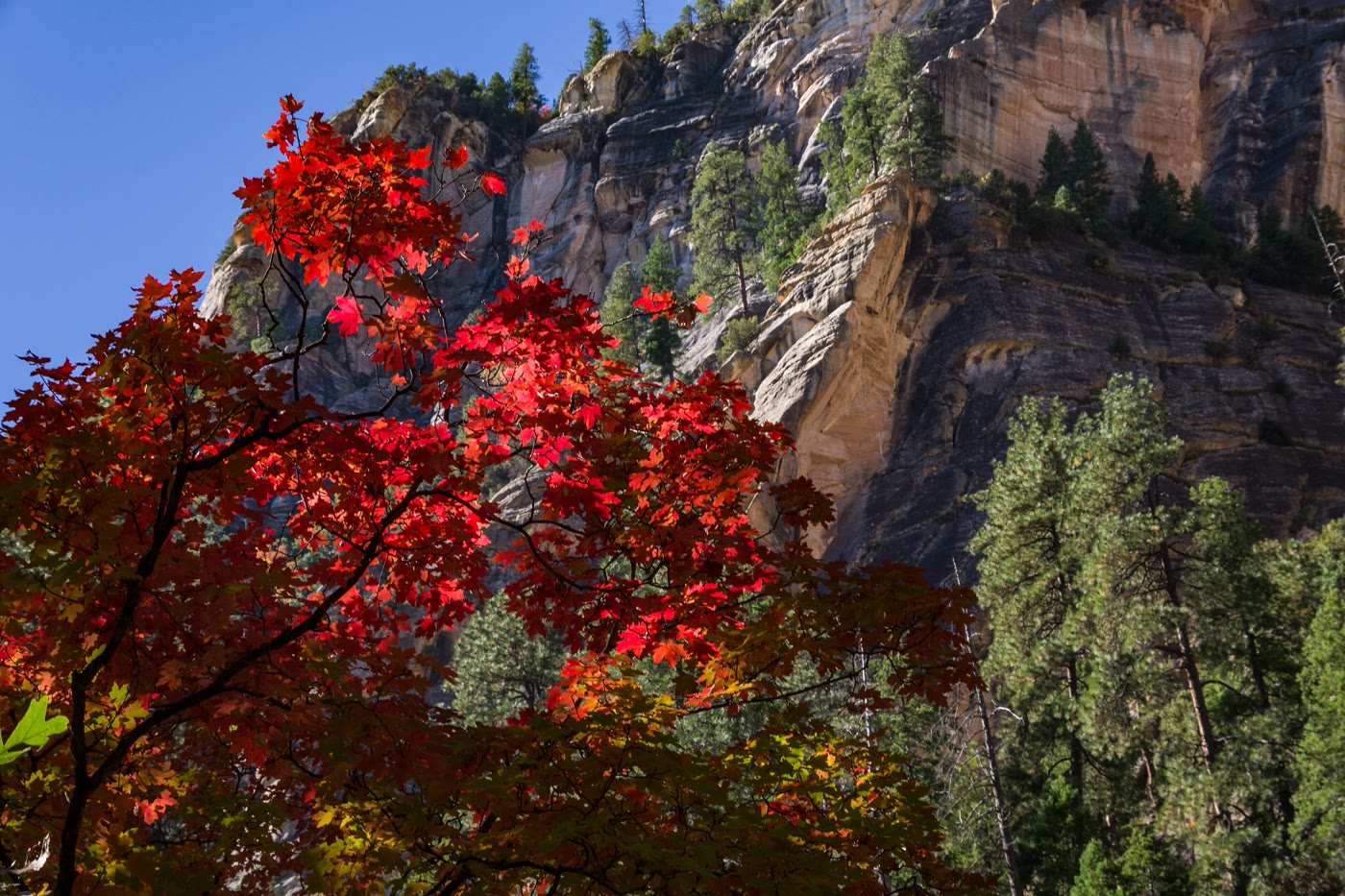 Plate CCXLII
Oak Creek Canyon
forestWest Fork, Coconino National Forest, Arizona
A gold corridor the creek kept under stone.
35.0° N · 111.7° WOpen plate →
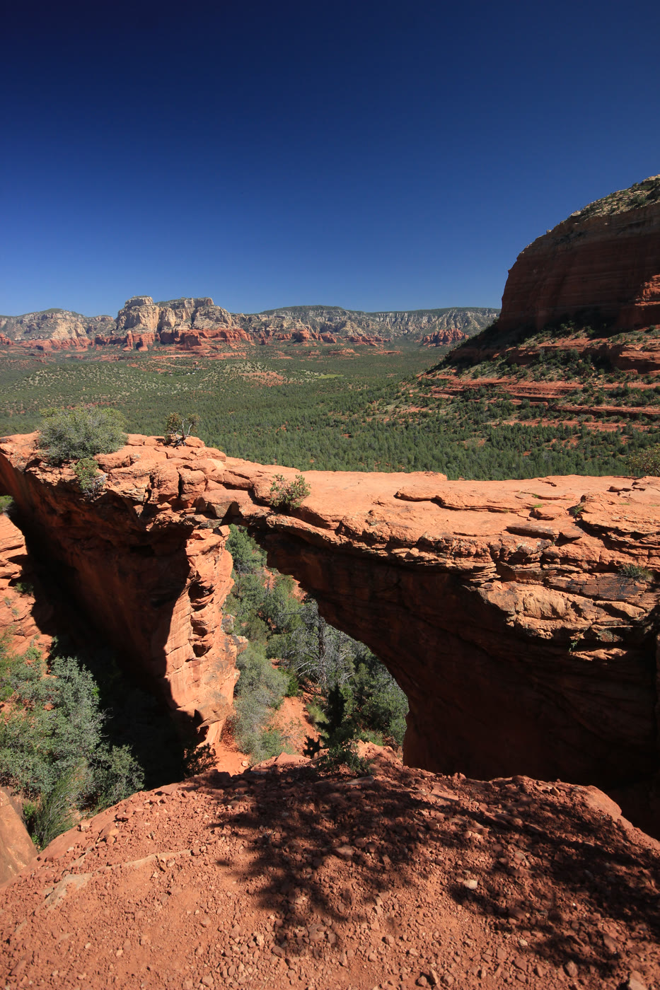 Plate CCXLIII
Devil's Bridge
canyonCoconino National Forest, Sedona, Arizona
A bridge the hollow left standing.
34.9° N · 111.8° WOpen plate →
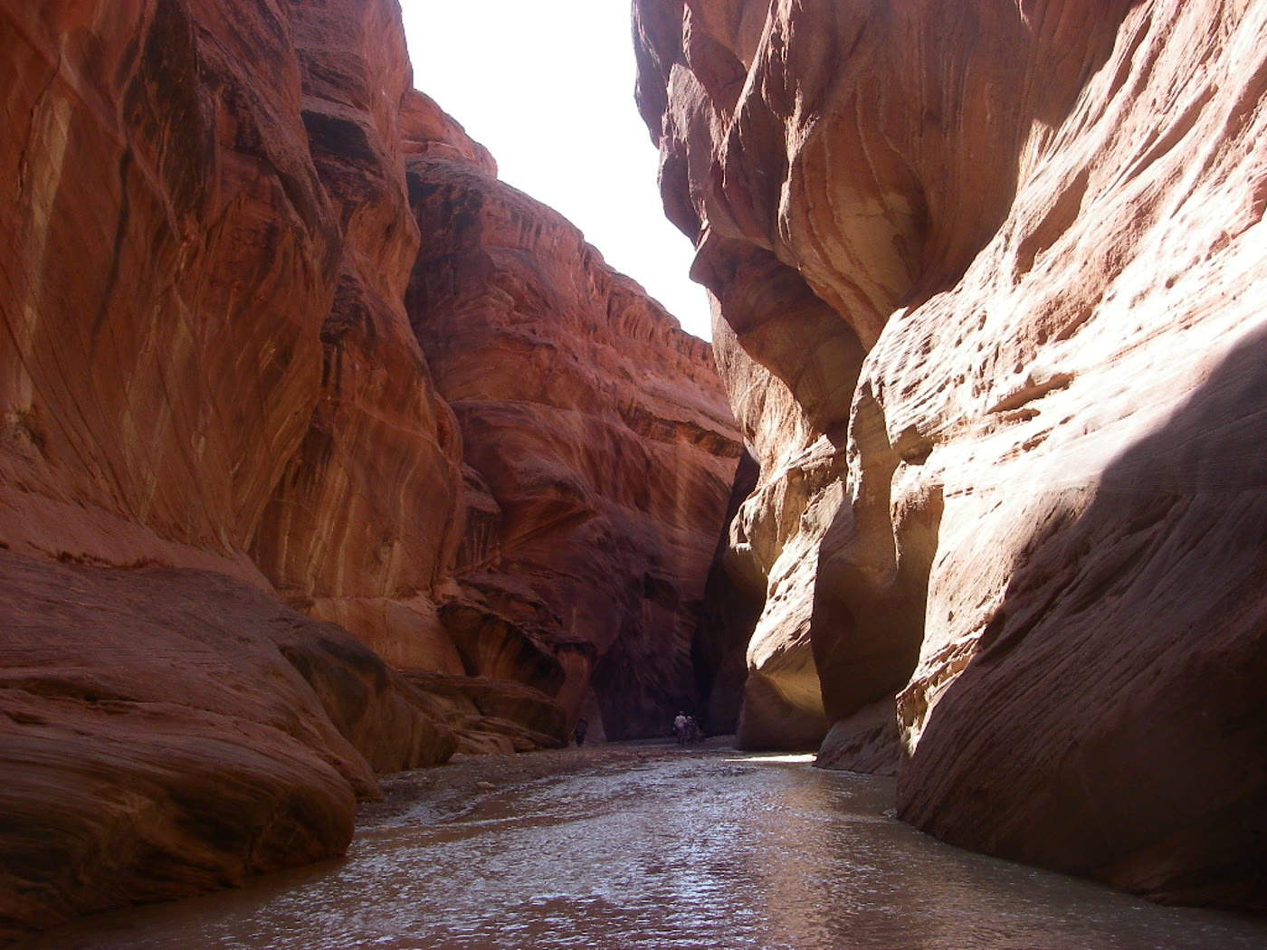 Plate CCXLIV
Paria Canyon
canyonArizona–Utah corridor, Arizona
A river that kept both states for a hallway.
36.9° N · 111.7° WOpen plate →
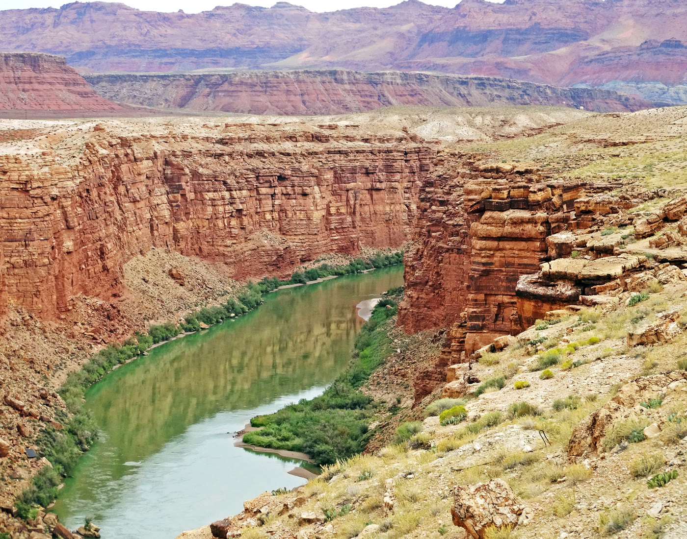 Plate CCXLV
Marble Canyon
canyonColorado River, Arizona
A marble-named trench the river kept narrow.
36.8° N · 111.6° WOpen plate →
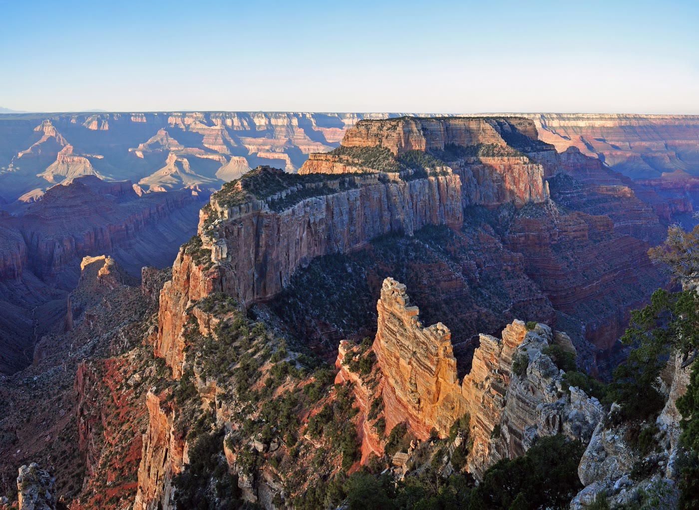 Plate CCXLVI
Cape Royal
canyonNorth Rim, Grand Canyon, Arizona
The North Rim’s long look into the eastern gorge.
36.1° N · 111.9° WOpen plate →
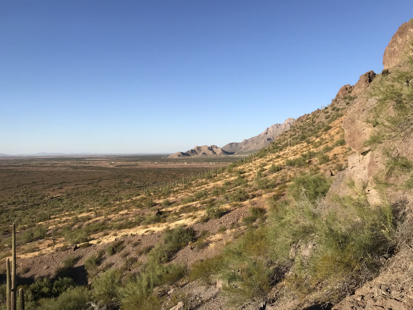 Plate CCXLVII
Picacho Peak
hillsPicacho Peak State Park, Arizona
A peak the basin raised like a warning.
32.6° N · 111.4° WOpen plate →
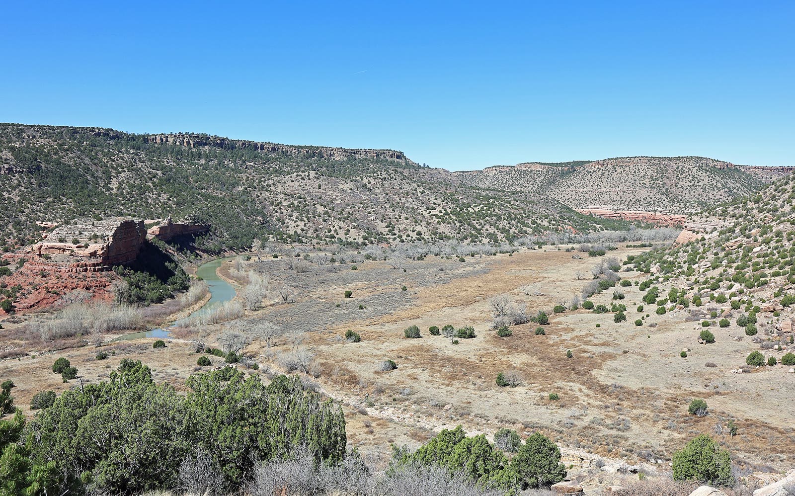 Plate CCLXVIII
Kiowa National Grassland
canyonMills Canyon, Canadian River, New Mexico
A river canyon the grassland hid.
36.0° N · 104.4° WOpen plate →
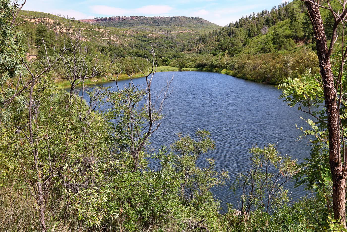 Plate CCLXXIII
Sugarite Canyon
forestRaton Mesa, Colfax County, New Mexico
A green canyon the mesa kept.
36.9° N · 104.4° WOpen plate →
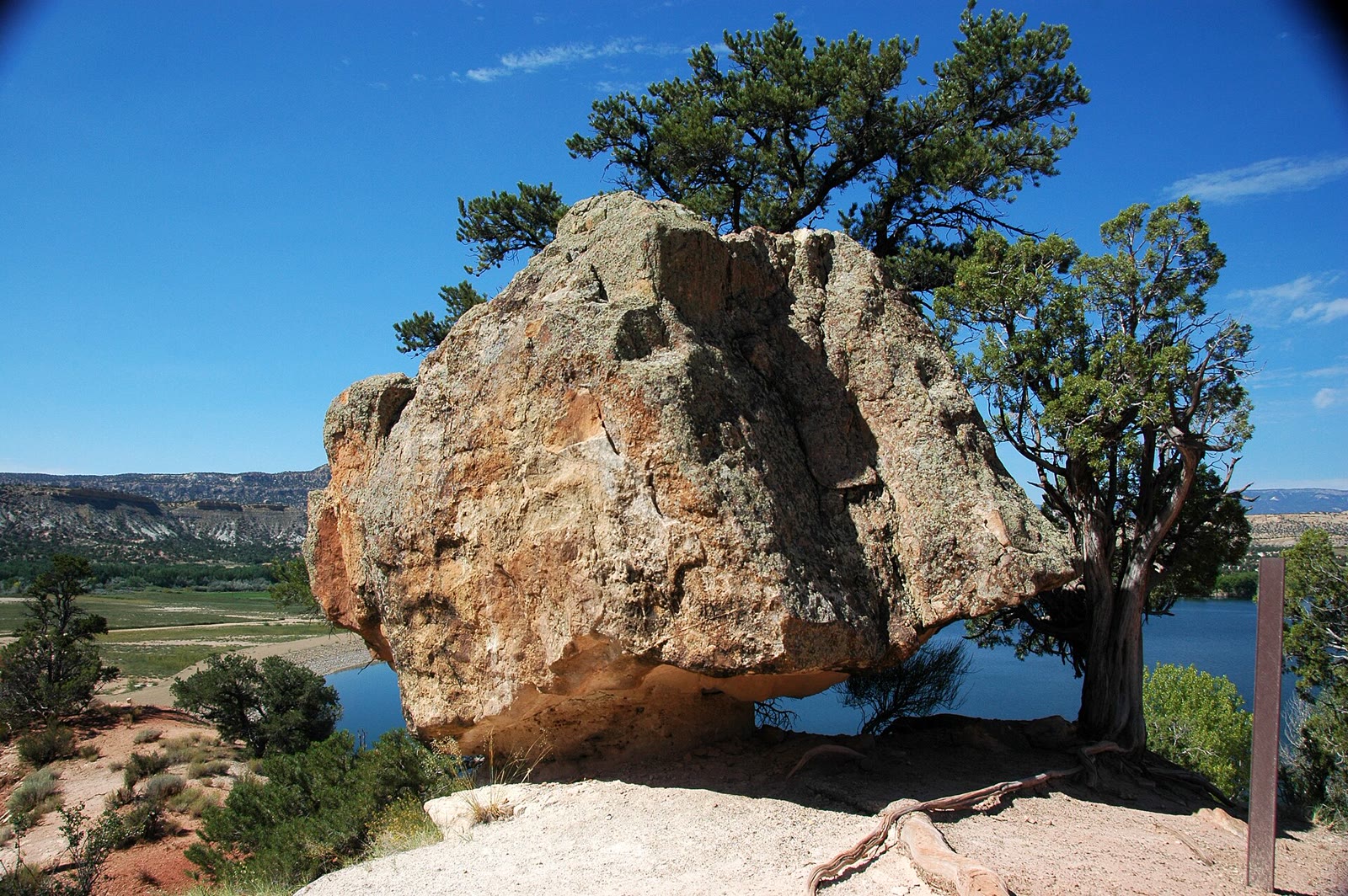 Plate CCLXXVI
Escalante Petrified Forest
desertWide Hollow, Escalante, Utah
A small forest the desert turned to stone.
37.8° N · 111.6° WOpen plate →
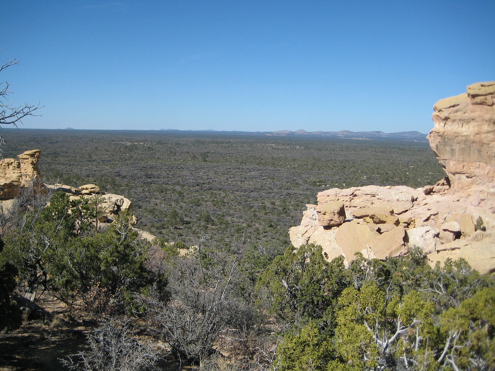 Plate CCLXXIX
El Malpais
volcanicMcCartys lava country, Cibola County, New Mexico
The bad country as lava, not as a window.
34.9° N · 108.1° WOpen plate →
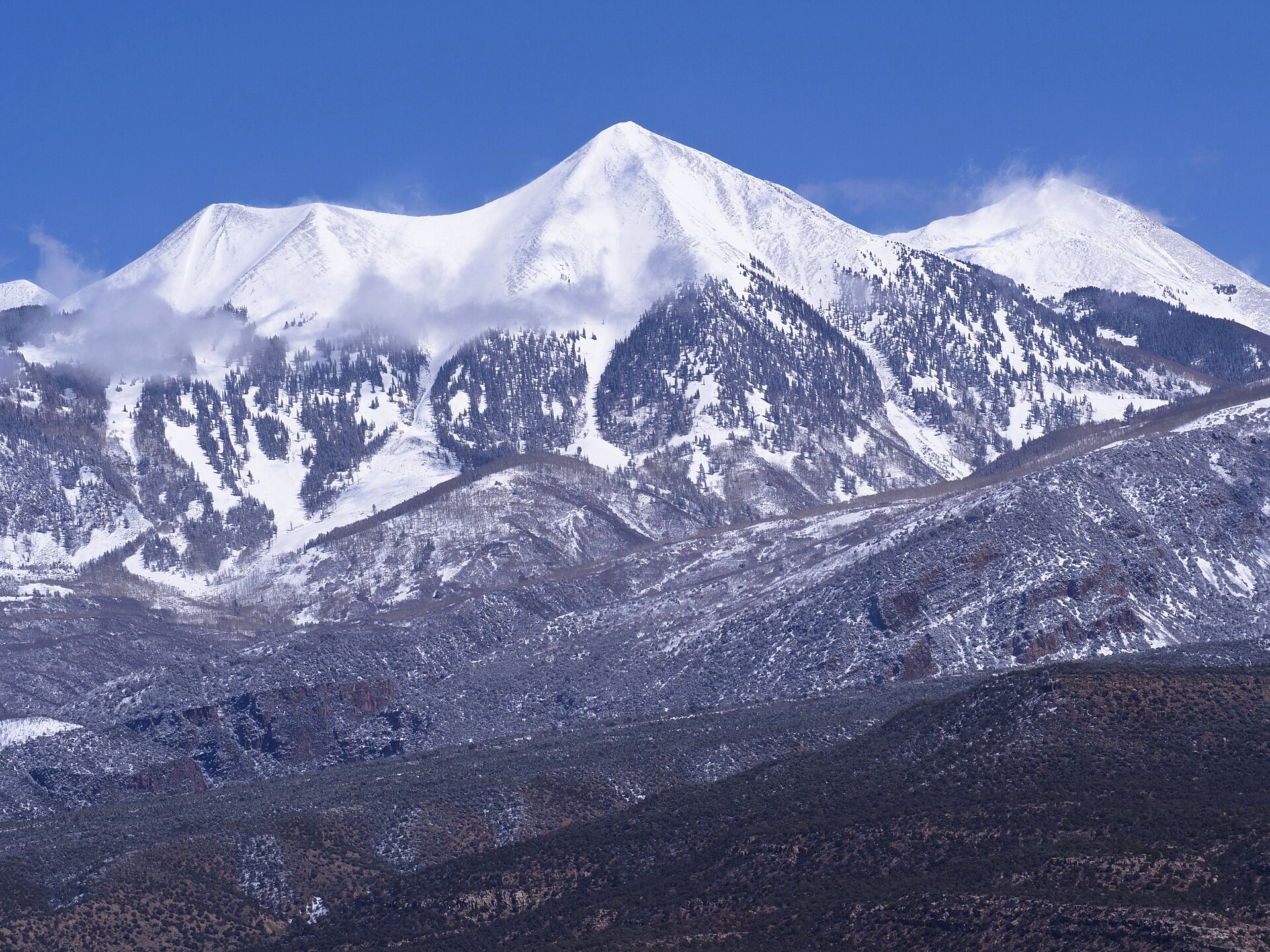 Plate CCLXXXIV
La Sal Mountains
alpineManti-La Sal NF, southeast of Moab, Utah
Snow peaks standing out of a desert sea.
38.4° N · 109.2° WOpen plate →
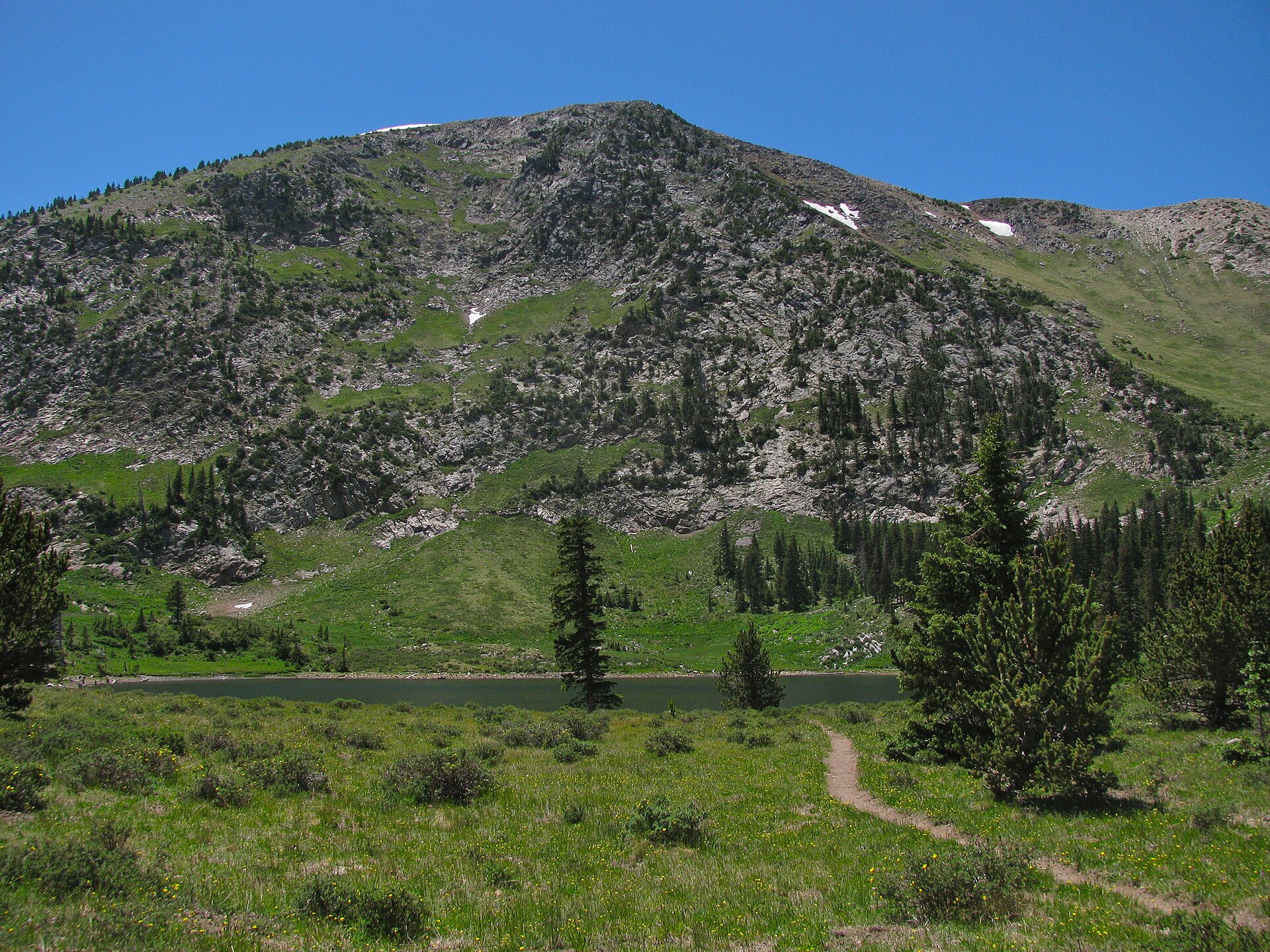 Plate CCLXXXV
Pecos Wilderness
alpineTruchas country, Santa Fe NF, New Mexico
A lake the Pecos high country still keeps.
35.9° N · 105.6° WOpen plate →
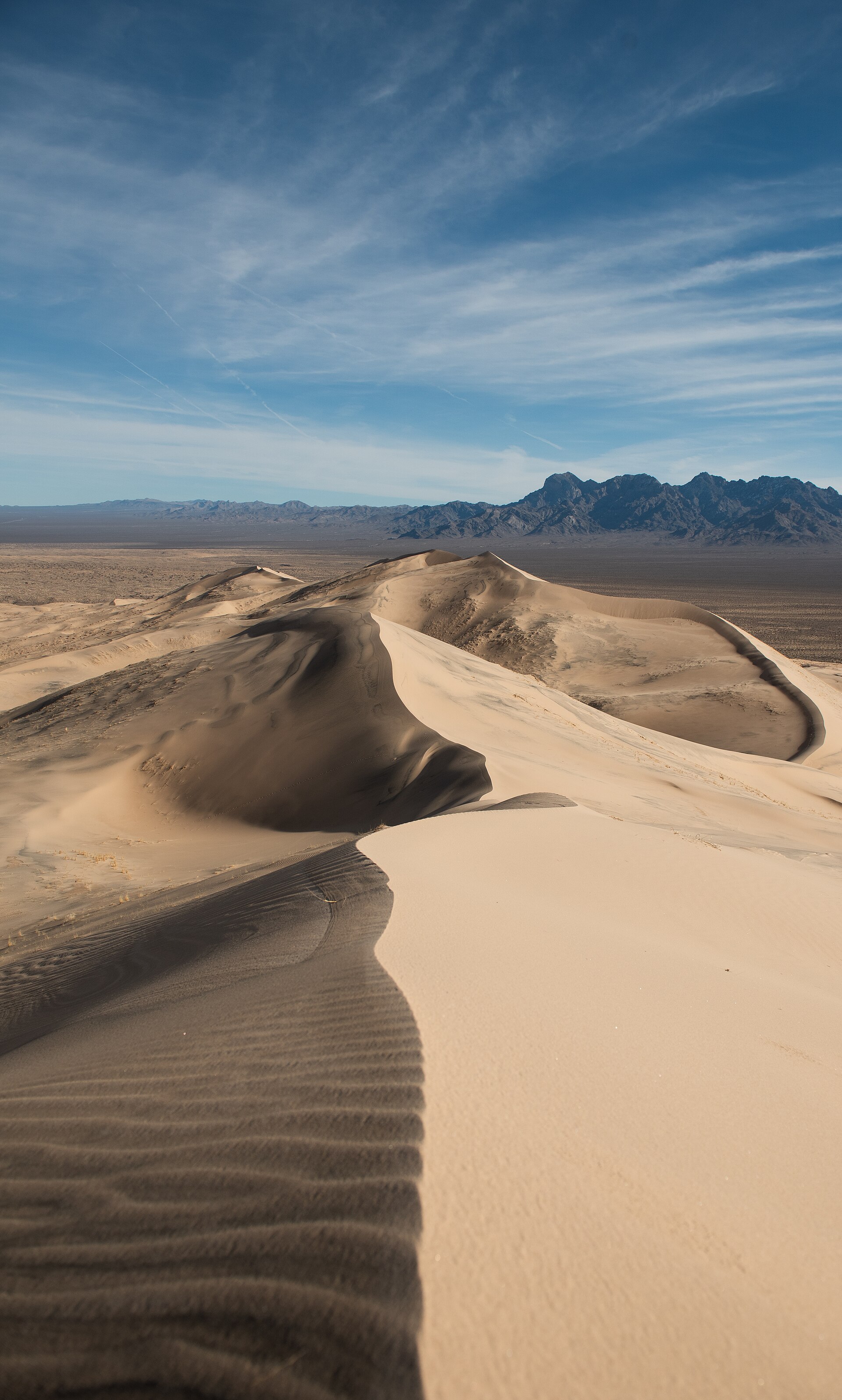 Plate CCCXII
Kelso Dunes
duneMojave National Preserve, California
A singing dune sea under the Providence Mountains.
34.9° N · 115.7° WOpen plate →
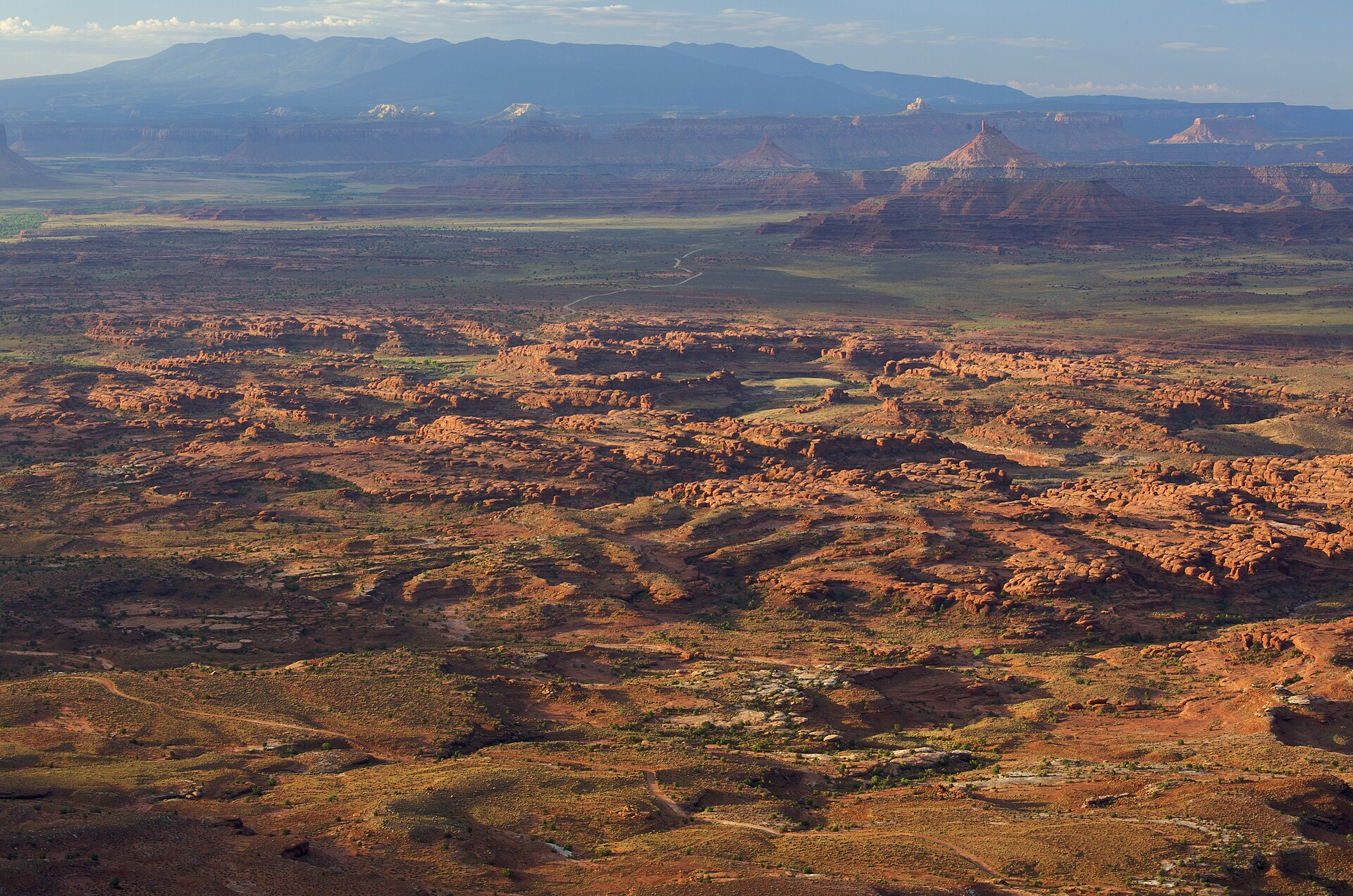 Plate CCCXXV
Needles Overlook
canyonCanyon Rims Recreation Area, Hatch Point, Utah
A Hatch Point balcony over a city of striped stone.
38.3° N · 109.7° WOpen plate →
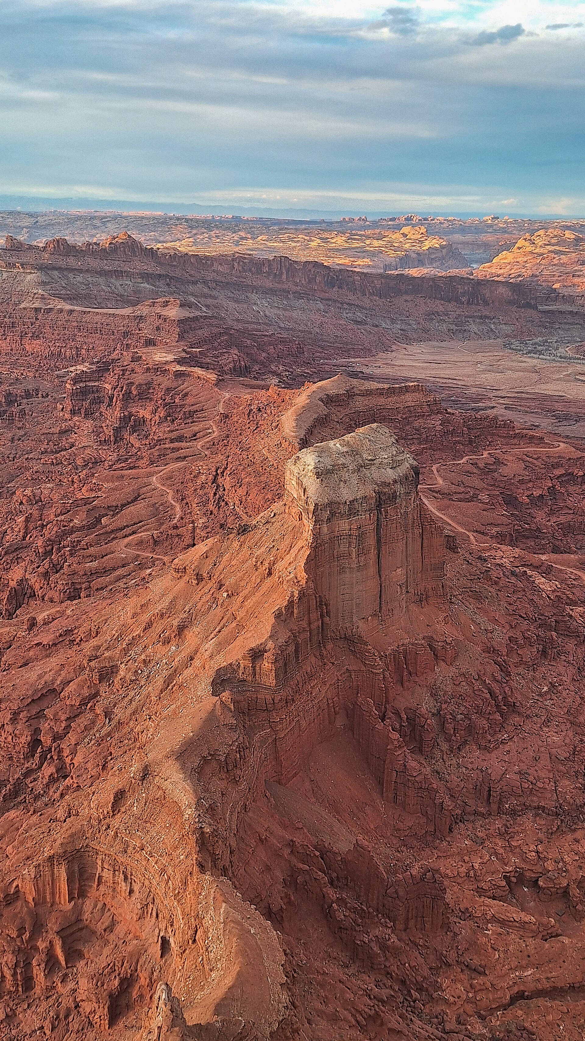 Plate CCCXXVI
Anticline Overlook
canyonCanyon Rims Recreation Area, Hatch Point, Utah
A river fold read from the opposite rim.
38.5° N · 109.6° WOpen plate →
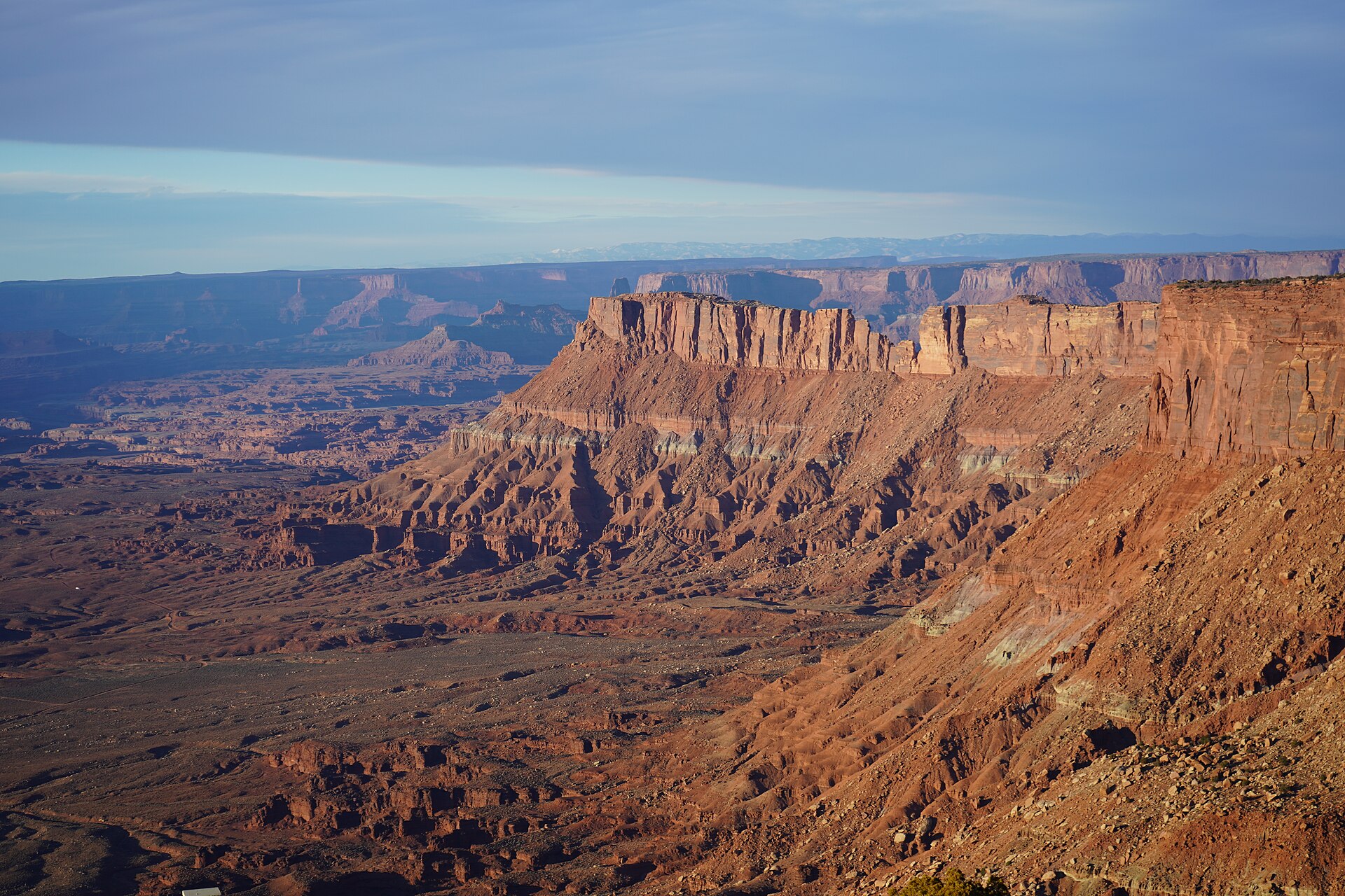 Plate CCCXXVII
Canyonlands Overlook
canyonCanyon Rims Recreation Area, Hatch Point, Utah
Island country read from the east rim.
38.4° N · 109.7° WOpen plate →
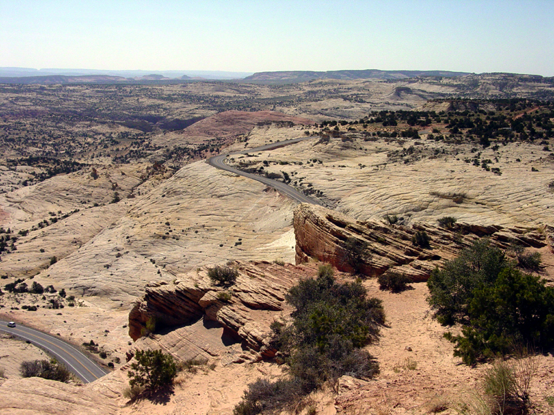 Plate CCCXXVIII
Head of the Rocks Overlook
canyonScenic Byway 12, east of Escalante, Utah
Slickrock falling away under a black highway thread.
37.7° N · 111.5° WOpen plate →
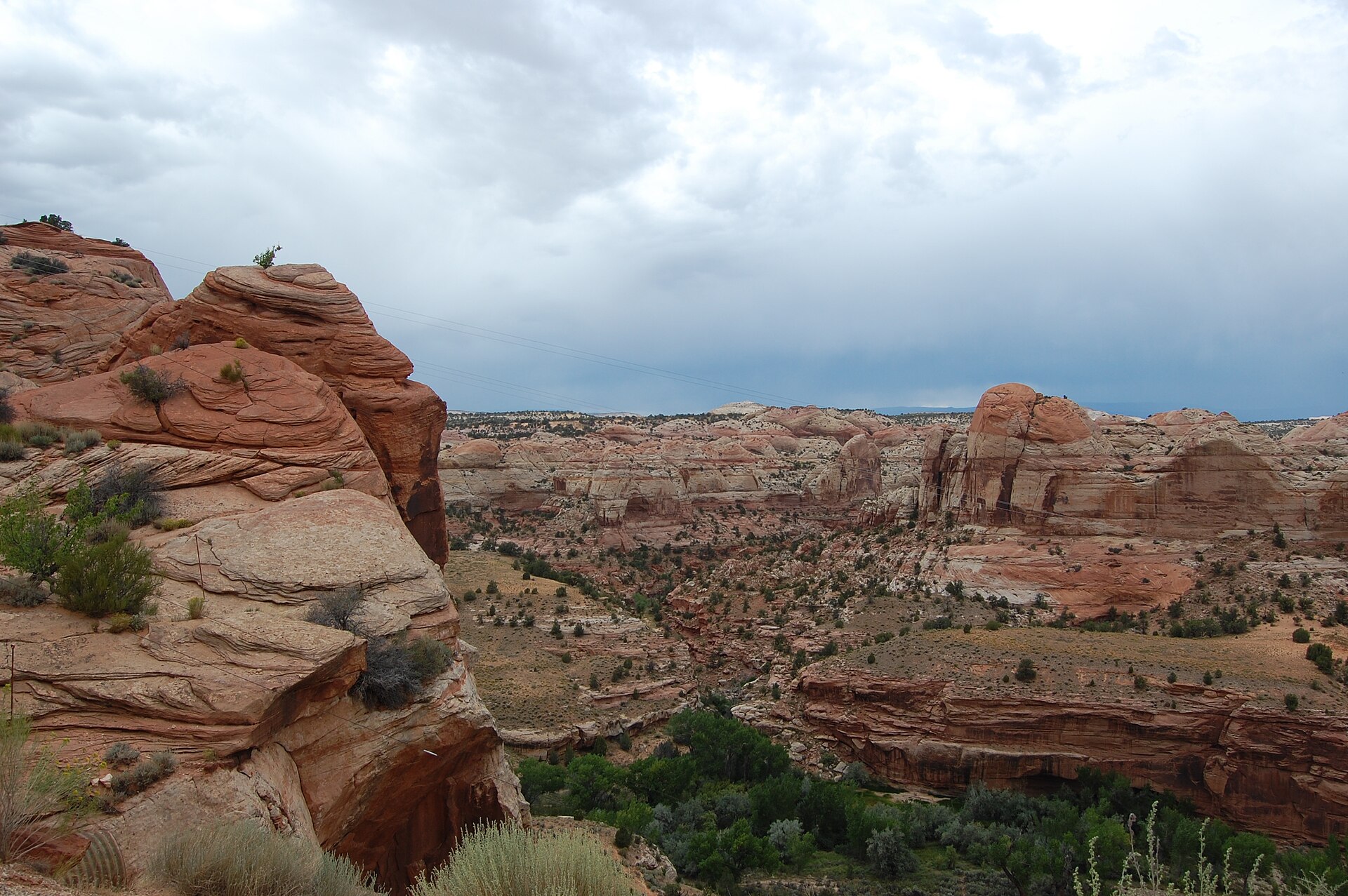 Plate CCCXXIX
Boynton Overlook
canyonScenic Byway 12, Escalante River, Utah
A red canyon the highway has to cross.
37.8° N · 111.4° WOpen plate →
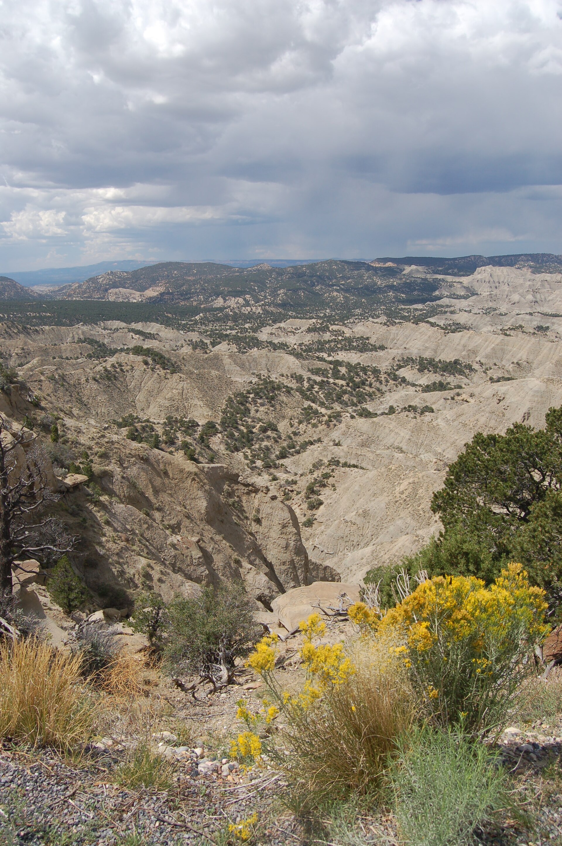 Plate CCCXXX
The Blues Overlook
desertScenic Byway 12, west of Escalante, Utah
Gray hills under a pink table of stone.
37.6° N · 111.8° WOpen plate →
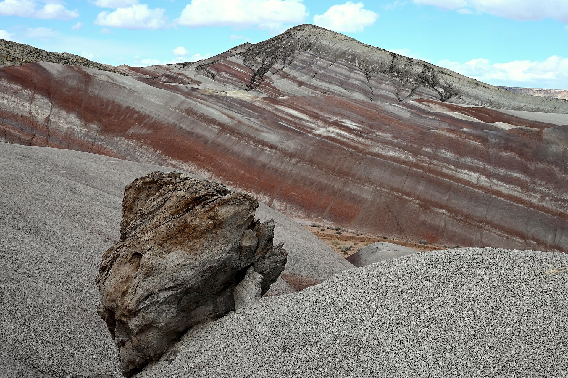 Plate CCCXXXI
Moonscape Overlook
desertSkyline Rim, Factory Bench (approx), Utah
Gray benches the Mancos kept after the sea left.
38.5° N · 110.8° WOpen plate →
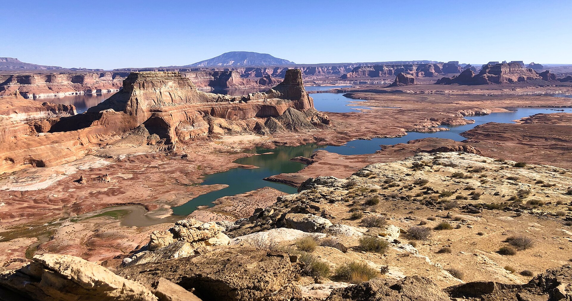 Plate CCCXXXII
Alstrom Point
canyonPadre Bay cape, Glen Canyon NRA (approx), Utah
A stone table over a drowned canyon.
37.1° N · 111.3° WOpen plate →
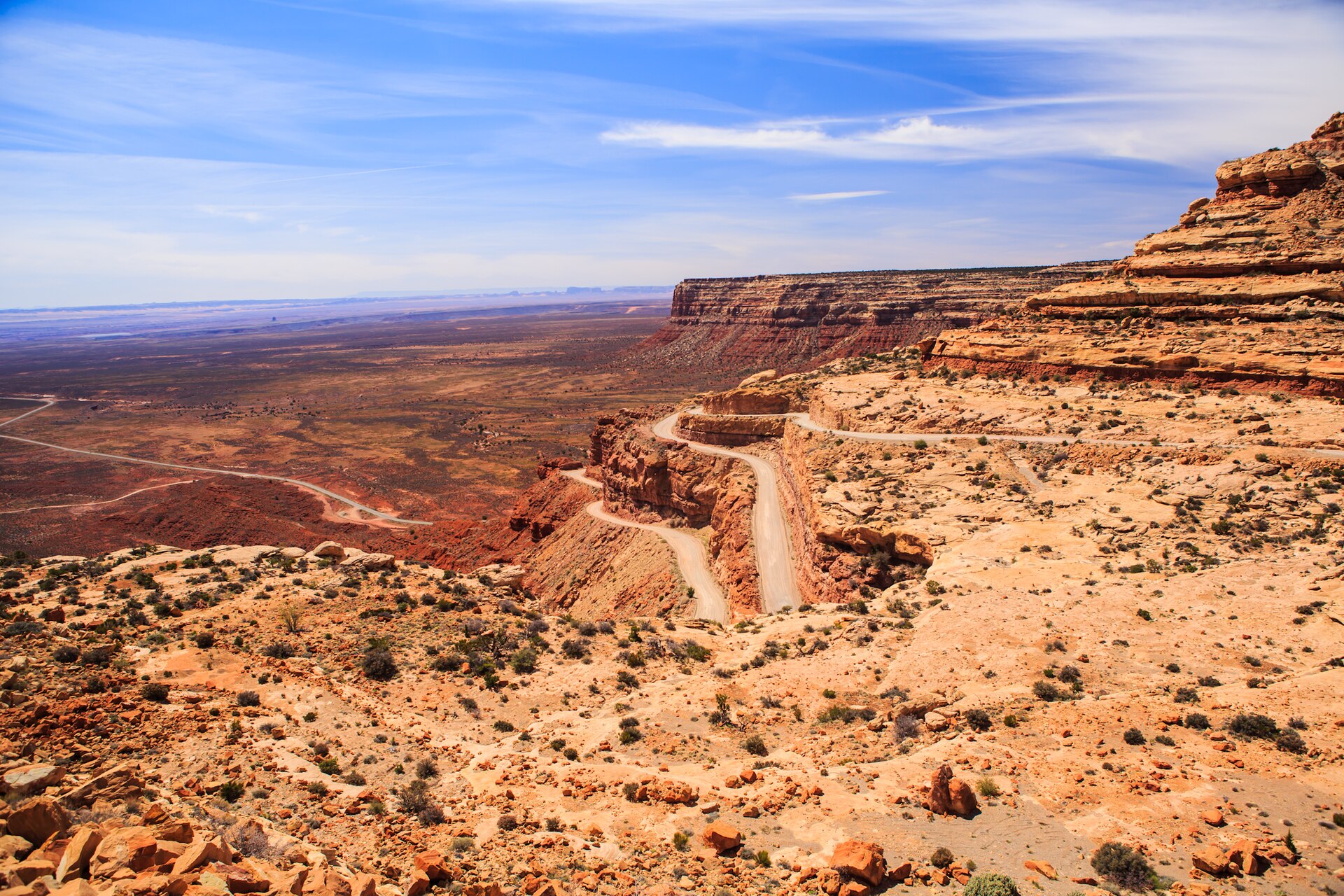 Plate CCCXXXIII
Moki Dugway
canyonUtah 261, Cedar Mesa switchbacks, Utah
A mesa wall the road learned to descend.
37.3° N · 109.9° WOpen plate →
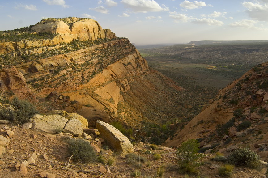 Plate CCCXXXIV
Comb Ridge
canyonComb Wash at UT-95, San Juan County, Utah
A stone comb standing over its own wash.
37.5° N · 109.7° WOpen plate →
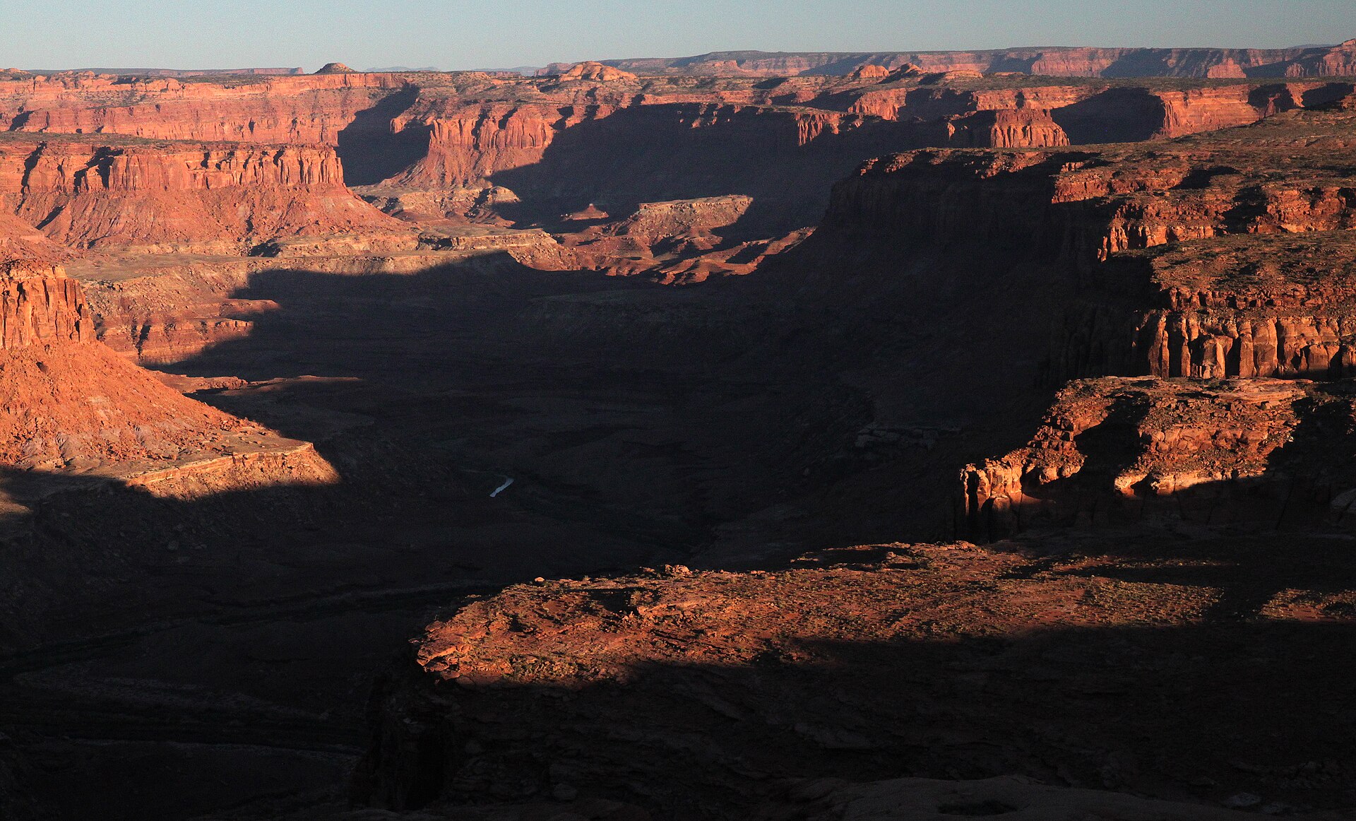 Plate CCCXXXV
Burr Point Overlook
canyonBurr Desert, Dirty Devil rim, Utah
A desert rim over a named dirty river.
38.2° N · 110.5° WOpen plate →
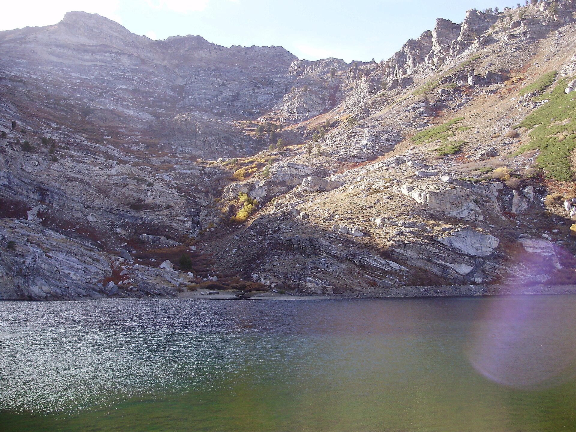 Plate CCCXLVI
Angel Lake
alpineEast Humboldt Range, Elko County, Nevada
A named tarn under Greys Peak.
41.0° N · 115.1° WOpen plate →
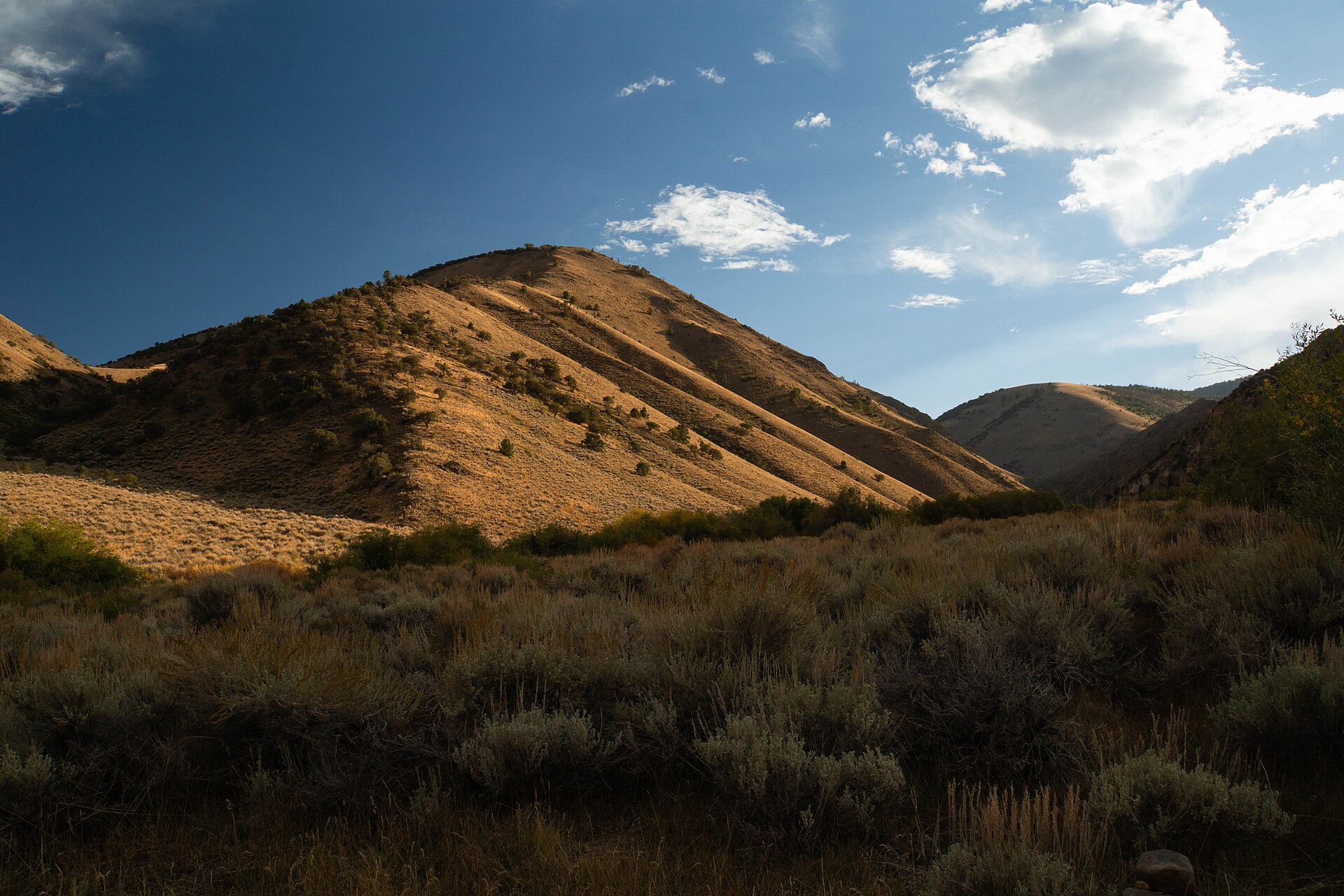 Plate CCCXLVII
Arc Dome
alpineToiyabe Range, Nye County, Nevada
The high point of the Toiyabe Range.
38.8° N · 117.4° WOpen plate →
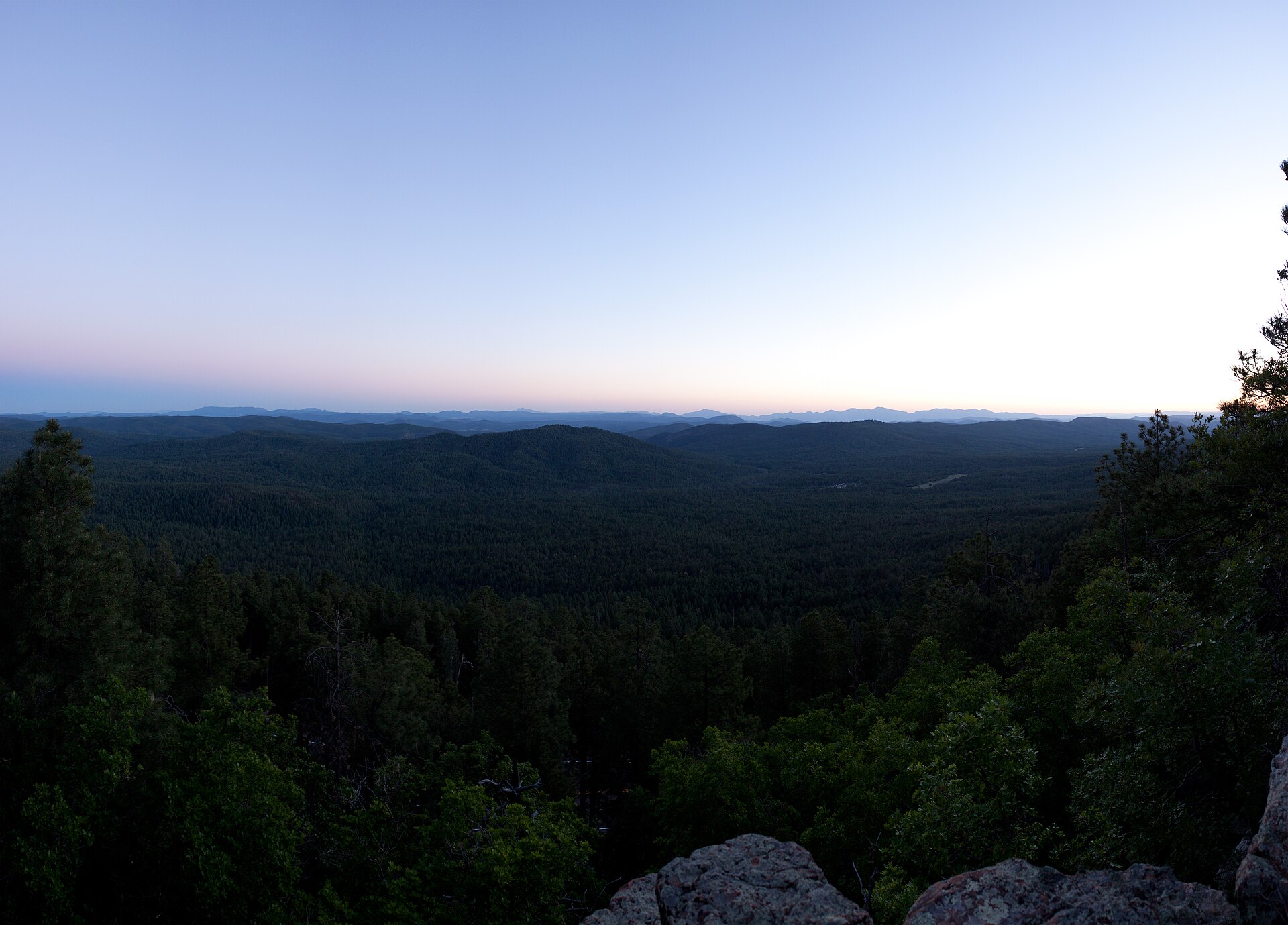 Plate CCCLI
Mogollon Rim
hillsWoods Canyon overlook, Apache-Sitgreaves, Arizona
Where the Colorado Plateau ends.
34.3° N · 110.9° WOpen plate →
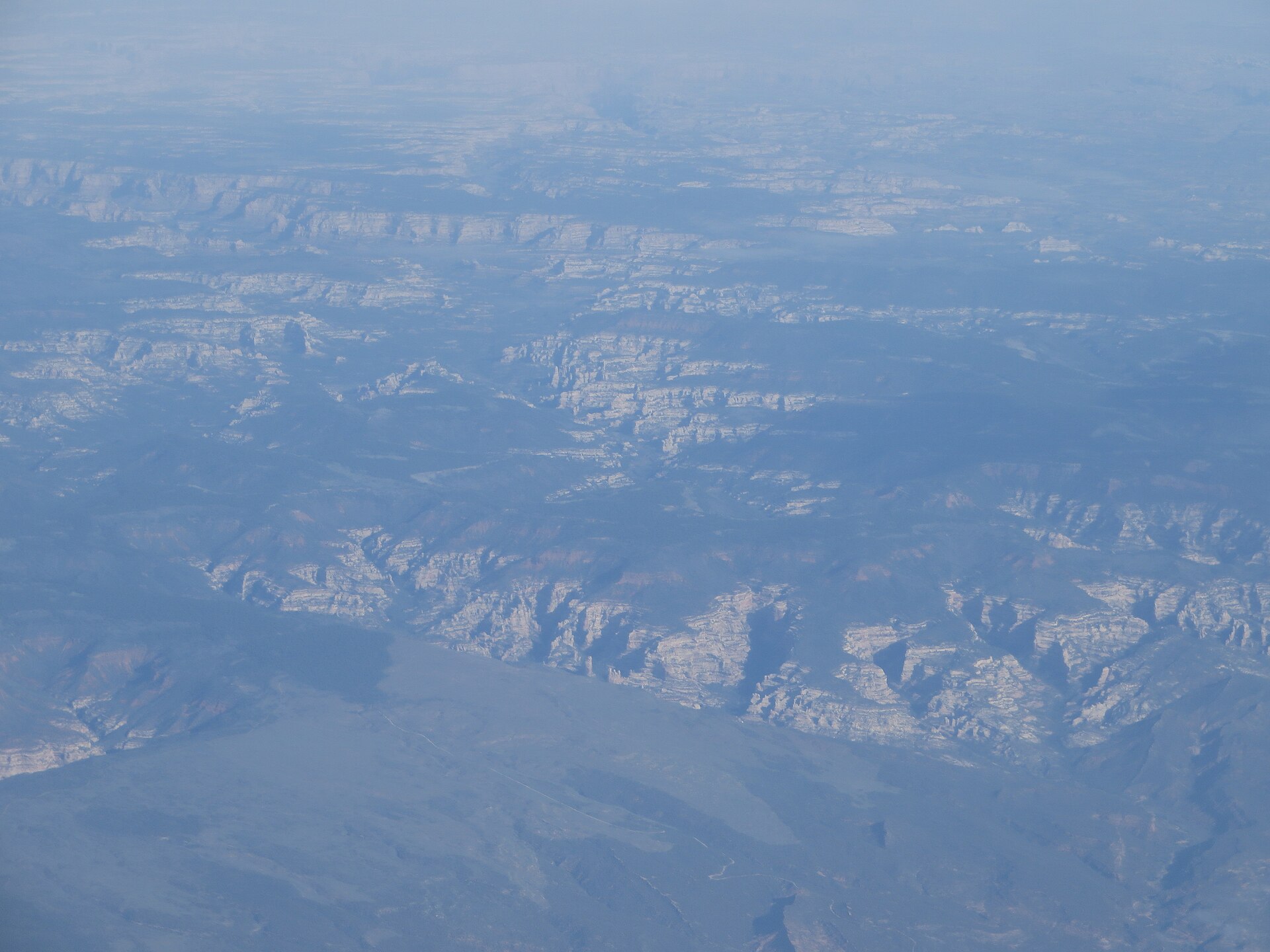 Plate CCCLIII
Dark Canyon
canyonDark Canyon Wilderness, Manti-La Sal NF, Utah
A quiet cut behind the Needles.
37.9° N · 110.1° WOpen plate →
Asked at the trailhead
Questions already asked
- What is the best Southwest route?
- Many travelers loop Grand Canyon, Page, southern Utah parks, and Monument Valley. This region index lists every Southwest plate so you can add quieter country between the famous stops.
Change course