State chapter
Wild places in Idaho
Idaho has 8 plates in this atlas, on hills, canyon, dunes, alpine, and volcanic ground.
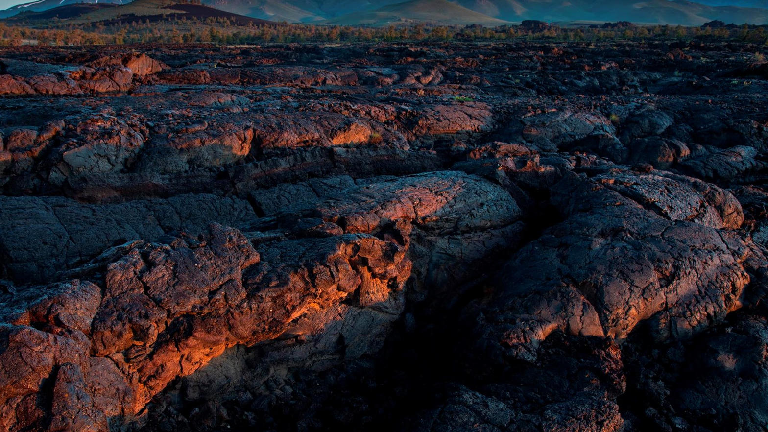
FrontispieceCraters of the Moon, Idaho
- Plates
- 8
- Terrains
- Hills, Canyon, Dunes, Alpine, Volcanic
Idaho
The plates
Plate XXXVIIICraters of the Moon
volcanicSnake River Plain, Idaho
A rehearsal for another planet, left in Idaho.
43.4° N · 113.5° WOpen plate →
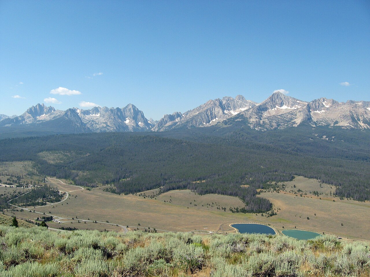 Plate LXXI
The Sawtooths
alpineSawtooth Range, near Stanley, Idaho
A hidden range of teeth above a town of two hundred souls.
44.1° N · 115.0° WOpen plate →
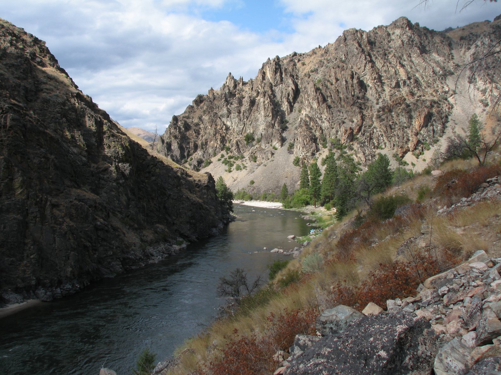 Plate XCI
River of No Return
canyonFrank Church–River of No Return Wilderness, Idaho
A river that named itself by refusing a way back.
44.7° N · 114.8° WOpen plate →
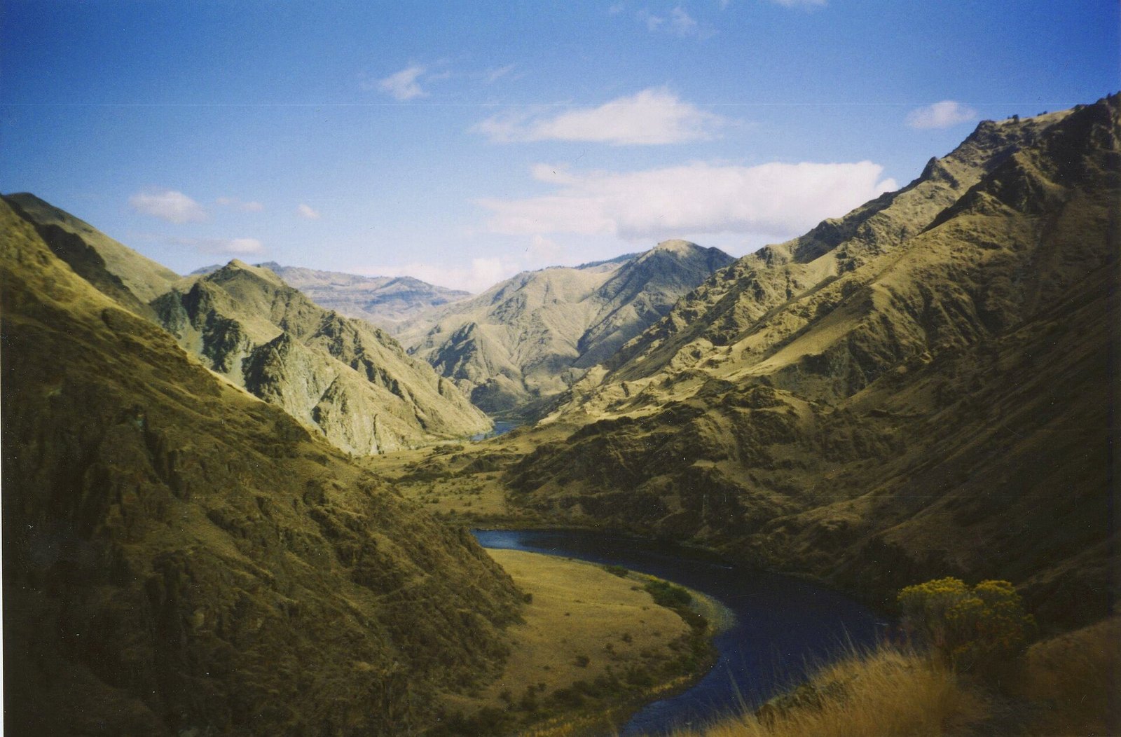 Plate CXXX
Hells Canyon
canyonSnake River, Idaho–Oregon line, Idaho / Oregon
A canyon deeper than the famous one, and quieter.
45.4° N · 116.7° WOpen plate →
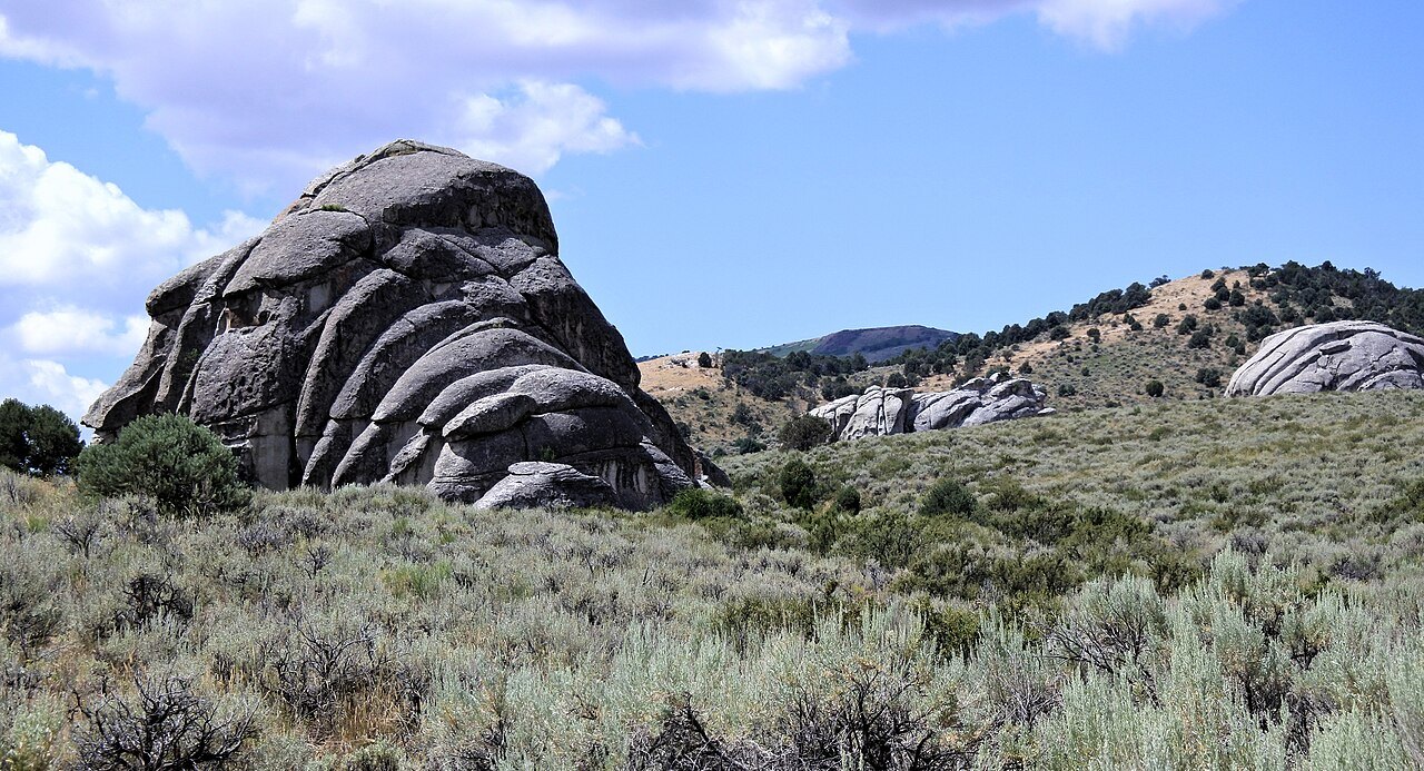 Plate CXLIX
City of Rocks
hillsAlbion Mountains, Cassia County, Idaho
A stone city the wagons named and then left.
42.1° N · 113.7° WOpen plate →
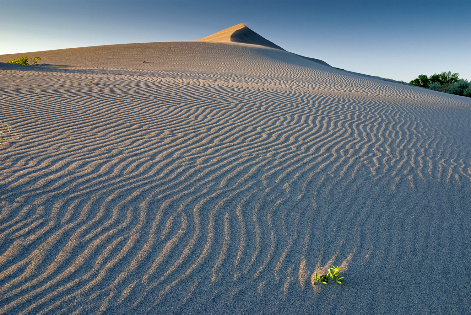 Plate CCCXXIII
Bruneau Dunes
duneBruneau Dunes State Park, Snake River Plain, Idaho
A pale dune ridge over sage and a hard Idaho sky.
42.9° N · 115.7° WOpen plate →
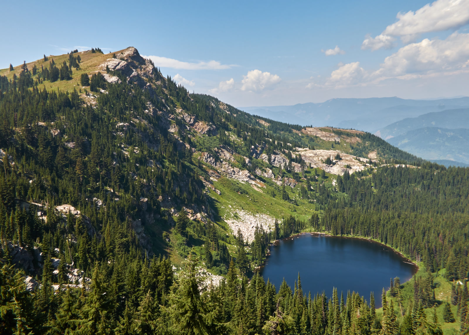 Plate CCCXLIII
Larkins Lake
alpineMallard-Larkins Pioneer Area, St. Joe, Idaho
A named lake under its own Clearwater peak.
47.0° N · 115.6° WOpen plate →
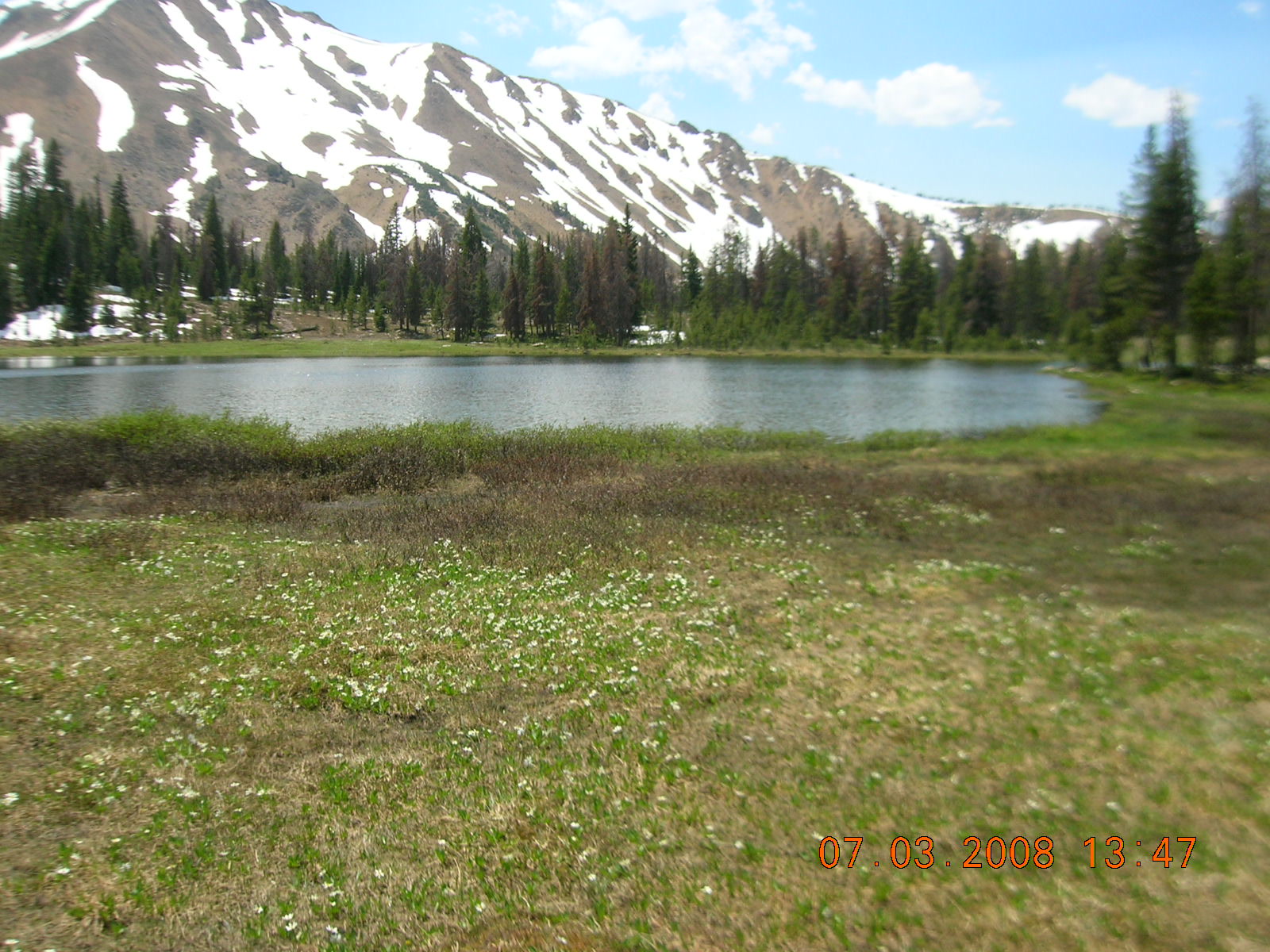 Plate CCCXLIV
Fourth of July Lake
alpineWhite Cloud Mountains, Sawtooth NRA, Idaho
High water in the quieter range beside the Sawtooths.
44.0° N · 114.6° WOpen plate →