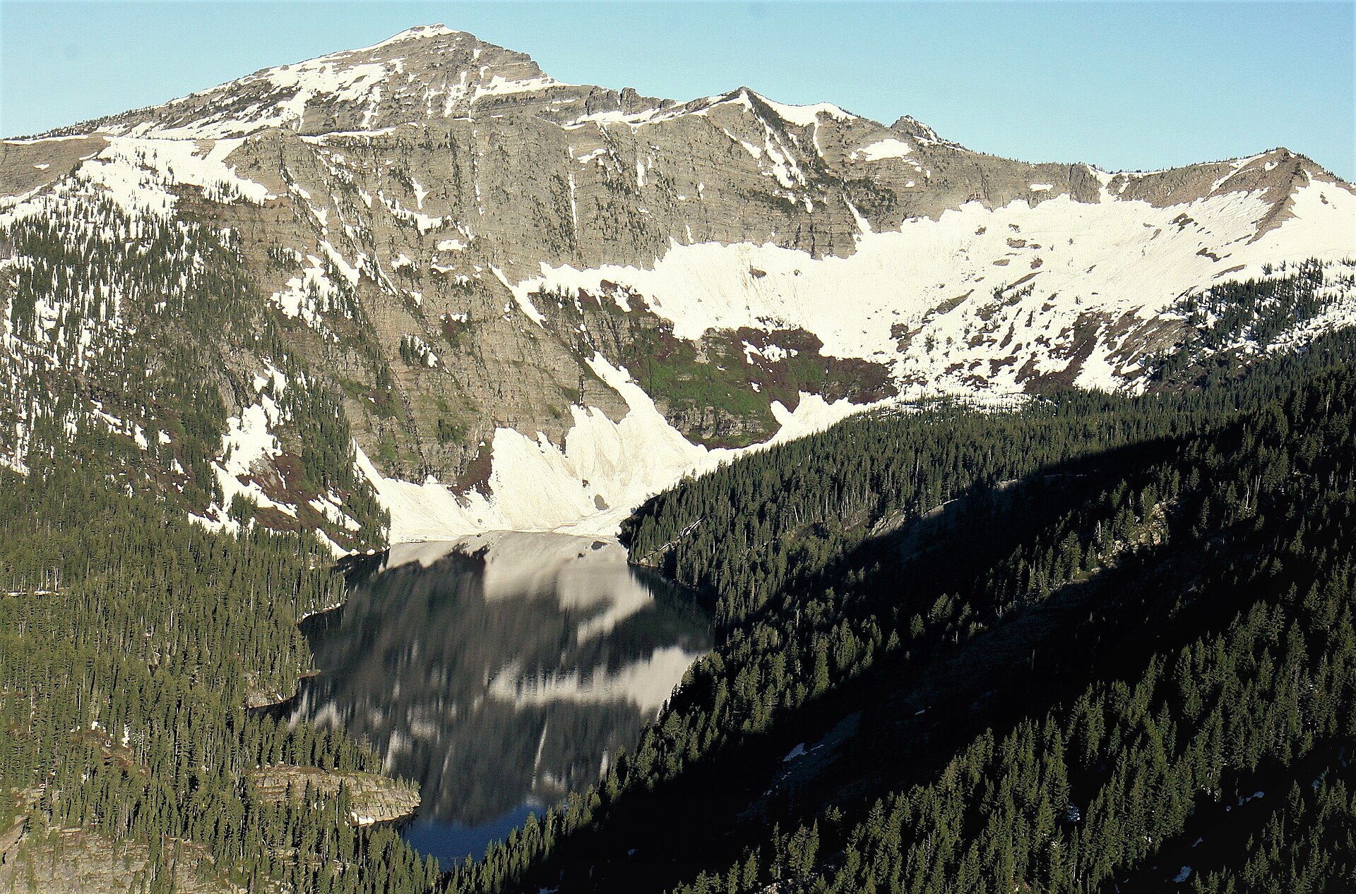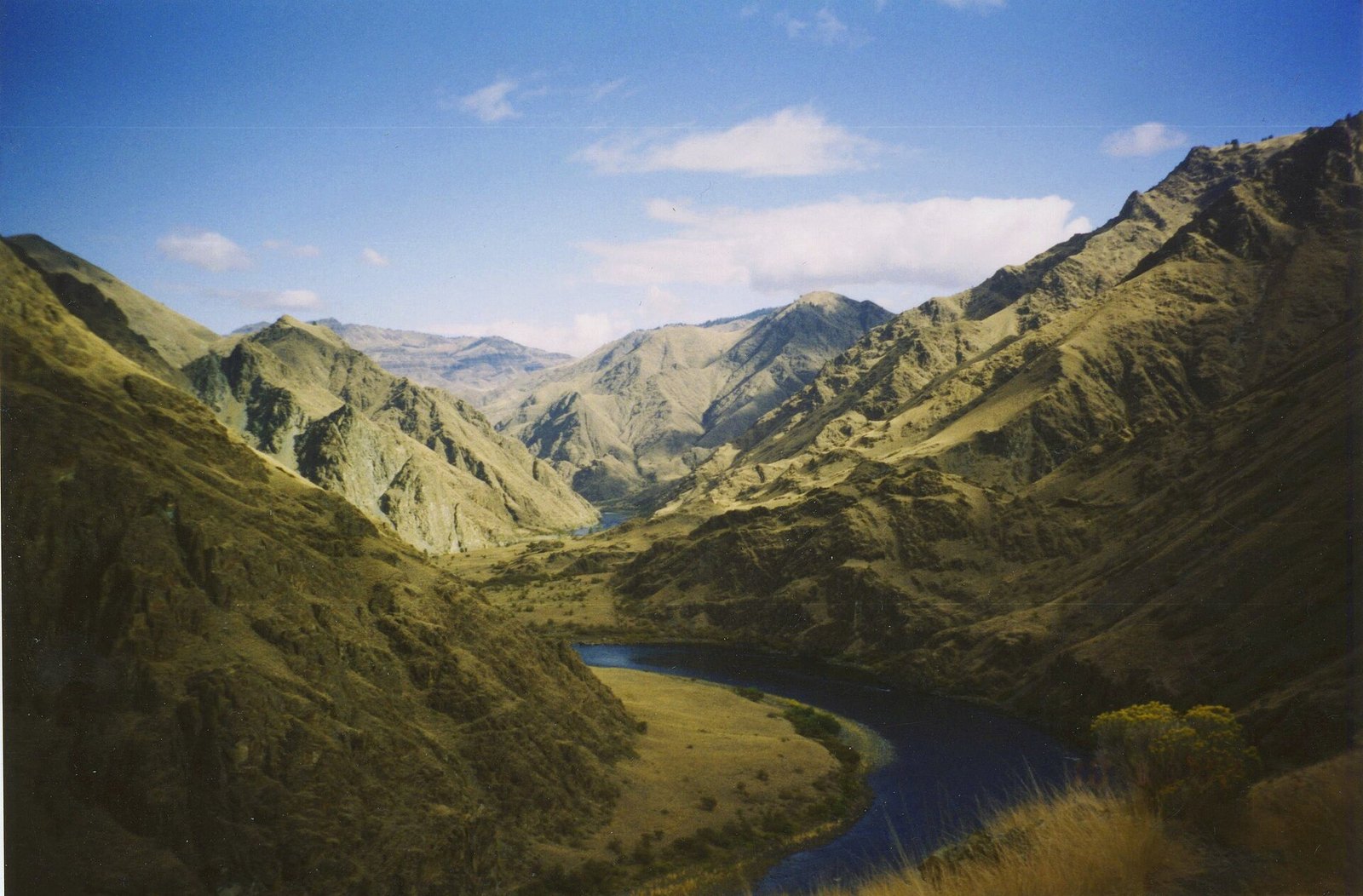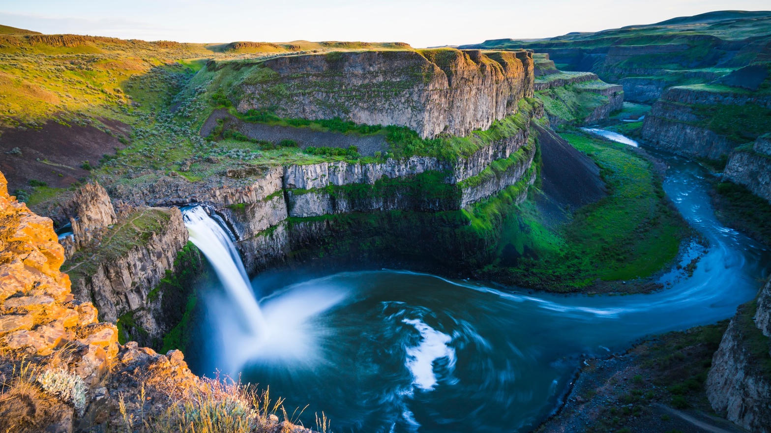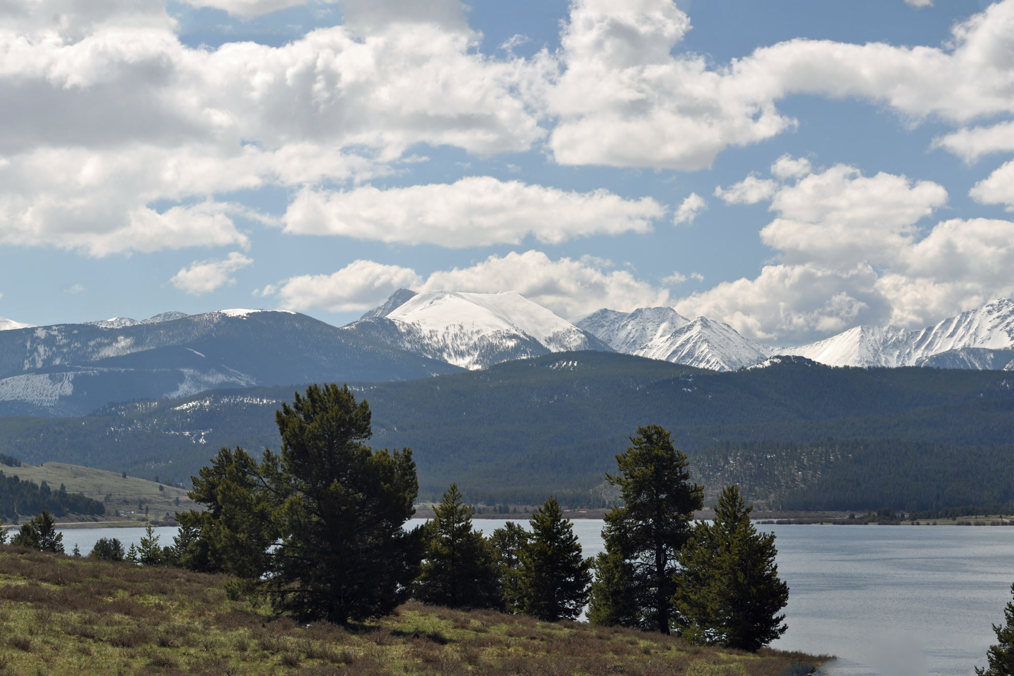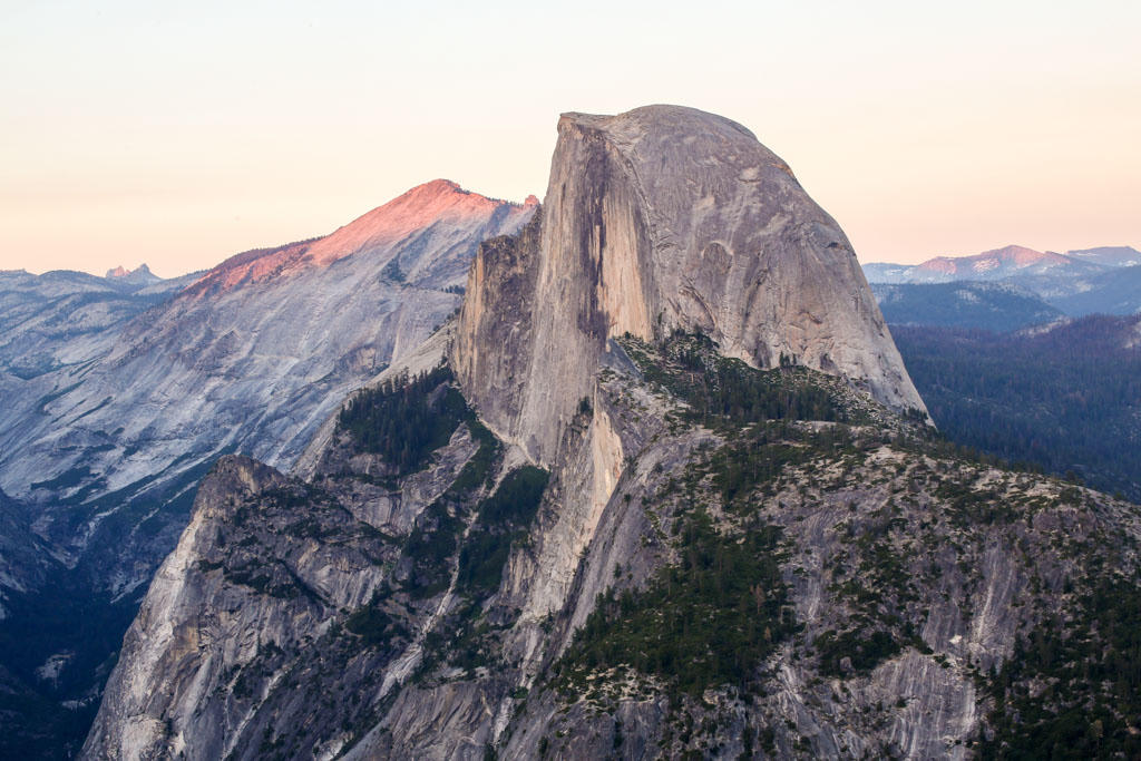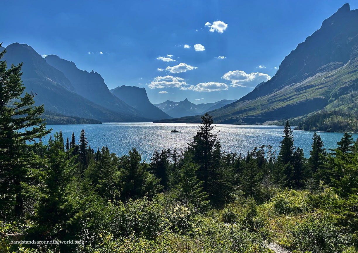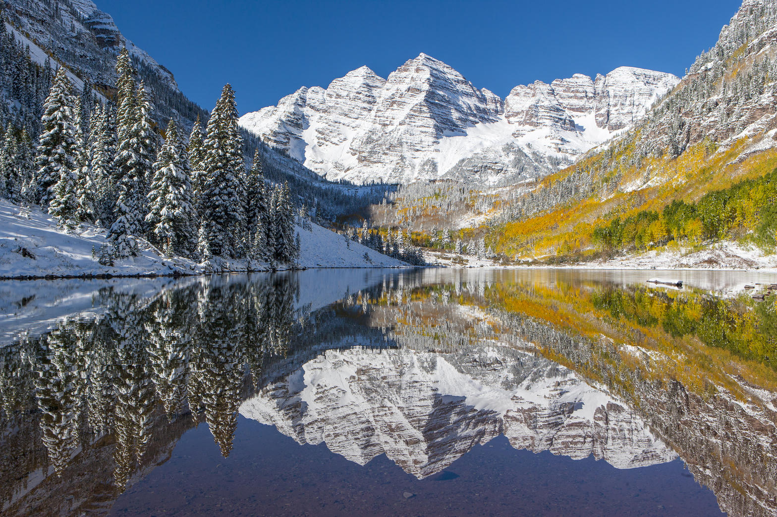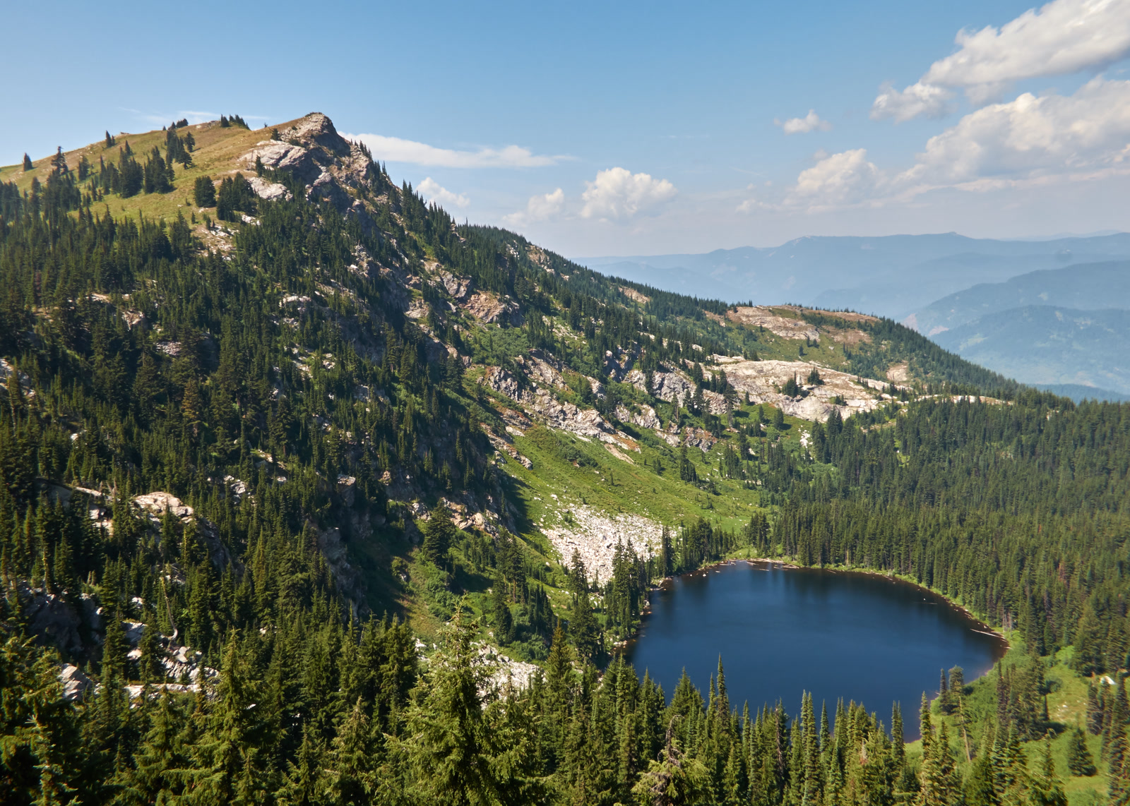
Fig. 1Larkins Lake and Larkins Peak from the east
Landform
A Clearwater divide lake under Larkins Peak, in the Mallard-Larkins Pioneer Area — walked in from the St. Joe, not a highway tarn.
Field note
Larkins Lake and Larkins Peak sit in the Mallard-Larkins Pioneer Area, on the divide between the Little North Fork of the Clearwater and the North Fork. The Forest Service frame looks east, peak over water. The lake is near 5,570 feet; Larkins Peak near 6,640. Avery is the town on the St. Joe. This plate is Larkins Lake, not the Sawtooths and not Snow Peak.
Larkins Lake is the named water in the Mallard-Larkins Pioneer Area, reached from the St. Joe. Avery is the town. The peak in the same frame is Larkins Peak. This plate is that lake, not a Sawtooth tarn and not Snow Peak.