State chapter
Wild places in South Dakota
South Dakota has 5 plates in this atlas, on hills and prairie ground.

FrontispieceBadlands, South Dakota
- Plates
- 5
- Terrains
- Hills, Prairie
South Dakota
The plates
Plate XLVIIBadlands
hillsWhite River drainage, South Dakota
A prairie that has been taken apart and left in piles.
43.9° N · 102.3° WOpen plate →
 Plate LXV
The Needles, Black Hills
hillsNeedles Highway, Custer State Park, South Dakota
A granite forest the plains were not supposed to have.
43.8° N · 103.5° WOpen plate →
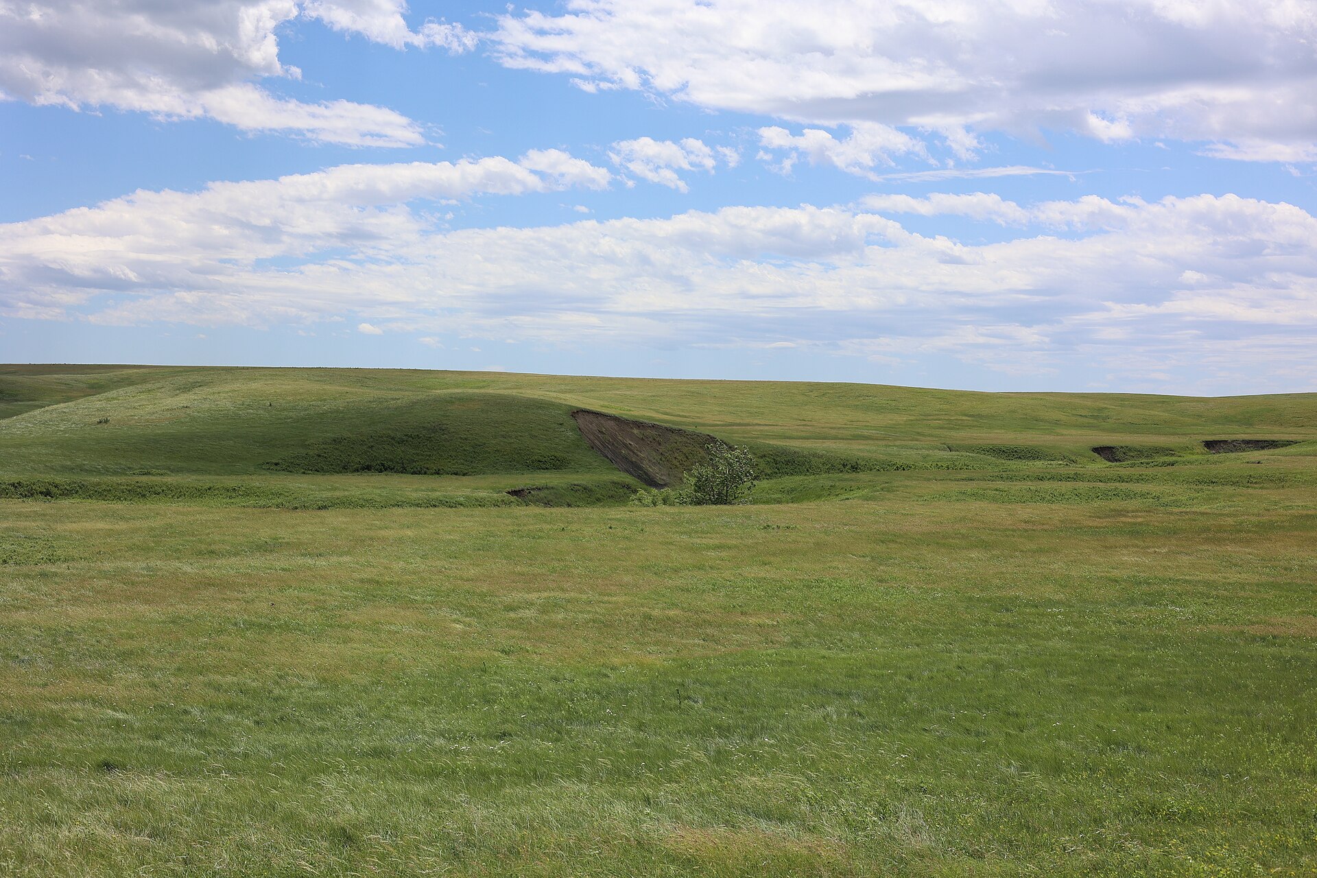 Plate CCLIV
Fort Pierre National Grassland
prairieMissouri River, near Fort Pierre, South Dakota
A mixed-grass sea the river towns forgot.
44.1° N · 100.3° WOpen plate →
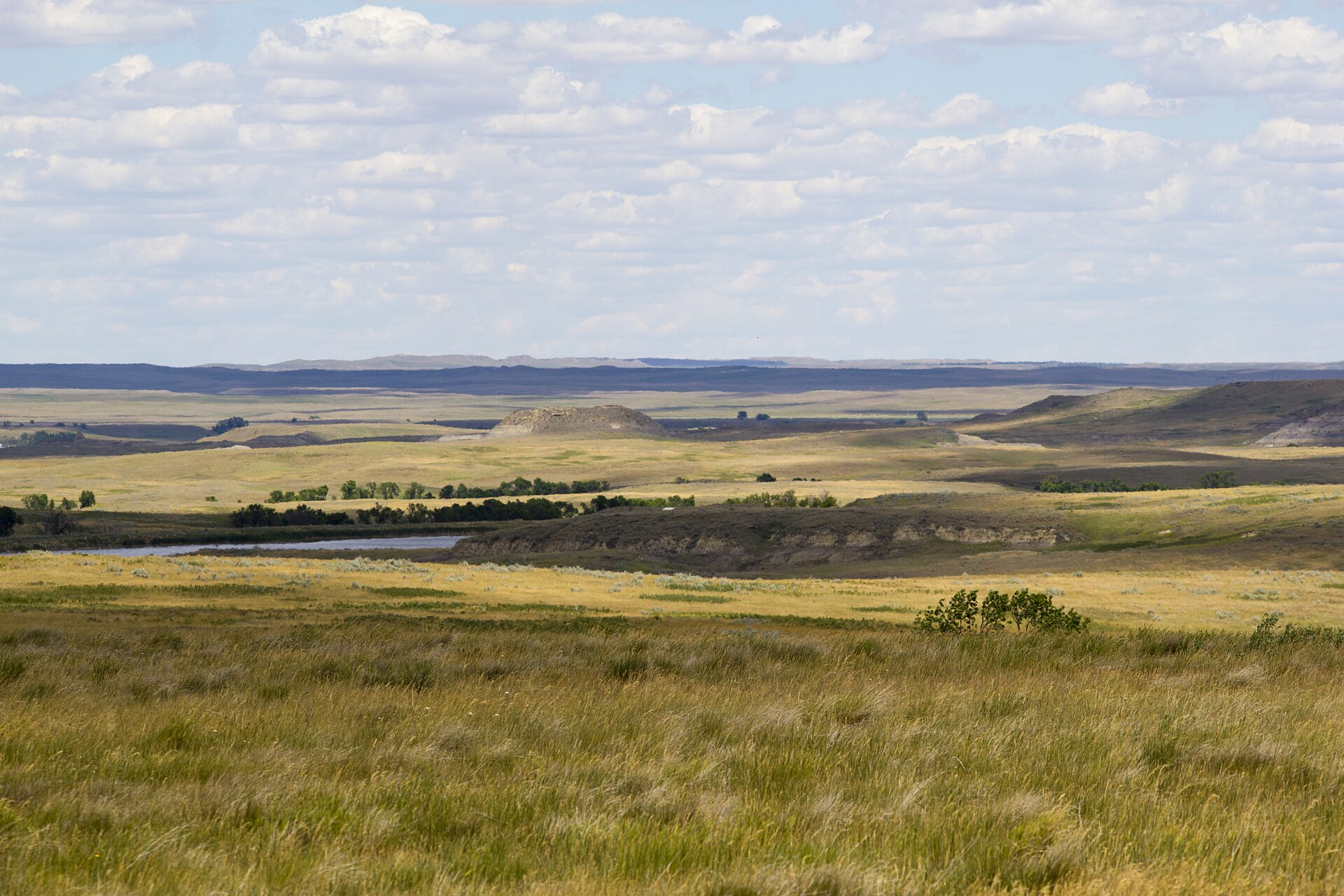 Plate CCLV
Grand River National Grassland
prairienorthwestern South Dakota, near Lemmon, South Dakota
Prairie and low buttes the buses never learned.
45.7° N · 102.4° WOpen plate →
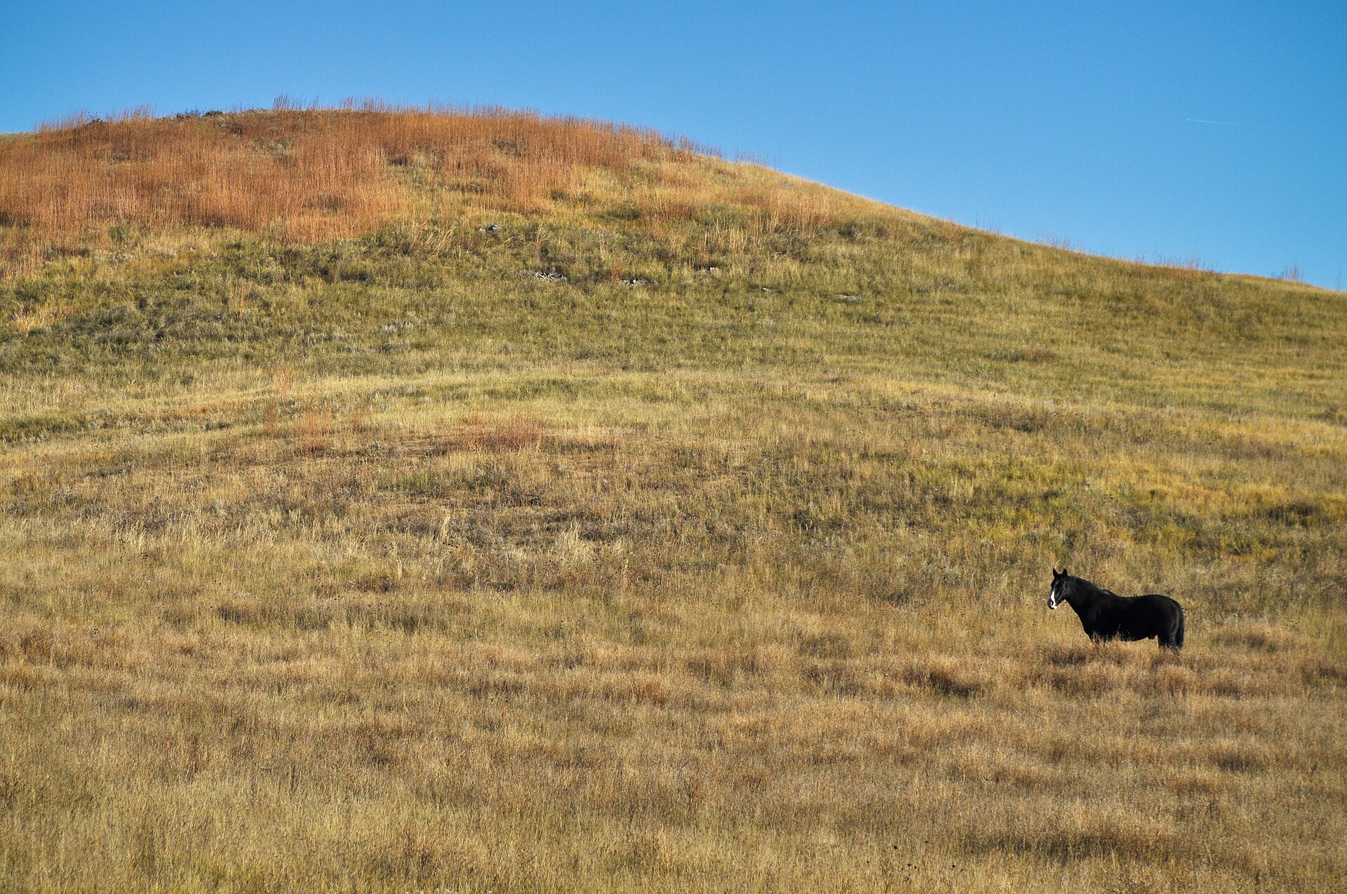 Plate CCLIX
Buffalo Gap National Grassland
hillssouthwestern South Dakota, near Wall, South Dakota
The grass that walks up to the Badlands and stops.
43.8° N · 102.2° WOpen plate →