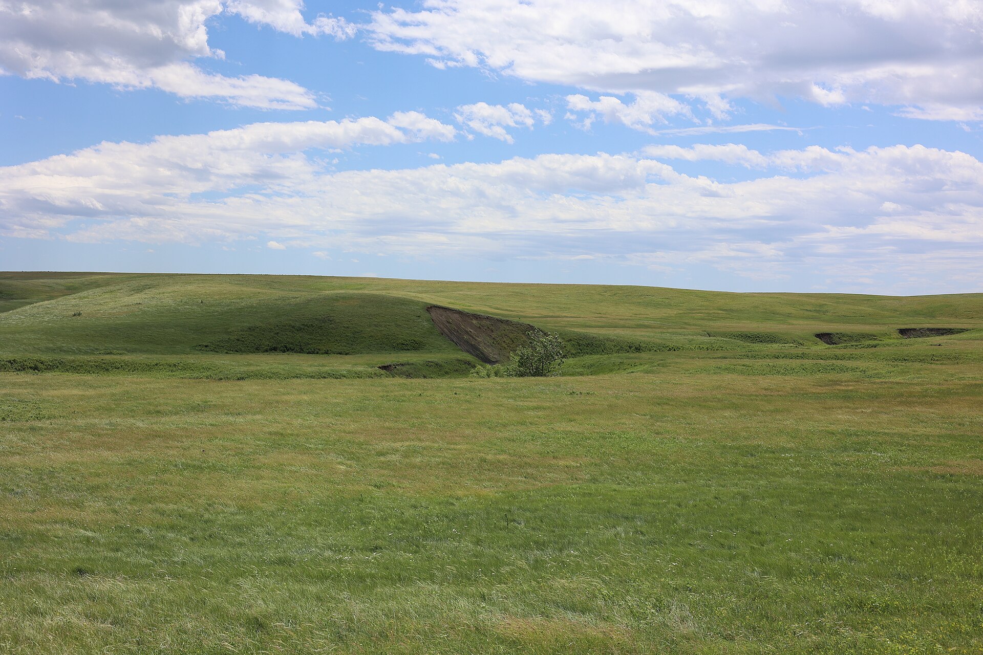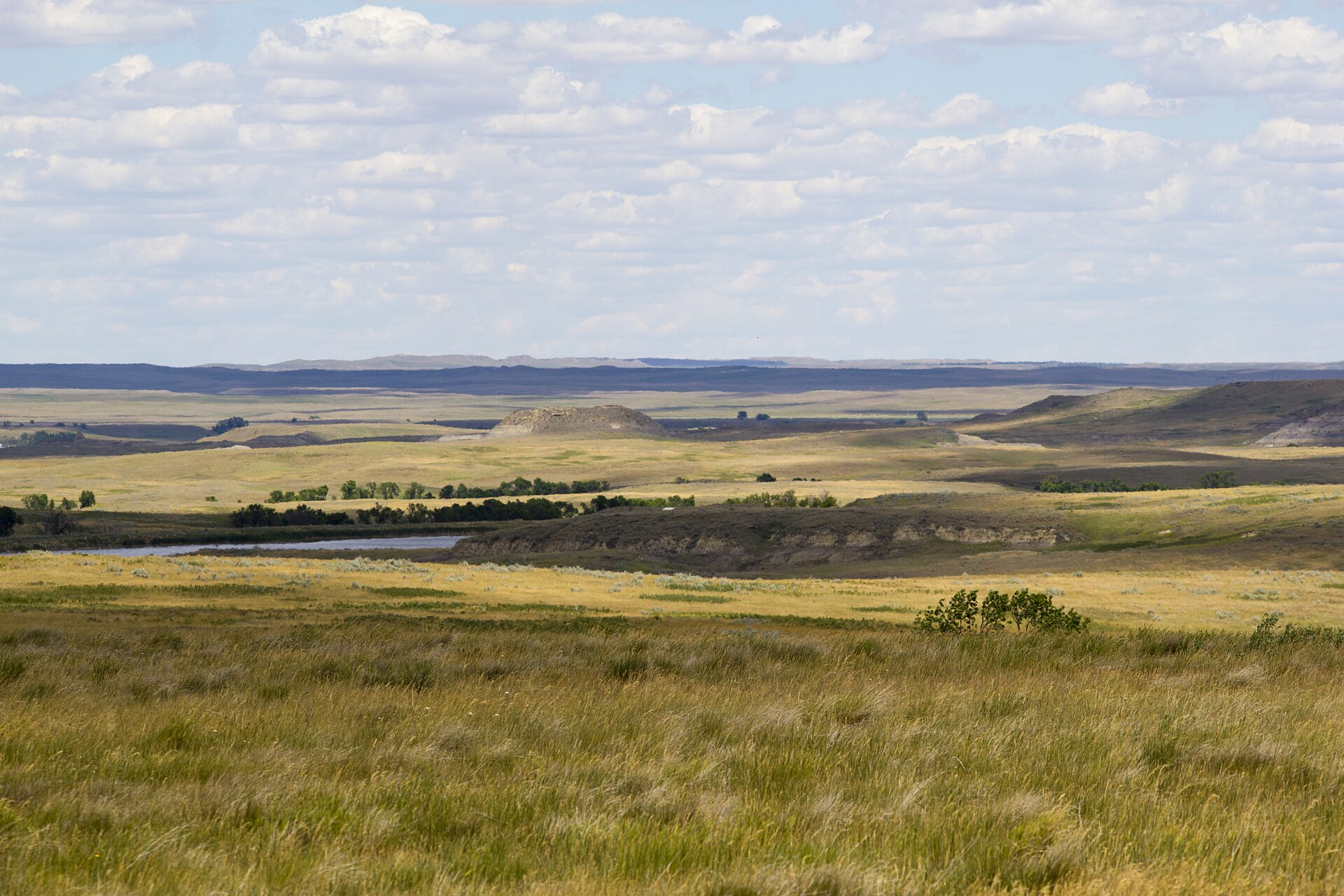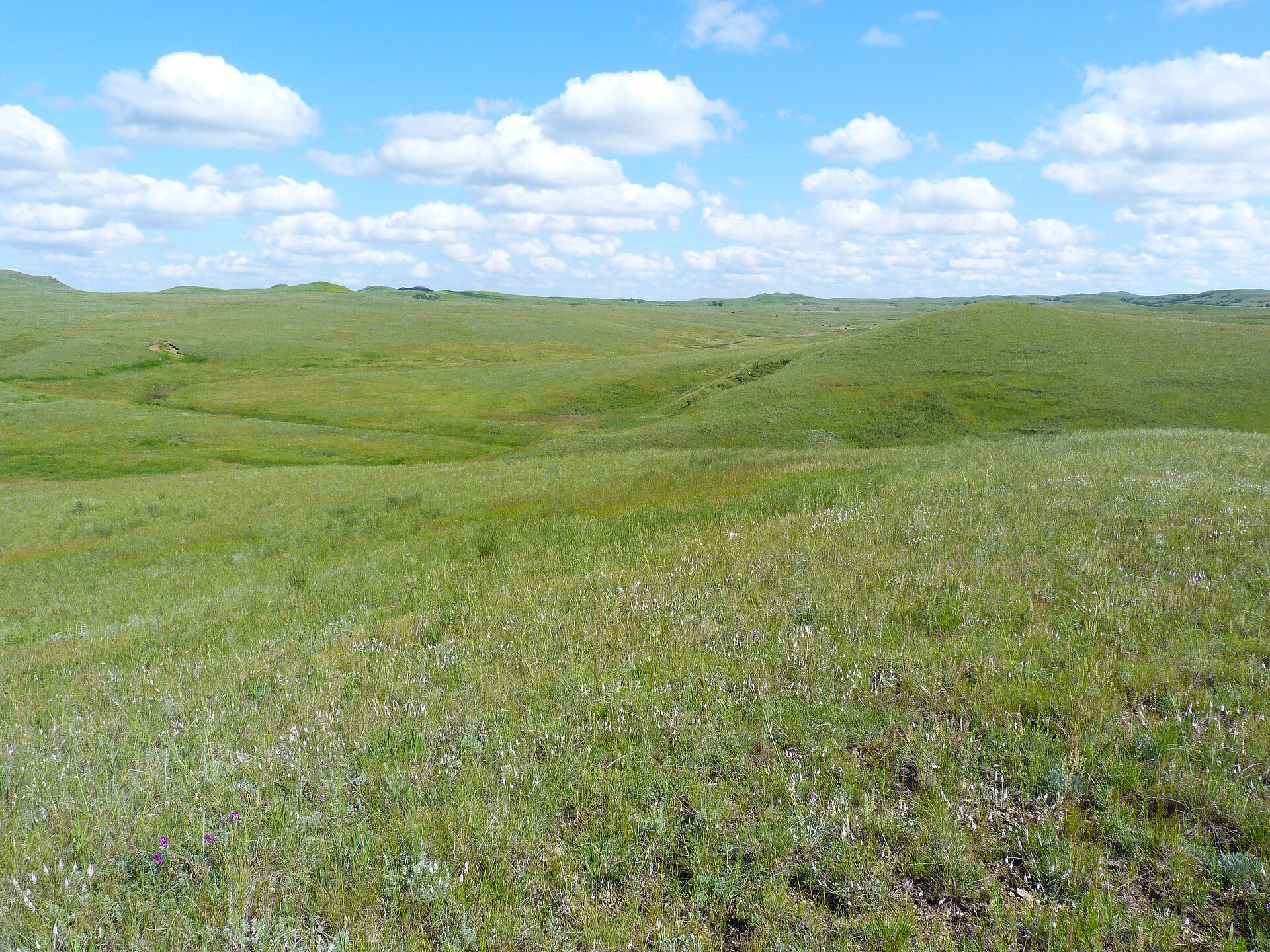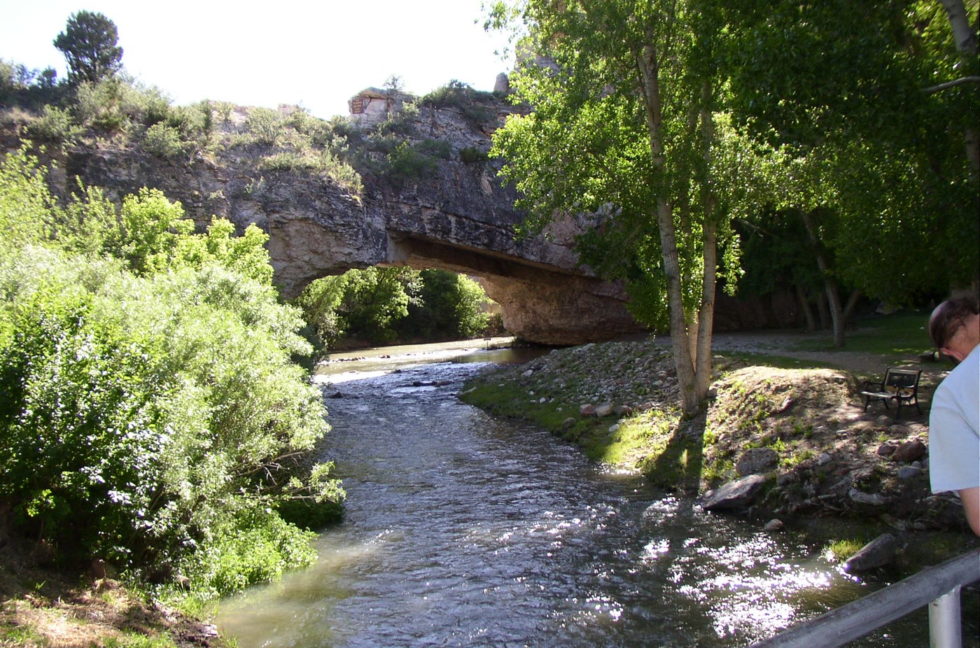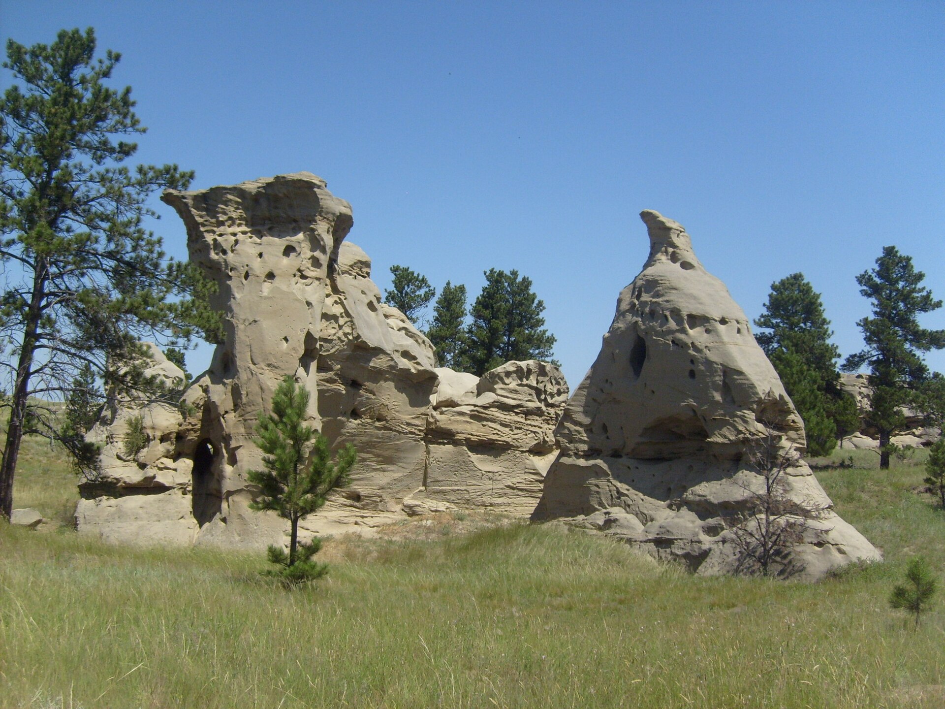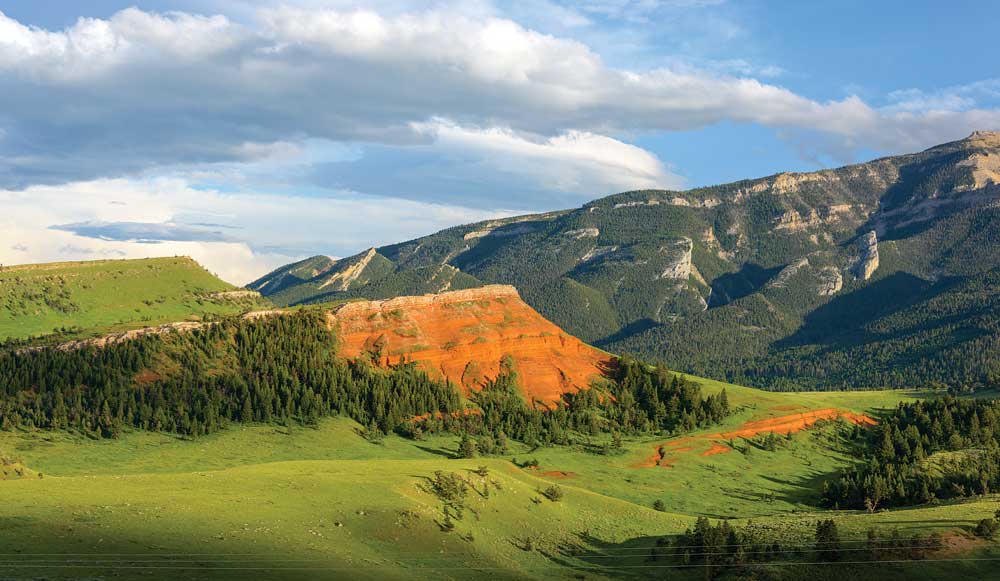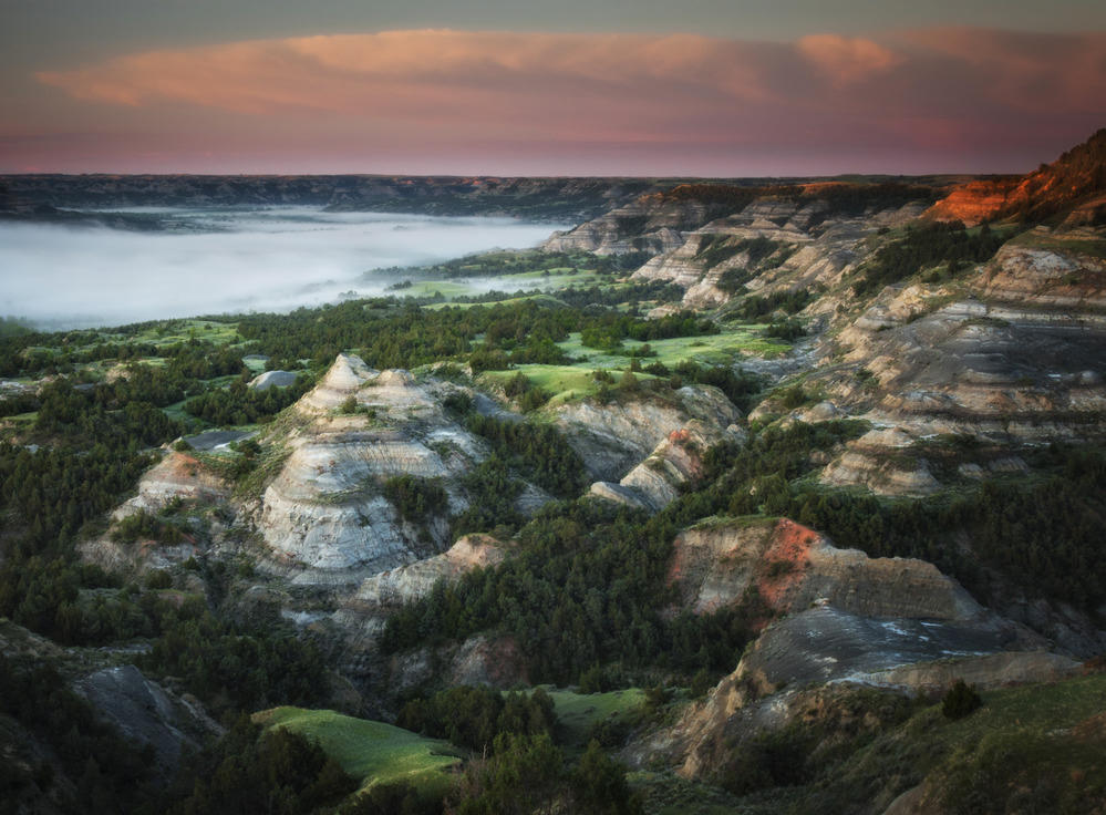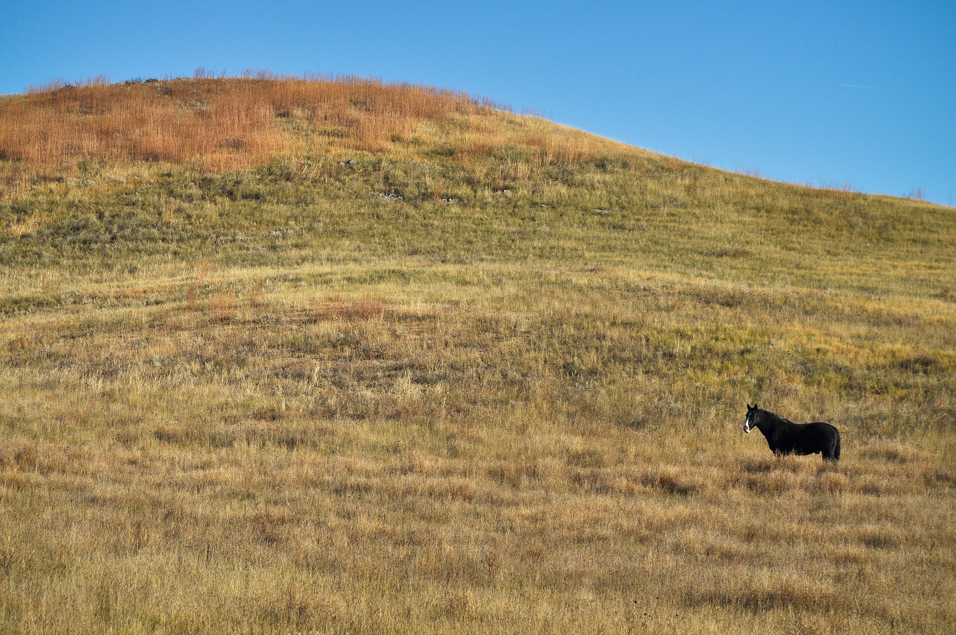
Fig. 1A lone horse on golden mixed-grass, Buffalo Gap National Grassland
Landform
A USFS mixed-grass sea that meets the Badlands wall — prairie first, then the breaks. Conata and Steer Pasture sit on this rim, not on the park loop.
Field note
You stand in grassland the Forest Service kept. The park’s clay wall rises beyond the last blades. Wall is the nearest town. This plate is Buffalo Gap National Grassland, not Badlands National Park and not the Loop Road.
Buffalo Gap is the USFS grass that meets the Badlands wall and stops. Conata and Steer Pasture sit on this rim. Wall is the town. This plate is the national grassland, not Badlands National Park and not the Loop Road.