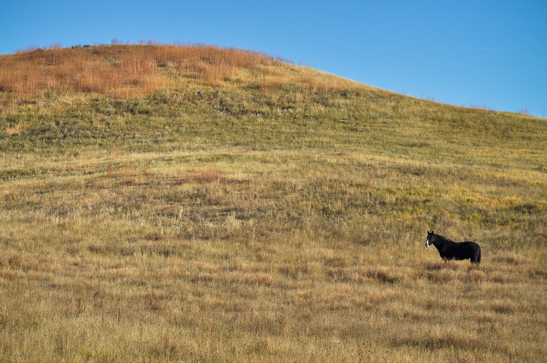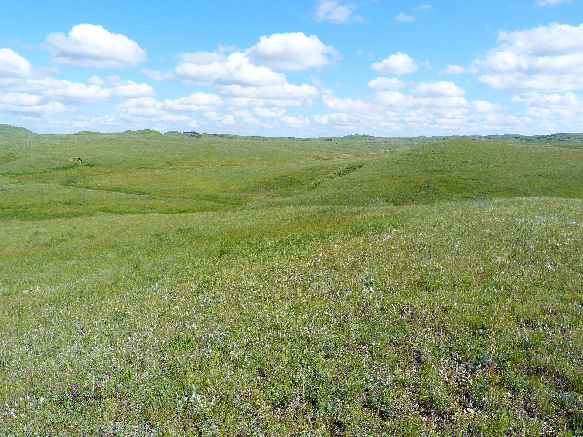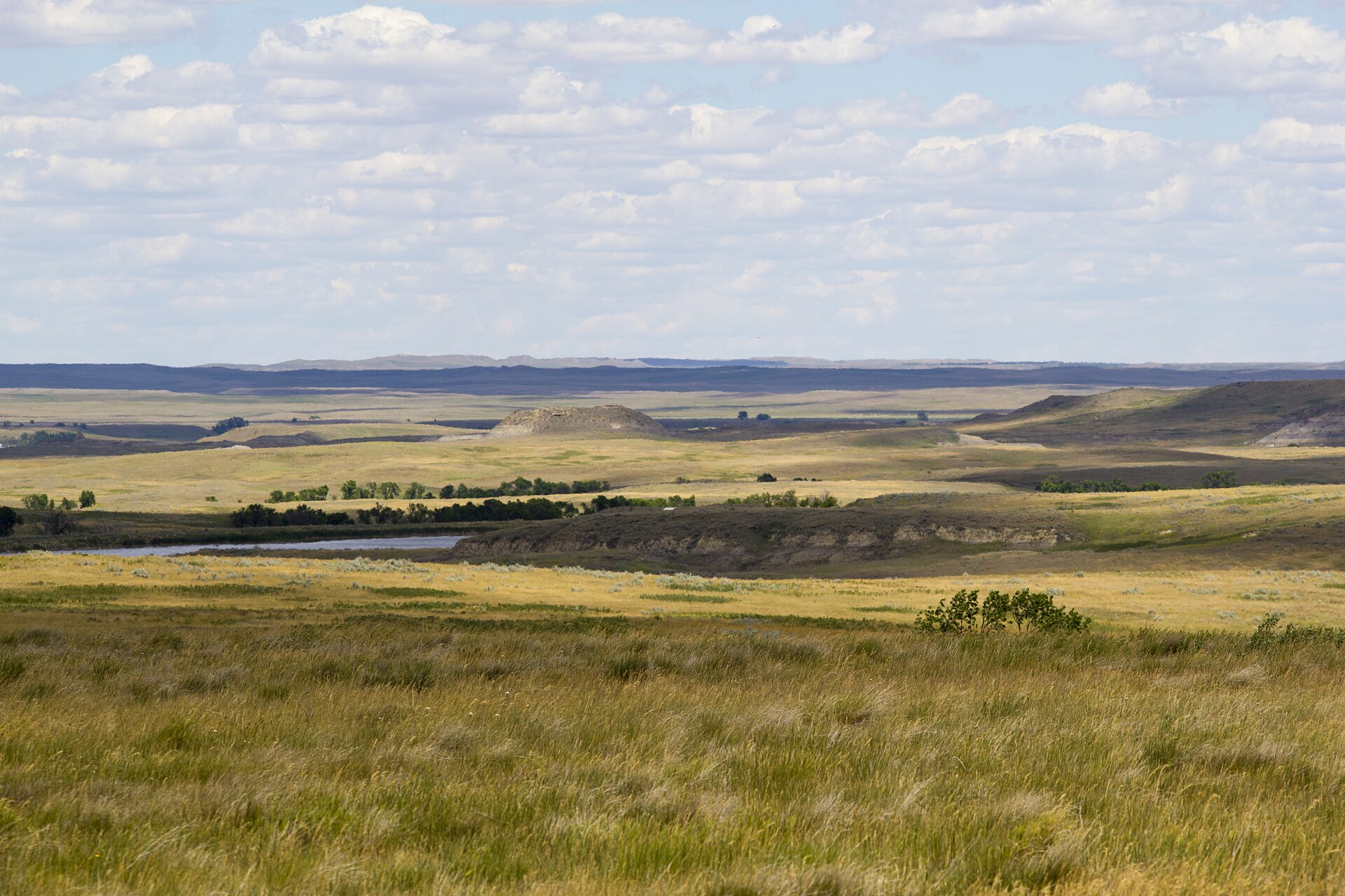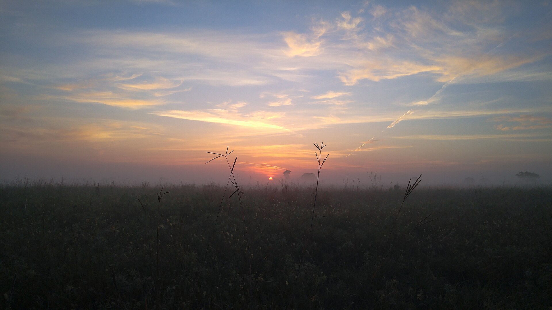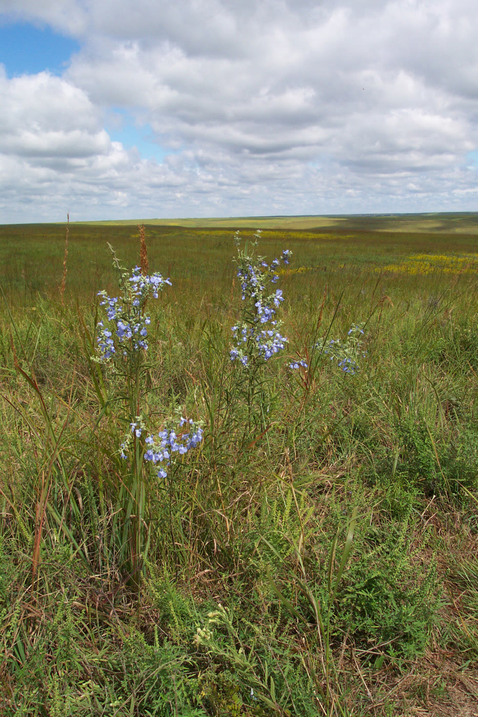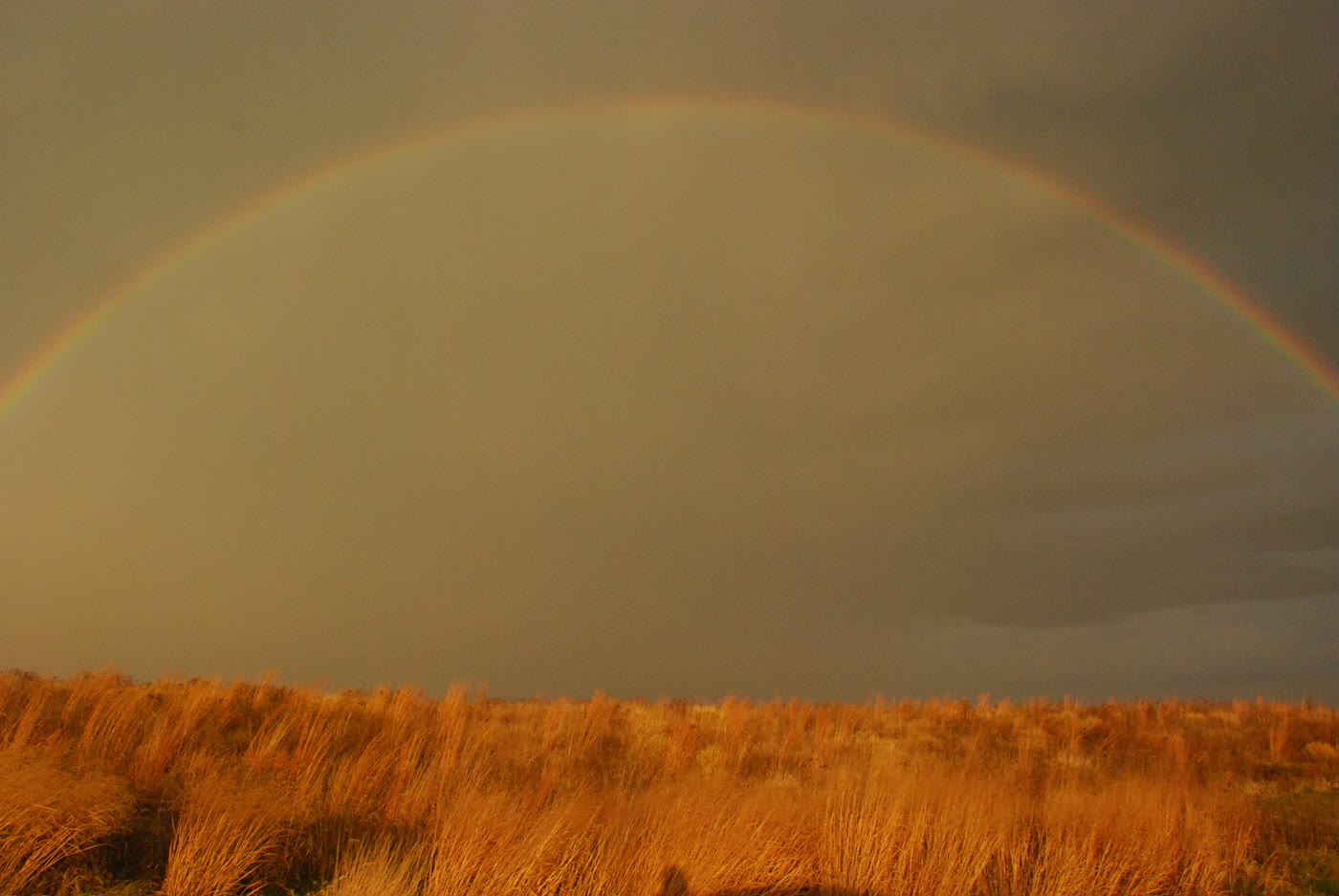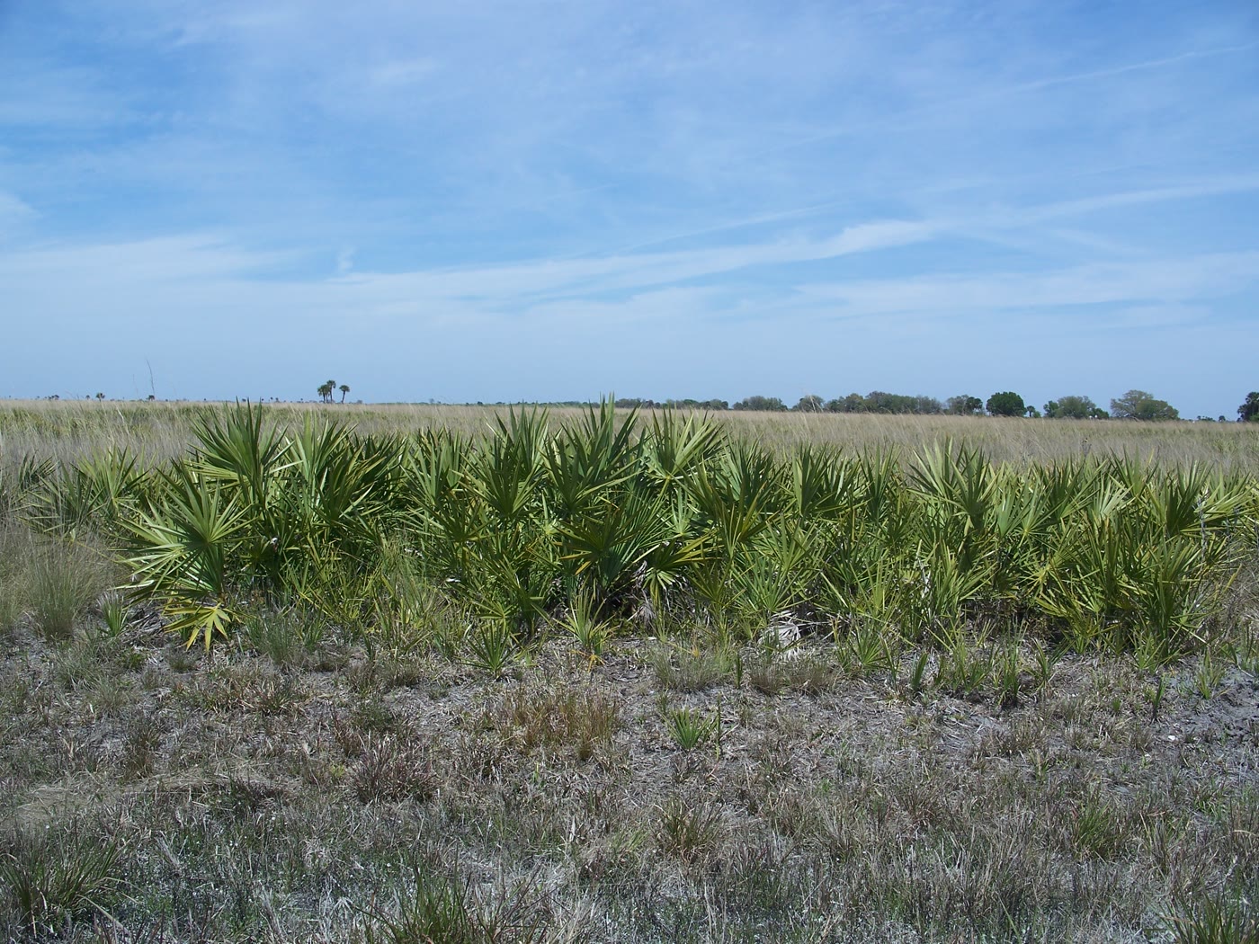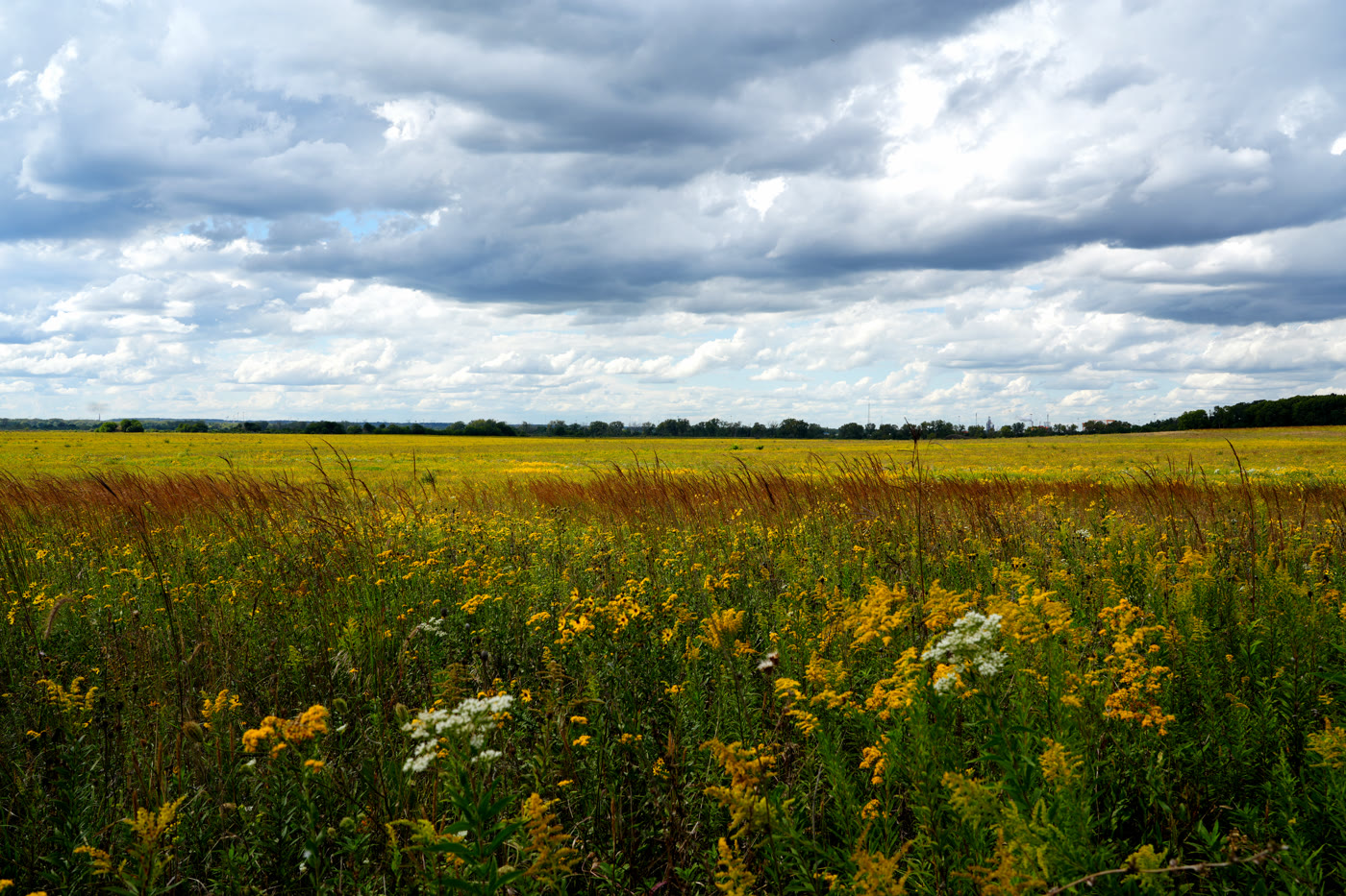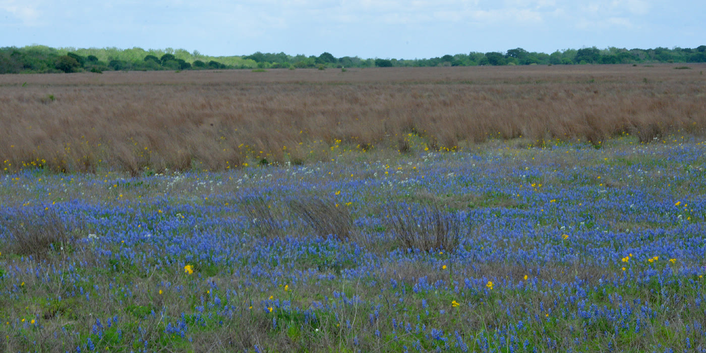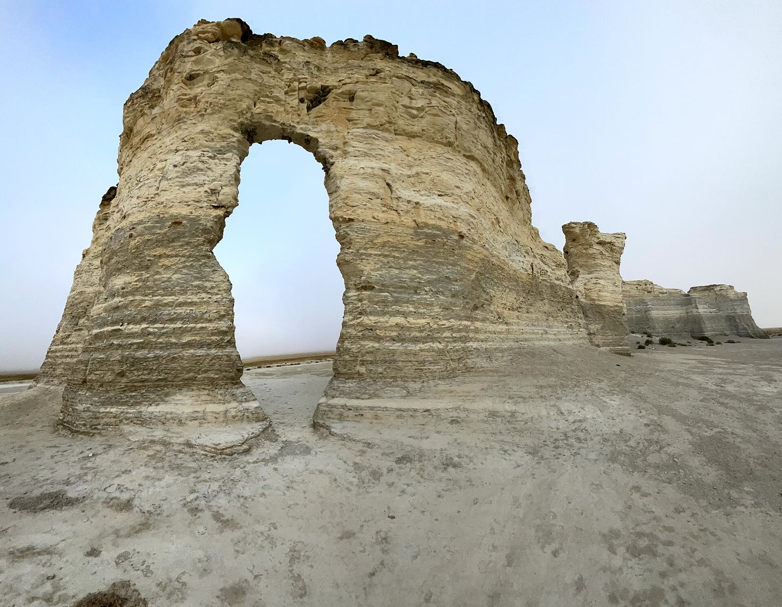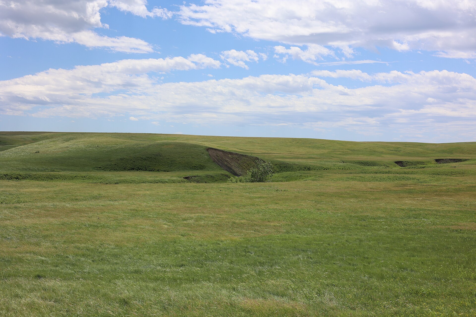
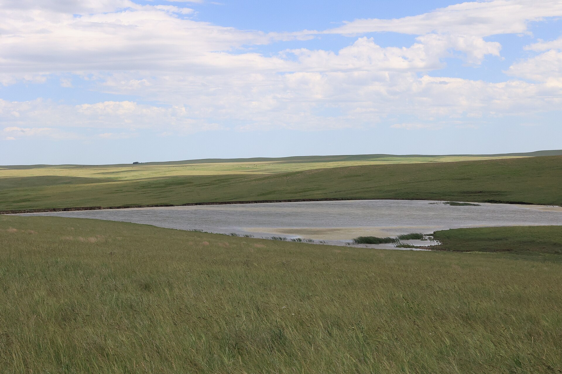
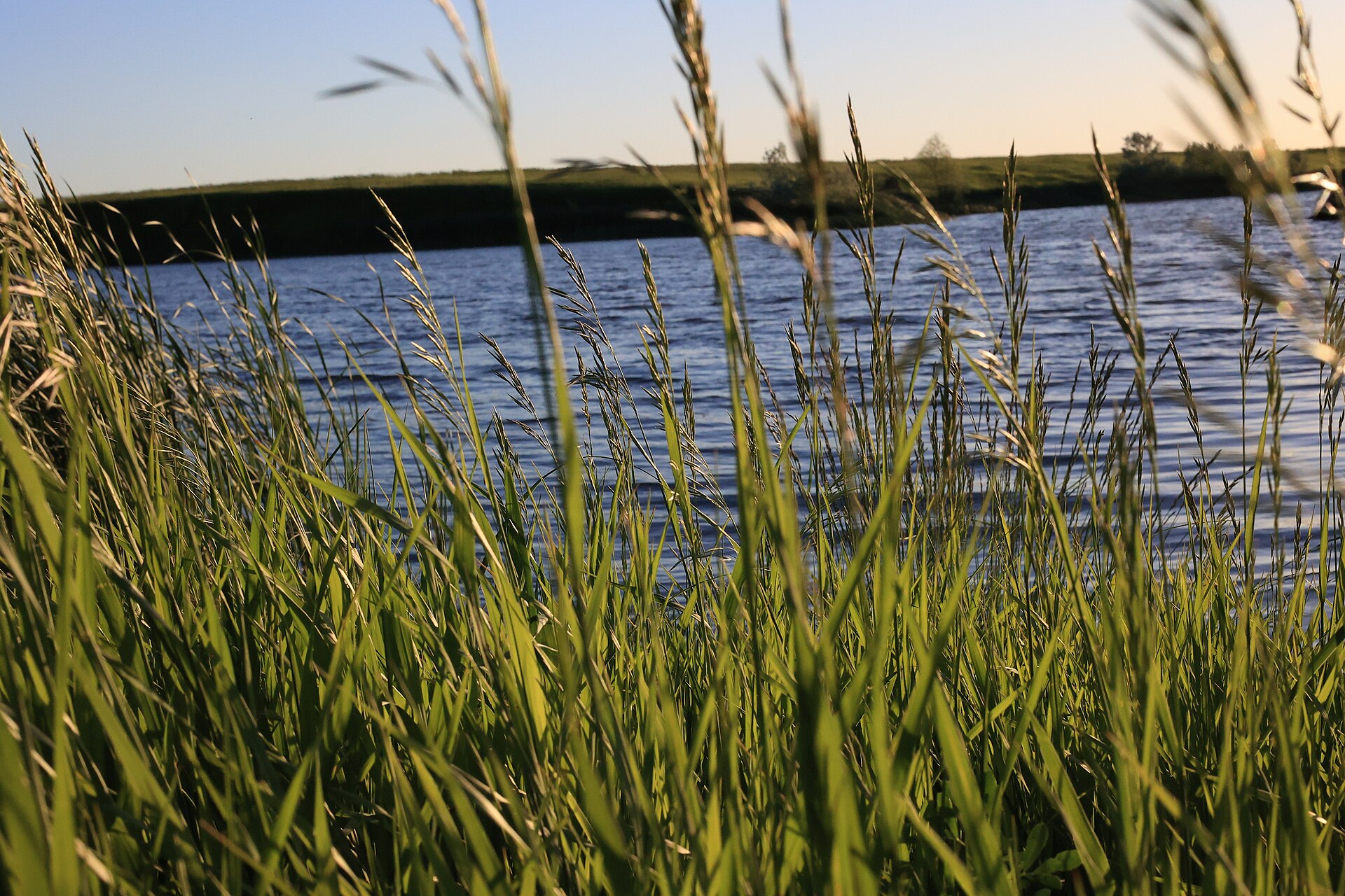
Fig. 1Rolling mixed-grass under a working sky, Fort Pierre National Grassland
Landform
A sea of mixed-grass on the Missouri breaks — rolling green, prairie ponds, and no badland wall to sell the view.
Field note
The hills roll without a famous name. Ponds sit in the swales. Fort Pierre is the nearest town. Late spring turns the grass emerald; autumn bleaches it gold. This plate is the USFS grassland, not Badlands National Park and not a wheat ranch.
Fort Pierre is mixed-grass on the Missouri breaks: rolling green, prairie ponds, and no park shuttle. Fort Pierre is the town. Late spring is emerald. This plate is the USFS grassland, not Badlands National Park.