State chapter
Wild places in Washington
Washington has 9 plates in this atlas, on hills, canyon, alpine, forest, and volcanic ground.
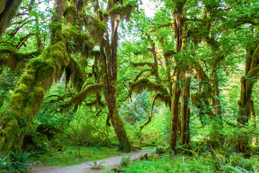
FrontispieceHoh Rain Forest, Washington
- Plates
- 9
- Terrains
- Hills, Canyon, Alpine, Forest, Volcanic
Washington
The plates
Plate XIIHoh Rain Forest
forestOlympic National Park, Washington
A green hush that never quite dries.
47.9° N · 123.9° WOpen plate →
 Plate XV
The Palouse
hillsWashington
A country of hills that look poured, not built.
46.7° N · 117.2° WOpen plate →
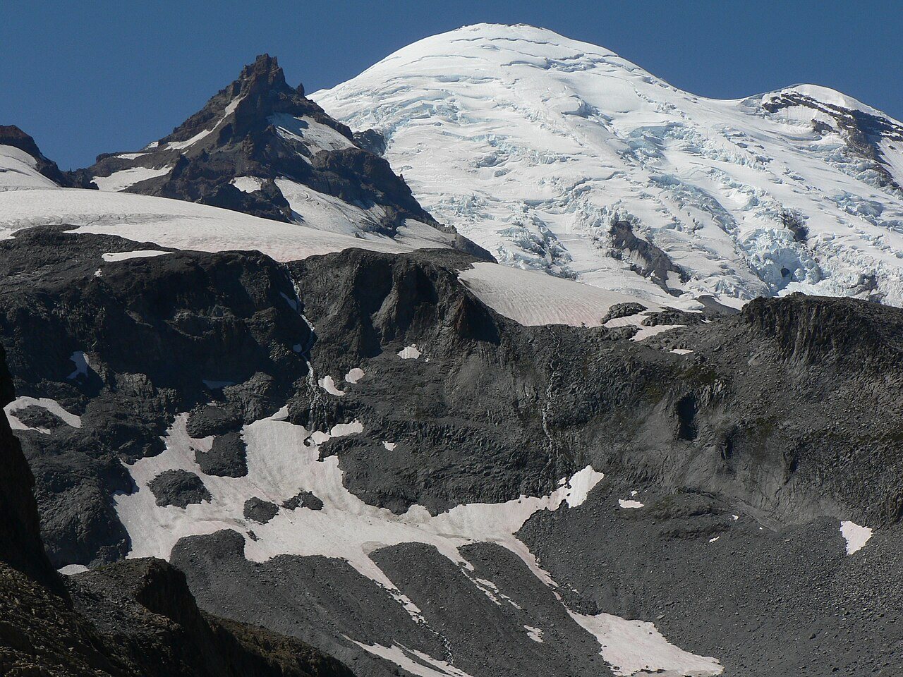 Plate XXXIX
Mount Rainier
volcanicCascade Range, Washington
A volcano wearing a meadow like a collar.
46.9° N · 121.8° WOpen plate →
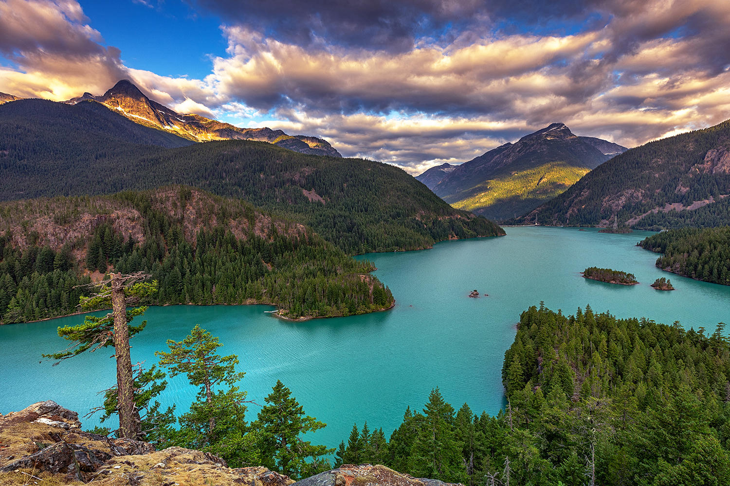 Plate XL
North Cascades
alpineSkagit country, Washington
The American Alps, still mostly empty of roads.
48.8° N · 121.3° WOpen plate →
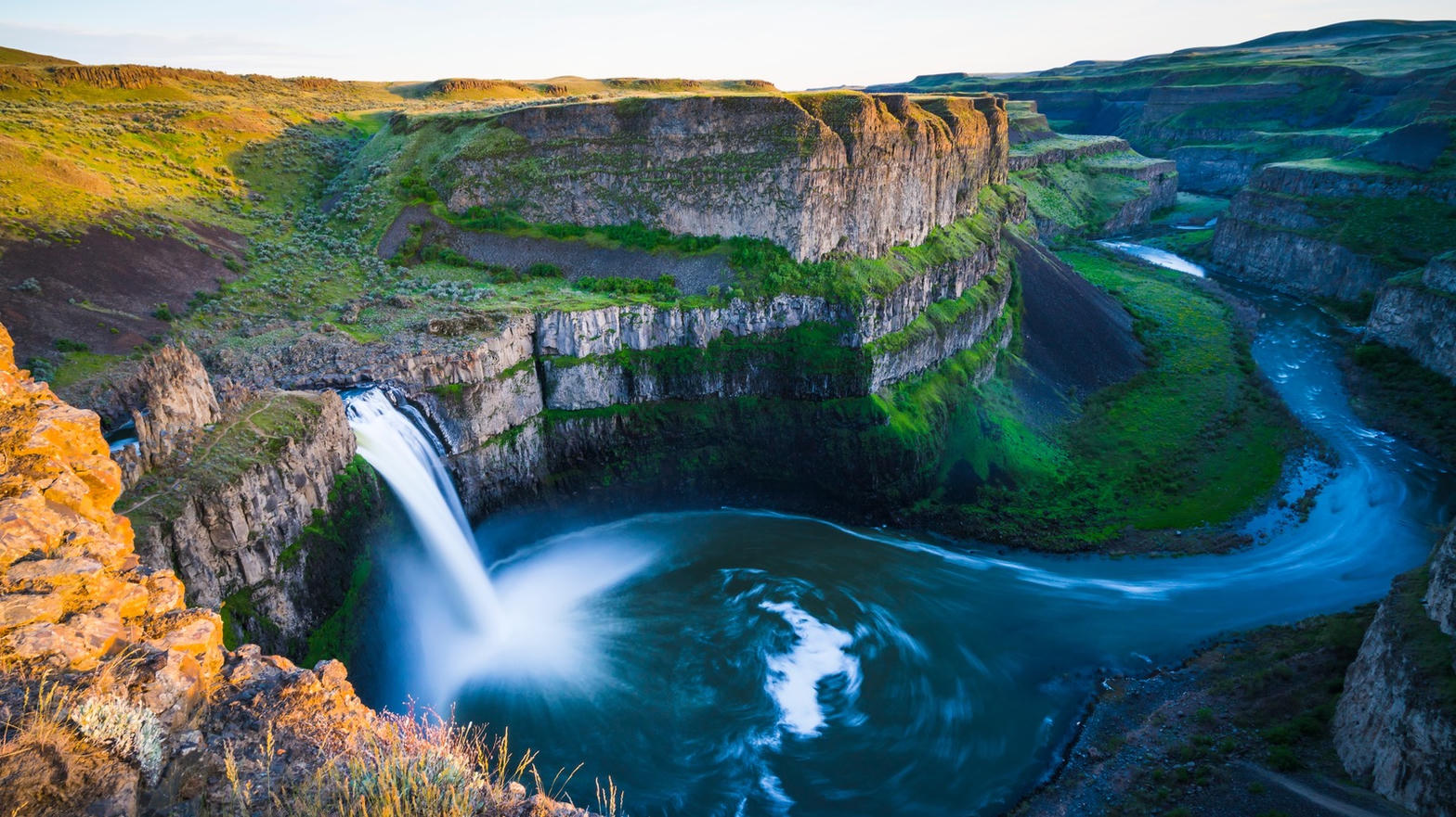 Plate LXX
Palouse Falls
canyonChanneled Scablands, Washington
A flood that ended twelve thousand years ago, still falling.
46.7° N · 118.2° WOpen plate →
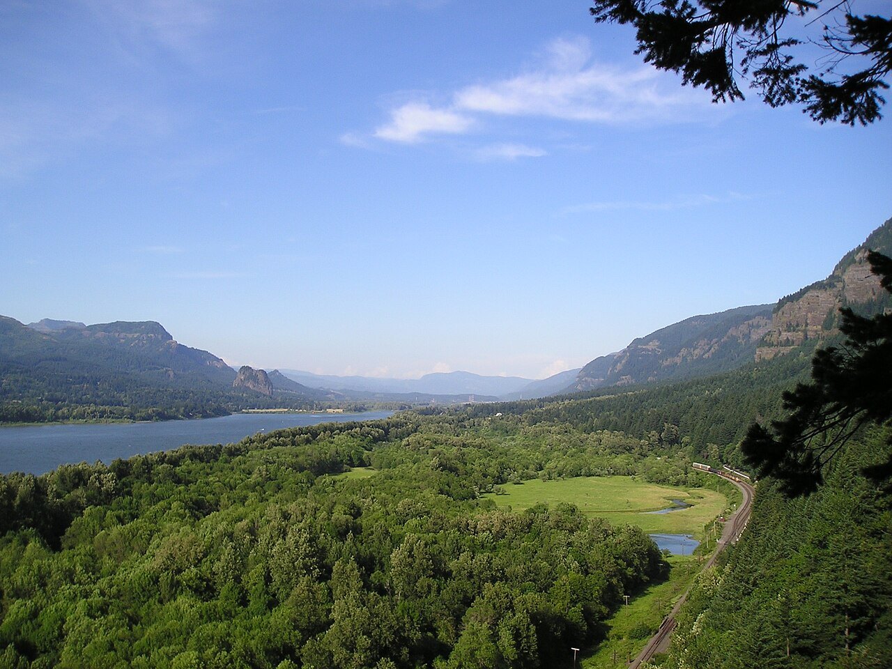 Plate CXLIV
Columbia Gorge
canyonColumbia River, Multnomah Falls to Rowena, Oregon / Washington
The river that opened the mountains to the sea.
45.6° N · 122.1° WOpen plate →
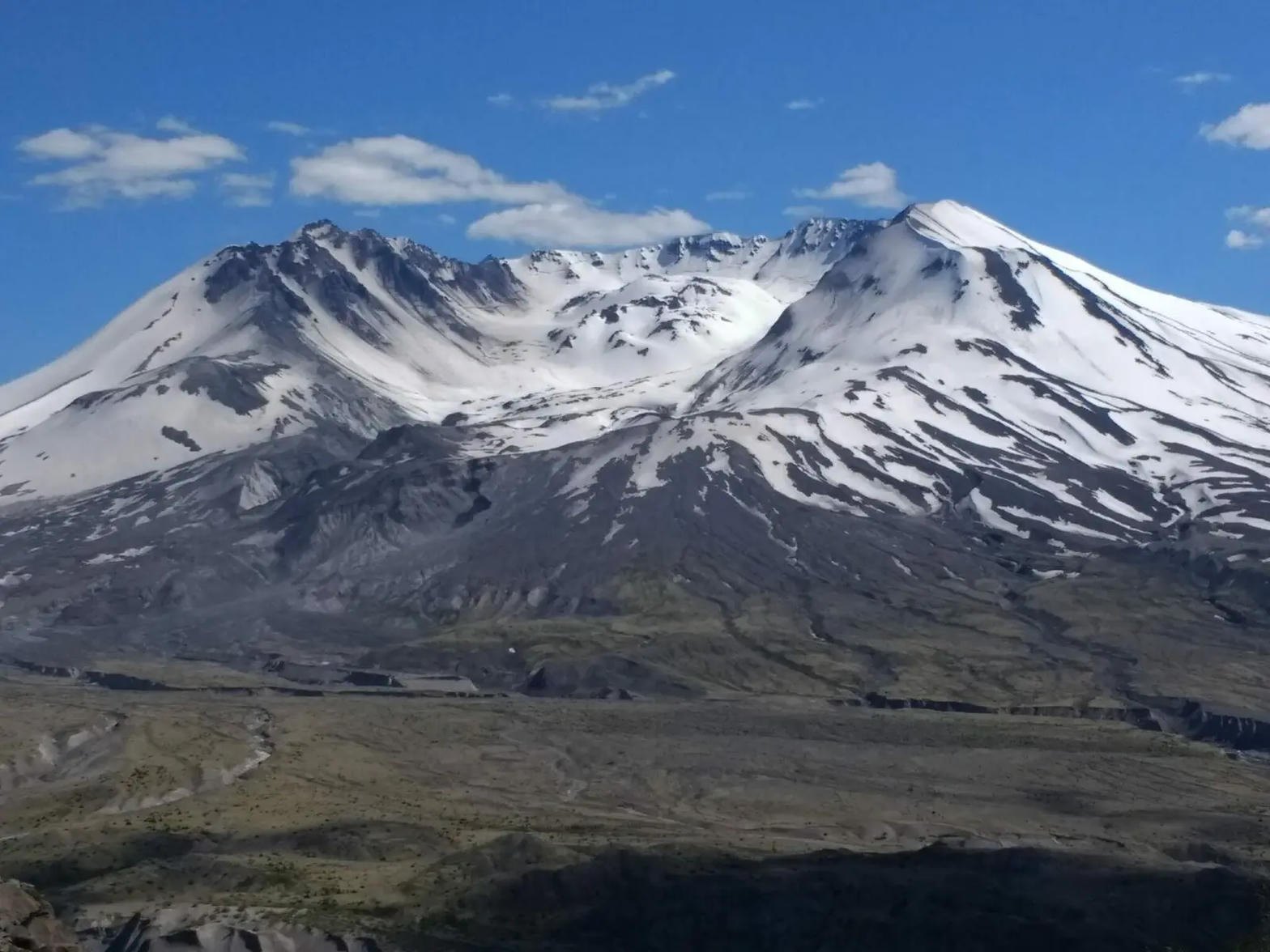 Plate CXLV
Mount St. Helens
volcanicJohnston Ridge, Gifford Pinchot, Washington
A mountain that took its own top off, and is still writing the sequel.
46.2° N · 122.2° WOpen plate →
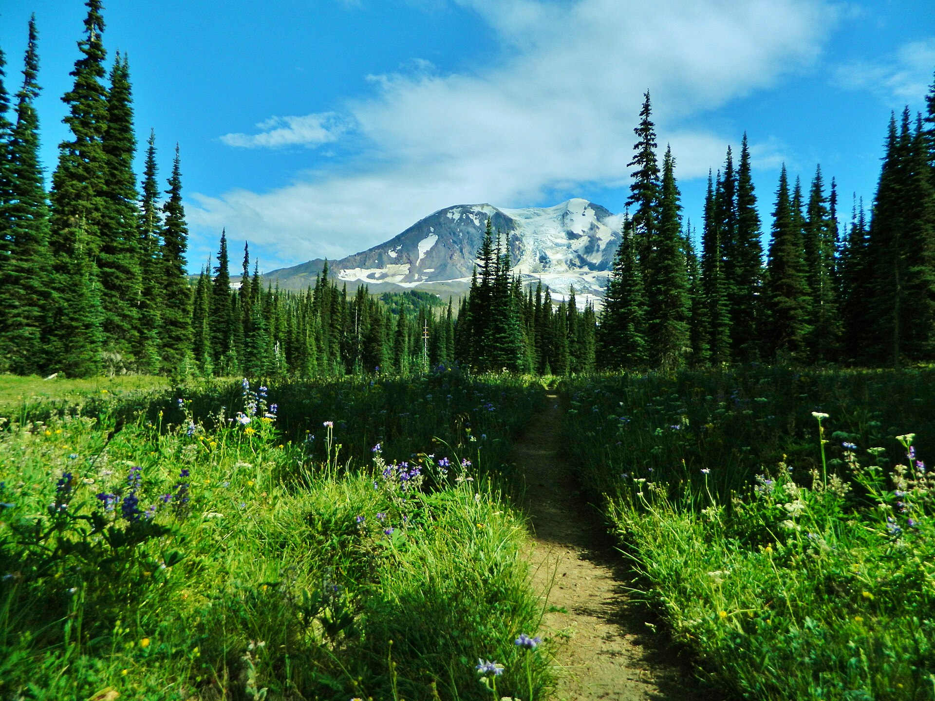 Plate CCCXIII
Mount Adams
volcanicMount Adams Wilderness, Gifford Pinchot NF, Washington
A white cone over Bird Creek Meadows.
46.2° N · 121.5° WOpen plate →
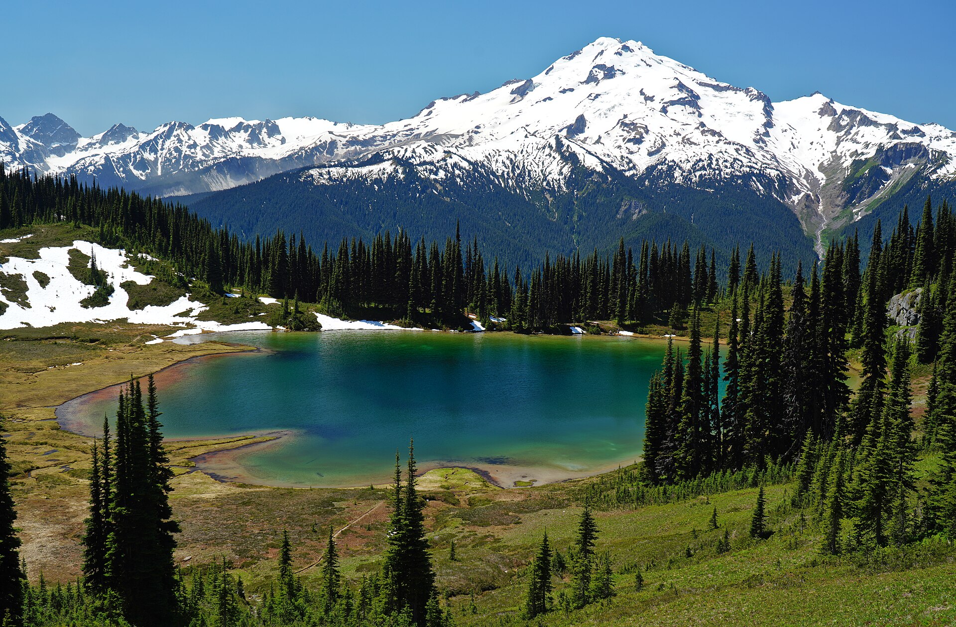 Plate CCCL
Image Lake
alpineMiners Ridge, Glacier Peak Wilderness, Washington
A tarn holding Glacier Peak.
48.2° N · 121.0° WOpen plate →