Landform
Miners Ridge water in the Glacier Peak Wilderness, far from a park road
Field note
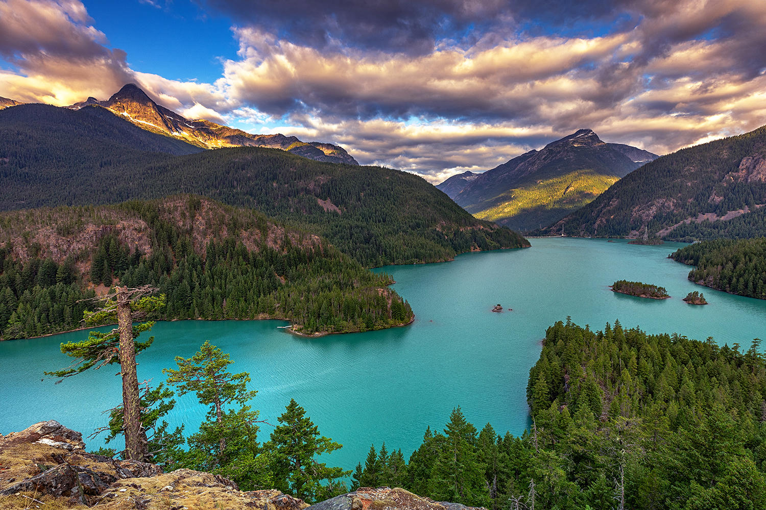
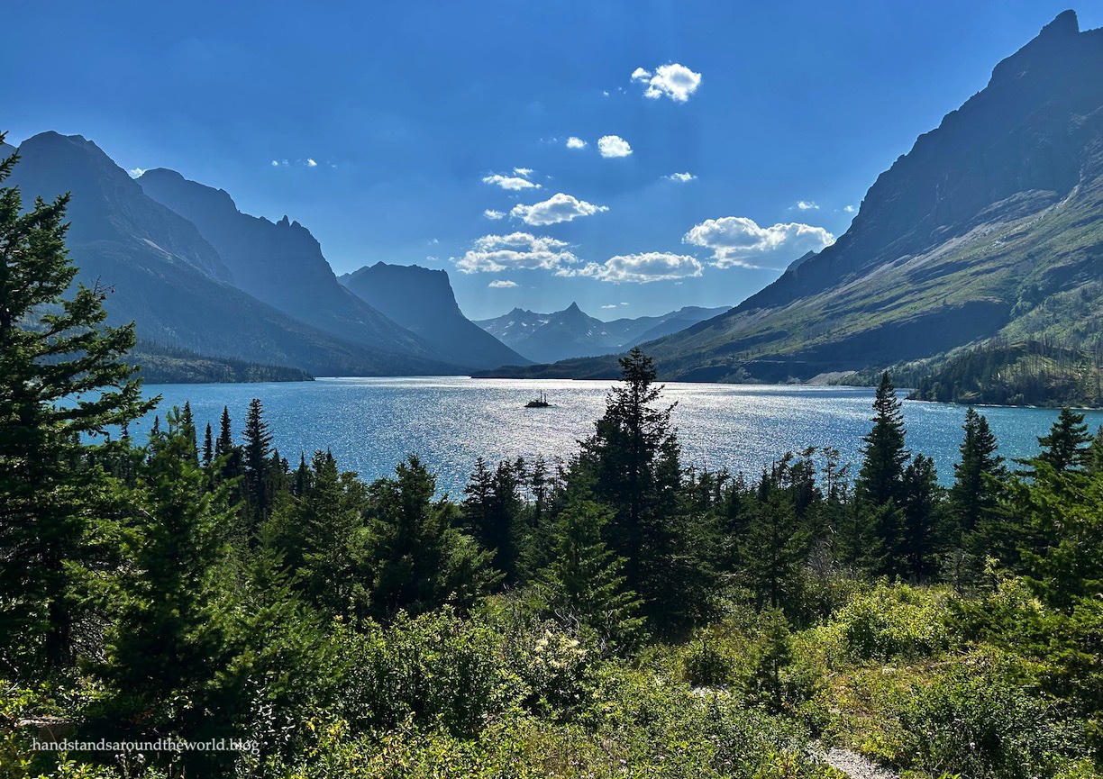
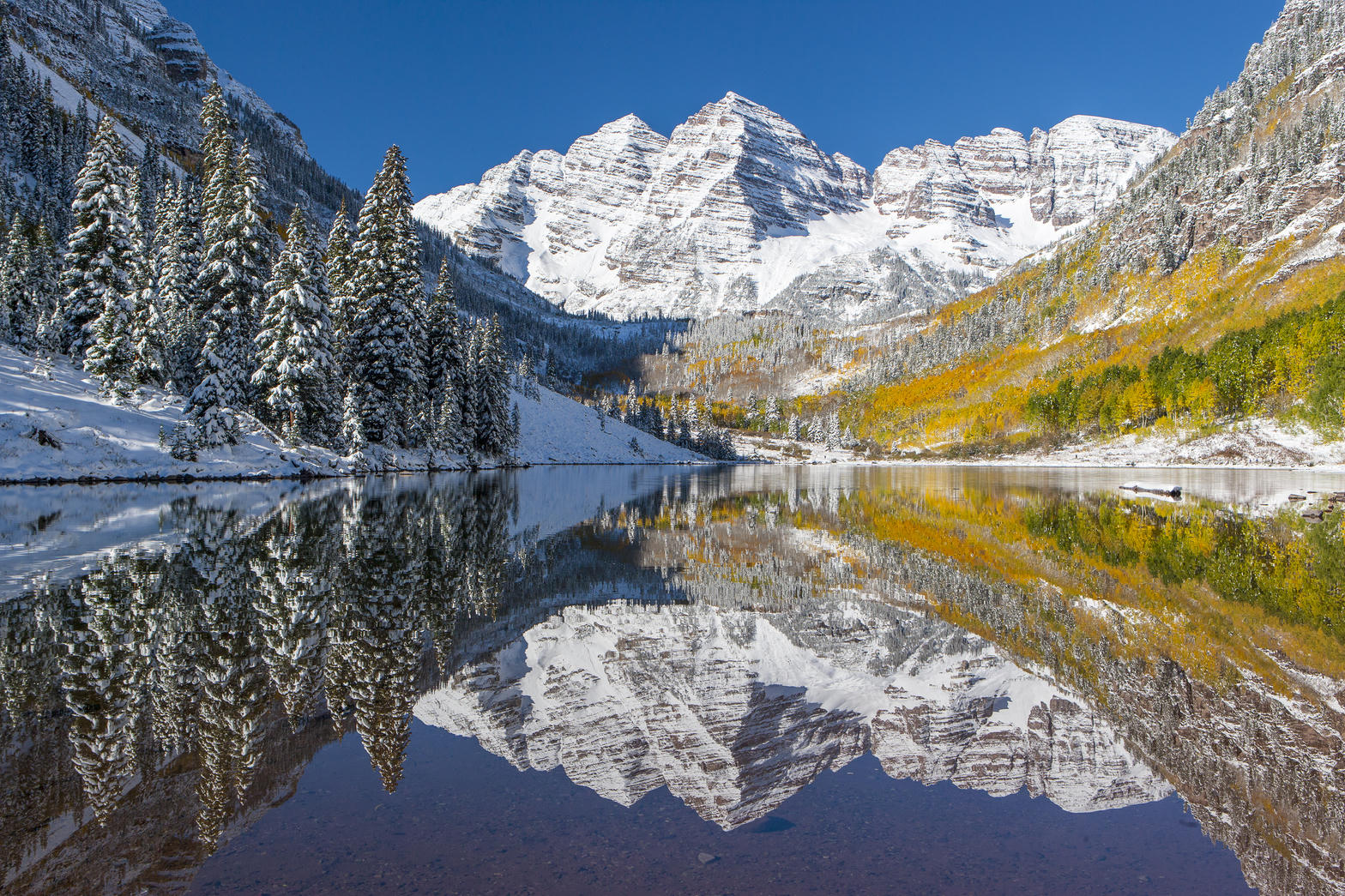
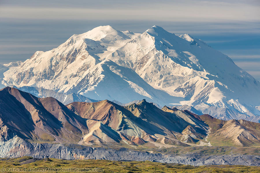
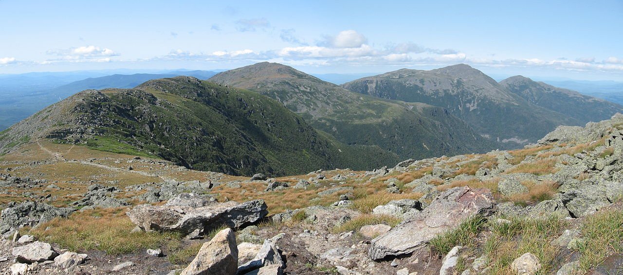
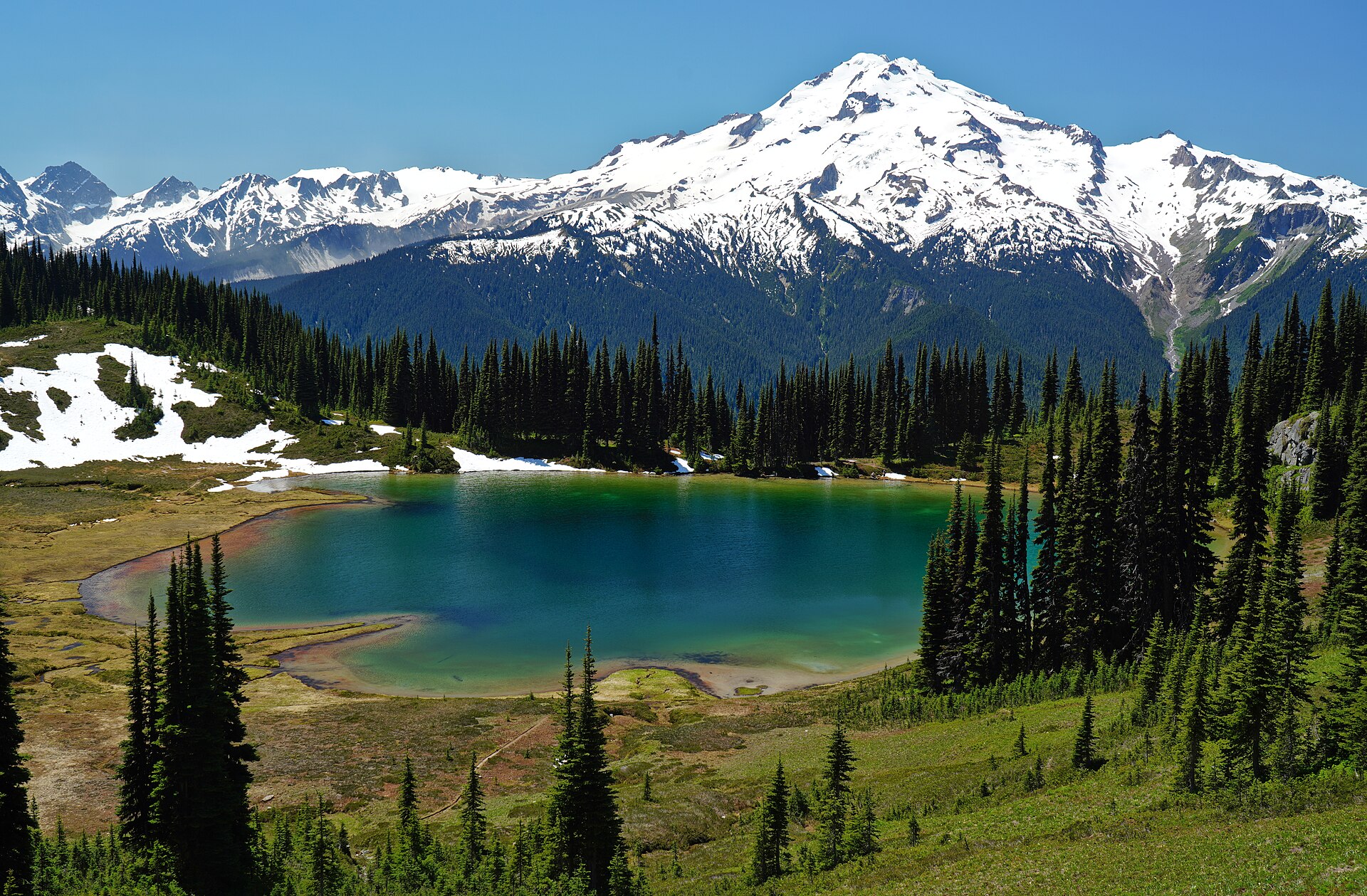
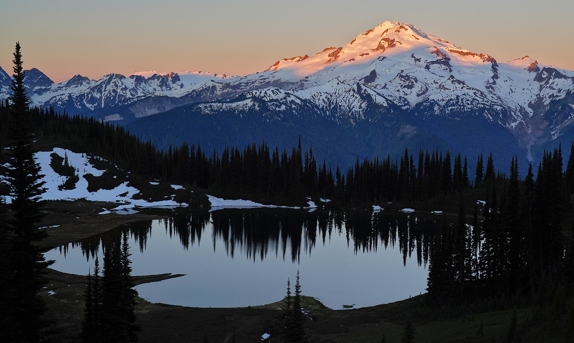
The Forest Service puts Image Lake at 6,050 feet on Miners Ridge, a 3.8-acre tarn in the Glacier Peak Wilderness of Mount Baker-Snoqualmie National Forest. The walk comes in from the Suiattle River. Camping is kept out of the basin, and fires are banned. North Cascades National Park is the range to the north. Rainier is a different mountain. This plate is Image Lake.
Image Lake is the Miners Ridge tarn in the Glacier Peak Wilderness, reached from the Suiattle. Glacier Peak stands in the water. The Forest Service keeps camps out of the basin. This plate is that lake, not Rainier and not North Cascades National Park.