State chapter
Wild places in West Virginia
West Virginia has 5 plates in this atlas, on hills, canyon, forest, and wetland ground.
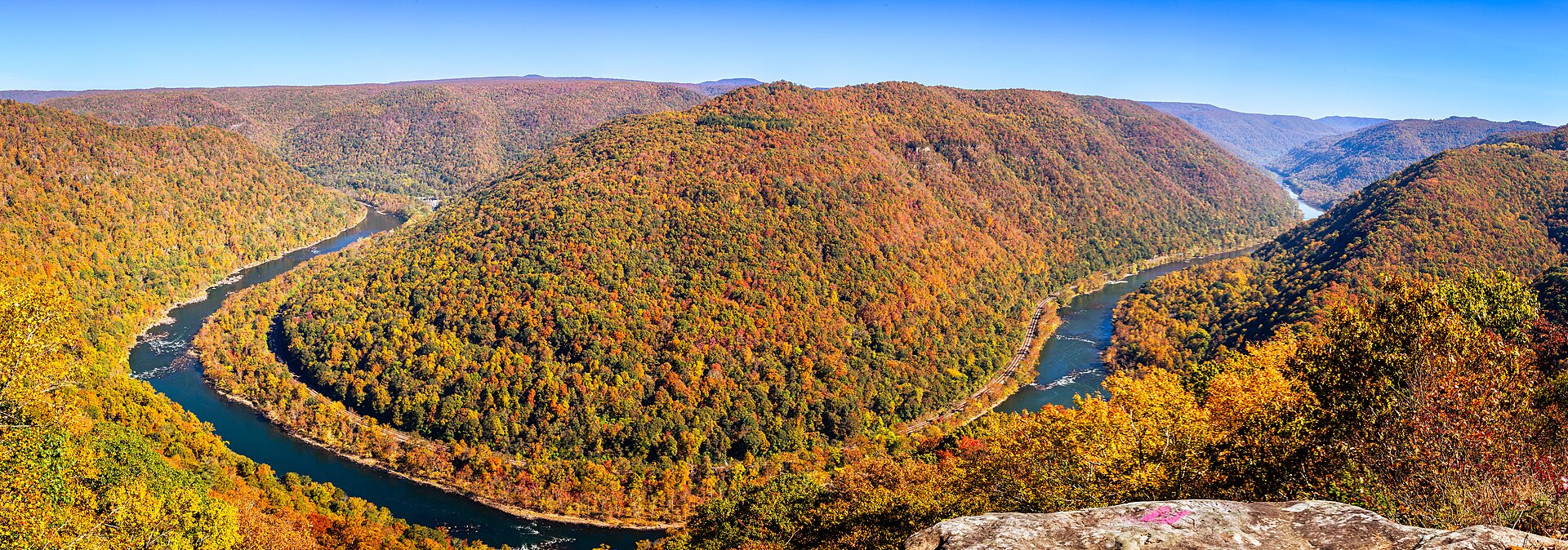
FrontispieceNew River Gorge, West Virginia
- Plates
- 5
- Terrains
- Hills, Canyon, Forest, Wetland
West Virginia
The plates
Plate LNew River Gorge
canyonAppalachian Plateau, near Fayetteville, West Virginia
An old river in a young park, under a high thin bridge.
38.1° N · 81.1° WOpen plate →
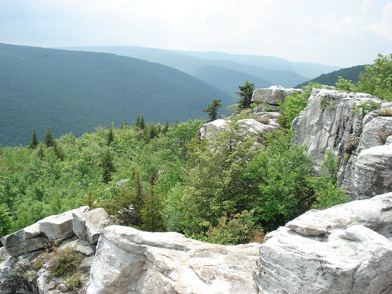 Plate LXXV
Dolly Sods
hillsAllegheny Plateau, West Virginia
A northern bog set down on a southern mountain.
39.0° N · 79.4° WOpen plate →
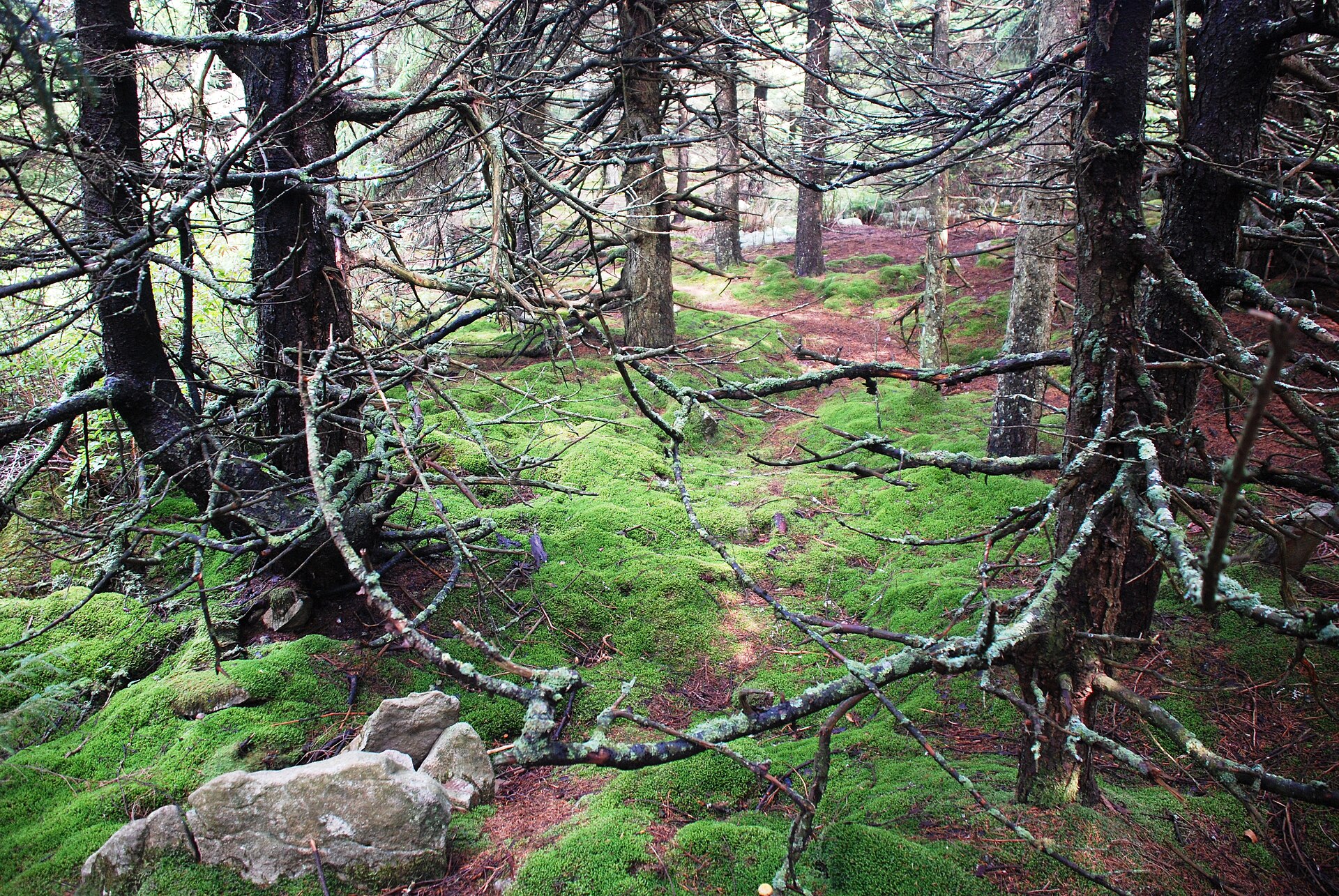 Plate CCLXXXIX
Spruce Knob
hillsMonongahela NF, Pendleton County, West Virginia
A spruce heath the East still keeps high.
38.7° N · 79.5° WOpen plate →
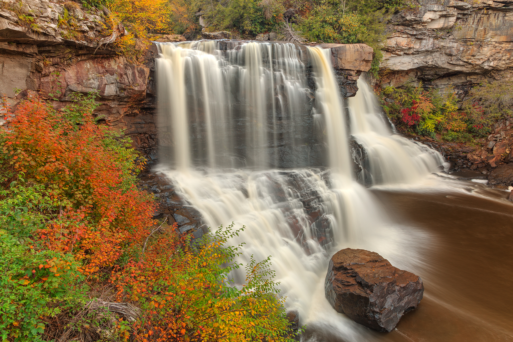 Plate CCCXIV
Blackwater Falls
forestBlackwater Falls State Park, Canaan Valley, West Virginia
Amber water over a Blackwater ledge in October.
39.1° N · 79.5° WOpen plate →
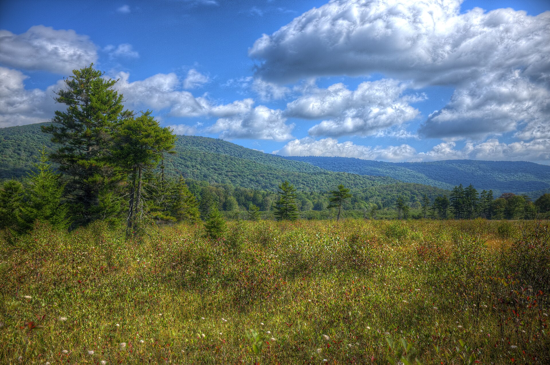 Plate CCCLII
Cranberry Glades
wetlandMonongahela National Forest, Pocahontas County, West Virginia
A northern bog on southern mountains.
38.2° N · 80.3° WOpen plate →