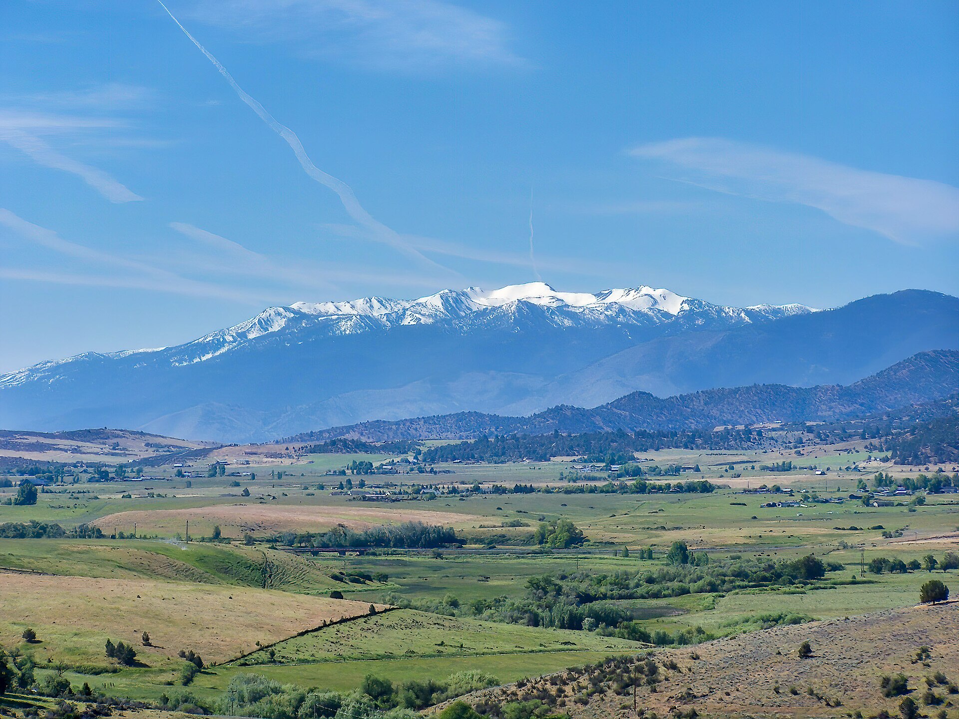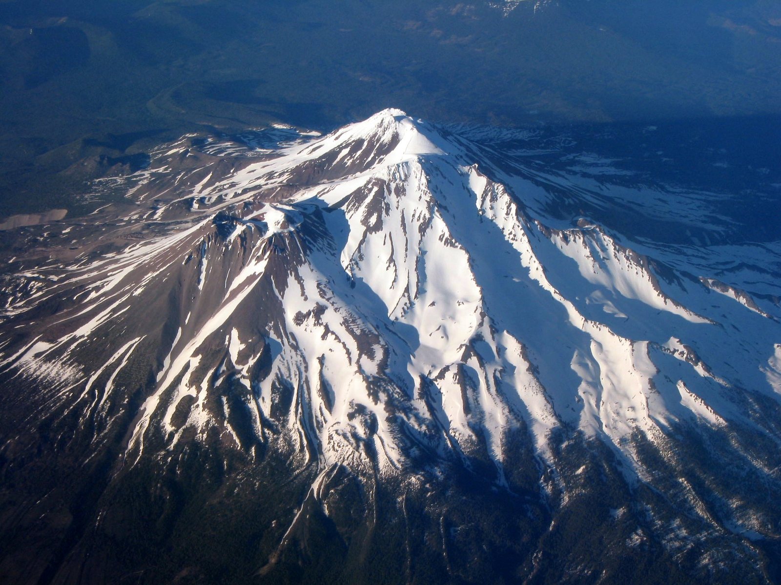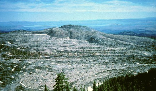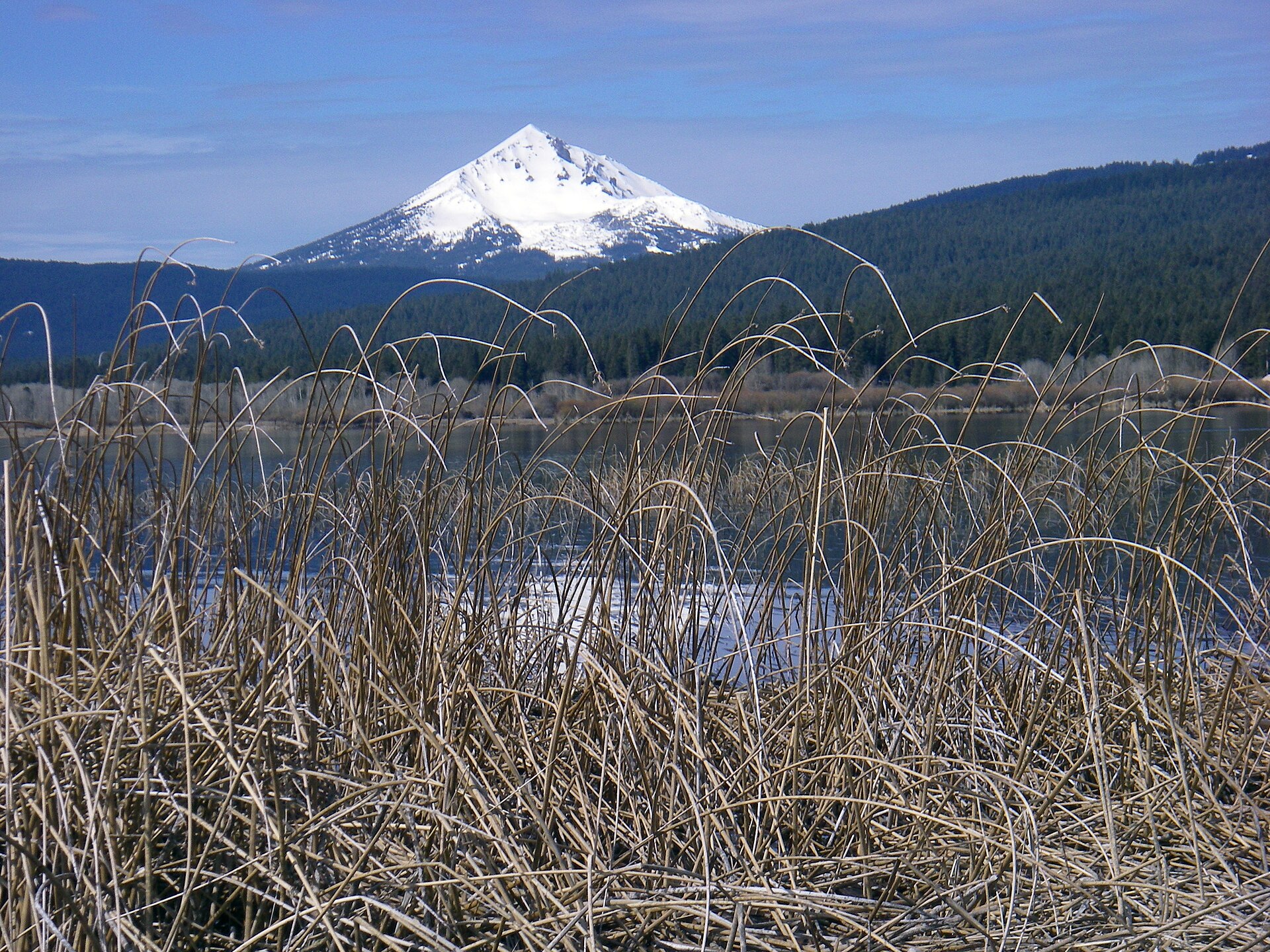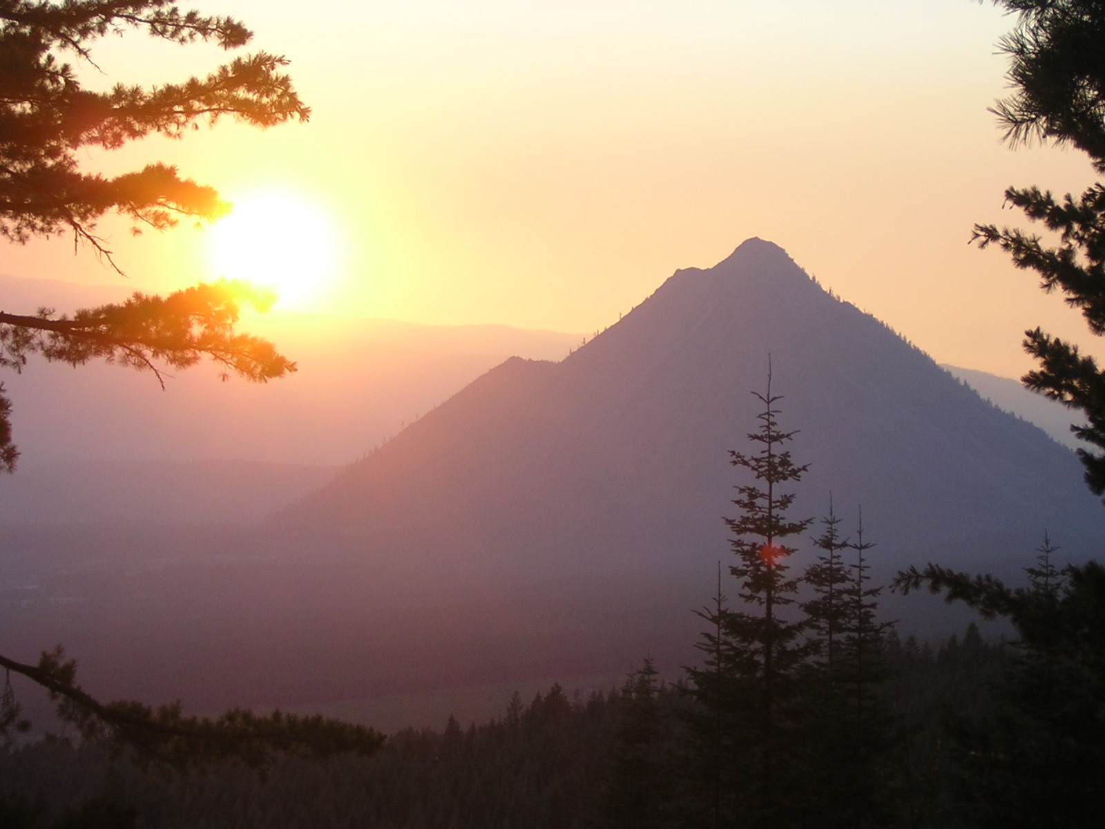
Fig. 1Sunset on Black Butte near Mount Shasta, California
Photo: KyleAndMelissa22 ( talk ) ( Uploads ) · Public domain
Landform
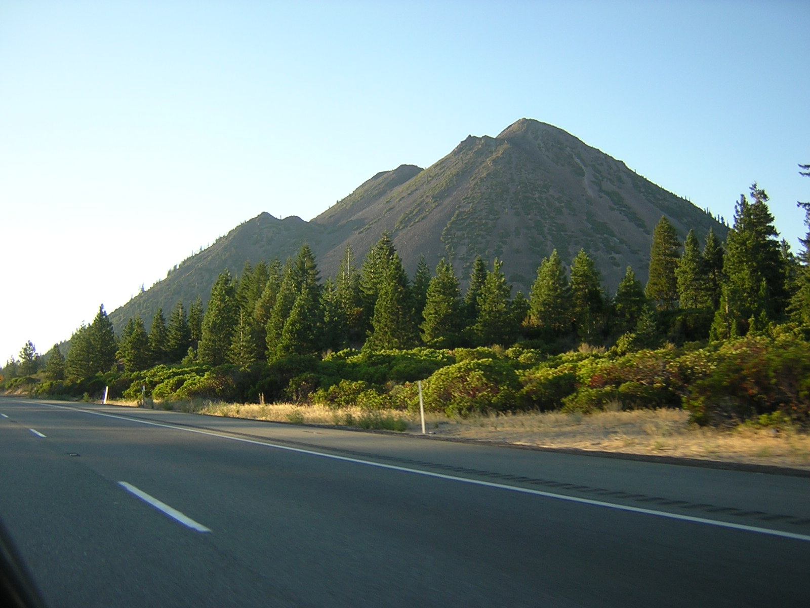
A steep Cascade cinder cone standing off Shasta’s west shoulder — black slopes, a pointed summit, and a quieter neighbor the big plate does not keep.
Field note
From the meadows the butte is a single black pyramid. Weed and Mount Shasta are the towns. This plate is Black Butte in Siskiyou County — the Cascade cone beside Shasta — not Shasta itself, not Oregon’s Sisters-country Black Butte, and not a desert mesa.
Black Butte is the steep Cascade cinder cone west of Weed, standing off Shasta’s shoulder. A pointed summit, black slopes, a lot of quiet road. This plate is the Siskiyou County cone, not Mount Shasta and not Oregon’s Sisters-country Black Butte.