The Field Atlas
0/363Fire country
Volcanic destinations in the USA
Volcanic landscapes run from Hawaiian shield slopes to Cascade cones and high desert craters.
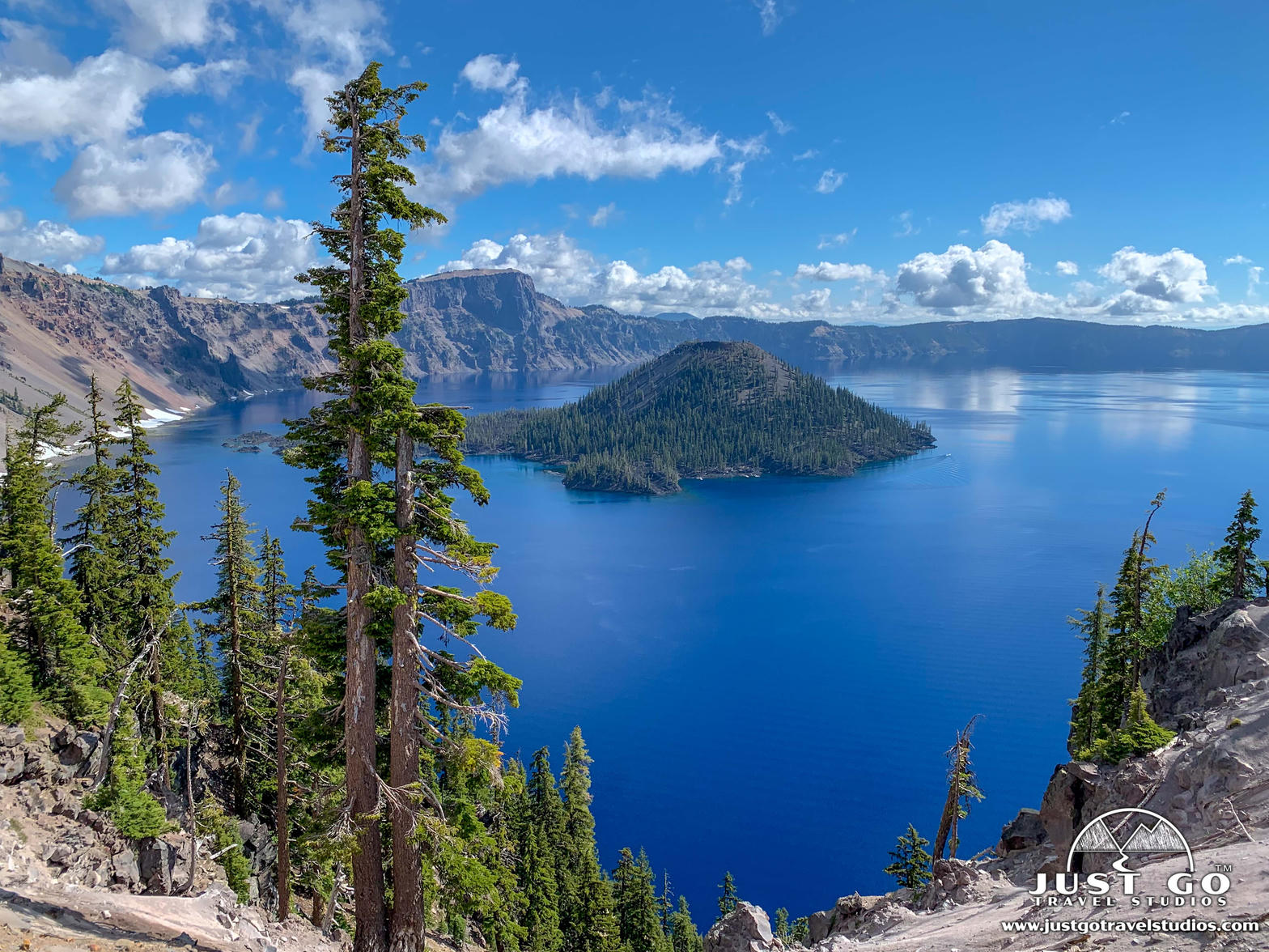
FrontispieceCrater Lake, Oregon
These plates map fire country as landform: lava, calderas, cinder, and the smell of sulfur after rain — not only the park name on the sign.
- Plates
- 35
- States
- 9
States in this chapter
- Arizona
- California
- Colorado
- Hawaii
- Idaho
- New Mexico
- Oregon
- Washington
- Wyoming
Volcanic chapter
The plates
Plate XIIICrater Lake
volcanicCascade Range, Oregon
A mountain that became a bowl of impossible blue.
42.9° N · 122.1° WOpen plate →
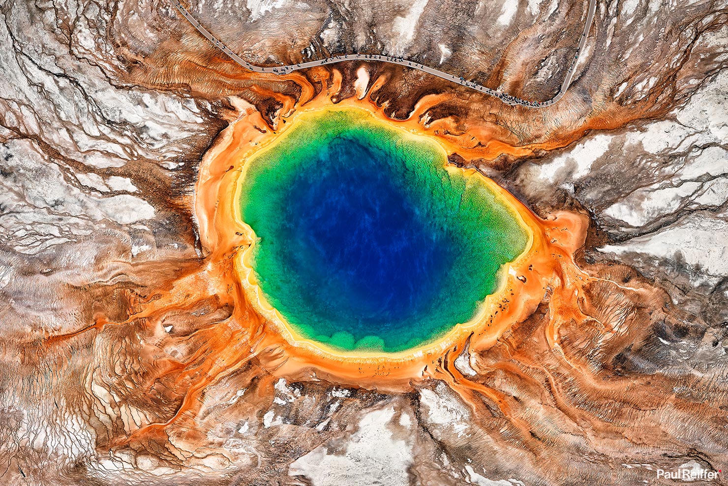 Plate XVI
Yellowstone
volcanicYellowstone Caldera, Wyoming
The ground here is still being written by fire.
44.4° N · 110.6° WOpen plate →
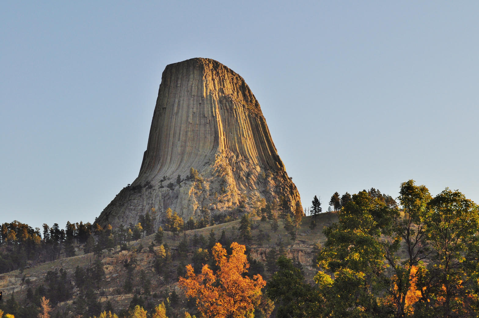 Plate XXXVII
Devils Tower
volcanicBear Lodge Mountains, Black Hills, Wyoming
A single stone column standing in a sea of prairie.
44.6° N · 104.7° WOpen plate →
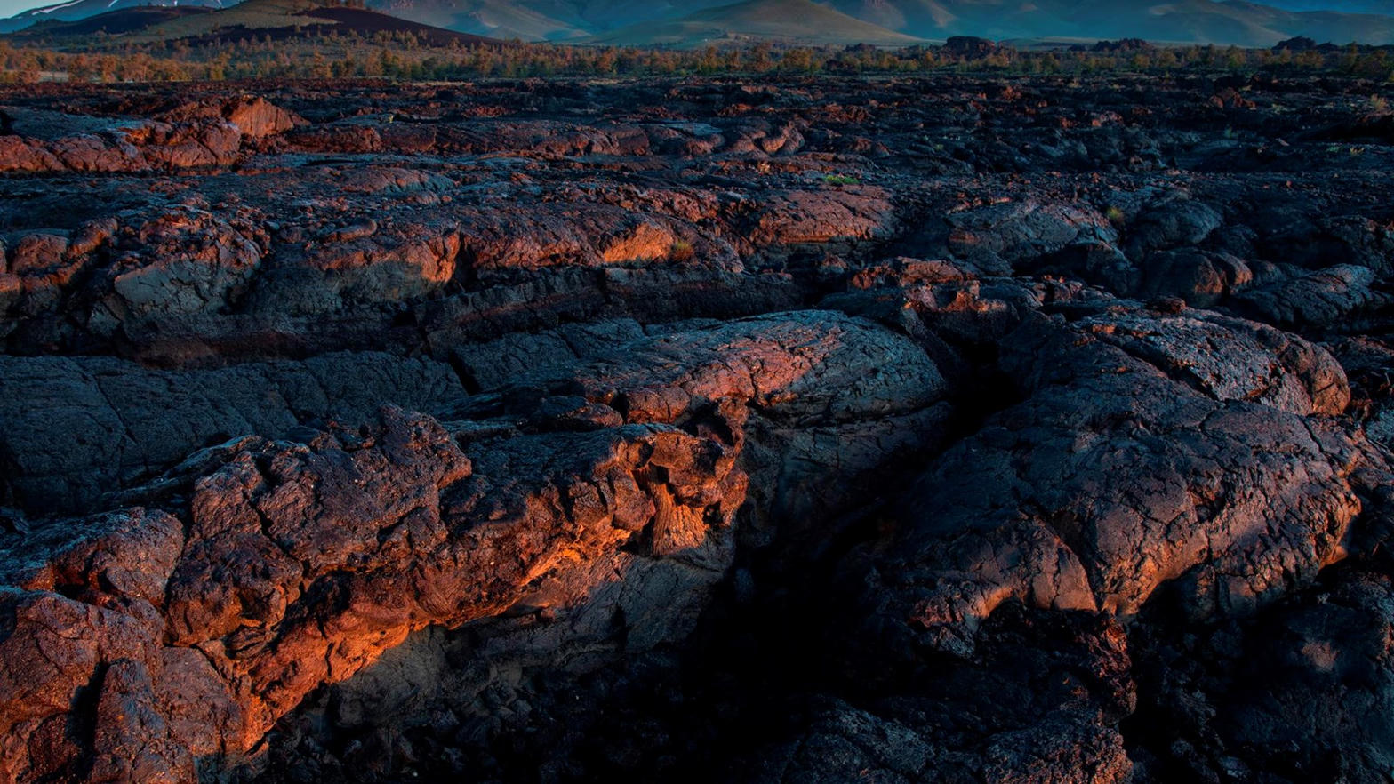 Plate XXXVIII
Craters of the Moon
volcanicSnake River Plain, Idaho
A rehearsal for another planet, left in Idaho.
43.4° N · 113.5° WOpen plate →
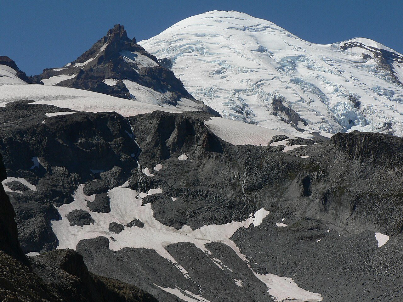 Plate XXXIX
Mount Rainier
volcanicCascade Range, Washington
A volcano wearing a meadow like a collar.
46.9° N · 121.8° WOpen plate →
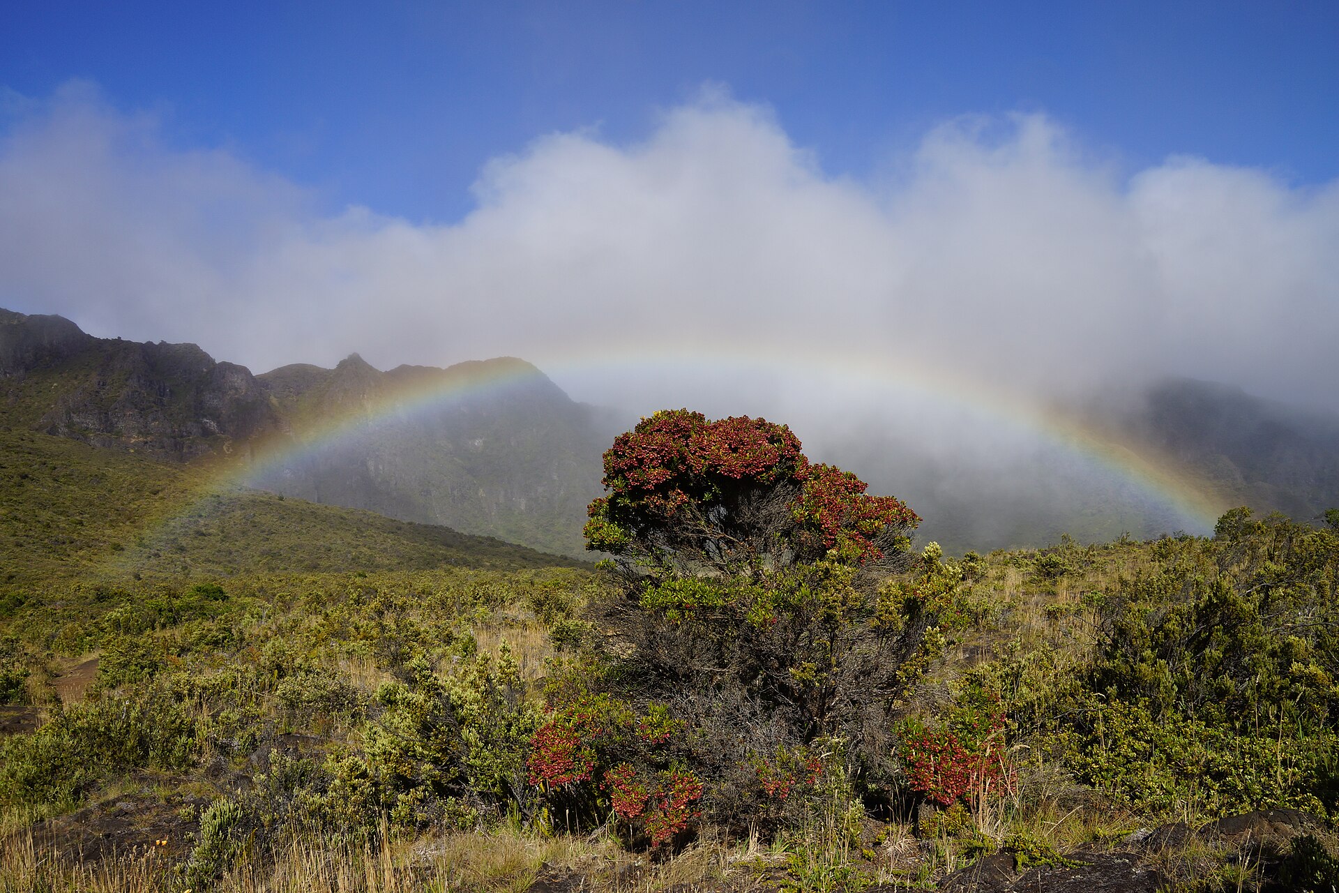 Plate XLIV
Haleakalā
volcanicEast Maui Volcano, Hawaii
A mountain that holds the sunrise in a bowl of ash.
20.7° N · 156.3° WOpen plate →
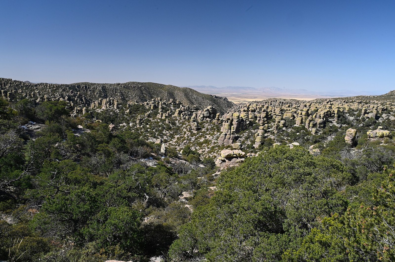 Plate LXIII
Chiricahua
volcanicChiricahua Mountains, Sky Island, Arizona
A mountain that exploded, then learned to balance.
32.0° N · 109.4° WOpen plate →
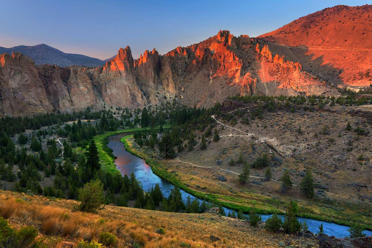 Plate LXIX
Smith Rock
volcanicCrooked River, near Terrebonne, Oregon
A red wall the river decided to keep circling.
44.4° N · 121.1° WOpen plate →
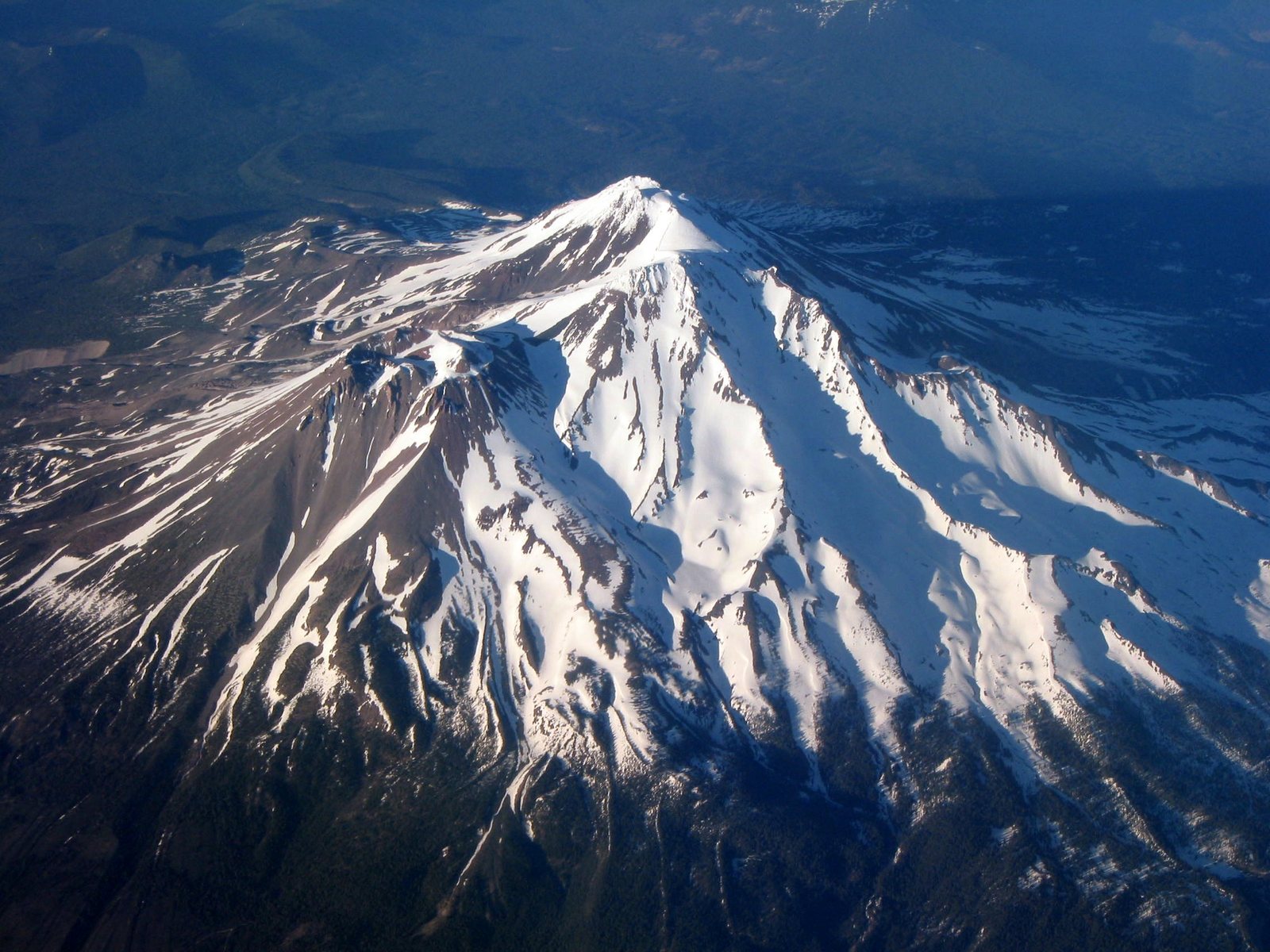 Plate LXXXVII
Mount Shasta
volcanicShasta-Trinity National Forest, California
A mountain that stands alone and makes a sky to match.
41.4° N · 122.2° WOpen plate →
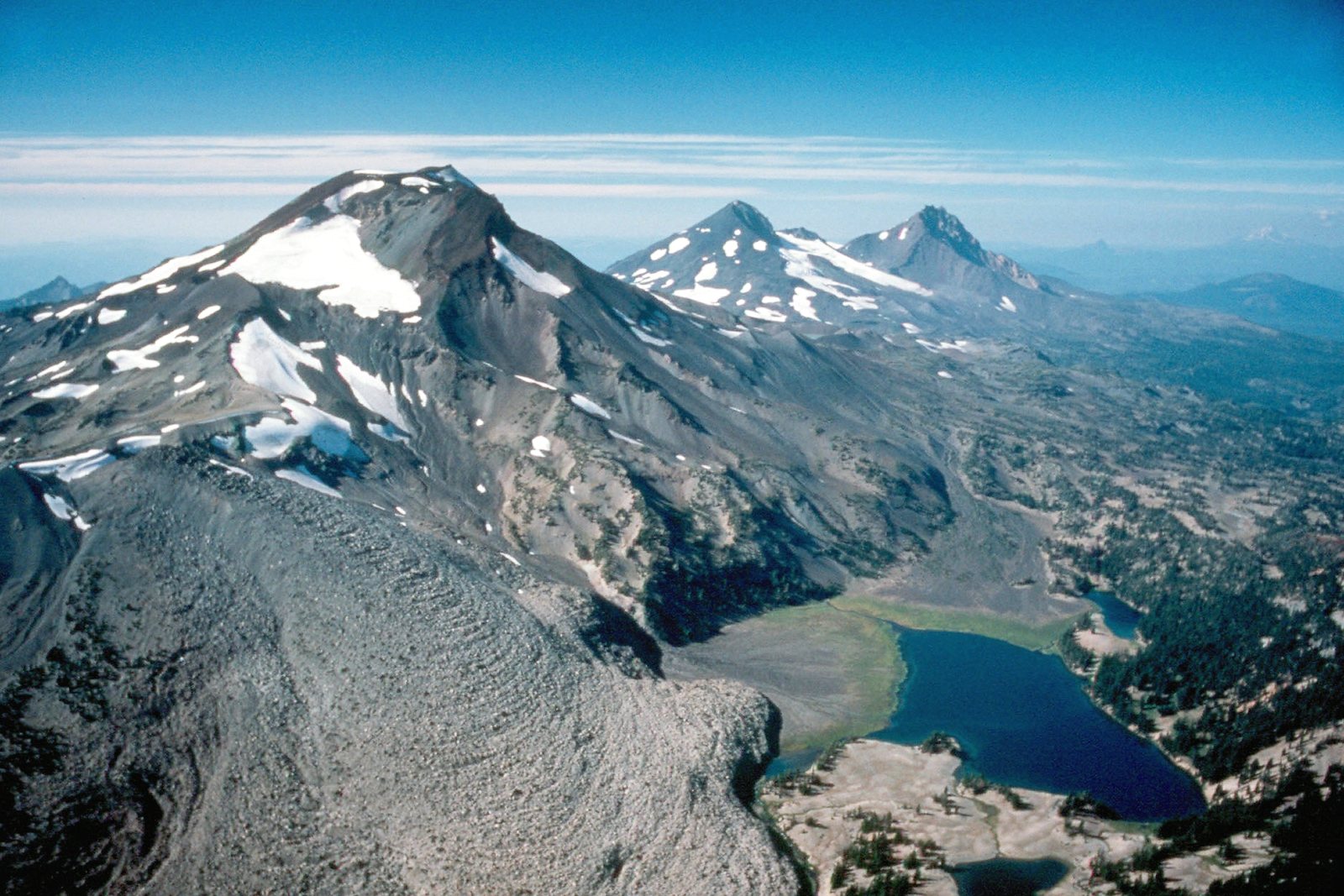 Plate XC
Three Sisters
volcanicWillamette & Deschutes National Forests, Oregon
Three volcanoes standing like siblings over a fir sea.
44.1° N · 121.8° WOpen plate →
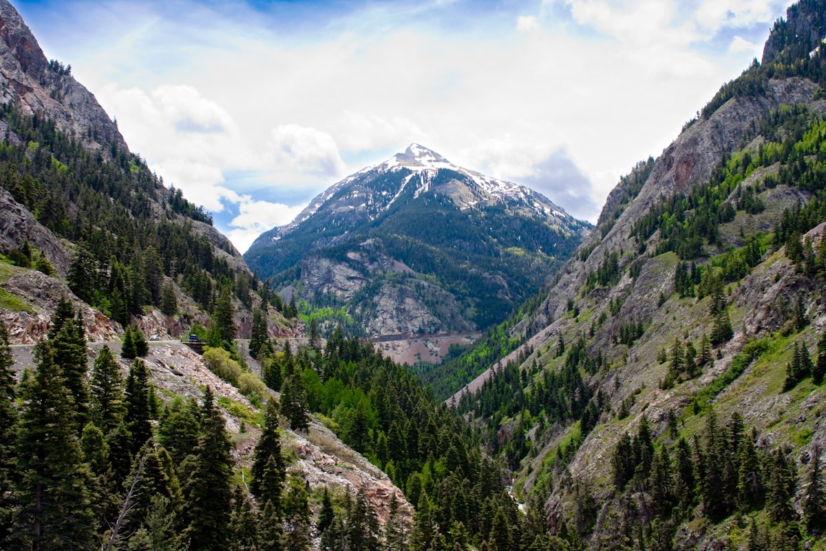 Plate CII
Red Mountain Pass
volcanicMillion Dollar Highway, San Juan Mountains, Colorado
Mountains that rusted in place.
37.9° N · 107.7° WOpen plate →
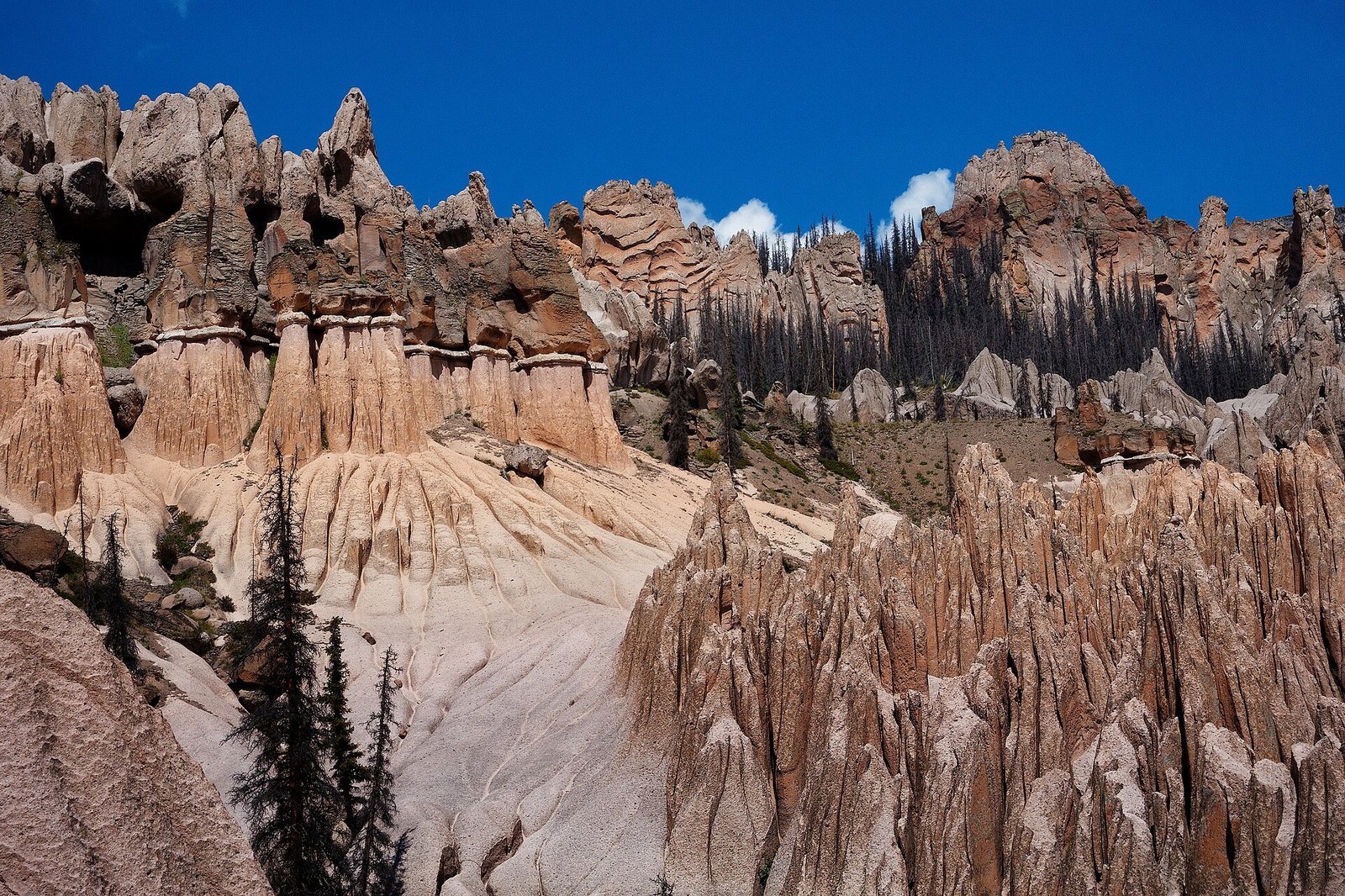 Plate CIV
Wheeler Geologic Area
volcanicLa Garita Wilderness, Colorado
A town the volcano built and the weather unbuilt.
37.9° N · 106.6° WOpen plate →
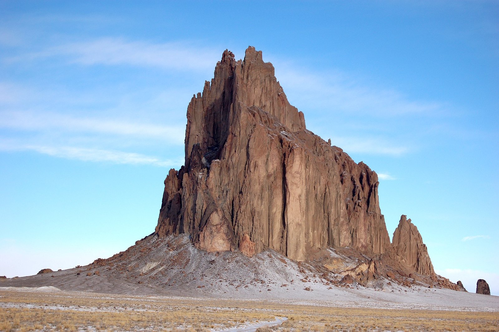 Plate CXI
Shiprock
volcanicNavajo Nation, San Juan County, New Mexico
A ship of stone, and a spine of dike.
36.7° N · 108.8° WOpen plate →
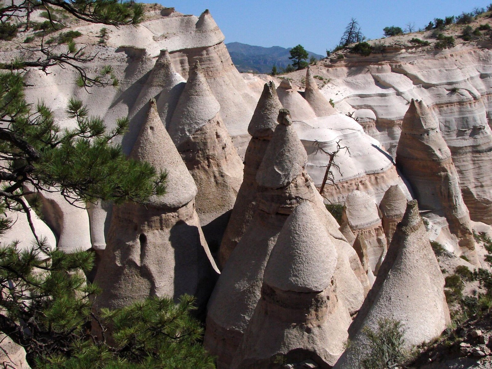 Plate CXIII
Kasha-Katuwe Tent Rocks
volcanicJemez volcanic field, near Cochiti, New Mexico
A canyon of tents the volcano pitched and left.
35.7° N · 106.4° WOpen plate →
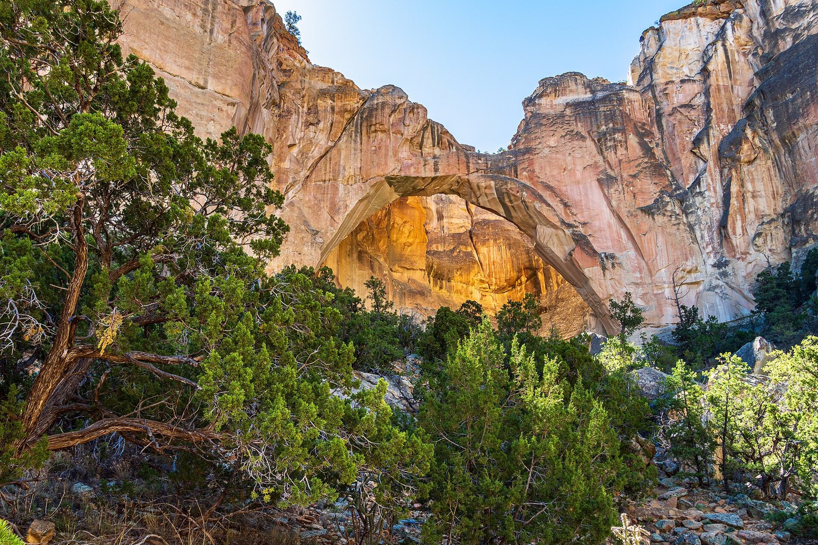 Plate CXVII
La Ventana
volcanicEl Malpais National Monument, New Mexico
A window the lava never reached.
35.0° N · 107.9° WOpen plate →
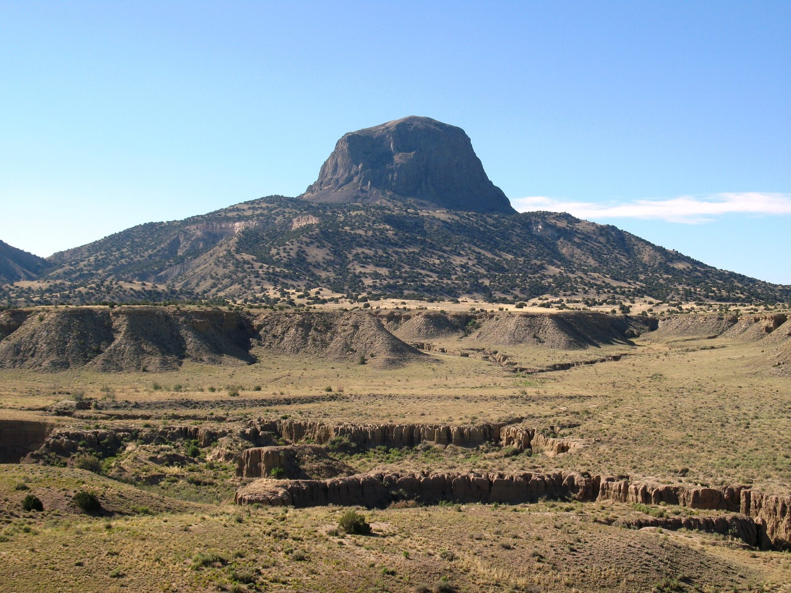 Plate CXVIII
Cabezon Peak
volcanicRio Puerco Valley, New Mexico
A mountain that is only the throat of one.
35.6° N · 107.1° WOpen plate →
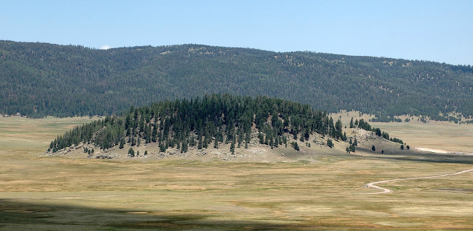 Plate CXIX
Valles Caldera
volcanicJemez Mountains, New Mexico
A mountain that became a meadow.
35.9° N · 106.5° WOpen plate →
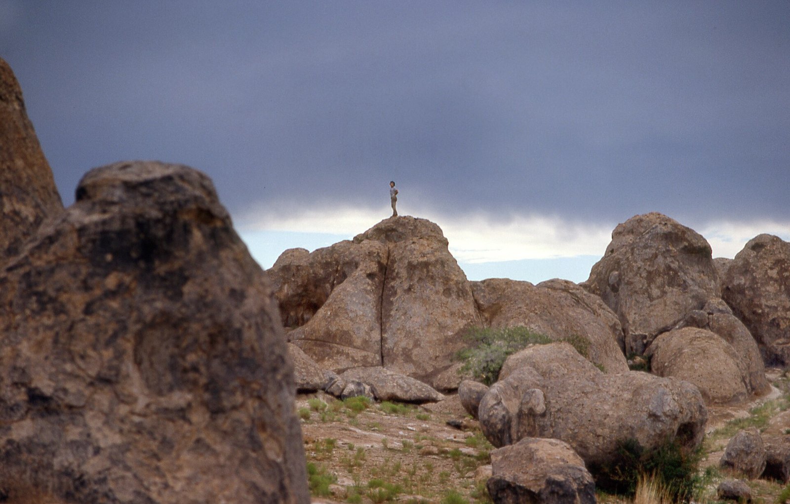 Plate CXX
City of Rocks
volcanicthe Bootheel, near Faywood, New Mexico
A town the ash built and the weather unbuilt.
32.6° N · 108.0° WOpen plate →
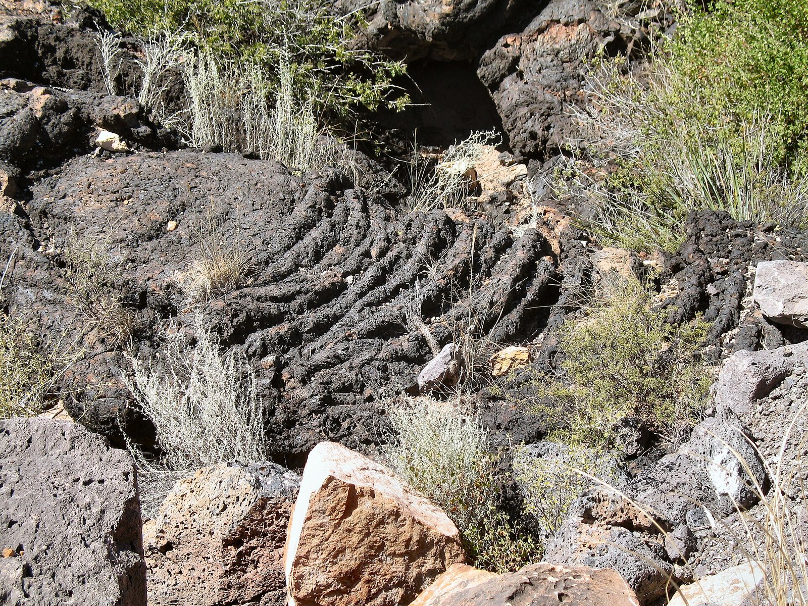 Plate CXXI
Valley of Fires
volcanicCarrizozo malpais, New Mexico
A fire that cooled in place and kept the shape.
33.7° N · 105.9° WOpen plate →
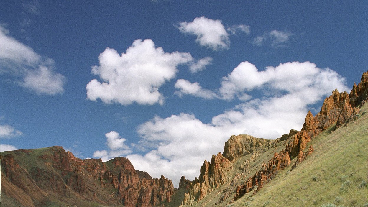 Plate CXXXII
Leslie Gulch
volcanicOwyhee Canyonlands, Oregon
A gulch that grew a skyline.
43.3° N · 117.3° WOpen plate →
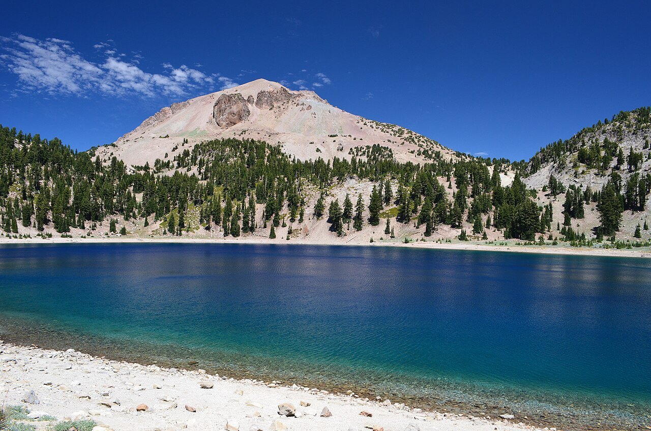 Plate CXXXVIII
Lassen
volcanicLassen Volcanic National Park, California
A mountain that still remembers how to boil.
40.5° N · 121.5° WOpen plate →
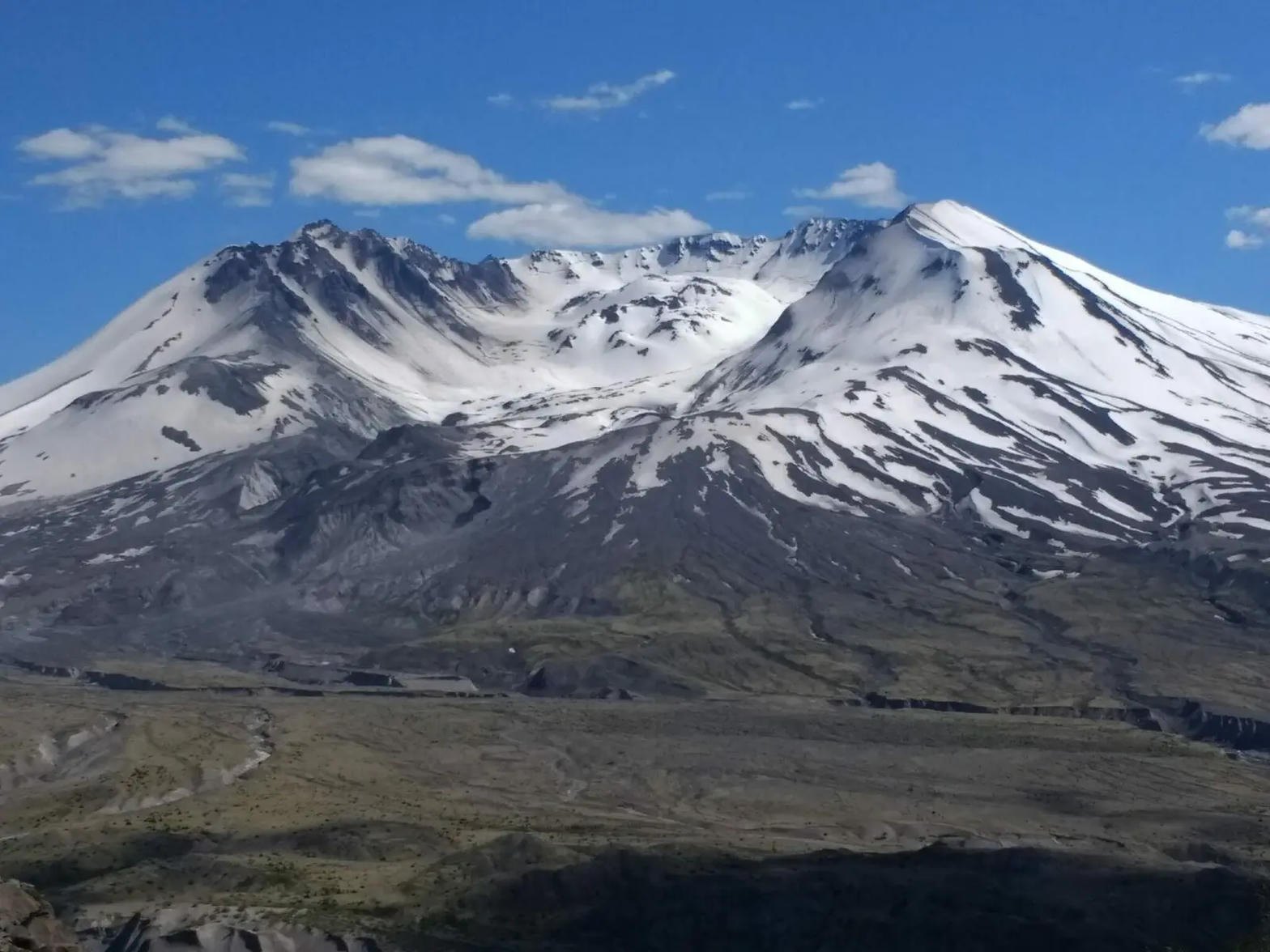 Plate CXLV
Mount St. Helens
volcanicJohnston Ridge, Gifford Pinchot, Washington
A mountain that took its own top off, and is still writing the sequel.
46.2° N · 122.2° WOpen plate →
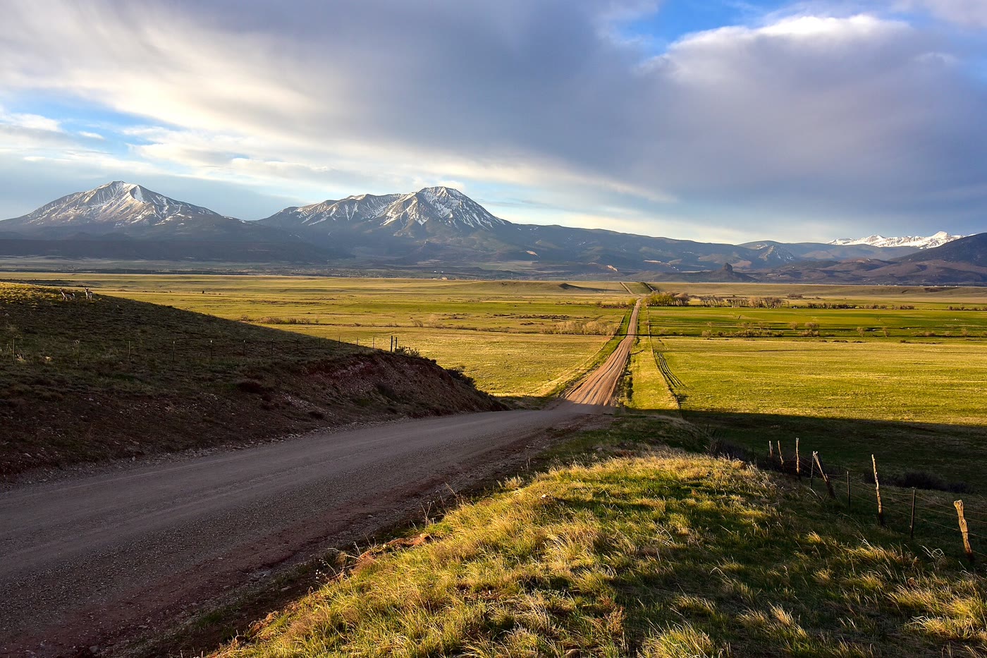 Plate CXCII
Spanish Peaks
volcanicnear La Veta, southern plains, Colorado
Two volcanoes the plains could not wear down.
37.4° N · 105.0° WOpen plate →
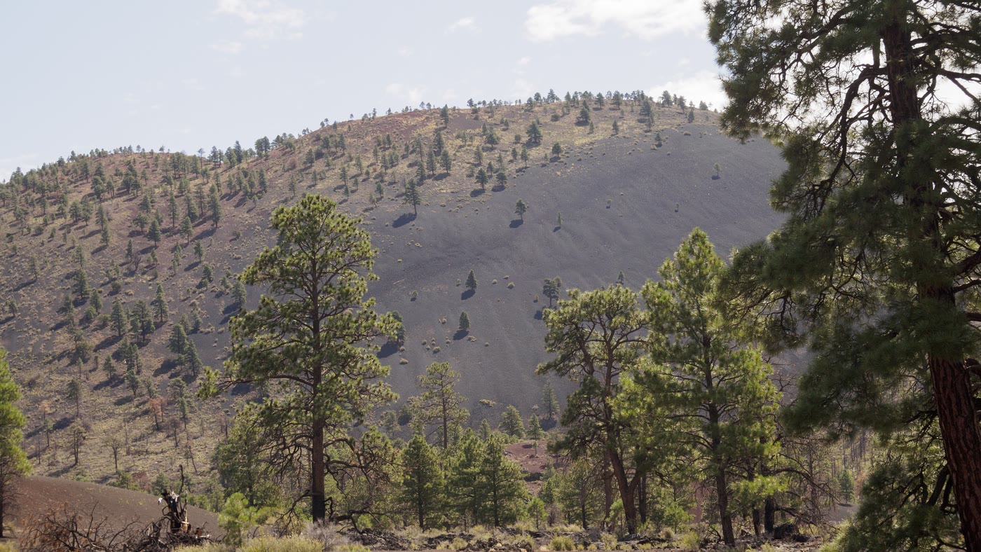 Plate CCXXXVIII
Sunset Crater
volcanicSan Francisco Volcanic Field, Arizona
A cone the last fire left standing.
35.4° N · 111.5° WOpen plate →
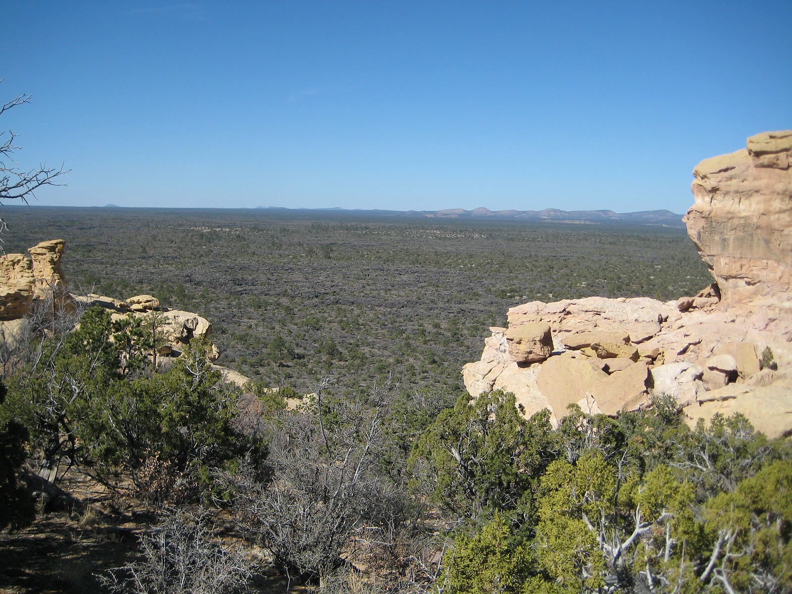 Plate CCLXXIX
El Malpais
volcanicMcCartys lava country, Cibola County, New Mexico
The bad country as lava, not as a window.
34.9° N · 108.1° WOpen plate →
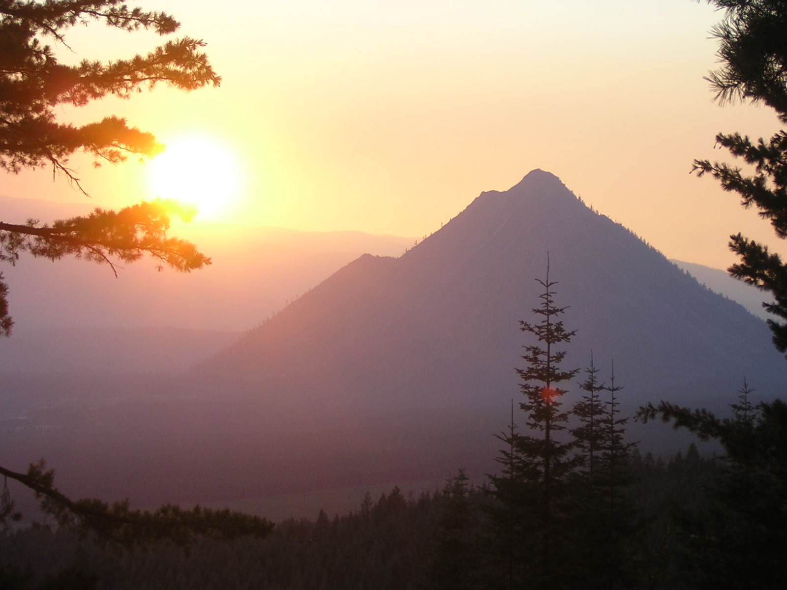 Plate CCXCII
Black Butte
volcanicShasta-Trinity NF, west of Weed, California
A dark cone the interstate looks at and keeps driving past.
41.4° N · 122.3° WOpen plate →
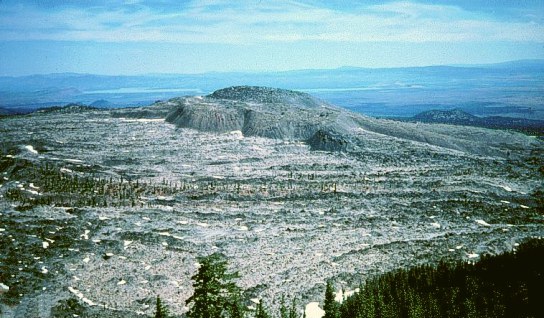 Plate CCXCIV
Medicine Lake
volcanicMedicine Lake Volcano, Modoc NF, California
A caldera lake the obsidian still keeps.
41.6° N · 121.6° WOpen plate →
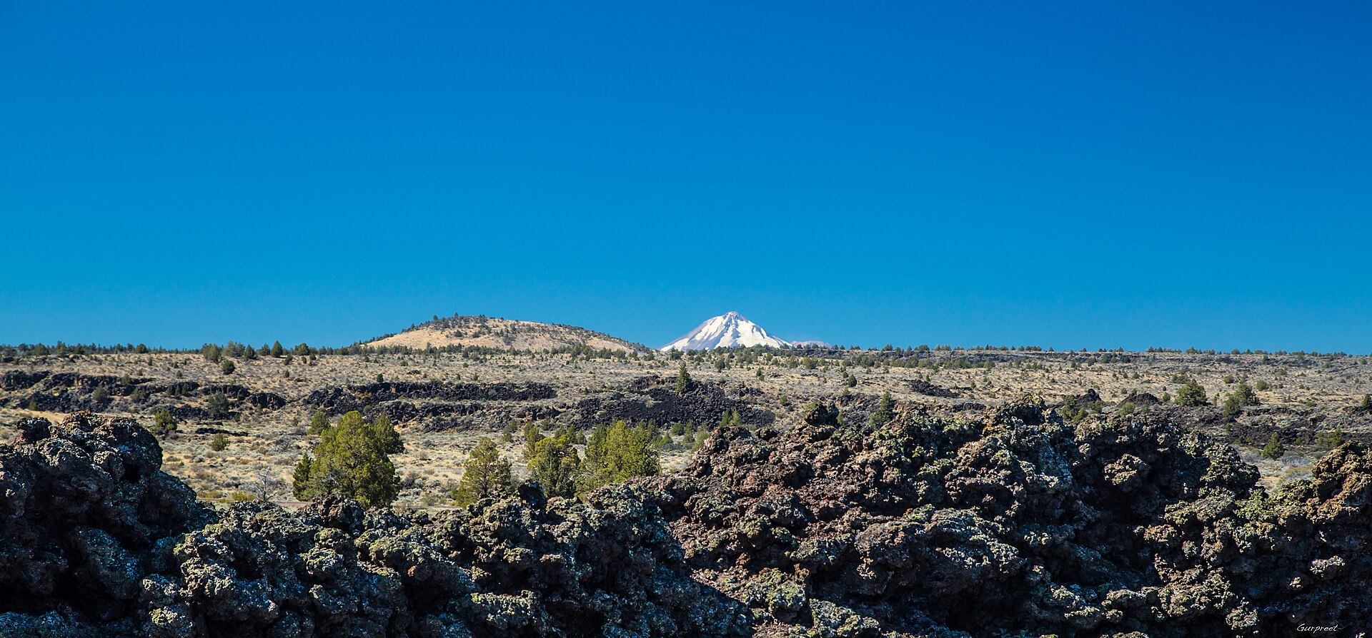 Plate CCXCV
Lava Beds
volcanicLava Beds National Monument, Modoc & Siskiyou, California
Black rock the tubes still keep cool.
41.7° N · 121.5° WOpen plate →
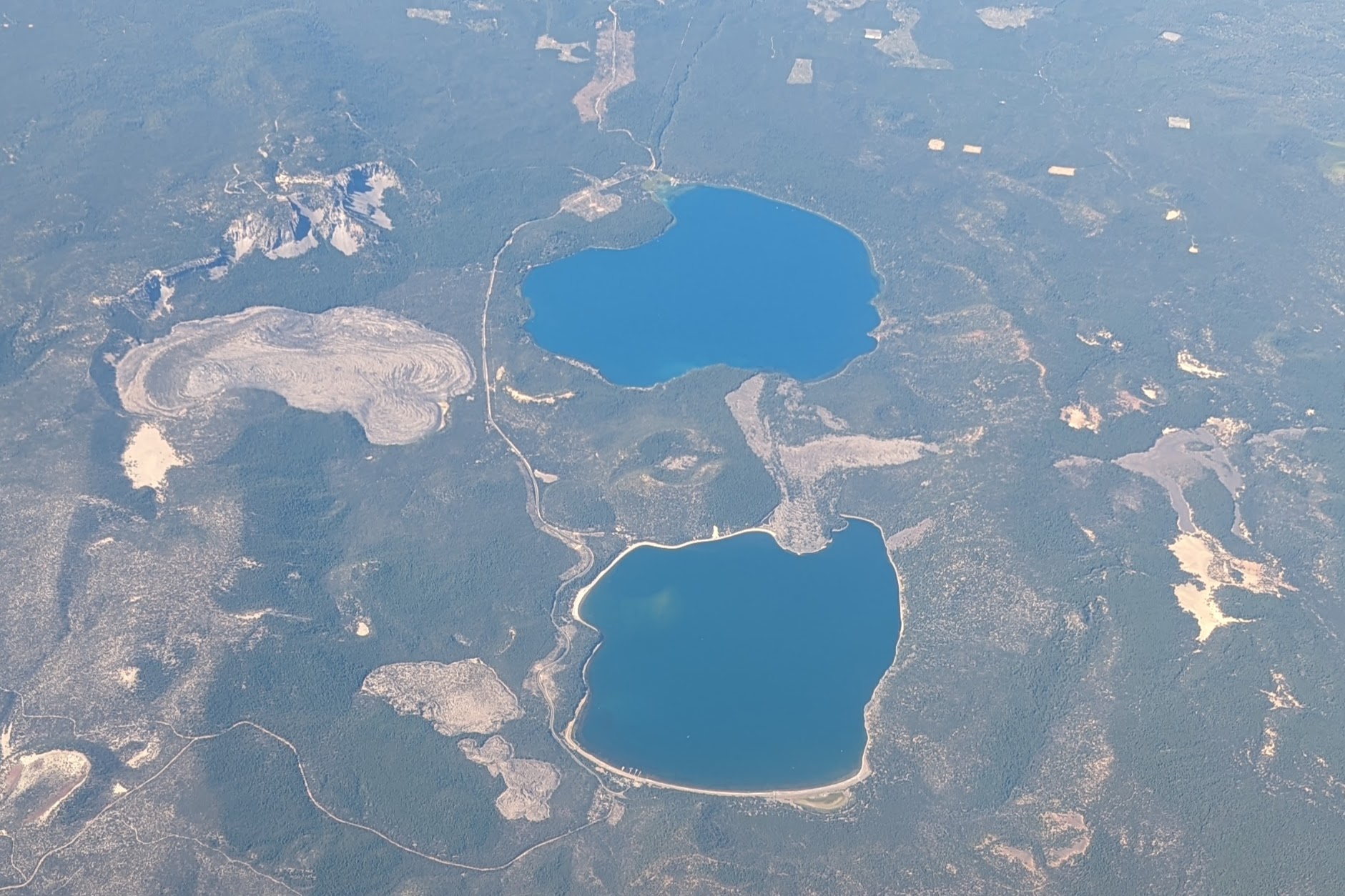 Plate CCXCVII
Newberry
volcanicNewberry National Volcanic Monument, Oregon
Two lakes in a caldera most people drive past.
43.7° N · 121.2° WOpen plate →
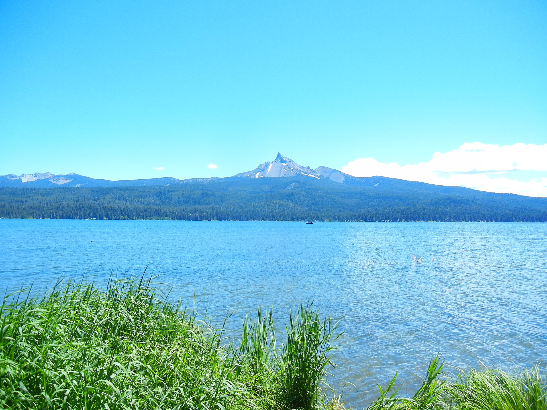 Plate CCXCVIII
Mount Thielsen
volcanicMount Thielsen Wilderness, Umpqua NF, Oregon
A stone needle the lake still looks at.
43.2° N · 122.1° WOpen plate →
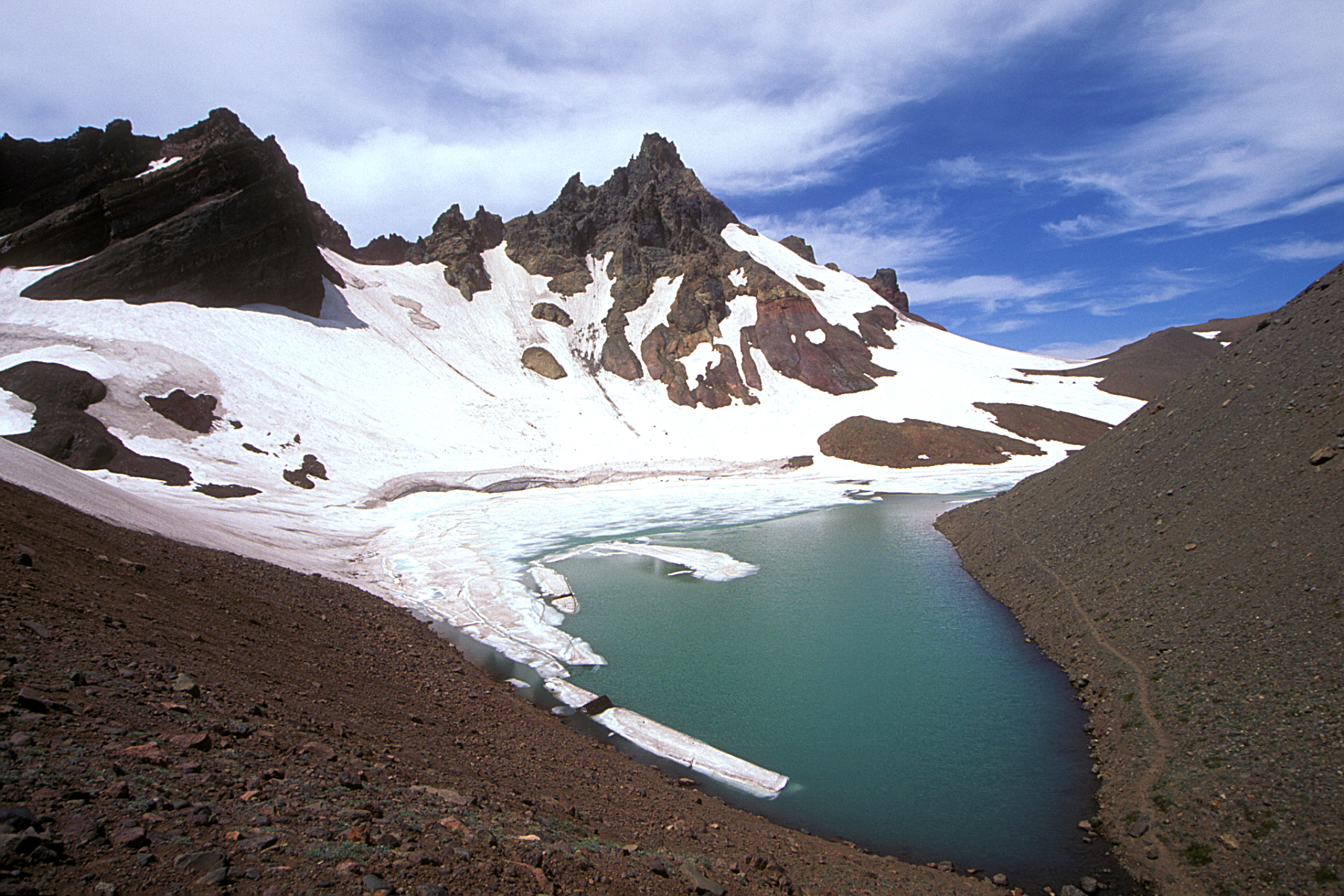 Plate CCXCIX
Broken Top
volcanicThree Sisters Wilderness, Deschutes NF, Oregon
A broken summit the wilderness still keeps.
44.1° N · 121.7° WOpen plate →
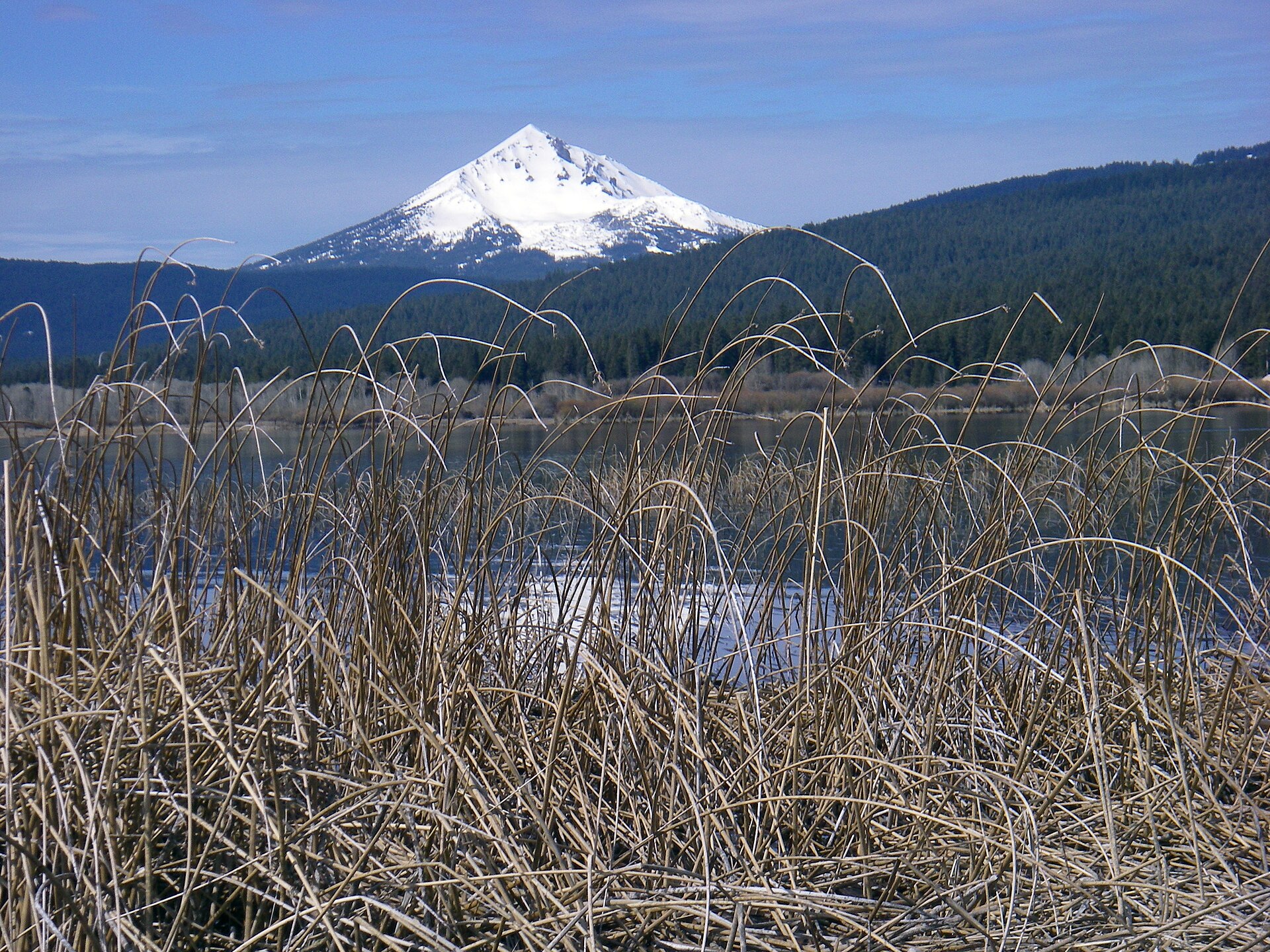 Plate CCC
Mount McLoughlin
volcanicSky Lakes Wilderness, Fremont-Winema NF, Oregon
The quiet cone between Shasta and Crater Lake.
42.4° N · 122.3° WOpen plate →
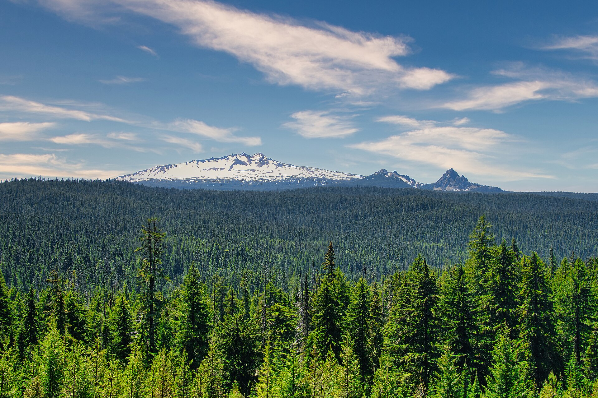 Plate CCCI
Diamond Peak
volcanicDiamond Peak Wilderness, Willamette & Deschutes NF, Oregon
A white roof the fir sea still hides.
43.5° N · 122.1° WOpen plate →
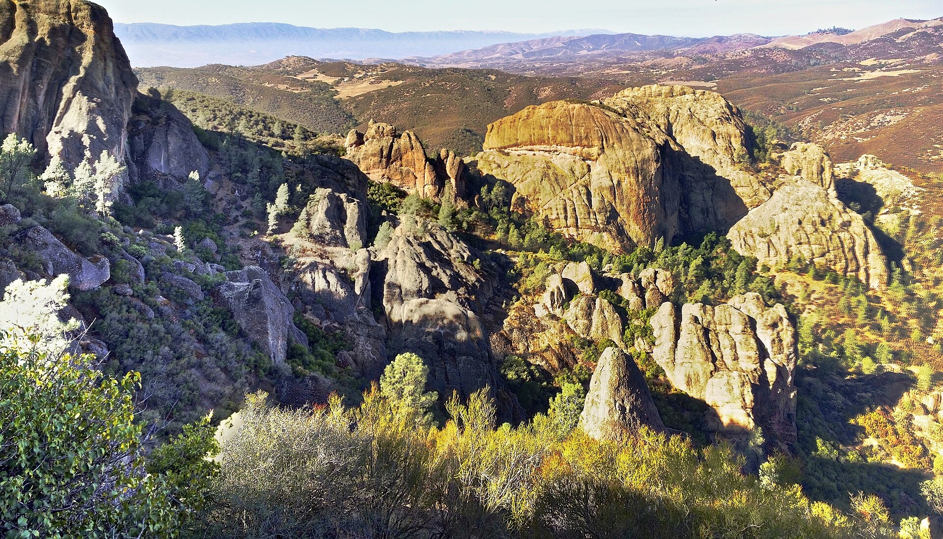 Plate CCCIV
Pinnacles
volcanicPinnacles National Park, Gabilan Range, California
Rhyolite High Peaks over chaparral.
36.5° N · 121.2° WOpen plate →
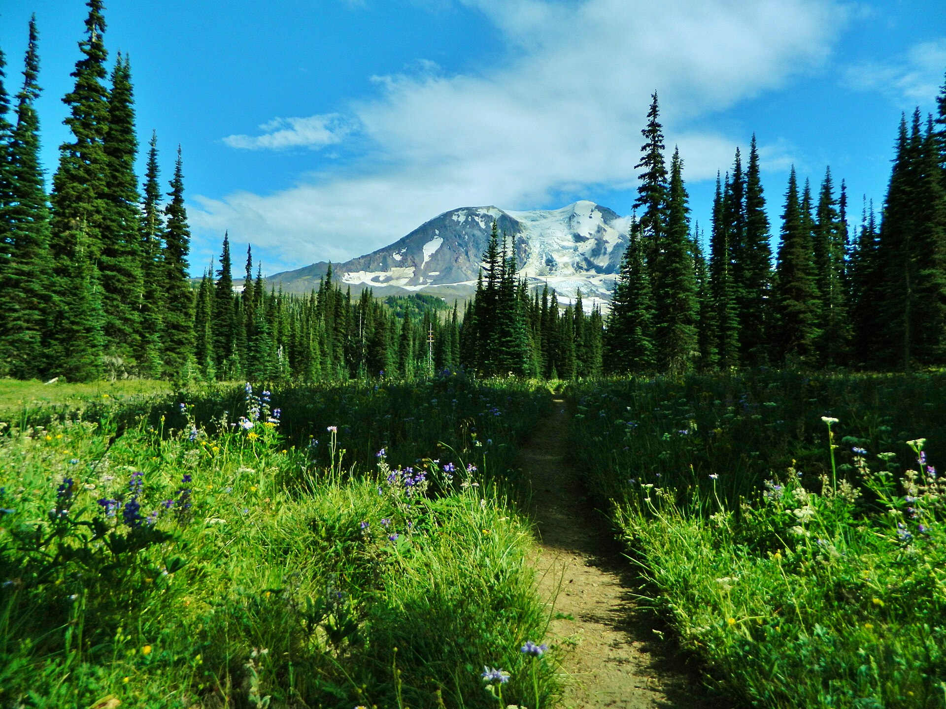 Plate CCCXIII
Mount Adams
volcanicMount Adams Wilderness, Gifford Pinchot NF, Washington
A white cone over Bird Creek Meadows.
46.2° N · 121.5° WOpen plate →
Asked at the trailhead
Questions already asked
- Where can I see volcanoes in the USA?
- Hawaii and the Cascade Range are the main volcanic regions. Quieter Cascade plates include Black Butte beside Shasta, Medicine Lake and Lava Beds, Newberry’s caldera lakes, Thielsen, Broken Top, McLoughlin, and Diamond Peak. Inland, El Malpais lava country in New Mexico is distinct from the La Ventana arch.
Change course