Back to the atlas
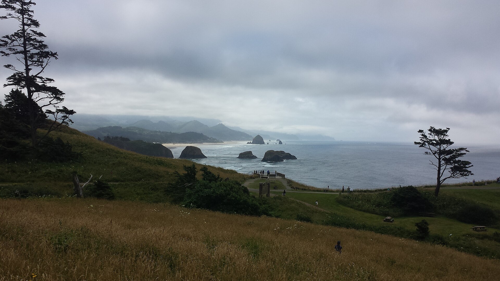
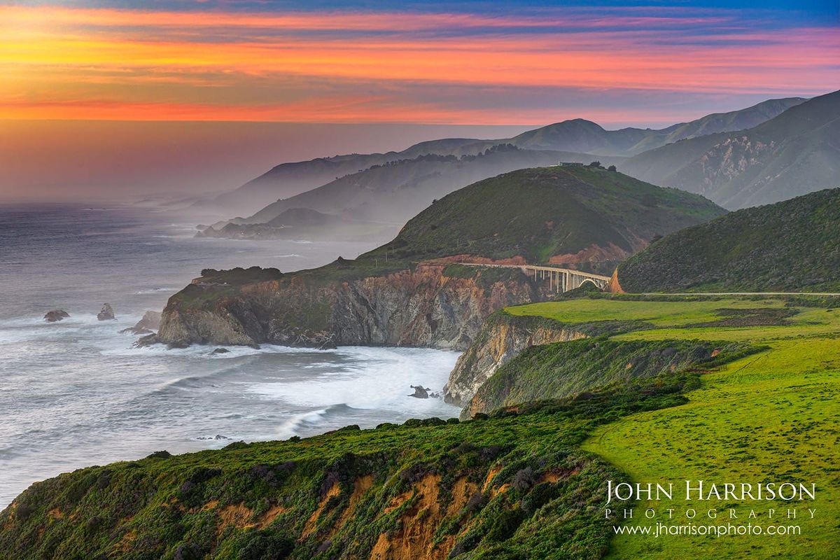
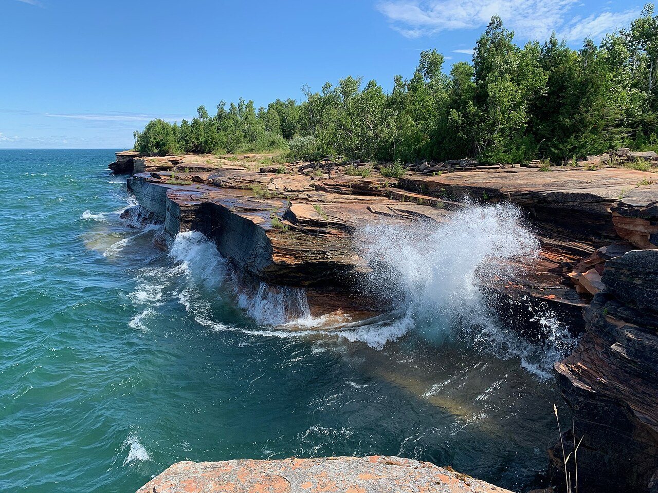
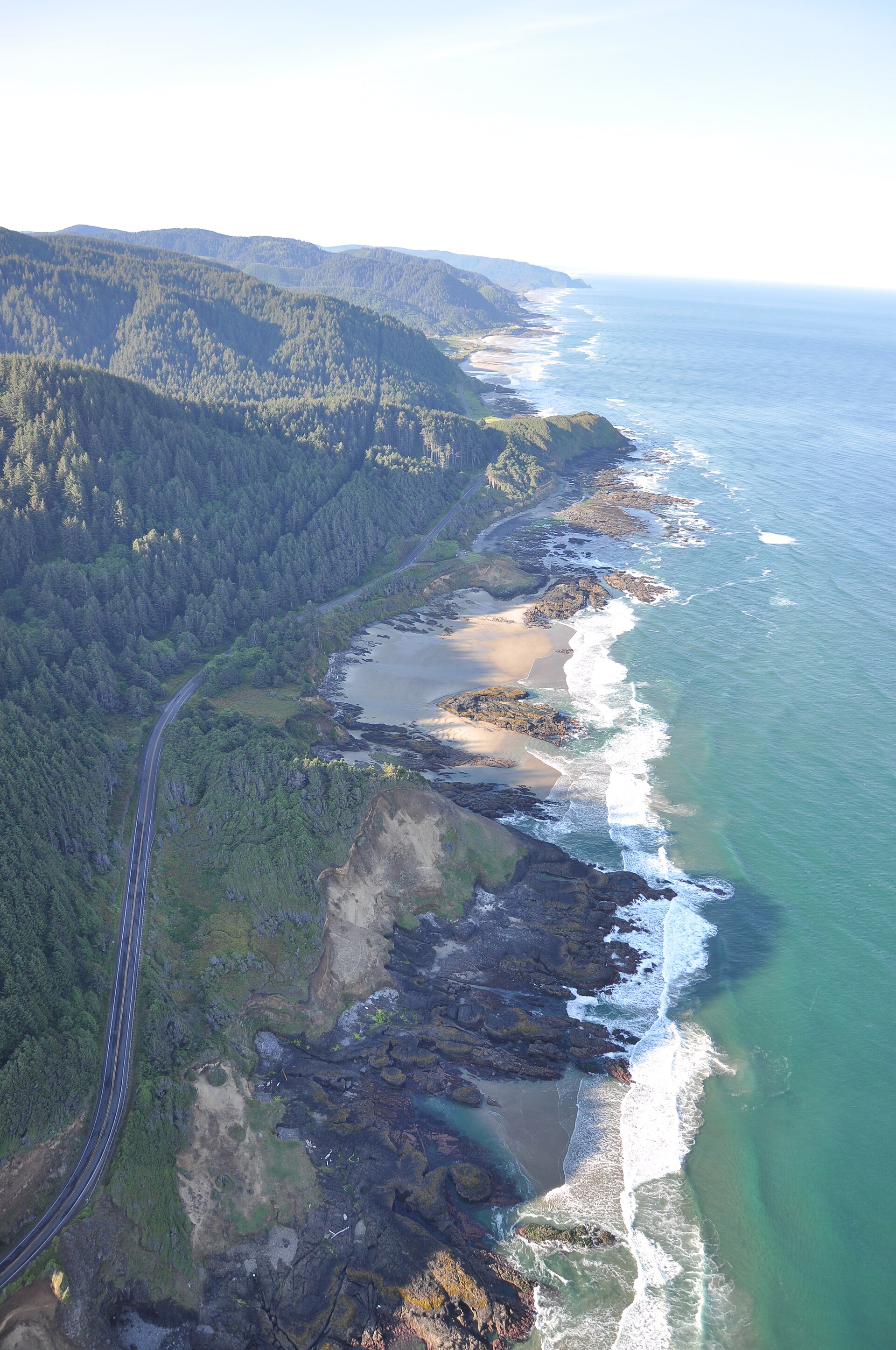
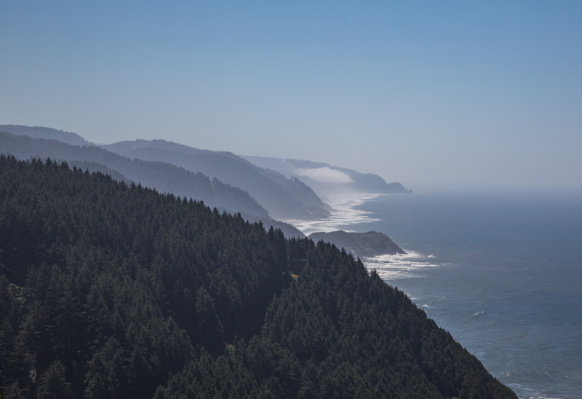
The Oregon shore from above Cape Perpetua
Views 0/3

Fig. 1The Oregon shore from above Cape Perpetua

Photo: OR Marine Reserves · CC BY-SA 4.0

Landform

A high fir headland over tidepools, Devil’s Churn, and a long Pacific wall — Yachats below, Boardman farther south.

Field note

The stone shelter looks west; Devil’s Churn and Thor’s Well sit at the foot. Yachats is the town. This plate is Cape Perpetua Scenic Area, not Big Sur and not Samuel H. Boardman.

Cape Perpetua is a high fir headland over Devil’s Churn and a long Pacific wall. Yachats is the town. This plate is the scenic area in Siuslaw National Forest, not Big Sur and not Samuel H. Boardman.
Views & peaks

Inside this plate

Views 0/3


Stamp each view as you reach it; the plate seals when every one is inked.

A private leaf

Prints from Cape Perpetua


Instant paper, this copy only. Write on the white — a line the walk still owes you.

The prints

0 / 24

Opening the leaf…

Onward

A day's country


The nearest plates, by the miles.

Coast chapter

More coast destinations


Other US coast plates. See all coast destinations in the USA

Fold-out

On the chart


Vintage map of the United States