The Field Atlas
0/363Headland and shore
Coast destinations in the USA
The American coast is not only a beach. Headlands, sea stacks, tide flats, and volcanic islands sit beside quieter strands.
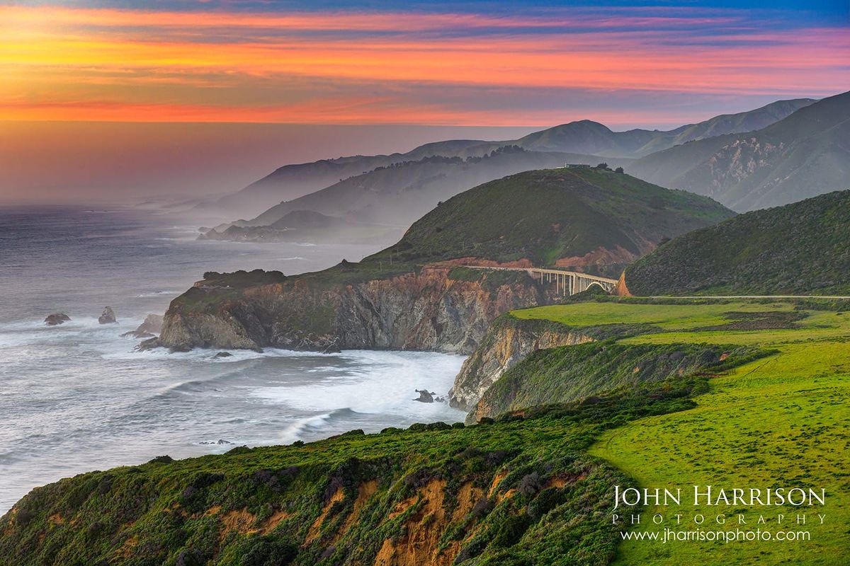
FrontispieceBig Sur, California
These plates are for travelers who want the shore as a landform, not a resort strip — Big Sur light, Oregon spray, Maine granite, or a Gulf marsh at low tide. The King Range holds California’s Lost Coast without a highway. St. Joseph Peninsula is a quieter Gulf spit of dune and bay.
- Plates
- 15
- States
- 9
States in this chapter
- California
- Florida
- Hawaii
- Maine
- Maryland / Virginia
- Michigan
- Minnesota
- Oregon
- Wisconsin
Coast chapter
The plates
Plate XIBig Sur
coastSanta Lucia Range, Central Coast, California
Where the continent ends in a long green fall to the sea.
36.3° N · 121.8° WOpen plate →
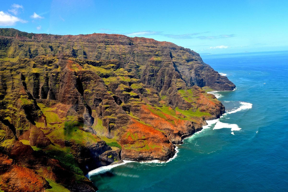 Plate XXII
Nā Pali Coast
coastKauaʻi, Hawaii
A green cathedral falling straight into deep water.
22.2° N · 159.6° WOpen plate →
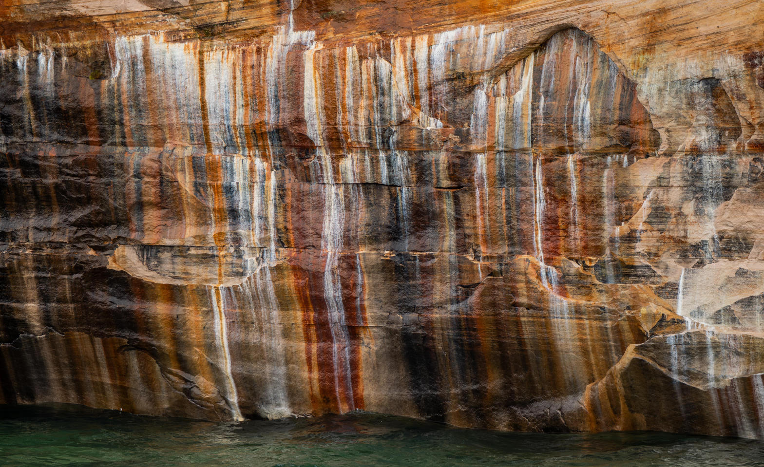 Plate XXIII
Pictured Rocks
coastLake Superior shore, Michigan
A painted wall standing in freshwater sea.
46.6° N · 86.3° WOpen plate →
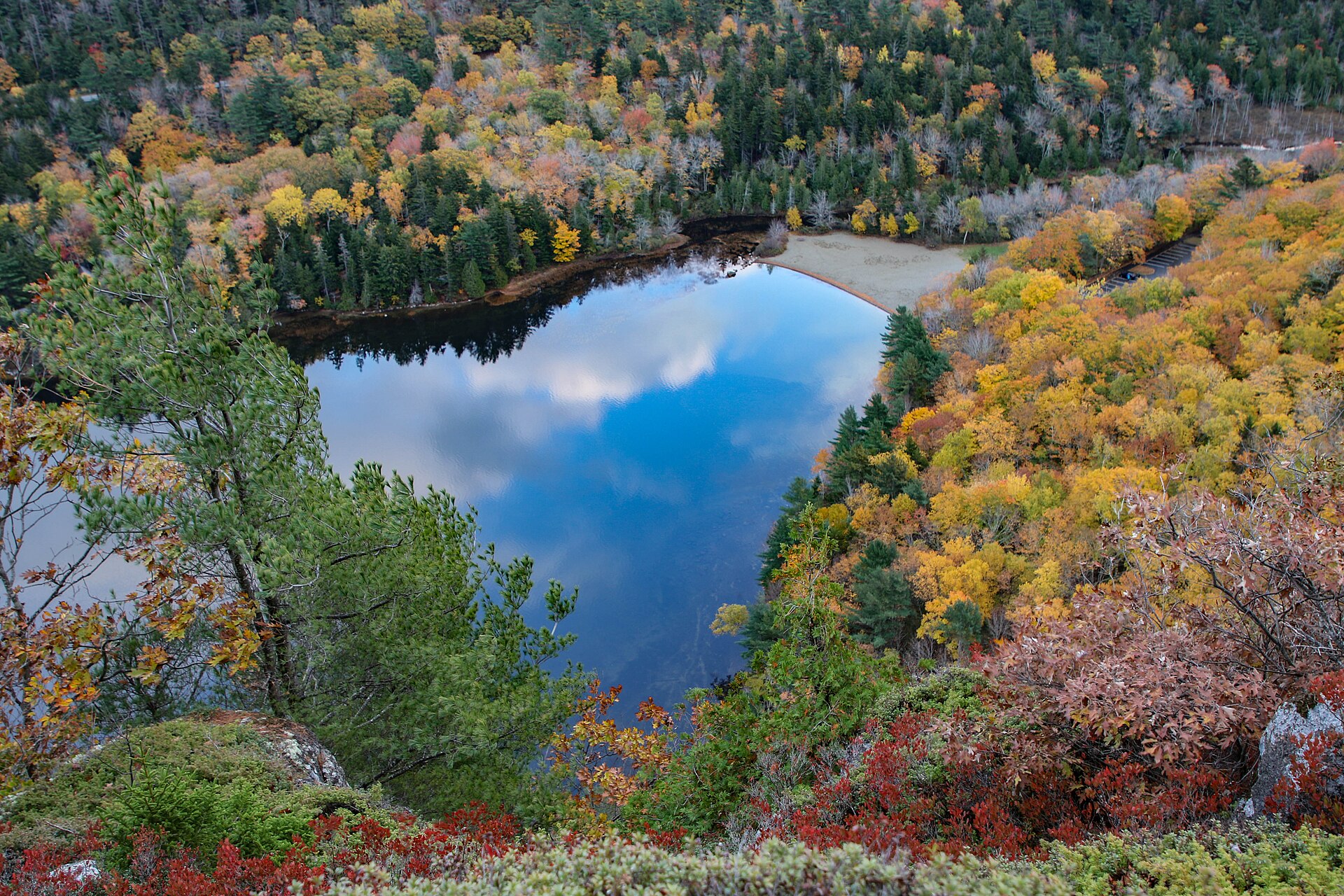 Plate XXIV
Acadia
coastMount Desert Island, Maine
Granite mountains that remember the ice, now washed by tide.
44.3° N · 68.3° WOpen plate →
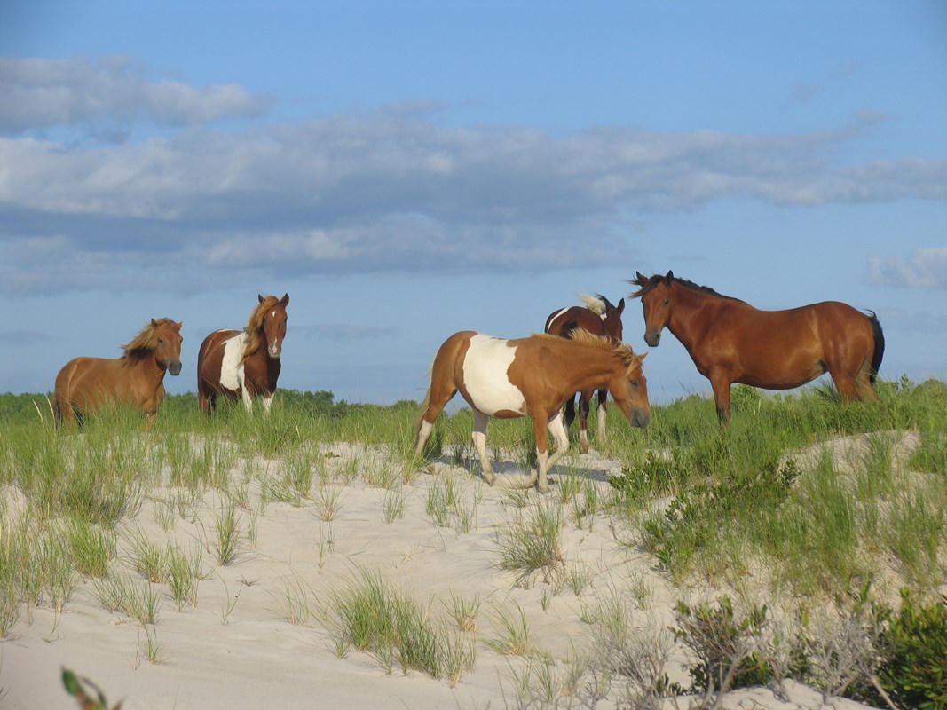 Plate LI
Assateague
coastAtlantic barrier island, Maryland / Virginia
A thin island the Atlantic is still rewriting.
38.1° N · 75.2° WOpen plate →
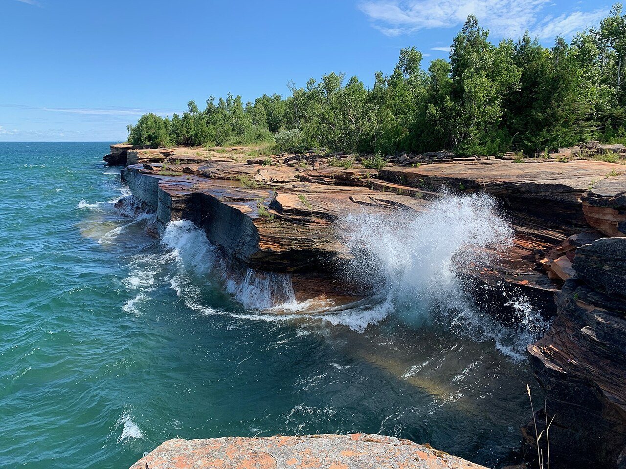 Plate LXXIII
Apostle Islands
coastLake Superior, Bayfield Peninsula, Wisconsin
A red-stone archipelago in a freshwater ocean.
47.0° N · 90.7° WOpen plate →
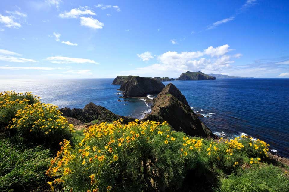 Plate CXXXIX
Channel Islands
coastAnacapa Island, off Ventura, California
The California that kept its wildness by sitting in the water.
34.0° N · 119.4° WOpen plate →
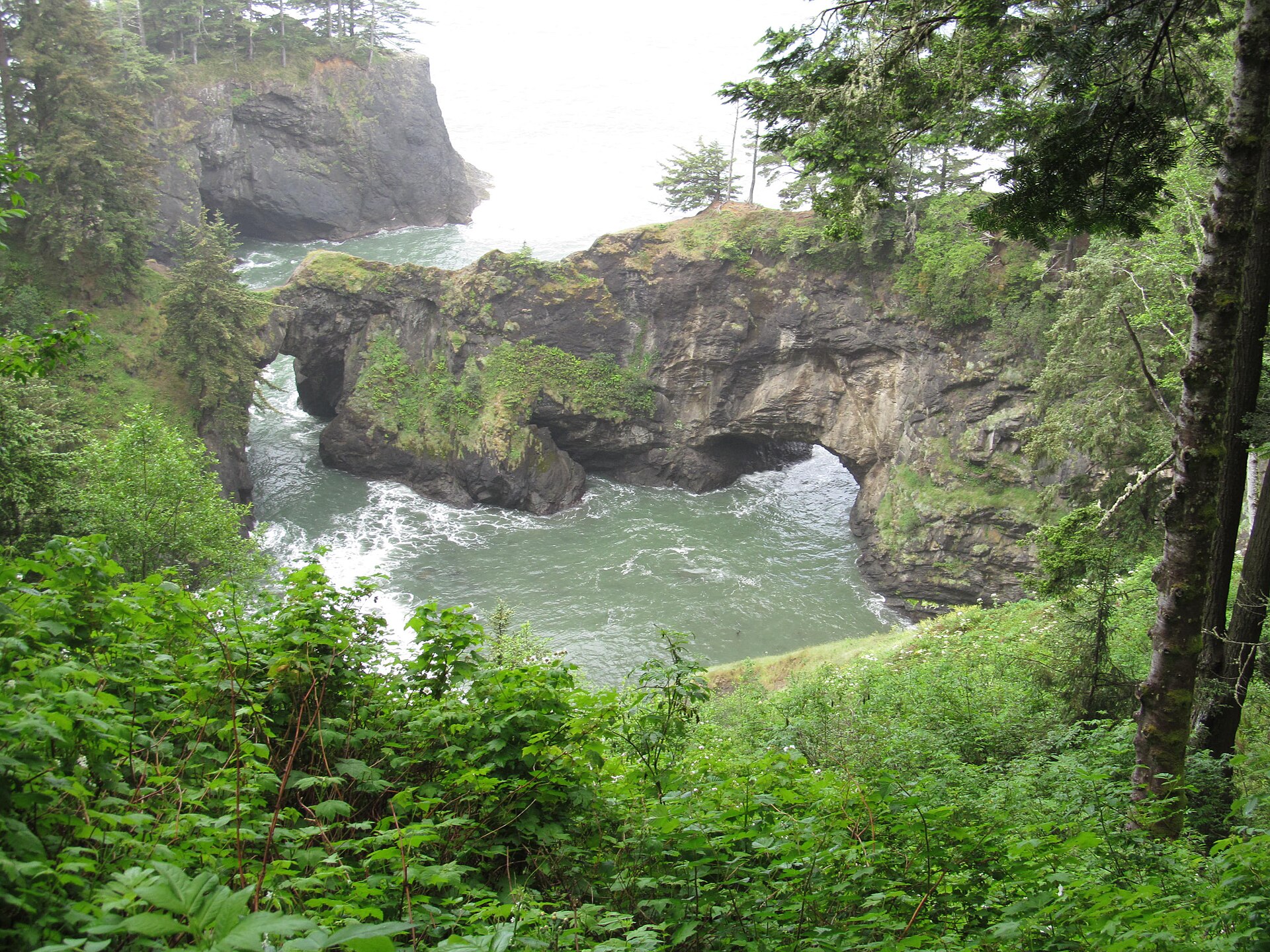 Plate CCCVII
Samuel H. Boardman
coastSamuel H. Boardman State Scenic Corridor, Oregon
Sea arches in a green Oregon cove.
42.2° N · 124.4° WOpen plate →
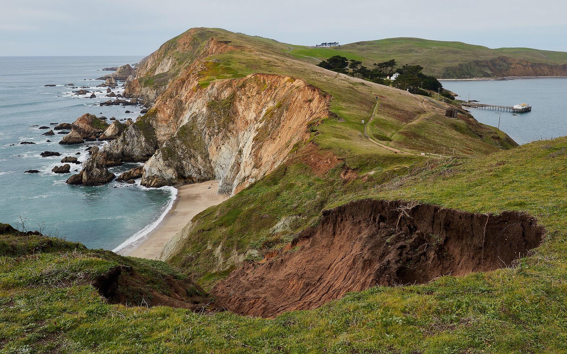 Plate CCCVIII
Point Reyes
coastPoint Reyes National Seashore, Marin, California
A headland that still feels like the continent’s end.
38.0° N · 123.0° WOpen plate →
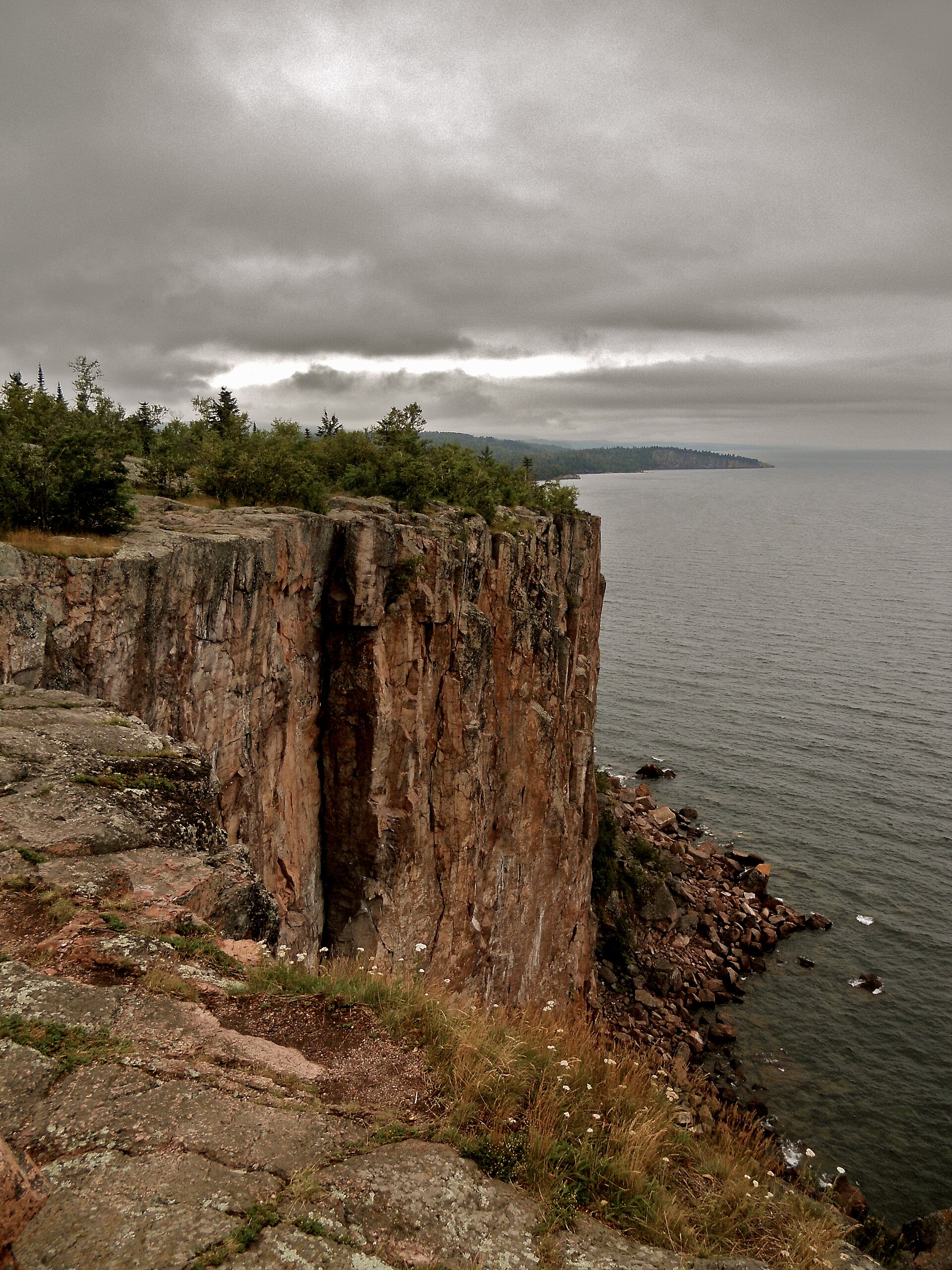 Plate CCCXI
Palisade Head
coastTettegouche State Park, North Shore, Minnesota
A rhyolite cliff dropping into Superior.
47.3° N · 91.2° WOpen plate →
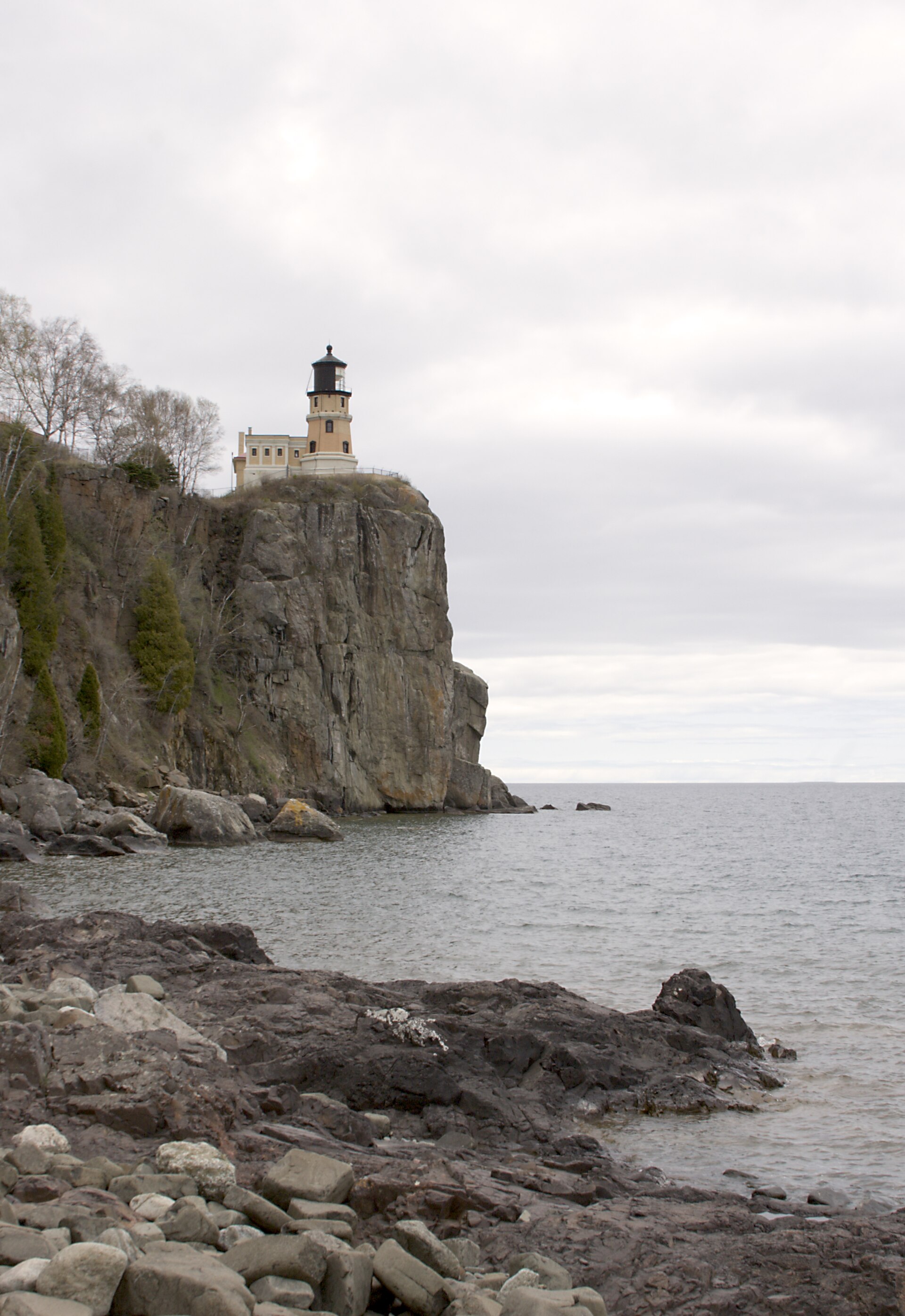 Plate CCCXVI
Split Rock
coastSplit Rock Lighthouse State Park, North Shore, Minnesota
A Superior cliff and a light on the brow.
47.2° N · 91.4° WOpen plate →
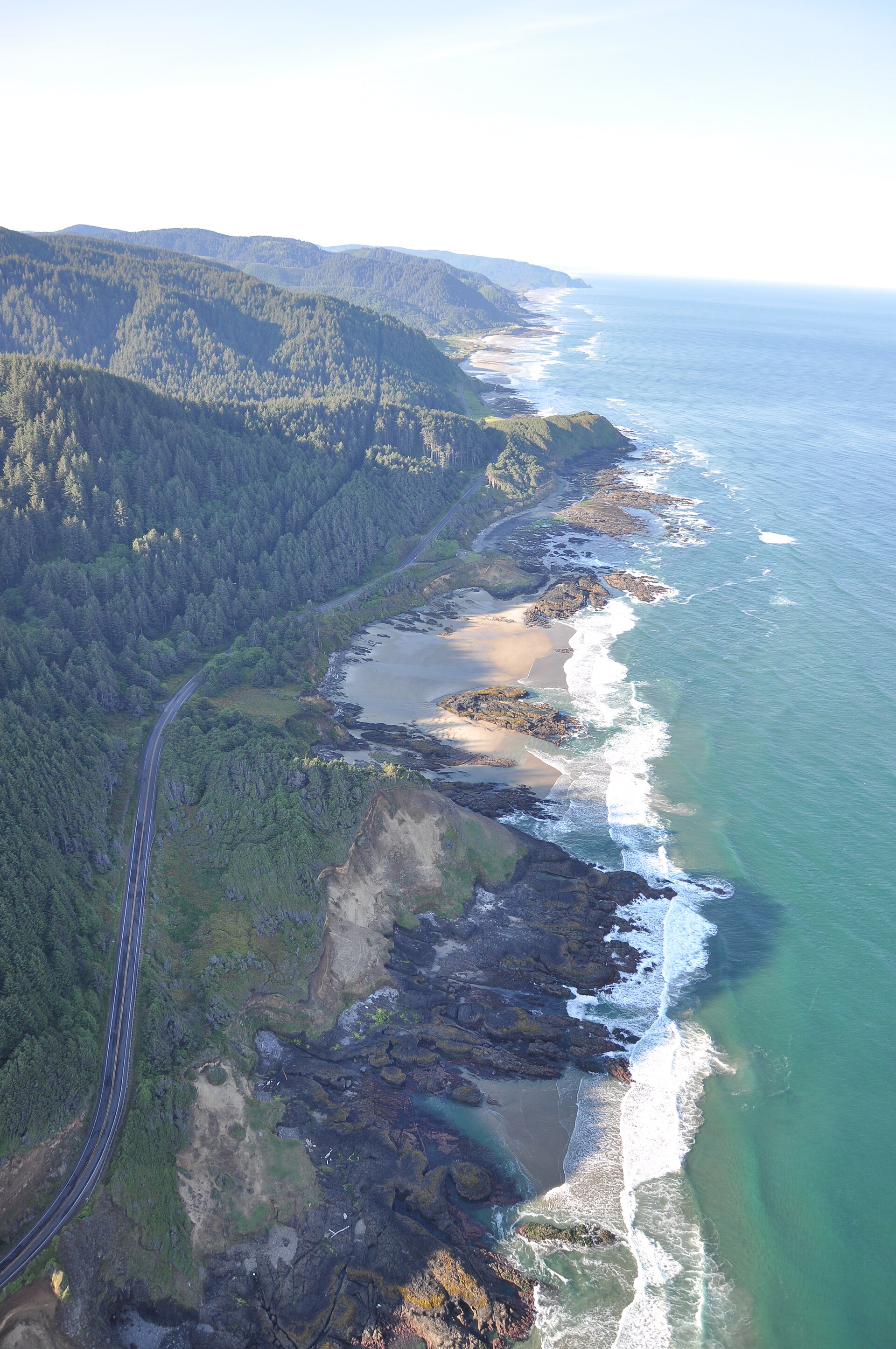 Plate CCCXVII
Cape Perpetua
coastCape Perpetua Scenic Area, Siuslaw NF, Oregon
Fir headlands running south into a white sea.
44.3° N · 124.1° WOpen plate →
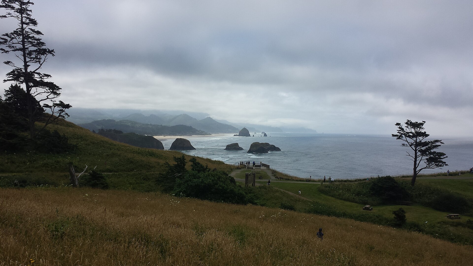 Plate CCCXXIV
Ecola
coastEcola State Park, Tillamook Head, Oregon
Spruce headlands and a black rock in a gray sea.
45.9° N · 124.0° WOpen plate →
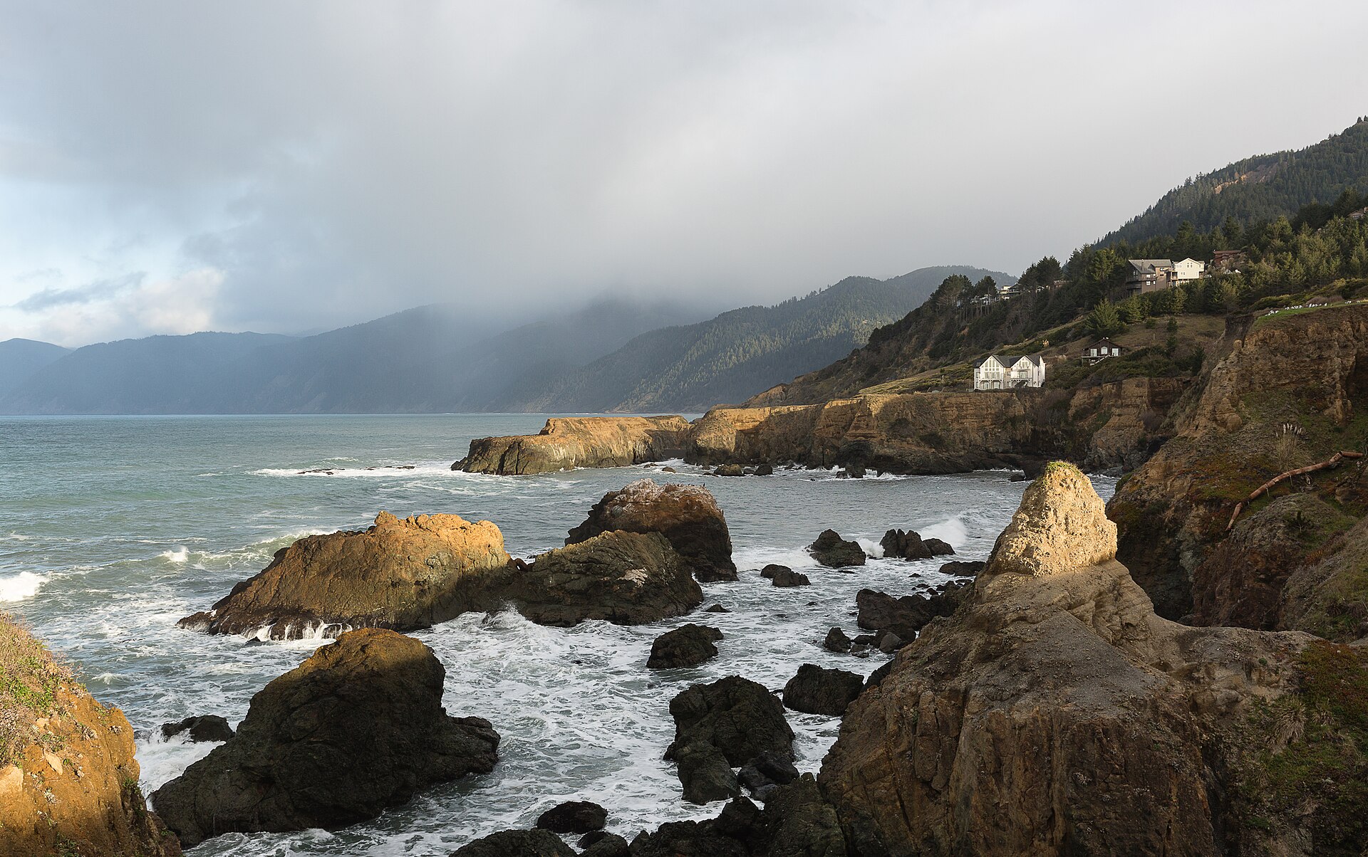 Plate CCCLV
King Range
coastLost Coast, King Range National Conservation Area, California
California’s roadless coast.
40.0° N · 124.1° WOpen plate →
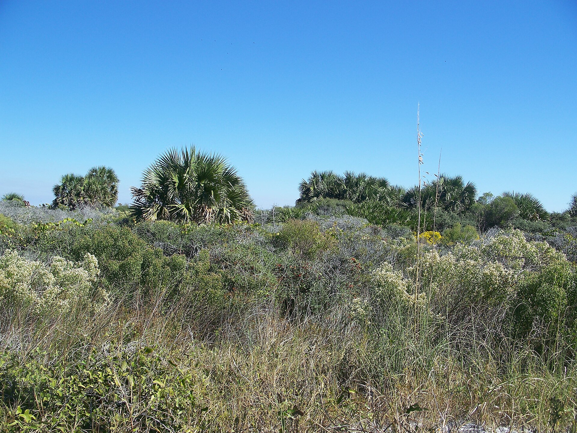 Plate CCCLVI
St. Joseph Peninsula
coastSt. Joseph Peninsula State Park, Gulf County, Florida
A quiet Gulf spit of dune and bay.
29.8° N · 85.4° WOpen plate →
Asked at the trailhead
Questions already asked
- What are the best nature coasts in the USA?
- Pacific headlands in California and Oregon, volcanic shores in Hawaii and the Northwest, and Atlantic granite and marsh plates are gathered here.
Change course