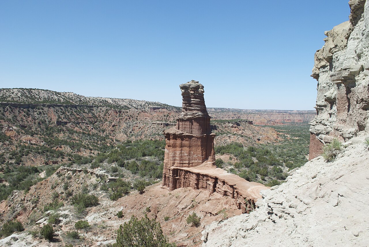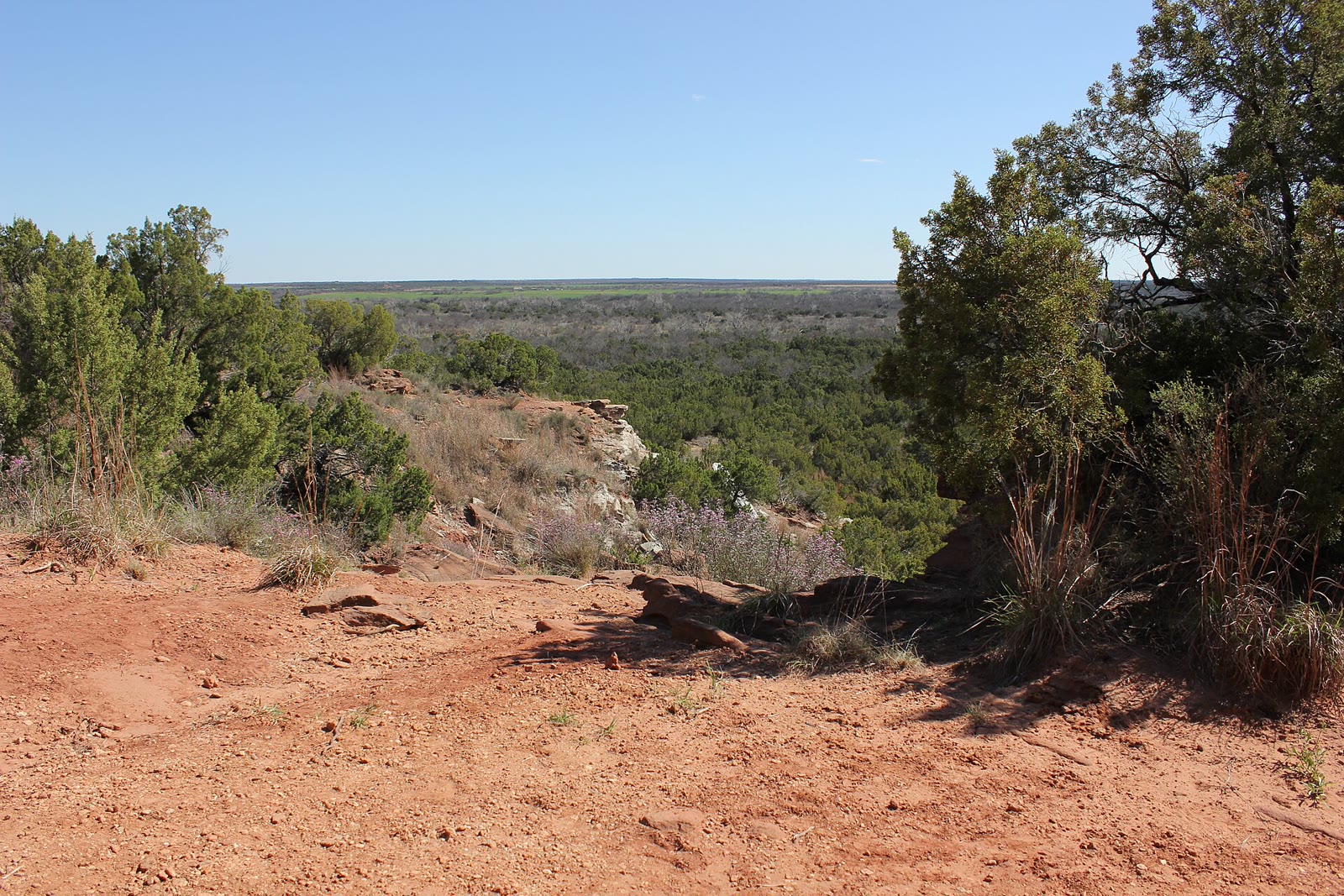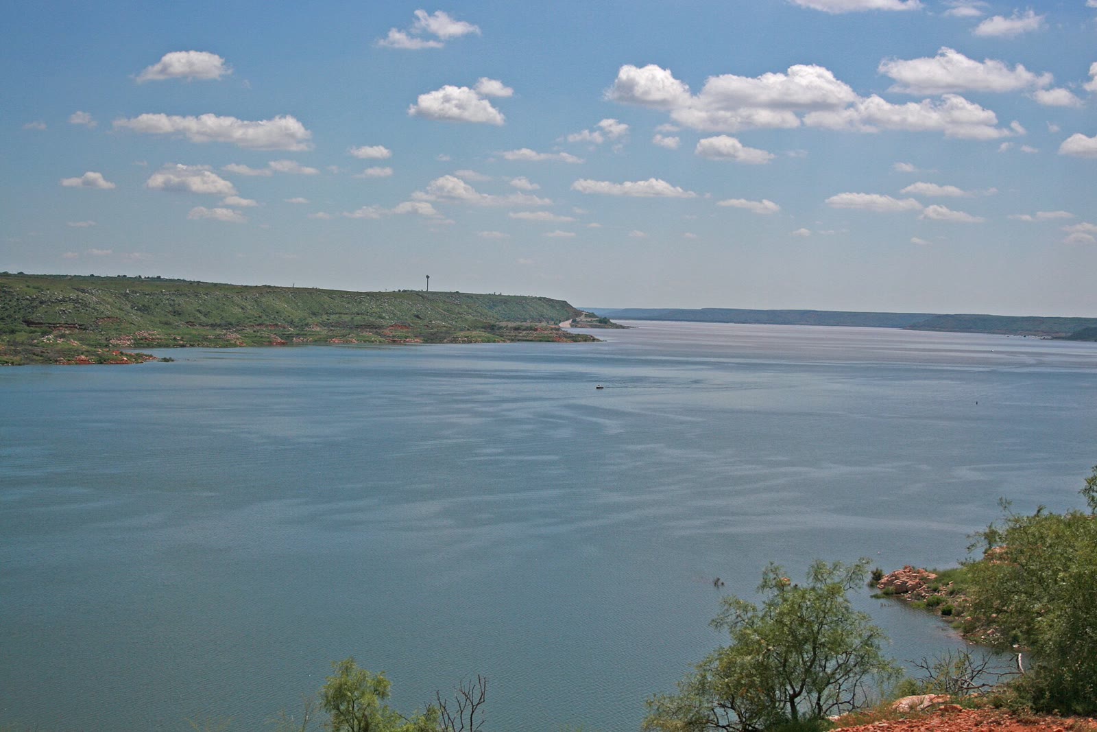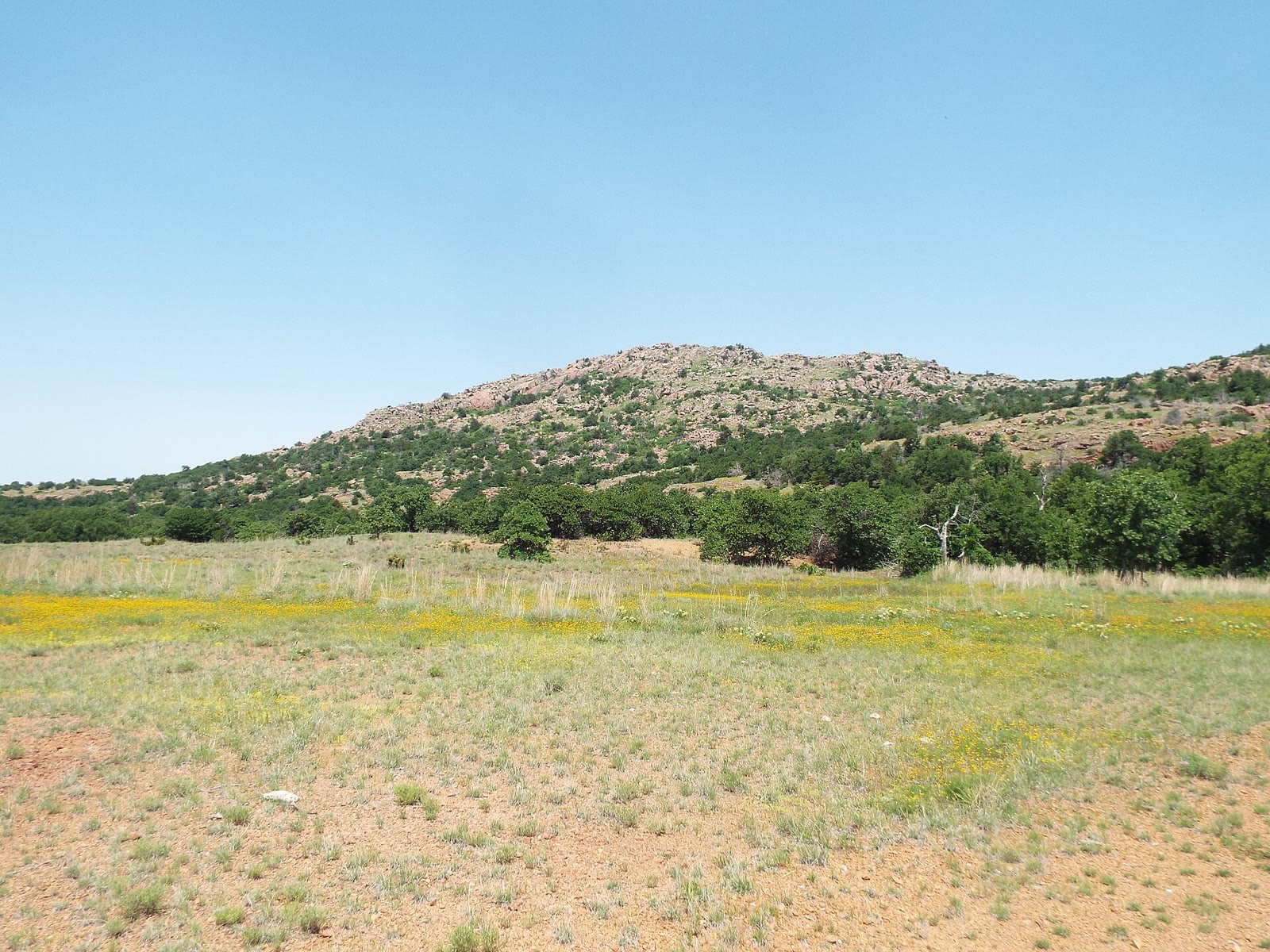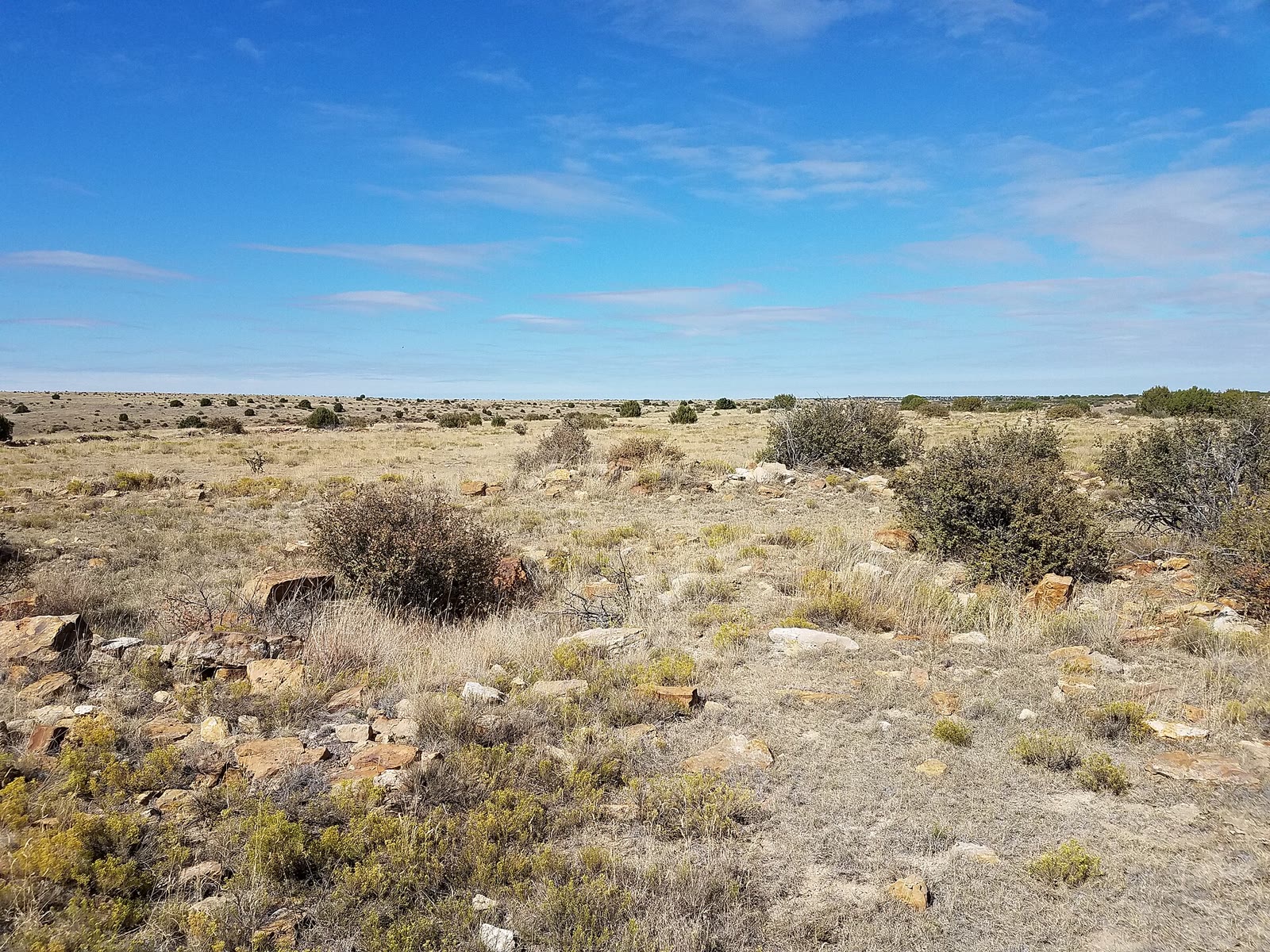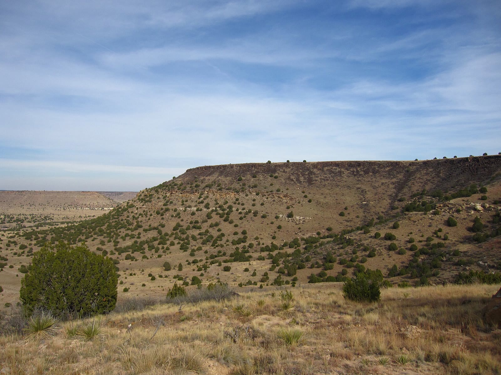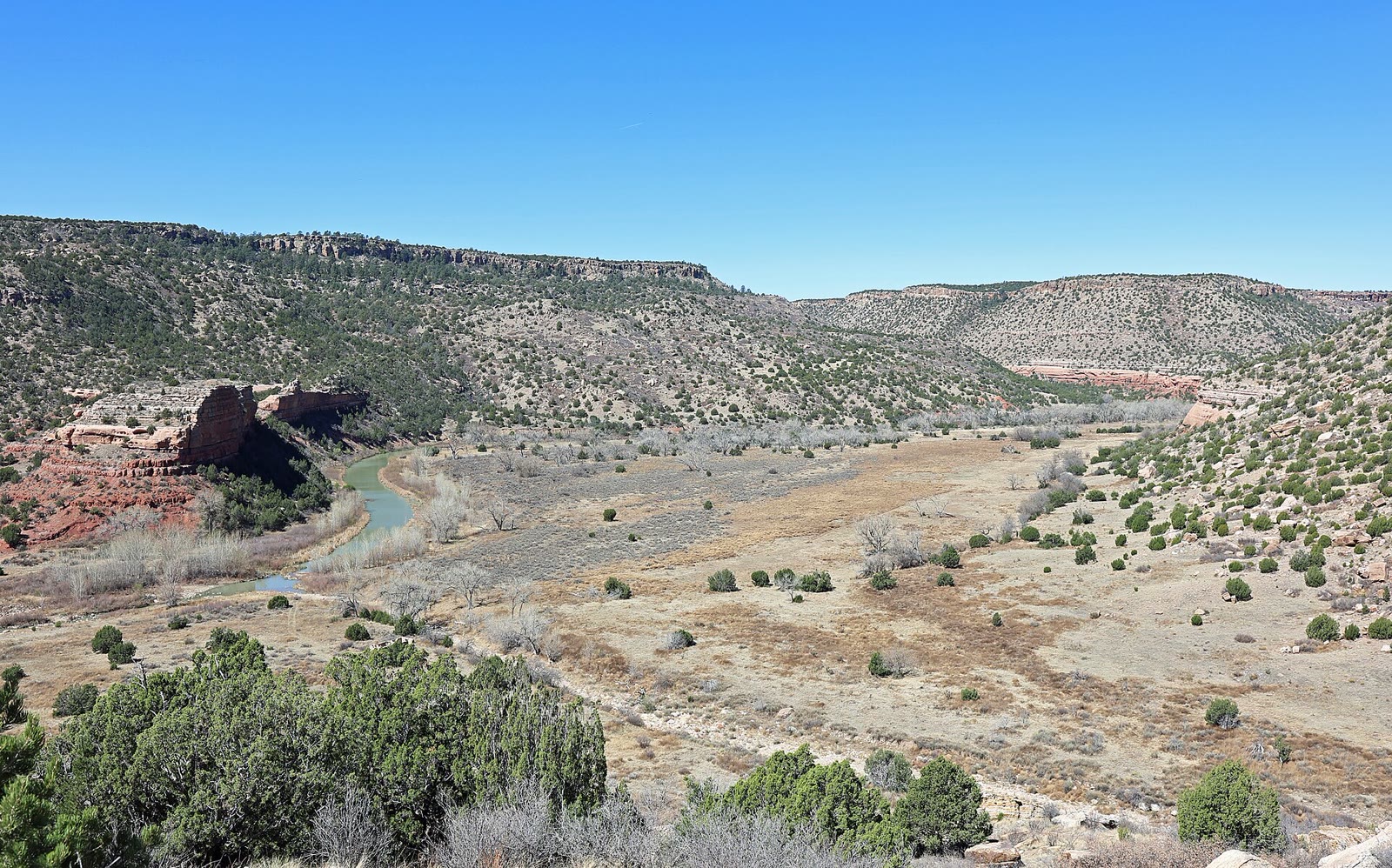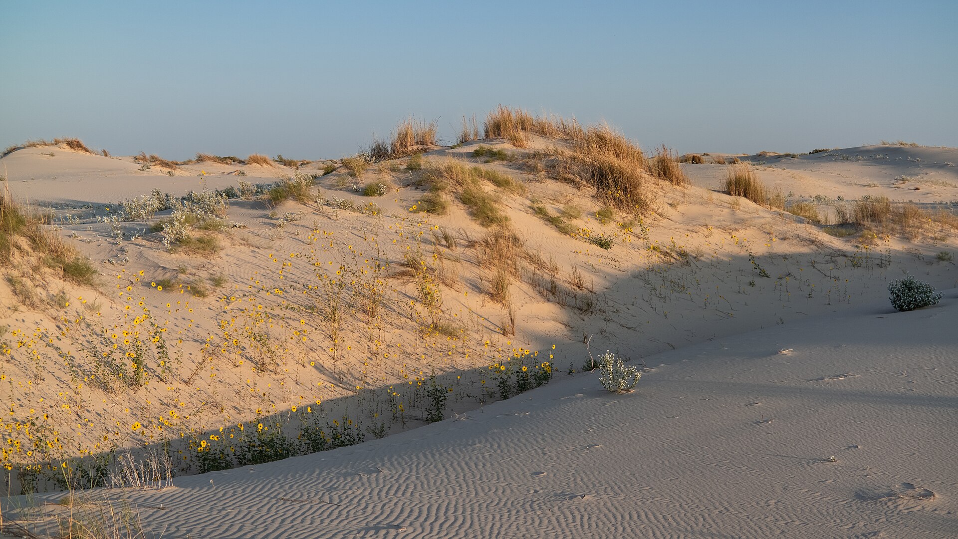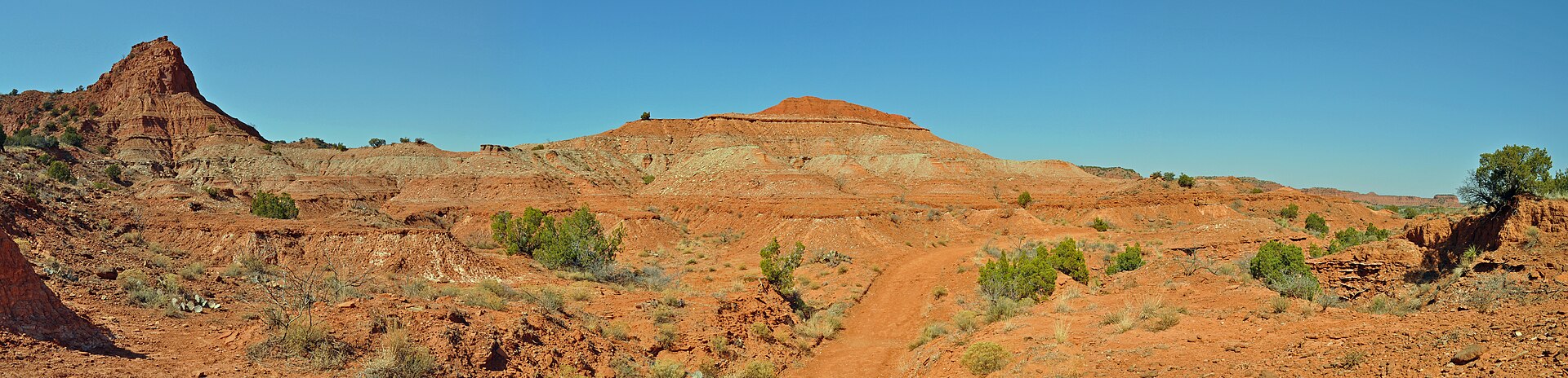
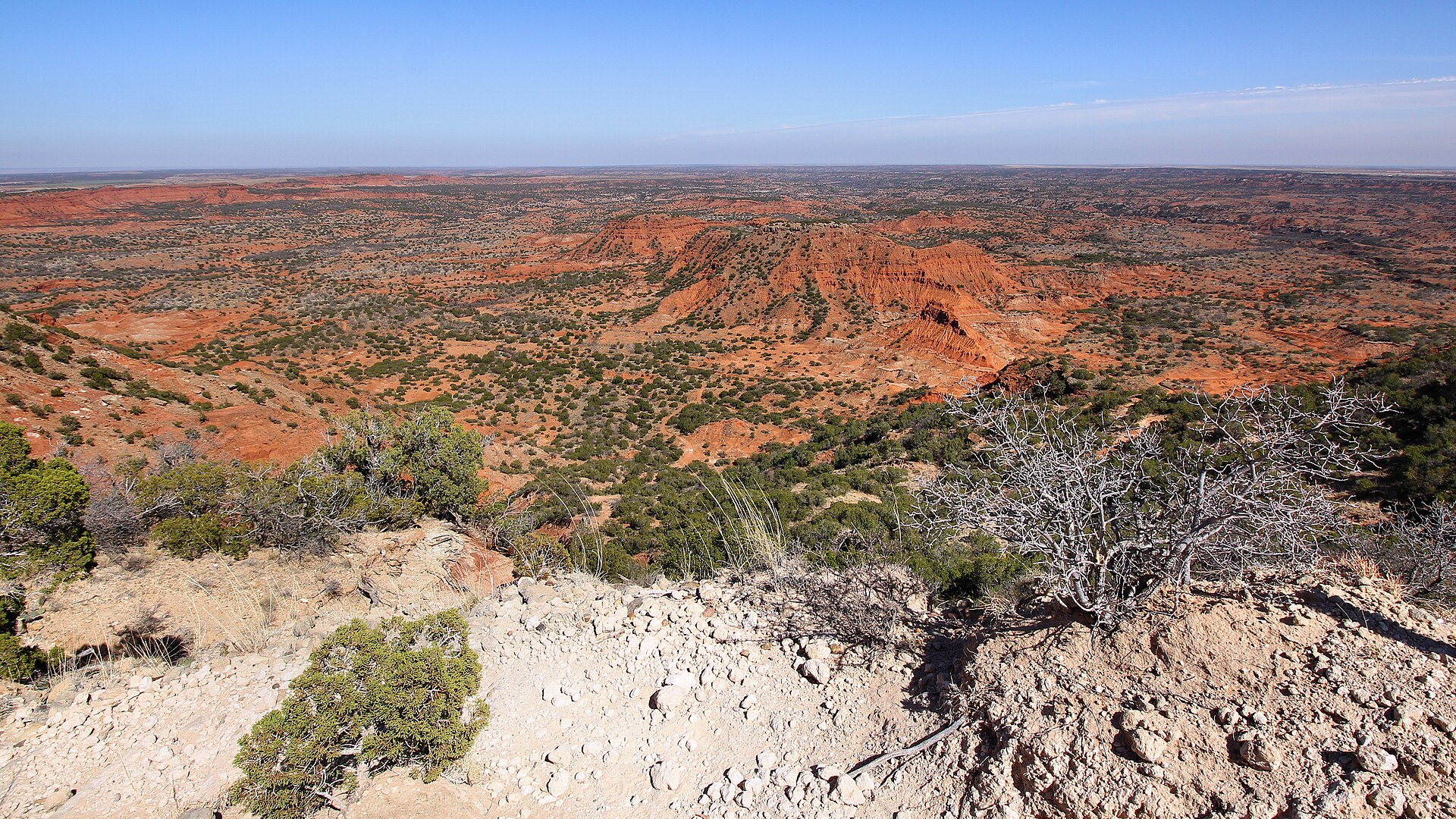
Fig. 1Red Permian walls and a dirt path in Caprock Canyons
Landform
A red Permian cut in the High Plains — the same escarpment as Palo Duro, a quieter trench of buttes, a prairie rim, and the Little Red River.
Field note
You do not see Caprock until the plains drop. Haynes Ridge looks over brick-red walls and a floor of mesquite. The official Texas bison herd uses this park. Quitaque is the nearest town. Spring and fall hold the light; summer is a hard, empty heat. This plate is Caprock Canyons State Park, not the Lighthouse at Palo Duro and not a ranch draw.
Caprock Canyons is the High Plains opening a second red trench — same Caprock Escarpment as Palo Duro, fewer buses. Haynes Ridge and the Little Red River read the cut. Texas Parks & Wildlife keeps the official bison herd here. Quitaque is the town. This plate is the state park, not the Lighthouse hoodoo one canyon west.