The Field Atlas
0/363Vertical country
Canyon destinations in the USA
This chapter is the vertical country: river gorges, plateau rims, and slot canyons cut through the Colorado Plateau, with a few quieter cuts farther afield.

FrontispieceGrand Canyon, Arizona
A canyon plate is a place to stand on the edge and read the stone — layered walls, a river at the bottom, light that only lasts an hour. Utah, Arizona, and New Mexico hold most of this chapter. Dark Canyon is the roadless cut behind the Needles. Texas adds Palo Duro, quieter Caprock and Copper Breaks, Seminole on the Pecos, Colorado Bend, and Lake Meredith. Montana adds Blodgett’s granite trough. The East adds Linville Gorge.
- Plates
- 95
- States
- 22
States in this chapter
- Alabama
- Arizona
- Arkansas
- California
- Colorado
- Hawaii
- Idaho
- Idaho / Oregon
- Kentucky
- Maine
- Montana
- New Mexico
- New York
- North Carolina
- Oregon / Washington
- Texas
- Utah
- Utah / Wyoming
- Washington
- West Virginia
- Wyoming
- Wyoming / Montana
Canyon chapter
The plates
Plate IGrand Canyon
canyonSouth Rim, Coconino County, Arizona
Two billion years of stone stacked like a book, opened by the Colorado River.
36.1° N · 112.1° WOpen plate →
 Plate II
Antelope Canyon
canyonNavajo Nation, near Page, Arizona
Wind and flood wrote a corridor of fire-colored stone.
36.9° N · 111.4° WOpen plate →
 Plate V
Zion Canyon
canyonZion National Park, Utah
A river walking through a cathedral of red walls.
37.3° N · 113.0° WOpen plate →
 Plate VIII
Big Bend
canyonChihuahuan Desert, Rio Grande, Texas
Where the river cuts a door through desert mountains.
29.2° N · 103.3° WOpen plate →
 Plate XXIX
Bryce Canyon
canyonPaunsaugunt Plateau, Utah
A frozen congregation of stone, lit from within at sunrise.
37.6° N · 112.2° WOpen plate →
 Plate XXX
Horseshoe Bend
canyonGlen Canyon, near Page, Arizona
The river turning back on itself in a perfect horseshoe of stone.
36.9° N · 111.5° WOpen plate →
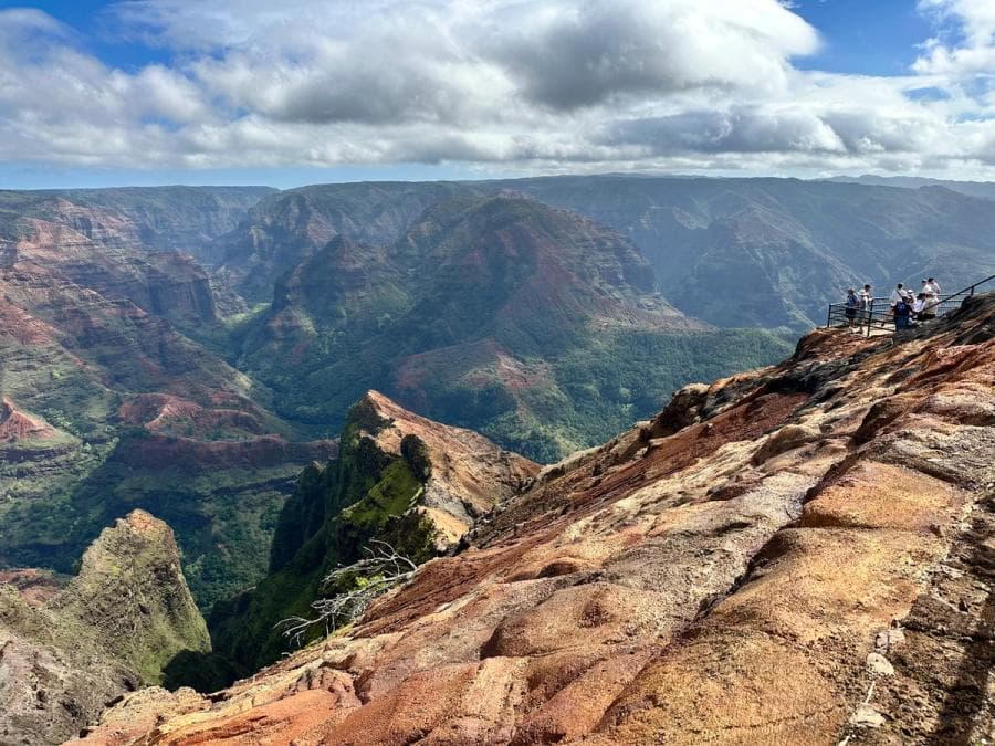 Plate XLV
Waimea Canyon
canyonWest Kauaʻi, Hawaii
The Grand Canyon of the Pacific — smaller, greener, just as sudden.
22.1° N · 159.7° WOpen plate →
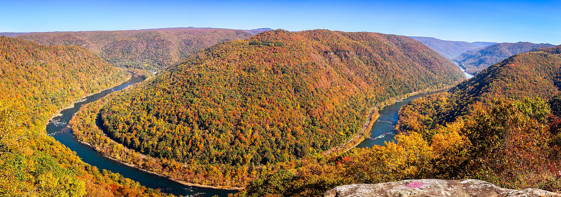 Plate L
New River Gorge
canyonAppalachian Plateau, near Fayetteville, West Virginia
An old river in a young park, under a high thin bridge.
38.1° N · 81.1° WOpen plate →
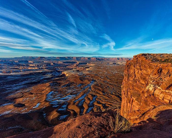 Plate LV
Island in the Sky
canyonCanyonlands National Park, north mesa, Utah
A tableland with two rivers cutting the floor out from under it.
38.5° N · 109.8° WOpen plate →
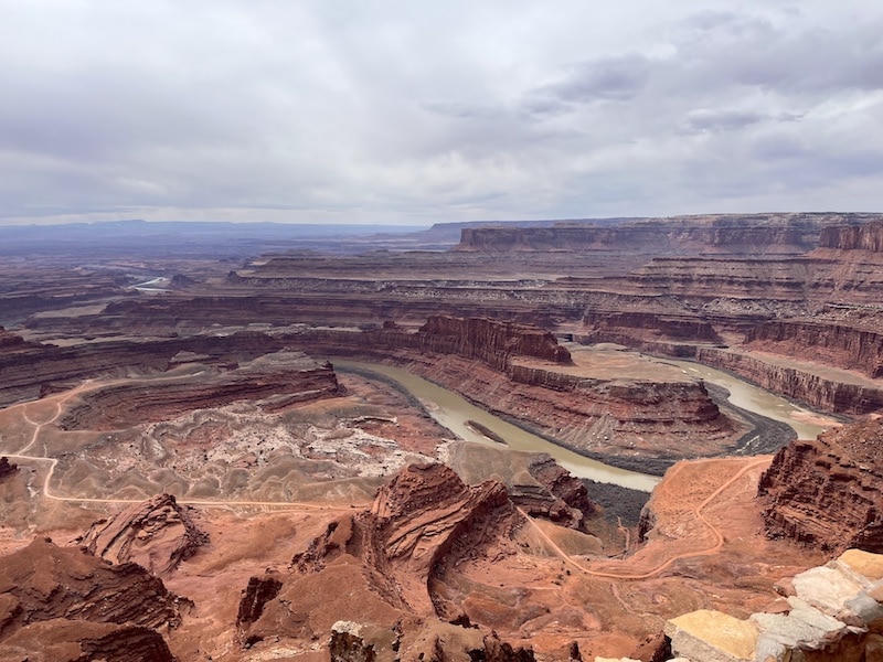 Plate LVI
Dead Horse Point
canyonDead Horse Point State Park, near Moab, Utah
A peninsula of stone hanging over a river that has nowhere to hurry.
38.5° N · 109.7° WOpen plate →
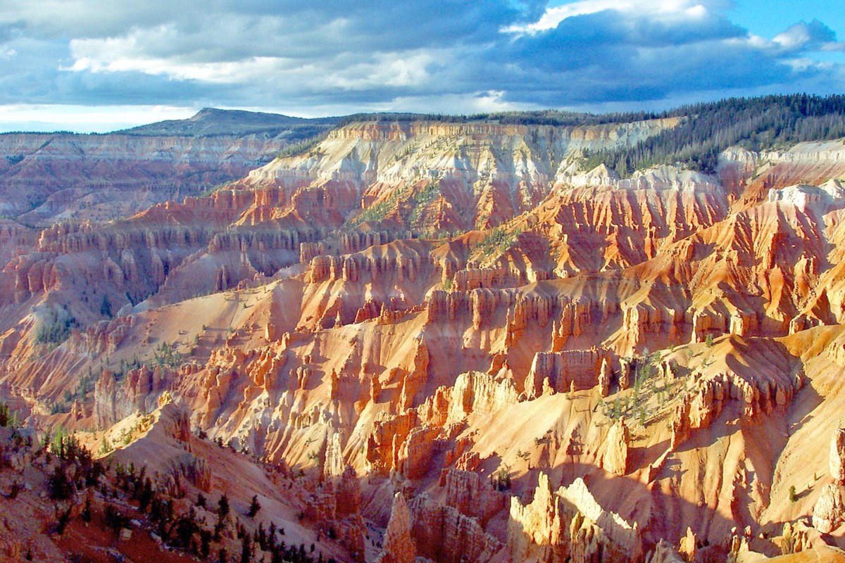 Plate LIX
Cedar Breaks
canyonMarkagunt Plateau, Utah
A Bryce that kept the altitude and lost the crowds.
37.6° N · 112.8° WOpen plate →
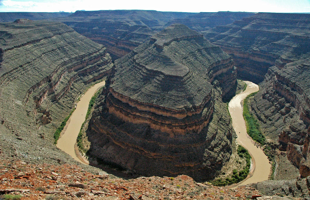 Plate LX
Goosenecks
canyonSan Juan River, near Mexican Hat, Utah
A river that refused to straighten, and cut down instead.
37.2° N · 109.9° WOpen plate →
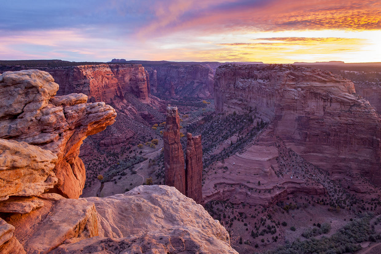 Plate LXII
Canyon de Chelly
canyonNavajo Nation, near Chinle, Arizona
A canyon that is still a home, not only a view.
36.1° N · 109.5° WOpen plate →
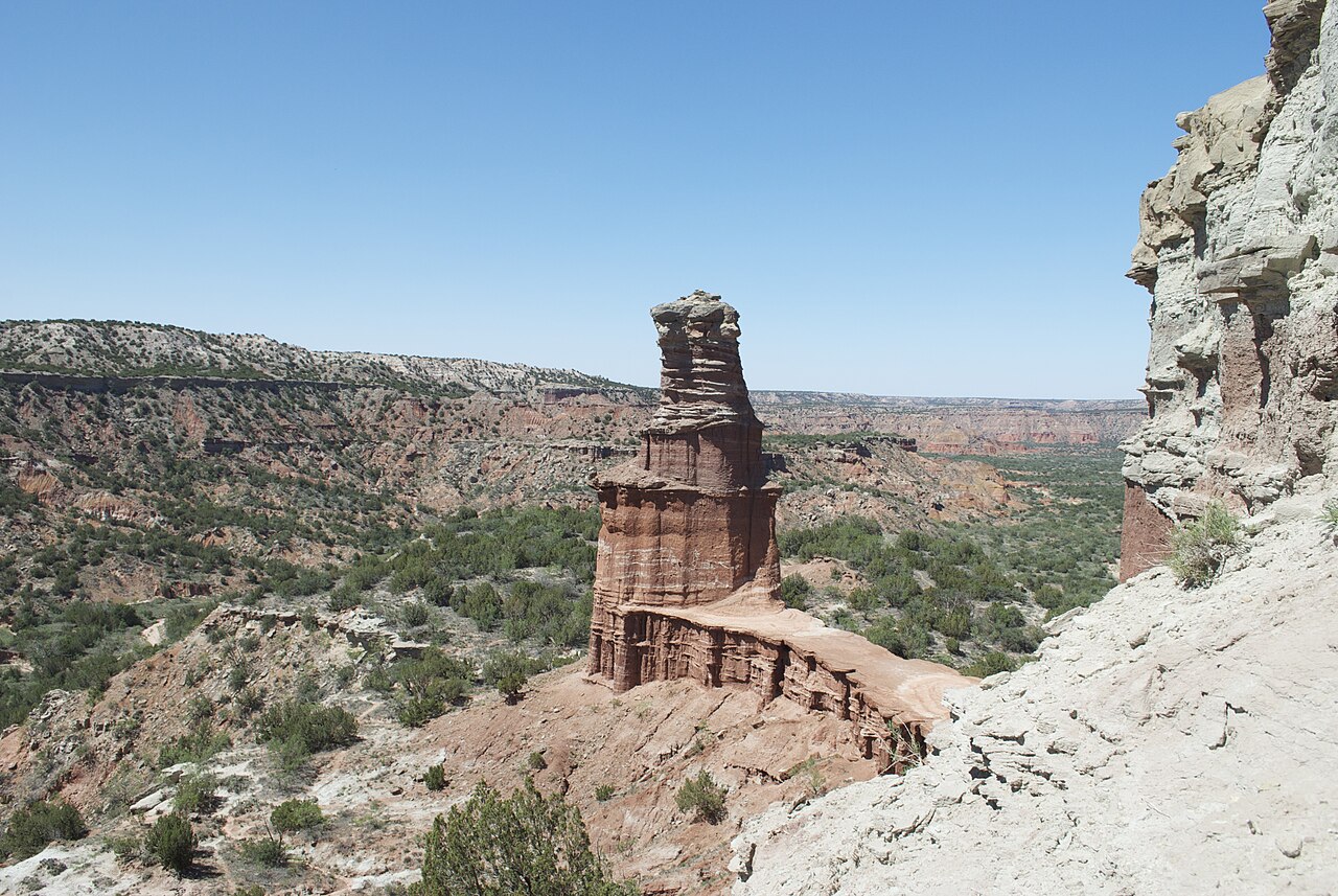 Plate LXVII
Palo Duro Canyon
canyonCaprock Escarpment, Texas Panhandle, Texas
A Grand Canyon the plains kept for themselves.
35.0° N · 101.7° WOpen plate →
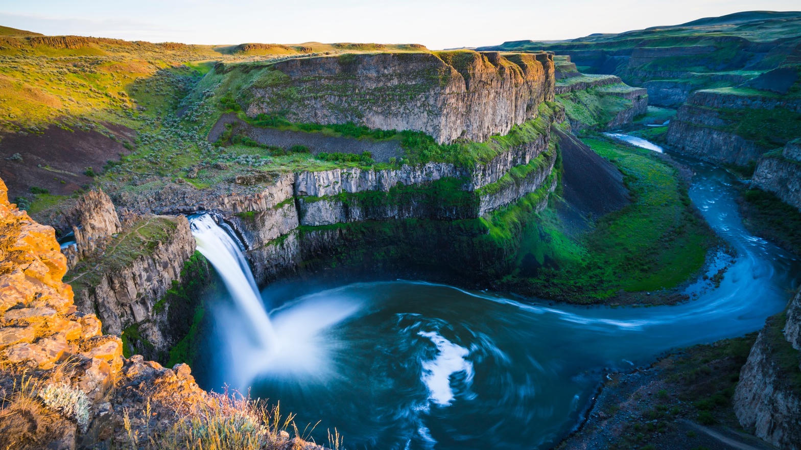 Plate LXX
Palouse Falls
canyonChanneled Scablands, Washington
A flood that ended twelve thousand years ago, still falling.
46.7° N · 118.2° WOpen plate →
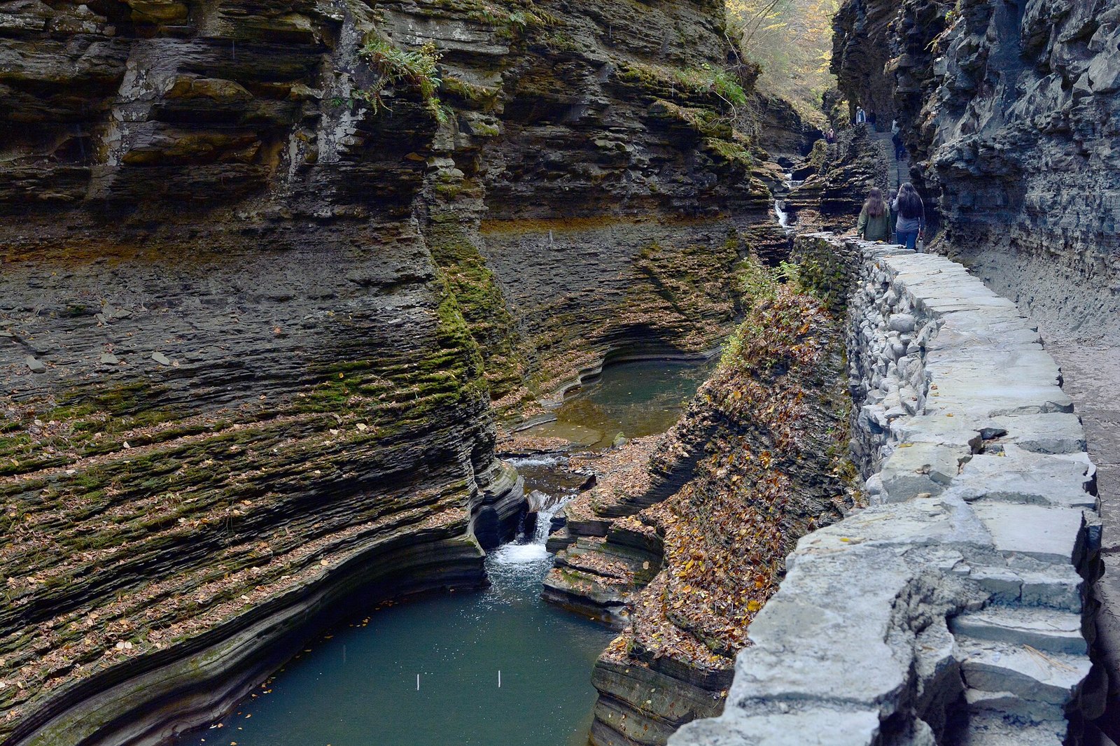 Plate LXXIV
Watkins Glen
canyonFinger Lakes, south end of Seneca, New York
A staircase of water hidden in a fold of New York.
42.4° N · 76.9° WOpen plate →
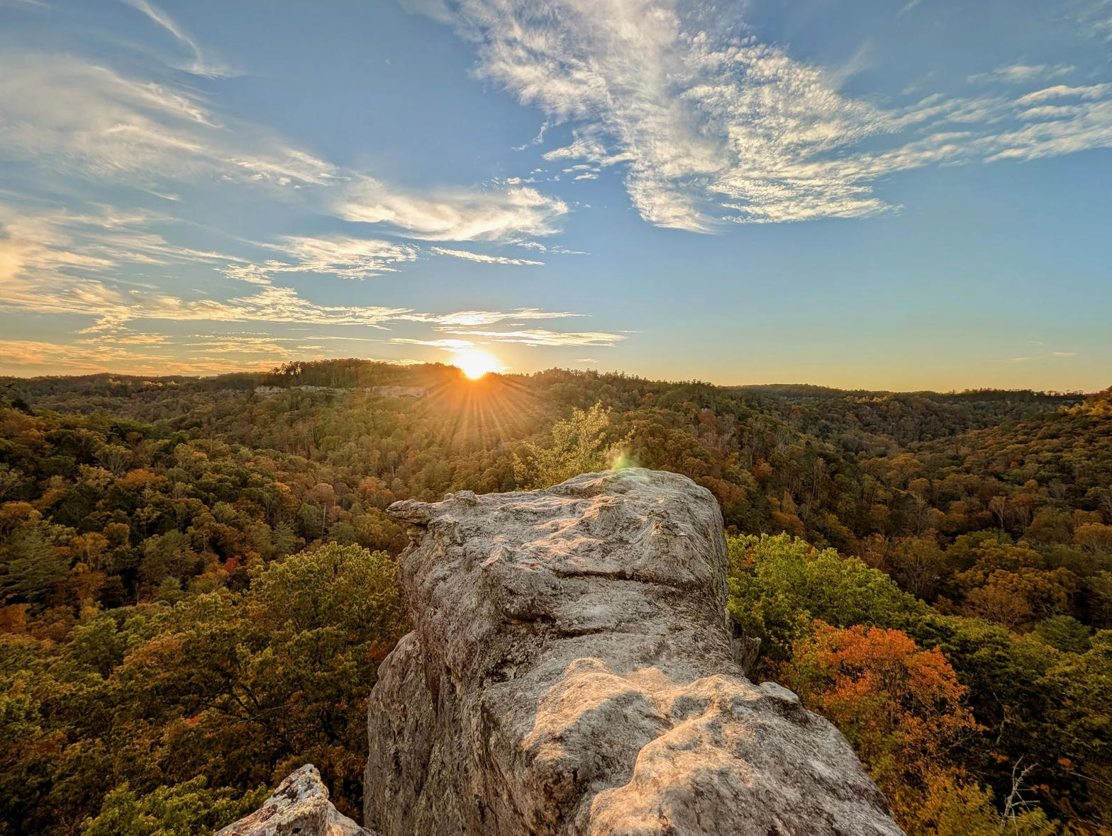 Plate LXXVI
Red River Gorge
canyonDaniel Boone National Forest, Kentucky
A hidden canyon of arches under a Kentucky forest.
37.8° N · 83.6° WOpen plate →
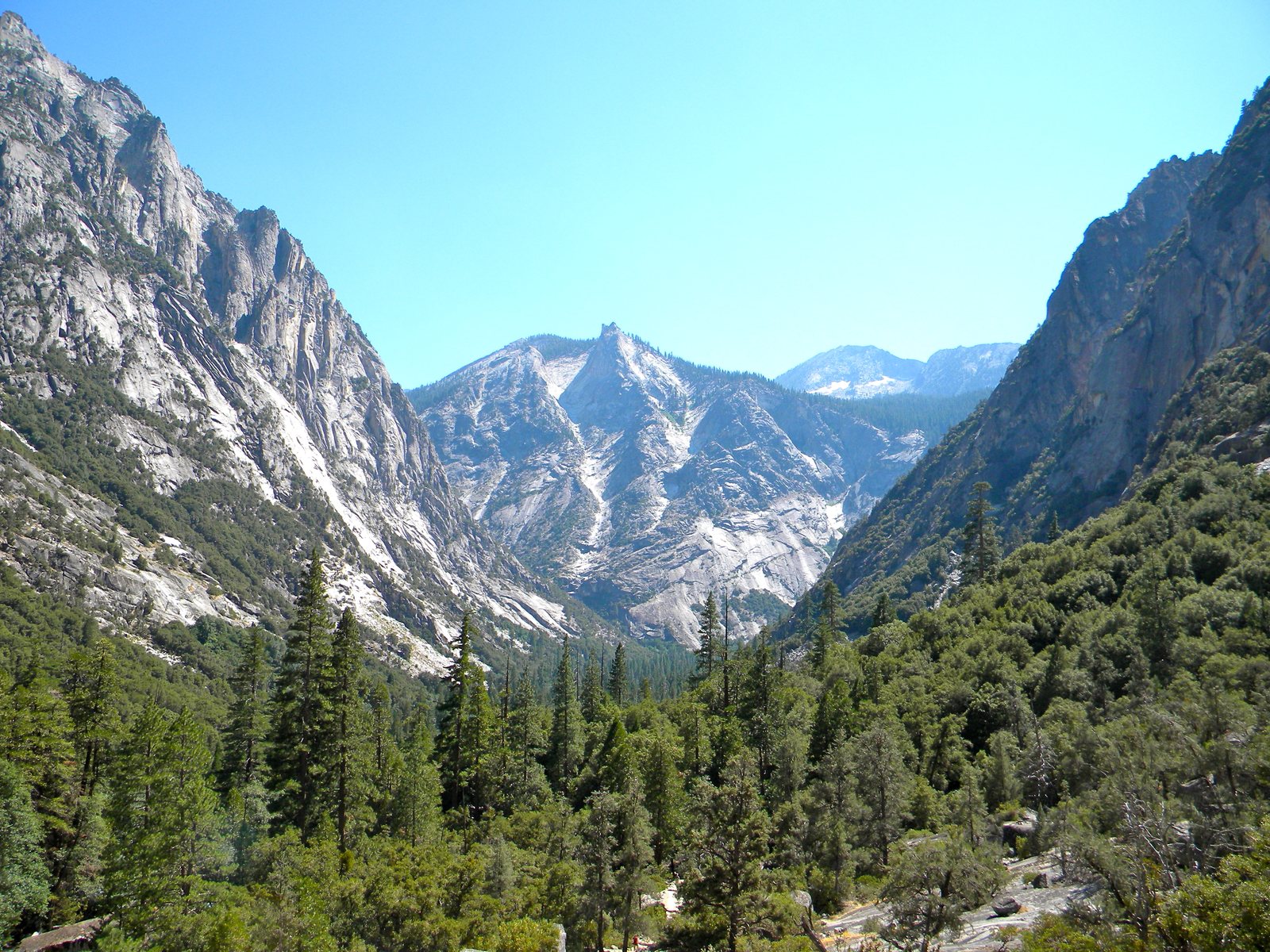 Plate LXXIX
Kings Canyon
canyonSouthern Sierra Nevada, California
A Yosemite that kept the canyon and gave away the crowds.
36.8° N · 118.6° WOpen plate →
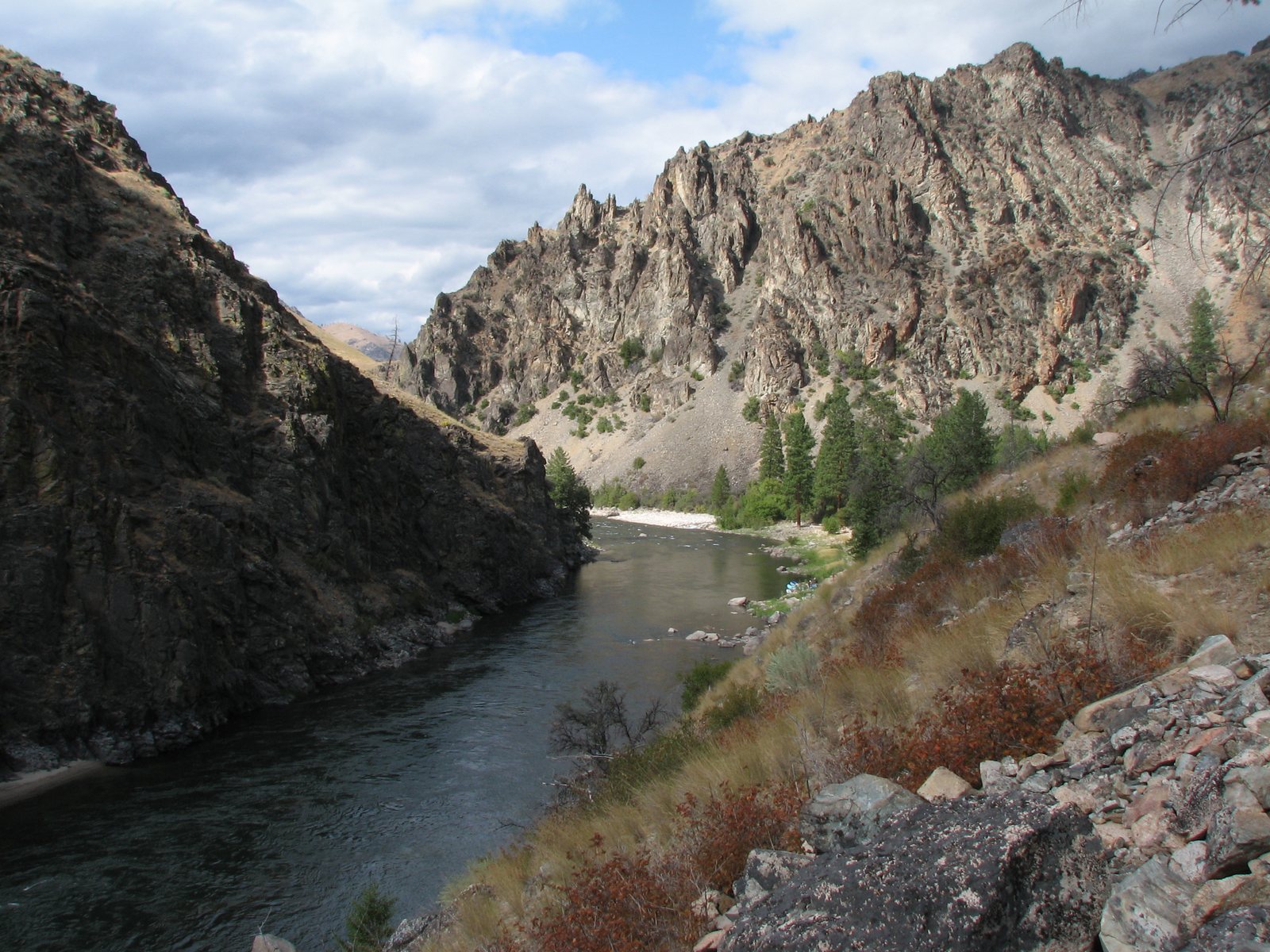 Plate XCI
River of No Return
canyonFrank Church–River of No Return Wilderness, Idaho
A river that named itself by refusing a way back.
44.7° N · 114.8° WOpen plate →
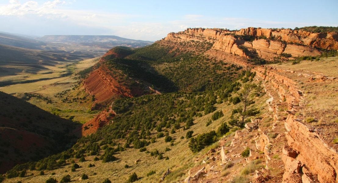 Plate XCVI
Red Canyon
canyonsouth of Lander, Wind River Country, Wyoming
A red book of stone left open beside the highway.
42.7° N · 108.7° WOpen plate →
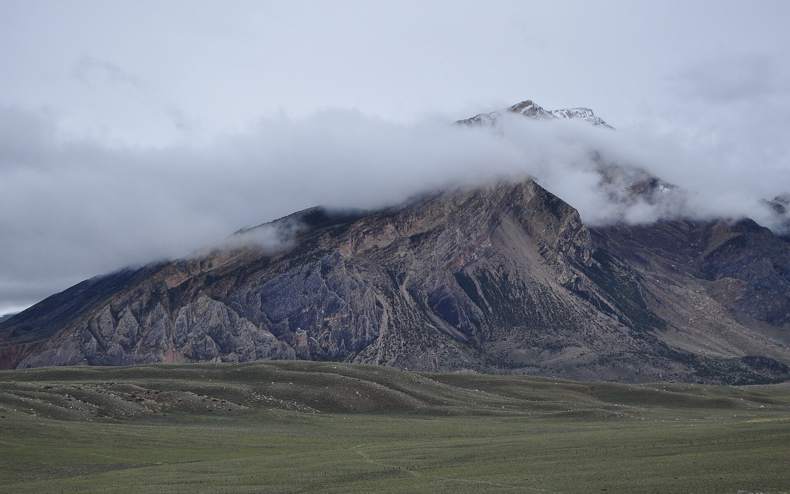 Plate XCVII
Clarks Fork Canyon
canyonClarks Fork of the Yellowstone, Absaroka front, Wyoming
A white canyon the Beartooths cut on their way out.
44.9° N · 109.3° WOpen plate →
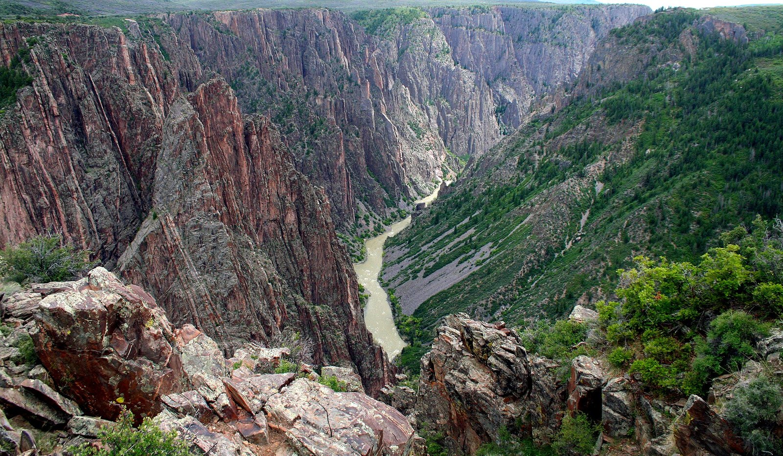 Plate XCVIII
Black Canyon of the Gunnison
canyonGunnison River, Colorado
A canyon so narrow the day never quite arrives.
38.6° N · 107.7° WOpen plate →
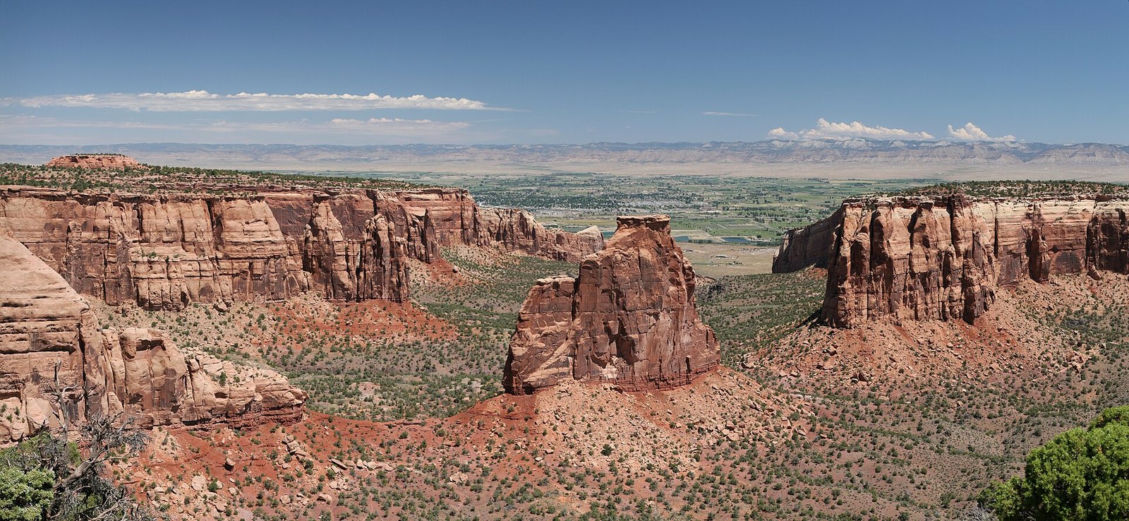 Plate CIII
Colorado National Monument
canyonGrand Valley, near Grand Junction, Colorado
A red canyon country the valley kept for a back wall.
39.0° N · 108.7° WOpen plate →
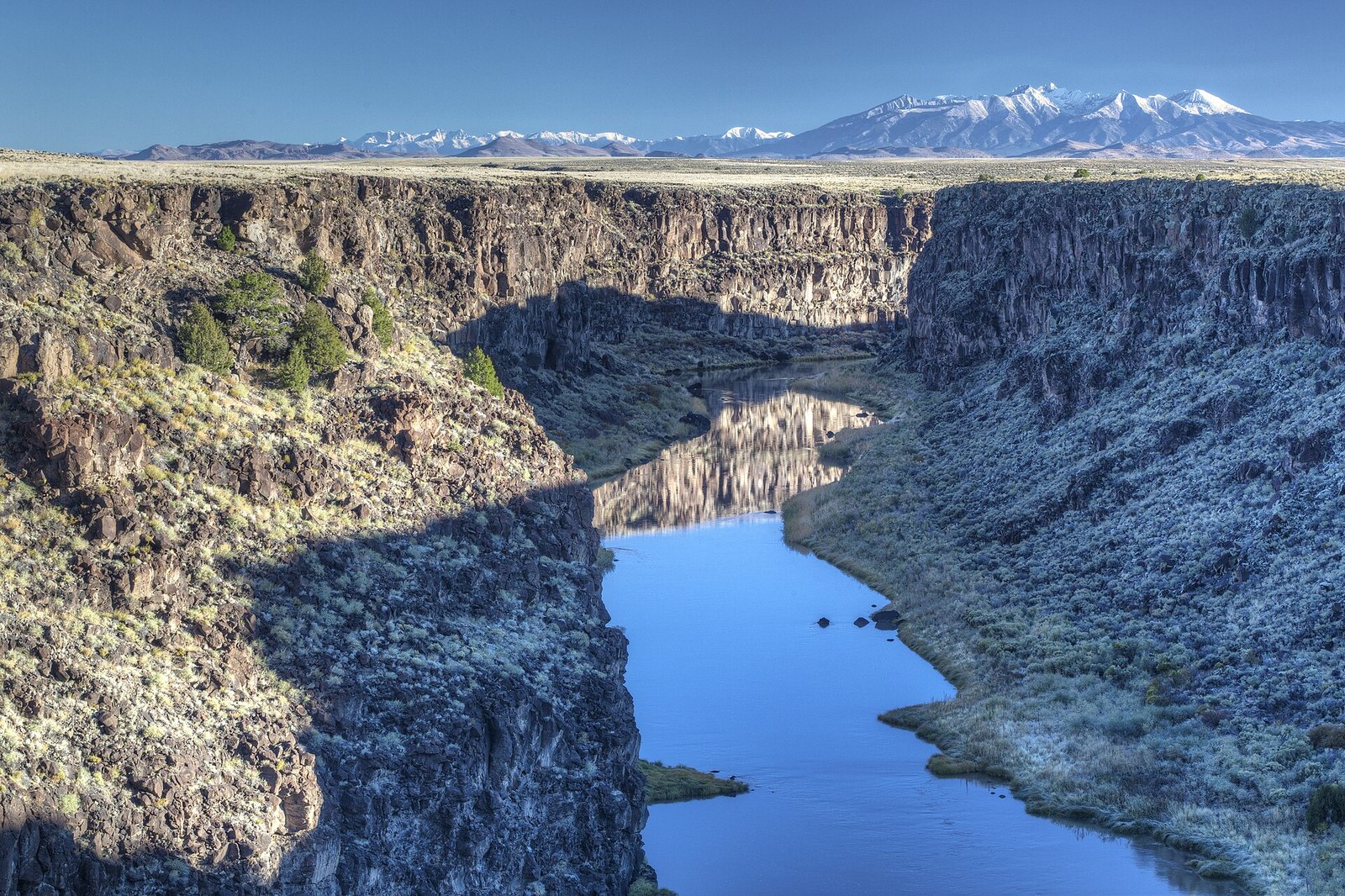 Plate CXVI
Rio Grande Gorge
canyonTaos Plateau, New Mexico
A crack the river opened in a lava floor.
36.5° N · 105.7° WOpen plate →
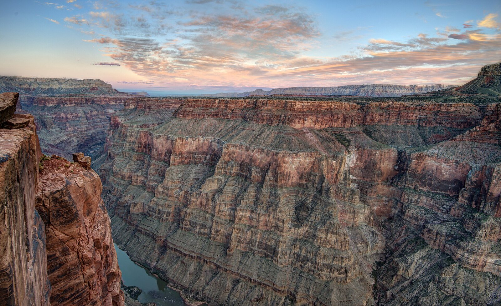 Plate CXXIV
Toroweap Overlook
canyonnorth rim of the Grand Canyon, remote west, Arizona
The canyon without the crowd.
36.2° N · 113.1° WOpen plate →
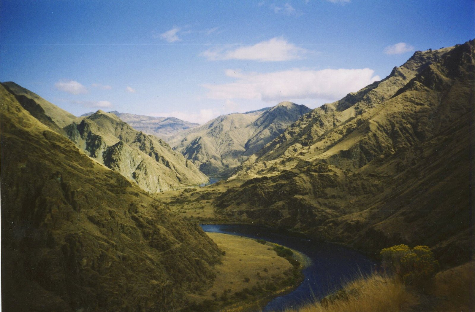 Plate CXXX
Hells Canyon
canyonSnake River, Idaho–Oregon line, Idaho / Oregon
A canyon deeper than the famous one, and quieter.
45.4° N · 116.7° WOpen plate →
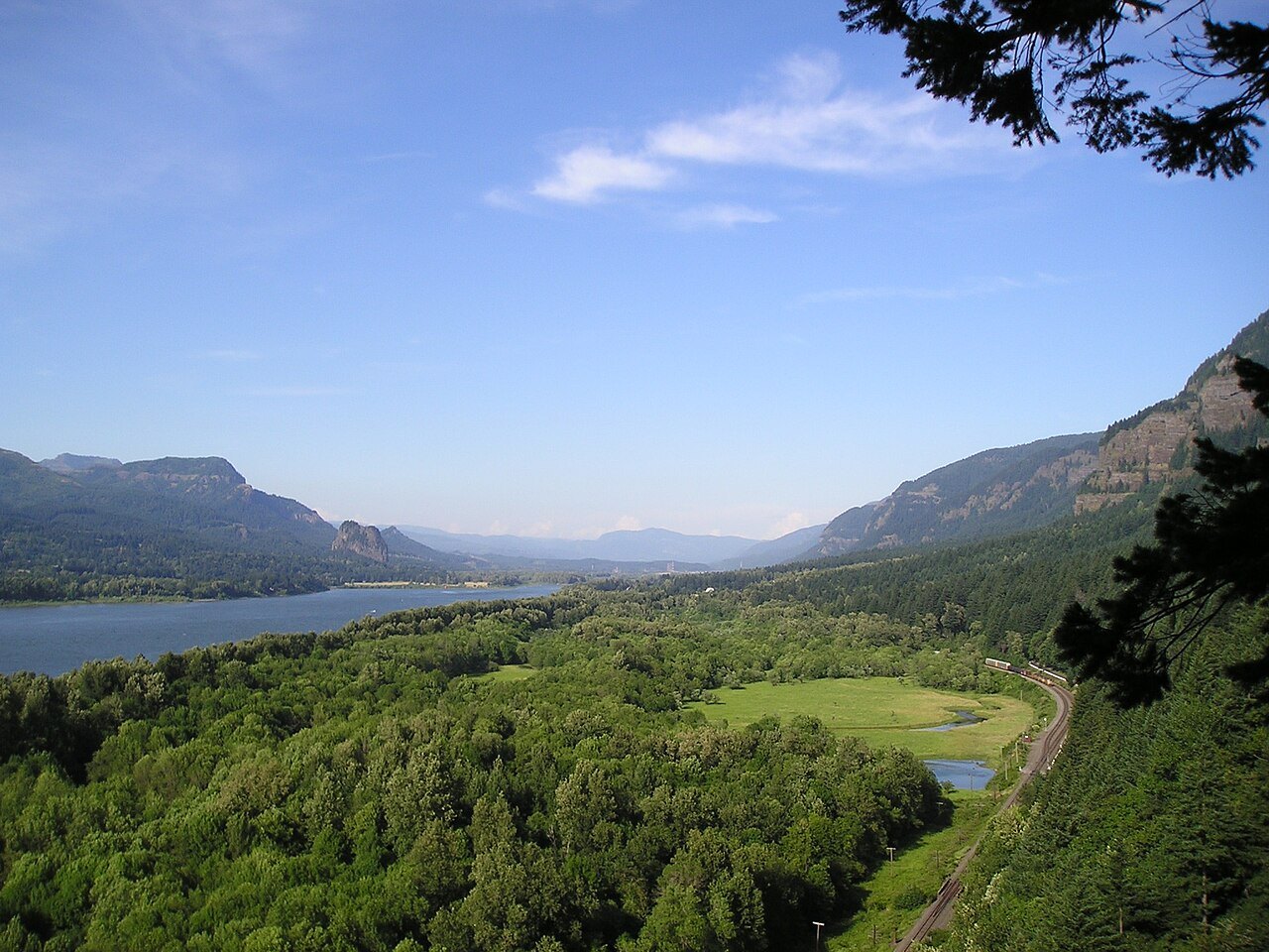 Plate CXLIV
Columbia Gorge
canyonColumbia River, Multnomah Falls to Rowena, Oregon / Washington
The river that opened the mountains to the sea.
45.6° N · 122.1° WOpen plate →
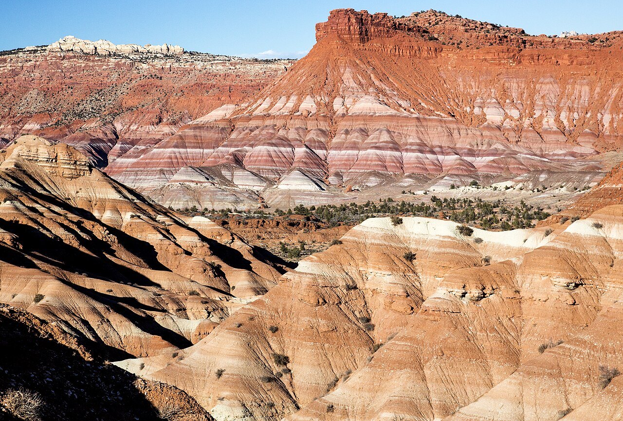 Plate CXLVIII
Calf Creek
canyonGrand Staircase–Escalante, Utah
A waterfall the canyon kept for itself.
37.8° N · 111.4° WOpen plate →
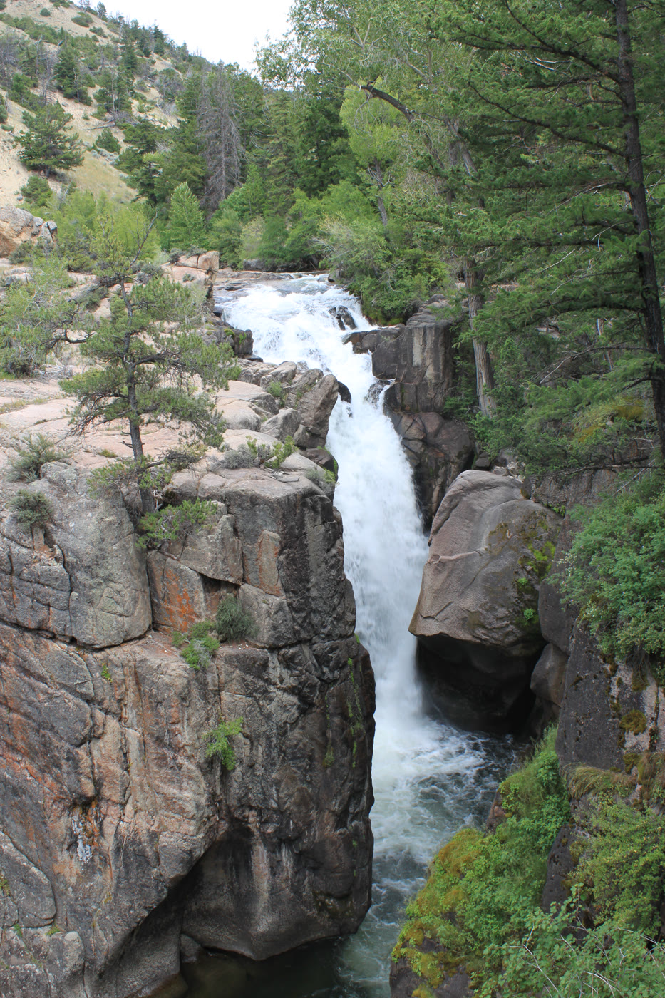 Plate CLIX
Shell Falls
canyonBighorn National Forest, US-14, Wyoming
A short, hard fall the highway stops to hear.
44.6° N · 107.6° WOpen plate →
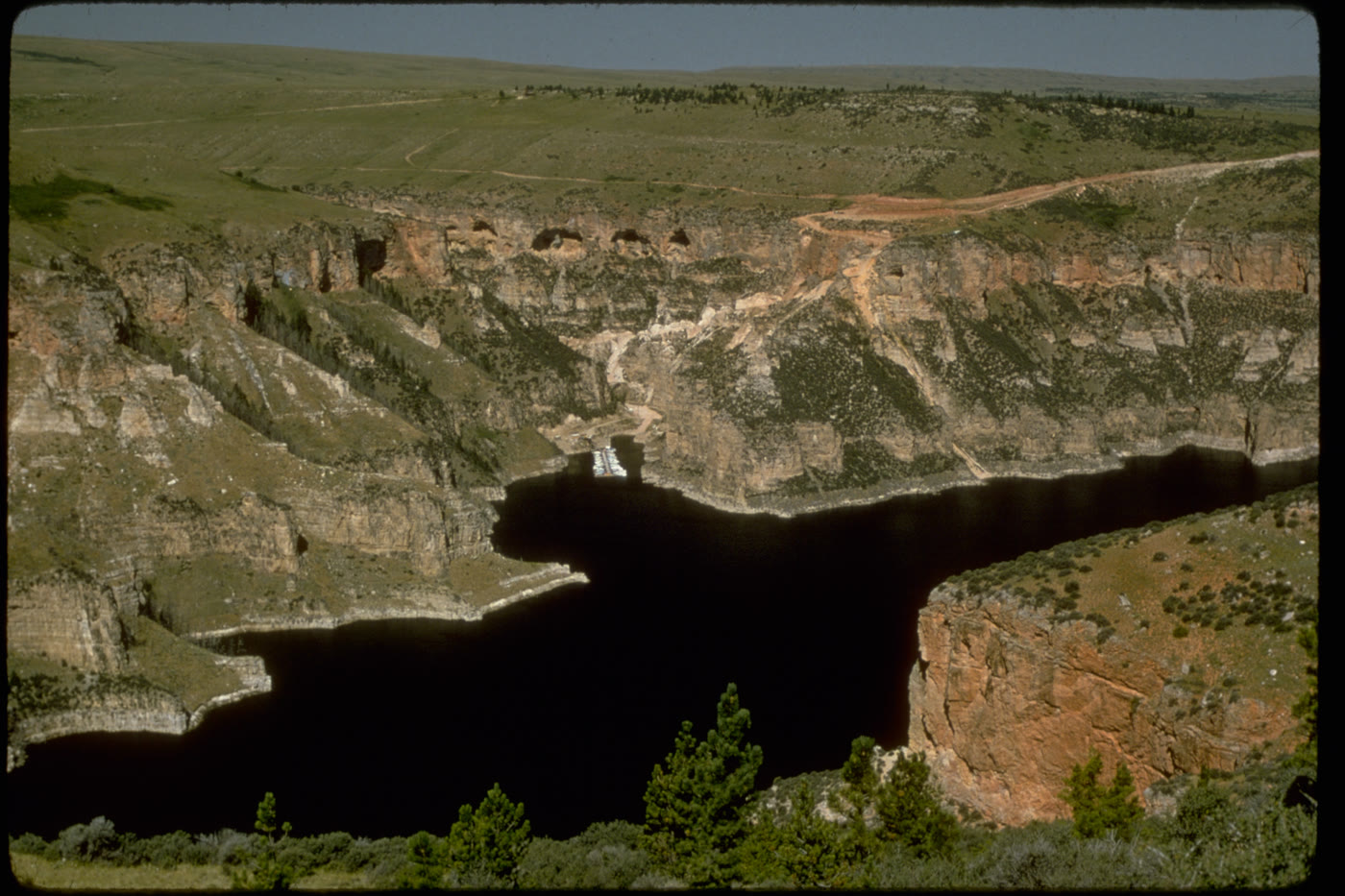 Plate CLX
Bighorn Canyon
canyonBighorn Canyon National Recreation Area, Wyoming / Montana
A canyon the river kept, then a lake filled.
45.0° N · 108.3° WOpen plate →
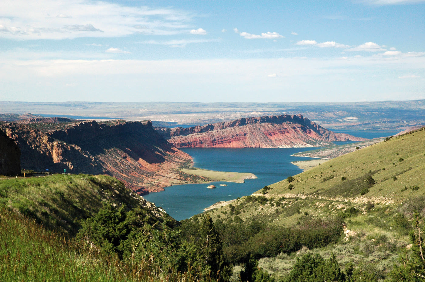 Plate CLXV
Flaming Gorge
canyonFlaming Gorge National Recreation Area, Utah / Wyoming
A red gorge the river turned into a lake.
40.9° N · 109.4° WOpen plate →
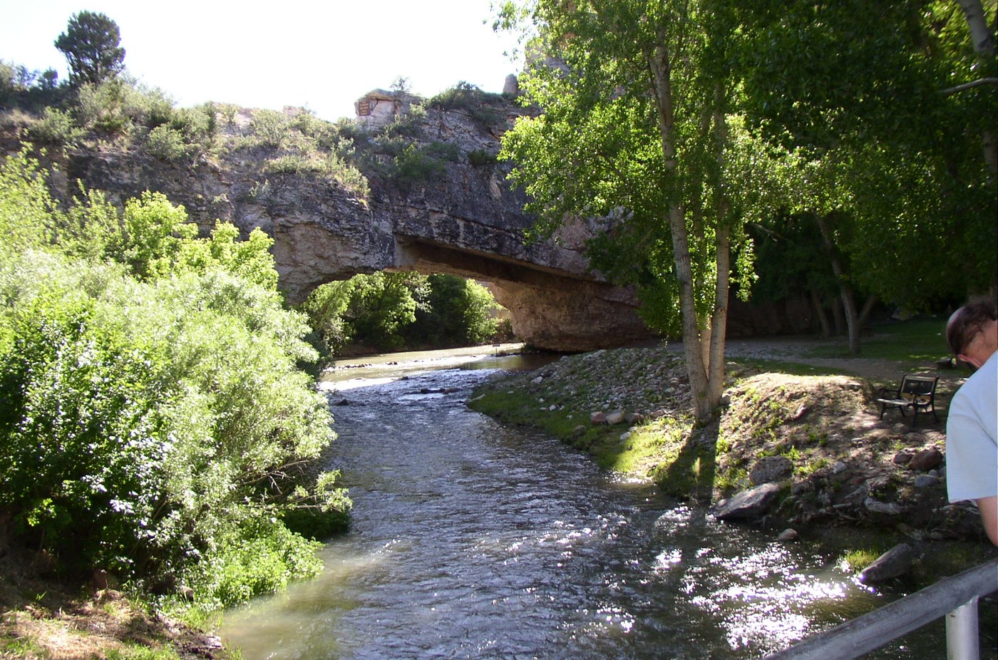 Plate CLXVIII
Ayres Natural Bridge
canyonwest of Douglas, Converse County, Wyoming
A stone span the creek refused to go around.
42.7° N · 105.6° WOpen plate →
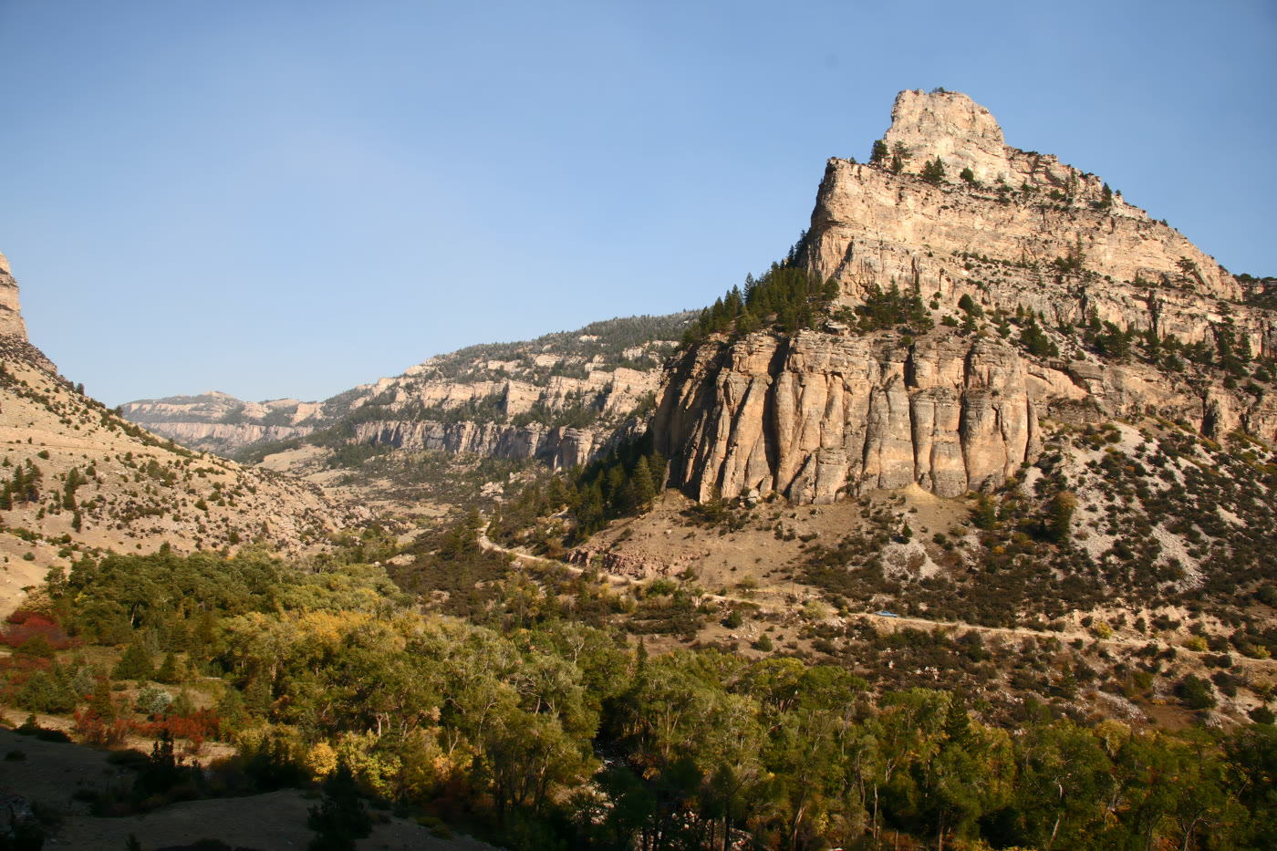 Plate CLXXII
Tensleep Canyon
canyonBighorn National Forest, US-16, Wyoming
A limestone hall the highway had to ask.
44.1° N · 107.3° WOpen plate →
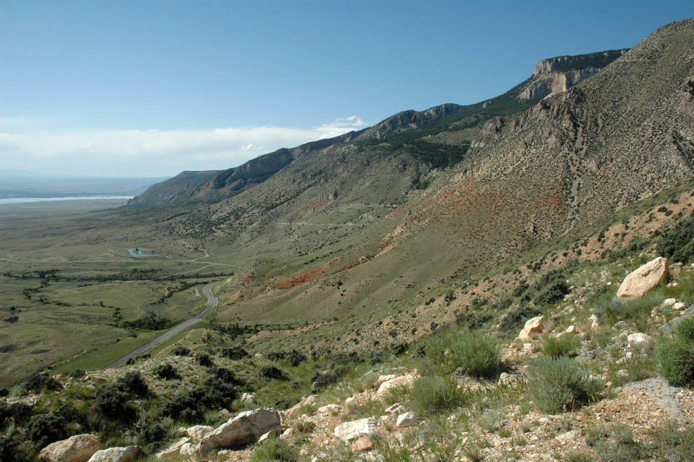 Plate CLXXIV
Medicine Wheel Passage
canyonUS-14A, west rim of the Bighorns, Wyoming
The west door of the mountains.
44.8° N · 107.9° WOpen plate →
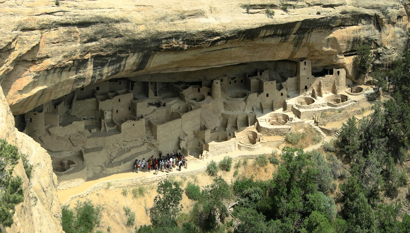 Plate CLXXXII
Mesa Verde
canyonCliff Palace, Mesa Verde National Park, Colorado
A village the cliff still holds.
37.2° N · 108.5° WOpen plate →
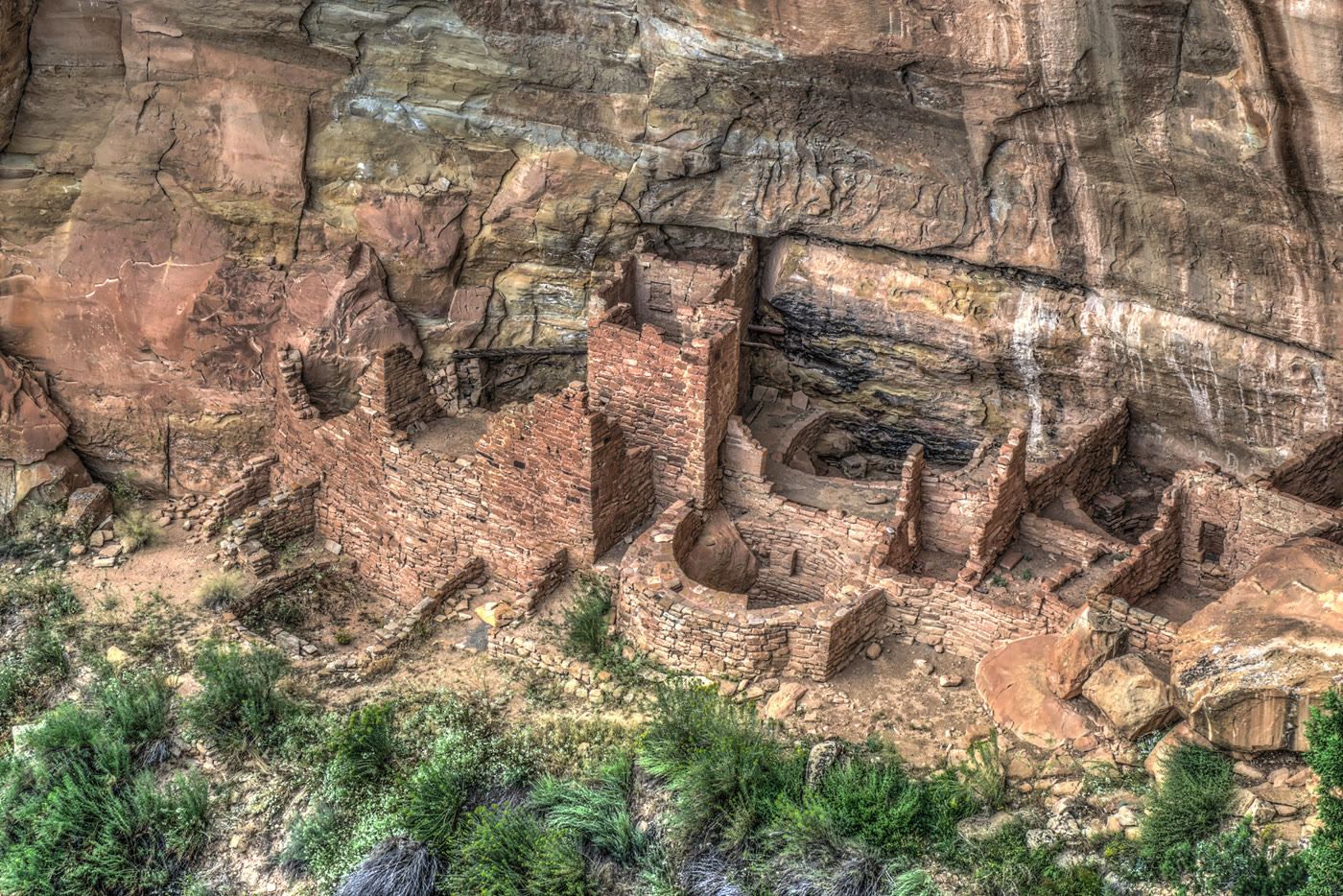 Plate CLXXXIII
Square Tower House
canyonMesa Verde National Park, Colorado
A tower the alcove kept standing.
37.2° N · 108.5° WOpen plate →
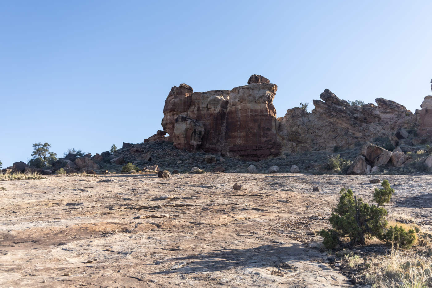 Plate CLXXXIV
Canyons of the Ancients
canyonwest of Cortez, BLM, Colorado
Homes set into red stone west of Cortez.
37.4° N · 109.0° WOpen plate →
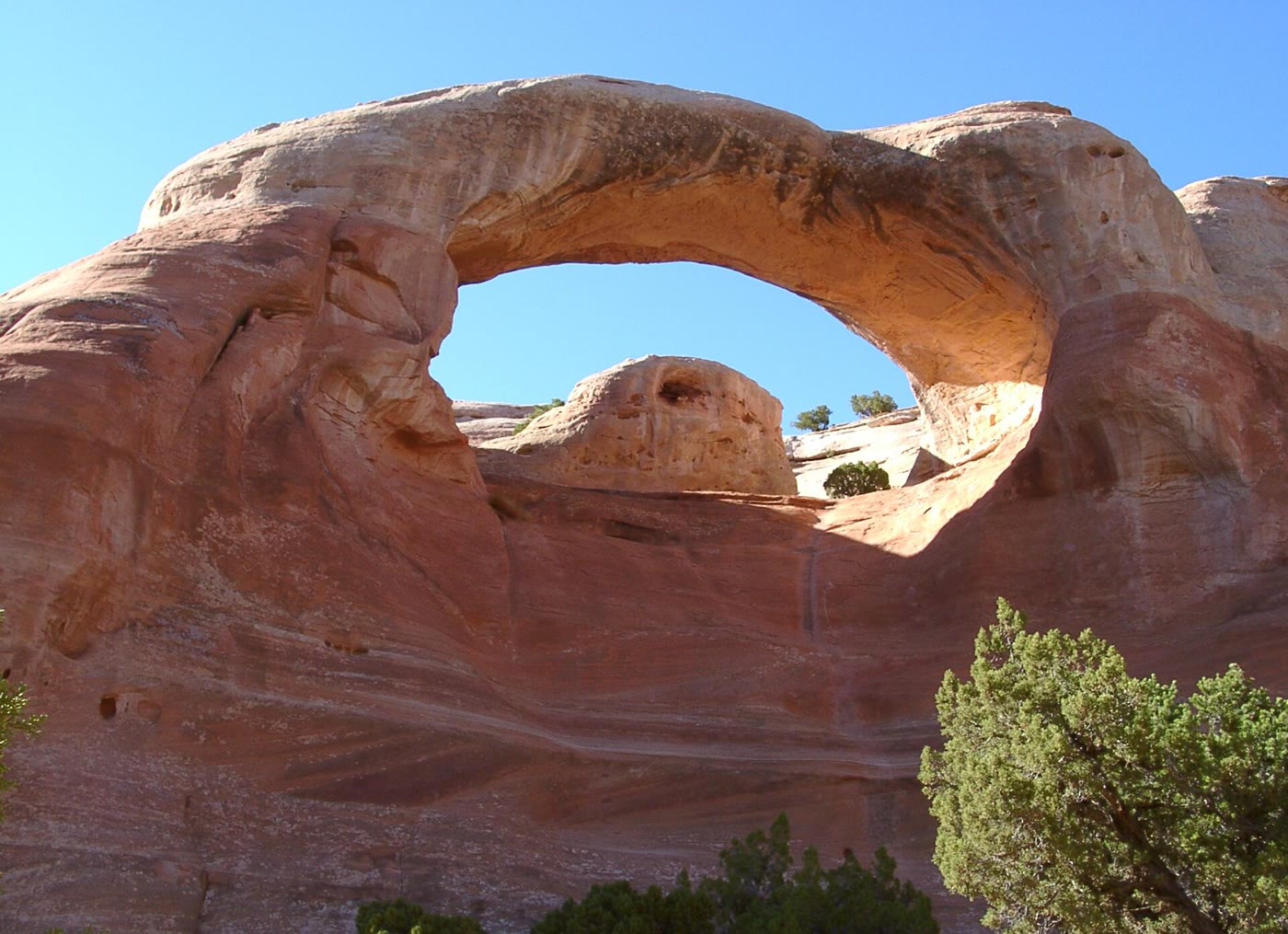 Plate CLXXXVII
Rattlesnake Canyon
canyonMcInnis Canyons NCA, west of Grand Junction, Colorado
A red window the canyon cut and kept.
39.2° N · 108.9° WOpen plate →
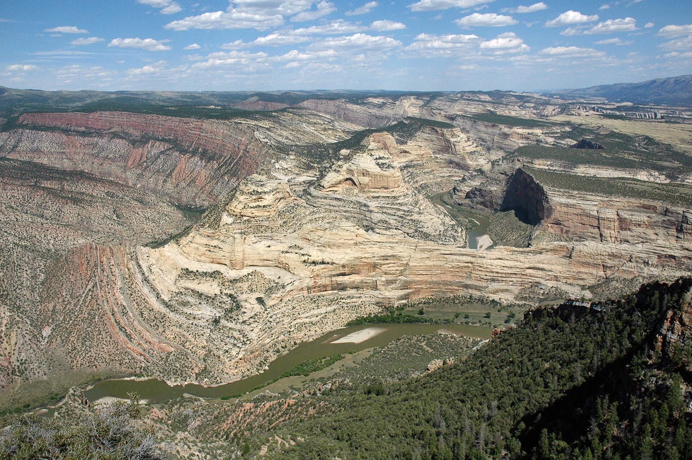 Plate CLXXXVIII
Harper's Corner
canyonEcho Park, Dinosaur National Monument, Colorado
A river that learned to go around a ship of stone.
40.5° N · 109.0° WOpen plate →
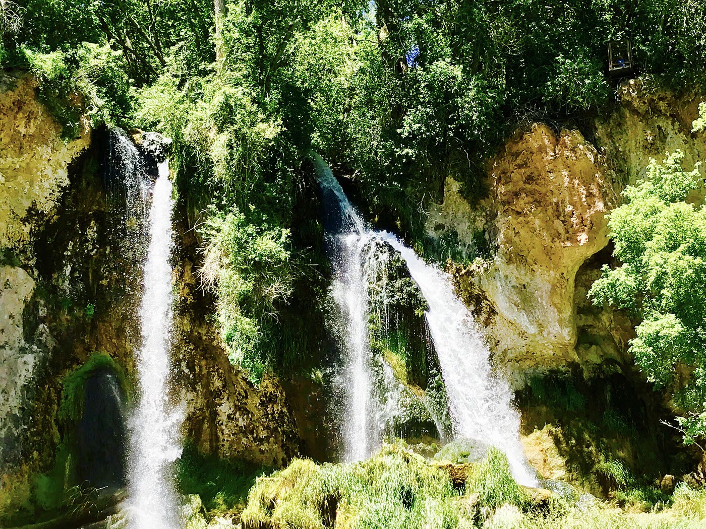 Plate CLXXXIX
Rifle Falls
canyonEast Rifle Creek, Colorado
Three white ropes the limestone let go.
39.7° N · 107.7° WOpen plate →
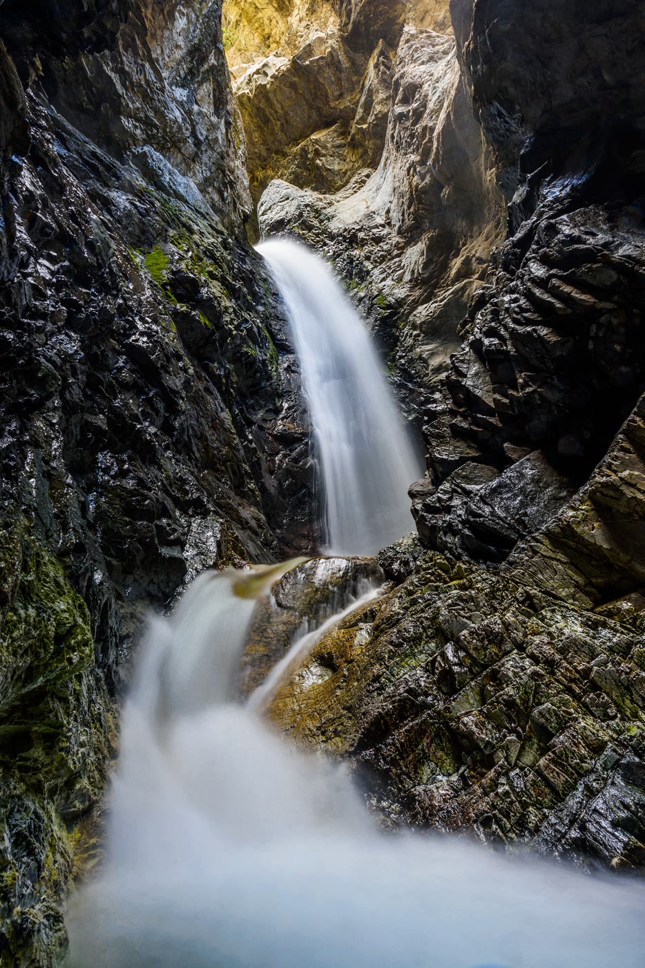 Plate CXC
Zapata Falls
canyonnear Great Sand Dunes, Colorado
A white fall the mountain hid in a crack.
37.6° N · 105.6° WOpen plate →
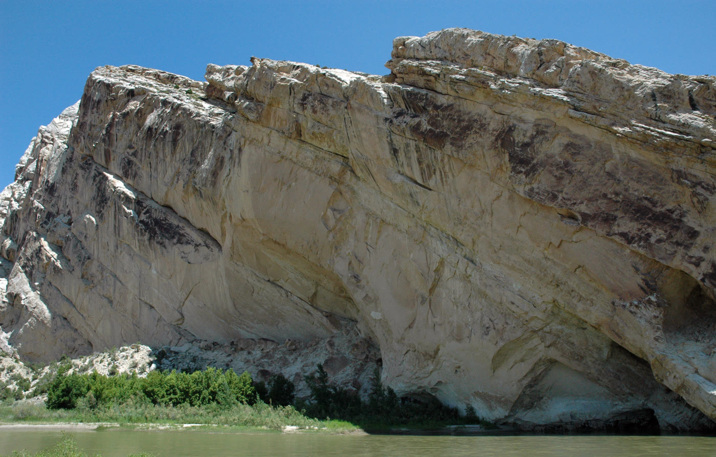 Plate CCIV
Split Mountain
canyonDinosaur National Monument, Jensen, Utah
A mountain the river learned to cut in two.
40.4° N · 109.3° WOpen plate →
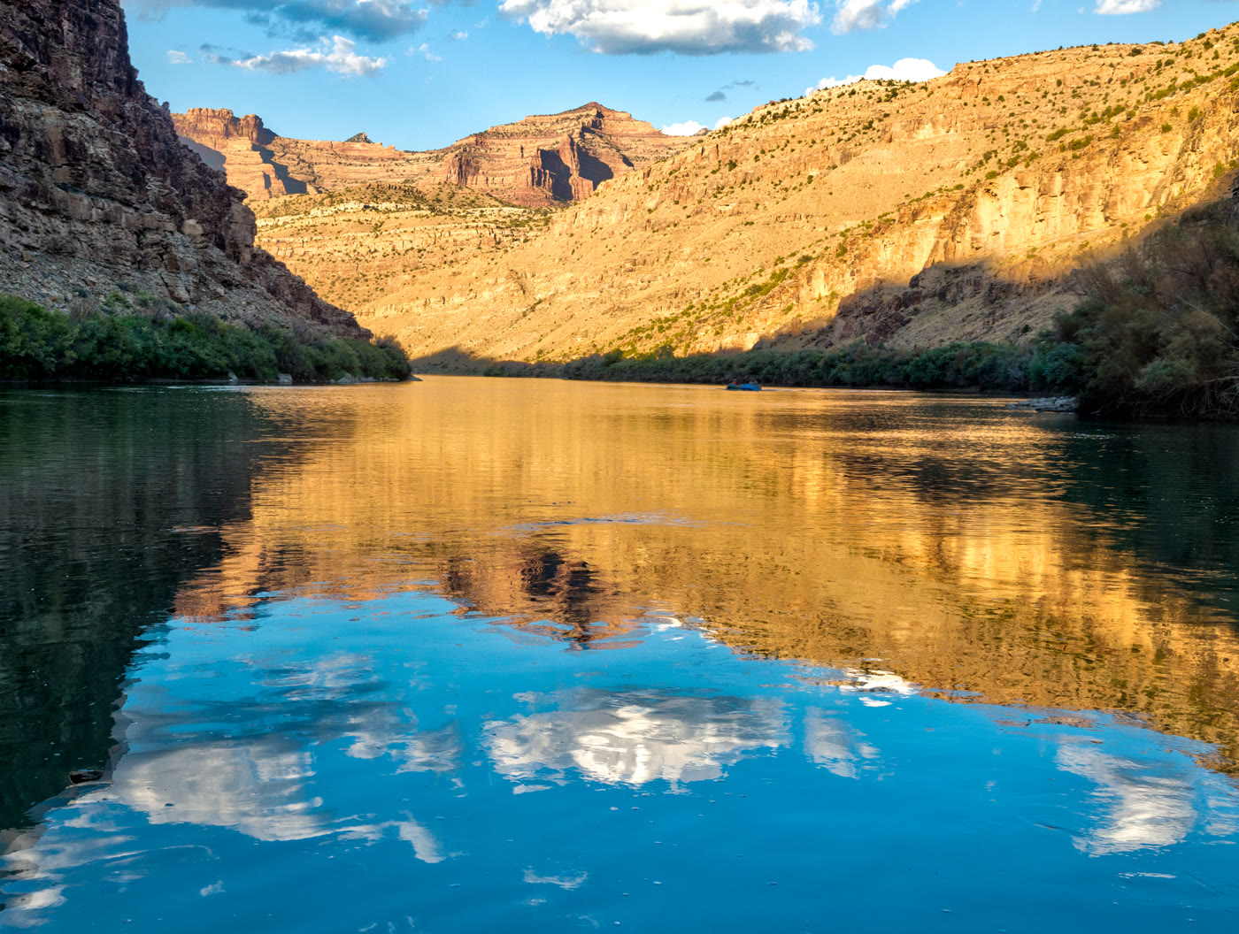 Plate CCV
Desolation Canyon
canyonGreen River, Utah
A river that kept its own distance.
39.5° N · 110.0° WOpen plate →
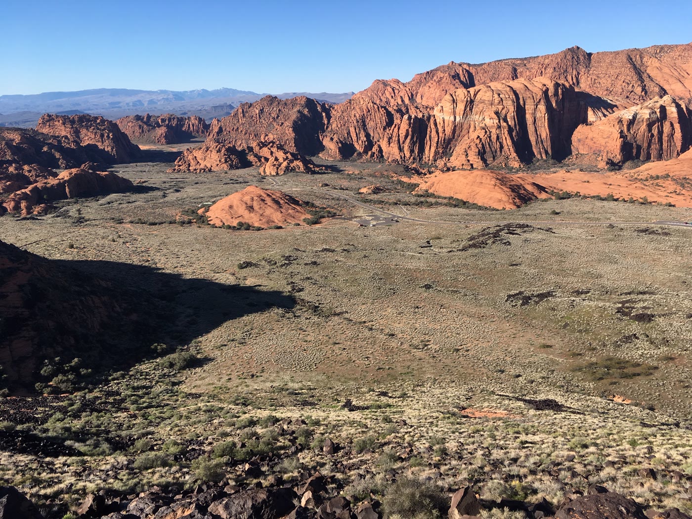 Plate CCVII
Snow Canyon
canyonSnow Canyon State Park, Utah
Red stone and a black river of rock.
37.2° N · 113.6° WOpen plate →
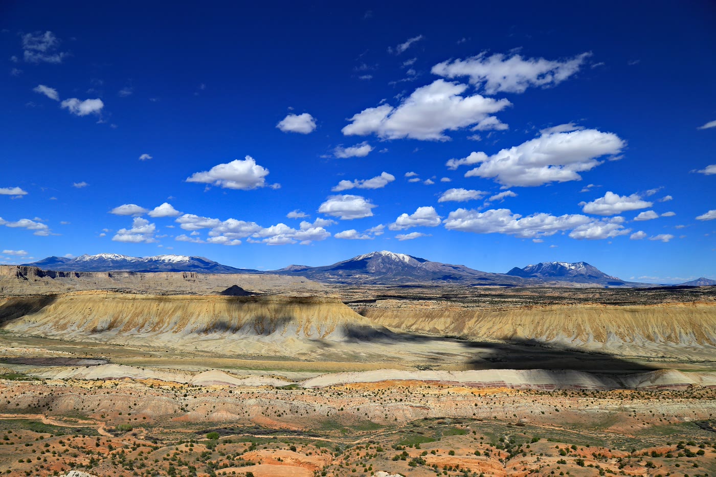 Plate CCVIII
Waterpocket Fold
canyonStrike Valley Overlook, Capitol Reef, Utah
A hundred miles of stone stood on edge.
37.8° N · 111.0° WOpen plate →
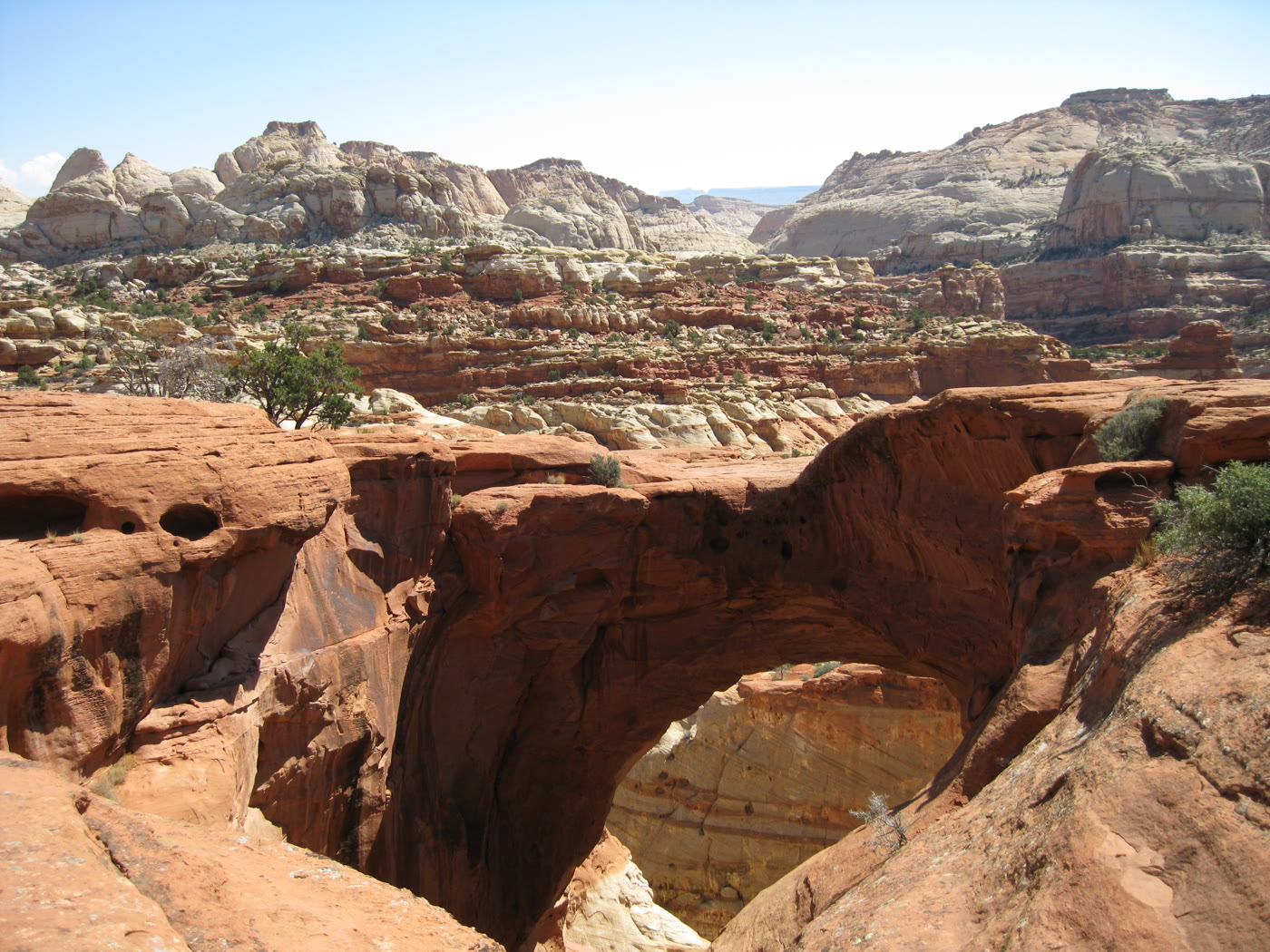 Plate CCIX
Cassidy Arch
canyonCapitol Reef National Park, Utah
An arch you look down through.
38.3° N · 111.2° WOpen plate →
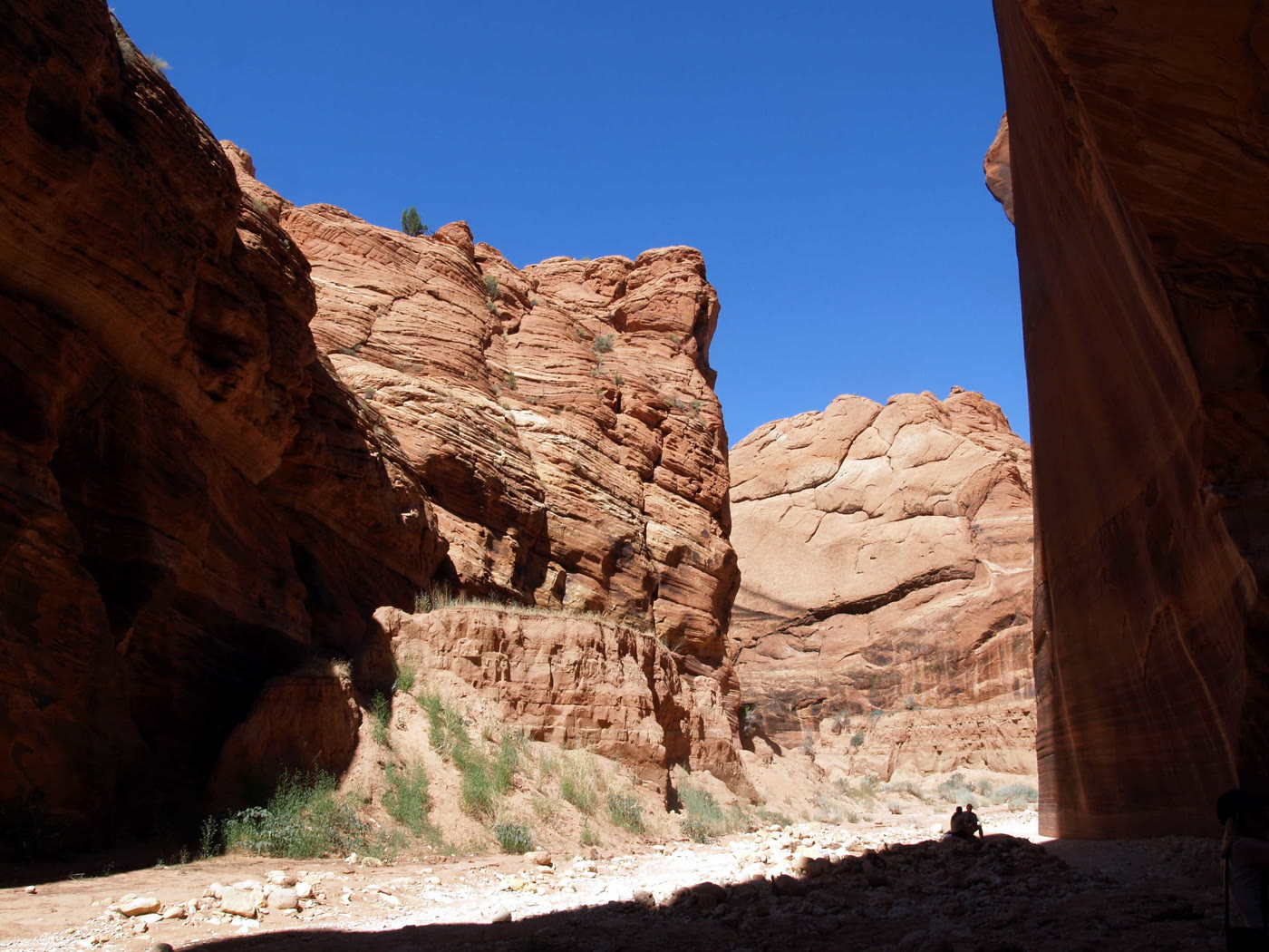 Plate CCX
Buckskin Gulch
canyonParia Canyon–Vermilion Cliffs, Utah
A slot that does not end soon.
37.0° N · 112.0° WOpen plate →
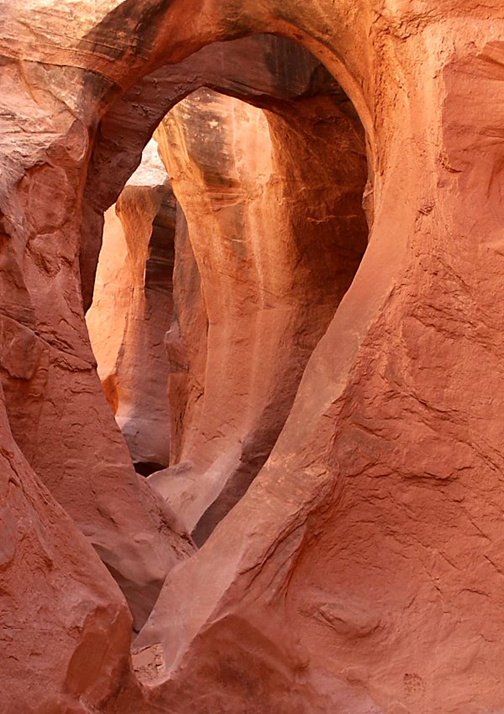 Plate CCXI
Peekaboo Gulch
canyonDry Fork of Coyote Gulch, GSENM, Utah
A window the slot kept for itself.
37.5° N · 111.2° WOpen plate →
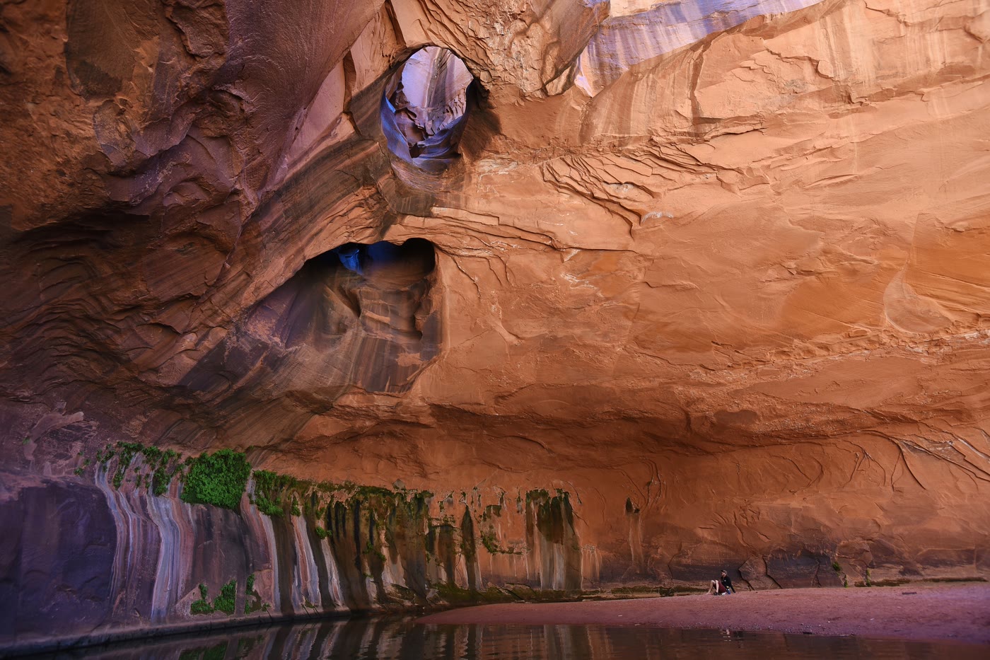 Plate CCXII
Golden Cathedral
canyonNeon Canyon, Glen Canyon NRA, Utah
A room the potholes lit from above.
37.7° N · 111.0° WOpen plate →
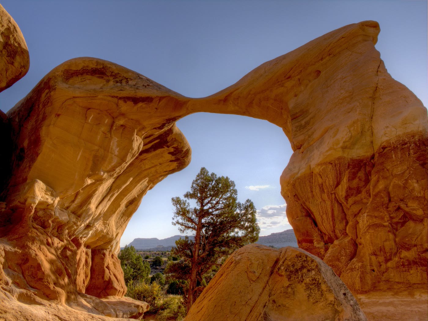 Plate CCXIII
Metate Arch
canyonDevil's Garden, Grand Staircase–Escalante, Utah
A blade of stone the wind left standing.
37.6° N · 111.4° WOpen plate →
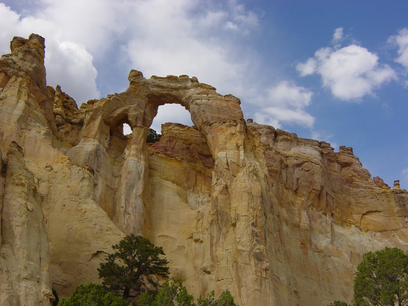 Plate CCXIV
Grosvenor Arch
canyonGrand Staircase–Escalante, Utah
Two windows in one cream wall.
37.5° N · 111.8° WOpen plate →
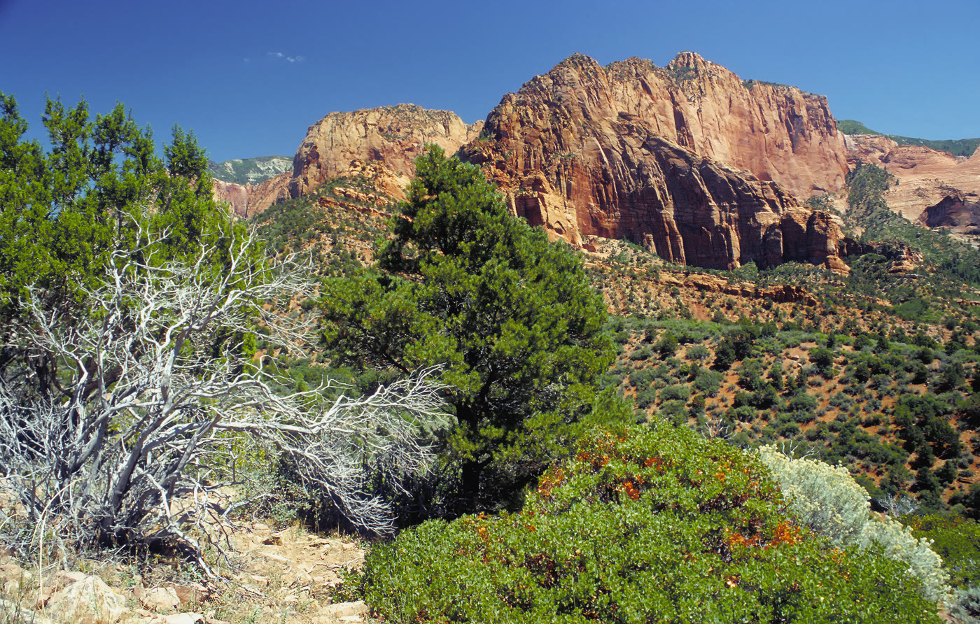 Plate CCXV
Kolob Canyons
canyonZion National Park, north, Utah
Zion’s north wall, fingered into the plateau.
37.4° N · 113.2° WOpen plate →
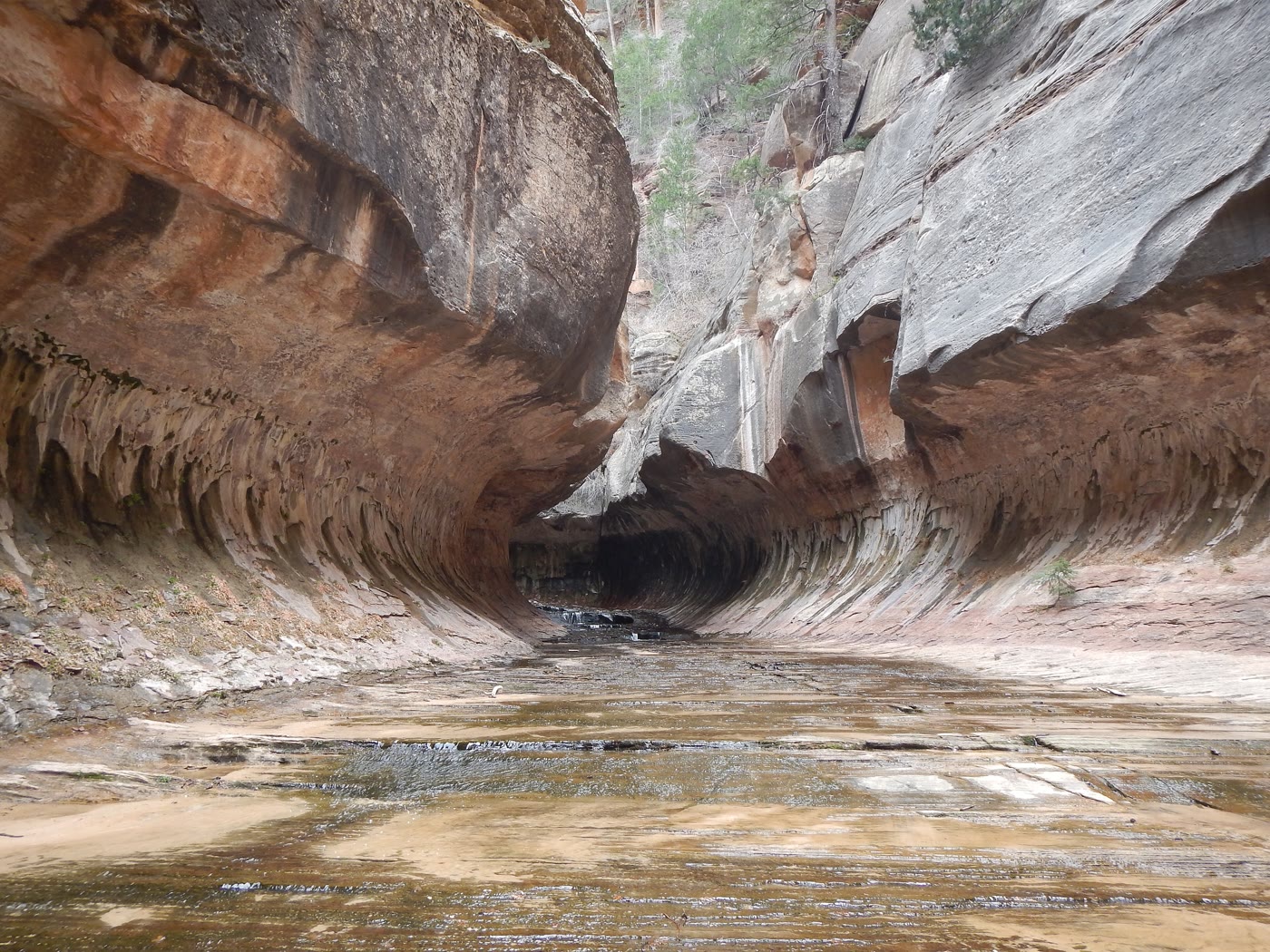 Plate CCXVI
The Subway
canyonLeft Fork of North Creek, Zion, Utah
A tunnel the creek carved and kept.
37.3° N · 113.1° WOpen plate →
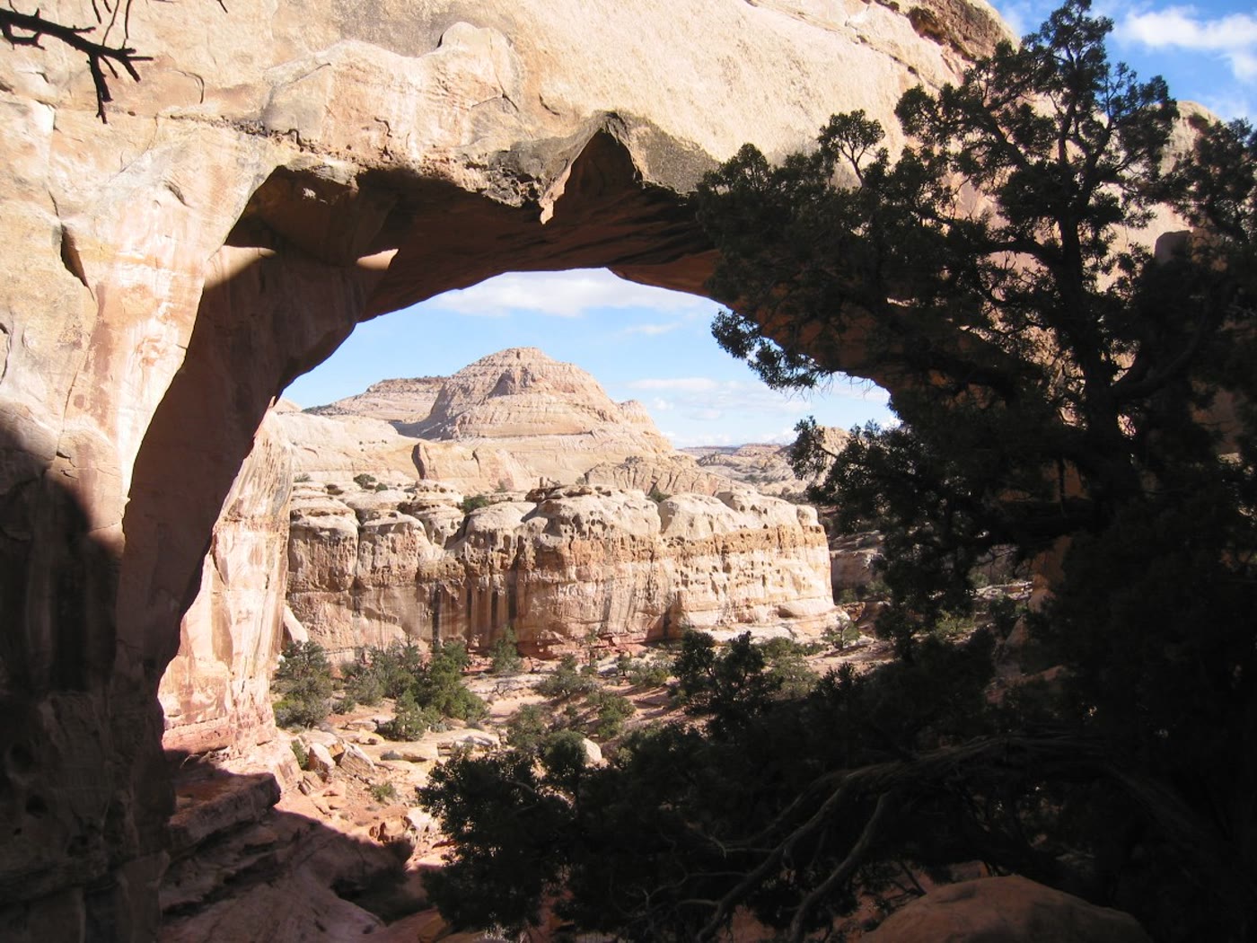 Plate CCXIX
Hickman Bridge
canyonCapitol Reef National Park, Utah
A cream bridge the wash walked under.
38.3° N · 111.2° WOpen plate →
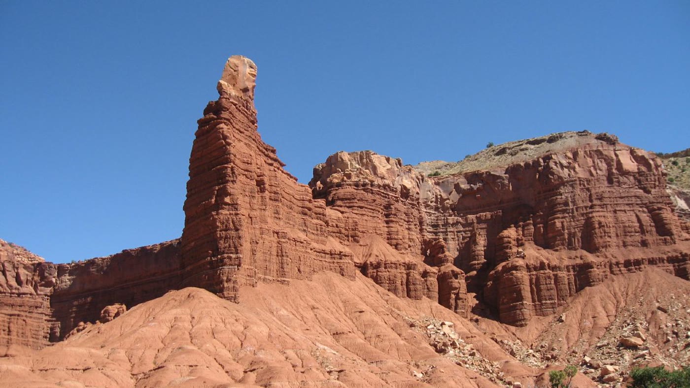 Plate CCXX
Chimney Rock, Capitol Reef
canyonCapitol Reef National Park, Utah
A chimney the Reef stood alone.
38.3° N · 111.3° WOpen plate →
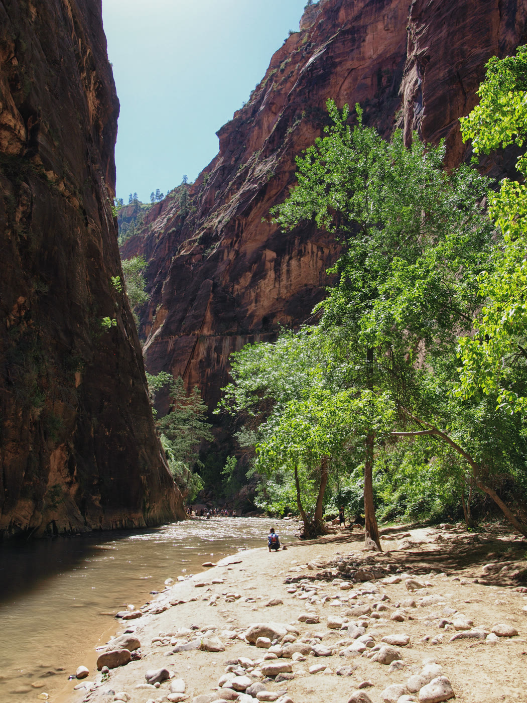 Plate CCXXI
The Narrows
canyonNorth Fork Virgin River, Zion, Utah
A cathedral you walk in the river.
37.3° N · 112.9° WOpen plate →
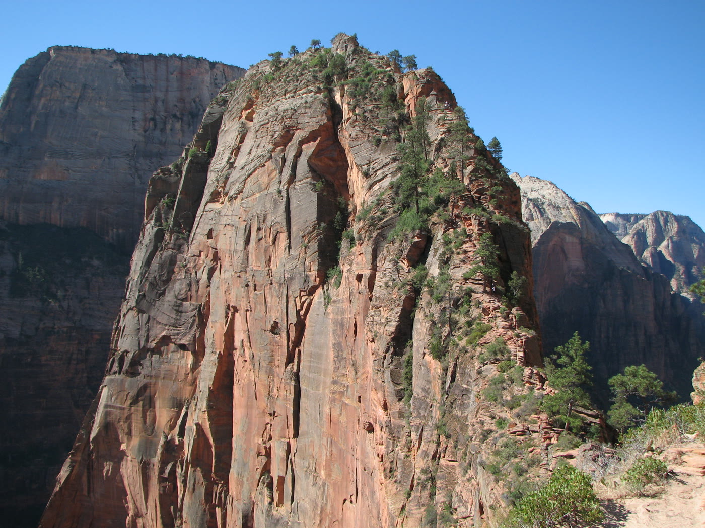 Plate CCXXIII
Angels Landing
canyonZion Canyon, Utah
A ridge that keeps only as much path as it must.
37.3° N · 112.9° WOpen plate →
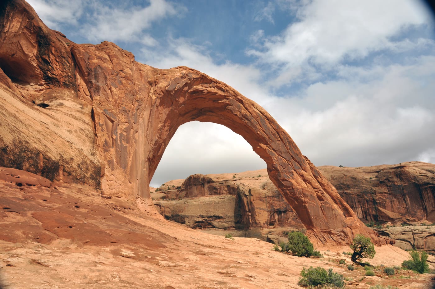 Plate CCXXV
Corona Arch
canyonMoab backcountry, Utah
A crown the cliff wore and opened.
38.6° N · 109.6° WOpen plate →
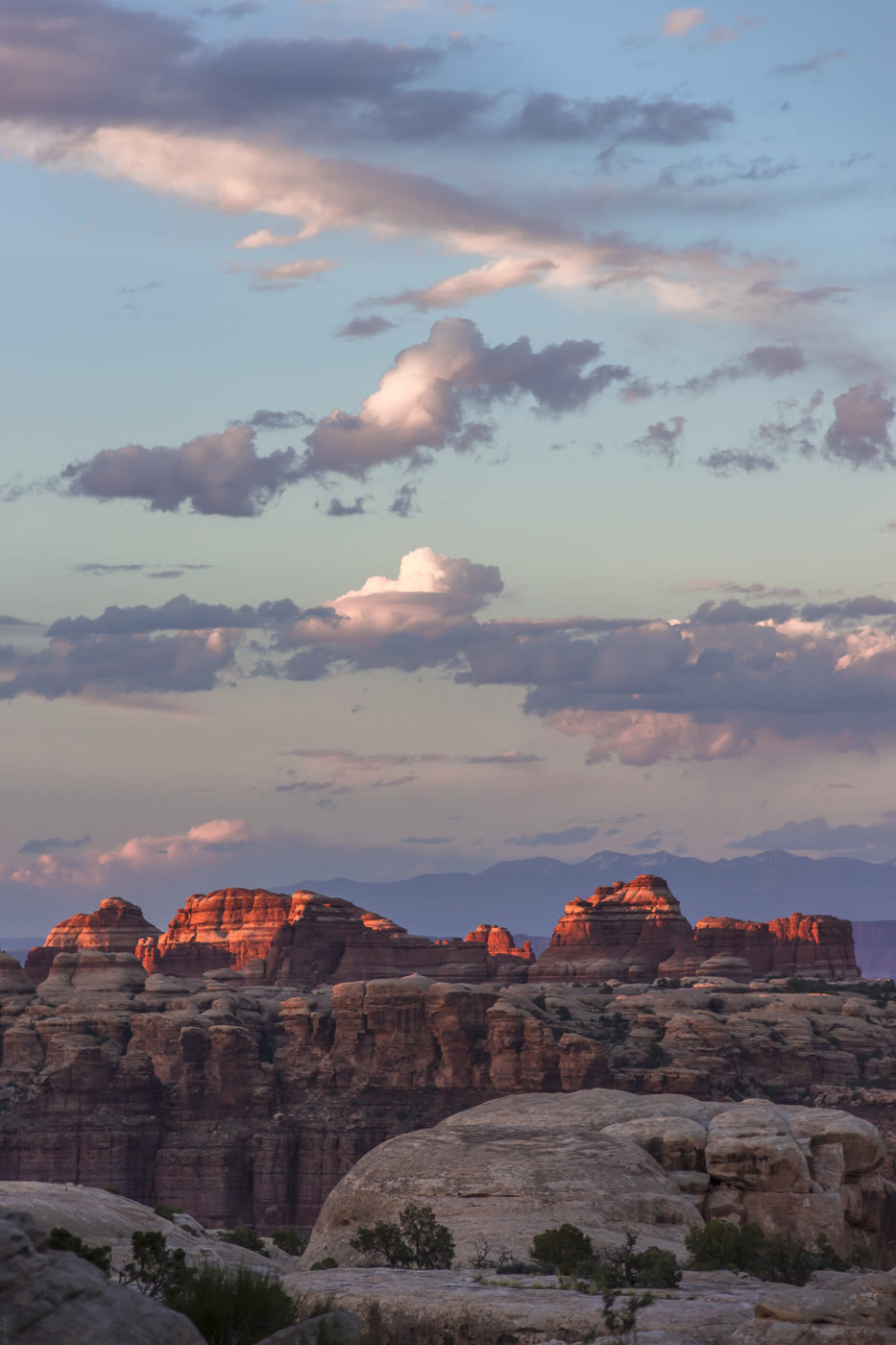 Plate CCXXVI
The Doll House
canyonThe Maze, Canyonlands, Utah
A room of stone figures the Maze kept.
38.2° N · 109.9° WOpen plate →
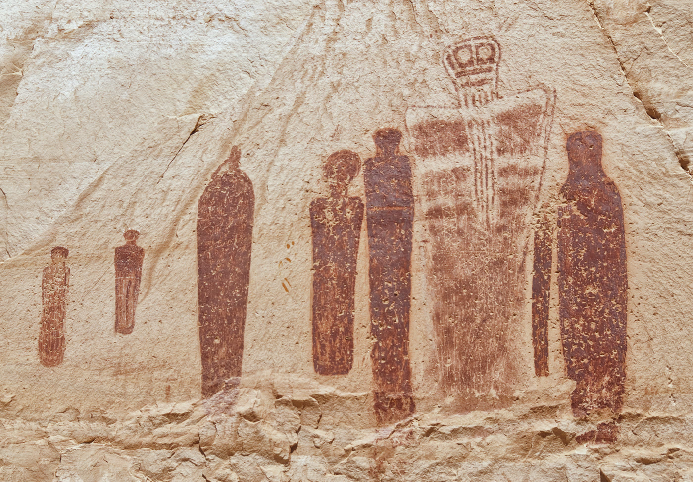 Plate CCXXVII
Great Gallery
canyonHorseshoe Canyon, Canyonlands, Utah
Figures the canyon has held for a very long time.
38.5° N · 110.2° WOpen plate →
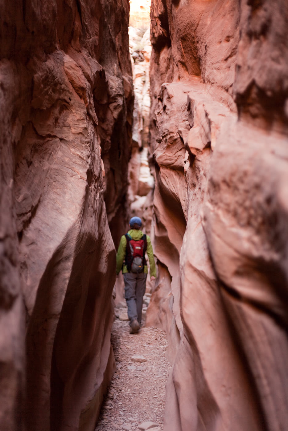 Plate CCXXVIII
Little Wild Horse Canyon
canyonSan Rafael Swell, Utah
A narrow walk the Swell cut for a horse.
38.6° N · 110.8° WOpen plate →
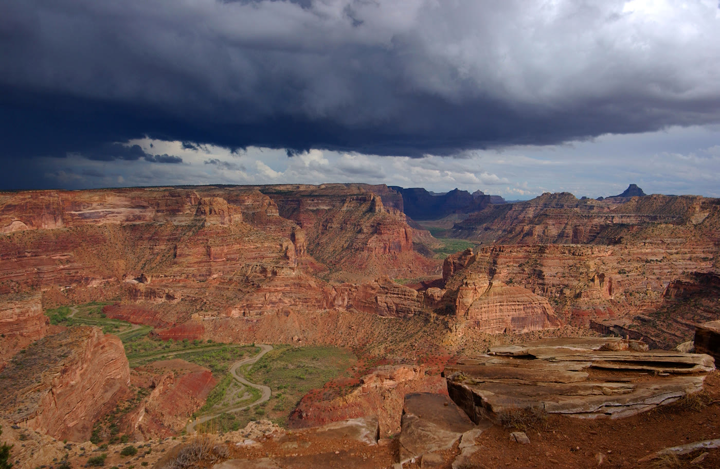 Plate CCXXIX
The Wedge Overlook
canyonSan Rafael Swell, Utah
A little Grand Canyon the Swell kept.
39.1° N · 110.7° WOpen plate →
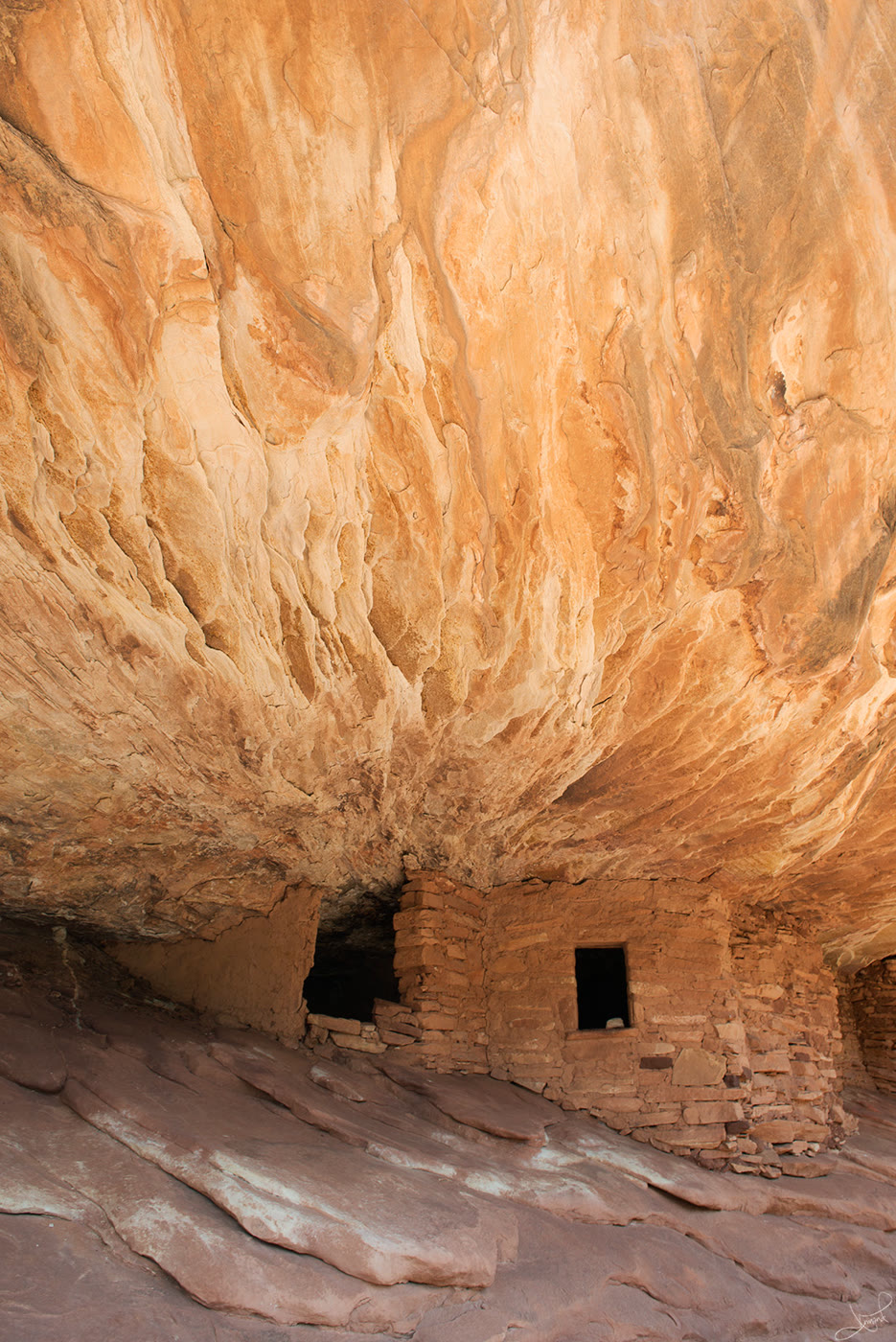 Plate CCXXX
House on Fire
canyonMule Canyon, Utah
Rooms the ceiling still seems to warm.
37.5° N · 109.7° WOpen plate →
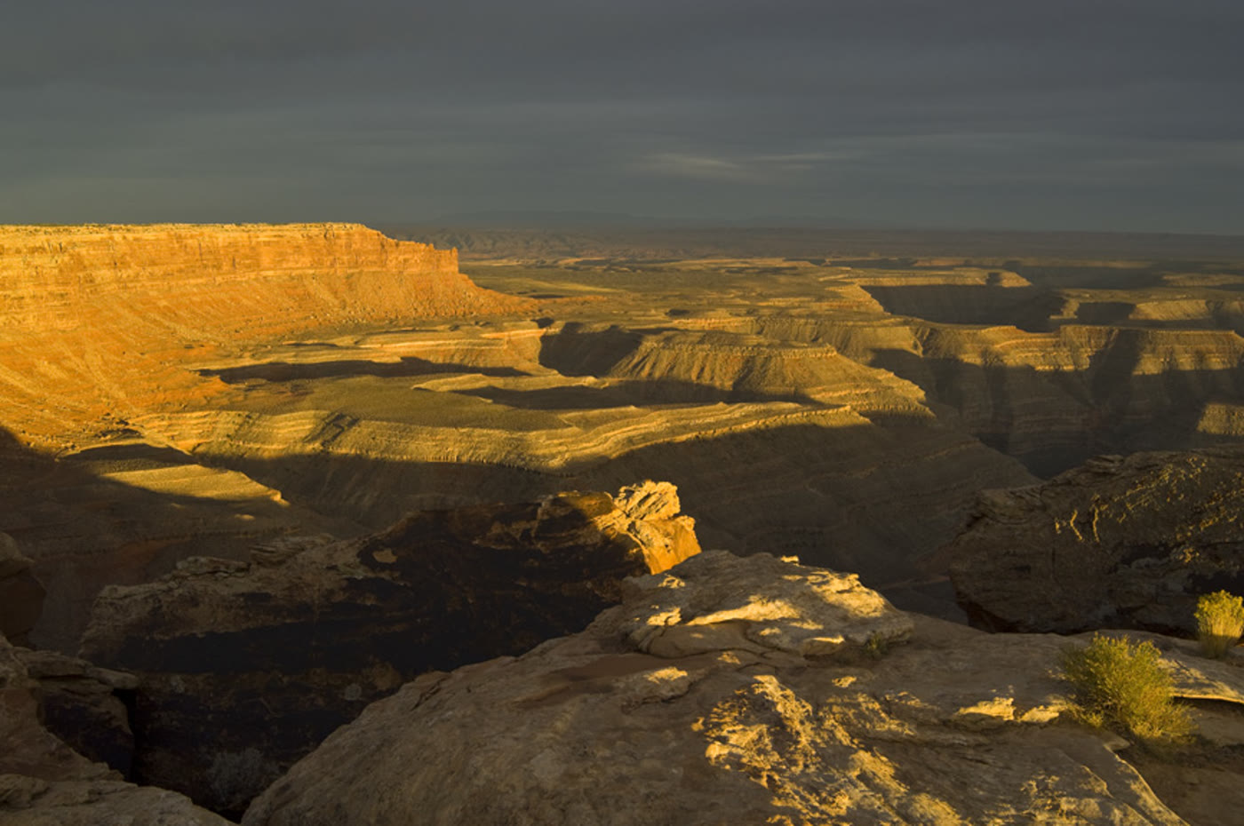 Plate CCXXXI
Muley Point
canyonCedar Mesa rim, Utah
A rim that looks past the river’s turns.
37.2° N · 110.0° WOpen plate →
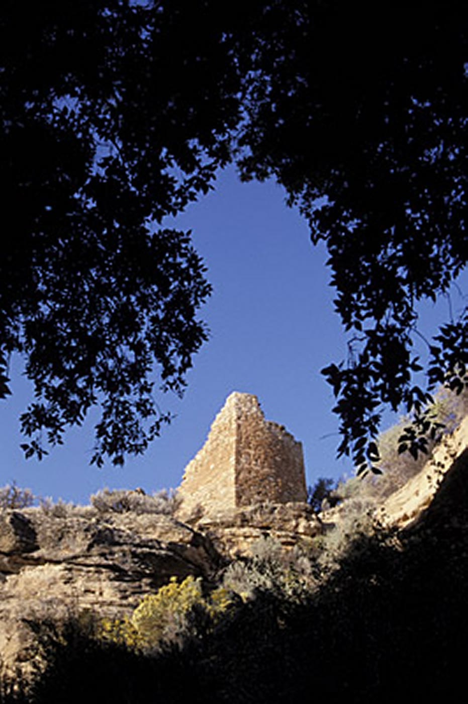 Plate CCXXXII
Hovenweep Square Tower
canyonHovenweep National Monument, Utah
Towers a community set on the rim.
37.4° N · 109.1° WOpen plate →
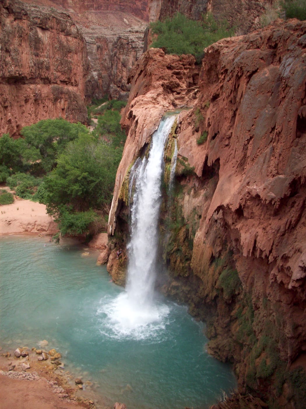 Plate CCXXXV
Havasu Falls
canyonHavasupai Reservation, Arizona
A blue pool the red wall still holds.
36.3° N · 112.7° WOpen plate →
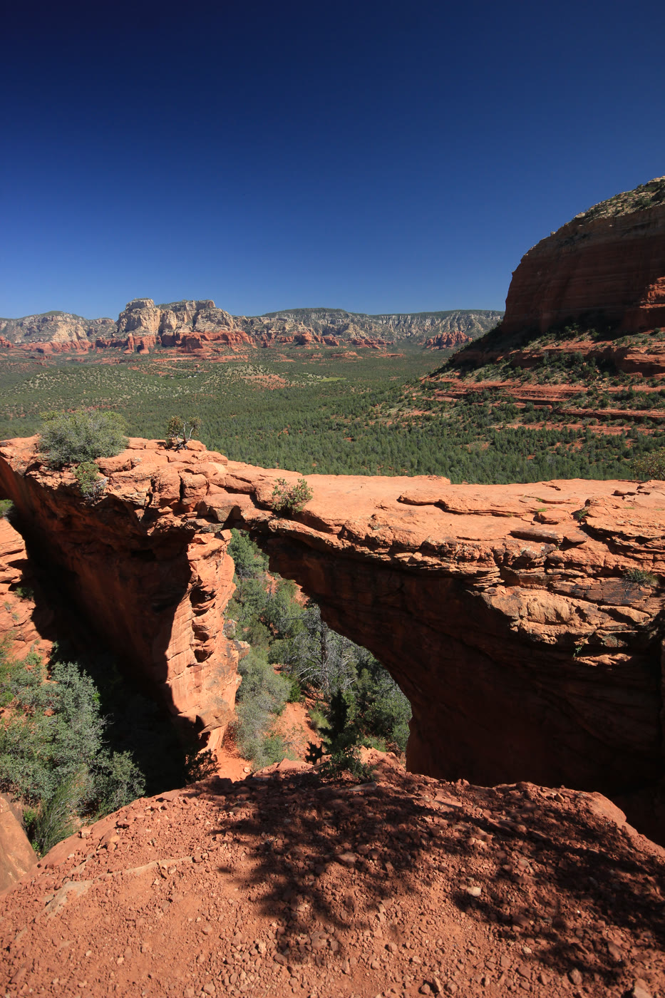 Plate CCXLIII
Devil's Bridge
canyonCoconino National Forest, Sedona, Arizona
A bridge the hollow left standing.
34.9° N · 111.8° WOpen plate →
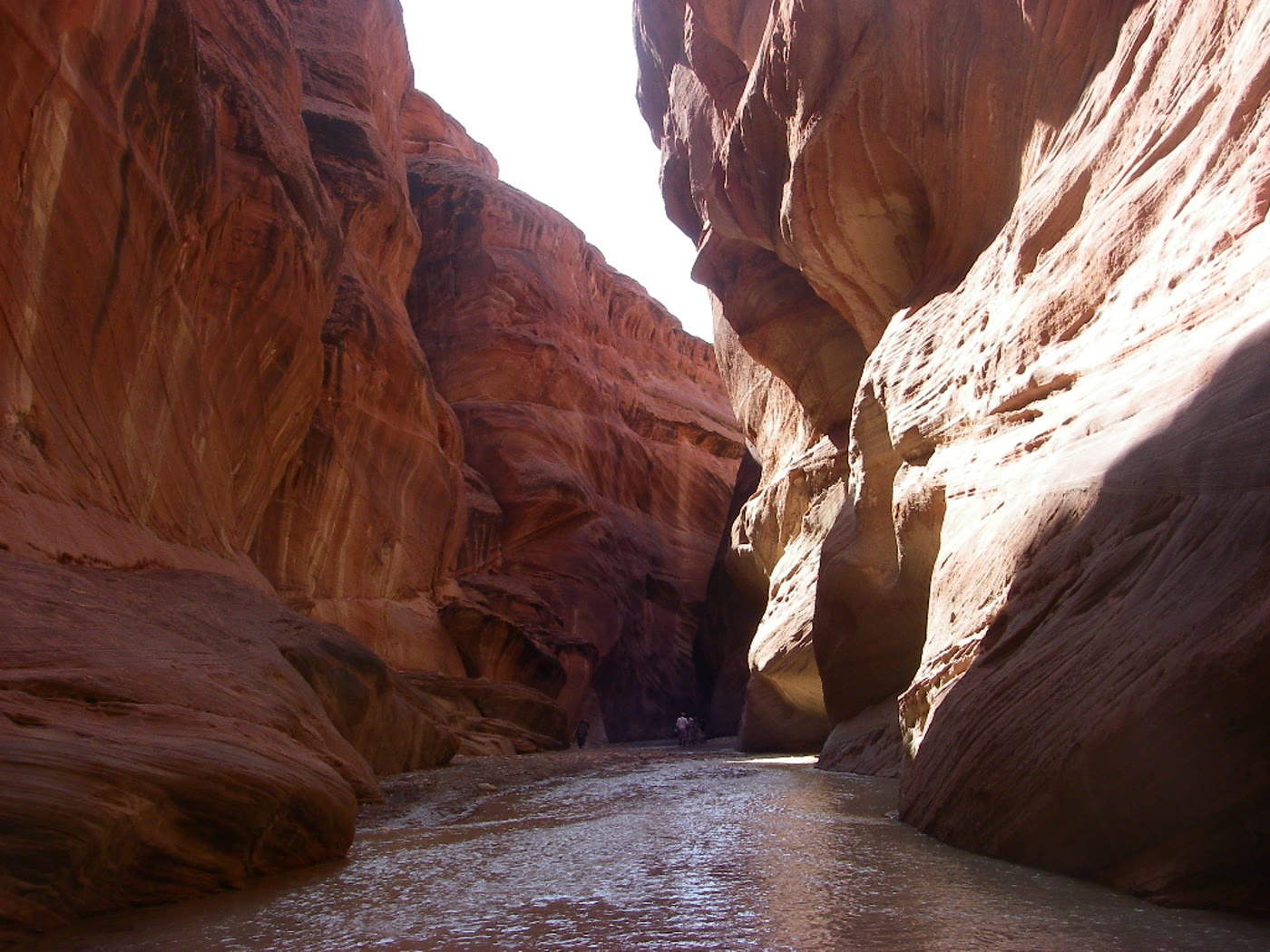 Plate CCXLIV
Paria Canyon
canyonArizona–Utah corridor, Arizona
A river that kept both states for a hallway.
36.9° N · 111.7° WOpen plate →
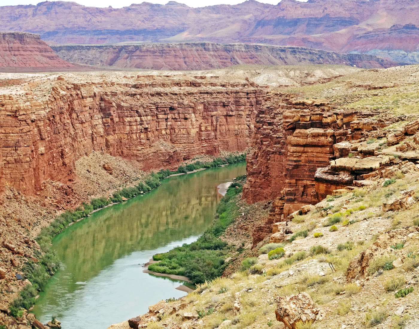 Plate CCXLV
Marble Canyon
canyonColorado River, Arizona
A marble-named trench the river kept narrow.
36.8° N · 111.6° WOpen plate →
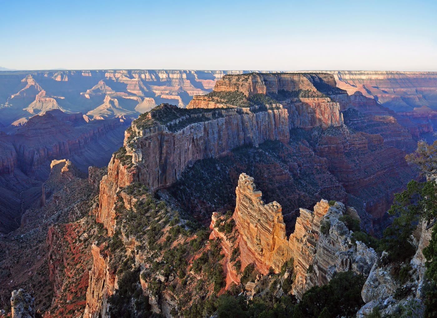 Plate CCXLVI
Cape Royal
canyonNorth Rim, Grand Canyon, Arizona
The North Rim’s long look into the eastern gorge.
36.1° N · 111.9° WOpen plate →
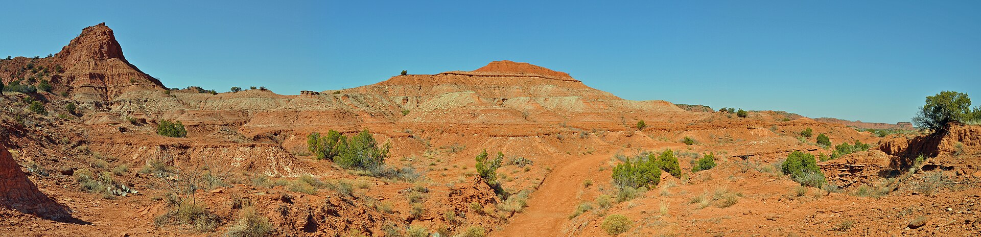 Plate CCXLVIII
Caprock Canyons
canyonCaprock Escarpment, near Quitaque, Texas
Palo Duro’s quieter red cut, still wearing prairie.
34.4° N · 101.1° WOpen plate →
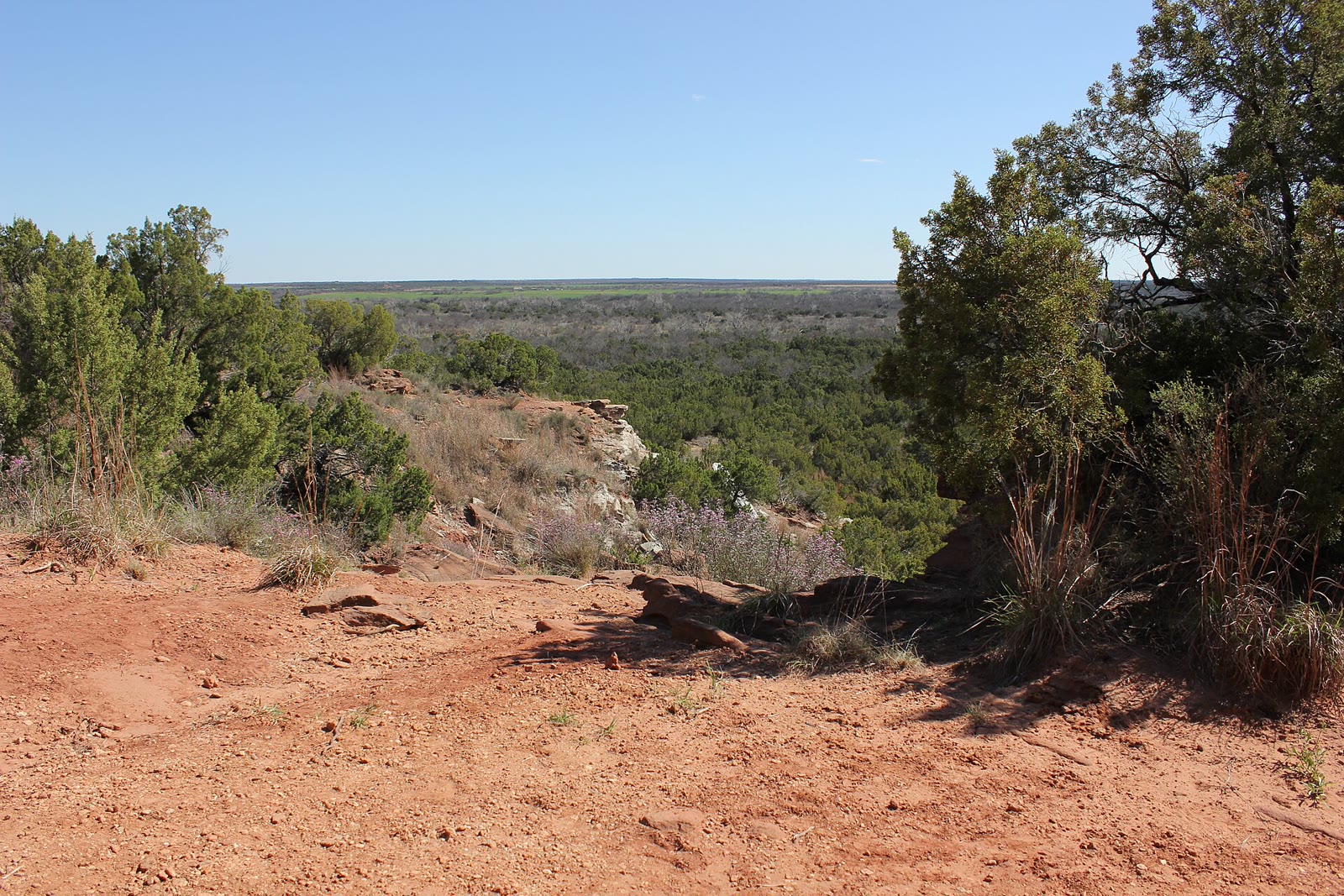 Plate CCLXII
Copper Breaks
canyonPease River breaks, Hardeman County, Texas
A red break the Panhandle kept smaller.
34.1° N · 99.8° WOpen plate →
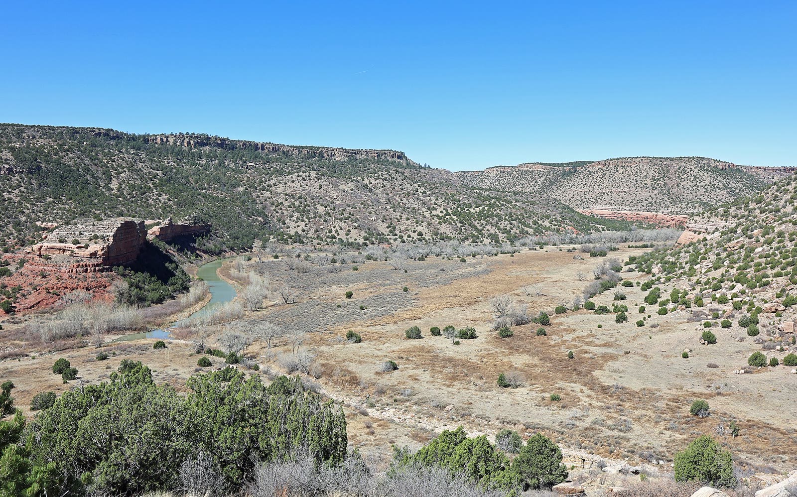 Plate CCLXVIII
Kiowa National Grassland
canyonMills Canyon, Canadian River, New Mexico
A river canyon the grassland hid.
36.0° N · 104.4° WOpen plate →
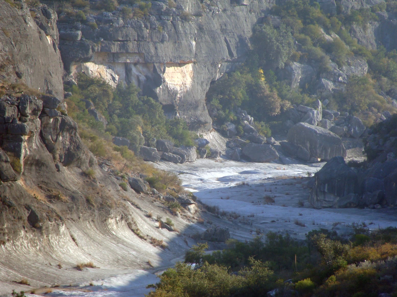 Plate CCLXX
Seminole Canyon
canyonPecos River, Val Verde County, Texas
A Pecos canyon that keeps its shade.
29.7° N · 101.3° WOpen plate →
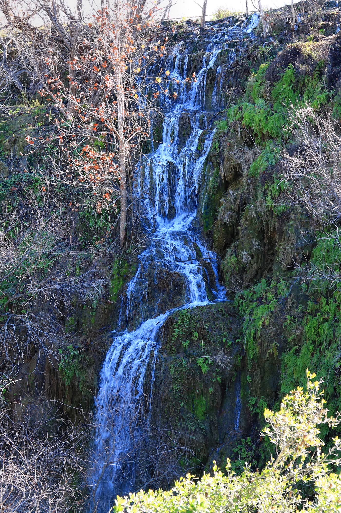 Plate CCLXXI
Colorado Bend
canyonColorado River, San Saba County, Texas
A river bend that still keeps a waterfall.
31.0° N · 98.5° WOpen plate →
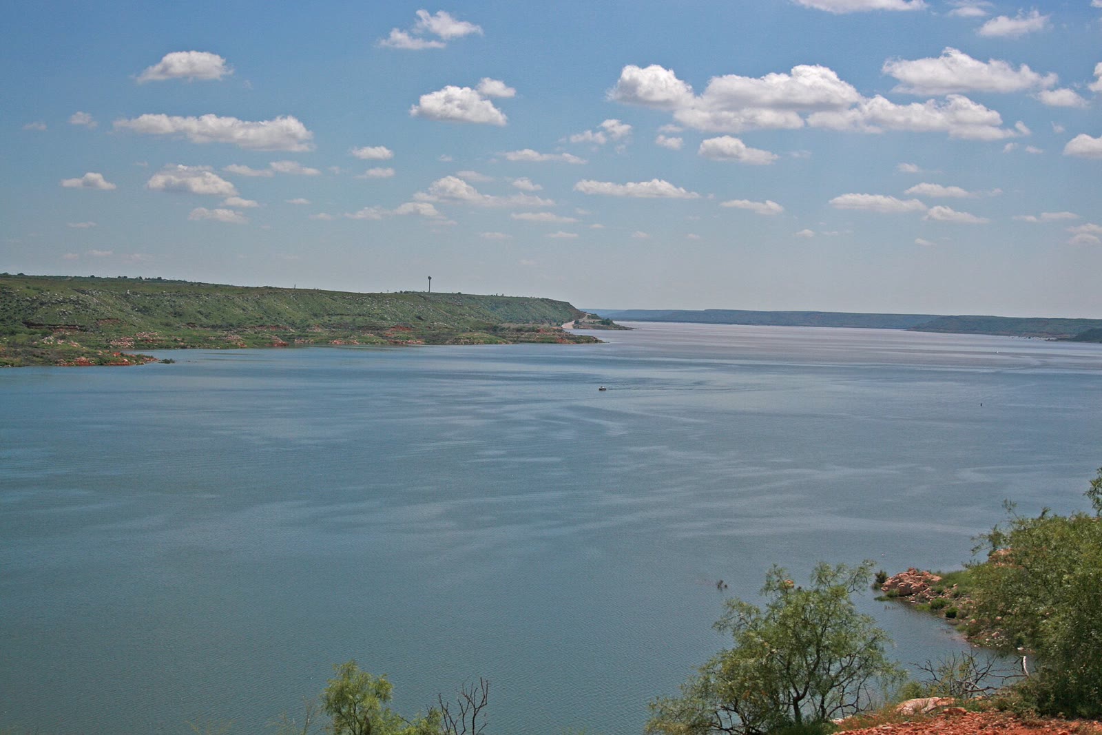 Plate CCLXXV
Lake Meredith
canyonCanadian River breaks, Hutchinson County, Texas
Blue water the Panhandle hid in red breaks.
35.6° N · 101.7° WOpen plate →
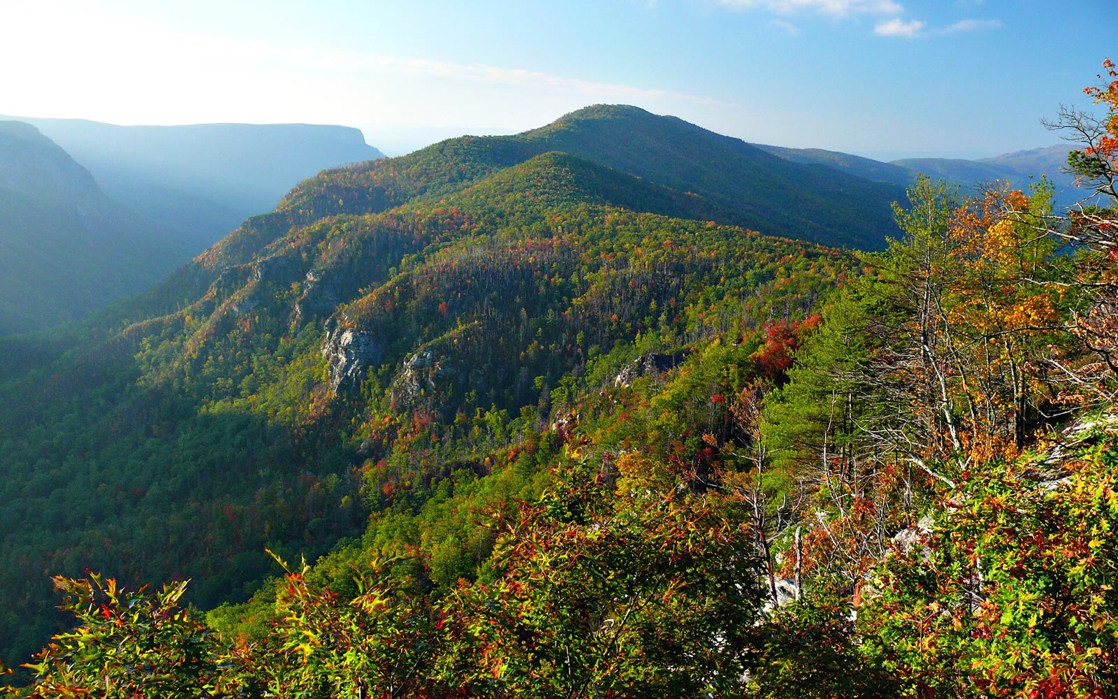 Plate CCLXXVIII
Linville Gorge
canyonBlue Ridge escarpment, Burke County, North Carolina
The East’s deep gorge, still wearing fall.
35.9° N · 81.9° WOpen plate →
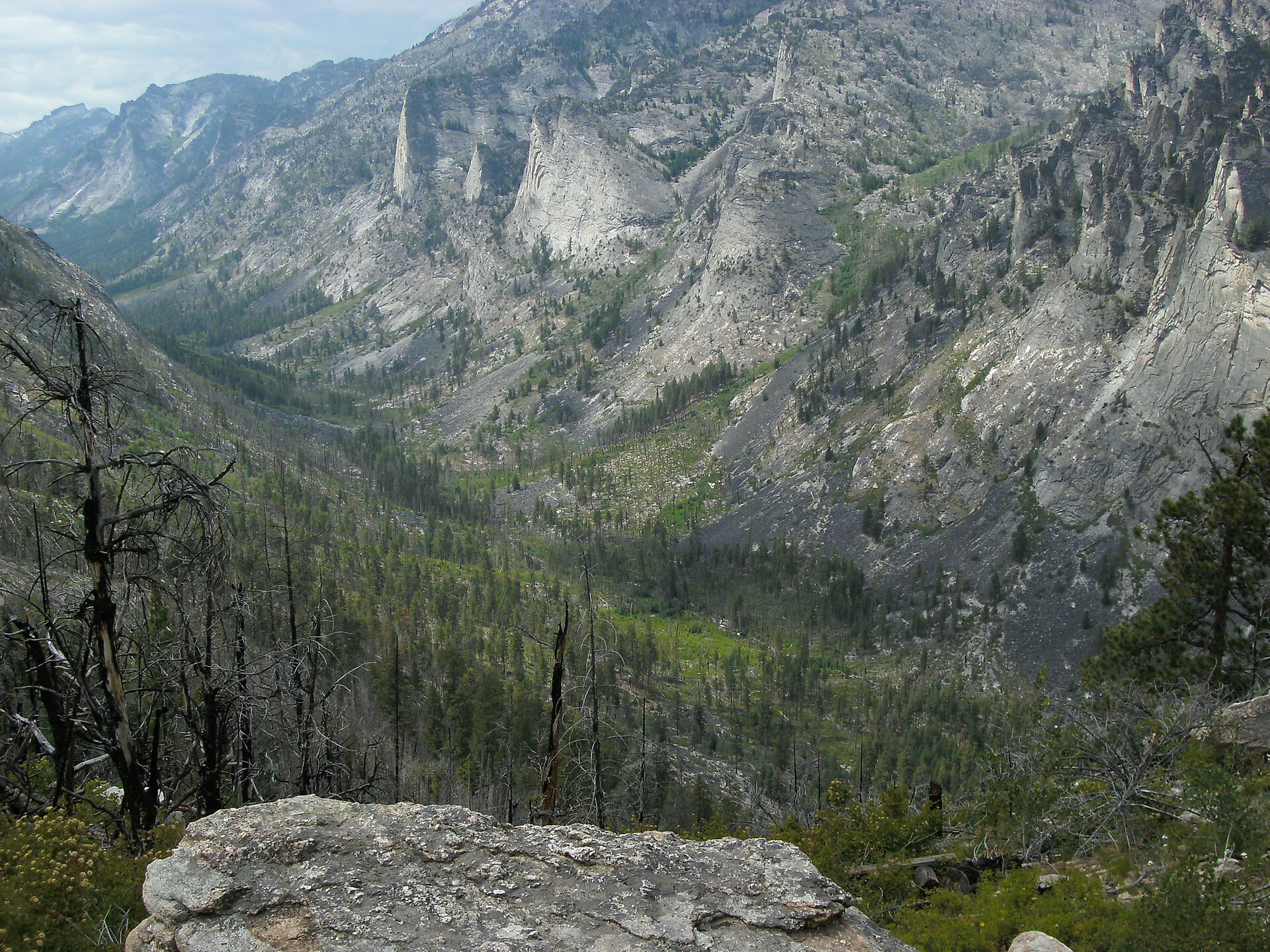 Plate CCLXXXVII
Blodgett Canyon
canyonBitterroot National Forest, Ravalli County, Montana
A granite canyon the Bitterroot still cuts.
46.3° N · 114.3° WOpen plate →
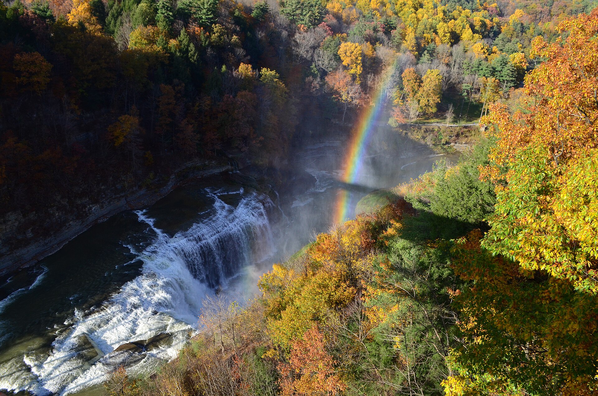 Plate CCCIX
Letchworth
canyonLetchworth State Park, Genesee Gorge, New York
Middle Falls, a rainbow, and October hardwood.
42.6° N · 78.0° WOpen plate →
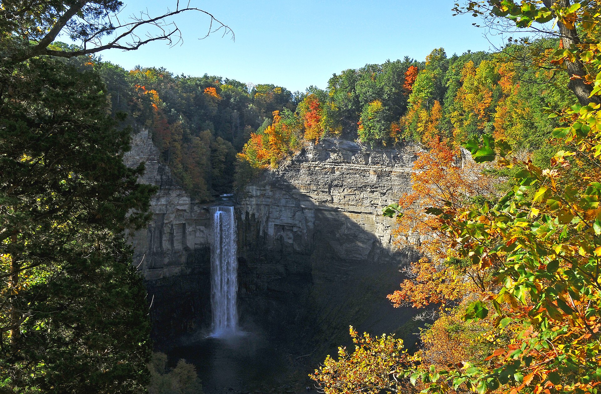 Plate CCCXVIII
Taughannock Falls
canyonTaughannock Falls State Park, Cayuga Lake, New York
A white thread in a limestone bowl of October.
42.5° N · 76.6° WOpen plate →
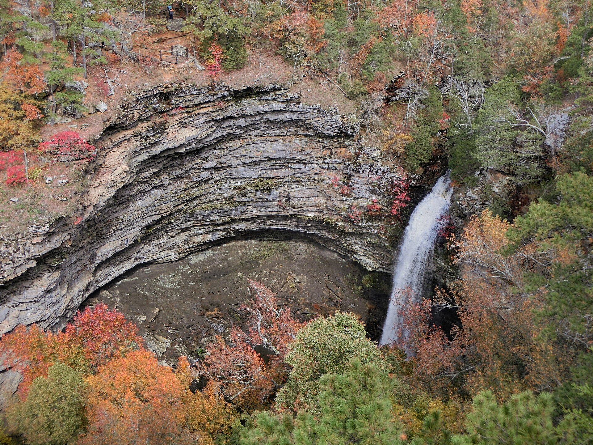 Plate CCCXIX
Petit Jean
canyonPetit Jean State Park, Arkansas River Valley, Arkansas
A white drop in a ring of October sandstone.
35.1° N · 92.9° WOpen plate →
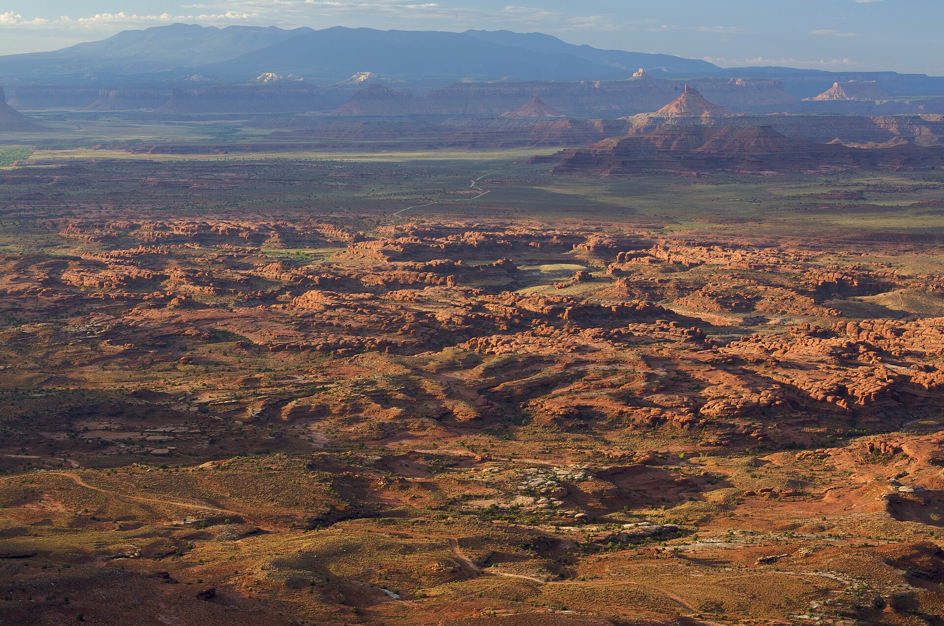 Plate CCCXXV
Needles Overlook
canyonCanyon Rims Recreation Area, Hatch Point, Utah
A Hatch Point balcony over a city of striped stone.
38.3° N · 109.7° WOpen plate →
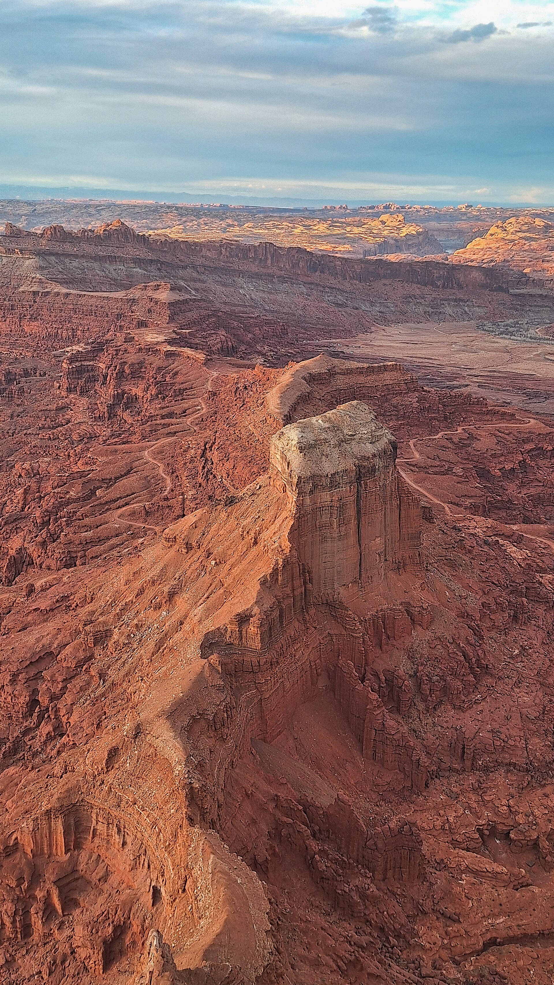 Plate CCCXXVI
Anticline Overlook
canyonCanyon Rims Recreation Area, Hatch Point, Utah
A river fold read from the opposite rim.
38.5° N · 109.6° WOpen plate →
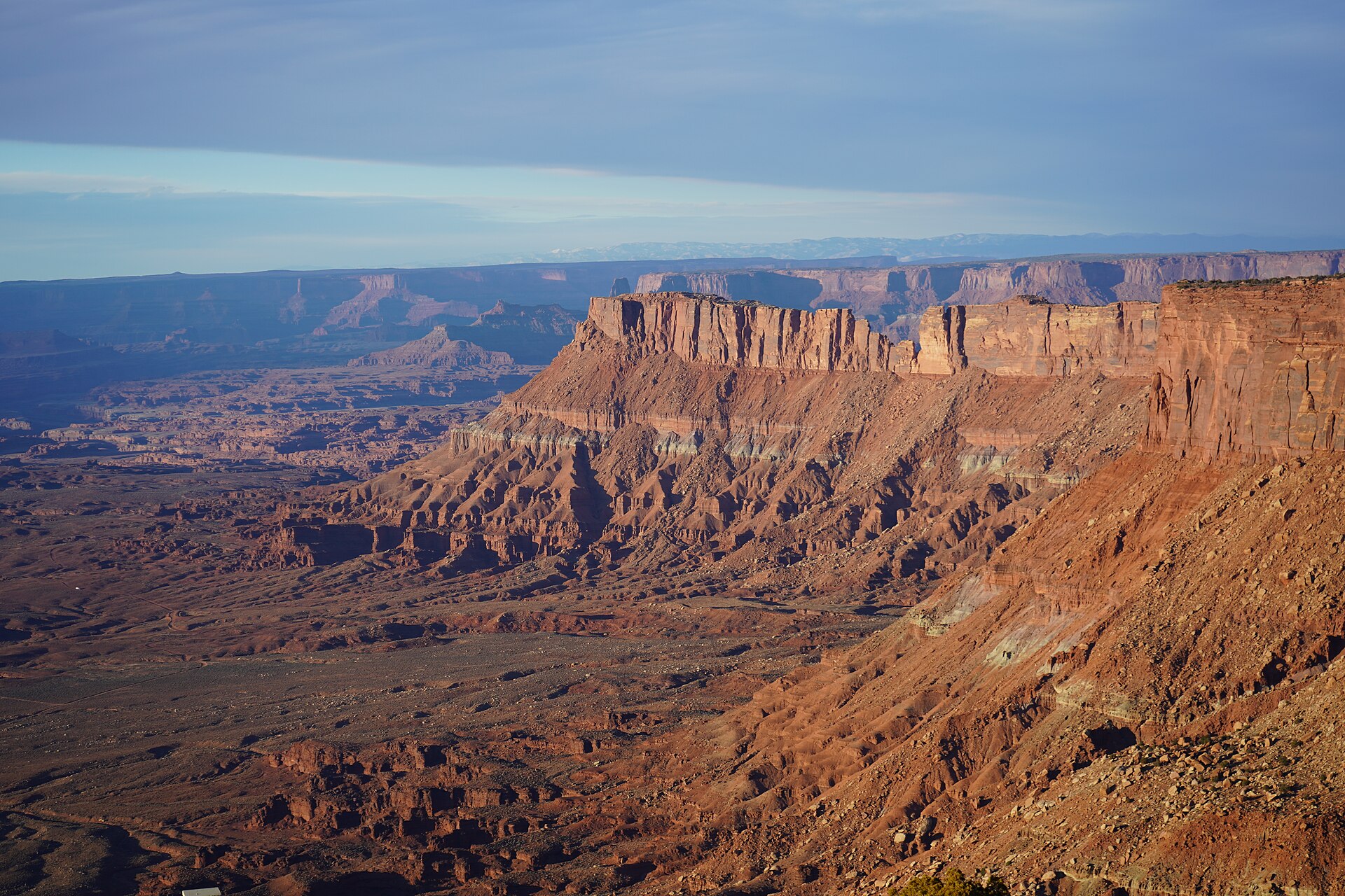 Plate CCCXXVII
Canyonlands Overlook
canyonCanyon Rims Recreation Area, Hatch Point, Utah
Island country read from the east rim.
38.4° N · 109.7° WOpen plate →
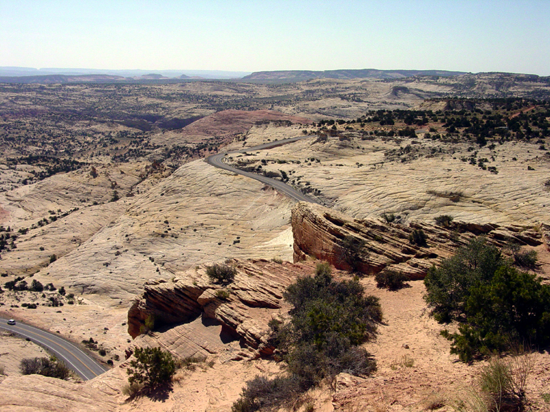 Plate CCCXXVIII
Head of the Rocks Overlook
canyonScenic Byway 12, east of Escalante, Utah
Slickrock falling away under a black highway thread.
37.7° N · 111.5° WOpen plate →
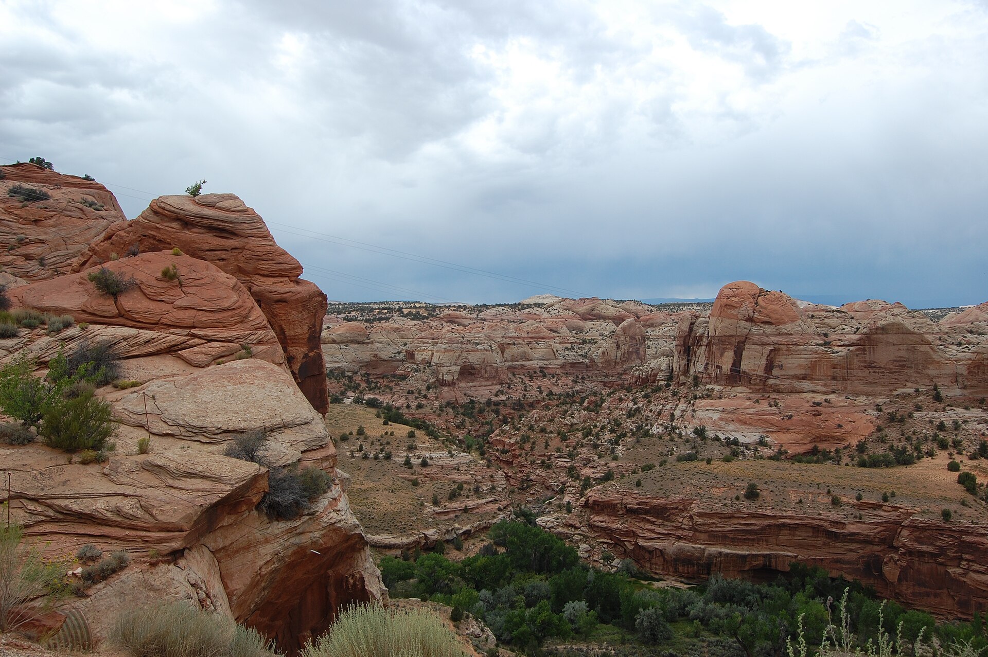 Plate CCCXXIX
Boynton Overlook
canyonScenic Byway 12, Escalante River, Utah
A red canyon the highway has to cross.
37.8° N · 111.4° WOpen plate →
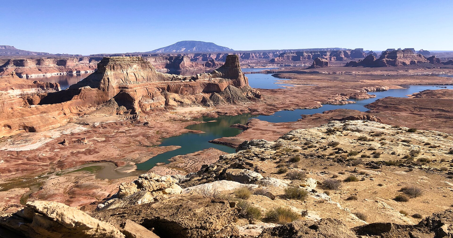 Plate CCCXXXII
Alstrom Point
canyonPadre Bay cape, Glen Canyon NRA (approx), Utah
A stone table over a drowned canyon.
37.1° N · 111.3° WOpen plate →
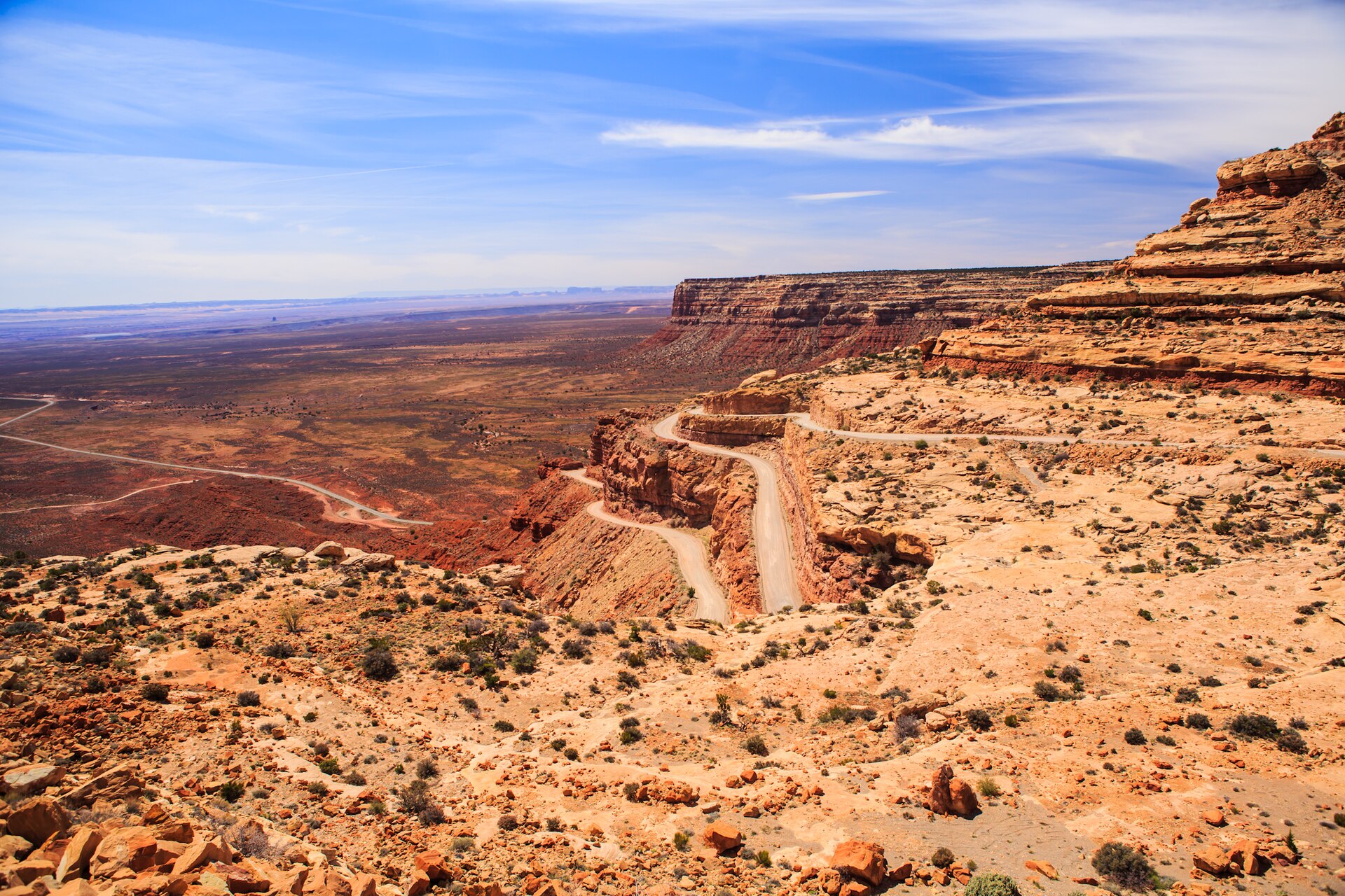 Plate CCCXXXIII
Moki Dugway
canyonUtah 261, Cedar Mesa switchbacks, Utah
A mesa wall the road learned to descend.
37.3° N · 109.9° WOpen plate →
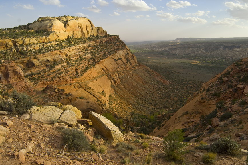 Plate CCCXXXIV
Comb Ridge
canyonComb Wash at UT-95, San Juan County, Utah
A stone comb standing over its own wash.
37.5° N · 109.7° WOpen plate →
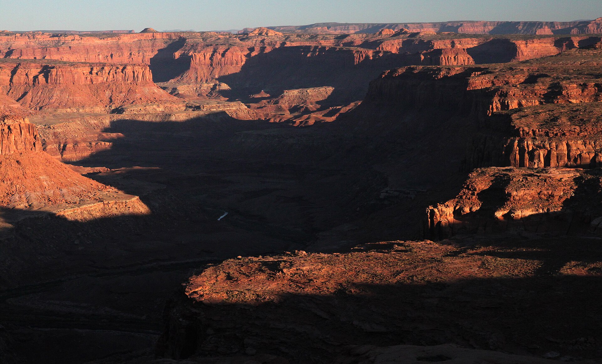 Plate CCCXXXV
Burr Point Overlook
canyonBurr Desert, Dirty Devil rim, Utah
A desert rim over a named dirty river.
38.2° N · 110.5° WOpen plate →
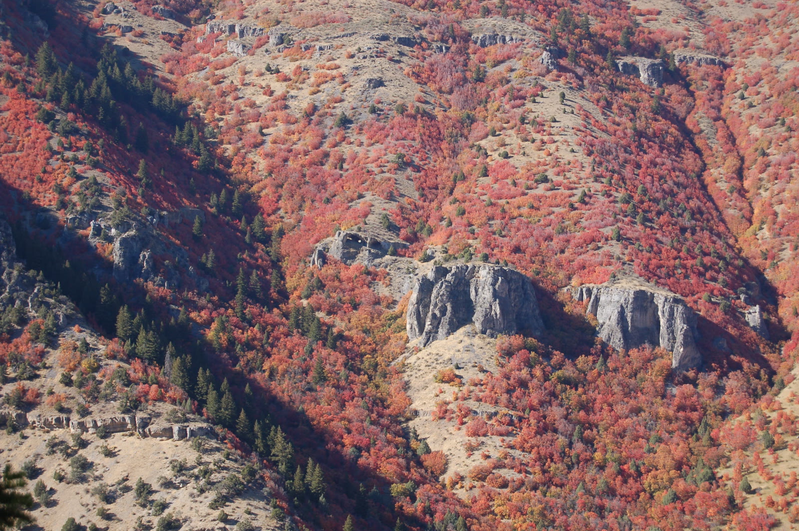 Plate CCCXXXIX
Logan Canyon Wind Caves
canyonUS-89, Logan Canyon, Utah
Limestone windows in the canyon wall.
41.8° N · 111.7° WOpen plate →
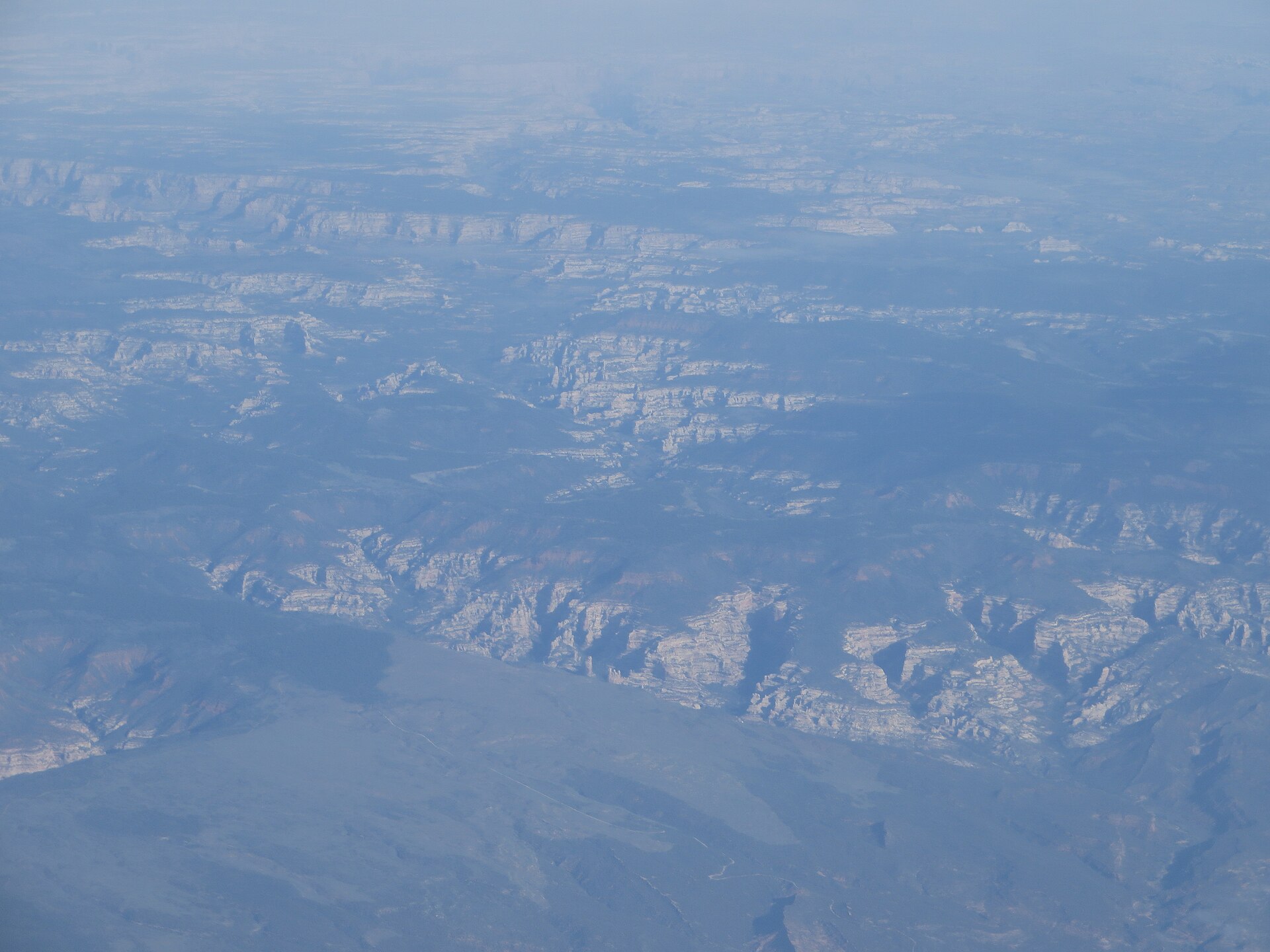 Plate CCCLIII
Dark Canyon
canyonDark Canyon Wilderness, Manti-La Sal NF, Utah
A quiet cut behind the Needles.
37.9° N · 110.1° WOpen plate →
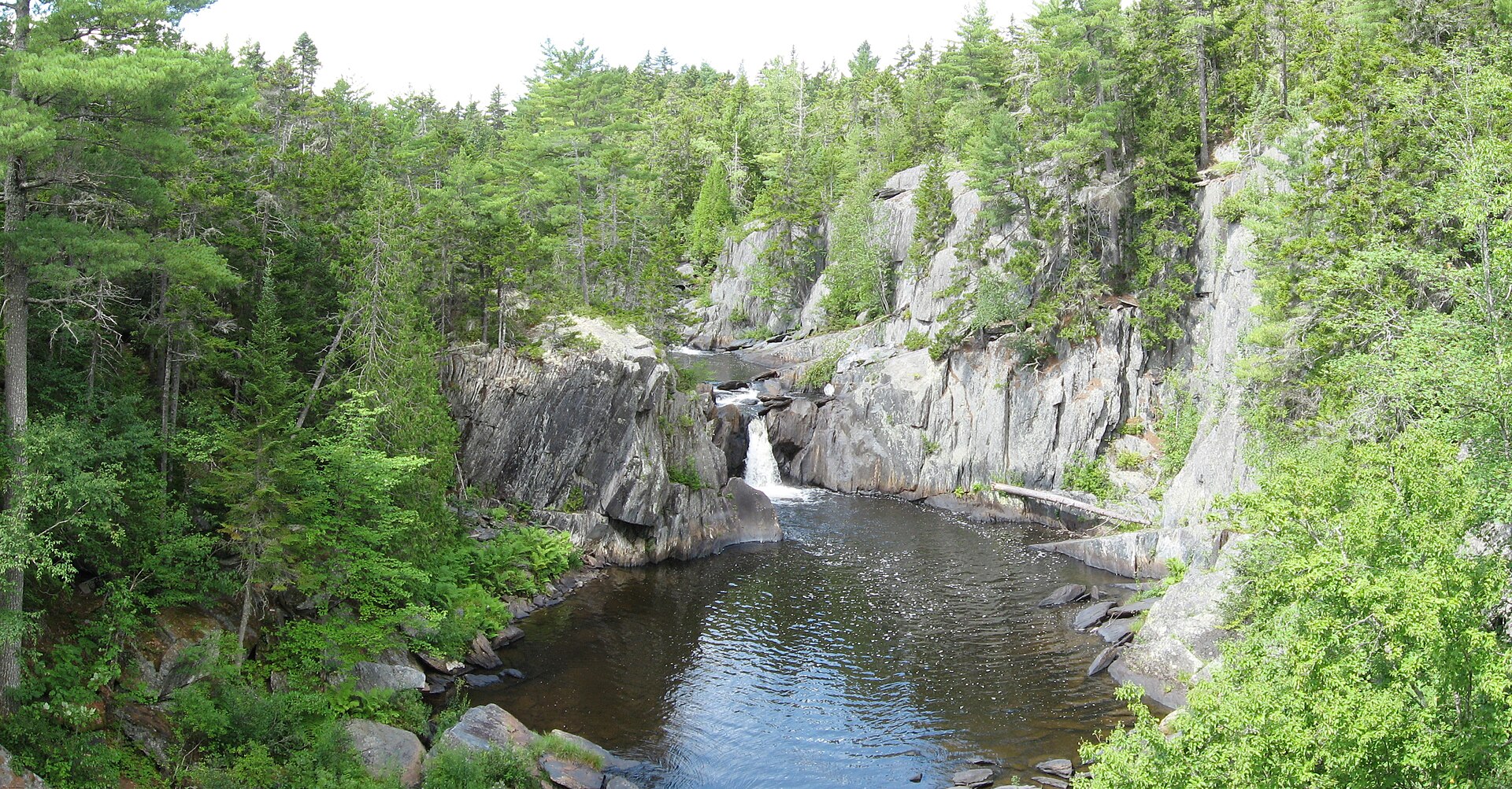 Plate CCCLVIII
Gulf Hagas
canyonKI Jo-Mary, Piscataquis County, Maine
A slate gorge in the northern Maine woods.
45.5° N · 69.3° WOpen plate →
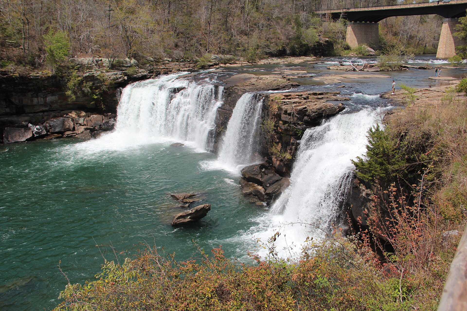 Plate CCCLIX
Little River Canyon
canyonLookout Mountain, DeKalb County, Alabama
A river that runs on top of a mountain.
34.4° N · 85.6° WOpen plate →
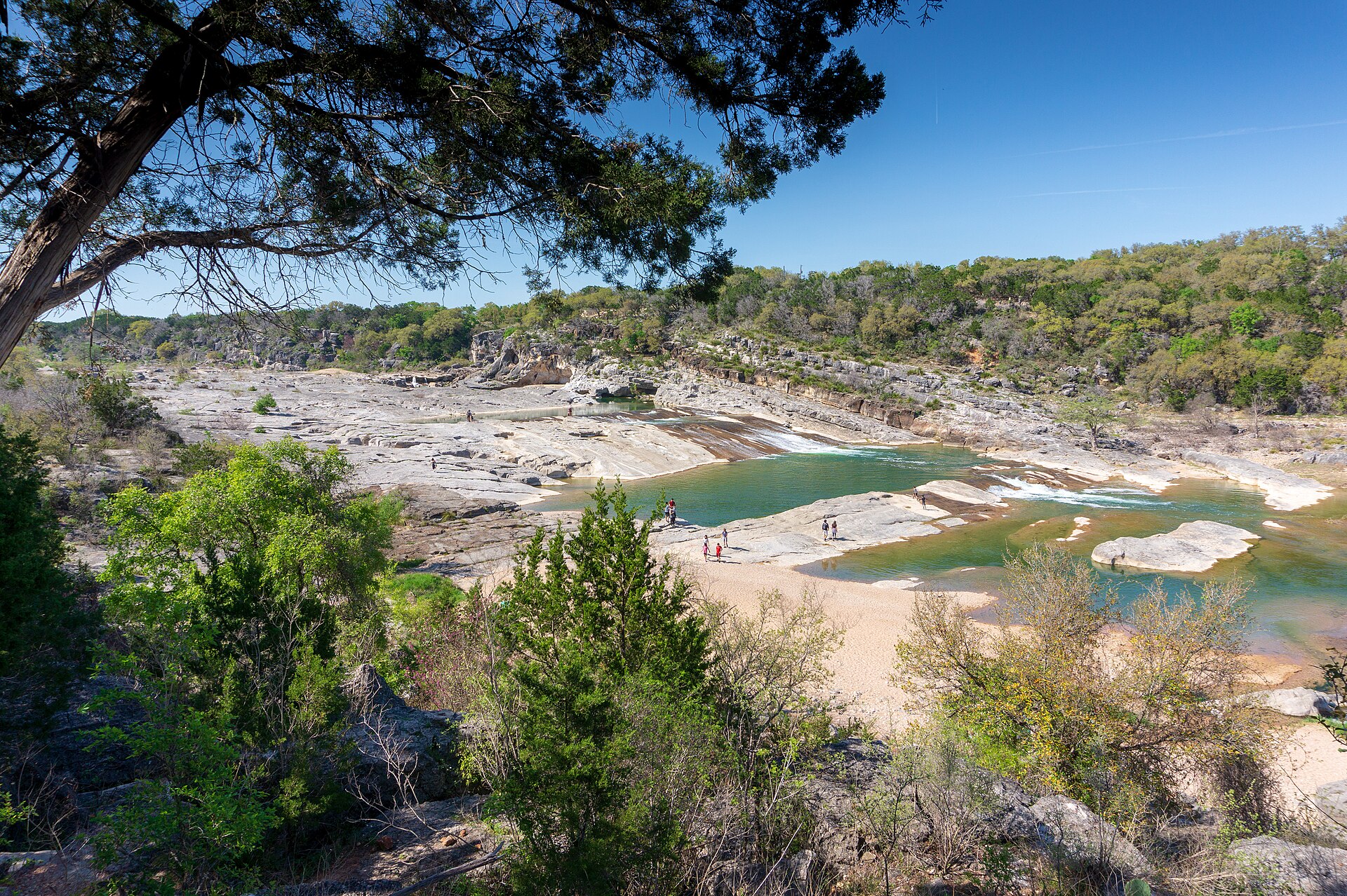 Plate CCCLXIII
Pedernales Falls
canyonBlanco County, east of Johnson City, Texas
A Hill Country river laid out in stone steps.
30.3° N · 98.2° WOpen plate →
Asked at the trailhead
Questions already asked
- What are the best canyon destinations in the USA?
- Grand Canyon in Arizona is the most famous. Zion, Bryce Canyon, Antelope Canyon, Canyonlands, and quieter plates in Utah, New Mexico, and Texas — including Caprock Canyons, Copper Breaks, Seminole Canyon, and Linville Gorge in the East — are also in this atlas.
- Where should I start a canyon road trip?
- The Southwest is the classic loop: Arizona and southern Utah hold most of the canyon plates here. Open the canyon index, then follow neighboring plates on the chart.
Change course