The Field Atlas
0/363Wetland and dry prairie
South destinations in the USA
The American South holds swamp, highland rim, gulf weather, a last Florida dry prairie, and quieter Texas cuts — Caprock, Copper Breaks, Lost Maples, South Llano, Enchanted Rock, sandhills, sky-island hills, Big Bend Ranch, and Big Thicket.
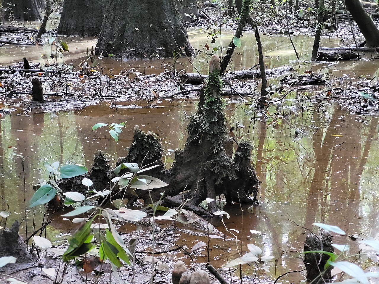
FrontispieceCongaree, South Carolina
These plates are wetland, prairie, hill, canyon, dune, forest, and shore, written as landform rather than a weekend list. Hercules Glades adds Missouri limestone balds above Long Creek. Richland Creek adds Ozark hardwood and Twin Falls in Arkansas. St. Joseph Peninsula is a quieter Gulf spit of dune and bay. Pedernales Falls is the limestone stair on the Hill Country river.
- Plates
- 25
- States
- 7
South
The plates
Plate XXVIICongaree
wetlandCongaree River floodplain, South Carolina
A floodplain forest that still remembers being a wilderness.
33.8° N · 80.8° WOpen plate →
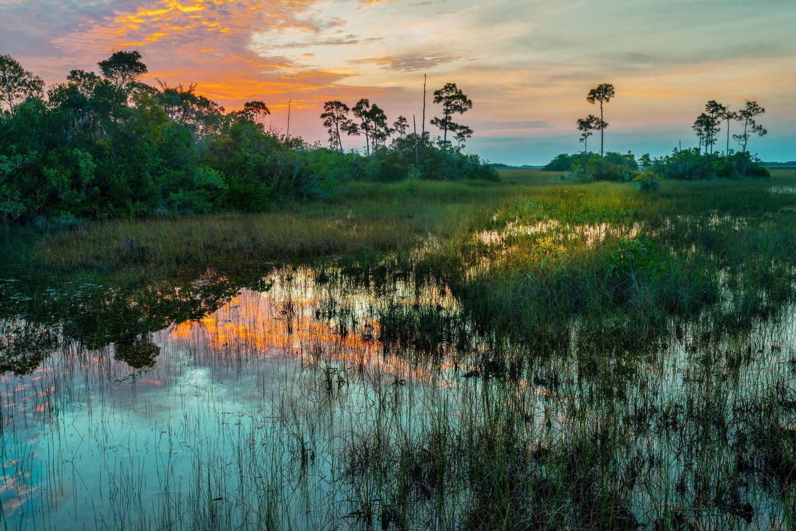 Plate XXVIII
Everglades
wetlandFlorida
Not a swamp so much as a river too wide to see.
25.3° N · 80.9° WOpen plate →
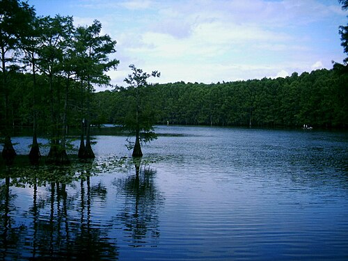 Plate LII
Caddo Lake
wetlandCypress swamp on the Texas–Louisiana line, Texas / Louisiana
A forest that decided to stand in the water.
32.7° N · 94.1° WOpen plate →
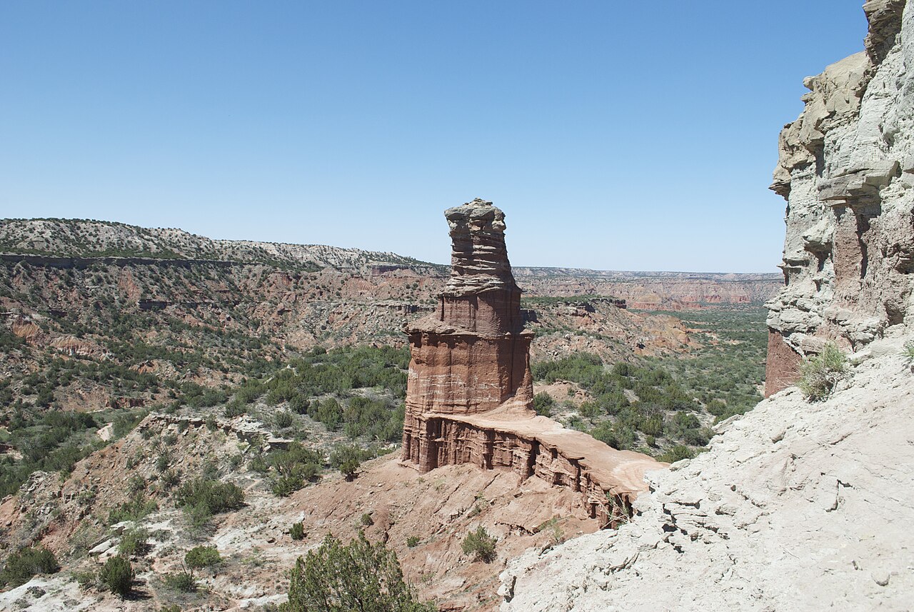 Plate LXVII
Palo Duro Canyon
canyonCaprock Escarpment, Texas Panhandle, Texas
A Grand Canyon the plains kept for themselves.
35.0° N · 101.7° WOpen plate →
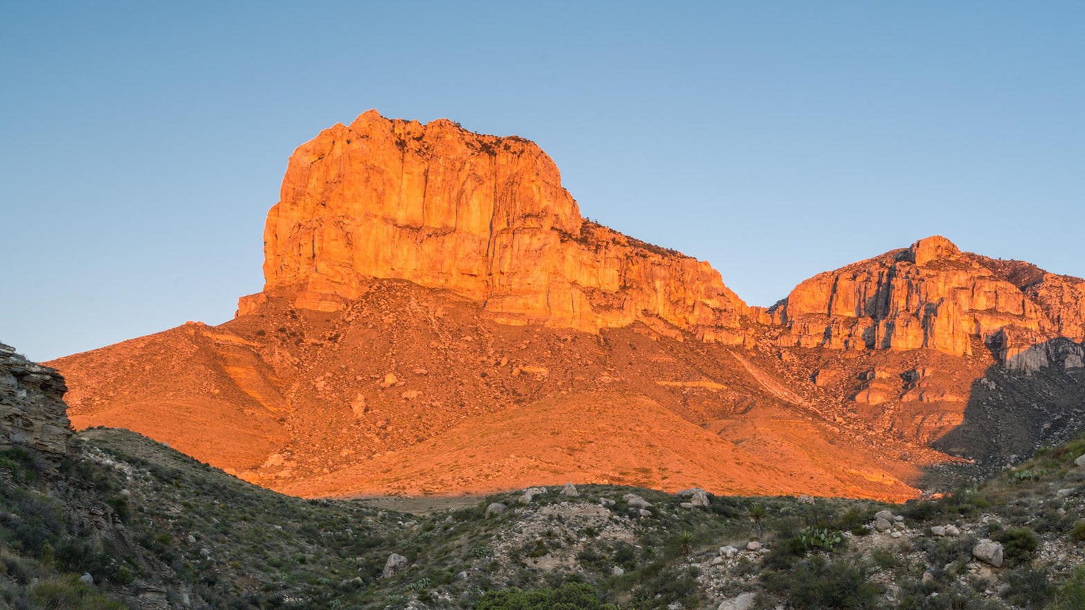 Plate LXVIII
Guadalupe Mountains
desertPermian Reef, Chihuahuan Desert, Texas
A fossil sea, now a mountain, now a wall of evening fire.
31.9° N · 104.9° WOpen plate →
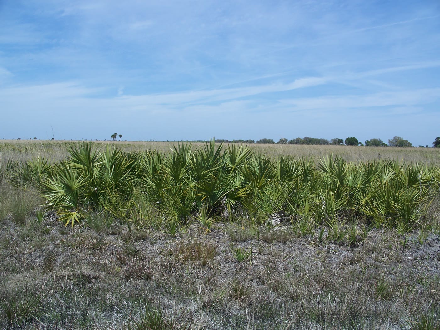 Plate CLV
Kissimmee Prairie Preserve
prairieOkeechobee County, Florida
The largest remaining Florida dry prairie.
27.6° N · 81.0° WOpen plate →
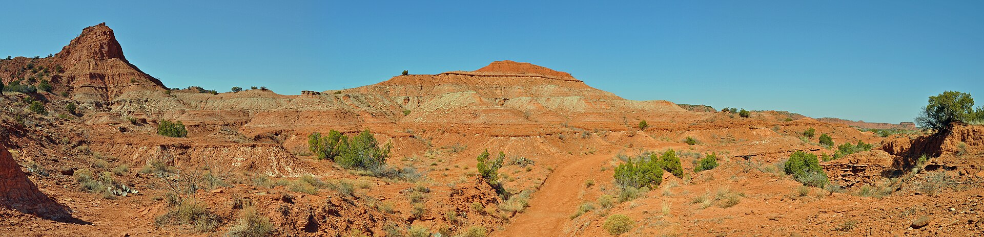 Plate CCXLVIII
Caprock Canyons
canyonCaprock Escarpment, near Quitaque, Texas
Palo Duro’s quieter red cut, still wearing prairie.
34.4° N · 101.1° WOpen plate →
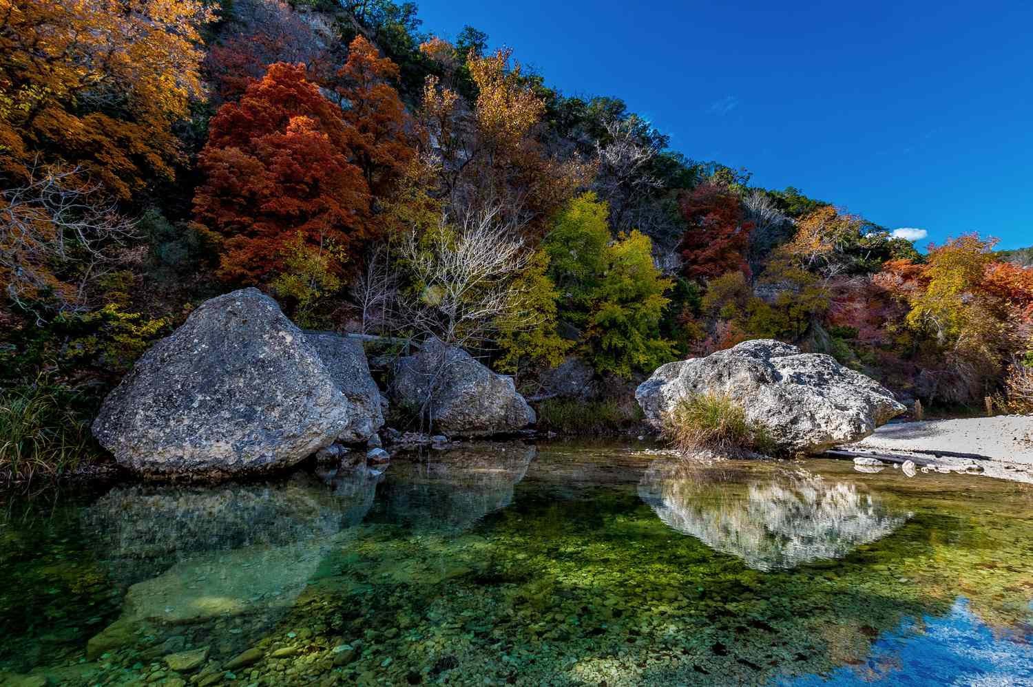 Plate CCXLIX
Lost Maples
forestEdwards Plateau, Bandera County, Texas
A Hill Country canyon that waits for October.
29.8° N · 99.6° WOpen plate →
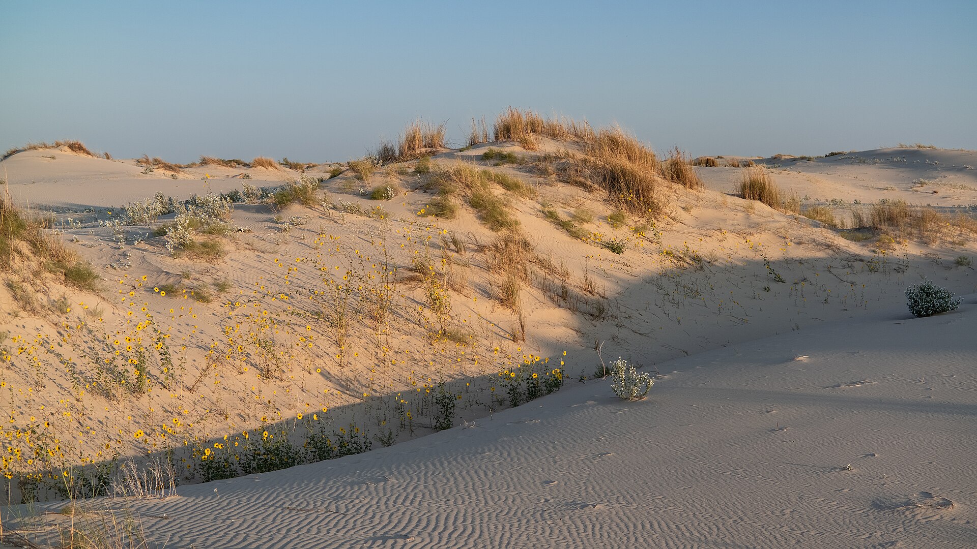 Plate CCL
Monahans Sandhills
dunePermian Basin, Ward County, Texas
A Sahara the basin kept between oil towns.
31.6° N · 102.8° WOpen plate →
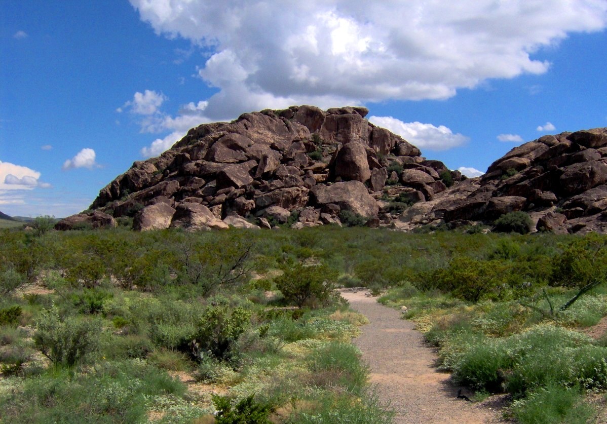 Plate CCLI
Hueco Tanks
hillsHueco Mountains, east of El Paso, Texas
Three stone hills that learned to keep water.
31.9° N · 106.0° WOpen plate →
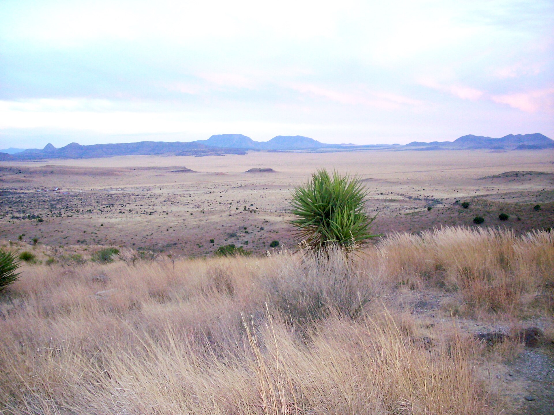 Plate CCLII
Davis Mountains
hillsTrans-Pecos, Jeff Davis County, Texas
A sky island the interstate forgot.
30.6° N · 103.9° WOpen plate →
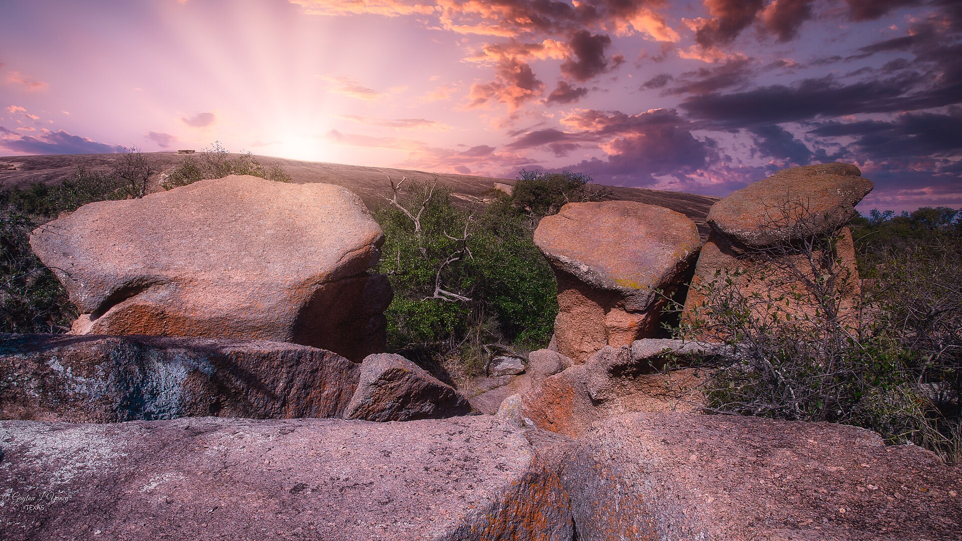 Plate CCLVIII
Enchanted Rock
hillsTexas Hill Country, Gillespie County, Texas
A granite whale the Hill Country kept.
30.5° N · 99.3° WOpen plate →
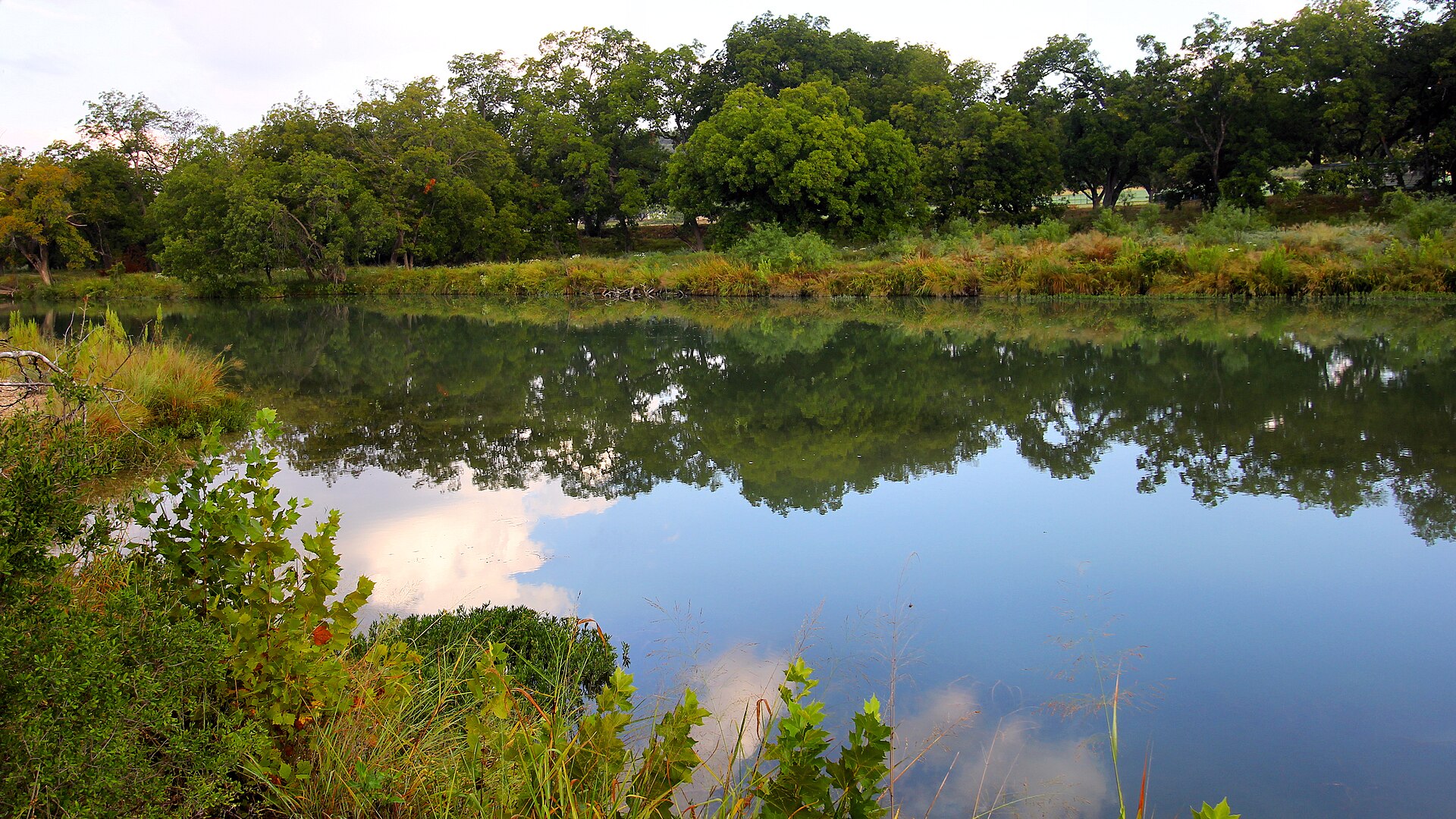 Plate CCLX
South Llano
hillsEdwards Plateau, Kimble County, Texas
A Hill Country river that still reads as water and woods.
30.4° N · 99.8° WOpen plate →
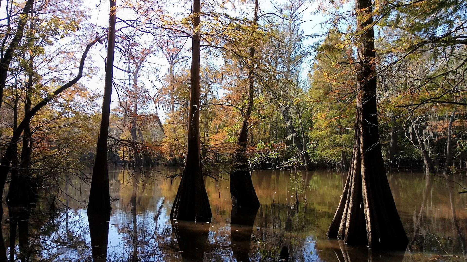 Plate CCLXI
Big Thicket
forestPineywoods, Texas
A cypress thicket the Pineywoods kept.
30.5° N · 94.3° WOpen plate →
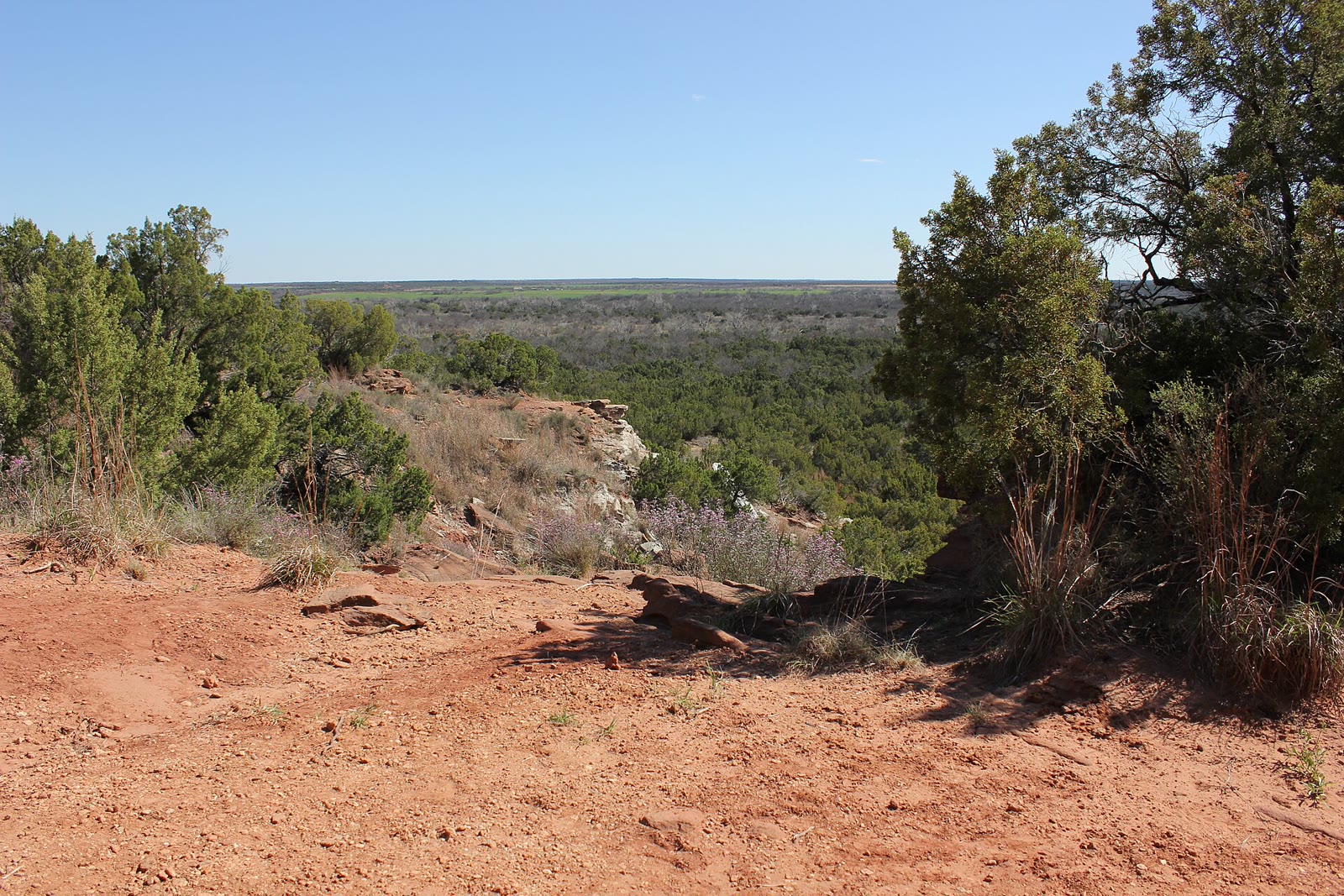 Plate CCLXII
Copper Breaks
canyonPease River breaks, Hardeman County, Texas
A red break the Panhandle kept smaller.
34.1° N · 99.8° WOpen plate →
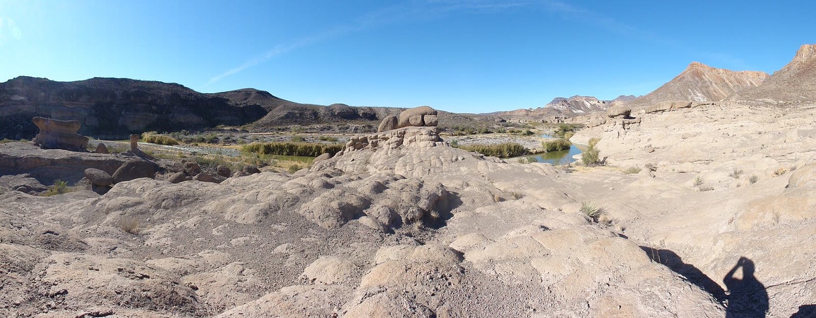 Plate CCLXVI
Big Bend Ranch
desertChihuahuan Desert, west of Lajitas, Texas
The desert the national park does not own.
29.5° N · 104.1° WOpen plate →
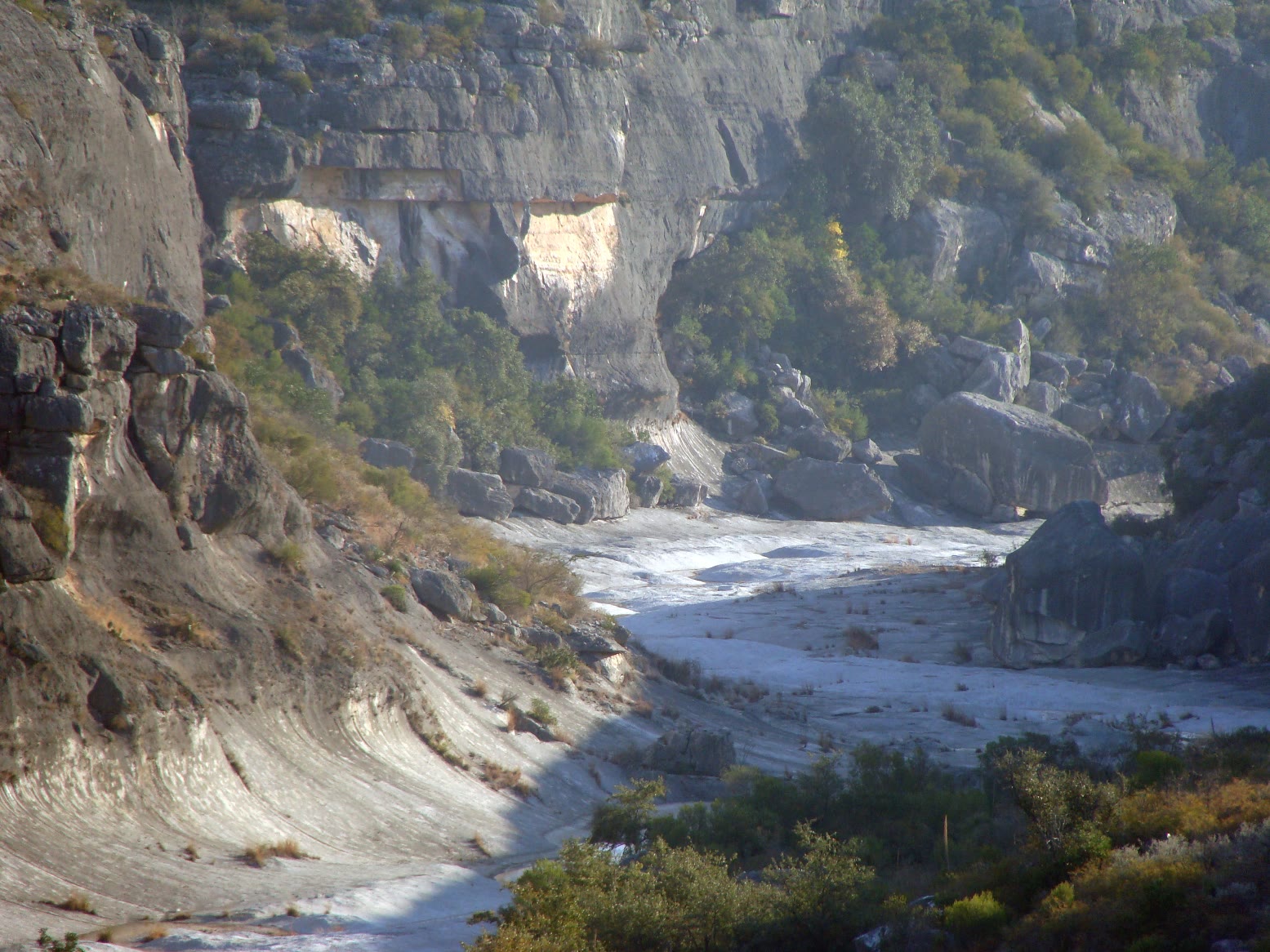 Plate CCLXX
Seminole Canyon
canyonPecos River, Val Verde County, Texas
A Pecos canyon that keeps its shade.
29.7° N · 101.3° WOpen plate →
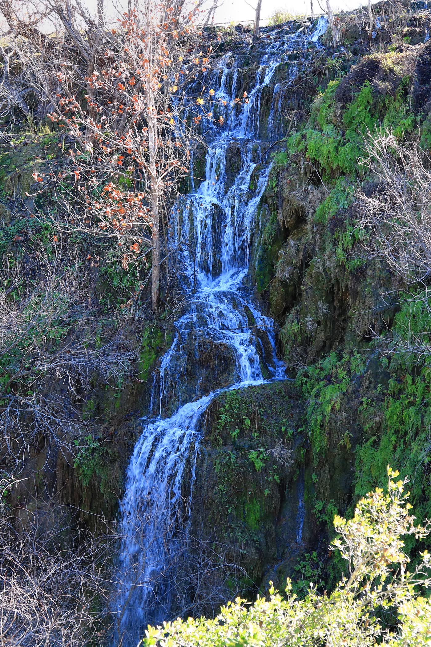 Plate CCLXXI
Colorado Bend
canyonColorado River, San Saba County, Texas
A river bend that still keeps a waterfall.
31.0° N · 98.5° WOpen plate →
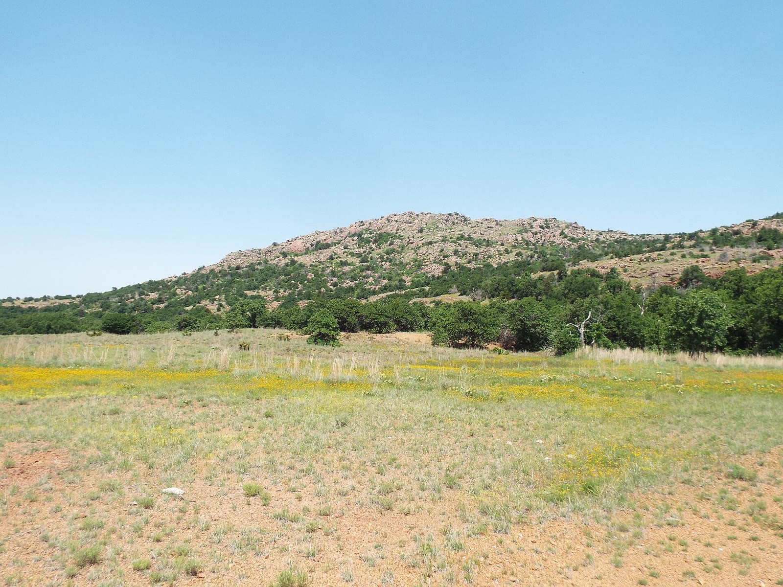 Plate CCLXXII
Wichita Mountains
hillsWichita Mountains NWR, Comanche County, Oklahoma
Granite islands in a sea of grass.
34.8° N · 98.7° WOpen plate →
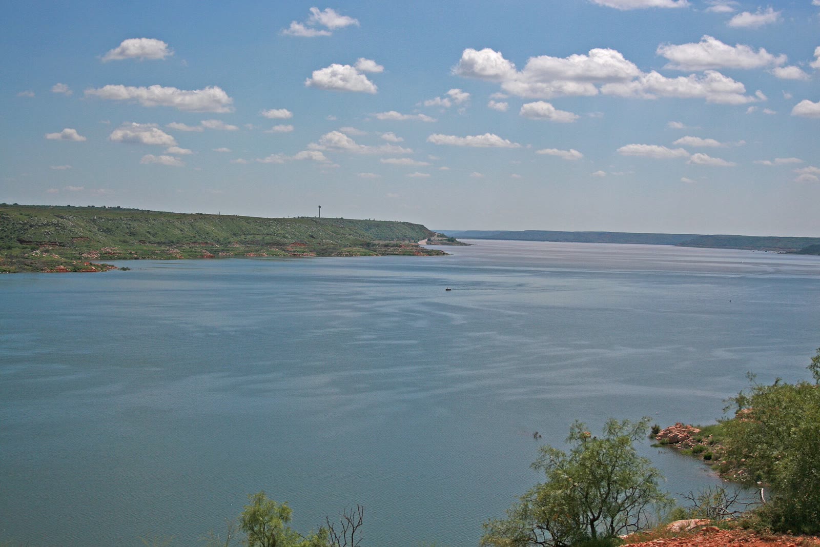 Plate CCLXXV
Lake Meredith
canyonCanadian River breaks, Hutchinson County, Texas
Blue water the Panhandle hid in red breaks.
35.6° N · 101.7° WOpen plate →
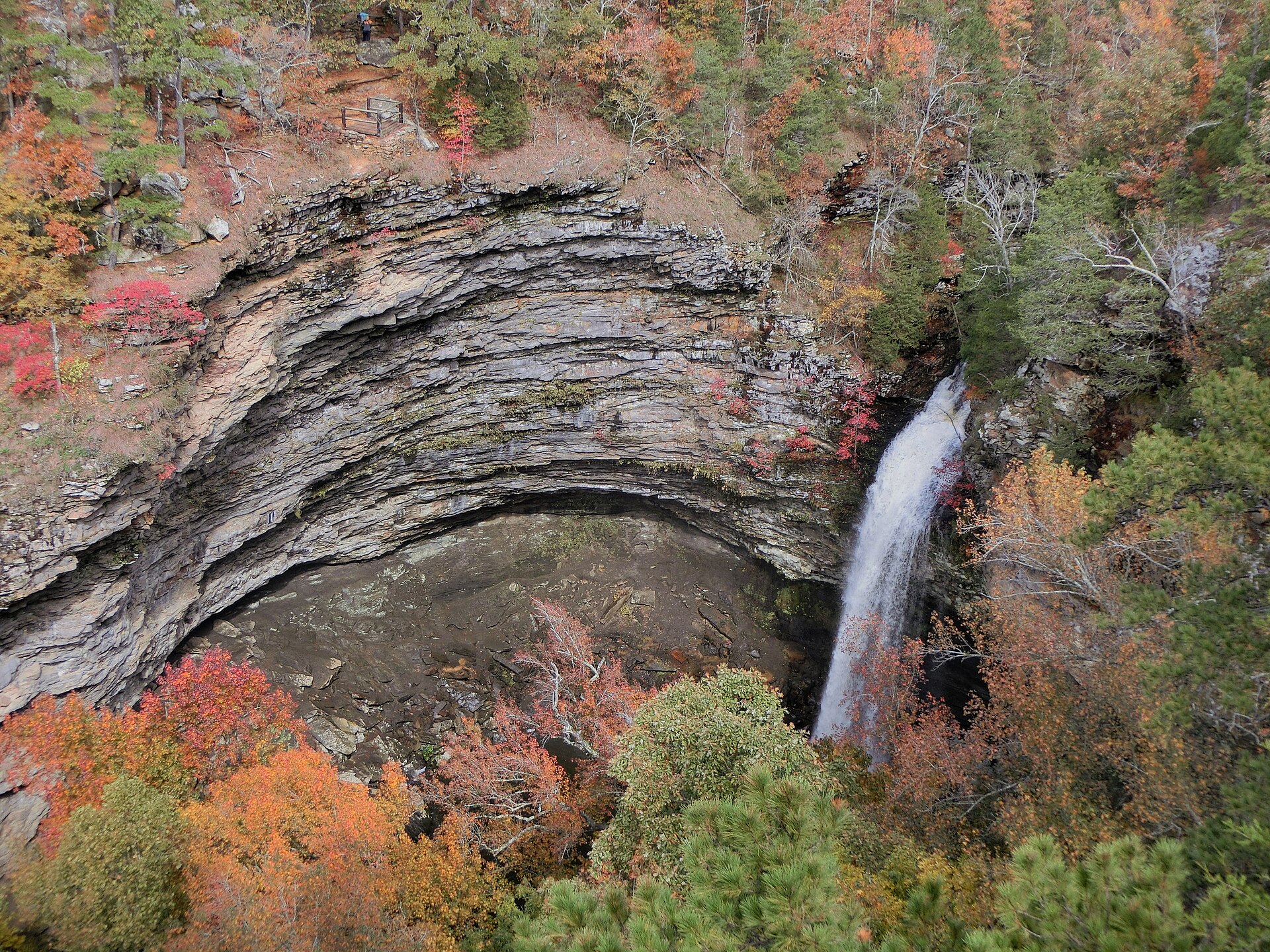 Plate CCCXIX
Petit Jean
canyonPetit Jean State Park, Arkansas River Valley, Arkansas
A white drop in a ring of October sandstone.
35.1° N · 92.9° WOpen plate →
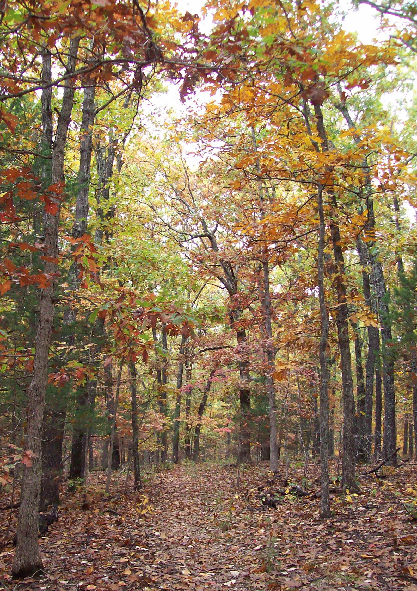 Plate CCCXLI
Hercules Glades
hillsMark Twain National Forest, Taney County, Missouri
Bald limestone and a creek the Ozarks kept.
36.7° N · 92.9° WOpen plate →
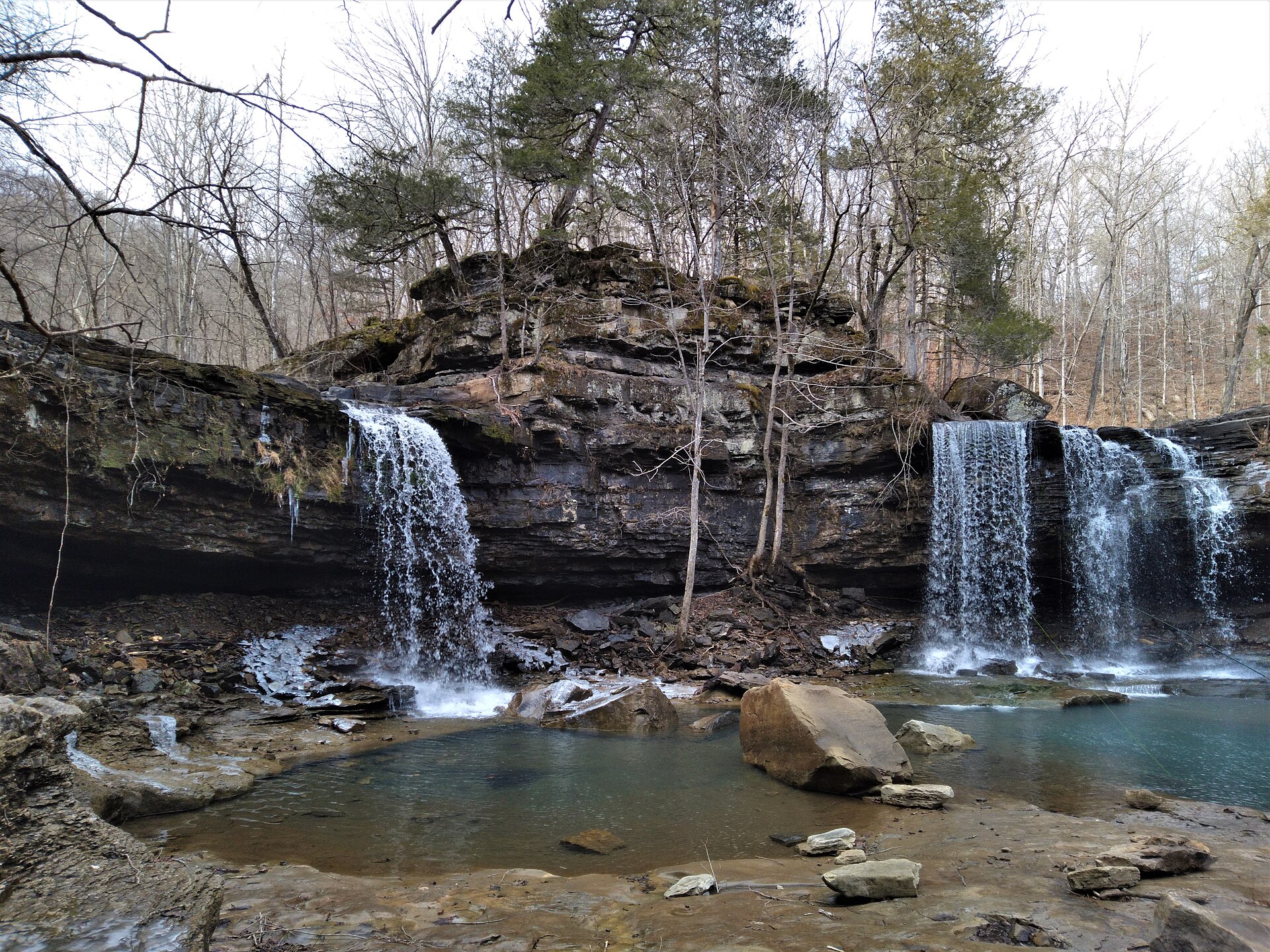 Plate CCCXLVIII
Richland Creek
forestOzark National Forest, Newton County, Arkansas
Twin Falls in a quiet Ozark creek.
35.9° N · 93.4° WOpen plate →
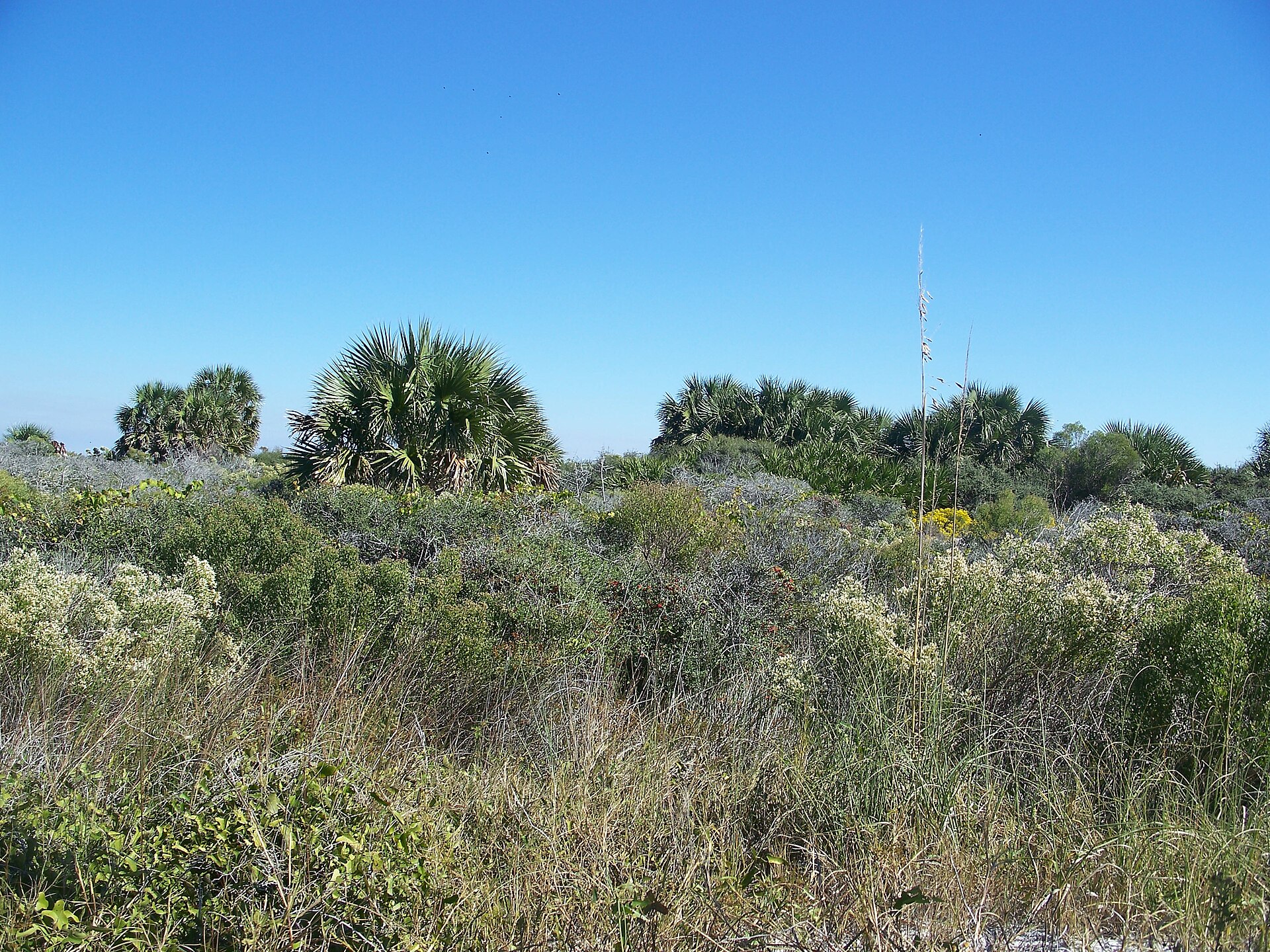 Plate CCCLVI
St. Joseph Peninsula
coastSt. Joseph Peninsula State Park, Gulf County, Florida
A quiet Gulf spit of dune and bay.
29.8° N · 85.4° WOpen plate →
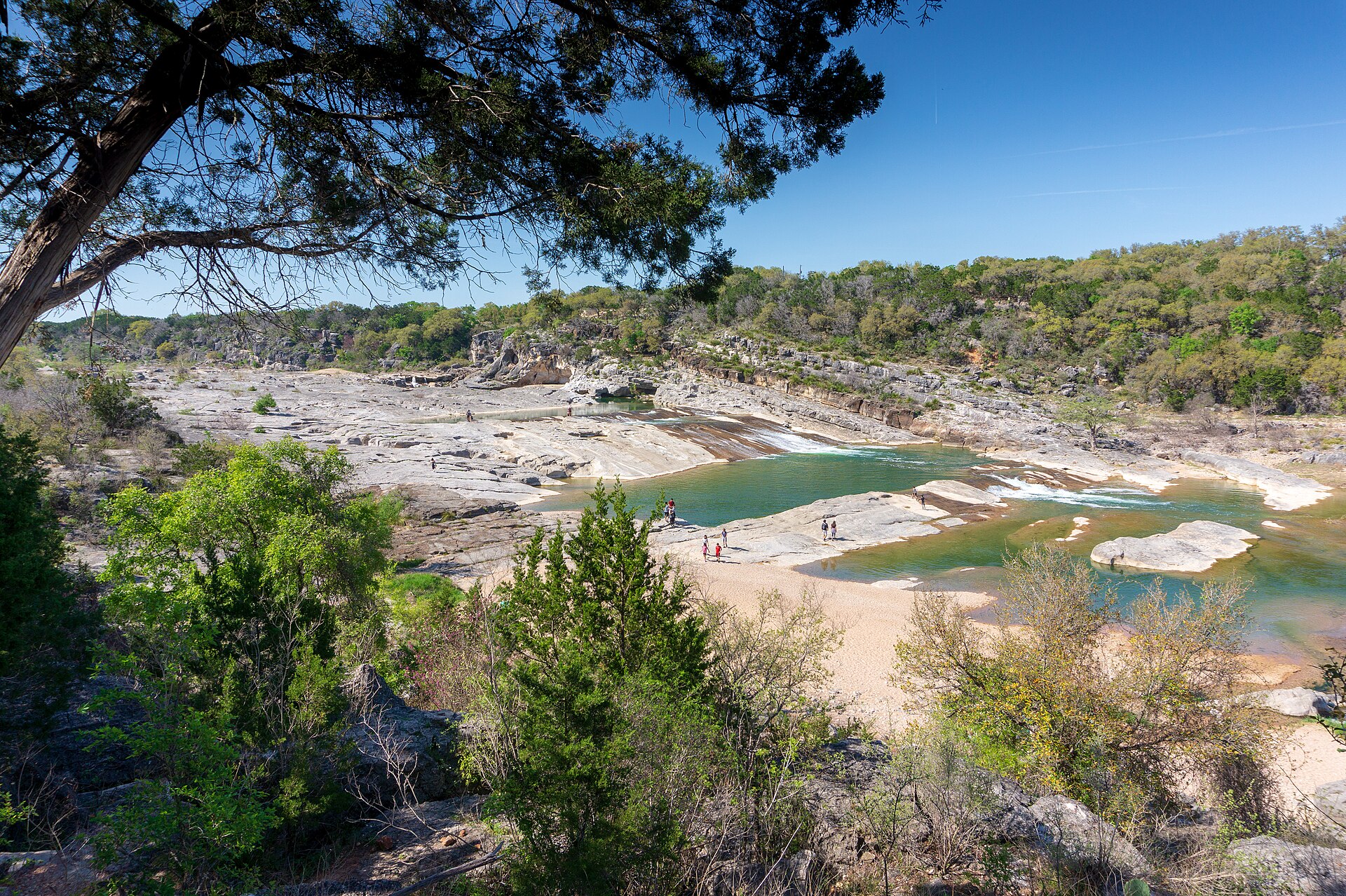 Plate CCCLXIII
Pedernales Falls
canyonBlanco County, east of Johnson City, Texas
A Hill Country river laid out in stone steps.
30.3° N · 98.2° WOpen plate →
Asked at the trailhead
Questions already asked
- What nature destinations are in the US South?
- Wetlands, gulf shores, highland plates, Kissimmee Prairie, and quieter Texas and Oklahoma country — Caprock Canyons, Copper Breaks, Lost Maples, South Llano, Enchanted Rock, Big Bend Ranch, Seminole Canyon, Colorado Bend, Lake Meredith, the Wichita Mountains, and Big Thicket. Open the South index for the Field Atlas list.
Change course