Back to the atlas
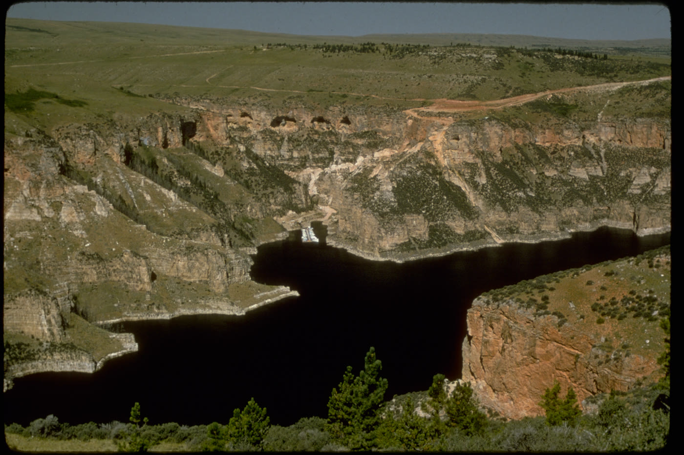
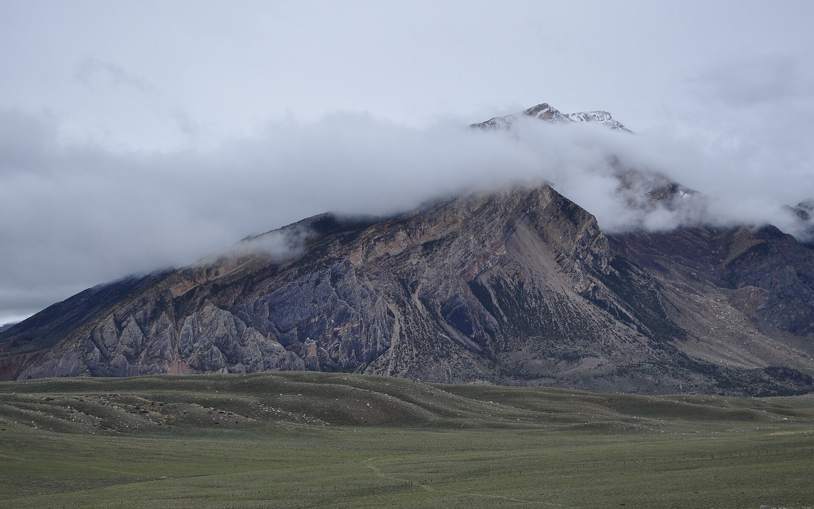
Folded rock and aspen on the pass in October

Fig. 1Folded rock and aspen on the pass in October

Photo: Forest Service - Northern Region · Public domain

Landform

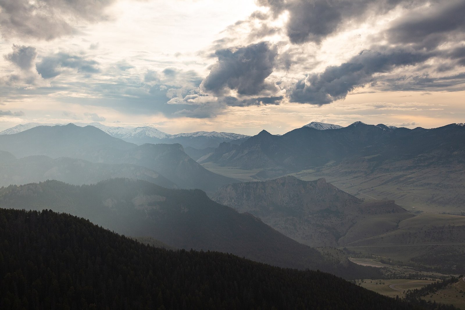
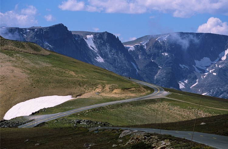
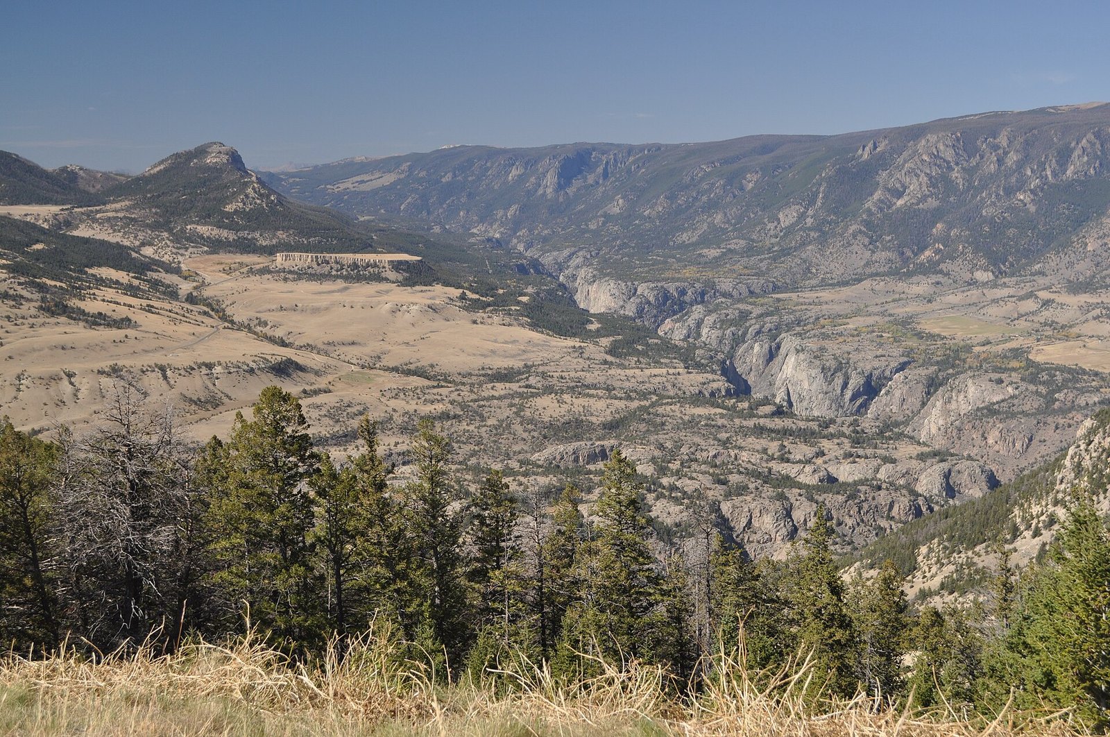
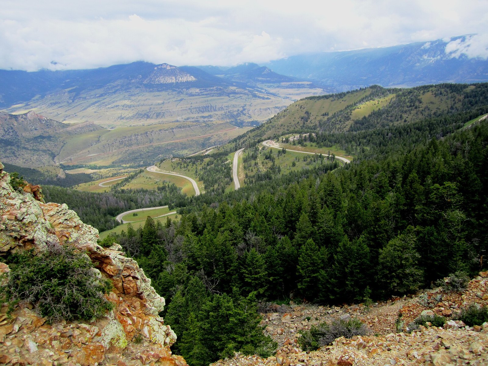
The summit of the byway. Folded rock, aspen, and a drop toward Sunlight Creek, with the Beartooth–Absaroka wall beyond the benches.

Field note

October turns the aspen. The name is older than the highway. Stand at the summit and the Clarks Fork country and Sunlight Basin both show themselves.
A private leaf

Prints from Dead Indian Pass


Instant paper, this copy only. Write on the white — a line the walk still owes you.

The prints

0 / 24

Opening the leaf…

Onward

A day's country


The nearest plates, by the miles.

Hills chapter

More hills destinations


Other US hills plates. See all hills destinations in the USA

Fold-out

On the chart


Vintage map of the United States