The Field Atlas
0/363The divide
Rockies destinations in the USA
The Rockies are the spine of American mountain travel: alpine lakes, granite, and passes that still feel like a frontier.
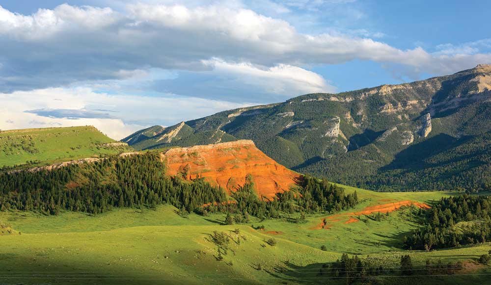
FrontispieceChief Joseph Byway, Wyoming
These plates cover Colorado, Wyoming, Montana, Idaho, and high parks — the ranges travelers mean when they say they want the high country. Larkins Lake and Fourth of July Lake are the quieter Idaho basins. Holland Lake is Swan Range water in Montana; Ice Lake is the San Juan cirque above Silverton.
- Plates
- 96
- States
- 10
Rockies
The plates
Plate XCIIChief Joseph Byway
hillsPark County, Cody to the Beartooth, Wyoming
A red hill in a green park, and a mountain watching it.
44.7° N · 109.4° WOpen plate →
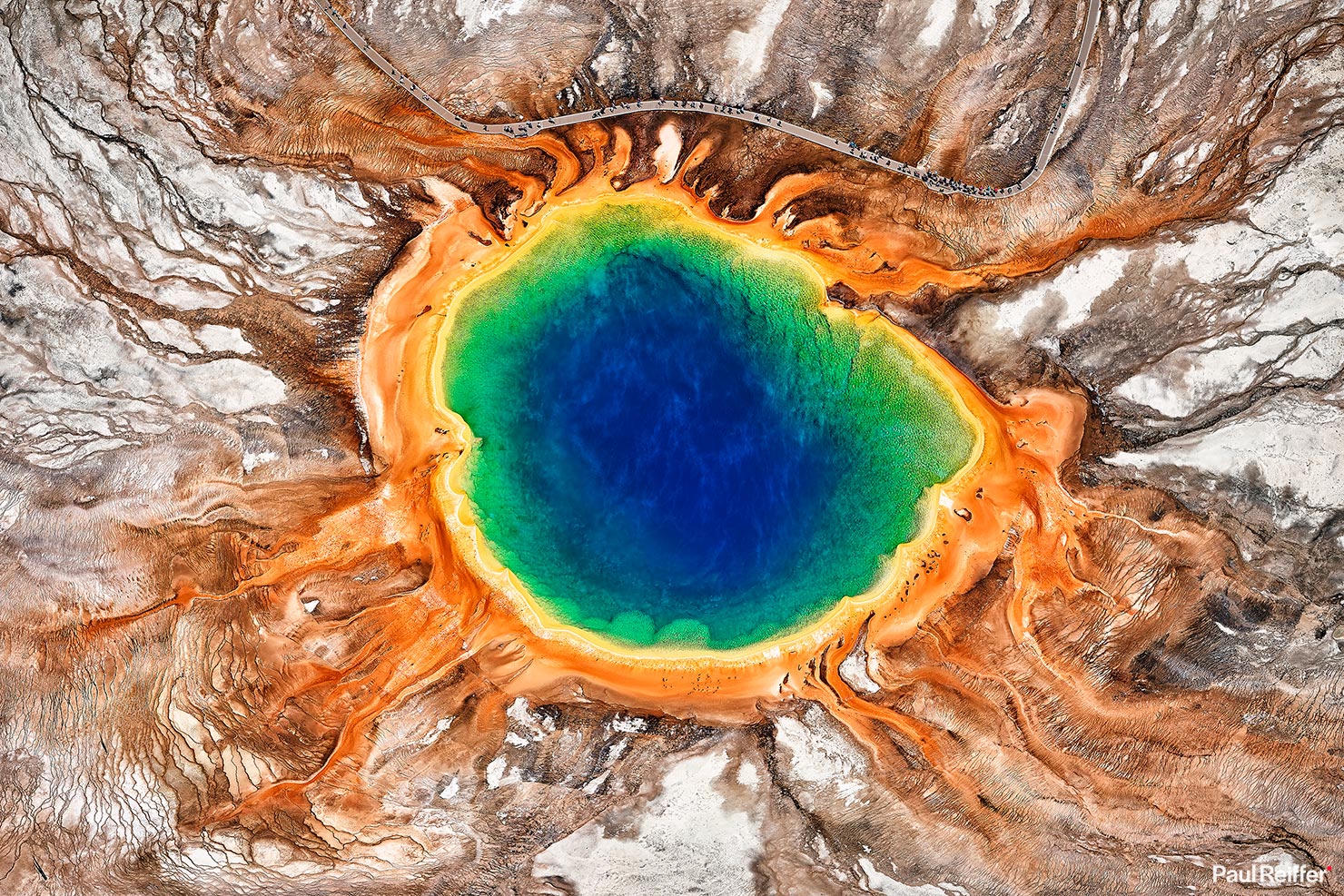 Plate XVI
Yellowstone
volcanicYellowstone Caldera, Wyoming
The ground here is still being written by fire.
44.4° N · 110.6° WOpen plate →
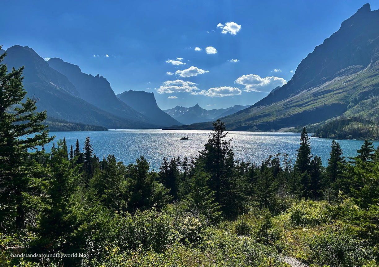 Plate XVII
Glacier Country
alpineGlacier National Park, Montana
A range still wearing the shape of its vanished ice.
48.8° N · 113.8° WOpen plate →
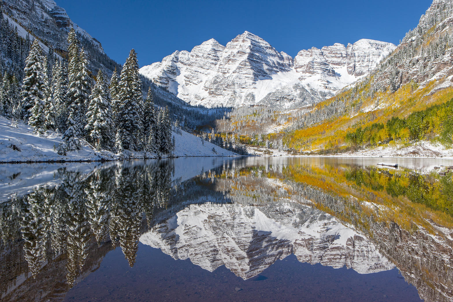 Plate XVIII
Maroon Bells
alpineWhite River National Forest, near Aspen, Colorado
Two matching summits doubled in still water.
39.1° N · 107.0° WOpen plate →
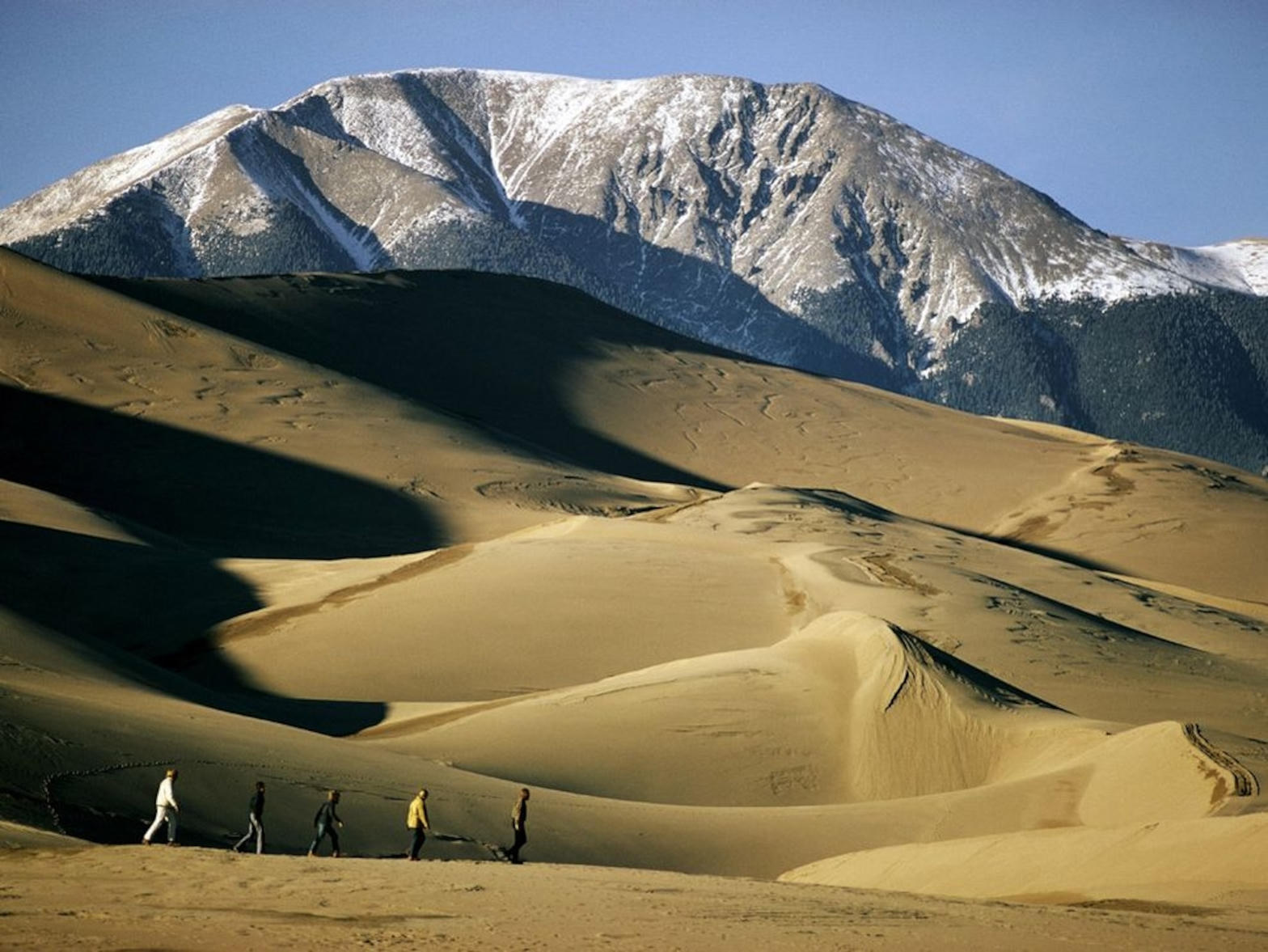 Plate XIX
Great Sand Dunes
duneSan Luis Valley, Colorado
A Sahara parked at the foot of fourteeners.
37.8° N · 105.6° WOpen plate →
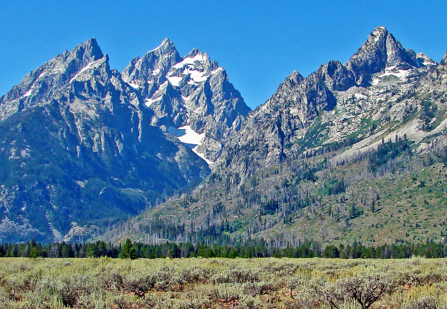 Plate XXXVI
Grand Teton
alpineTeton Range, Jackson Hole, Wyoming
Mountains that begin without asking permission of the valley.
43.8° N · 110.7° WOpen plate →
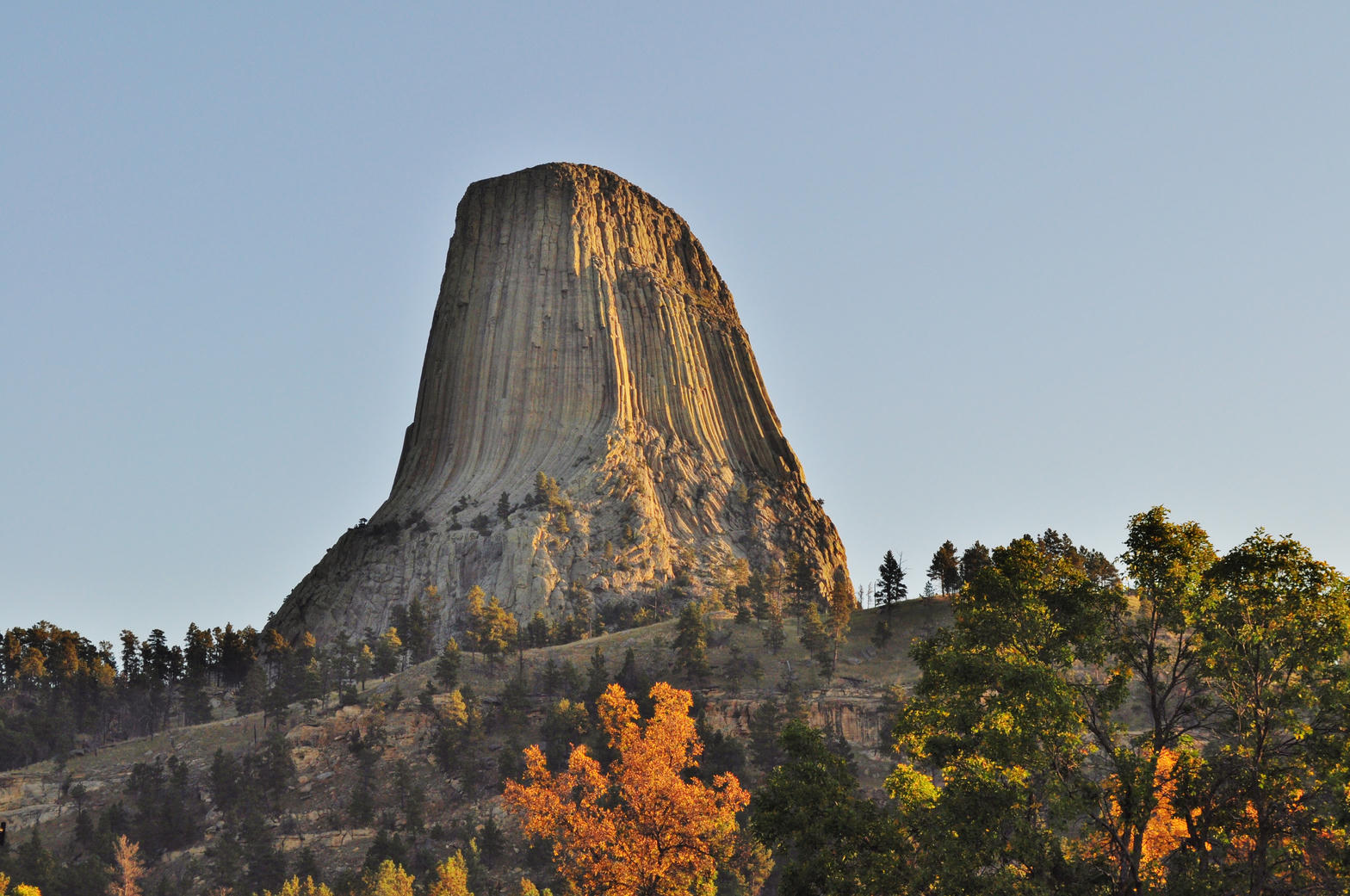 Plate XXXVII
Devils Tower
volcanicBear Lodge Mountains, Black Hills, Wyoming
A single stone column standing in a sea of prairie.
44.6° N · 104.7° WOpen plate →
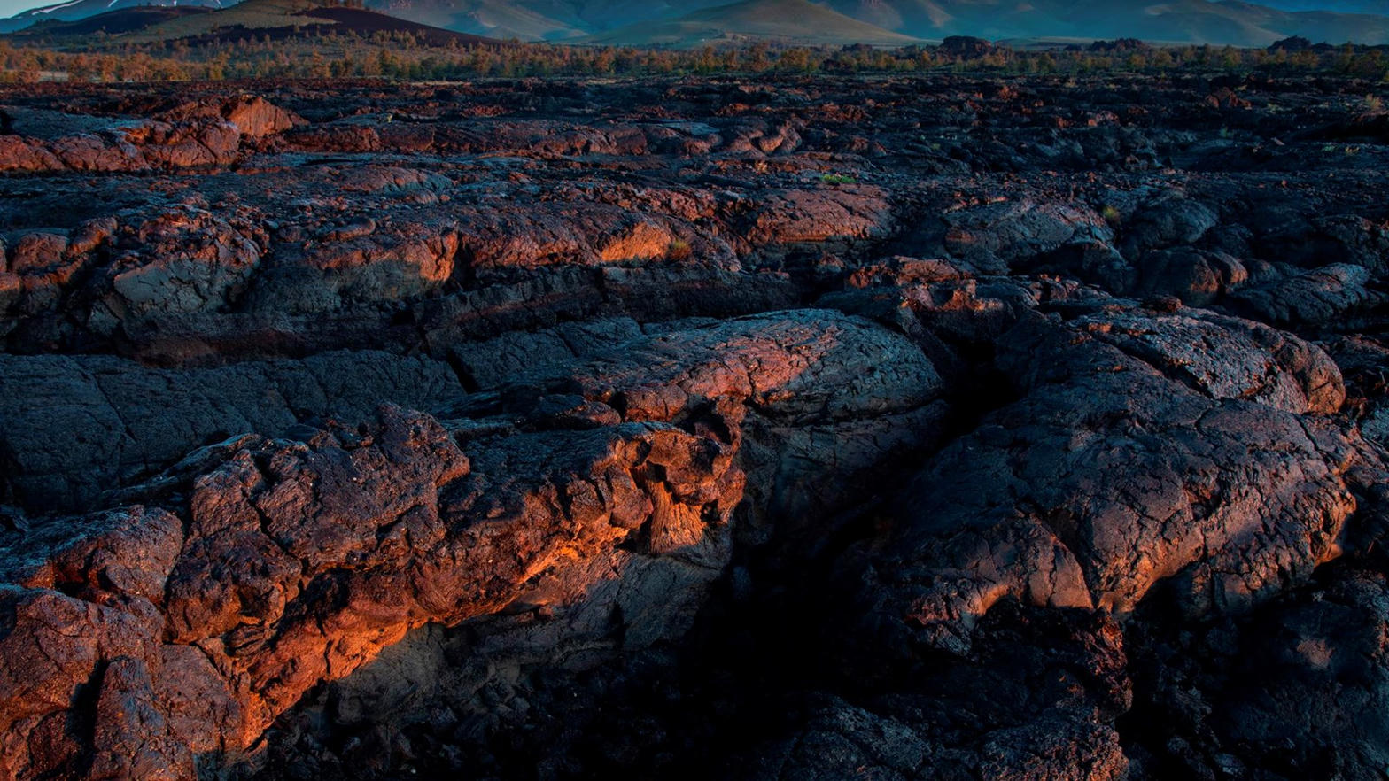 Plate XXXVIII
Craters of the Moon
volcanicSnake River Plain, Idaho
A rehearsal for another planet, left in Idaho.
43.4° N · 113.5° WOpen plate →
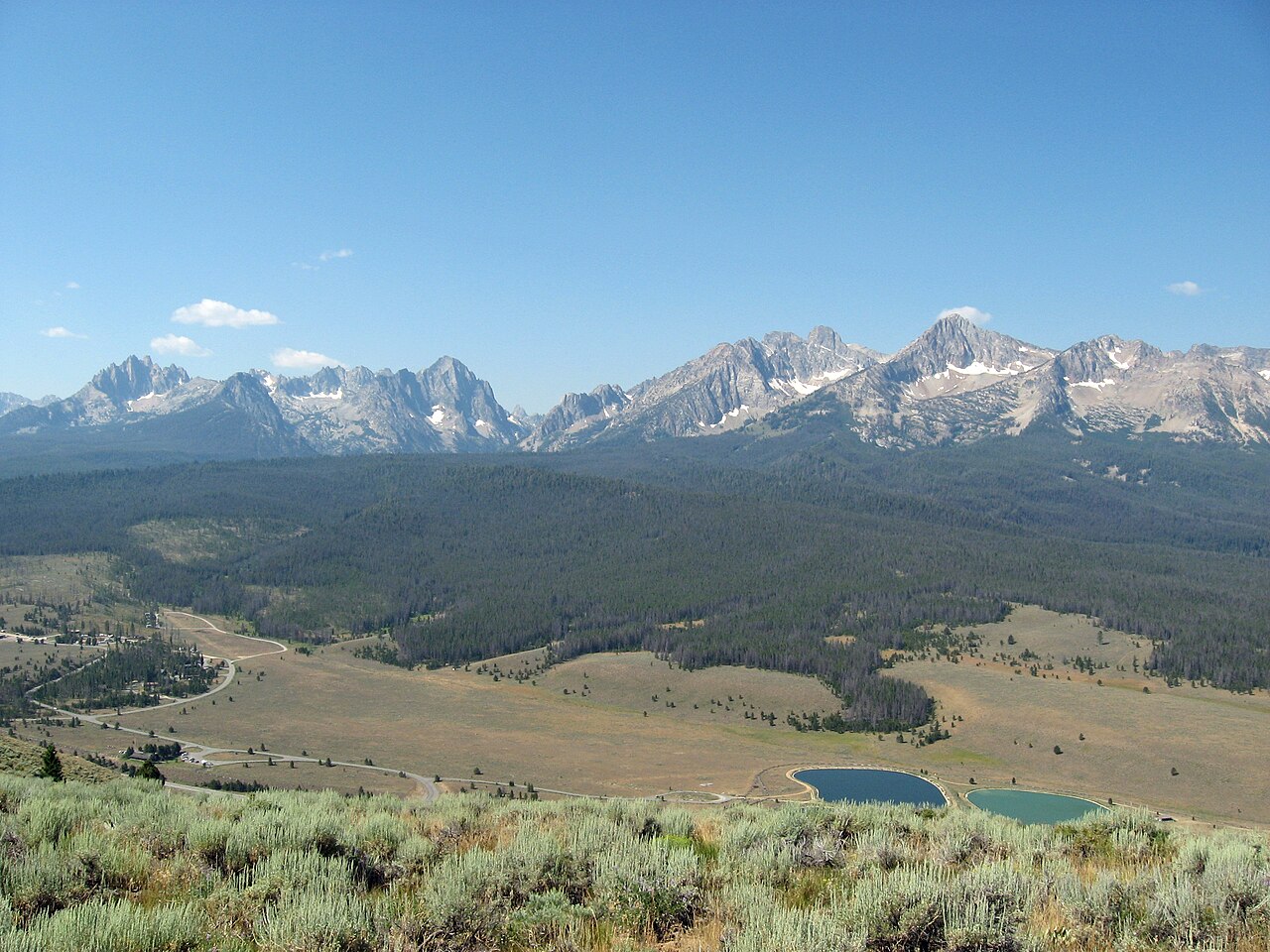 Plate LXXI
The Sawtooths
alpineSawtooth Range, near Stanley, Idaho
A hidden range of teeth above a town of two hundred souls.
44.1° N · 115.0° WOpen plate →
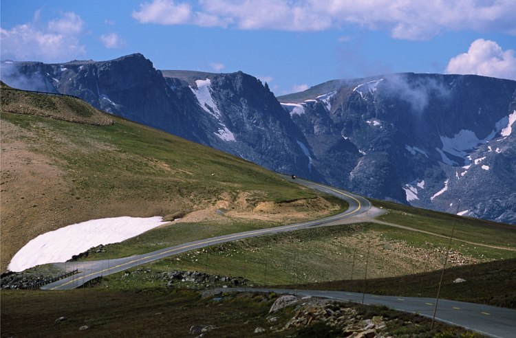 Plate LXXII
Beartooth Pass
alpineBeartooth Highway, Absaroka–Beartooth, Montana / Wyoming
A road that climbs until the trees give up.
45.0° N · 109.5° WOpen plate →
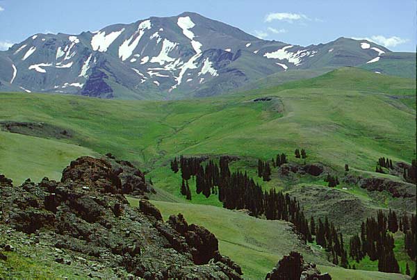 Plate LXXVII
Shoshone National Forest
forestAbsaroka Range, east of Yellowstone, Wyoming
The first forest the country decided to keep.
44.5° N · 109.6° WOpen plate →
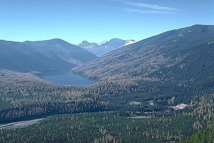 Plate LXXXIII
The Bob
forestBob Marshall Wilderness, Flathead National Forest, Montana
A forest big enough to lose a mountain range inside.
47.6° N · 113.4° WOpen plate →
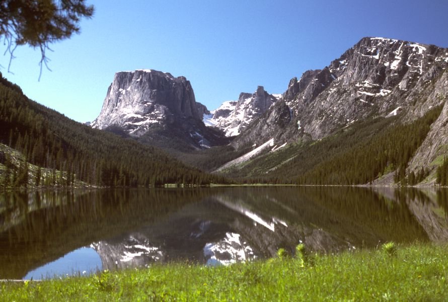 Plate LXXXV
Green River Lakes
alpineWind River Range, Bridger-Teton National Forest, Wyoming
A flat-topped mountain doubled in still water.
43.3° N · 109.9° WOpen plate →
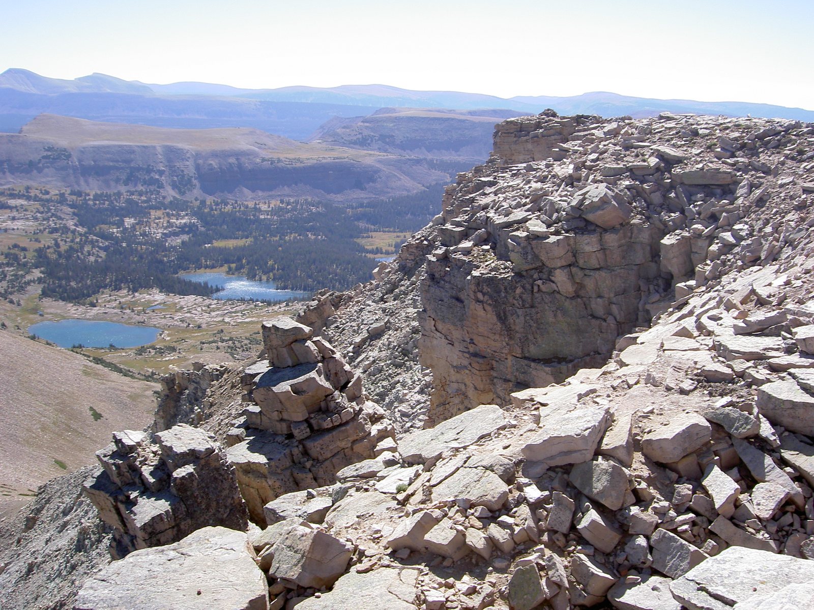 Plate LXXXIX
High Uintas
alpineAshley National Forest, Utah
A range that refused to run north–south.
40.7° N · 110.8° WOpen plate →
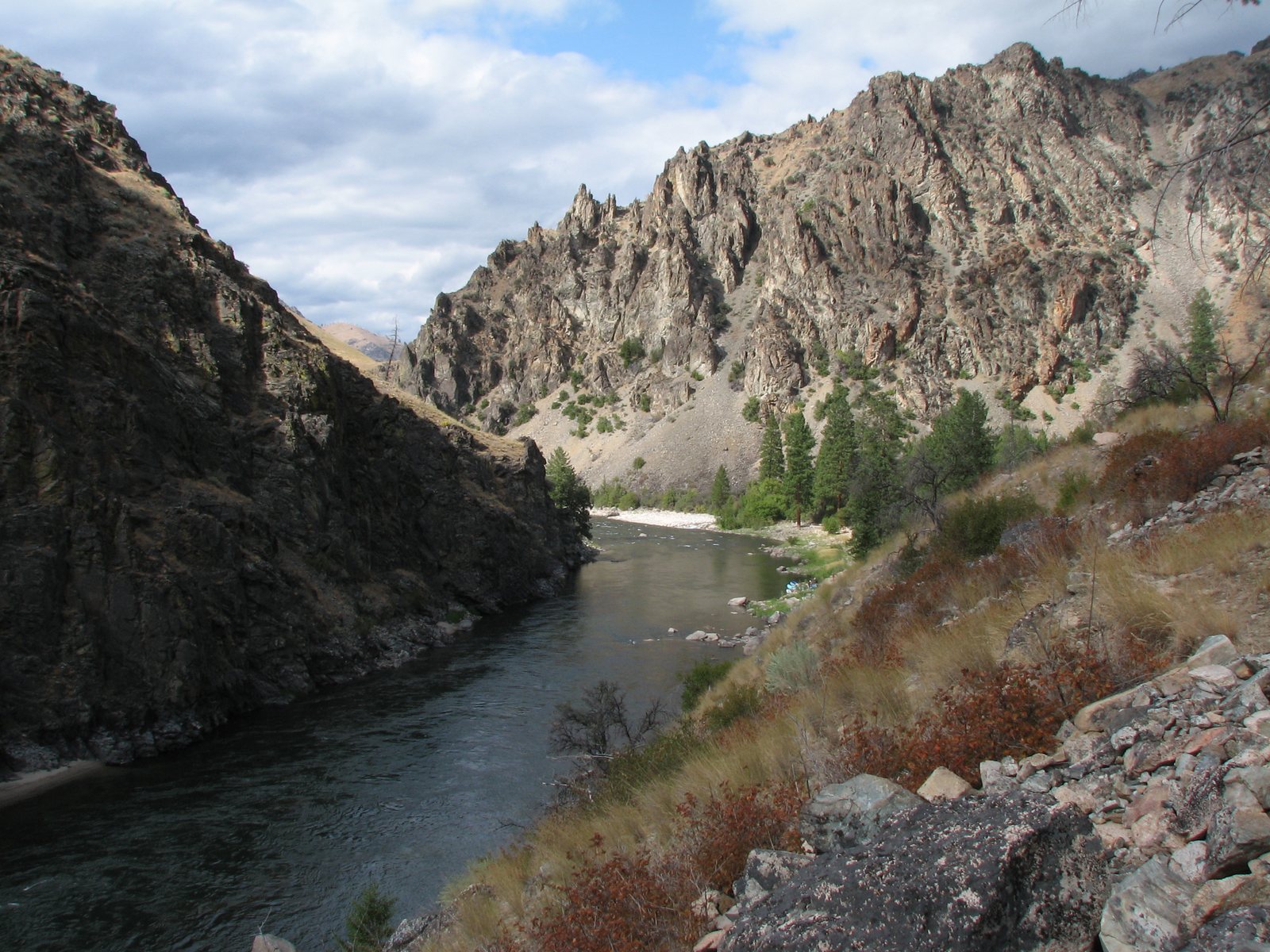 Plate XCI
River of No Return
canyonFrank Church–River of No Return Wilderness, Idaho
A river that named itself by refusing a way back.
44.7° N · 114.8° WOpen plate →
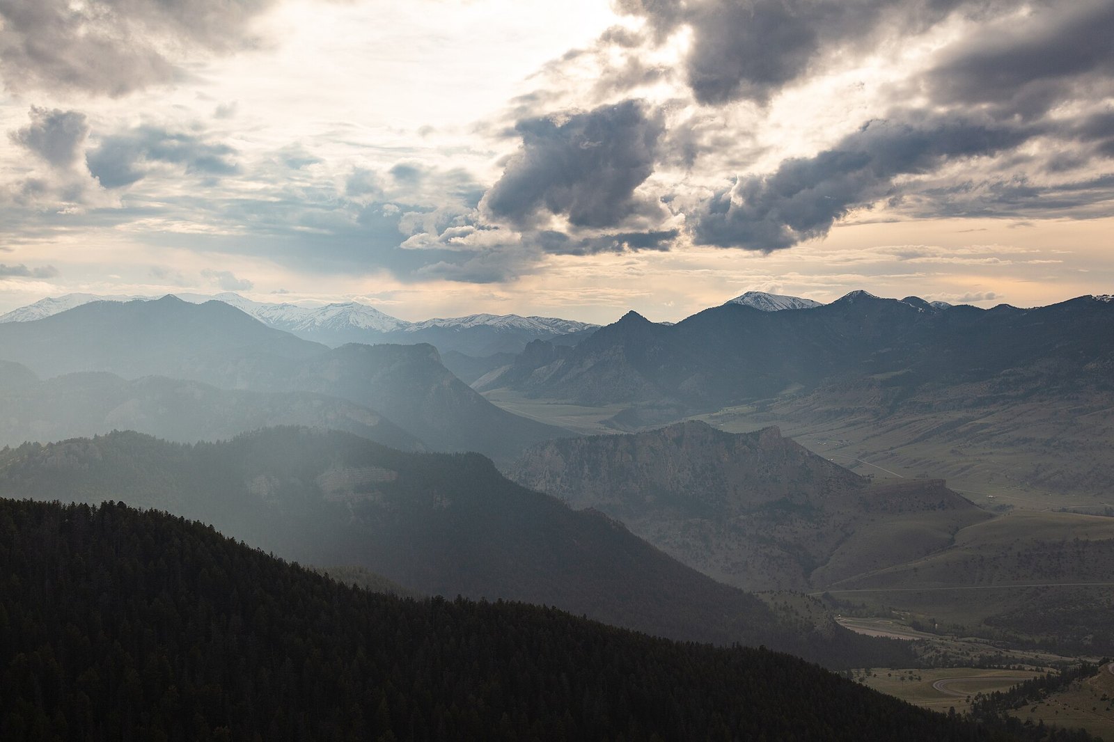 Plate XCIII
Sunlight Basin
alpineAbsaroka Range, north of Cody, Wyoming
A hidden valley the mountains forgot to close.
44.8° N · 109.5° WOpen plate →
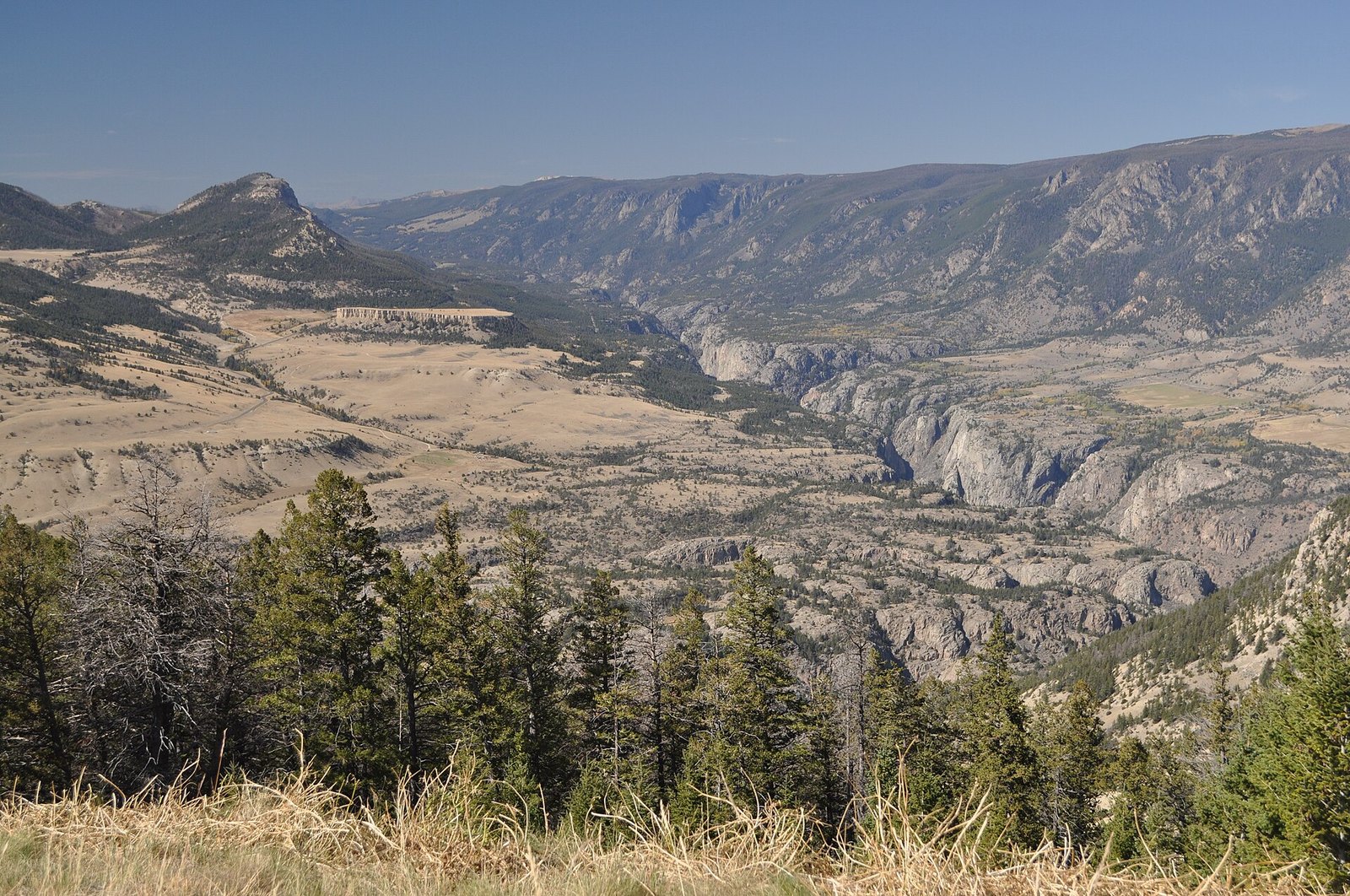 Plate XCIV
Dead Indian Pass
hillsChief Joseph Scenic Byway, Wyoming
A pass that opens the Absarokas like a door.
44.7° N · 109.4° WOpen plate →
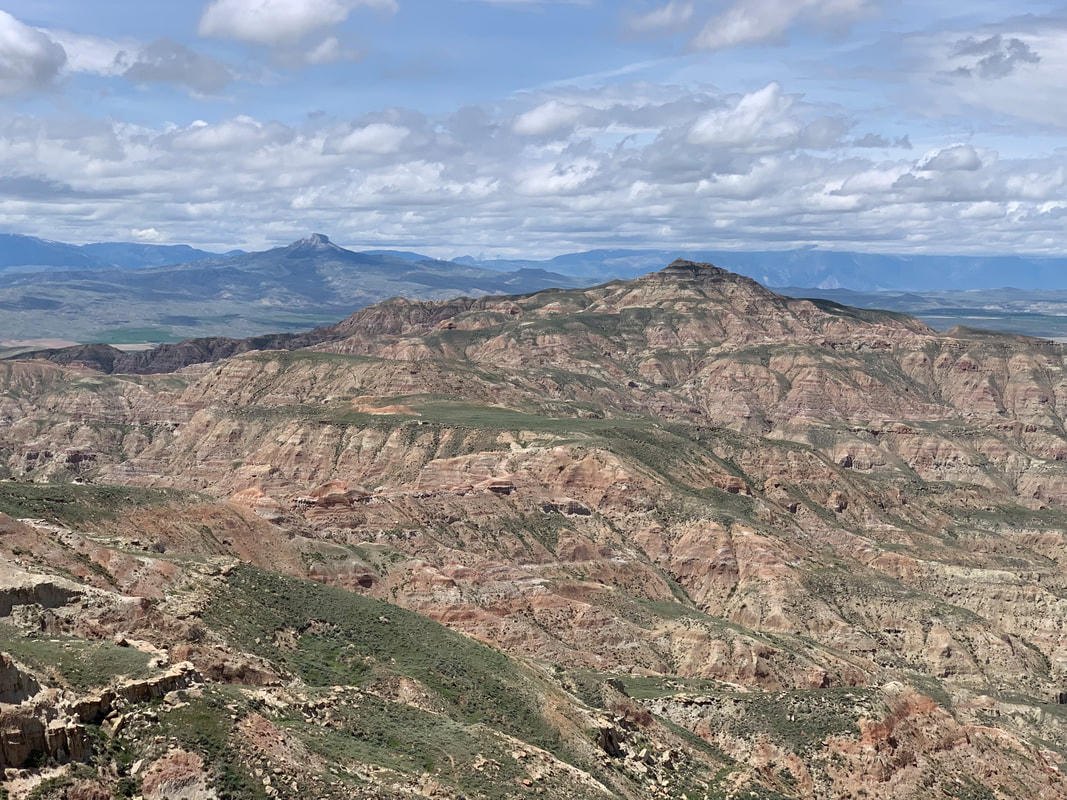 Plate XCV
McCullough Peaks
desertBighorn Basin, east of Cody, Wyoming
A naked range of colored hills the basin kept for itself.
44.6° N · 108.8° WOpen plate →
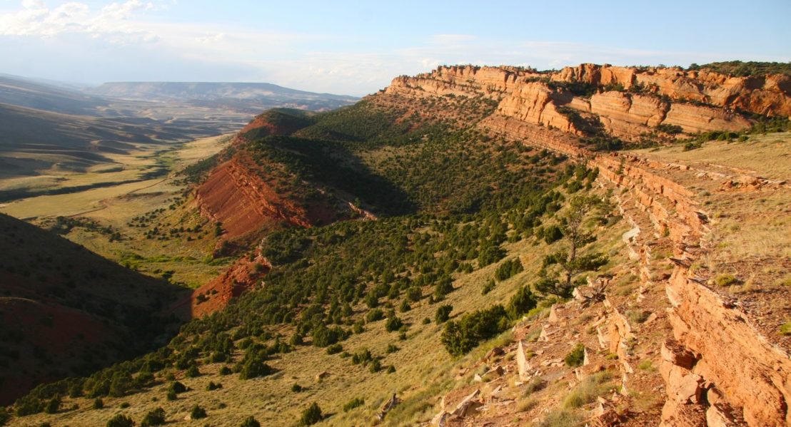 Plate XCVI
Red Canyon
canyonsouth of Lander, Wind River Country, Wyoming
A red book of stone left open beside the highway.
42.7° N · 108.7° WOpen plate →
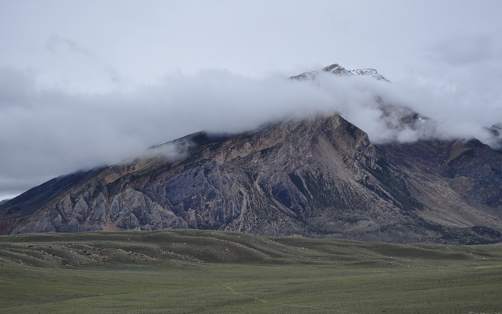 Plate XCVII
Clarks Fork Canyon
canyonClarks Fork of the Yellowstone, Absaroka front, Wyoming
A white canyon the Beartooths cut on their way out.
44.9° N · 109.3° WOpen plate →
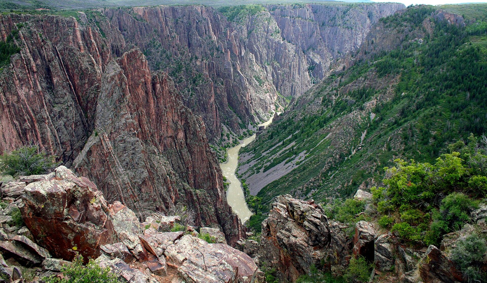 Plate XCVIII
Black Canyon of the Gunnison
canyonGunnison River, Colorado
A canyon so narrow the day never quite arrives.
38.6° N · 107.7° WOpen plate →
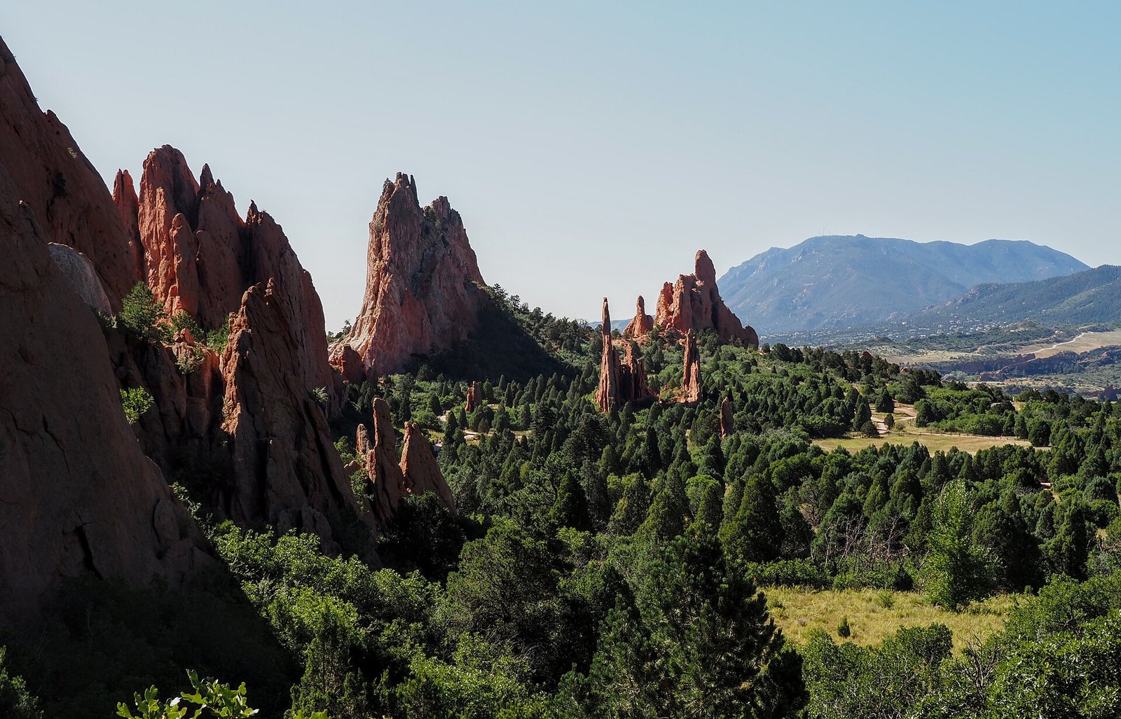 Plate XCIX
Garden of the Gods
hillsColorado Springs, Front Range, Colorado
Red towers holding a mountain in the doorway.
38.9° N · 104.9° WOpen plate →
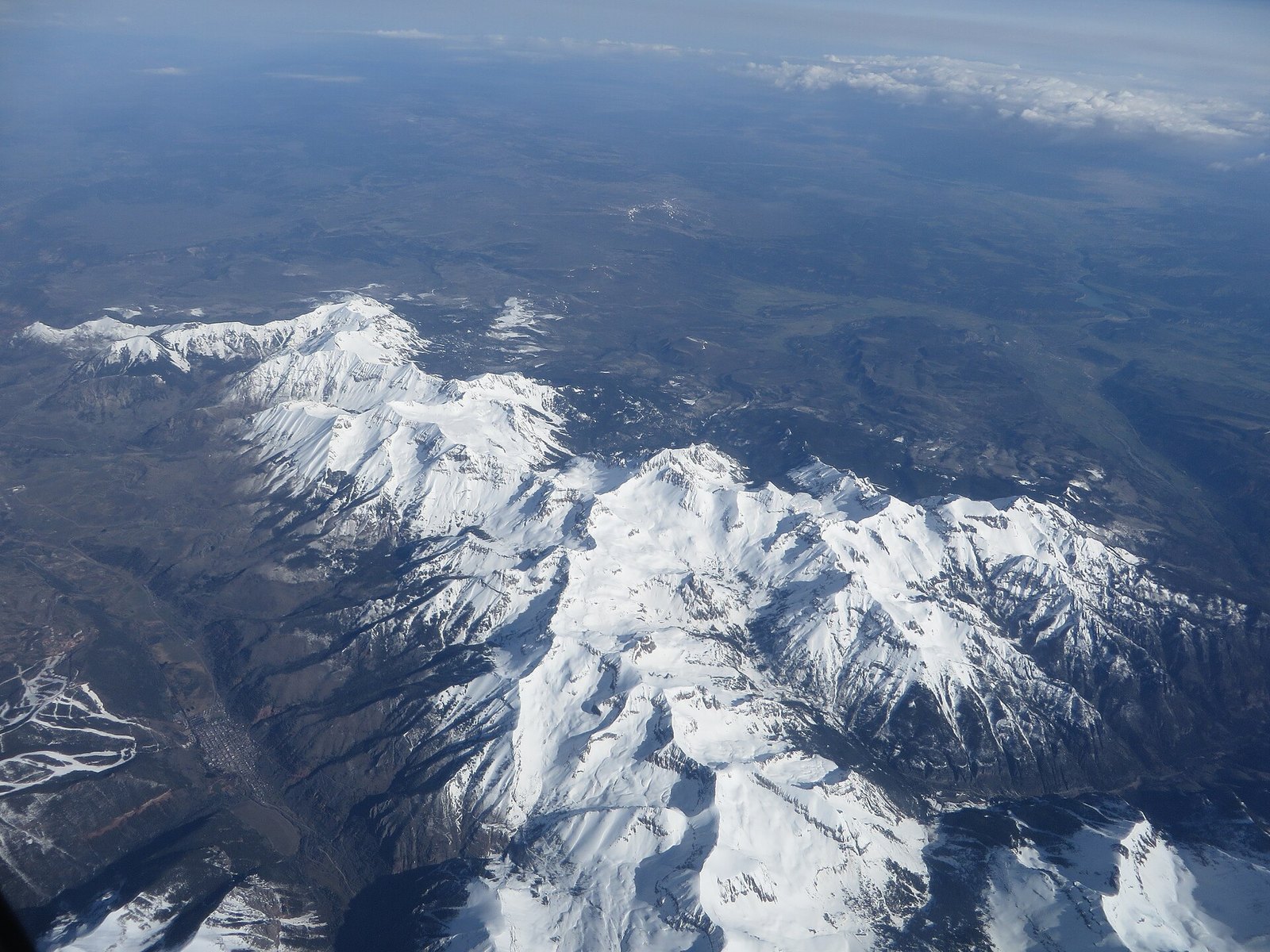 Plate C
Mount Sneffels
alpineSan Juan Mountains, near Ouray, Colorado
A mountain that learned to be a horn.
38.0° N · 107.8° WOpen plate →
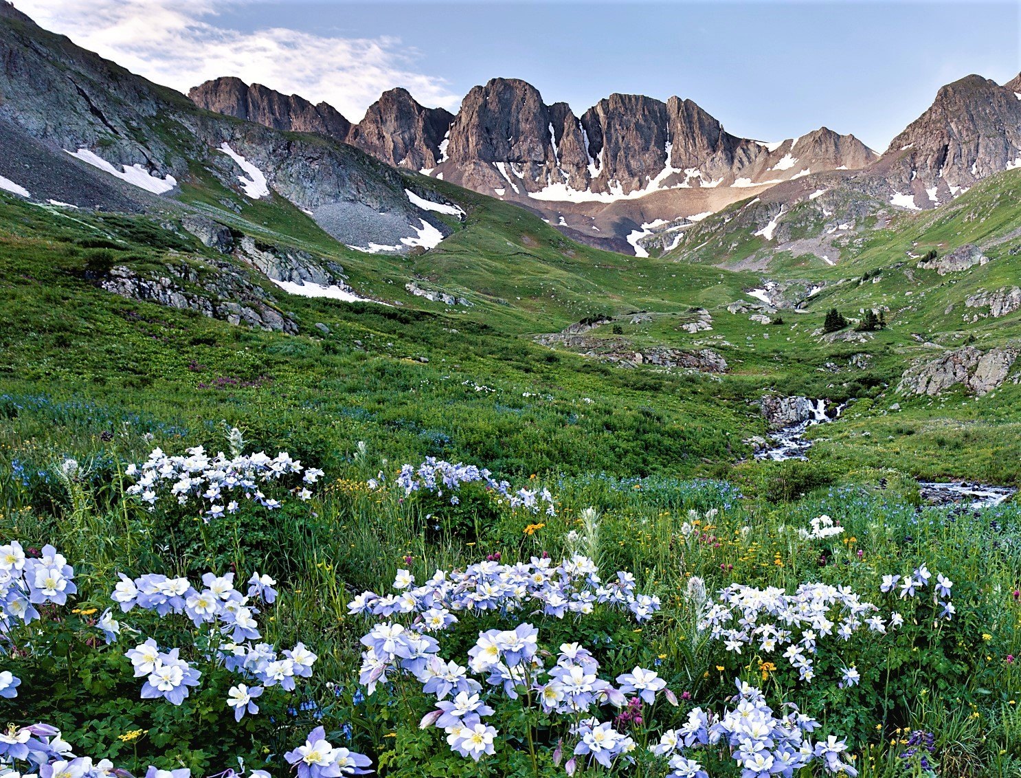 Plate CI
American Basin
alpineHandies Peak, San Juan Mountains, Colorado
A high meadow that blooms like a second sky.
37.9° N · 107.5° WOpen plate →
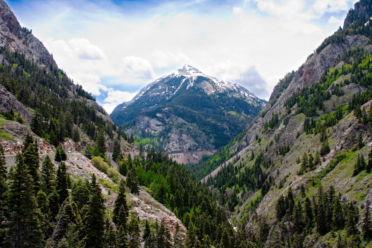 Plate CII
Red Mountain Pass
volcanicMillion Dollar Highway, San Juan Mountains, Colorado
Mountains that rusted in place.
37.9° N · 107.7° WOpen plate →
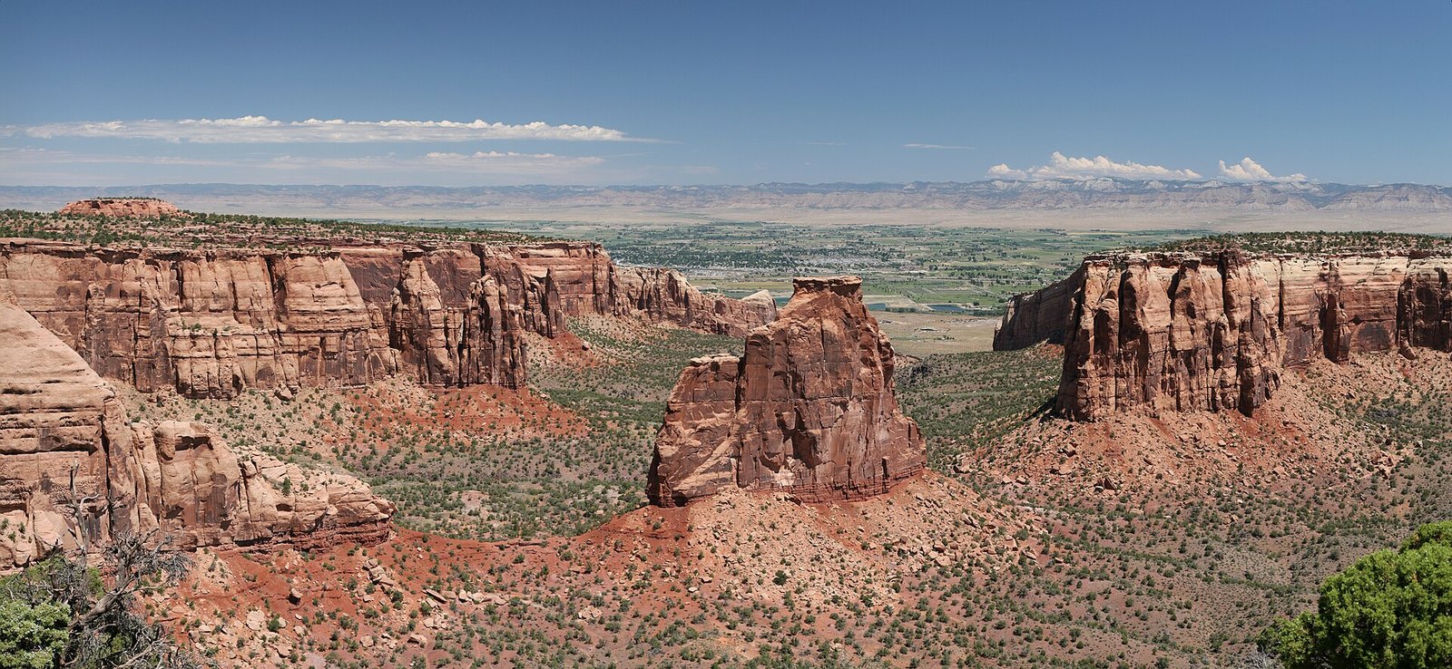 Plate CIII
Colorado National Monument
canyonGrand Valley, near Grand Junction, Colorado
A red canyon country the valley kept for a back wall.
39.0° N · 108.7° WOpen plate →
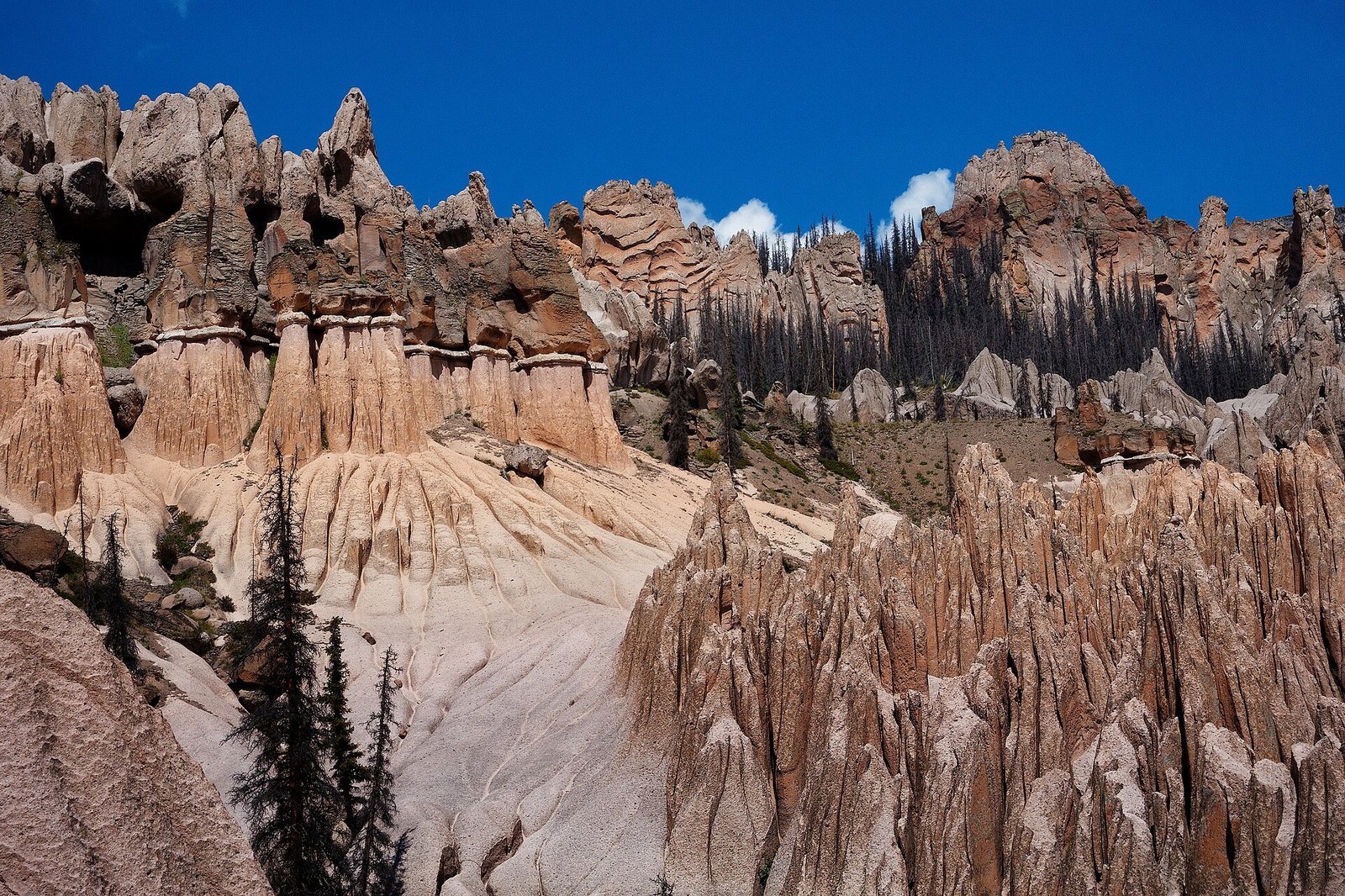 Plate CIV
Wheeler Geologic Area
volcanicLa Garita Wilderness, Colorado
A town the volcano built and the weather unbuilt.
37.9° N · 106.6° WOpen plate →
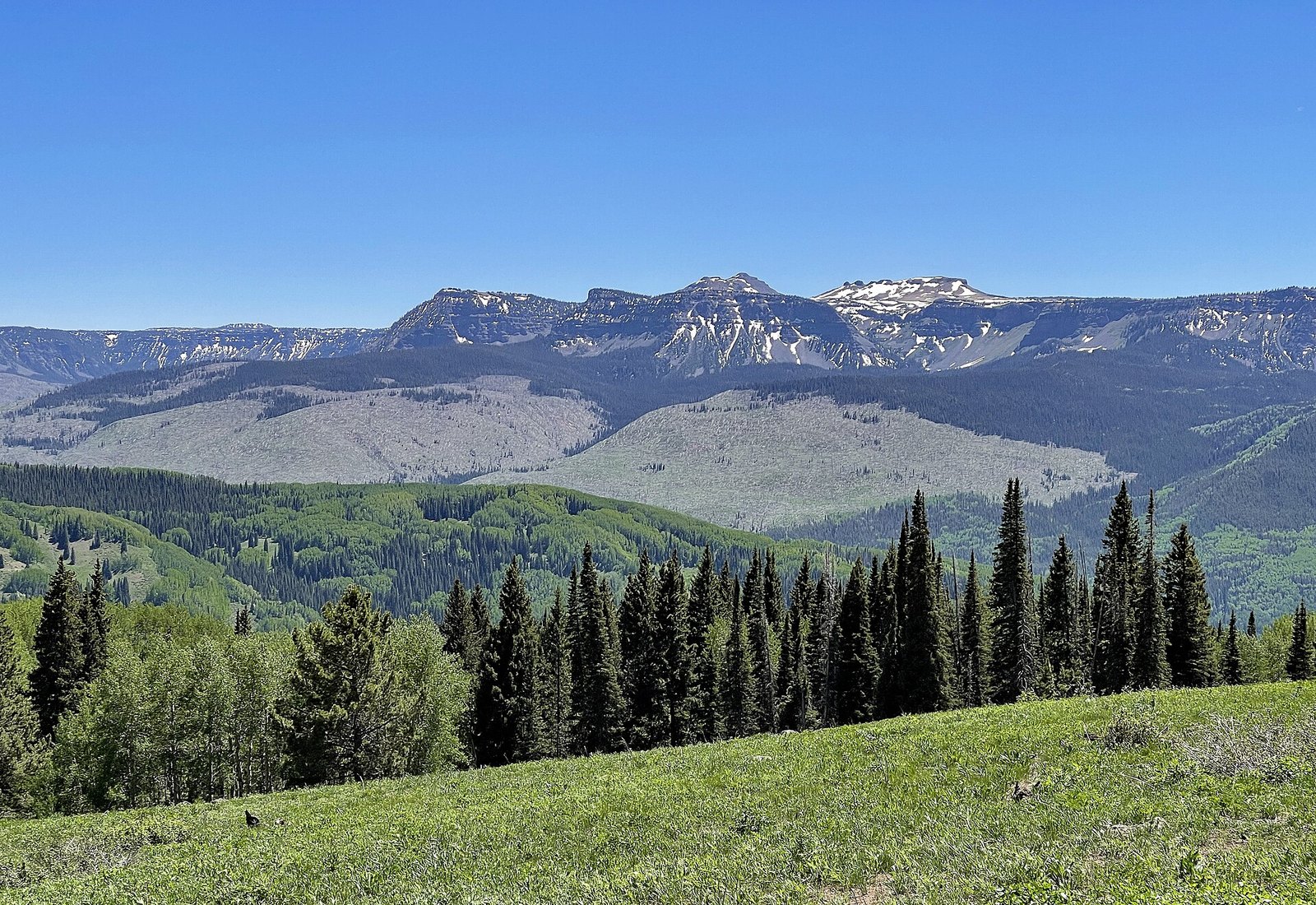 Plate CVI
Flat Tops
hillsWhite River Plateau, Colorado
Mountains that chose to be a table.
40.0° N · 107.3° WOpen plate →
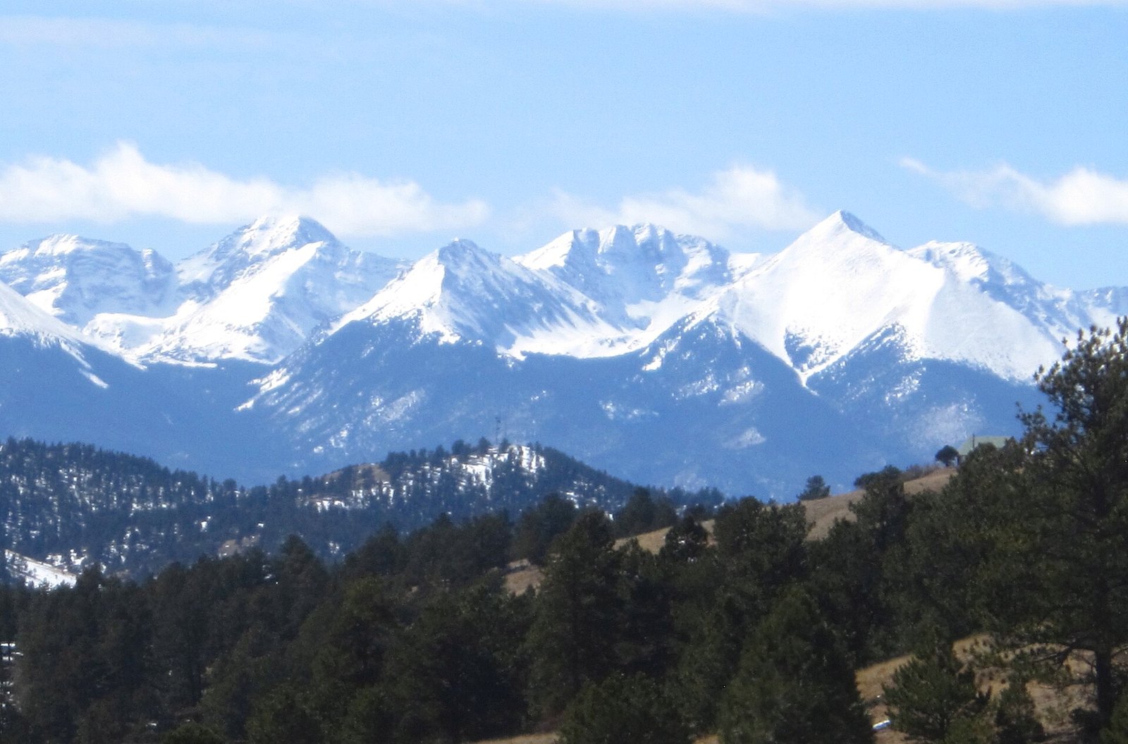 Plate CVII
Sangre de Cristo Range
alpineSan Luis Valley front, Colorado
A range that stands up like a single sentence.
37.6° N · 105.5° WOpen plate →
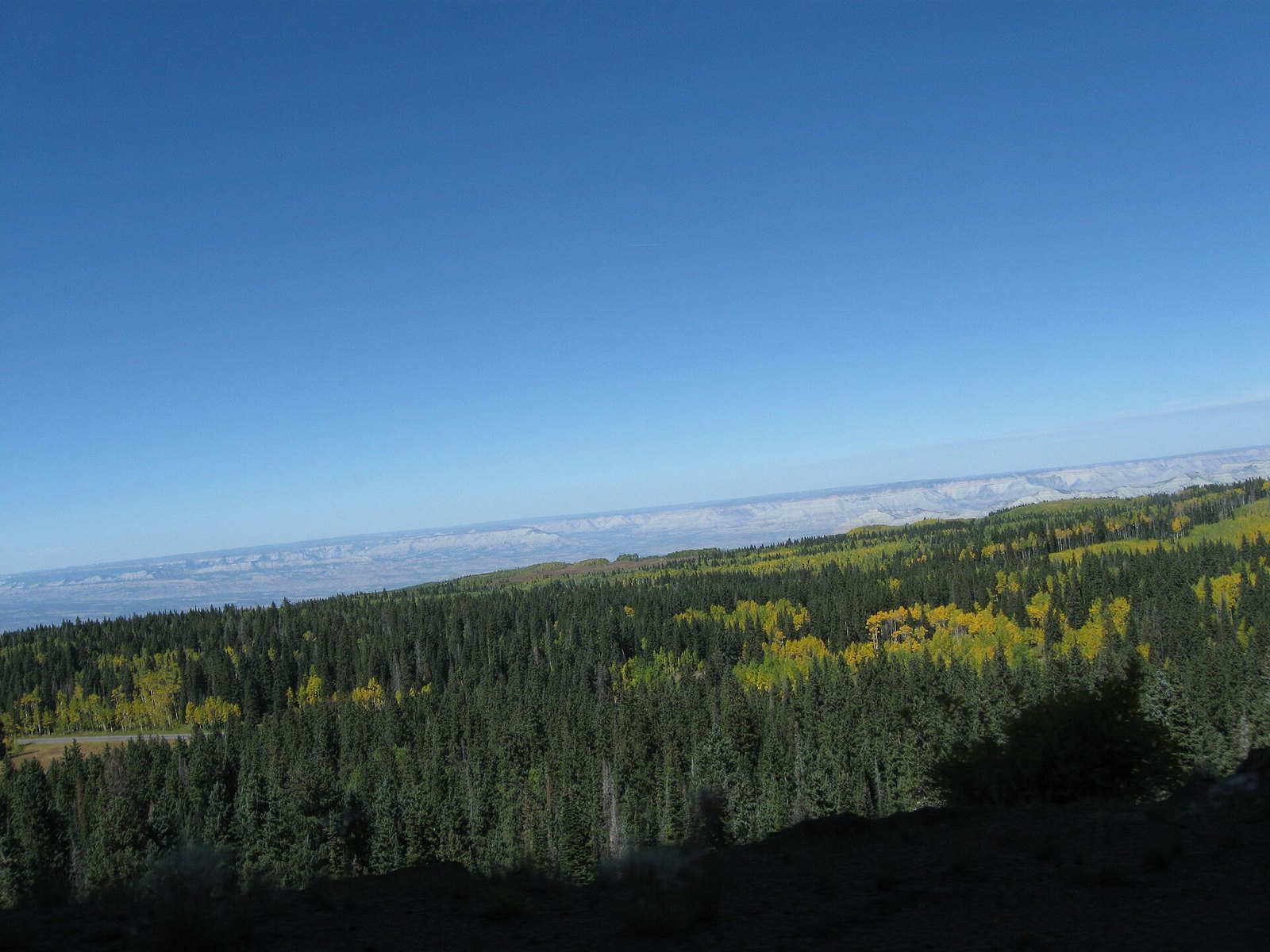 Plate CVIII
Grand Mesa
forestwestern Colorado, above the Grand Valley, Colorado
A forest that learned to live on a table.
39.0° N · 108.0° WOpen plate →
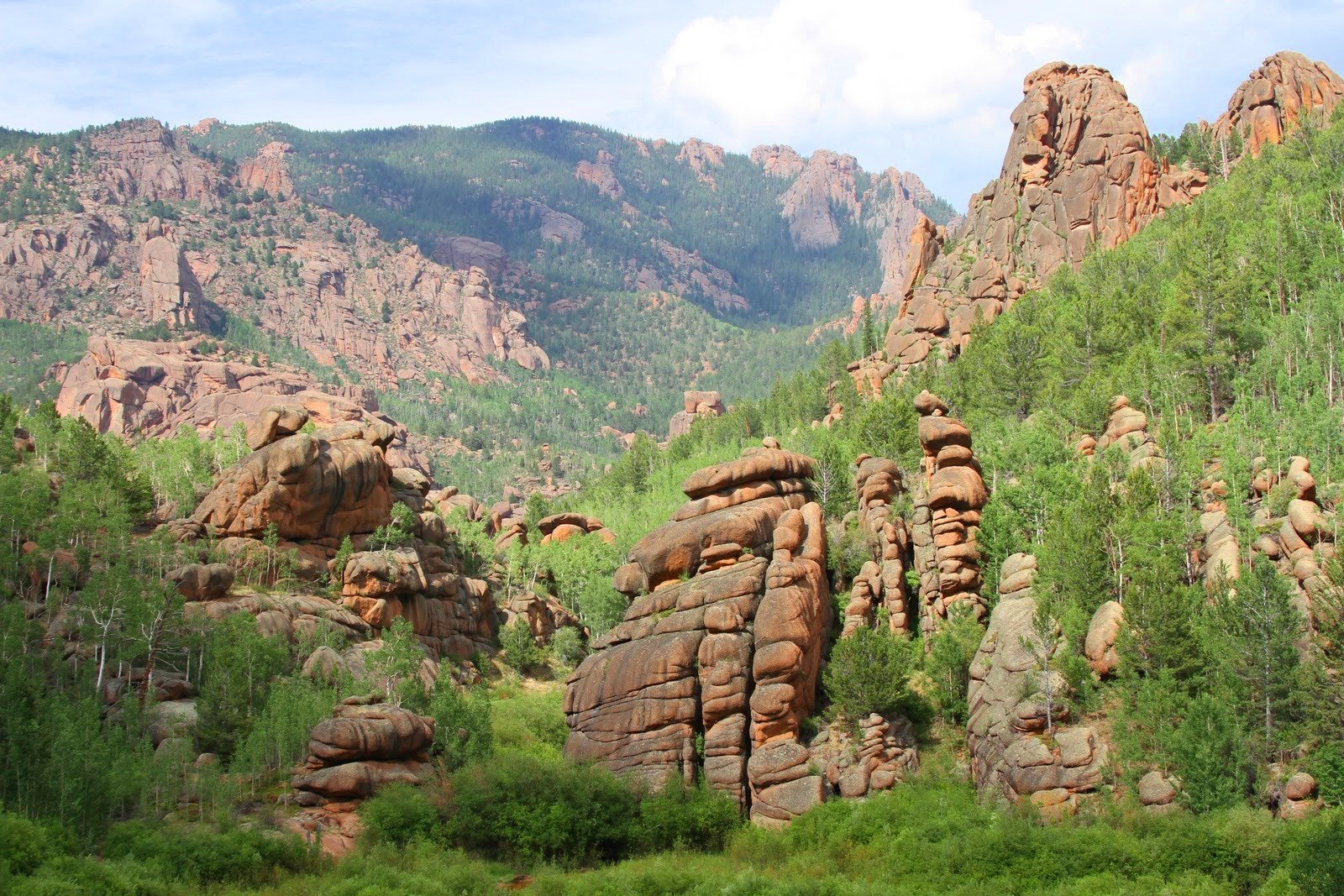 Plate CIX
Lost Creek Wilderness
forestPike National Forest, Front Range, Colorado
A wilderness that hides its own river.
39.3° N · 105.5° WOpen plate →
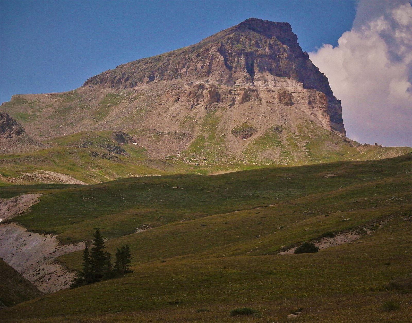 Plate CX
Uncompahgre Peak
alpineSan Juan Mountains, north of Lake City, Colorado
A mountain that chose bulk over a horn.
38.1° N · 107.5° WOpen plate →
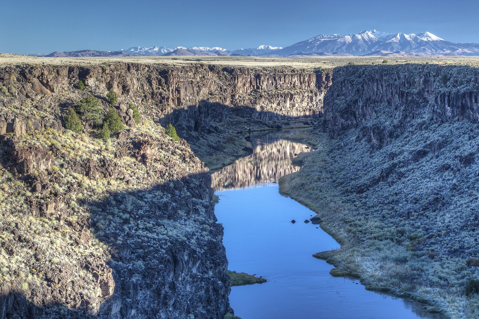 Plate CXVI
Rio Grande Gorge
canyonTaos Plateau, New Mexico
A crack the river opened in a lava floor.
36.5° N · 105.7° WOpen plate →
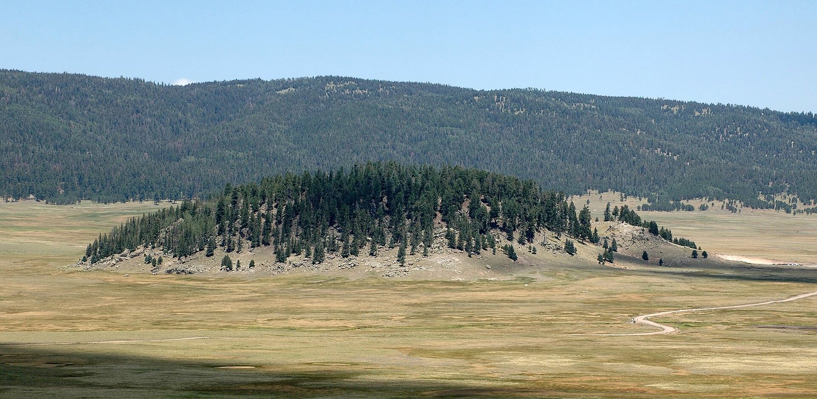 Plate CXIX
Valles Caldera
volcanicJemez Mountains, New Mexico
A mountain that became a meadow.
35.9° N · 106.5° WOpen plate →
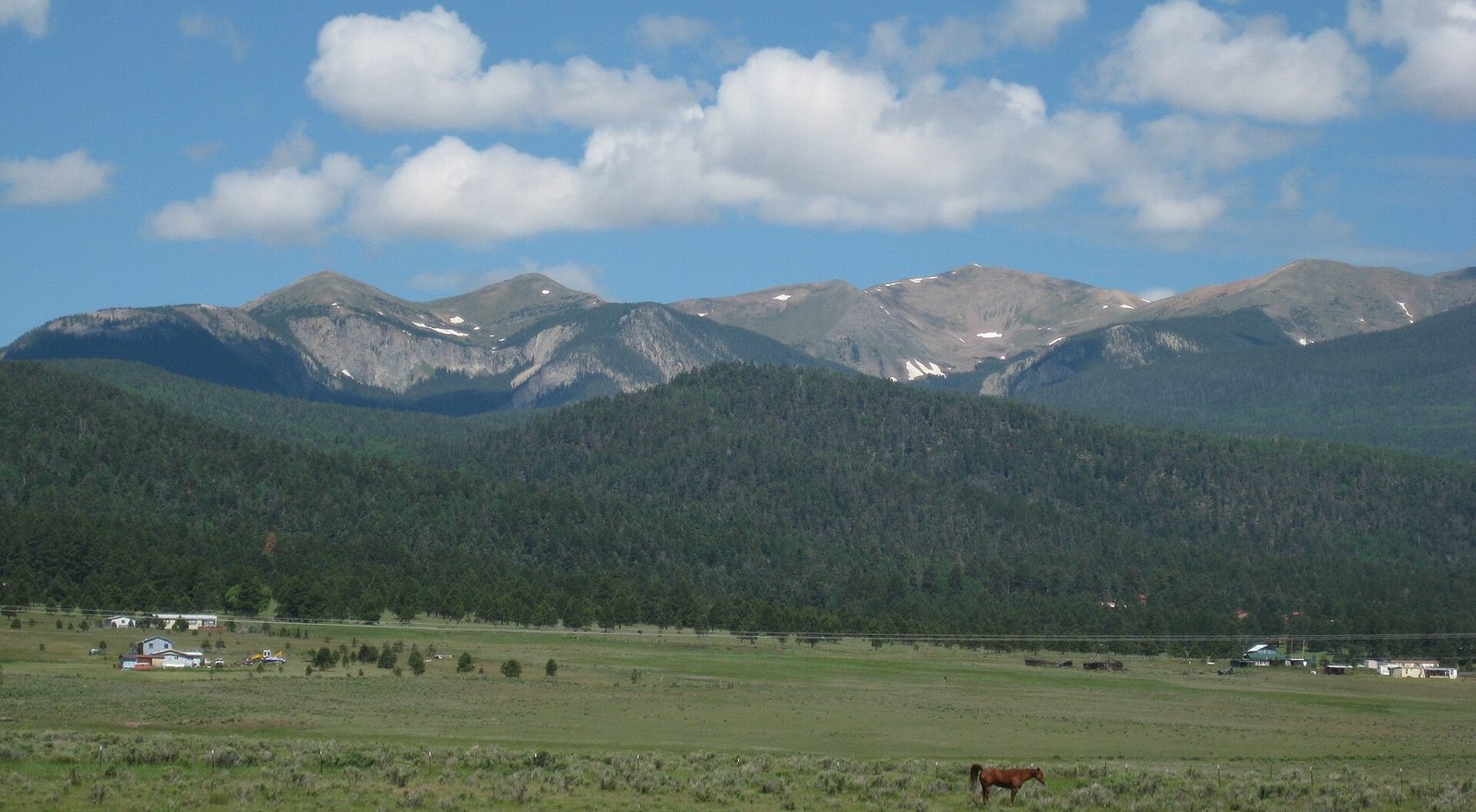 Plate CXXII
Wheeler Peak
alpineSangre de Cristo Range, near Taos, New Mexico
The highest thing in the state, and still quiet.
36.6° N · 105.4° WOpen plate →
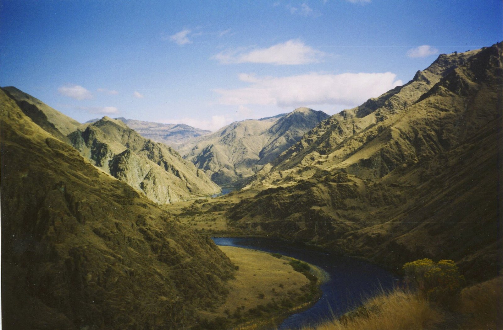 Plate CXXX
Hells Canyon
canyonSnake River, Idaho–Oregon line, Idaho / Oregon
A canyon deeper than the famous one, and quieter.
45.4° N · 116.7° WOpen plate →
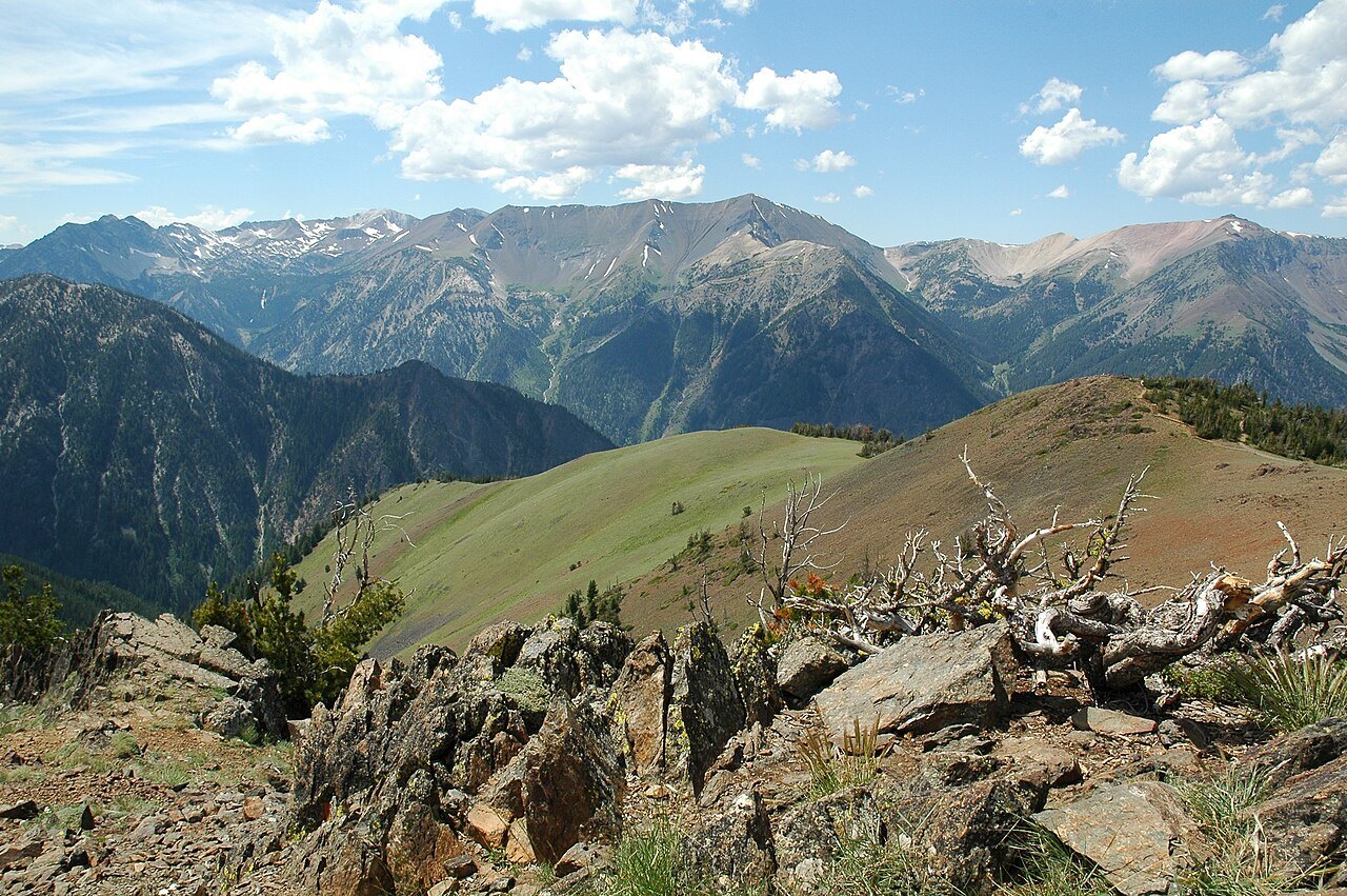 Plate CXLIII
Wallowa Mountains
alpineEagle Cap Wilderness, Wallowa County, Oregon
A granite range the Cascades do not own.
45.3° N · 117.2° WOpen plate →
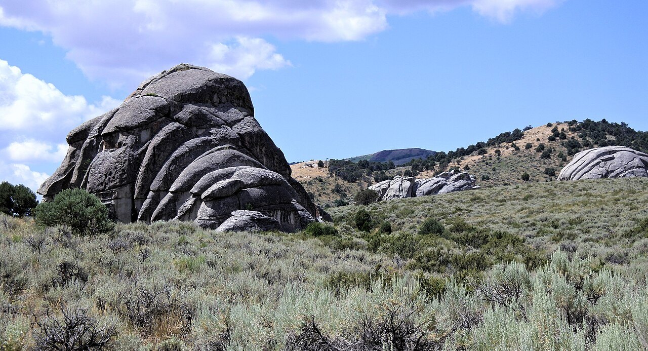 Plate CXLIX
City of Rocks
hillsAlbion Mountains, Cassia County, Idaho
A stone city the wagons named and then left.
42.1° N · 113.7° WOpen plate →
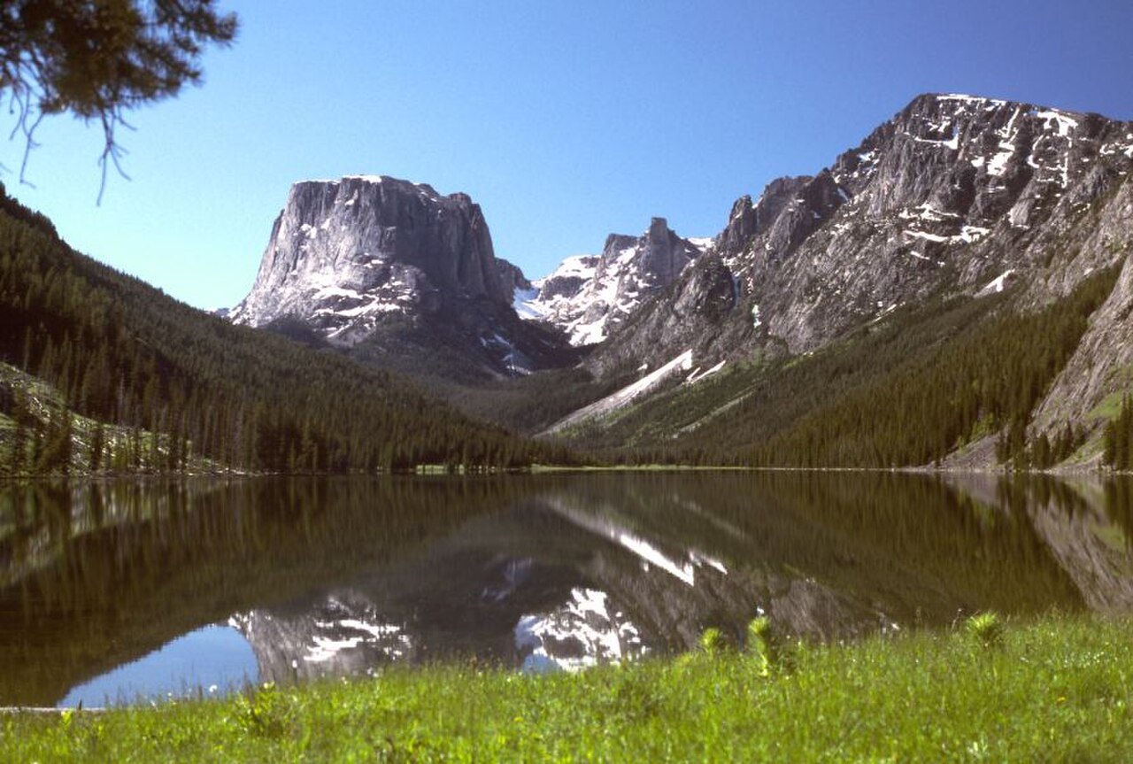 Plate CL
Cirque of the Towers
alpineWind River Range, Bridger Wilderness, Wyoming
A ring of towers around a lake that earned its name.
42.8° N · 109.2° WOpen plate →
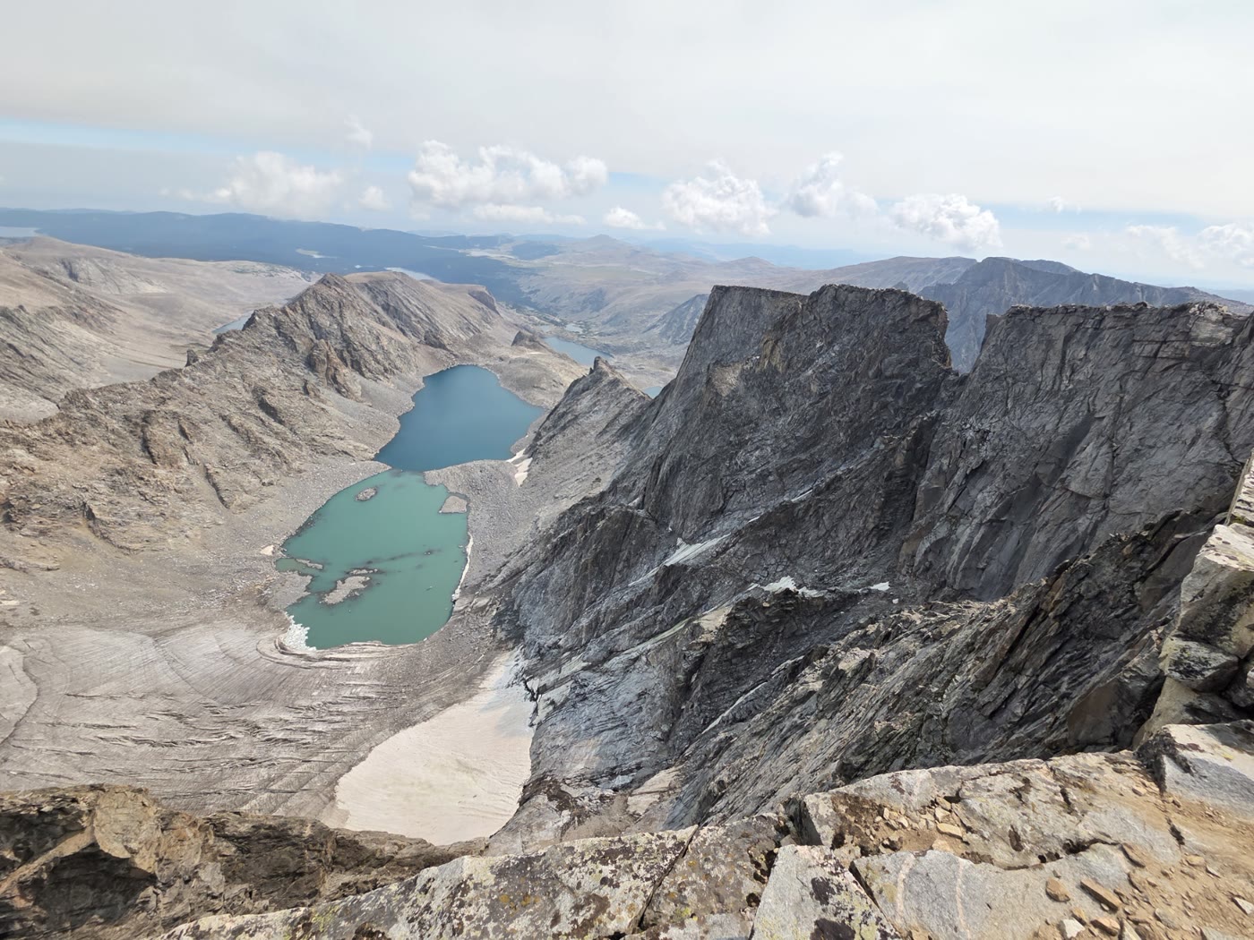 Plate CLVIII
Cloud Peak
alpineBighorn Mountains, Wyoming
The high roof of the Bighorns.
44.4° N · 107.2° WOpen plate →
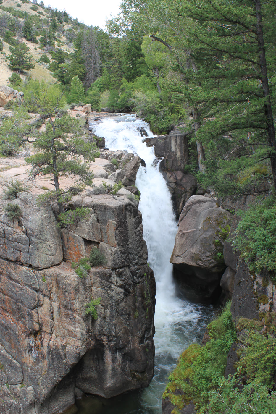 Plate CLIX
Shell Falls
canyonBighorn National Forest, US-14, Wyoming
A short, hard fall the highway stops to hear.
44.6° N · 107.6° WOpen plate →
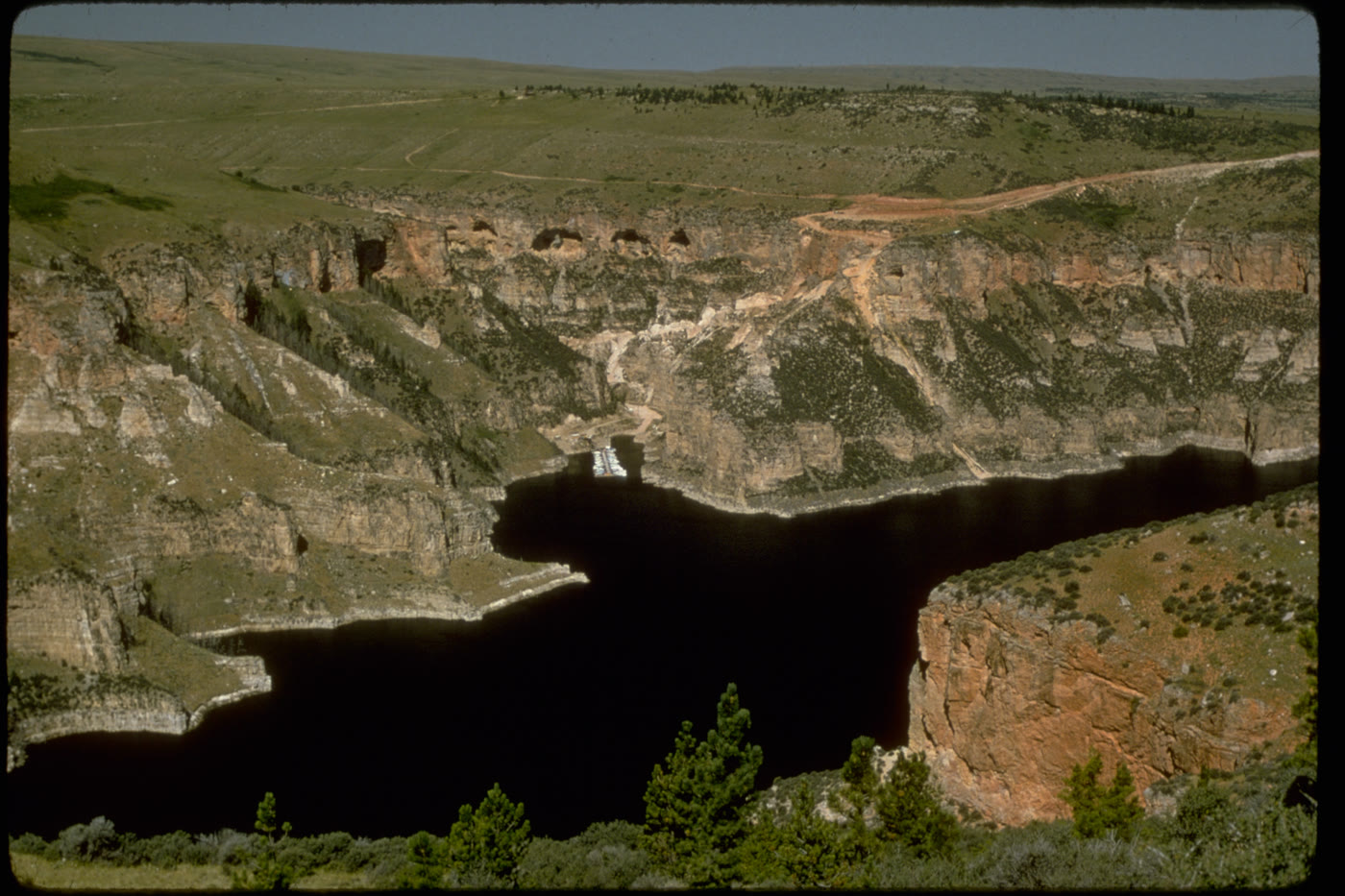 Plate CLX
Bighorn Canyon
canyonBighorn Canyon National Recreation Area, Wyoming / Montana
A canyon the river kept, then a lake filled.
45.0° N · 108.3° WOpen plate →
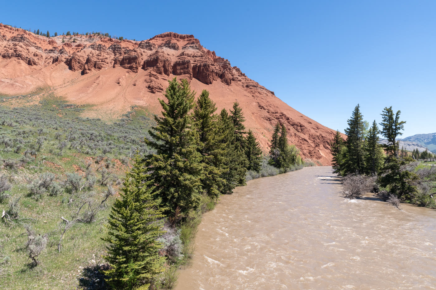 Plate CLXI
Gros Ventre Red Hills
hillseast of Kelly, Wyoming
Red hills the river kept for itself.
43.6° N · 110.5° WOpen plate →
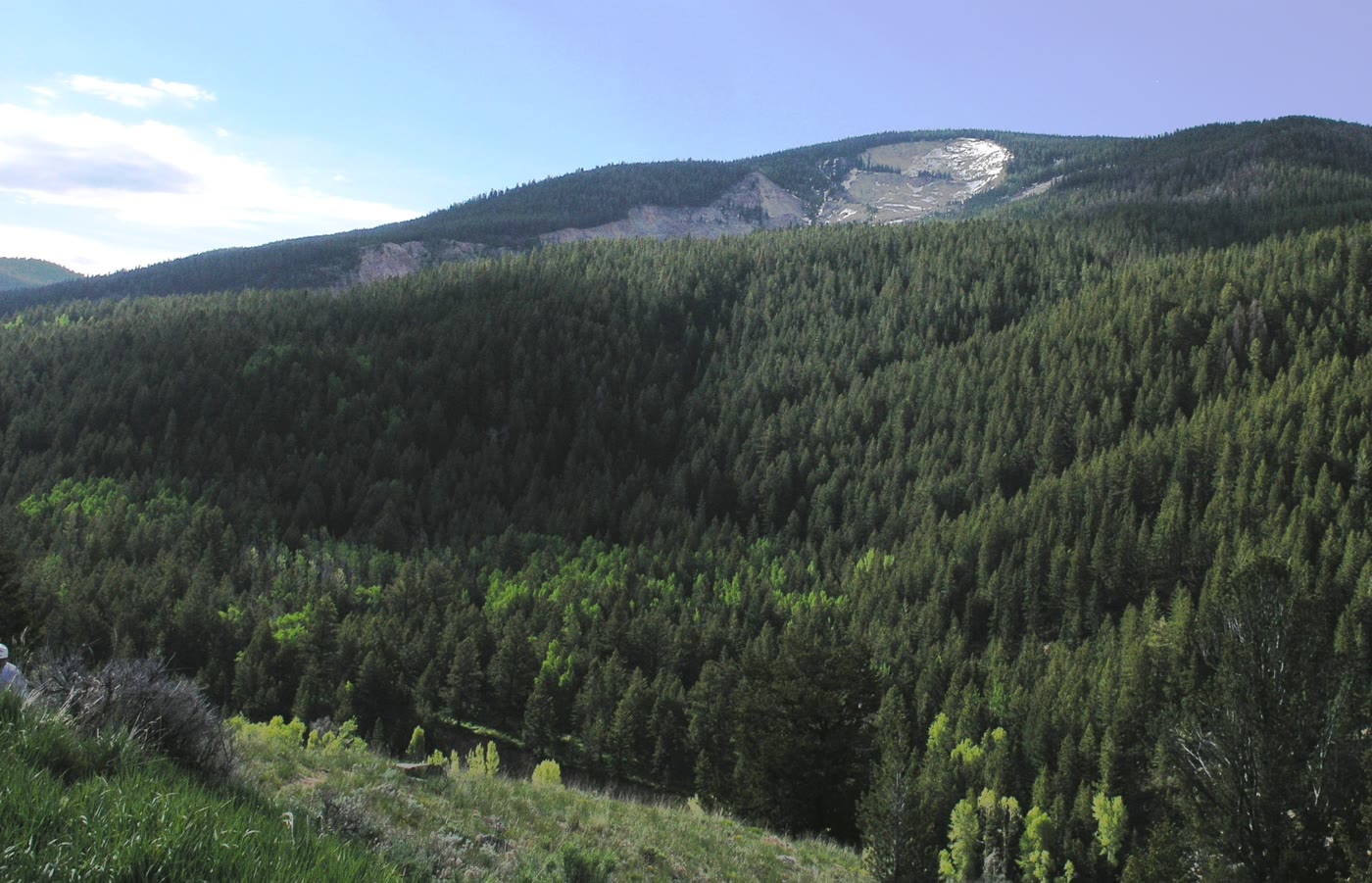 Plate CLXII
Gros Ventre Slide
hillsSlide Lake, Wyoming
The mountain that walked.
43.6° N · 110.5° WOpen plate →
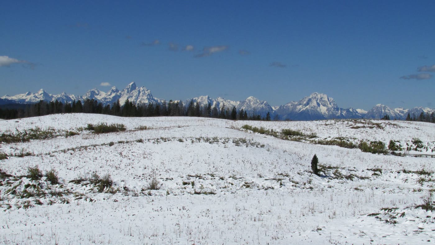 Plate CLXIII
Togwotee Pass
alpineContinental Divide, east of Grand Teton, Wyoming
The east door that first shows the Tetons.
43.8° N · 110.1° WOpen plate →
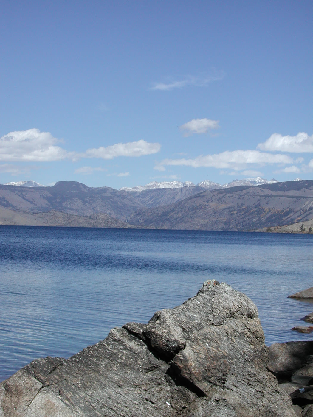 Plate CLXIV
Fremont Lake
alpinenear Pinedale, Wind River Range, Wyoming
A cold lake the glaciers left at the door.
43.0° N · 109.8° WOpen plate →
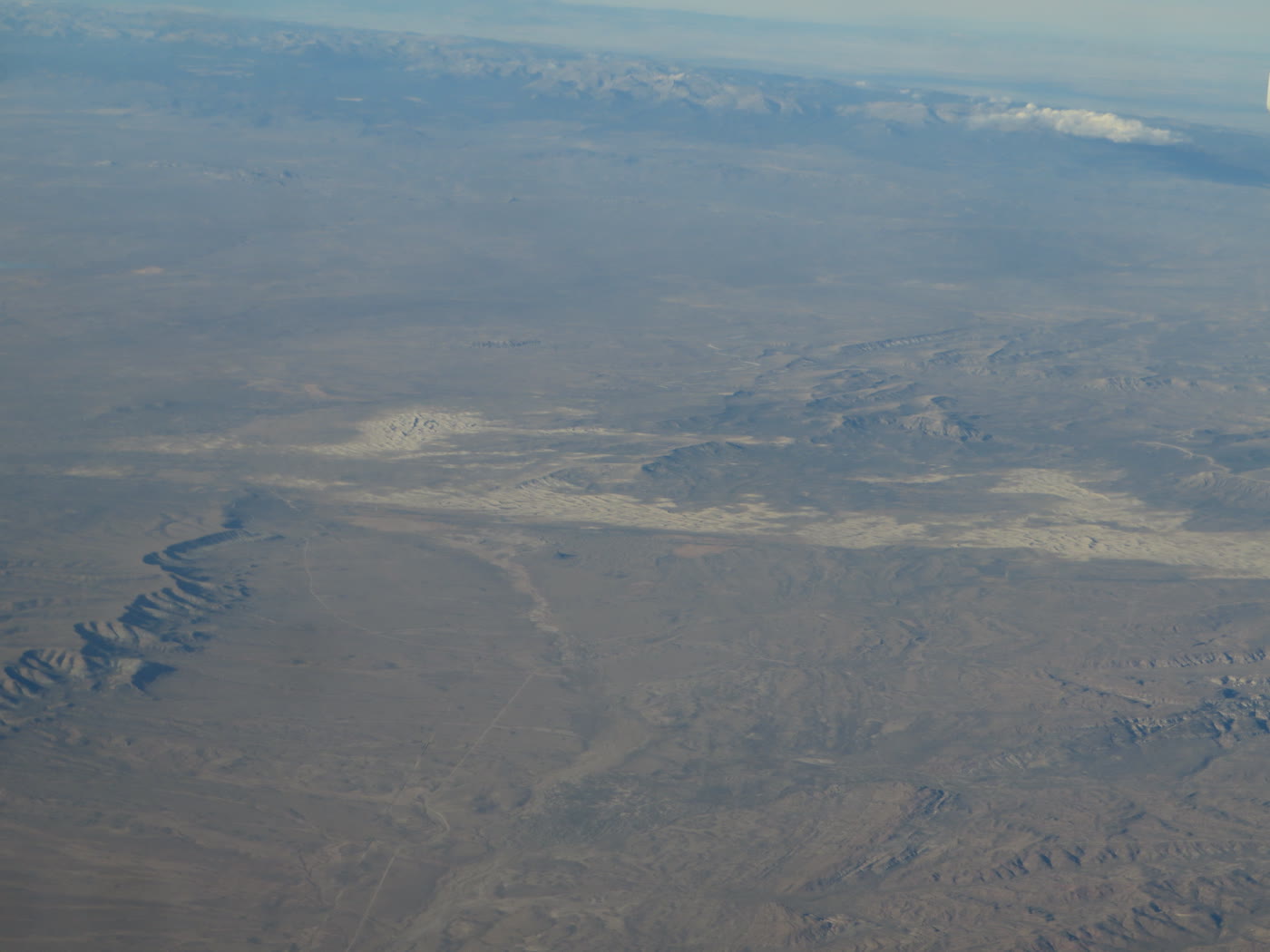 Plate CLXVI
Killpecker Dunes
duneRed Desert, Sweetwater County, Wyoming
Dunes that still move in a desert of sage.
42.0° N · 109.1° WOpen plate →
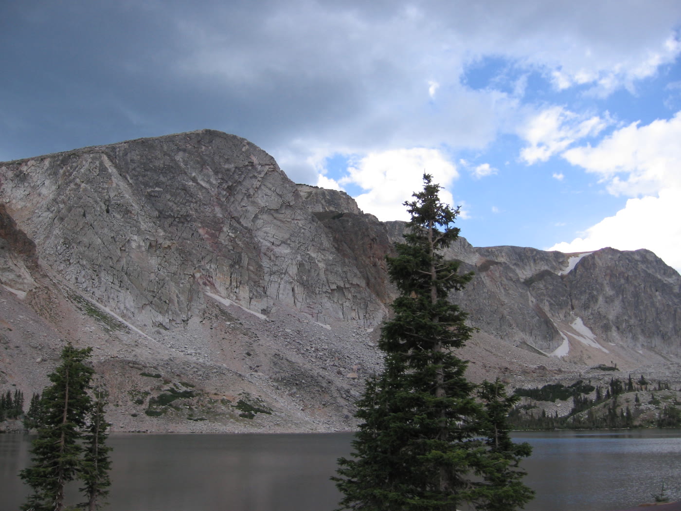 Plate CLXVII
Medicine Bow
alpineSnowy Range, Lake Marie, Wyoming
A granite lake the storms keep rewriting.
41.4° N · 106.3° WOpen plate →
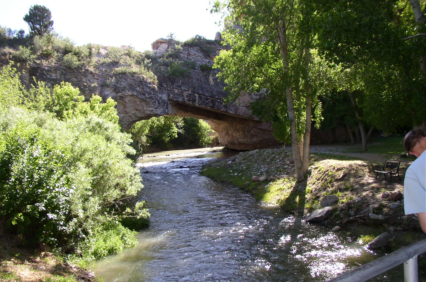 Plate CLXVIII
Ayres Natural Bridge
canyonwest of Douglas, Converse County, Wyoming
A stone span the creek refused to go around.
42.7° N · 105.6° WOpen plate →
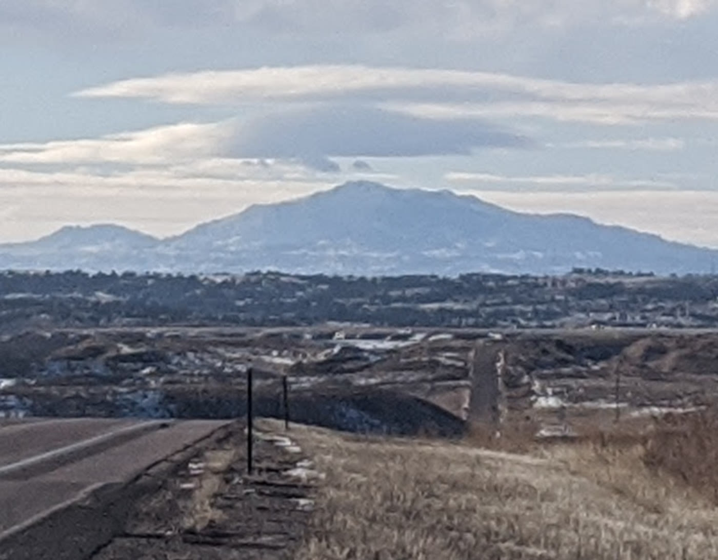 Plate CLXIX
Laramie Peak
alpineLaramie Range, Wyoming
The mountain the plains use as a compass.
42.3° N · 105.4° WOpen plate →
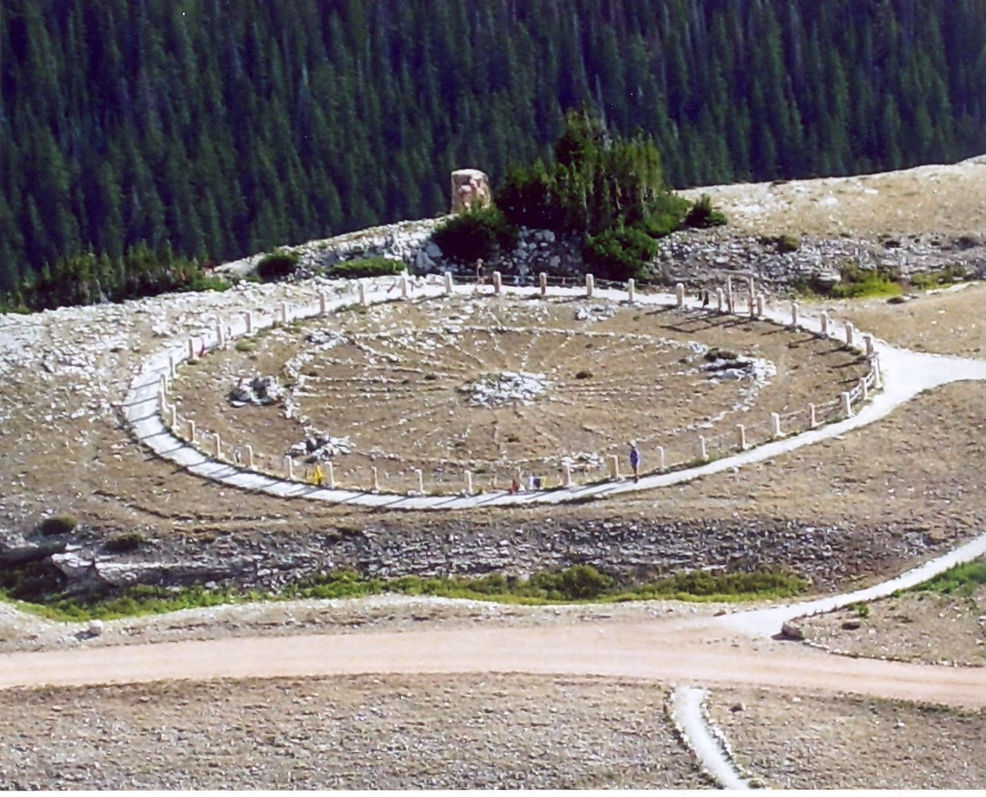 Plate CLXX
Medicine Wheel
alpineMedicine Mountain National Historic Landmark, Wyoming
A stone circle still in use on the mountain.
44.8° N · 107.9° WOpen plate →
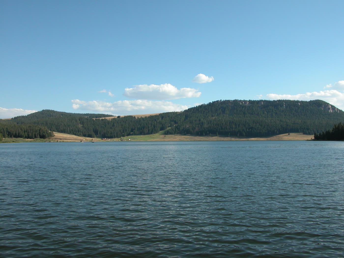 Plate CLXXI
Meadowlark Lake
alpineCloud Peak Skyway, US-16, Wyoming
A high lake the skyway leans toward.
44.2° N · 107.2° WOpen plate →
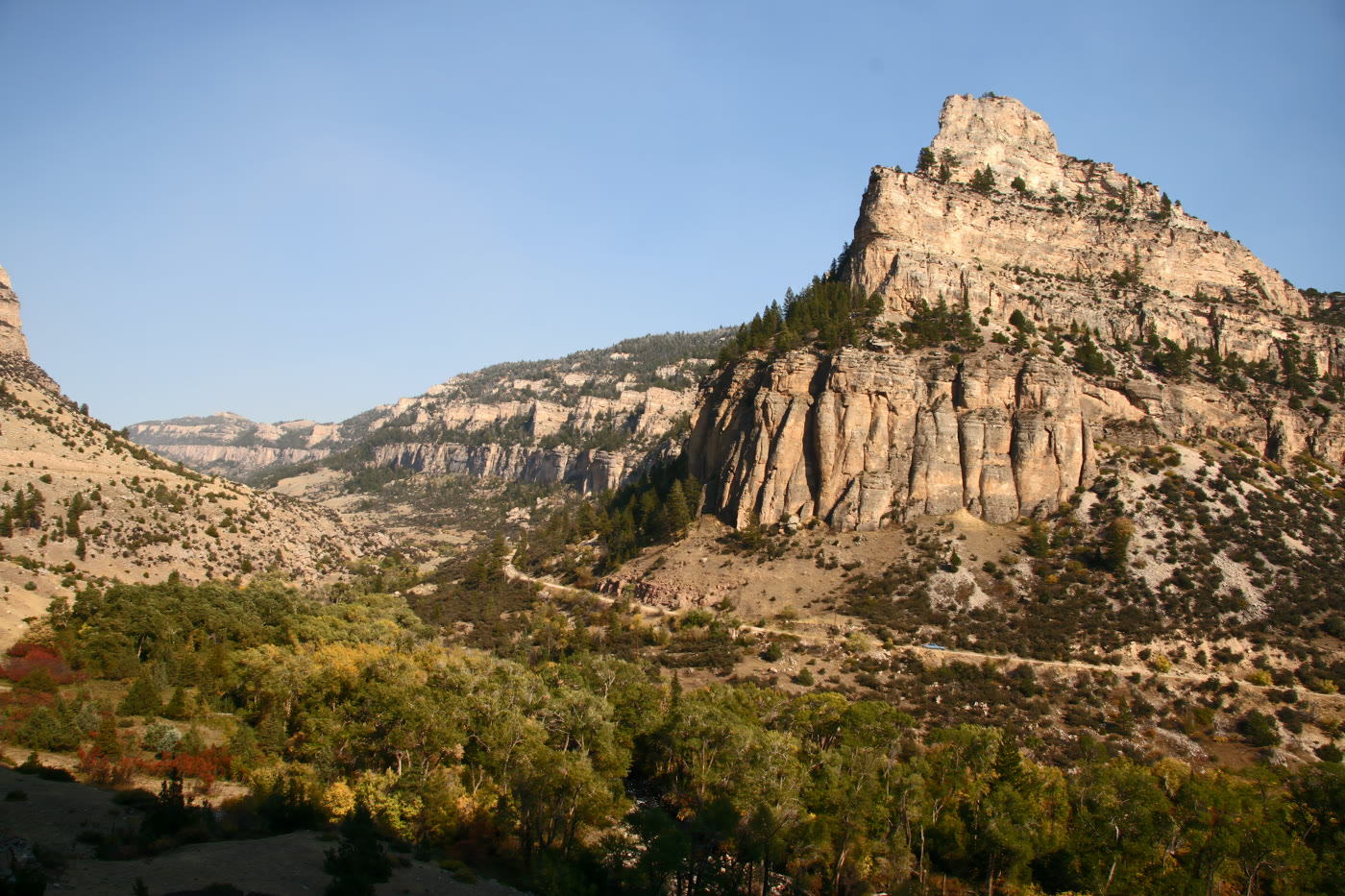 Plate CLXXII
Tensleep Canyon
canyonBighorn National Forest, US-16, Wyoming
A limestone hall the highway had to ask.
44.1° N · 107.3° WOpen plate →
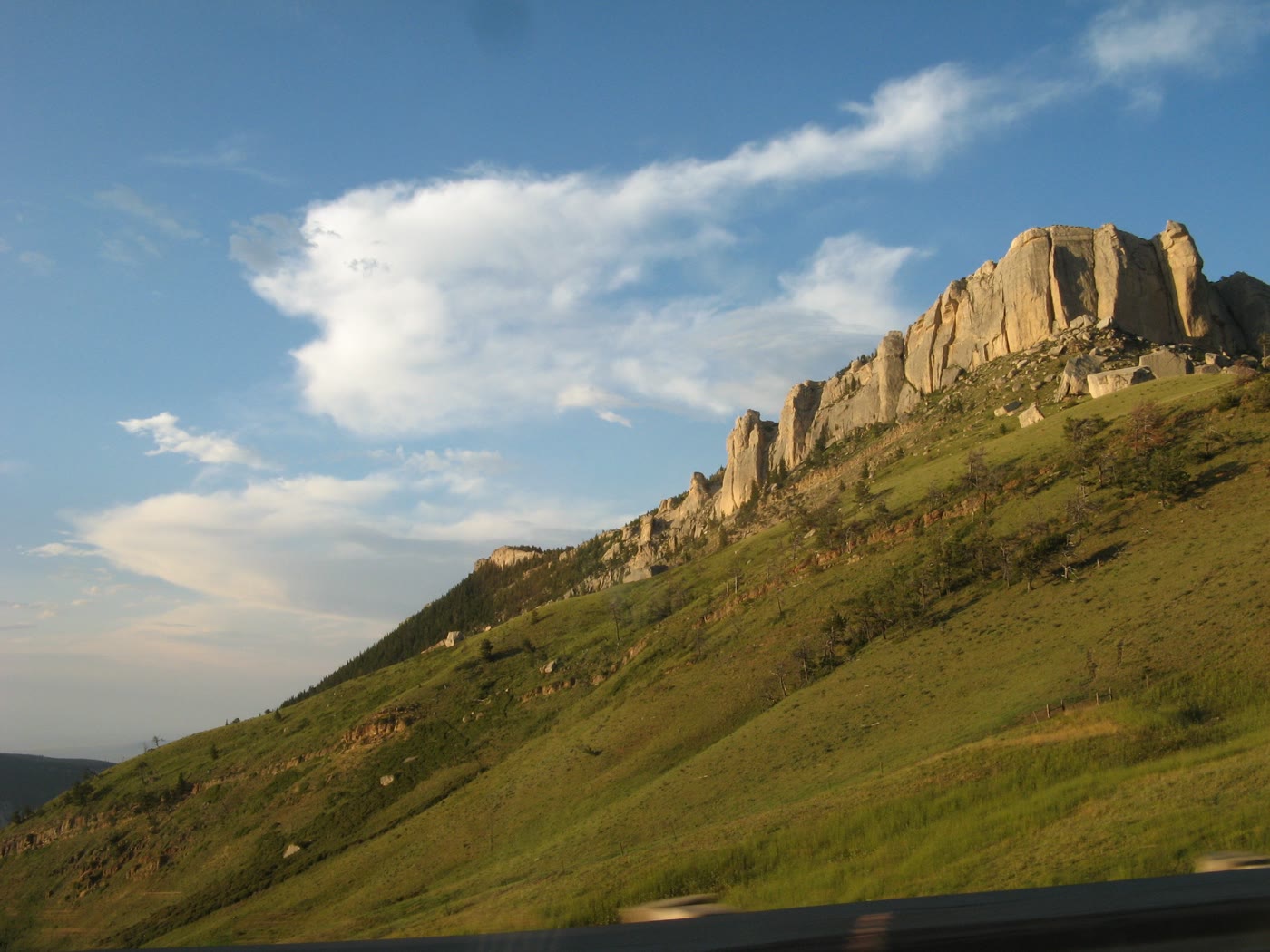 Plate CLXXIII
Steamboat Point
hillsBighorn National Forest, US-14, Wyoming
A stone bow the highway runs under.
44.8° N · 107.4° WOpen plate →
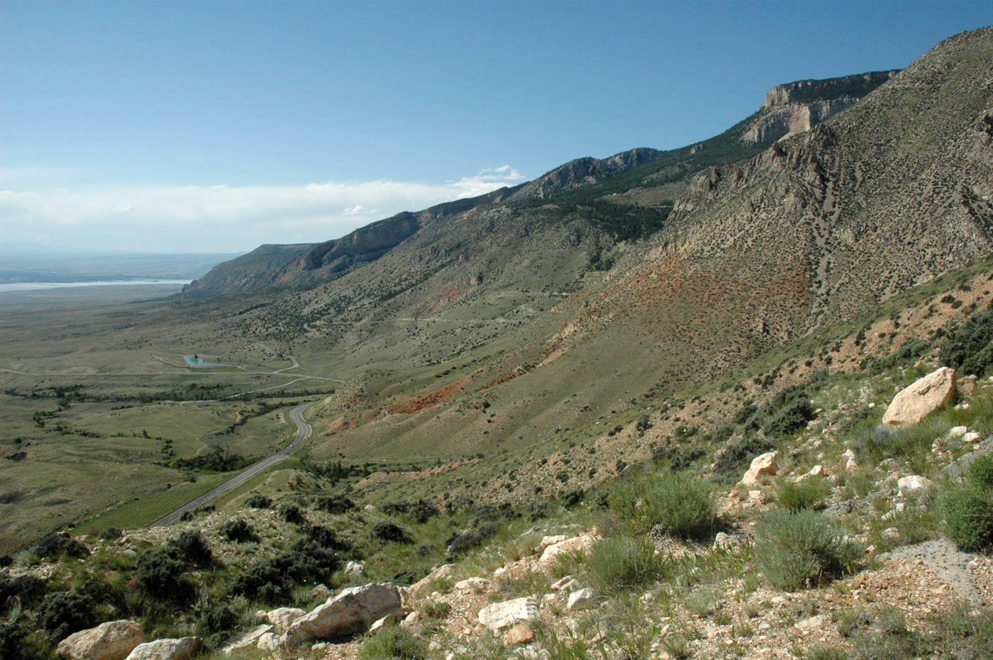 Plate CLXXIV
Medicine Wheel Passage
canyonUS-14A, west rim of the Bighorns, Wyoming
The west door of the mountains.
44.8° N · 107.9° WOpen plate →
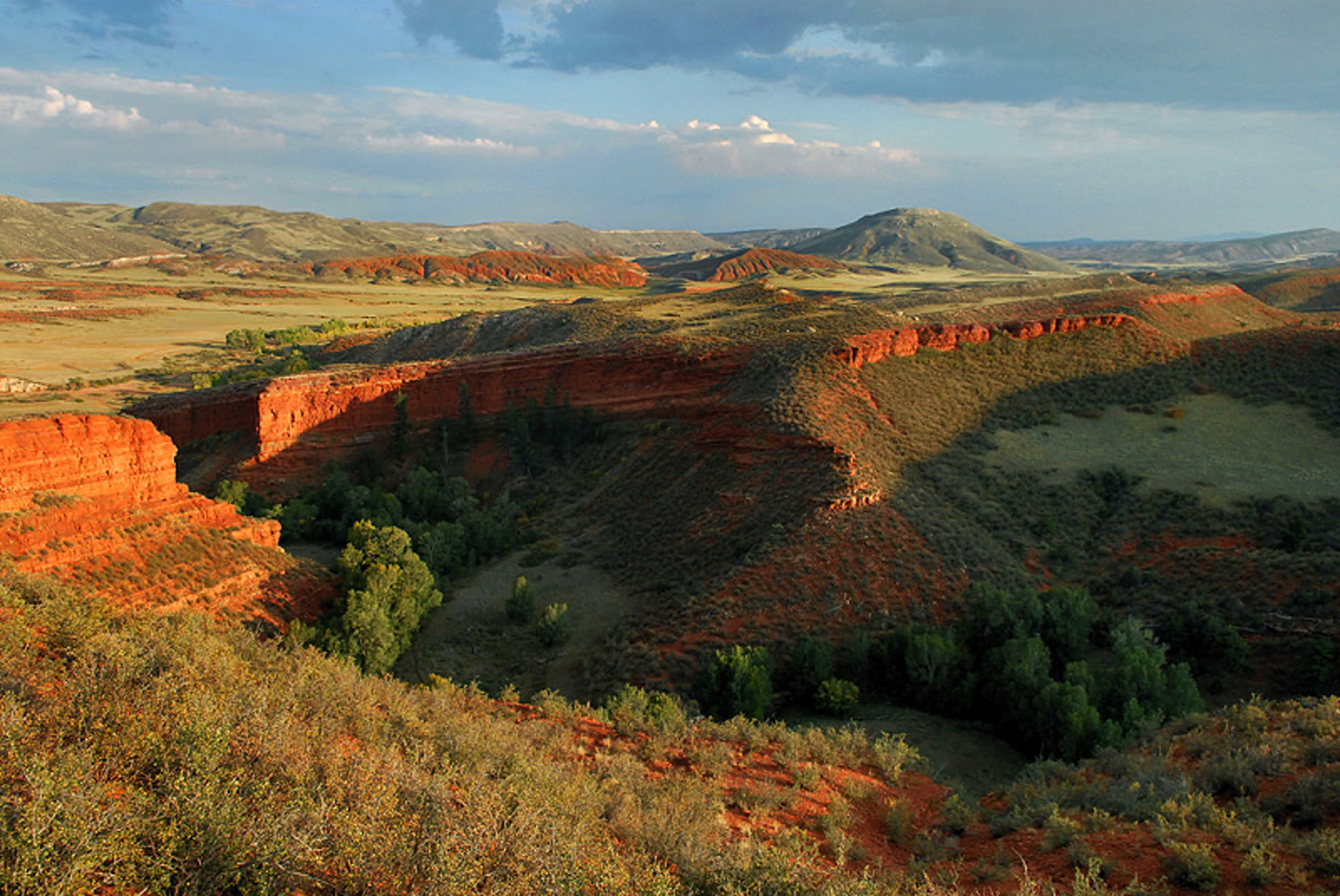 Plate CLXXV
Red Mountain Open Space
hillsLarimer County, on the Wyoming line, Colorado
Red hills the prairie kept.
41.0° N · 105.2° WOpen plate →
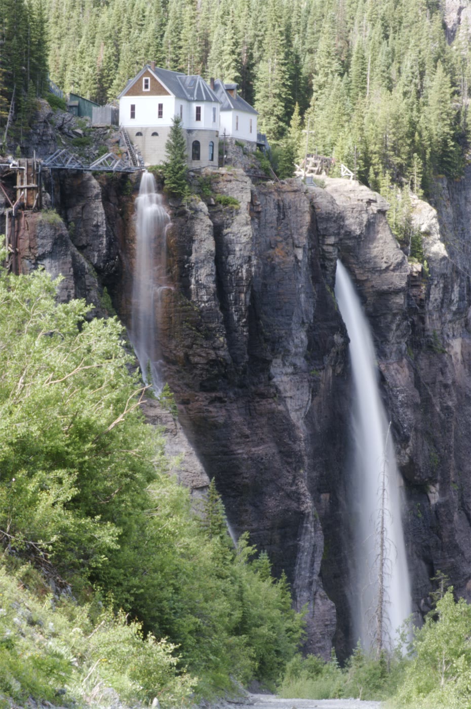 Plate CLXXVI
Bridal Veil Falls
alpinehead of the box canyon, Telluride, Colorado
A white thread the canyon kept for a last wall.
37.9° N · 107.8° WOpen plate →
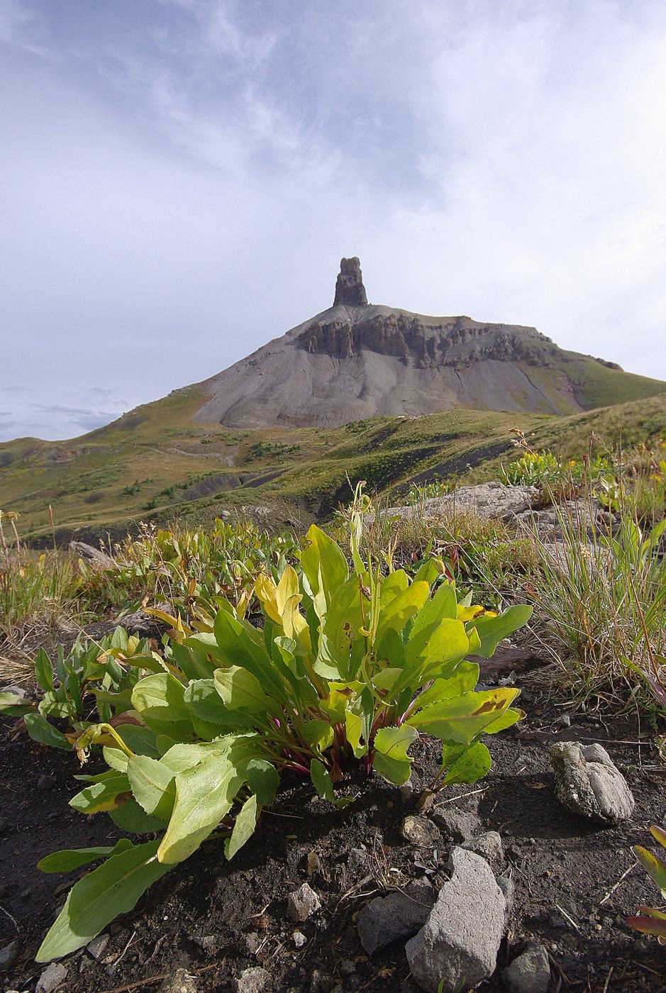 Plate CLXXVII
Lizard Head
alpineSan Juan Mountains, above Lizard Head Pass, Colorado
A tooth the volcano left standing.
37.8° N · 108.0° WOpen plate →
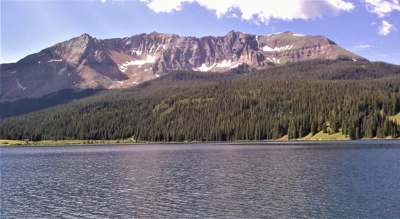 Plate CLXXVIII
Trout Lake
alpinenear Lizard Head Pass, Colorado
Sheep Mountain held in still water.
37.8° N · 107.9° WOpen plate →
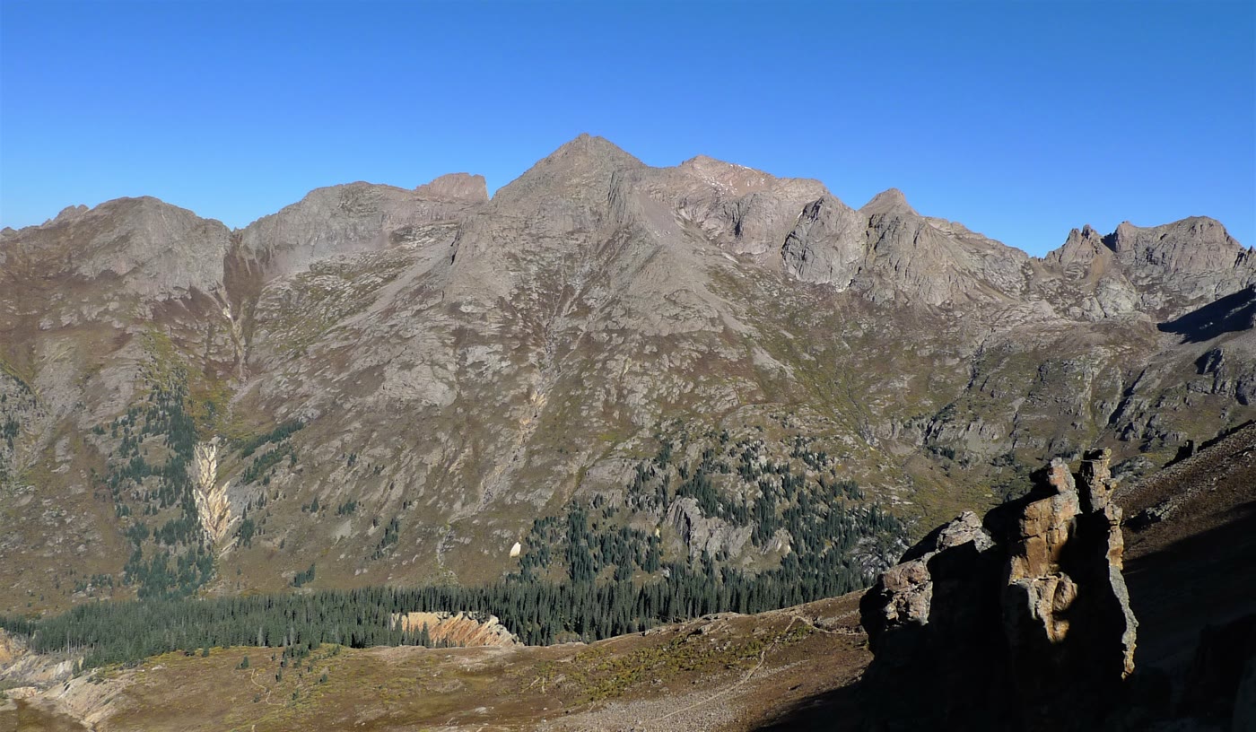 Plate CLXXIX
Chicago Basin
alpineNeedle Mountains, Weminuche Wilderness, Colorado
A granite room the Needles kept.
37.6° N · 107.6° WOpen plate →
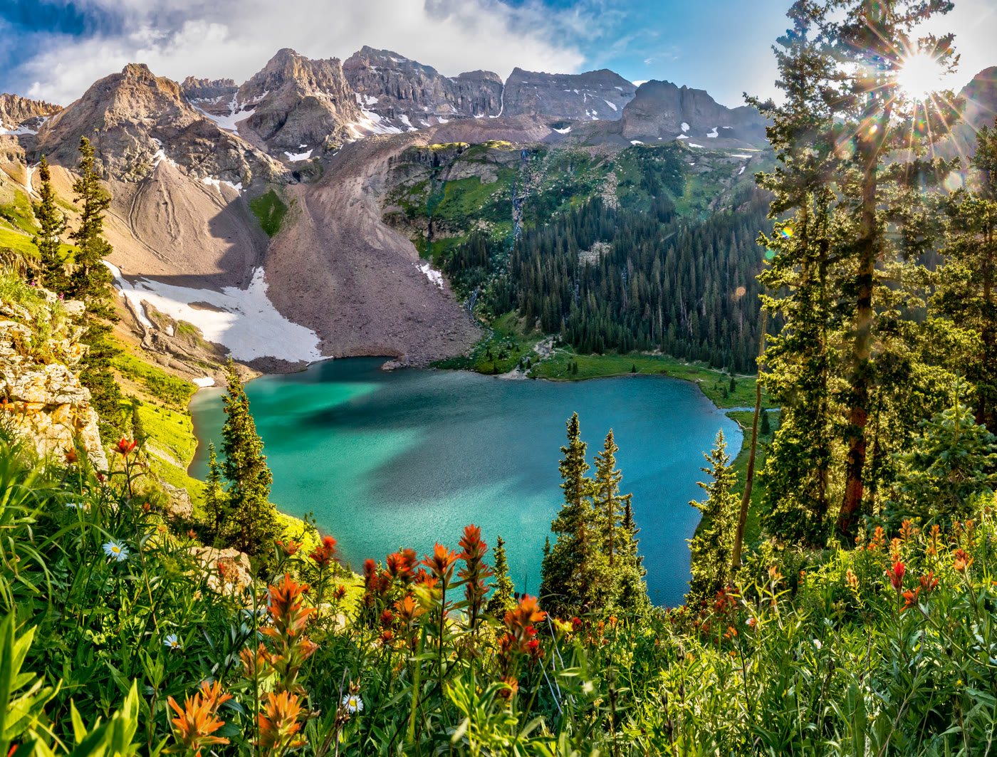 Plate CLXXX
Blue Lakes
alpinebelow Mount Sneffels, Dallas Peak wall, Colorado
Turquoise water the cirque kept.
38.0° N · 107.8° WOpen plate →
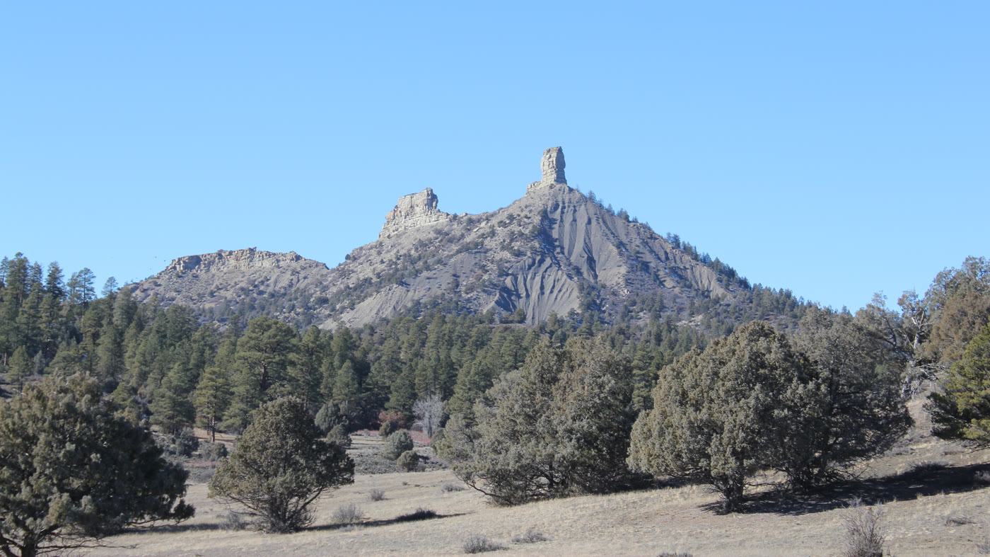 Plate CLXXXI
Chimney Rock
hillsNational Monument, near Pagosa Springs, Colorado
Two stones the mesa stood on end.
37.2° N · 107.3° WOpen plate →
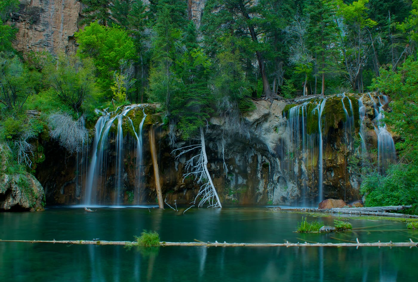 Plate CLXXXV
Hanging Lake
alpineGlenwood Canyon, Colorado
A green bowl the canyon hid on a shelf.
39.6° N · 107.2° WOpen plate →
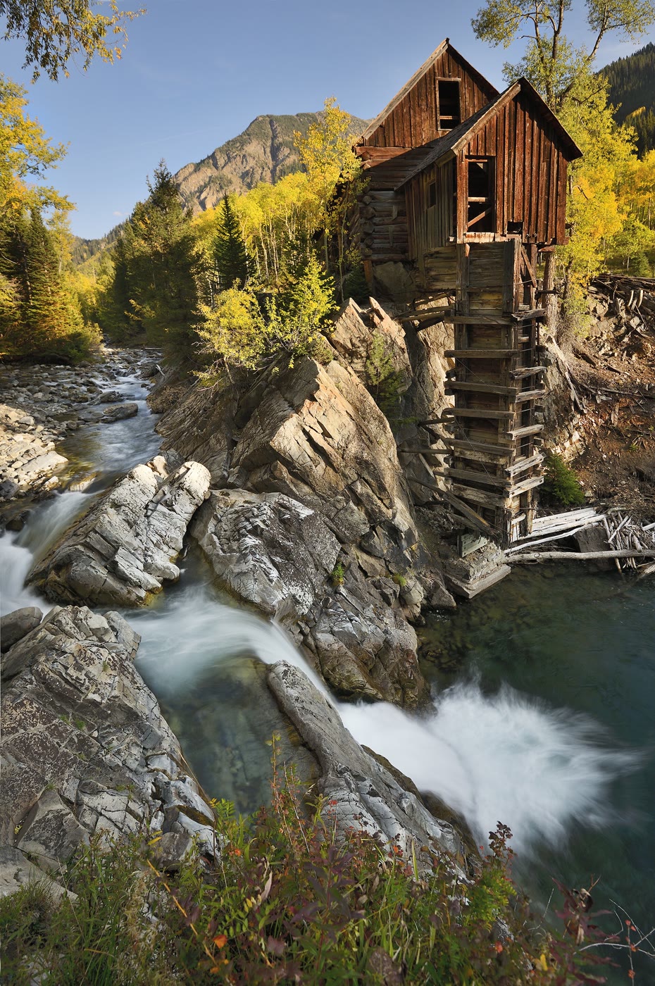 Plate CLXXXVI
Crystal Mill
alpineCrystal, on the Crystal River, Colorado
A wooden house the river kept on a rock.
39.1° N · 107.1° WOpen plate →
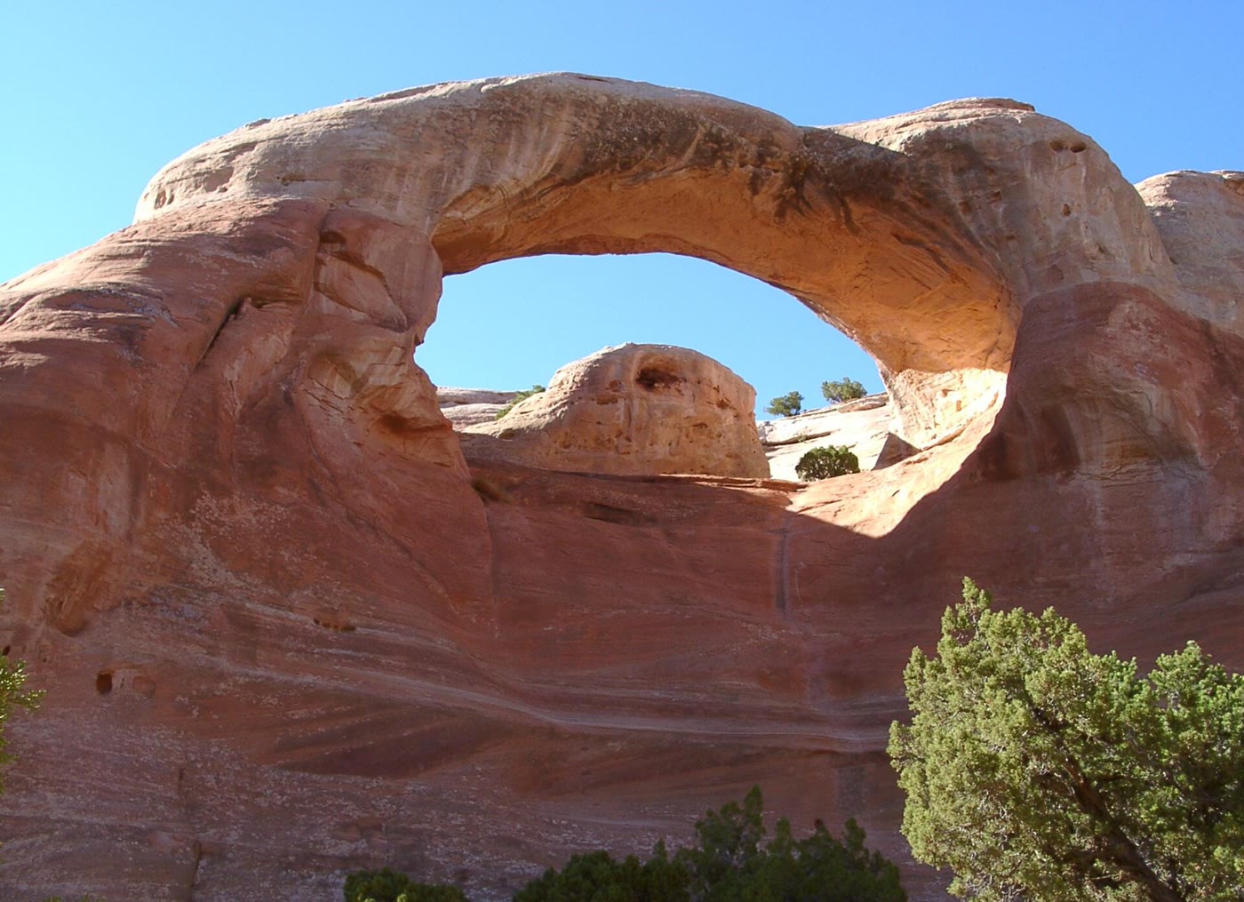 Plate CLXXXVII
Rattlesnake Canyon
canyonMcInnis Canyons NCA, west of Grand Junction, Colorado
A red window the canyon cut and kept.
39.2° N · 108.9° WOpen plate →
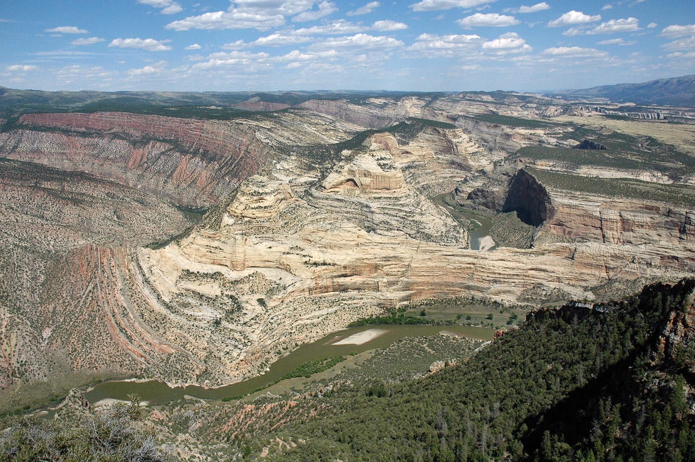 Plate CLXXXVIII
Harper's Corner
canyonEcho Park, Dinosaur National Monument, Colorado
A river that learned to go around a ship of stone.
40.5° N · 109.0° WOpen plate →
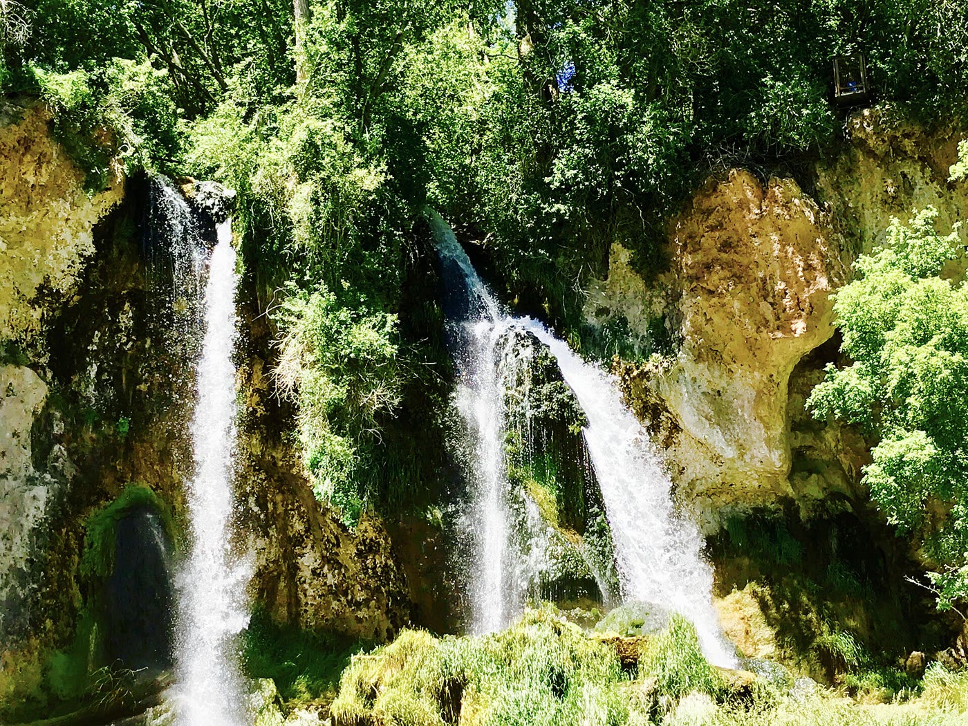 Plate CLXXXIX
Rifle Falls
canyonEast Rifle Creek, Colorado
Three white ropes the limestone let go.
39.7° N · 107.7° WOpen plate →
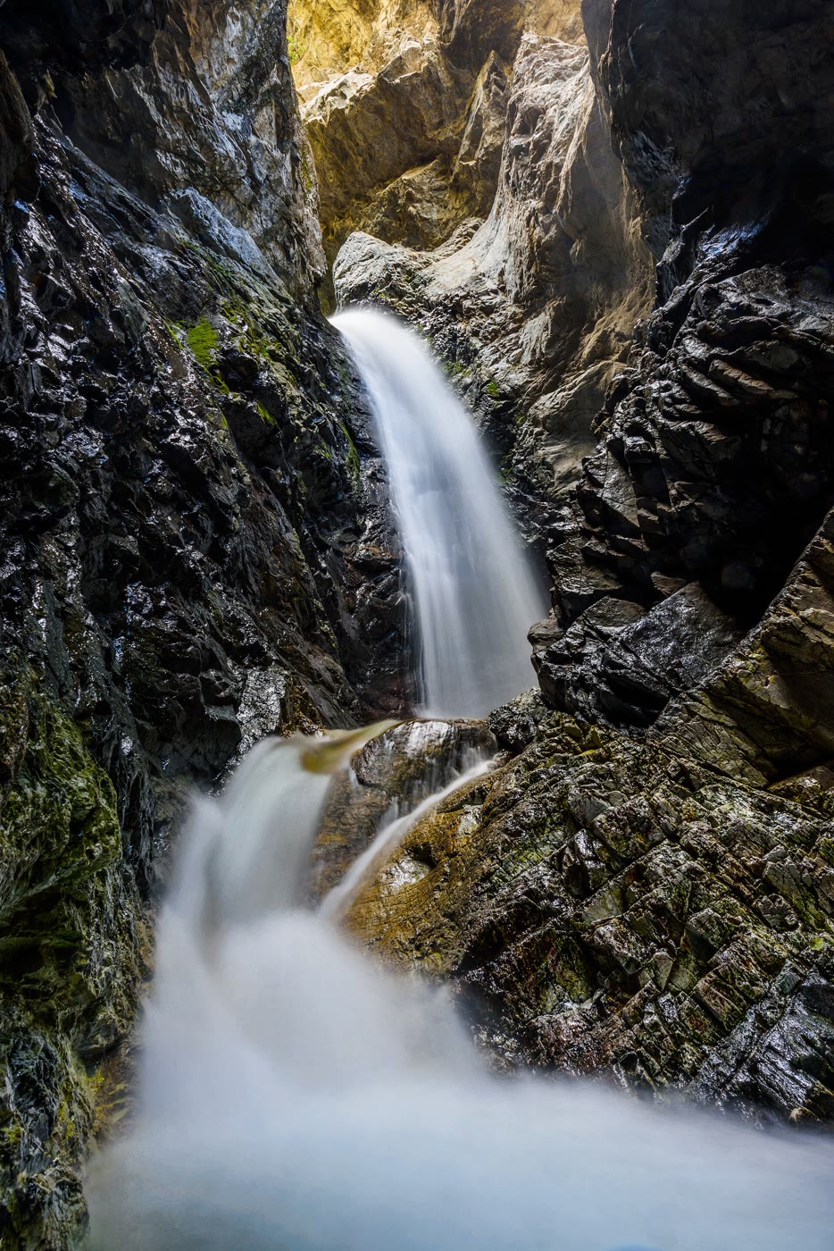 Plate CXC
Zapata Falls
canyonnear Great Sand Dunes, Colorado
A white fall the mountain hid in a crack.
37.6° N · 105.6° WOpen plate →
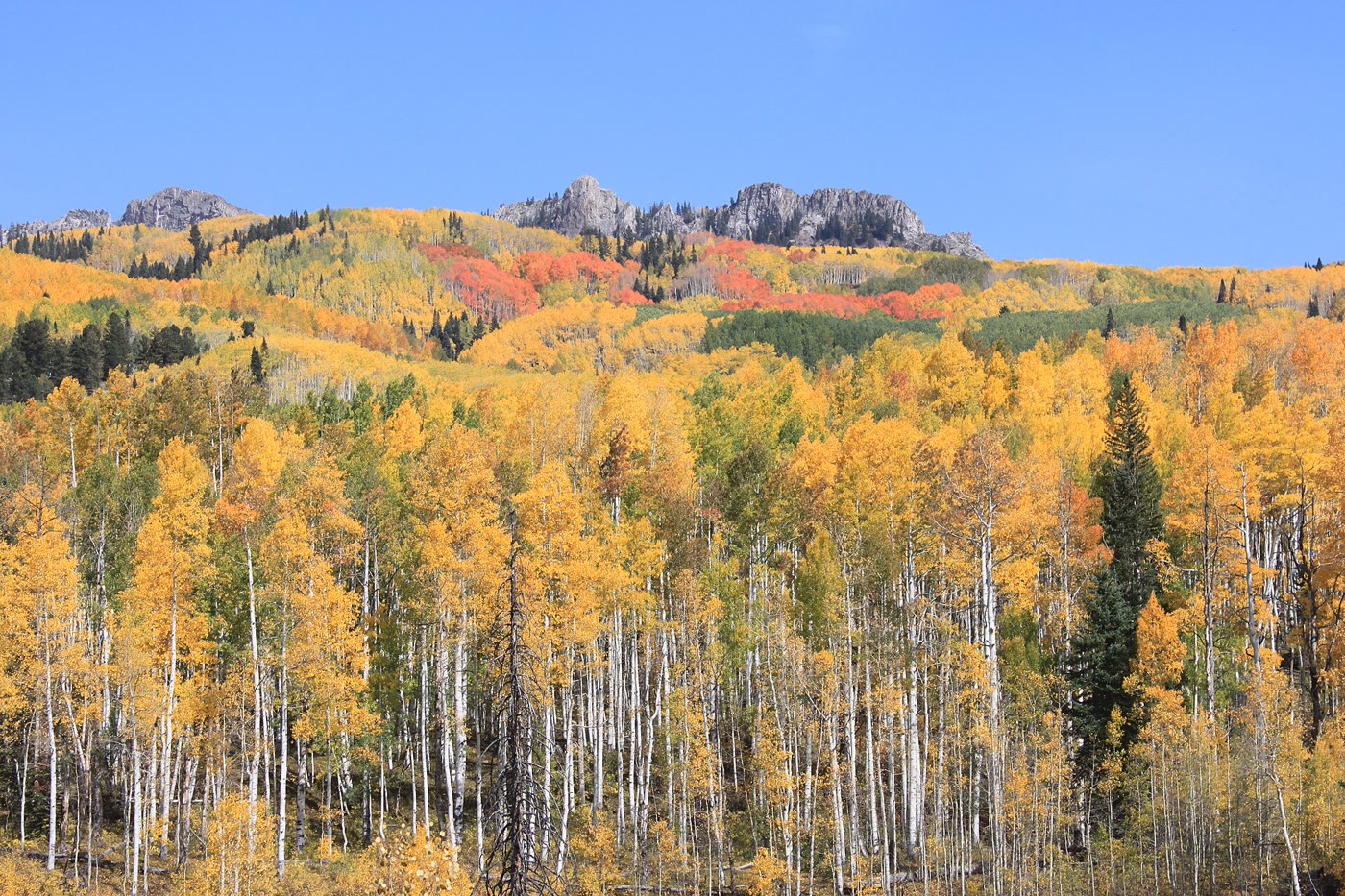 Plate CXCI
Kebler Pass
forestWest Elk Mountains, Colorado
A gold hillside the clones kept together.
38.9° N · 107.1° WOpen plate →
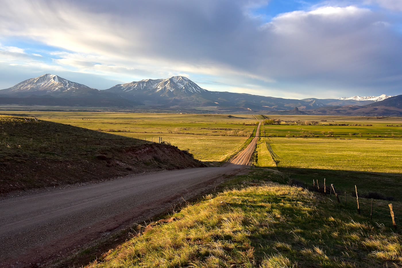 Plate CXCII
Spanish Peaks
volcanicnear La Veta, southern plains, Colorado
Two volcanoes the plains could not wear down.
37.4° N · 105.0° WOpen plate →
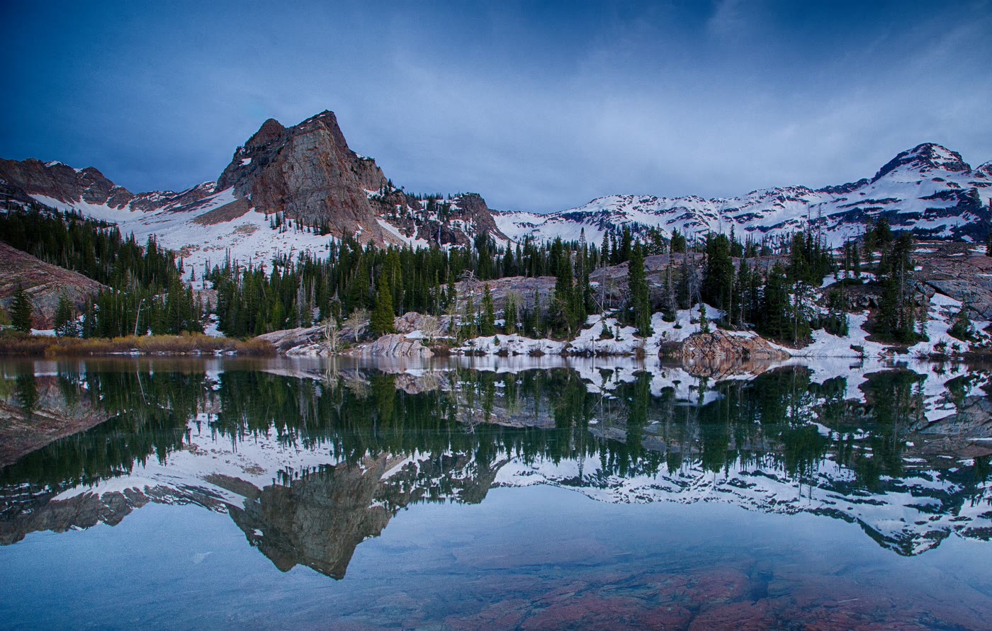 Plate CXCVIII
Lake Blanche
alpineTwin Peaks Wilderness, Big Cottonwood Canyon, Utah
Sundial held in a still bowl.
40.6° N · 111.7° WOpen plate →
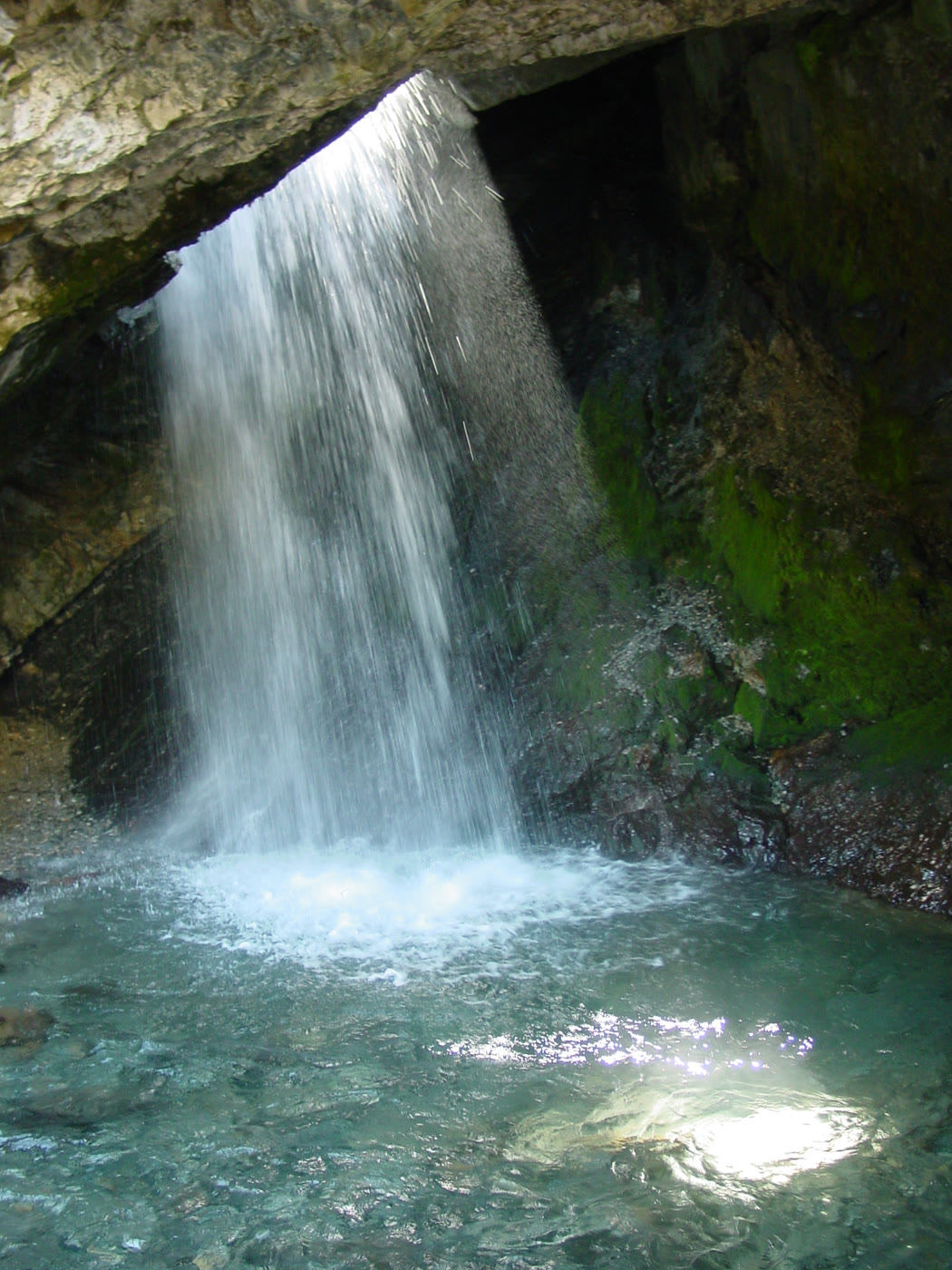 Plate CXCIX
Donut Falls
forestBig Cottonwood Canyon, Utah
A fall the rock learned to pour through a hole.
40.6° N · 111.7° WOpen plate →
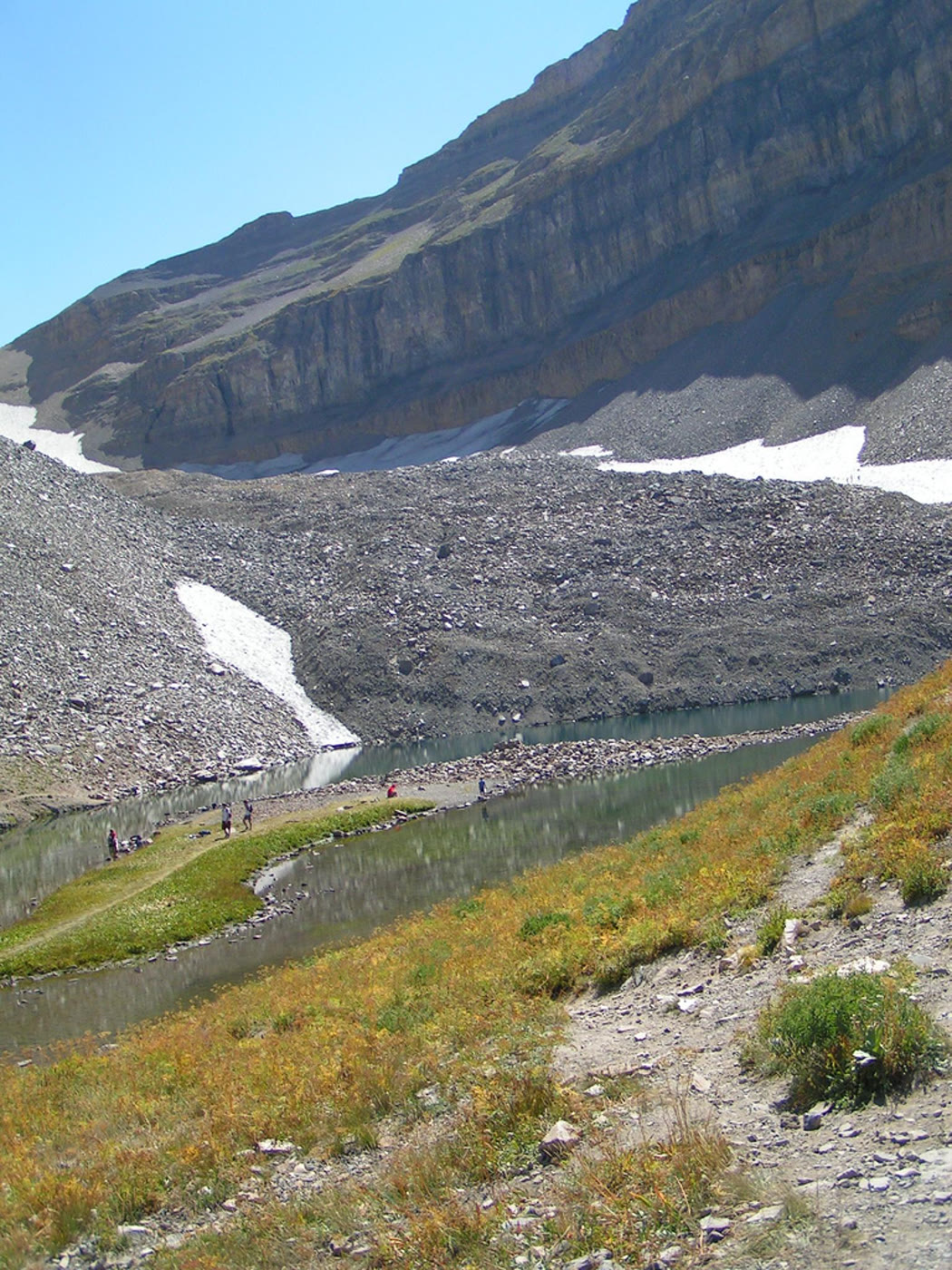 Plate CC
Emerald Lake
alpineTimpanogos Basin, Utah
A green bowl under the Timp wall.
40.4° N · 111.7° WOpen plate →
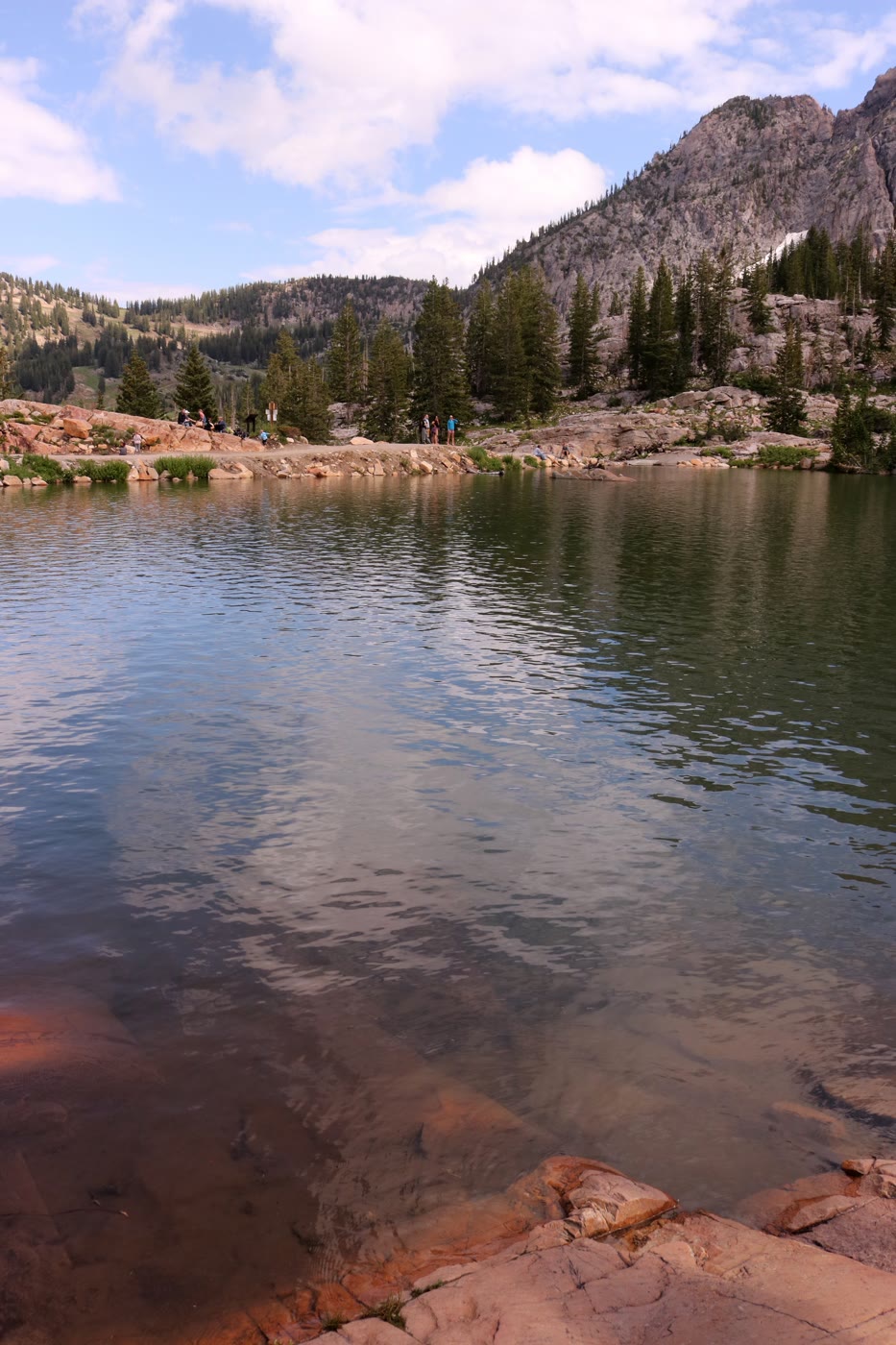 Plate CCI
Cecret Lake
alpineAlbion Basin, Utah
A secret the basin spelled its own way.
40.6° N · 111.6° WOpen plate →
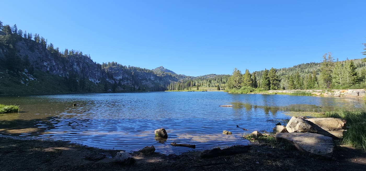 Plate CCII
Tony Grove Lake
alpineBear River Range, Utah
Limestone over a still northern lake.
41.9° N · 111.6° WOpen plate →
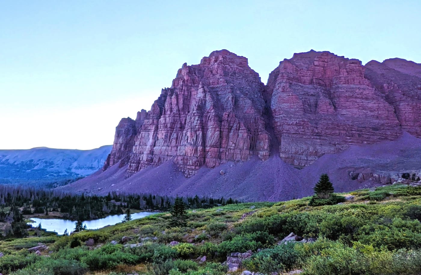 Plate CCIII
Red Castle
alpineHigh Uintas Wilderness, Utah
A quartzite keep above its own lake.
40.8° N · 110.5° WOpen plate →
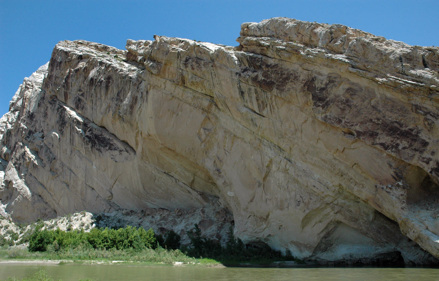 Plate CCIV
Split Mountain
canyonDinosaur National Monument, Jensen, Utah
A mountain the river learned to cut in two.
40.4° N · 109.3° WOpen plate →
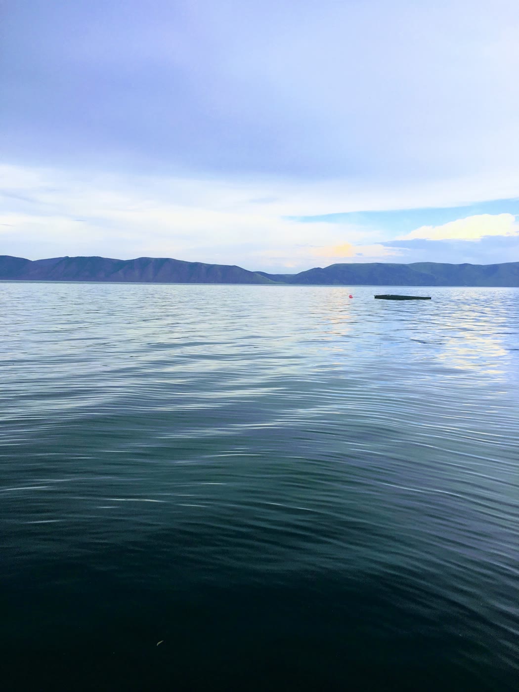 Plate CCVI
Bear Lake
wetlandUtah–Idaho line, Utah
A lake that learned a Caribbean blue.
41.9° N · 111.4° WOpen plate →
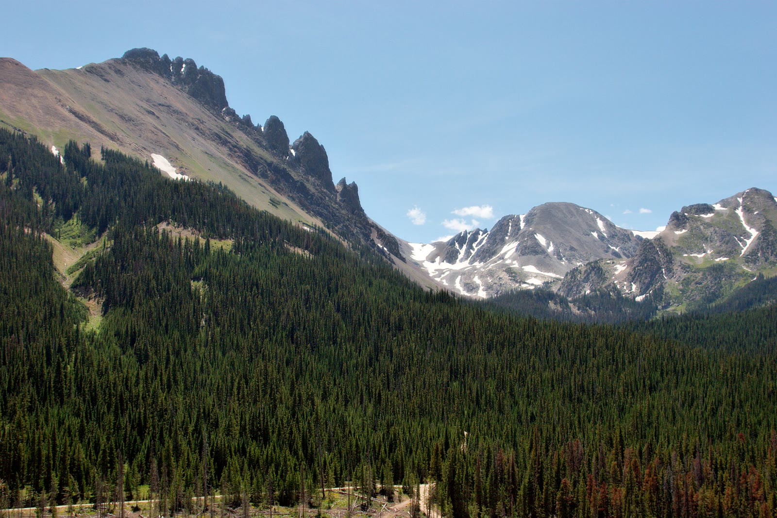 Plate CCLXXIV
State Forest State Park
alpineNokhu Crags, Never Summer Range, Colorado
The crags Rocky Mountain Park looks at and does not keep.
40.7° N · 106.0° WOpen plate →
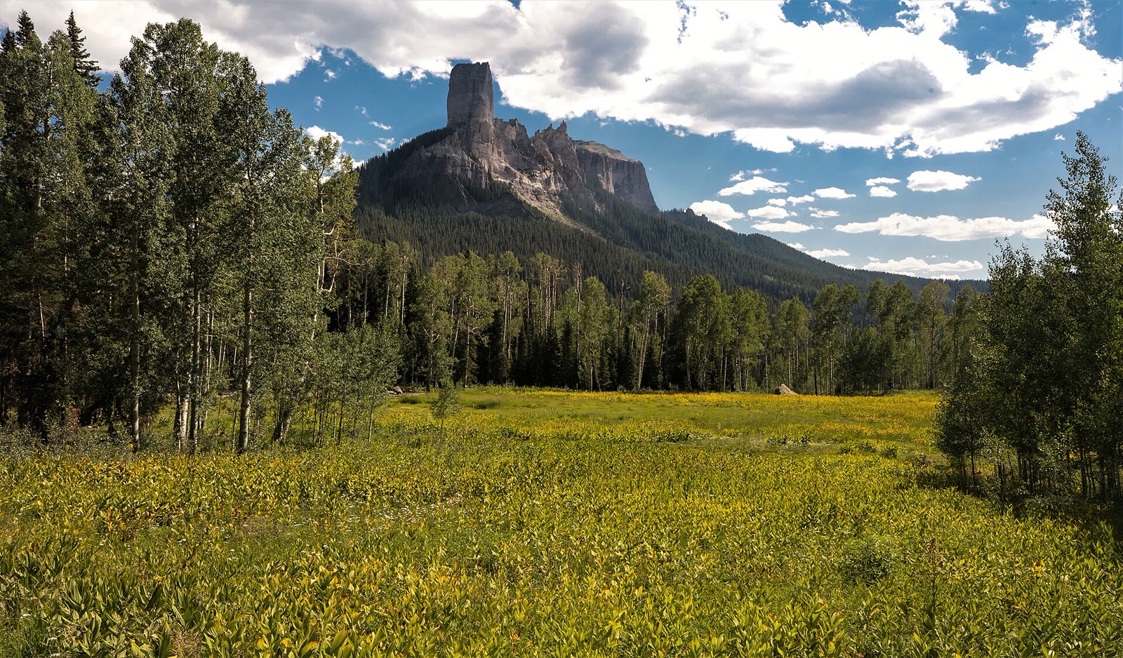 Plate CCLXXX
Silver Jack
alpineCimarron Ridge, Uncompahgre NF, Colorado
A reservoir the Cimarron walls still keep.
38.2° N · 107.5° WOpen plate →
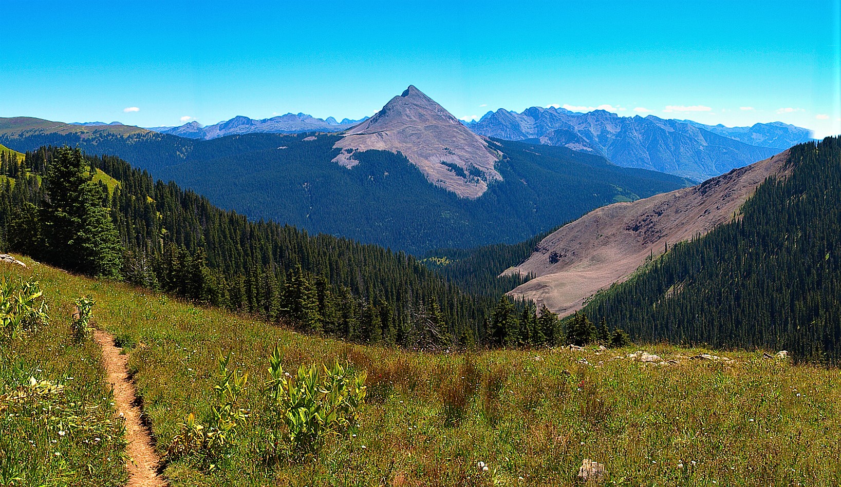 Plate CCLXXXI
Columbine
alpineColumbine high country, San Juan NF, Colorado
A red-banded horn the Columbine forest still looks at.
37.7° N · 107.8° WOpen plate →
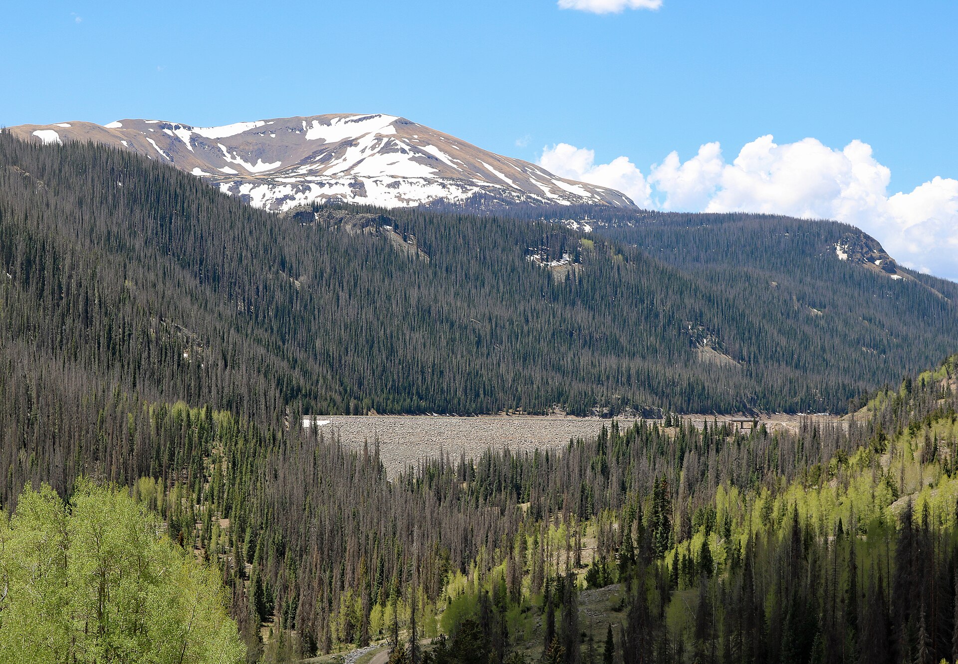 Plate CCLXXXII
Platoro
alpineConejos River, Rio Grande high country, Colorado
A reservoir the Conejos walls still keep.
37.4° N · 106.5° WOpen plate →
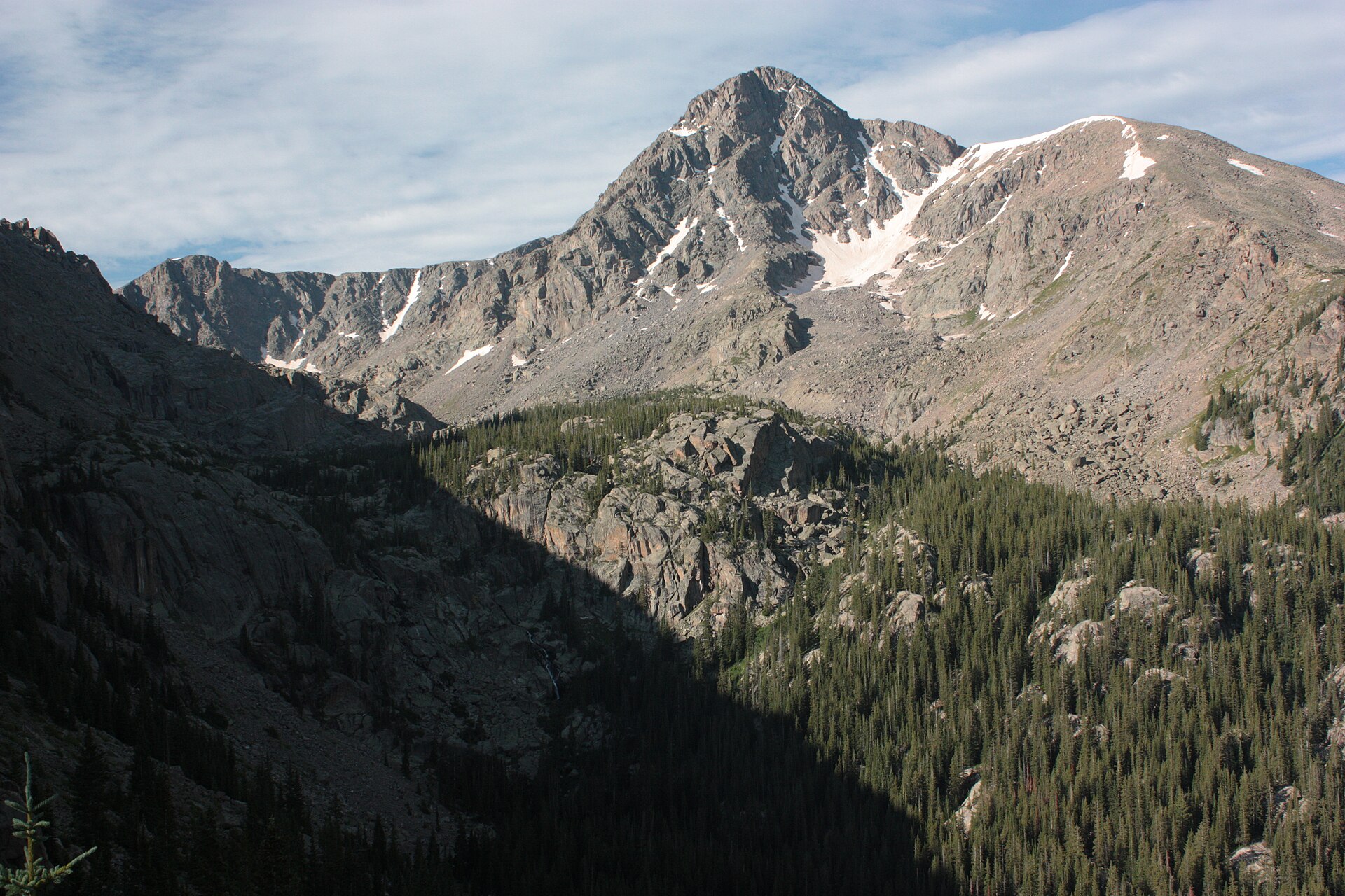 Plate CCLXXXIII
Holy Cross
alpineHoly Cross Wilderness, White River NF, Colorado
A cross of snow the wilderness still keeps.
39.5° N · 106.5° WOpen plate →
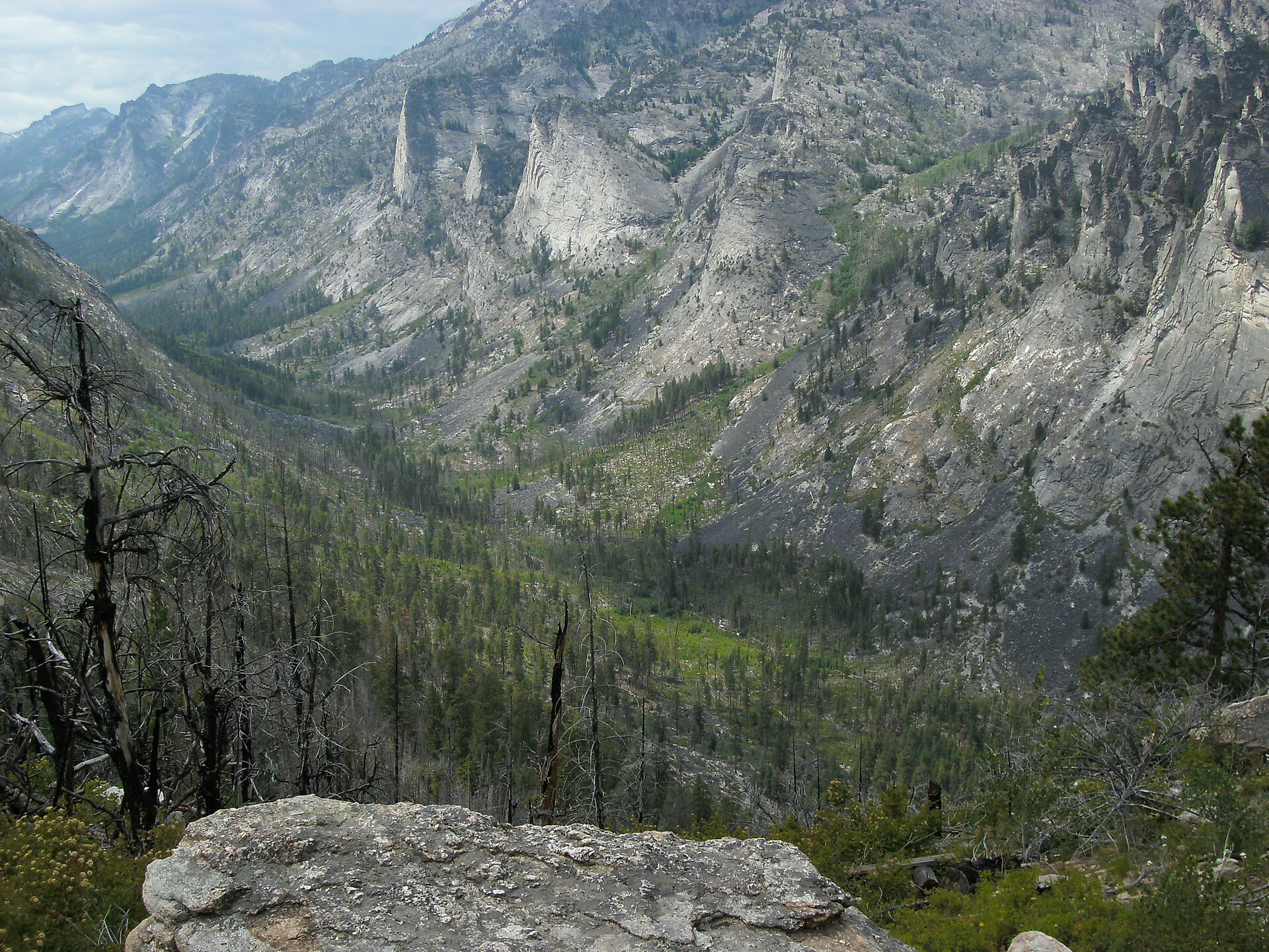 Plate CCLXXXVII
Blodgett Canyon
canyonBitterroot National Forest, Ravalli County, Montana
A granite canyon the Bitterroot still cuts.
46.3° N · 114.3° WOpen plate →
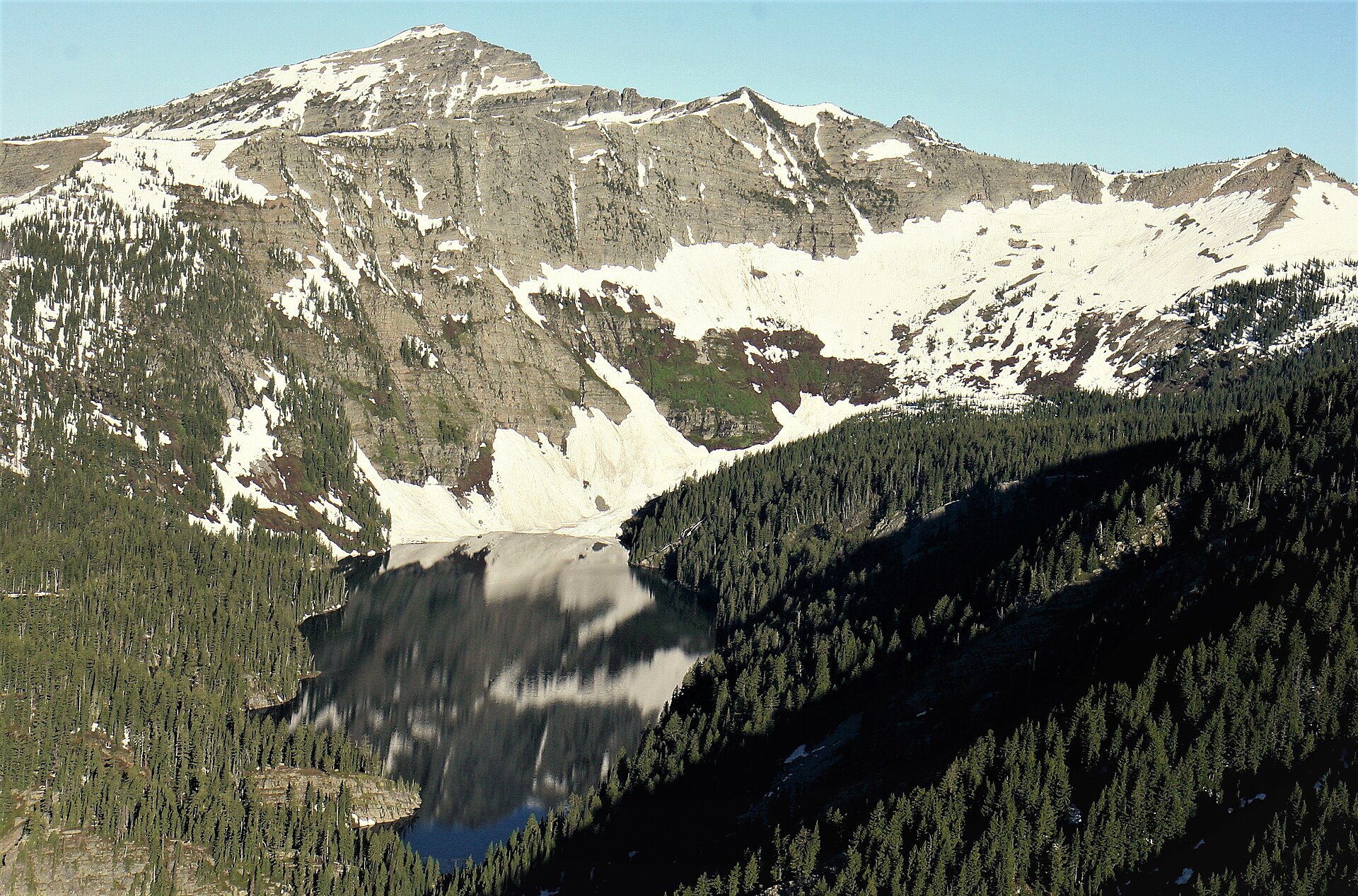 Plate CCLXXXVIII
Cabinet Mountains
alpineCabinet Mountains Wilderness, Kootenai NF, Montana
Lakes the Cabinet walls still hold.
48.2° N · 115.7° WOpen plate →
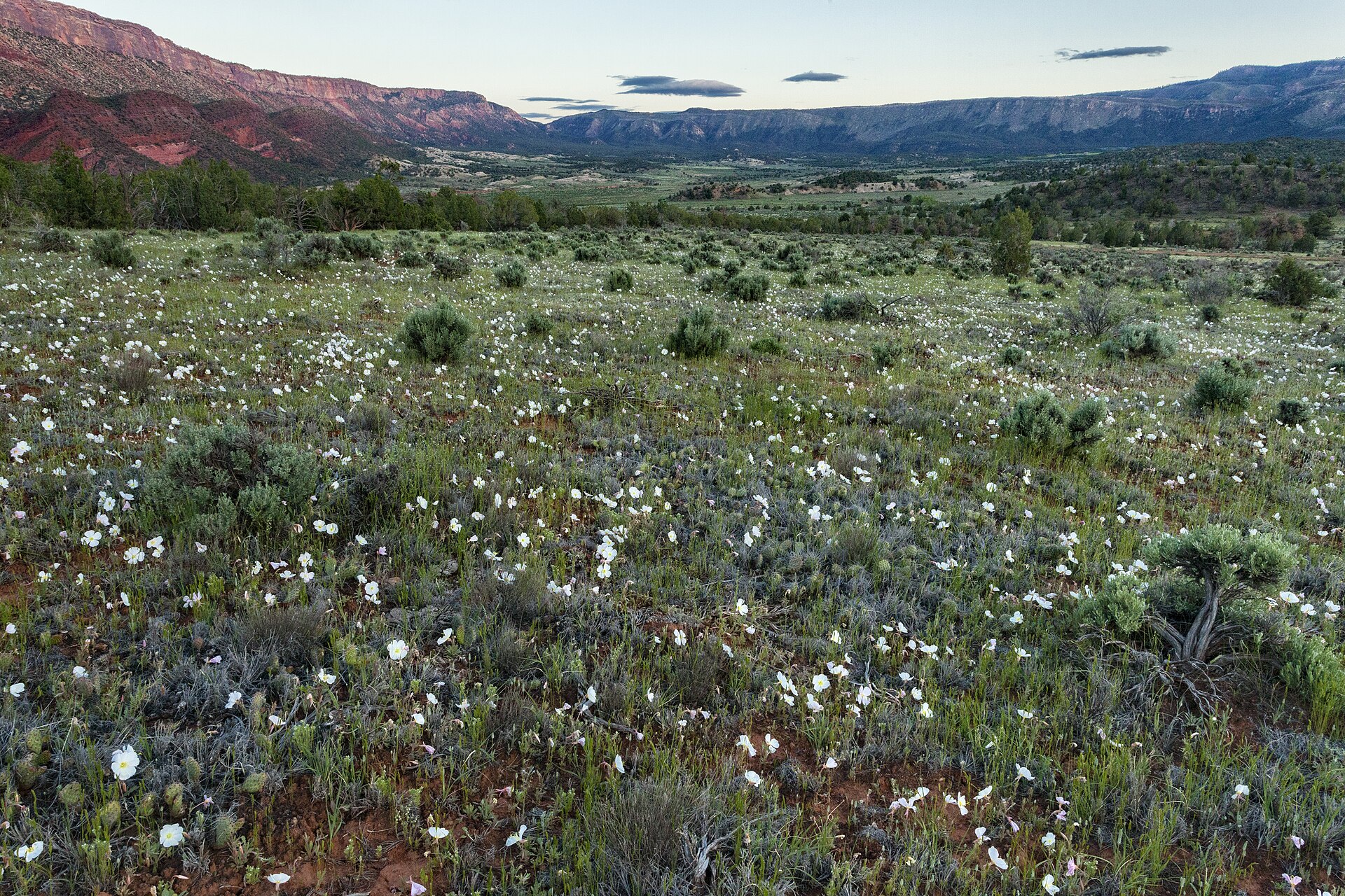 Plate CCXC
Uncompahgre Plateau
hillsSewemup and Unaweep country, Uncompahgre NF, Colorado
A mesa the forest still keeps high.
38.5° N · 108.6° WOpen plate →
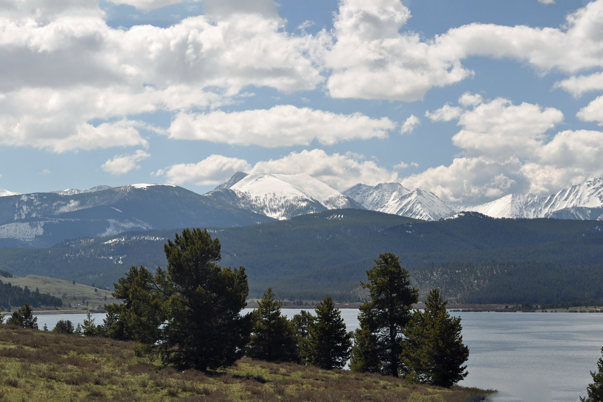 Plate CCXCI
Anaconda-Pintler
alpineAnaconda-Pintler Wilderness, Beaverhead-Deerlodge NF, Montana
A wilderness the Pintler wall still keeps.
46.0° N · 113.4° WOpen plate →
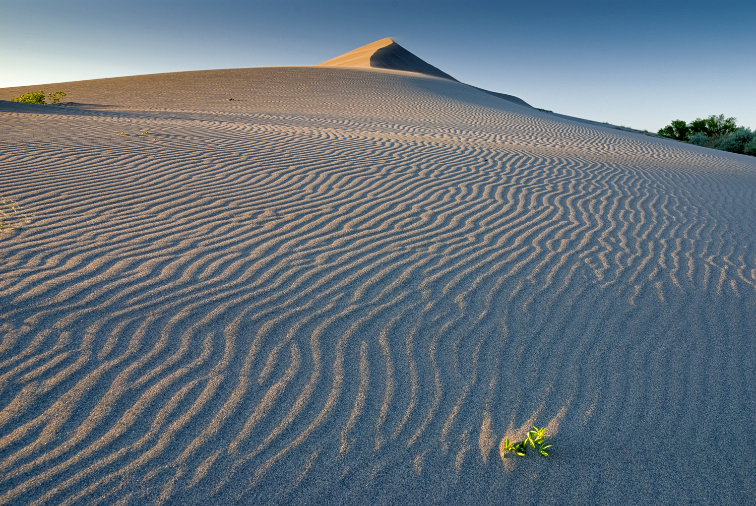 Plate CCCXXIII
Bruneau Dunes
duneBruneau Dunes State Park, Snake River Plain, Idaho
A pale dune ridge over sage and a hard Idaho sky.
42.9° N · 115.7° WOpen plate →
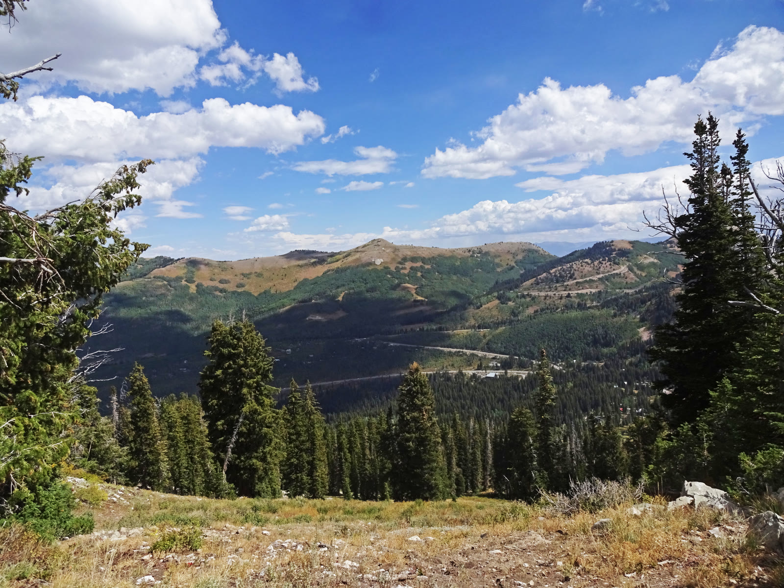 Plate CCCXXXVI
Guardsman Pass Overlook
alpineWasatch saddle, Salt Lake and Wasatch counties, Utah
A high saddle the canyon road has to cross.
40.6° N · 111.6° WOpen plate →
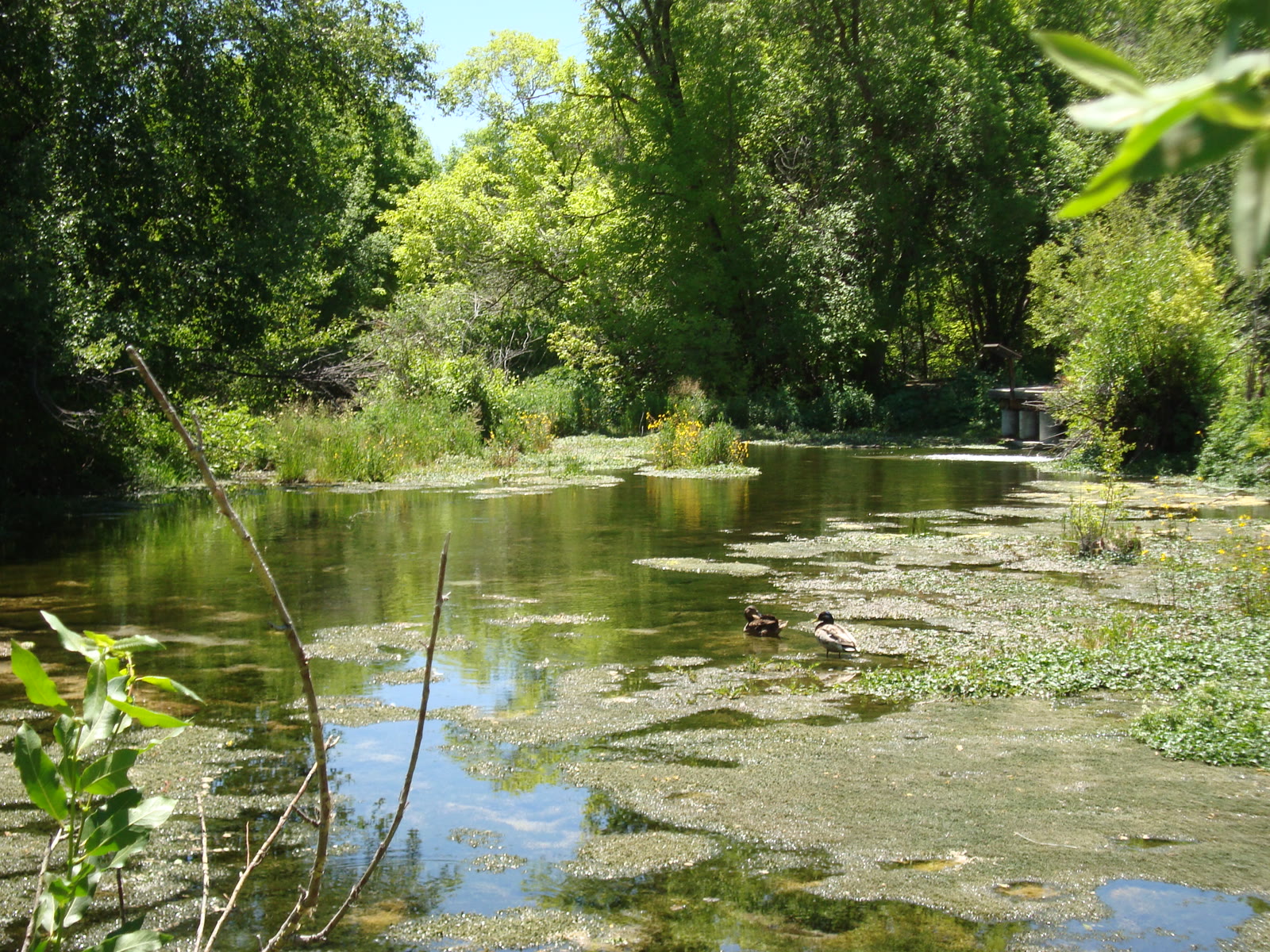 Plate CCCXXXVII
Cascade Springs
wetlandAmerican Fork fee area, Alpine Loop, Utah
Cold water building its own stone stairs.
40.5° N · 111.5° WOpen plate →
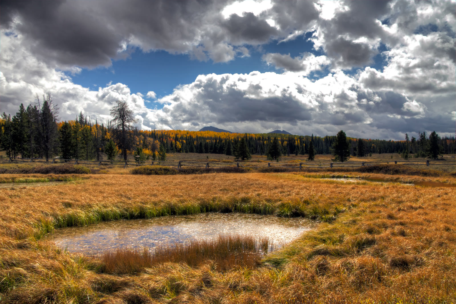 Plate CCCXXXVIII
Mirror Lake Highway
alpineUtah 150, Kamas to the Wyoming line, Utah
The paved road that reads the west Uintas.
40.7° N · 110.9° WOpen plate →
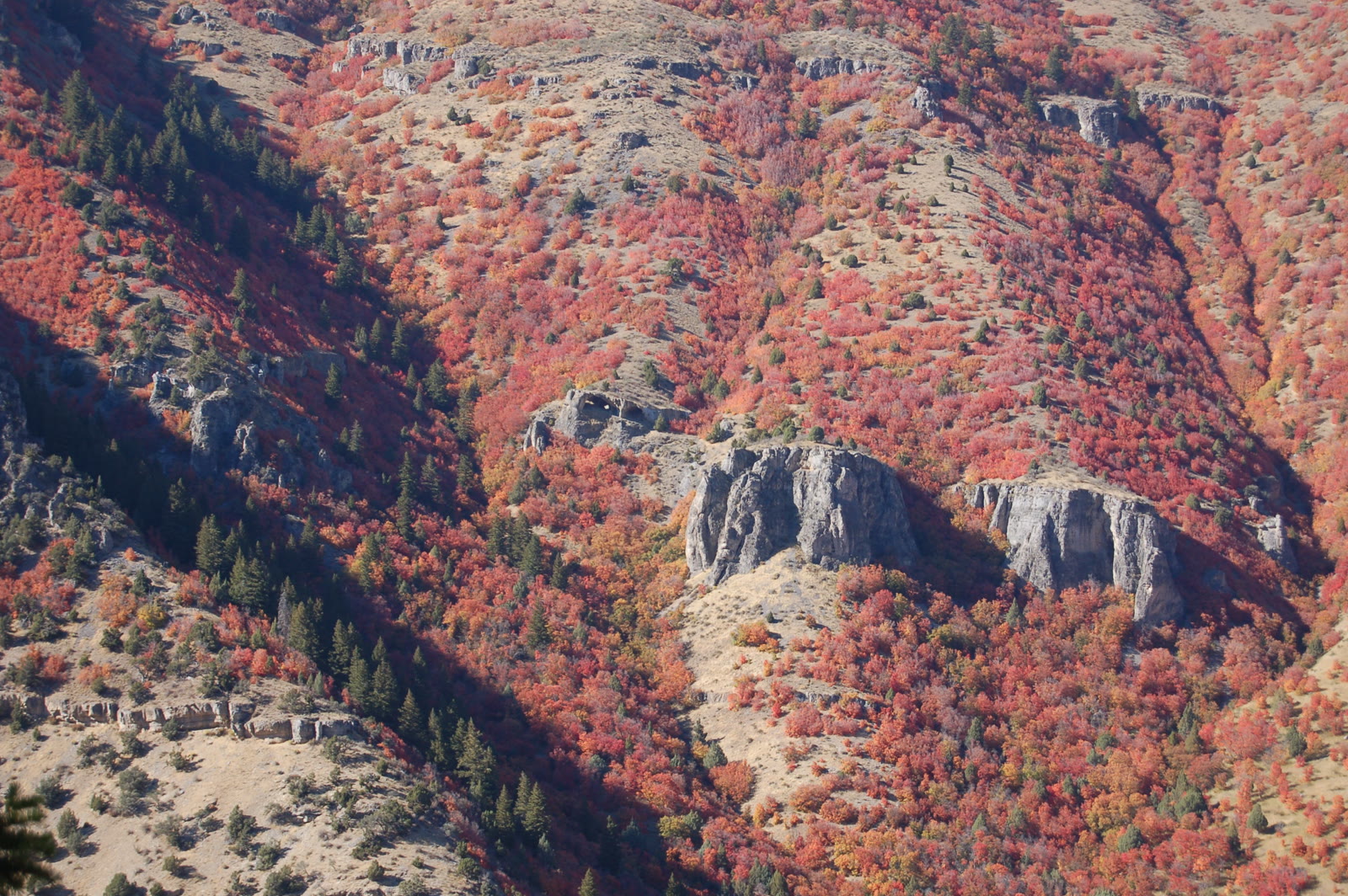 Plate CCCXXXIX
Logan Canyon Wind Caves
canyonUS-89, Logan Canyon, Utah
Limestone windows in the canyon wall.
41.8° N · 111.7° WOpen plate →
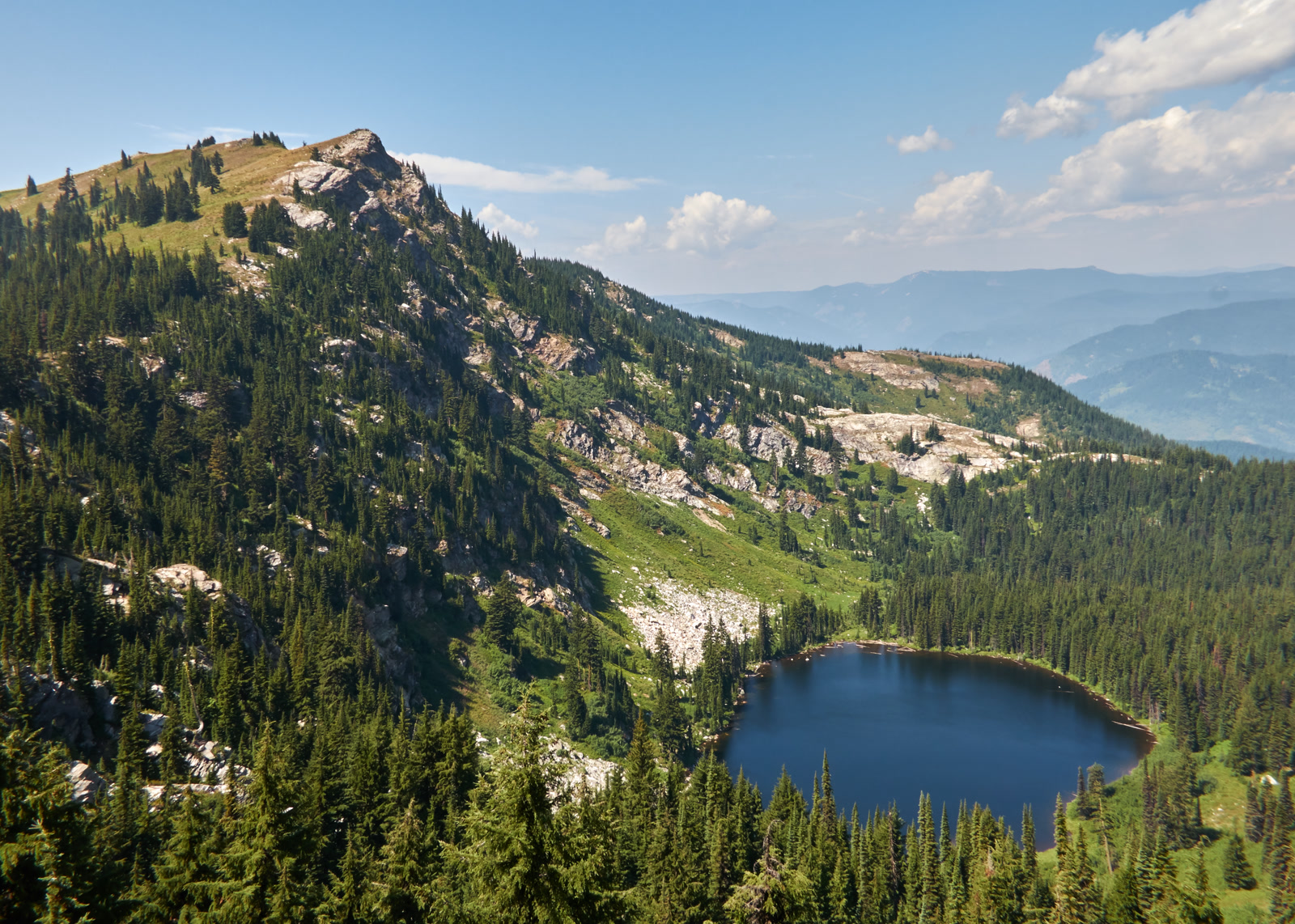 Plate CCCXLIII
Larkins Lake
alpineMallard-Larkins Pioneer Area, St. Joe, Idaho
A named lake under its own Clearwater peak.
47.0° N · 115.6° WOpen plate →
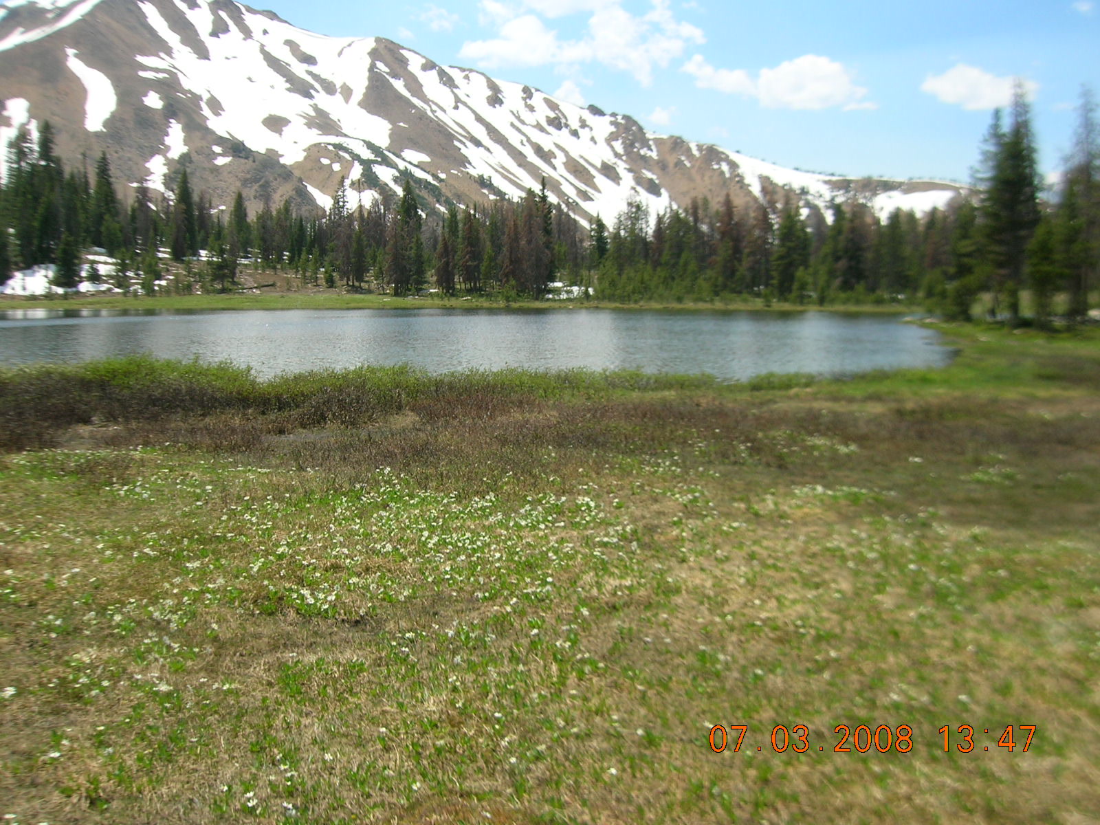 Plate CCCXLIV
Fourth of July Lake
alpineWhite Cloud Mountains, Sawtooth NRA, Idaho
High water in the quieter range beside the Sawtooths.
44.0° N · 114.6° WOpen plate →
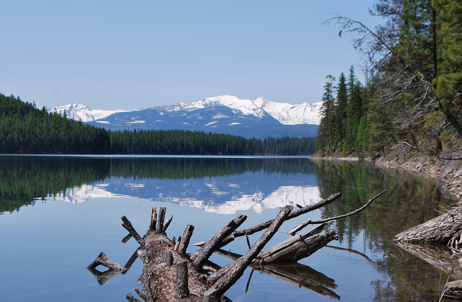 Plate CCCLIV
Holland Lake
alpineSwan Range, Flathead National Forest, Montana
A Forest Service lake under the Swan crest.
47.5° N · 113.6° WOpen plate →
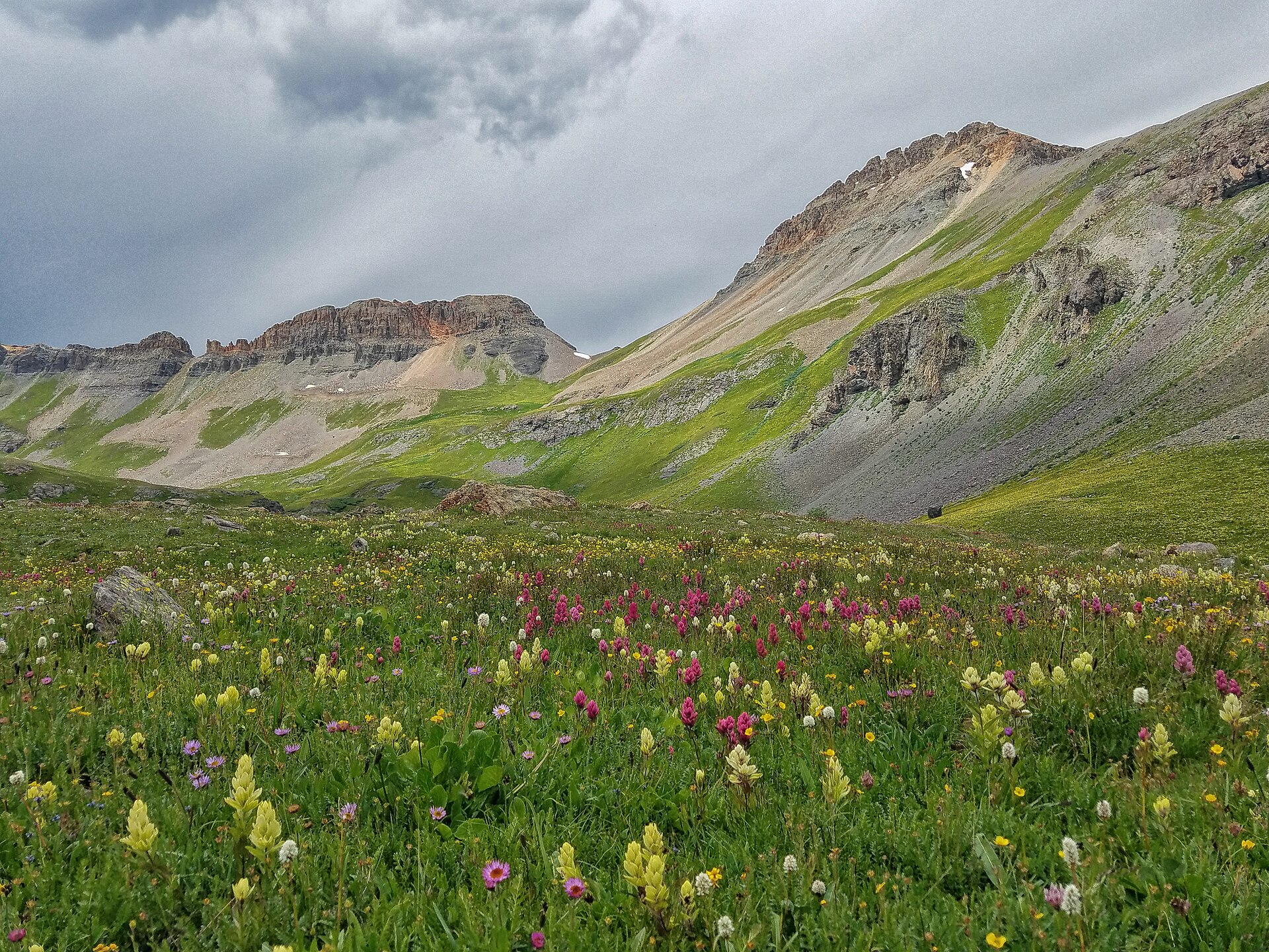 Plate CCCLVII
Ice Lake
alpineIce Lake Basin, San Juan National Forest, Colorado
A high turquoise bowl above Silverton.
37.8° N · 107.8° WOpen plate →
Asked at the trailhead
Questions already asked
- Which Rocky Mountain parks are in this atlas?
- Plates from Colorado, Wyoming, Montana, and neighboring high country. The Rockies index is the list for mountain road trips along the divide.
Change course