Back to the atlas
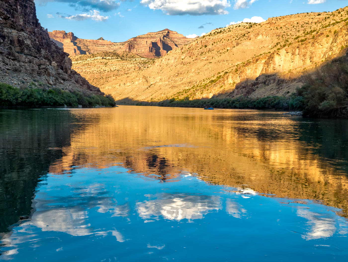
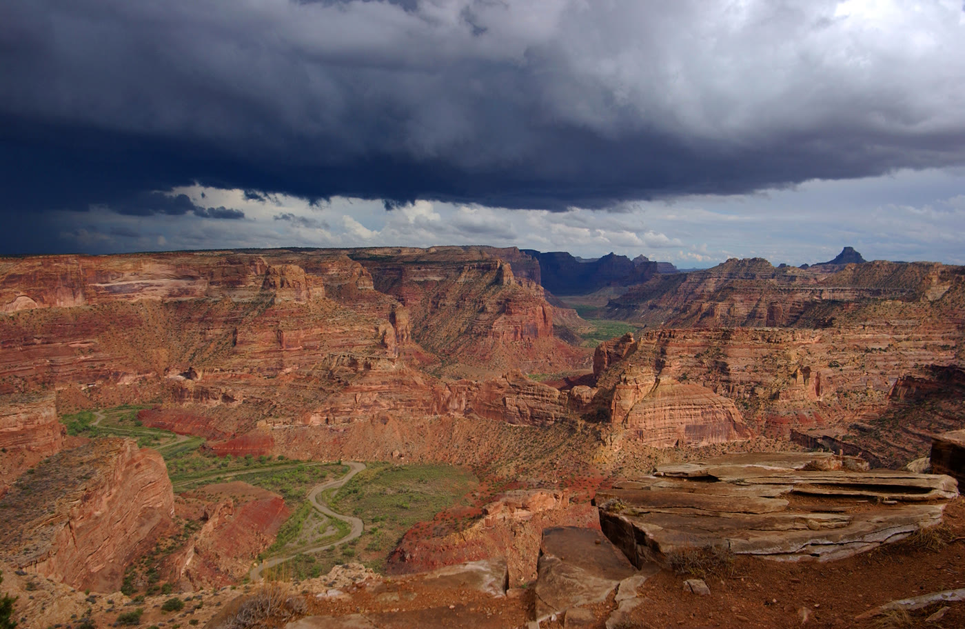
Still water and layered walls in Desolation Canyon

Fig. 1Still water and layered walls in Desolation Canyon

Photo: mypubliclands · CC BY 2.0

Landform

A long, remote Green River trench through layered benches — wilderness water, not a roadside overlook.

Field note

The walls step back in benches. The water holds the sky. This is Desolation on the Green, days from a road, not a named arch or a Swell rim.
A private leaf

Prints from Desolation Canyon


Instant paper, this copy only. Write on the white — a line the walk still owes you.

The prints

0 / 24

Opening the leaf…

Onward

A day's country


The nearest plates, by the miles.

Canyon chapter

More canyon destinations


Other US canyon plates. See all canyon destinations in the USA

Fold-out

On the chart


Vintage map of the United States