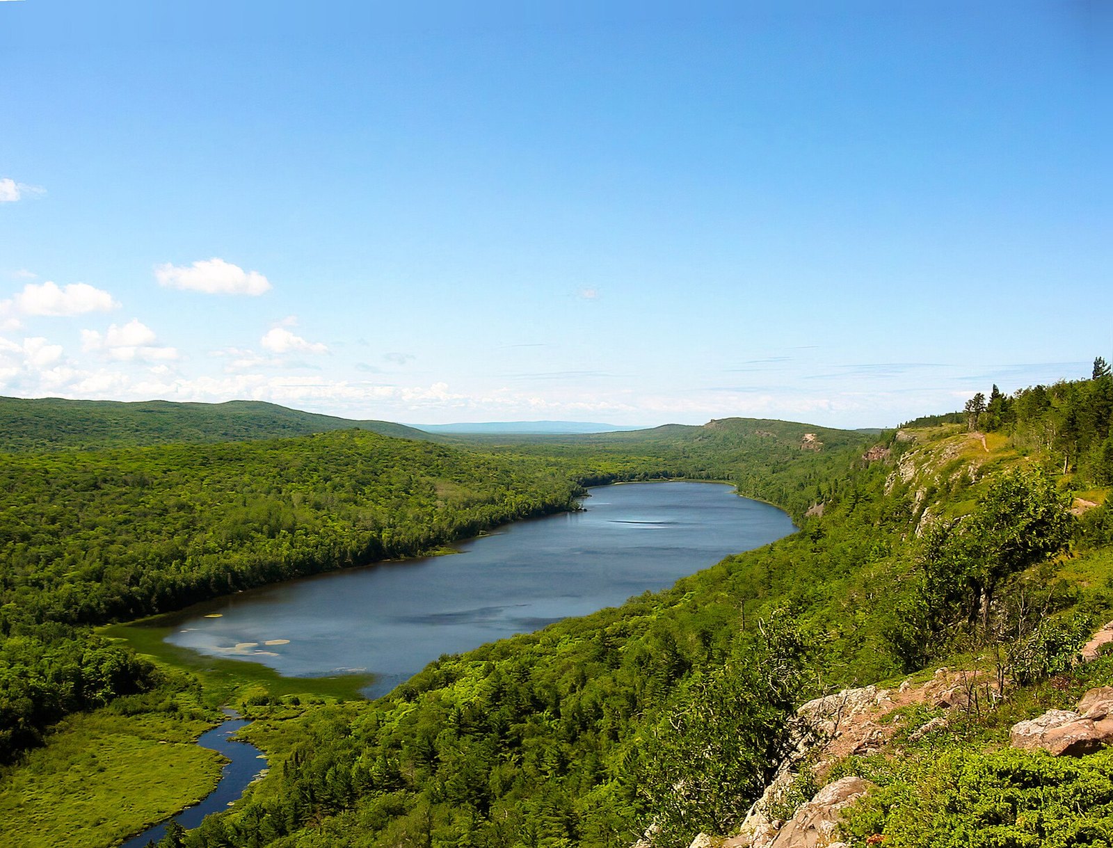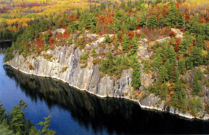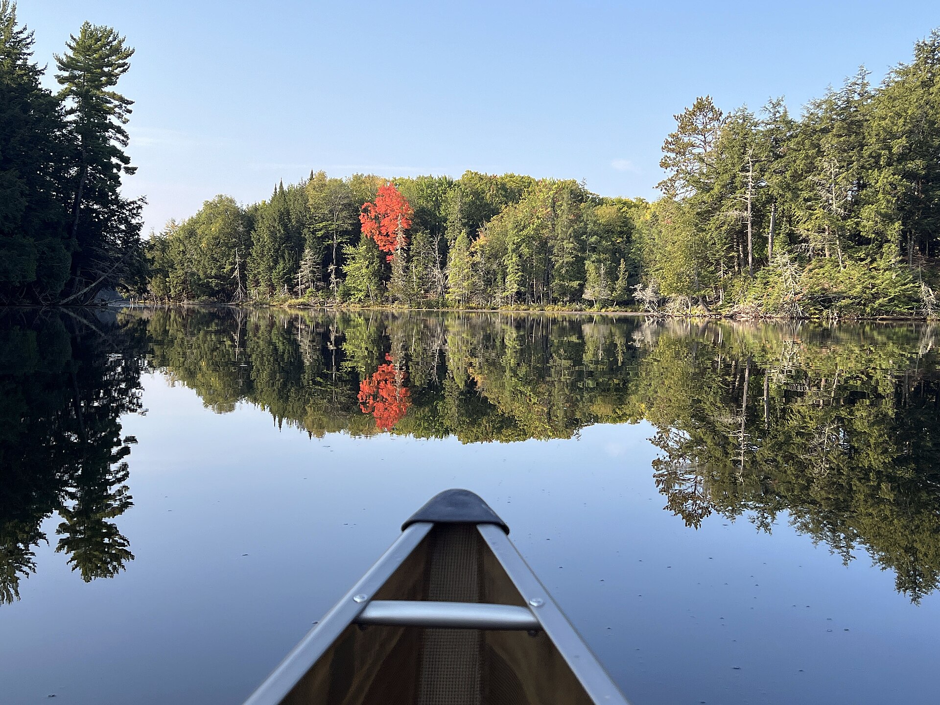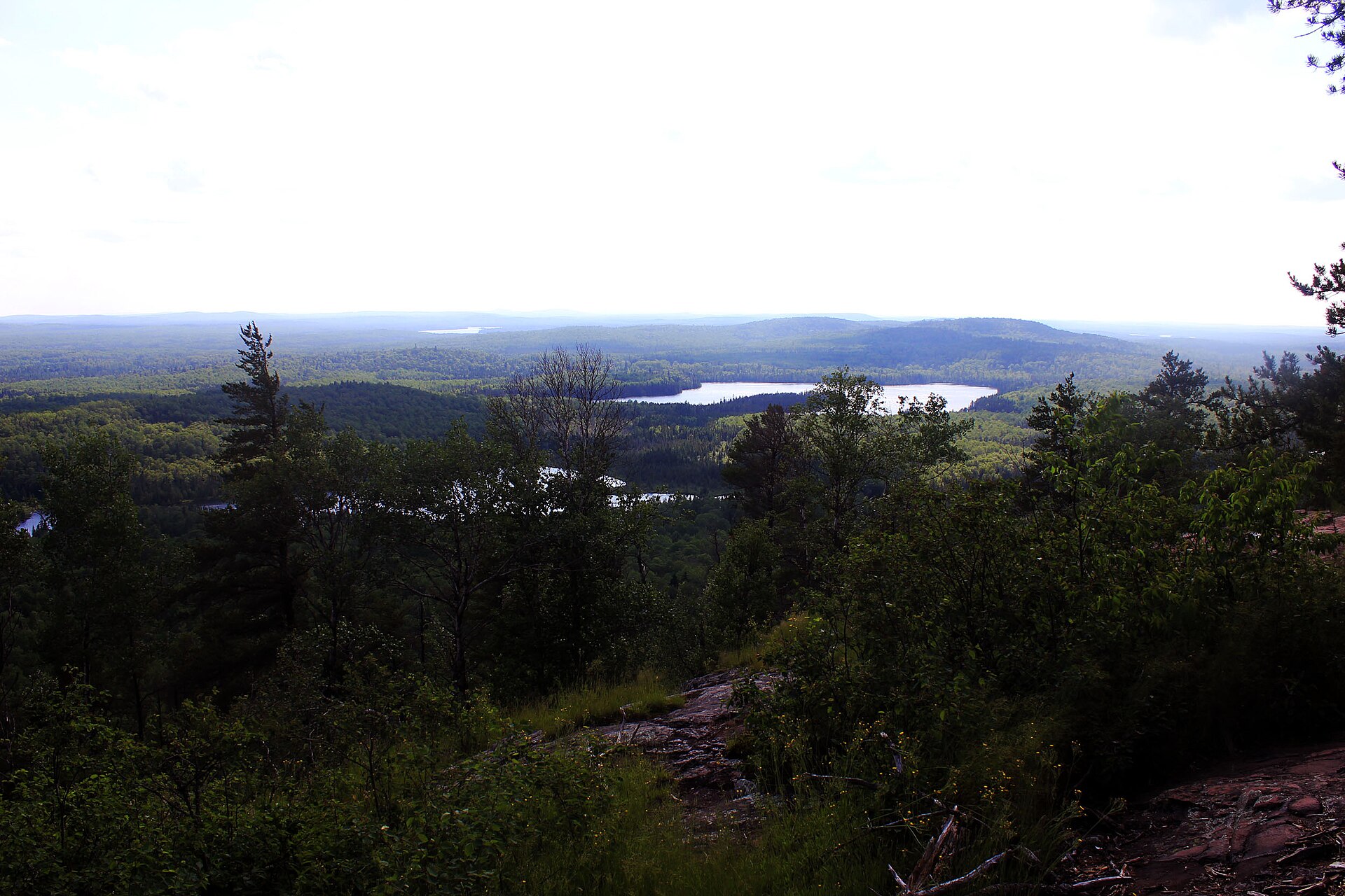
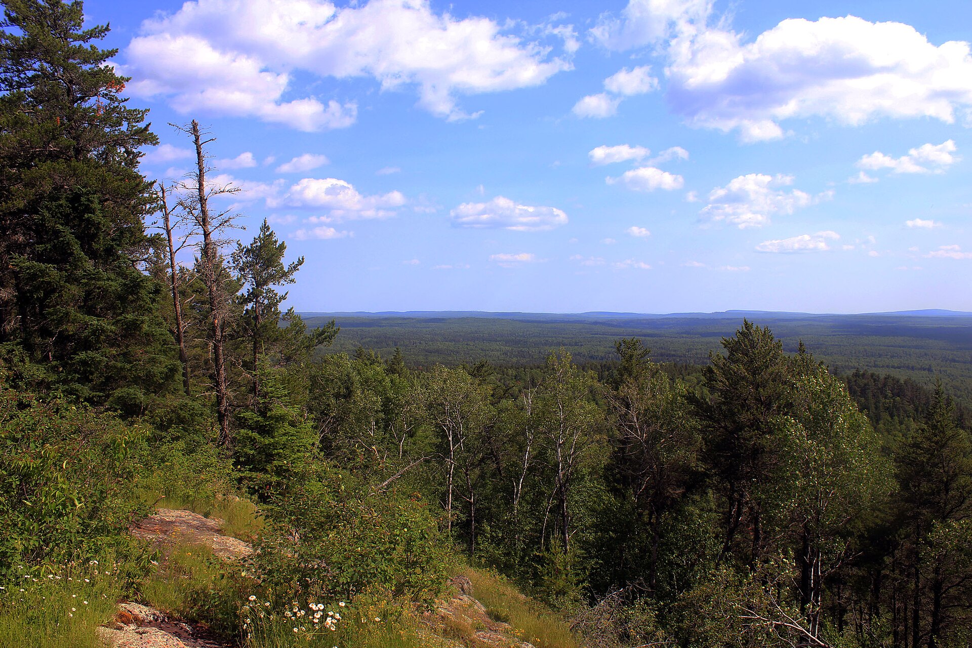
Fig. 1Lakes and forest from the Eagle Mountain summit
Landform
A rounded Superior National Forest summit northwest of Grand Marais
Field note
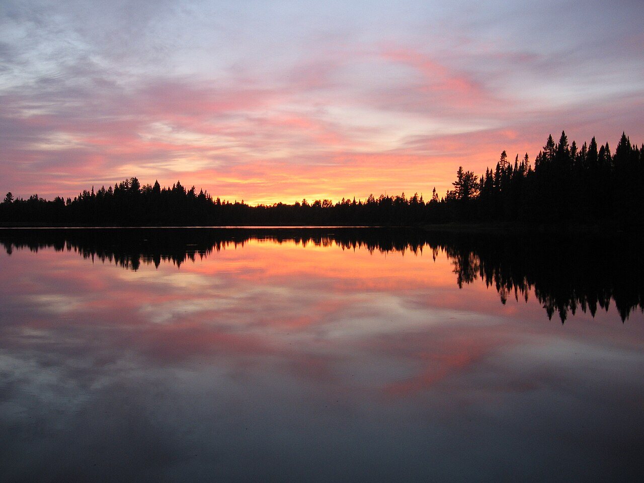
Eagle Mountain stands at 2,301 feet in the Misquah Hills, inside the Boundary Waters highlands of Superior National Forest, northwest of Grand Marais. The walk ends at a summit rock and a view of lakes. The canoe routes of that same wilderness stay on the Boundary Waters plate. McCormick is an Ottawa tract in Michigan. This plate is the Minnesota summit.
Eagle Mountain is the highest point in Minnesota, a Superior National Forest summit northwest of Grand Marais. The walk ends at the rock and the lakes. This plate is the summit, not the Boundary Waters portages and not McCormick.