The Field Atlas
0/363Inland seas
Great Lakes destinations in the USA
The Great Lakes behave like a freshwater ocean. Dunes, sea caves, hardwood gorges, and restored tallgrass at Midewin sit on or near their rims.
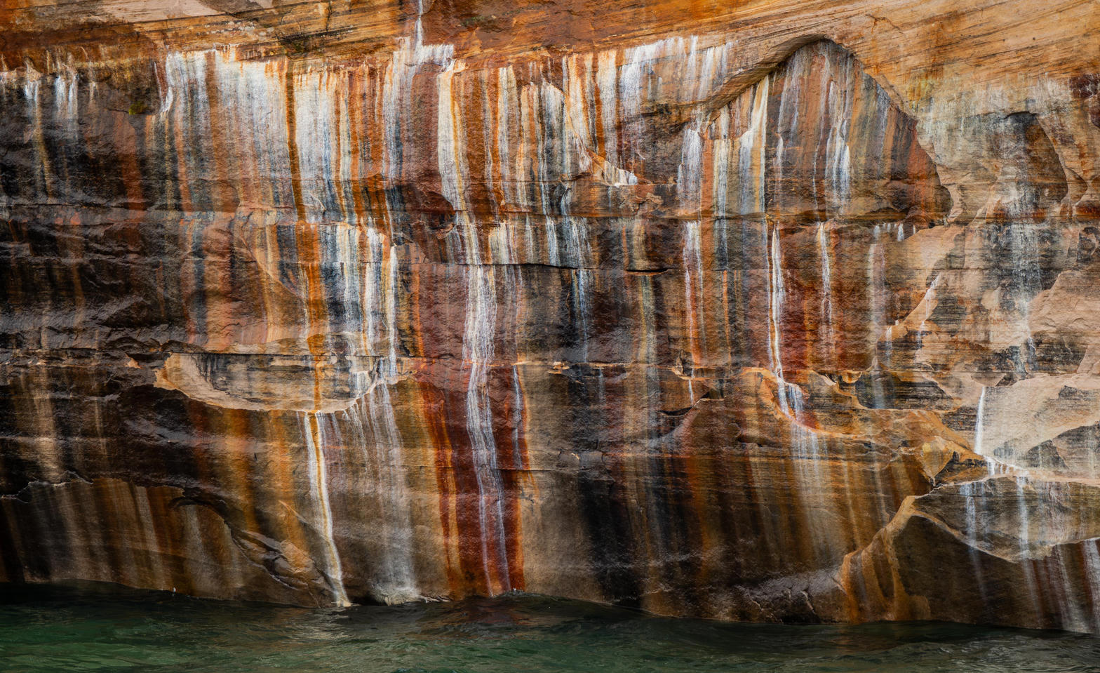
FrontispiecePictured Rocks, Michigan
These plates are for travel that turns inland and still finds a horizon. McCormick Wilderness holds Lower Baraga Lake in the Ottawa hardwoods, east of the Porkies. Sylvania is the Ottawa wilderness of lakes west of Watersmeet. Eagle Mountain is the Superior National Forest summit northwest of Grand Marais, a walk rather than a portage.
- Plates
- 14
- States
- 4
Great Lakes
The plates
Plate XXIIIPictured Rocks
coastLake Superior shore, Michigan
A painted wall standing in freshwater sea.
46.6° N · 86.3° WOpen plate →
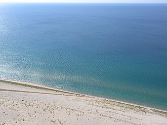 Plate XLVIII
Sleeping Bear Dunes
duneMichigan
A dune so high the lake looks like another sky.
44.9° N · 86.1° WOpen plate →
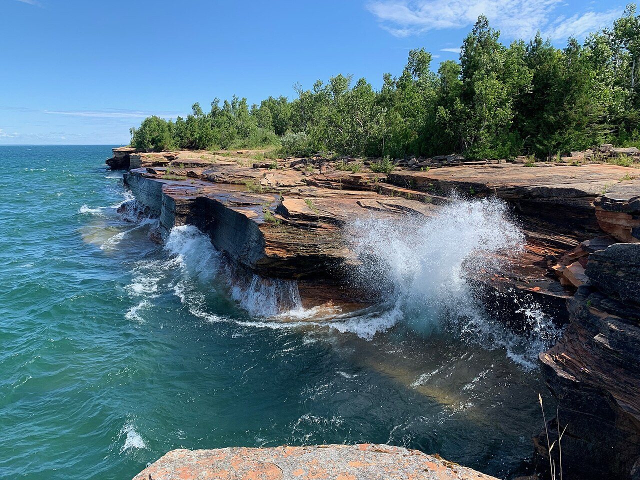 Plate LXXIII
Apostle Islands
coastLake Superior, Bayfield Peninsula, Wisconsin
A red-stone archipelago in a freshwater ocean.
47.0° N · 90.7° WOpen plate →
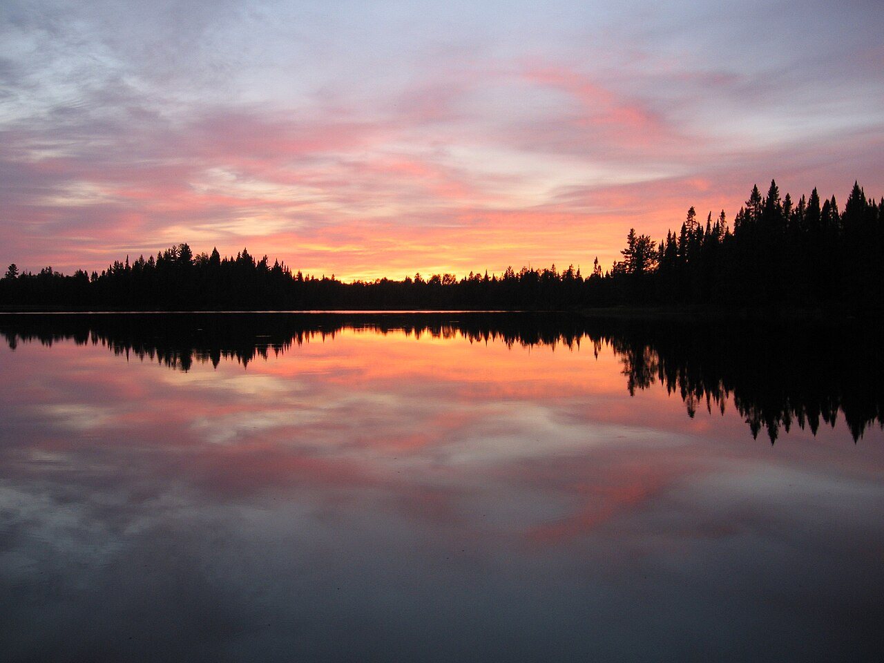 Plate LXXXI
Boundary Waters
forestSuperior National Forest, Minnesota
A forest you cross by water, one lake at a time.
48.0° N · 91.5° WOpen plate →
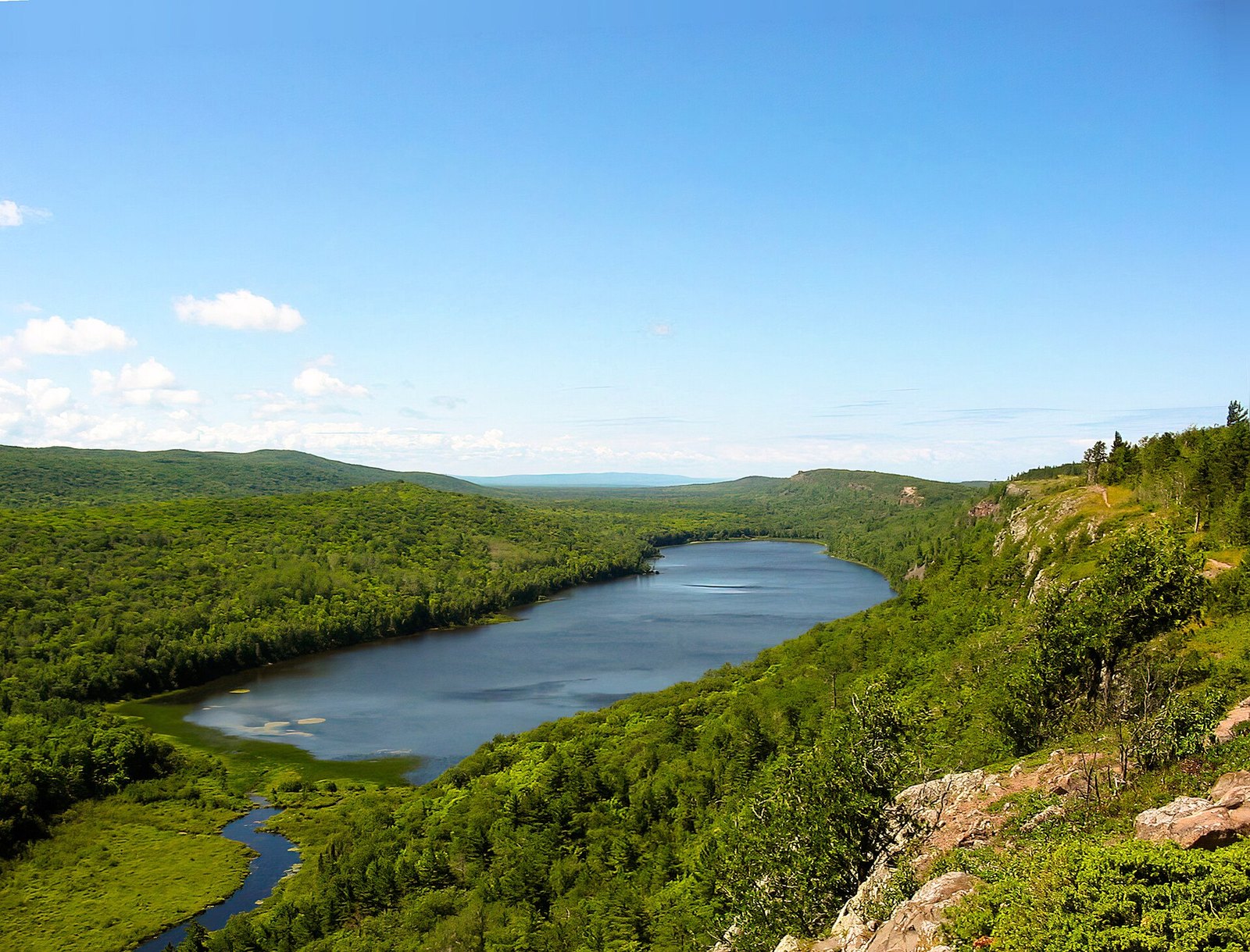 Plate CXXXIII
Lake of the Clouds
hillsPorcupine Mountains, Upper Peninsula, Michigan
A lake that sits in a notch of an old mountain.
46.8° N · 89.8° WOpen plate →
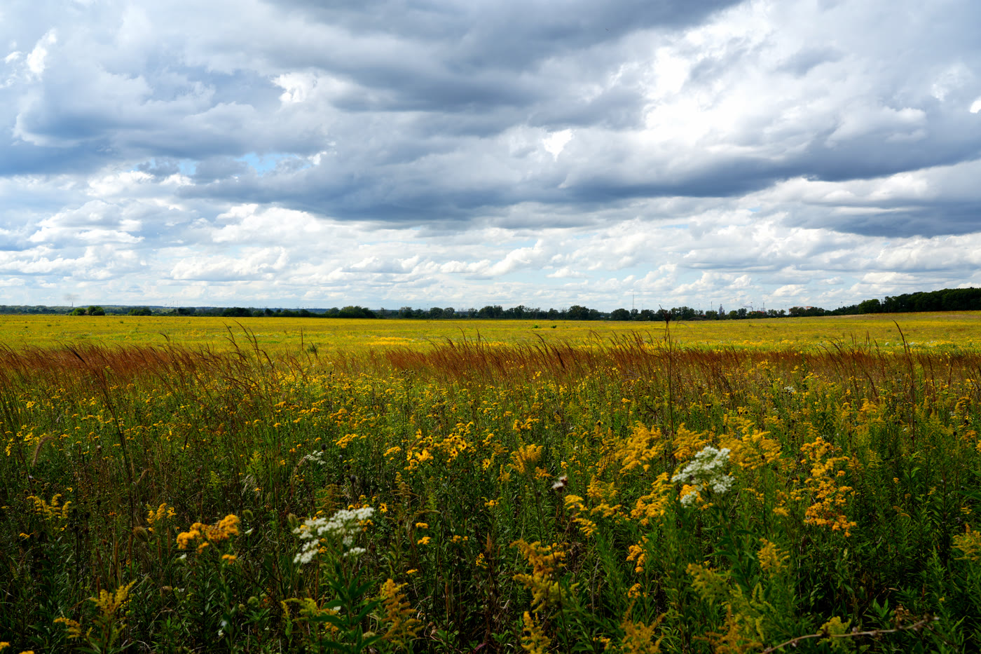 Plate CLVI
Midewin National Tallgrass Prairie
prairieWill County, south of Joliet, Illinois
Illinois tallgrass grown back on an arsenal prairie.
41.4° N · 88.1° WOpen plate →
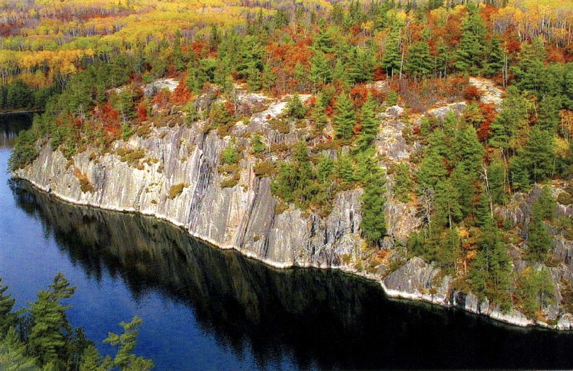 Plate CCCV
Voyageurs
forestKabetogama, Rainy, and Namakan lakes, Minnesota
A park you enter by water.
48.5° N · 92.8° WOpen plate →
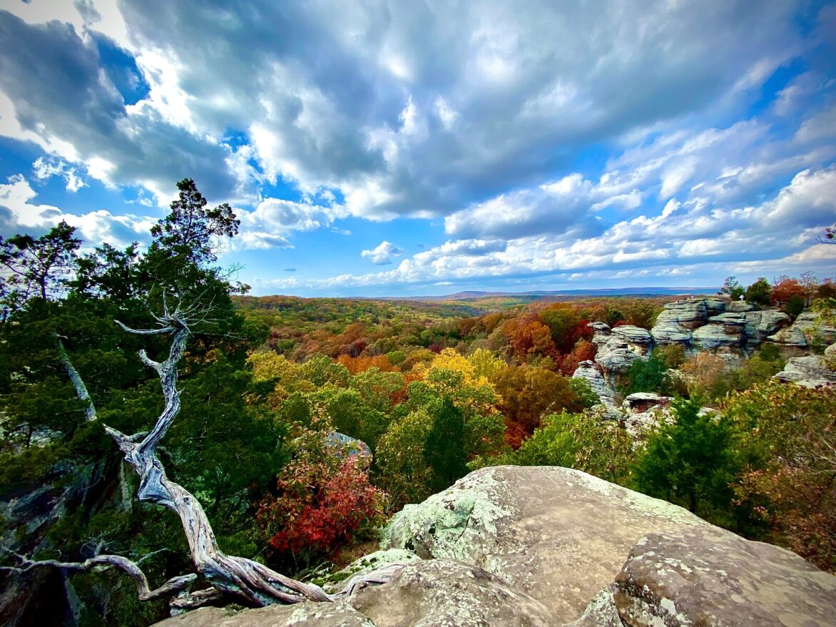 Plate CCCVI
Shawnee Garden of the Gods
hillsGarden of the Gods Wilderness, Shawnee NF, Illinois
Illinois stone the fall still paints.
37.6° N · 88.4° WOpen plate →
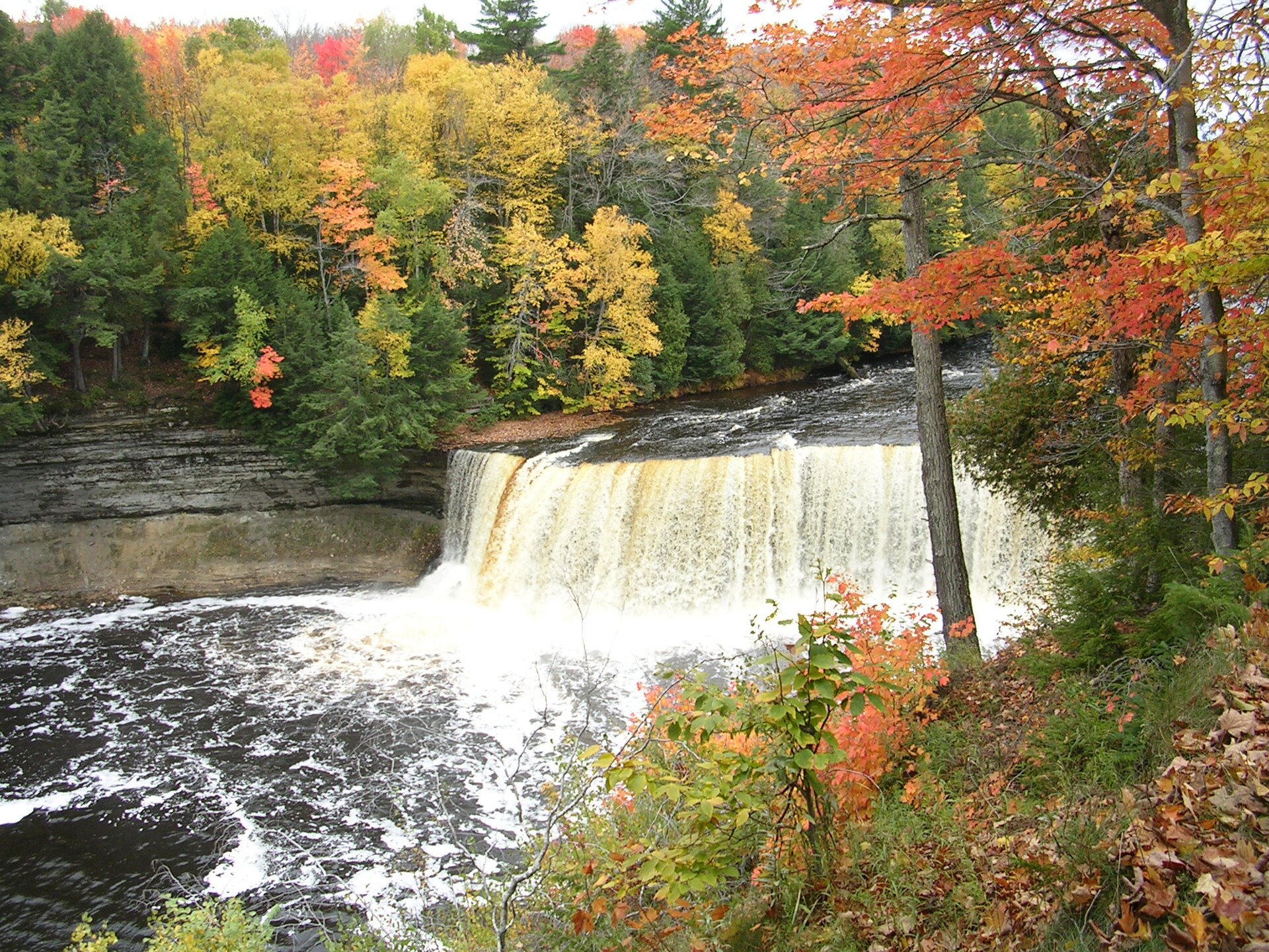 Plate CCCX
Tahquamenon Falls
forestTahquamenon Falls State Park, Upper Peninsula, Michigan
Root-tea water under an Upper Peninsula maple.
46.6° N · 85.3° WOpen plate →
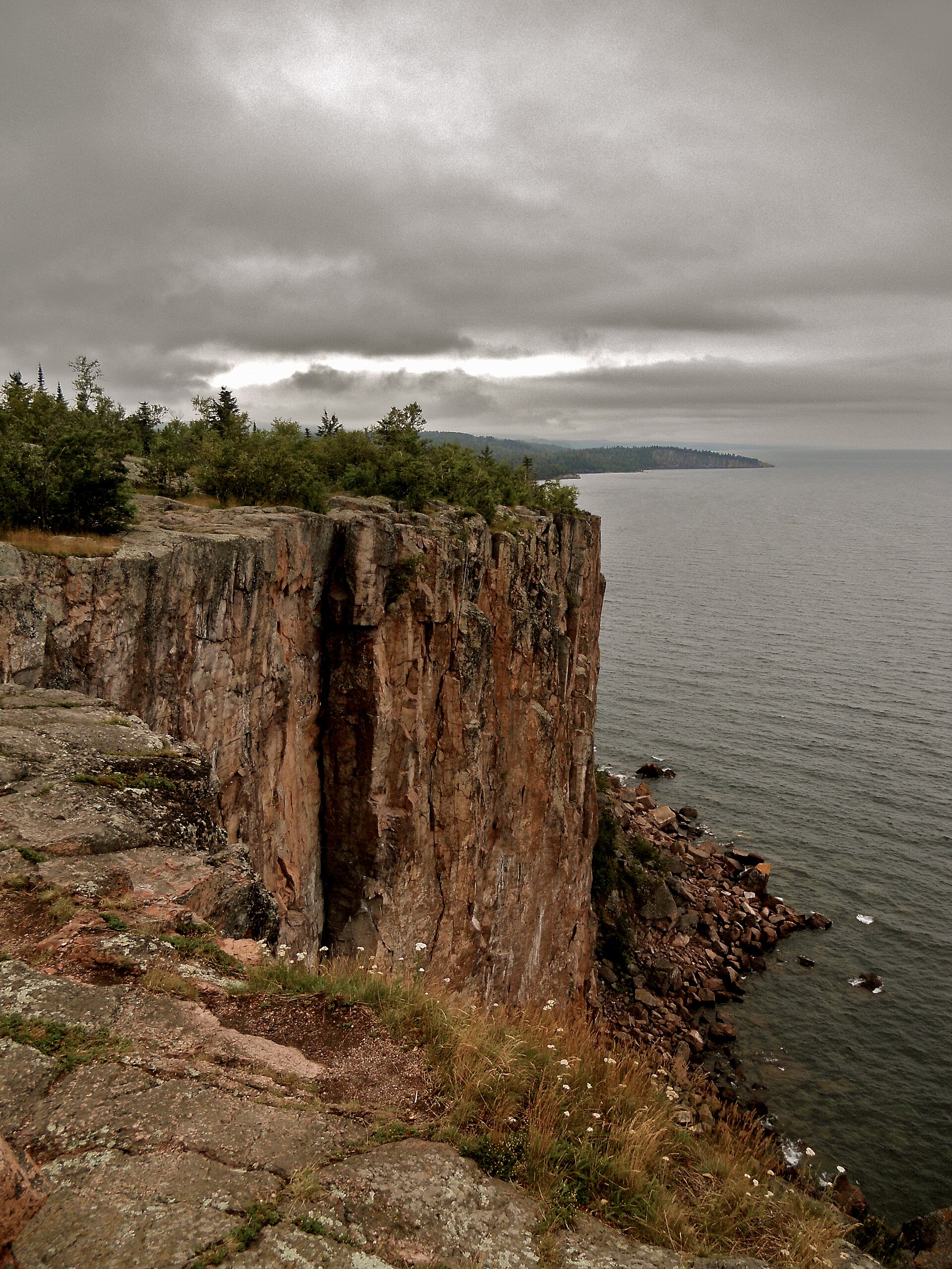 Plate CCCXI
Palisade Head
coastTettegouche State Park, North Shore, Minnesota
A rhyolite cliff dropping into Superior.
47.3° N · 91.2° WOpen plate →
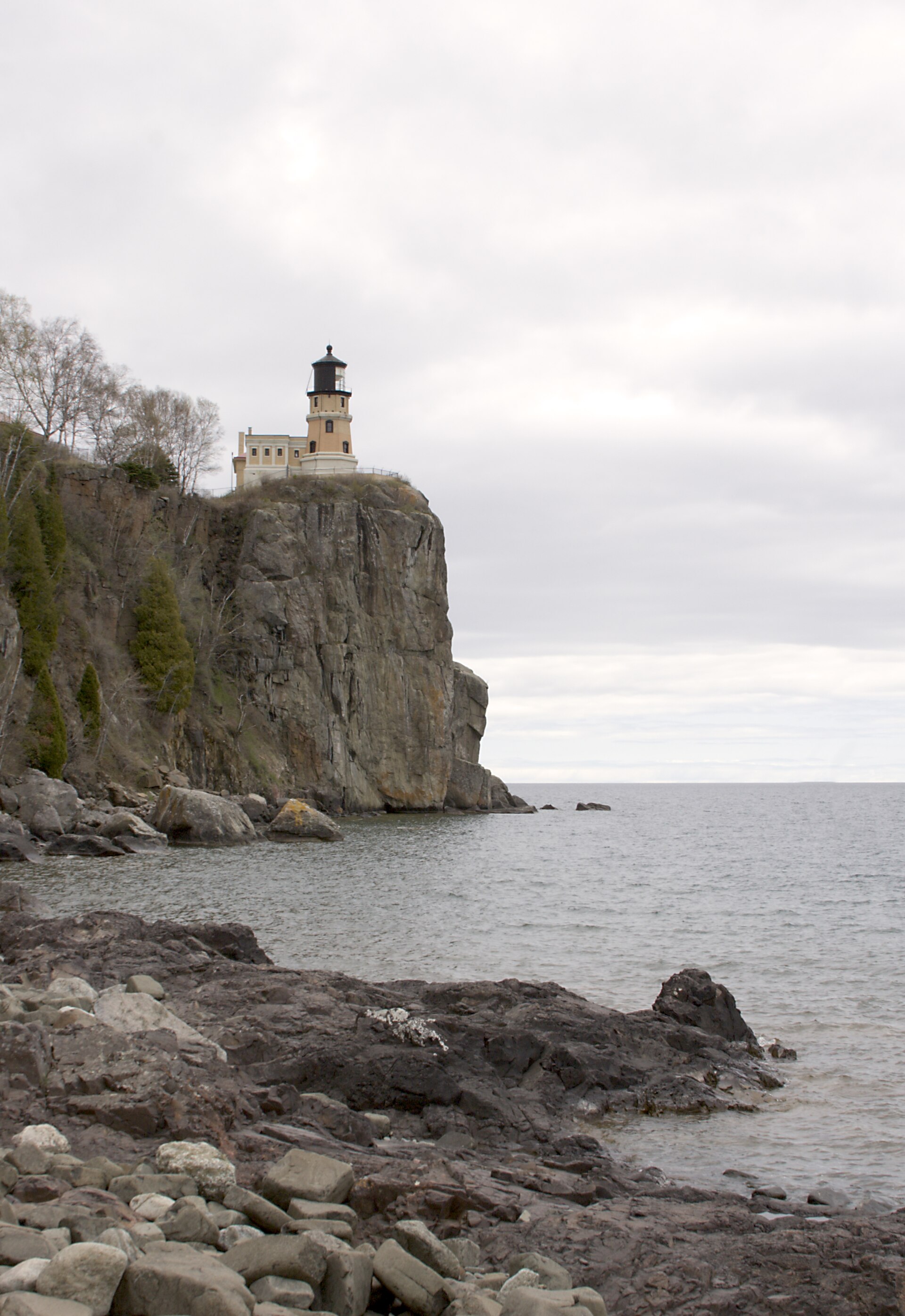 Plate CCCXVI
Split Rock
coastSplit Rock Lighthouse State Park, North Shore, Minnesota
A Superior cliff and a light on the brow.
47.2° N · 91.4° WOpen plate →
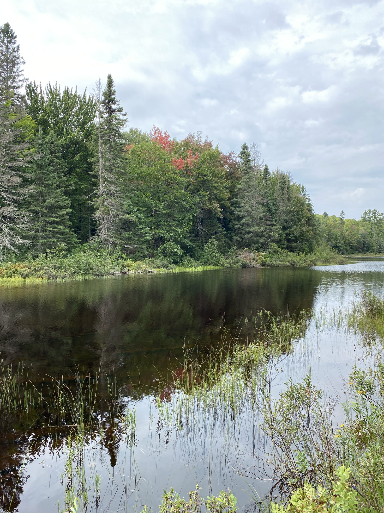 Plate CCCXLII
McCormick Wilderness
forestLower Baraga Lake, Ottawa National Forest, Michigan
A quiet Ottawa lake under early color.
46.7° N · 88.0° WOpen plate →
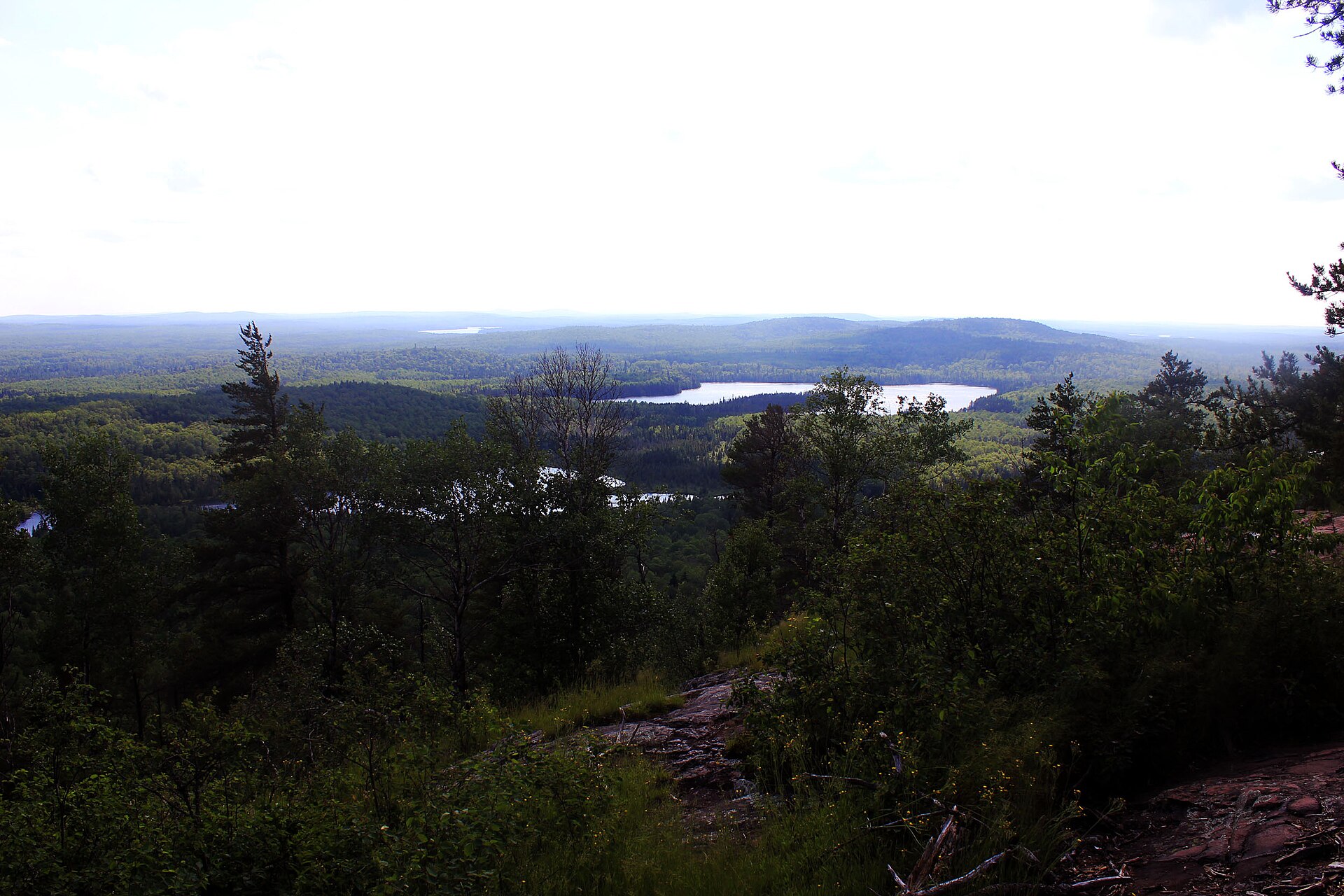 Plate CCCXLIX
Eagle Mountain
hillsMisquah Hills, Superior National Forest, Minnesota
The highest rock in Minnesota.
47.9° N · 90.6° WOpen plate →
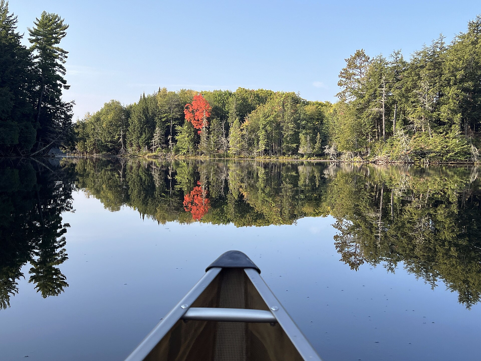 Plate CCCLXII
Sylvania Wilderness
forestOttawa National Forest, Gogebic County, Michigan
Canoe water in old Ottawa woods.
46.2° N · 89.3° WOpen plate →
Asked at the trailhead
Questions already asked
- Is there wilderness travel near the Great Lakes?
- Yes. Dune shores, forested gorges, lake-country plates, and Midewin National Tallgrass Prairie are listed on this region page.
Change course