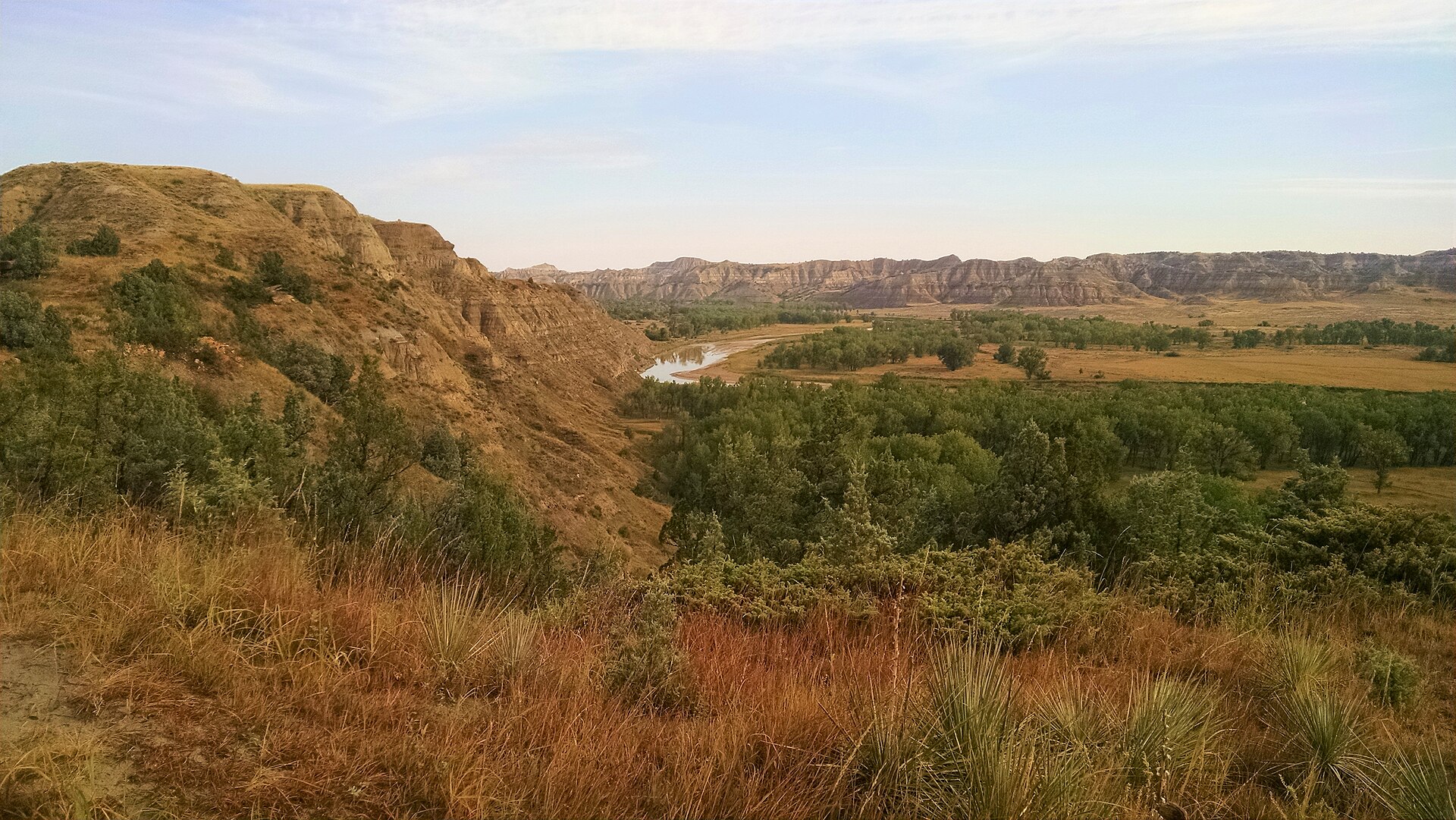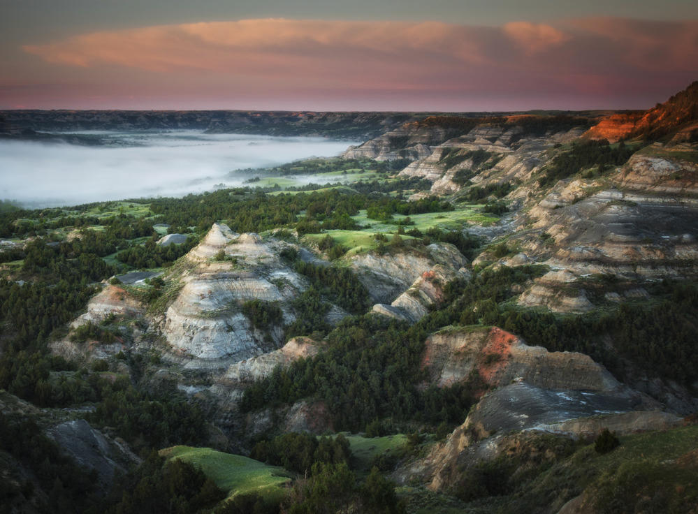
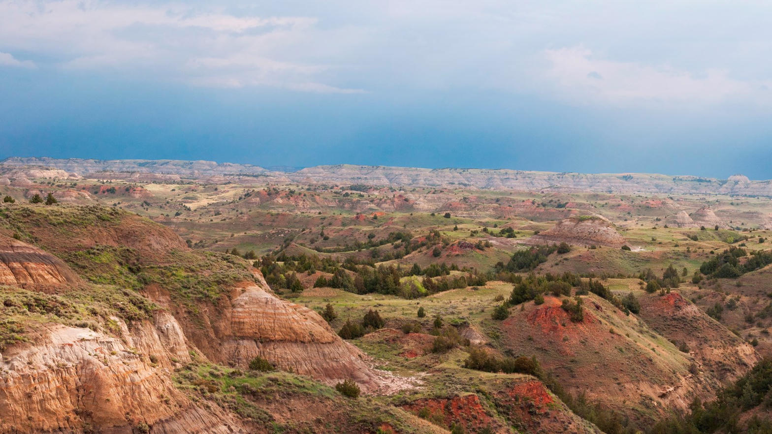
Fig. 1Fog in the South Unit badlands at last light
Landform
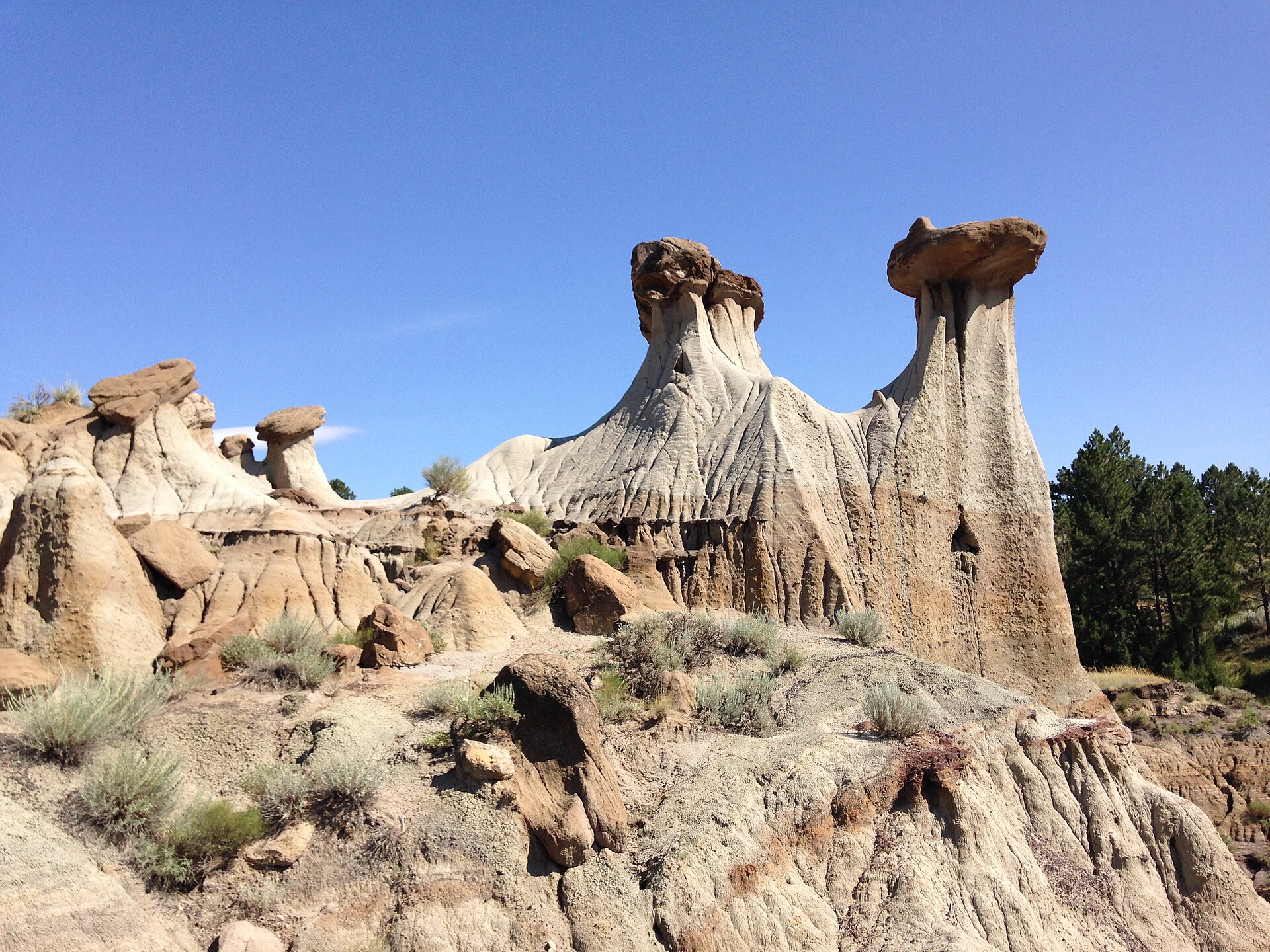
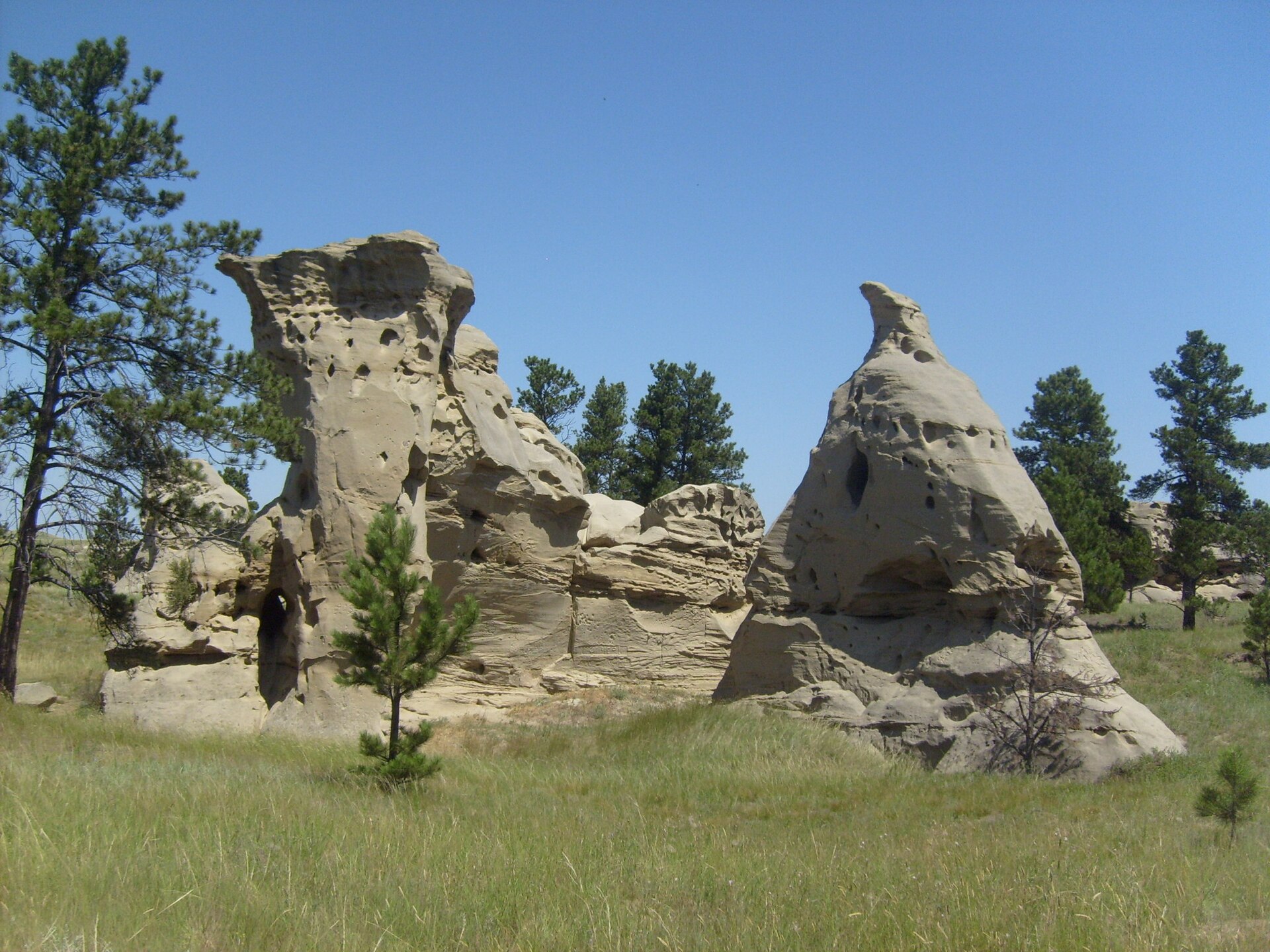
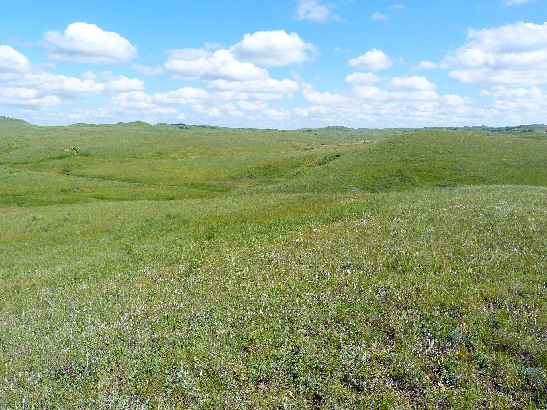
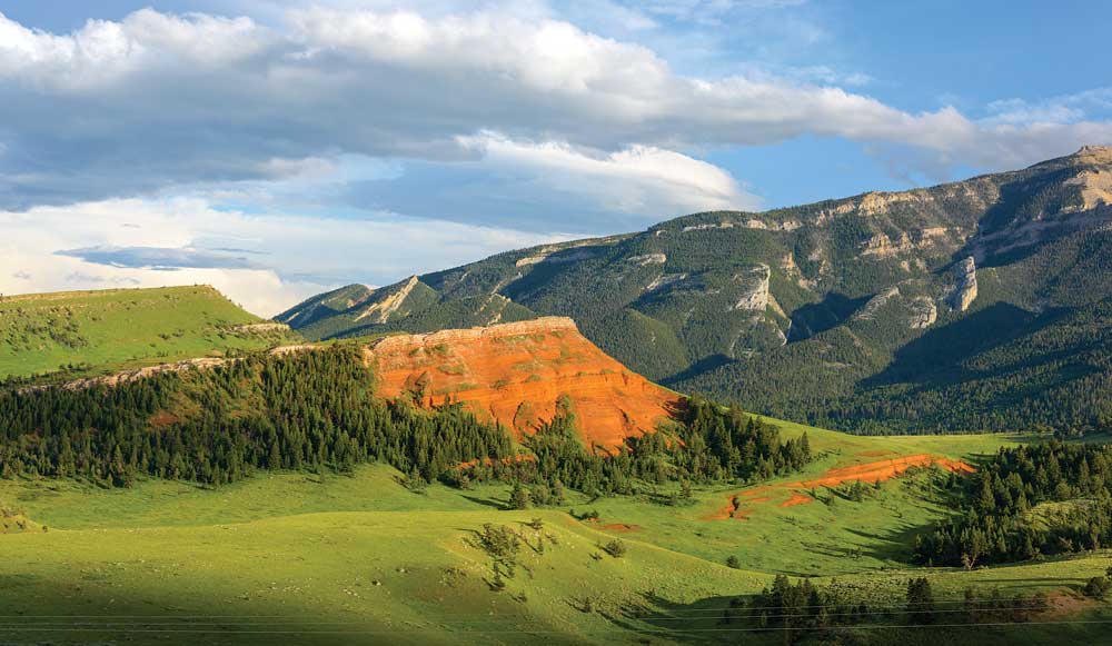
NPS painted badlands on the Little Missouri — South Unit loop above Medora, North Unit at Oxbow Overlook, and the small Elkhorn Ranch Unit between them. Soft Tertiary clay and scoria, bison range, grass on every bench.
Field note
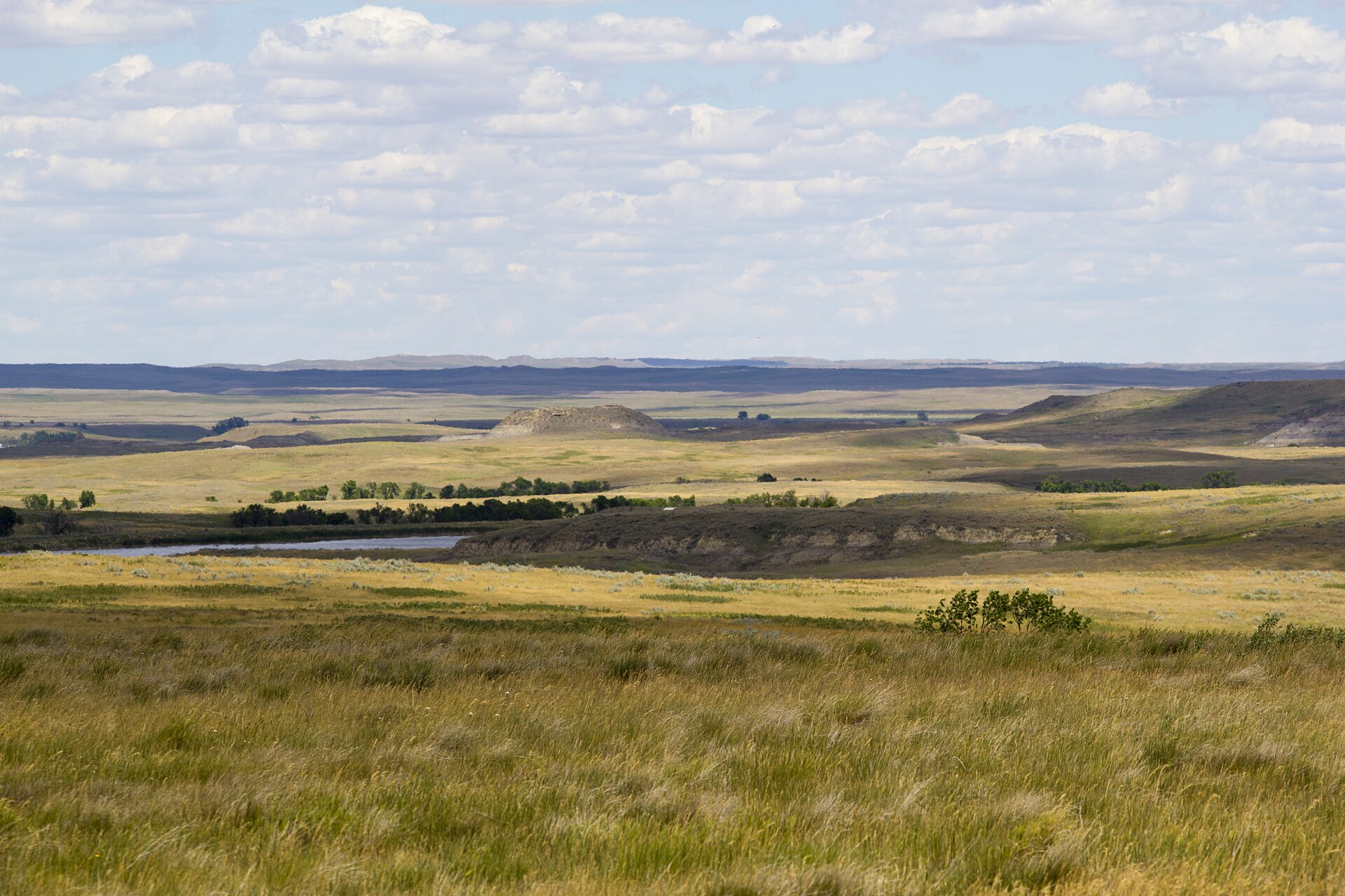
This plate is Theodore Roosevelt National Park. The South Unit is the Scenic Loop out of Medora: painted hills, bison, and dawn fog in the draws. The North Unit sits farther upriver — lonelier, with Oxbow Overlook over the river bend. The Elkhorn Ranch Unit is the ranch site, not a loop. The Forest Service grassland around the park is a different plate — Burnt Hills on Little Missouri National Grassland.