Landform
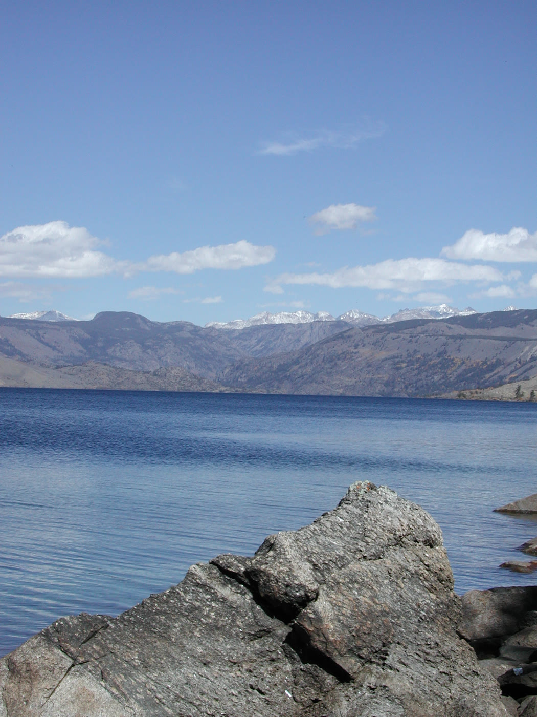
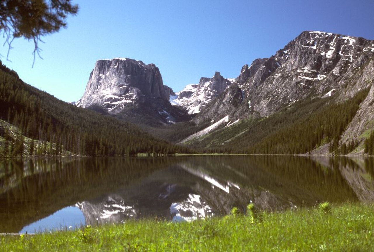
A deep glacial lake at the foot of the Wind Rivers — granite shore, snow on the far wall.
Field note
Pinedale is the last town. The water is deeper than it looks. The range holds the far shore.
The Field Atlas
0/363Alpine chapter · 42.95° N · 109.80° W
A deep glacial lake at the foot of the Wind Rivers — granite shore, snow on the far wall.
Pinedale is the last town. The water is deeper than it looks. The range holds the far shore.
A private leaf
Instant paper, this copy only. Write on the white — a line the walk still owes you.
0 / 24
Opening the leaf…
Onward
The nearest plates, by the miles.
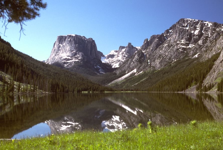 Green River Lakes26 miles · WyomingLXXXV
 Cirque of the Towers31 miles · WyomingCL
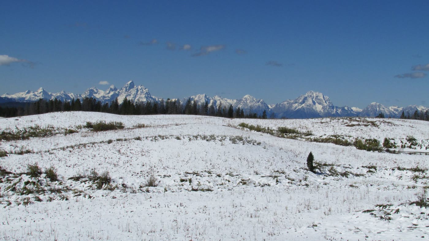 Togwotee Pass57 miles · WyomingCLXIII
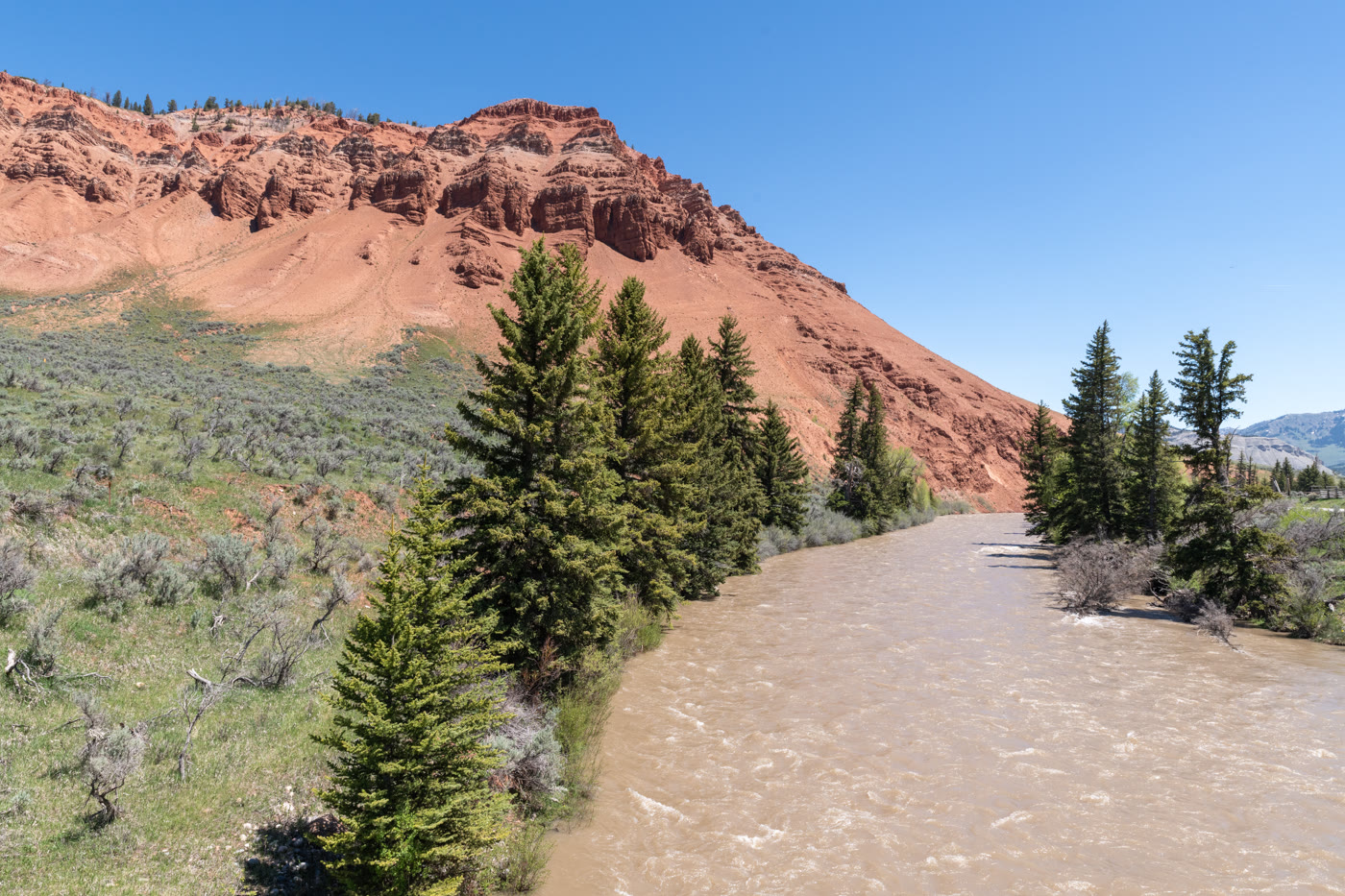 Gros Ventre Red Hills58 miles · WyomingCLXI
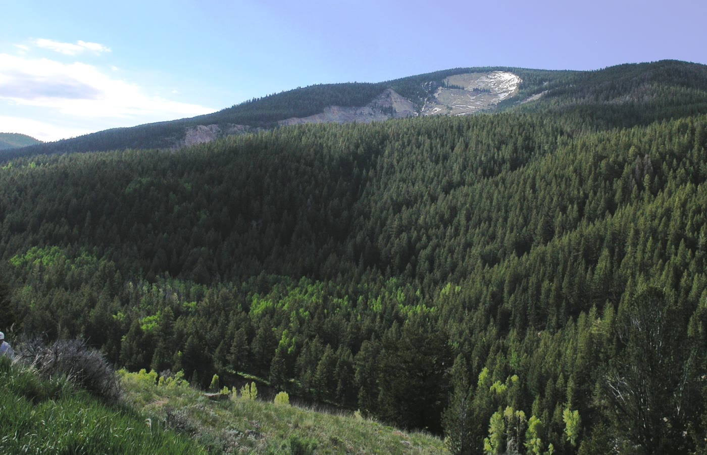 Gros Ventre Slide60 miles · WyomingCLXII
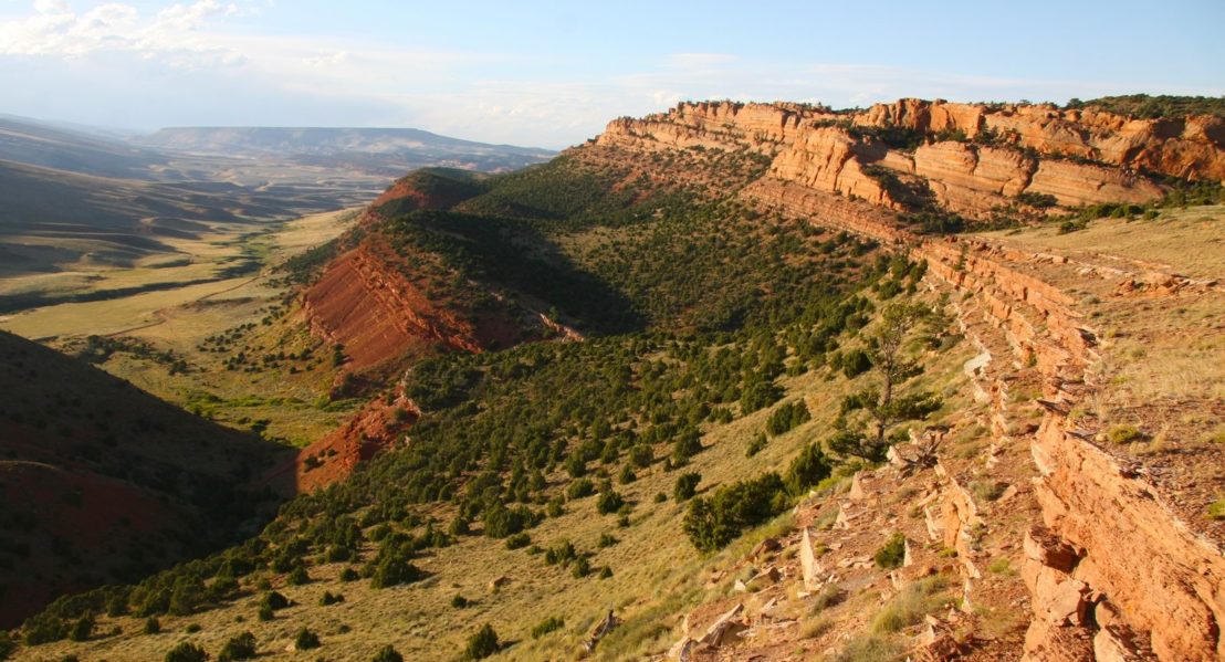 Red Canyon61 miles · WyomingXCVI
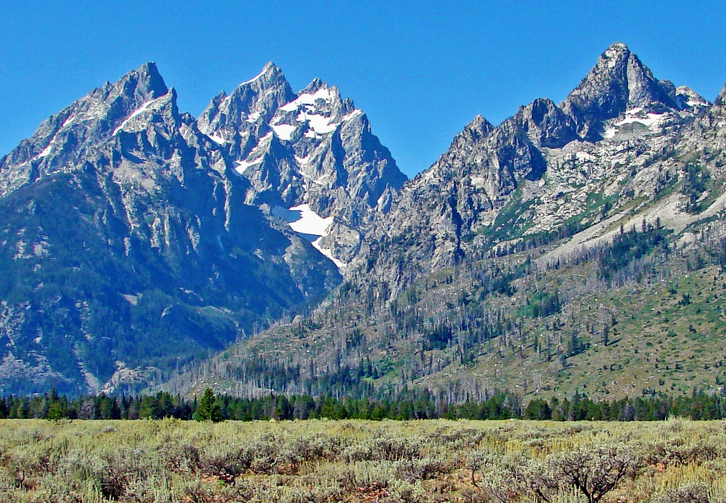 Grand Teton73 miles · WyomingXXXVI
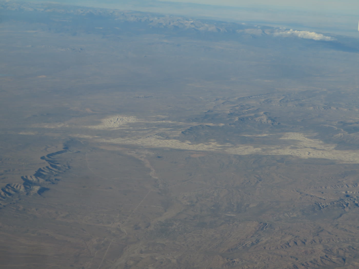 Killpecker Dunes78 miles · WyomingCLXVI
Alpine chapter
Other US alpine plates. See all alpine destinations in the USA
Fold-out