The Field Atlas
0/363High country
Alpine destinations in the USA
Alpine country means the Rockies, Sierras, Cascades, and Alaska ranges where trees thin and stone takes over.
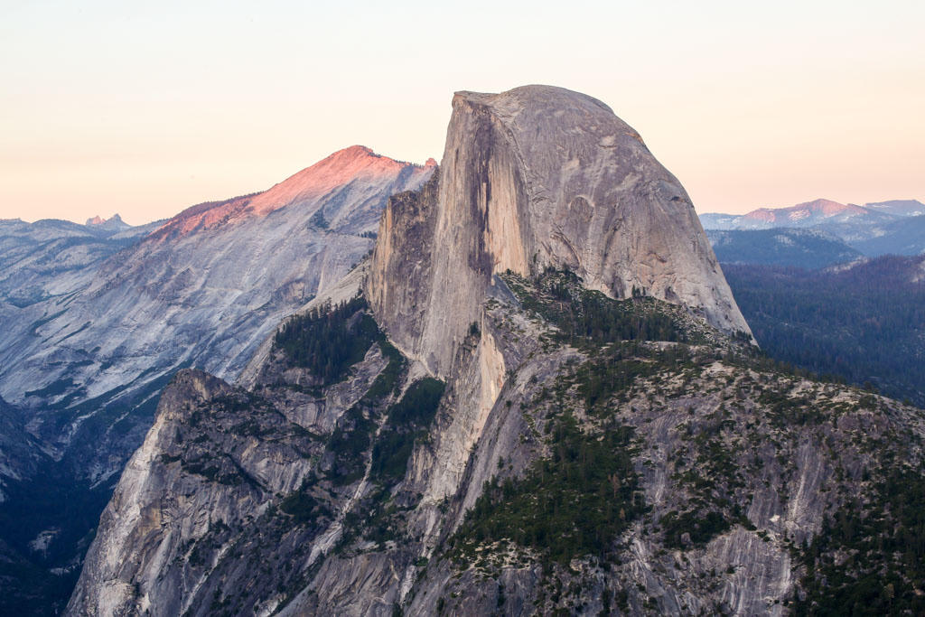
FrontispieceYosemite Valley, California
These plates are mountain travel without a brochure: elevation, aspect, and the note you need before you walk toward the skyline. Larkins Lake and Fourth of July Lake are quieter Idaho water than the famous park cirques. Angel Lake is the East Humboldt tarn, Arc Dome the Toiyabe high point, and Image Lake the Miners Ridge water under Glacier Peak. Holland Lake sits under the Swan Range in Montana; Ice Lake is the turquoise San Juan bowl above Silverton.
- Plates
- 65
- States
- 16
States in this chapter
- Alaska
- Arizona
- California
- California / Nevada
- Colorado
- Idaho
- Montana
- Montana / Wyoming
- Nevada
- New Hampshire
- New Mexico
- New York
- Oregon
- Utah
- Washington
- Wyoming
Alpine chapter
The plates
Plate IXYosemite Valley
alpineSierra Nevada, California
Ice carved a hall of granite and left the water falling.
37.7° N · 119.6° WOpen plate →
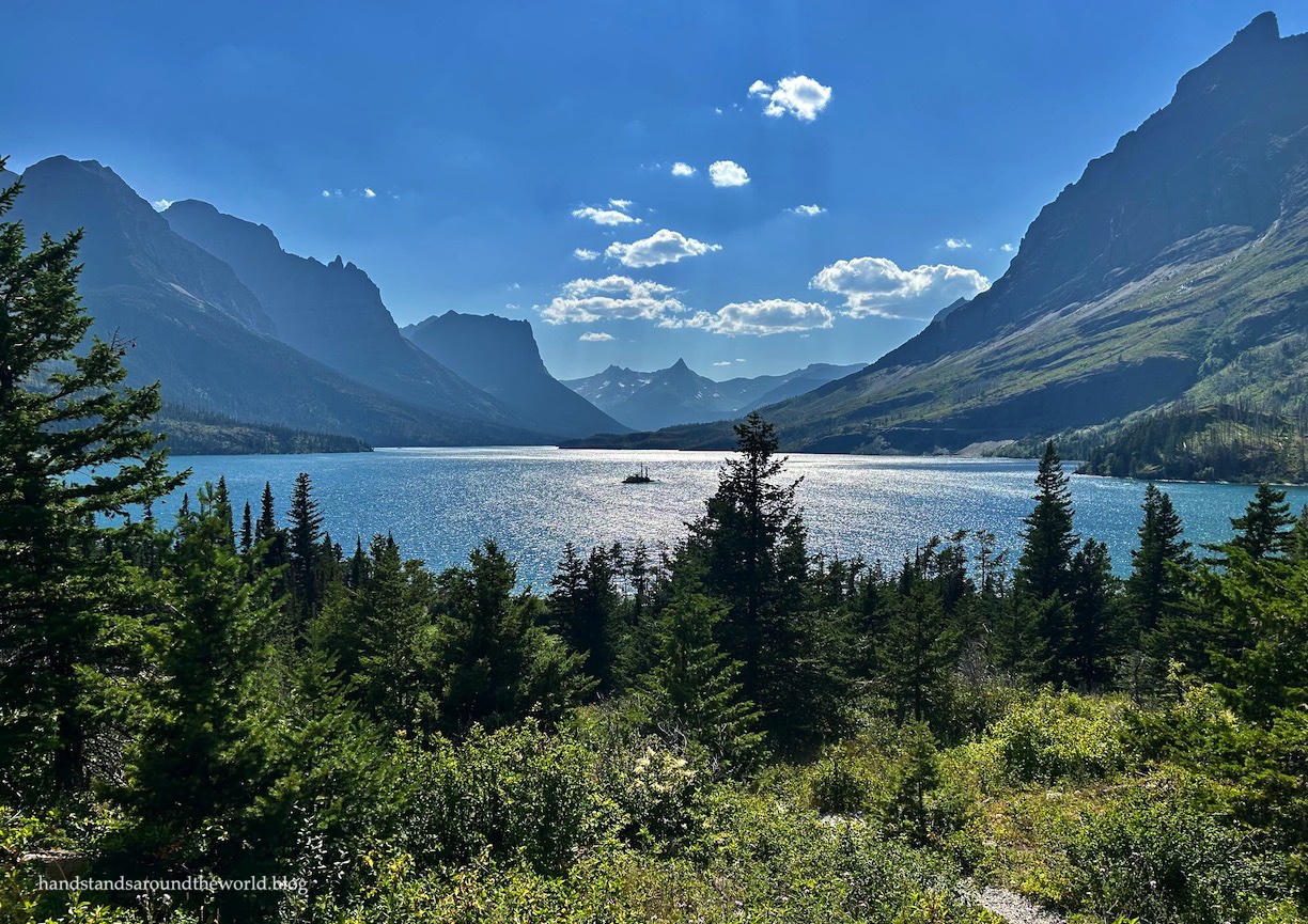 Plate XVII
Glacier Country
alpineGlacier National Park, Montana
A range still wearing the shape of its vanished ice.
48.8° N · 113.8° WOpen plate →
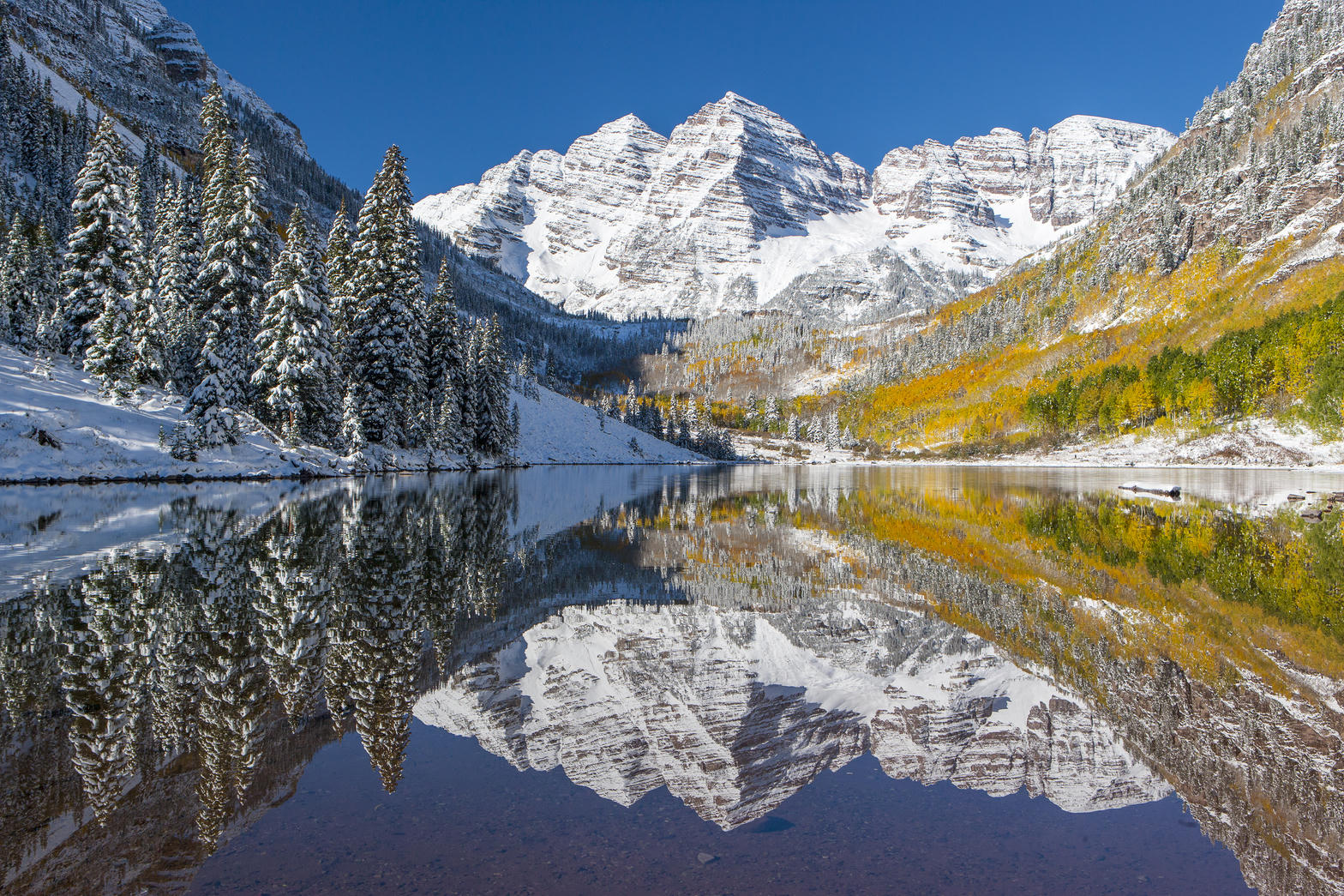 Plate XVIII
Maroon Bells
alpineWhite River National Forest, near Aspen, Colorado
Two matching summits doubled in still water.
39.1° N · 107.0° WOpen plate →
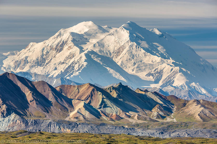 Plate XX
Denali
alpineAlaska Range, Alaska
A mountain so large it makes its own weather.
63.1° N · 151.0° WOpen plate →
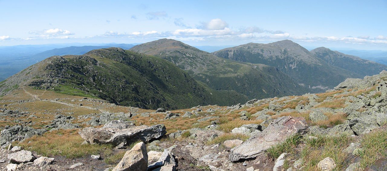 Plate XXV
White Mountains
alpineNorthern Appalachians, New Hampshire
Old mountains with a young, fierce sky.
44.3° N · 71.3° WOpen plate →
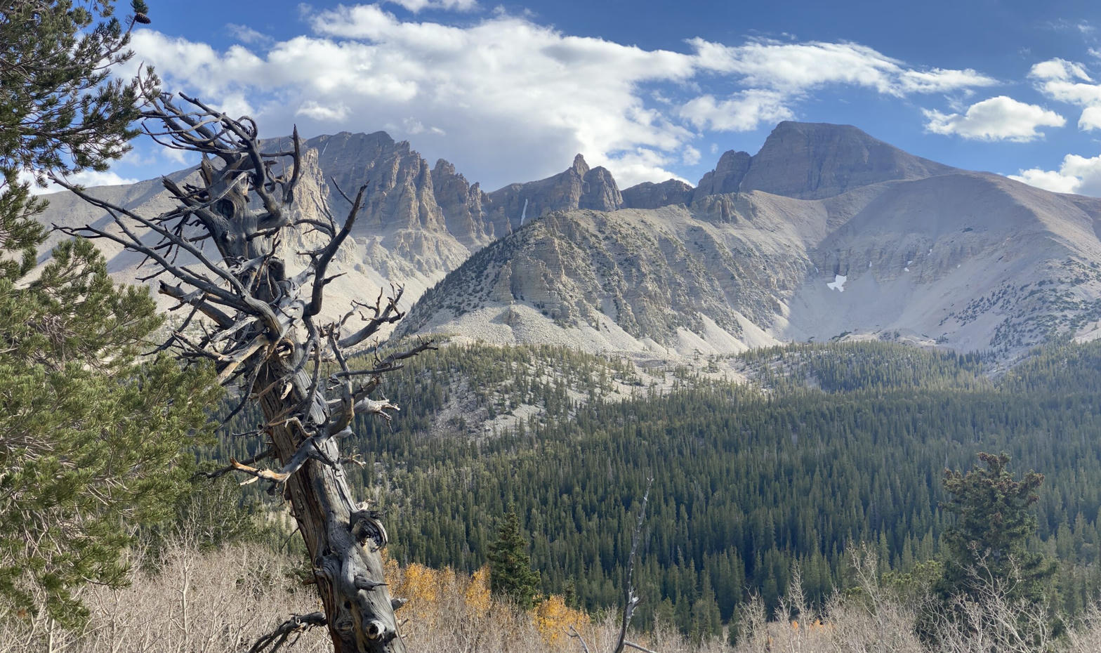 Plate XXXV
Great Basin
alpineSnake Range, near Baker, Nevada
The emptiest national park, and one of the oldest forests.
39.0° N · 114.3° WOpen plate →
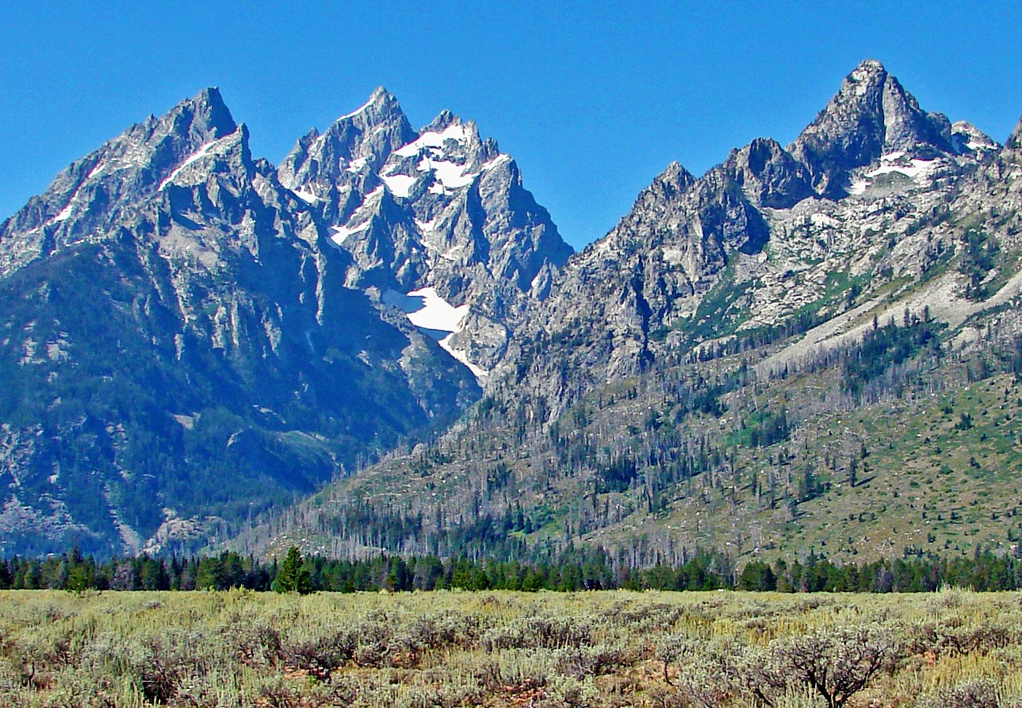 Plate XXXVI
Grand Teton
alpineTeton Range, Jackson Hole, Wyoming
Mountains that begin without asking permission of the valley.
43.8° N · 110.7° WOpen plate →
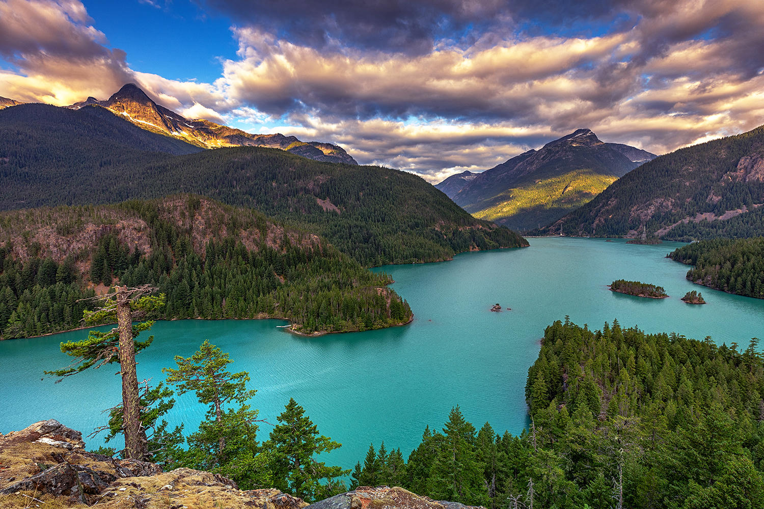 Plate XL
North Cascades
alpineSkagit country, Washington
The American Alps, still mostly empty of roads.
48.8° N · 121.3° WOpen plate →
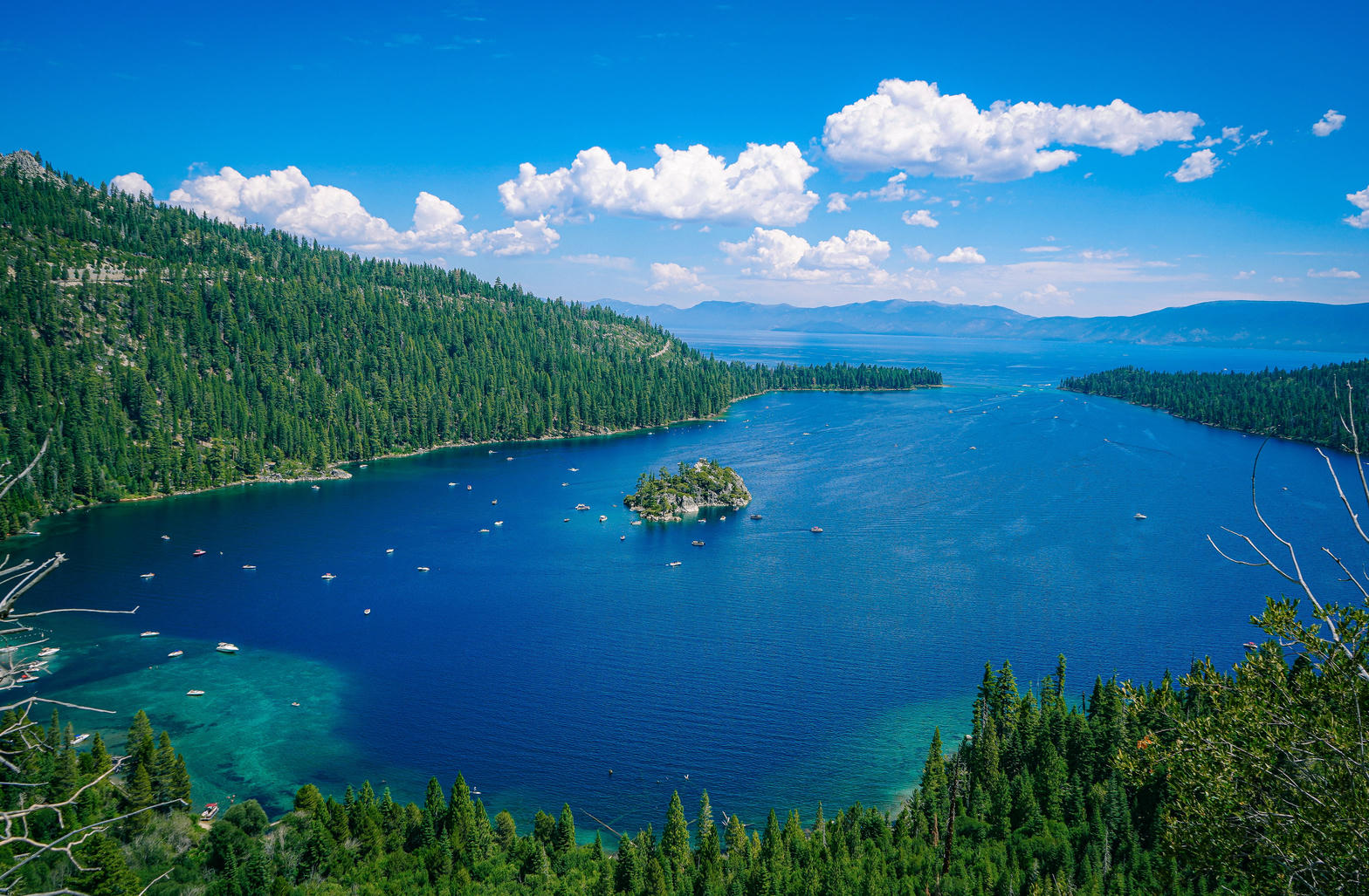 Plate XLI
Lake Tahoe
alpineSierra Nevada / Carson Range, California / Nevada
A high blue bowl the Sierra could not quite drain.
38.9° N · 120.0° WOpen plate →
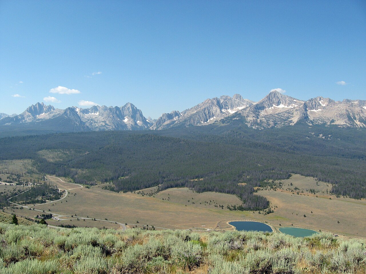 Plate LXXI
The Sawtooths
alpineSawtooth Range, near Stanley, Idaho
A hidden range of teeth above a town of two hundred souls.
44.1° N · 115.0° WOpen plate →
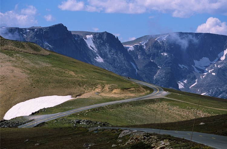 Plate LXXII
Beartooth Pass
alpineBeartooth Highway, Absaroka–Beartooth, Montana / Wyoming
A road that climbs until the trees give up.
45.0° N · 109.5° WOpen plate →
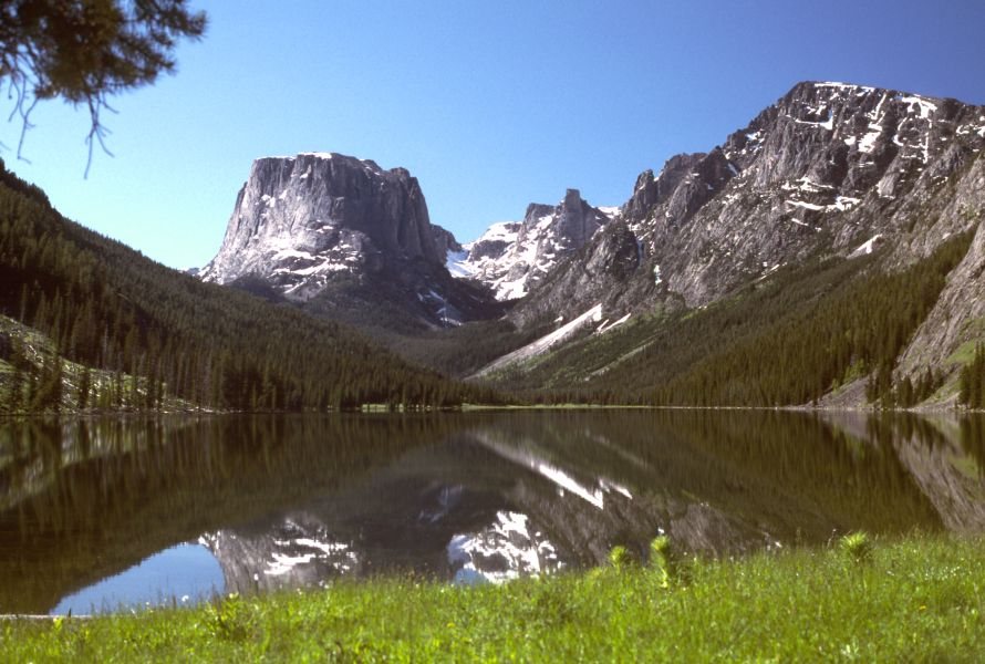 Plate LXXXV
Green River Lakes
alpineWind River Range, Bridger-Teton National Forest, Wyoming
A flat-topped mountain doubled in still water.
43.3° N · 109.9° WOpen plate →
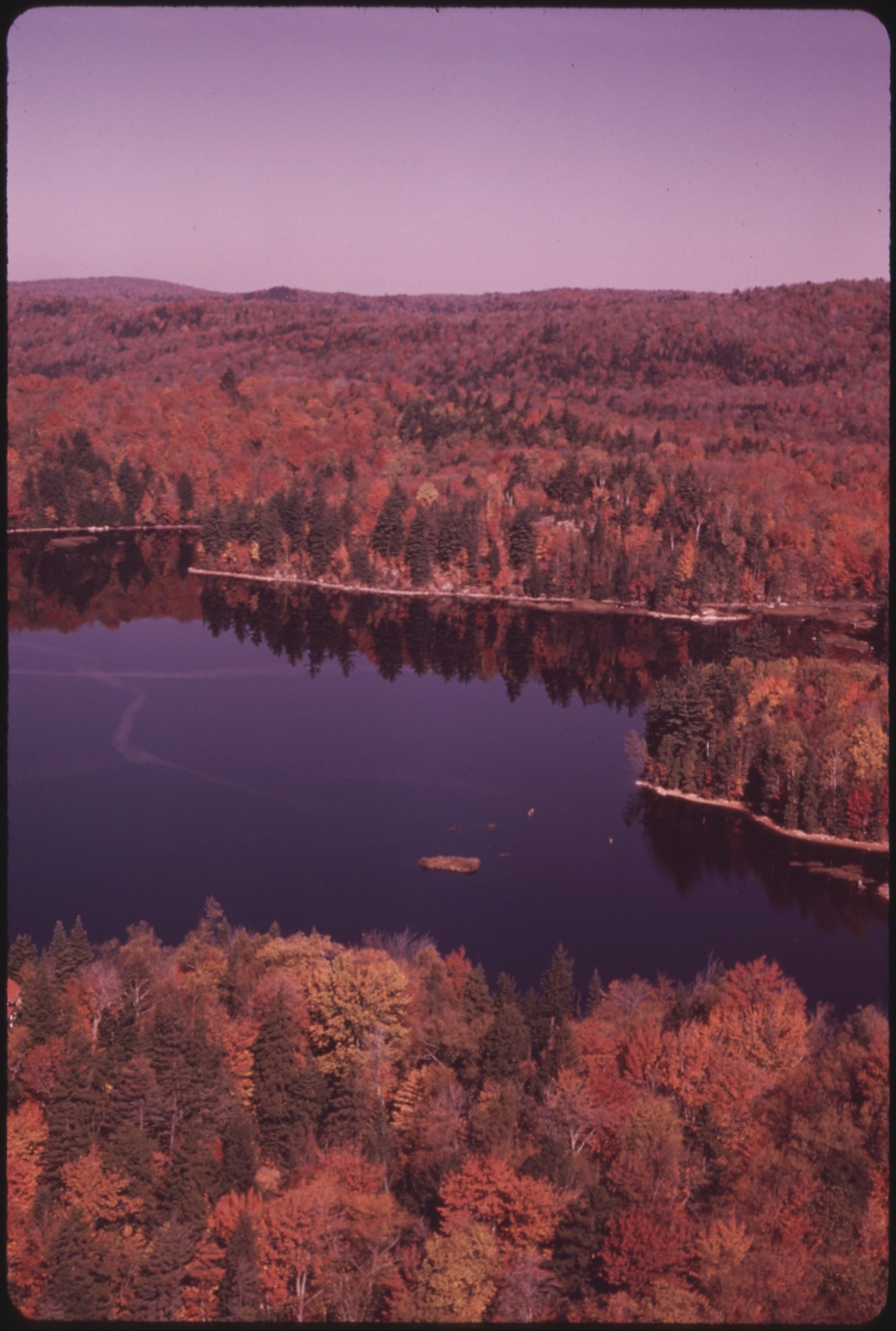 Plate LXXXVIII
Adirondack High Peaks
alpineAdirondack Park, New York
A wilderness the size of a state, wearing a New York address.
44.2° N · 73.9° WOpen plate →
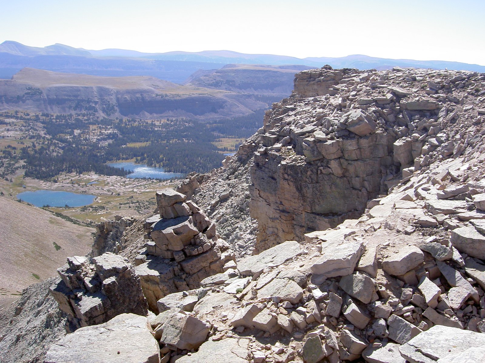 Plate LXXXIX
High Uintas
alpineAshley National Forest, Utah
A range that refused to run north–south.
40.7° N · 110.8° WOpen plate →
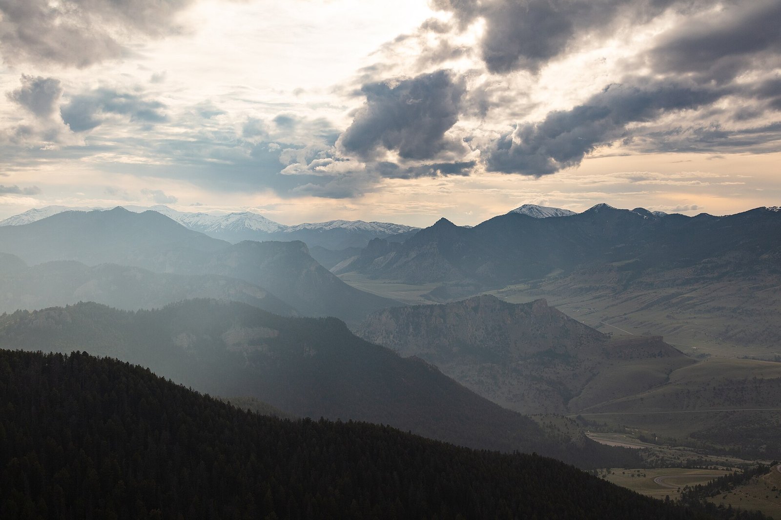 Plate XCIII
Sunlight Basin
alpineAbsaroka Range, north of Cody, Wyoming
A hidden valley the mountains forgot to close.
44.8° N · 109.5° WOpen plate →
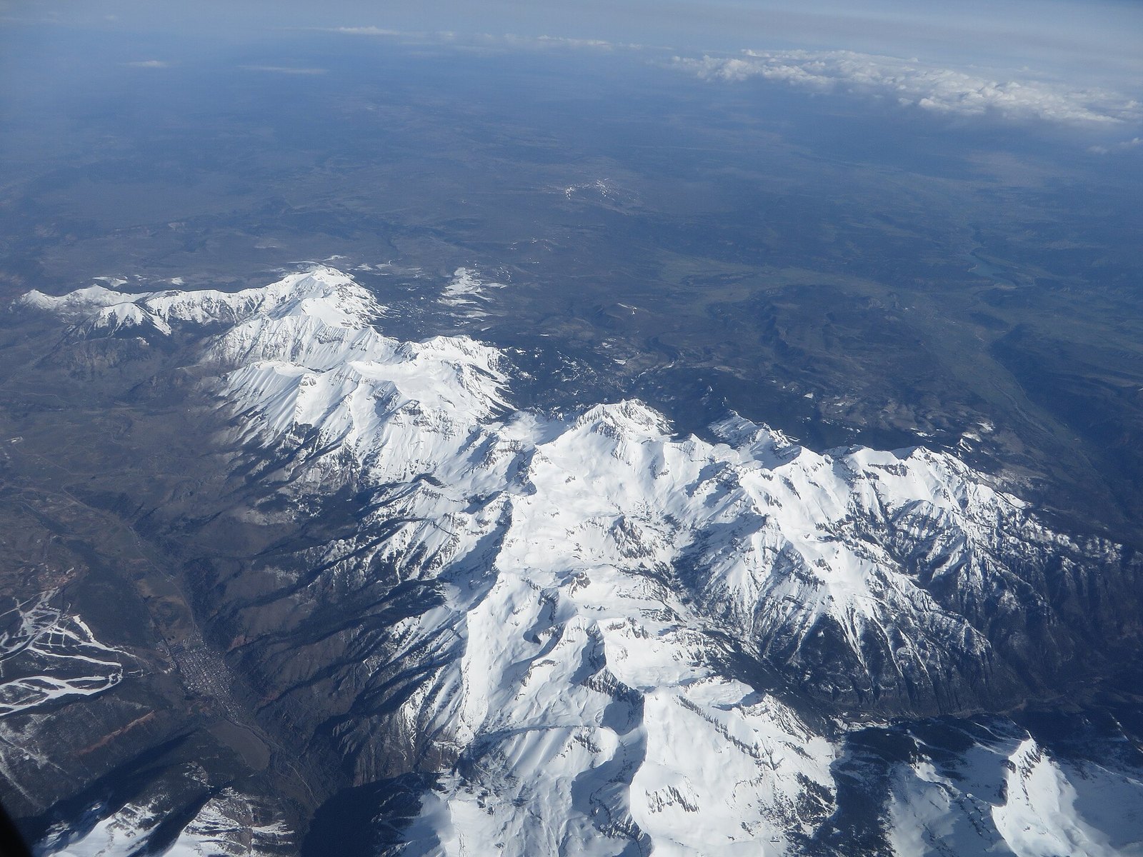 Plate C
Mount Sneffels
alpineSan Juan Mountains, near Ouray, Colorado
A mountain that learned to be a horn.
38.0° N · 107.8° WOpen plate →
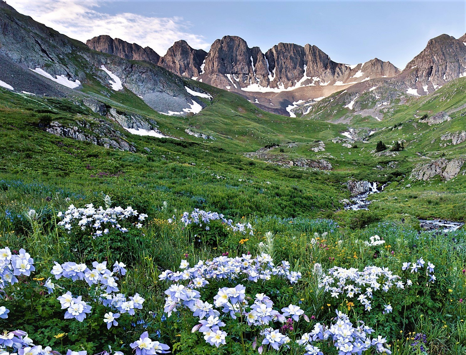 Plate CI
American Basin
alpineHandies Peak, San Juan Mountains, Colorado
A high meadow that blooms like a second sky.
37.9° N · 107.5° WOpen plate →
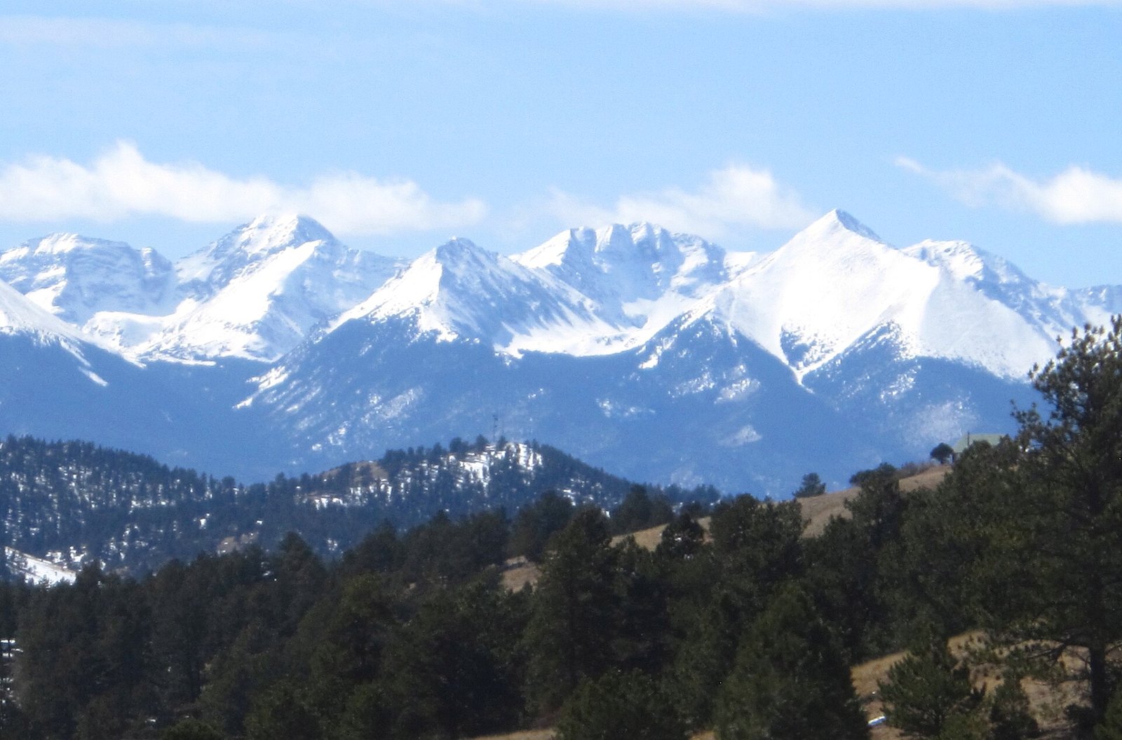 Plate CVII
Sangre de Cristo Range
alpineSan Luis Valley front, Colorado
A range that stands up like a single sentence.
37.6° N · 105.5° WOpen plate →
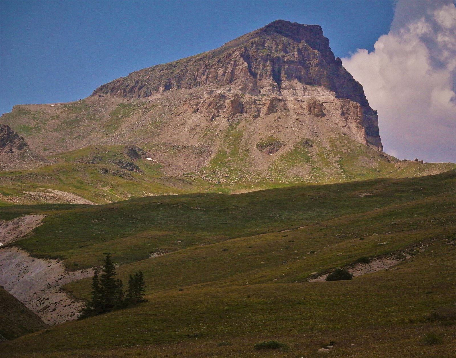 Plate CX
Uncompahgre Peak
alpineSan Juan Mountains, north of Lake City, Colorado
A mountain that chose bulk over a horn.
38.1° N · 107.5° WOpen plate →
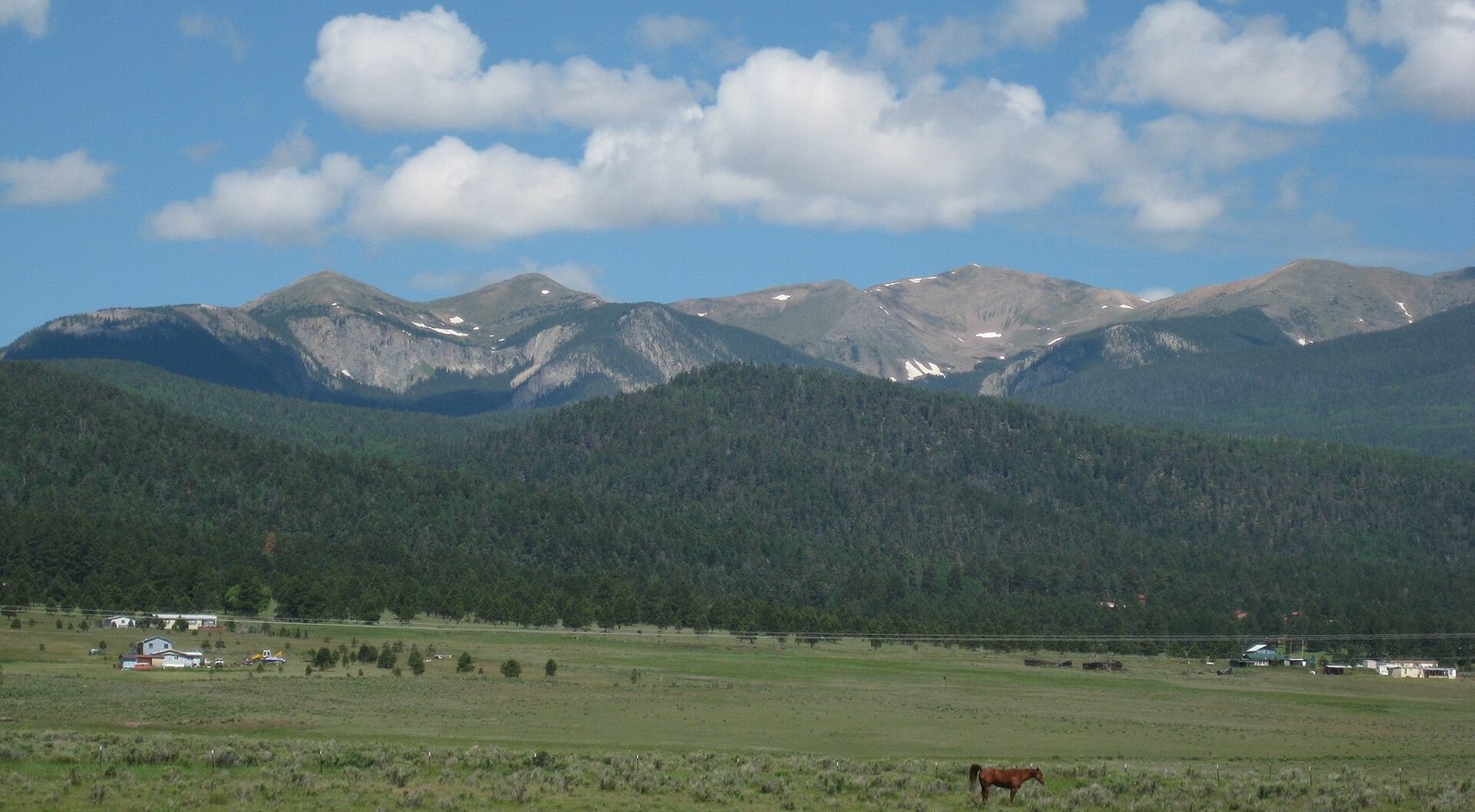 Plate CXXII
Wheeler Peak
alpineSangre de Cristo Range, near Taos, New Mexico
The highest thing in the state, and still quiet.
36.6° N · 105.4° WOpen plate →
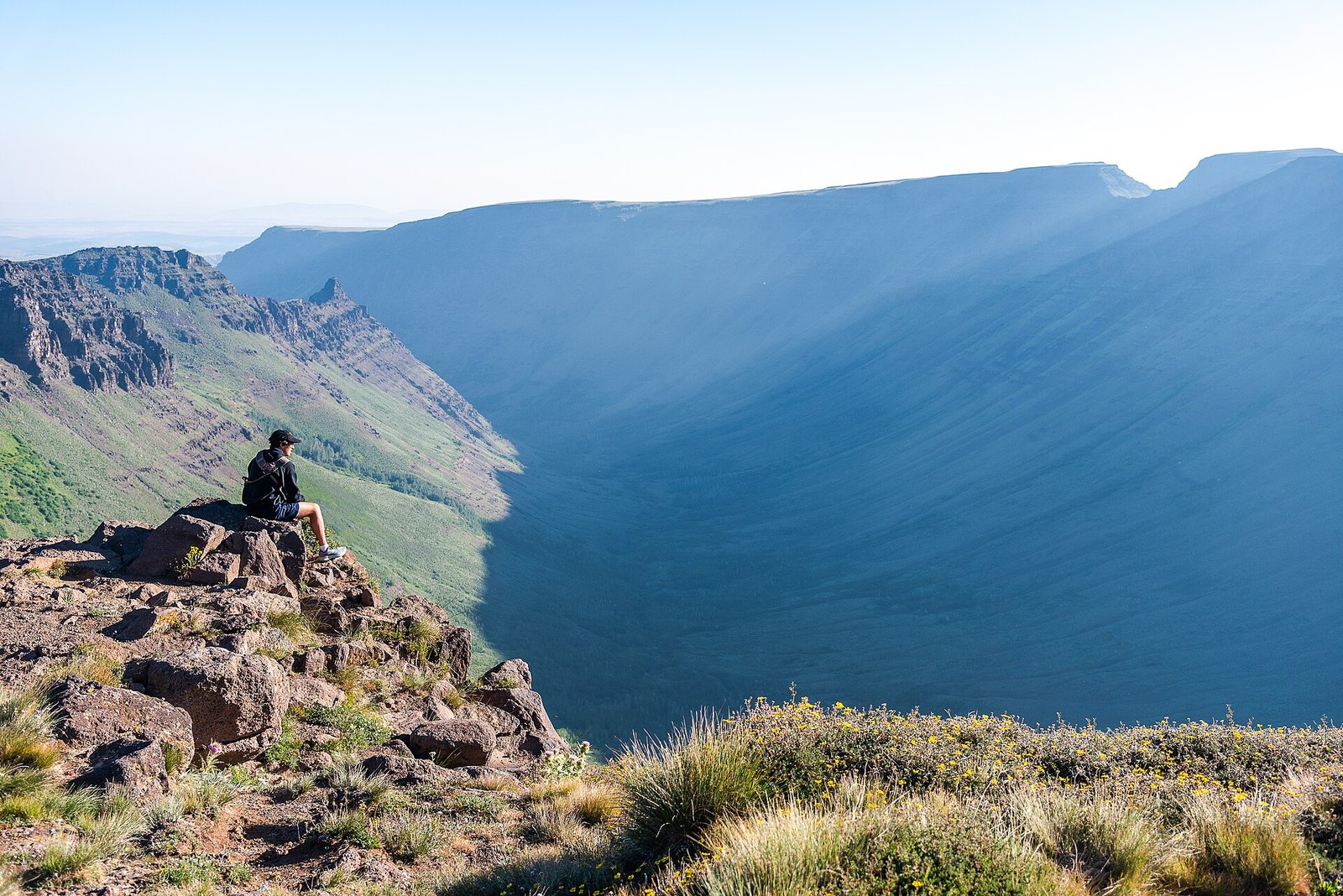 Plate CXXXI
Kiger Gorge
alpineSteens Mountain, Oregon
A gorge a glacier carved into a desert mountain.
42.7° N · 118.6° WOpen plate →
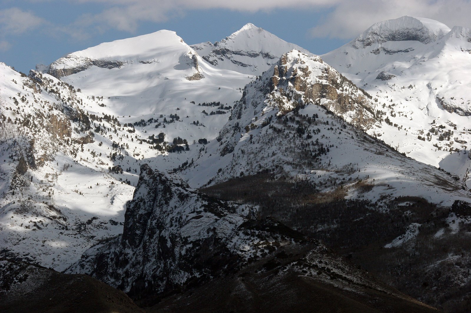 Plate CXXXIV
Ruby Mountains
alpineElko County, Lamoille Canyon, Nevada
An alpine range hiding in a desert state.
40.6° N · 115.5° WOpen plate →
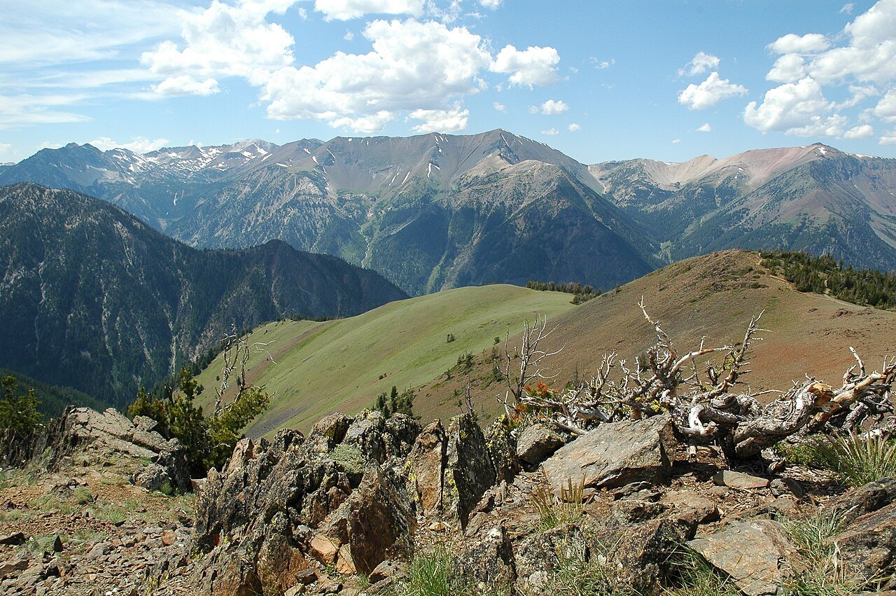 Plate CXLIII
Wallowa Mountains
alpineEagle Cap Wilderness, Wallowa County, Oregon
A granite range the Cascades do not own.
45.3° N · 117.2° WOpen plate →
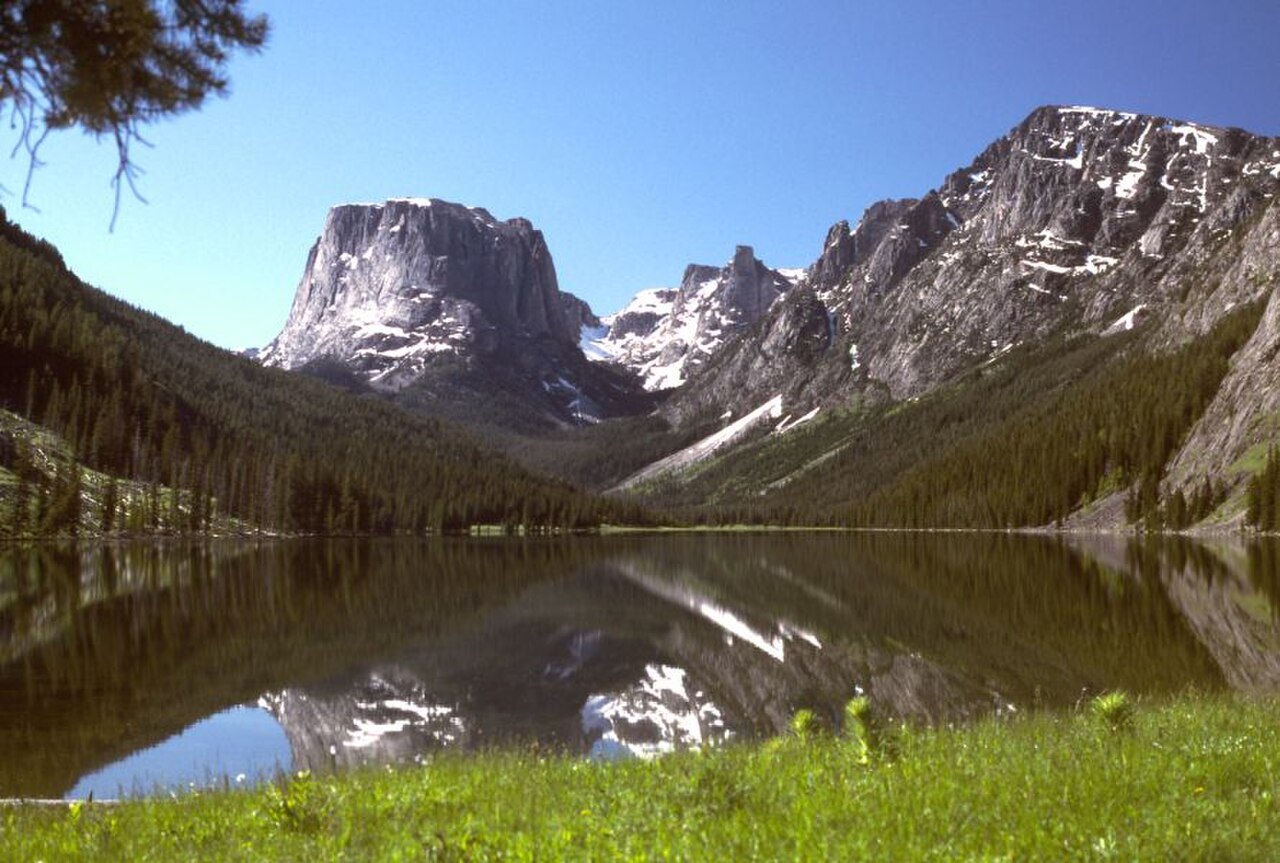 Plate CL
Cirque of the Towers
alpineWind River Range, Bridger Wilderness, Wyoming
A ring of towers around a lake that earned its name.
42.8° N · 109.2° WOpen plate →
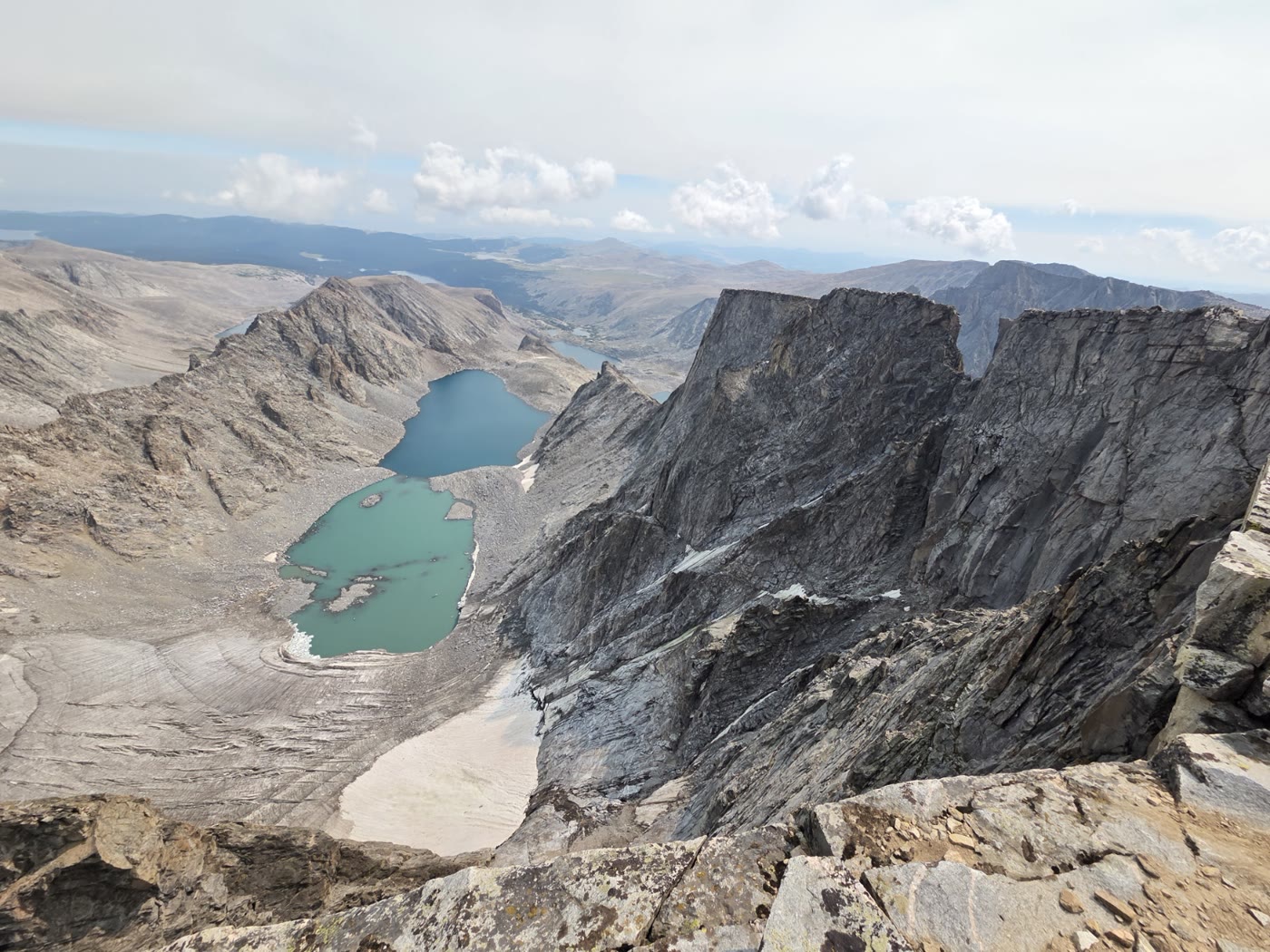 Plate CLVIII
Cloud Peak
alpineBighorn Mountains, Wyoming
The high roof of the Bighorns.
44.4° N · 107.2° WOpen plate →
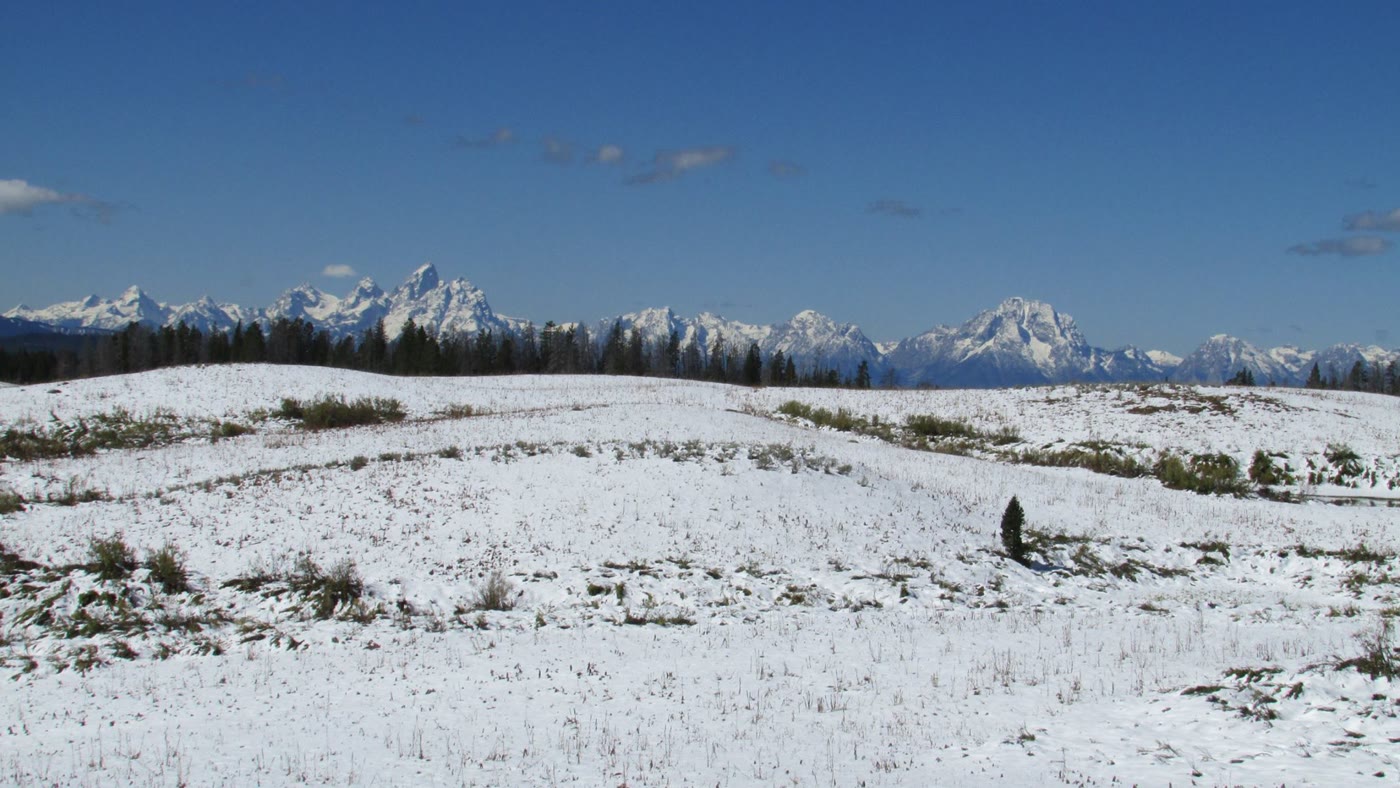 Plate CLXIII
Togwotee Pass
alpineContinental Divide, east of Grand Teton, Wyoming
The east door that first shows the Tetons.
43.8° N · 110.1° WOpen plate →
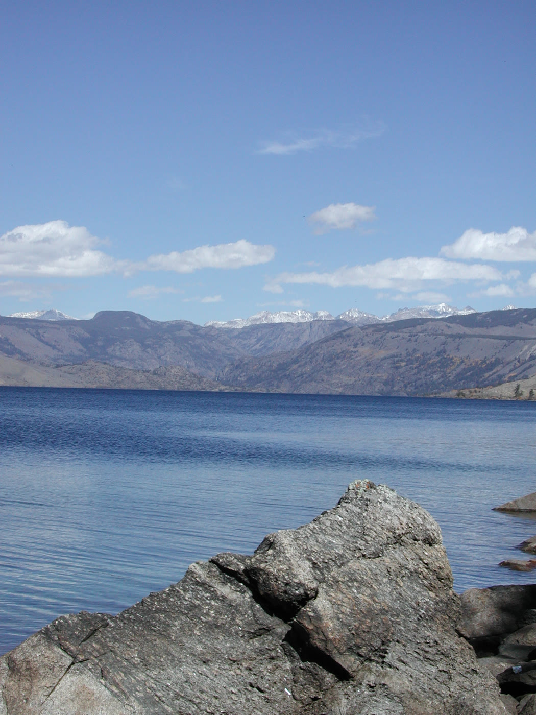 Plate CLXIV
Fremont Lake
alpinenear Pinedale, Wind River Range, Wyoming
A cold lake the glaciers left at the door.
43.0° N · 109.8° WOpen plate →
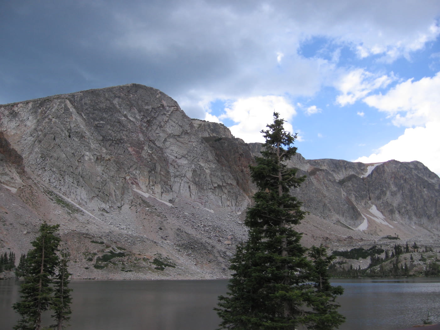 Plate CLXVII
Medicine Bow
alpineSnowy Range, Lake Marie, Wyoming
A granite lake the storms keep rewriting.
41.4° N · 106.3° WOpen plate →
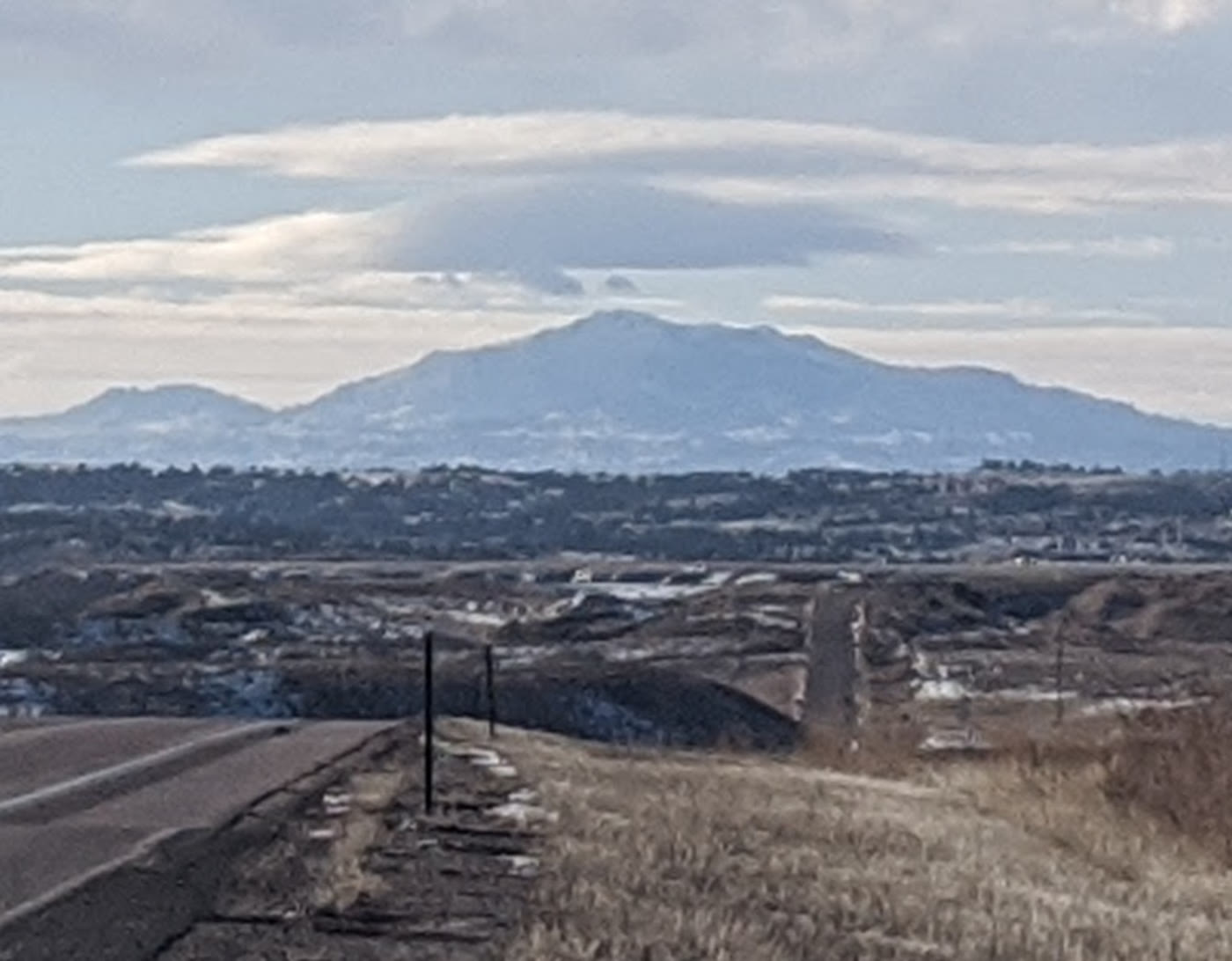 Plate CLXIX
Laramie Peak
alpineLaramie Range, Wyoming
The mountain the plains use as a compass.
42.3° N · 105.4° WOpen plate →
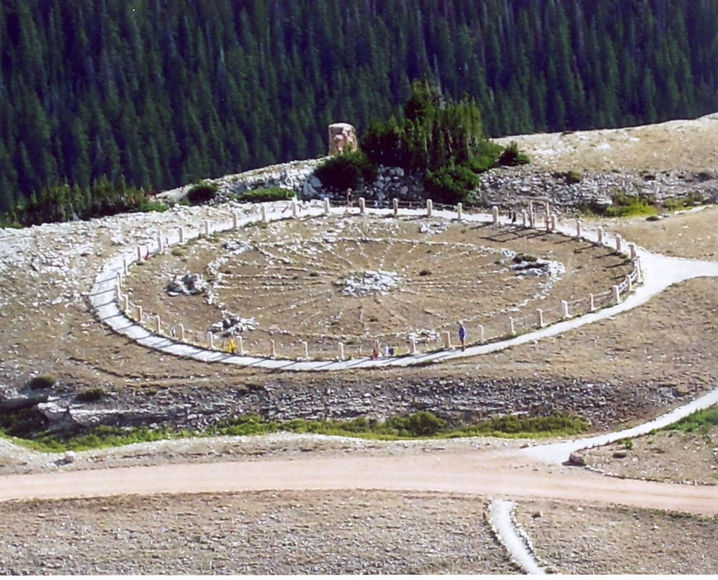 Plate CLXX
Medicine Wheel
alpineMedicine Mountain National Historic Landmark, Wyoming
A stone circle still in use on the mountain.
44.8° N · 107.9° WOpen plate →
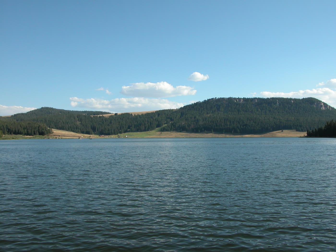 Plate CLXXI
Meadowlark Lake
alpineCloud Peak Skyway, US-16, Wyoming
A high lake the skyway leans toward.
44.2° N · 107.2° WOpen plate →
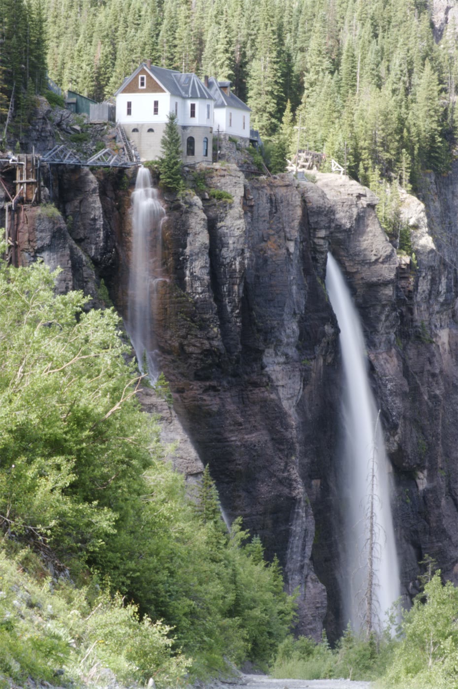 Plate CLXXVI
Bridal Veil Falls
alpinehead of the box canyon, Telluride, Colorado
A white thread the canyon kept for a last wall.
37.9° N · 107.8° WOpen plate →
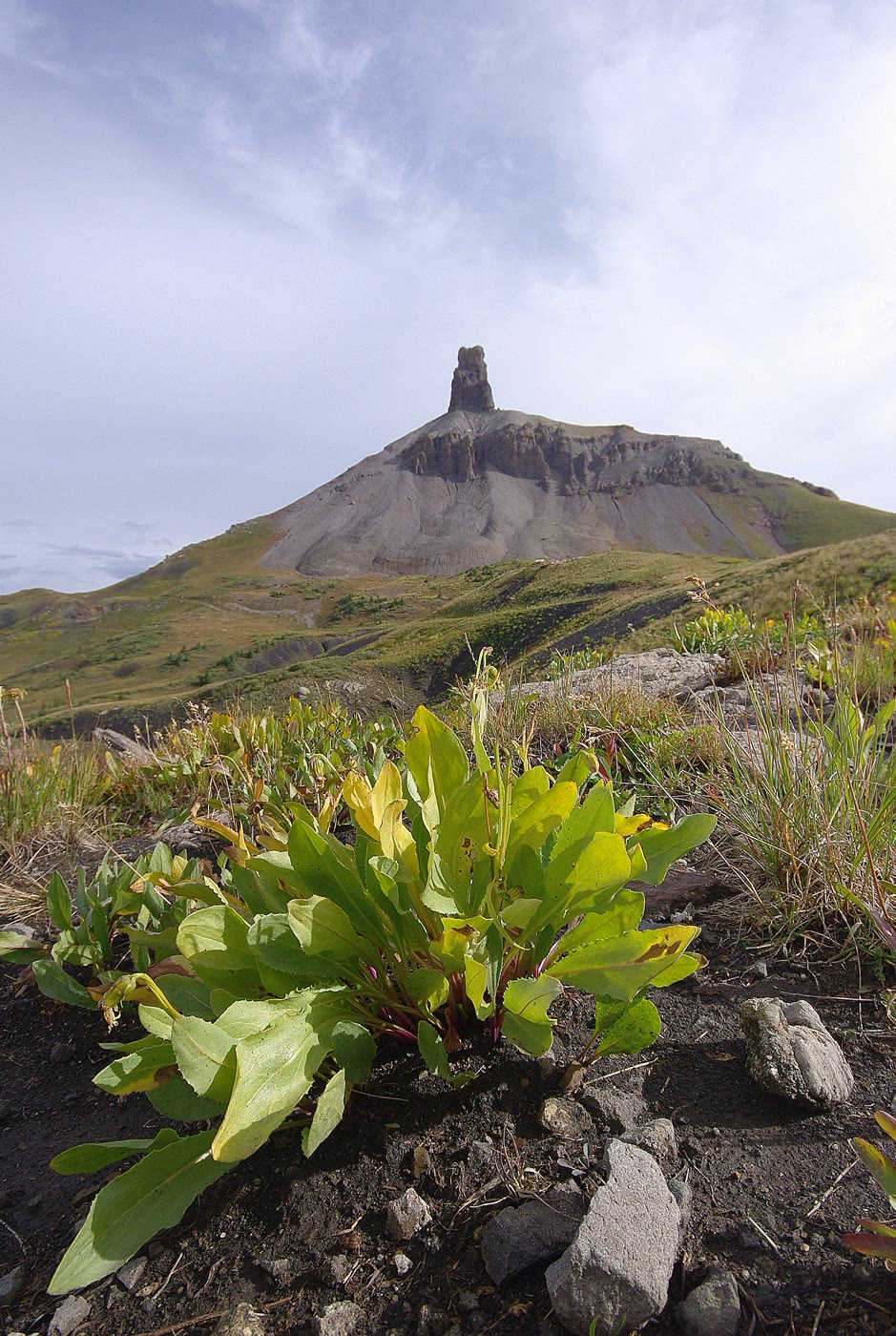 Plate CLXXVII
Lizard Head
alpineSan Juan Mountains, above Lizard Head Pass, Colorado
A tooth the volcano left standing.
37.8° N · 108.0° WOpen plate →
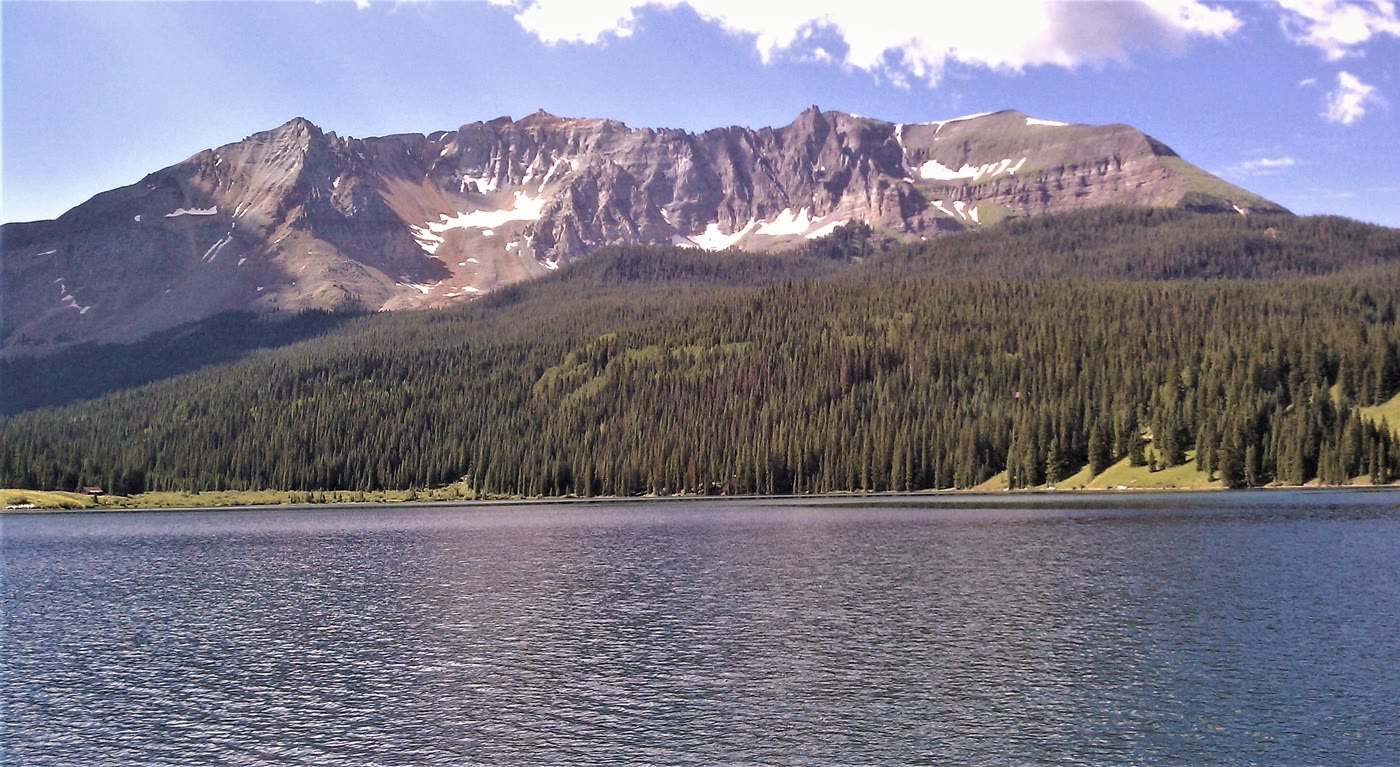 Plate CLXXVIII
Trout Lake
alpinenear Lizard Head Pass, Colorado
Sheep Mountain held in still water.
37.8° N · 107.9° WOpen plate →
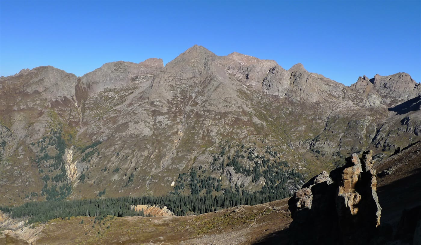 Plate CLXXIX
Chicago Basin
alpineNeedle Mountains, Weminuche Wilderness, Colorado
A granite room the Needles kept.
37.6° N · 107.6° WOpen plate →
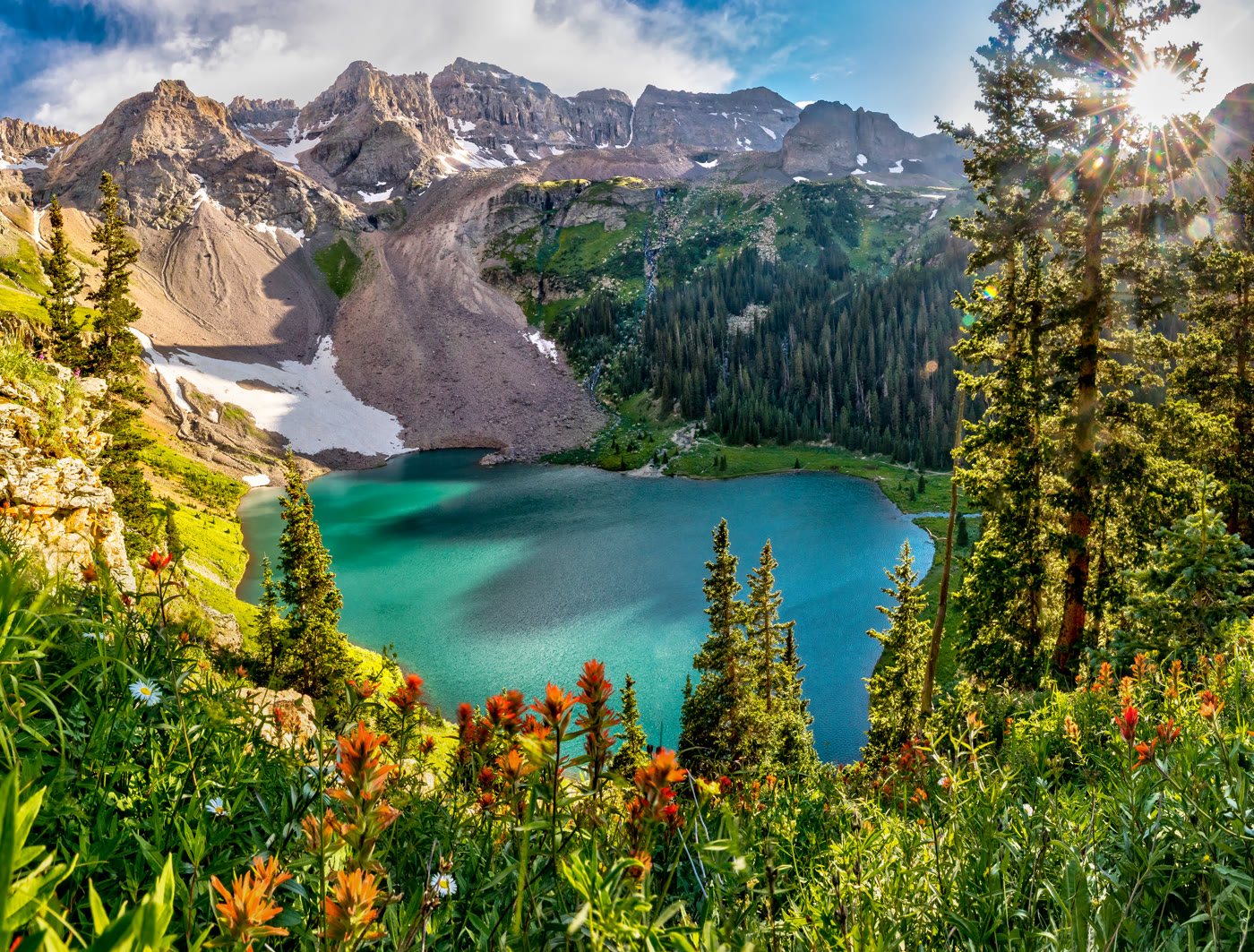 Plate CLXXX
Blue Lakes
alpinebelow Mount Sneffels, Dallas Peak wall, Colorado
Turquoise water the cirque kept.
38.0° N · 107.8° WOpen plate →
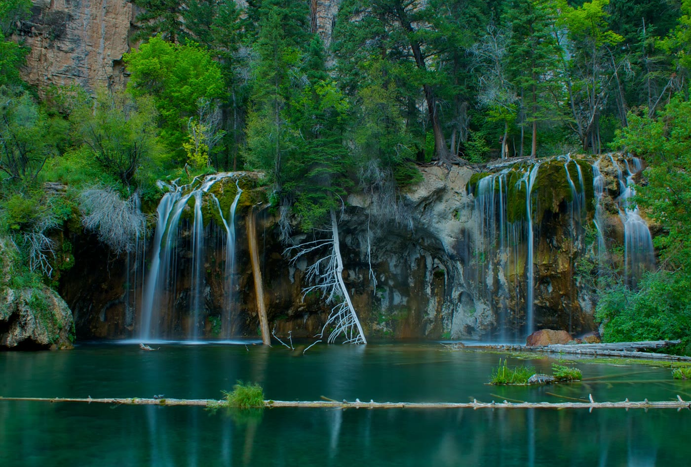 Plate CLXXXV
Hanging Lake
alpineGlenwood Canyon, Colorado
A green bowl the canyon hid on a shelf.
39.6° N · 107.2° WOpen plate →
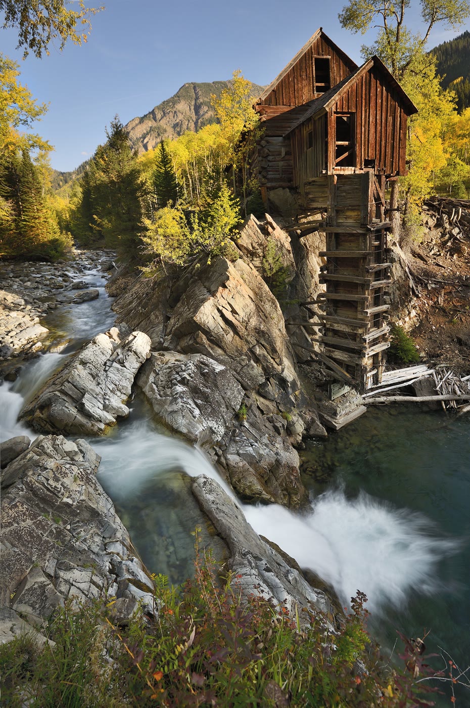 Plate CLXXXVI
Crystal Mill
alpineCrystal, on the Crystal River, Colorado
A wooden house the river kept on a rock.
39.1° N · 107.1° WOpen plate →
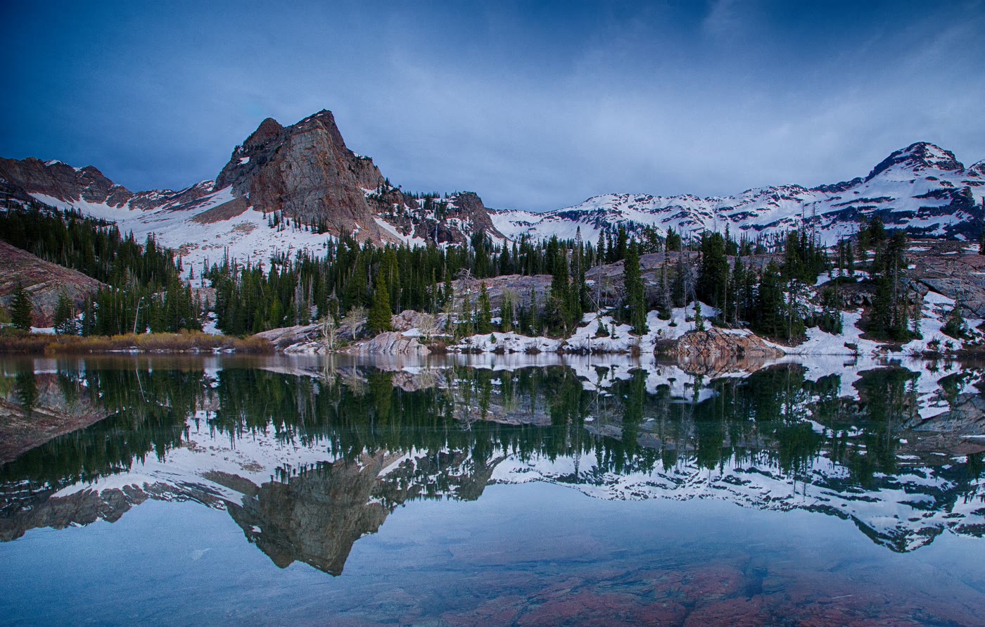 Plate CXCVIII
Lake Blanche
alpineTwin Peaks Wilderness, Big Cottonwood Canyon, Utah
Sundial held in a still bowl.
40.6° N · 111.7° WOpen plate →
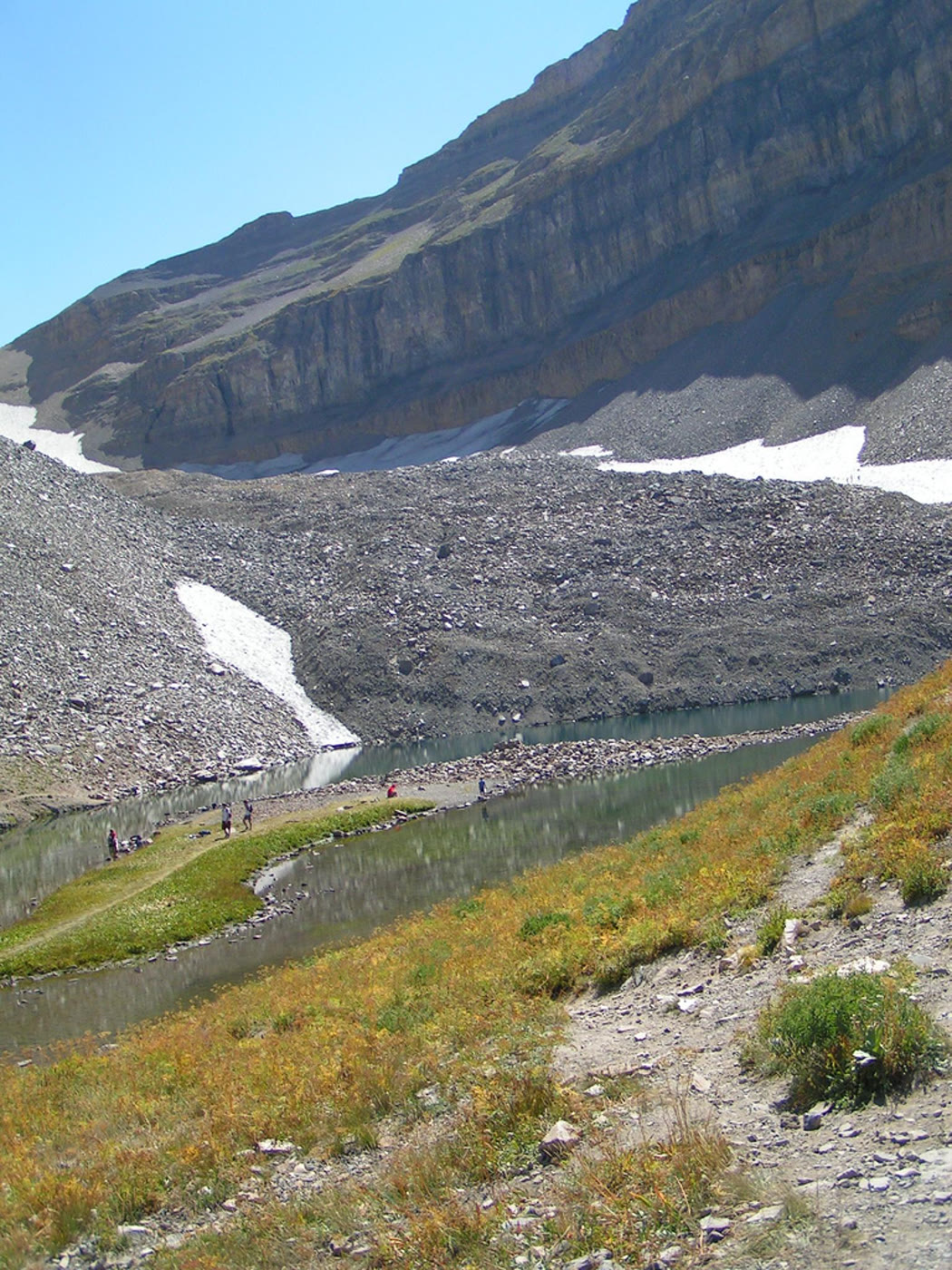 Plate CC
Emerald Lake
alpineTimpanogos Basin, Utah
A green bowl under the Timp wall.
40.4° N · 111.7° WOpen plate →
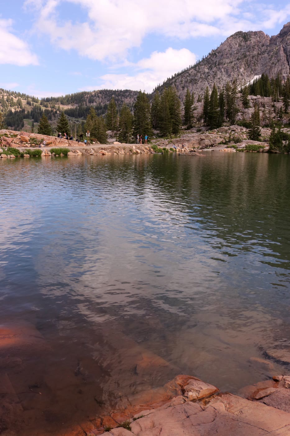 Plate CCI
Cecret Lake
alpineAlbion Basin, Utah
A secret the basin spelled its own way.
40.6° N · 111.6° WOpen plate →
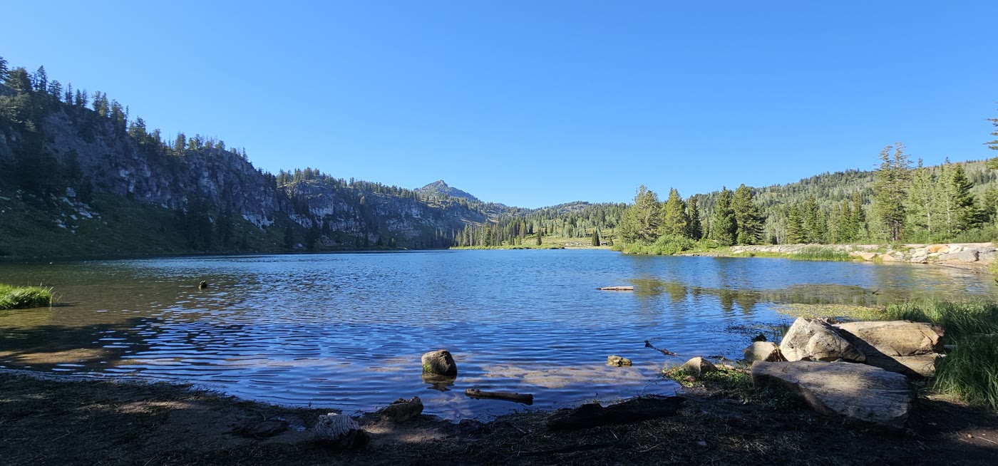 Plate CCII
Tony Grove Lake
alpineBear River Range, Utah
Limestone over a still northern lake.
41.9° N · 111.6° WOpen plate →
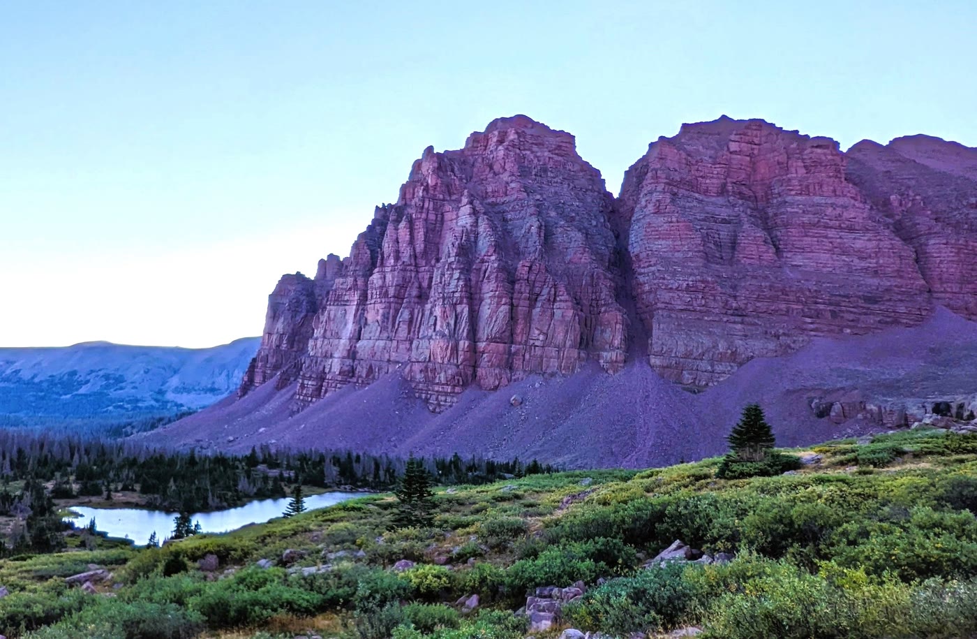 Plate CCIII
Red Castle
alpineHigh Uintas Wilderness, Utah
A quartzite keep above its own lake.
40.8° N · 110.5° WOpen plate →
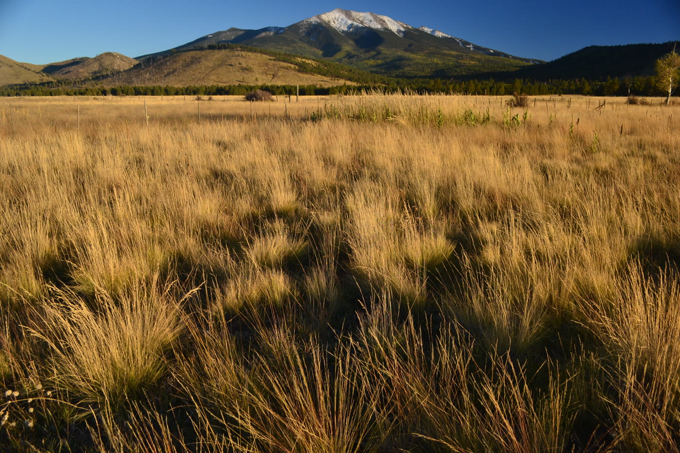 Plate CCXXXVII
Humphreys Peak
alpineSan Francisco Peaks, Arizona
The state’s high roof, still wearing snow.
35.3° N · 111.7° WOpen plate →
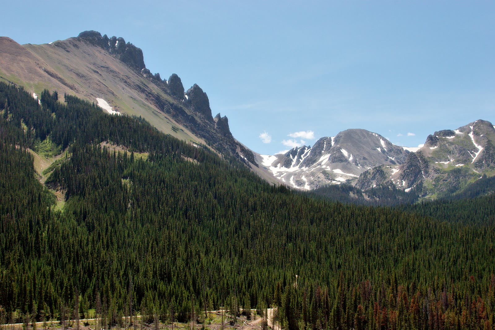 Plate CCLXXIV
State Forest State Park
alpineNokhu Crags, Never Summer Range, Colorado
The crags Rocky Mountain Park looks at and does not keep.
40.7° N · 106.0° WOpen plate →
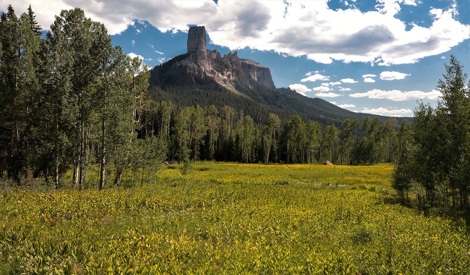 Plate CCLXXX
Silver Jack
alpineCimarron Ridge, Uncompahgre NF, Colorado
A reservoir the Cimarron walls still keep.
38.2° N · 107.5° WOpen plate →
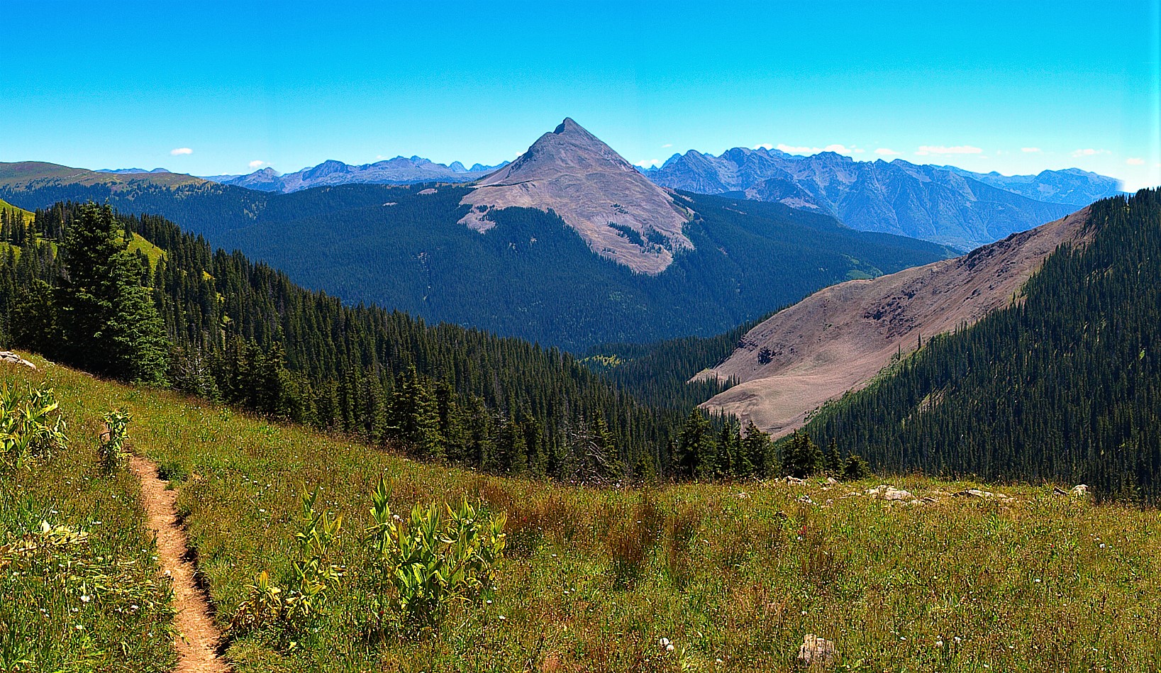 Plate CCLXXXI
Columbine
alpineColumbine high country, San Juan NF, Colorado
A red-banded horn the Columbine forest still looks at.
37.7° N · 107.8° WOpen plate →
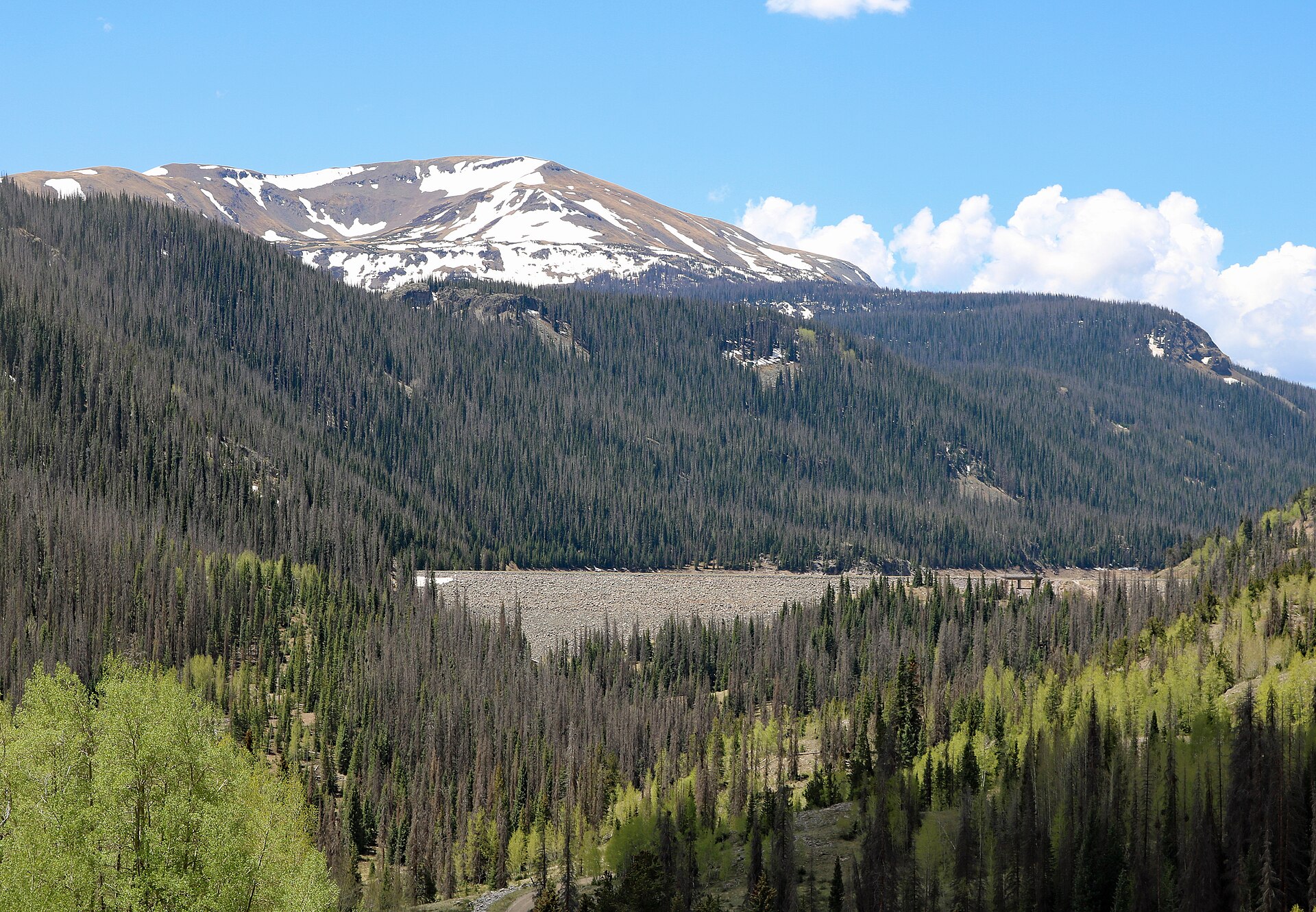 Plate CCLXXXII
Platoro
alpineConejos River, Rio Grande high country, Colorado
A reservoir the Conejos walls still keep.
37.4° N · 106.5° WOpen plate →
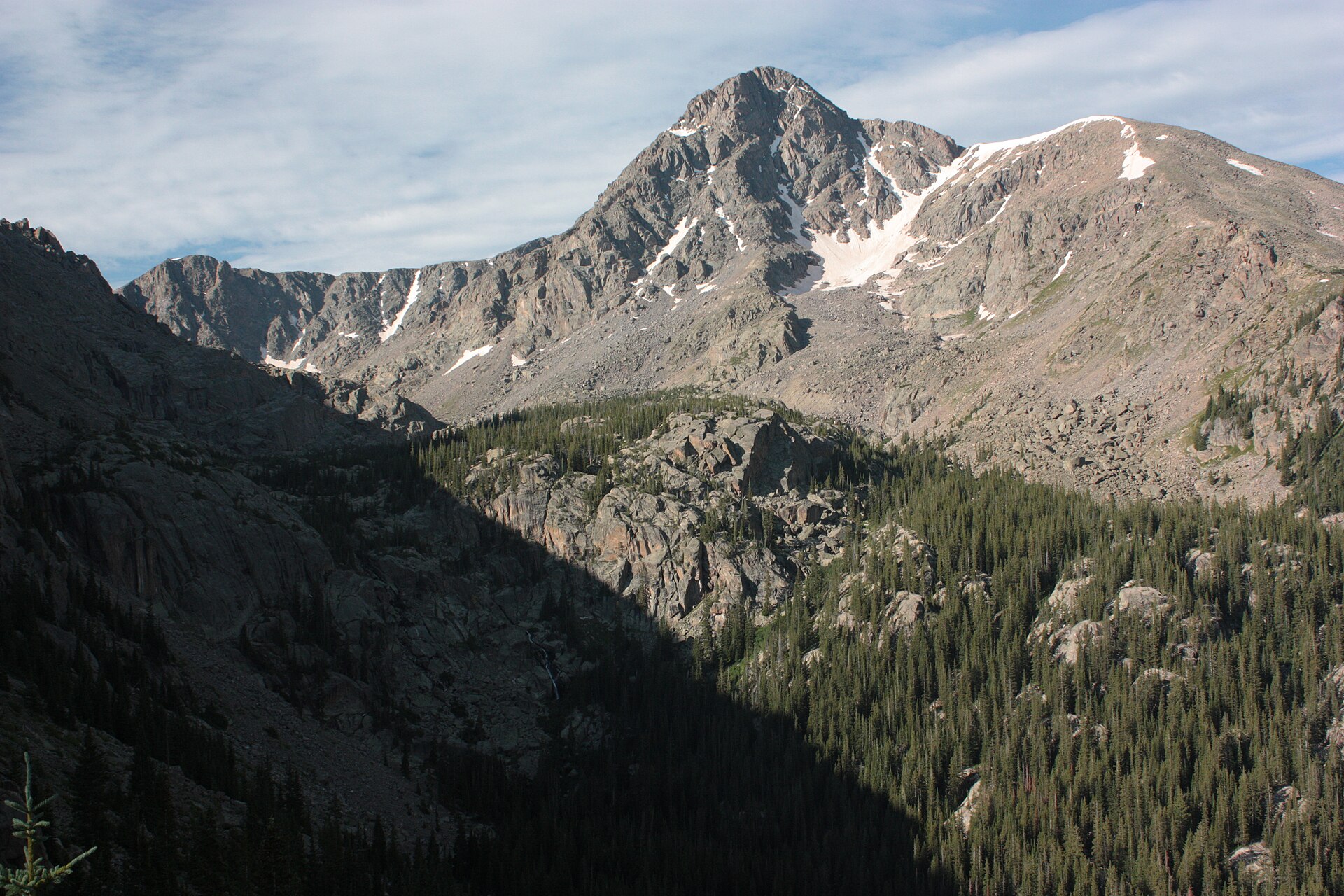 Plate CCLXXXIII
Holy Cross
alpineHoly Cross Wilderness, White River NF, Colorado
A cross of snow the wilderness still keeps.
39.5° N · 106.5° WOpen plate →
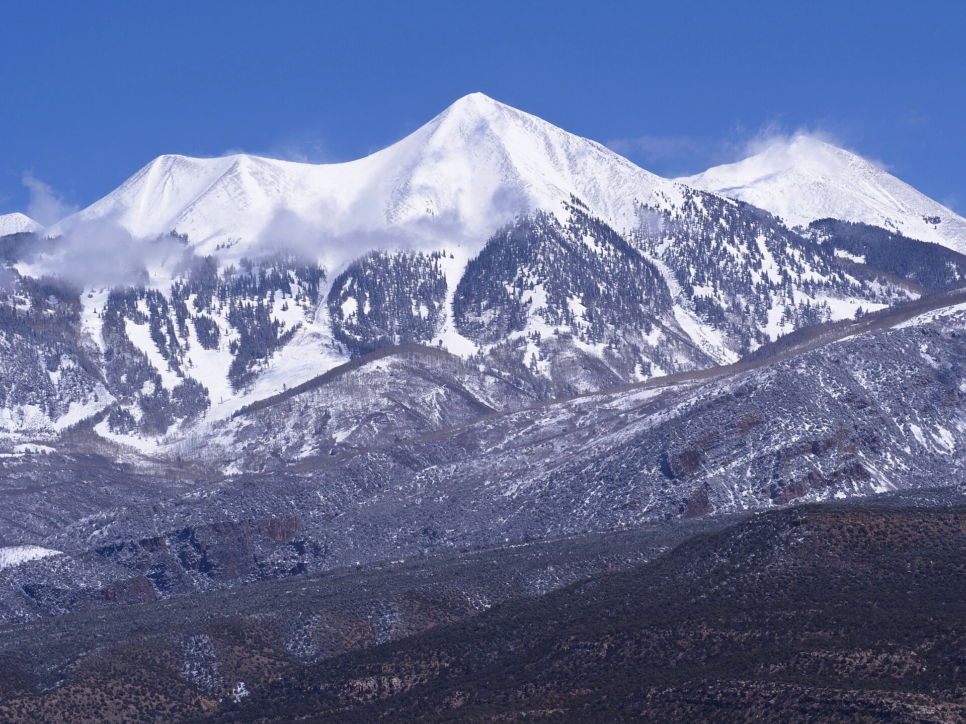 Plate CCLXXXIV
La Sal Mountains
alpineManti-La Sal NF, southeast of Moab, Utah
Snow peaks standing out of a desert sea.
38.4° N · 109.2° WOpen plate →
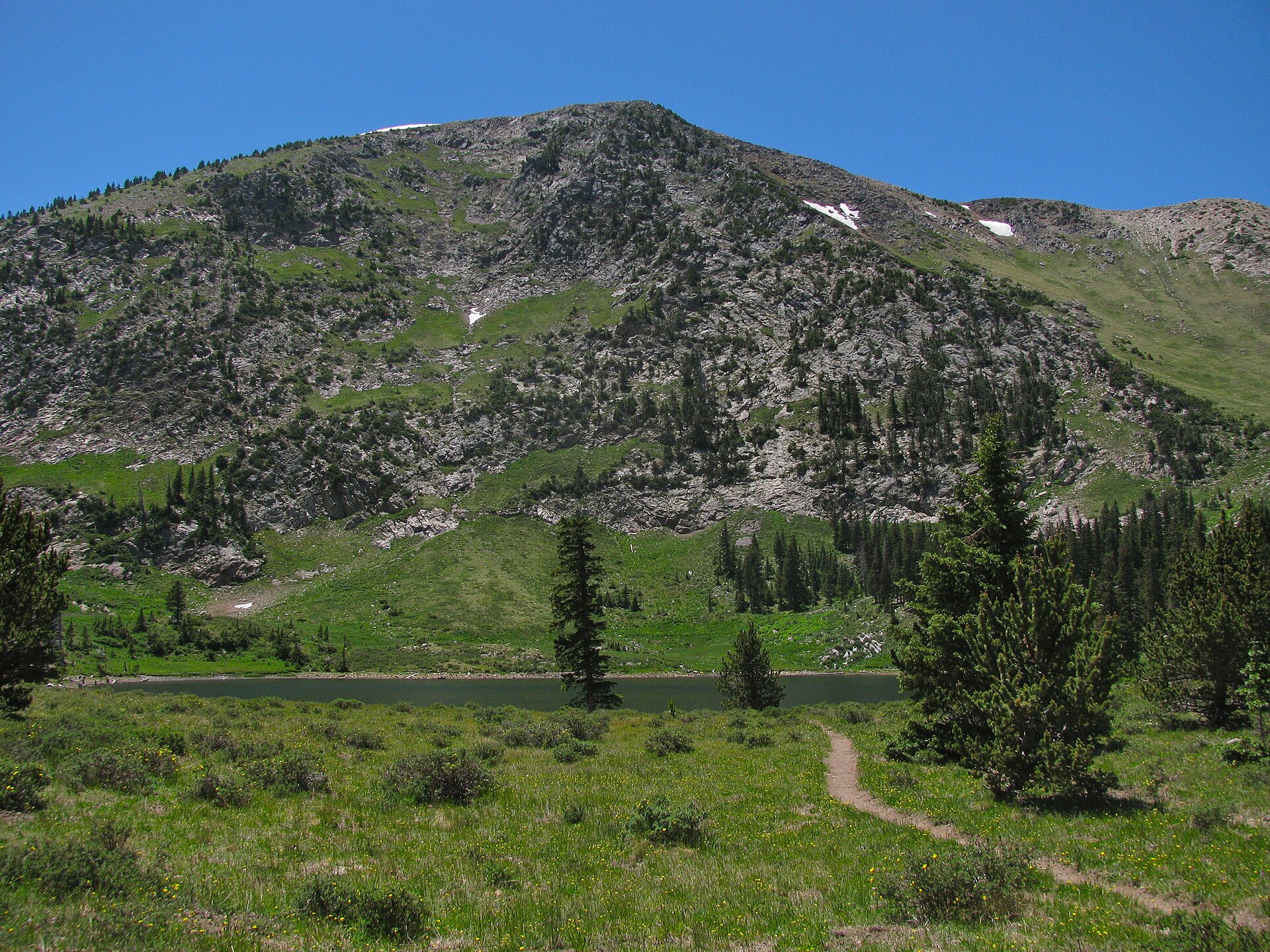 Plate CCLXXXV
Pecos Wilderness
alpineTruchas country, Santa Fe NF, New Mexico
A lake the Pecos high country still keeps.
35.9° N · 105.6° WOpen plate →
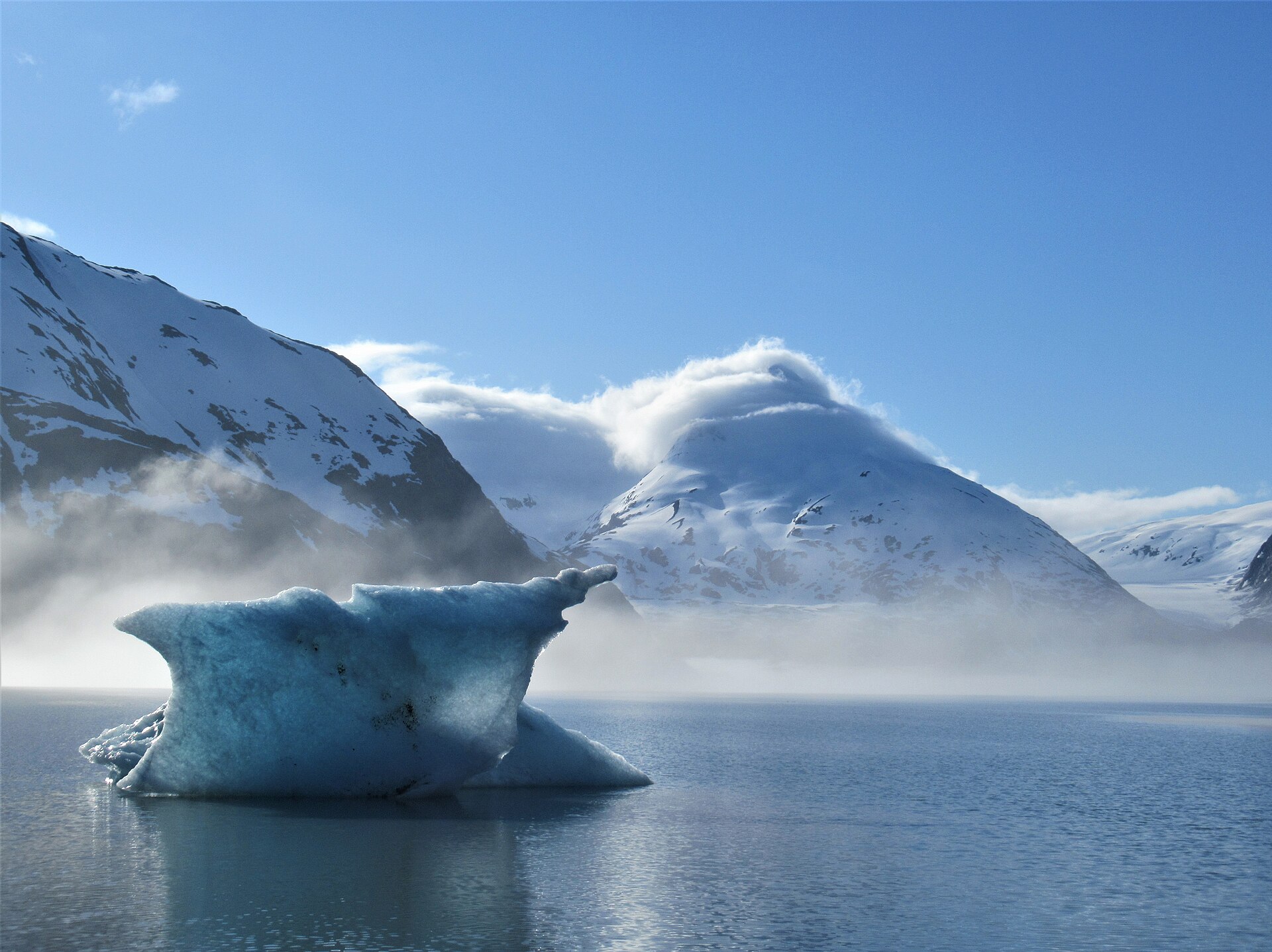 Plate CCLXXXVI
Chugach
alpinePrince William Sound and Portage, Chugach NF, Alaska
A forest that still calves into a sound.
60.8° N · 148.8° WOpen plate →
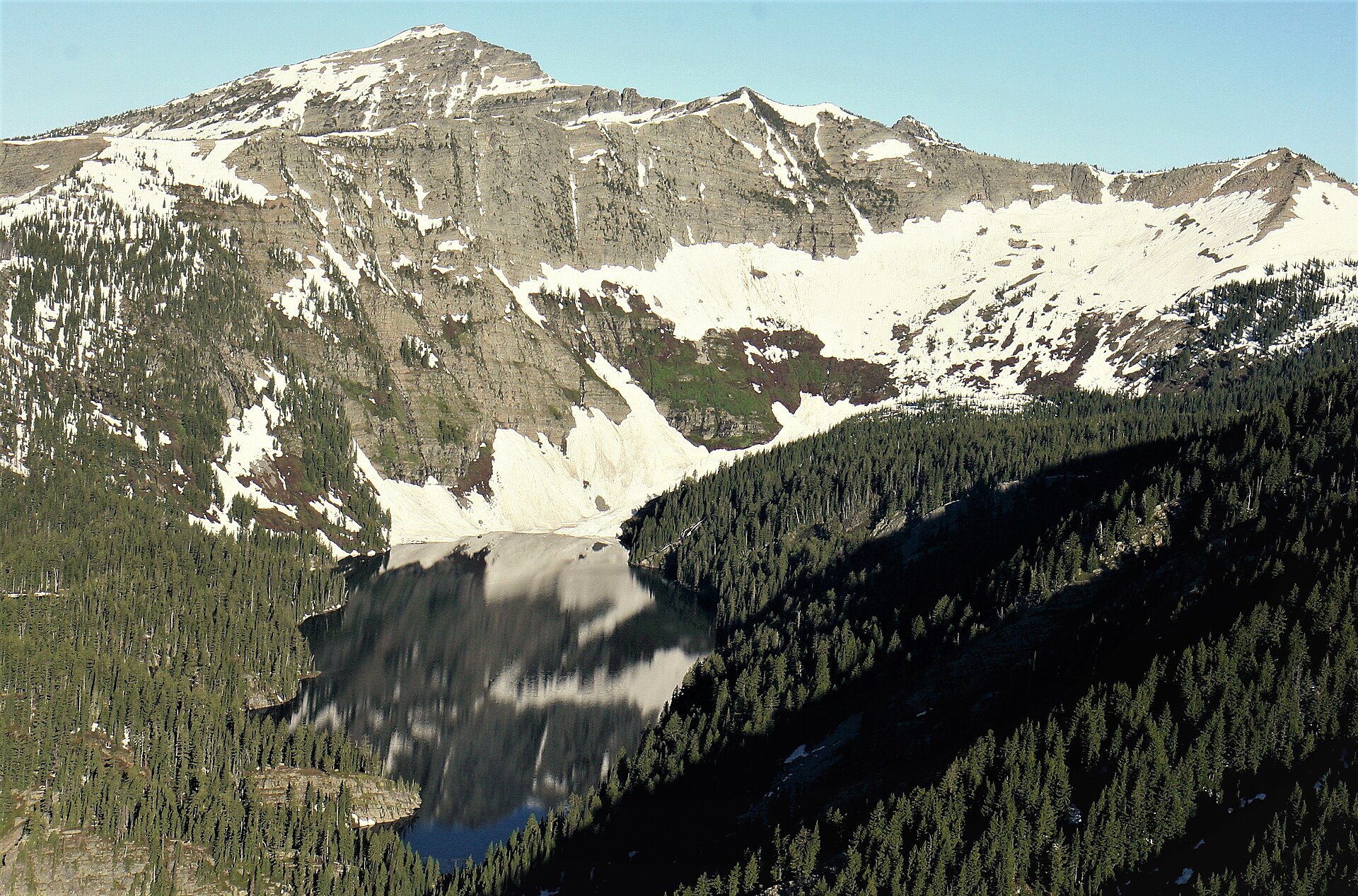 Plate CCLXXXVIII
Cabinet Mountains
alpineCabinet Mountains Wilderness, Kootenai NF, Montana
Lakes the Cabinet walls still hold.
48.2° N · 115.7° WOpen plate →
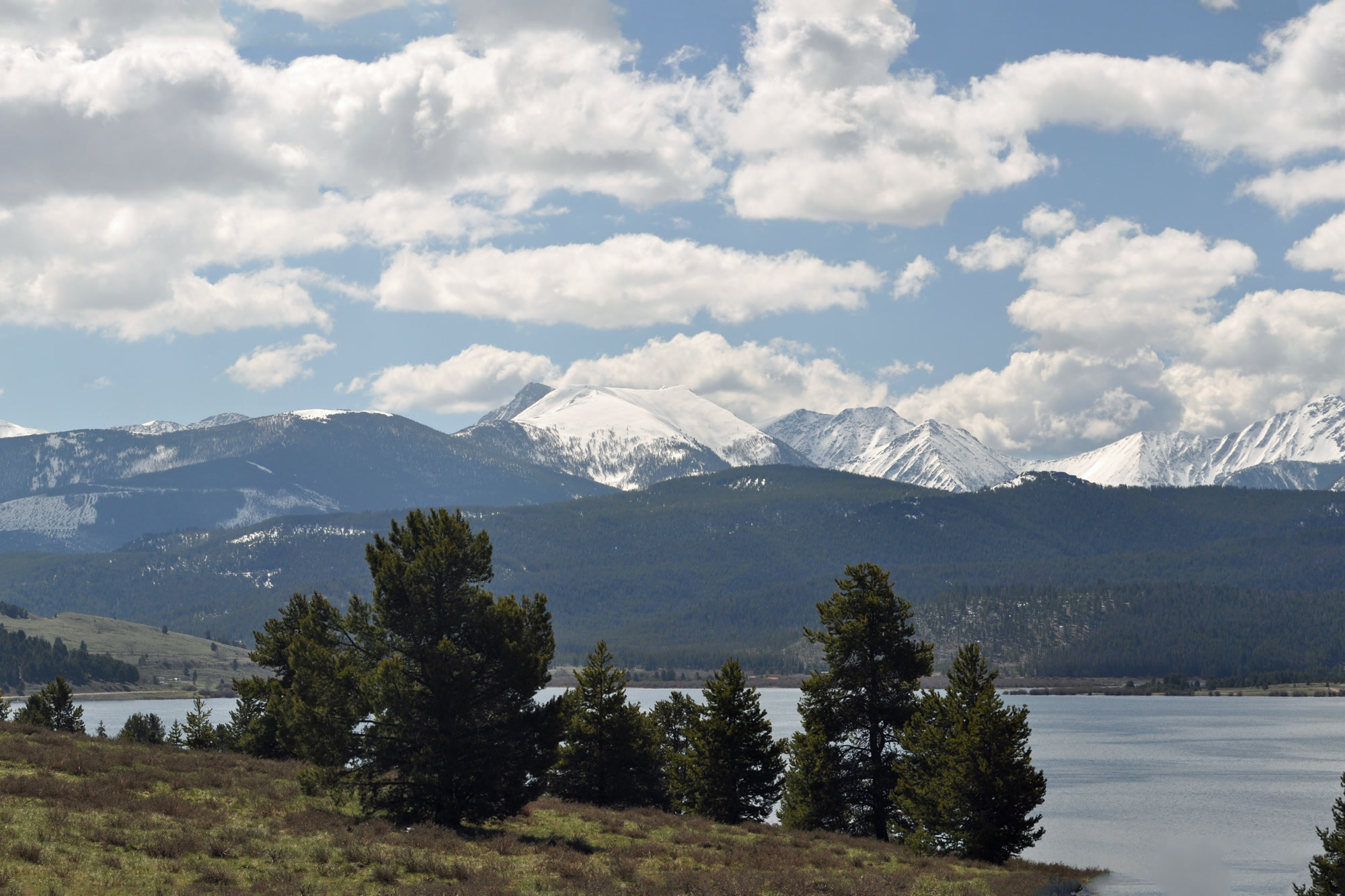 Plate CCXCI
Anaconda-Pintler
alpineAnaconda-Pintler Wilderness, Beaverhead-Deerlodge NF, Montana
A wilderness the Pintler wall still keeps.
46.0° N · 113.4° WOpen plate →
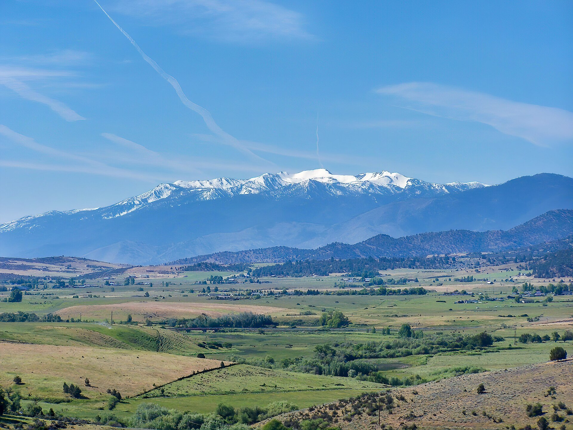 Plate CCXCVI
Mount Eddy
alpineTrinity Divide, Shasta-Trinity NF, California
The quiet mountain that looks back at Shasta.
41.3° N · 122.5° WOpen plate →
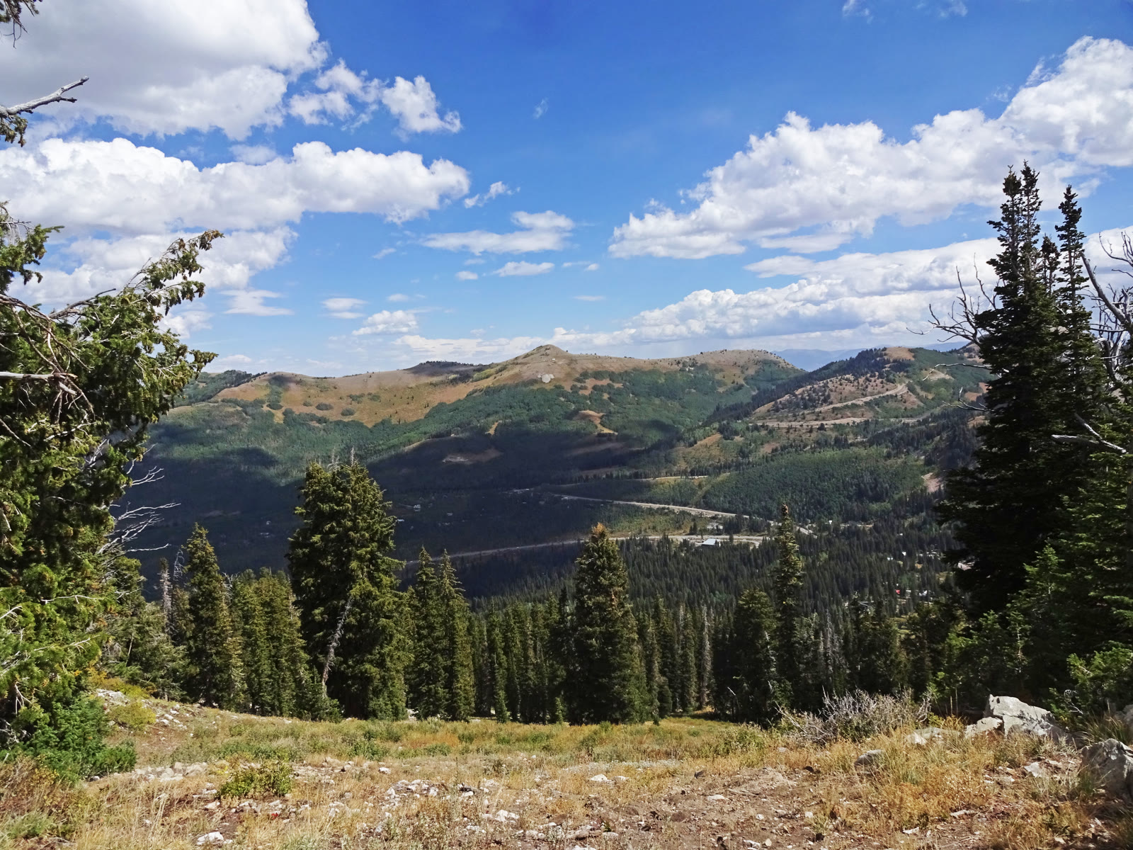 Plate CCCXXXVI
Guardsman Pass Overlook
alpineWasatch saddle, Salt Lake and Wasatch counties, Utah
A high saddle the canyon road has to cross.
40.6° N · 111.6° WOpen plate →
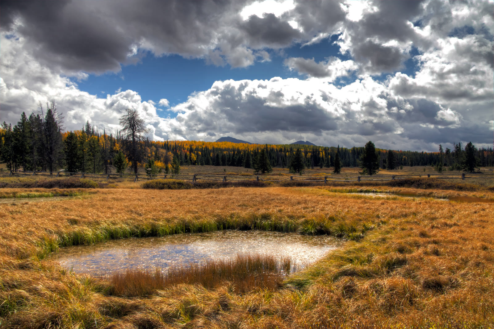 Plate CCCXXXVIII
Mirror Lake Highway
alpineUtah 150, Kamas to the Wyoming line, Utah
The paved road that reads the west Uintas.
40.7° N · 110.9° WOpen plate →
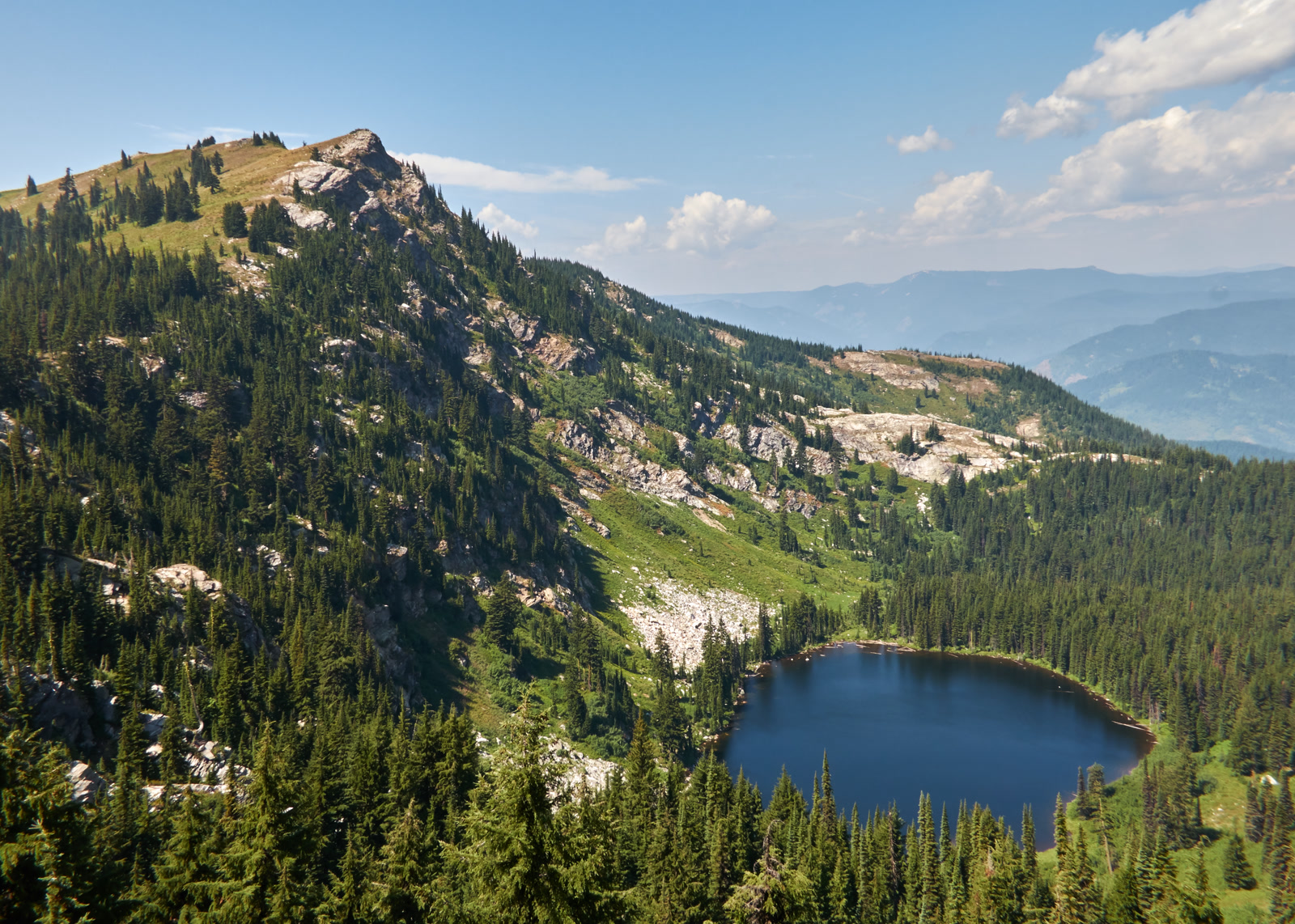 Plate CCCXLIII
Larkins Lake
alpineMallard-Larkins Pioneer Area, St. Joe, Idaho
A named lake under its own Clearwater peak.
47.0° N · 115.6° WOpen plate →
 Plate CCCXLIV
Fourth of July Lake
alpineWhite Cloud Mountains, Sawtooth NRA, Idaho
High water in the quieter range beside the Sawtooths.
44.0° N · 114.6° WOpen plate →
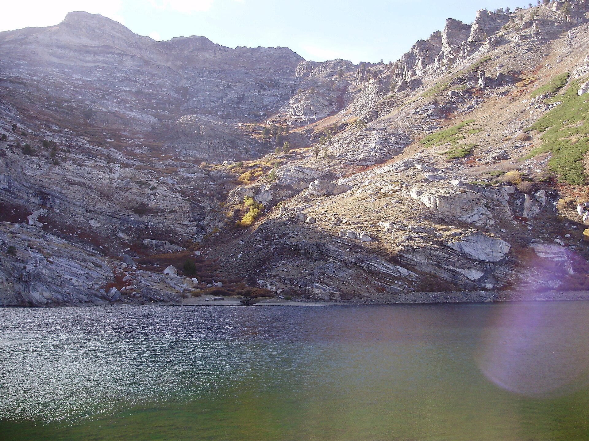 Plate CCCXLVI
Angel Lake
alpineEast Humboldt Range, Elko County, Nevada
A named tarn under Greys Peak.
41.0° N · 115.1° WOpen plate →
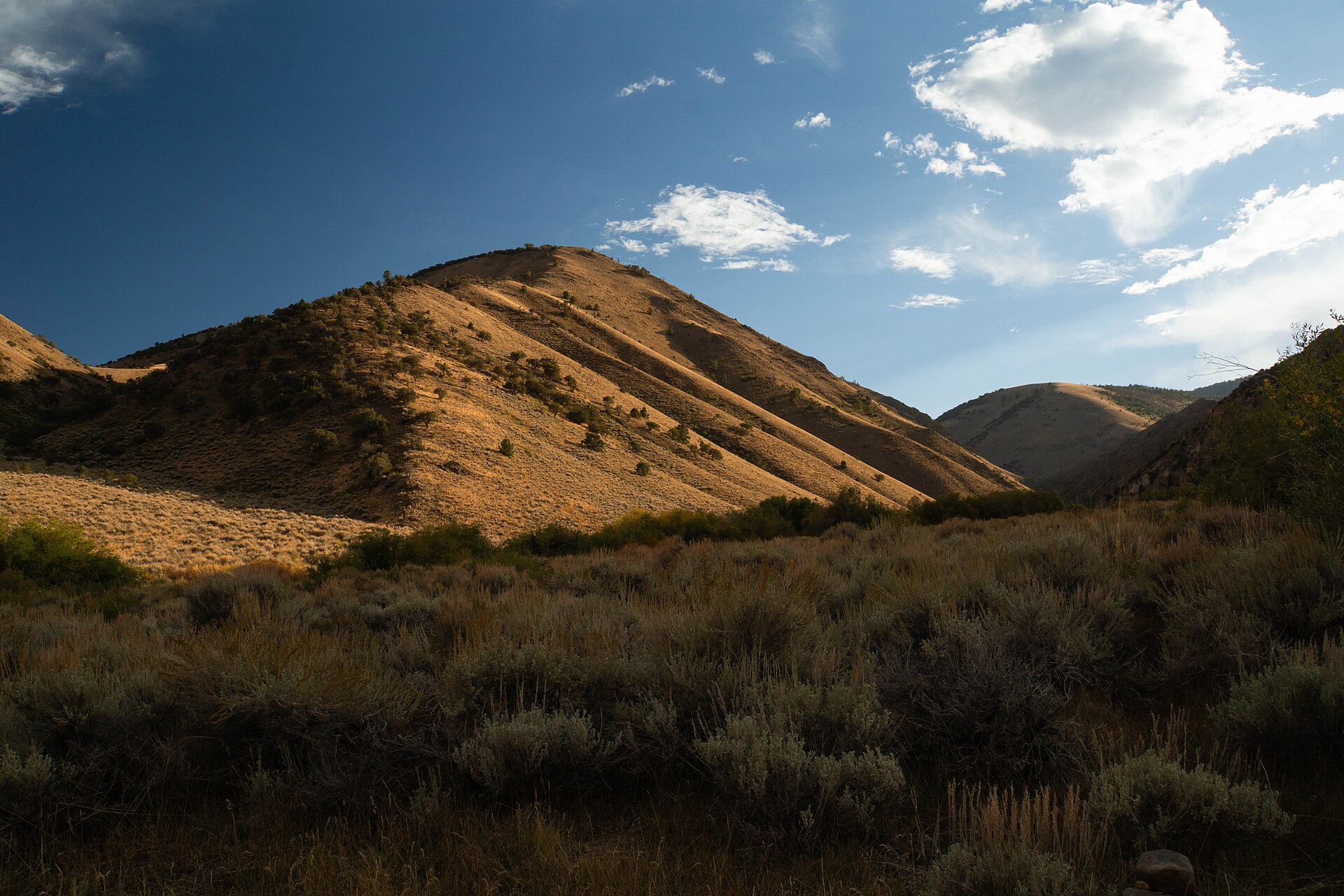 Plate CCCXLVII
Arc Dome
alpineToiyabe Range, Nye County, Nevada
The high point of the Toiyabe Range.
38.8° N · 117.4° WOpen plate →
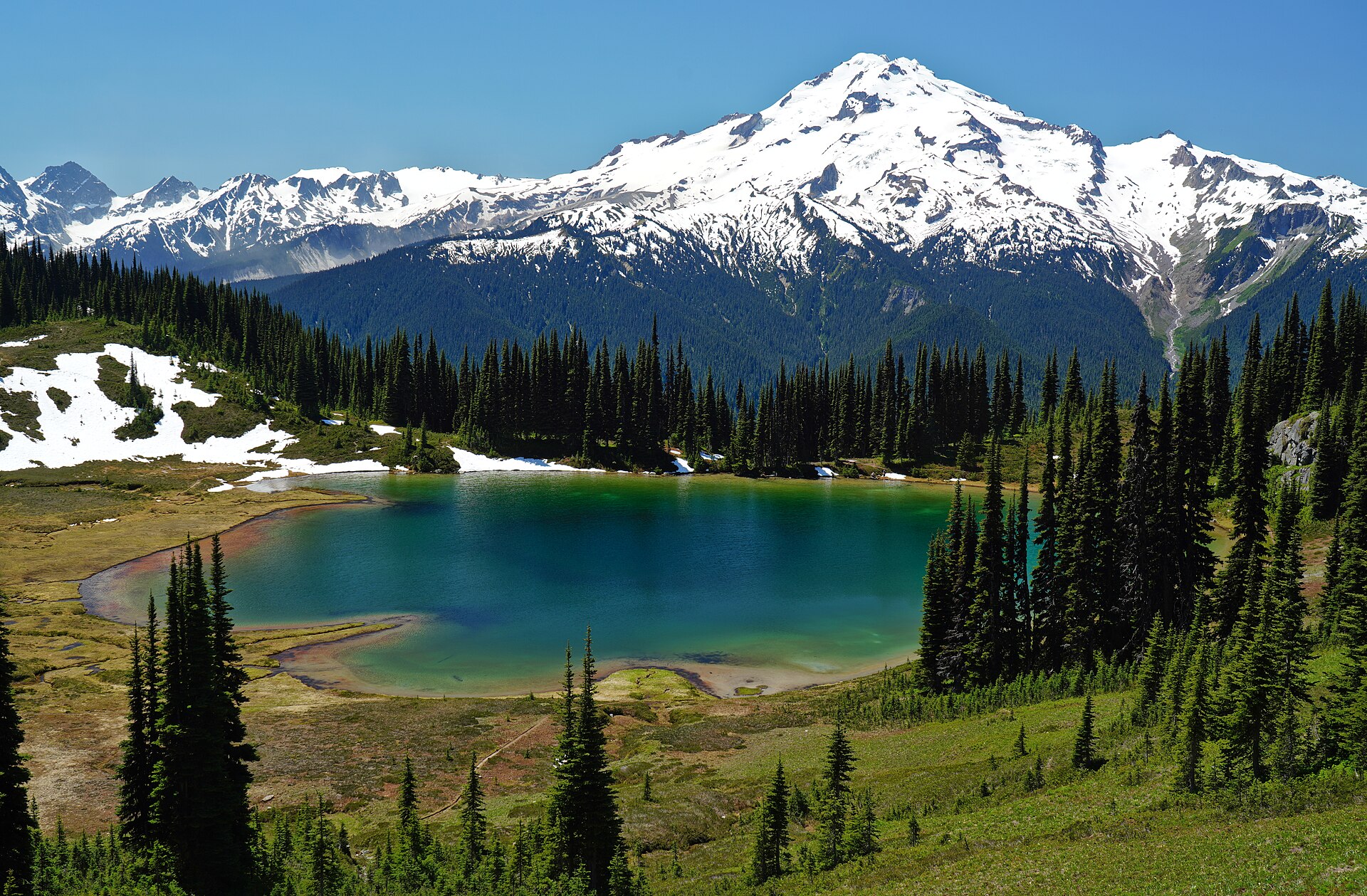 Plate CCCL
Image Lake
alpineMiners Ridge, Glacier Peak Wilderness, Washington
A tarn holding Glacier Peak.
48.2° N · 121.0° WOpen plate →
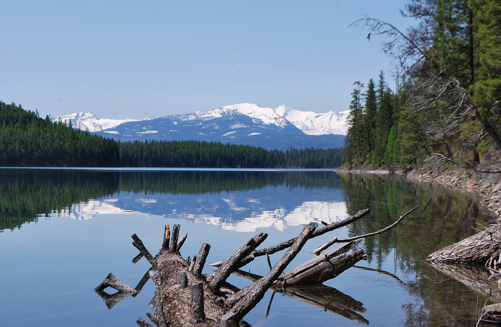 Plate CCCLIV
Holland Lake
alpineSwan Range, Flathead National Forest, Montana
A Forest Service lake under the Swan crest.
47.5° N · 113.6° WOpen plate →
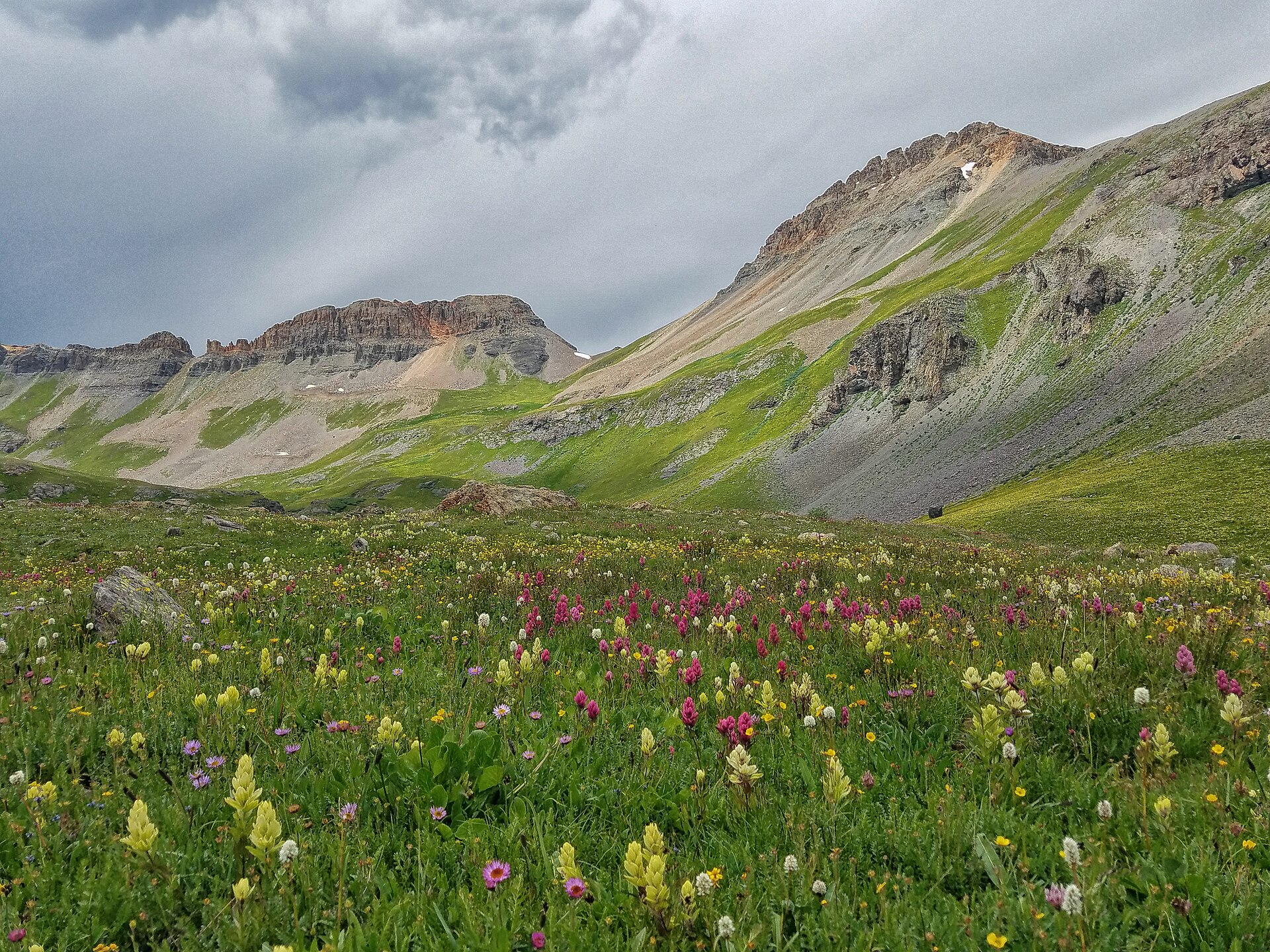 Plate CCCLVII
Ice Lake
alpineIce Lake Basin, San Juan National Forest, Colorado
A high turquoise bowl above Silverton.
37.8° N · 107.8° WOpen plate →
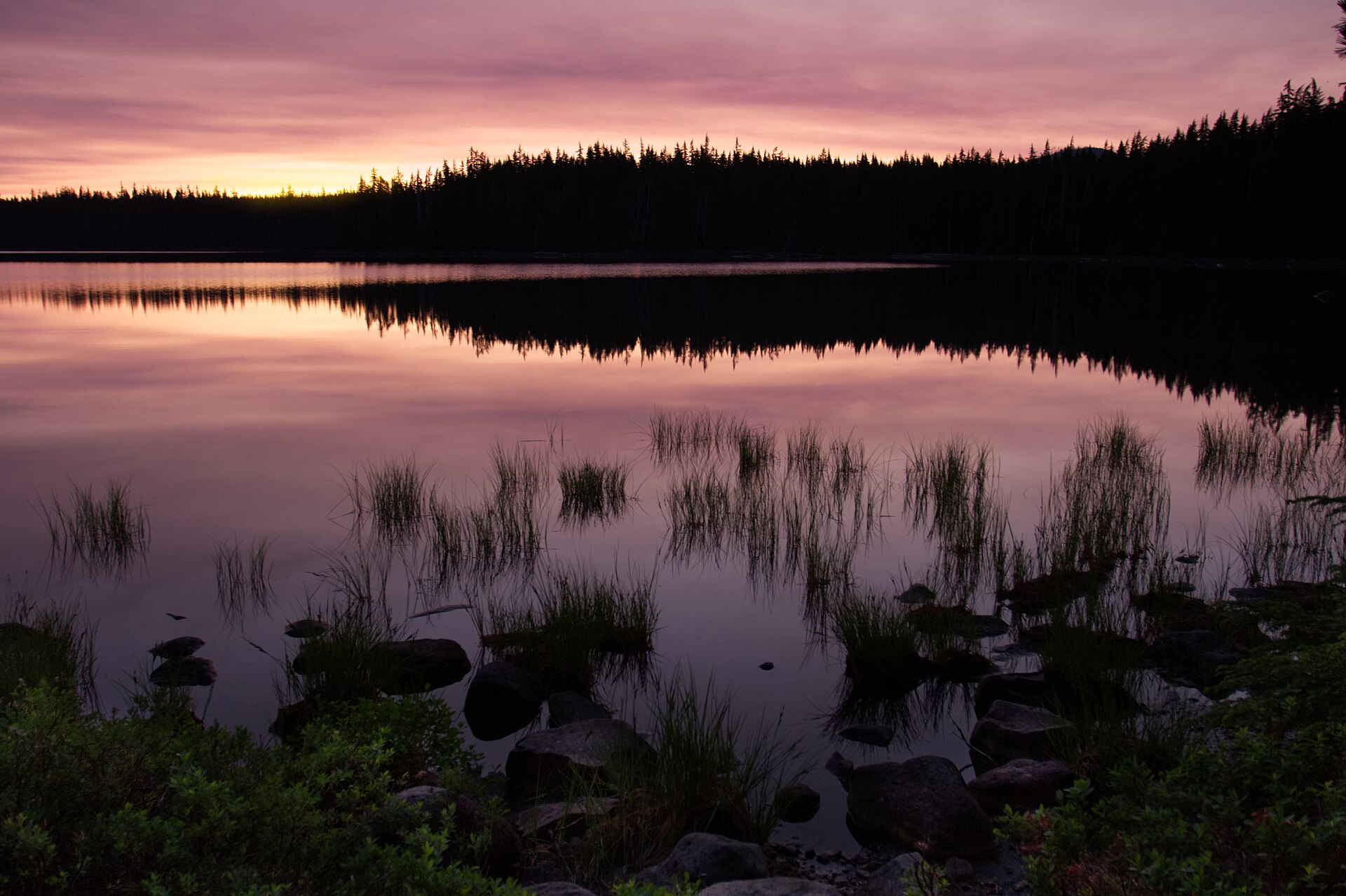 Plate CCCLX
Waldo Lake
alpineWillamette National Forest, Lane County, Oregon
A clear Cascade lake the highways miss.
43.7° N · 122.0° WOpen plate →
Asked at the trailhead
Questions already asked
- What alpine parks should I visit in the US?
- Rocky Mountain, Glacier, Yosemite high country, and Alaska ranges are the usual starts. This alpine index lists plates by landform so you can compare cirques, passes, and summits.
Change course