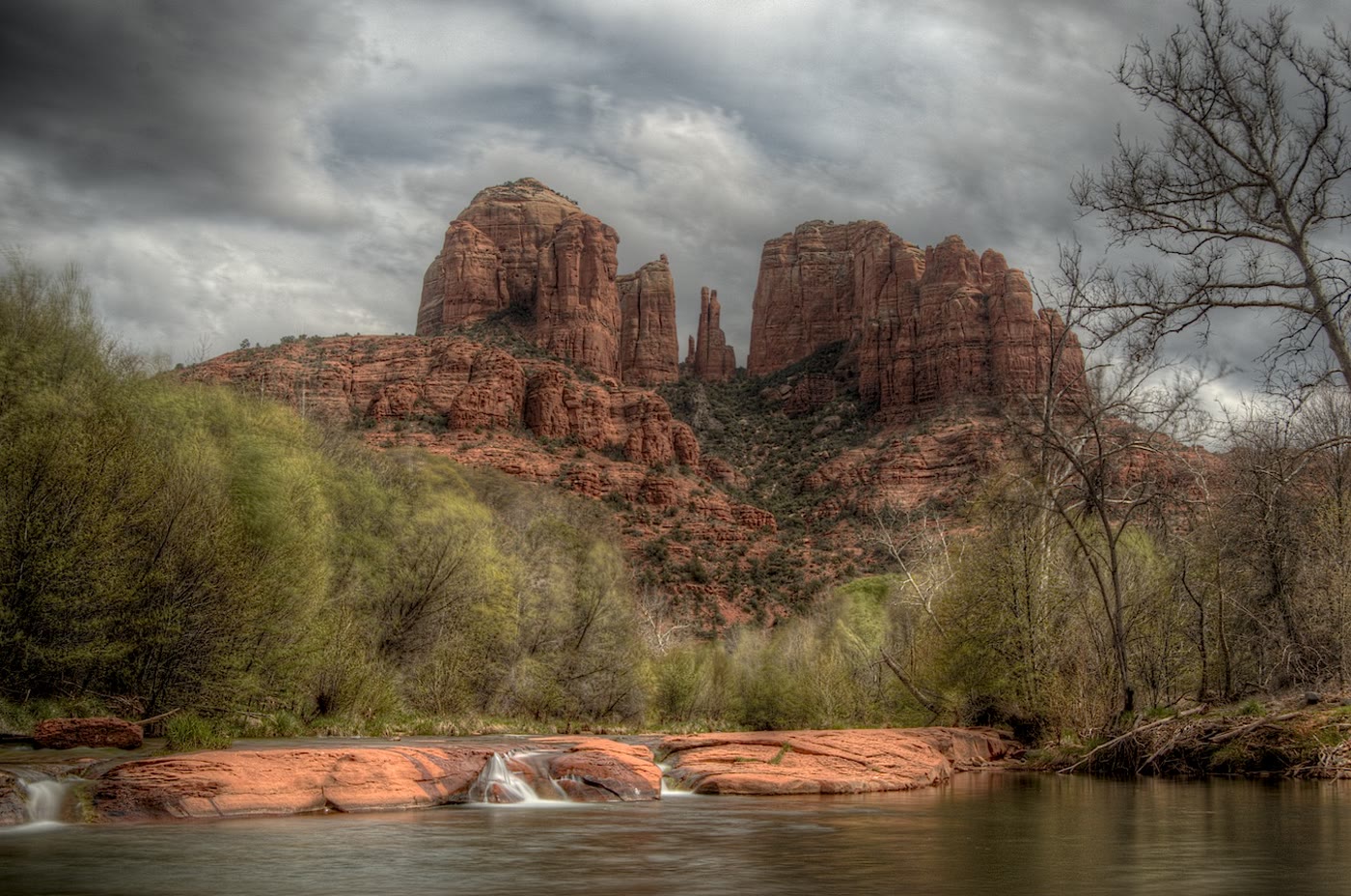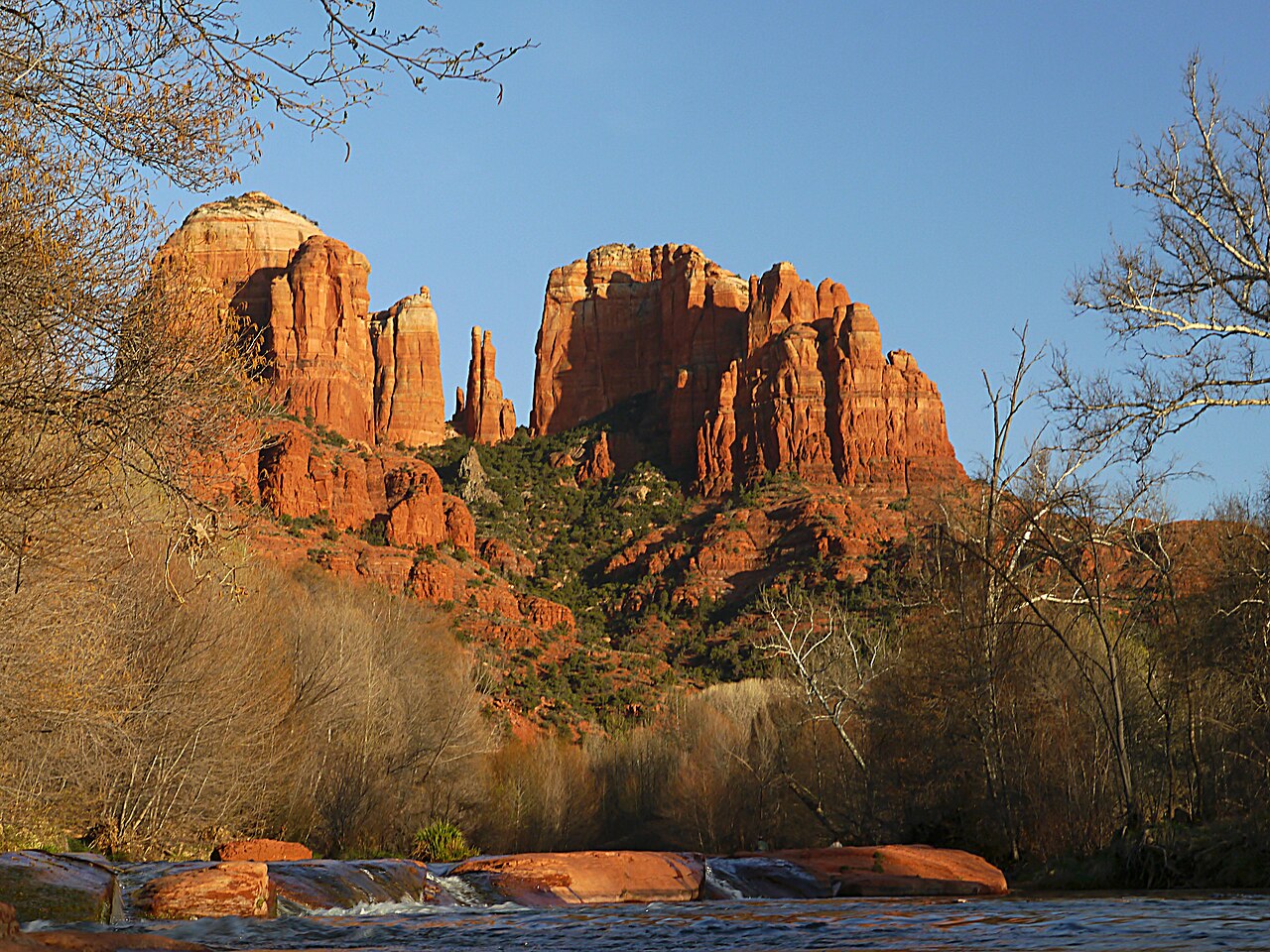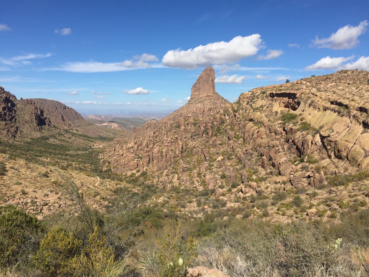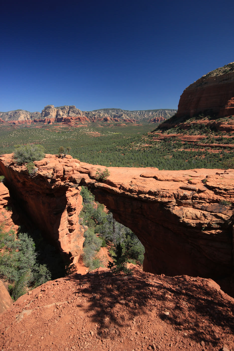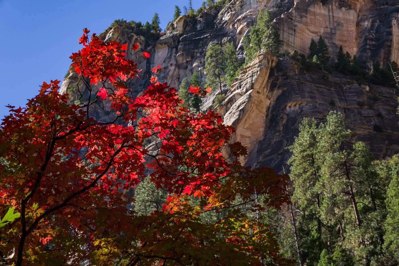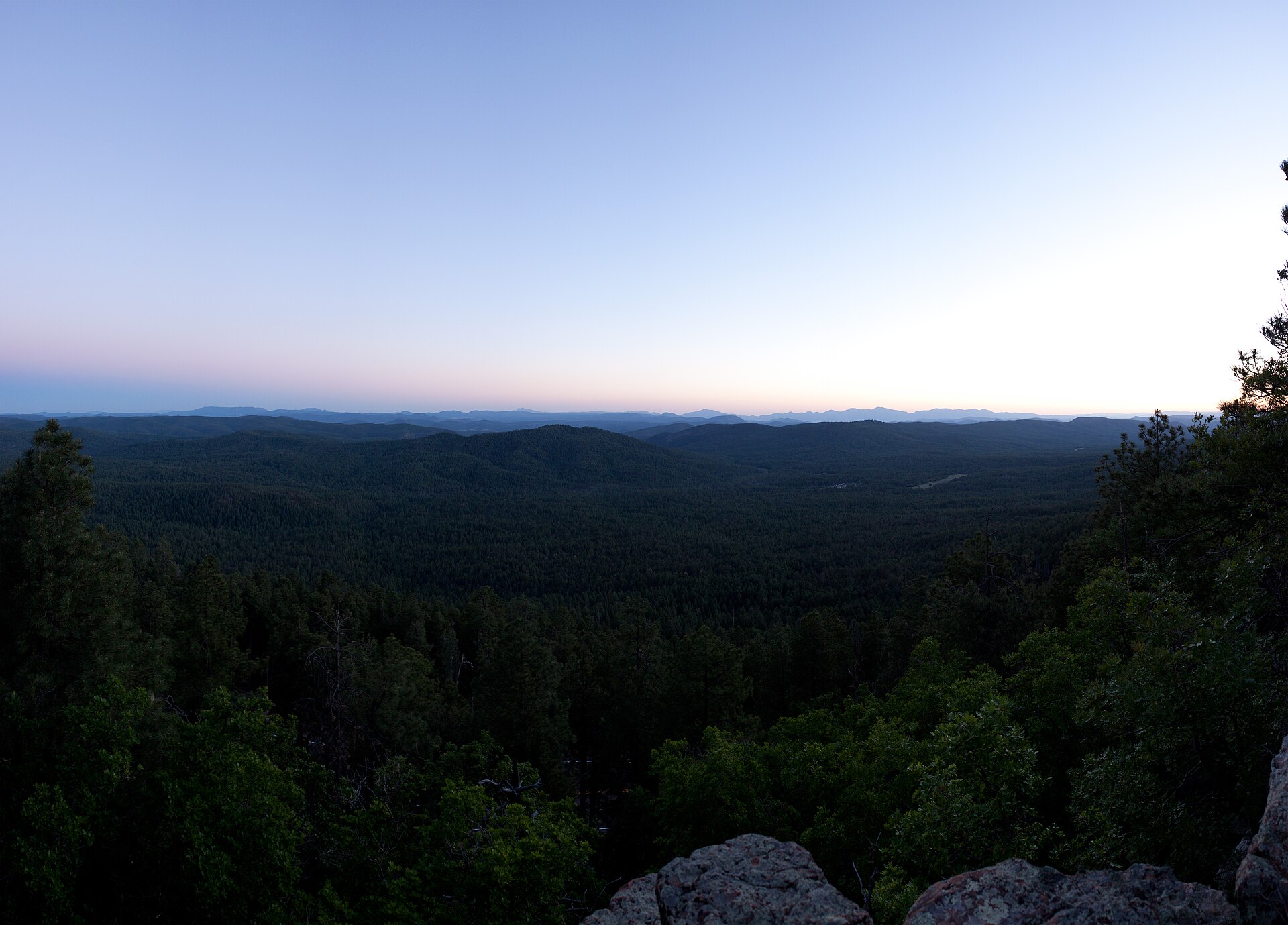
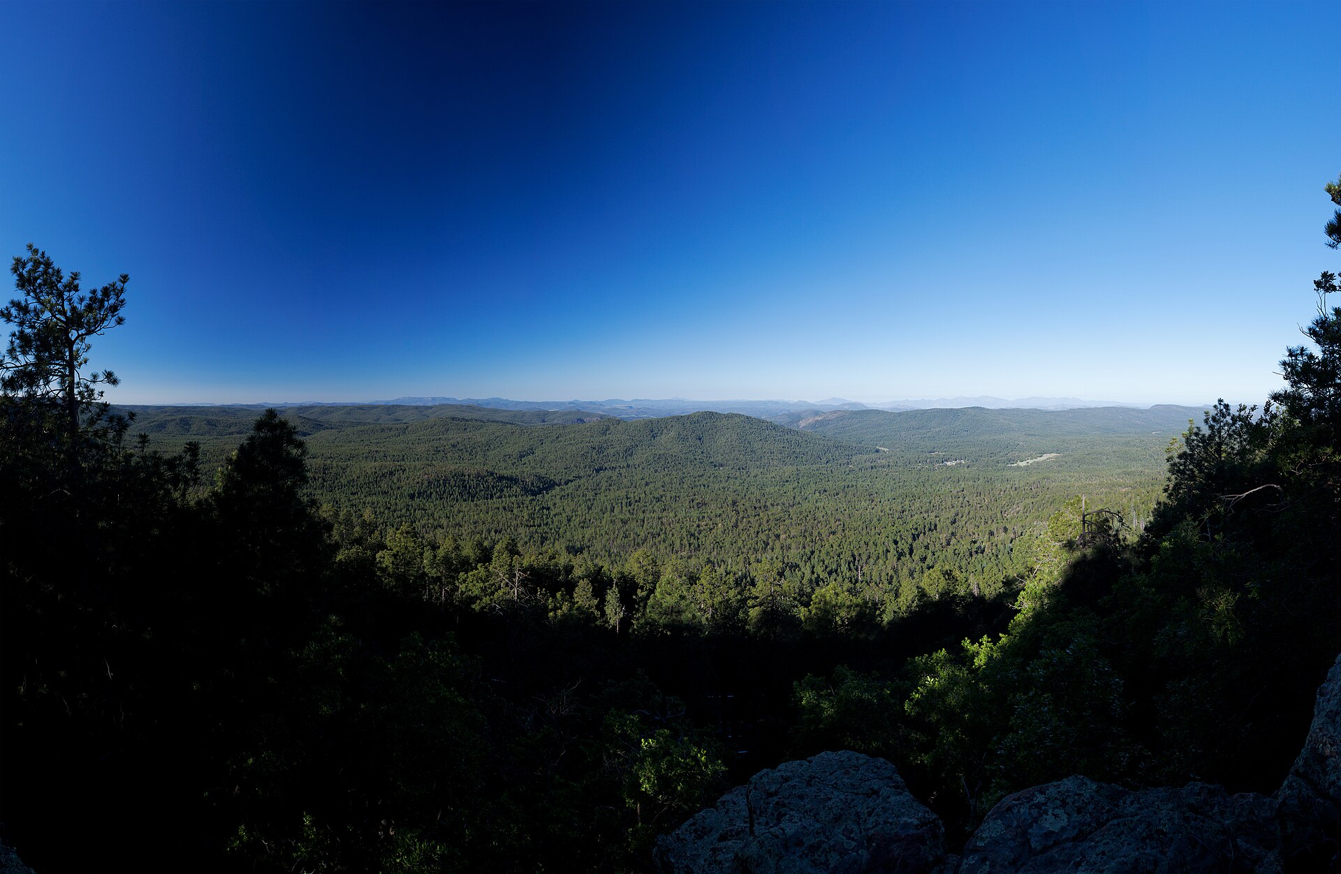
Fig. 1Sunset on the Mogollon Rim near Woods Canyon Lake
Photo: Alan Stark from Goodyear, AZ, United States · CC BY-SA 2.0
Landform
A basalt rim over ponderosa on the Apache-Sitgreaves, by Woods Canyon Lake
Field note
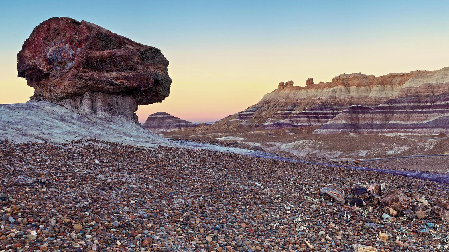
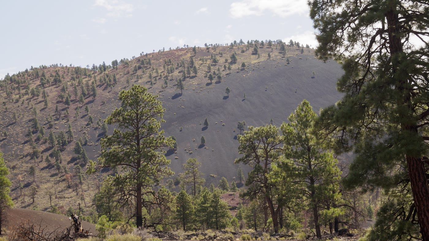
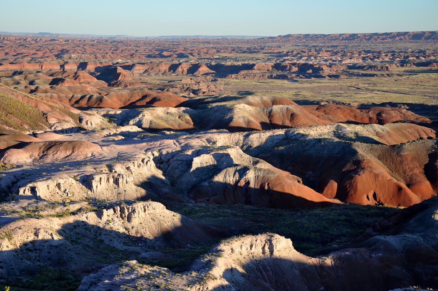
Forest Road 300 runs this rim east of Payson. The overlook near Woods Canyon Lake sits about 7,530 feet. The lake itself is a developed Rim Lake with a campground. The Grand Canyon is the great cut farther north on the same plateau. This plate is the Mogollon edge, not that canyon and not the marina.
The Mogollon Rim here is the Apache-Sitgreaves edge near Woods Canyon Lake, east of Payson on Forest Road 300. The lake below has a campground. This plate is the escarpment, not the marina and not the Grand Canyon.