Back to Field book
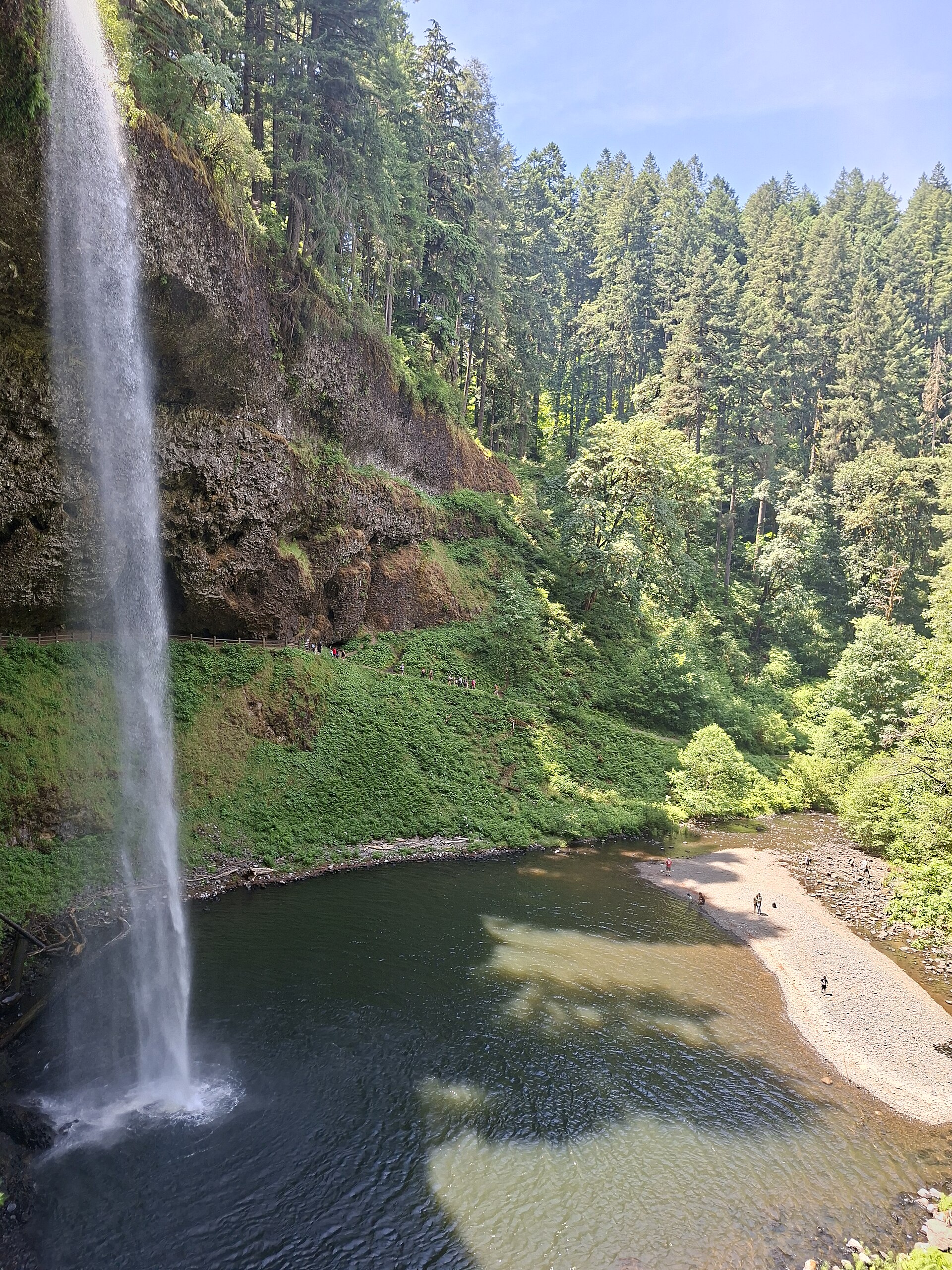
South Falls over the fir canyon at Silver Falls
Views 0/3

Fig. 1South Falls over the fir canyon at Silver Falls

Photo: KanaArima · CC BY-SA 3.0

Landform

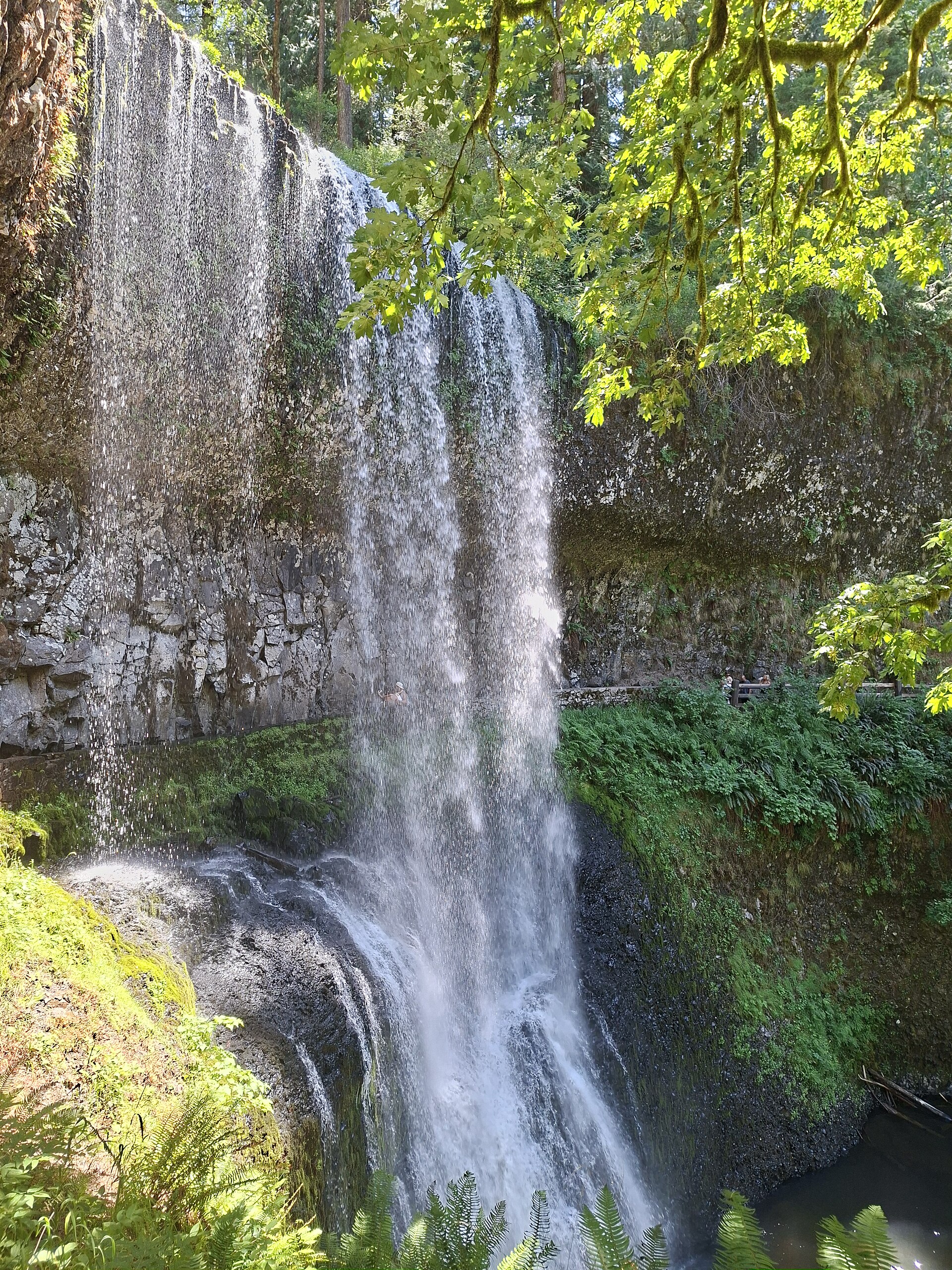
South Falls and a canyon of named drops — a 177-foot plunge over Columbia River Basalt, a trail that walks behind the water.

Field note

The Trail of Ten Falls threads South, Lower South, and North. Silverton is the town. This plate is Silver Falls State Park, not Multnomah and not Proxy Falls.

Silver Falls is a canyon of named drops on Columbia River Basalt — South Falls the long plunge. Silverton is the town. This plate is the state park, not Multnomah and not Proxy.
Views & peaks

Inside this plate

Views 0/3


Stamp each view as you reach it; the plate seals when every one is inked.

A private leaf

Prints from Silver Falls


Instant paper, this copy only. Write on the white — a line the walk still owes you.

The prints

0 / 24

Opening the leaf…

Onward

A day's country


The nearest plates, by the miles.

Forest chapter

More forest destinations


Other US forest plates. See all forest destinations in the USA

Fold-out

On the chart


Vintage map of the United States