The Field Atlas
0/363Canopy country
Forest destinations in the USA
American forests are not one biome. Coastal redwoods, Pacific Northwest fir, eastern hardwoods, and isolated woods on the plains all ask for different walking.
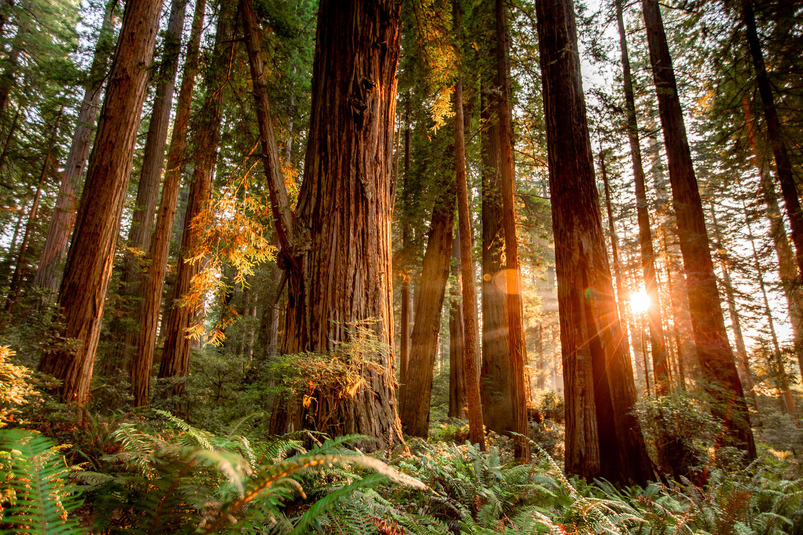
FrontispieceCoast Redwoods, California
These plates collect woods worth a detour — famous groves, eastern hardwood in fall color, Lost Maples on the Edwards Plateau, and Big Thicket Pineywoods in Texas. Panthertown and Joyce Kilmer are Nantahala walks; McCormick keeps Ottawa hardwood at Lower Baraga Lake. Richland Creek keeps Twin Falls in the Ozark wilderness. Light through canopy and the smell after rain.
- Plates
- 34
- States
- 19
States in this chapter
- Alaska
- Arizona
- Arkansas
- California
- Colorado
- Michigan
- Minnesota
- Montana
- New Mexico
- North Carolina
- Oregon
- Pennsylvania
- Tennessee / North Carolina
- Texas
- Utah
- Virginia
- Washington
- West Virginia
- Wyoming
Forest chapter
The plates
Plate XCoast Redwoods
forestRedwood National and State Parks, California
A forest that drinks the Pacific fog.
41.2° N · 124.0° WOpen plate →
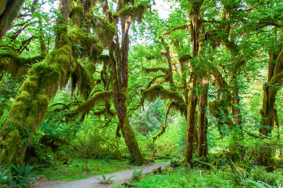 Plate XII
Hoh Rain Forest
forestOlympic National Park, Washington
A green hush that never quite dries.
47.9° N · 123.9° WOpen plate →
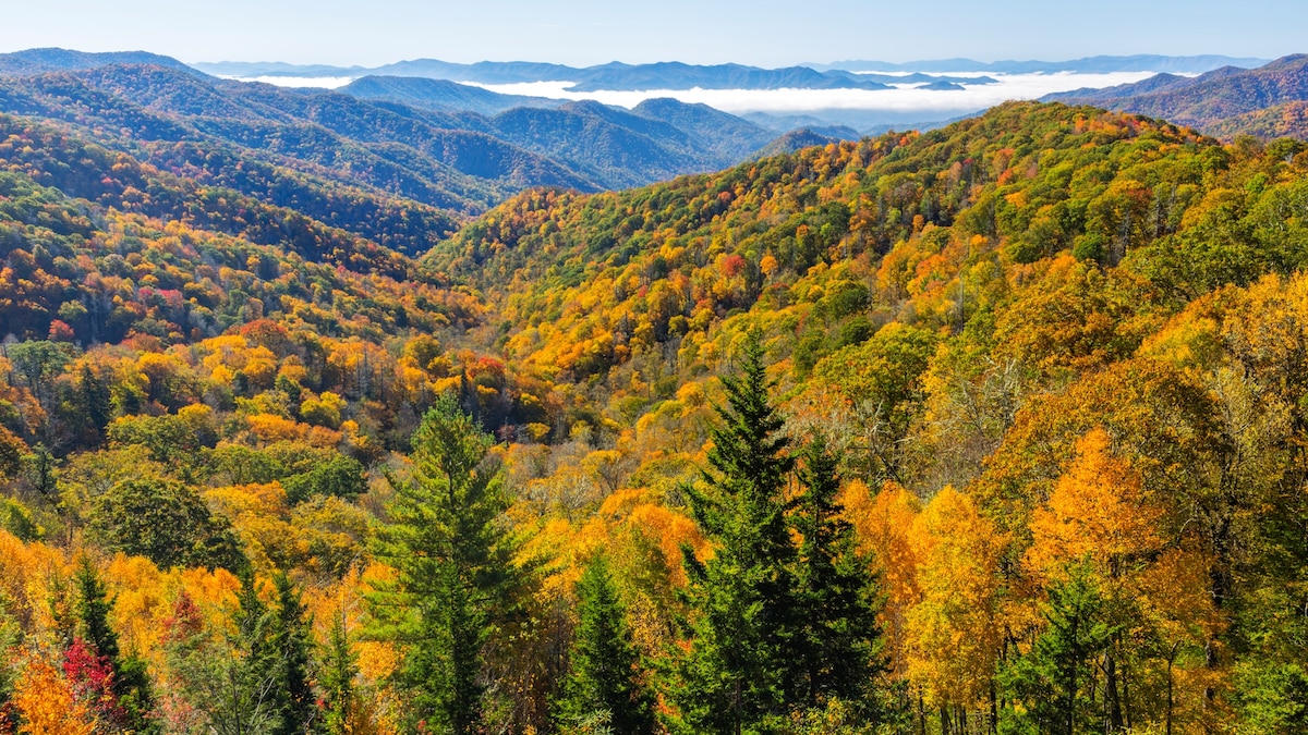 Plate XXVI
Great Smoky Mountains
forestSouthern Appalachians, Tennessee / North Carolina
A forest so old it makes its own blue weather.
35.6° N · 83.5° WOpen plate →
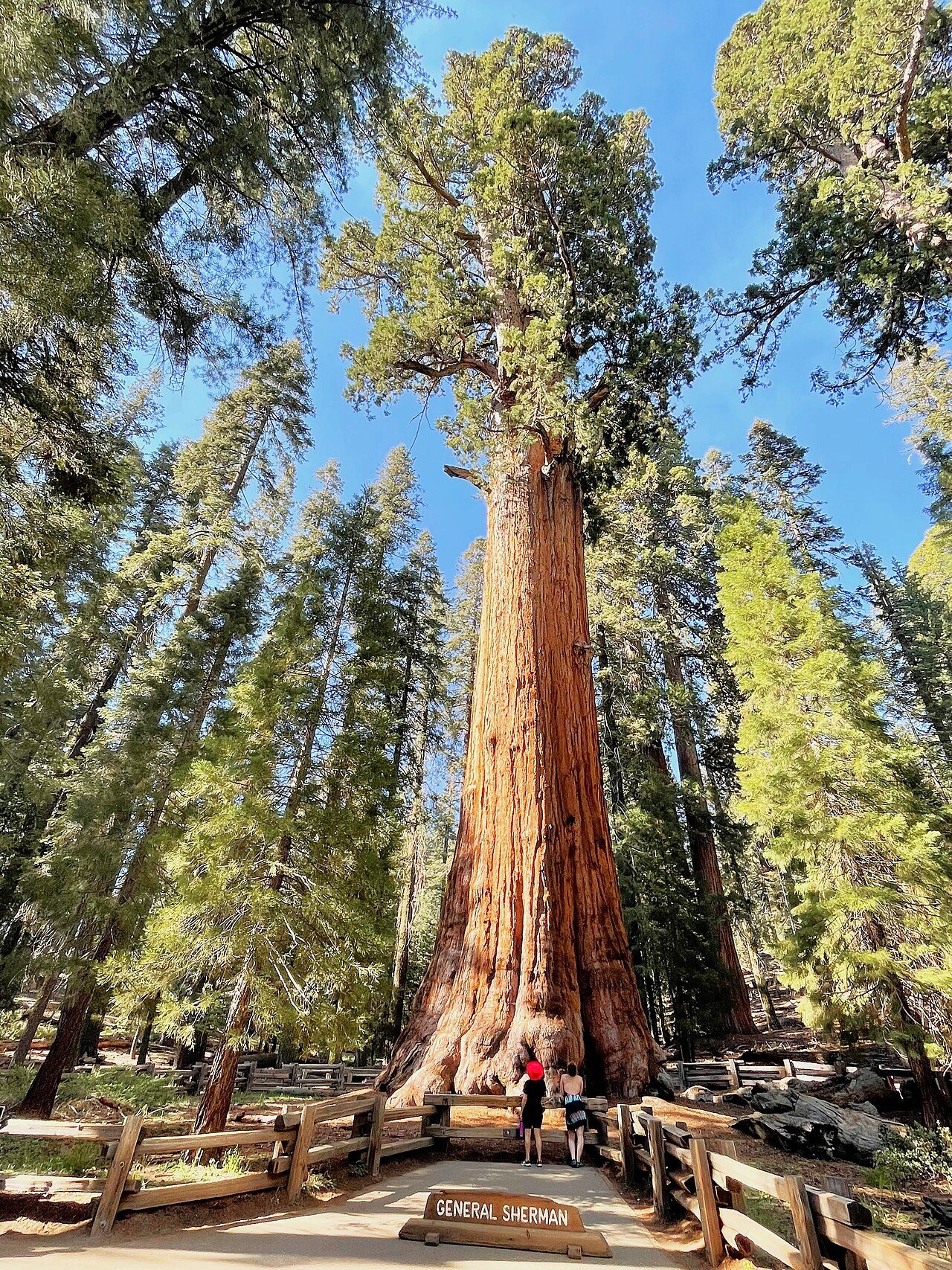 Plate XLIII
Giant Sequoias
forestWestern Sierra Nevada, California
Trees so large they reset your sense of scale.
36.5° N · 118.6° WOpen plate →
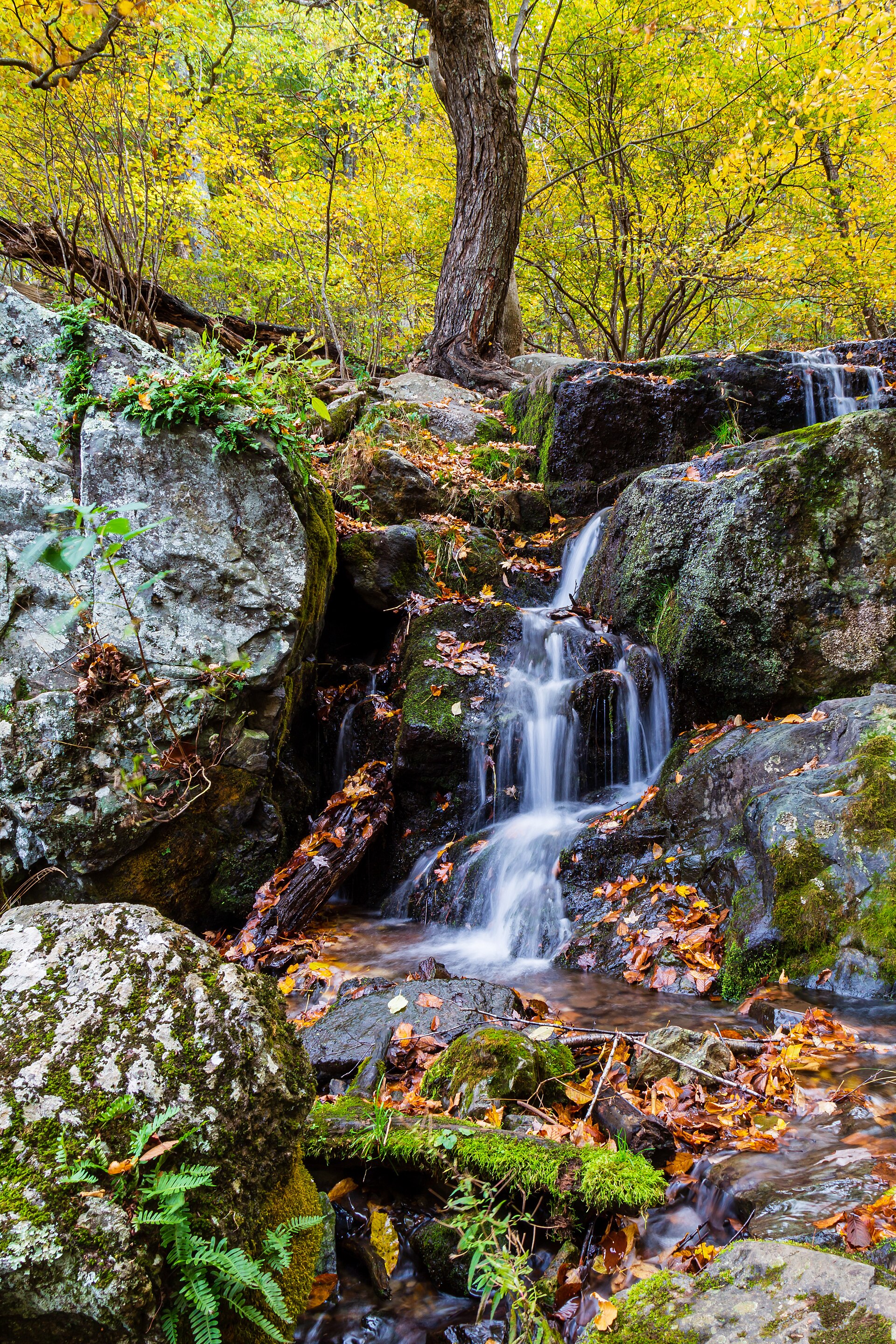 Plate XLIX
Shenandoah
forestBlue Ridge, Skyline Drive, Virginia
A mountain road through a hundred miles of October.
38.3° N · 78.7° WOpen plate →
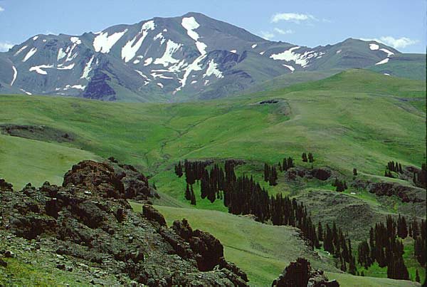 Plate LXXVII
Shoshone National Forest
forestAbsaroka Range, east of Yellowstone, Wyoming
The first forest the country decided to keep.
44.5° N · 109.6° WOpen plate →
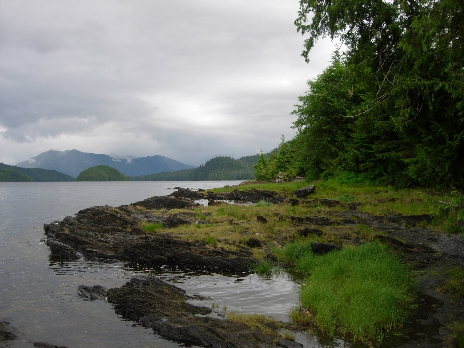 Plate LXXVIII
Tongass
forestAlexander Archipelago, Alaska
A rainforest the size of West Virginia, written in fog.
55.6° N · 130.7° WOpen plate →
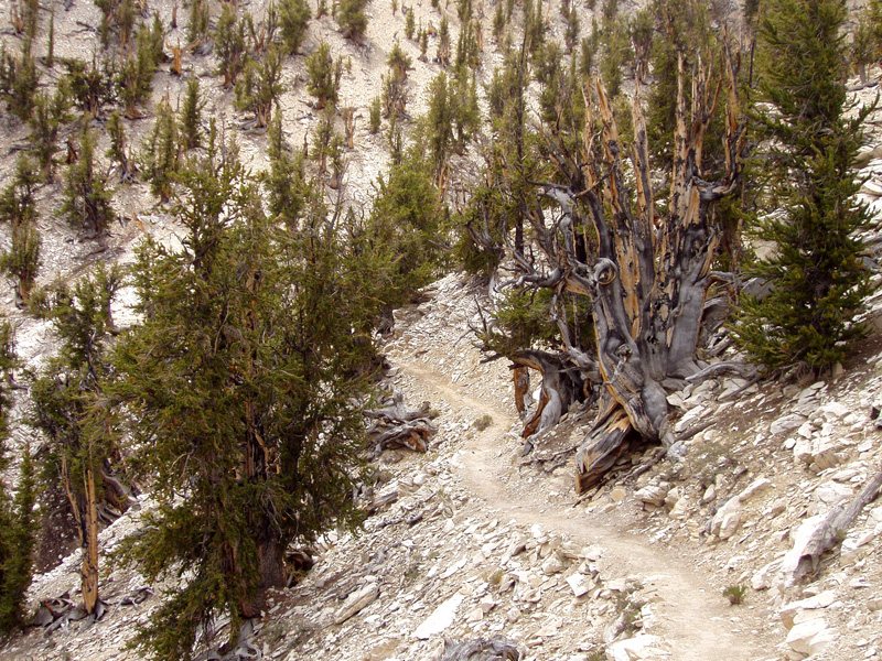 Plate LXXX
Ancient Bristlecones
forestWhite Mountains, Inyo National Forest, California
A forest that has been dying, and living, for forty-five centuries.
37.4° N · 118.2° WOpen plate →
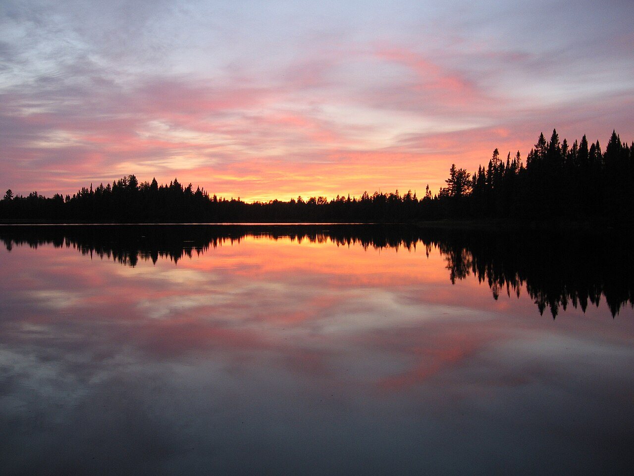 Plate LXXXI
Boundary Waters
forestSuperior National Forest, Minnesota
A forest you cross by water, one lake at a time.
48.0° N · 91.5° WOpen plate →
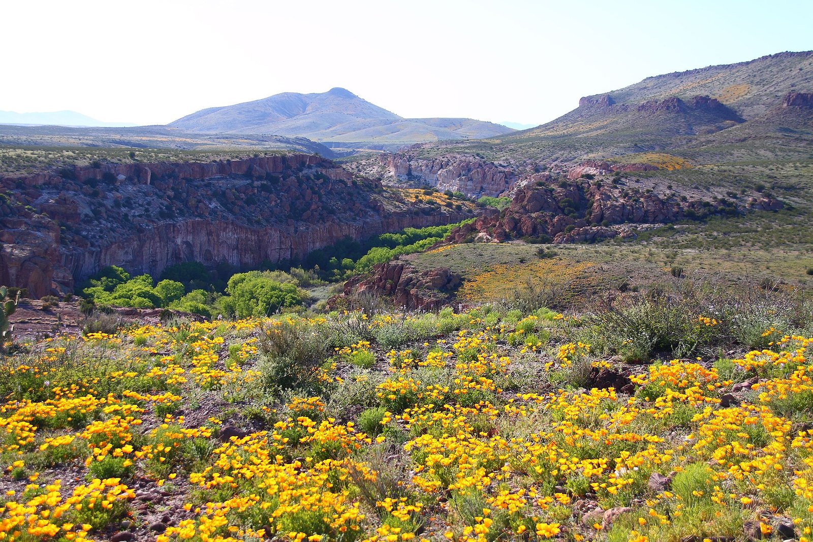 Plate LXXXII
Gila Wilderness
forestGila National Forest, Mogollon Mountains, New Mexico
The place the idea of wilderness was invented.
33.2° N · 108.3° WOpen plate →
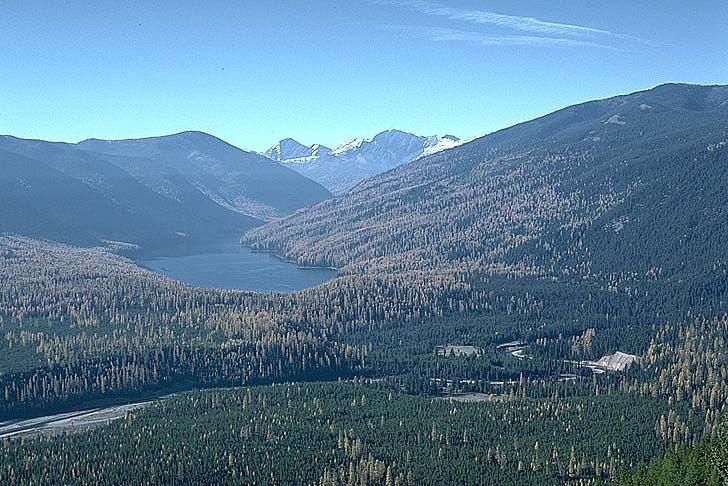 Plate LXXXIII
The Bob
forestBob Marshall Wilderness, Flathead National Forest, Montana
A forest big enough to lose a mountain range inside.
47.6° N · 113.4° WOpen plate →
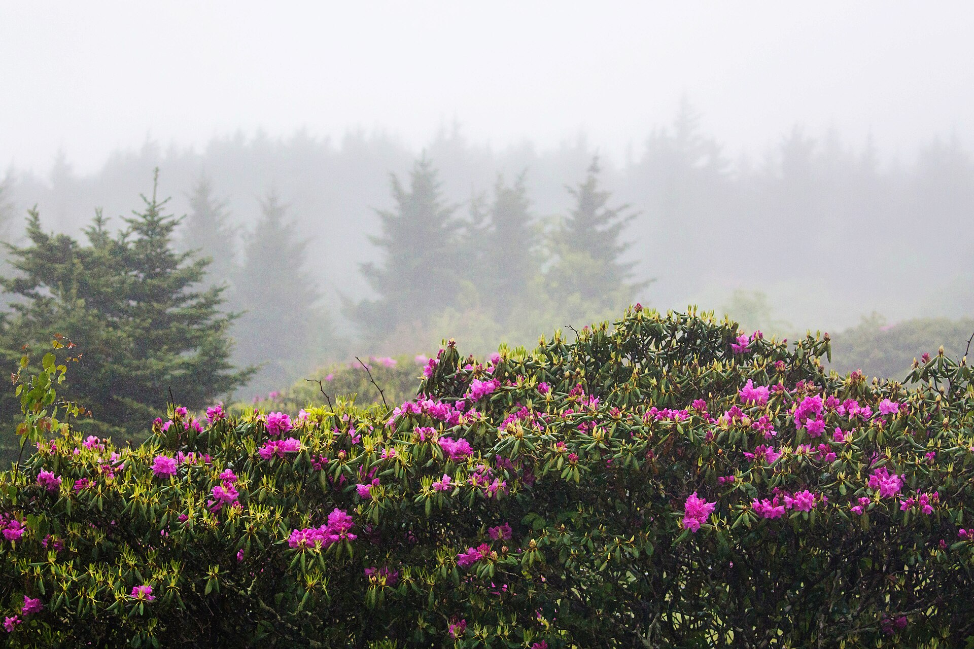 Plate LXXXIV
Pisgah
forestBlue Ridge, near Brevard, North Carolina
Where the East learned to grow a forest back.
35.3° N · 82.8° WOpen plate →
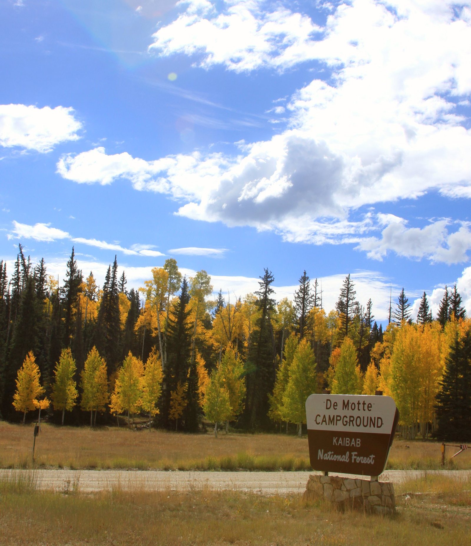 Plate LXXXVI
Kaibab Plateau
forestKaibab National Forest, North Rim country, Arizona
A yellow-pine forest standing on the canyon’s other door.
36.4° N · 112.1° WOpen plate →
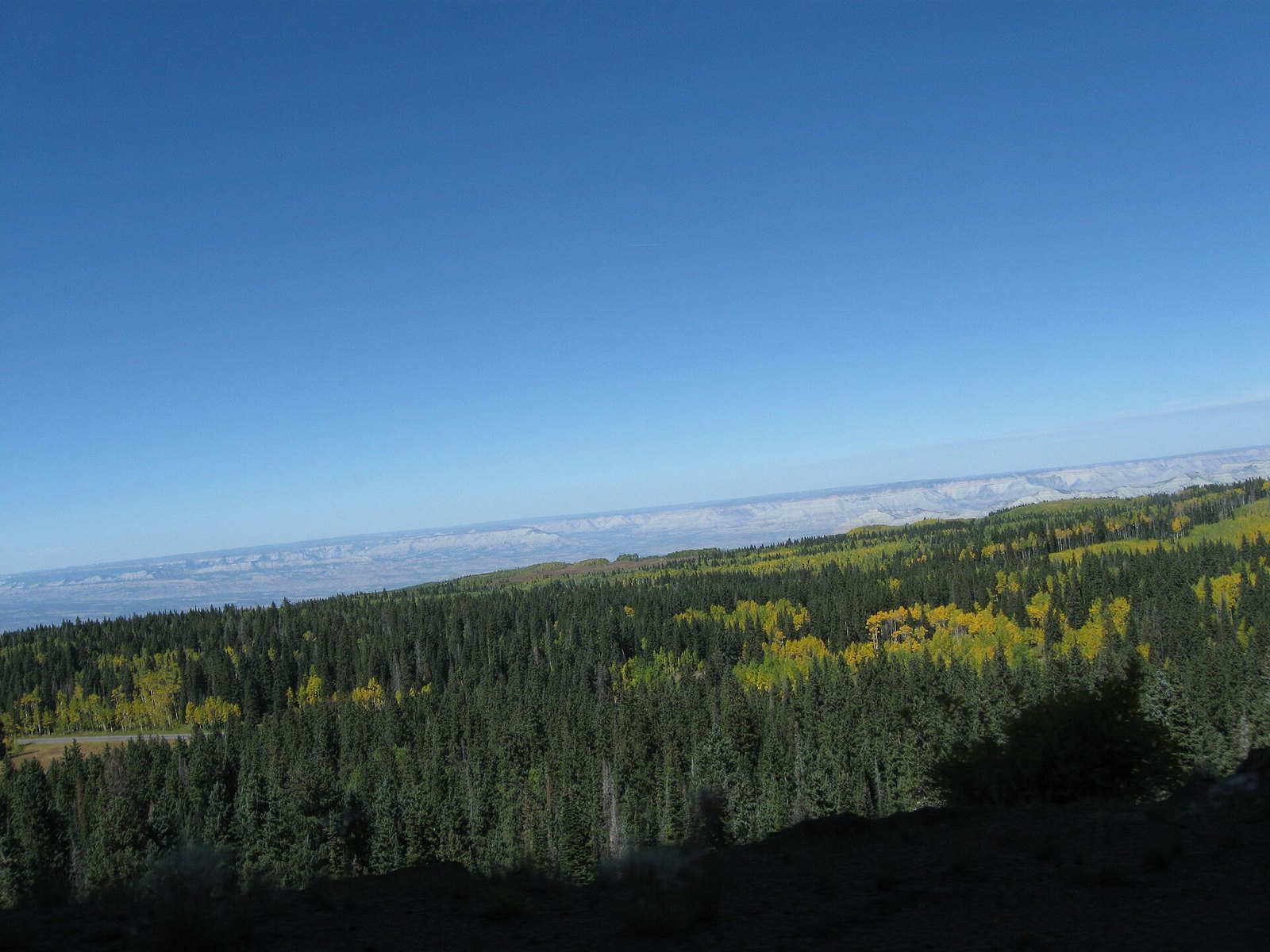 Plate CVIII
Grand Mesa
forestwestern Colorado, above the Grand Valley, Colorado
A forest that learned to live on a table.
39.0° N · 108.0° WOpen plate →
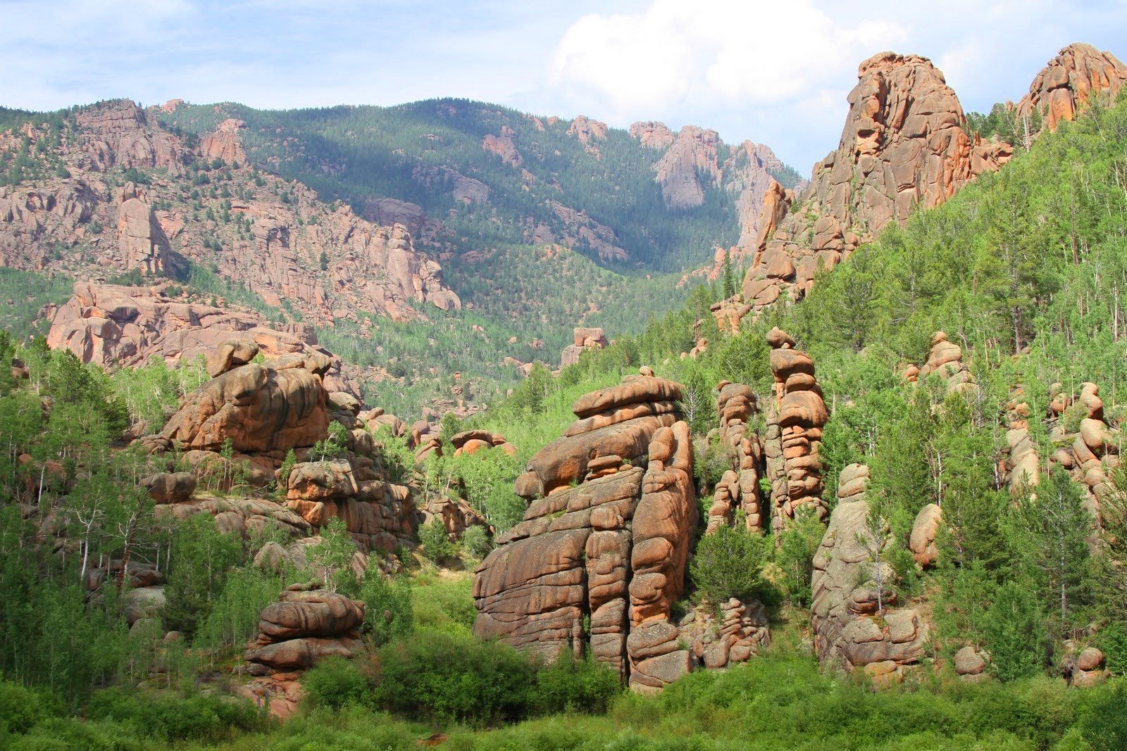 Plate CIX
Lost Creek Wilderness
forestPike National Forest, Front Range, Colorado
A wilderness that hides its own river.
39.3° N · 105.5° WOpen plate →
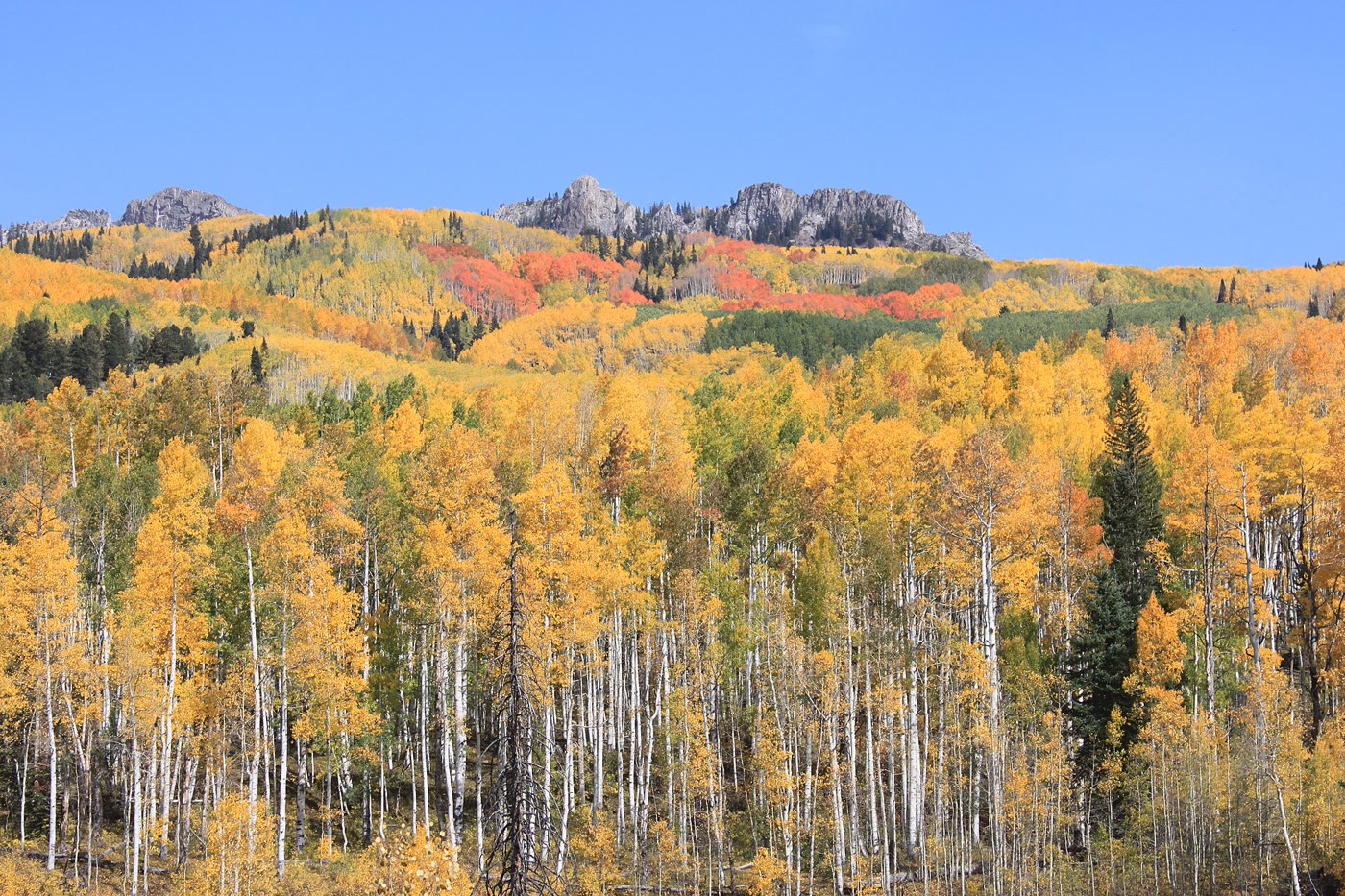 Plate CXCI
Kebler Pass
forestWest Elk Mountains, Colorado
A gold hillside the clones kept together.
38.9° N · 107.1° WOpen plate →
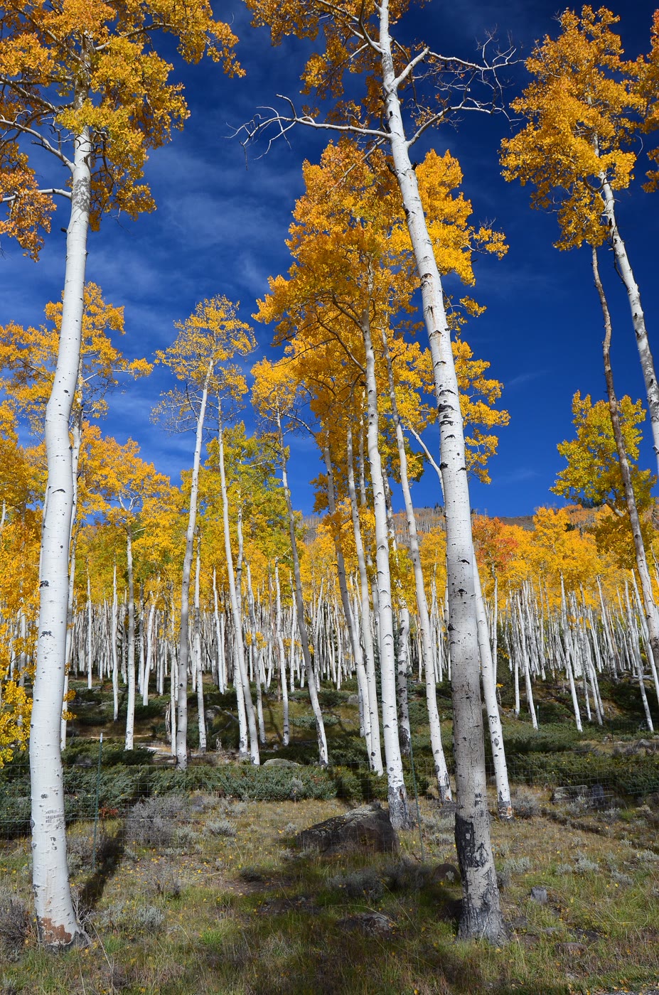 Plate CXCIV
Pando
forestFishlake National Forest, Utah
One tree that learned to be a forest.
38.5° N · 111.7° WOpen plate →
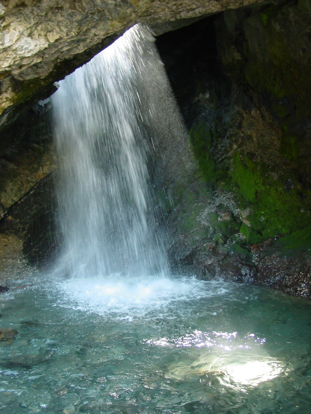 Plate CXCIX
Donut Falls
forestBig Cottonwood Canyon, Utah
A fall the rock learned to pour through a hole.
40.6° N · 111.7° WOpen plate →
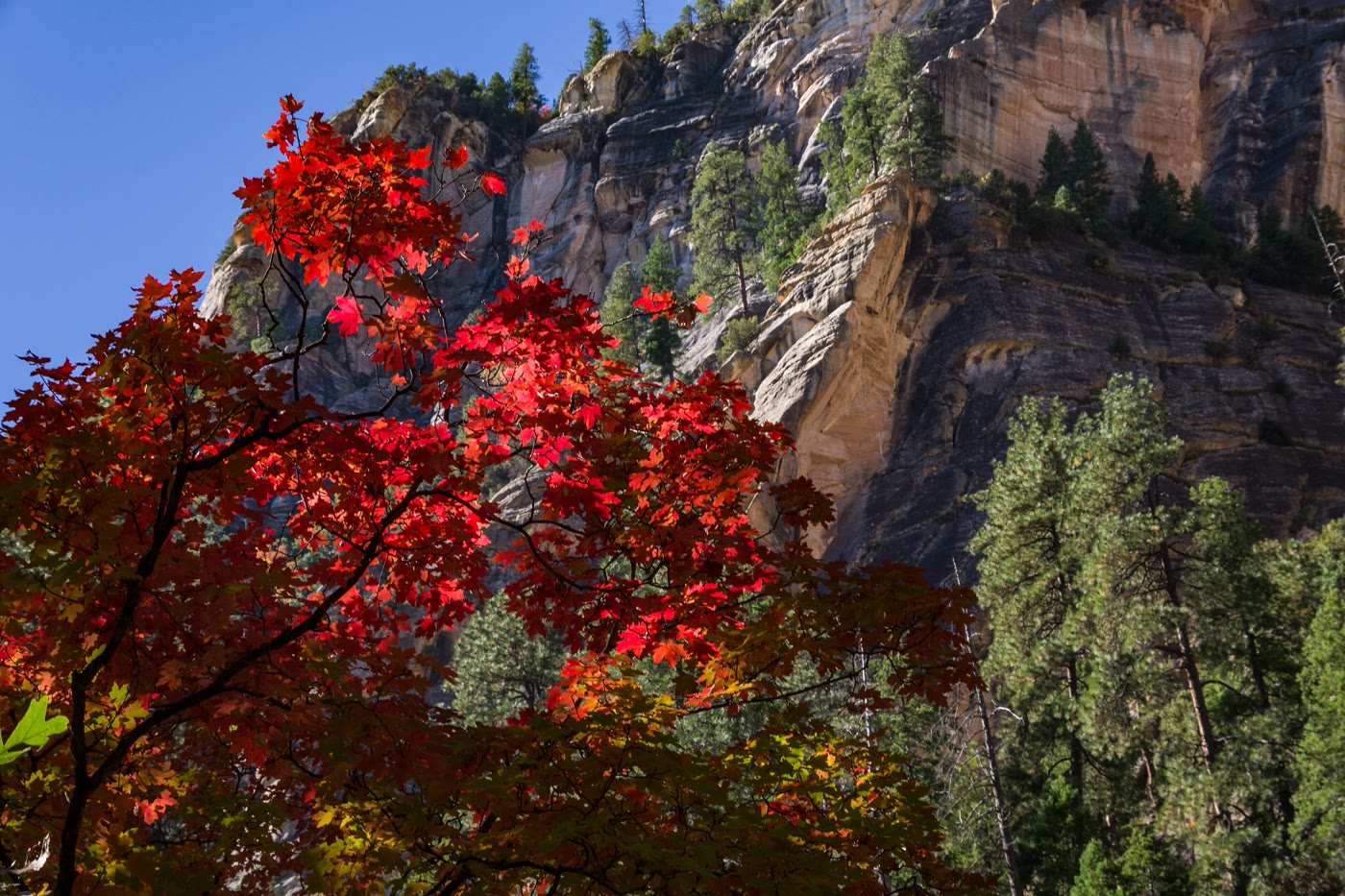 Plate CCXLII
Oak Creek Canyon
forestWest Fork, Coconino National Forest, Arizona
A gold corridor the creek kept under stone.
35.0° N · 111.7° WOpen plate →
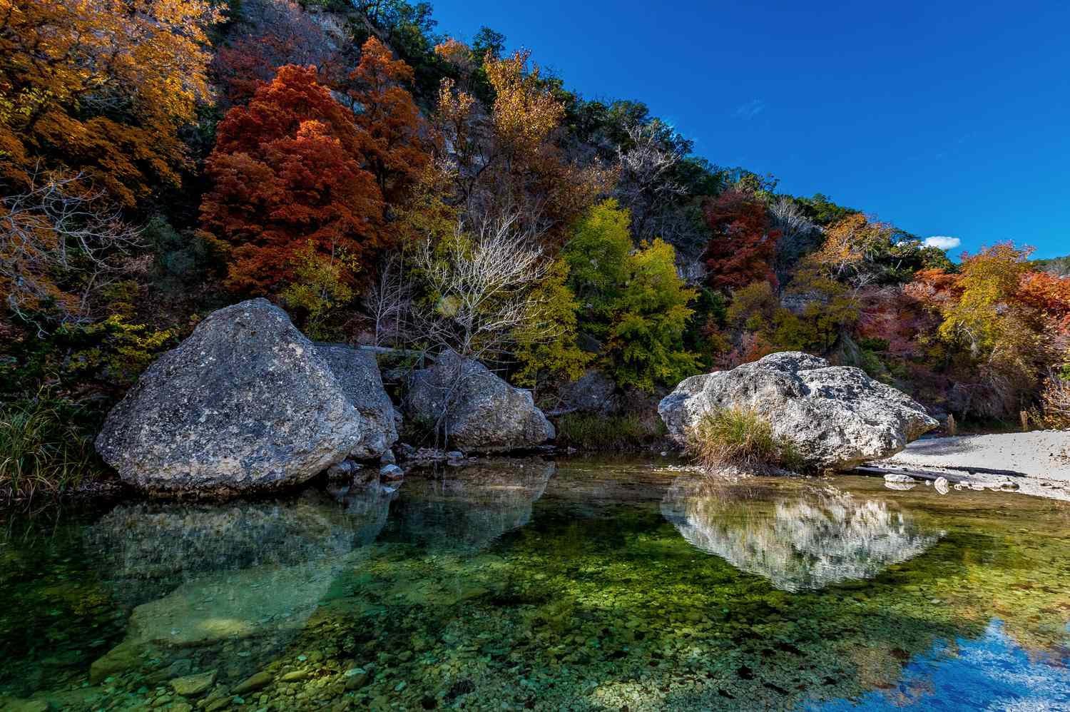 Plate CCXLIX
Lost Maples
forestEdwards Plateau, Bandera County, Texas
A Hill Country canyon that waits for October.
29.8° N · 99.6° WOpen plate →
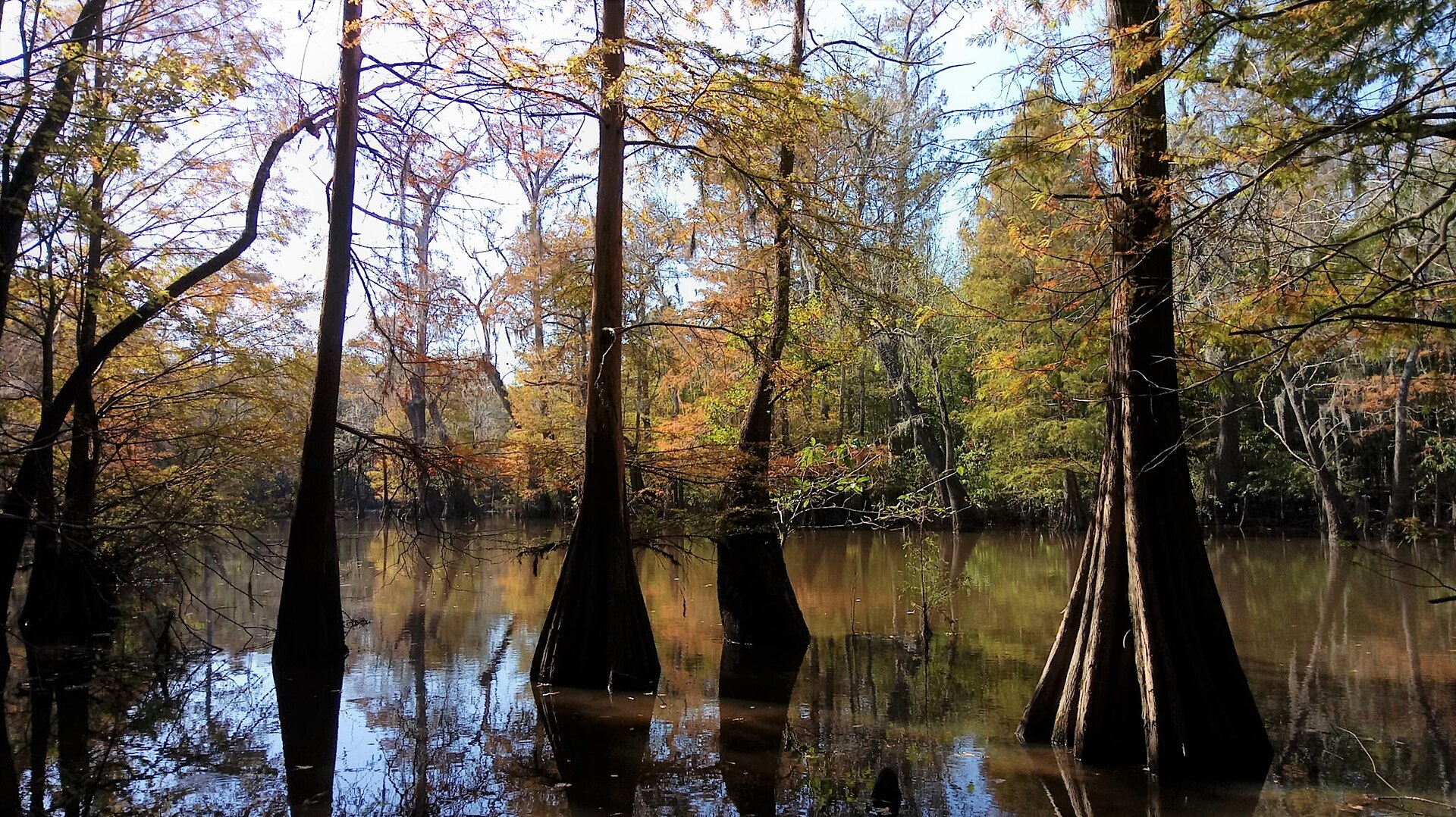 Plate CCLXI
Big Thicket
forestPineywoods, Texas
A cypress thicket the Pineywoods kept.
30.5° N · 94.3° WOpen plate →
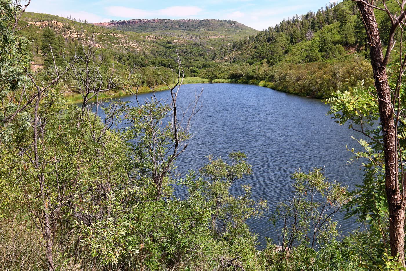 Plate CCLXXIII
Sugarite Canyon
forestRaton Mesa, Colfax County, New Mexico
A green canyon the mesa kept.
36.9° N · 104.4° WOpen plate →
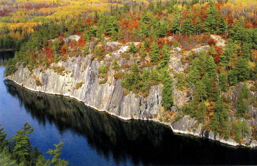 Plate CCCV
Voyageurs
forestKabetogama, Rainy, and Namakan lakes, Minnesota
A park you enter by water.
48.5° N · 92.8° WOpen plate →
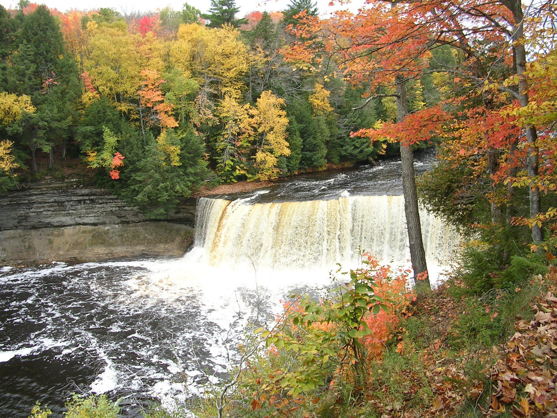 Plate CCCX
Tahquamenon Falls
forestTahquamenon Falls State Park, Upper Peninsula, Michigan
Root-tea water under an Upper Peninsula maple.
46.6° N · 85.3° WOpen plate →
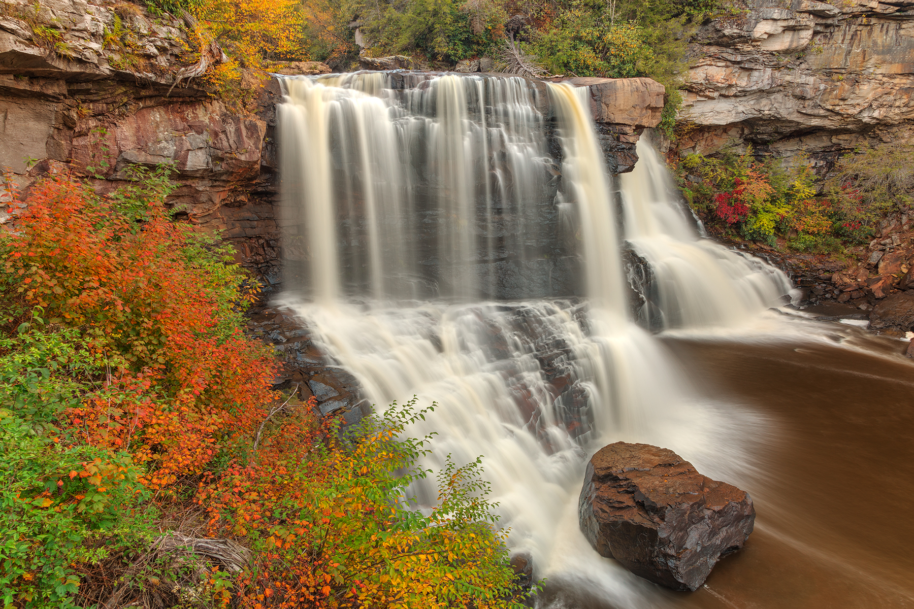 Plate CCCXIV
Blackwater Falls
forestBlackwater Falls State Park, Canaan Valley, West Virginia
Amber water over a Blackwater ledge in October.
39.1° N · 79.5° WOpen plate →
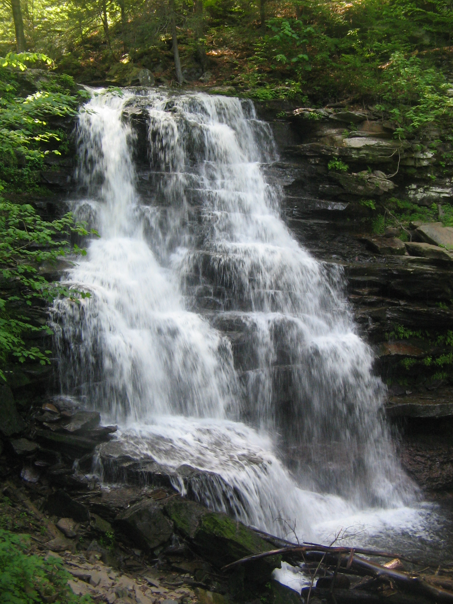 Plate CCCXV
Ricketts Glen
forestRicketts Glen State Park, Kitchen Creek, Pennsylvania
A hemlock stair of named falls.
41.3° N · 76.3° WOpen plate →
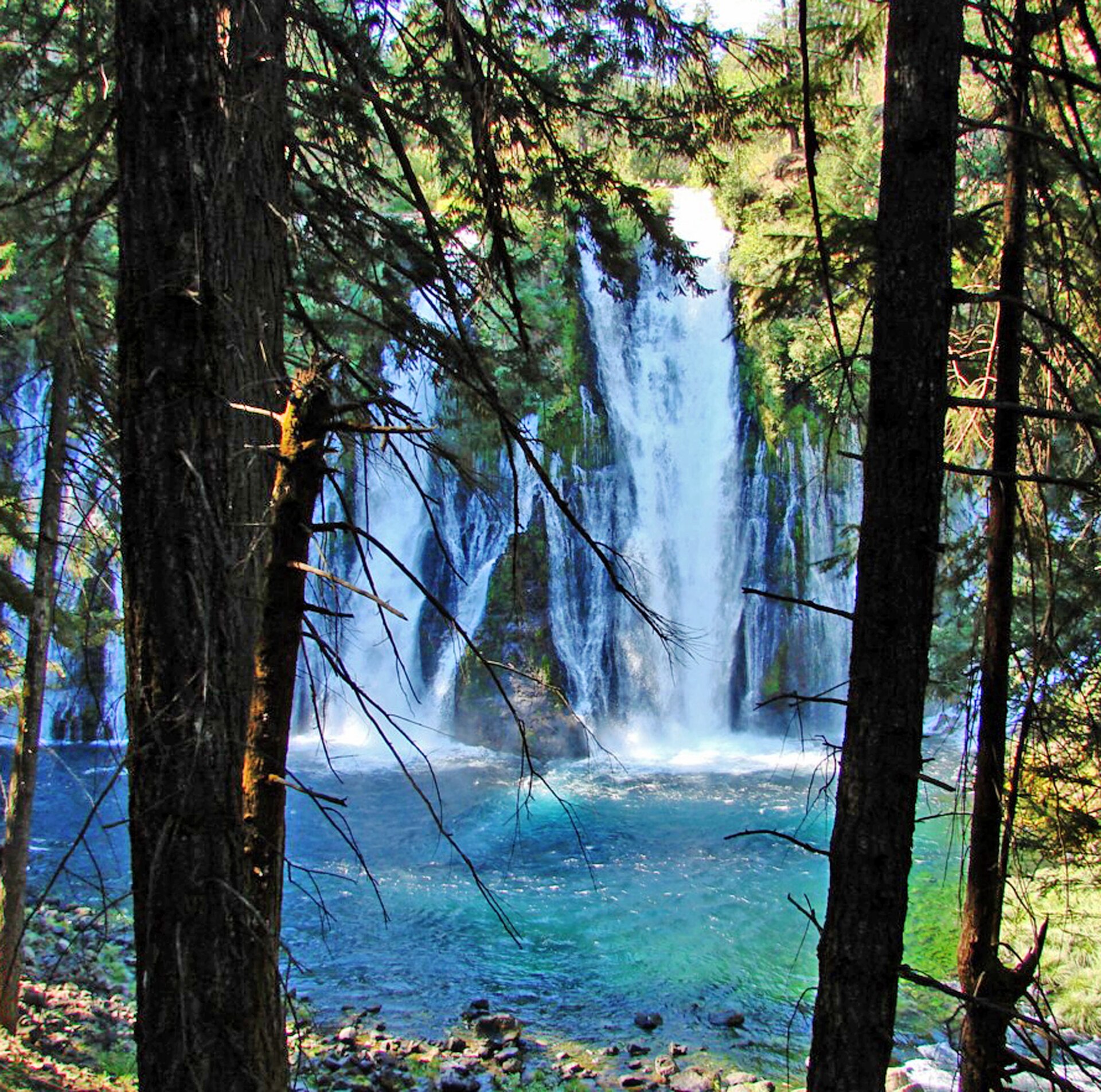 Plate CCCXX
Burney Falls
forestMcArthur-Burney Falls Memorial State Park, California
Spring water falling into a teal bowl.
41.0° N · 121.7° WOpen plate →
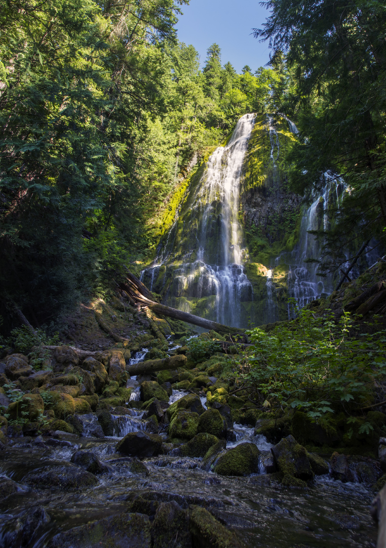 Plate CCCXXI
Proxy Falls
forestThree Sisters Wilderness, Willamette NF, Oregon
White threads on a green lava wall.
44.2° N · 121.9° WOpen plate →
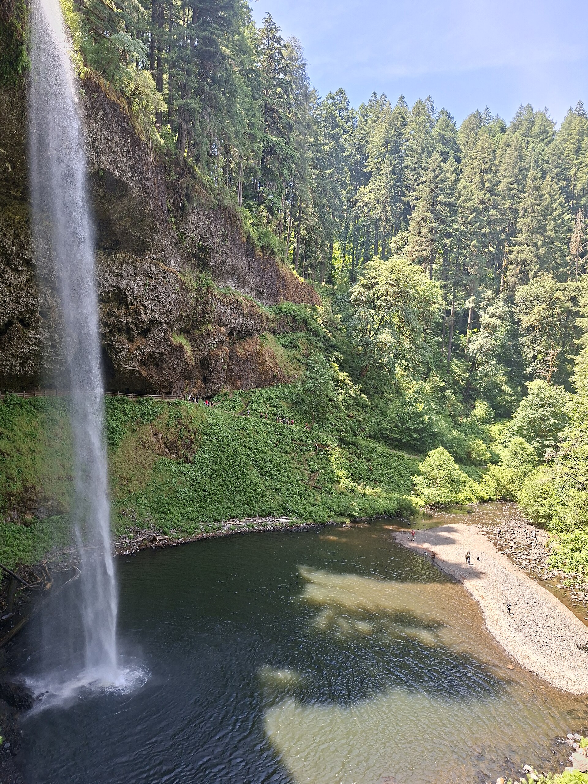 Plate CCCXXII
Silver Falls
forestSilver Falls State Park, near Silverton, Oregon
A long white drop into a fir canyon.
44.9° N · 122.7° WOpen plate →
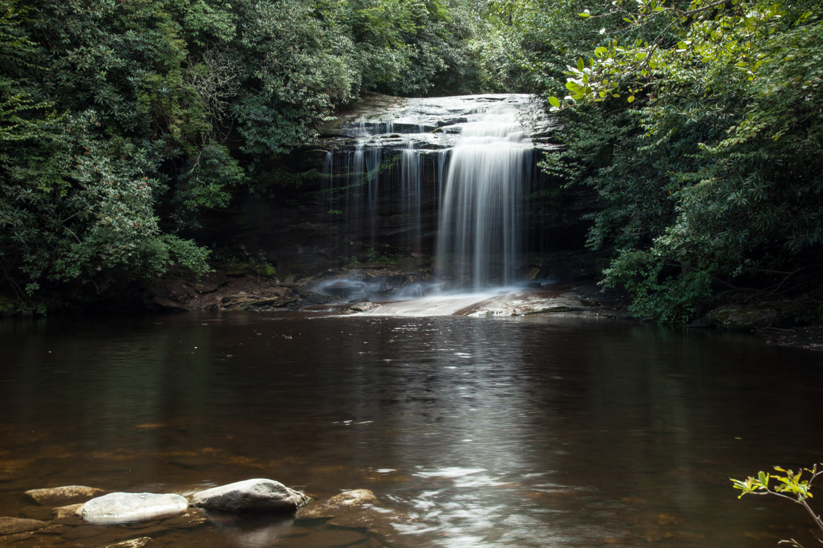 Plate CCCXL
Panthertown Valley
forestNantahala National Forest, Jackson County, North Carolina
A granite valley the highway never enters.
35.2° N · 83.0° WOpen plate →
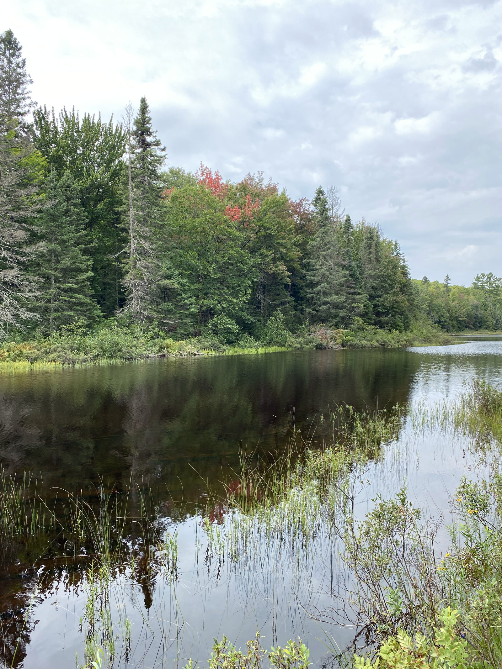 Plate CCCXLII
McCormick Wilderness
forestLower Baraga Lake, Ottawa National Forest, Michigan
A quiet Ottawa lake under early color.
46.7° N · 88.0° WOpen plate →
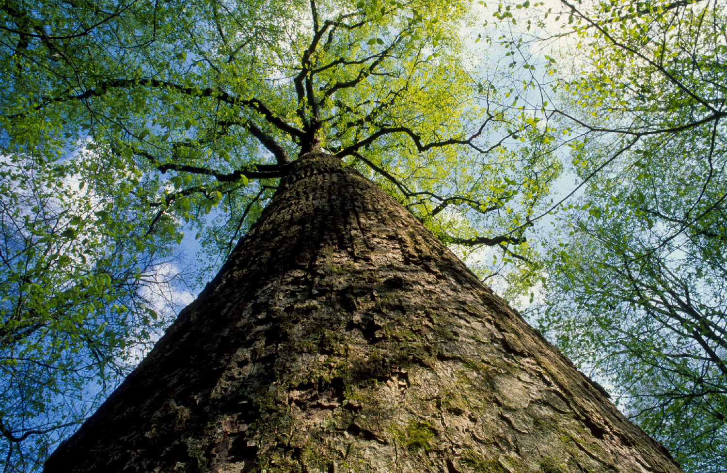 Plate CCCXLV
Joyce Kilmer Memorial Forest
forestNantahala National Forest, Graham County, North Carolina
Old poplar the East still has in one grove.
35.4° N · 83.9° WOpen plate →
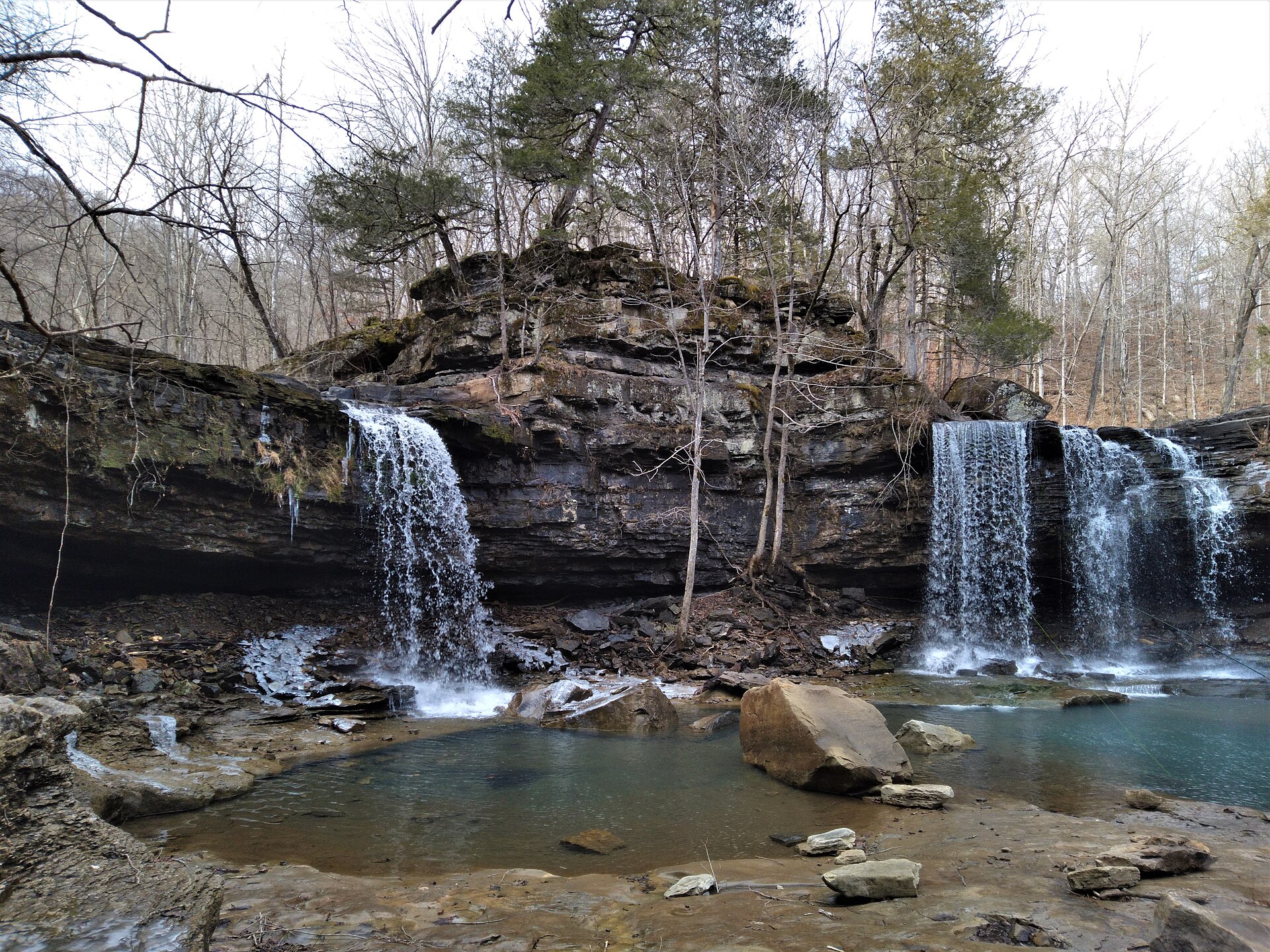 Plate CCCXLVIII
Richland Creek
forestOzark National Forest, Newton County, Arkansas
Twin Falls in a quiet Ozark creek.
35.9° N · 93.4° WOpen plate →
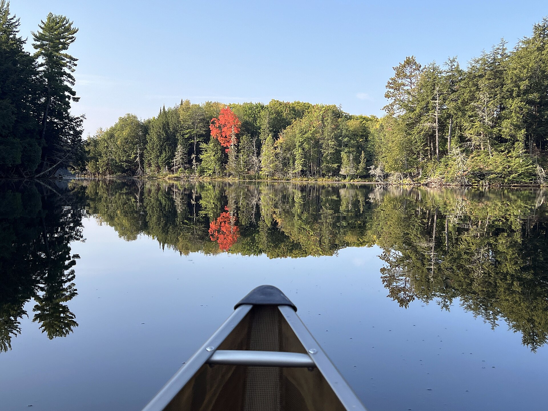 Plate CCCLXII
Sylvania Wilderness
forestOttawa National Forest, Gogebic County, Michigan
Canoe water in old Ottawa woods.
46.2° N · 89.3° WOpen plate →
Asked at the trailhead
Questions already asked
- Where can I see old-growth forest in the United States?
- The Pacific coast holds the best-known redwood and fir groves. Eastern plates add hardwood gorges. Texas adds Lost Maples and Big Thicket Pineywoods. Open the forest index to compare both coasts.
Change course