The Field Atlas
0/363Sky country
Plains destinations in the USA
The plains are the American distance. Last tallgrass, Dakota and southern national grasslands, Kansas chalk, coastal prairie, badlands, and lonely granite break the grass like islands.

FrontispieceBadlands, South Dakota
These plates are for people who want sky more than a summit.
- Plates
- 21
- States
- 8
Plains
The plates
Plate XLVIIBadlands
hillsWhite River drainage, South Dakota
A prairie that has been taken apart and left in piles.
43.9° N · 102.3° WOpen plate →
 Plate LXV
The Needles, Black Hills
hillsNeedles Highway, Custer State Park, South Dakota
A granite forest the plains were not supposed to have.
43.8° N · 103.5° WOpen plate →
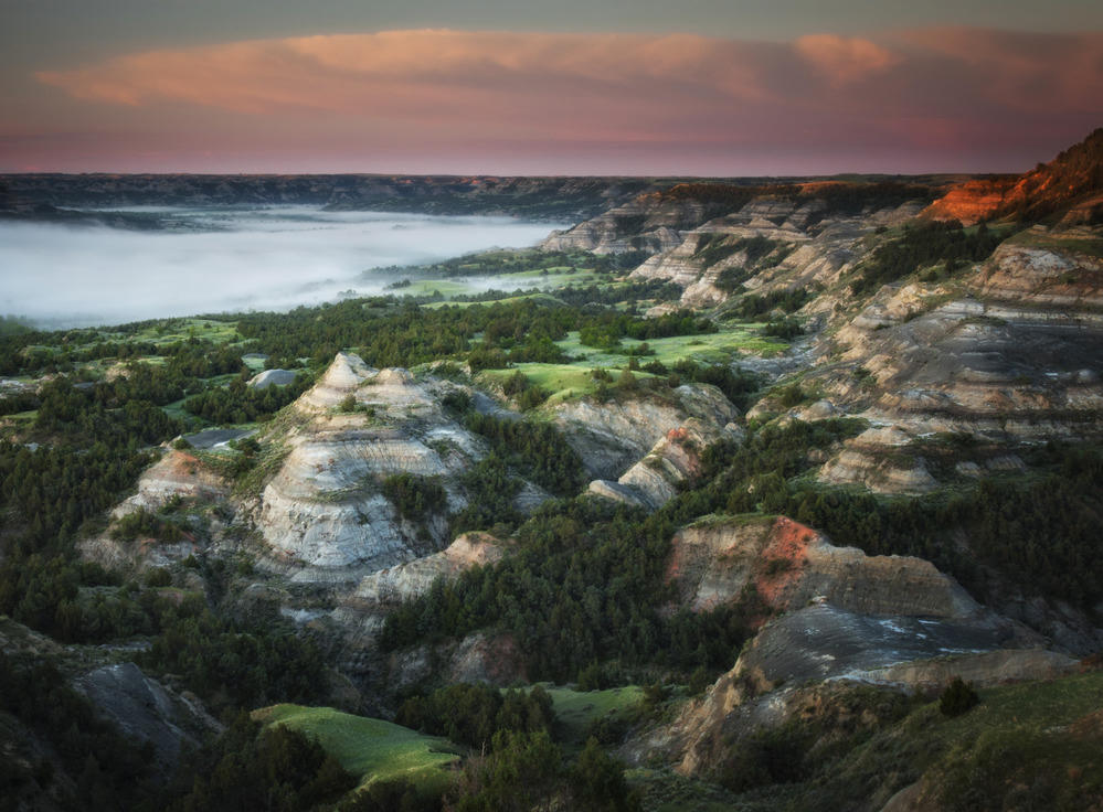 Plate LXVI
Theodore Roosevelt National Park
hillsSouth Unit near Medora; North Unit on the river, North Dakota
The national park that holds the painted river — two units, one ranch, still wearing grass.
47.0° N · 103.5° WOpen plate →
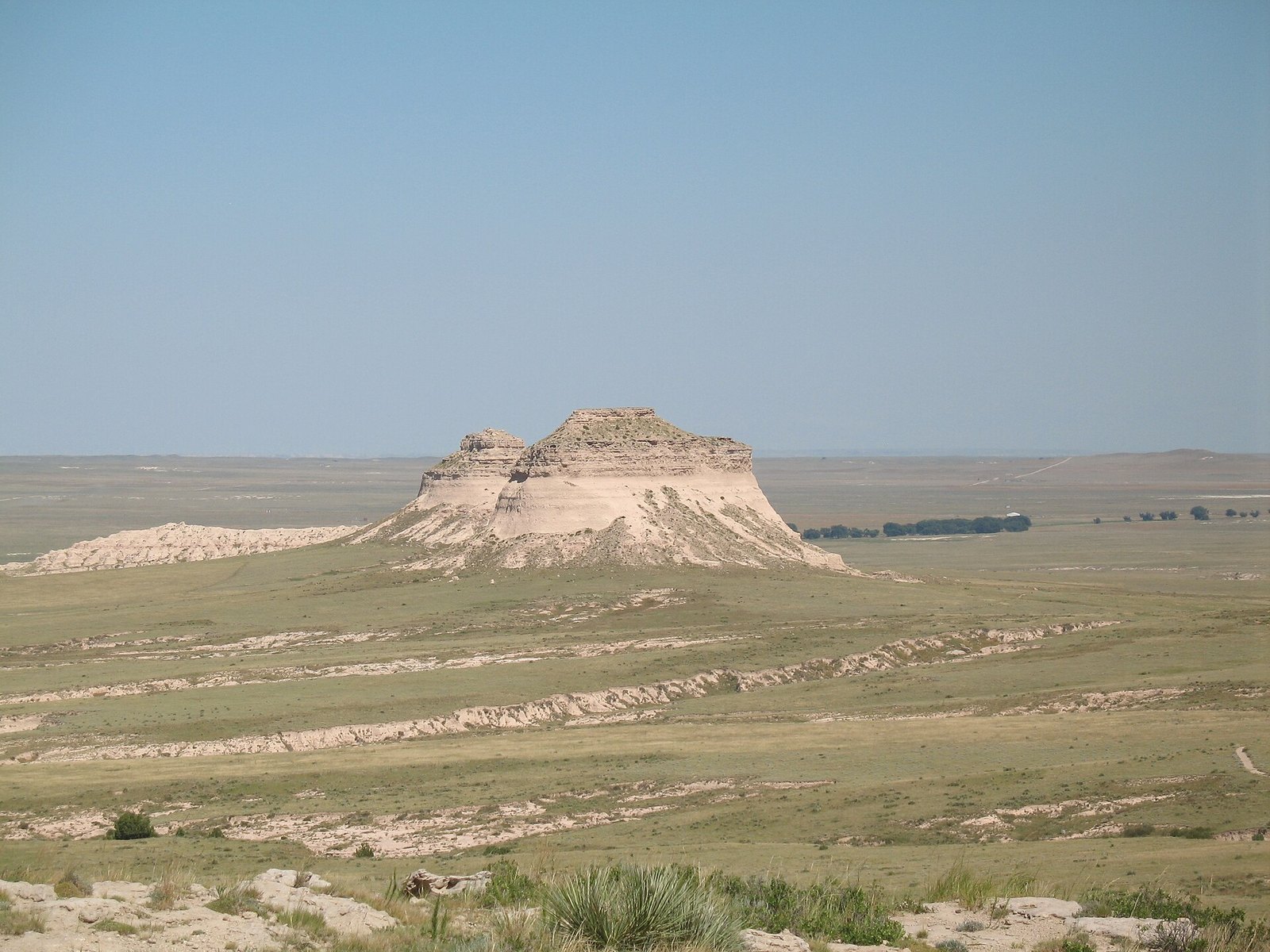 Plate CV
Pawnee Buttes
hillsPawnee National Grassland, Colorado
Two hills the plains forgot to flatten.
40.8° N · 104.0° WOpen plate →
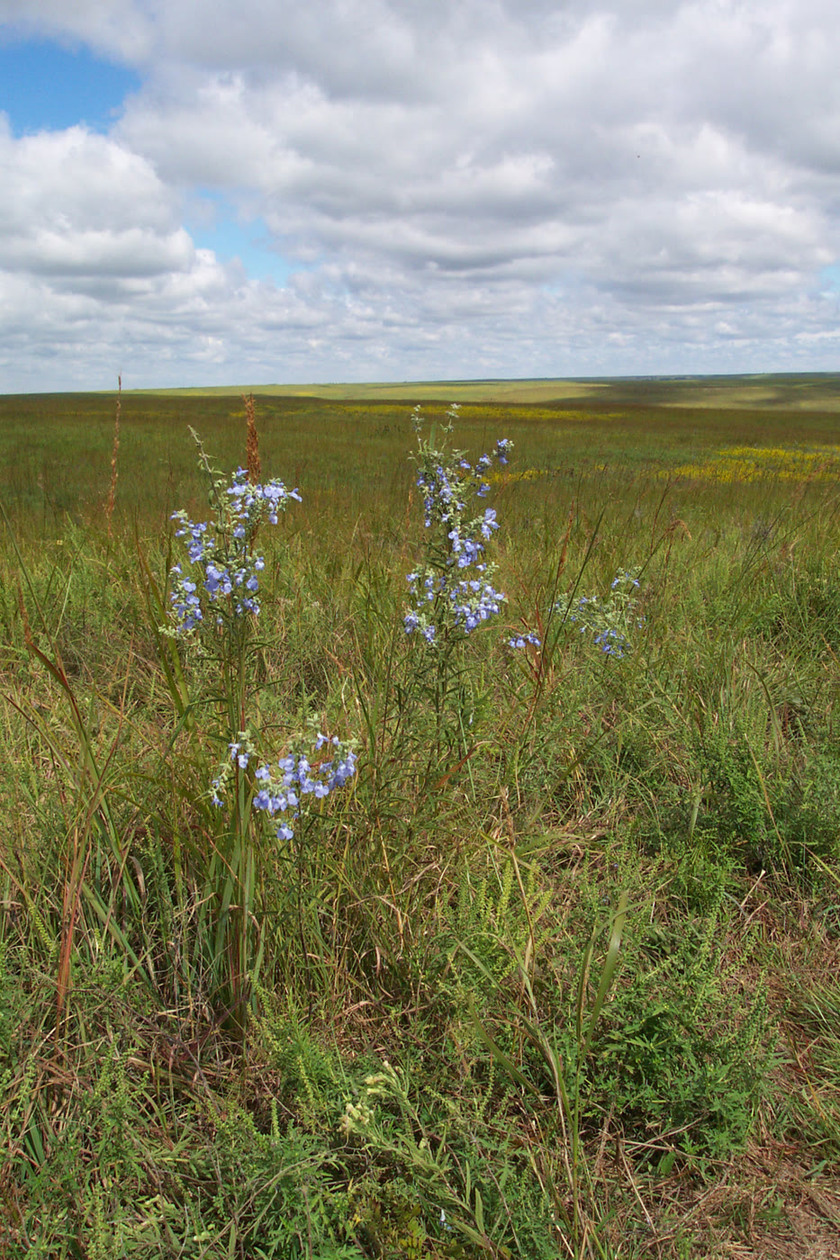 Plate CLIII
Tallgrass Prairie National Preserve
prairieFlint Hills, Chase County, Kansas
A sea of grass the plow never reached.
38.4° N · 96.6° WOpen plate →
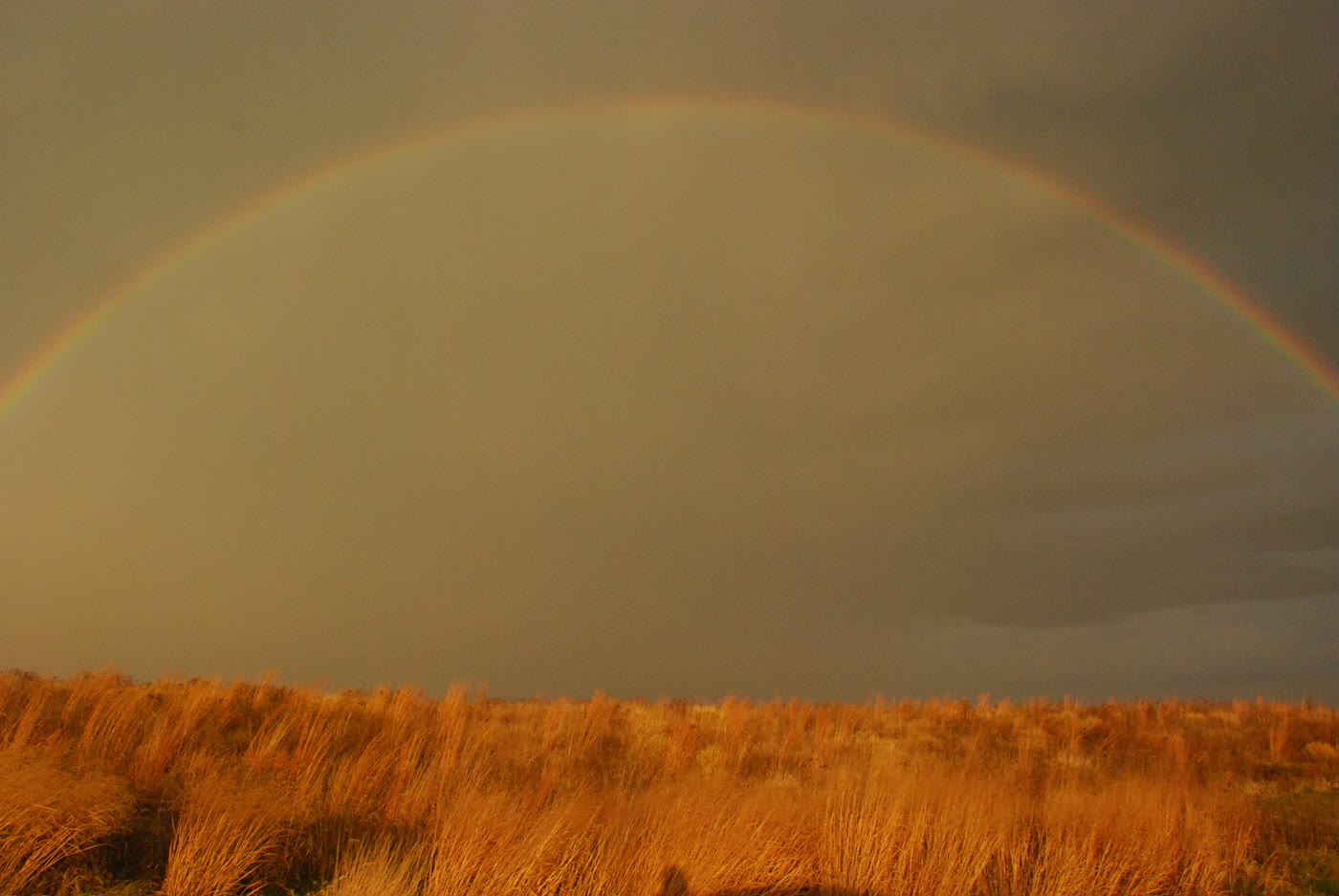 Plate CLIV
Neal Smith National Wildlife Refuge
prairiePrairie City, Jasper County, Iowa
Iowa’s reconstructed sea of grass.
41.6° N · 93.3° WOpen plate →
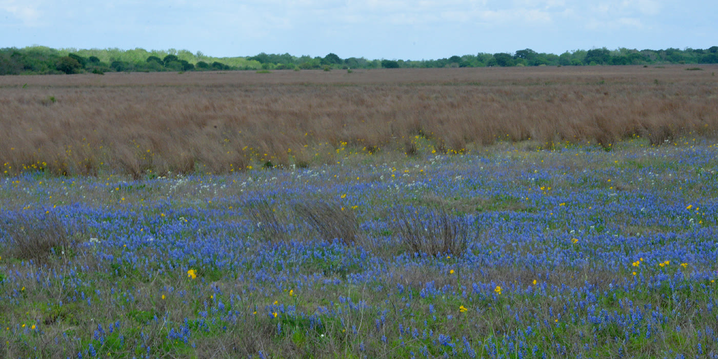 Plate CLVII
Attwater Prairie Chicken National Wildlife Refuge
prairieColorado County, near Eagle Lake, Texas
Coastal grassland kept for a bird that almost vanished.
29.7° N · 96.3° WOpen plate →
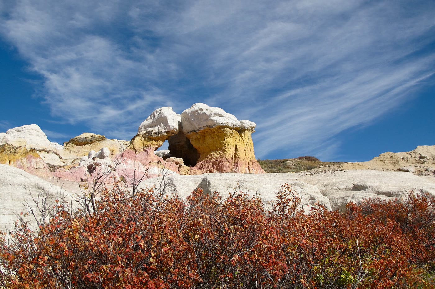 Plate CXCIII
Paint Mines
hillsInterpretive Park, Calhan, Colorado
Color the prairie left standing as towers.
39.0° N · 104.3° WOpen plate →
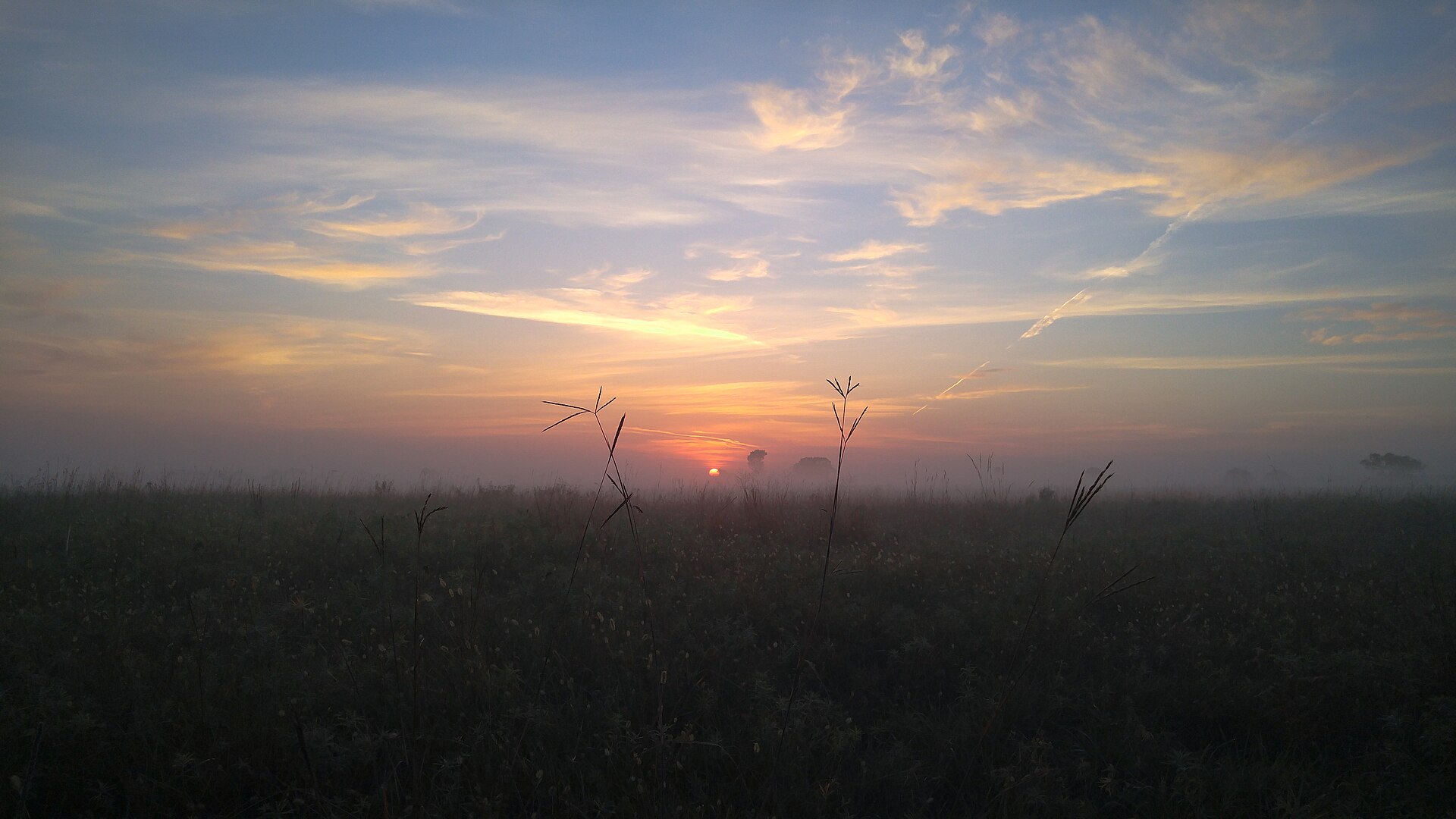 Plate CCLIII
Sheyenne National Grassland
prairiesoutheastern North Dakota, near Lisbon, North Dakota
Oak and tallgrass the plow left standing.
46.4° N · 97.3° WOpen plate →
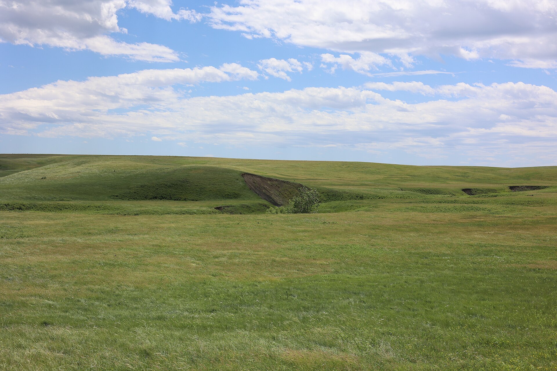 Plate CCLIV
Fort Pierre National Grassland
prairieMissouri River, near Fort Pierre, South Dakota
A mixed-grass sea the river towns forgot.
44.1° N · 100.3° WOpen plate →
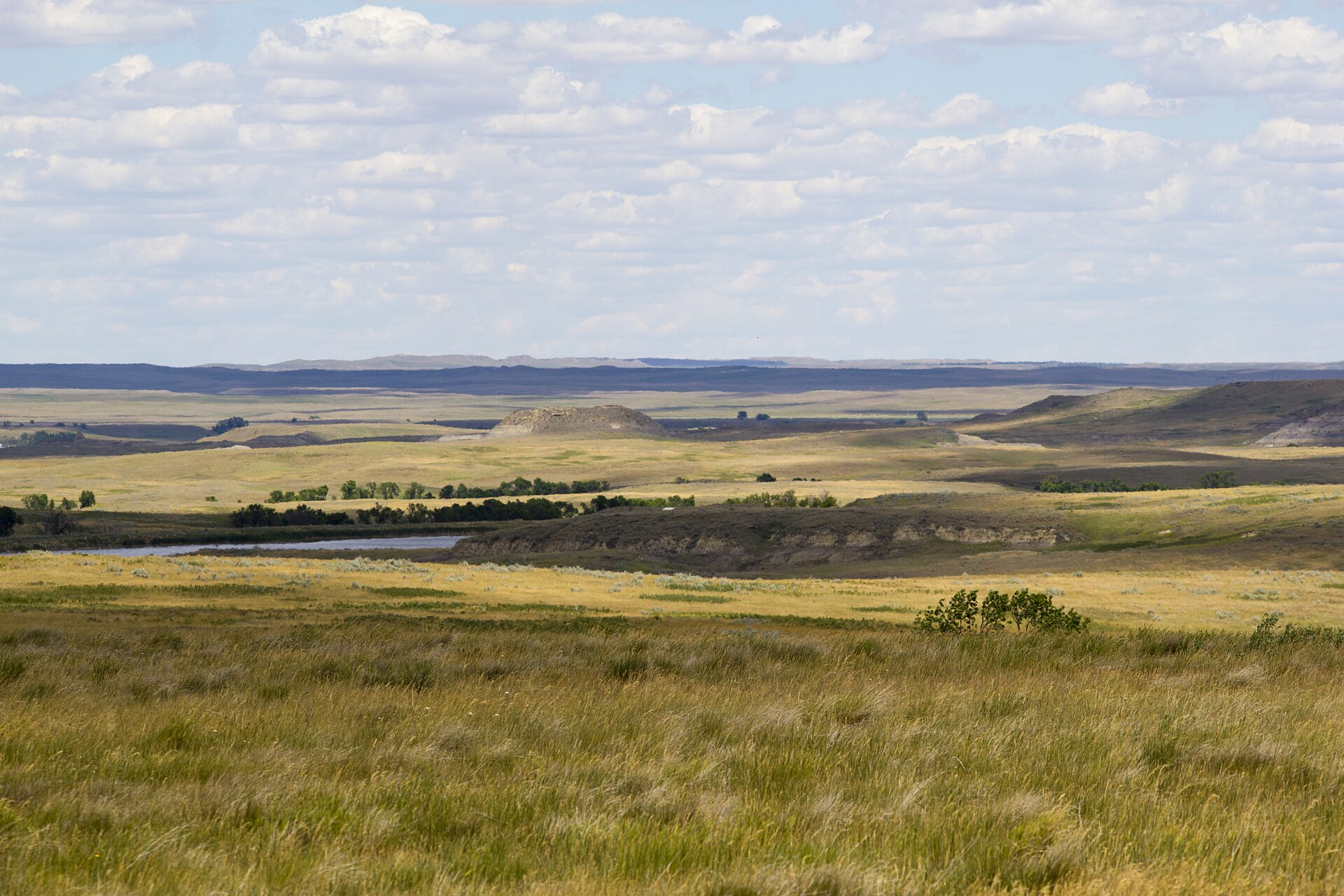 Plate CCLV
Grand River National Grassland
prairienorthwestern South Dakota, near Lemmon, South Dakota
Prairie and low buttes the buses never learned.
45.7° N · 102.4° WOpen plate →
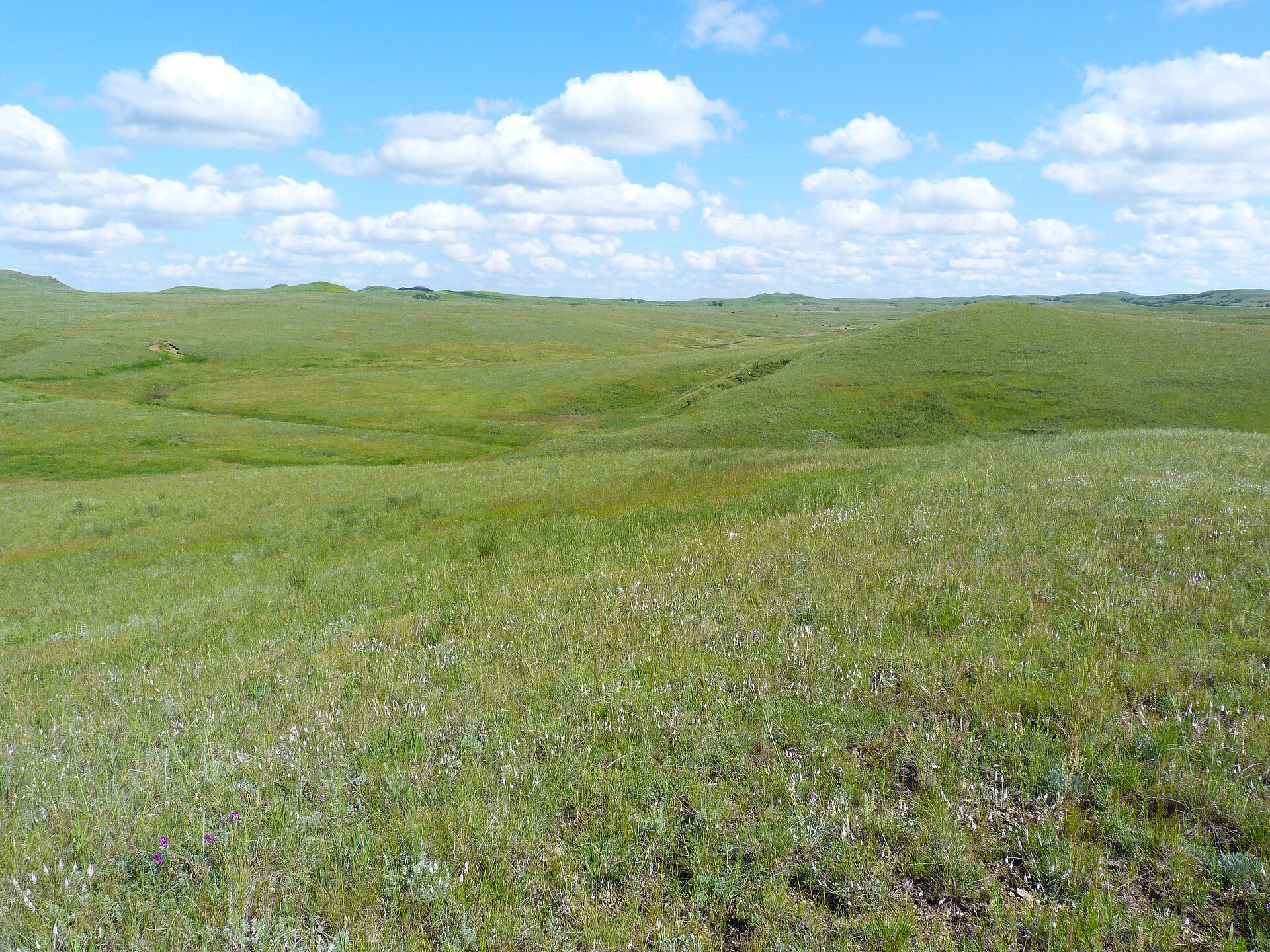 Plate CCLVI
Cedar River National Grassland
prairiesouthwestern North Dakota, near Selfridge, North Dakota
The quieter sister of the Grand River grass.
46.0° N · 101.8° WOpen plate →
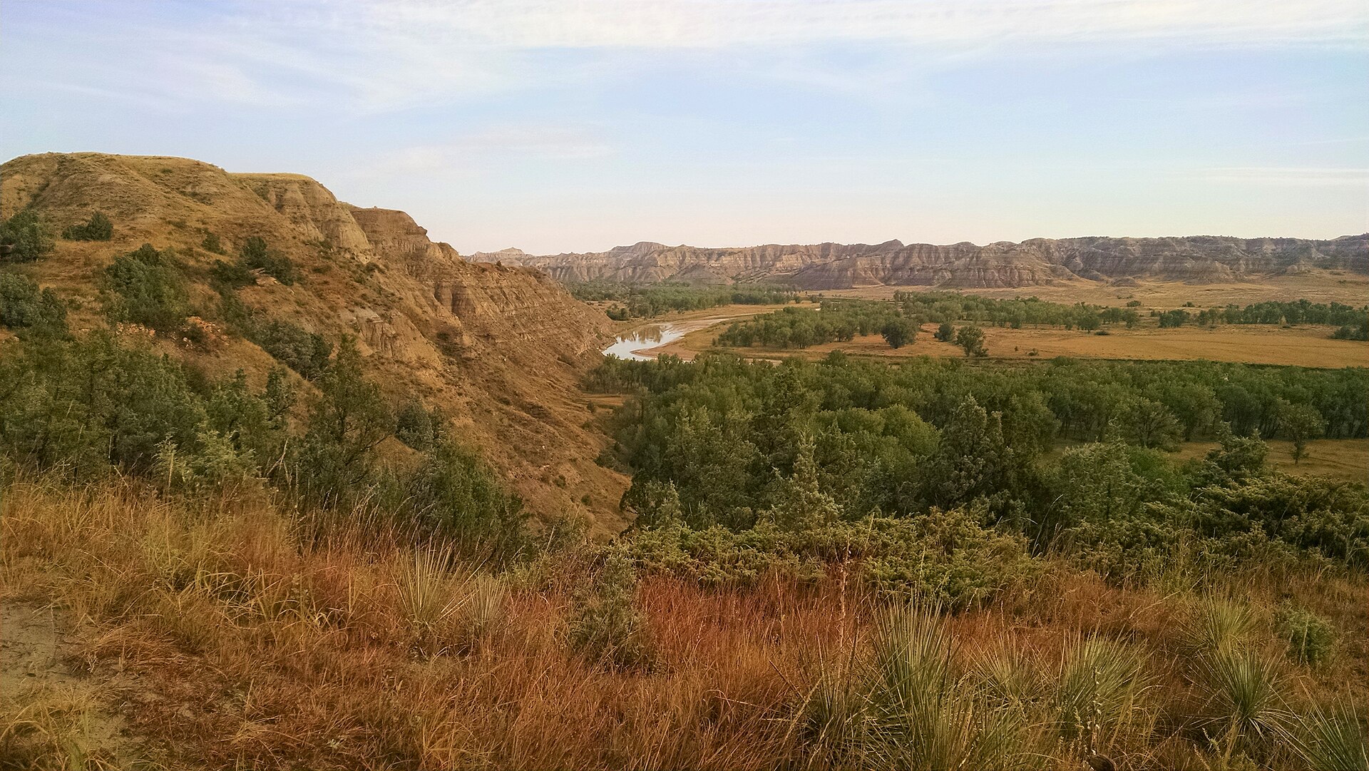 Plate CCLVII
Little Missouri National Grassland
hillsBurnt Hills, McKenzie County, North Dakota
The grassland that wears the park’s same paint.
48.1° N · 103.1° WOpen plate →
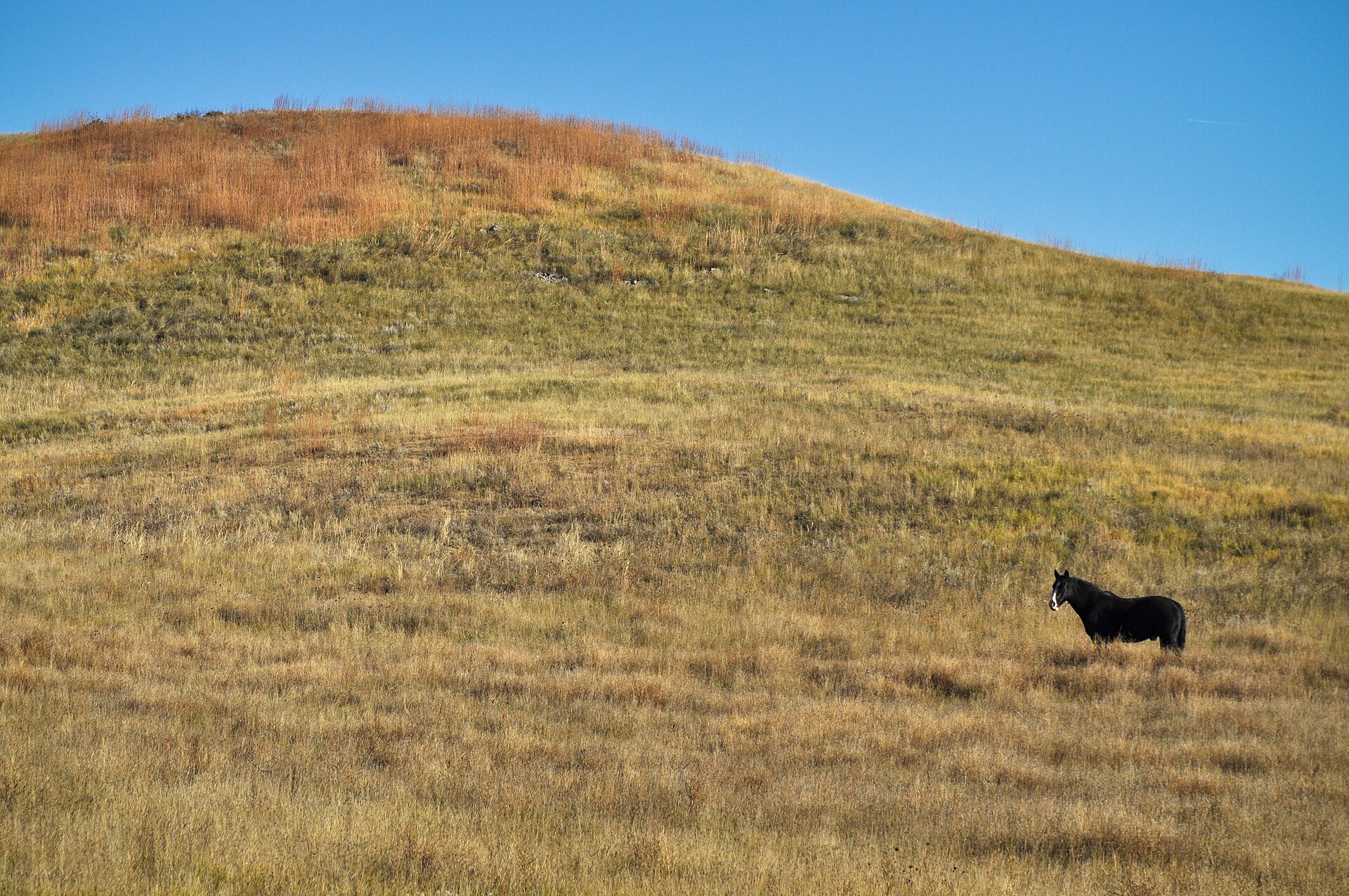 Plate CCLIX
Buffalo Gap National Grassland
hillssouthwestern South Dakota, near Wall, South Dakota
The grass that walks up to the Badlands and stops.
43.8° N · 102.2° WOpen plate →
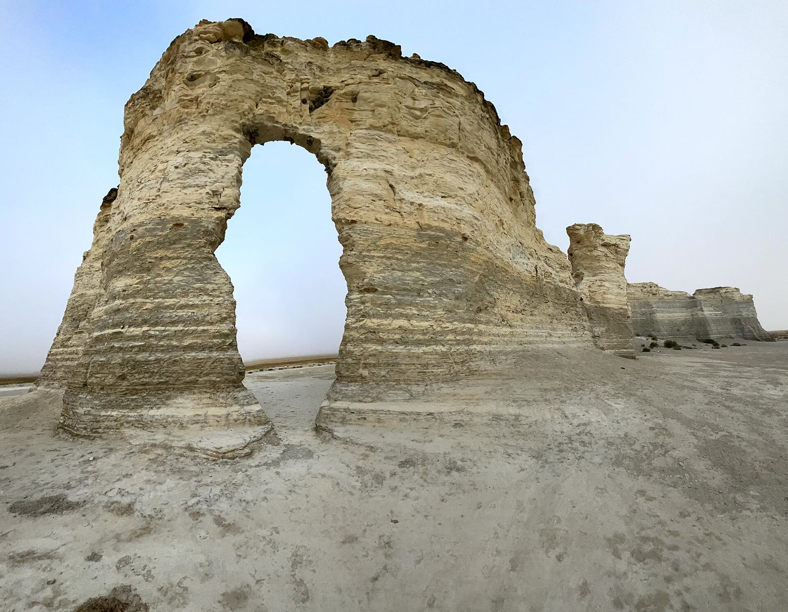 Plate CCLXIII
Little Jerusalem Badlands
prairieSmoky Hill chalk, Logan County, Kansas
A chalk city the prairie hid.
38.8° N · 100.9° WOpen plate →
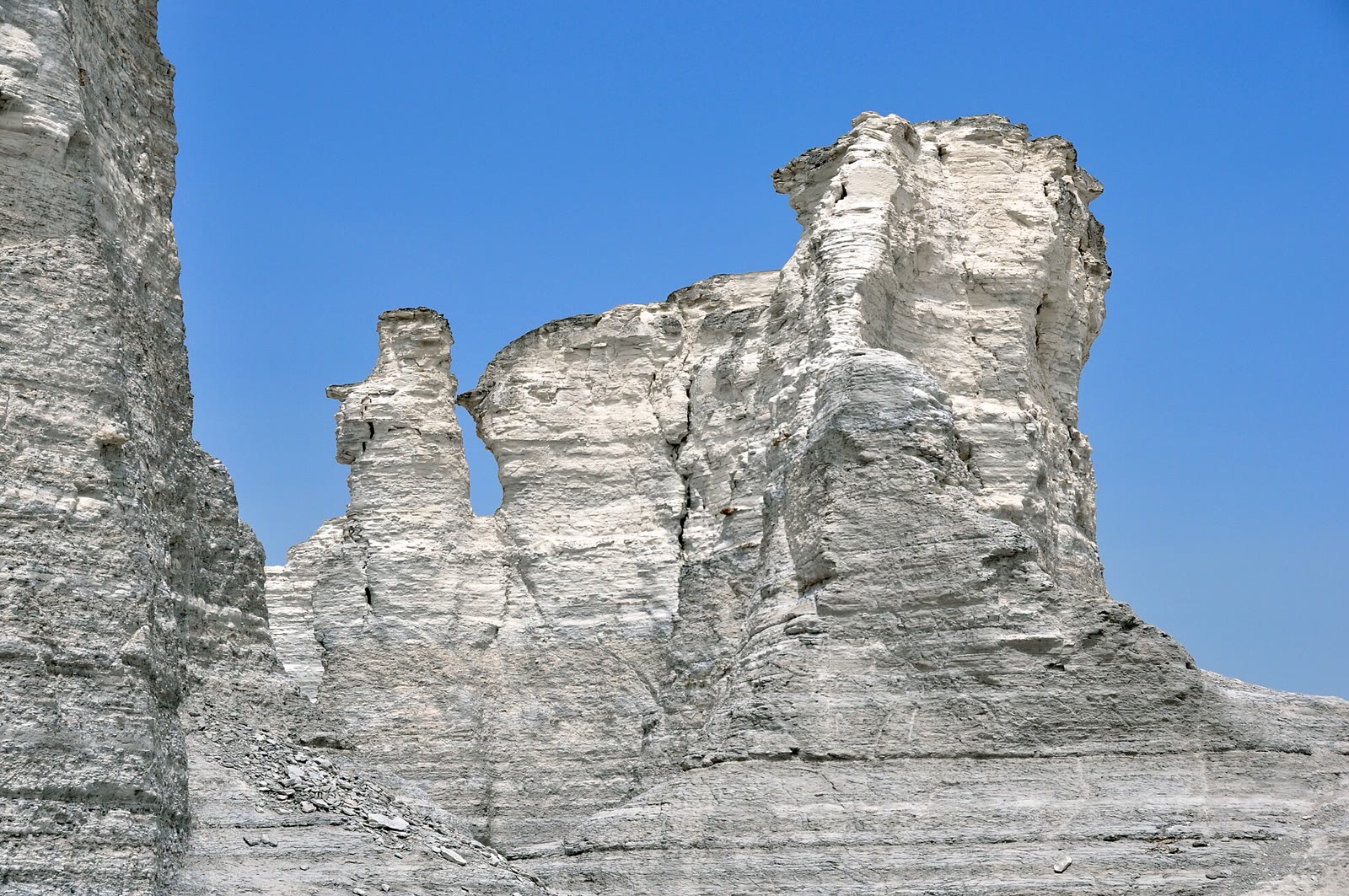 Plate CCLXIV
Monument Rocks
prairieChalk Pyramids, Gove County, Kansas
Chalk pyramids the wheat country forgot.
38.8° N · 100.8° WOpen plate →
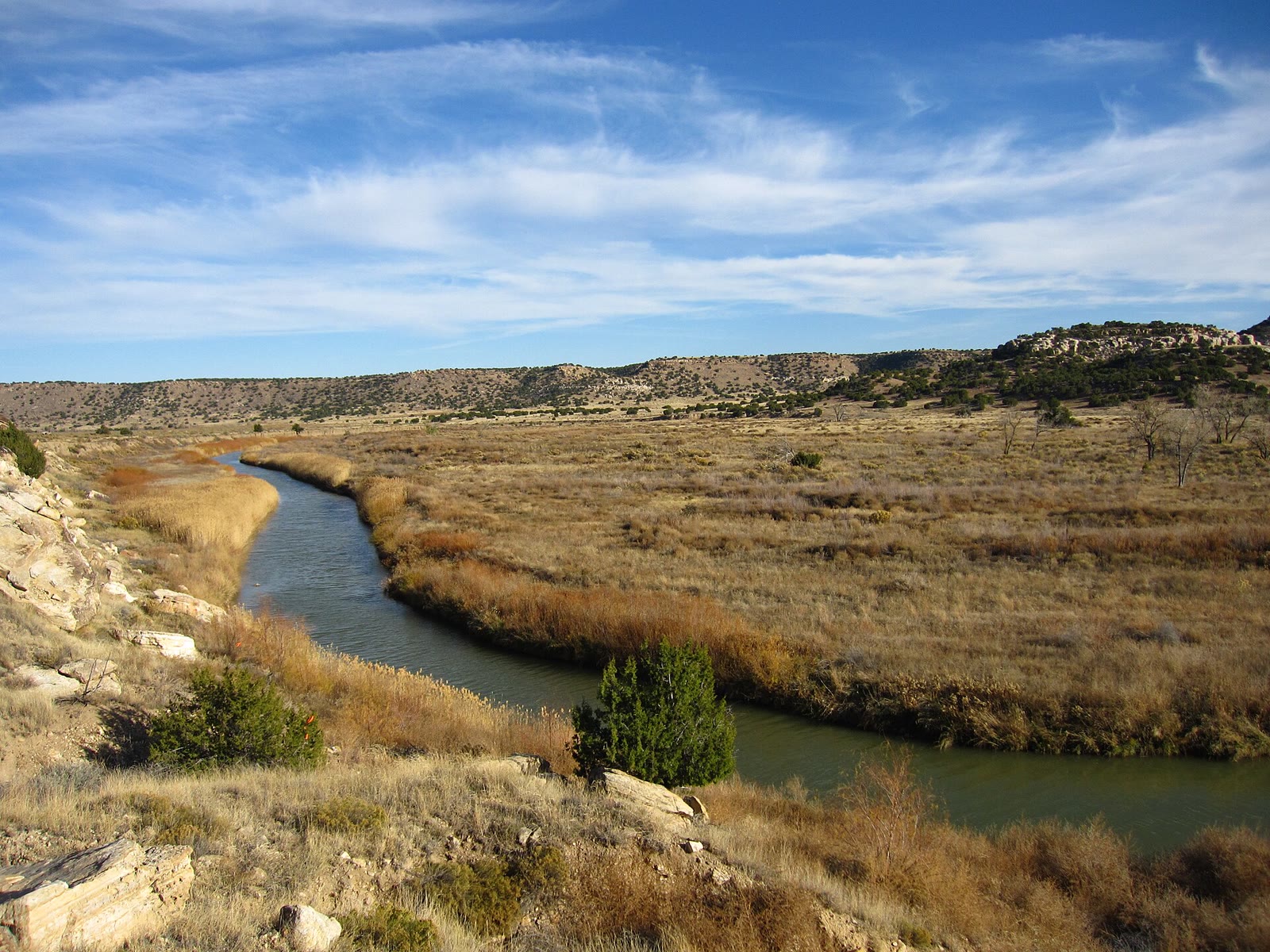 Plate CCLXV
Comanche National Grassland
prairiePicketwire Canyon, Las Animas County, Colorado
Prairie that opens a canyon the plains hid.
37.7° N · 104.0° WOpen plate →
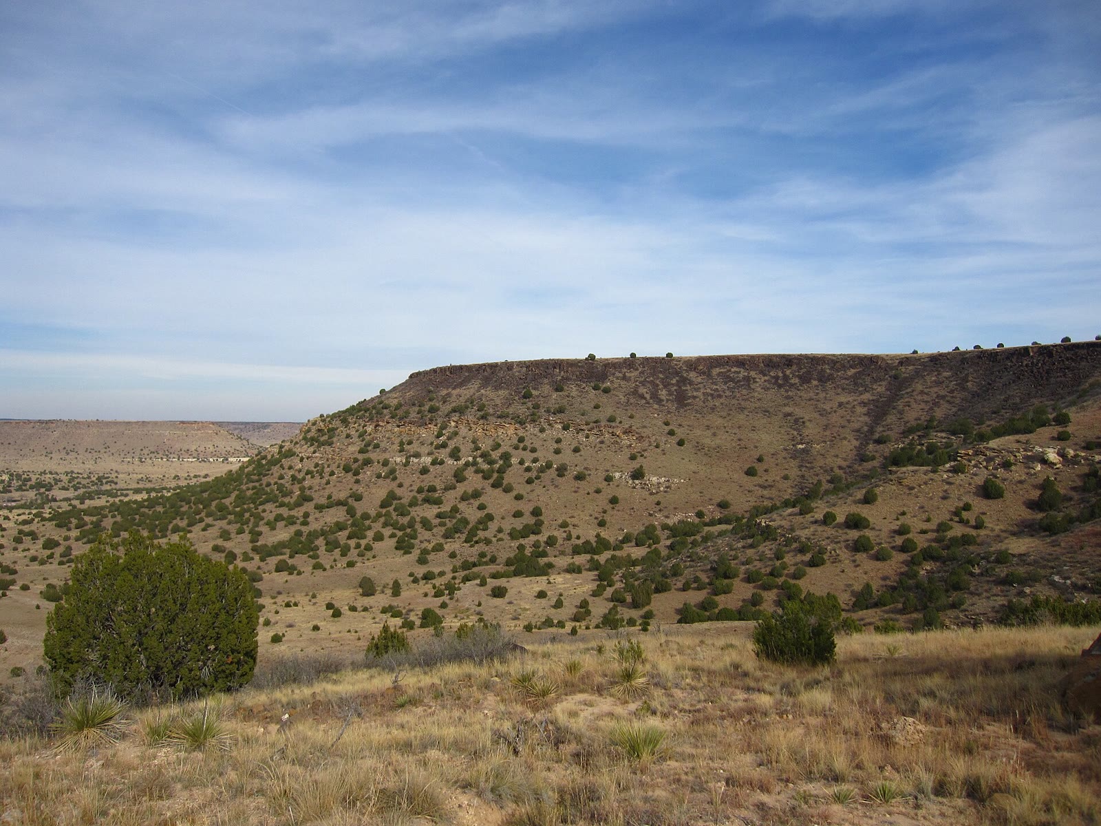 Plate CCLXVII
Black Mesa
hillsOklahoma Panhandle, Cimarron County, Oklahoma
Oklahoma’s last mesa, still wearing grass.
36.9° N · 103.0° WOpen plate →
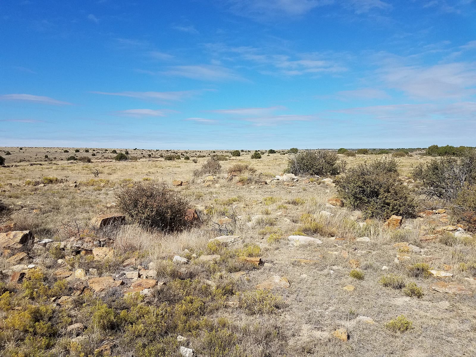 Plate CCLXIX
Cimarron National Grassland
prairieHigh Plains, Morton County, Kansas
Kansas grass that still remembers a trail.
37.1° N · 101.9° WOpen plate →
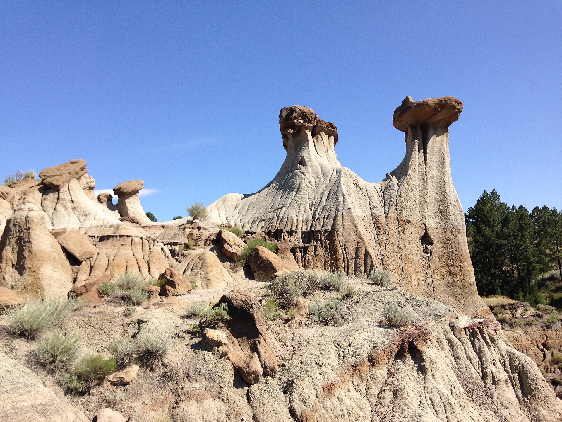 Plate CCCII
Makoshika
hillsHell Creek badlands, east of Glendive, Montana
Pale hoodoos over sage and a hard Montana sky.
47.1° N · 104.7° WOpen plate →
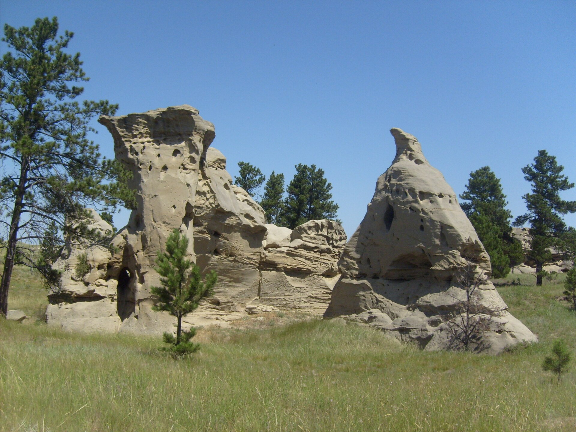 Plate CCCIII
Medicine Rocks
hillsMedicine Rocks State Park, near Ekalaka, Montana
Honeycombed sandstone rising from shortgrass.
46.0° N · 104.4° WOpen plate →
Asked at the trailhead
Questions already asked
- What is there to see on a Great Plains trip?
- Tallgrass Prairie National Preserve, Sheyenne and the other Dakota national grasslands, Comanche, Cimarron, Kansas chalk at Little Jerusalem and Monument Rocks, Neal Smith, Attwater coastal prairie, badlands, and unexpected stone. This plains index lists every plate in that gathering.
Change course