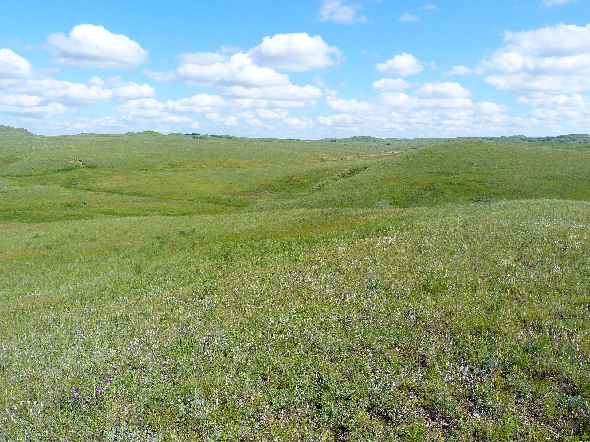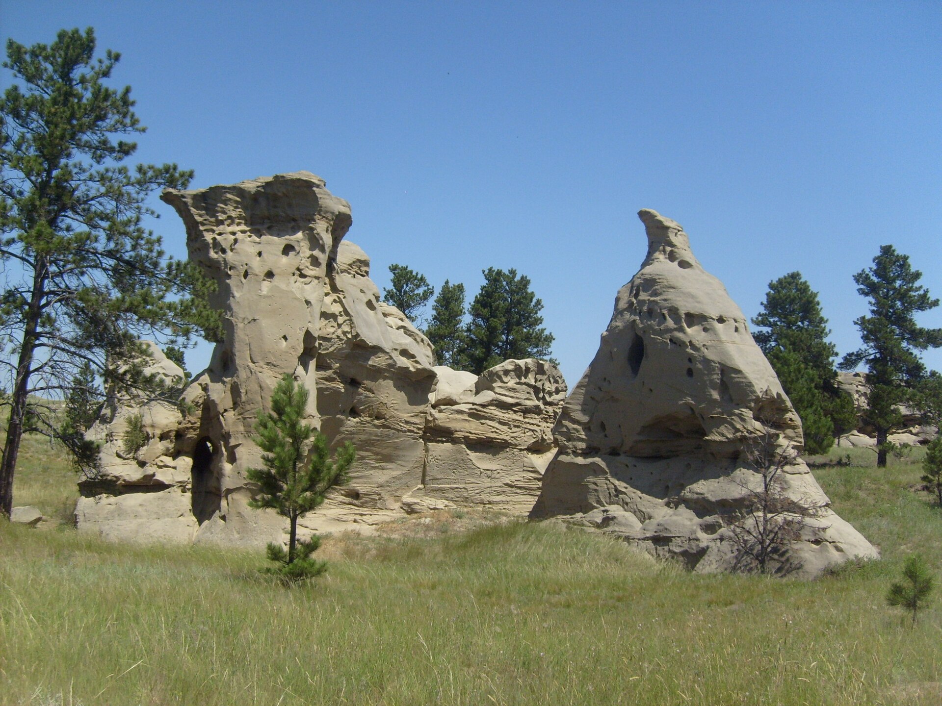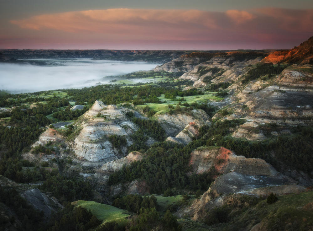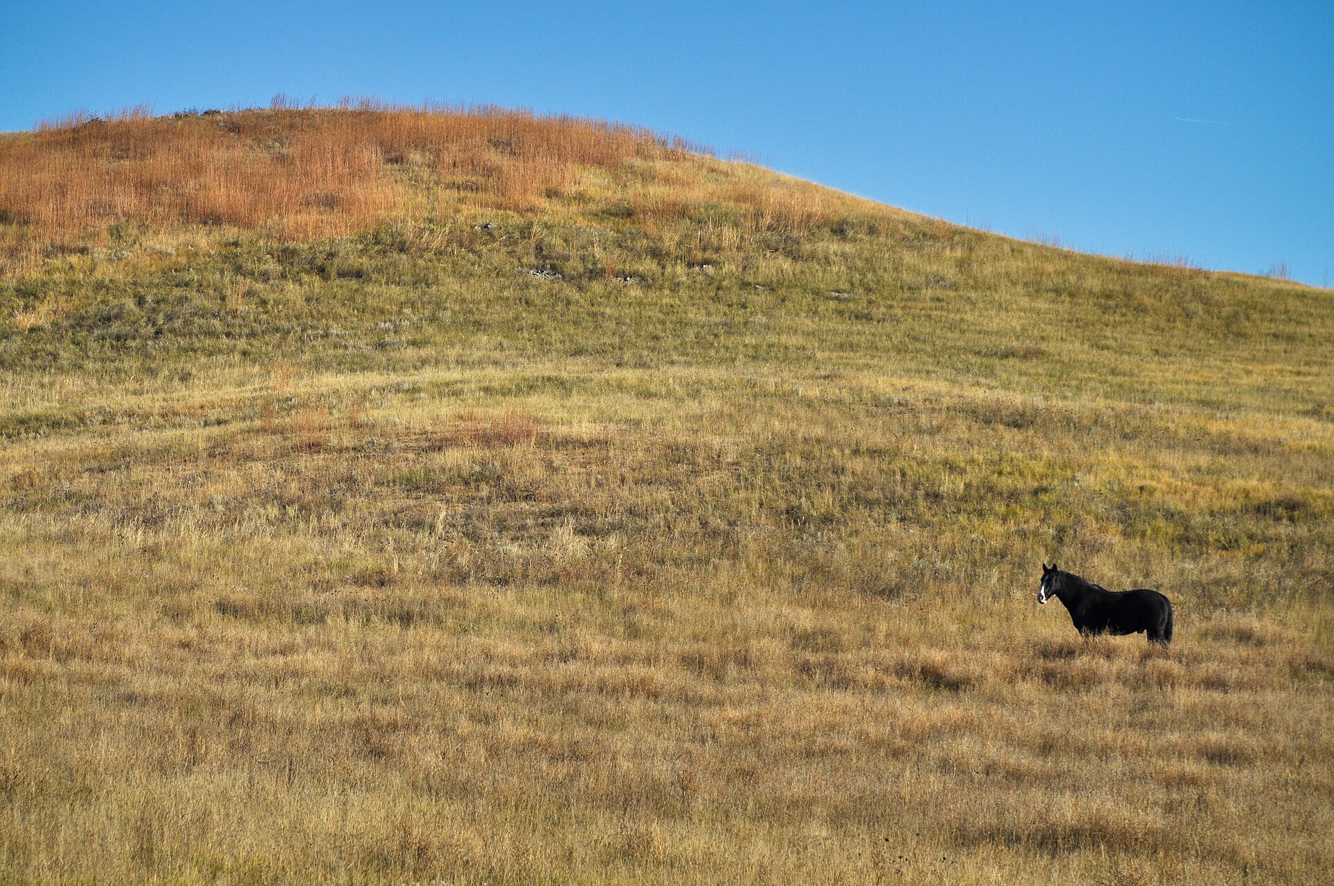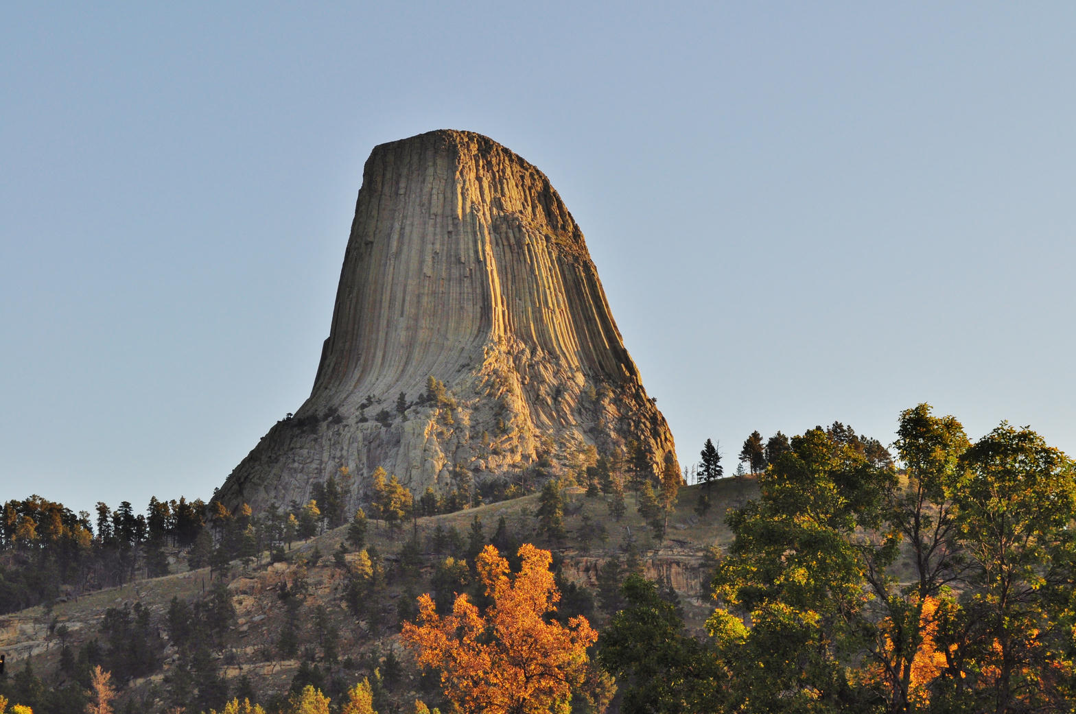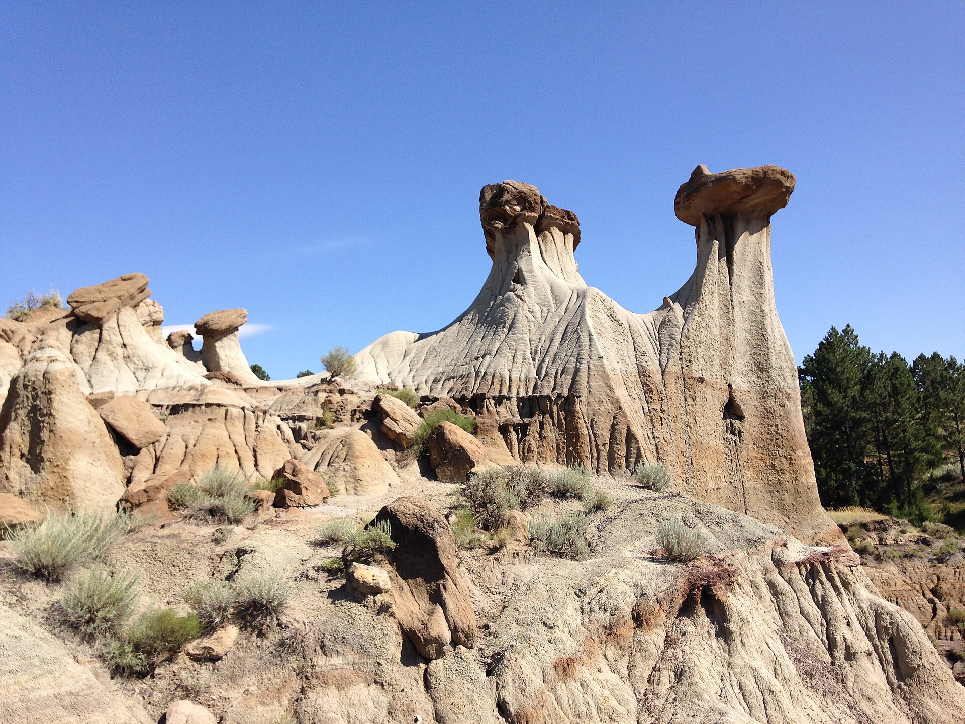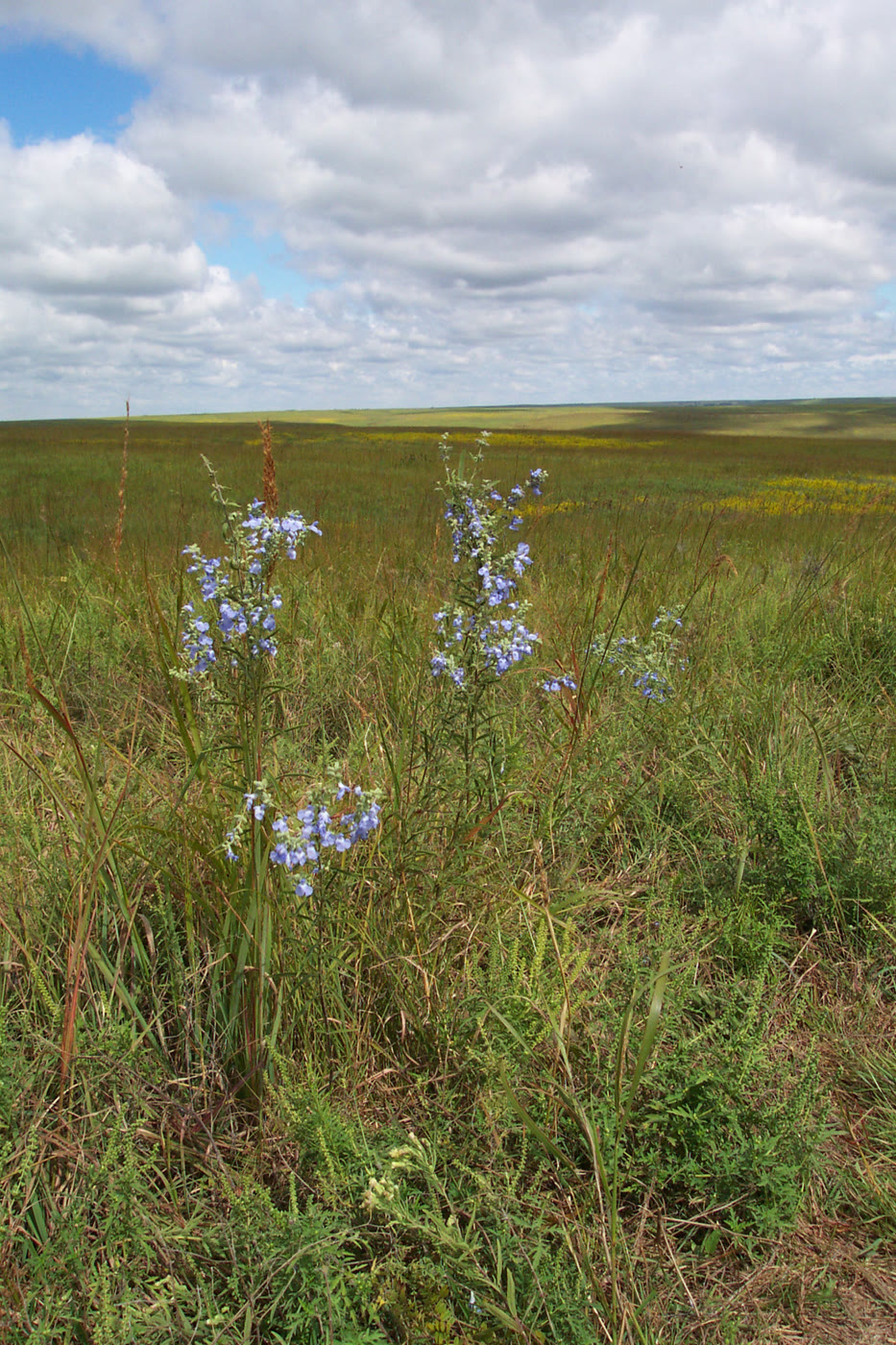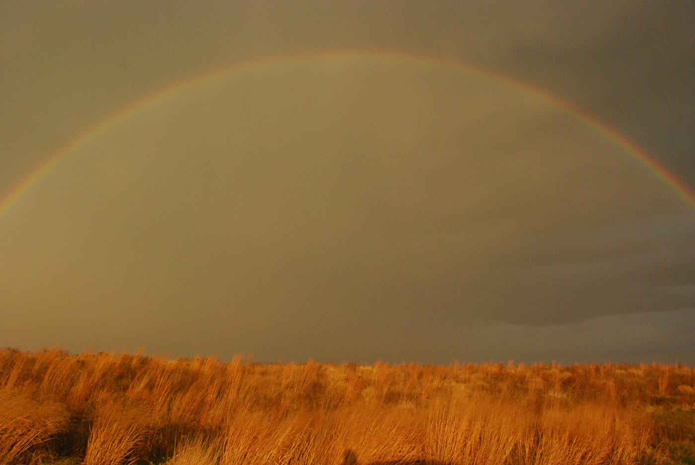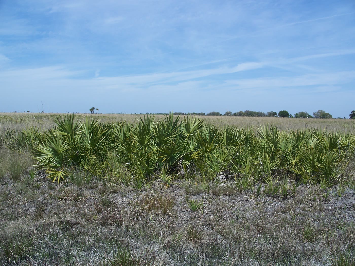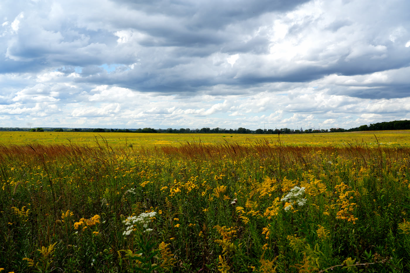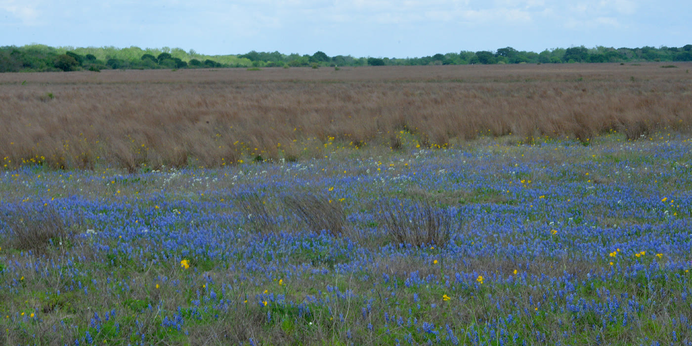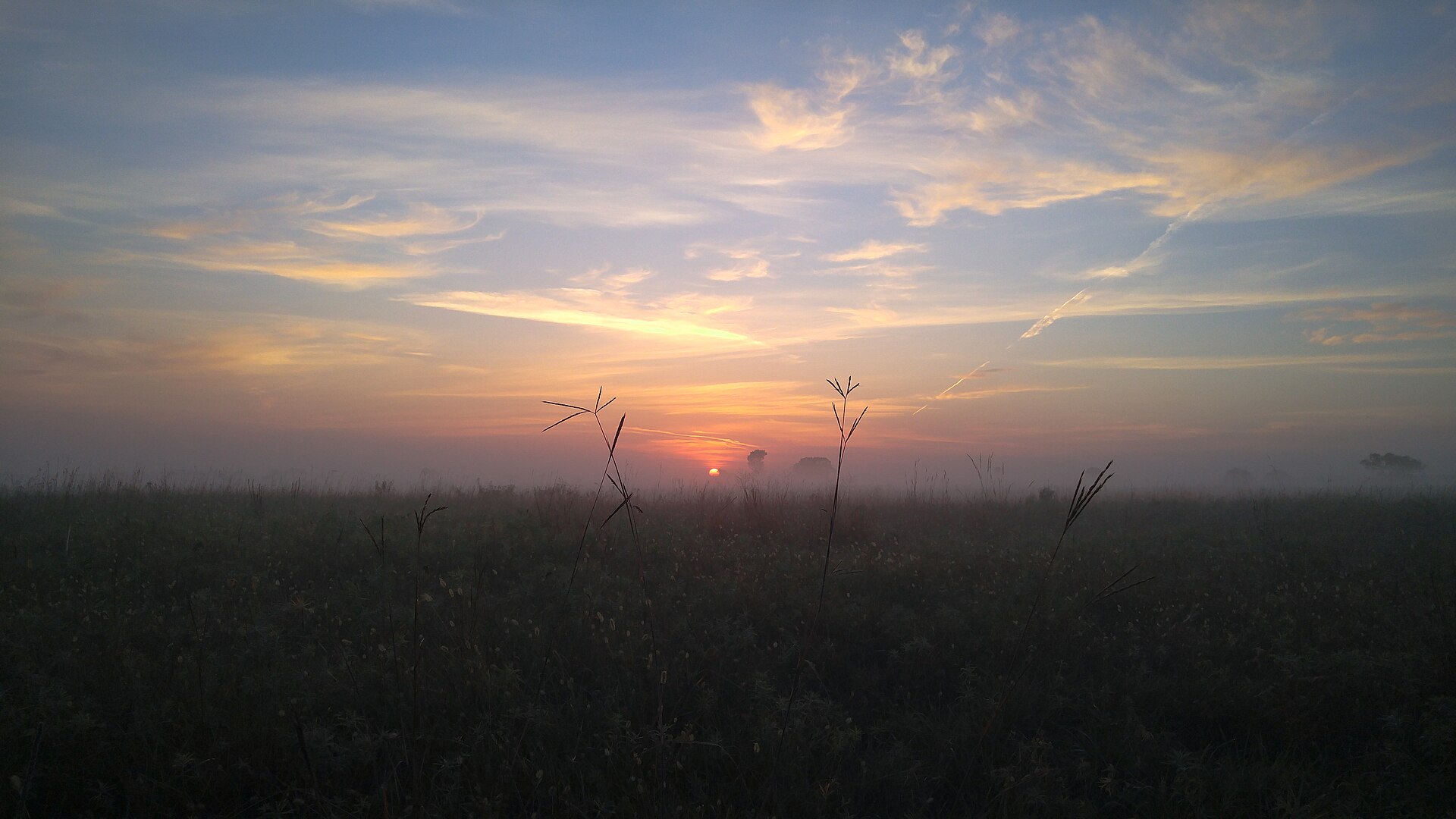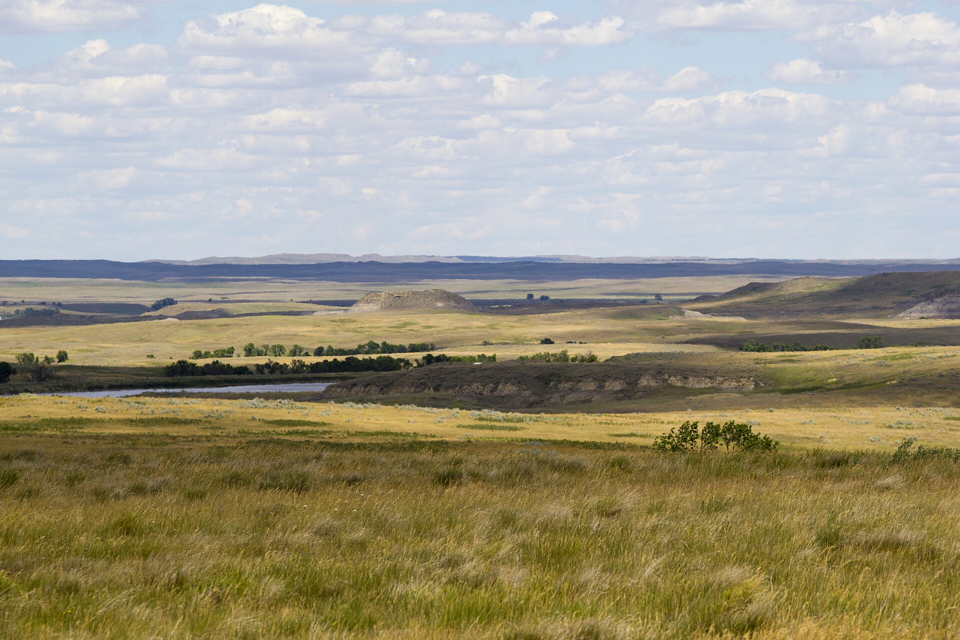
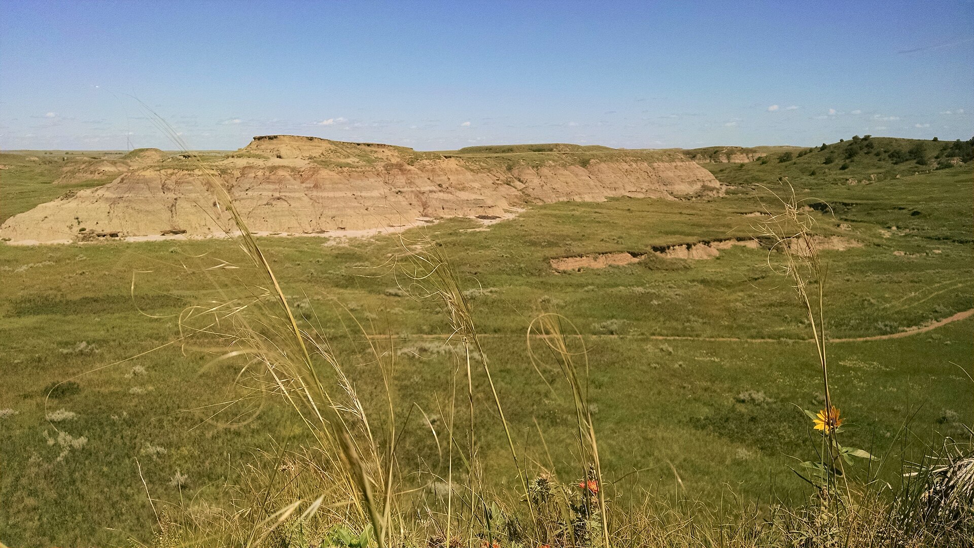
Fig. 1Prairie, water, and a low butte on Grand River National Grassland
Landform
Open mixed-grass and low buttes on the Grand River country — Blacktail Trail, a lone water, and a horizon that stays empty.
Field note
Blacktail Trail drops into a sea of grass. A few buttes break the line. Lemmon is the nearest town. This is USFS Dakota Prairie Grasslands, not Theodore Roosevelt and not the Badlands Loop. Come for sky and distance, not a visitor-center overlook.
Grand River is open mixed-grass and low buttes in northwestern South Dakota. Blacktail Trail is the named walk. Lemmon is the town. This plate is USFS Dakota Prairie Grasslands, not Theodore Roosevelt and not the Badlands Loop.