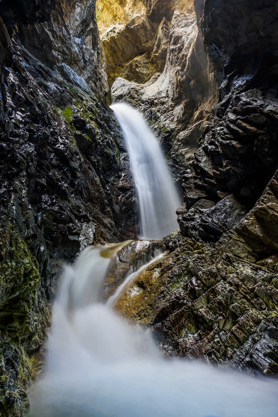
Landform
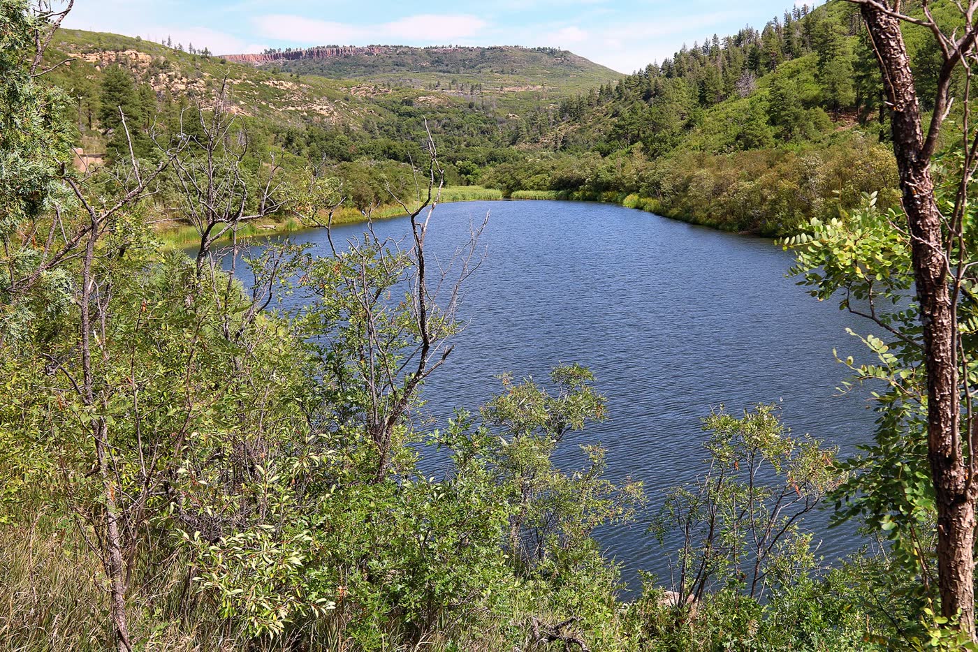
A hidden fall in a dark rock cleft at the foot of the Sangres — a separate plate from the dune field.
Field note
The walk ends in a wet cleft. The water is a silk rope in the dark. This is Zapata, not the sand sea and not the Sangre wall.
The Field Atlas
0/363Canyon chapter · 37.62° N · 105.55° W
A hidden fall in a dark rock cleft at the foot of the Sangres — a separate plate from the dune field.
The walk ends in a wet cleft. The water is a silk rope in the dark. This is Zapata, not the sand sea and not the Sangre wall.
A private leaf
Instant paper, this copy only. Write on the white — a line the walk still owes you.
0 / 24
Opening the leaf…
Onward
The nearest plates, by the miles.
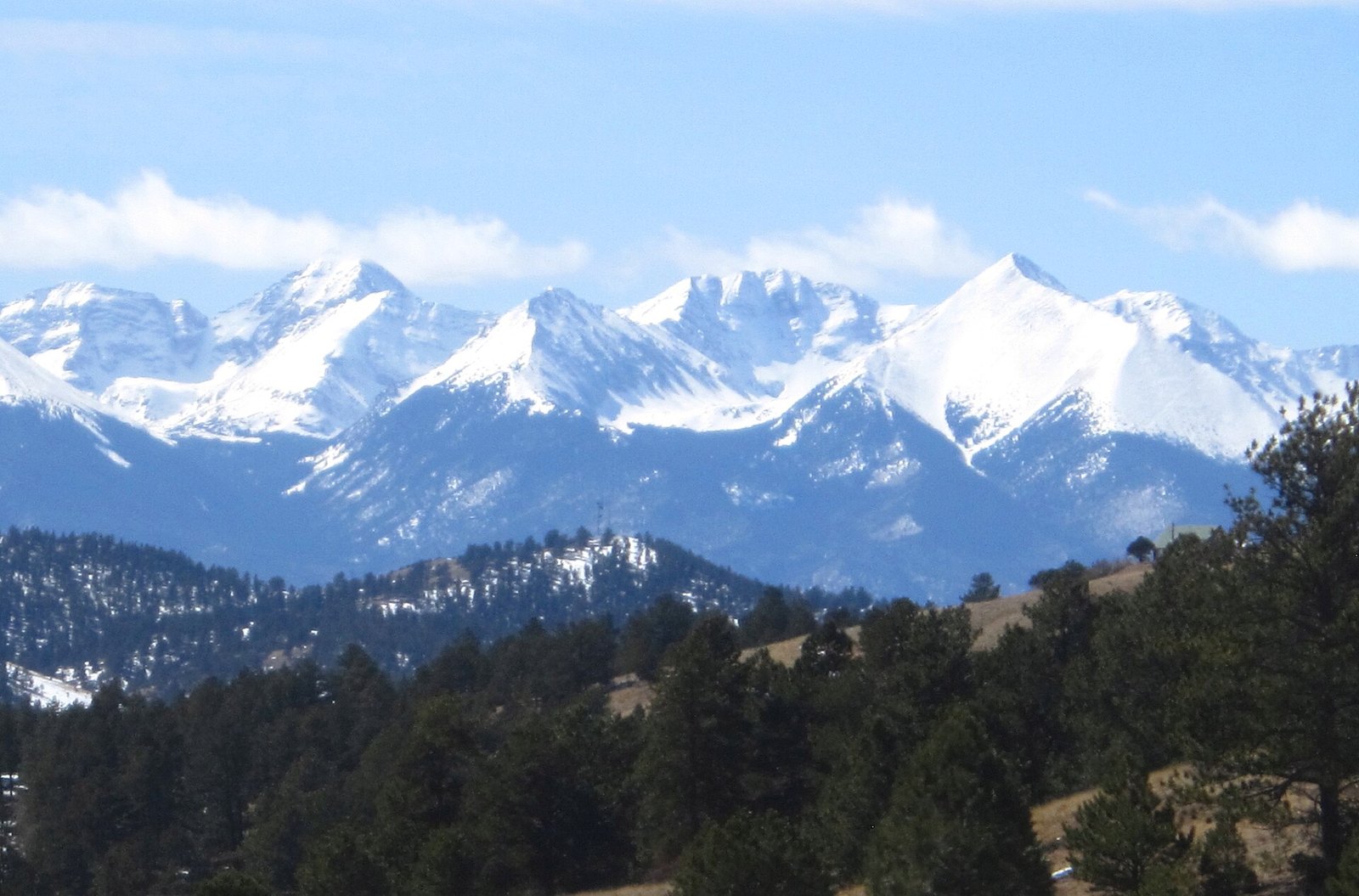 Sangre de Cristo Range5 miles · ColoradoCVII
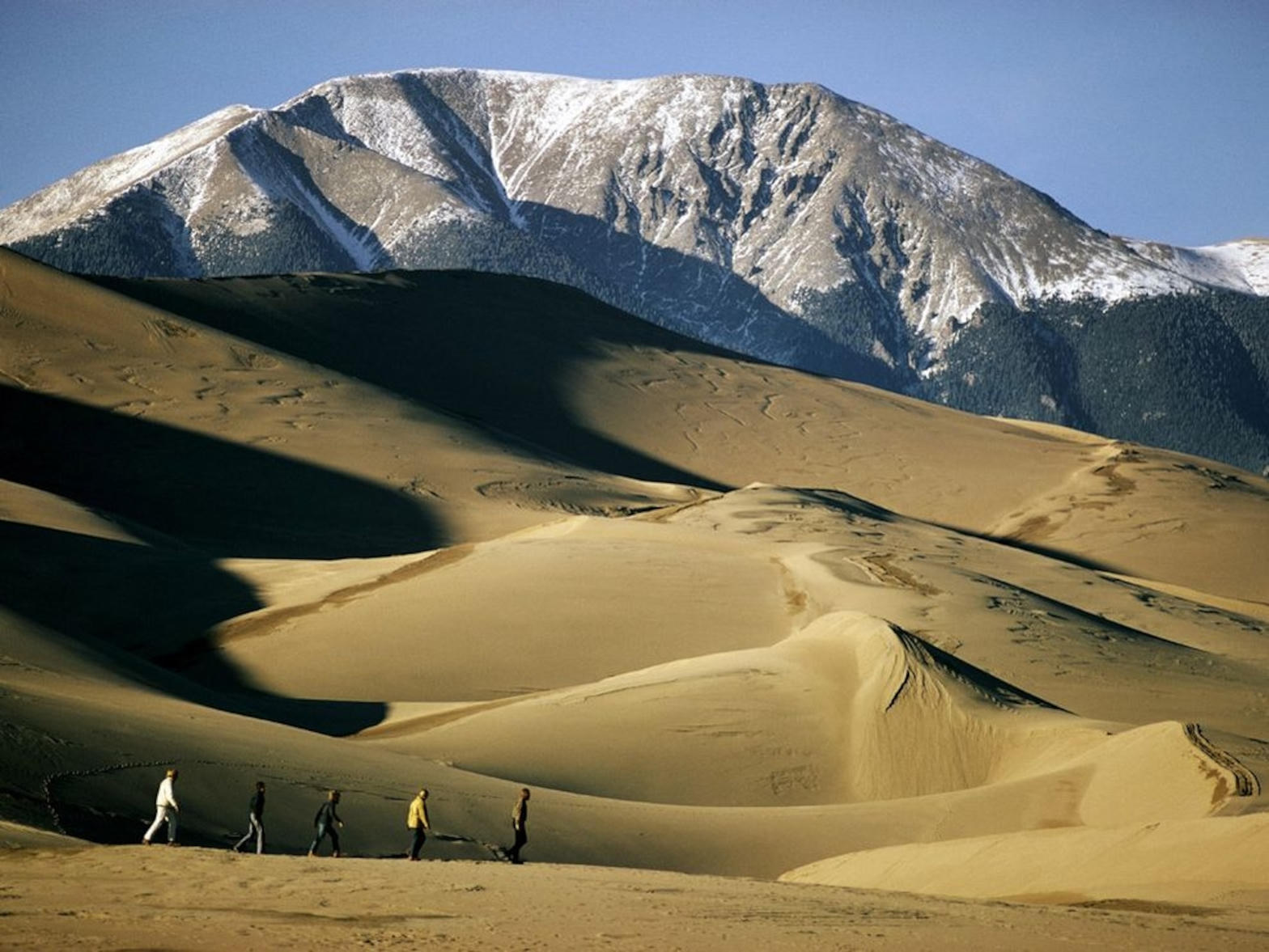 Great Sand Dunes12 miles · ColoradoXIX
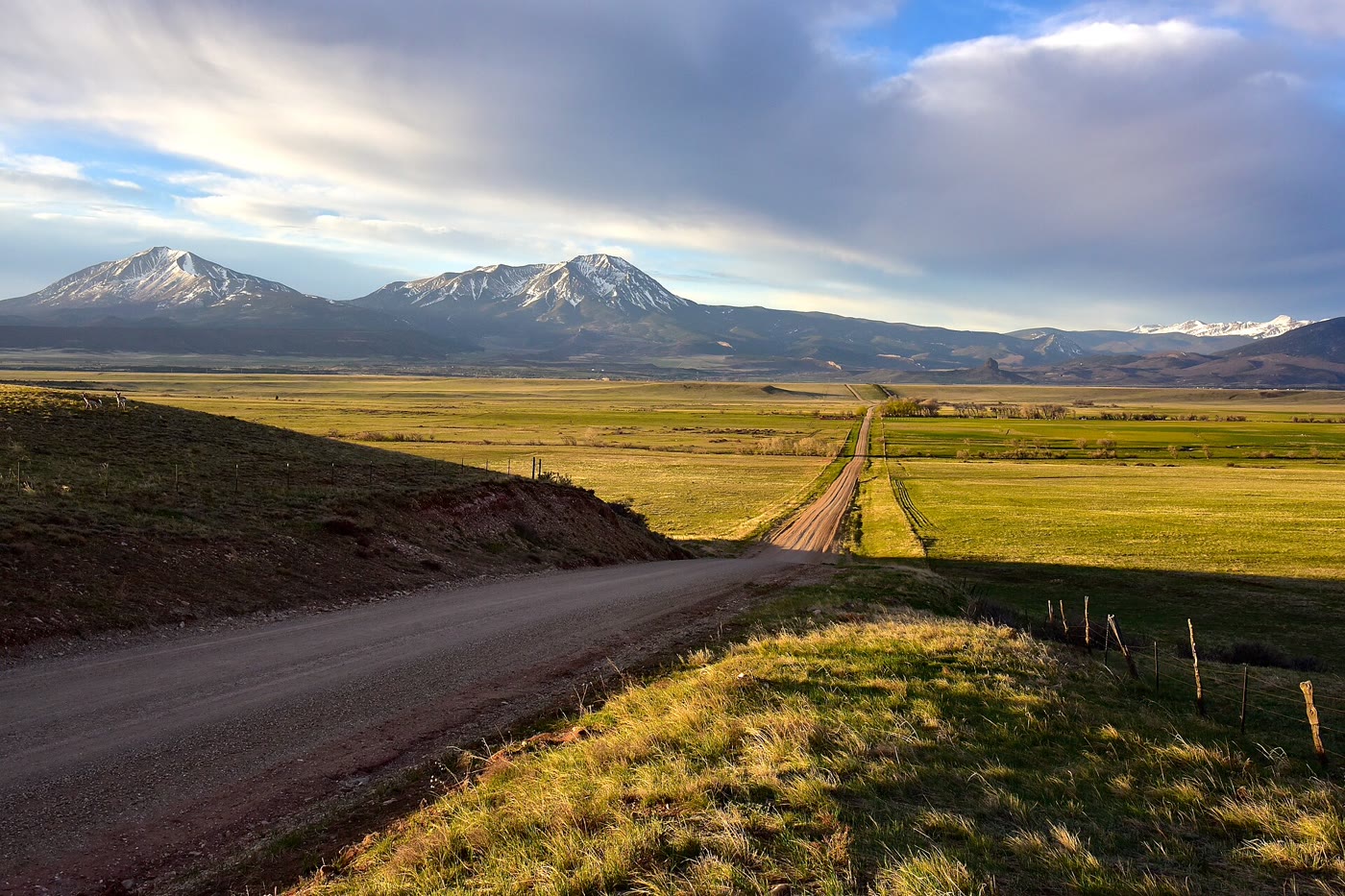 Spanish Peaks35 miles · ColoradoCXCII
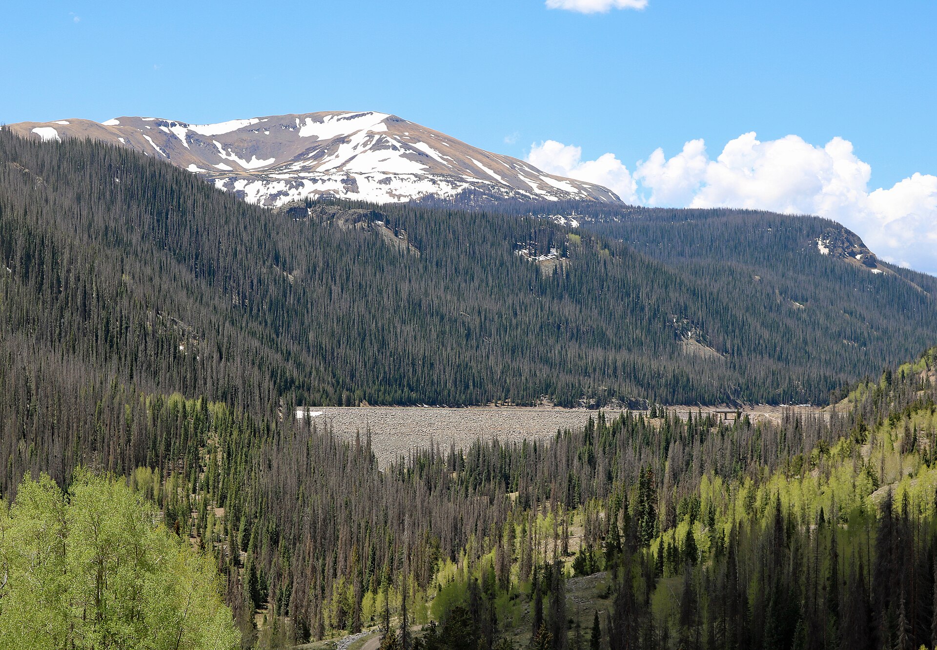 Platoro57 miles · ColoradoCCLXXXII
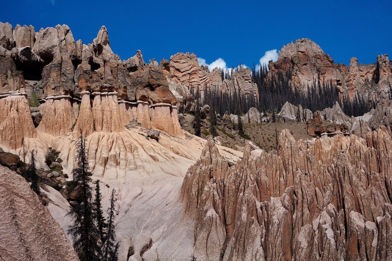 Wheeler Geologic Area61 miles · ColoradoCIV
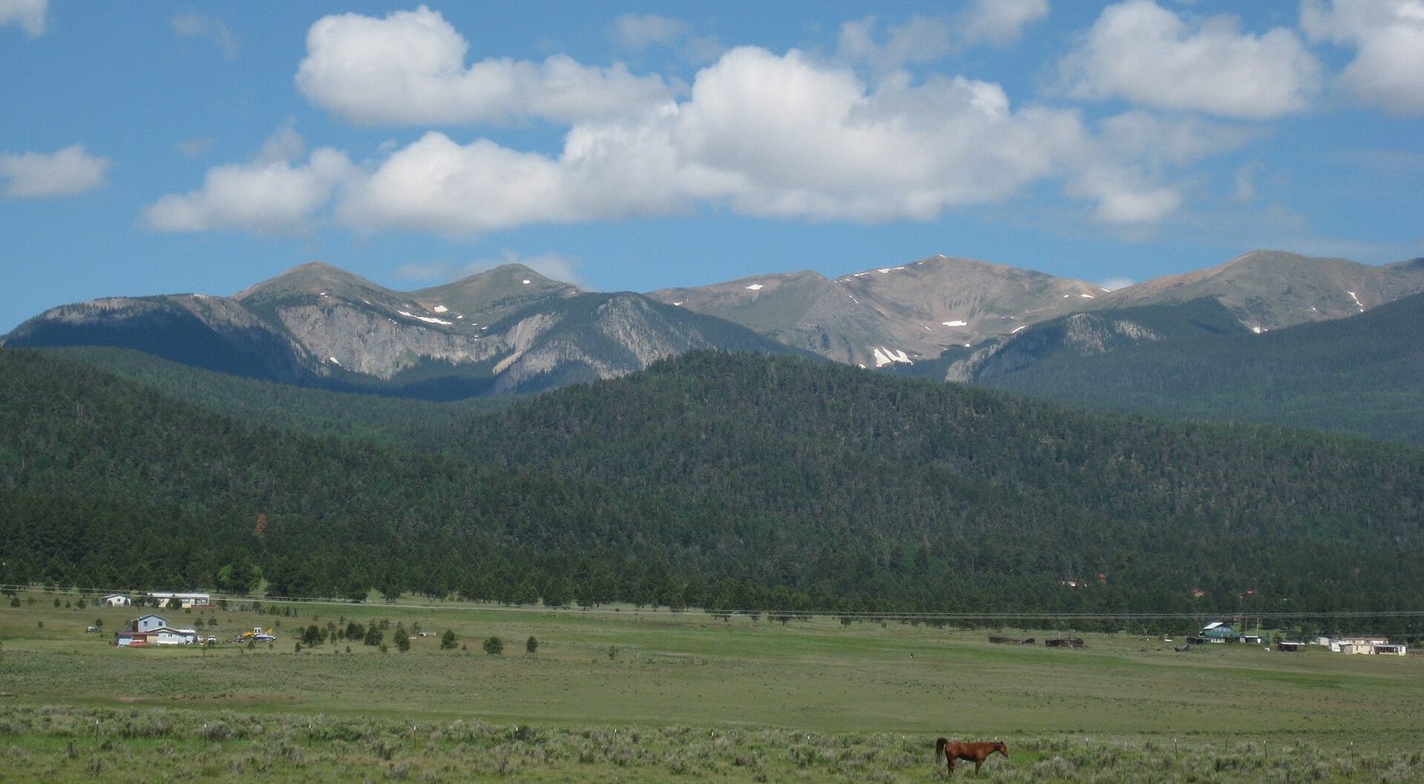 Wheeler Peak74 miles · New MexicoCXXII
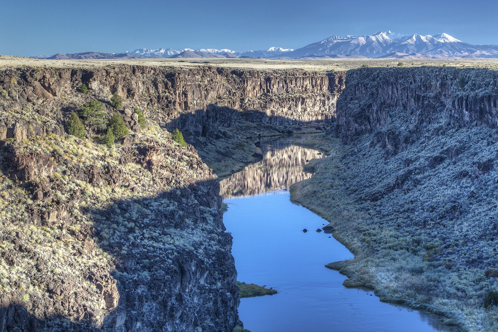 Rio Grande Gorge80 miles · New MexicoCXVI
 Sugarite Canyon80 miles · New MexicoCCLXXIII
Canyon chapter
Other US canyon plates. See all canyon destinations in the USA
Fold-out






