State chapter
Wild places in California
California has 26 plates in this atlas, on hills, canyon, desert, dunes, alpine, forest, coast, and volcanic ground.
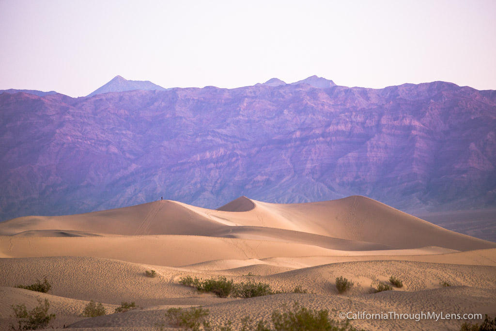
FrontispieceDeath Valley, California
- Plates
- 26
- Terrains
- Hills, Canyon, Desert, Dunes, Alpine, Forest, Coast, Volcanic
California
The plates
Plate VIIDeath Valley
desertMojave & Great Basin, California
A basin so deep the air itself grows heavy.
36.5° N · 116.9° WOpen plate →
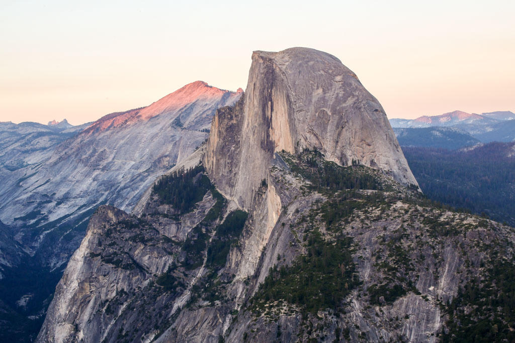 Plate IX
Yosemite Valley
alpineSierra Nevada, California
Ice carved a hall of granite and left the water falling.
37.7° N · 119.6° WOpen plate →
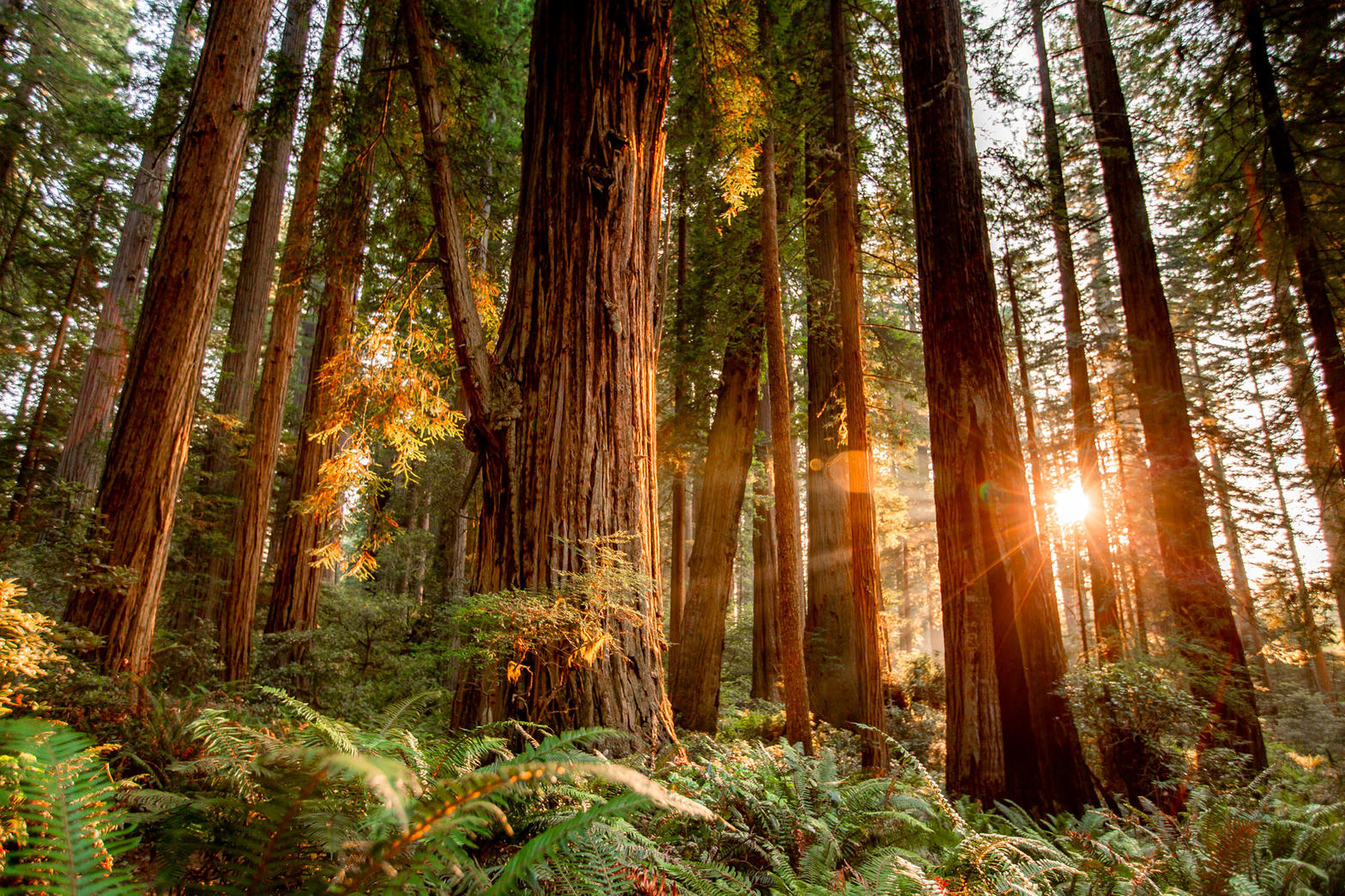 Plate X
Coast Redwoods
forestRedwood National and State Parks, California
A forest that drinks the Pacific fog.
41.2° N · 124.0° WOpen plate →
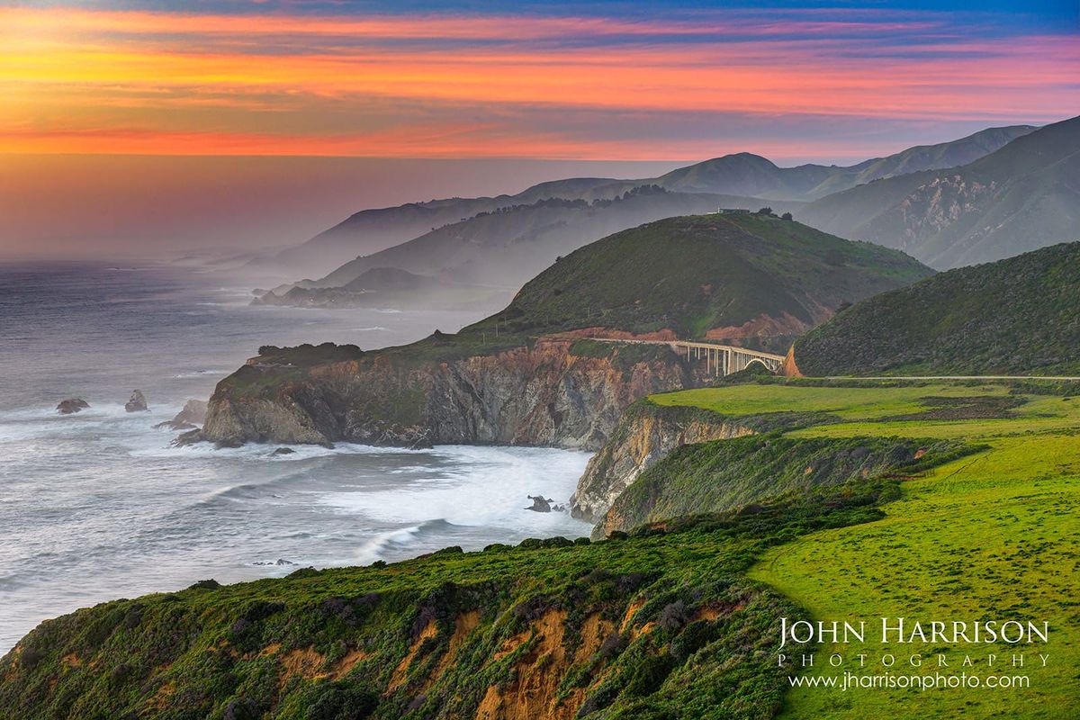 Plate XI
Big Sur
coastSanta Lucia Range, Central Coast, California
Where the continent ends in a long green fall to the sea.
36.3° N · 121.8° WOpen plate →
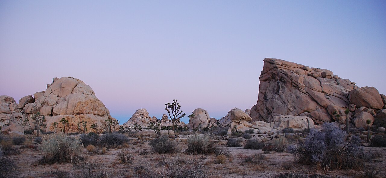 Plate XXXIII
Joshua Tree
desertMojave & Colorado Deserts, California
A garden of stone and a tree that is not quite a tree.
33.9° N · 115.9° WOpen plate →
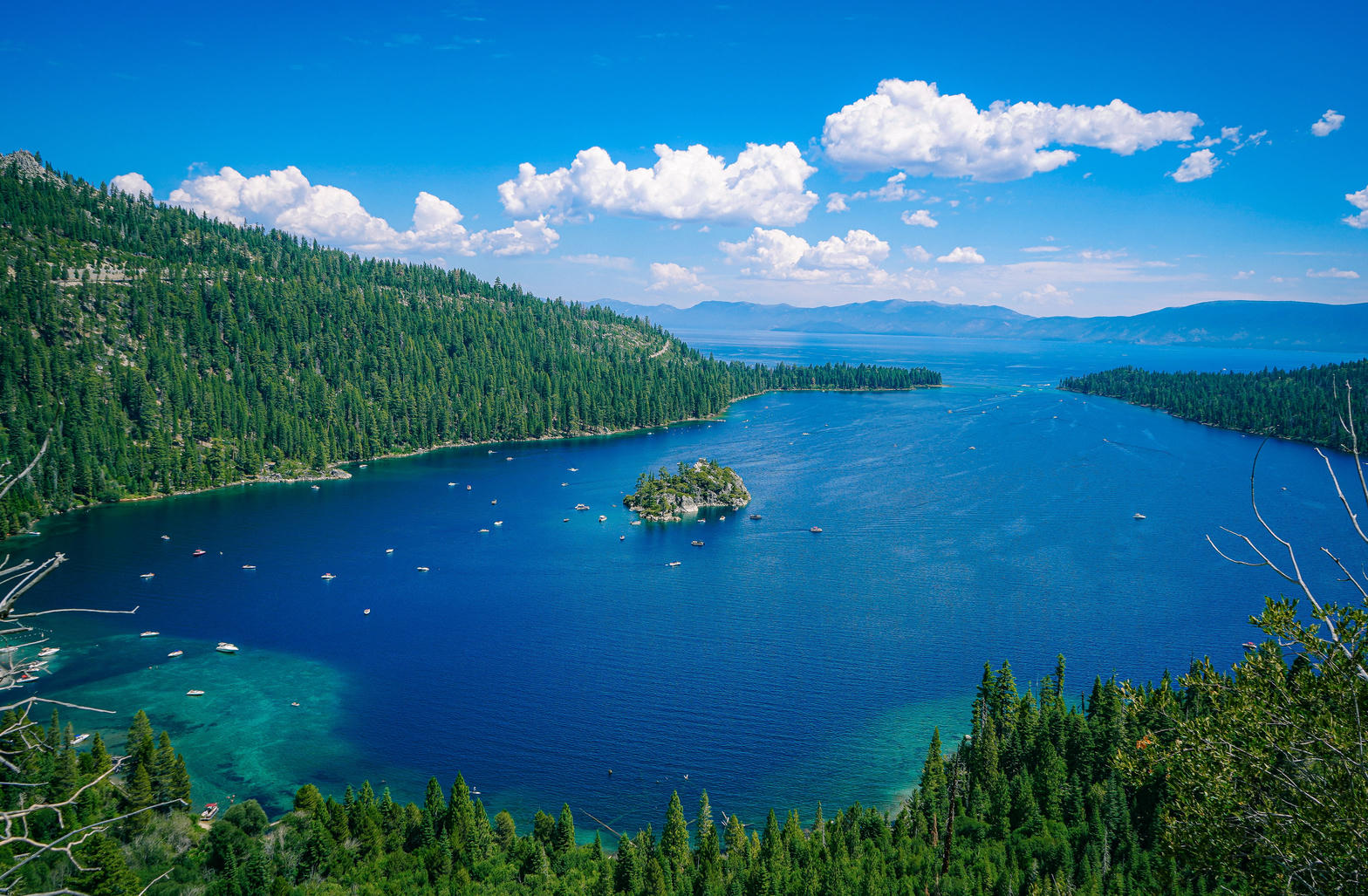 Plate XLI
Lake Tahoe
alpineSierra Nevada / Carson Range, California / Nevada
A high blue bowl the Sierra could not quite drain.
38.9° N · 120.0° WOpen plate →
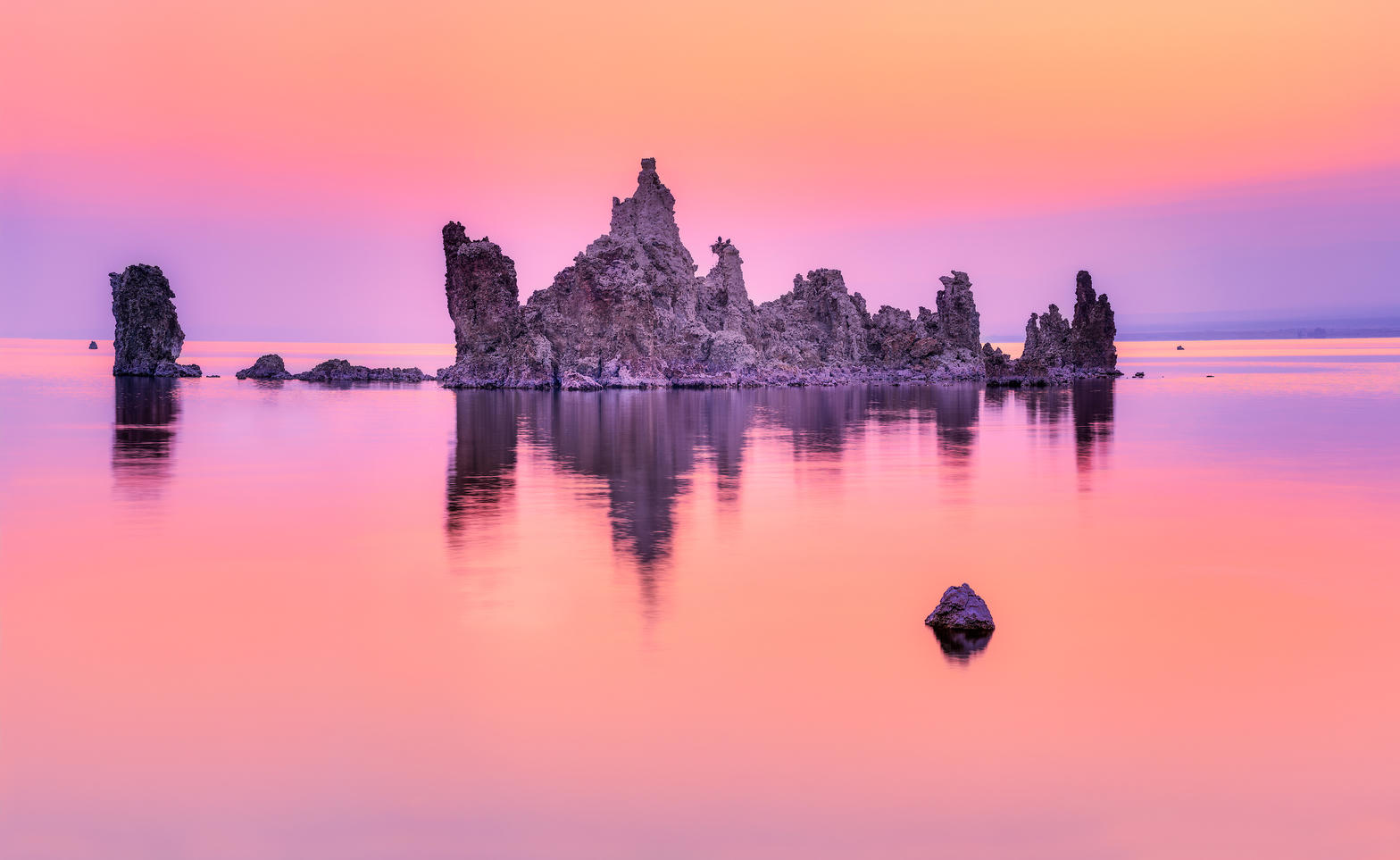 Plate XLII
Mono Lake
desertEastern Sierra, near Lee Vining, California
A pale inland sea planted with stone trees.
38.0° N · 119.0° WOpen plate →
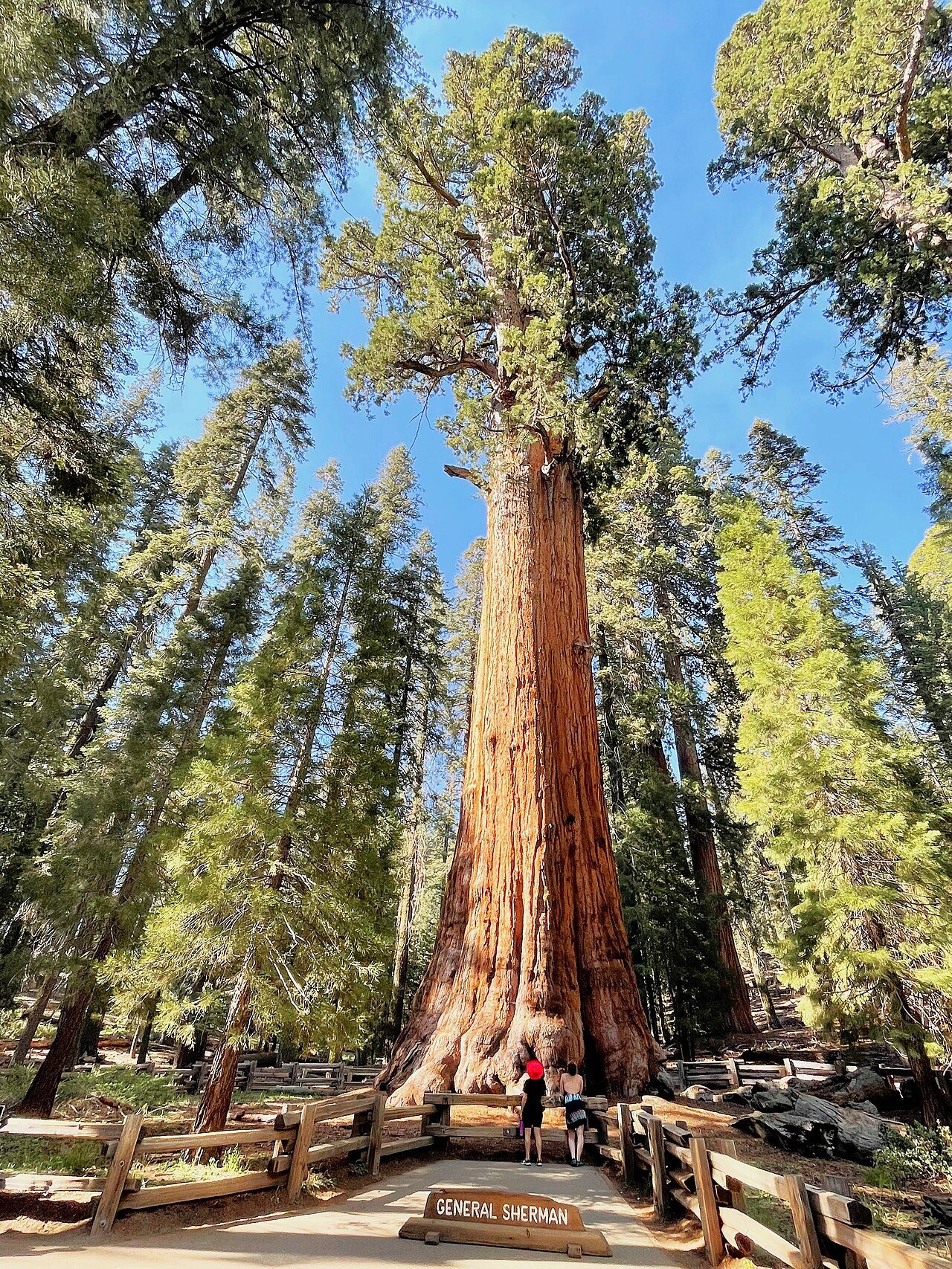 Plate XLIII
Giant Sequoias
forestWestern Sierra Nevada, California
Trees so large they reset your sense of scale.
36.5° N · 118.6° WOpen plate →
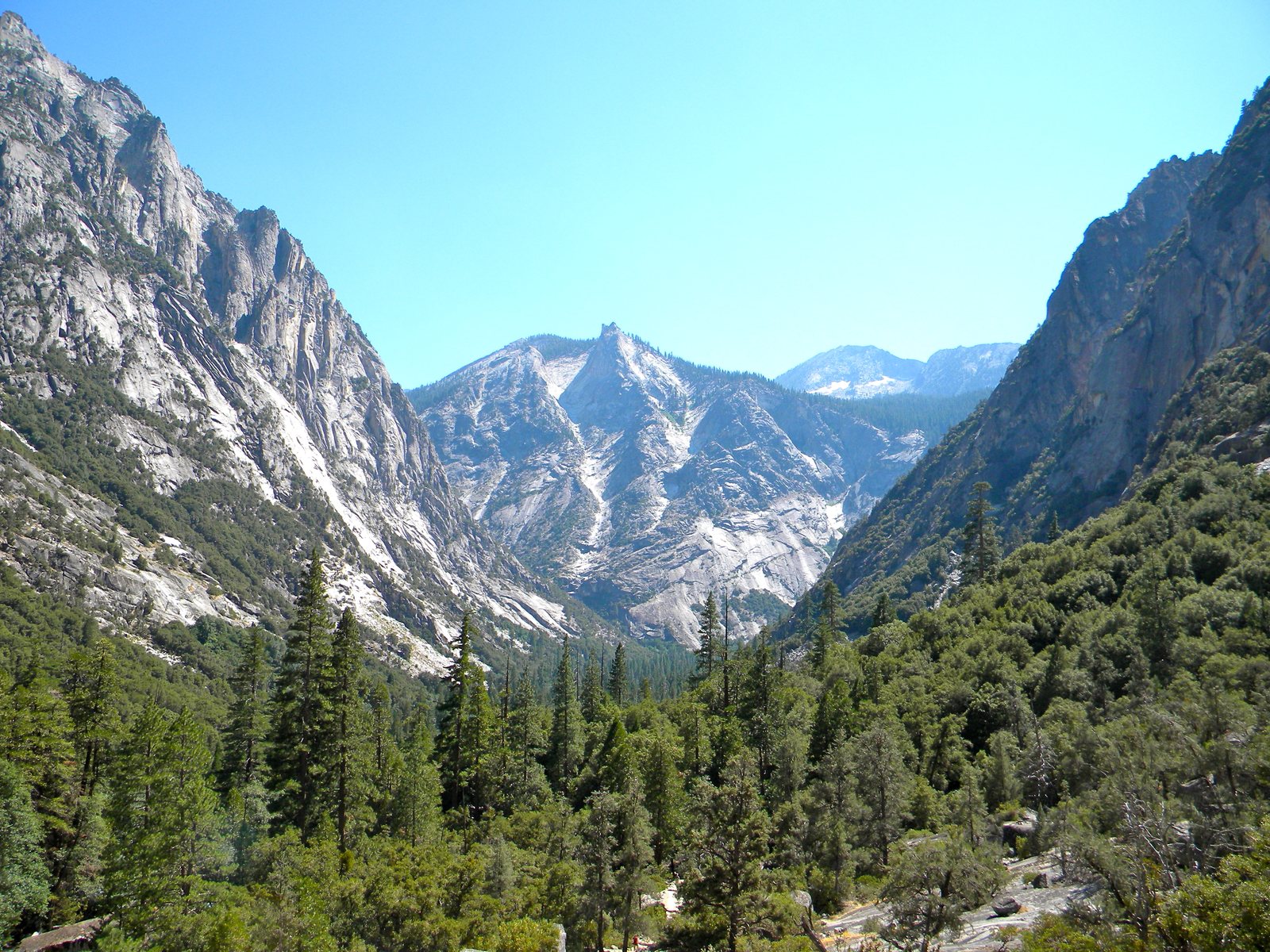 Plate LXXIX
Kings Canyon
canyonSouthern Sierra Nevada, California
A Yosemite that kept the canyon and gave away the crowds.
36.8° N · 118.6° WOpen plate →
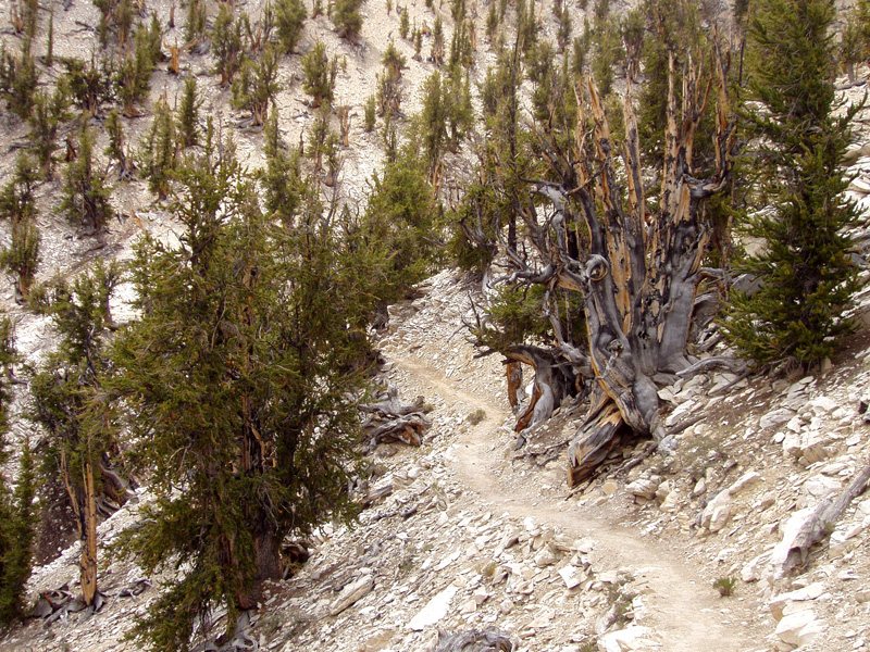 Plate LXXX
Ancient Bristlecones
forestWhite Mountains, Inyo National Forest, California
A forest that has been dying, and living, for forty-five centuries.
37.4° N · 118.2° WOpen plate →
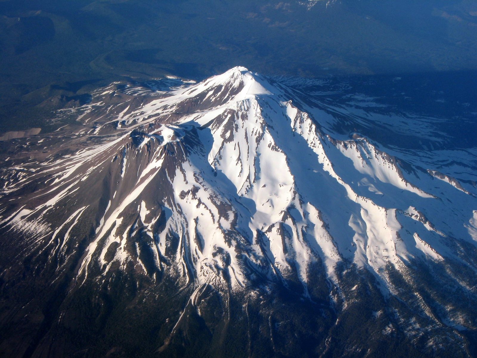 Plate LXXXVII
Mount Shasta
volcanicShasta-Trinity National Forest, California
A mountain that stands alone and makes a sky to match.
41.4° N · 122.2° WOpen plate →
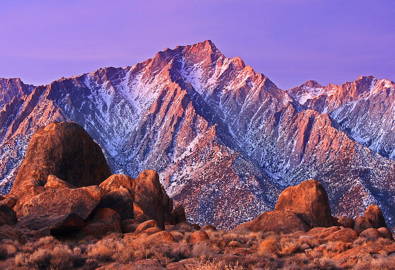 Plate CXXXV
Alabama Hills
hillsOwens Valley, below Mount Whitney, California
Granite that learned to sit still under the highest mountain.
36.6° N · 118.1° WOpen plate →
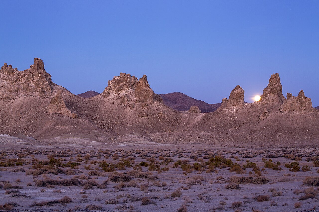 Plate CXXXVI
Trona Pinnacles
desertSearles Lake, near Ridgecrest, California
A stone forest that grew underwater, then the water left.
35.6° N · 117.4° WOpen plate →
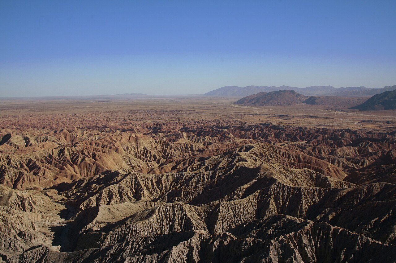 Plate CXXXVII
Anza-Borrego
desertColorado Desert, Font’s Point, California
A desert that hides an ocean of folded earth.
33.3° N · 116.2° WOpen plate →
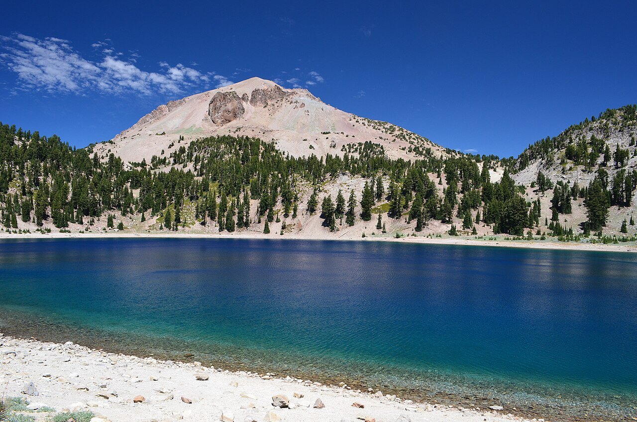 Plate CXXXVIII
Lassen
volcanicLassen Volcanic National Park, California
A mountain that still remembers how to boil.
40.5° N · 121.5° WOpen plate →
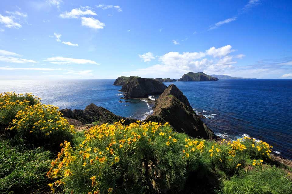 Plate CXXXIX
Channel Islands
coastAnacapa Island, off Ventura, California
The California that kept its wildness by sitting in the water.
34.0° N · 119.4° WOpen plate →
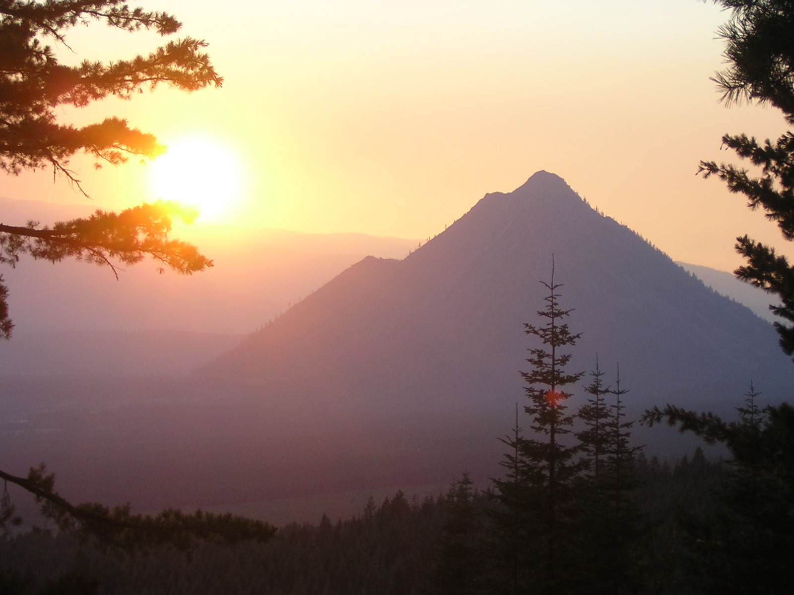 Plate CCXCII
Black Butte
volcanicShasta-Trinity NF, west of Weed, California
A dark cone the interstate looks at and keeps driving past.
41.4° N · 122.3° WOpen plate →
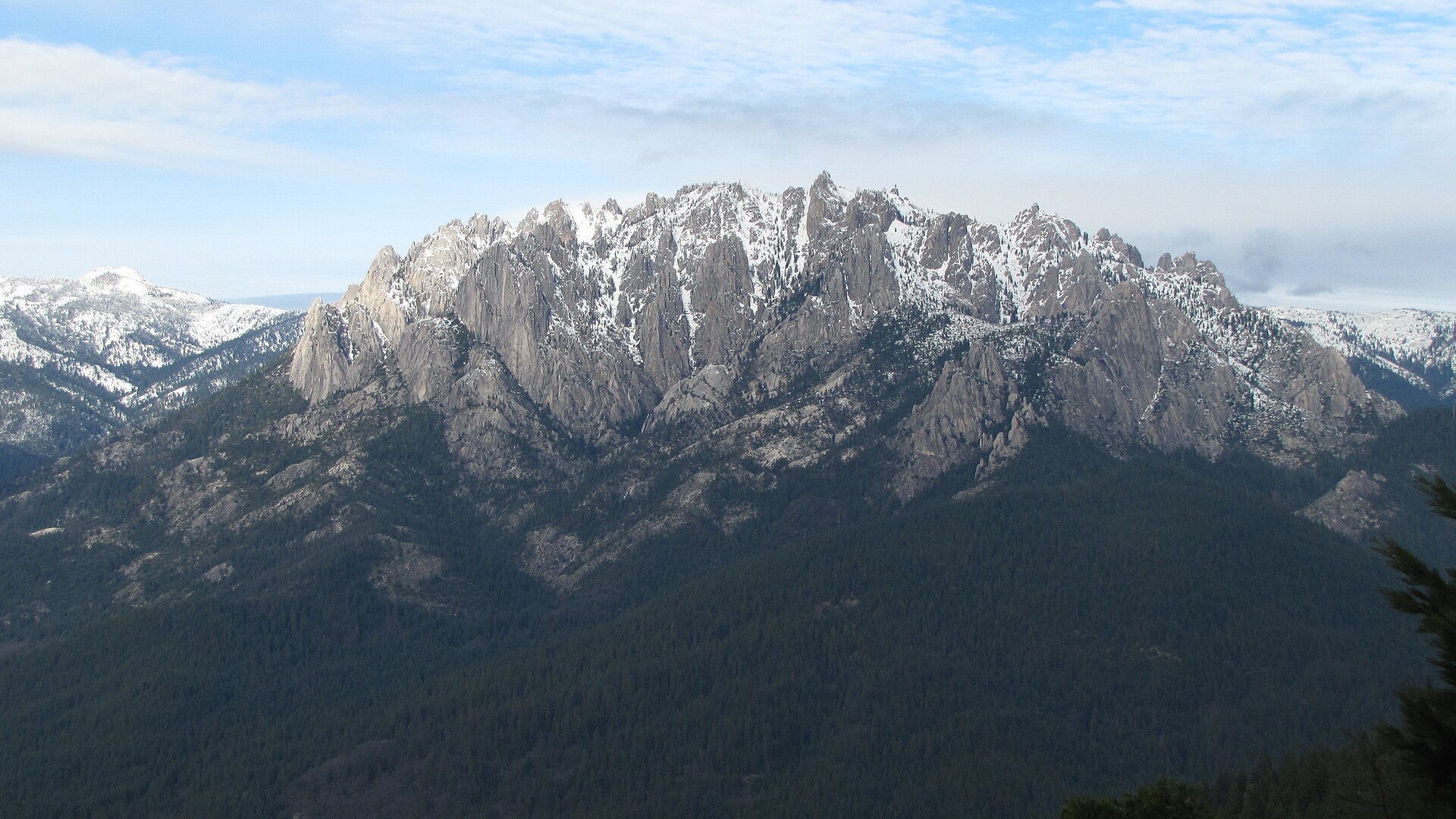 Plate CCXCIII
Castle Crags
hillsCastle Crags Wilderness, Shasta-Trinity NF, California
Granite towers the interstate only glances at.
41.2° N · 122.3° WOpen plate →
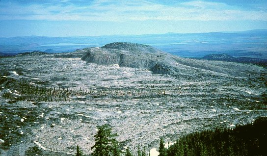 Plate CCXCIV
Medicine Lake
volcanicMedicine Lake Volcano, Modoc NF, California
A caldera lake the obsidian still keeps.
41.6° N · 121.6° WOpen plate →
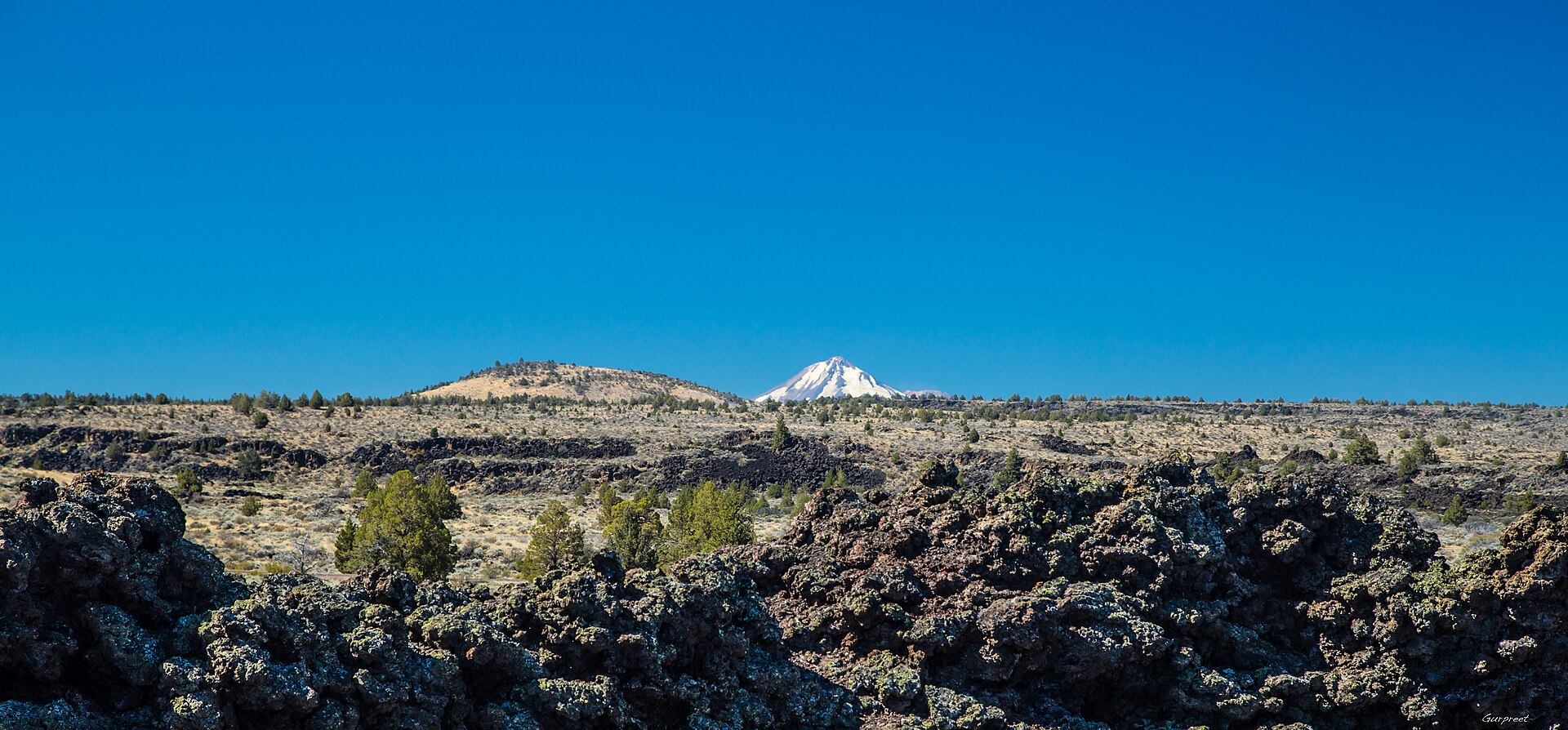 Plate CCXCV
Lava Beds
volcanicLava Beds National Monument, Modoc & Siskiyou, California
Black rock the tubes still keep cool.
41.7° N · 121.5° WOpen plate →
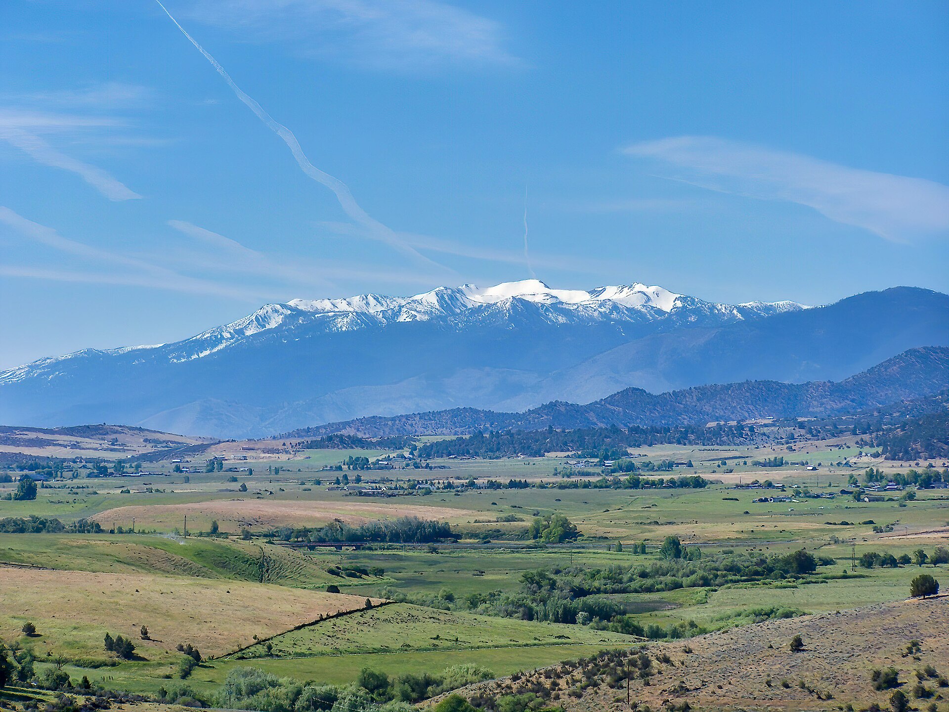 Plate CCXCVI
Mount Eddy
alpineTrinity Divide, Shasta-Trinity NF, California
The quiet mountain that looks back at Shasta.
41.3° N · 122.5° WOpen plate →
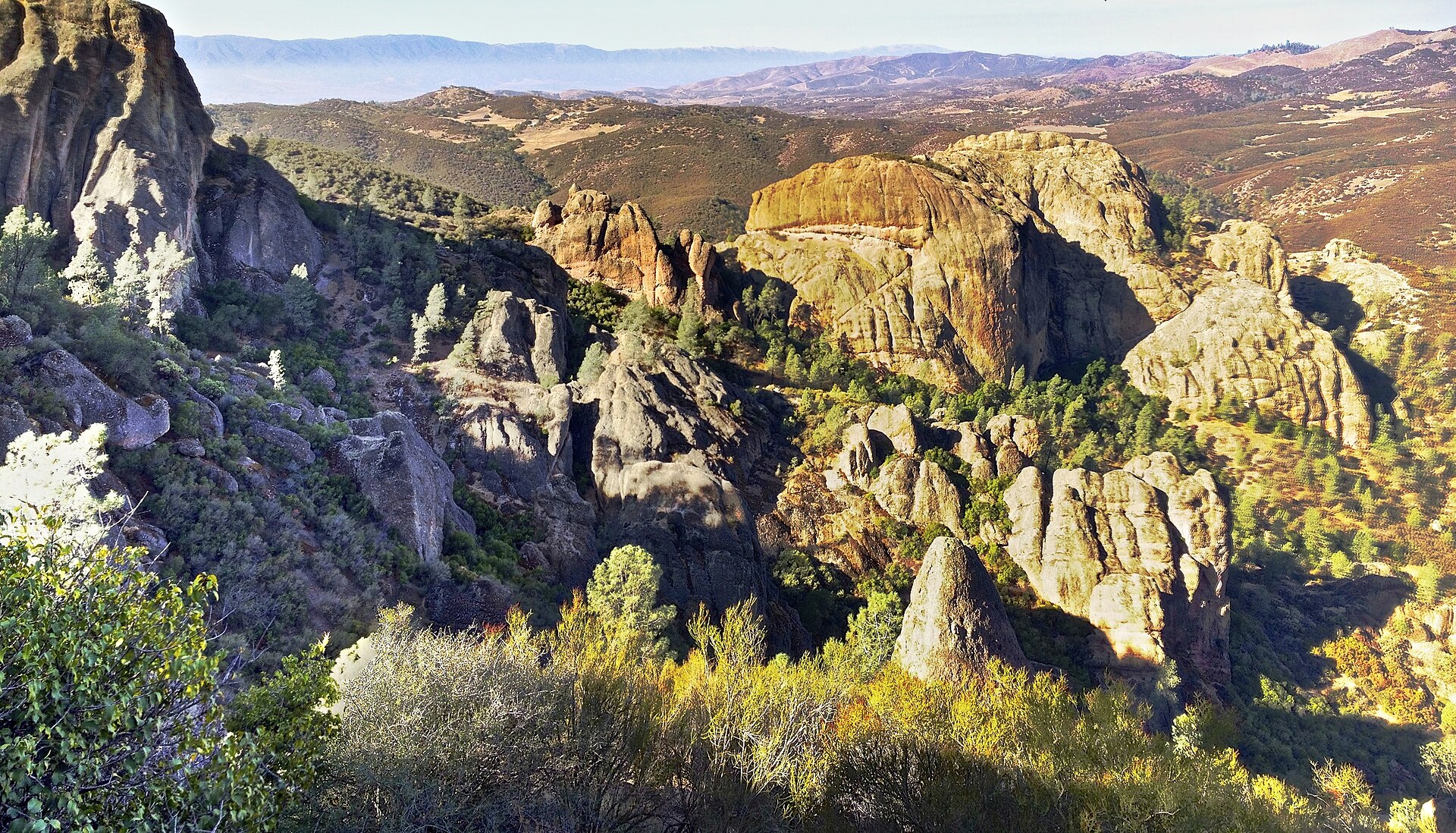 Plate CCCIV
Pinnacles
volcanicPinnacles National Park, Gabilan Range, California
Rhyolite High Peaks over chaparral.
36.5° N · 121.2° WOpen plate →
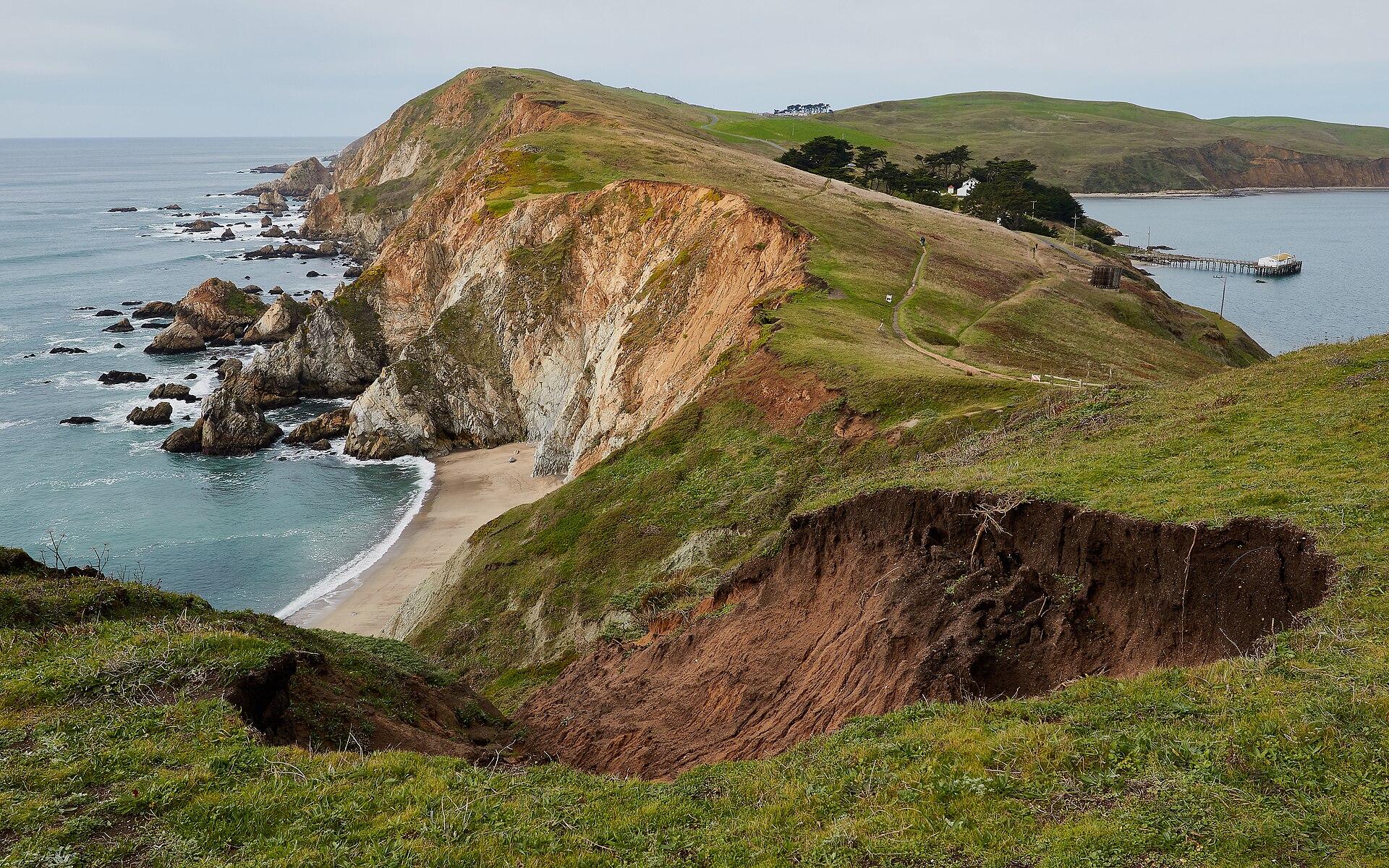 Plate CCCVIII
Point Reyes
coastPoint Reyes National Seashore, Marin, California
A headland that still feels like the continent’s end.
38.0° N · 123.0° WOpen plate →
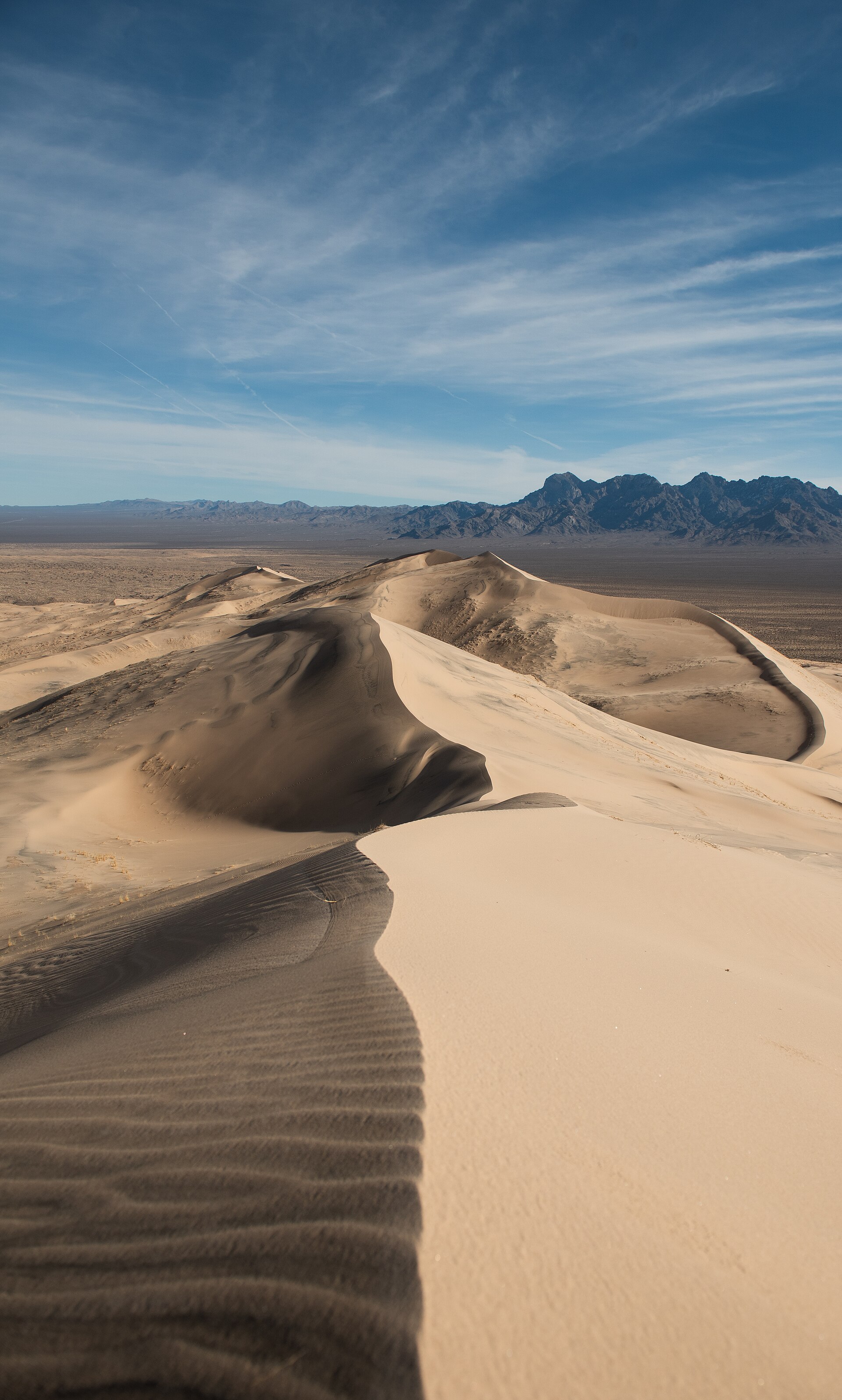 Plate CCCXII
Kelso Dunes
duneMojave National Preserve, California
A singing dune sea under the Providence Mountains.
34.9° N · 115.7° WOpen plate →
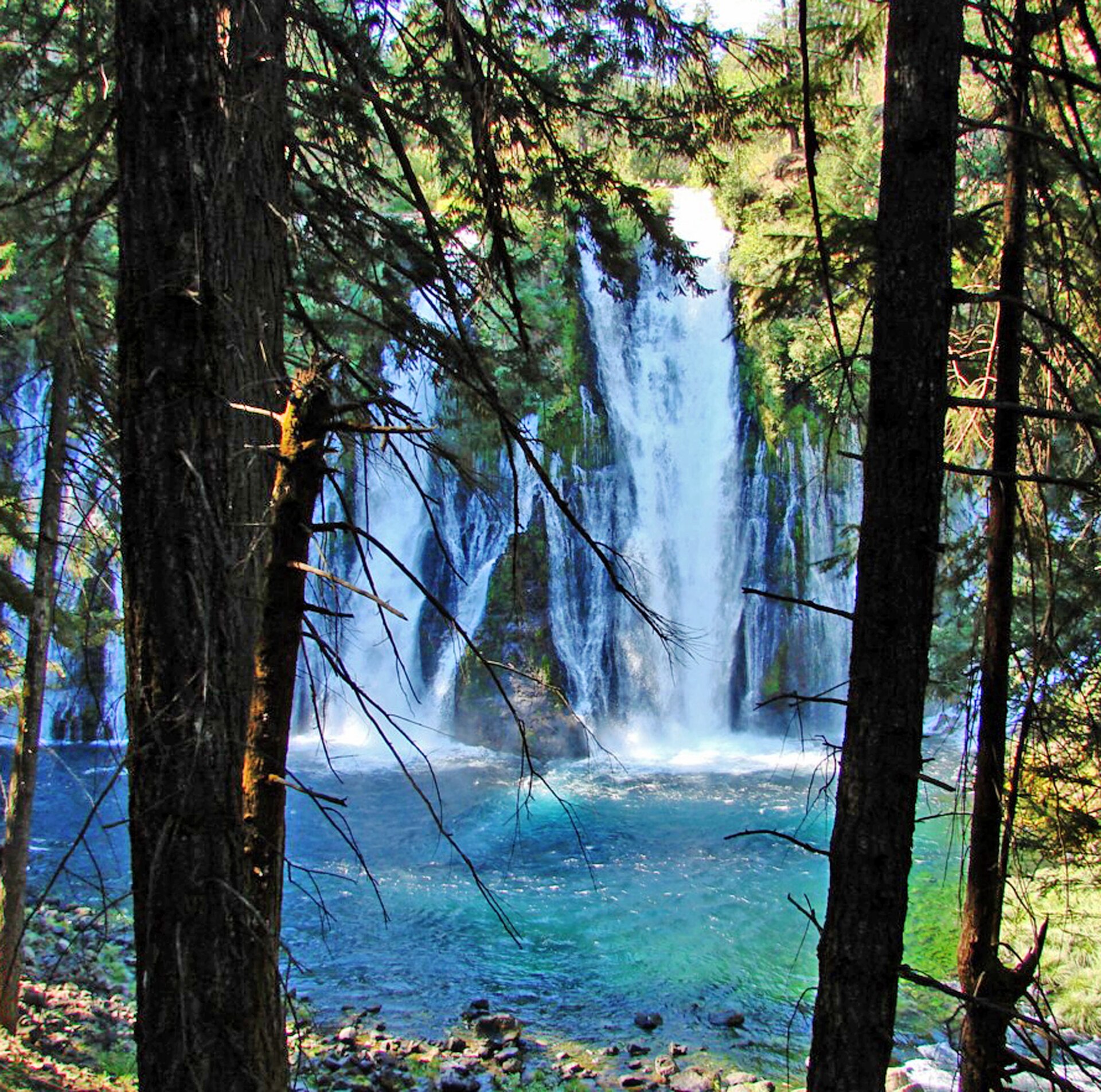 Plate CCCXX
Burney Falls
forestMcArthur-Burney Falls Memorial State Park, California
Spring water falling into a teal bowl.
41.0° N · 121.7° WOpen plate →
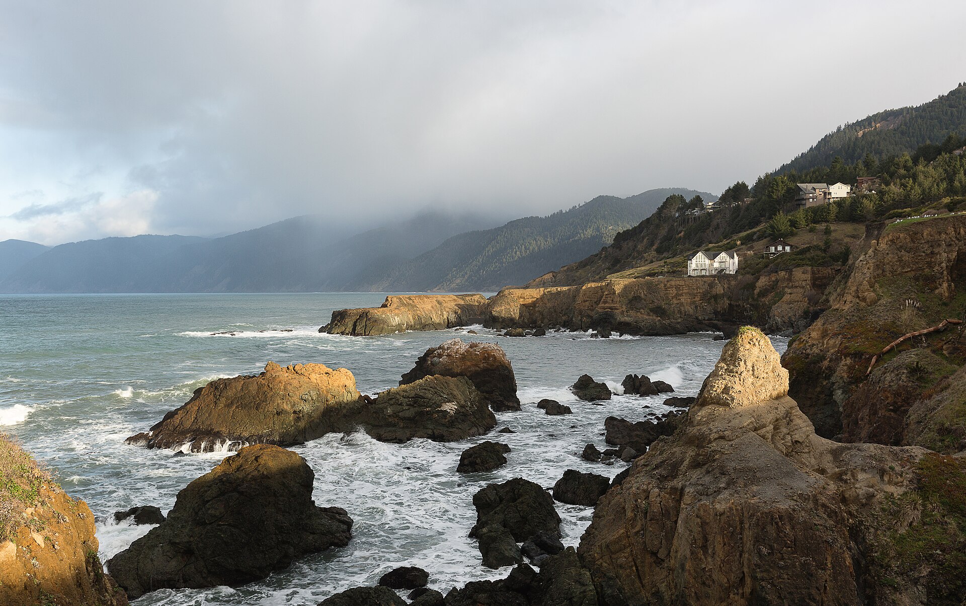 Plate CCCLV
King Range
coastLost Coast, King Range National Conservation Area, California
California’s roadless coast.
40.0° N · 124.1° WOpen plate →