Back to the atlas
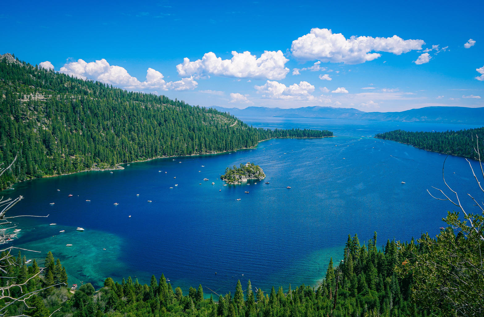
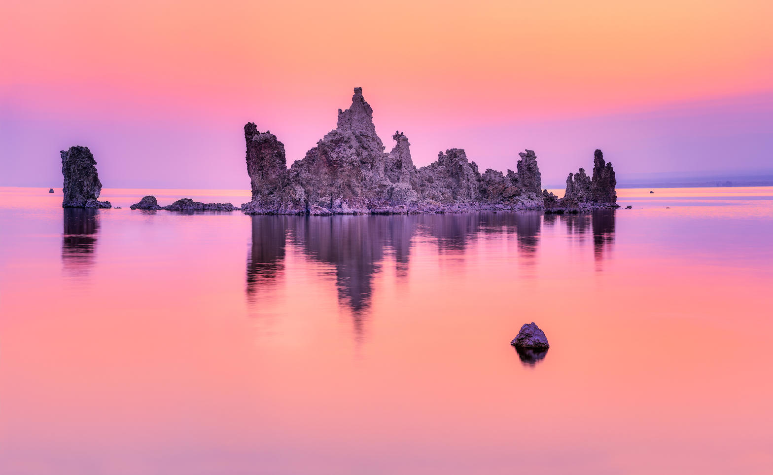
Emerald Bay and Fannette Island

Fig. 1Emerald Bay and Fannette Island

Landform

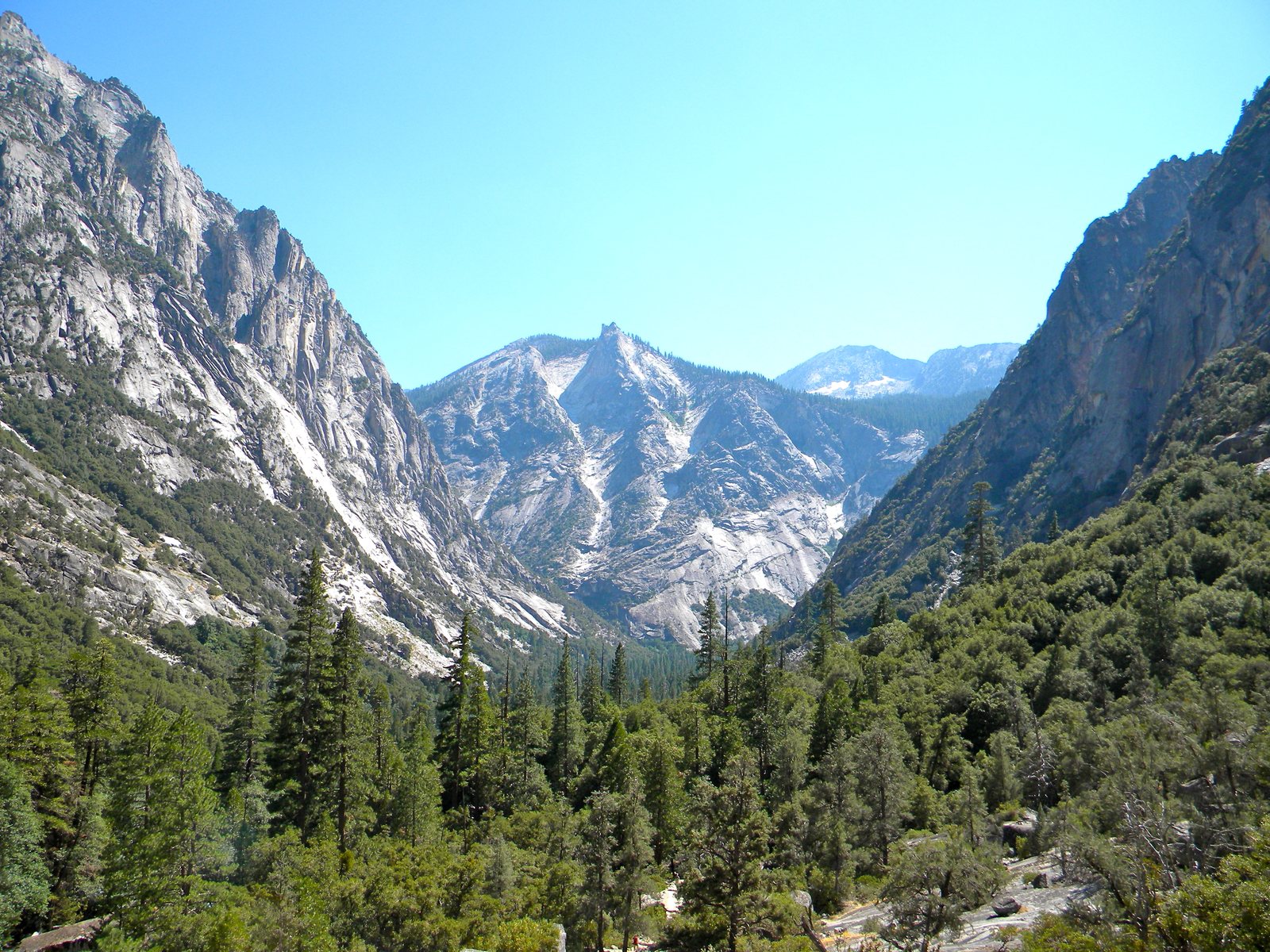
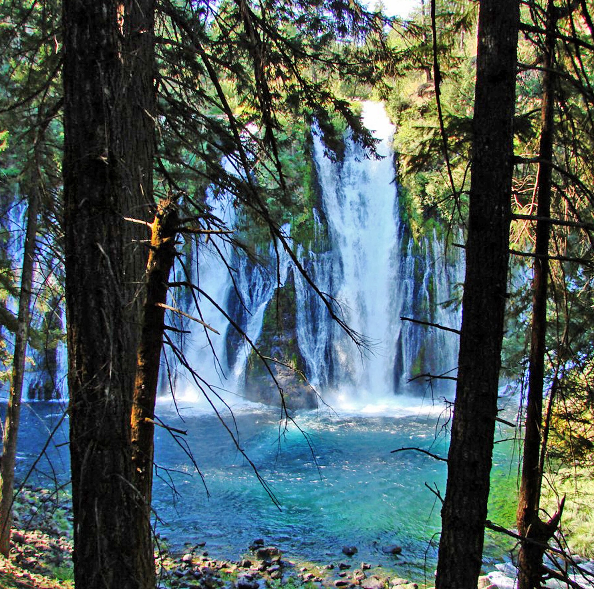
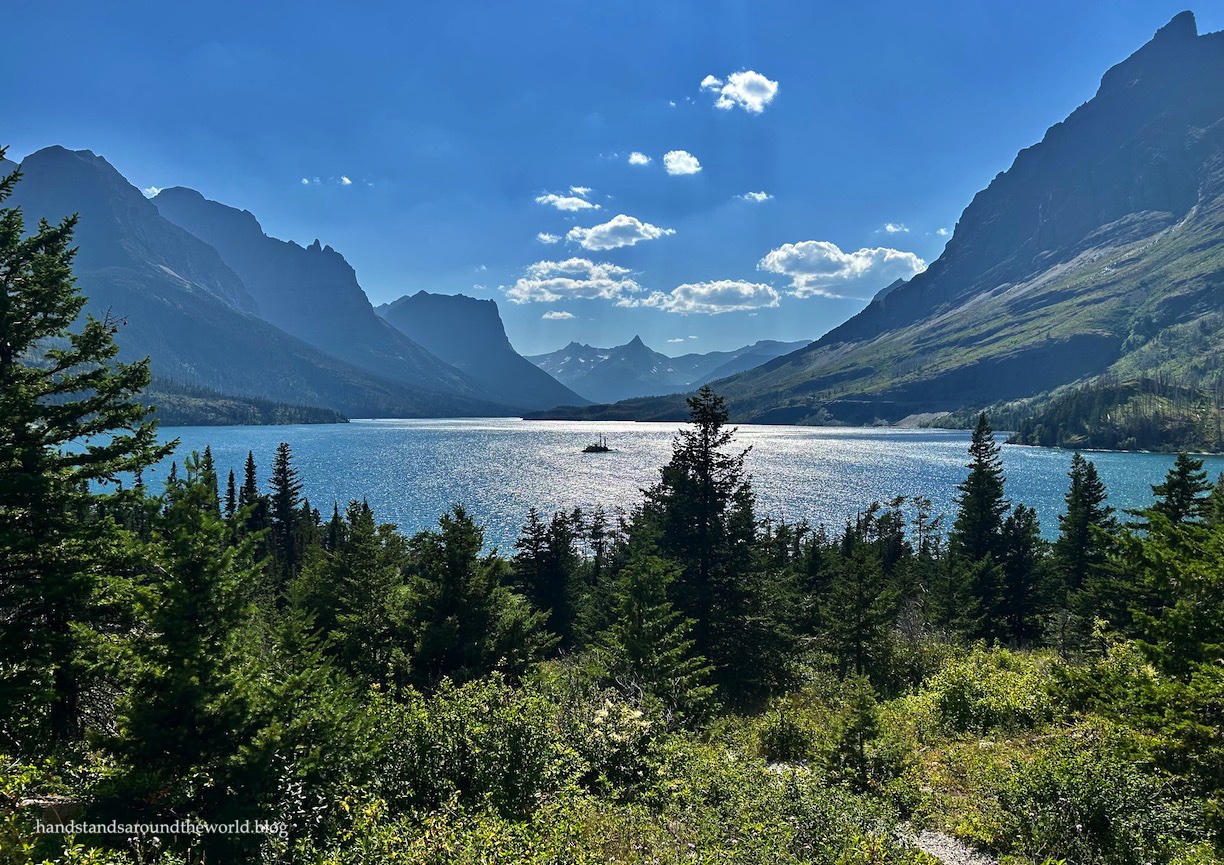
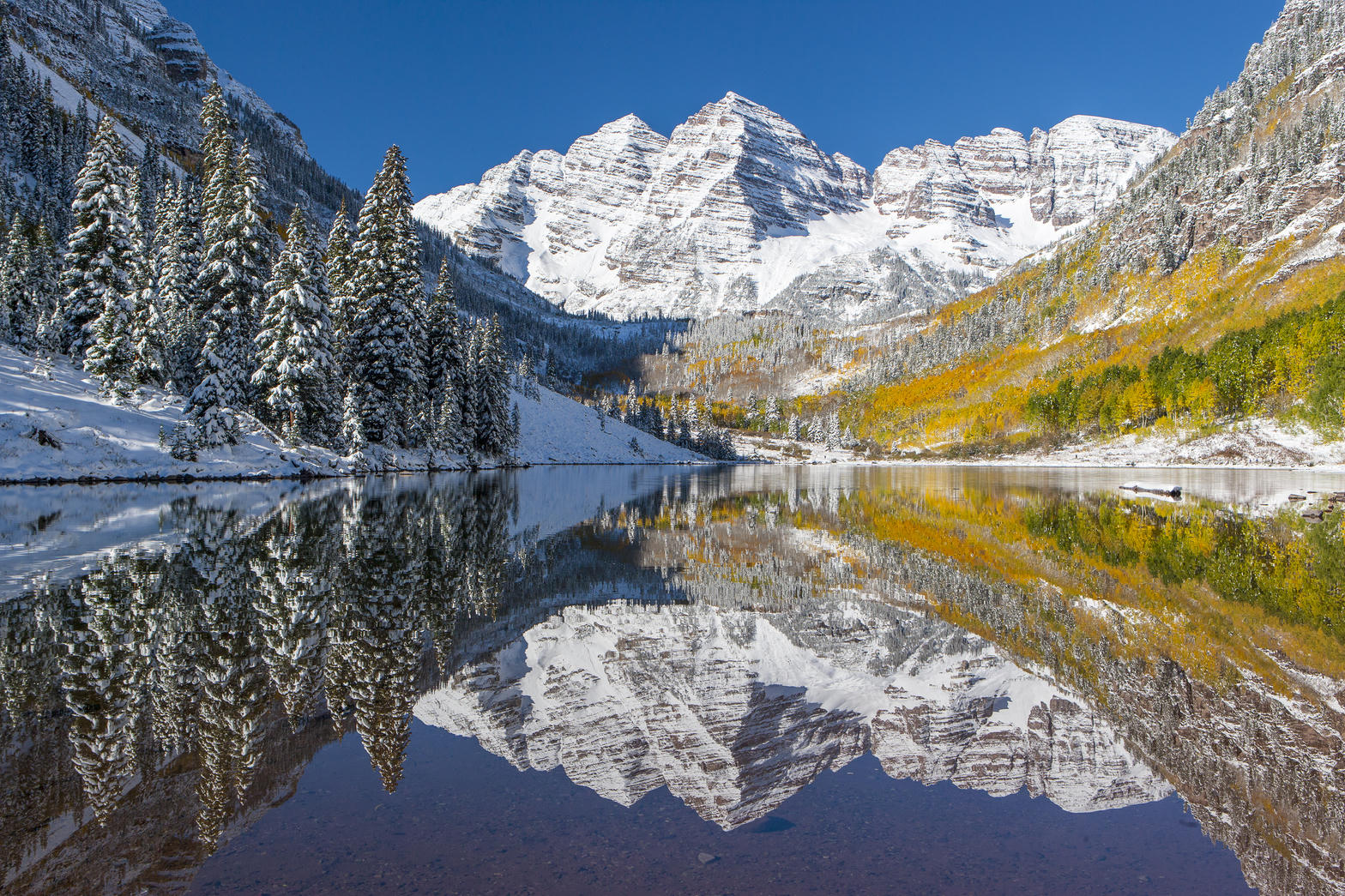
A fault-block alpine lake, second-deepest in the United States. Granite shore, clarity that shows the bottom in sixty feet of water, and a ring of conifer mountains.

Field note

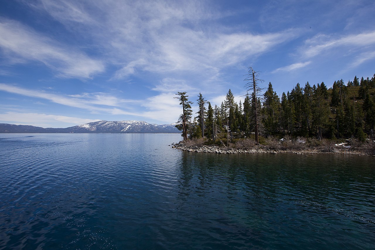
Emerald Bay holds Fannette Island, the lake’s only island. The east shore is drier and clearer; the west shore is forested and steep. Winter puts a white lid on the same water.
A private leaf

Prints from Lake Tahoe


Instant paper, this copy only. Write on the white — a line the walk still owes you.

The prints

0 / 24

Opening the leaf…

Onward

A day's country


The nearest plates, by the miles.

Alpine chapter

More alpine destinations


Other US alpine plates. See all alpine destinations in the USA

Fold-out

On the chart


Vintage map of the United States