State chapter
Wild places in Colorado
Colorado has 42 plates in this atlas, on hills, prairie, canyon, dunes, alpine, forest, and volcanic ground.
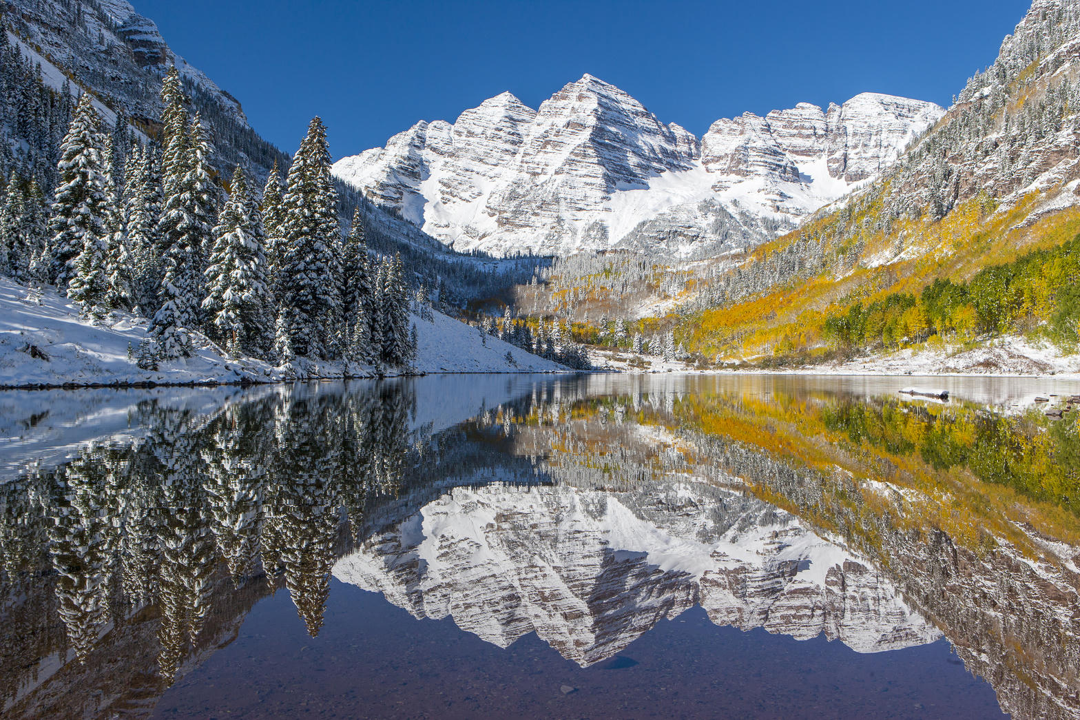
FrontispieceMaroon Bells, Colorado
- Plates
- 42
- Terrains
- Hills, Prairie, Canyon, Dunes, Alpine, Forest, Volcanic
Colorado
The plates
Plate XVIIIMaroon Bells
alpineWhite River National Forest, near Aspen, Colorado
Two matching summits doubled in still water.
39.1° N · 107.0° WOpen plate →
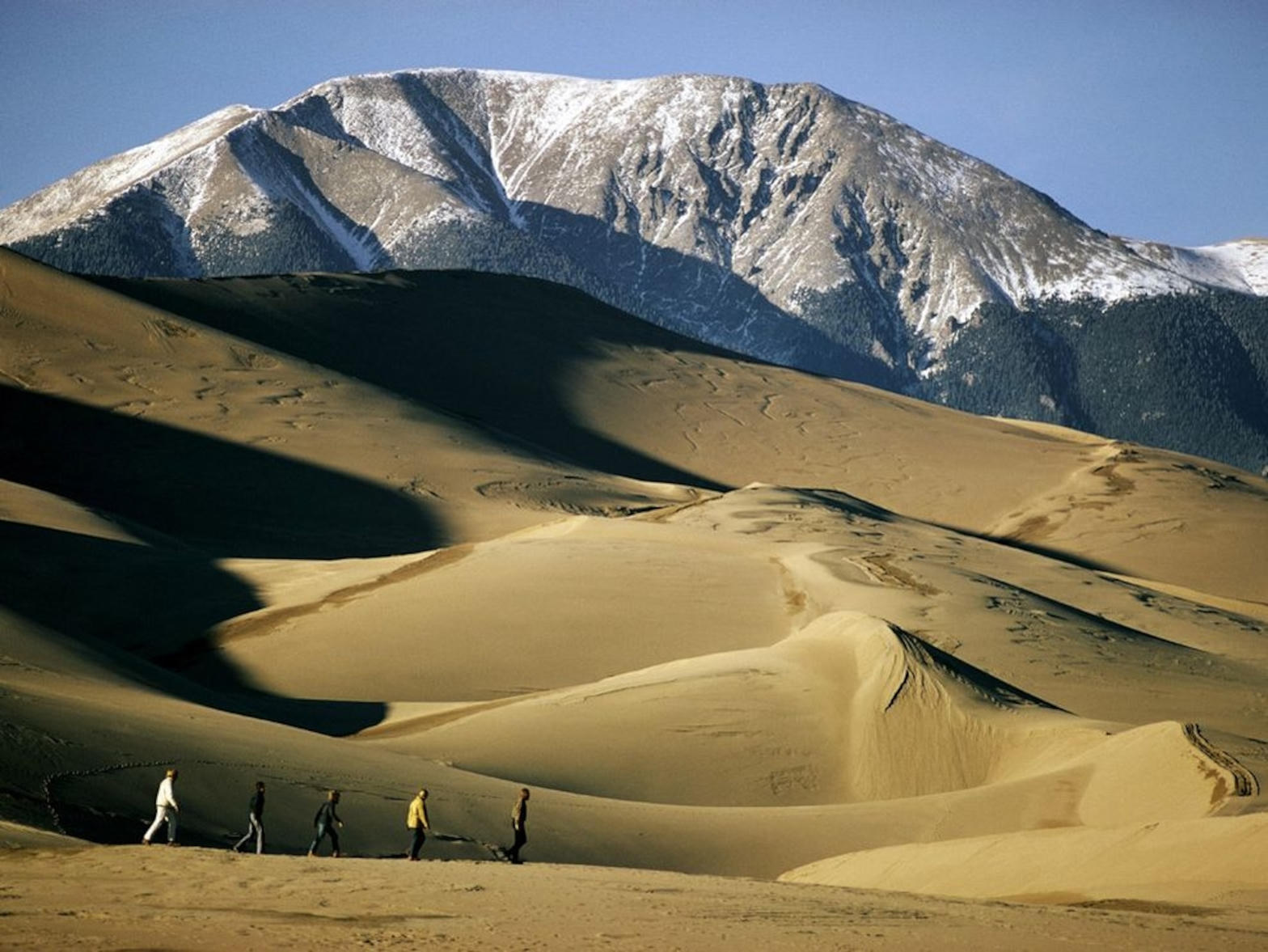 Plate XIX
Great Sand Dunes
duneSan Luis Valley, Colorado
A Sahara parked at the foot of fourteeners.
37.8° N · 105.6° WOpen plate →
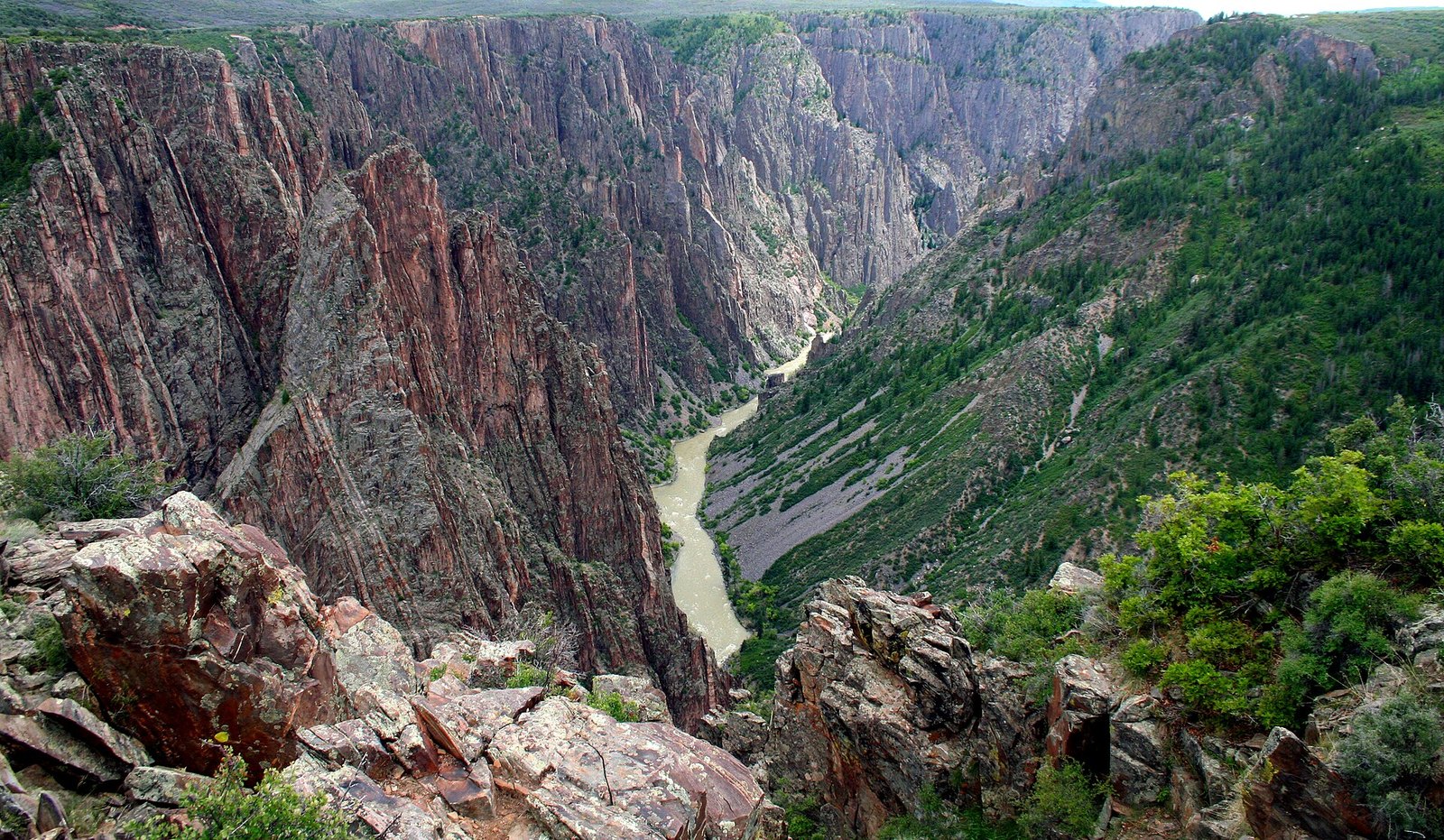 Plate XCVIII
Black Canyon of the Gunnison
canyonGunnison River, Colorado
A canyon so narrow the day never quite arrives.
38.6° N · 107.7° WOpen plate →
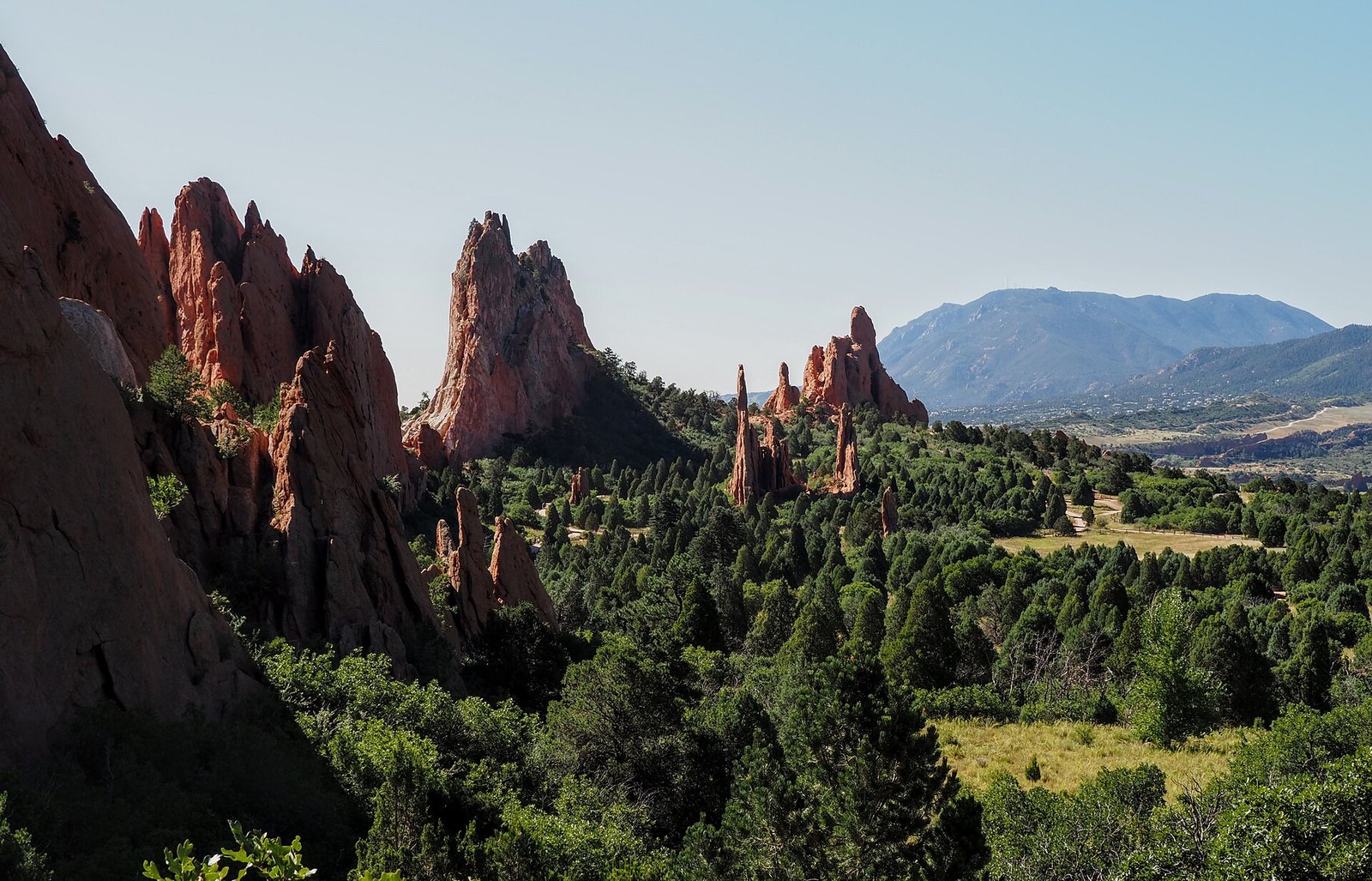 Plate XCIX
Garden of the Gods
hillsColorado Springs, Front Range, Colorado
Red towers holding a mountain in the doorway.
38.9° N · 104.9° WOpen plate →
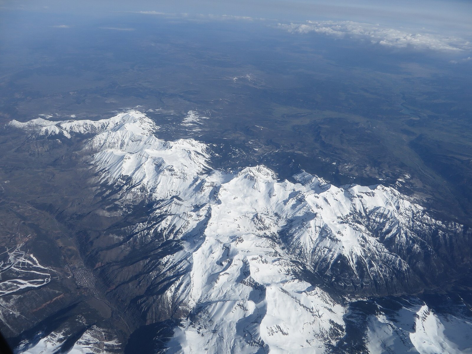 Plate C
Mount Sneffels
alpineSan Juan Mountains, near Ouray, Colorado
A mountain that learned to be a horn.
38.0° N · 107.8° WOpen plate →
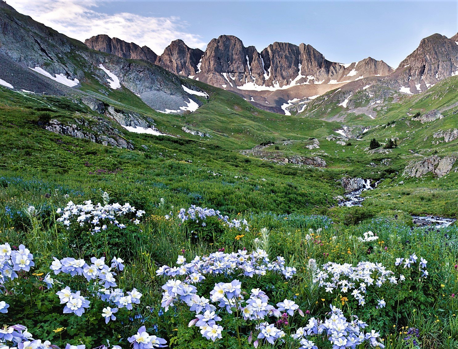 Plate CI
American Basin
alpineHandies Peak, San Juan Mountains, Colorado
A high meadow that blooms like a second sky.
37.9° N · 107.5° WOpen plate →
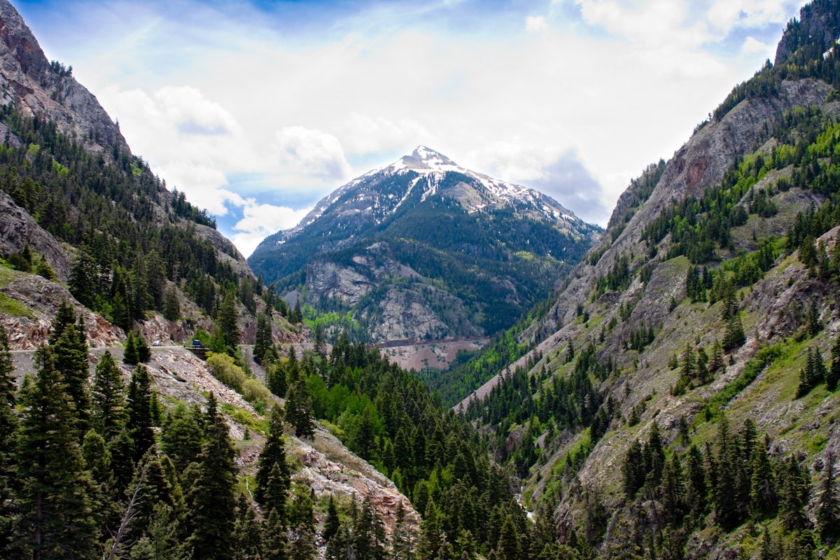 Plate CII
Red Mountain Pass
volcanicMillion Dollar Highway, San Juan Mountains, Colorado
Mountains that rusted in place.
37.9° N · 107.7° WOpen plate →
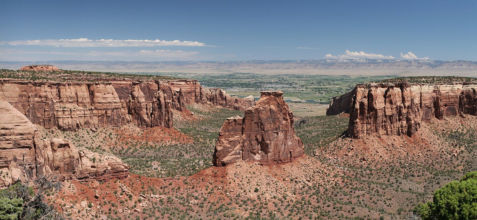 Plate CIII
Colorado National Monument
canyonGrand Valley, near Grand Junction, Colorado
A red canyon country the valley kept for a back wall.
39.0° N · 108.7° WOpen plate →
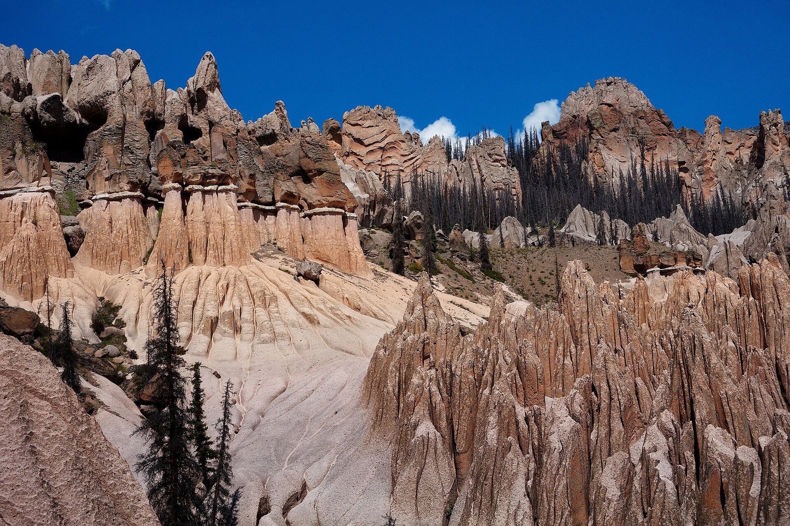 Plate CIV
Wheeler Geologic Area
volcanicLa Garita Wilderness, Colorado
A town the volcano built and the weather unbuilt.
37.9° N · 106.6° WOpen plate →
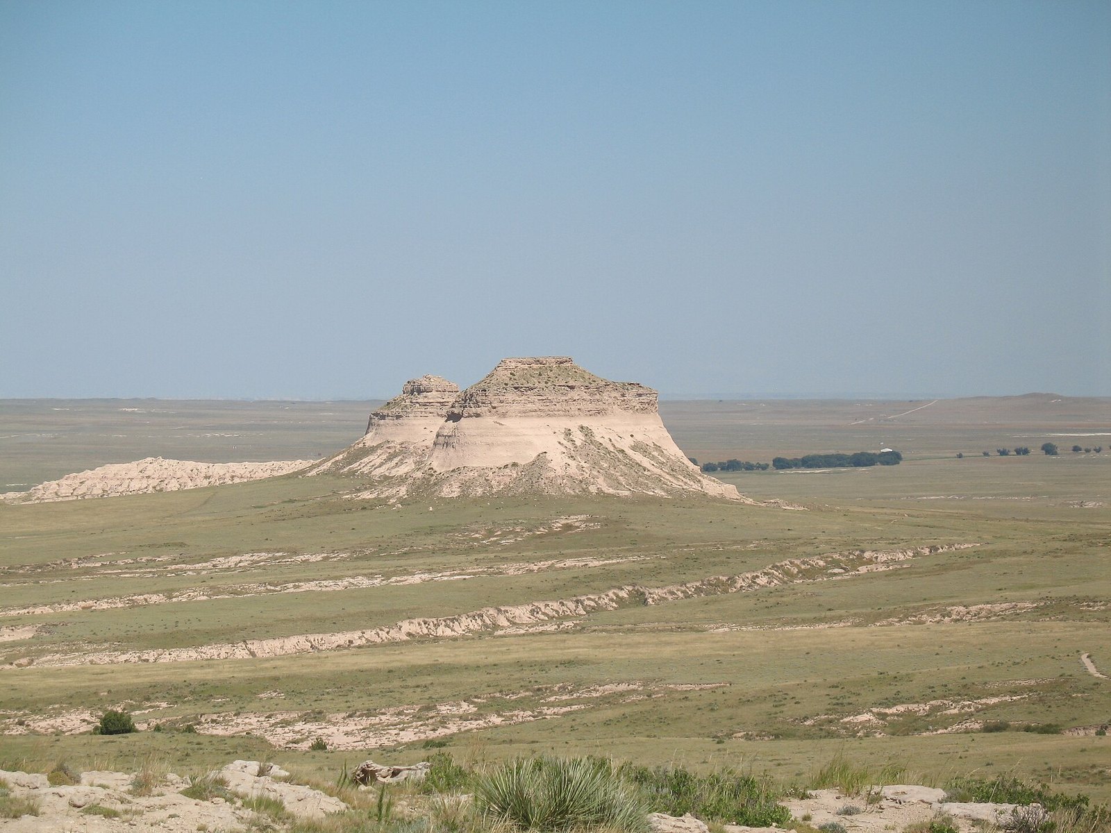 Plate CV
Pawnee Buttes
hillsPawnee National Grassland, Colorado
Two hills the plains forgot to flatten.
40.8° N · 104.0° WOpen plate →
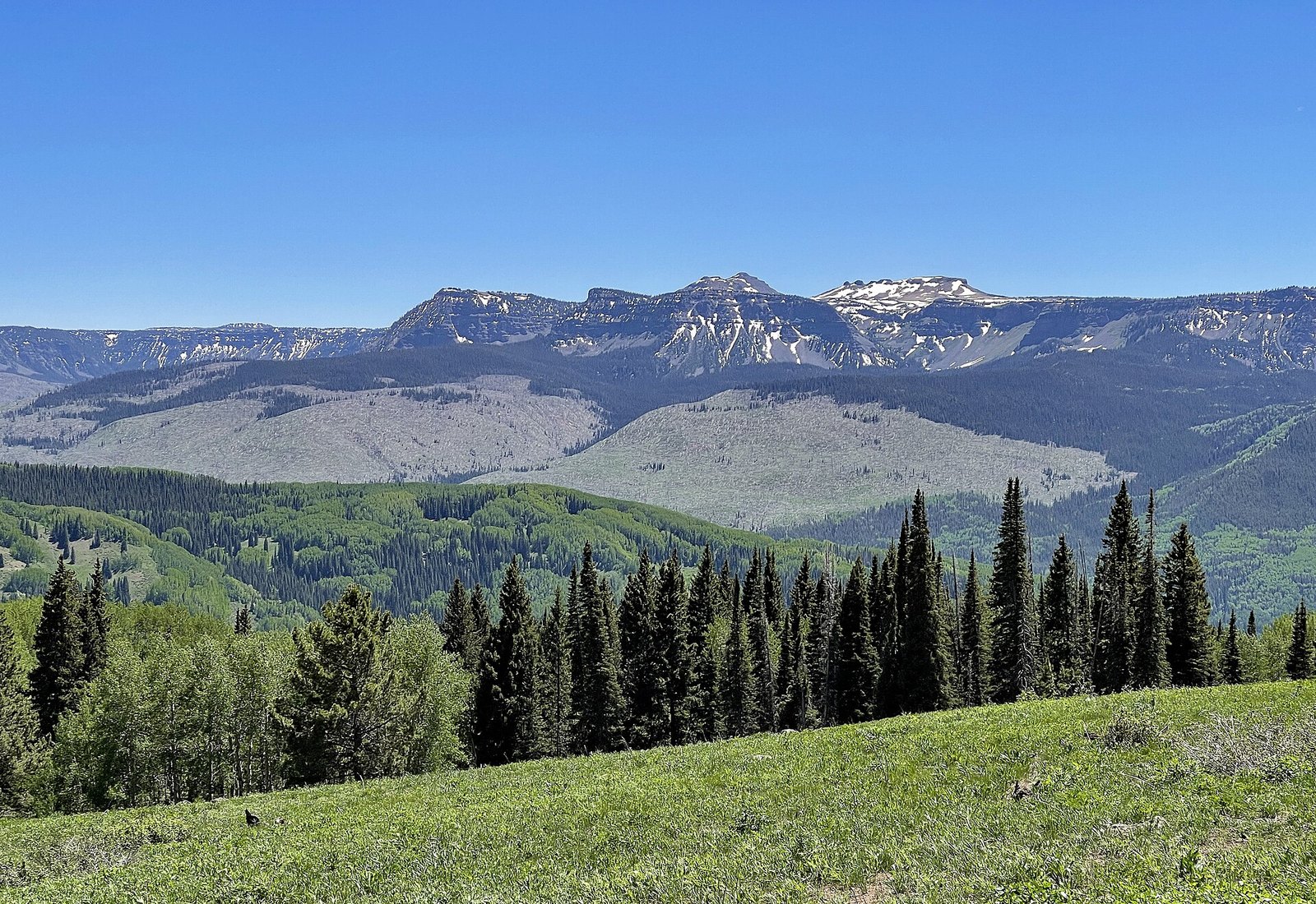 Plate CVI
Flat Tops
hillsWhite River Plateau, Colorado
Mountains that chose to be a table.
40.0° N · 107.3° WOpen plate →
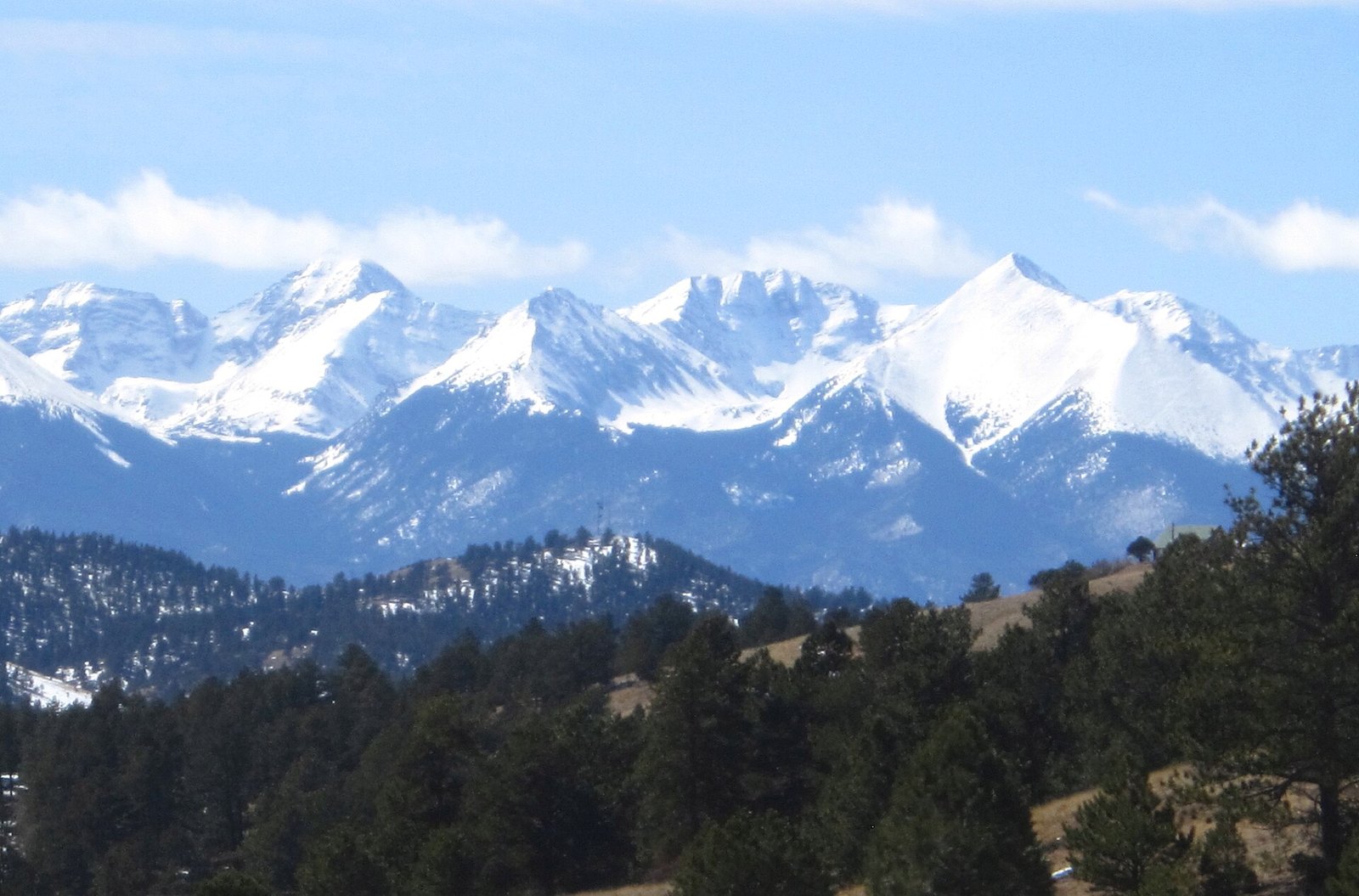 Plate CVII
Sangre de Cristo Range
alpineSan Luis Valley front, Colorado
A range that stands up like a single sentence.
37.6° N · 105.5° WOpen plate →
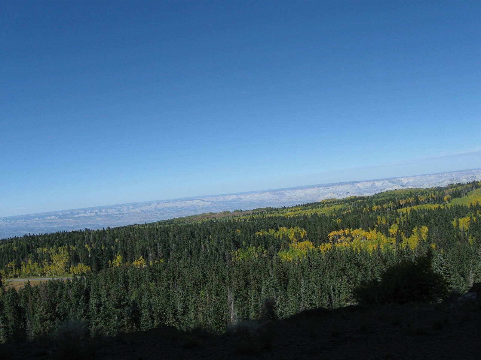 Plate CVIII
Grand Mesa
forestwestern Colorado, above the Grand Valley, Colorado
A forest that learned to live on a table.
39.0° N · 108.0° WOpen plate →
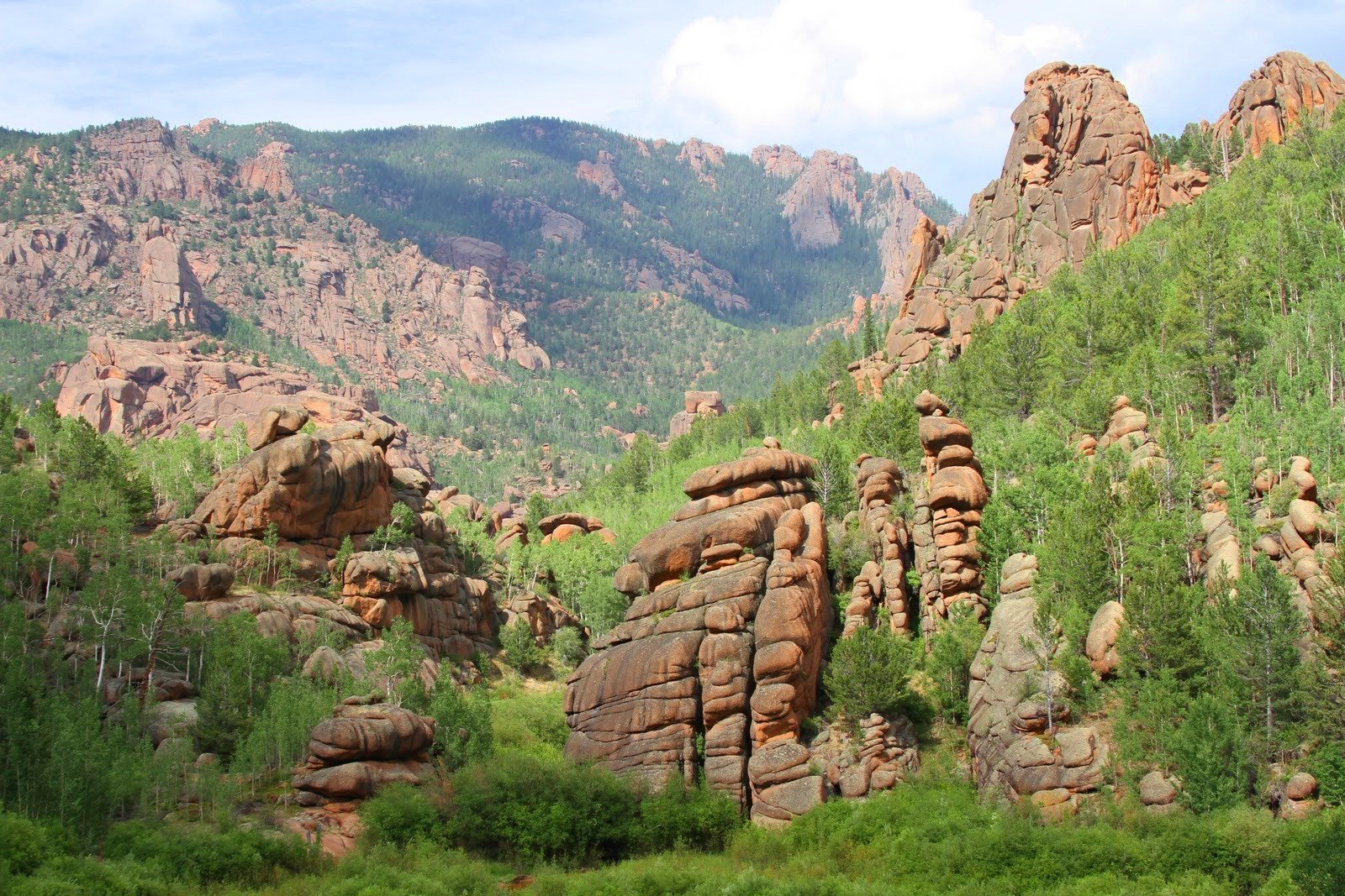 Plate CIX
Lost Creek Wilderness
forestPike National Forest, Front Range, Colorado
A wilderness that hides its own river.
39.3° N · 105.5° WOpen plate →
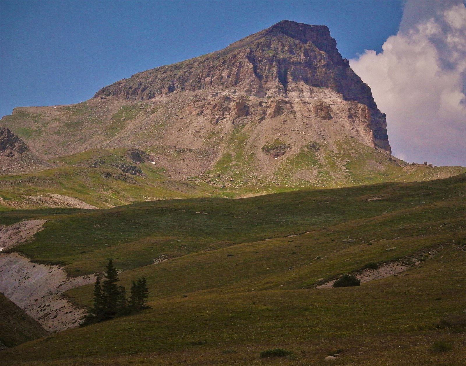 Plate CX
Uncompahgre Peak
alpineSan Juan Mountains, north of Lake City, Colorado
A mountain that chose bulk over a horn.
38.1° N · 107.5° WOpen plate →
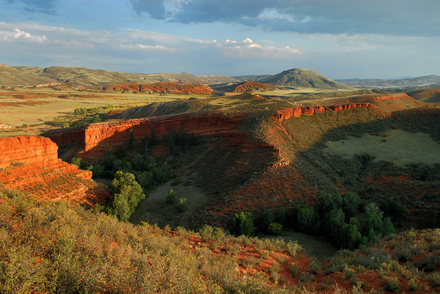 Plate CLXXV
Red Mountain Open Space
hillsLarimer County, on the Wyoming line, Colorado
Red hills the prairie kept.
41.0° N · 105.2° WOpen plate →
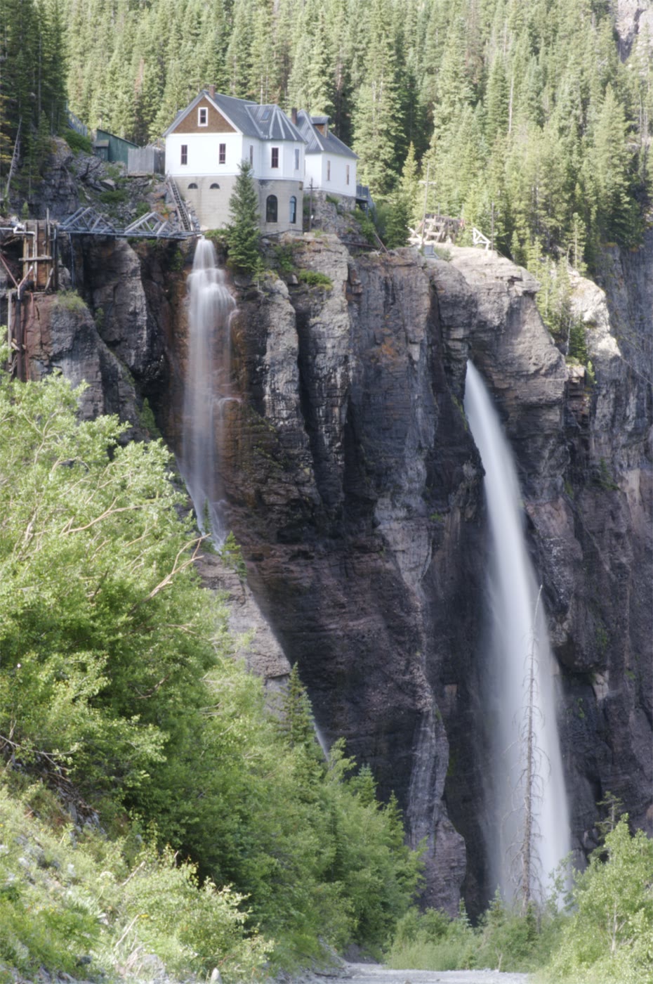 Plate CLXXVI
Bridal Veil Falls
alpinehead of the box canyon, Telluride, Colorado
A white thread the canyon kept for a last wall.
37.9° N · 107.8° WOpen plate →
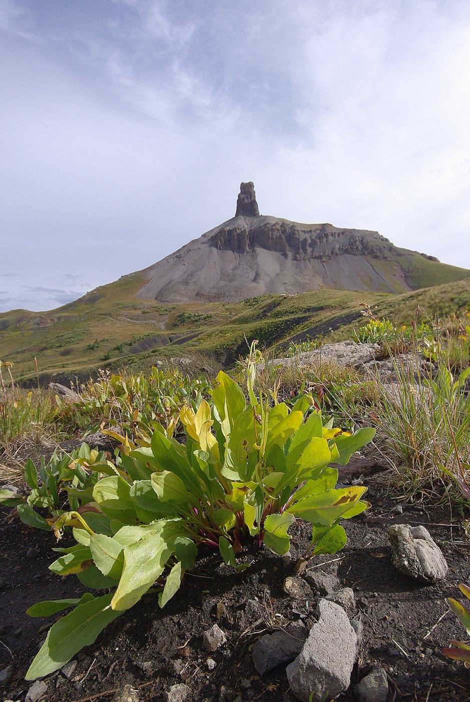 Plate CLXXVII
Lizard Head
alpineSan Juan Mountains, above Lizard Head Pass, Colorado
A tooth the volcano left standing.
37.8° N · 108.0° WOpen plate →
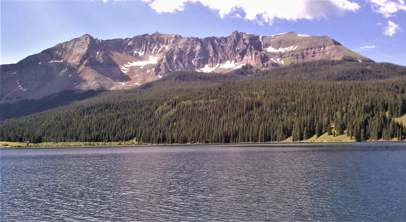 Plate CLXXVIII
Trout Lake
alpinenear Lizard Head Pass, Colorado
Sheep Mountain held in still water.
37.8° N · 107.9° WOpen plate →
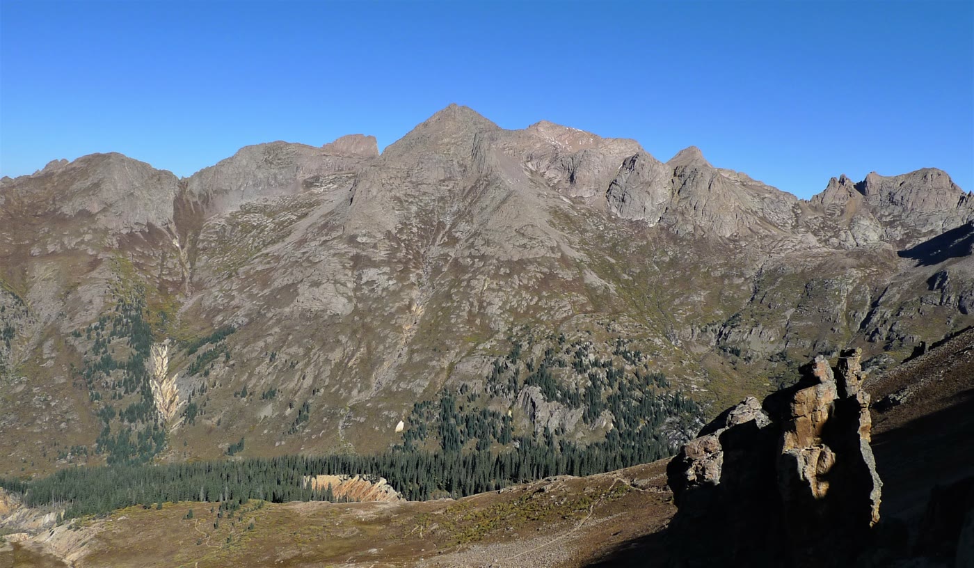 Plate CLXXIX
Chicago Basin
alpineNeedle Mountains, Weminuche Wilderness, Colorado
A granite room the Needles kept.
37.6° N · 107.6° WOpen plate →
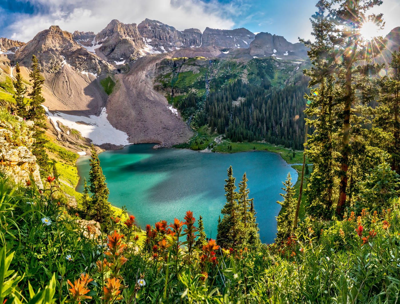 Plate CLXXX
Blue Lakes
alpinebelow Mount Sneffels, Dallas Peak wall, Colorado
Turquoise water the cirque kept.
38.0° N · 107.8° WOpen plate →
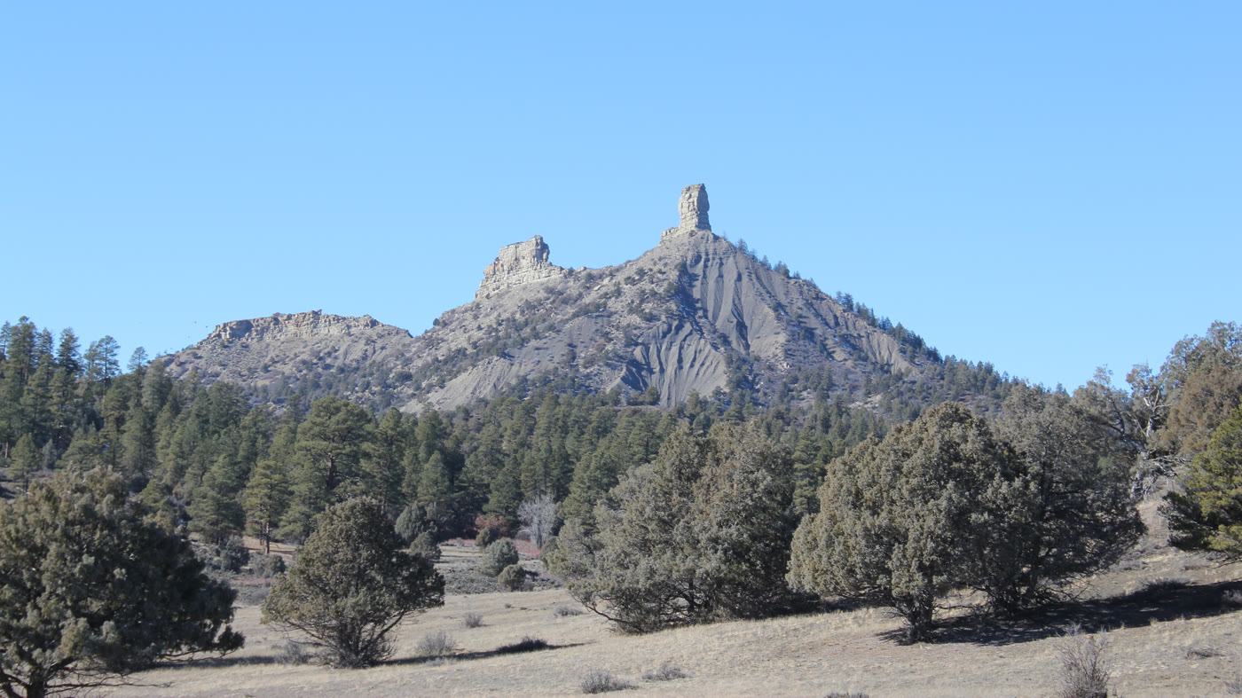 Plate CLXXXI
Chimney Rock
hillsNational Monument, near Pagosa Springs, Colorado
Two stones the mesa stood on end.
37.2° N · 107.3° WOpen plate →
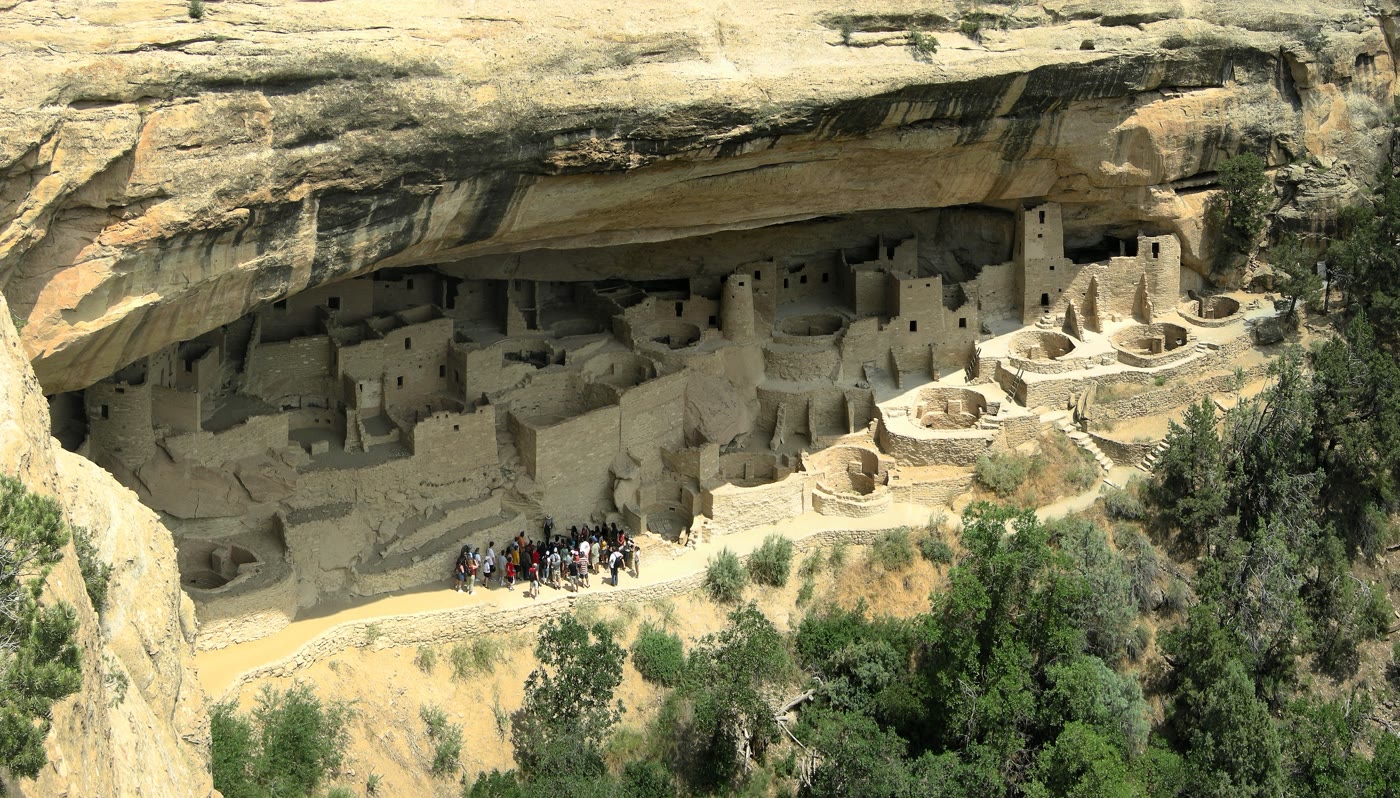 Plate CLXXXII
Mesa Verde
canyonCliff Palace, Mesa Verde National Park, Colorado
A village the cliff still holds.
37.2° N · 108.5° WOpen plate →
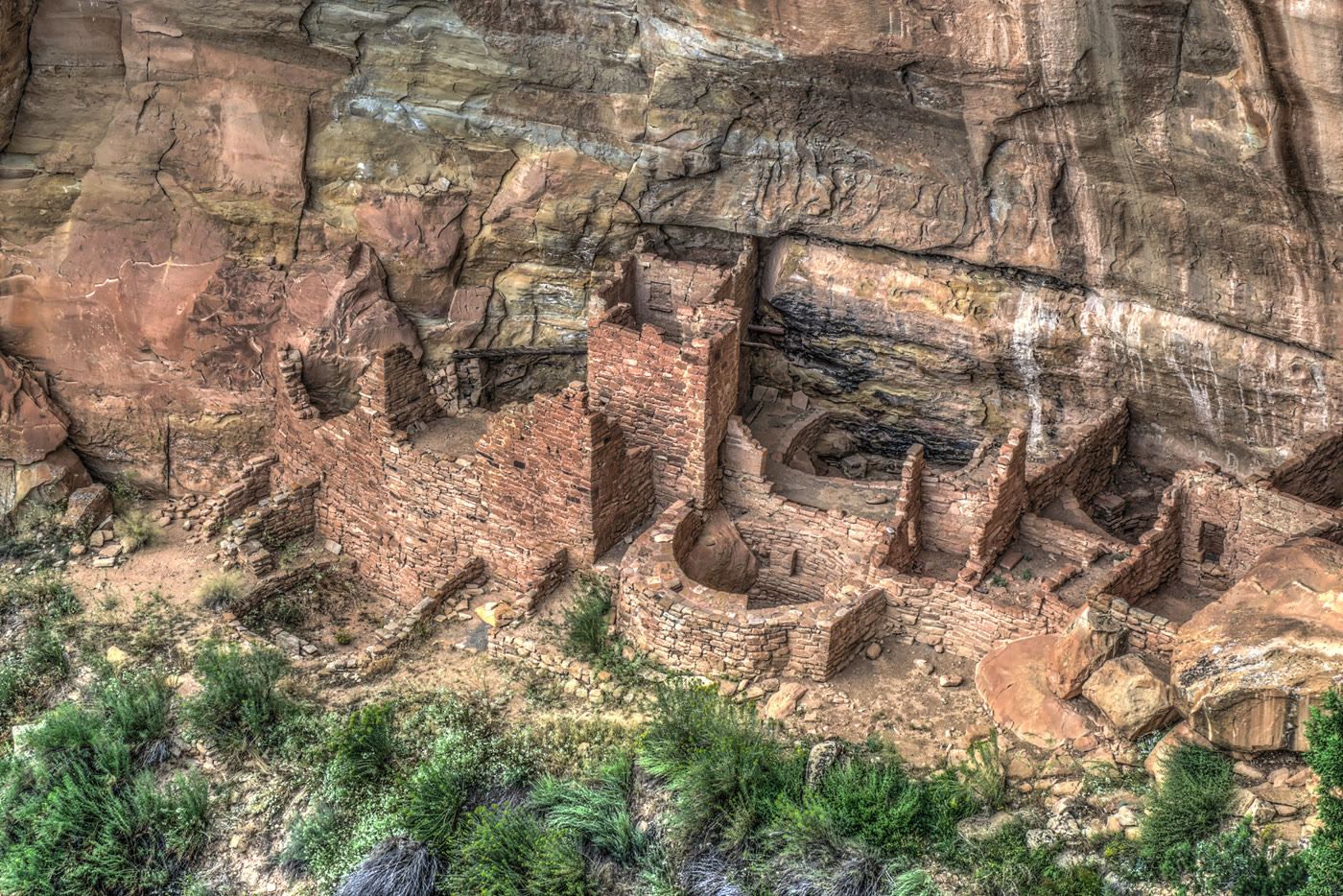 Plate CLXXXIII
Square Tower House
canyonMesa Verde National Park, Colorado
A tower the alcove kept standing.
37.2° N · 108.5° WOpen plate →
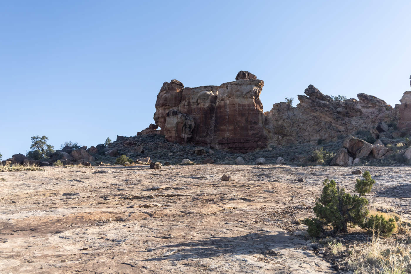 Plate CLXXXIV
Canyons of the Ancients
canyonwest of Cortez, BLM, Colorado
Homes set into red stone west of Cortez.
37.4° N · 109.0° WOpen plate →
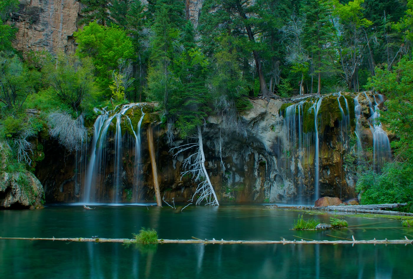 Plate CLXXXV
Hanging Lake
alpineGlenwood Canyon, Colorado
A green bowl the canyon hid on a shelf.
39.6° N · 107.2° WOpen plate →
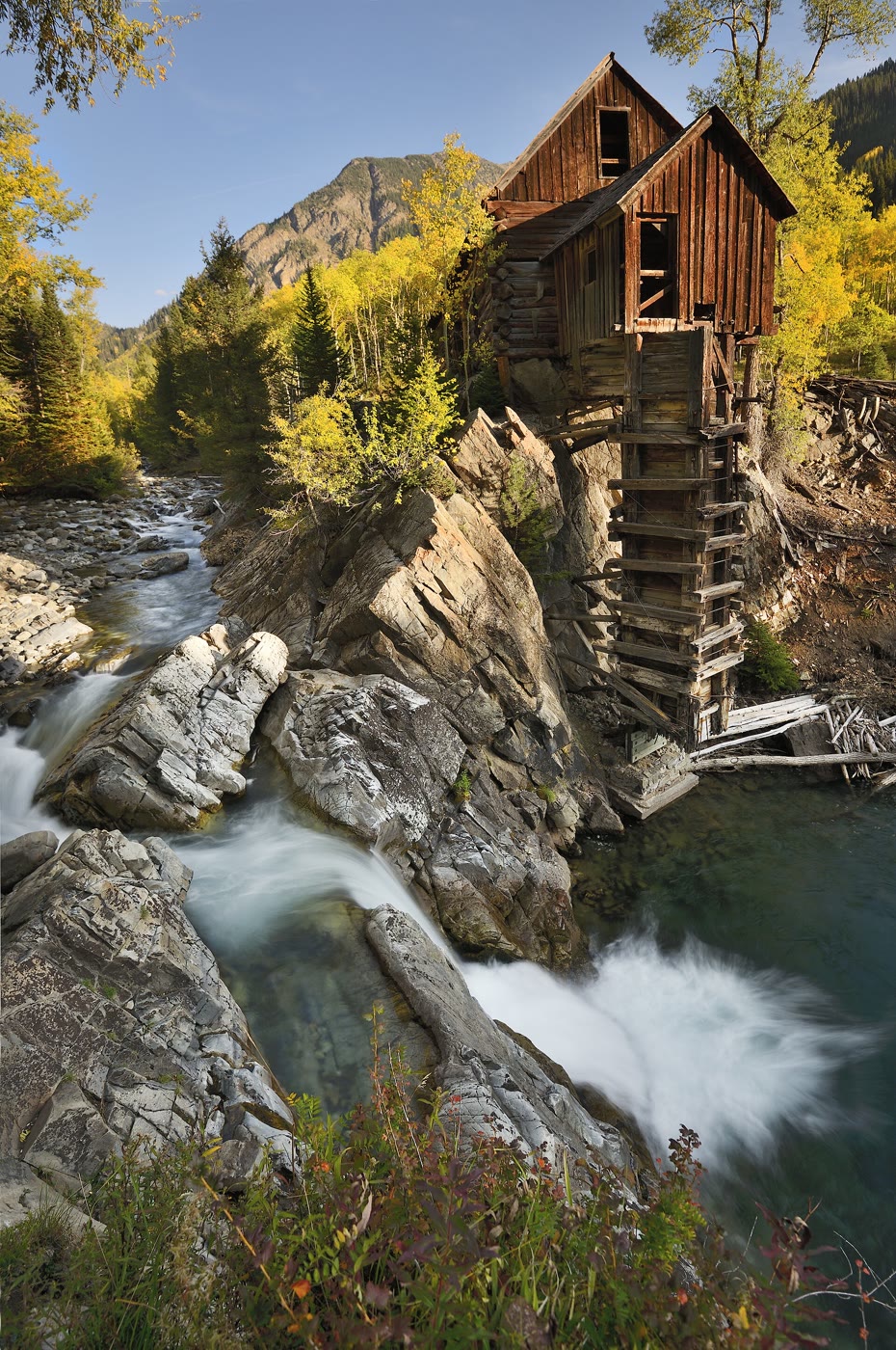 Plate CLXXXVI
Crystal Mill
alpineCrystal, on the Crystal River, Colorado
A wooden house the river kept on a rock.
39.1° N · 107.1° WOpen plate →
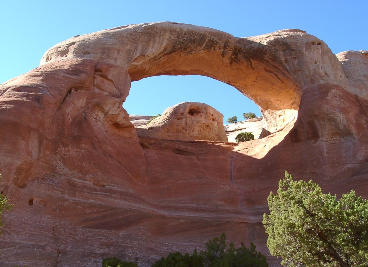 Plate CLXXXVII
Rattlesnake Canyon
canyonMcInnis Canyons NCA, west of Grand Junction, Colorado
A red window the canyon cut and kept.
39.2° N · 108.9° WOpen plate →
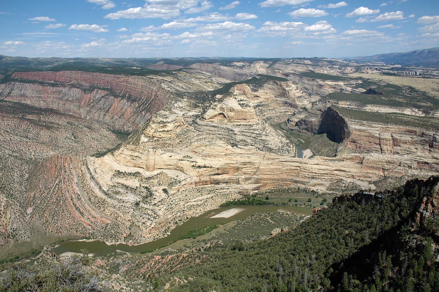 Plate CLXXXVIII
Harper's Corner
canyonEcho Park, Dinosaur National Monument, Colorado
A river that learned to go around a ship of stone.
40.5° N · 109.0° WOpen plate →
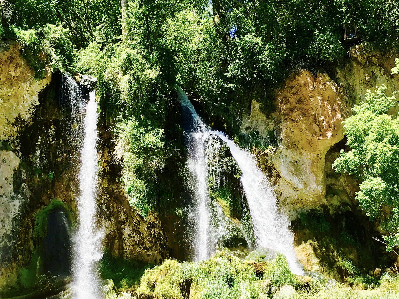 Plate CLXXXIX
Rifle Falls
canyonEast Rifle Creek, Colorado
Three white ropes the limestone let go.
39.7° N · 107.7° WOpen plate →
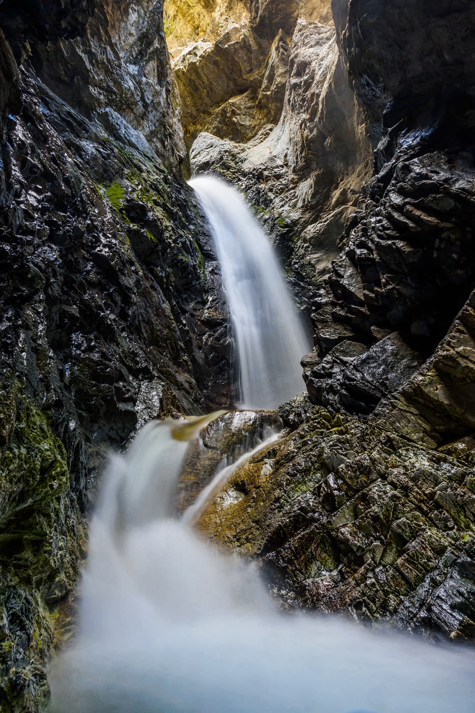 Plate CXC
Zapata Falls
canyonnear Great Sand Dunes, Colorado
A white fall the mountain hid in a crack.
37.6° N · 105.6° WOpen plate →
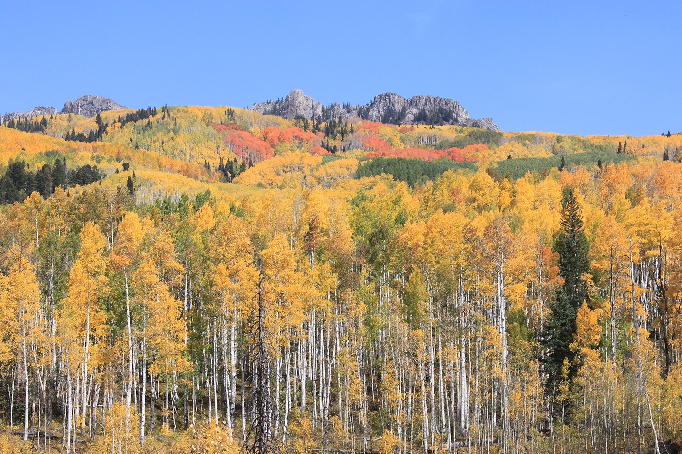 Plate CXCI
Kebler Pass
forestWest Elk Mountains, Colorado
A gold hillside the clones kept together.
38.9° N · 107.1° WOpen plate →
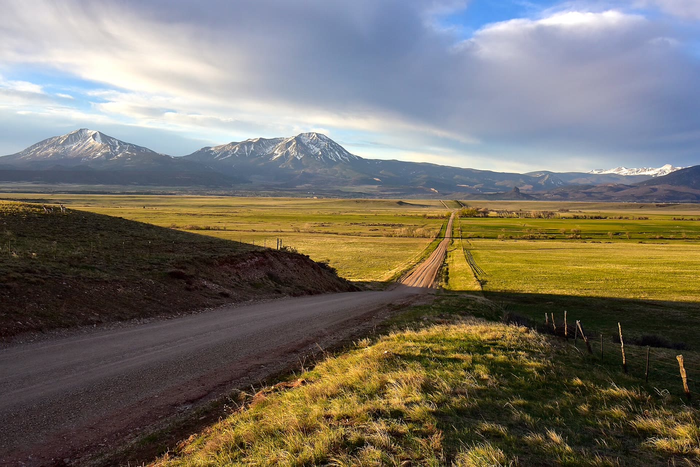 Plate CXCII
Spanish Peaks
volcanicnear La Veta, southern plains, Colorado
Two volcanoes the plains could not wear down.
37.4° N · 105.0° WOpen plate →
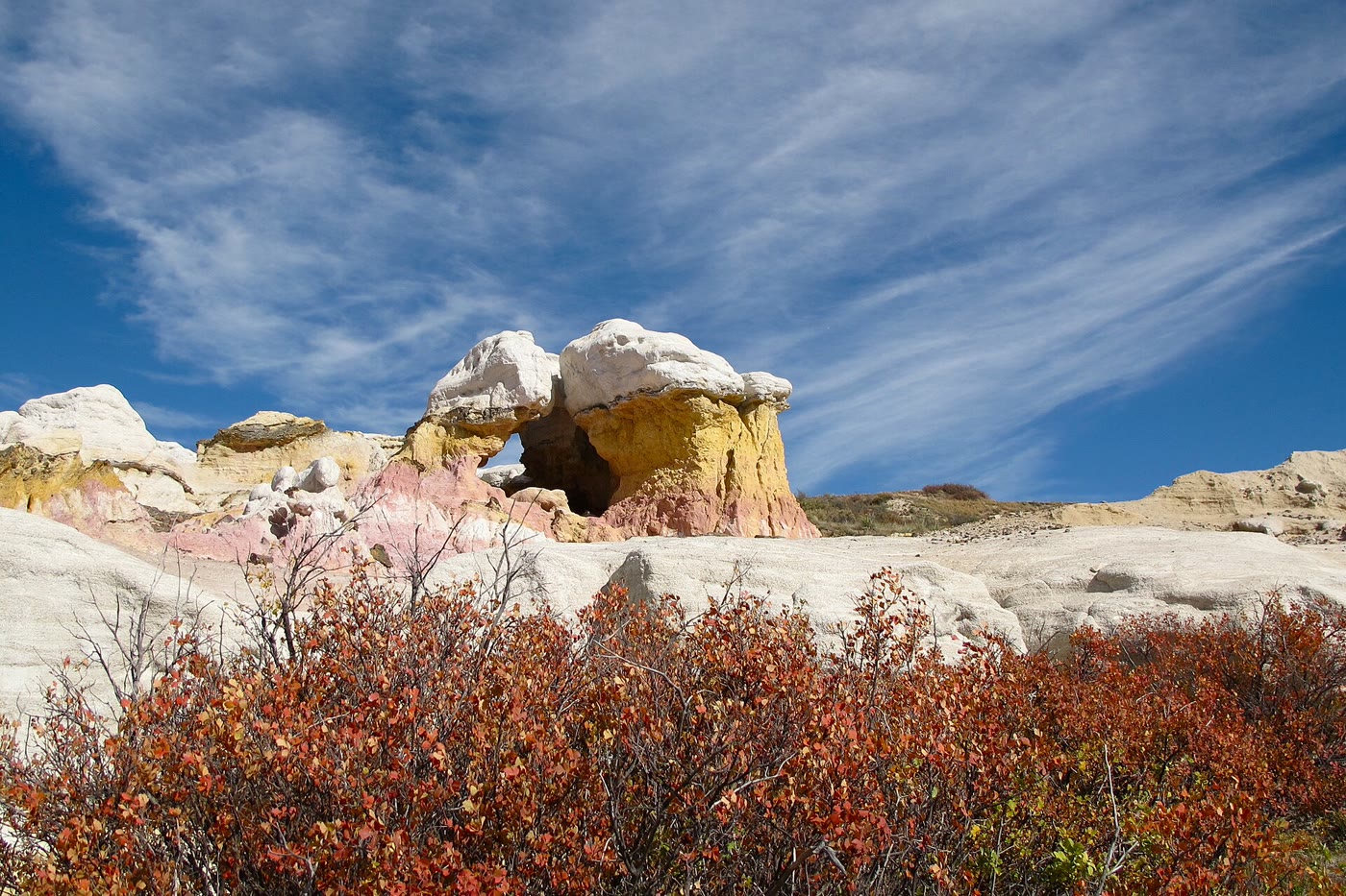 Plate CXCIII
Paint Mines
hillsInterpretive Park, Calhan, Colorado
Color the prairie left standing as towers.
39.0° N · 104.3° WOpen plate →
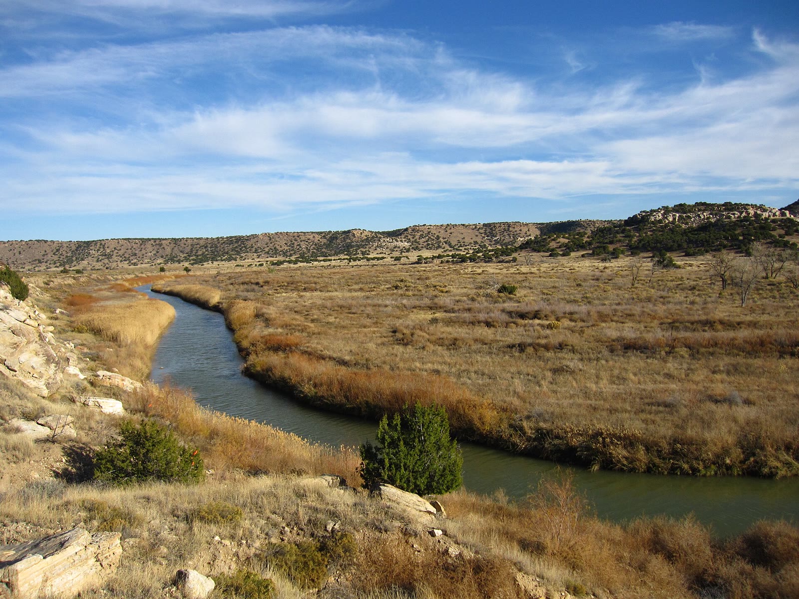 Plate CCLXV
Comanche National Grassland
prairiePicketwire Canyon, Las Animas County, Colorado
Prairie that opens a canyon the plains hid.
37.7° N · 104.0° WOpen plate →
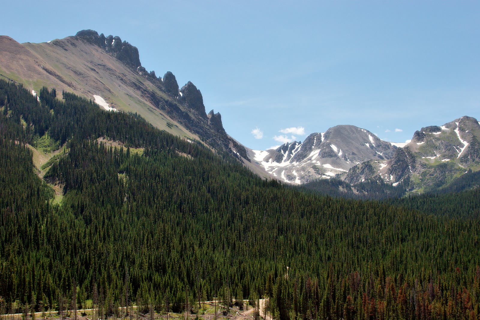 Plate CCLXXIV
State Forest State Park
alpineNokhu Crags, Never Summer Range, Colorado
The crags Rocky Mountain Park looks at and does not keep.
40.7° N · 106.0° WOpen plate →
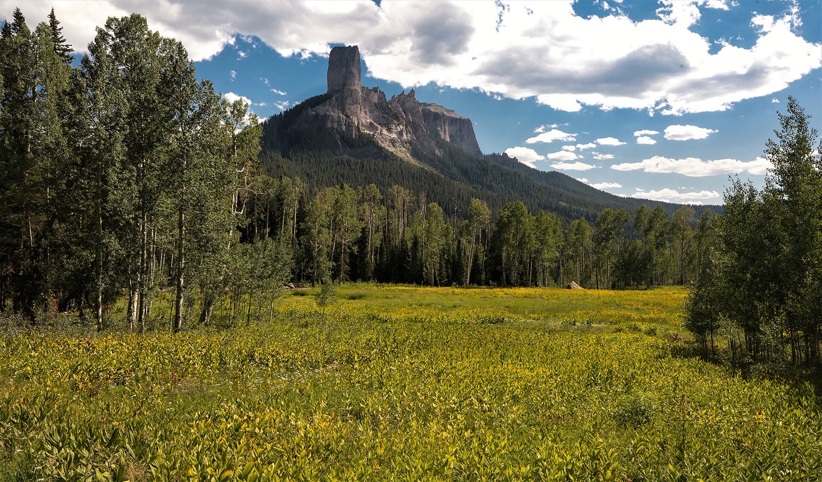 Plate CCLXXX
Silver Jack
alpineCimarron Ridge, Uncompahgre NF, Colorado
A reservoir the Cimarron walls still keep.
38.2° N · 107.5° WOpen plate →
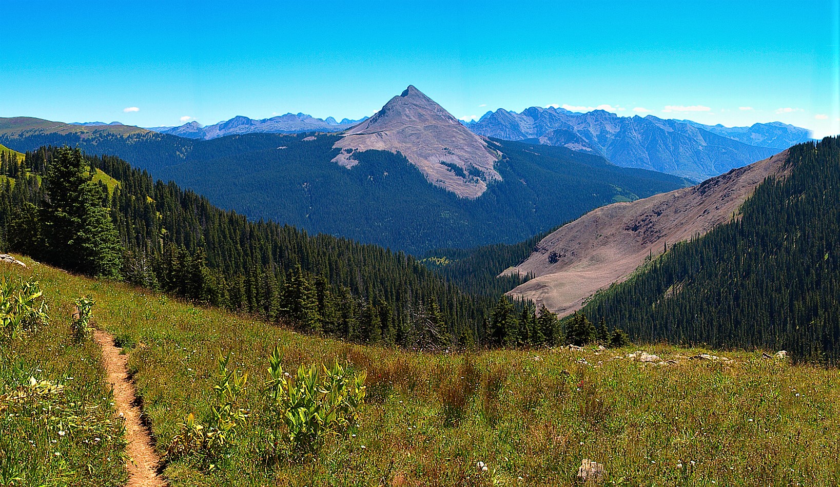 Plate CCLXXXI
Columbine
alpineColumbine high country, San Juan NF, Colorado
A red-banded horn the Columbine forest still looks at.
37.7° N · 107.8° WOpen plate →
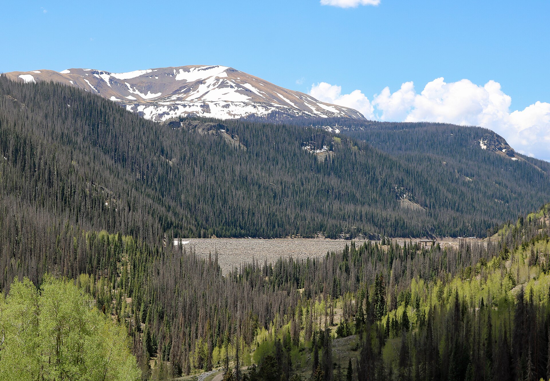 Plate CCLXXXII
Platoro
alpineConejos River, Rio Grande high country, Colorado
A reservoir the Conejos walls still keep.
37.4° N · 106.5° WOpen plate →
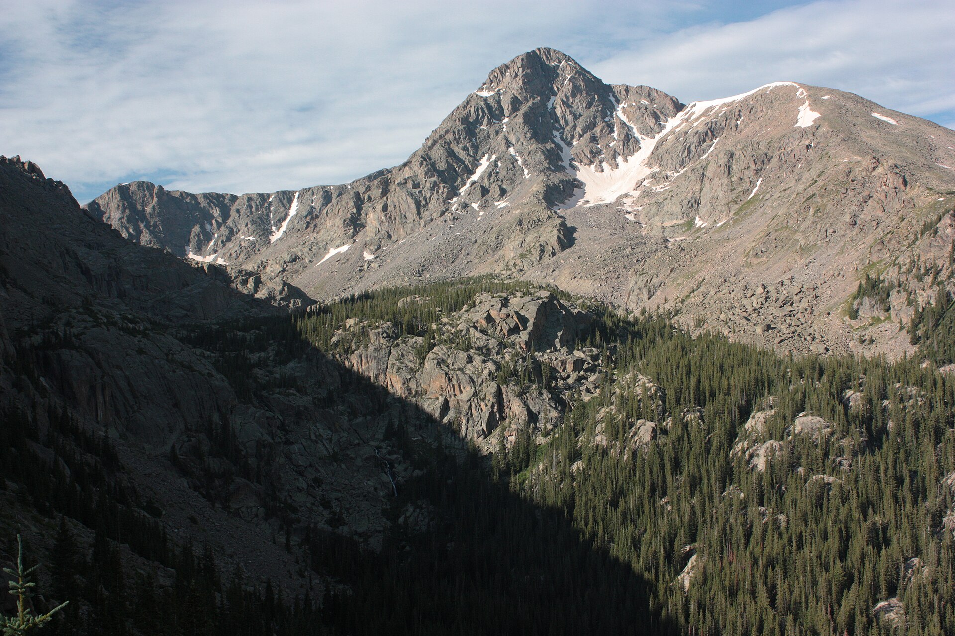 Plate CCLXXXIII
Holy Cross
alpineHoly Cross Wilderness, White River NF, Colorado
A cross of snow the wilderness still keeps.
39.5° N · 106.5° WOpen plate →
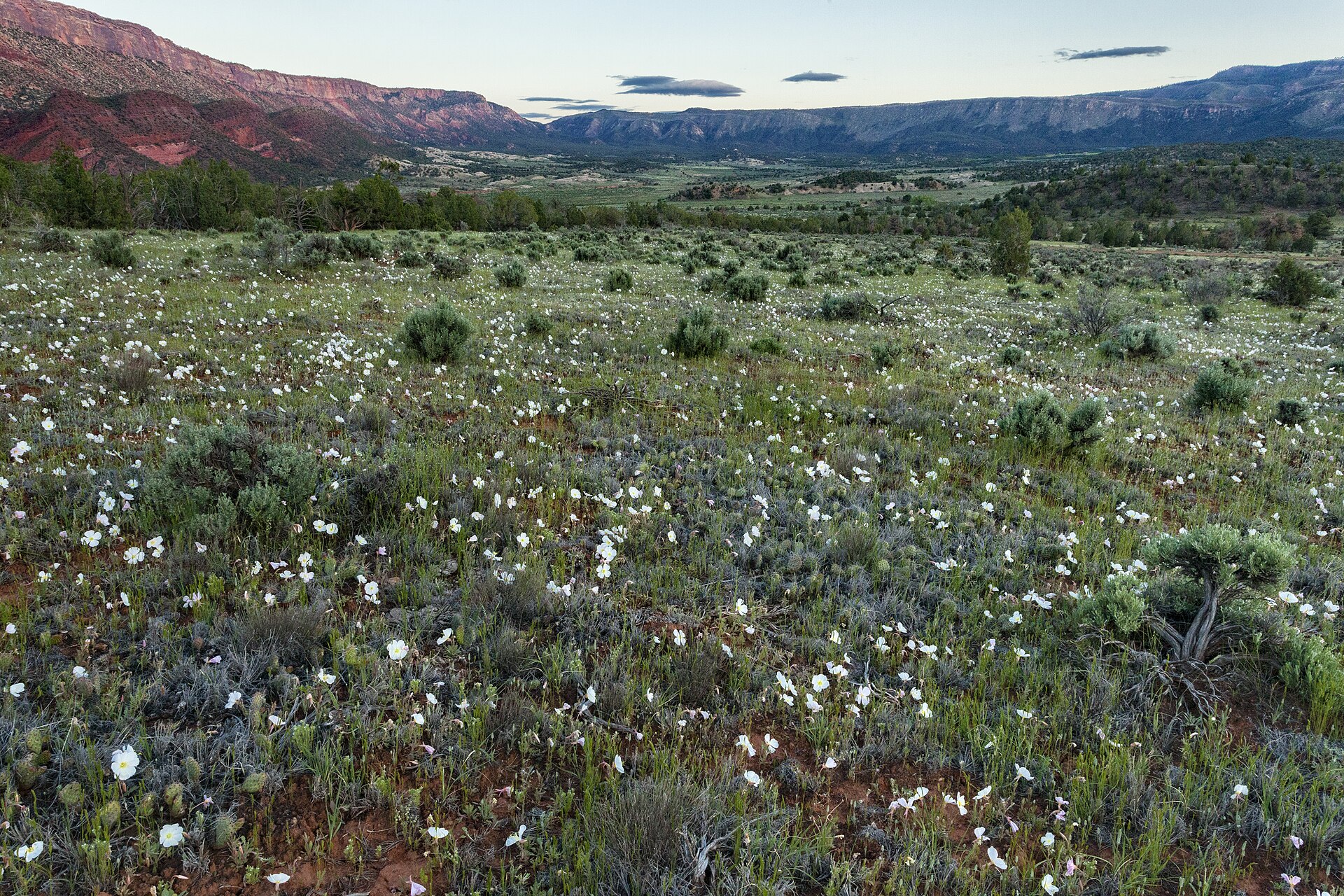 Plate CCXC
Uncompahgre Plateau
hillsSewemup and Unaweep country, Uncompahgre NF, Colorado
A mesa the forest still keeps high.
38.5° N · 108.6° WOpen plate →
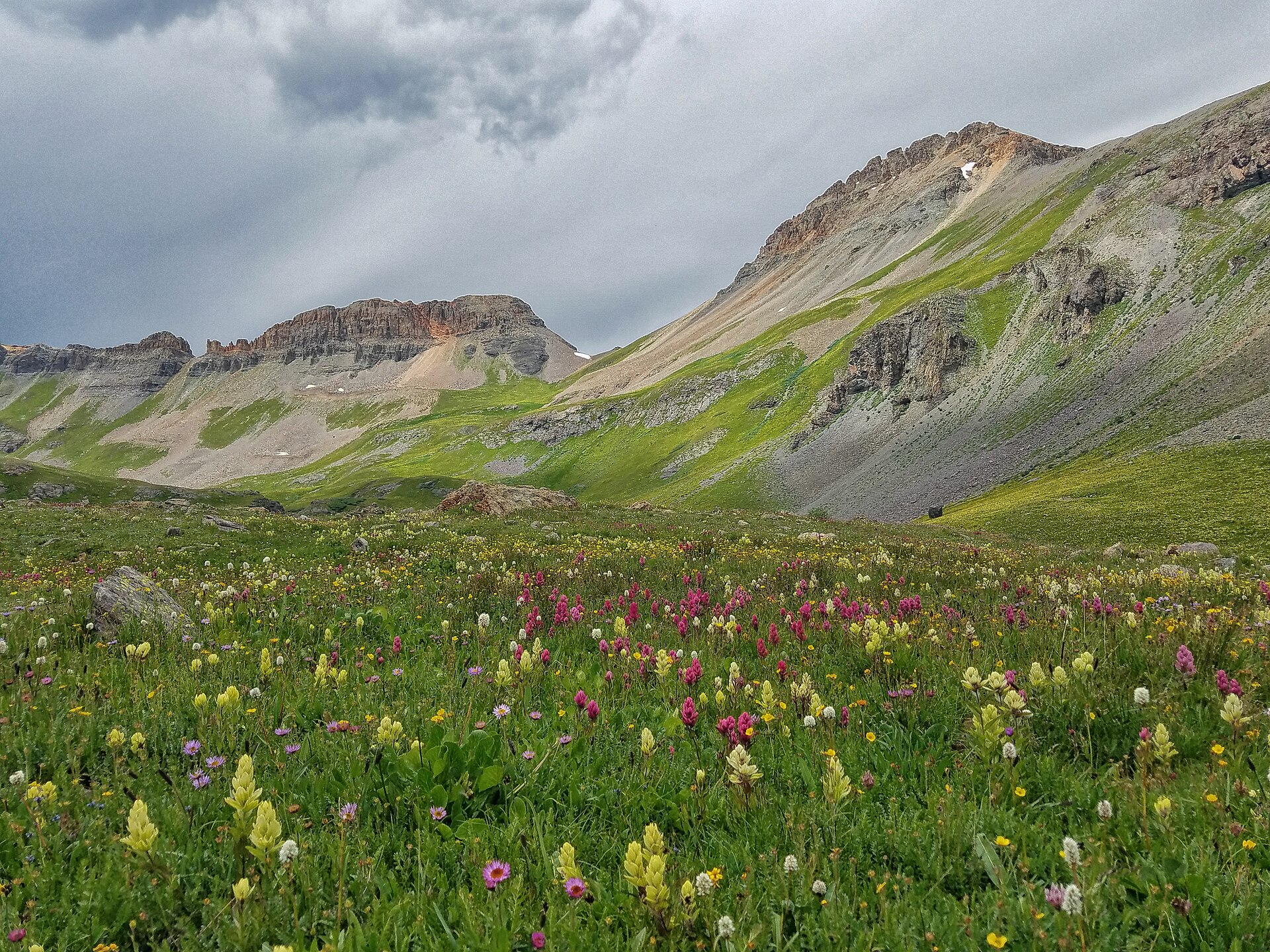 Plate CCCLVII
Ice Lake
alpineIce Lake Basin, San Juan National Forest, Colorado
A high turquoise bowl above Silverton.
37.8° N · 107.8° WOpen plate →