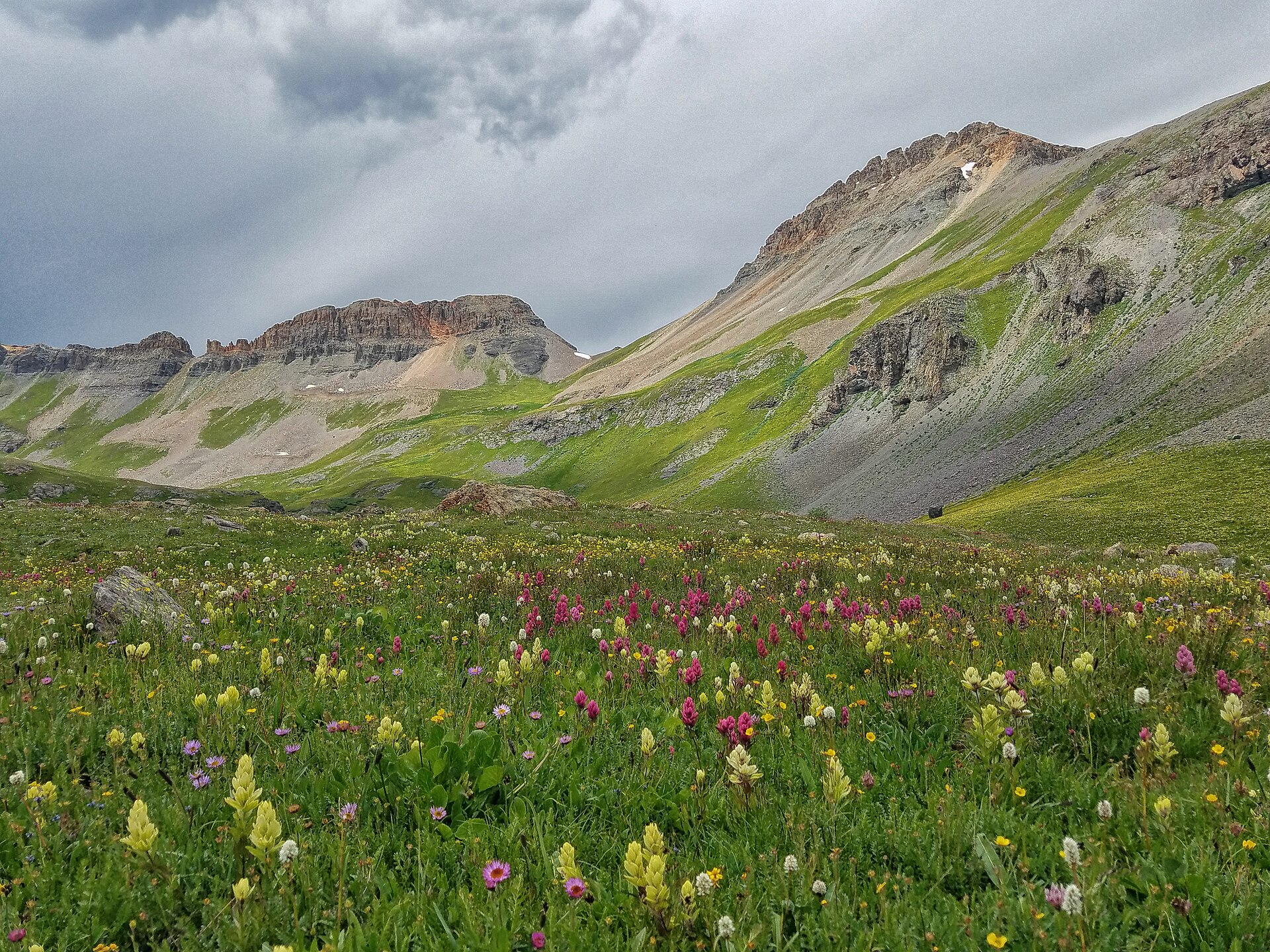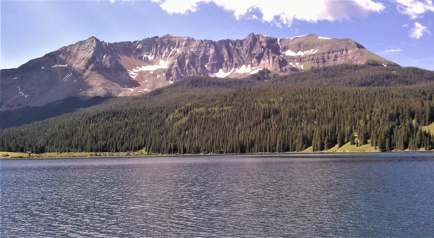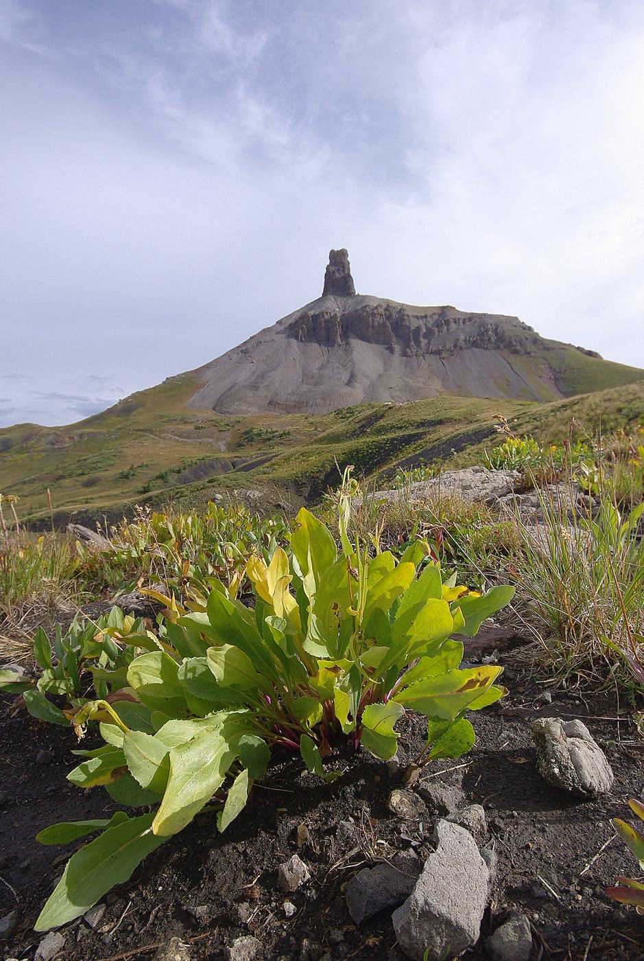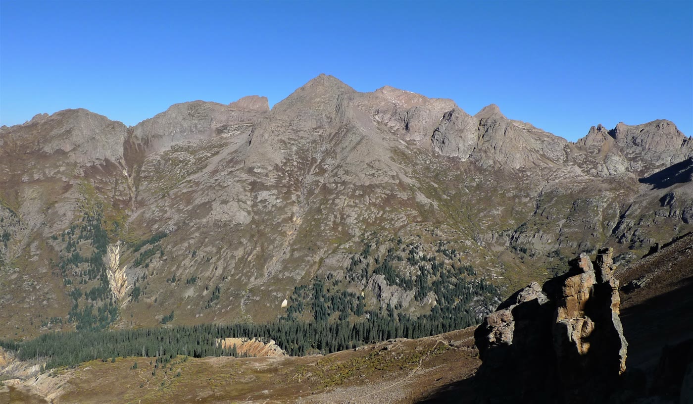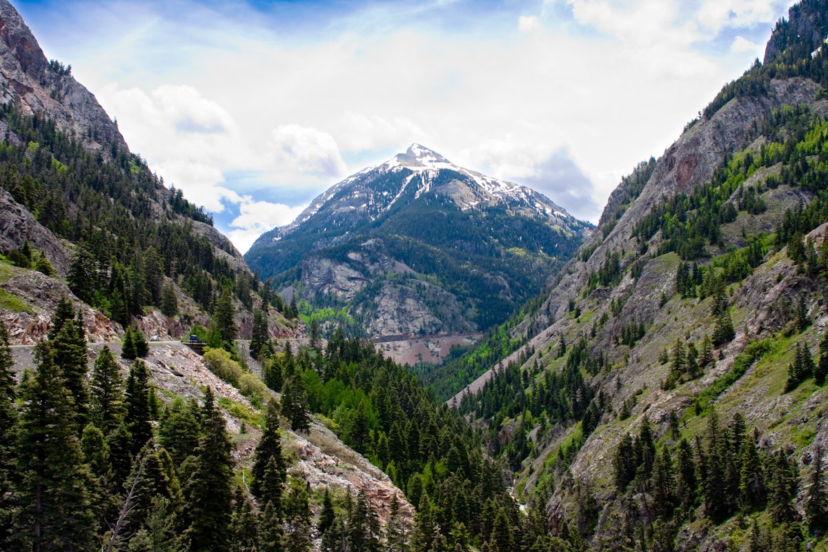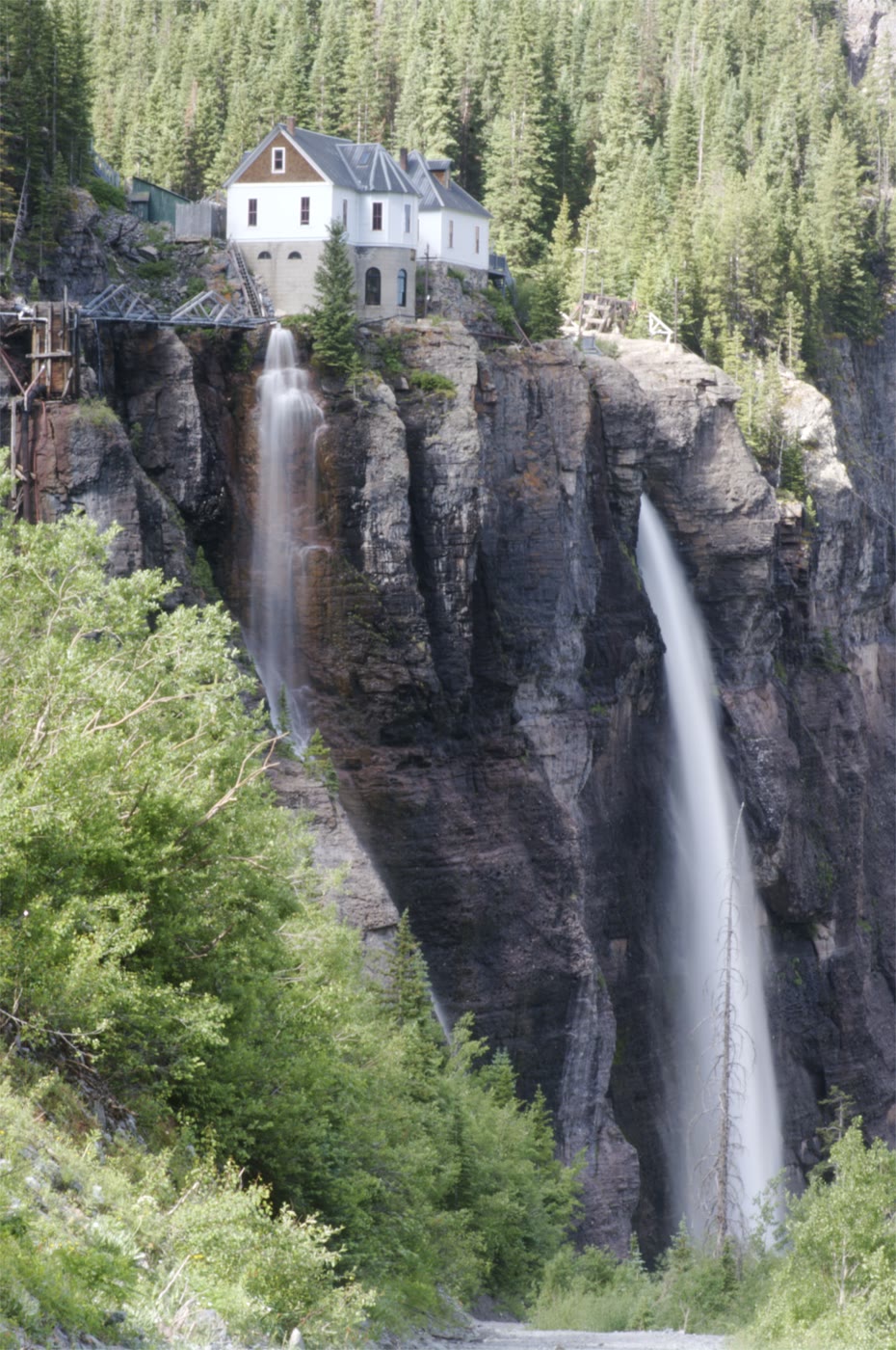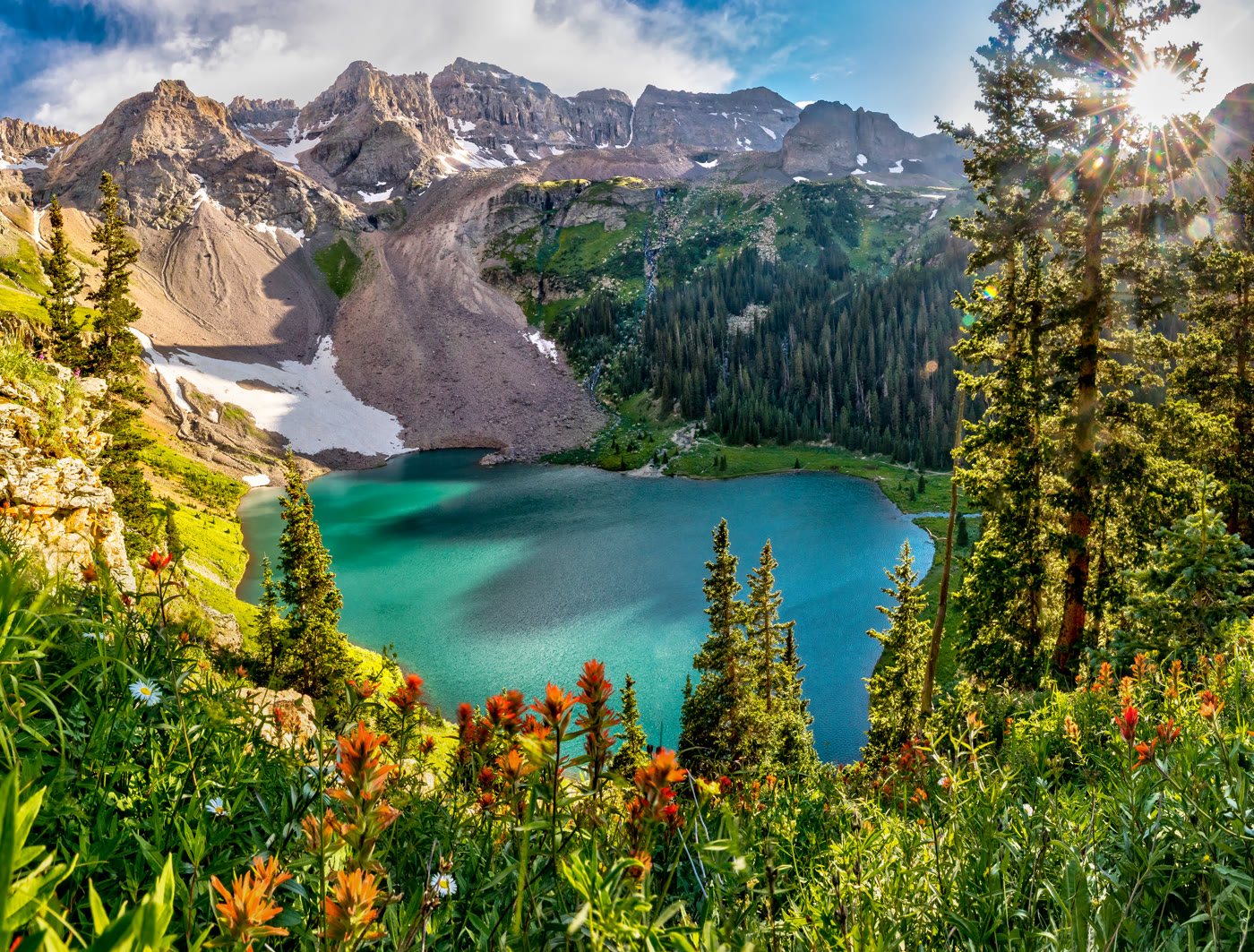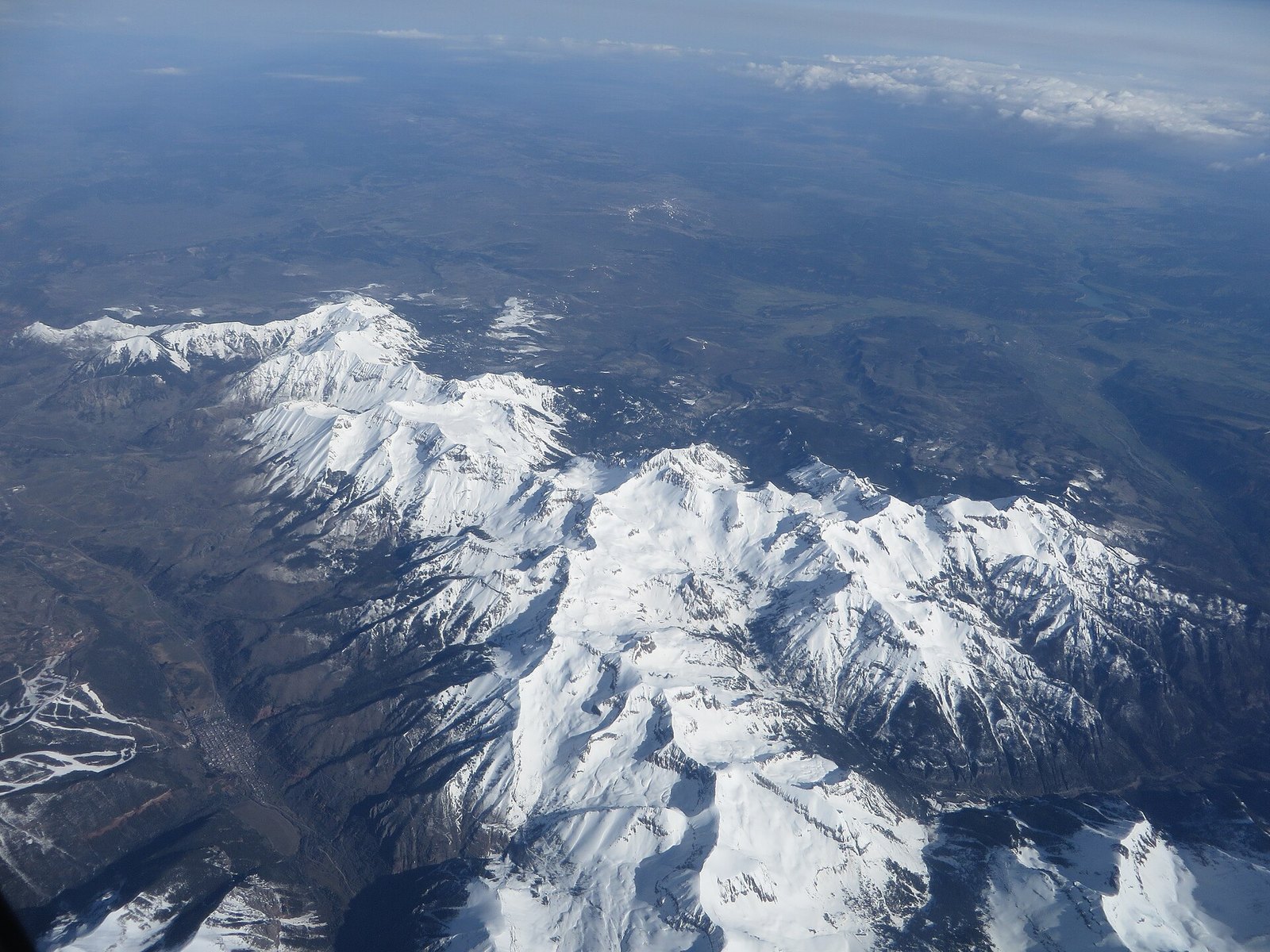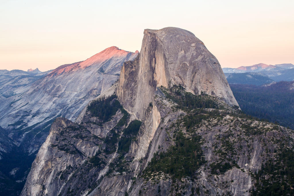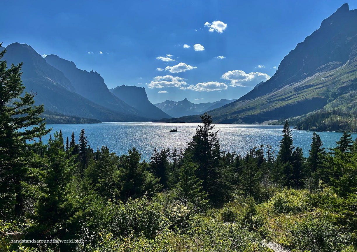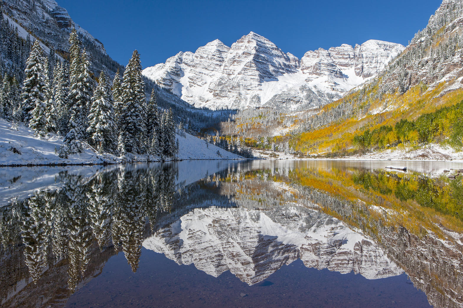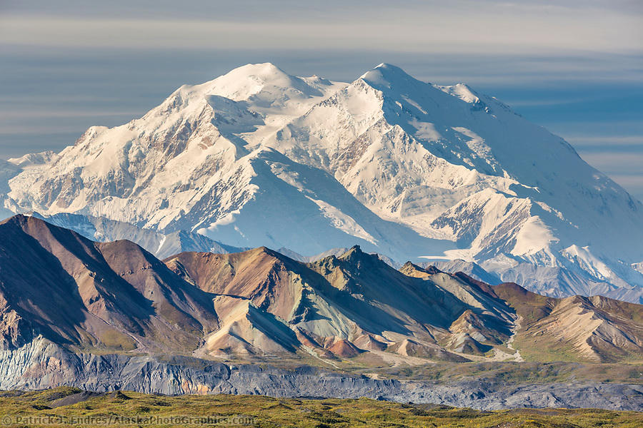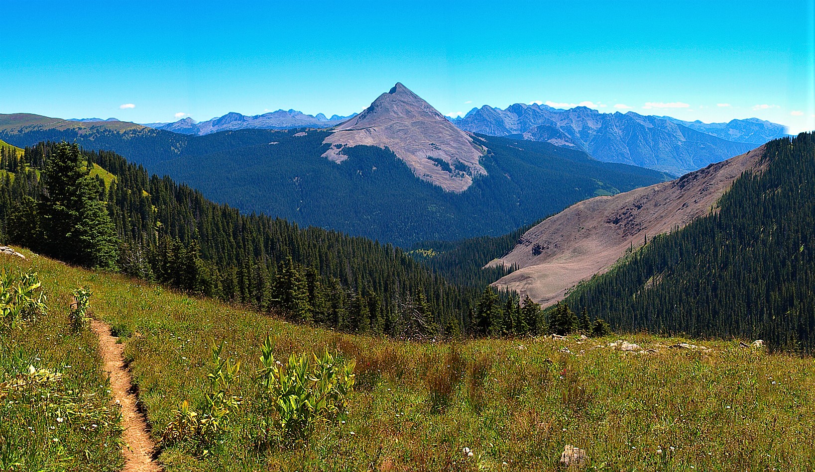
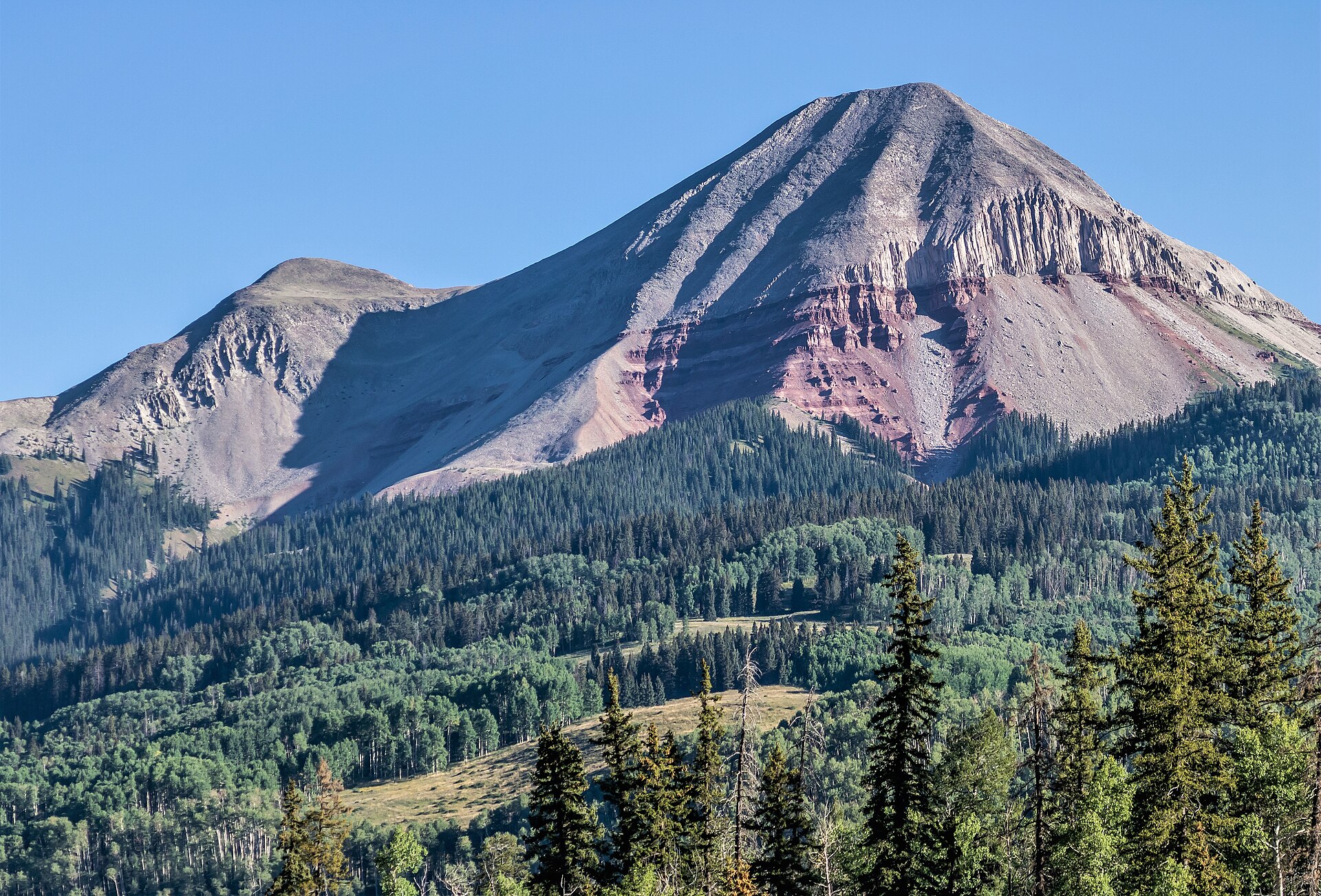
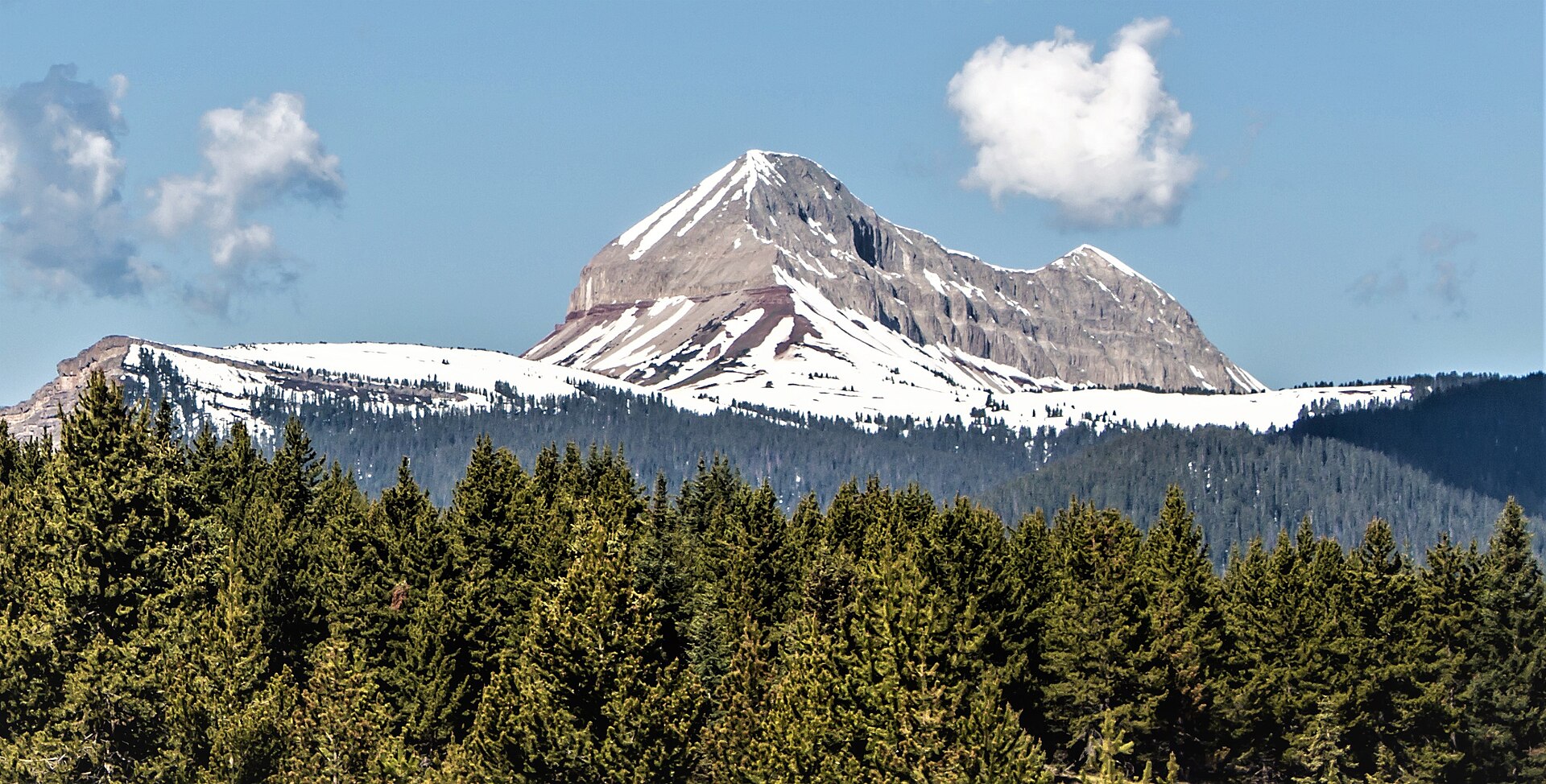
Fig. 1Engineer Mountain from a Columbine high-country trail
Landform
Engineer Mountain over the Columbine Ranger District — a red-banded San Juan horn, aspen, and a Coal Bank skyline the Peak plate does not keep.
Field note
From the Colorado Trail the peak is a clean triangle. Silverton and Durango are the towns. This plate is Columbine high country in San Juan National Forest — Engineer and the district named for the flower — not Uncompahgre Peak and not a Sequoia lake of the same name.
Columbine is San Juan National Forest high country — Engineer Mountain’s red band over the Columbine Ranger District. Silverton and Durango are the towns. This plate is the forest horn, not Uncompahgre Peak and not a California lake of the same name.