State chapter
Wild places in New Mexico
New Mexico has 19 plates in this atlas, on hills, canyon, desert, dunes, alpine, forest, and volcanic ground.
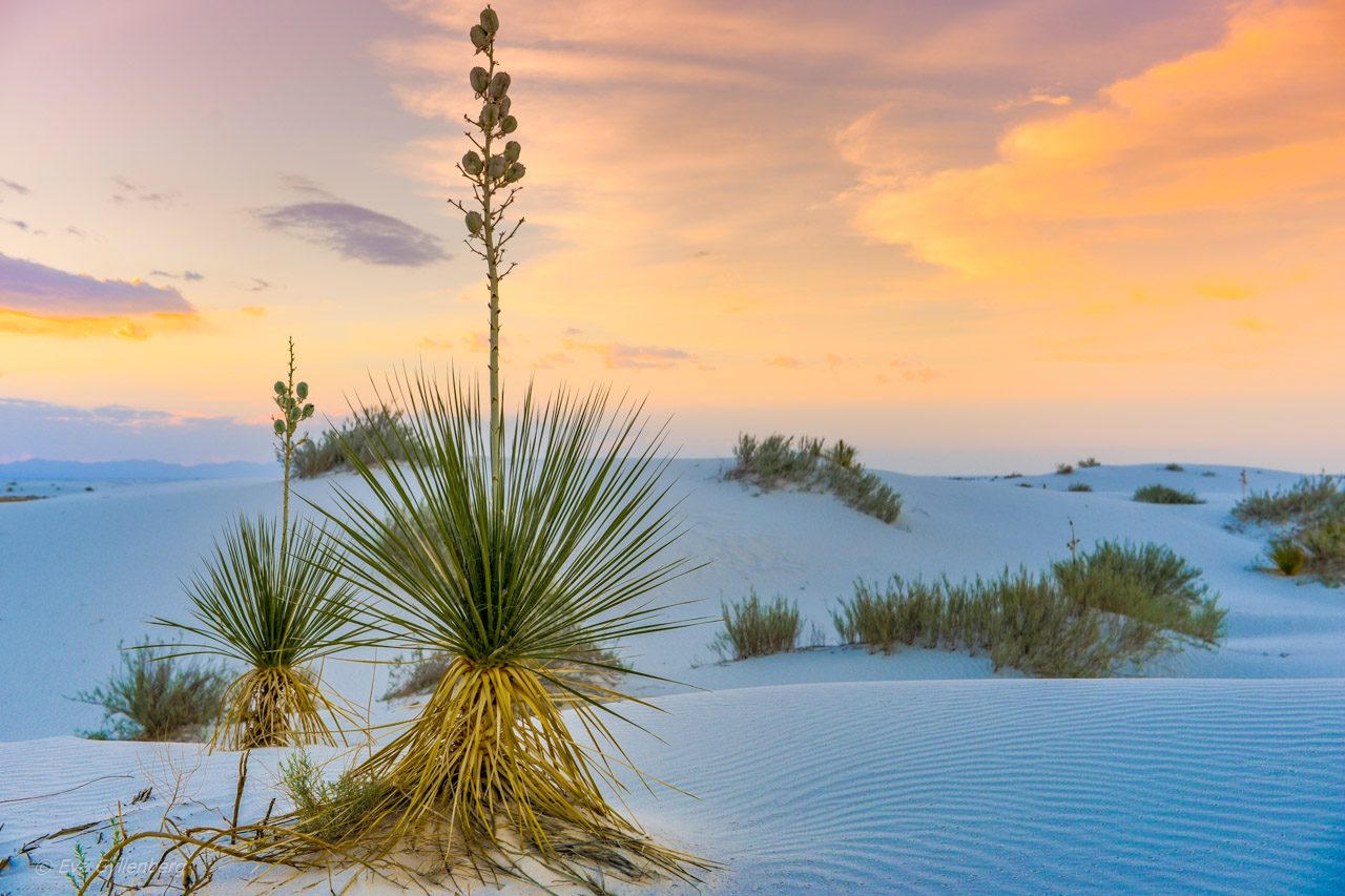
FrontispieceWhite Sands, New Mexico
- Plates
- 19
- Terrains
- Hills, Canyon, Desert, Dunes, Alpine, Forest, Volcanic
New Mexico
The plates
Plate VIWhite Sands
duneTularosa Basin, New Mexico
A sea of gypsum that behaves like snow and light.
32.8° N · 106.3° WOpen plate →
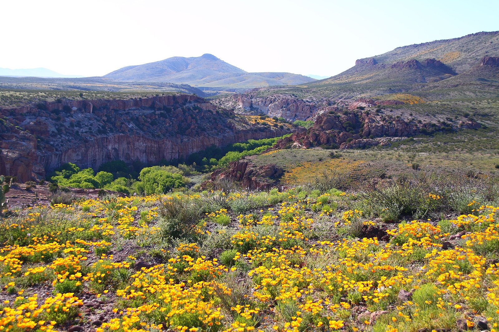 Plate LXXXII
Gila Wilderness
forestGila National Forest, Mogollon Mountains, New Mexico
The place the idea of wilderness was invented.
33.2° N · 108.3° WOpen plate →
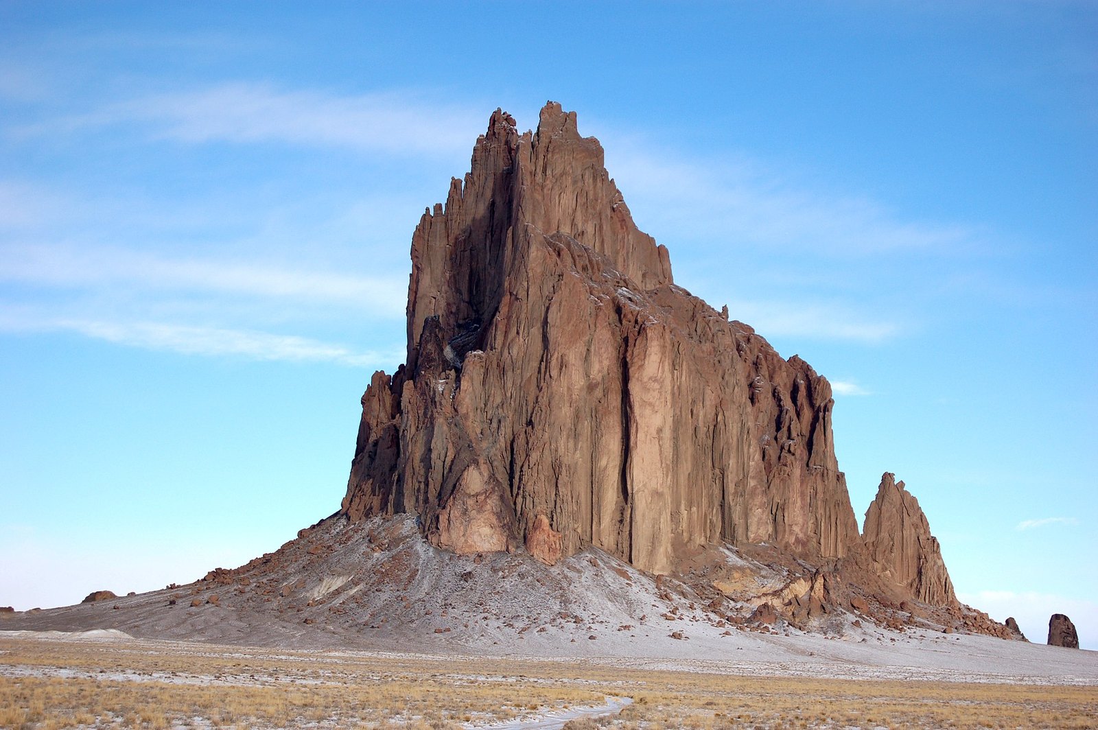 Plate CXI
Shiprock
volcanicNavajo Nation, San Juan County, New Mexico
A ship of stone, and a spine of dike.
36.7° N · 108.8° WOpen plate →
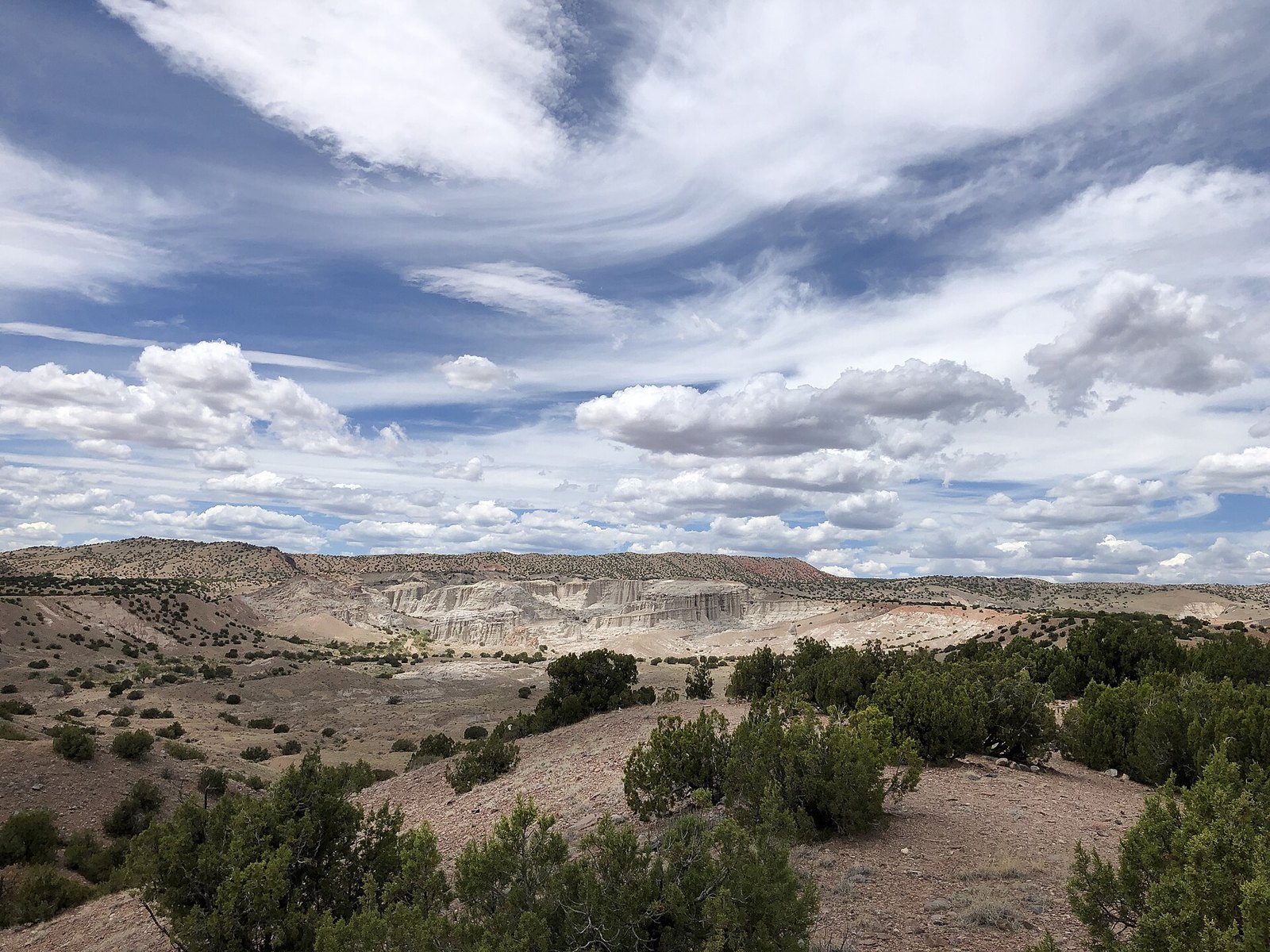 Plate CXII
Plaza Blanca
hillsoutside Abiquiu, New Mexico
A white garden the wind is still carving.
36.2° N · 106.3° WOpen plate →
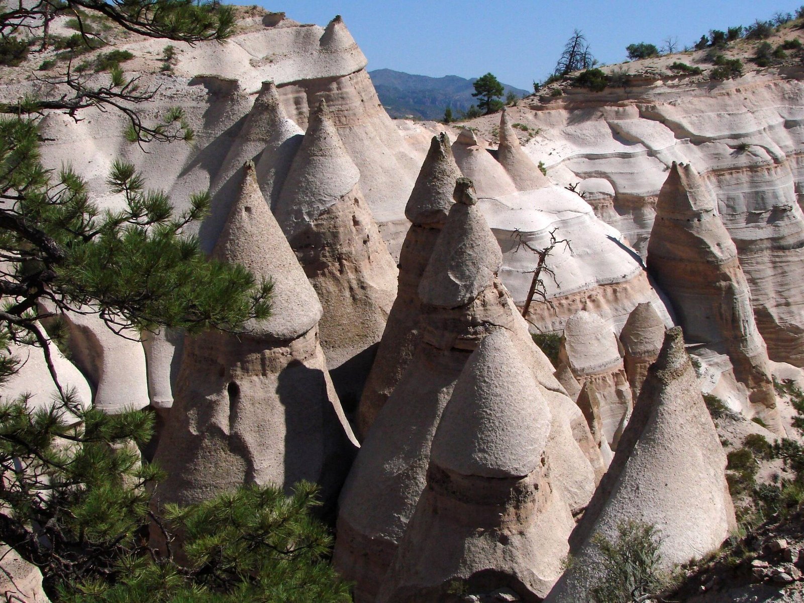 Plate CXIII
Kasha-Katuwe Tent Rocks
volcanicJemez volcanic field, near Cochiti, New Mexico
A canyon of tents the volcano pitched and left.
35.7° N · 106.4° WOpen plate →
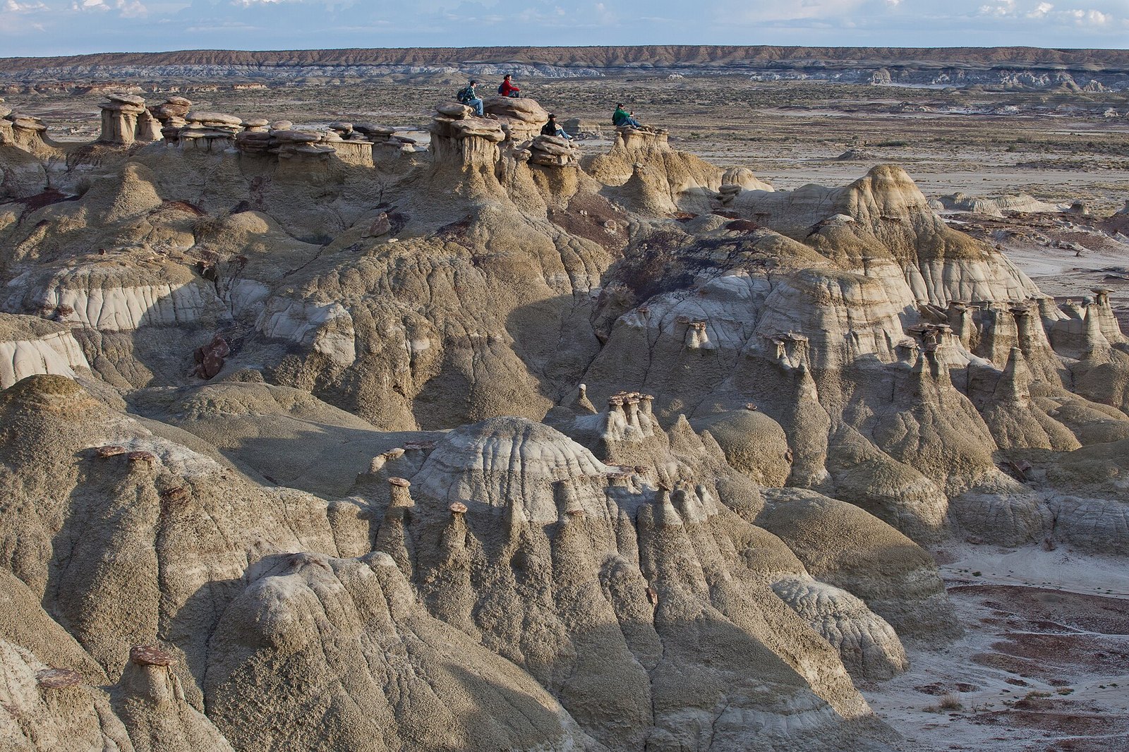 Plate CXIV
Ah-Shi-Sle-Pah
desertSan Juan Basin, New Mexico
A wilderness that learned to grow wings.
36.2° N · 107.9° WOpen plate →
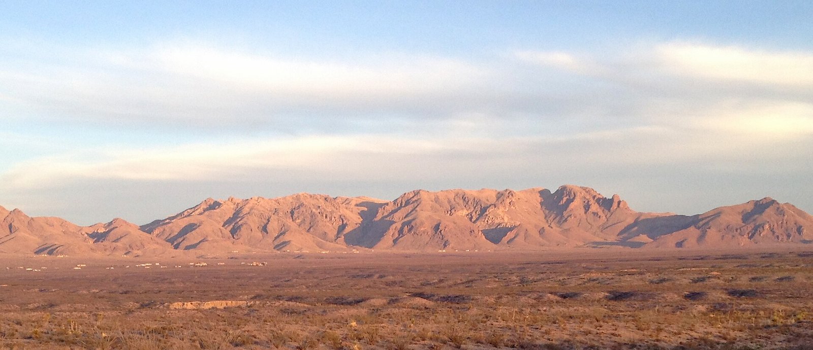 Plate CXV
Organ Mountains
hillseast of Las Cruces, New Mexico
A mountain range that learned to be a spine.
32.3° N · 106.6° WOpen plate →
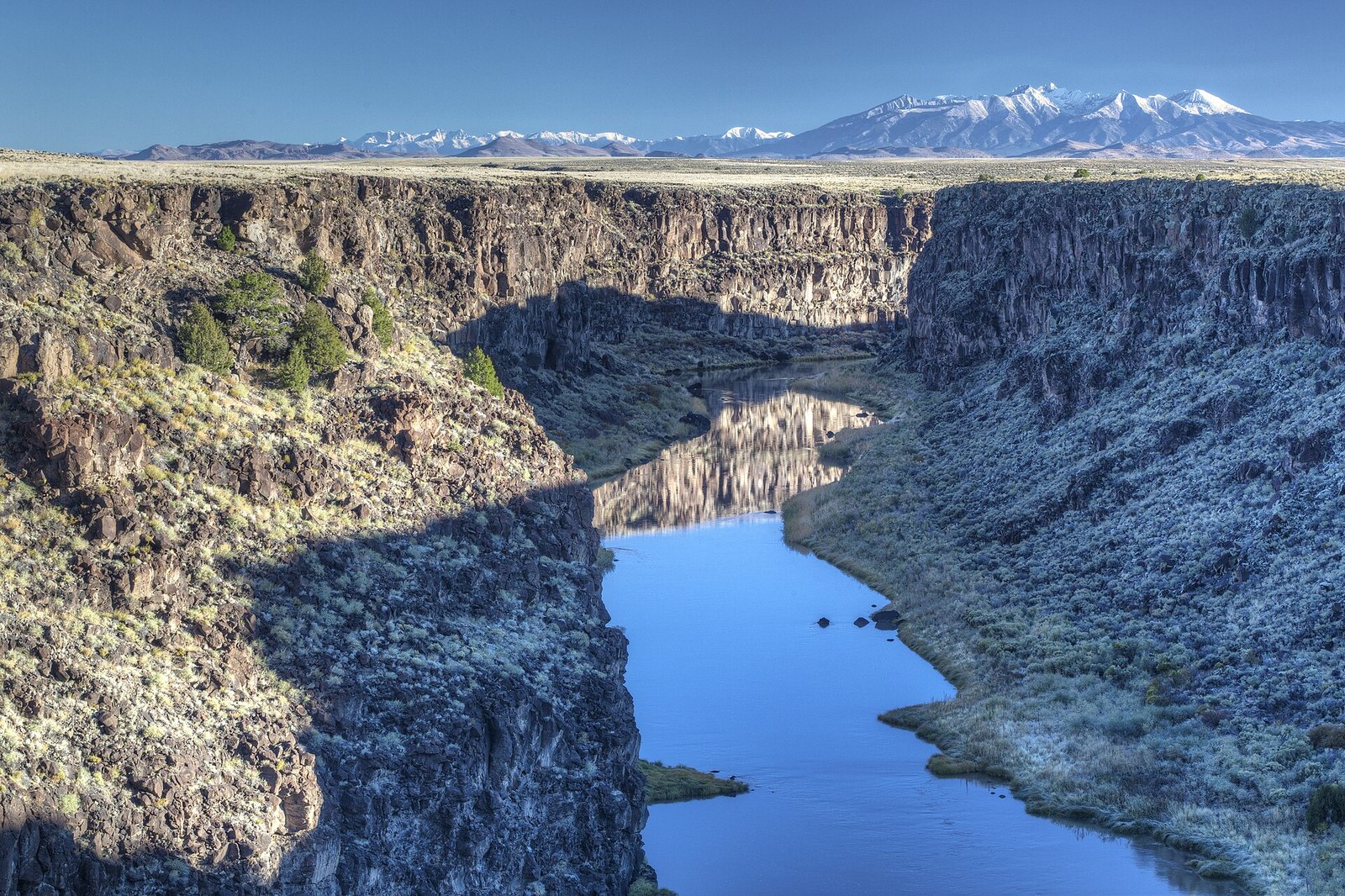 Plate CXVI
Rio Grande Gorge
canyonTaos Plateau, New Mexico
A crack the river opened in a lava floor.
36.5° N · 105.7° WOpen plate →
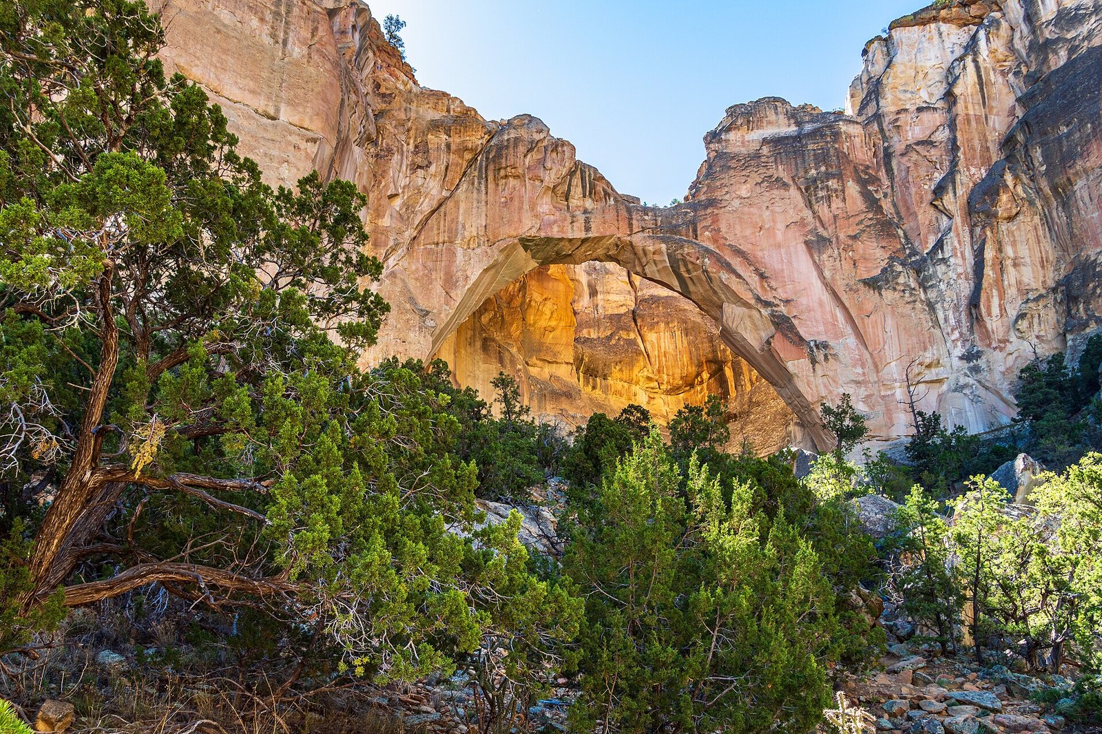 Plate CXVII
La Ventana
volcanicEl Malpais National Monument, New Mexico
A window the lava never reached.
35.0° N · 107.9° WOpen plate →
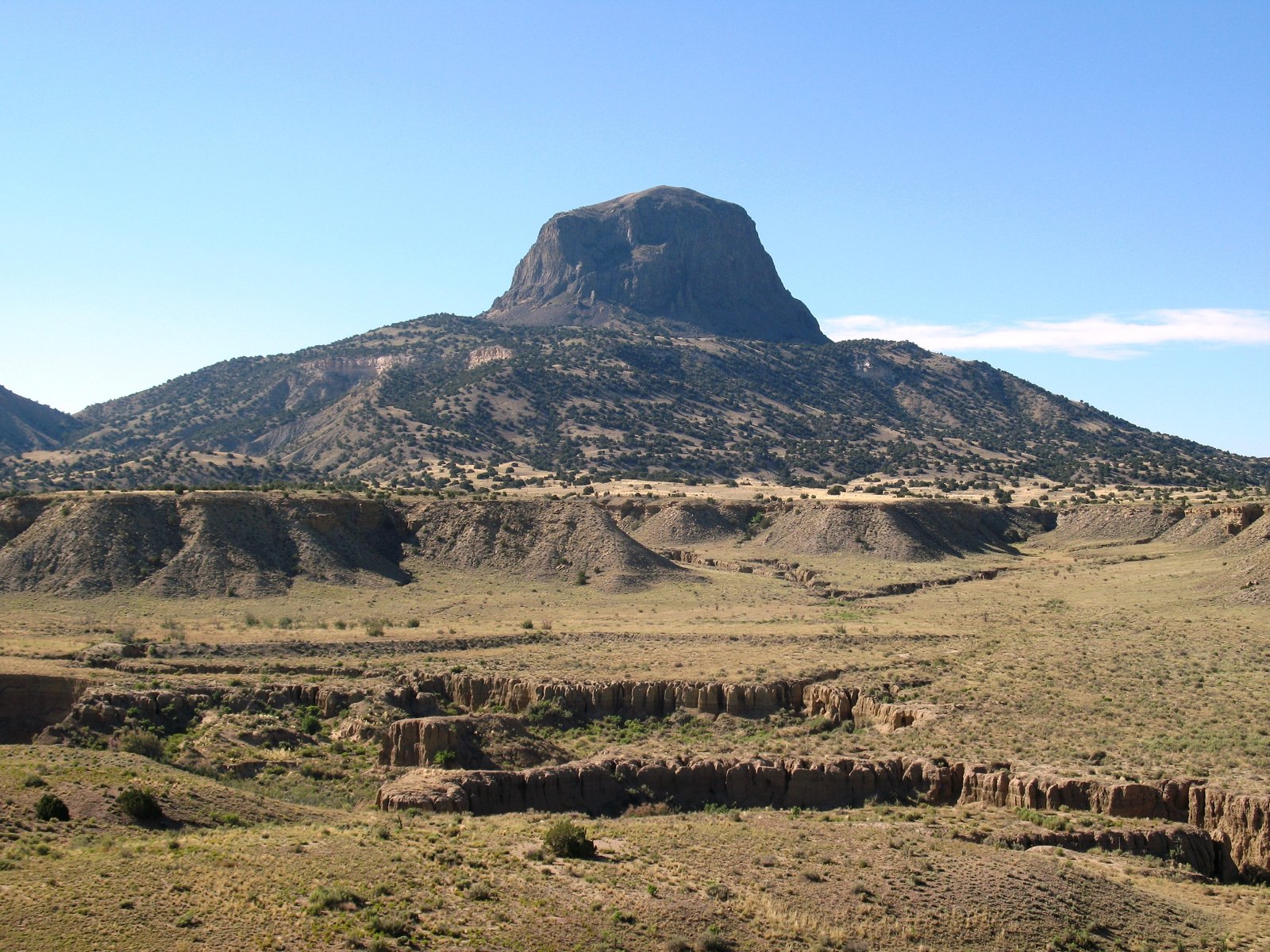 Plate CXVIII
Cabezon Peak
volcanicRio Puerco Valley, New Mexico
A mountain that is only the throat of one.
35.6° N · 107.1° WOpen plate →
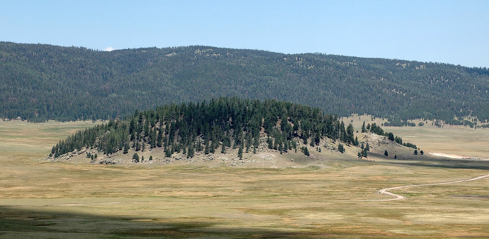 Plate CXIX
Valles Caldera
volcanicJemez Mountains, New Mexico
A mountain that became a meadow.
35.9° N · 106.5° WOpen plate →
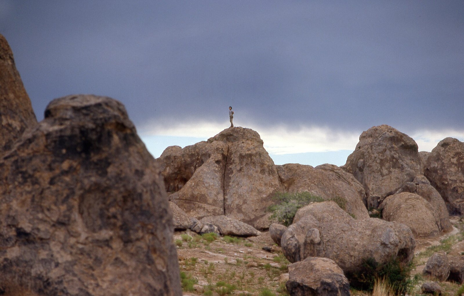 Plate CXX
City of Rocks
volcanicthe Bootheel, near Faywood, New Mexico
A town the ash built and the weather unbuilt.
32.6° N · 108.0° WOpen plate →
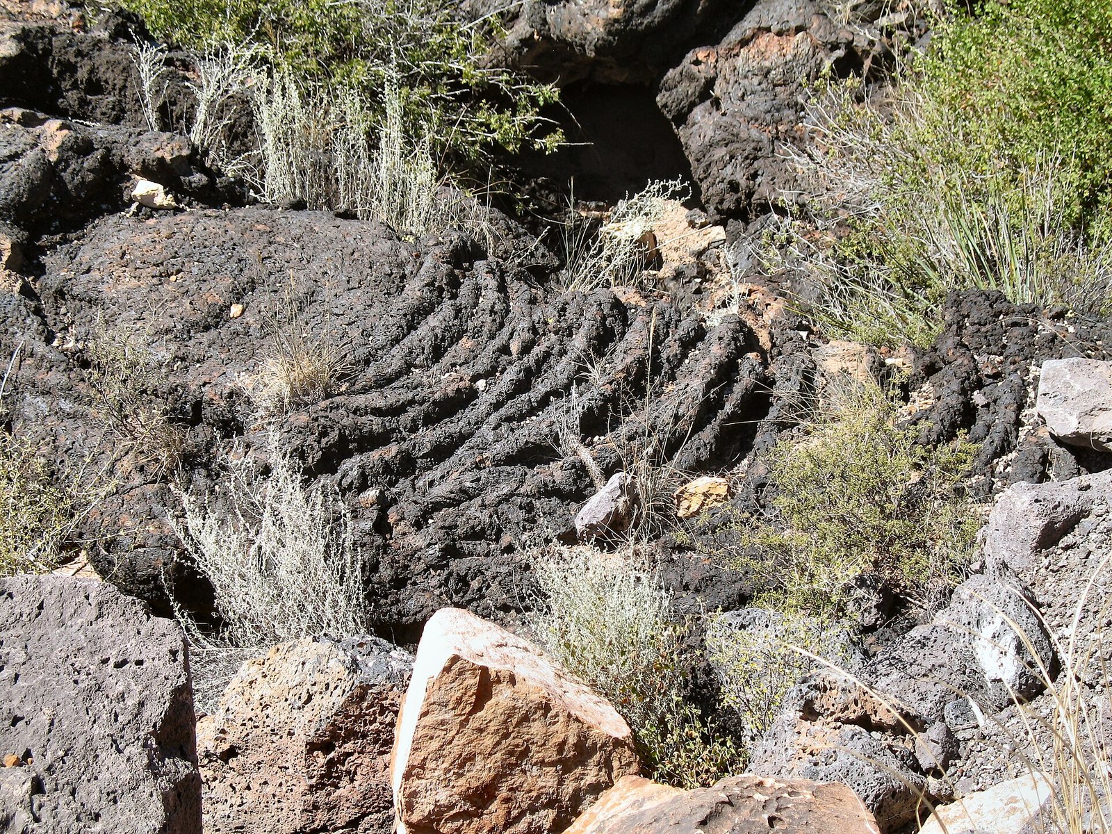 Plate CXXI
Valley of Fires
volcanicCarrizozo malpais, New Mexico
A fire that cooled in place and kept the shape.
33.7° N · 105.9° WOpen plate →
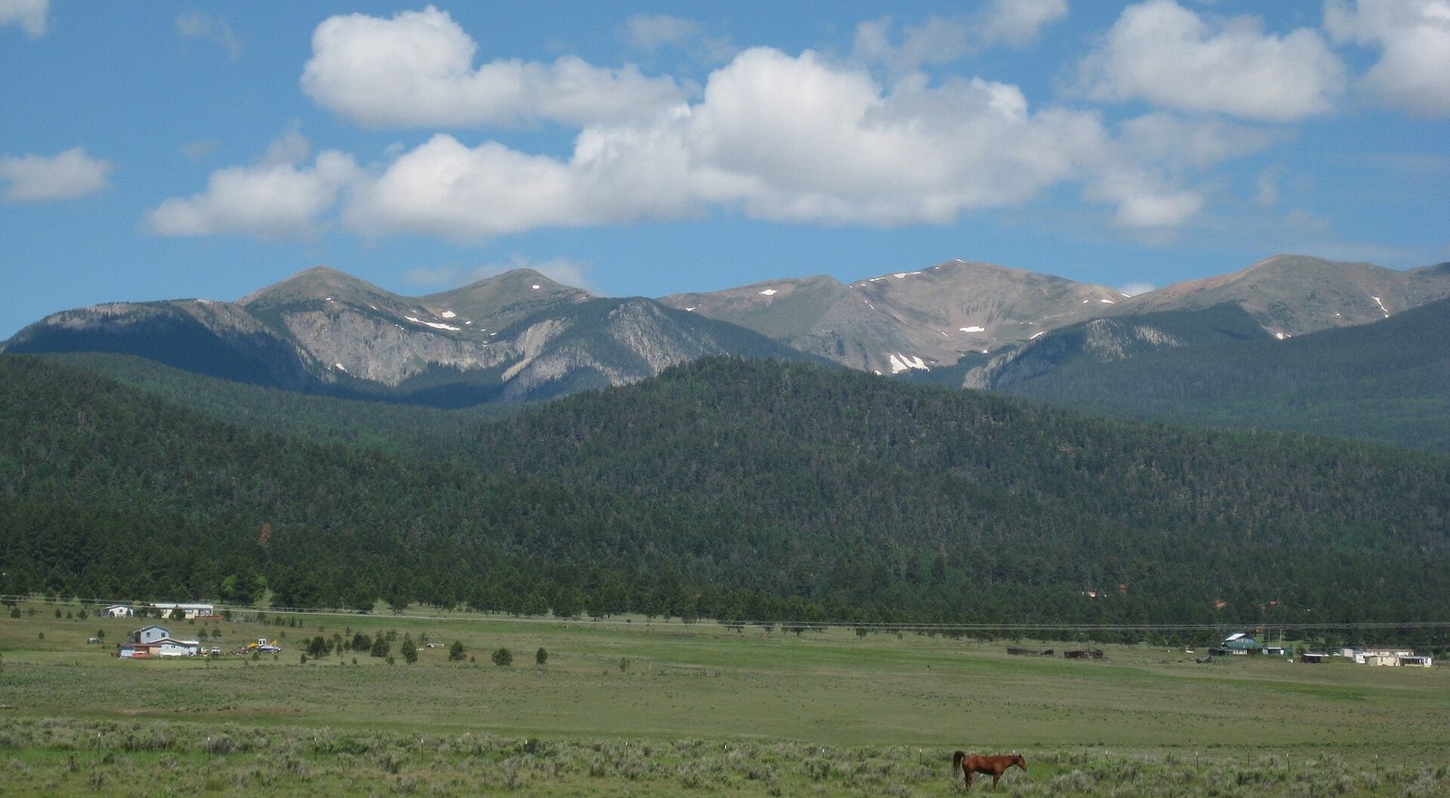 Plate CXXII
Wheeler Peak
alpineSangre de Cristo Range, near Taos, New Mexico
The highest thing in the state, and still quiet.
36.6° N · 105.4° WOpen plate →
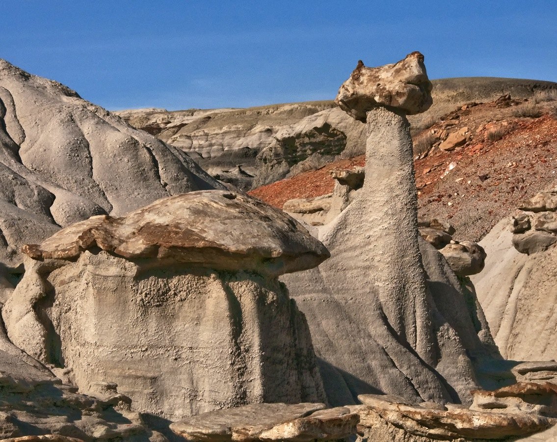 Plate CXXIII
Bisti / De-Na-Zin
desertSan Juan Basin, New Mexico
A wilderness that looks like another planet’s shore.
36.3° N · 108.2° WOpen plate →
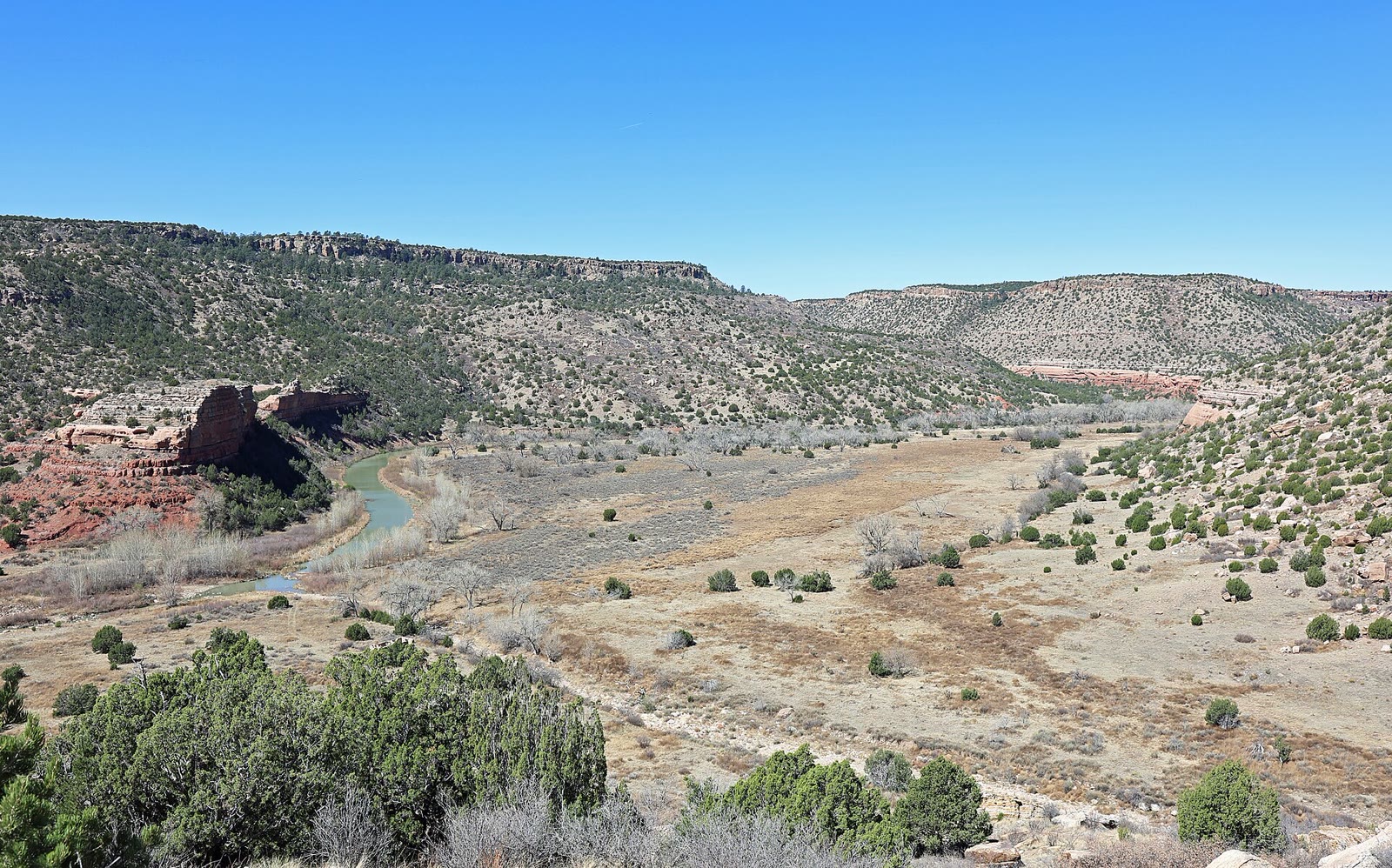 Plate CCLXVIII
Kiowa National Grassland
canyonMills Canyon, Canadian River, New Mexico
A river canyon the grassland hid.
36.0° N · 104.4° WOpen plate →
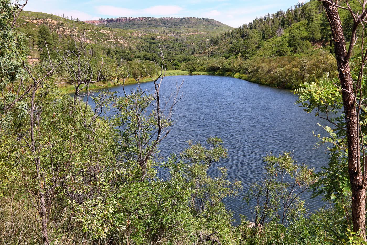 Plate CCLXXIII
Sugarite Canyon
forestRaton Mesa, Colfax County, New Mexico
A green canyon the mesa kept.
36.9° N · 104.4° WOpen plate →
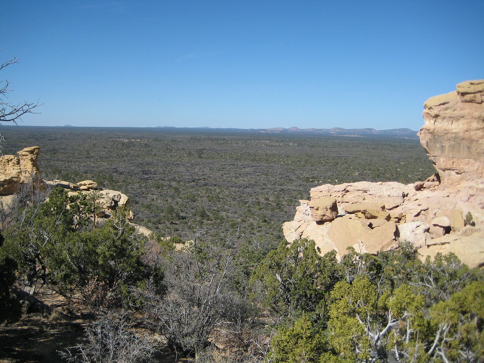 Plate CCLXXIX
El Malpais
volcanicMcCartys lava country, Cibola County, New Mexico
The bad country as lava, not as a window.
34.9° N · 108.1° WOpen plate →
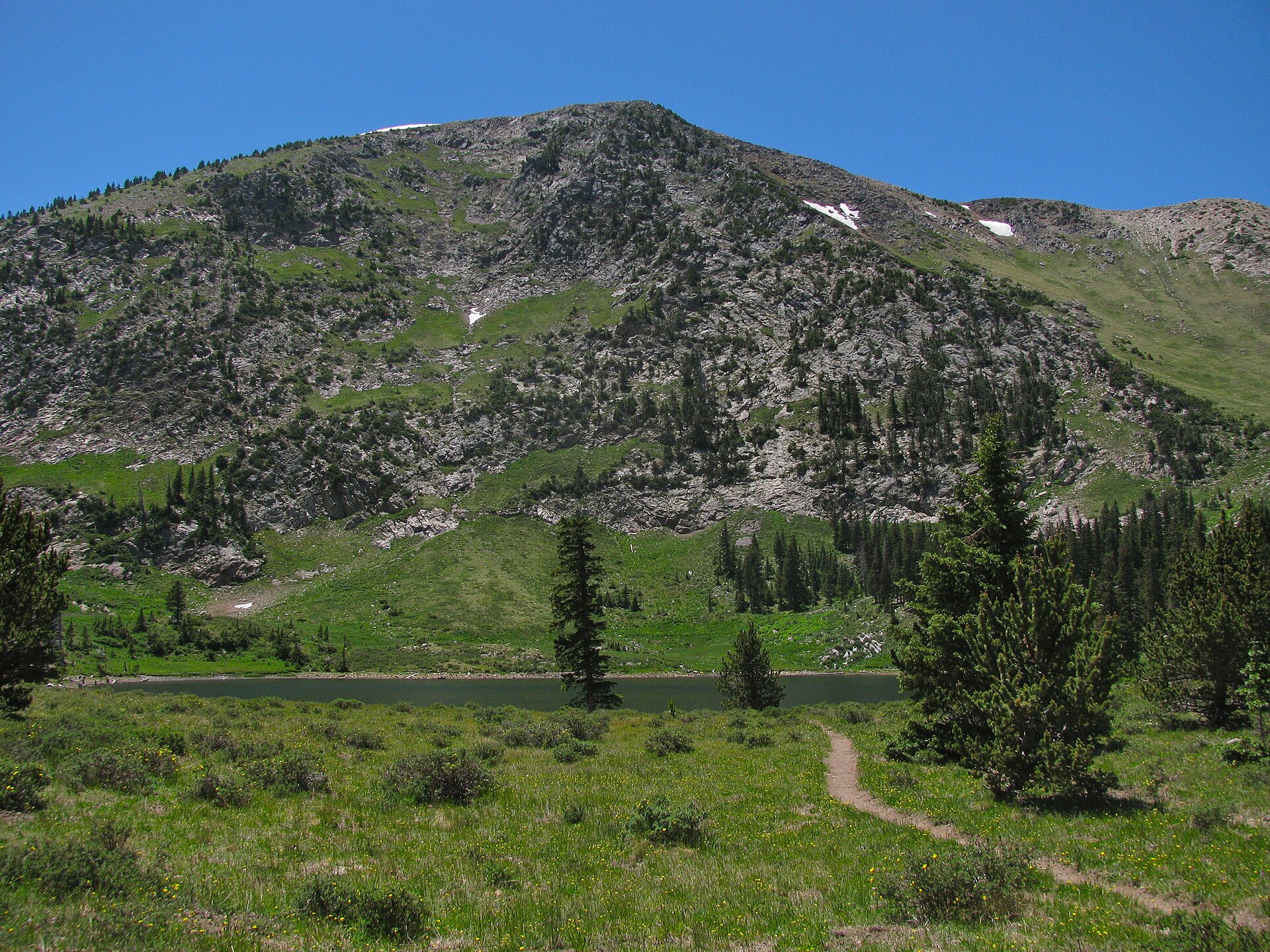 Plate CCLXXXV
Pecos Wilderness
alpineTruchas country, Santa Fe NF, New Mexico
A lake the Pecos high country still keeps.
35.9° N · 105.6° WOpen plate →