State chapter
Wild places in Oregon
Oregon has 22 plates in this atlas, on hills, canyon, desert, alpine, forest, coast, and volcanic ground.
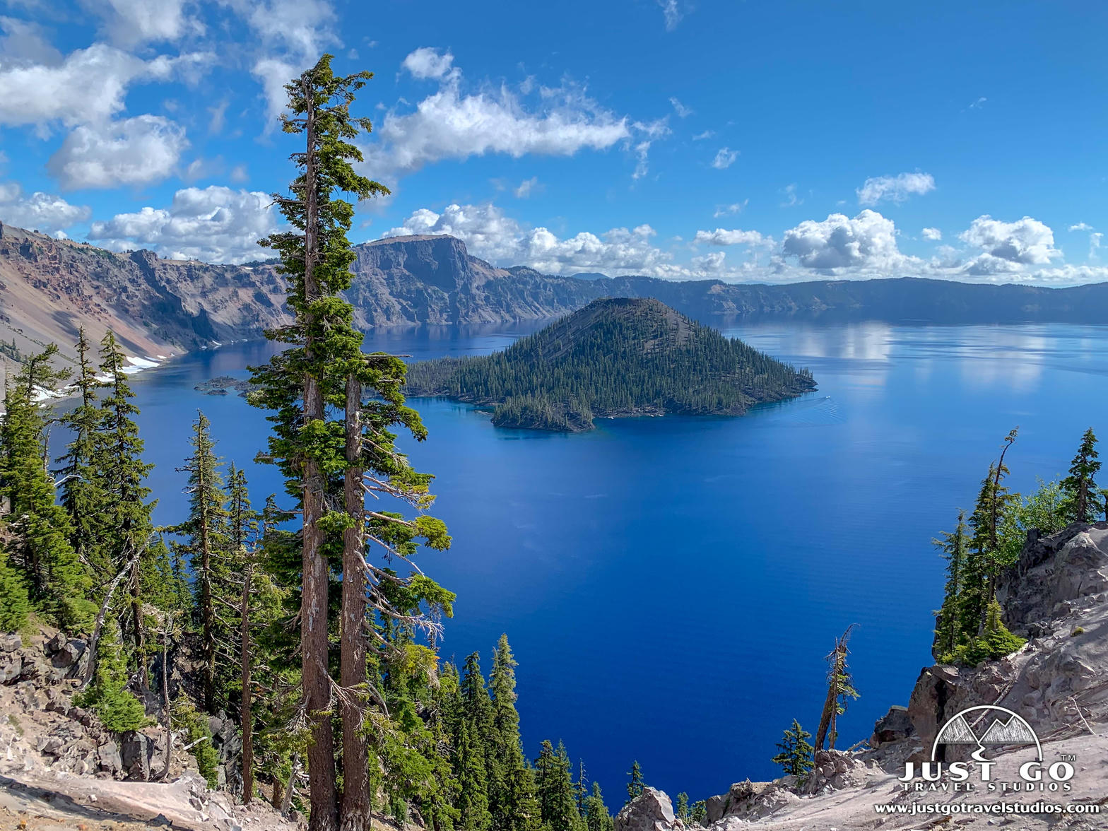
FrontispieceCrater Lake, Oregon
- Plates
- 22
- Terrains
- Hills, Canyon, Desert, Alpine, Forest, Coast, Volcanic
Oregon
The plates
Plate XIIICrater Lake
volcanicCascade Range, Oregon
A mountain that became a bowl of impossible blue.
42.9° N · 122.1° WOpen plate →
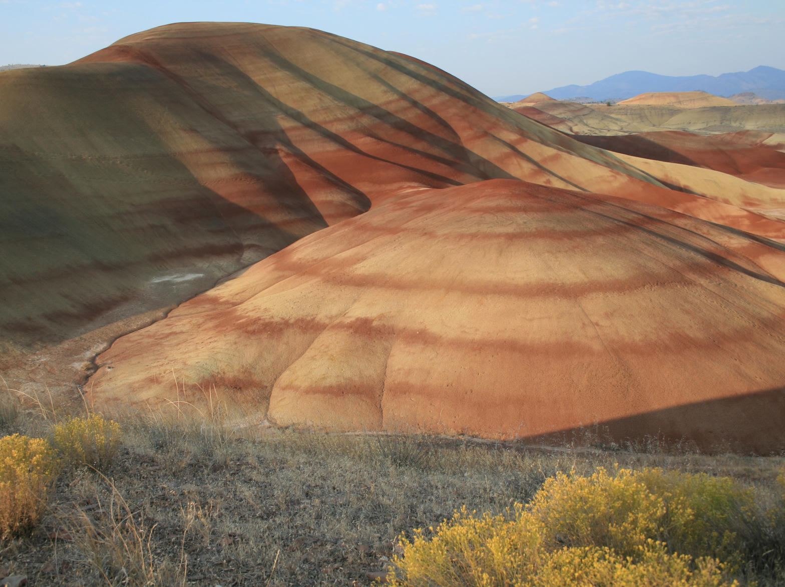 Plate XIV
Painted Hills
desertJohn Day Fossil Beds, Oregon
A hillside painted by climates that no longer exist.
44.7° N · 120.3° WOpen plate →
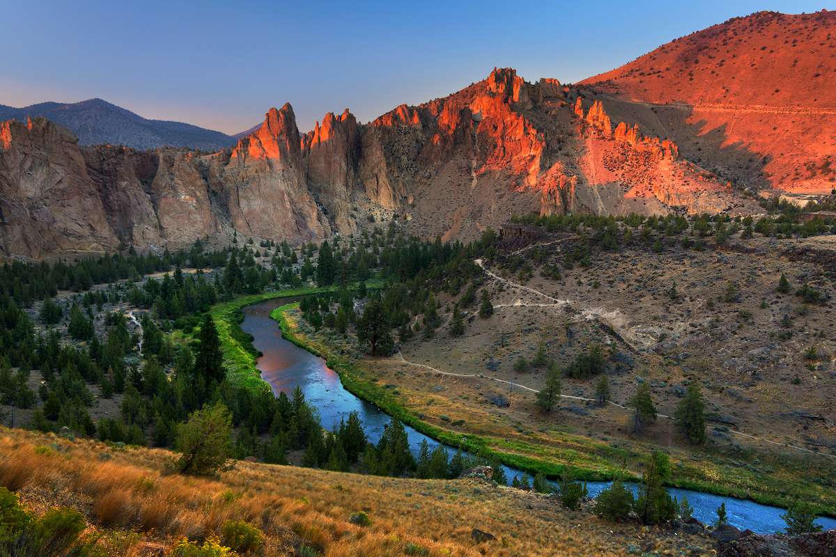 Plate LXIX
Smith Rock
volcanicCrooked River, near Terrebonne, Oregon
A red wall the river decided to keep circling.
44.4° N · 121.1° WOpen plate →
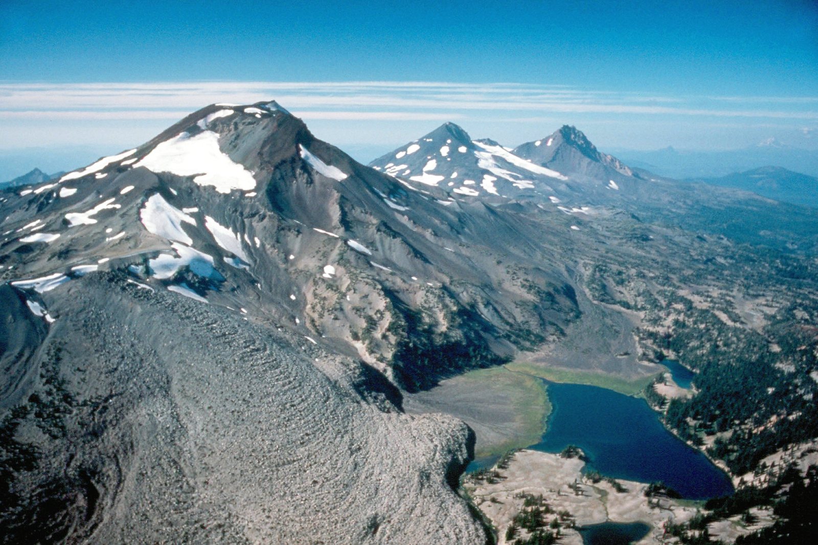 Plate XC
Three Sisters
volcanicWillamette & Deschutes National Forests, Oregon
Three volcanoes standing like siblings over a fir sea.
44.1° N · 121.8° WOpen plate →
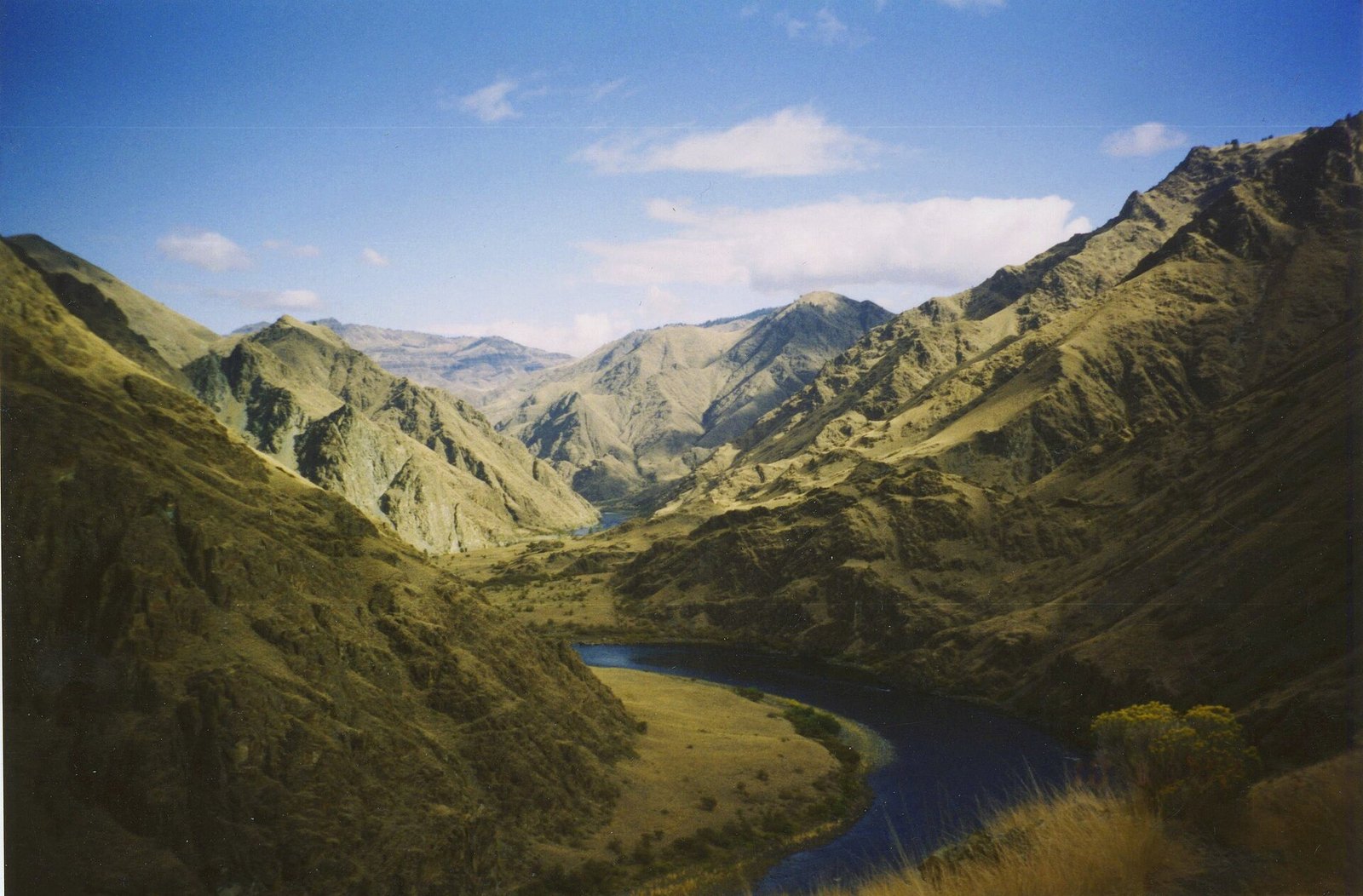 Plate CXXX
Hells Canyon
canyonSnake River, Idaho–Oregon line, Idaho / Oregon
A canyon deeper than the famous one, and quieter.
45.4° N · 116.7° WOpen plate →
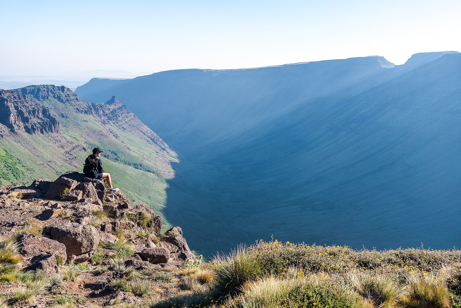 Plate CXXXI
Kiger Gorge
alpineSteens Mountain, Oregon
A gorge a glacier carved into a desert mountain.
42.7° N · 118.6° WOpen plate →
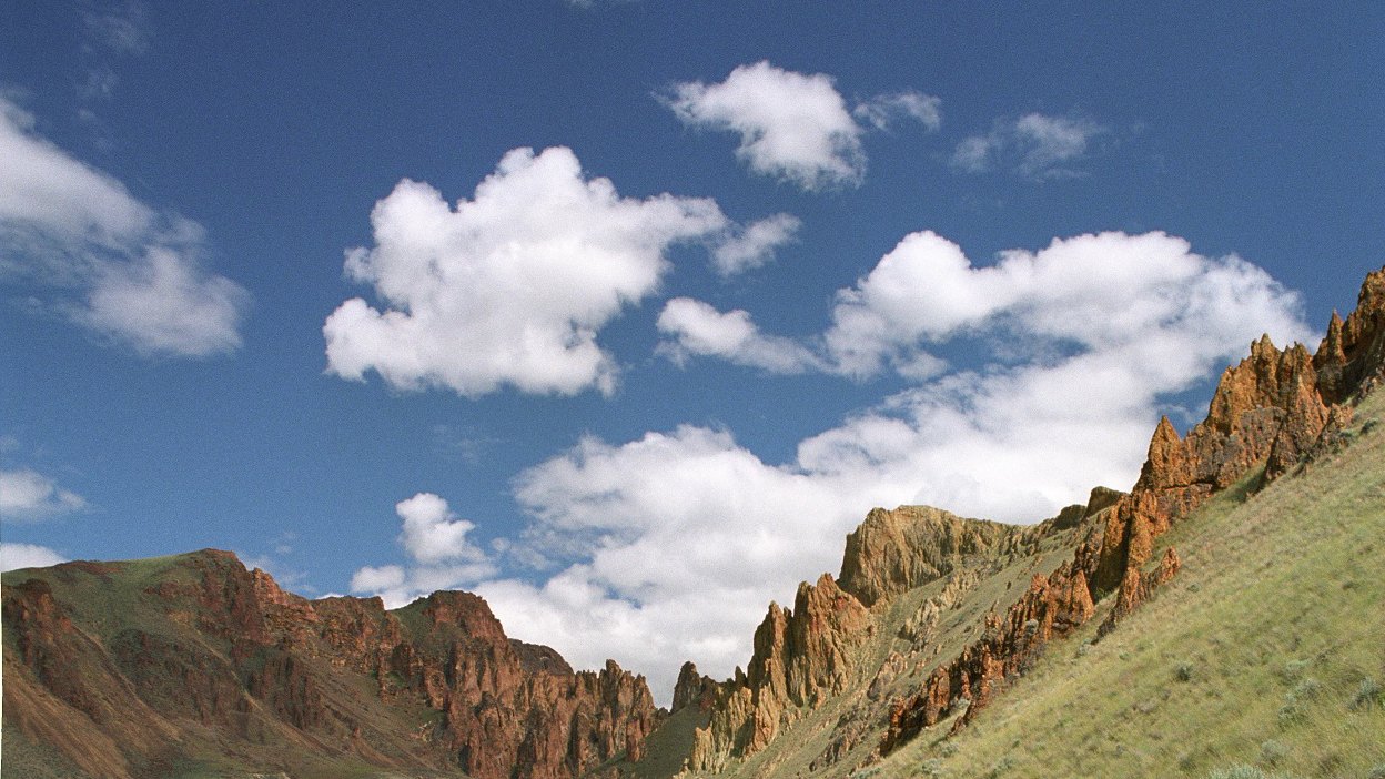 Plate CXXXII
Leslie Gulch
volcanicOwyhee Canyonlands, Oregon
A gulch that grew a skyline.
43.3° N · 117.3° WOpen plate →
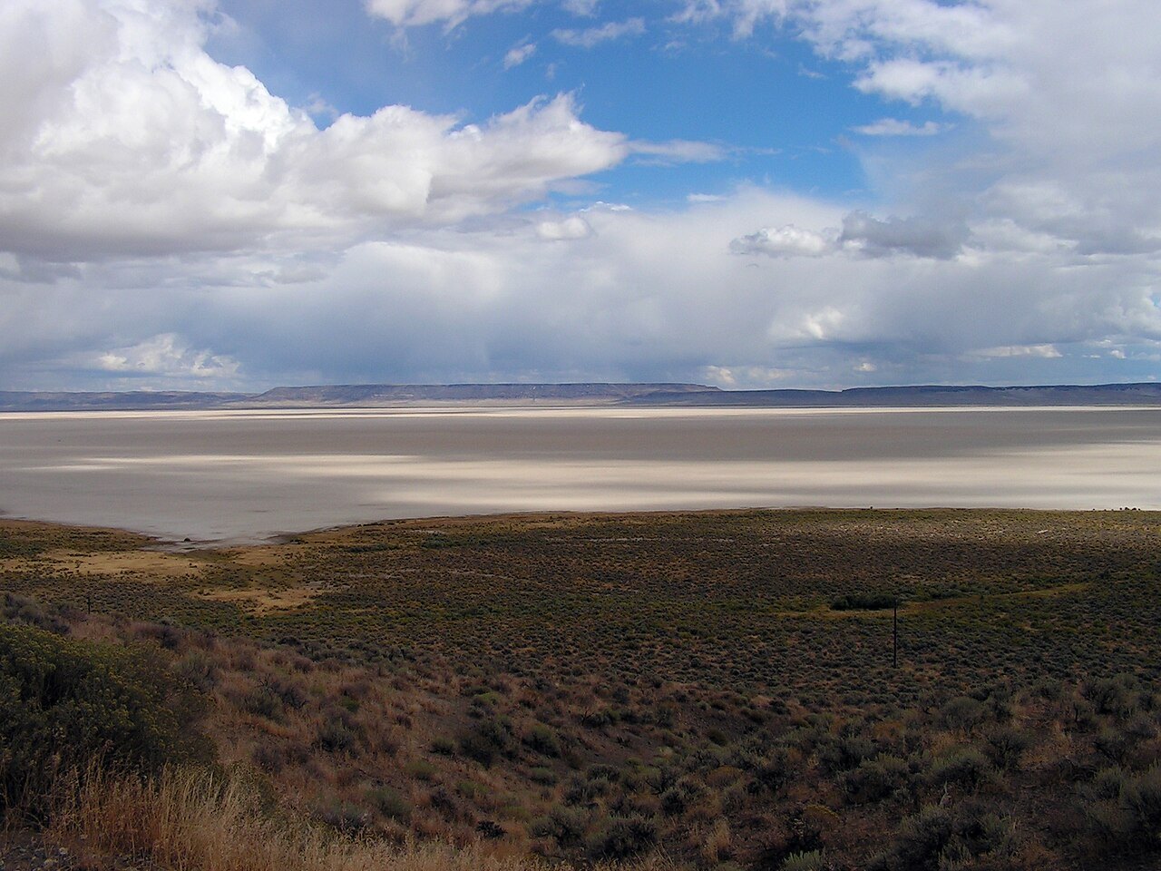 Plate CXLII
Alvord Desert
deserteast of Steens Mountain, Oregon
A white floor under Oregon’s secret escarpment.
42.5° N · 118.5° WOpen plate →
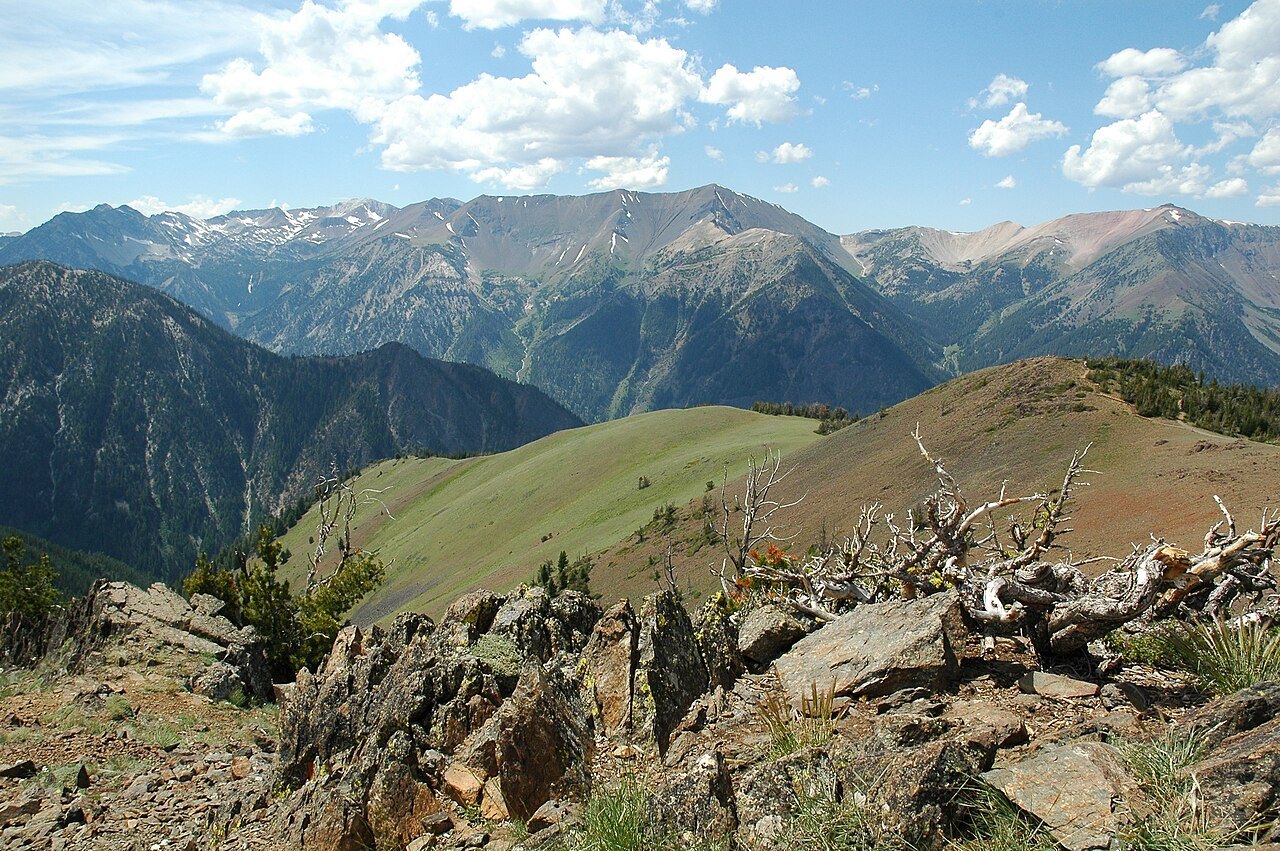 Plate CXLIII
Wallowa Mountains
alpineEagle Cap Wilderness, Wallowa County, Oregon
A granite range the Cascades do not own.
45.3° N · 117.2° WOpen plate →
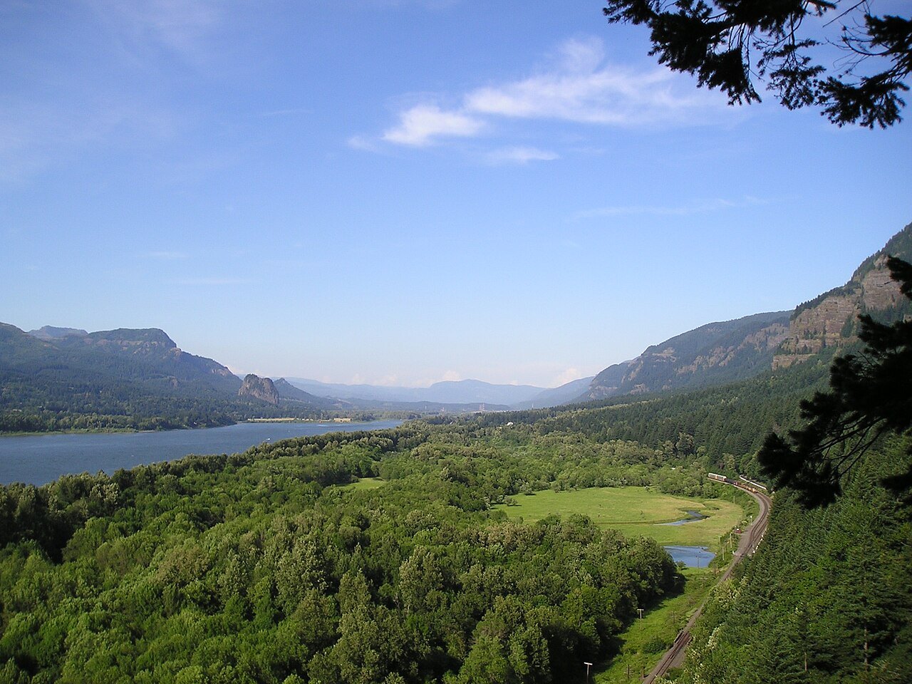 Plate CXLIV
Columbia Gorge
canyonColumbia River, Multnomah Falls to Rowena, Oregon / Washington
The river that opened the mountains to the sea.
45.6° N · 122.1° WOpen plate →
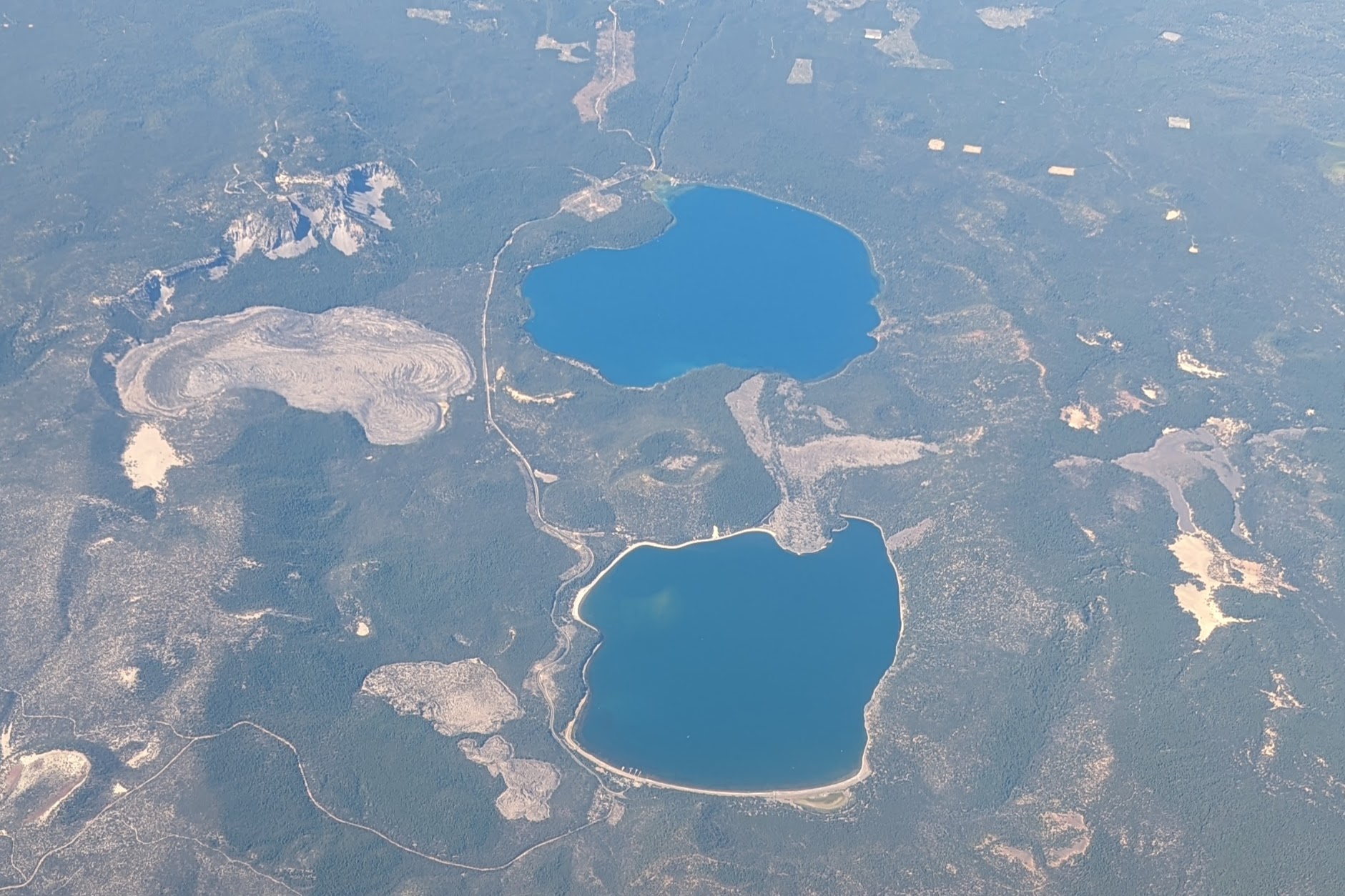 Plate CCXCVII
Newberry
volcanicNewberry National Volcanic Monument, Oregon
Two lakes in a caldera most people drive past.
43.7° N · 121.2° WOpen plate →
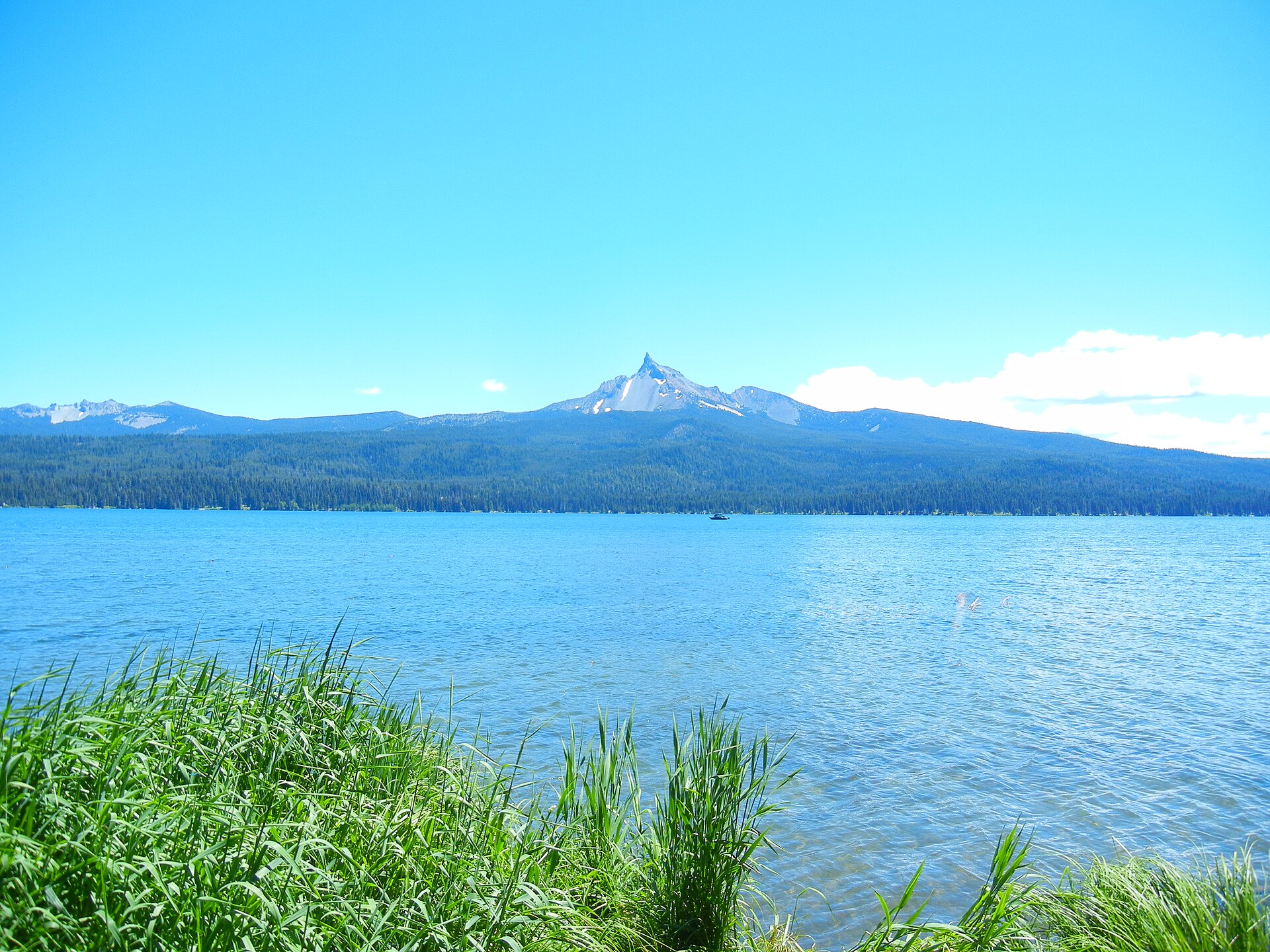 Plate CCXCVIII
Mount Thielsen
volcanicMount Thielsen Wilderness, Umpqua NF, Oregon
A stone needle the lake still looks at.
43.2° N · 122.1° WOpen plate →
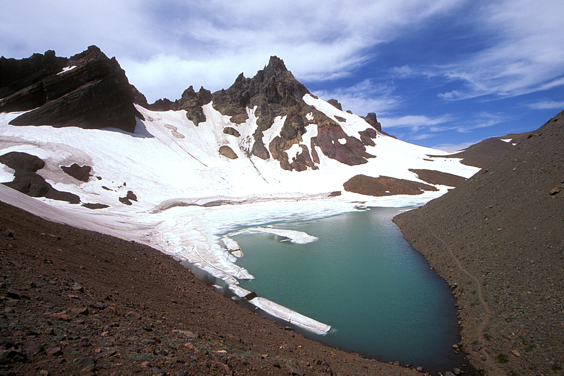 Plate CCXCIX
Broken Top
volcanicThree Sisters Wilderness, Deschutes NF, Oregon
A broken summit the wilderness still keeps.
44.1° N · 121.7° WOpen plate →
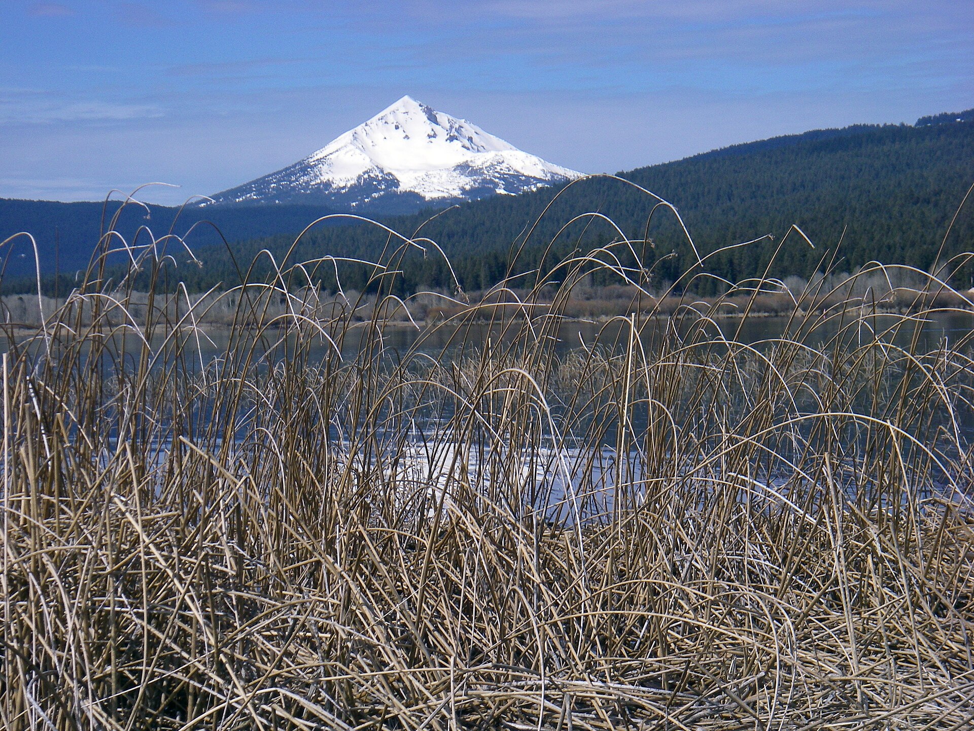 Plate CCC
Mount McLoughlin
volcanicSky Lakes Wilderness, Fremont-Winema NF, Oregon
The quiet cone between Shasta and Crater Lake.
42.4° N · 122.3° WOpen plate →
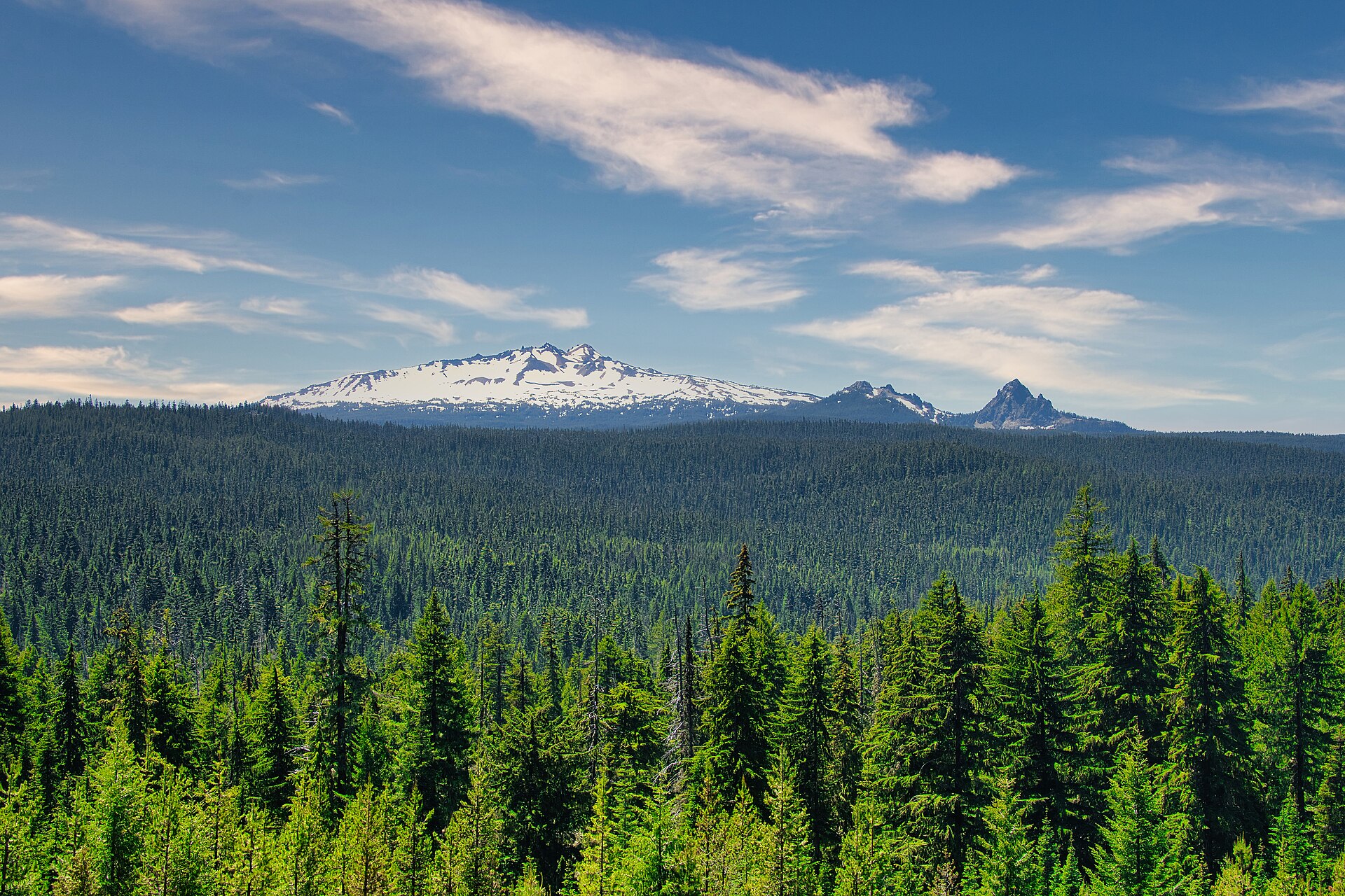 Plate CCCI
Diamond Peak
volcanicDiamond Peak Wilderness, Willamette & Deschutes NF, Oregon
A white roof the fir sea still hides.
43.5° N · 122.1° WOpen plate →
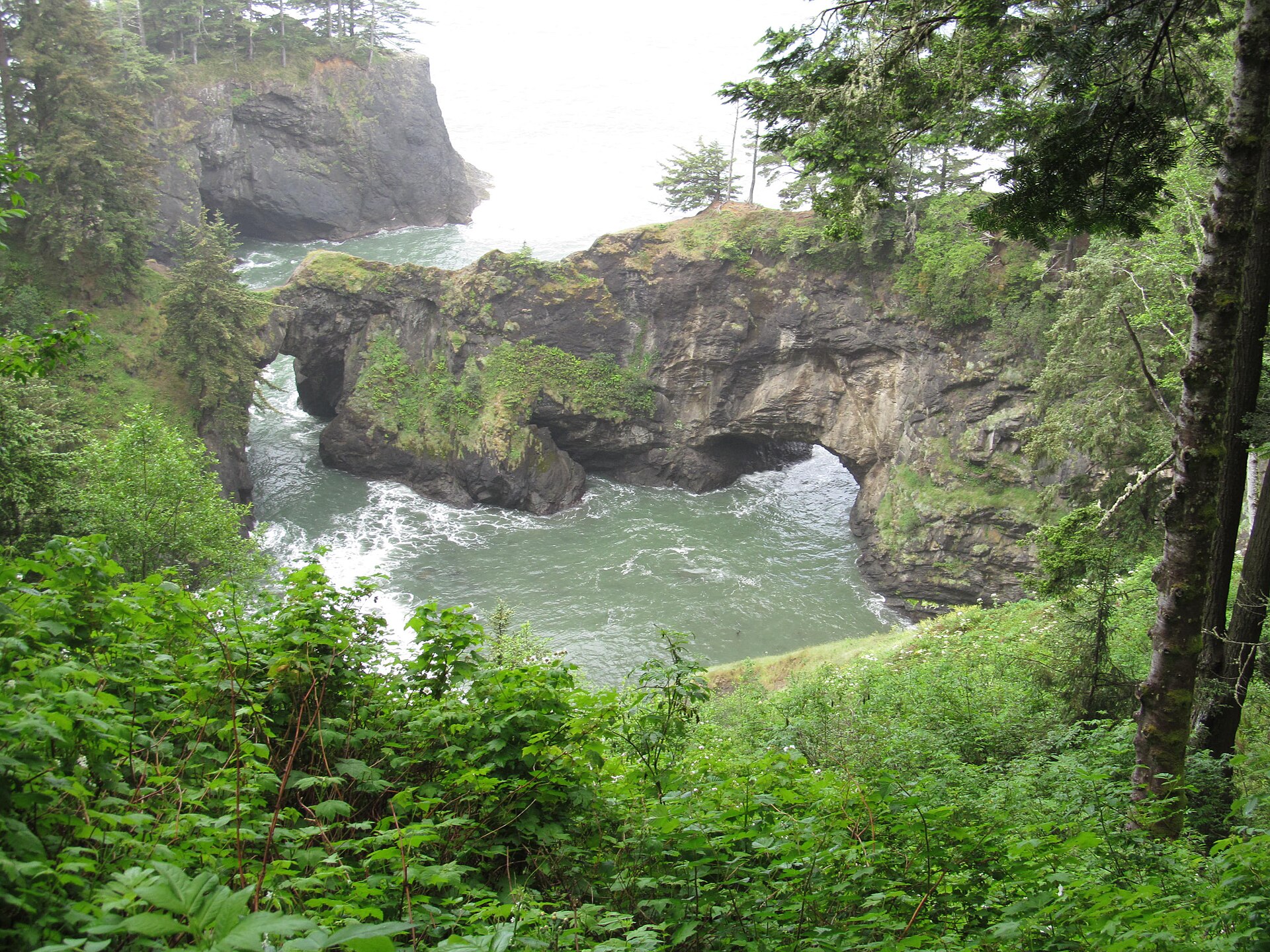 Plate CCCVII
Samuel H. Boardman
coastSamuel H. Boardman State Scenic Corridor, Oregon
Sea arches in a green Oregon cove.
42.2° N · 124.4° WOpen plate →
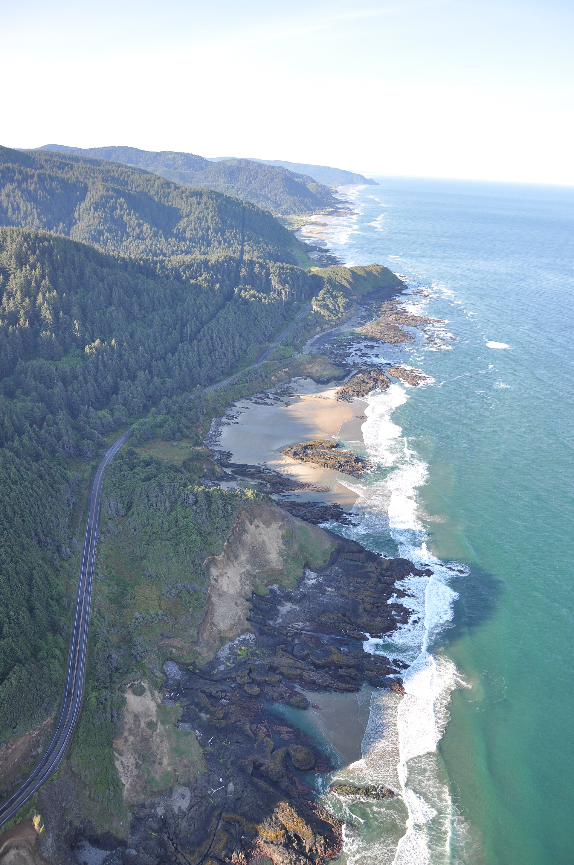 Plate CCCXVII
Cape Perpetua
coastCape Perpetua Scenic Area, Siuslaw NF, Oregon
Fir headlands running south into a white sea.
44.3° N · 124.1° WOpen plate →
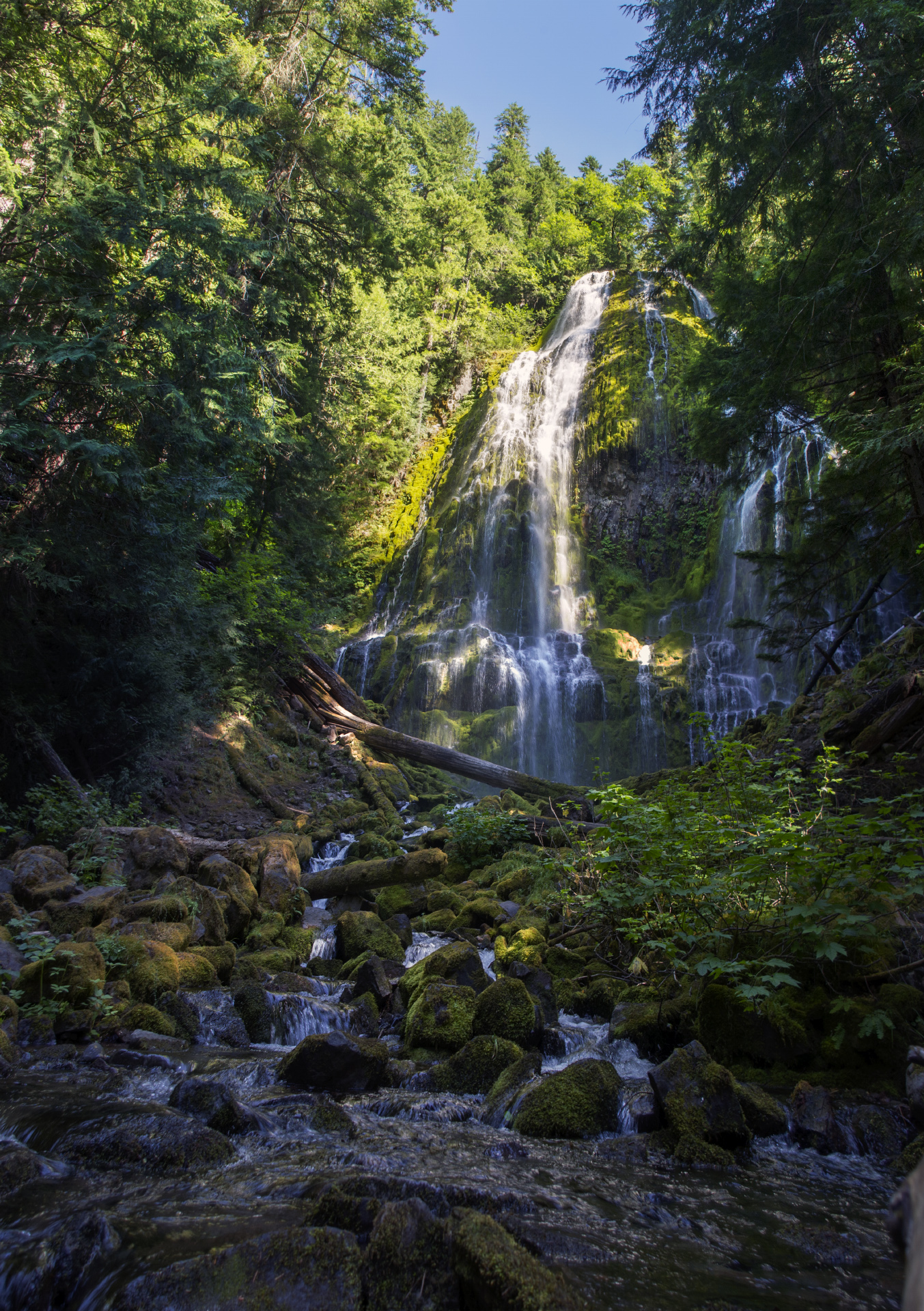 Plate CCCXXI
Proxy Falls
forestThree Sisters Wilderness, Willamette NF, Oregon
White threads on a green lava wall.
44.2° N · 121.9° WOpen plate →
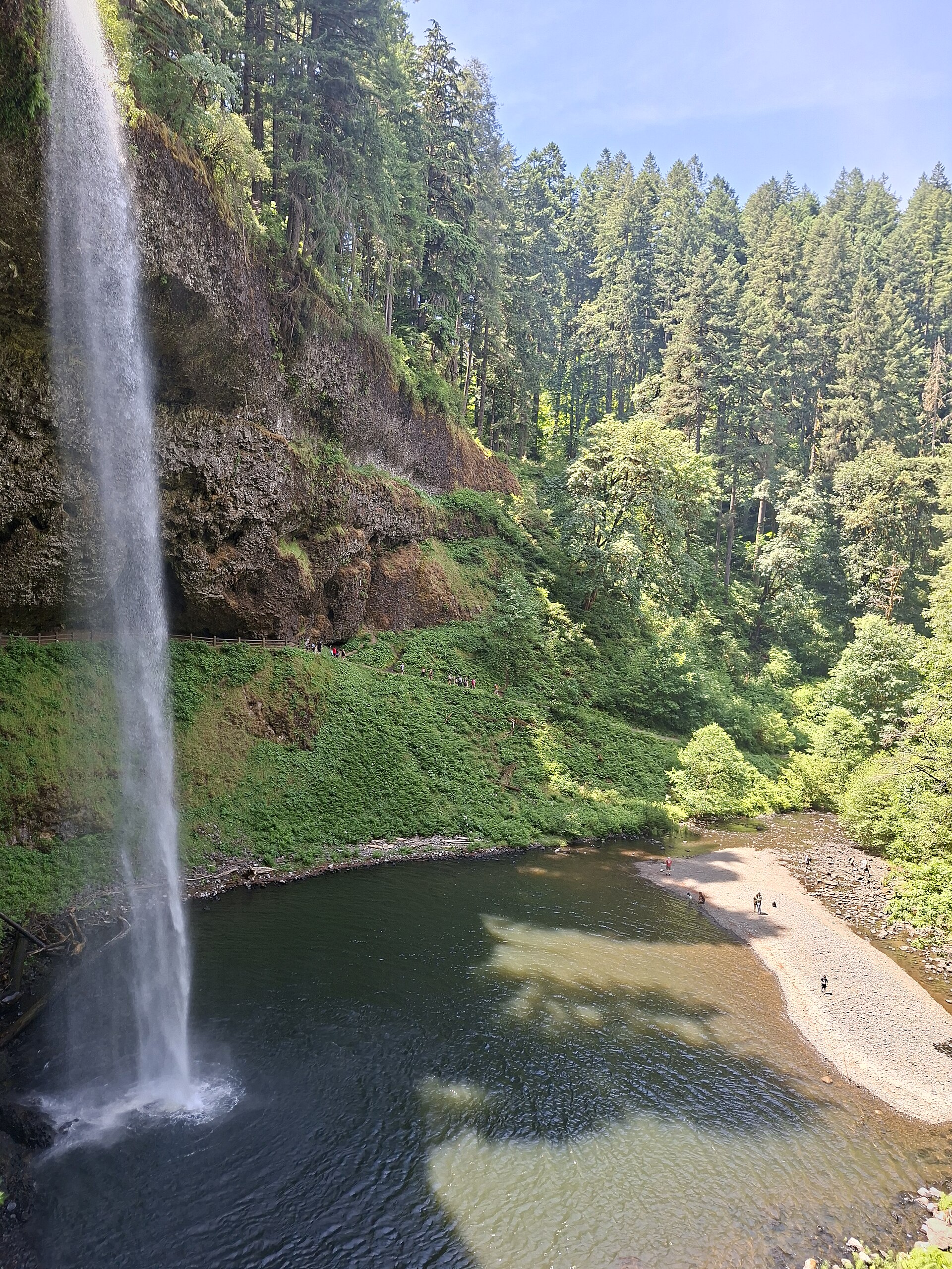 Plate CCCXXII
Silver Falls
forestSilver Falls State Park, near Silverton, Oregon
A long white drop into a fir canyon.
44.9° N · 122.7° WOpen plate →
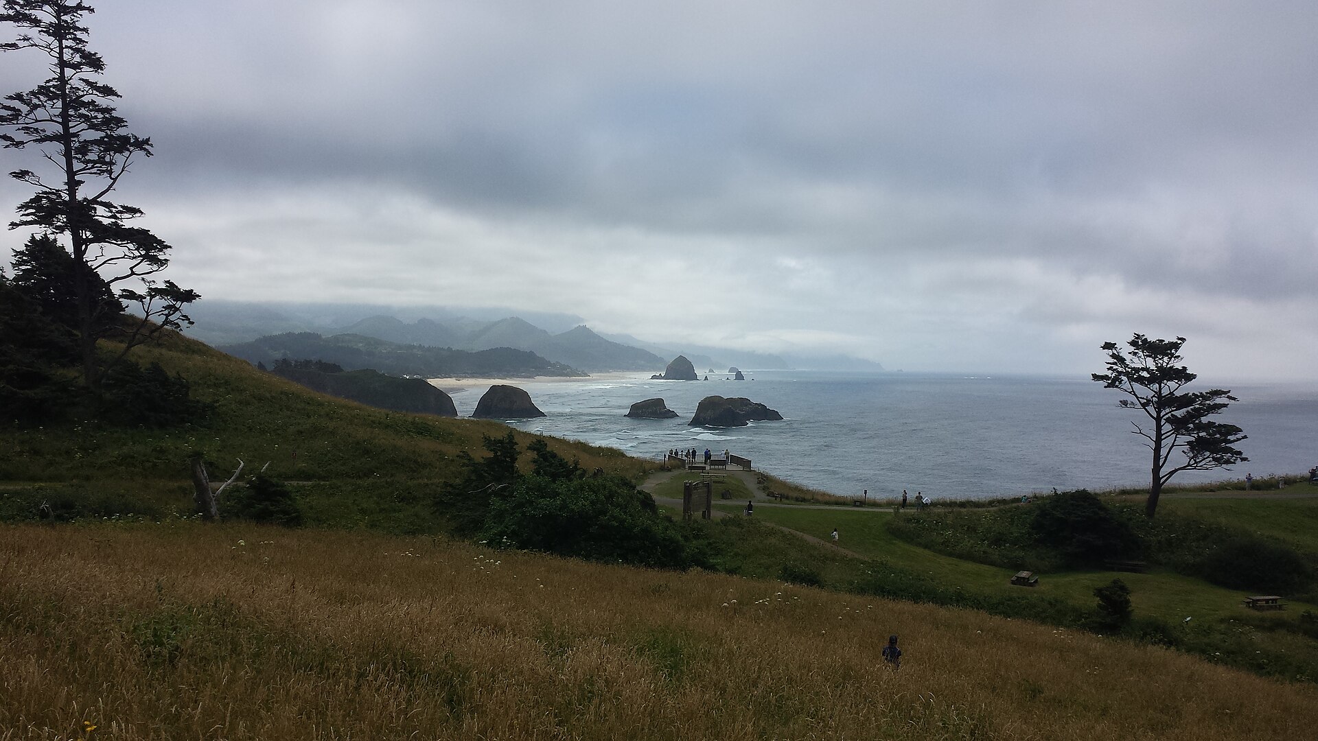 Plate CCCXXIV
Ecola
coastEcola State Park, Tillamook Head, Oregon
Spruce headlands and a black rock in a gray sea.
45.9° N · 124.0° WOpen plate →
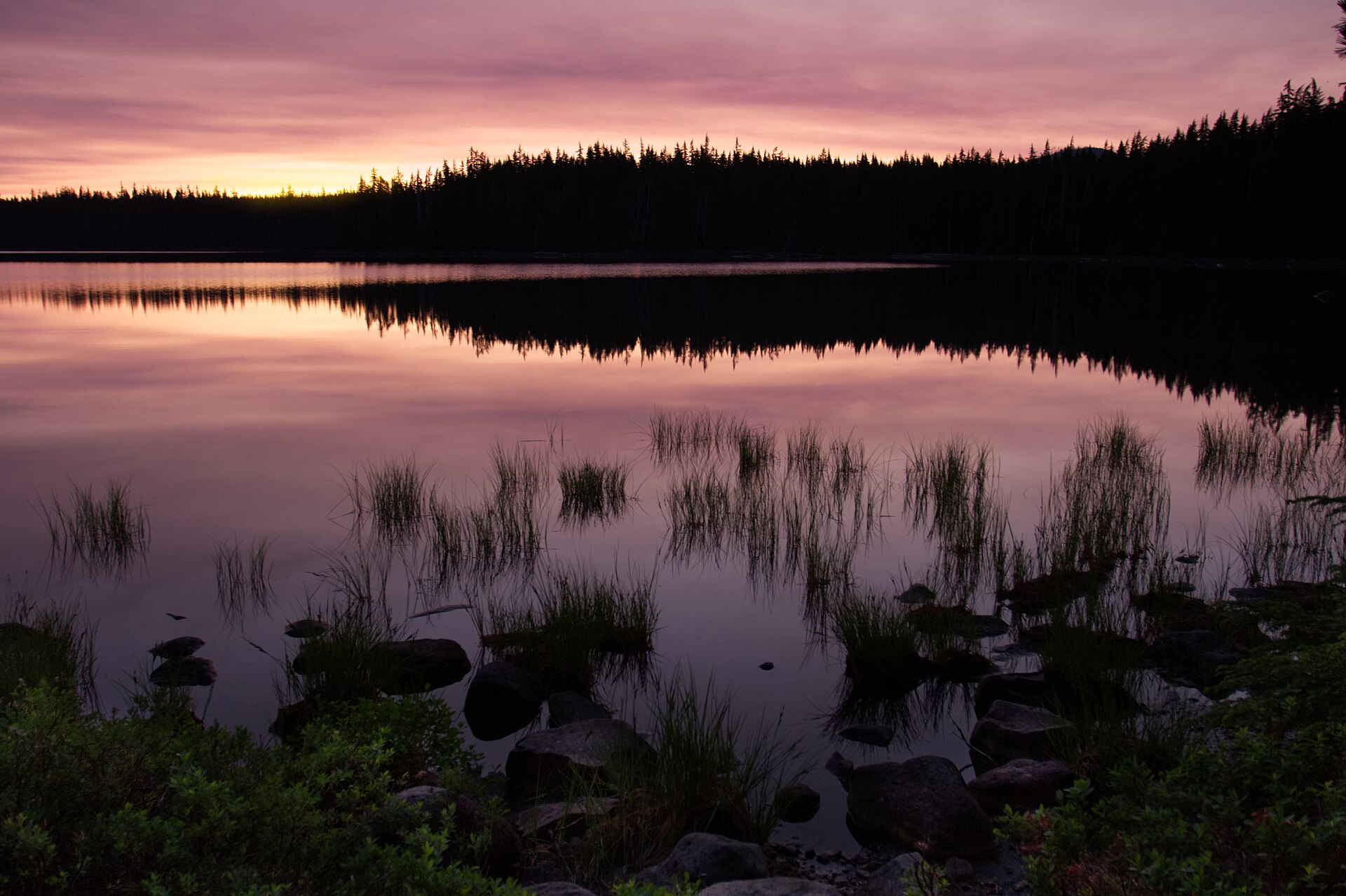 Plate CCCLX
Waldo Lake
alpineWillamette National Forest, Lane County, Oregon
A clear Cascade lake the highways miss.
43.7° N · 122.0° WOpen plate →
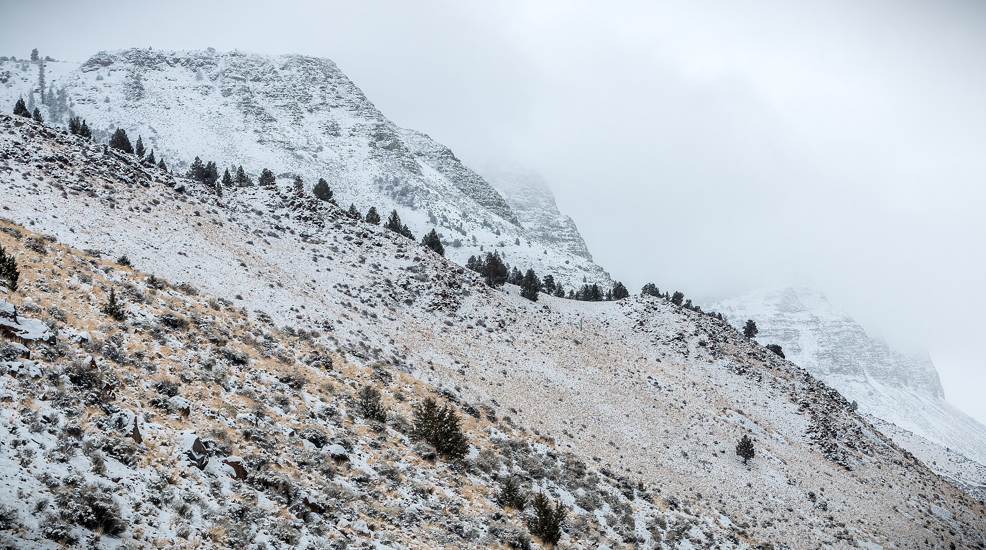 Plate CCCLXI
Abert Rim
hillsLake County, Highway 395, Oregon
The long rim over a bitter Great Basin lake.
42.6° N · 120.2° WOpen plate →