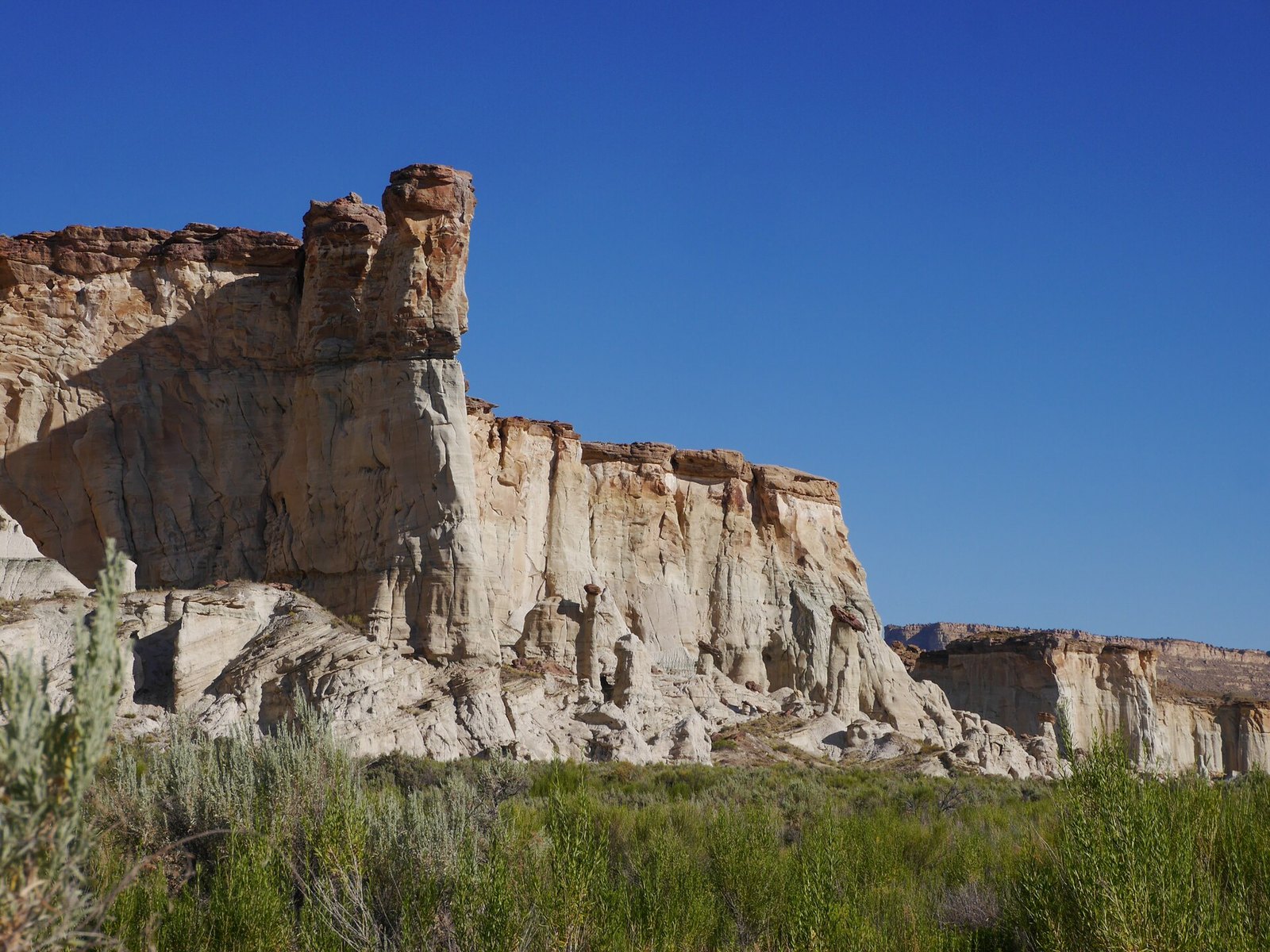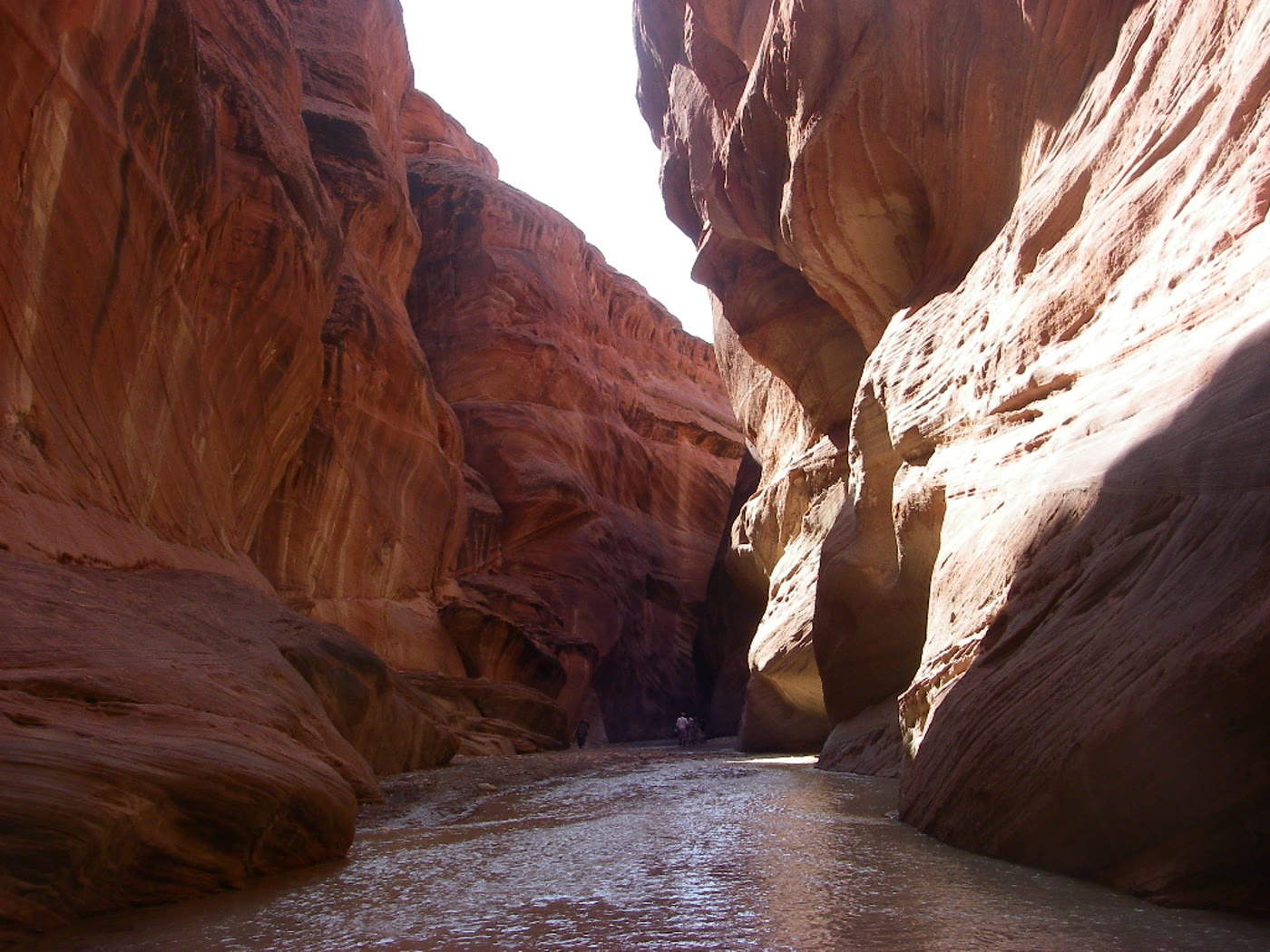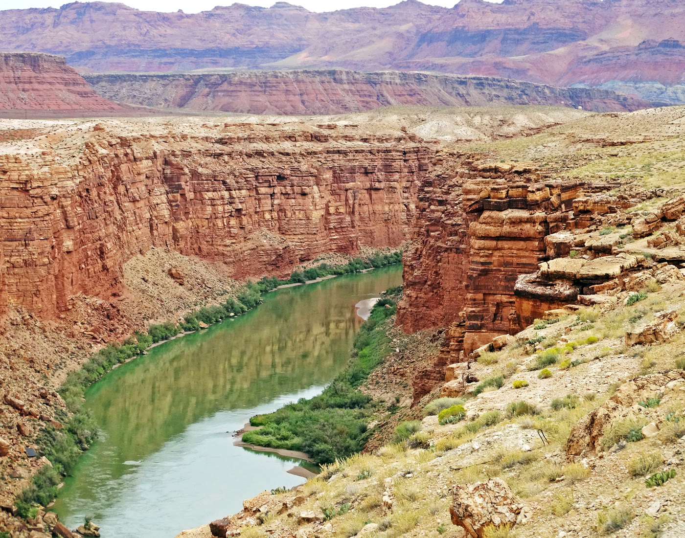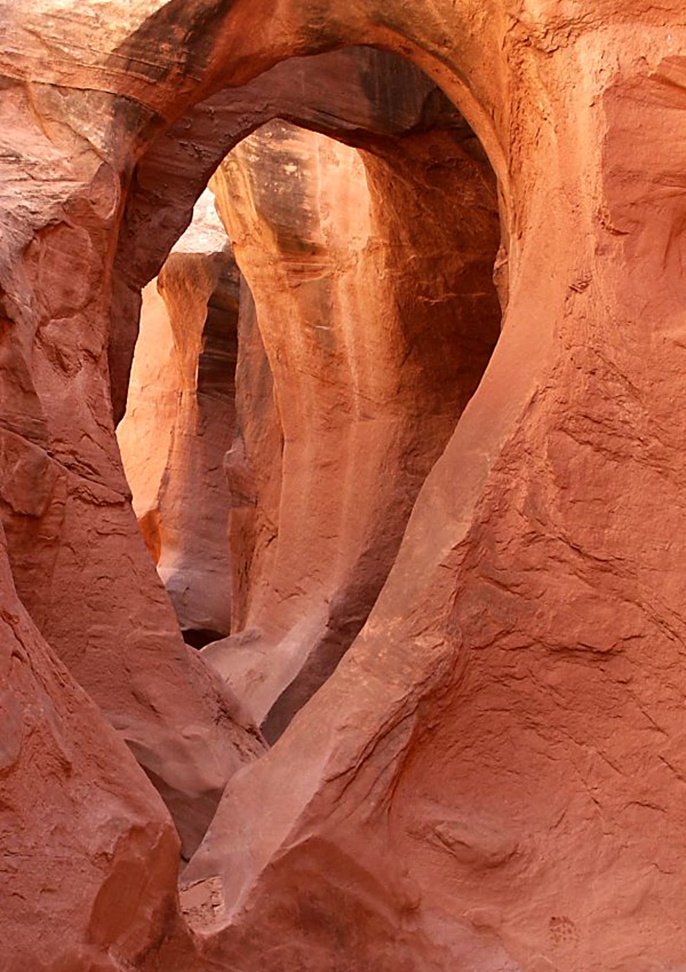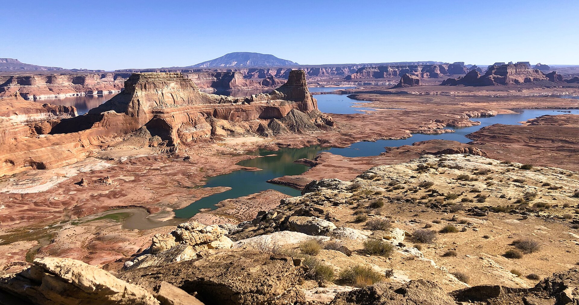
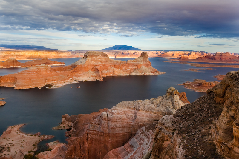
Fig. 1Padre Bay and Gunsight Butte from Alstrom Point
Photo: The Greater Southwestern Exploration Company · CC BY 2.0
Landform
A high-clearance Glen Canyon rim over Padre Bay — Gunsight Butte in the water, Navajo Mountain on the sky, not Wahweap Marina.
Field note
NPS Driving to Alstrom Point: from Big Water take Smoky Mountain / Croton Road (Rte 230); the Alstrom turnoff is mile 18.2 (N37°7′50″ W111°24′53″), then Rte 264. Last miles are high-clearance 4WD on sandstone — walk if the track ends. The map pin is the Padre Bay cape, approx; the NPS end-of-road string is malformed and is not republished as a cliff GPS. This plate is Alstrom Point, not Wahweap Hoodoos and not Horseshoe Bend.
Alstrom Point is the Glen Canyon Padre Bay cape. NPS Driving to Alstrom Point: Smoky Mountain / Croton Road from Big Water; turnoff at mile 18.2, then Rte 264. Last miles high-clearance 4WD. The map pin is the cape, approx — NPS does not publish a clean cliff GPS. This plate is the Padre Bay rim, not Wahweap Hoodoos and not Horseshoe Bend.