Back to the atlas
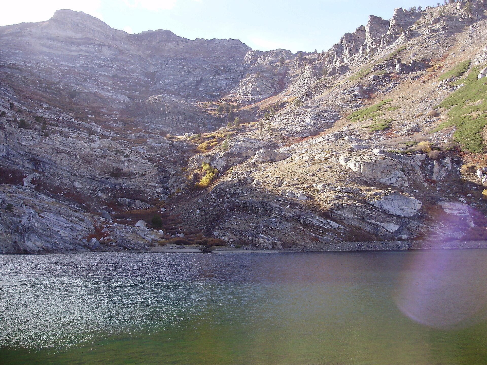
Angel Lake in its East Humboldt cirque
Views 0/3

Fig. 1Angel Lake in its East Humboldt cirque

Photo: Famartin · CC BY-SA 3.0

Landform

Cliffs stand on three sides of a Humboldt-Toiyabe cirque at the end of Nevada 231

Field note

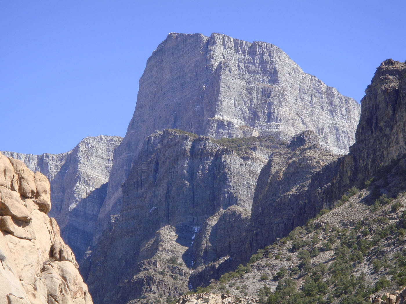
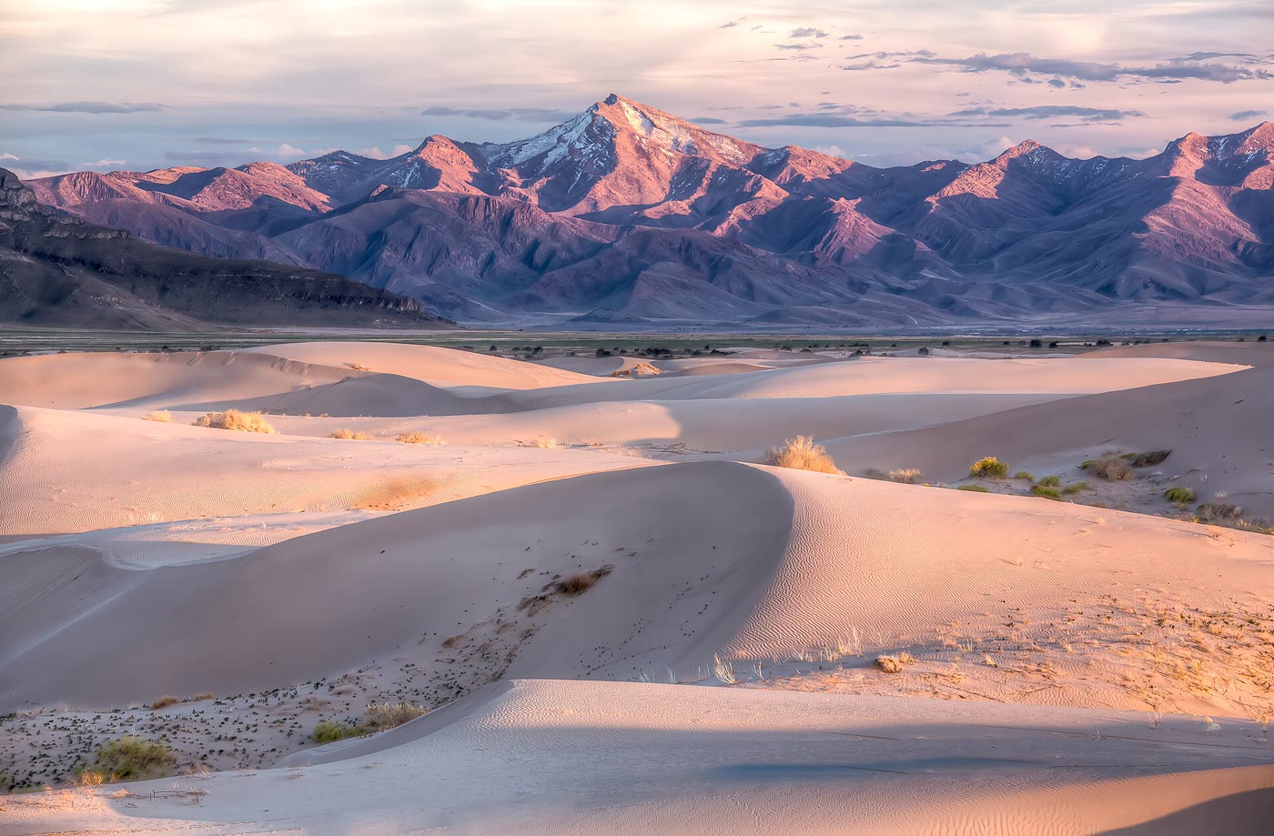
Angel Lake sits at 8,378 feet under Greys Peak, which rises to 10,674. Nevada 231 climbs from Wells to a Forest Service camp on the east shore. The Ruby Mountains are the next range west and already have a plate. Wheeler Peak and Great Basin National Park are the Snake Range, far to the south. This plate is Angel Lake.

Angel Lake is the East Humboldt tarn at the end of Nevada 231, above Wells. Greys Peak stands on the west wall. The Rubies are the next range west. This plate is the lake, not Great Basin National Park.
Views & peaks

Inside this plate

Views 0/3


Stamp each view as you reach it; the plate seals when every one is inked.

A private leaf

Prints from Angel Lake


Instant paper, this copy only. Write on the white — a line the walk still owes you.

The prints

0 / 24

Opening the leaf…

Onward

A day's country


The nearest plates, by the miles.

Alpine chapter

More alpine destinations


Other US alpine plates. See all alpine destinations in the USA

Fold-out

On the chart


Vintage map of the United States