Landform
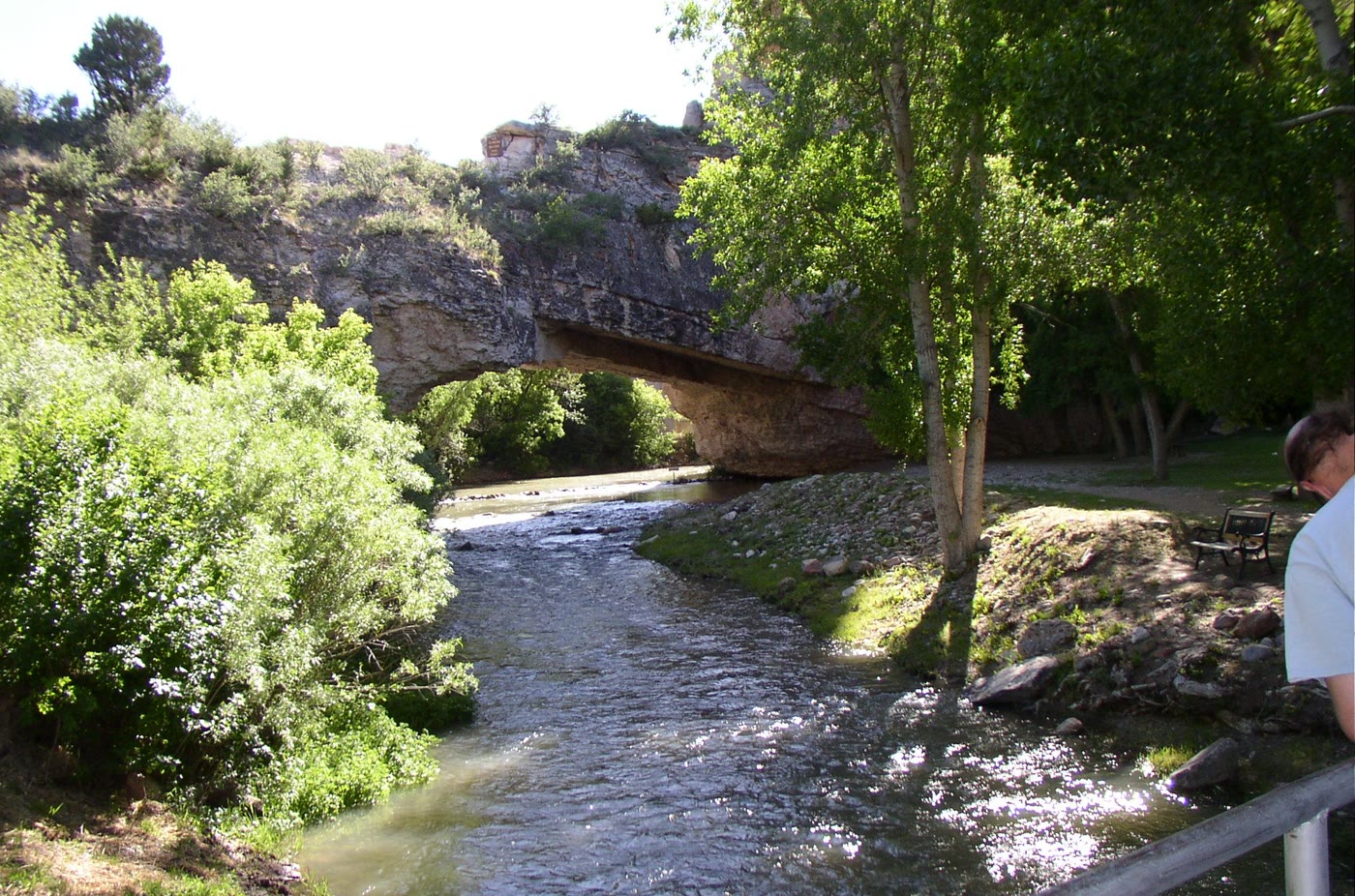
A limestone arch spanning LaPrele Creek — a small canyon the water walked under.
Field note
The park is a pocket. The arch is the whole country for a minute. The water still uses the door it cut.
The Field Atlas
0/363Canyon chapter · 42.73° N · 105.61° W
A limestone arch spanning LaPrele Creek — a small canyon the water walked under.
The park is a pocket. The arch is the whole country for a minute. The water still uses the door it cut.
A private leaf
Instant paper, this copy only. Write on the white — a line the walk still owes you.
0 / 24
Opening the leaf…
Onward
The nearest plates, by the miles.
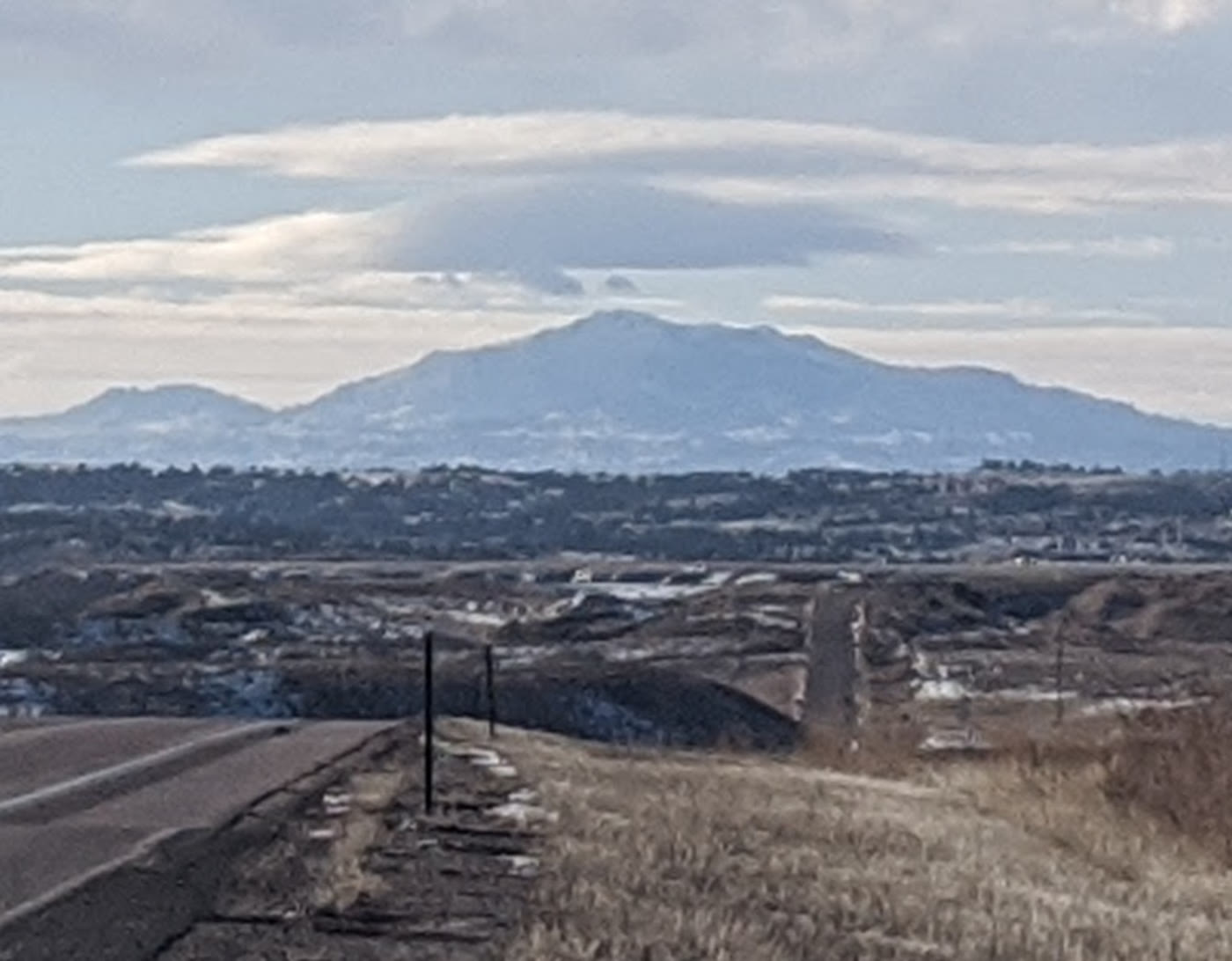 Laramie Peak33 miles · WyomingCLXIX
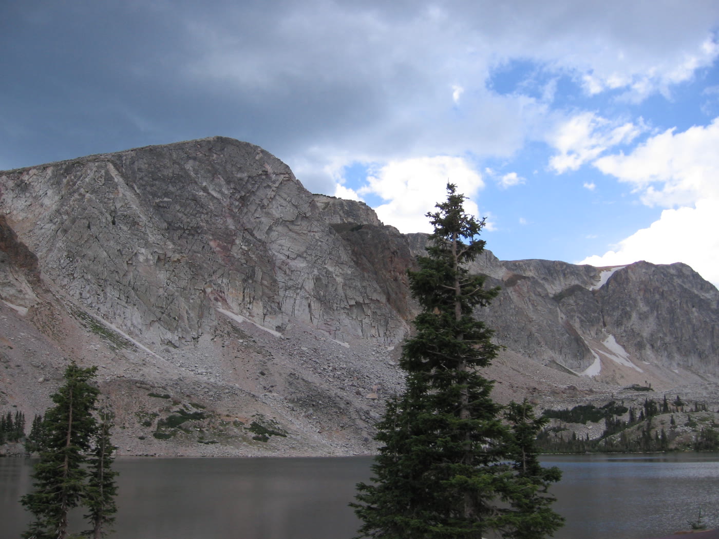 Medicine Bow101 miles · WyomingCLXVII
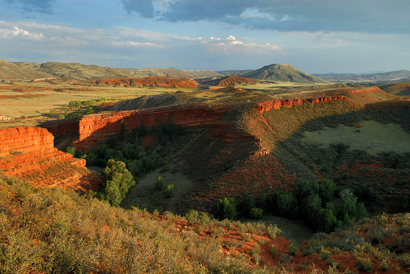 Red Mountain Open Space125 miles · ColoradoCLXXV
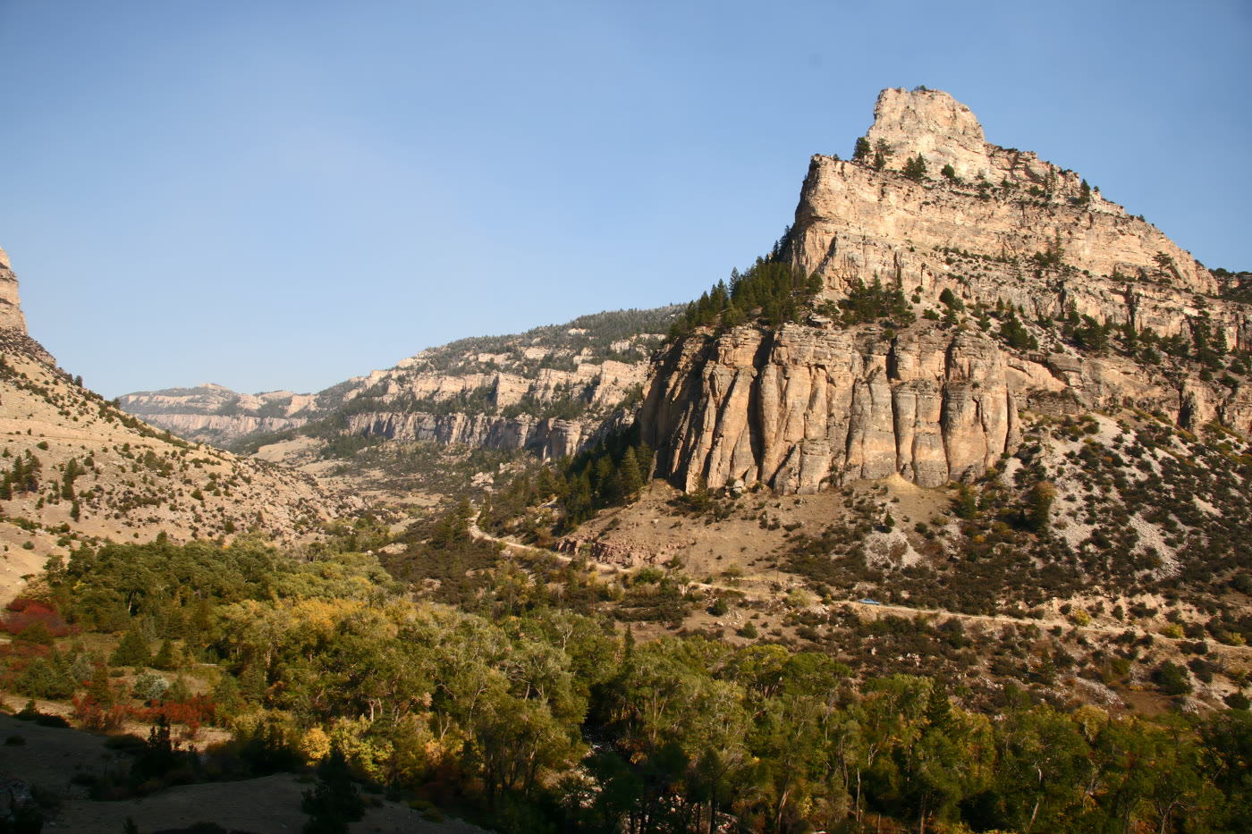 Tensleep Canyon127 miles · WyomingCLXXII
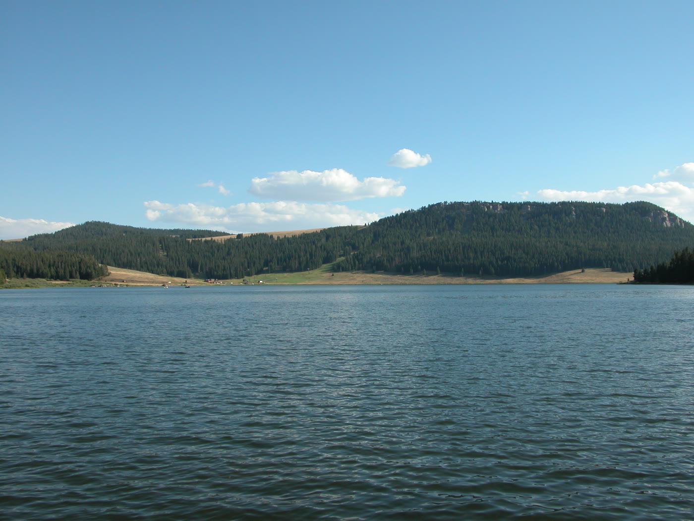 Meadowlark Lake128 miles · WyomingCLXXI
 The Needles, Black Hills130 miles · South DakotaLXV
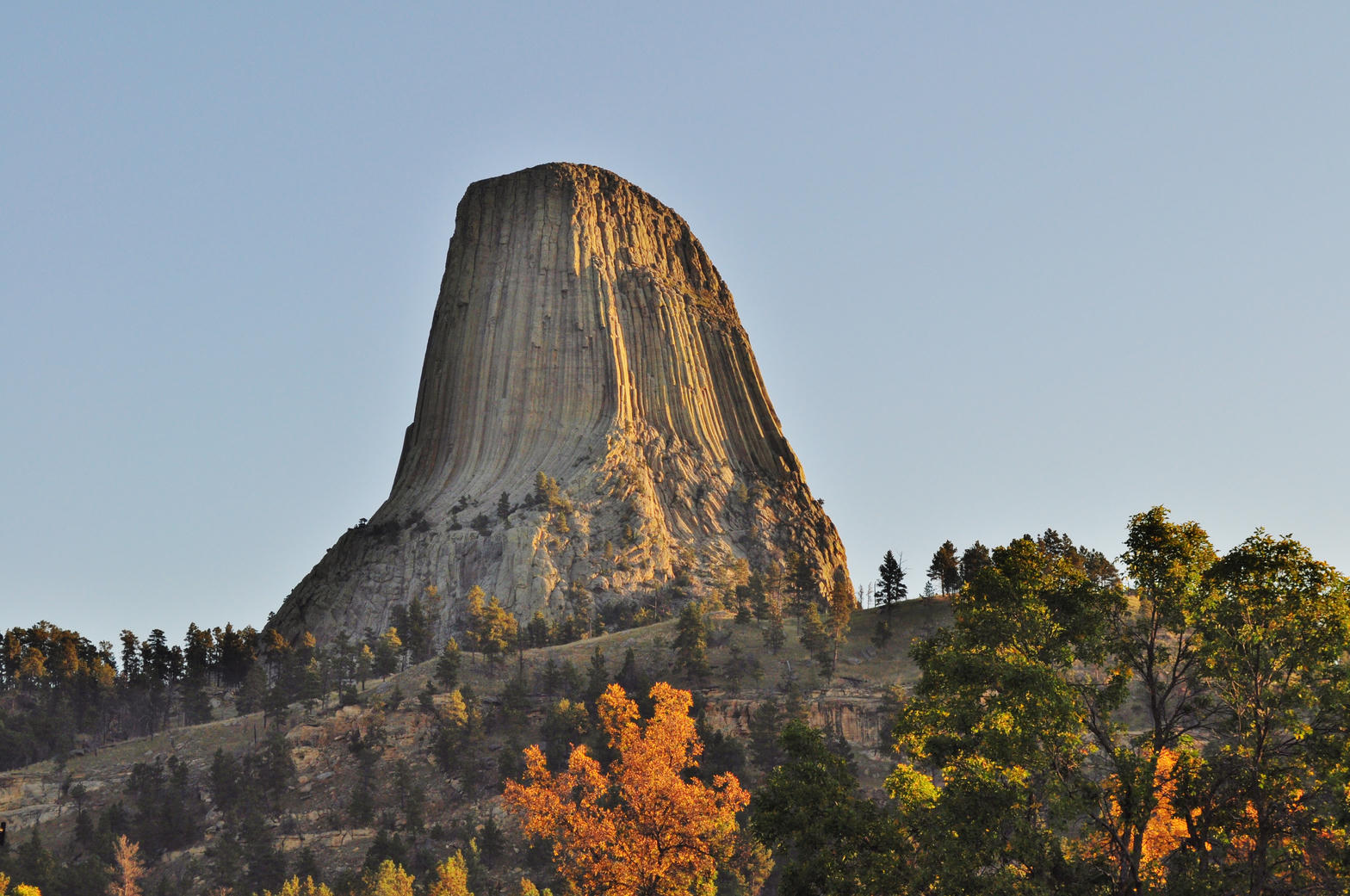 Devils Tower136 miles · WyomingXXXVII
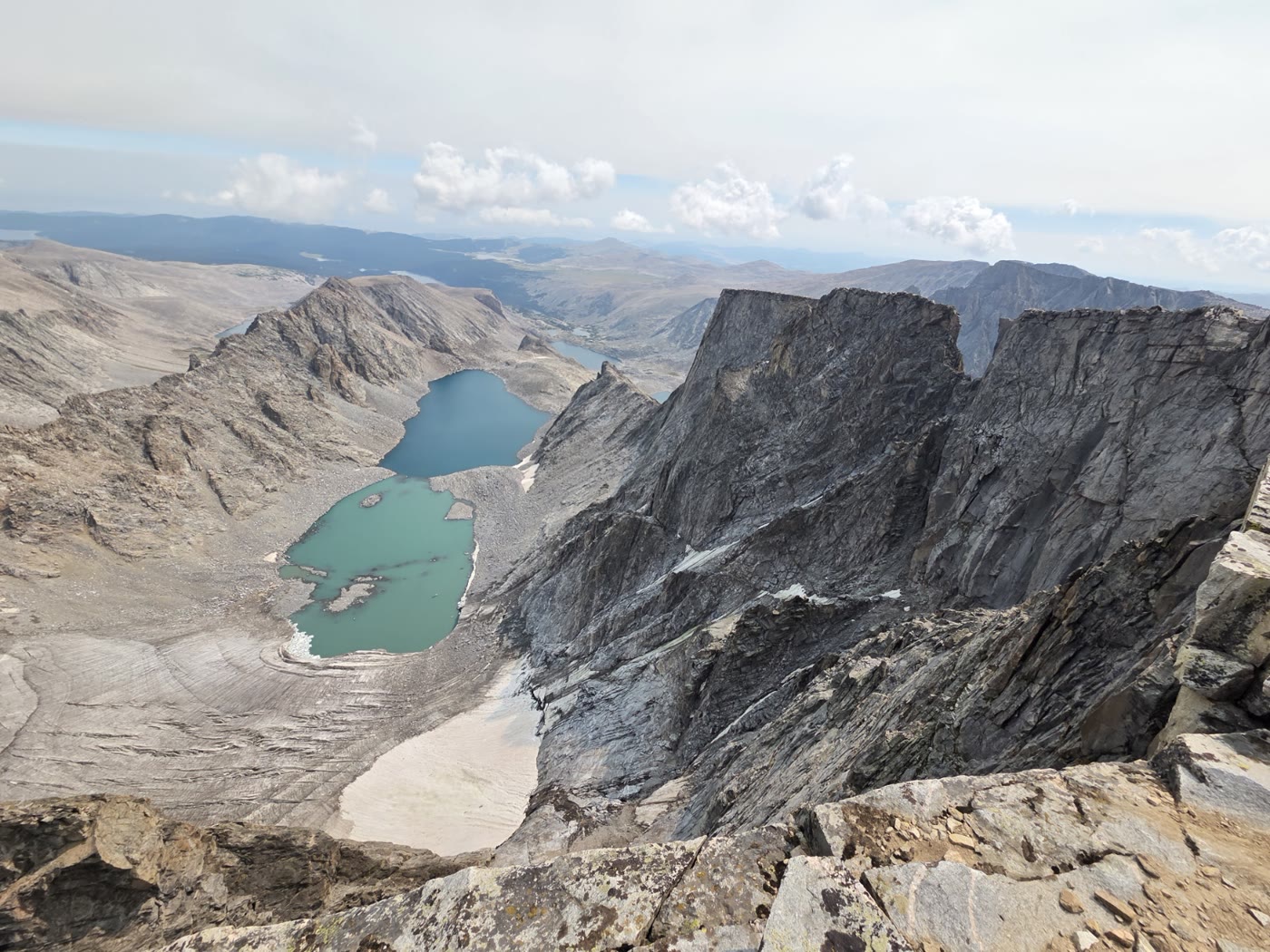 Cloud Peak138 miles · WyomingCLVIII
Canyon chapter
Other US canyon plates. See all canyon destinations in the USA
Fold-out






