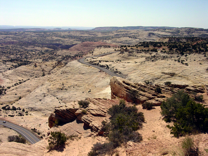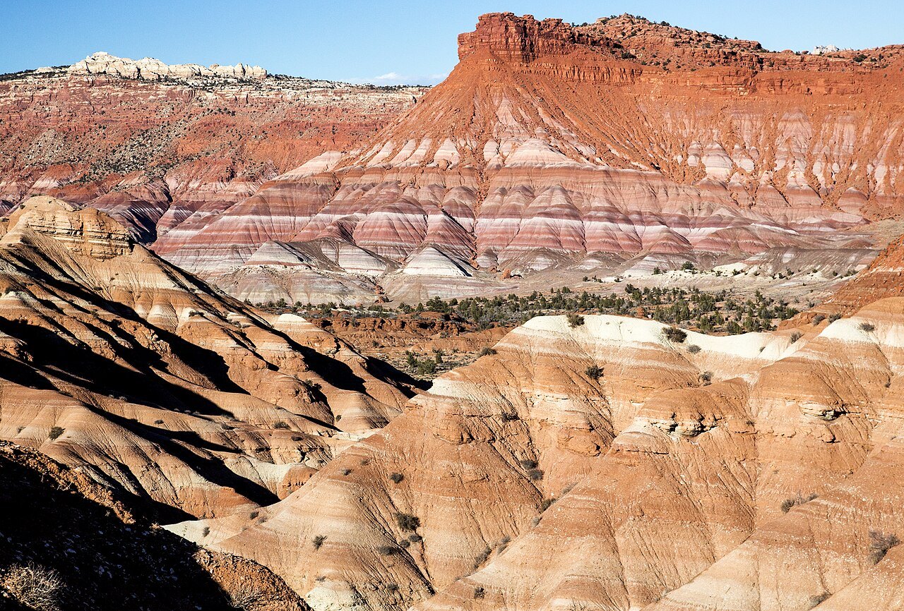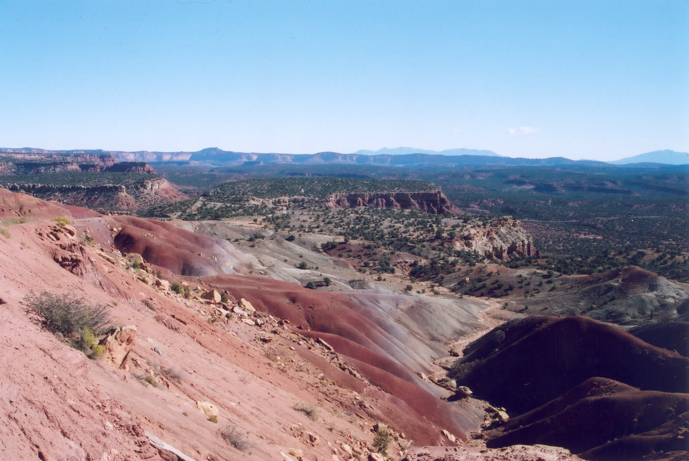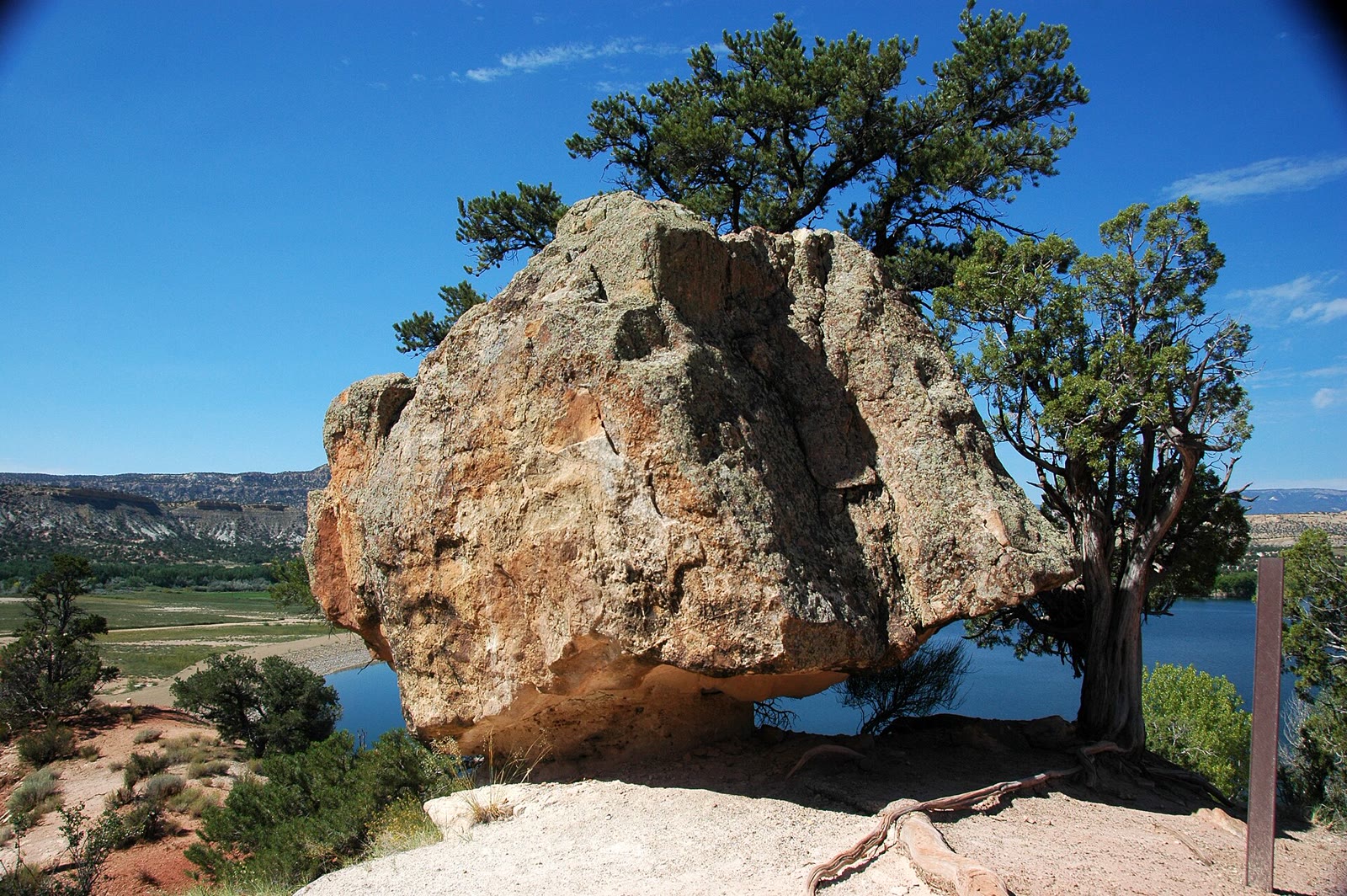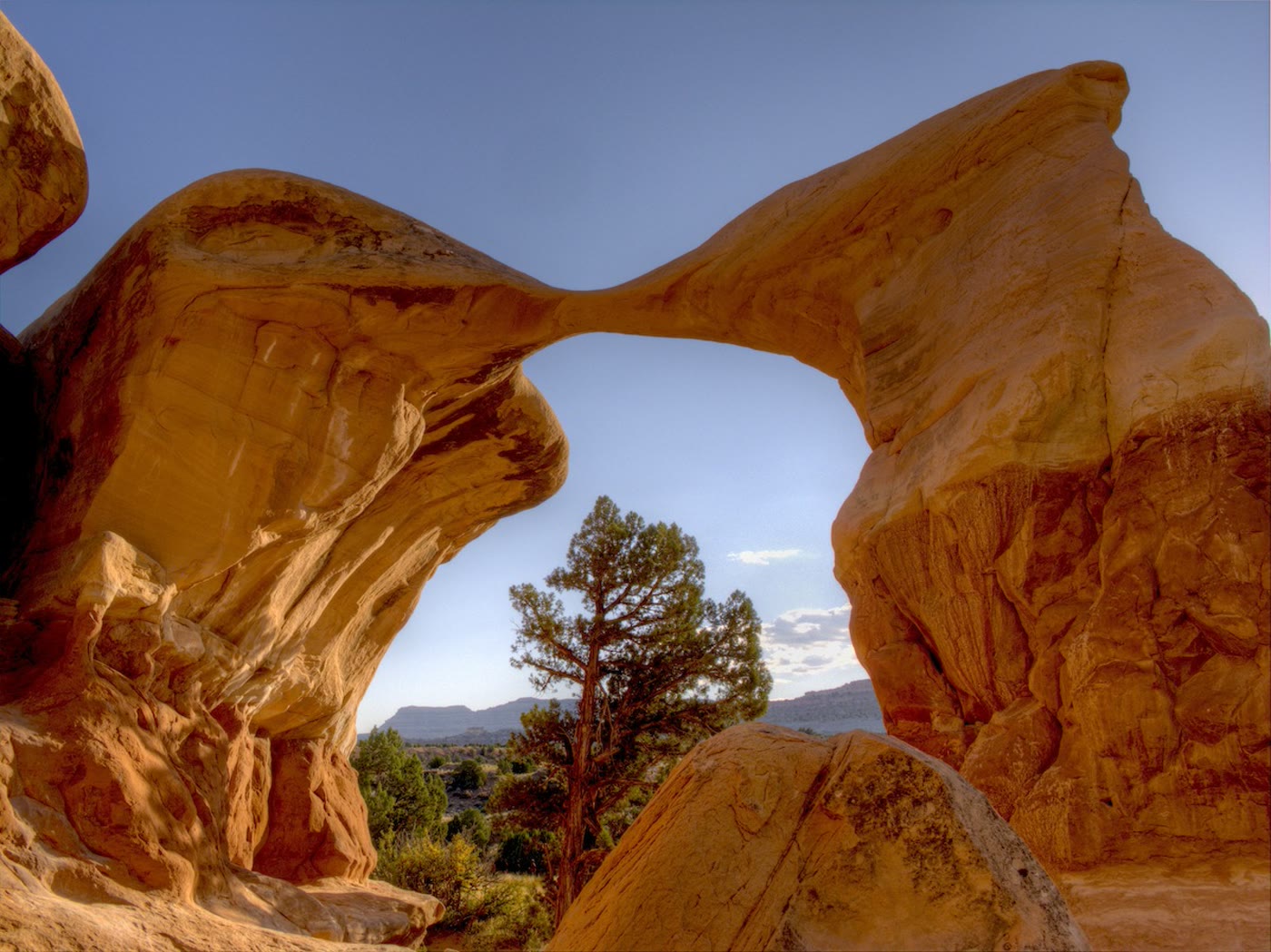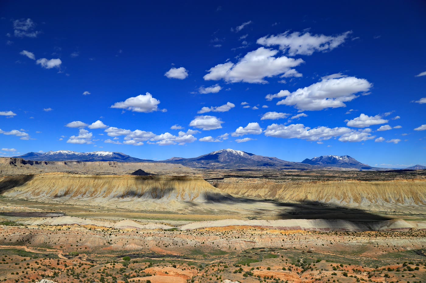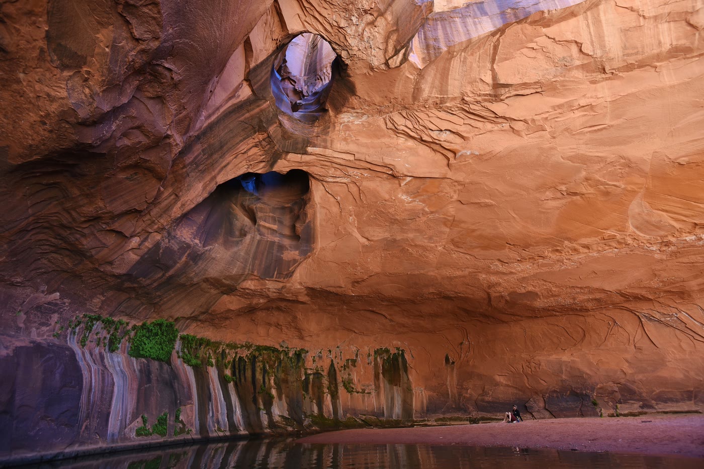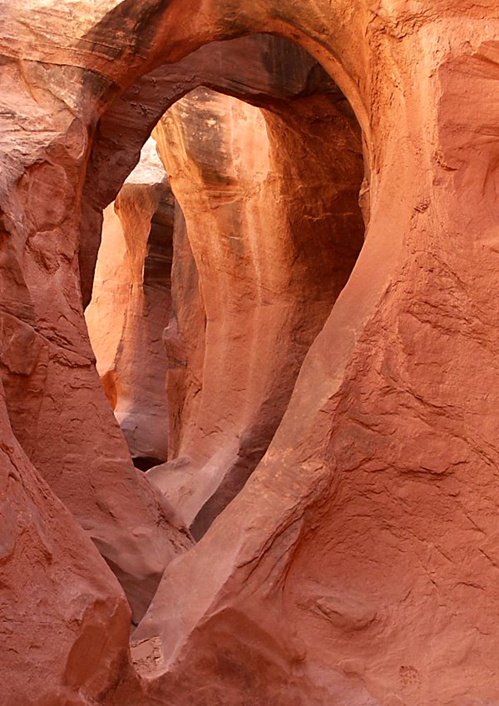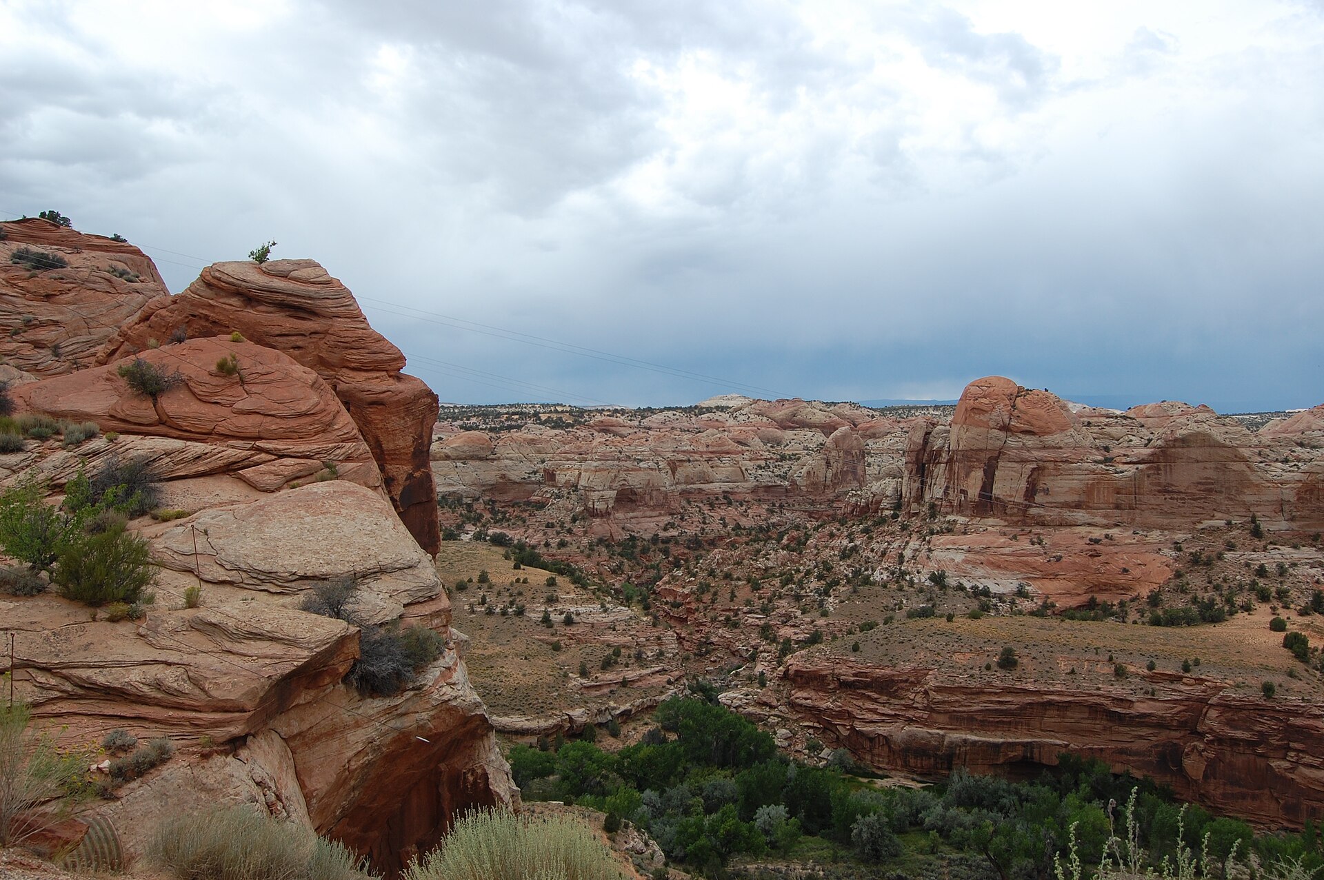
Fig. 1Escalante Canyon from Boynton Overlook
Photo: Unknown author Unknown author or not provided · Public domain
Landform
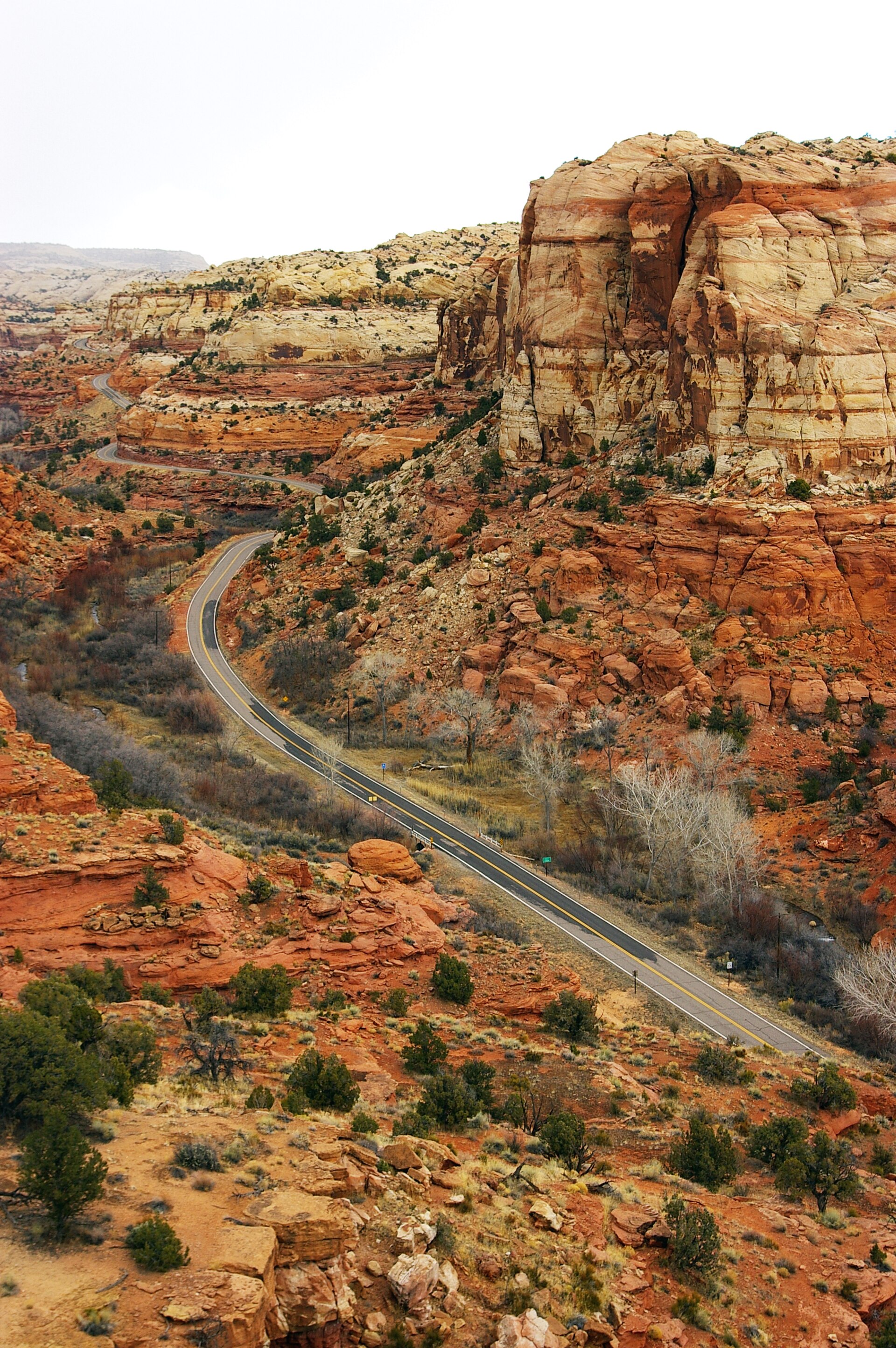
A Highway 12 wayside over the Escalante River canyon and the Hogsback — not Head of the Rocks and not Calf Creek Falls.
Field note
From Escalante, Highway 12 reaches this BLM wayside in thirteen miles, sandwiched between sandstone domes on the left. The Escalante is a green thread in Navajo walls. This plate is Boynton Overlook, not Head of the Rocks and not Calf Creek Falls.
Boynton Overlook is the BLM Highway 12 wayside thirteen miles east of Escalante, sandwiched between sandstone domes, looking into the Escalante River. This plate is the river wayside, not Head of the Rocks and not Calf Creek Falls.